|
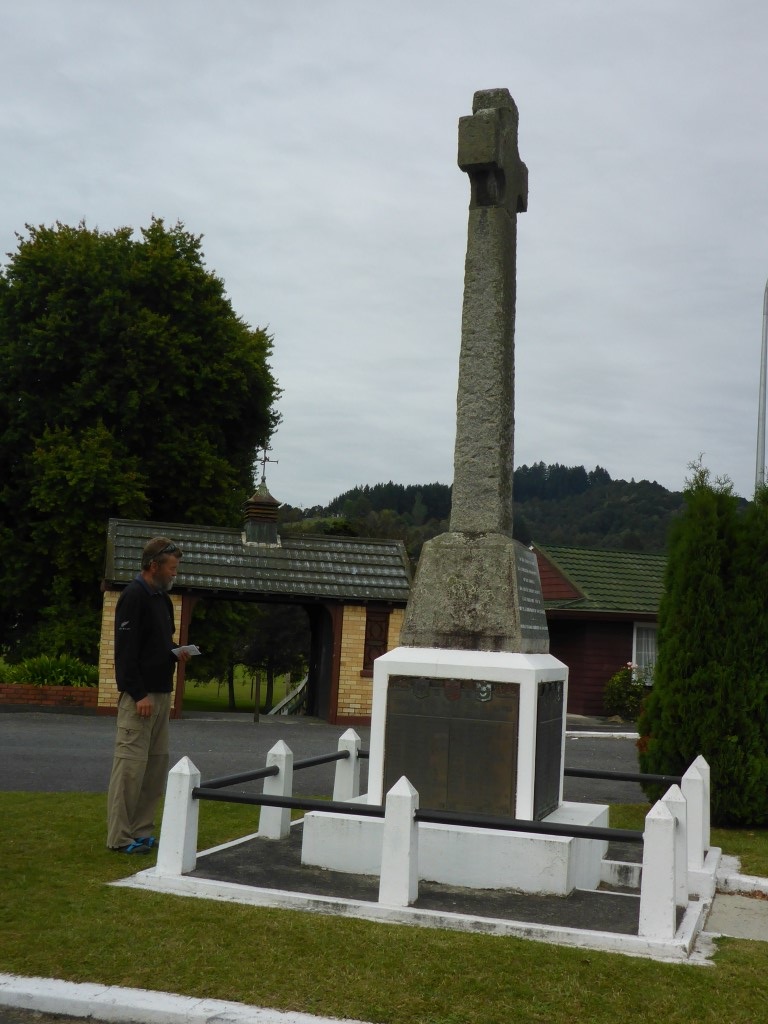
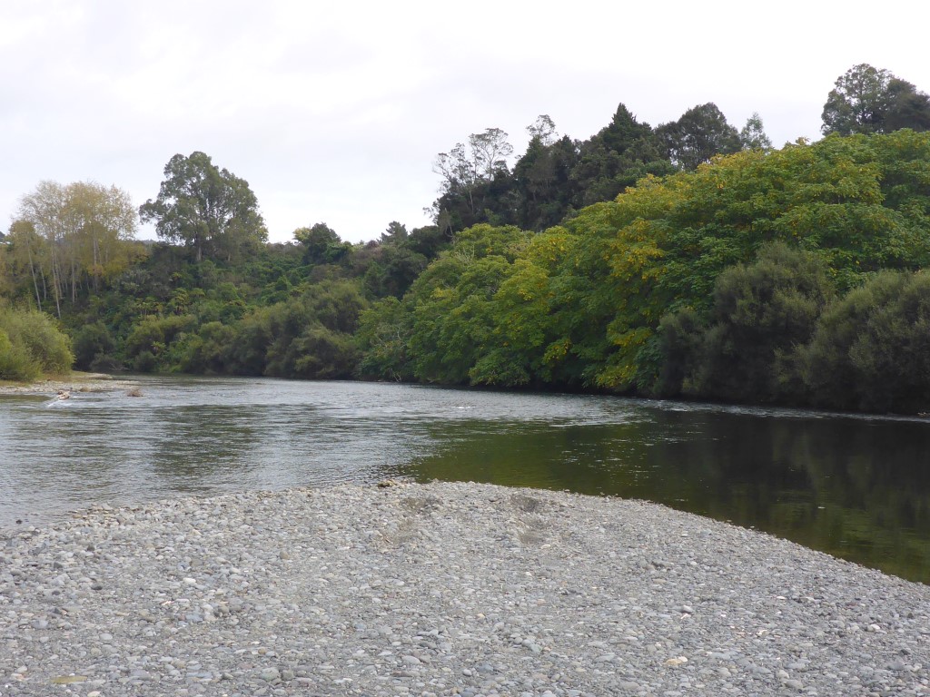
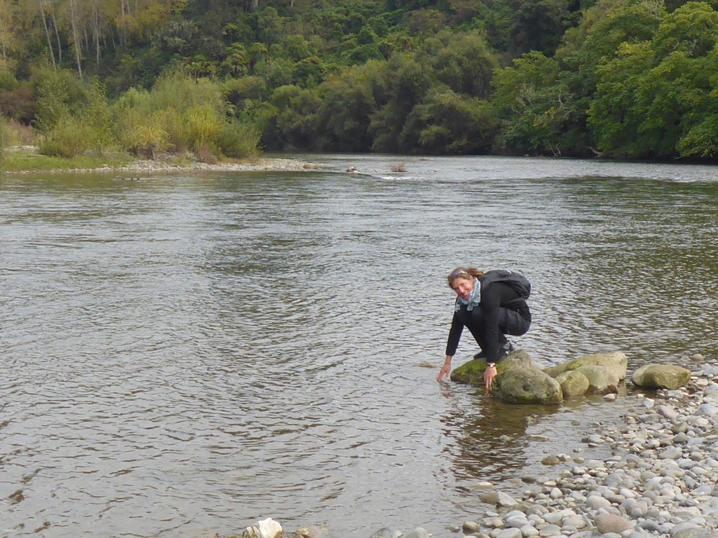
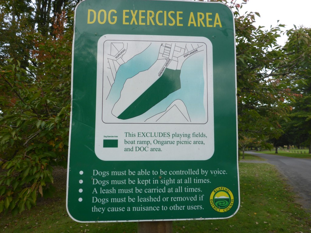
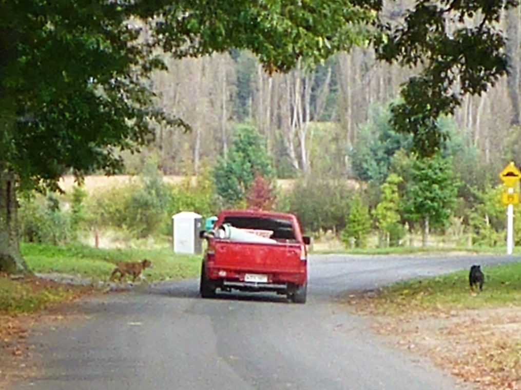
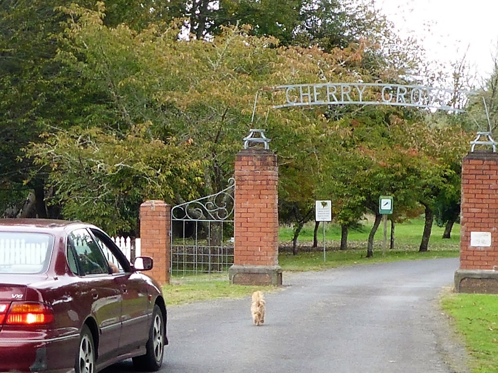
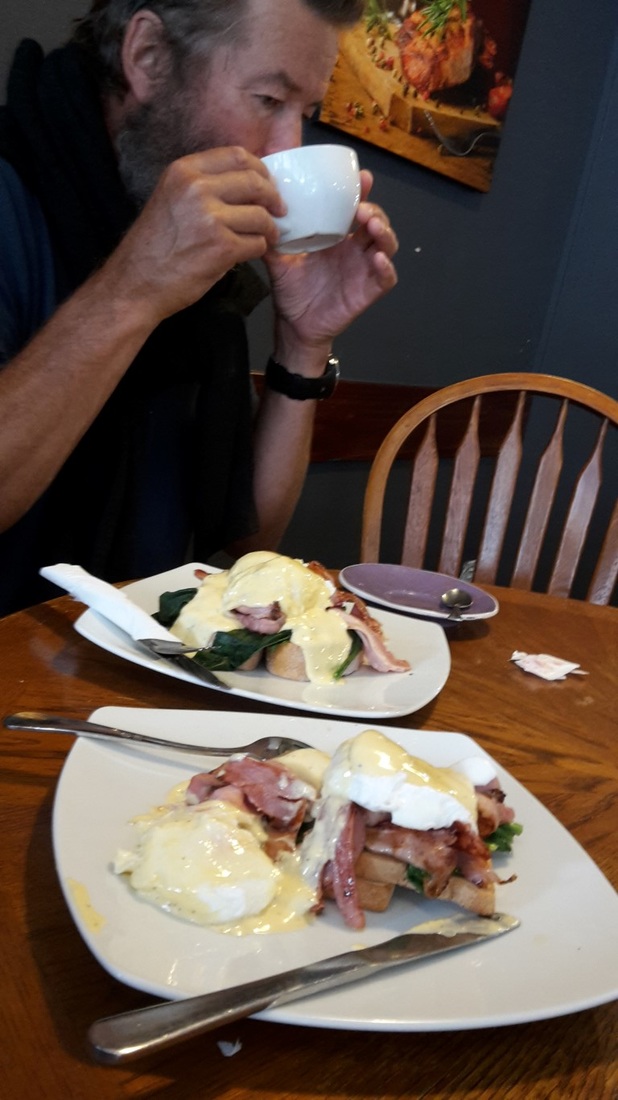
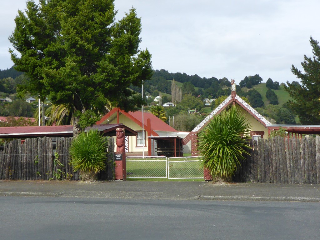
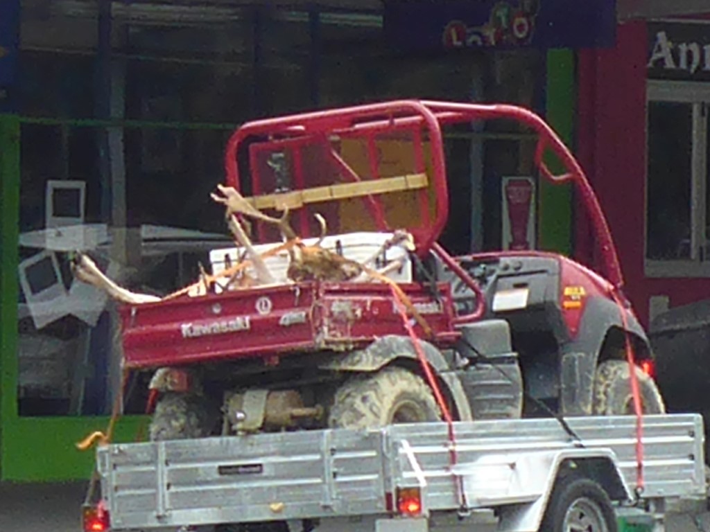
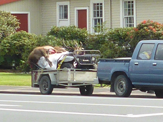
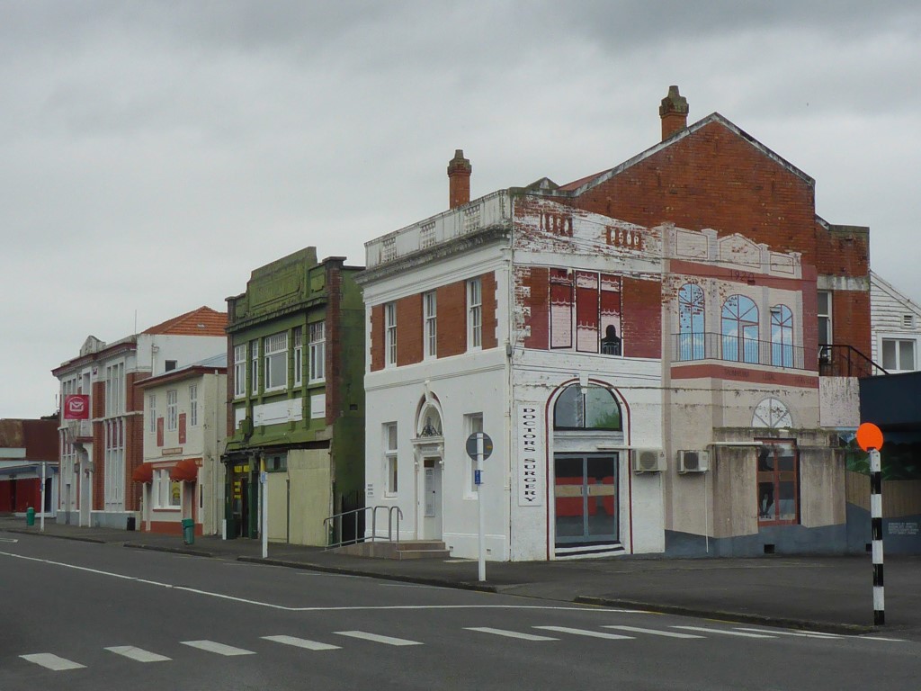
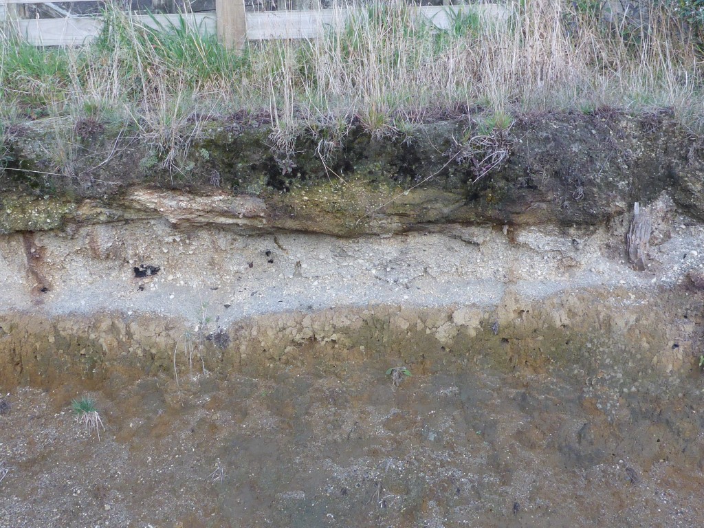
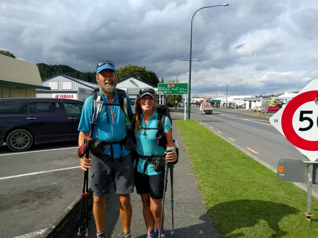
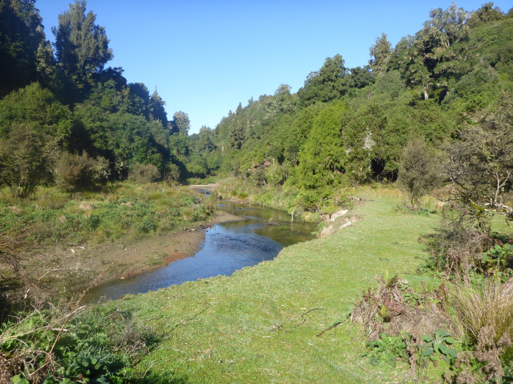
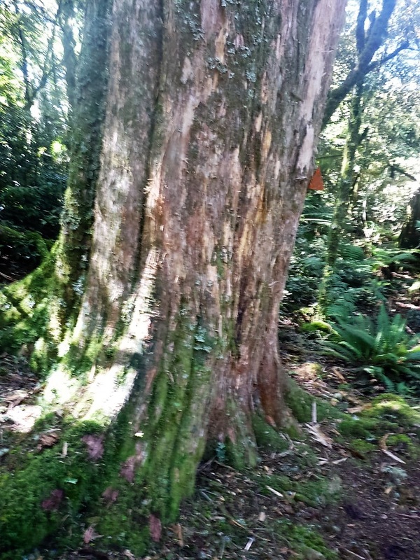
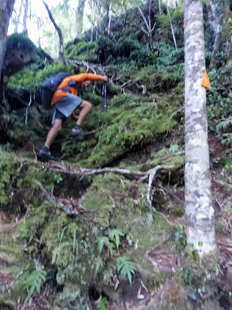
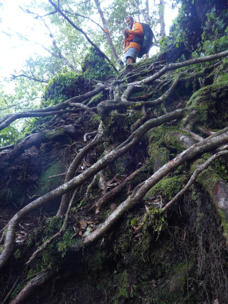
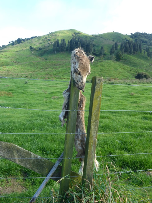
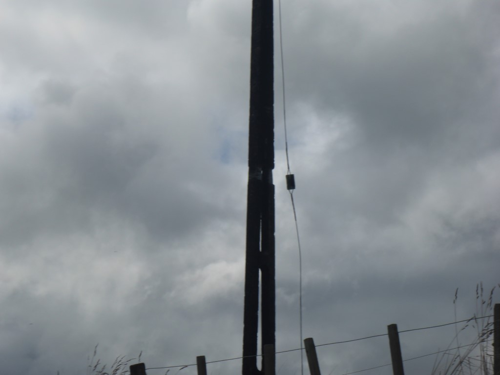
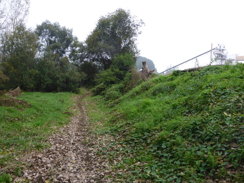
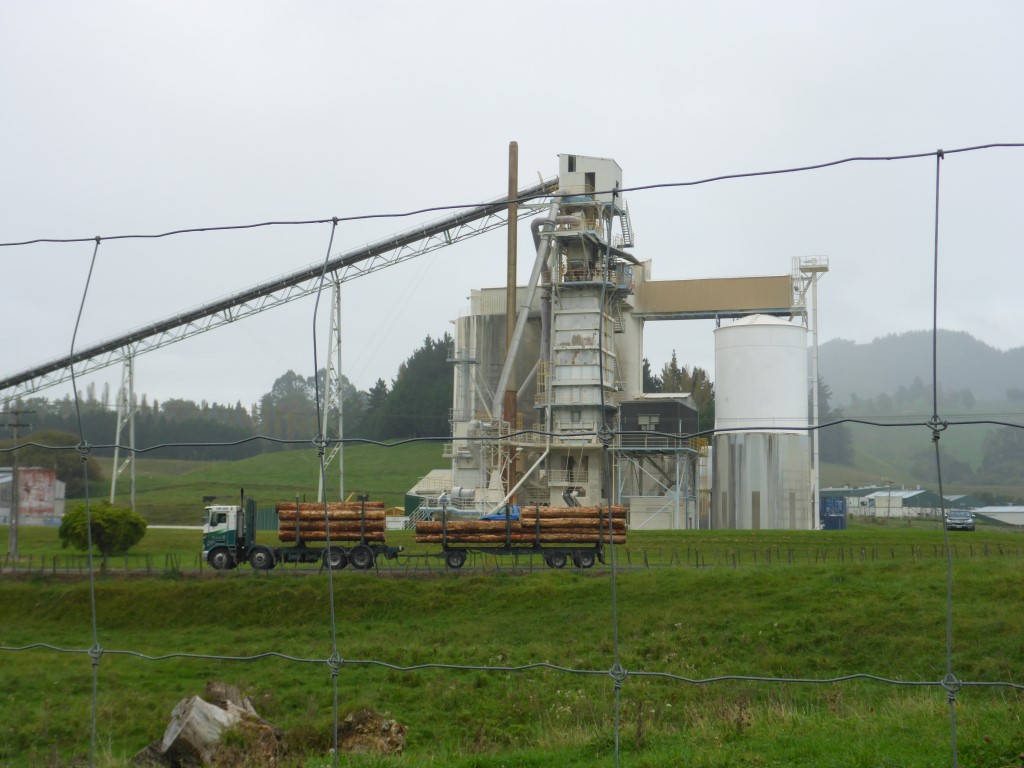
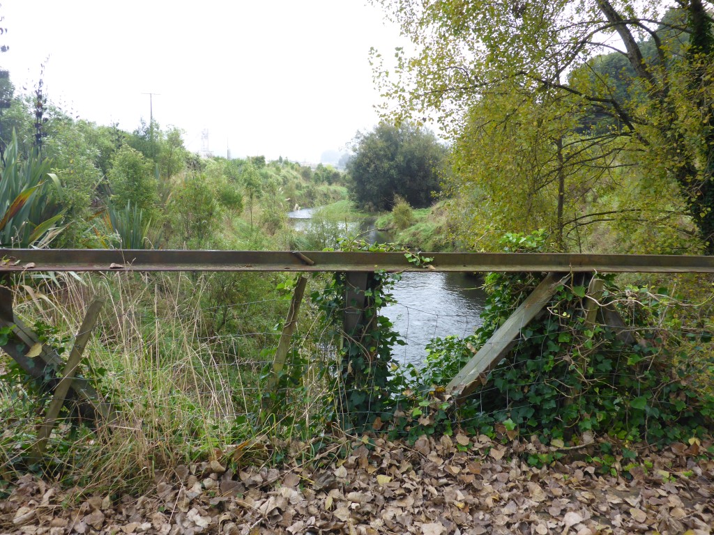
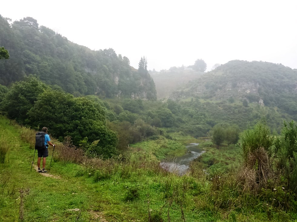
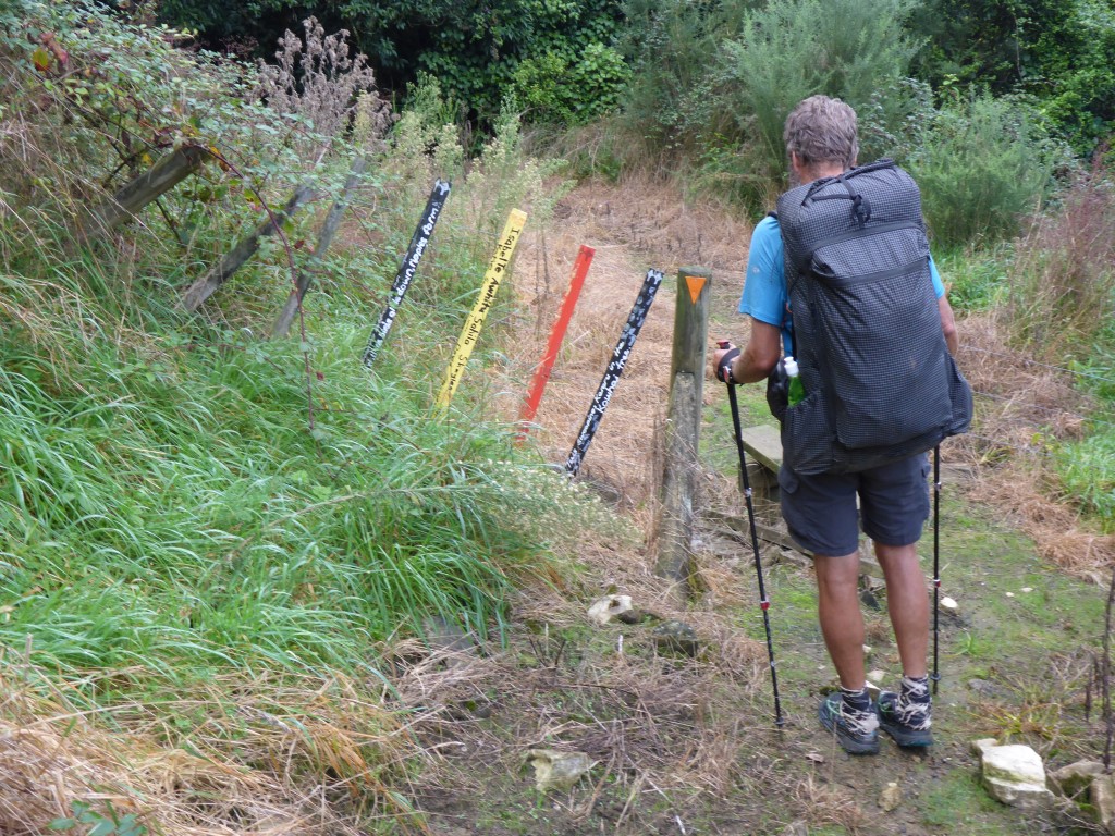
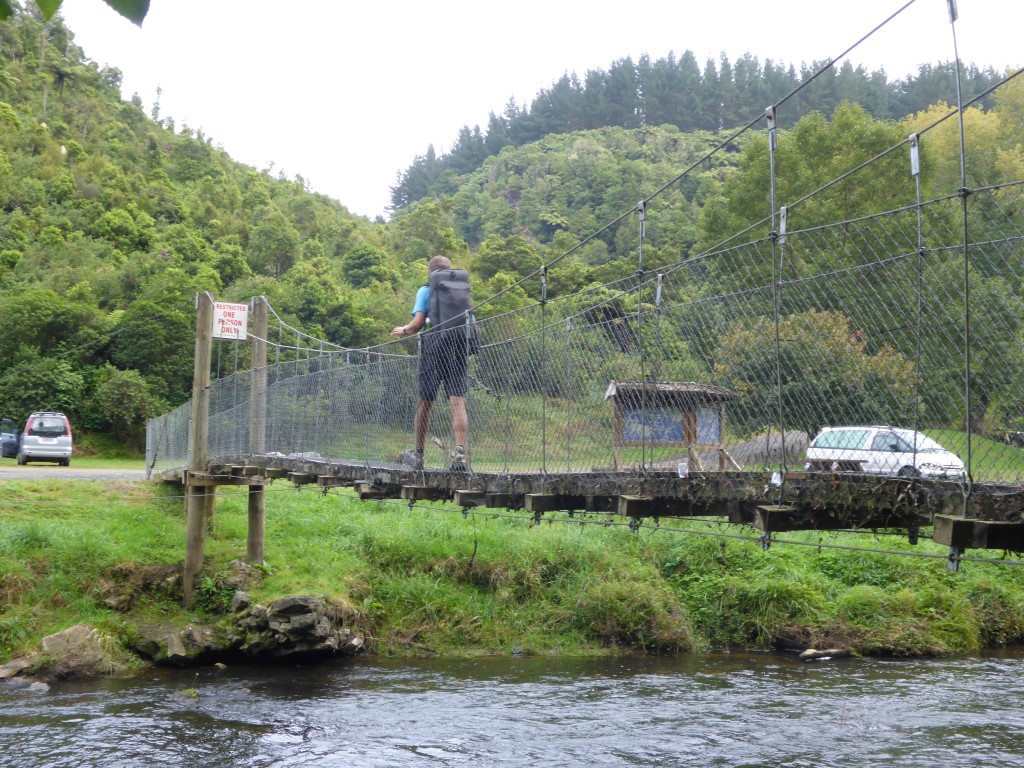
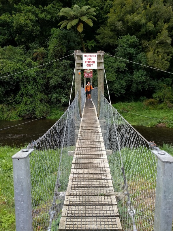
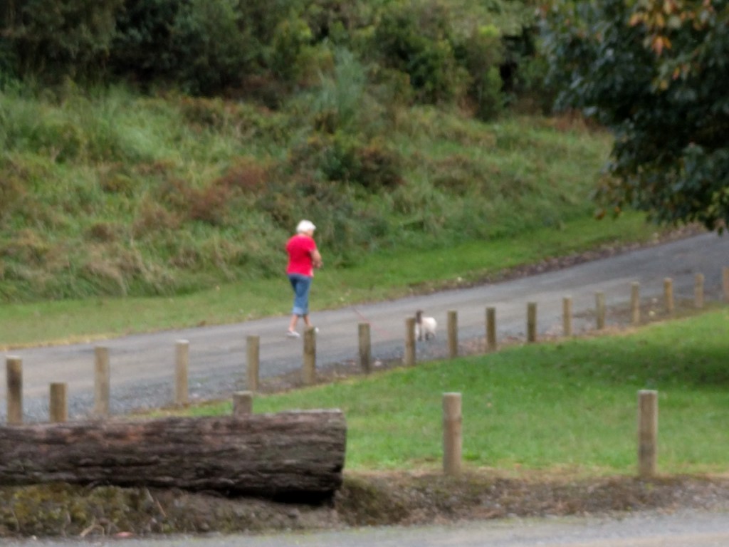
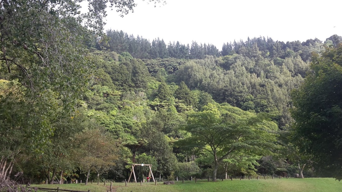
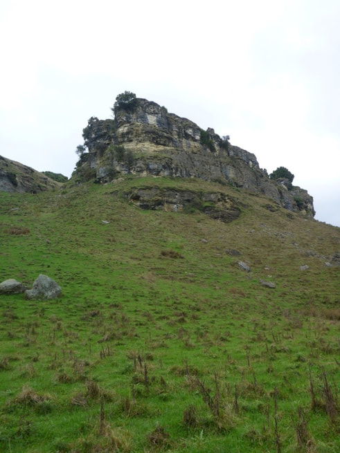
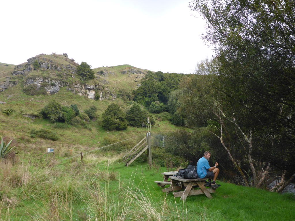
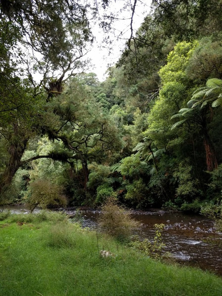
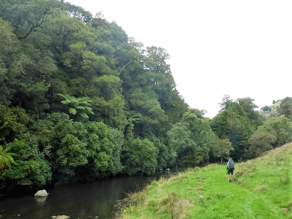
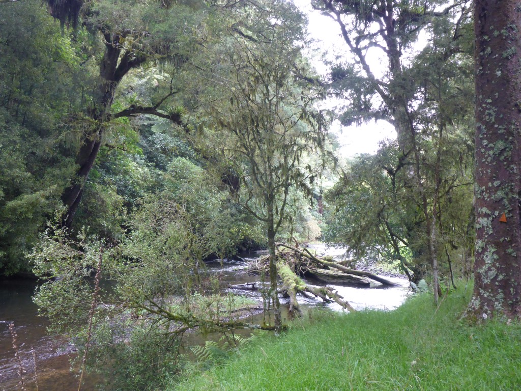
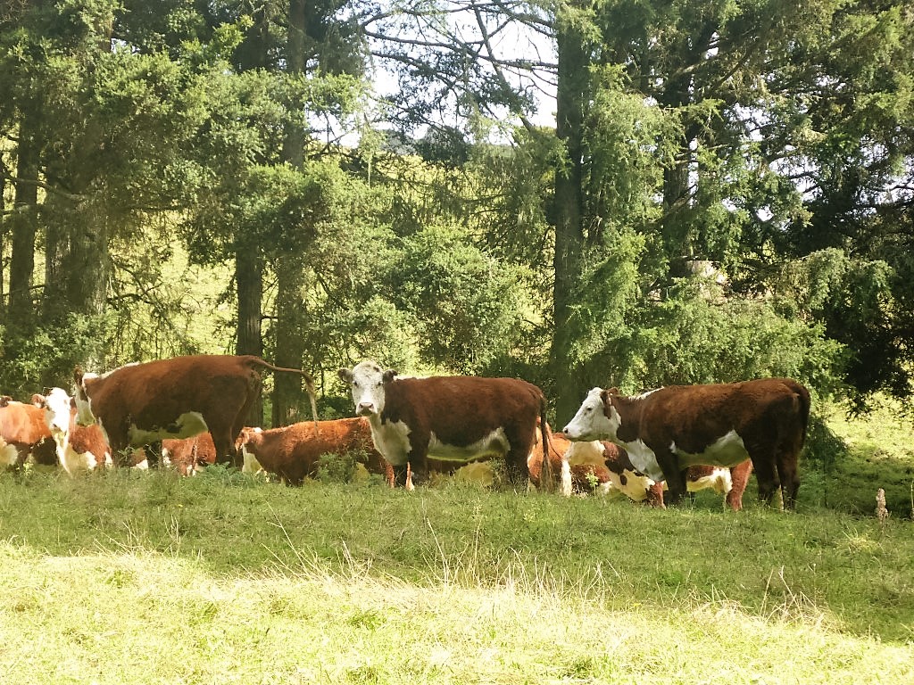
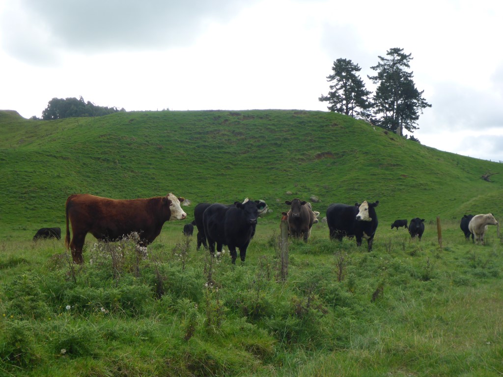
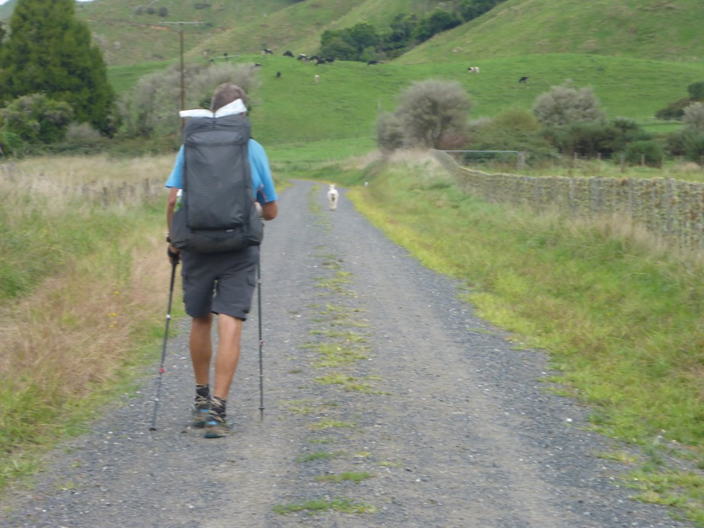
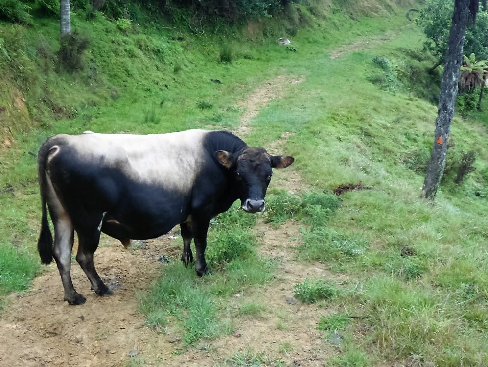
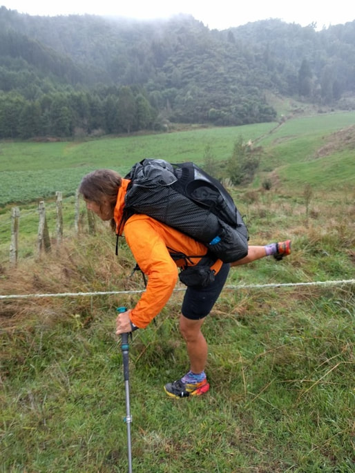
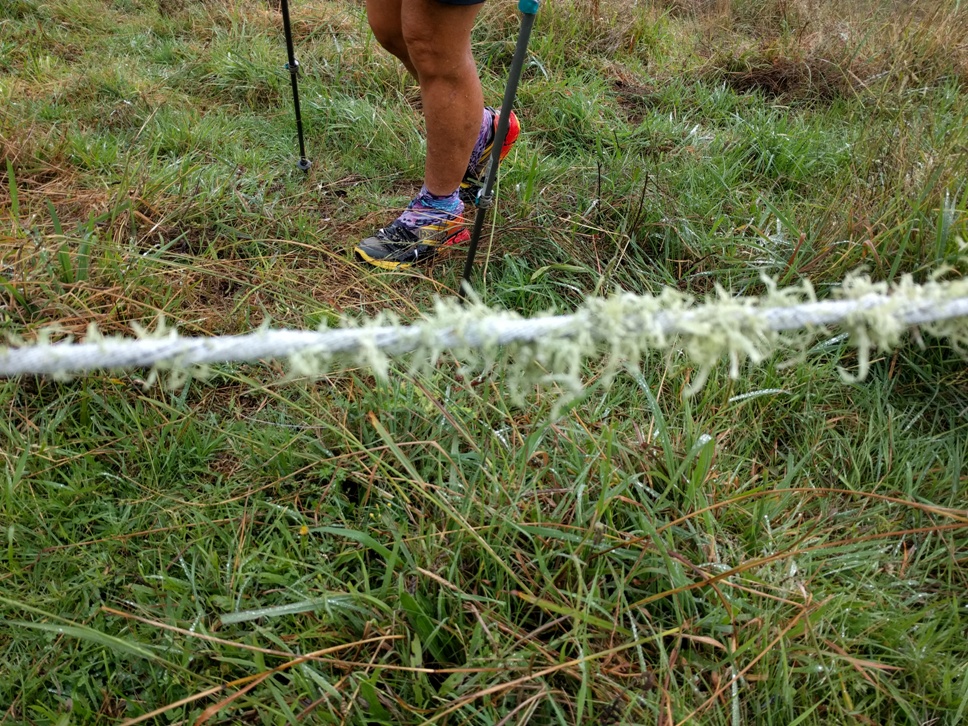
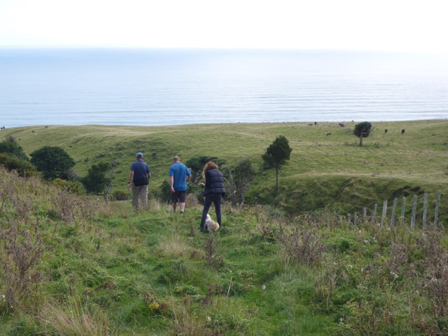
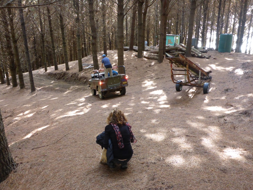
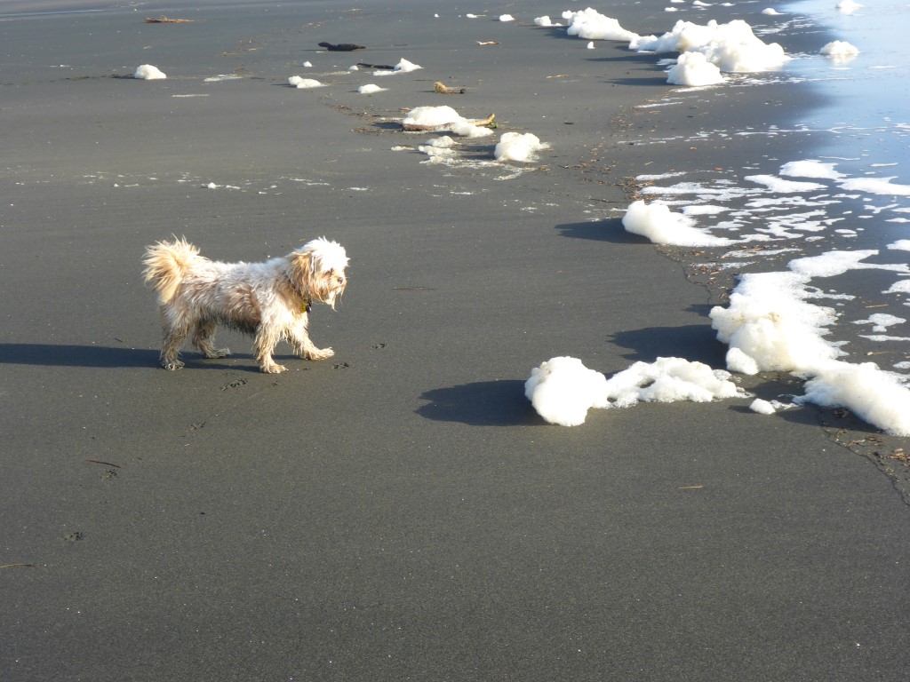
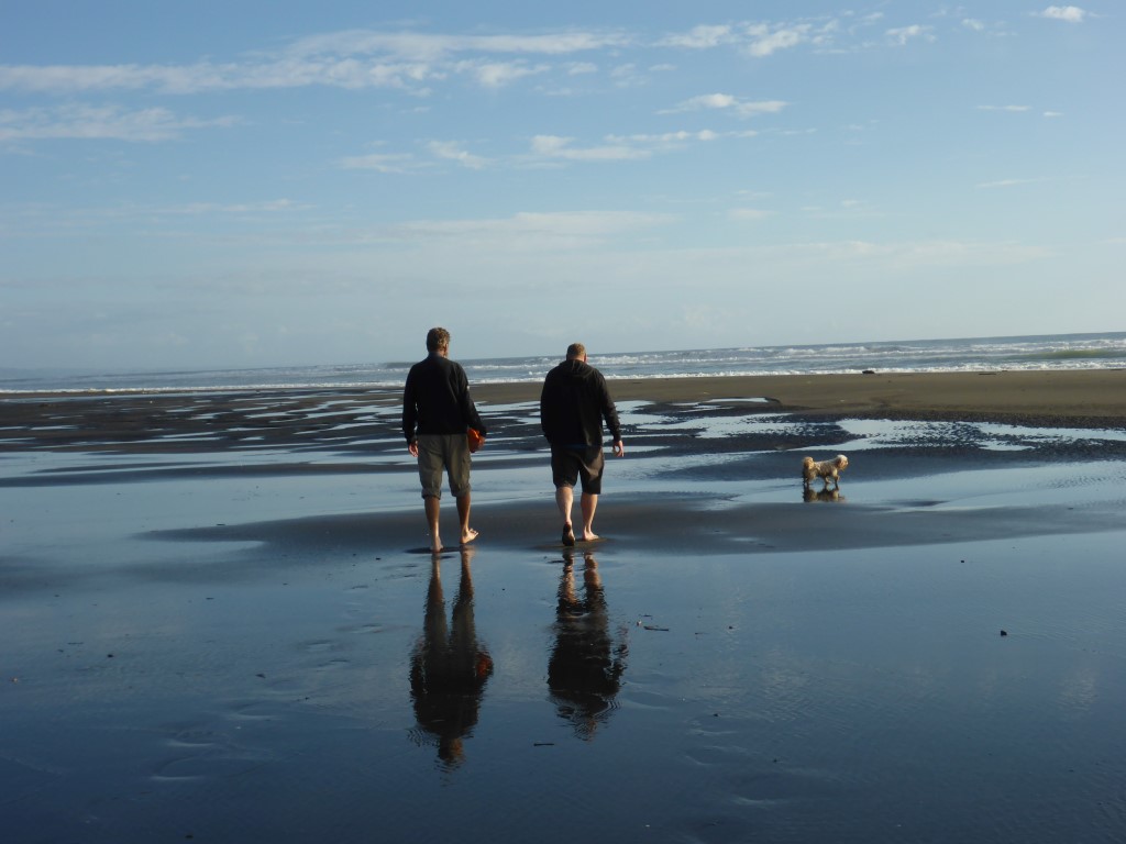
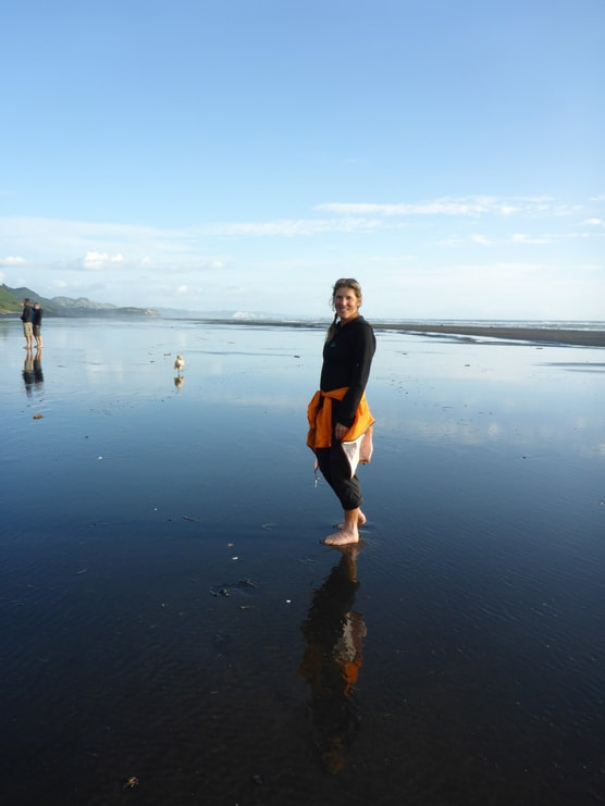
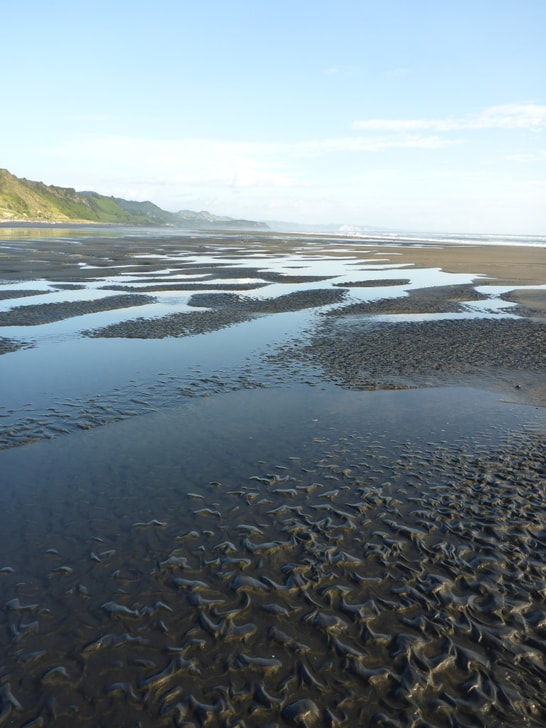
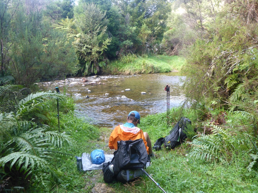
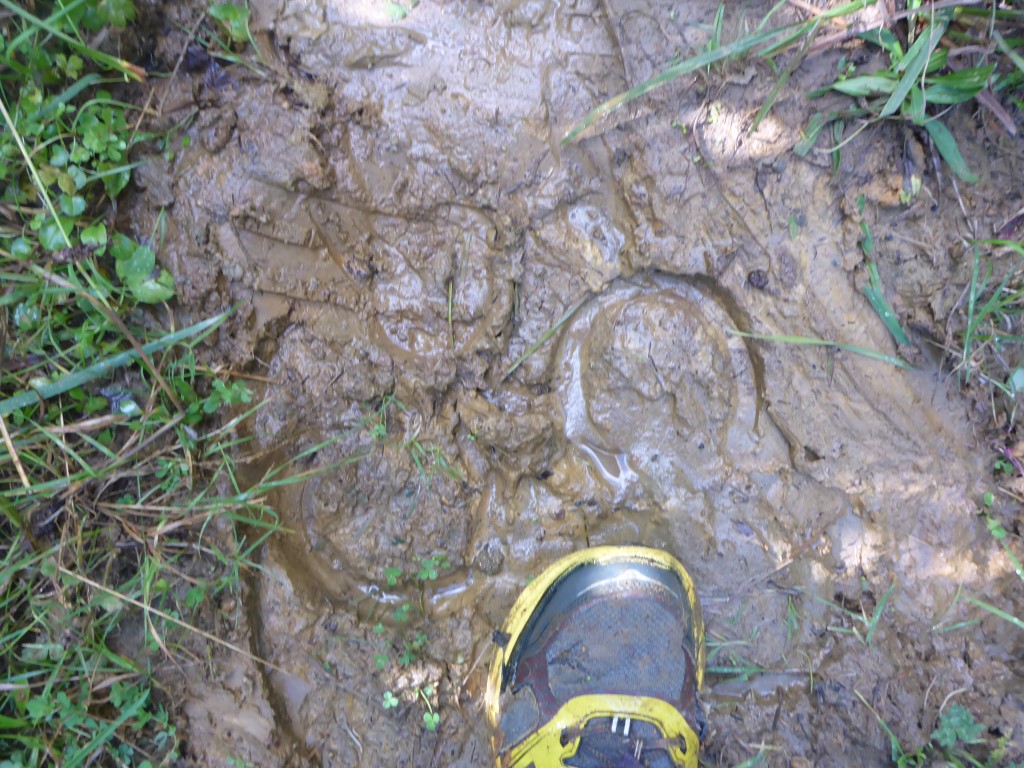
Yesterday was the end of our walk until spring time - as we had planned. We have things to do at home and are off to Melbourne to visit our son in 10 days or so. So this will probably be the last blog post until we start again from here in Taumarunui - maybe sometime in October. The bus was due to depart Taumarunui at 1430 so we had the morning to kill. The lady at the motel was happy for us to leave our packs with her after we checked out so that we could pick them up before heading to the bus. We decided to do a little river walk (as you do on your rest days!!) and headed along the Whanganui River to the confluence of it and the Ongarue River. On this little trip we also discovered how the locals exercise their dogs!! Then it was back into town for some early lunch and a look around the town. We also saw some evidence of why we were wearing orange through the bush the last few days - see photos below!! Then it was onto the InterCity bus for a 1430 departure - changing buses at Bulls to get back hone to Paraparaumu. The trip took us down through the Paraparas to Whanganui then across to Bulls via Marton, stopping at all the main towns on the way!! Hadn't been that route for a long while. One certainly noticed the erosion on the papa country as we wound our way down the Whanganui - the road is still washed out and down to one lane in a number of places. I assume this is primarily a result of the massive rain events in June last year. I hate to think what the overall cost of recovery from those floods in the wider region must be - huge!!
Arrived home safely later in the evening. While we have hugely enjoyed the walking, it's also nice to be home for a while. Now it will be a matter of maintaining fitness and watching weight until we start again. New trousers will be the order of the day for me as, having lost 12kg over the last couple of months walking, pretty much all my trousers are too large and belts are struggling to fit!! Not a bad thing that both of us have dropped some weight - we'll see how it goes over winter! See you back in spring.
1 Comment
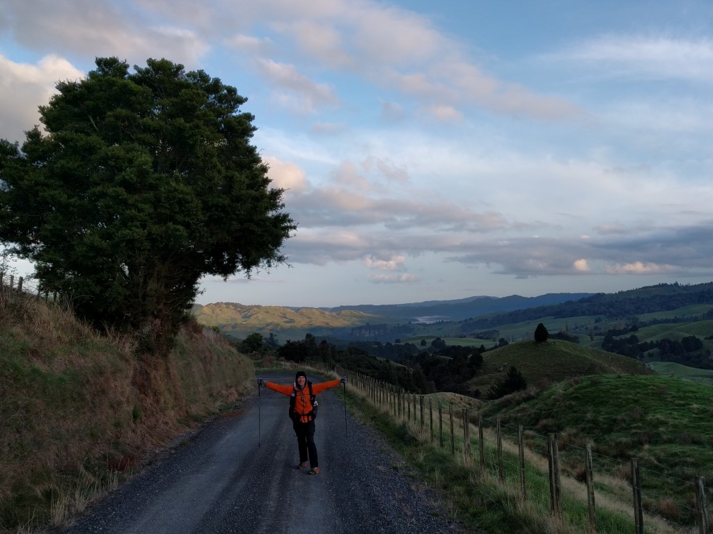
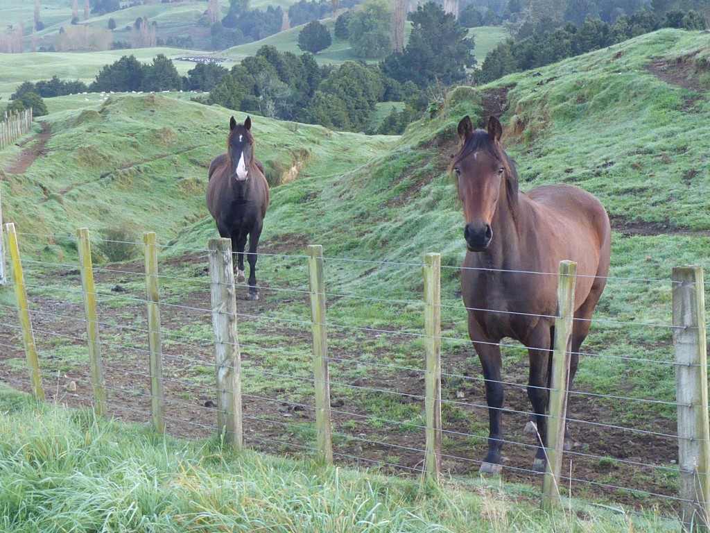
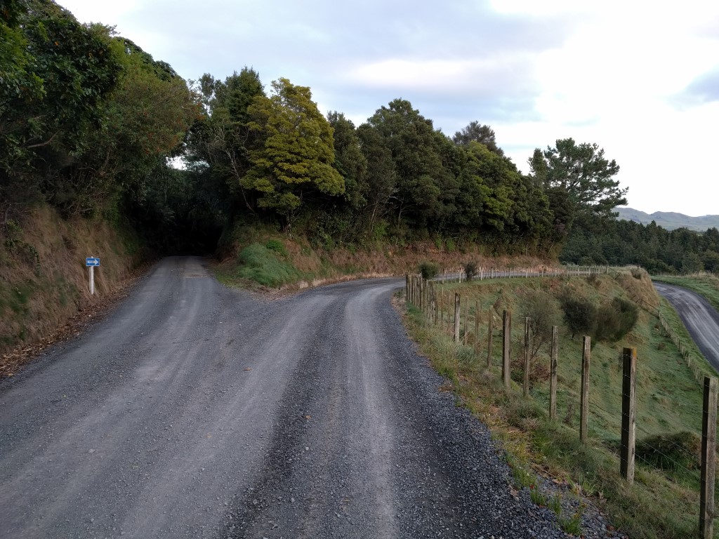
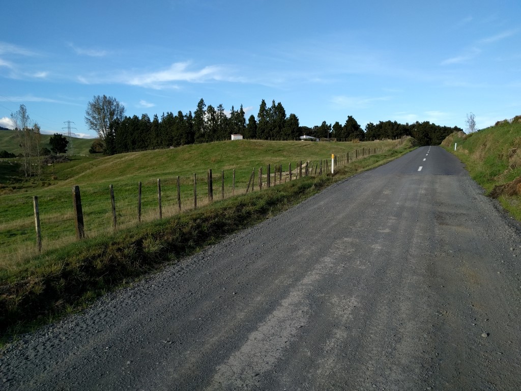
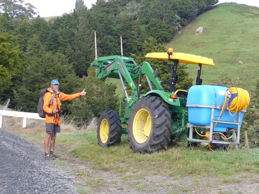
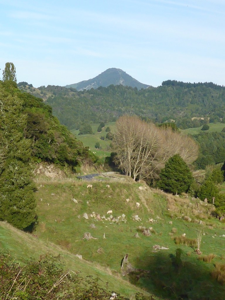
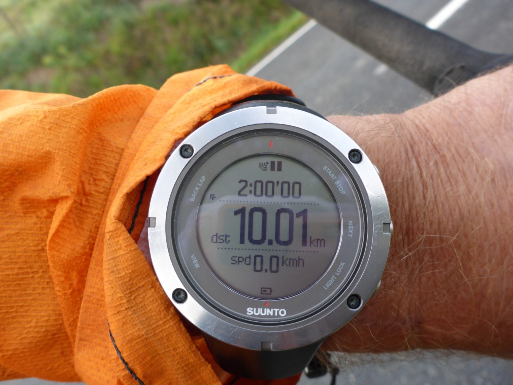
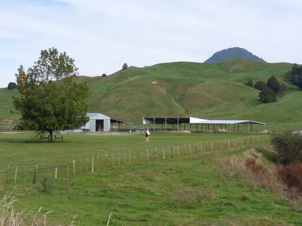
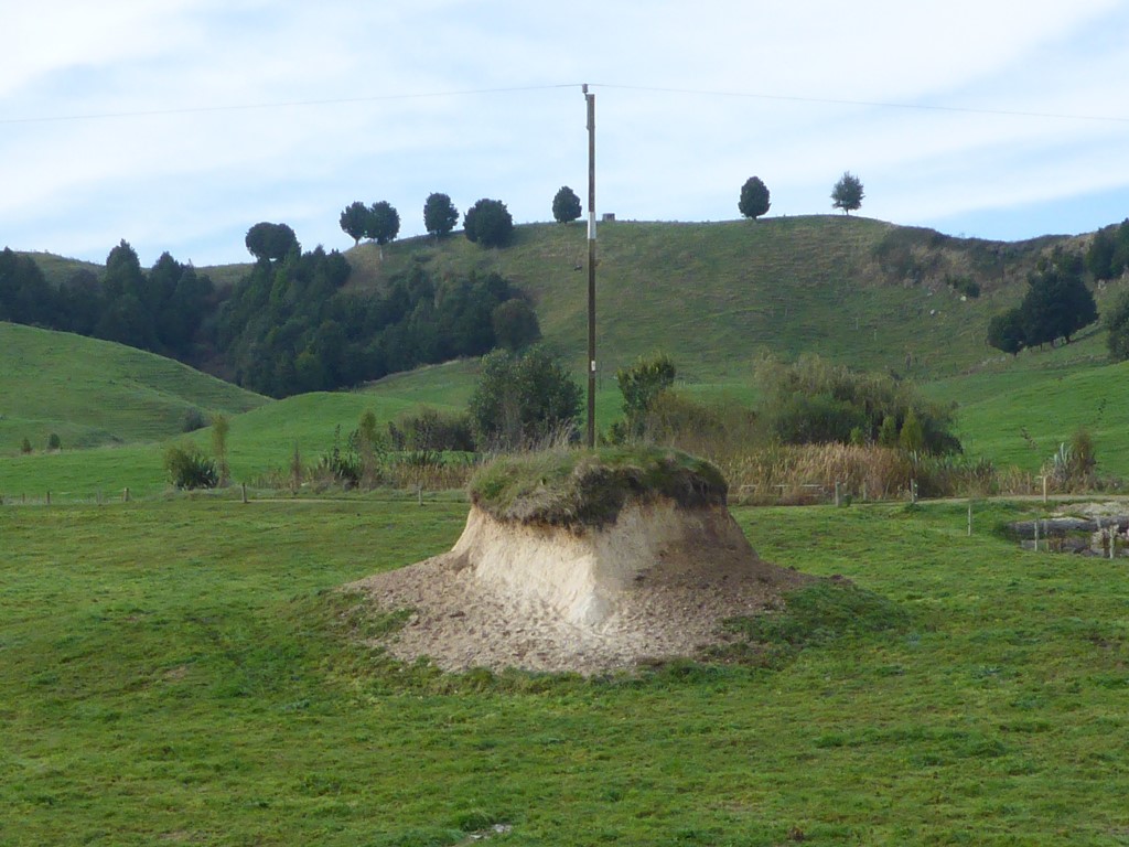
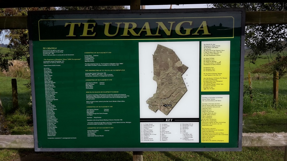
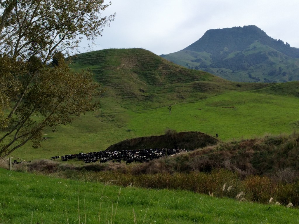
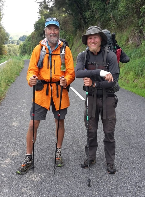
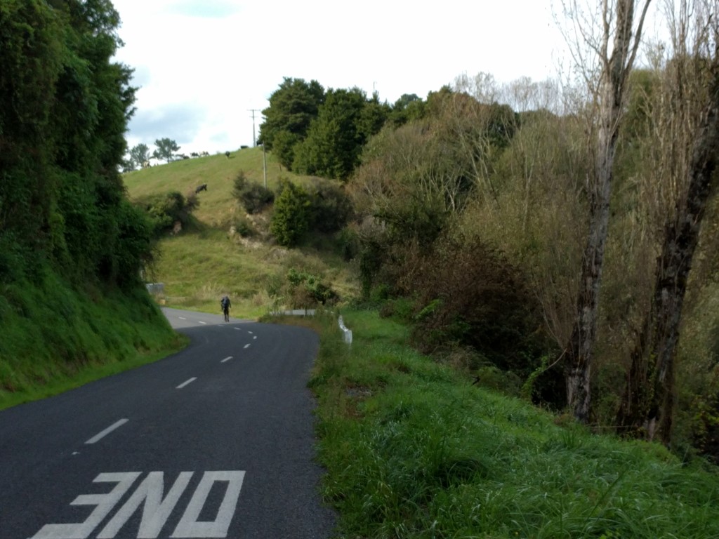
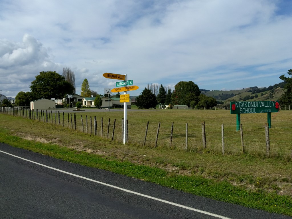
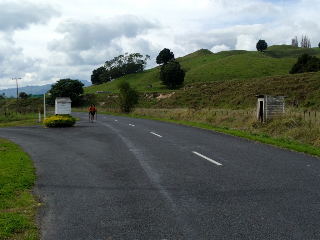
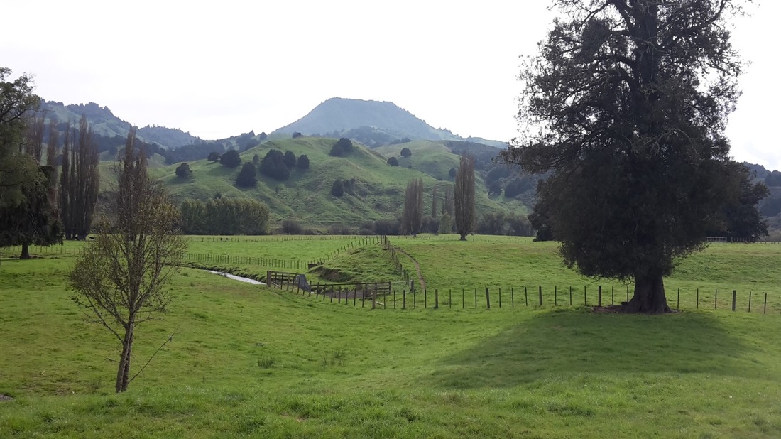
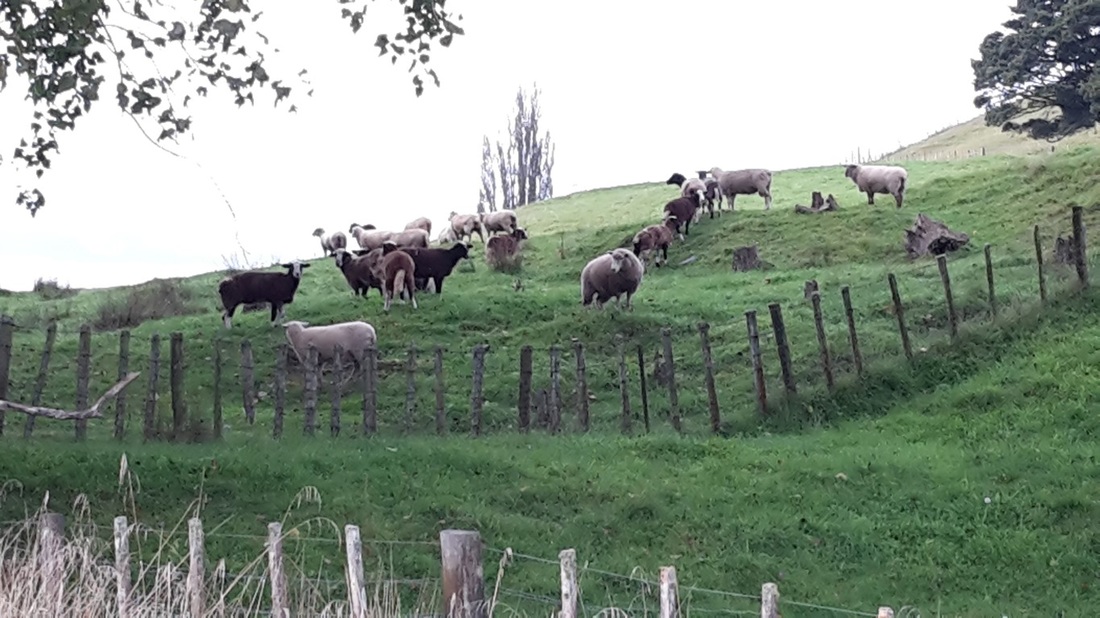
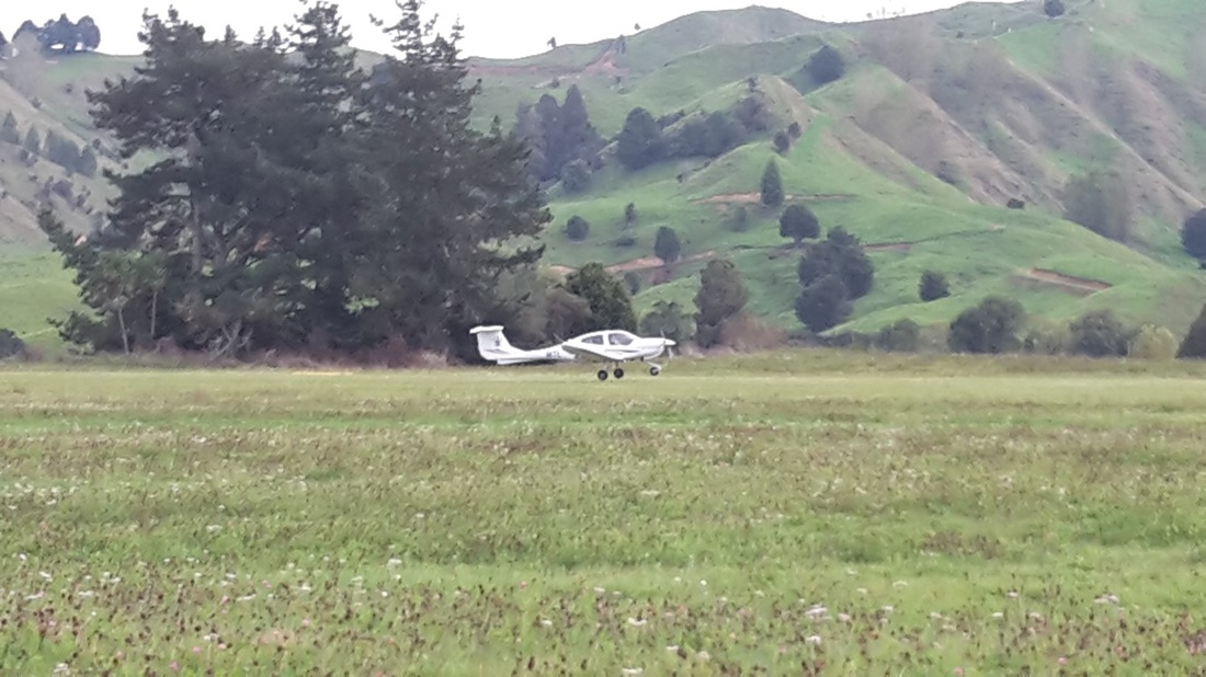
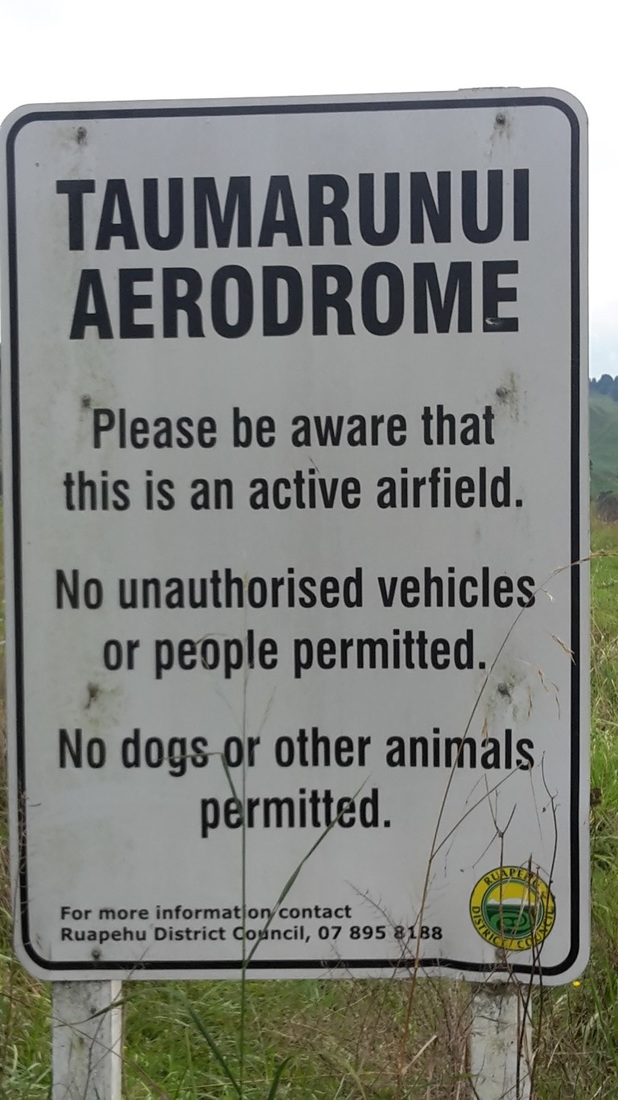
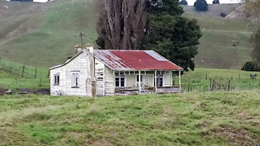
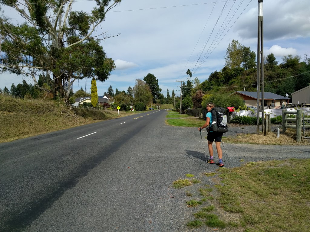
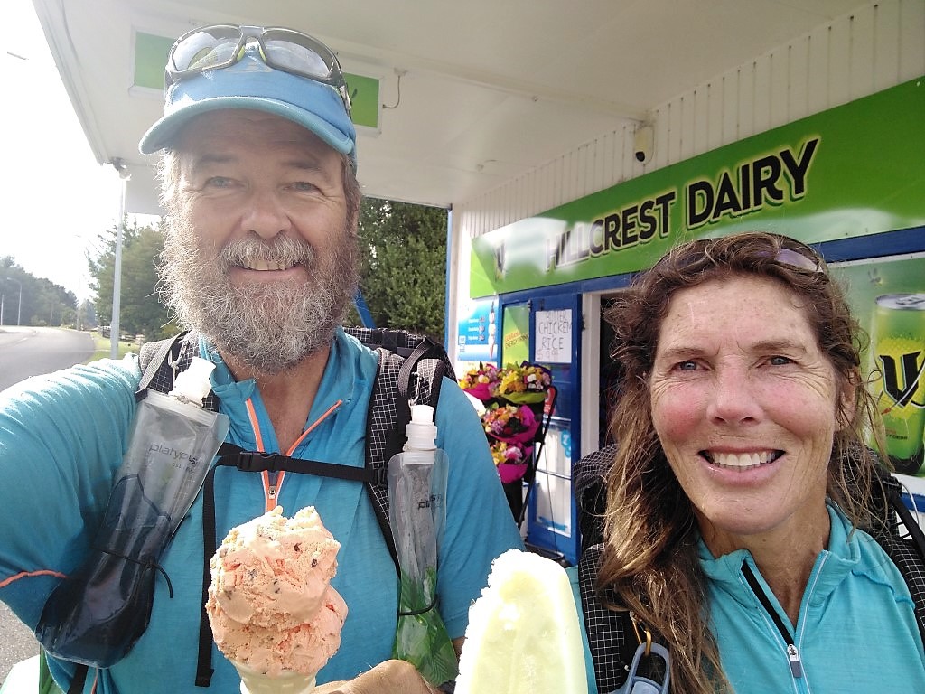
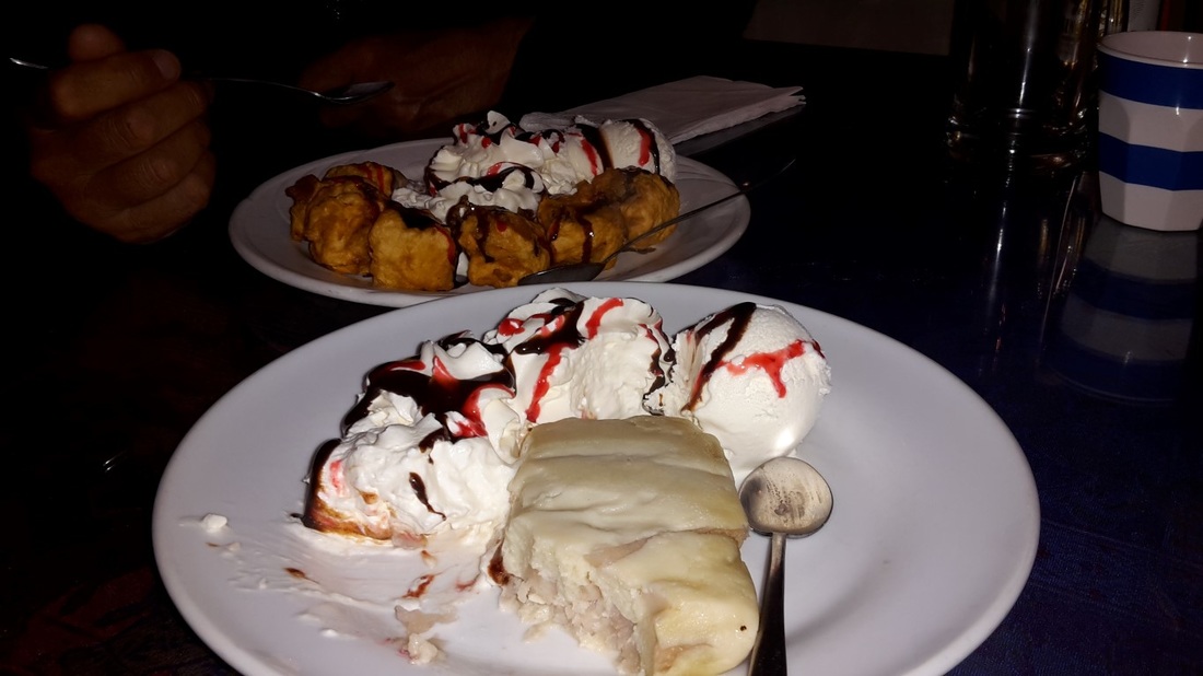
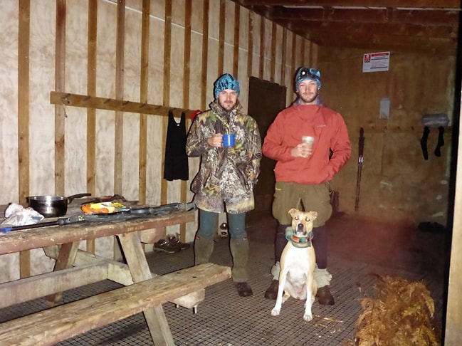
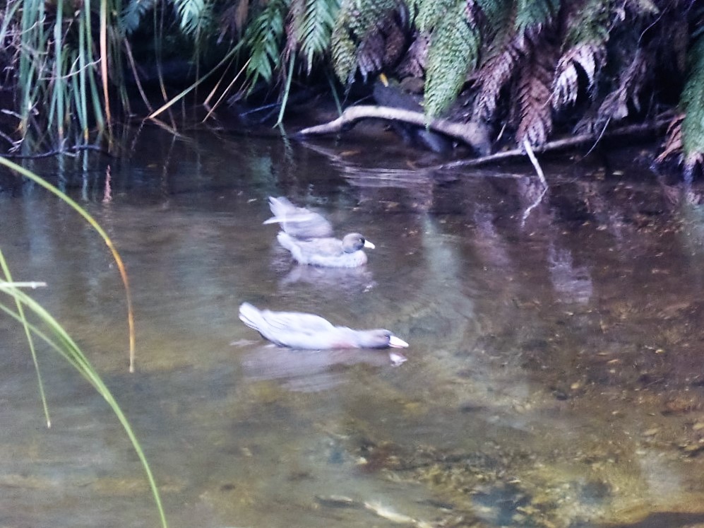
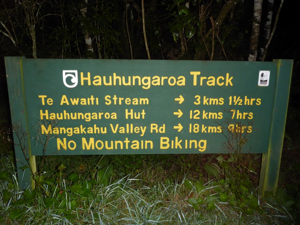
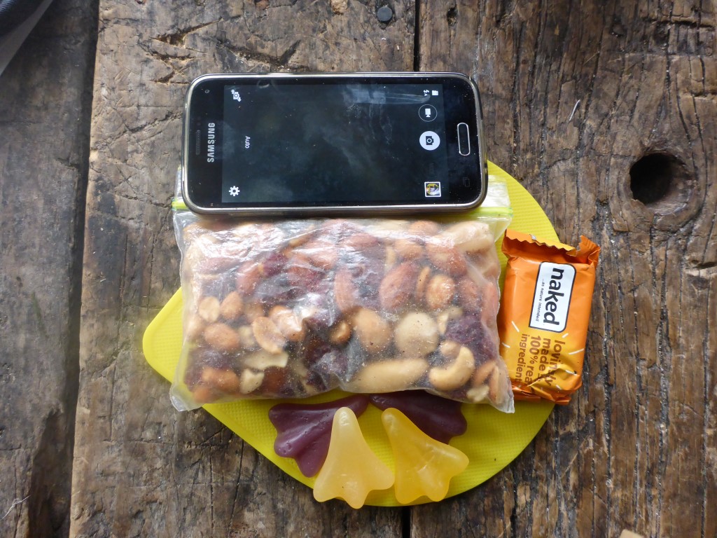
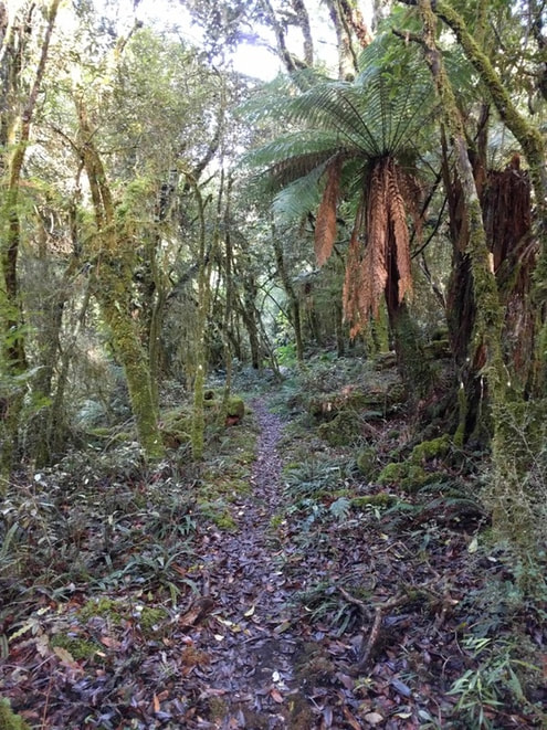
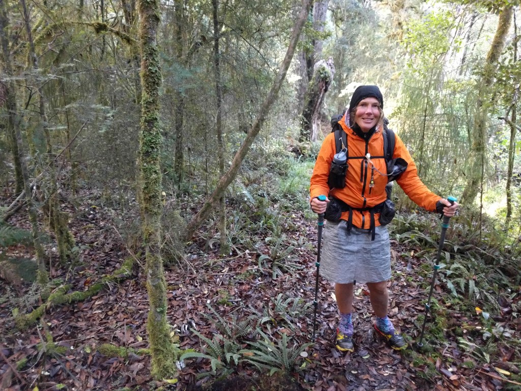
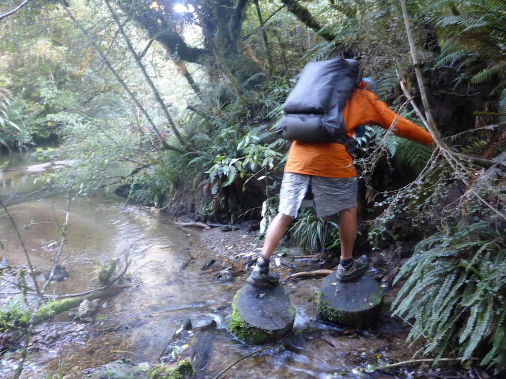
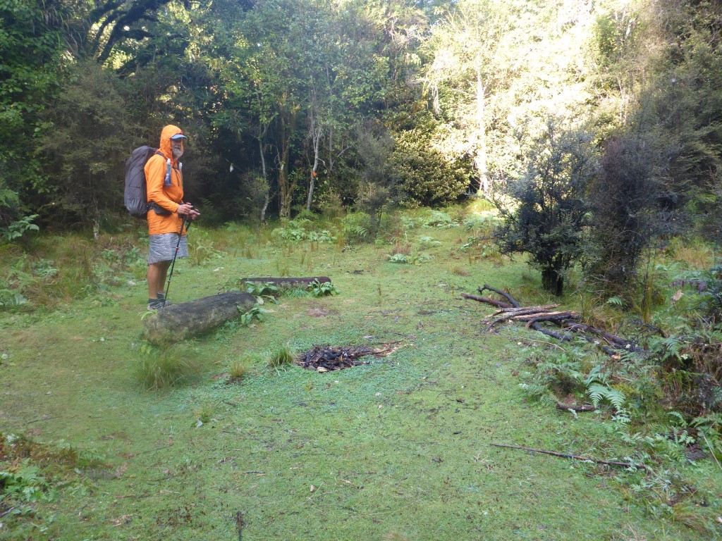
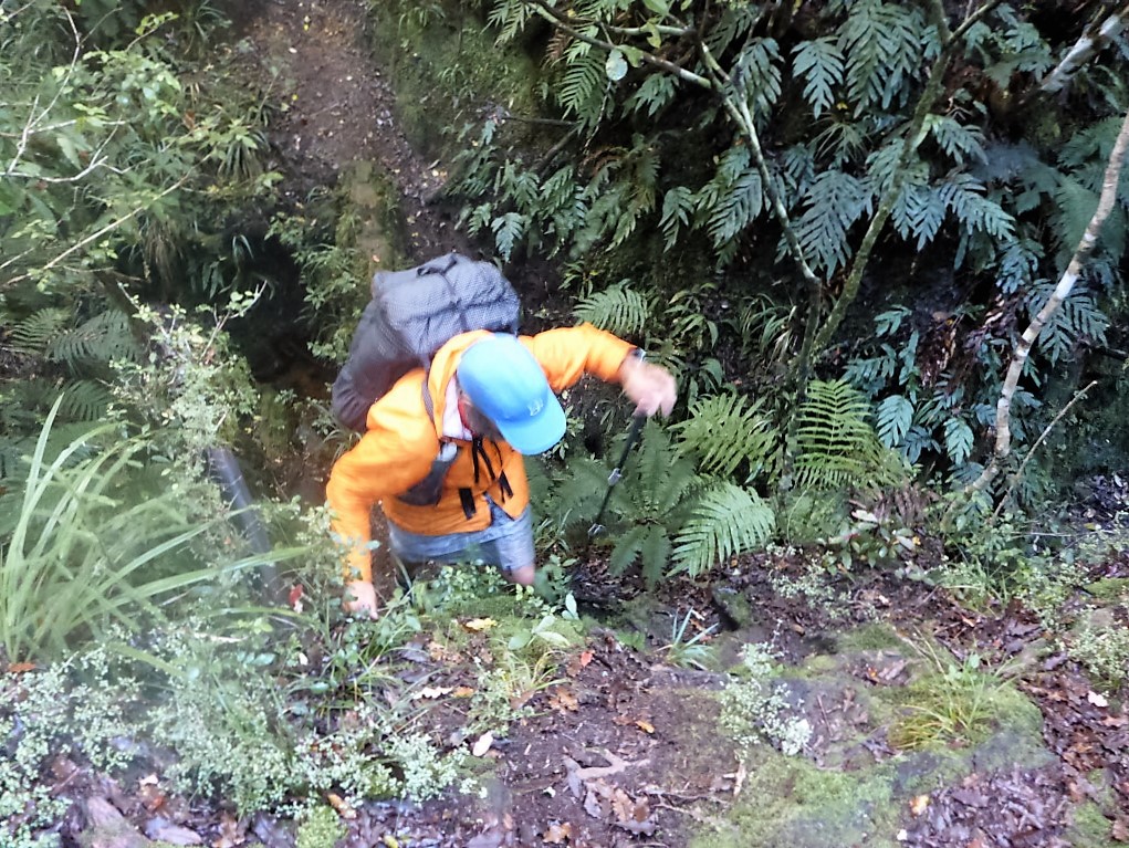
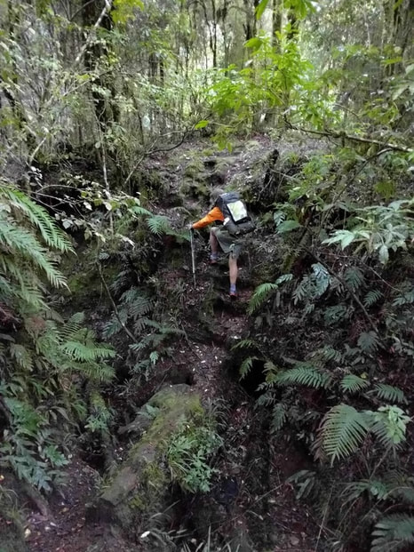
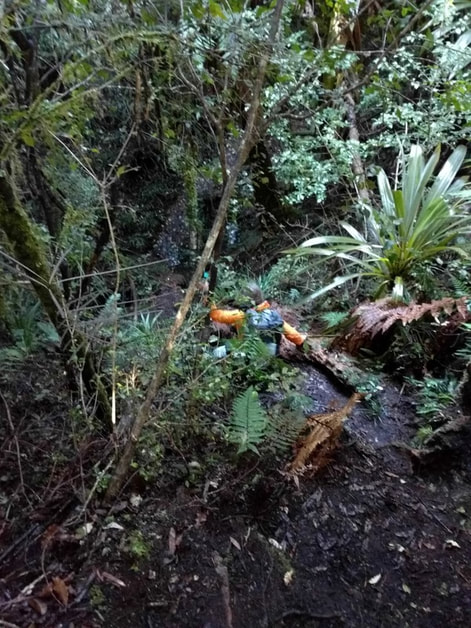
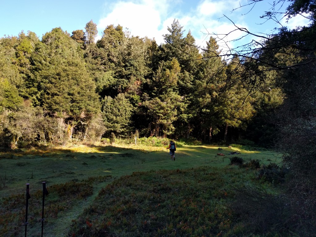
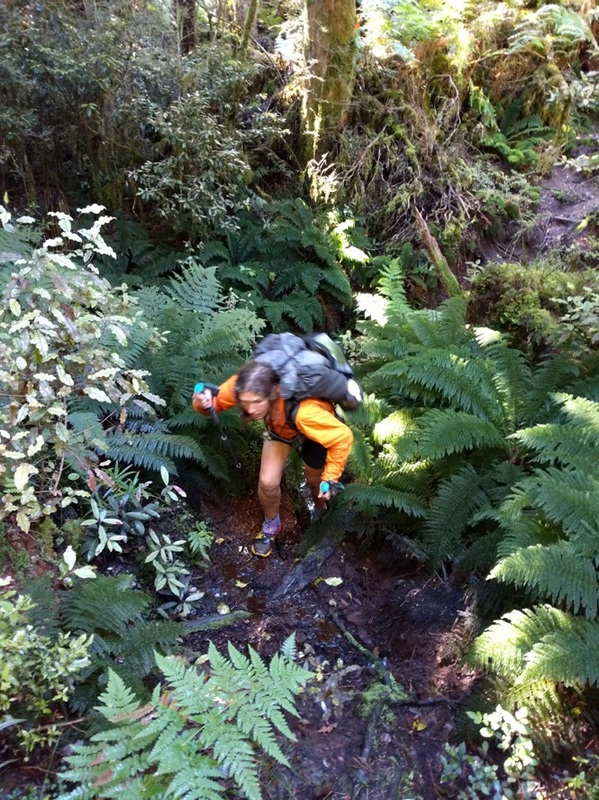
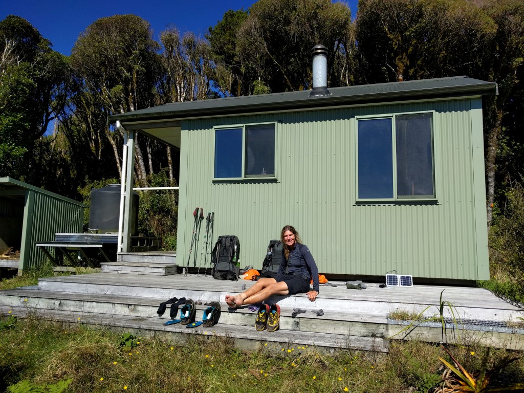
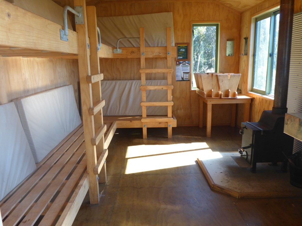
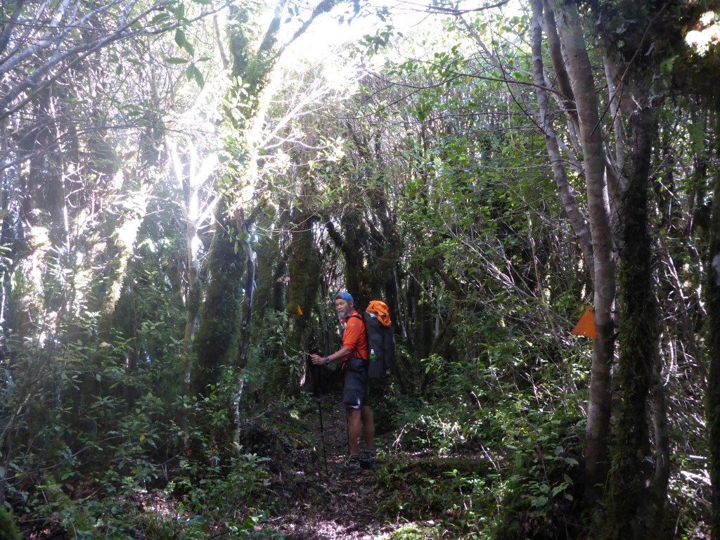
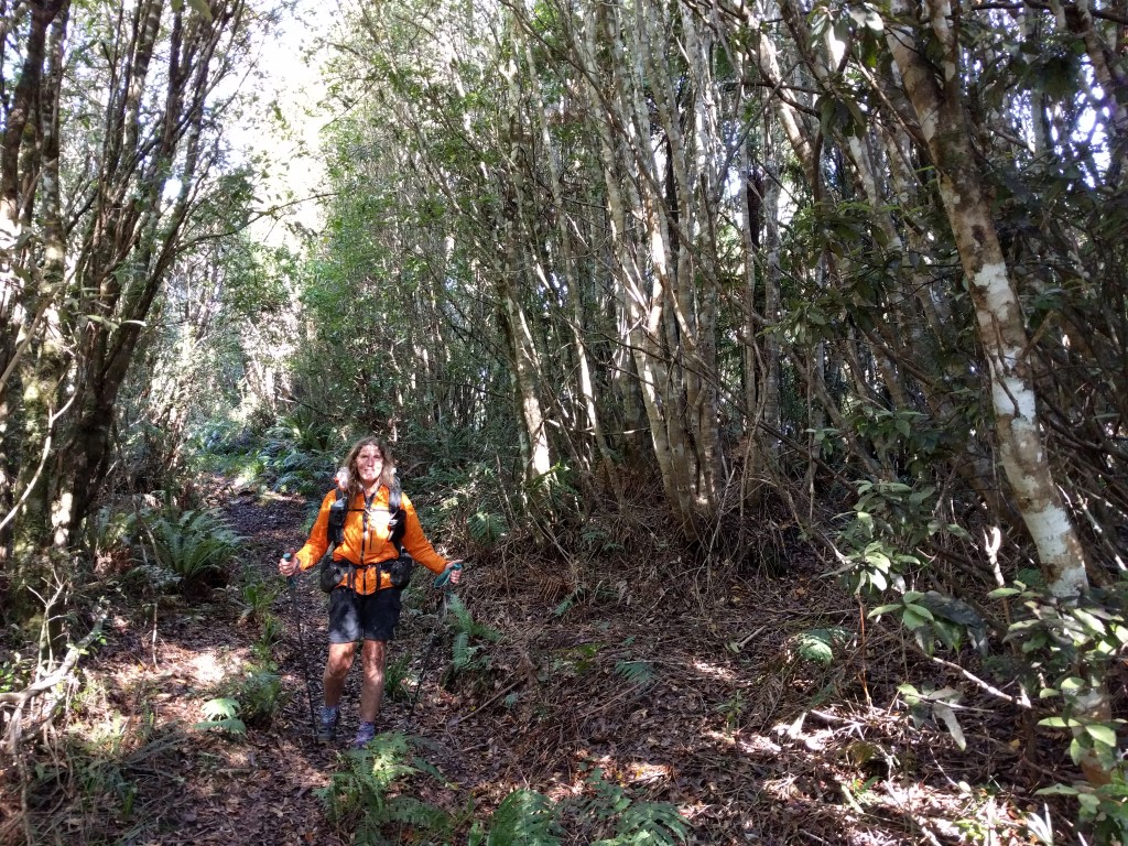
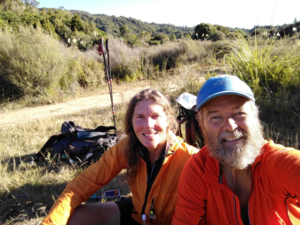
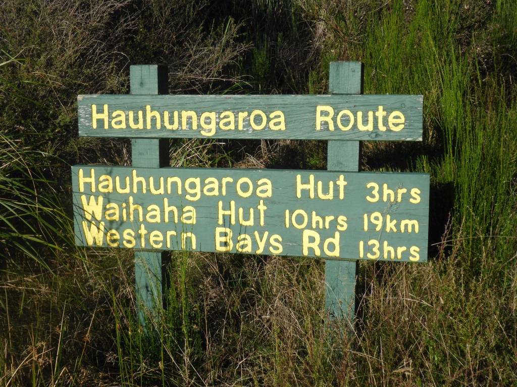
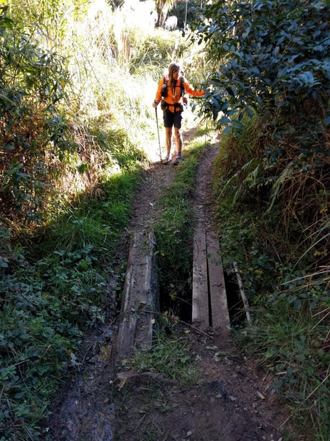
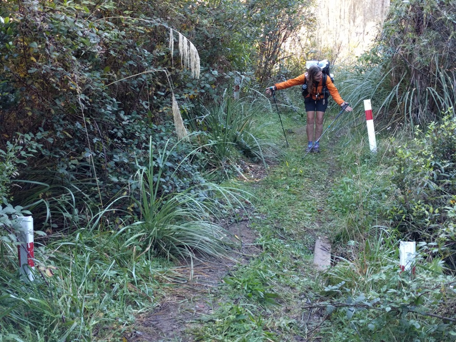
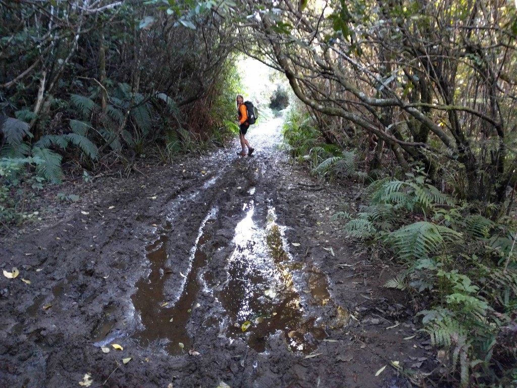
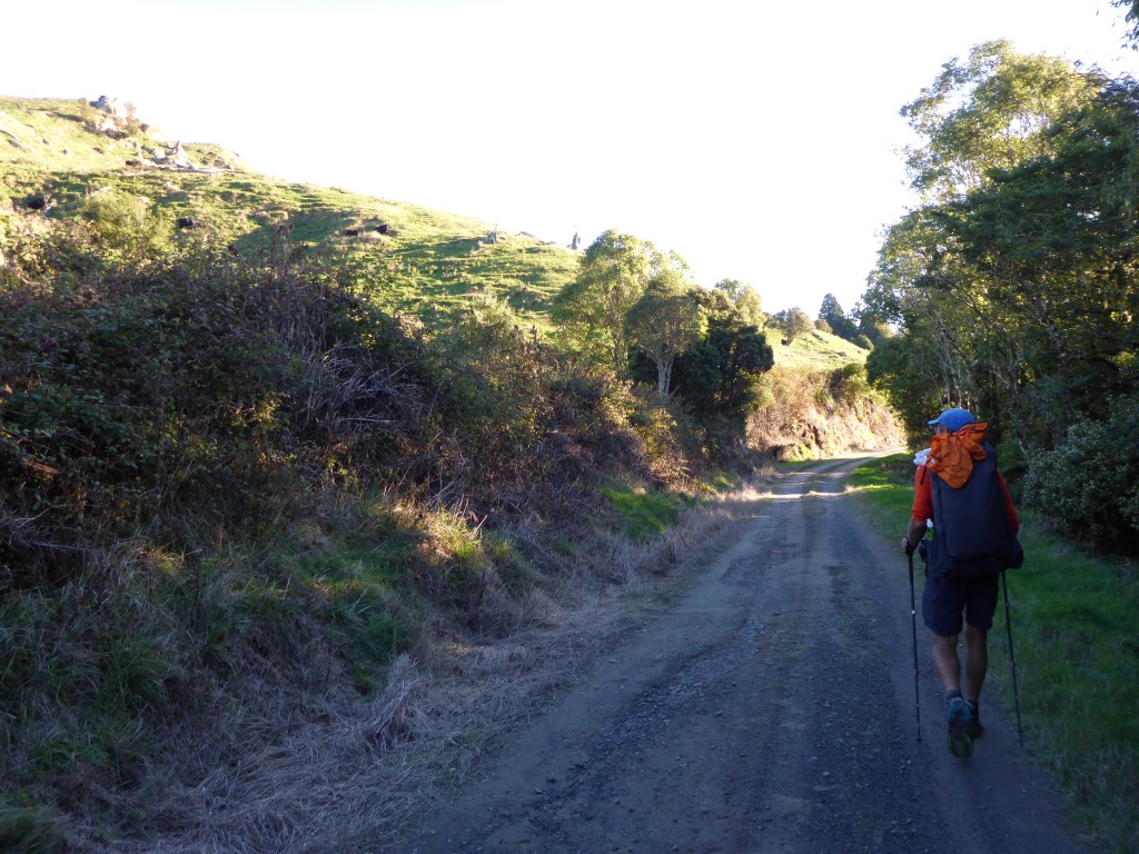
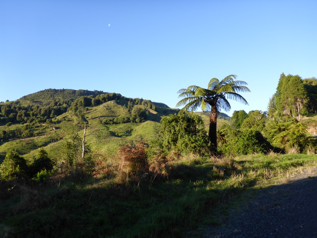
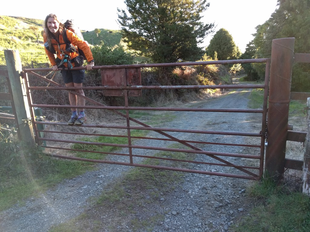
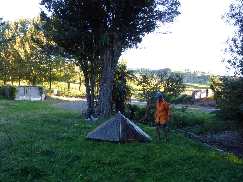
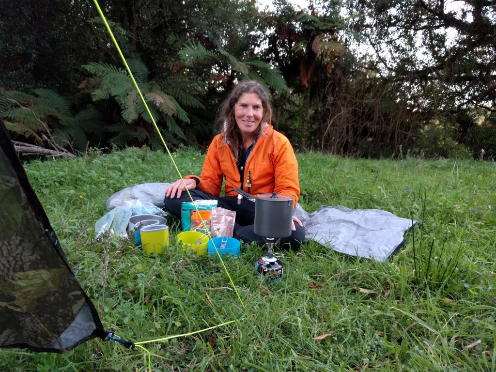
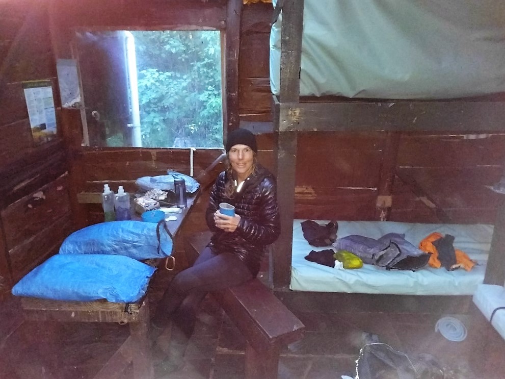
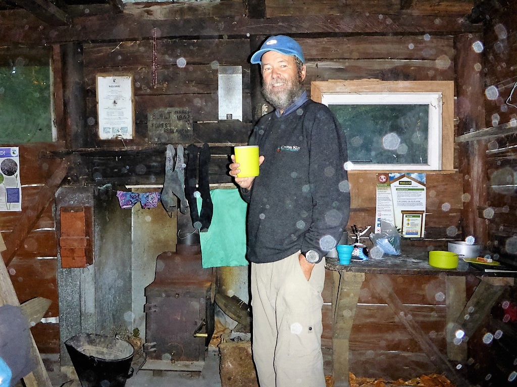
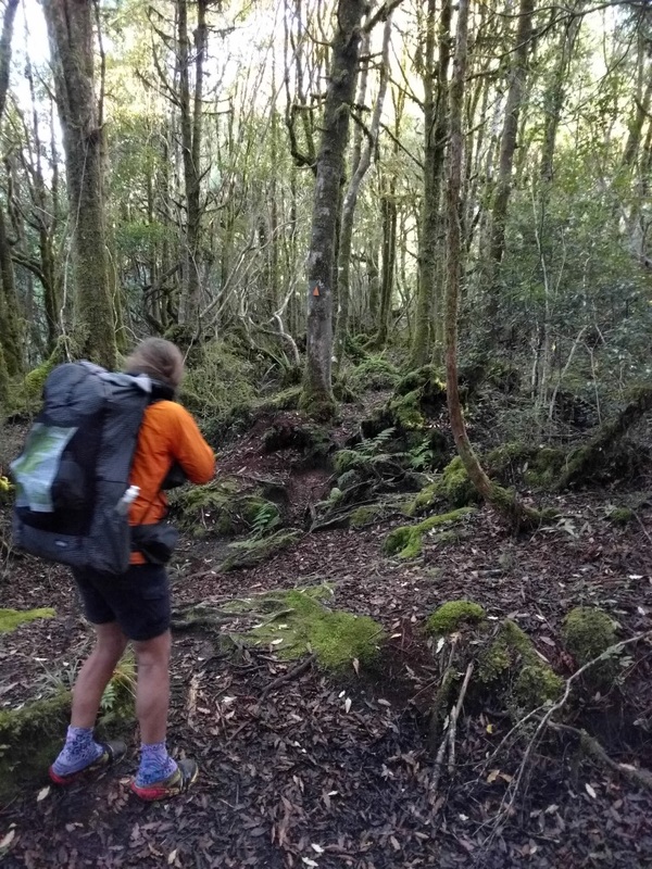
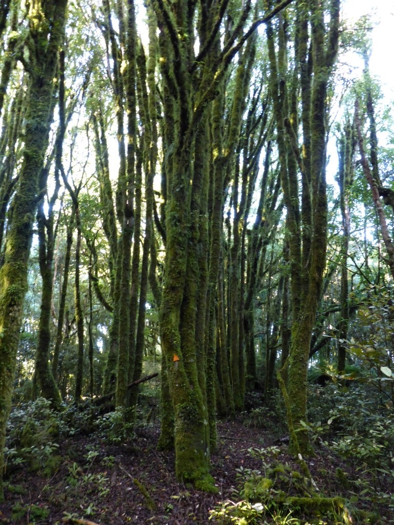
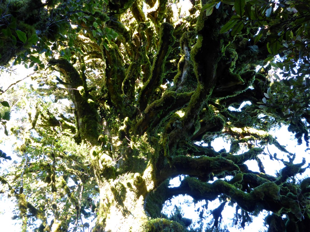
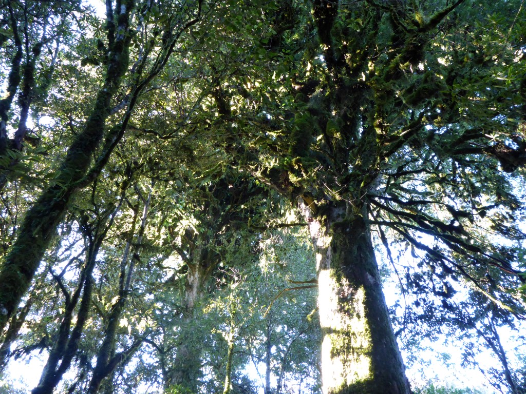
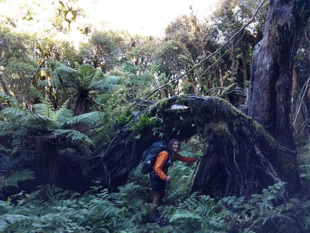
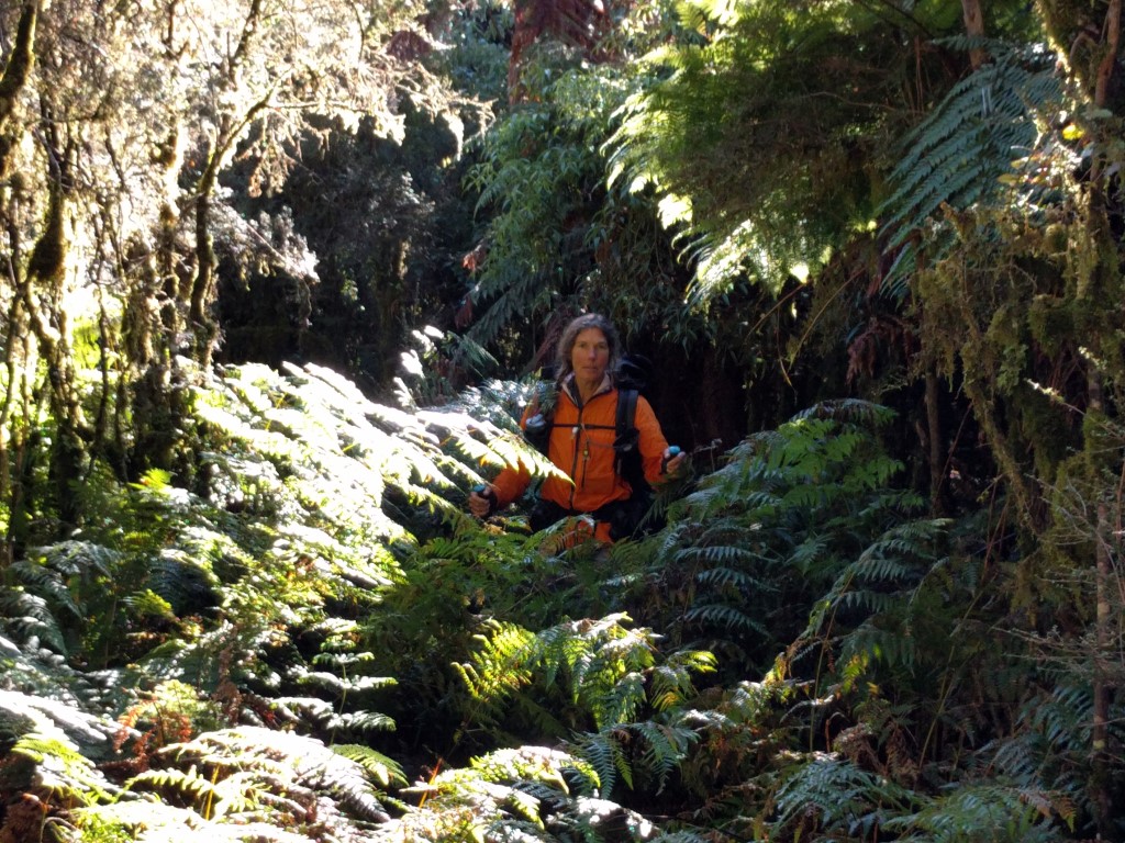
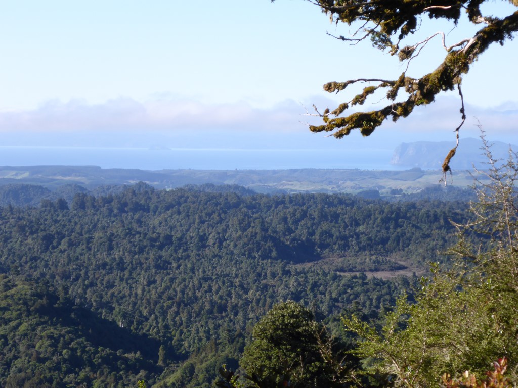
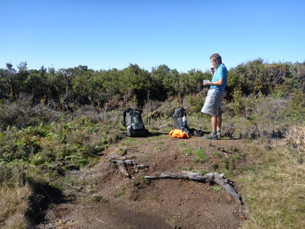
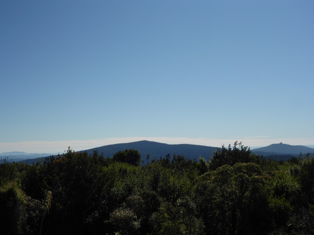
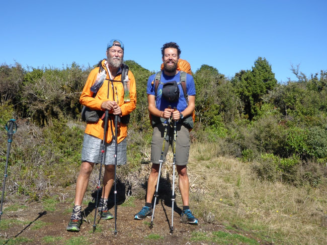
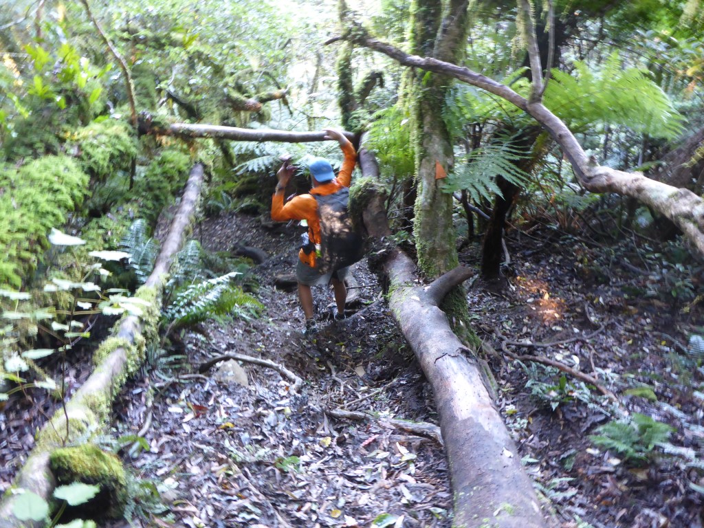
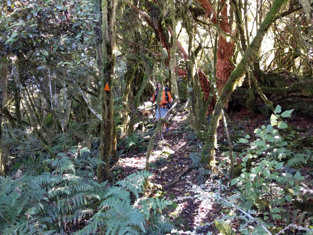
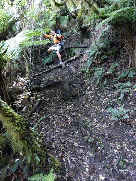
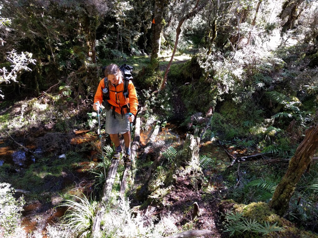
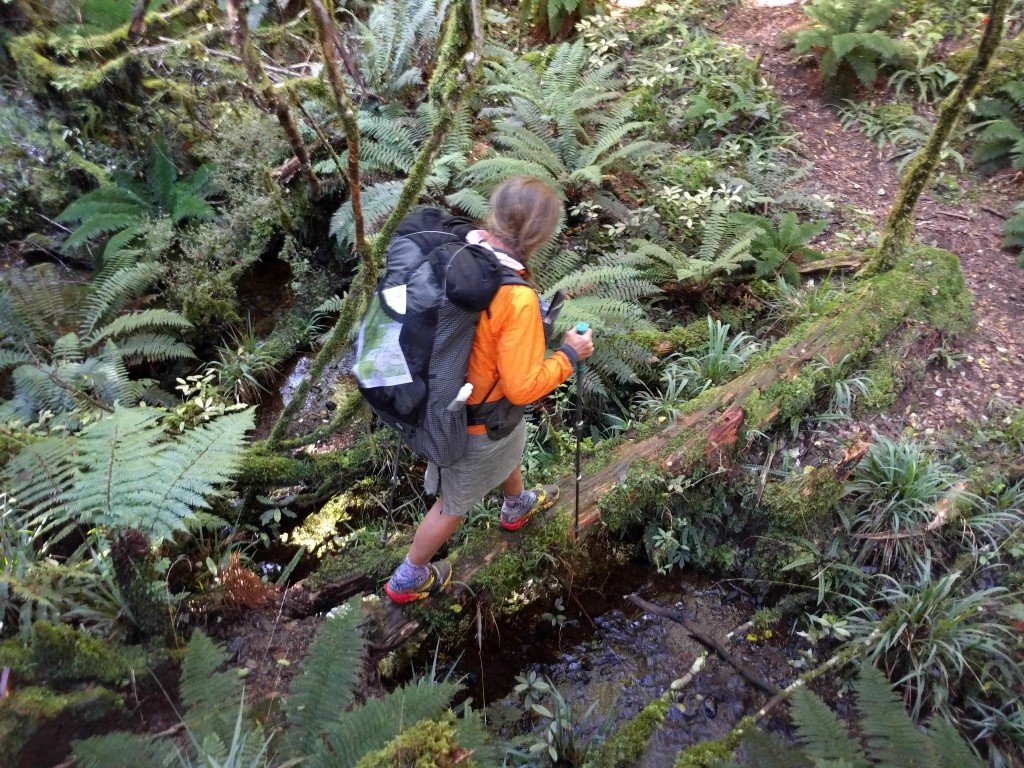
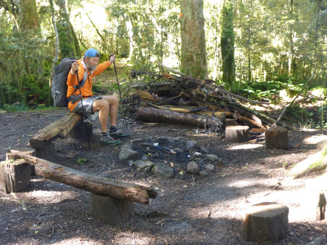
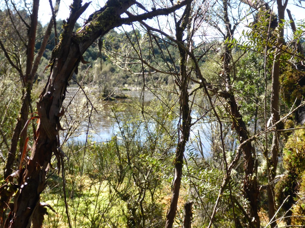
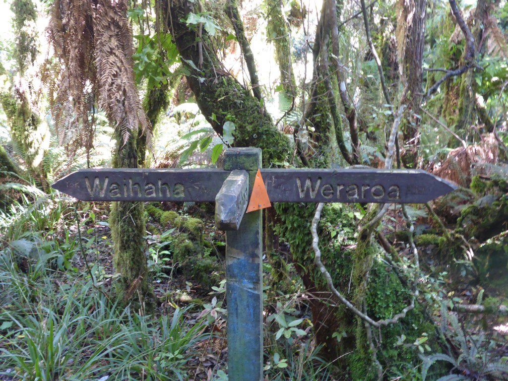
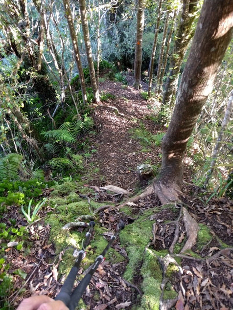
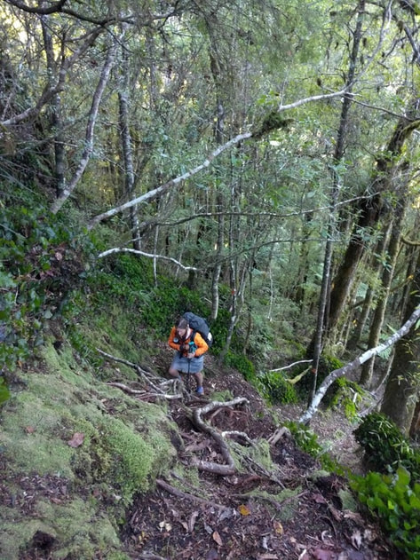
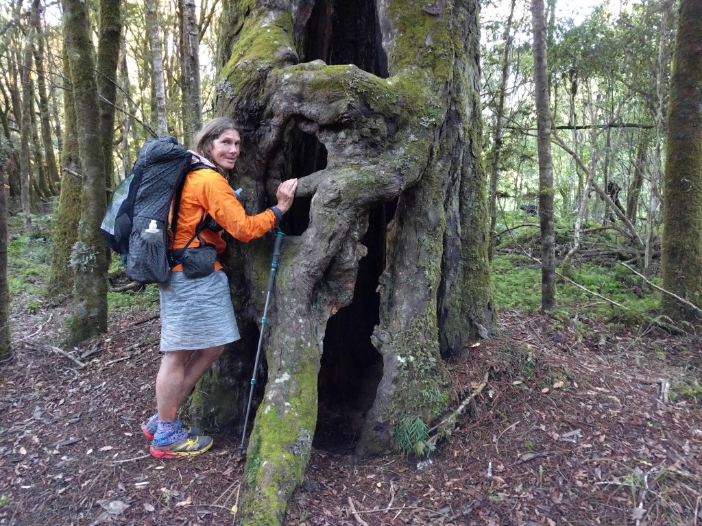
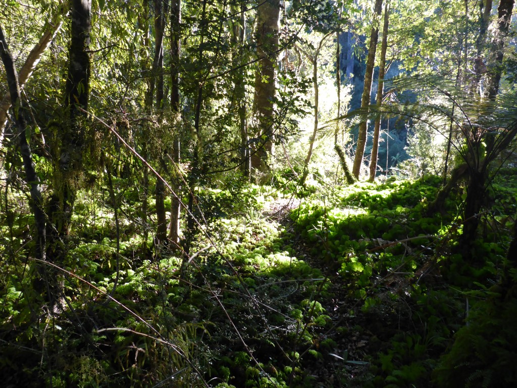
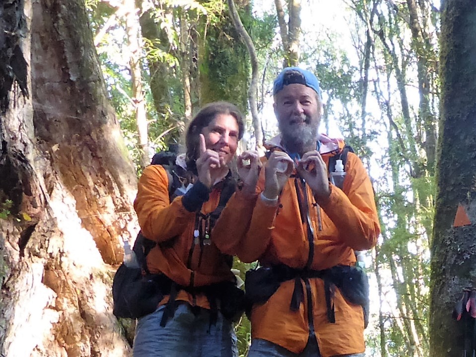
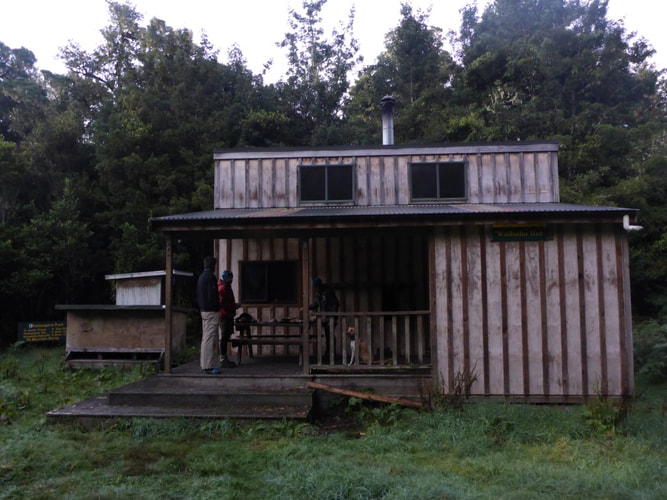
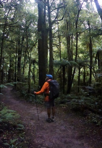
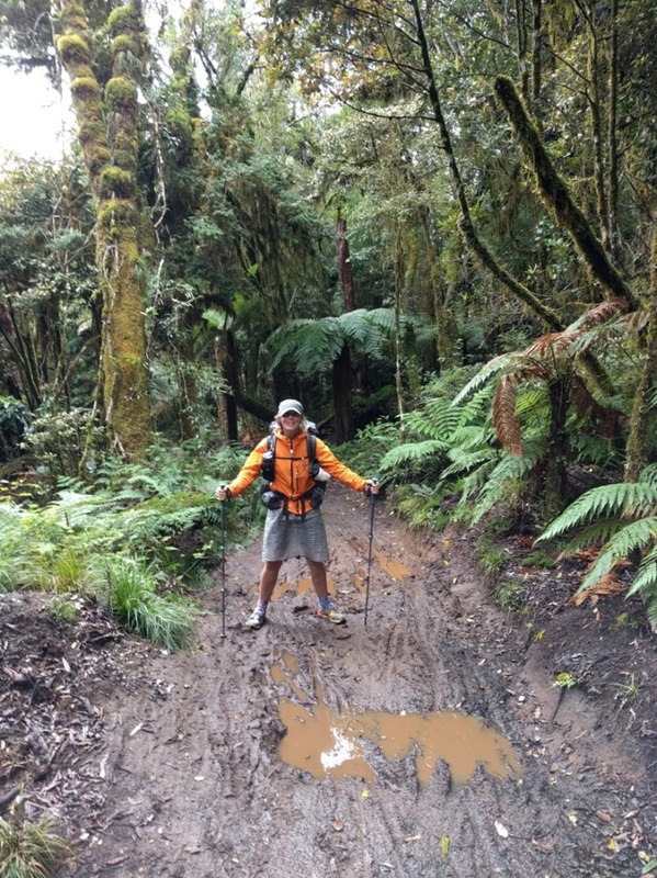
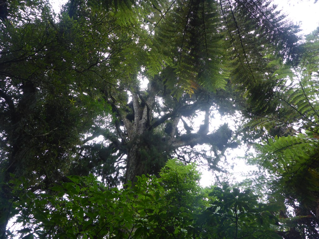
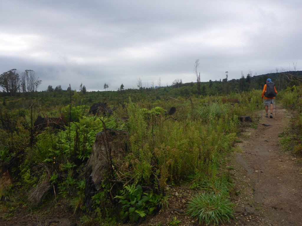
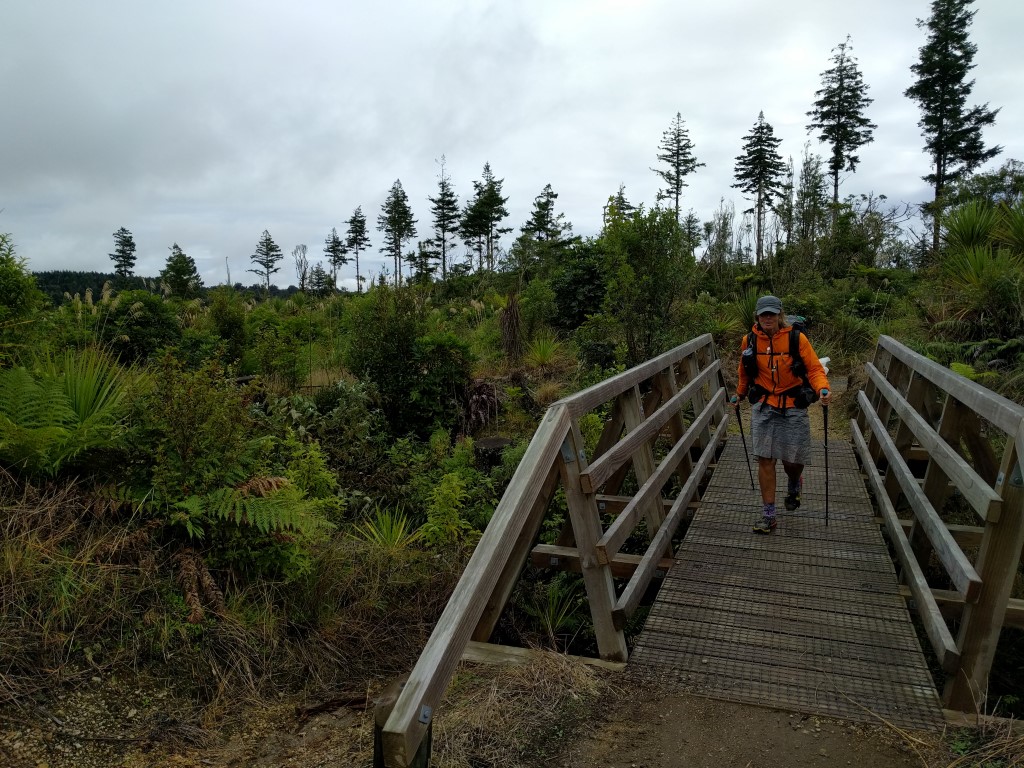
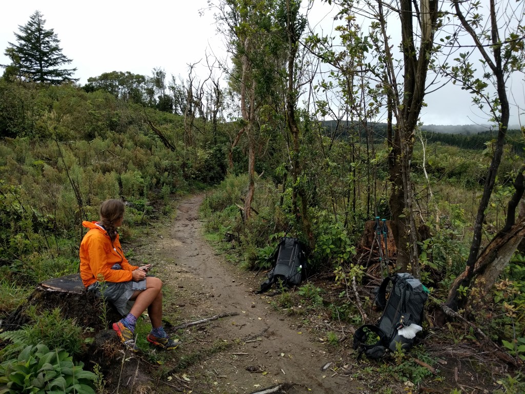
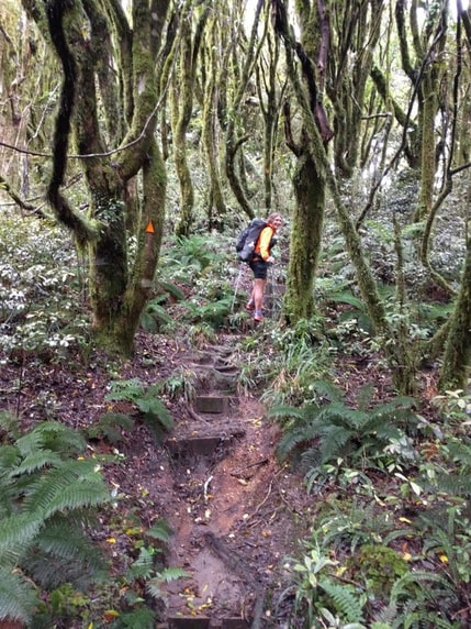
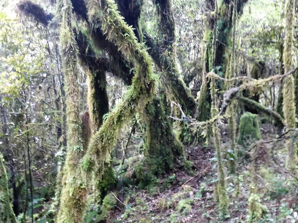
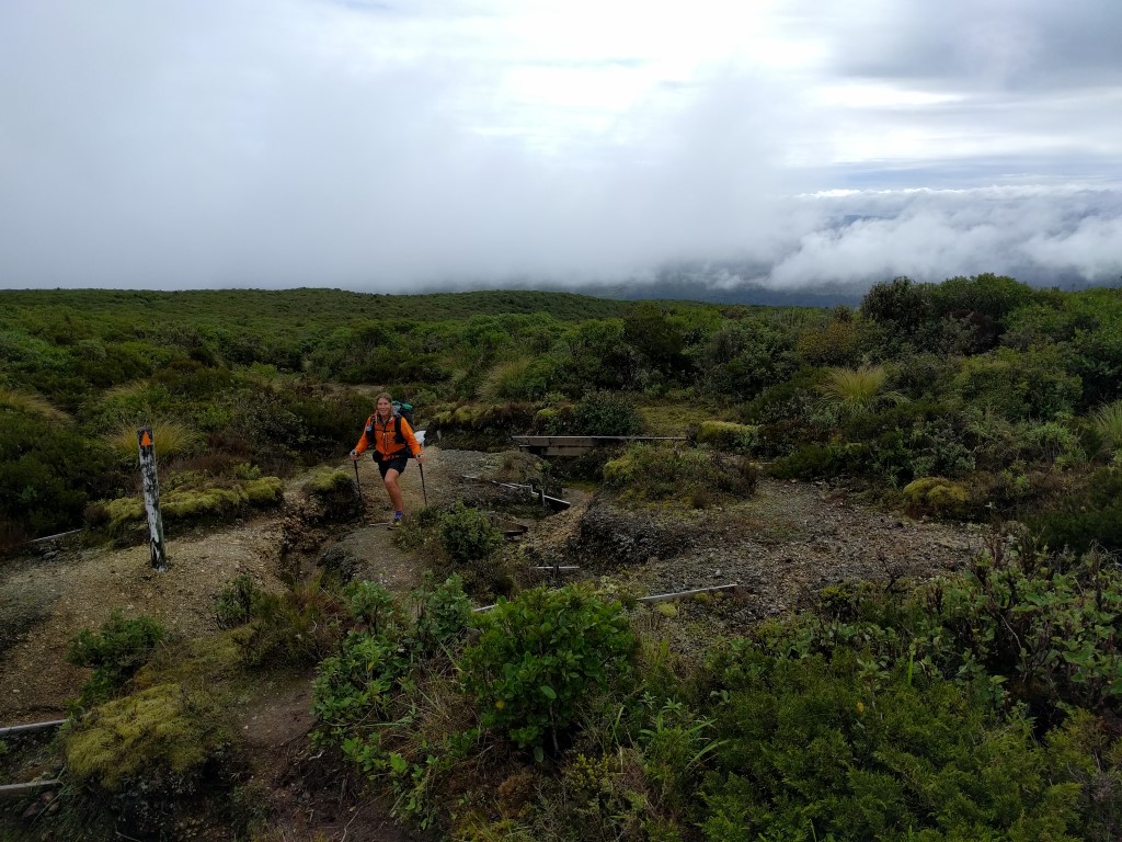
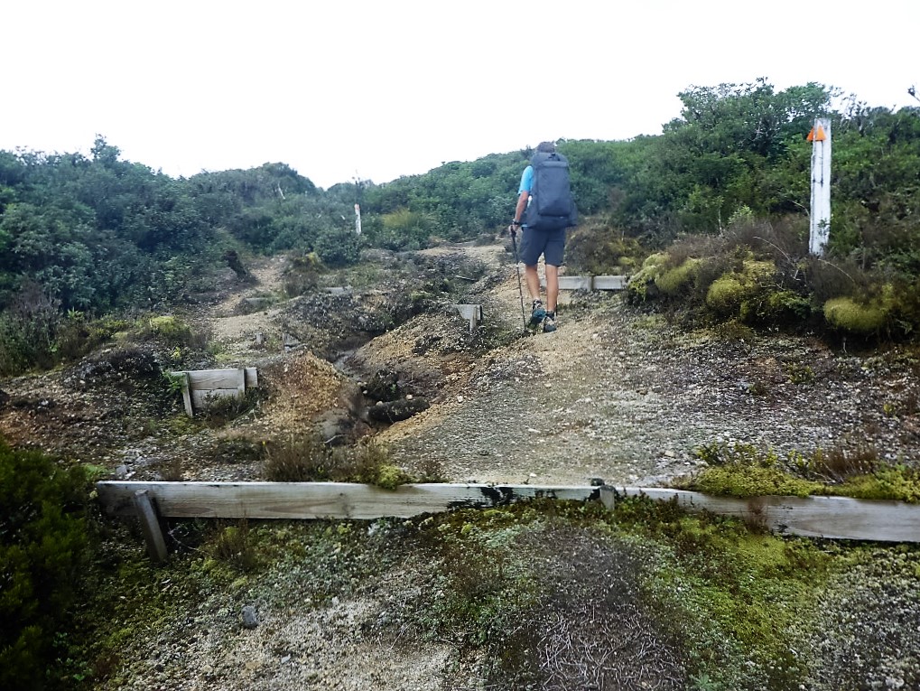
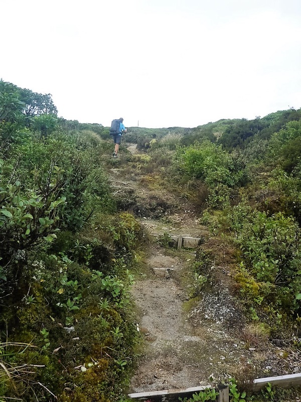
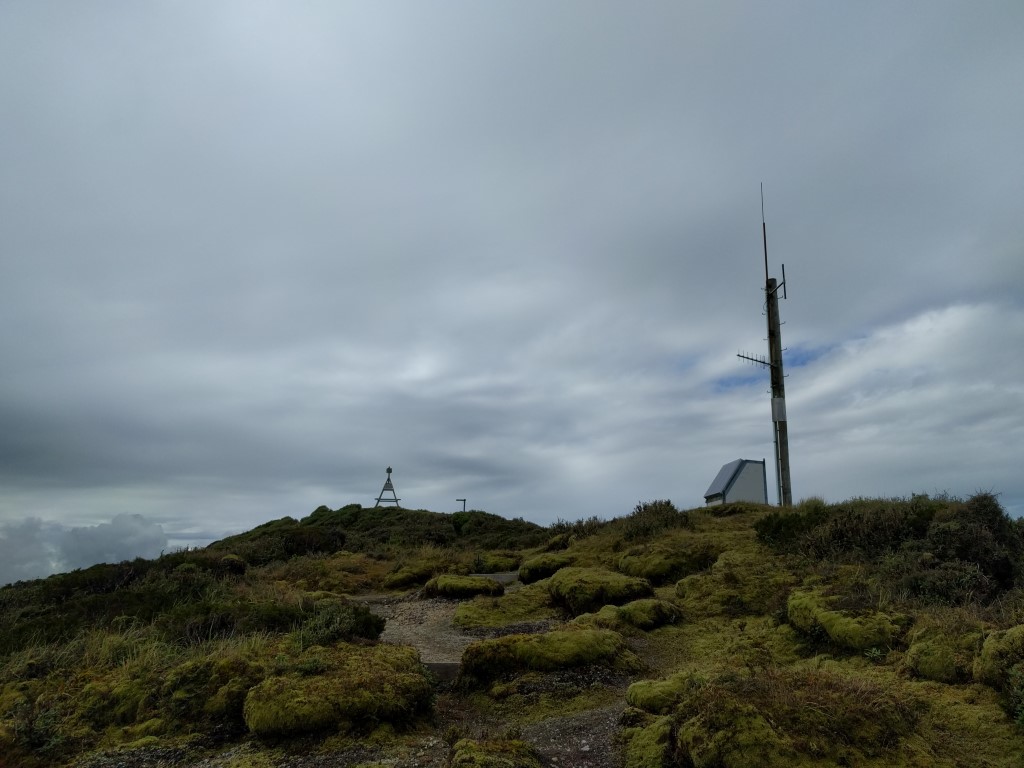
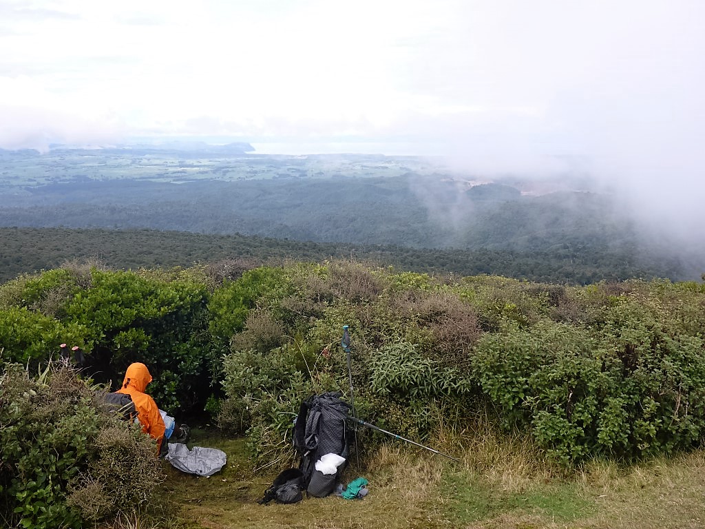
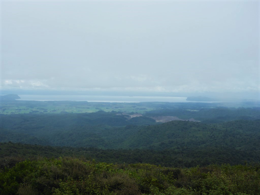
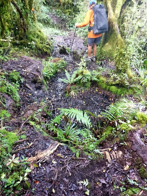
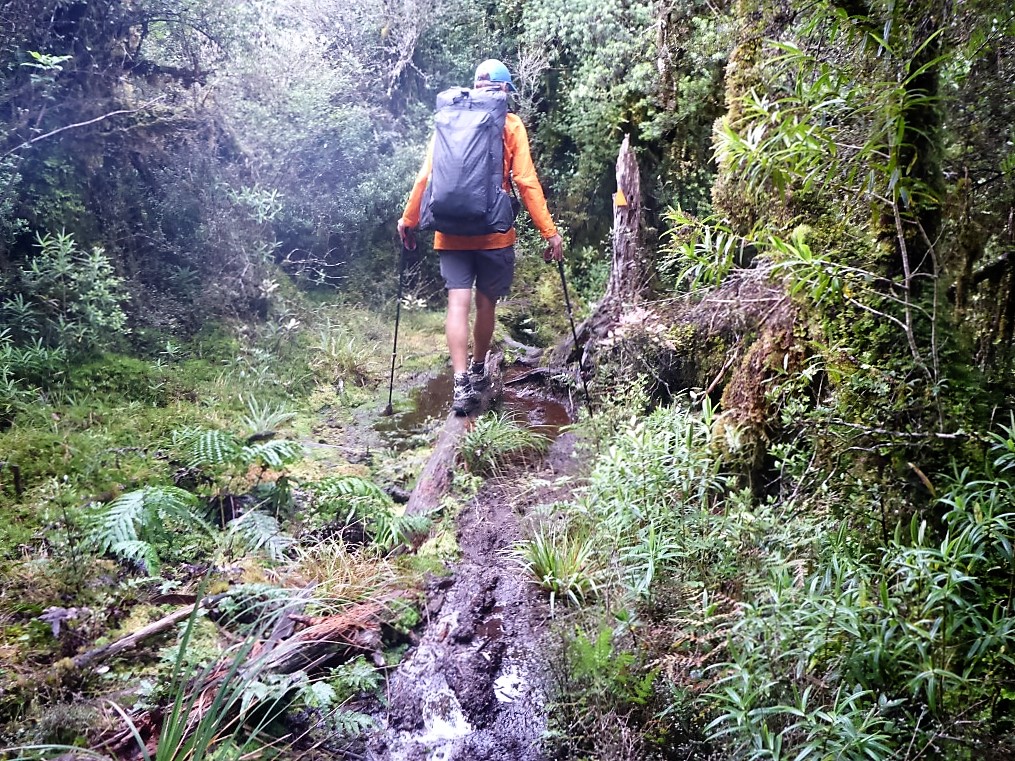
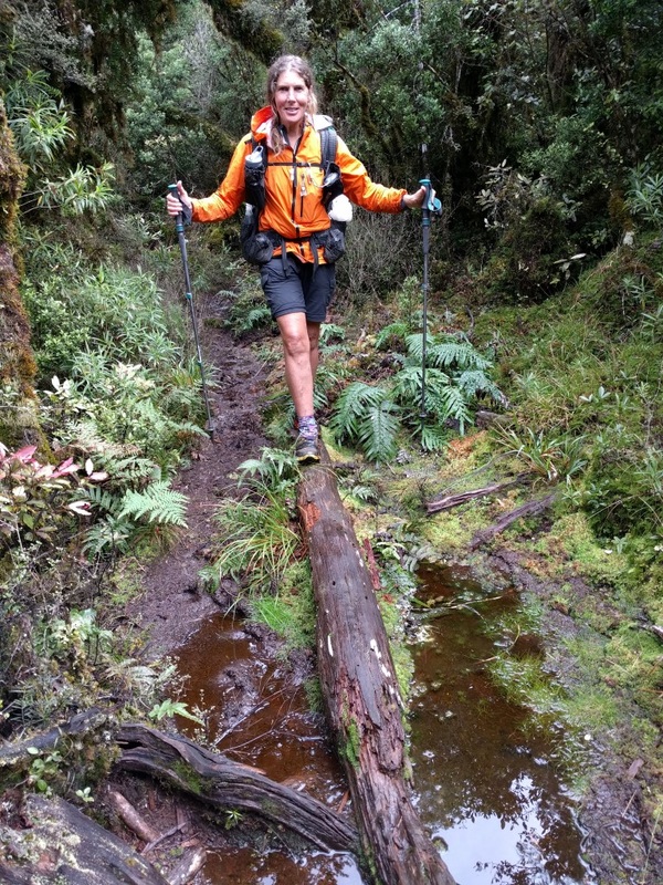
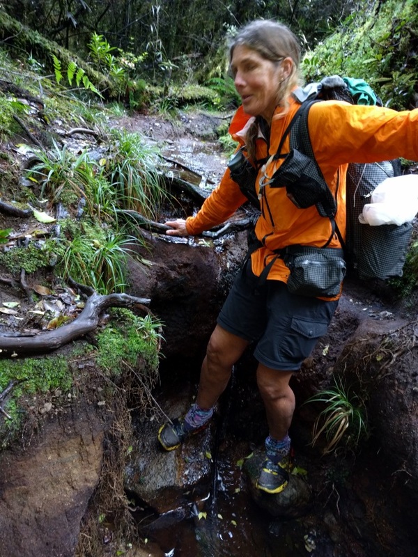
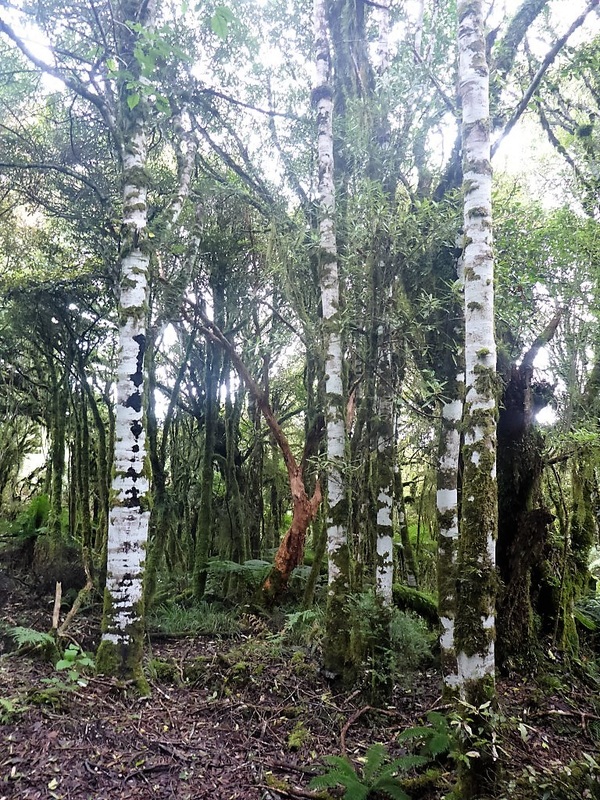
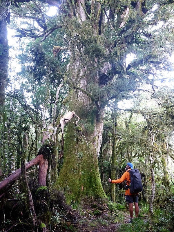
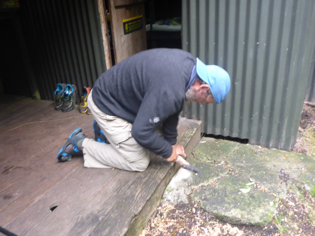
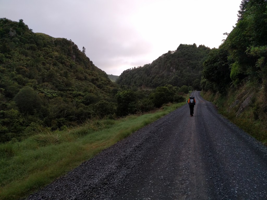
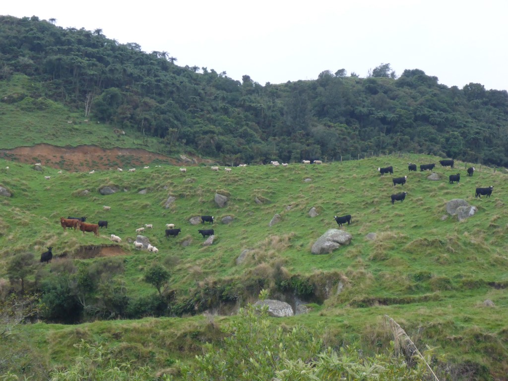
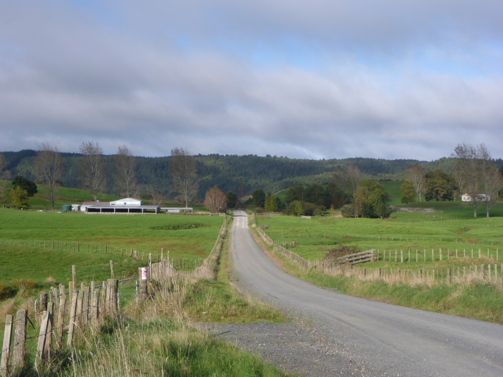
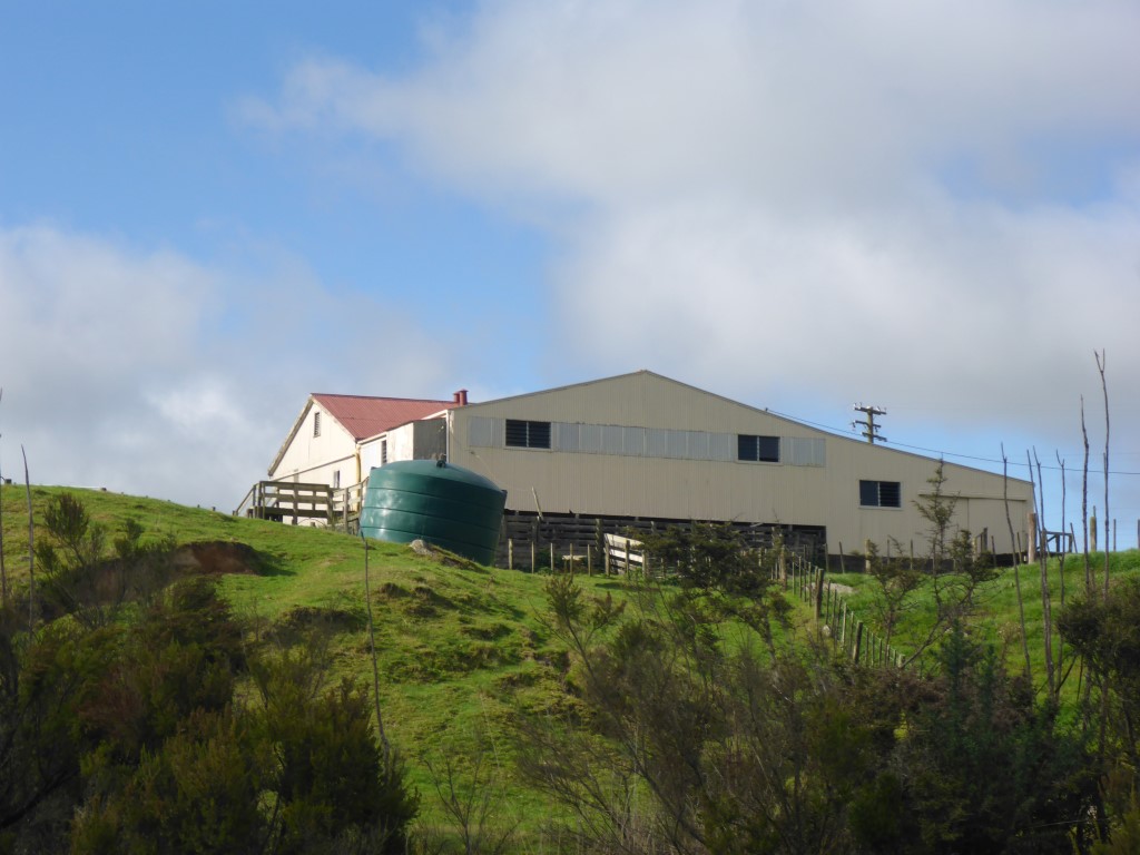
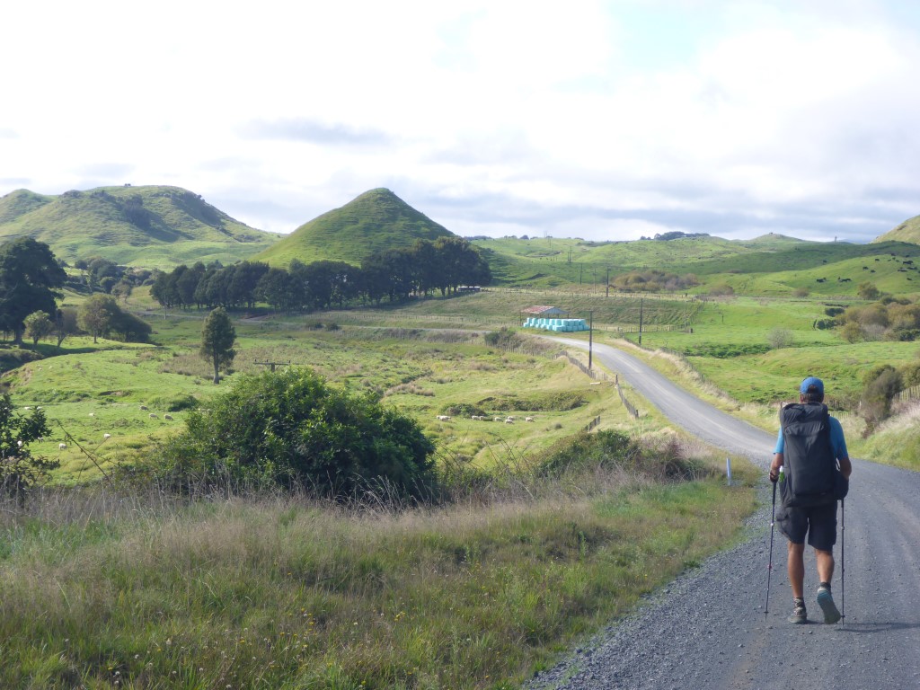
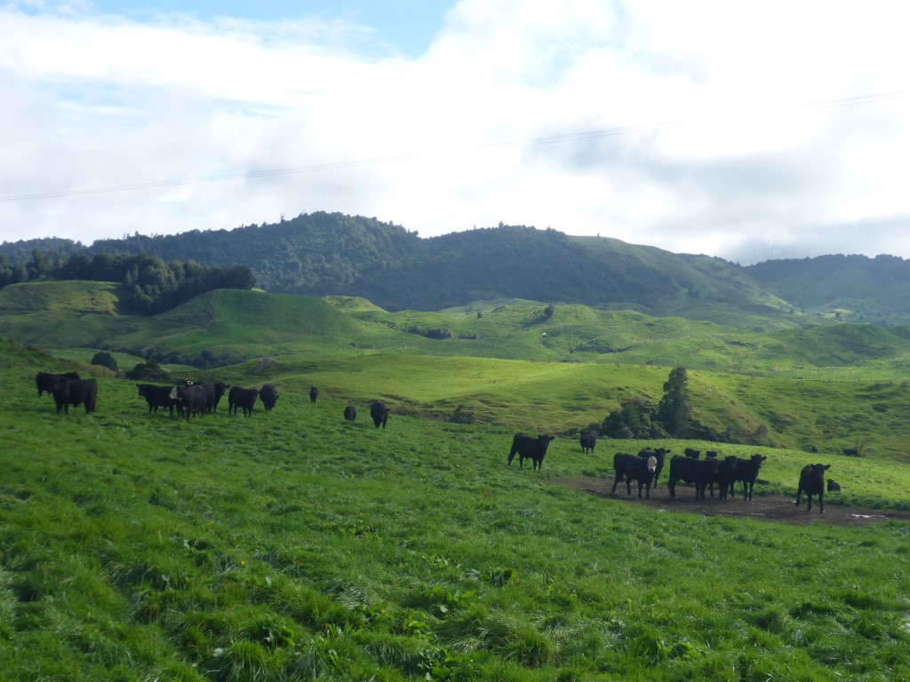
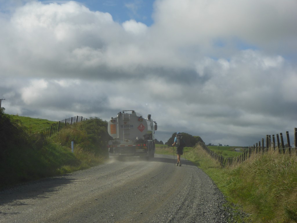
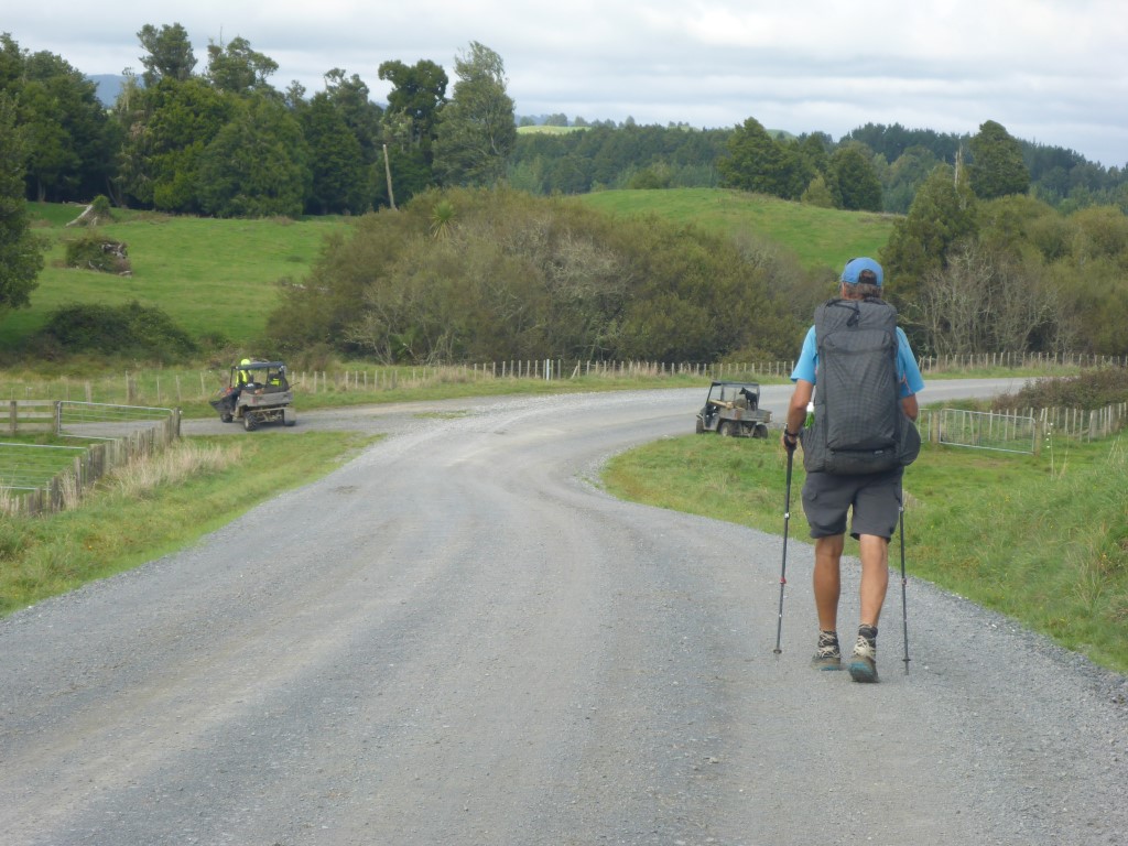
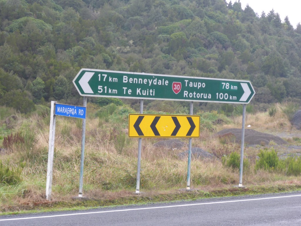
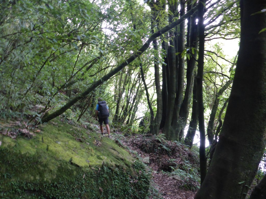
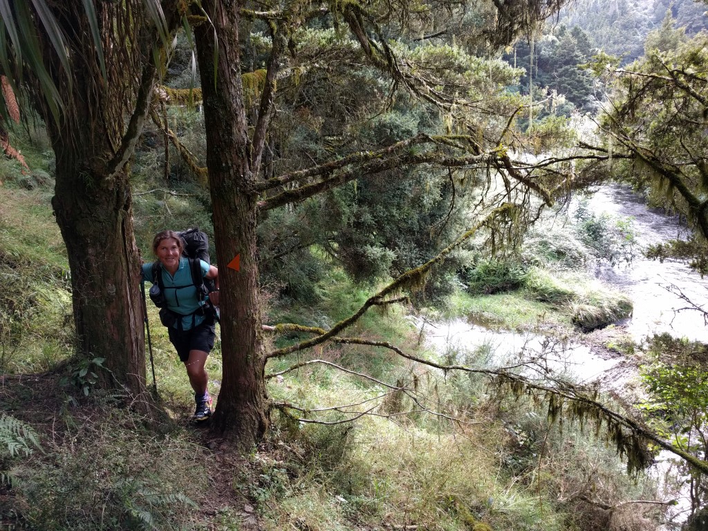
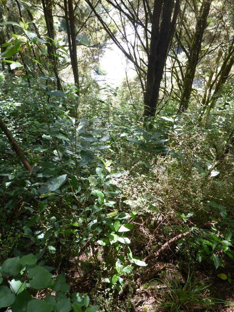
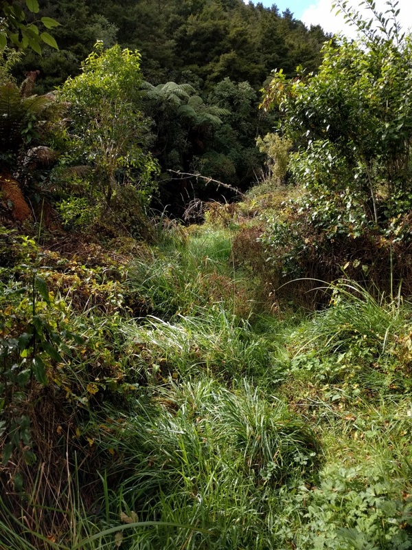
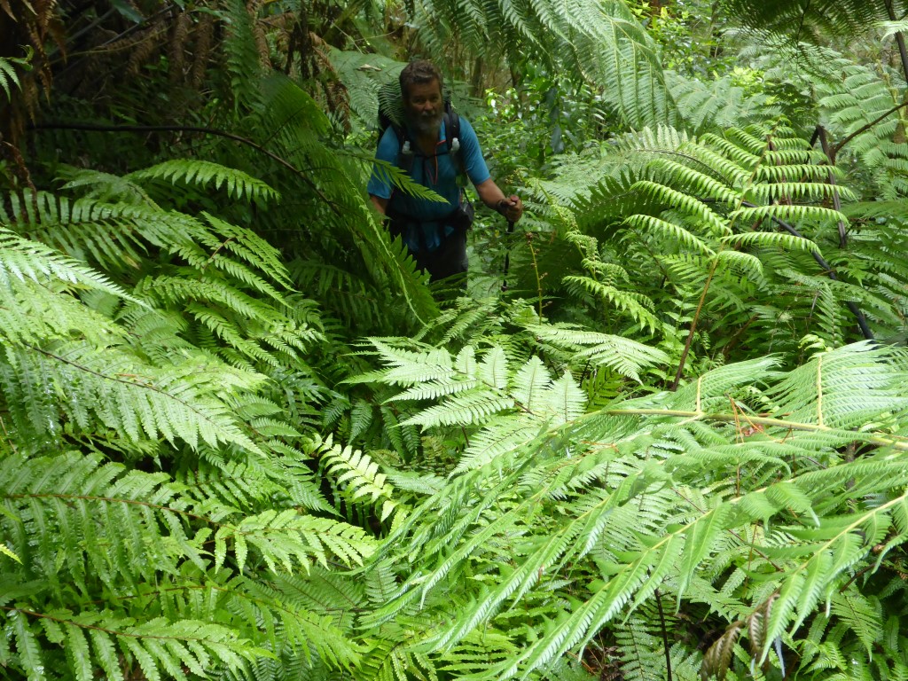
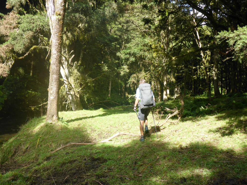
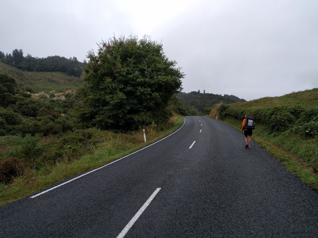
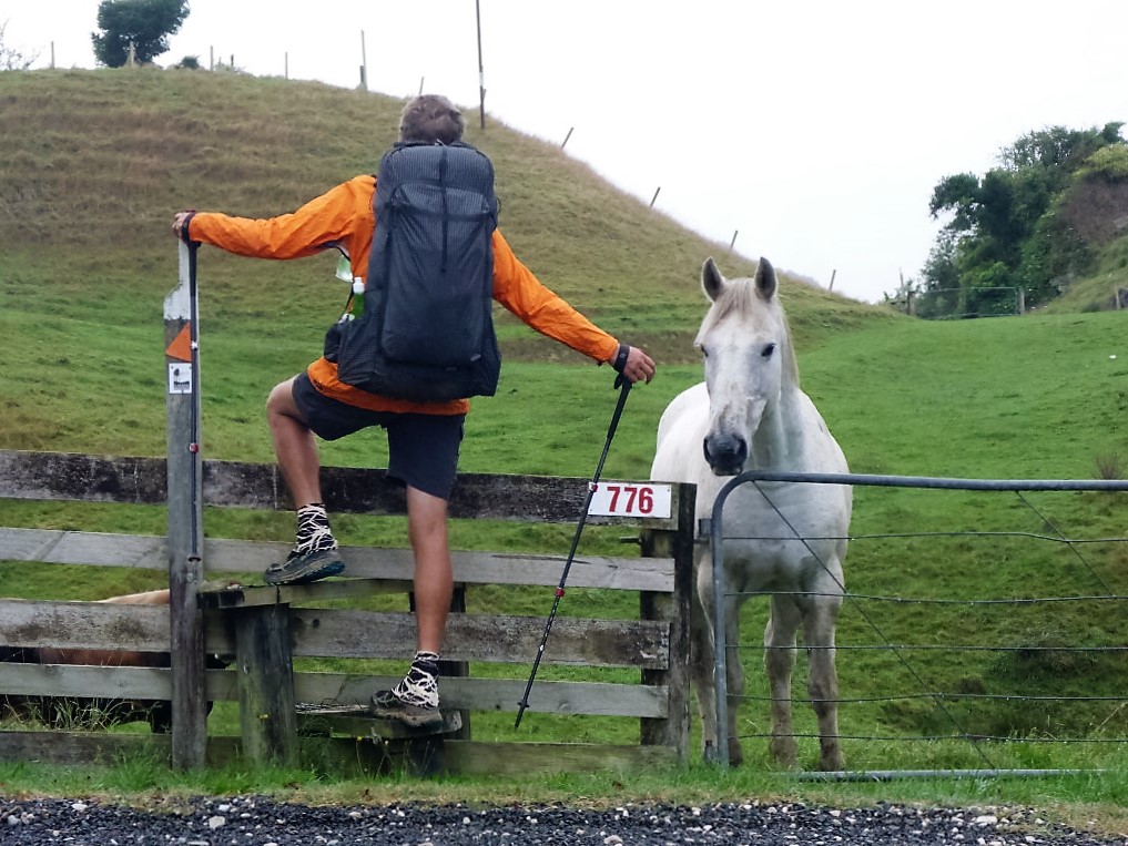
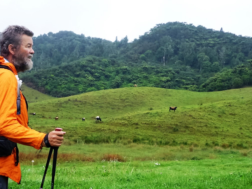
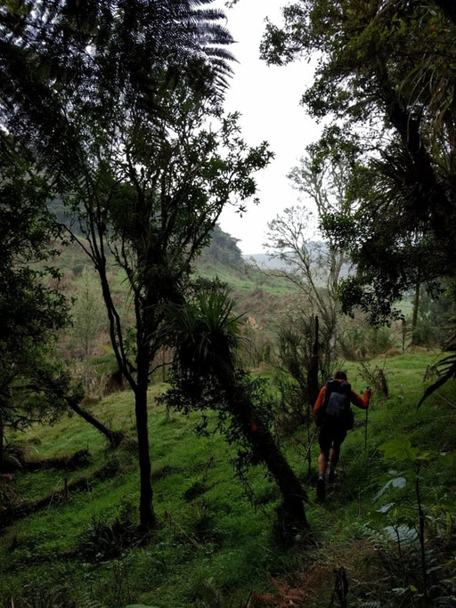
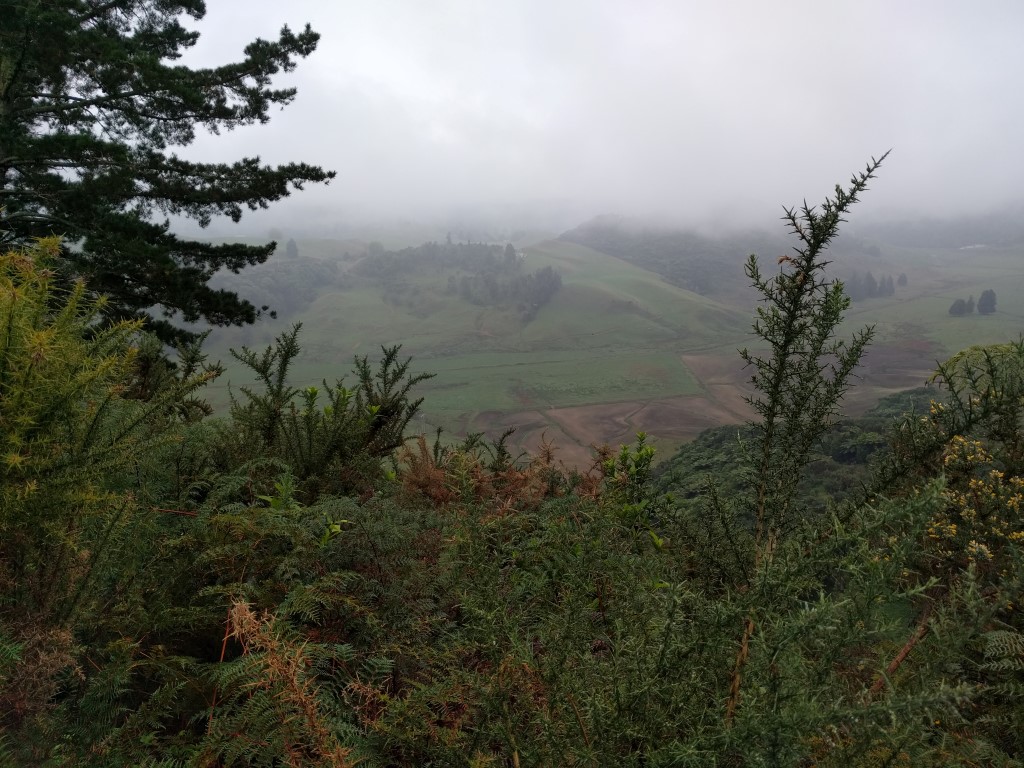
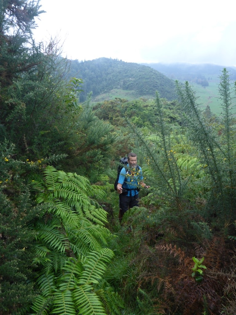
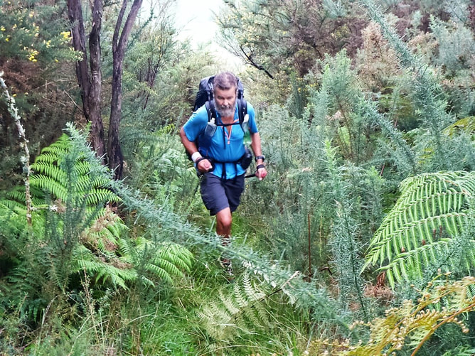
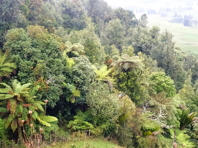
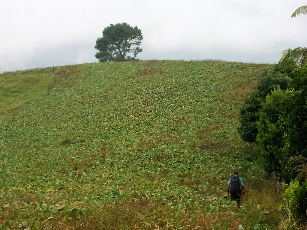
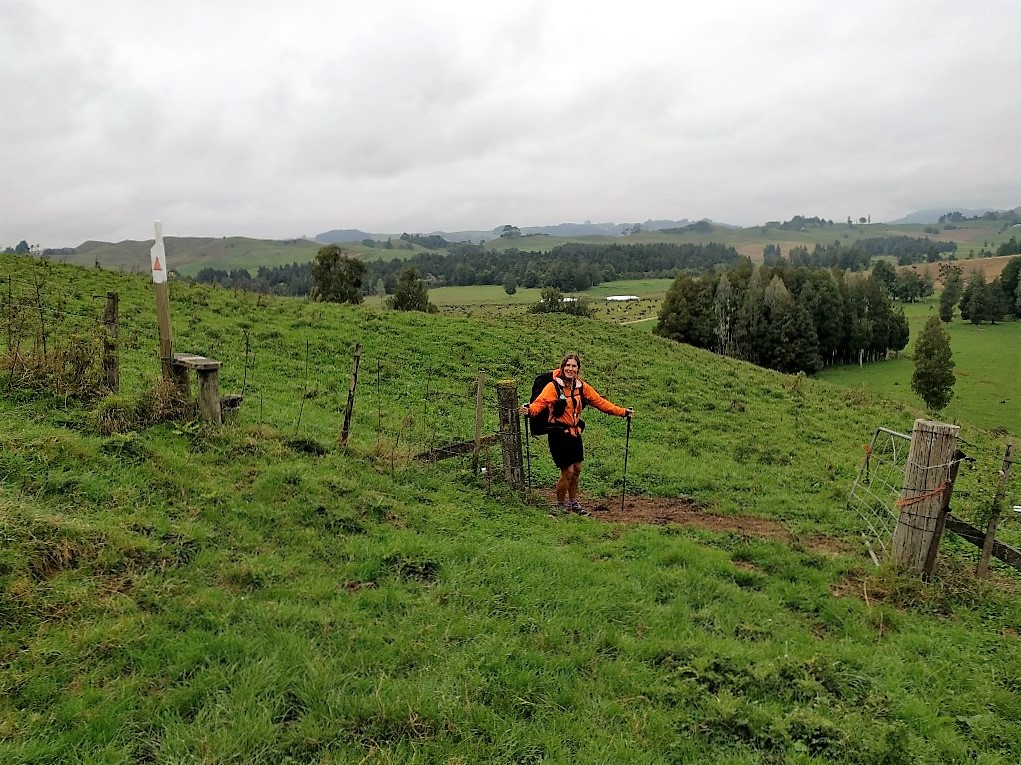
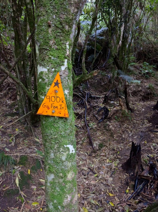
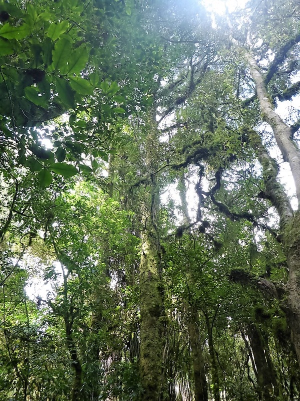
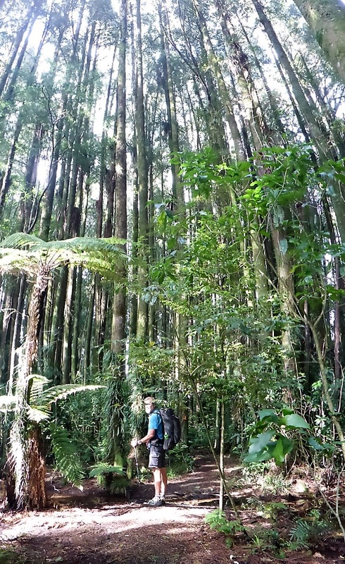
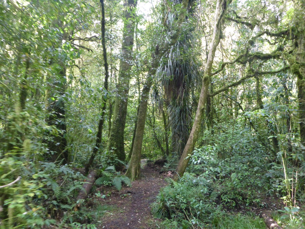
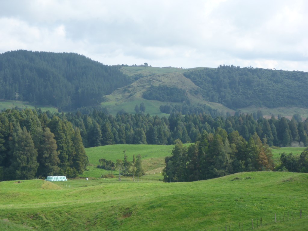
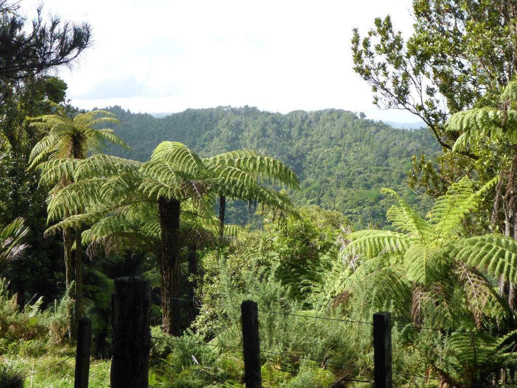
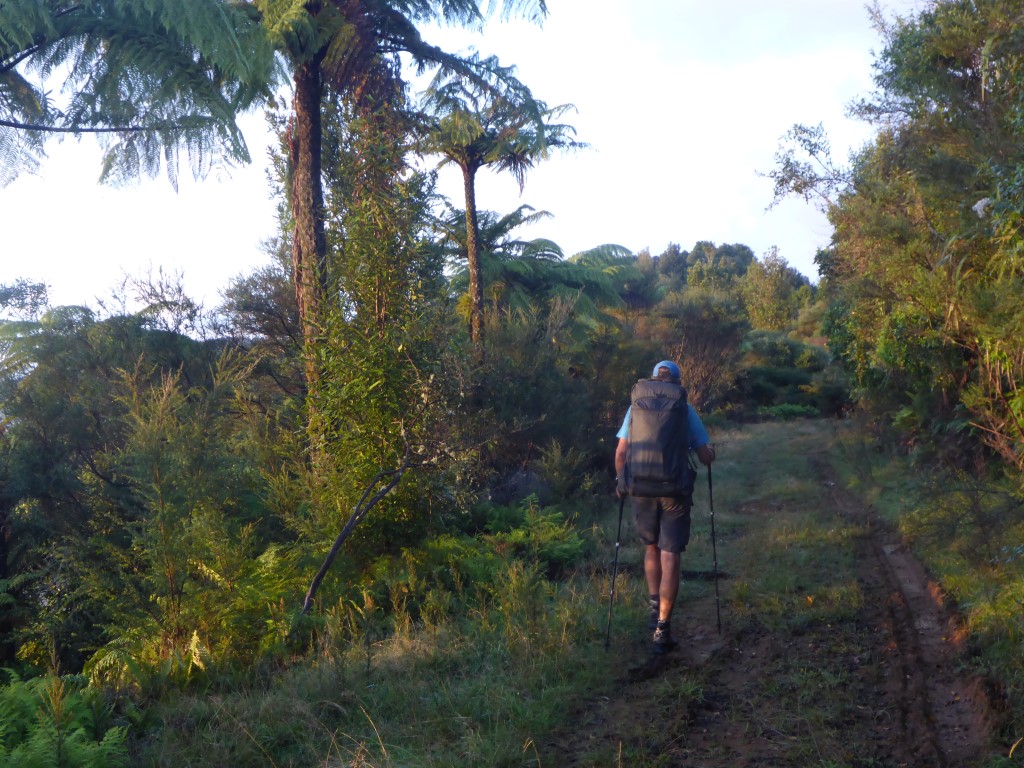
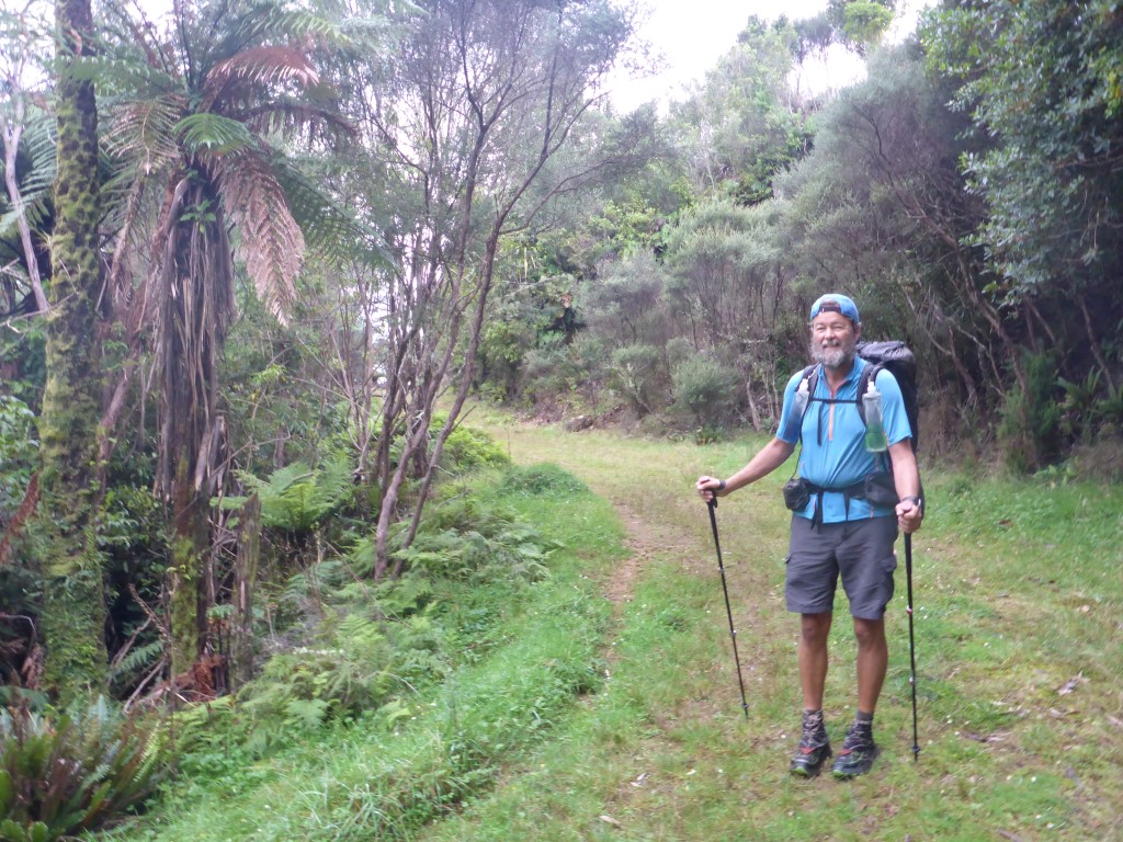
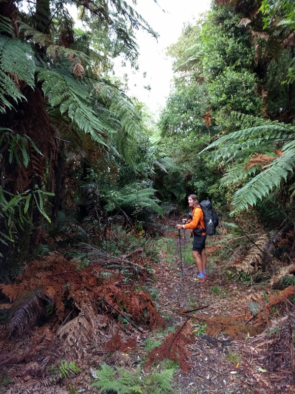
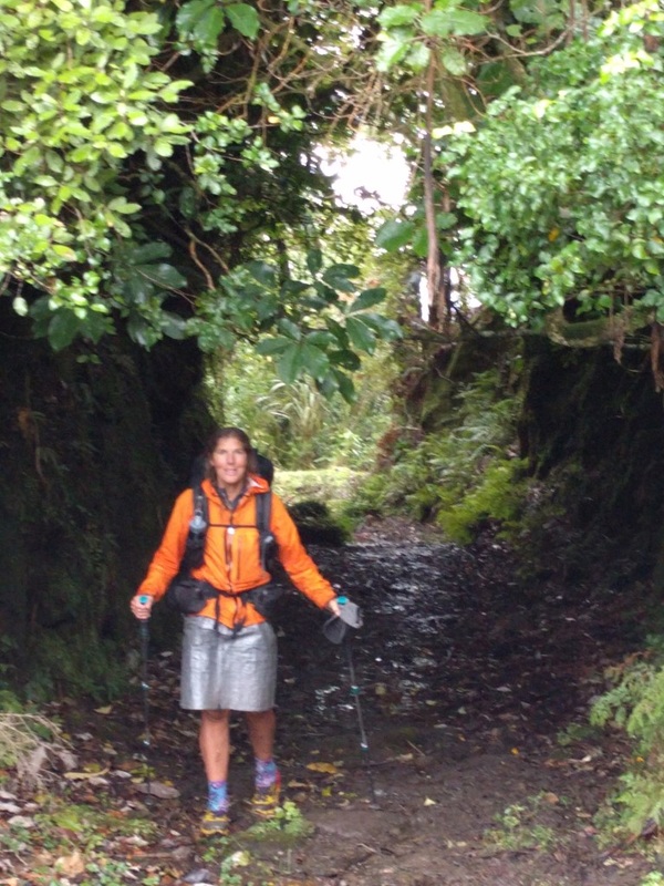
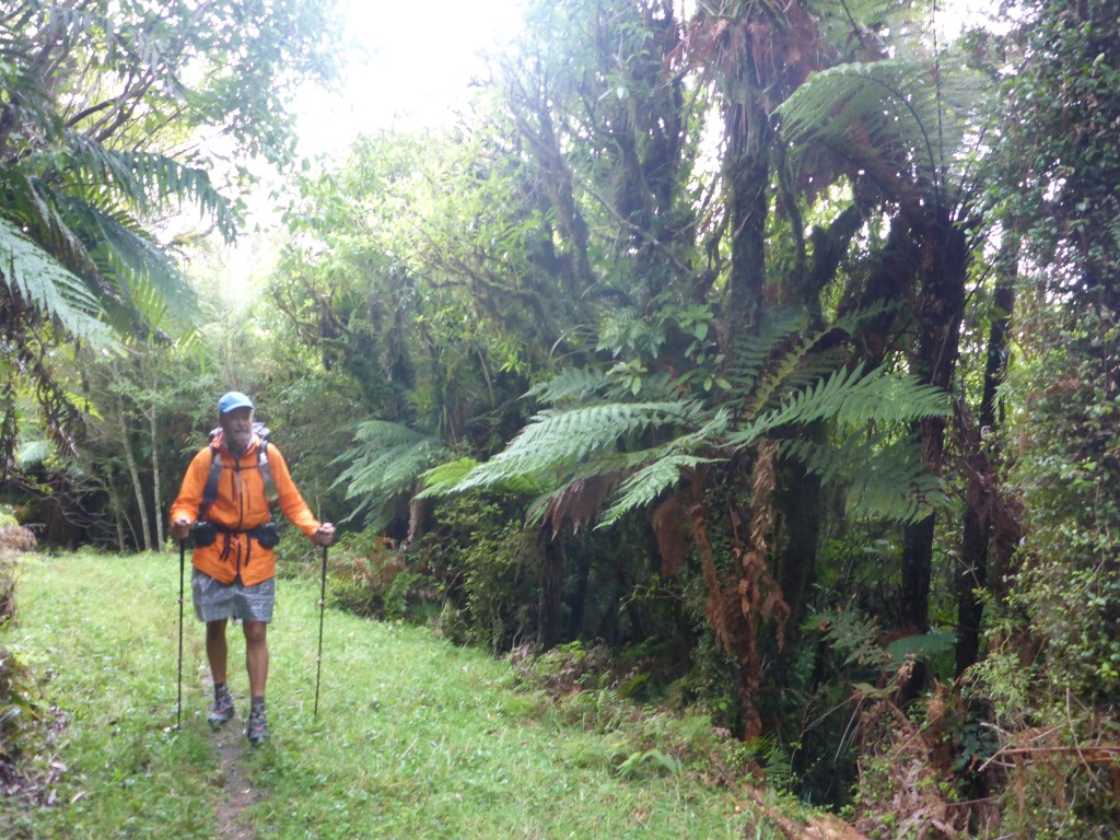
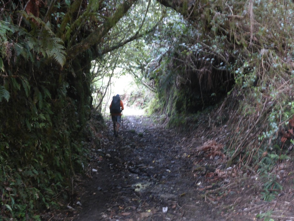
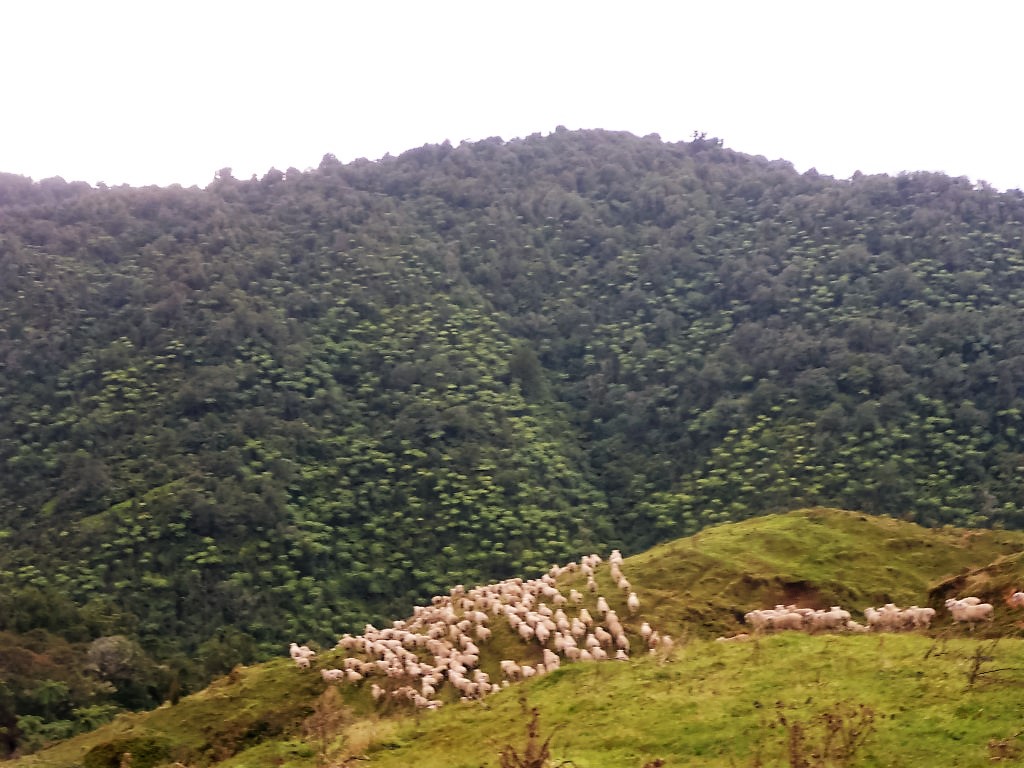
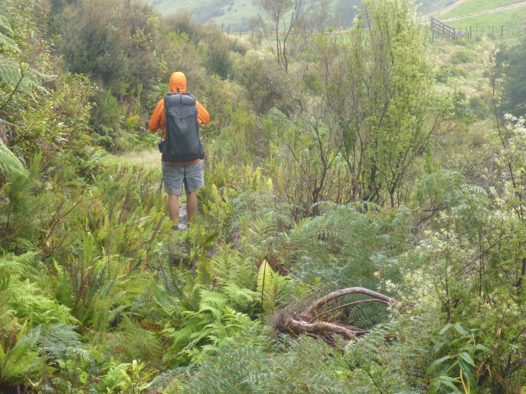
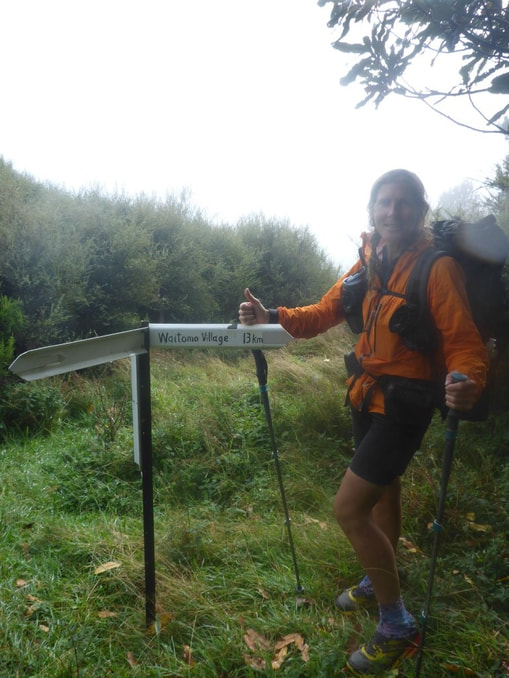
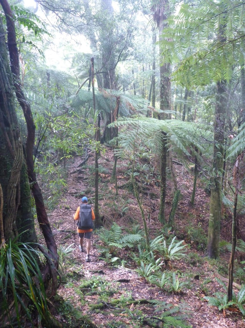
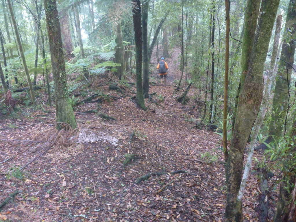
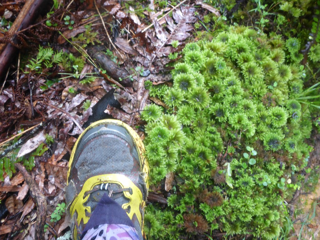
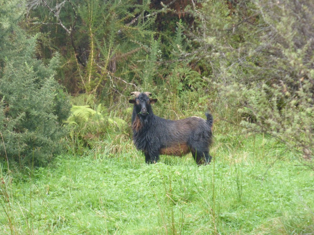
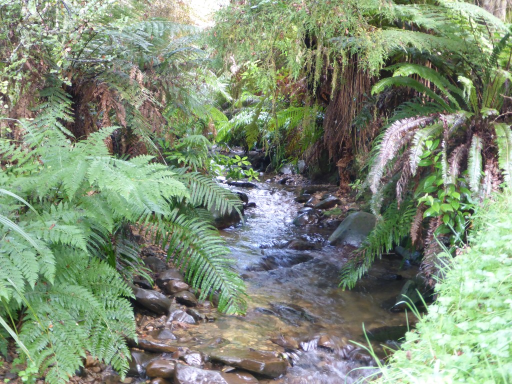
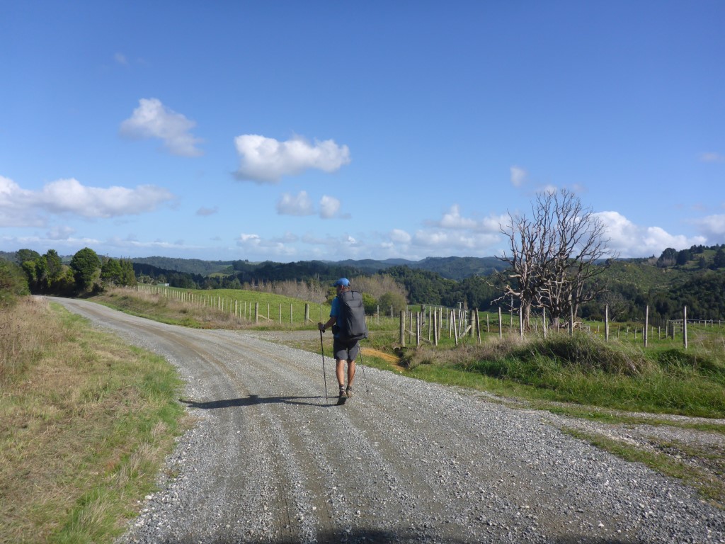
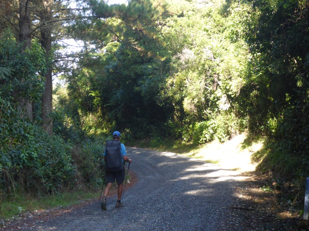
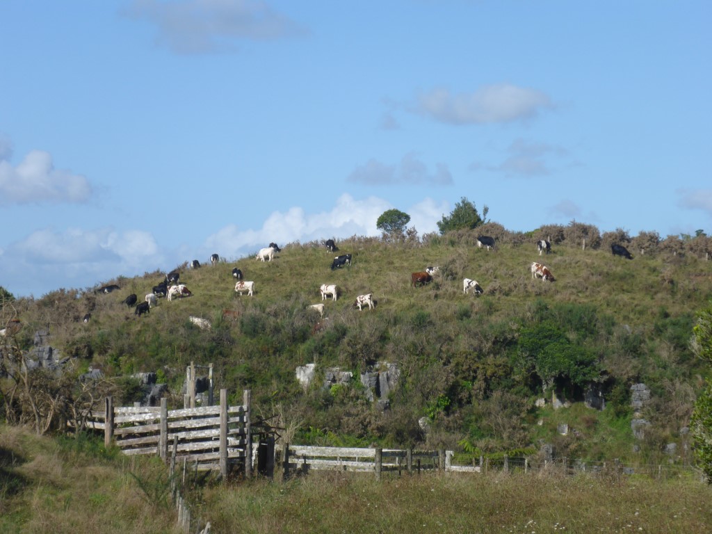
Having had such a great day's progress yesterday, we had a much more reasonable day ahead of us today than we might otherwise have had (if we had stopped at Hauhungaroa Hut). Today we knew was around 28km of primarily steady downhill (from around 500m to 180m asl) walking on roads. The day's GPS data is here. We got underway about 0700 setting off initially on gravel roads. It wasn't all that long however, before we hit asphalt, which was to be our lot all the rest of the way to Taumarunui today. We were passing through mostly farmland today, including past some more large maori land holdings. As in other parts of the country, dairy has found its way into some of these parts as well, although much of the land is still better suited to sheep and beef. The stock and lands were generally in good condition everywhere, which is always pleasing to see. Not long after passing the Te Urunga unit, we saw a hiker walking in the other direction and, of course, stopped for a chat. This turned out to be Kristoff (sp??) - a German nobo who is walking on his own also. Talked for about half an hour, with Belinda managing to offload some of her sweet things (jet planes etc) onto Kristoff as we had almost finished!! We also took the time to warn him of the fact that it was the roar and it would not be silly to find something colourful to either wear or put on his pack - just to be on the safe side heading into the Hauhungaroas and Pureora. After the chat with Kristoff we were off agin towards Taunmarunui. We reached the Taumarunui Aerodrome about 1230 and stopped for a bite of lunch before the final stint of around 6km into Taumarunui township. This was a pretty uneventful walk, but we did find a dairy on the way in and stopped for a real refuel (i.e. ice creams and sweet drinks!! We had booked a motel for the night and had also booked a bus home for tomorrow afternoon. On that matter, we had hoped to book a train home for the experience, only to find that it no longer stopped at Taumarunui - this is sacrilege!!! So we settled for Intercity buses as the only other option. We arrived at our motel about 1400 - giving us time to rest, reorganise, clean clothes, repack and also to have a look around. We later went to a local Thai restaurant just near the motel for a delicious dinner (and a couple of beers for me) as it was a while (Te Kuiti) since we had anything other than tramping food. Taumarunui may not be a real go-ahead town, suffering as it is from rural town issues (closing businesses, declining population etc), but it can serve up some scrumptious Thai food. It's amazing how much you can eat after a stretch in the bush!! It was so popular that we were struggling to get a table. Luckily a family of three from National Park kindly offered us the other end of their table - we spent a lovely evening chatting with Peter, his mum and partner while enjoying the food and beverages!! Up around 0600 with Tom and Mick this morning - however by the time we had chatted, had brekkie, looked at some nearby whio (blue duck) etc, it was almost 0800 before we hit the track. Today's GPS data is here. Mick commented that there was a little stream just below the hut that contained some whio and took Belinda down to show her. B managed to get some shots, although the light conditions at 0650 weren't all that favourable! Its great to see these endangered birds existing happily up here - Whin and Whiona would be happy!! We didn't know how far we would get today. The DoC time for Waihaha to Hauhungaroa Hut is stated as 7 hours (about 13km and a 400m ascent overall) and we hadn't been going much faster than DoC times generally. We also knew Kirstine Collins had done it in just over 4.5 hours in wet conditions - on that basis we were thinking that it might be a night in Hauhungaroa Hut. So we set off back into similar forest to yesterday with our rain gear on again. For the very first time, I brought out my bright orange Icebreaker hiking top - I wanted as much orange as possible (we had heard some deer roaring, a couple of distant gunshots and helicopters ferrying hunters!!) and I knew I would have to take my raincoat off at some stage because of the heat. We were actually making really good time through a mix of forest and terrain types, including the odd grassy clearing thrown in. There was a reasonable amount of up and down but today seemed to be a day where we just took it all in our stride?! It was apparent that we would make Hauhungaroa Hut in good time - in fact we arrived there exactly 4.5 hours after leaving Waihaha Hut - we were very pleased with ourselves!! We decided that we would have no trouble carrying on down and out of the forest onto Mangakahu Rd - this would have the added benefit of making our final run into Taumarunui the next day more manageable. Anyway, having reached Hauhungaroa Hut in beautiful sunshine, we decided to have a good lunch break - staying for a hour. The hut is newly built and is a fantastic facility. It reminded us of Pahautea Hut on Pirongia, although this is smaller, being only 8 beds. Anyway, we fueled up, dried out, topped up our water and got the solar charger out! Then it was off "down the hill". From the hut, we still had to climb some more - up to nearly 1000m, before dropping down a ridge to the head of the Mangakahu Valley and eventually onto Mangakahu Road. Although, as you will see from some of the photos, "road" is a bit of a misnomer, at least at the start of it!! Just after we climbed over a big steel gate (no other way through) we came across Michael, a member of the whanau who obviously own the land around here - we had a pleasant chat and he offered us a ride into Taumarunui. As with all these generous offers, we had to decline! We walked a couple of km down the road before finding a spot just off the road to pitch the tent for the night. There was a loading ramp there and I think it was used for turning trucks as the road we had come down was not suitable past this spot, and the first farmhouses were close by. We had some local goats standing on the loading ramp looking at us as intruders for a while but they soon took off into the trees!! We packed up and set off around 0750. While the day was not long distance-wise, it was supposed to be fairly hard tramping today. We ended up doing just over 20 km in around 9 hours (including stops). The GPS track for the day is here. A short walk saw us back on the track proper. We were starting at around 800m asl and knew that the first half of the day involved about 8 km to get up to Mt Wereroa at around 1090m asl. I didn't mention it in yesterday's blog but we were, of course, walking right in the middle of the roar - so deer hunters were out in force in the forest looking to bag one. Because of this, we wore our bright orange ZPacks rainjackets irrespective of the weather!! Luckily it wasn't too hot as I get hot and sweaty pretty quickly! The track was reasonably challenging in places, with it still being boggy in places as well as involving some occasional steep ups and downs. As the GPS track shows, we ended up climbing about 800m and descending 1000m even though we only ended up 200m lower than we started! The bush was similar to yesterday with mixed bush at lower levels and thinning out at higher altitudes (e.g. up Mt Wereroa). I have included a selection of "jungle" shots, from the start of the journey heading towards Mt Wereroa, below!! We reached Mt Wereroa summit about 1100 and stopped for a smoko break. We also had some cellphone reception and had a few messages we had to follow up so stopped initially for 30 minutes or so. Just as we were about to head off again we heard a voice saying "hi"!! This was Flo (Florian) a German nobo. We had a great chat with Flo for about an hour!! He hadn't seen anybody for a while as we are very late to be sobo, so we were all in need of company!! We have invited him to come and stay with us after he has finished at Cape Reinga. So, hoping to see you later in May/June Flo!! Then it was off down the hill again and off towards Waihaha Hut. The rest of the day was a mixture of OK tracks with the usual mud and some steep and gnarly bits. There was also a lot of fern regrowth that we had to push through - this made us keep our rain skirts on much of the day as otherwise the shorts would be drenched! The descent down from Wereroa was pretty rough with some steeper bits heavily rutted by water flows - so some care was required in places. We also came across a couple of spots where hunters had obviously camped out in their hunt for deer in the area. About 3km from the hut we came across what was probably one of our steepest descent/ascent patches to date - always a bugger when these come towards the end of the day!! At a similar time we also passed a major milestone - the nominal TA 1000km mark!!!!!! The hut seemed to take forever to appear - it was one of those days!!! But it was a nice, modern hut that greeted us in the clearing. There were also a young couple from Taupo there for the weekend (its only a 3 hr walk in from Western Bays Rd) and they already had a fire started. I helped by sawing up some more wood for later - at least we had a hand saw and axe at this hut - although dry wood was in short supply in these conditions. Later on a couple of Irish pig hunters, Tom and Mick, arrived with their dog (Bailey - named after the Irish Cream!). One lived in NZ and the other was a friend visiting from Ireland - good way to spend a holiday!!
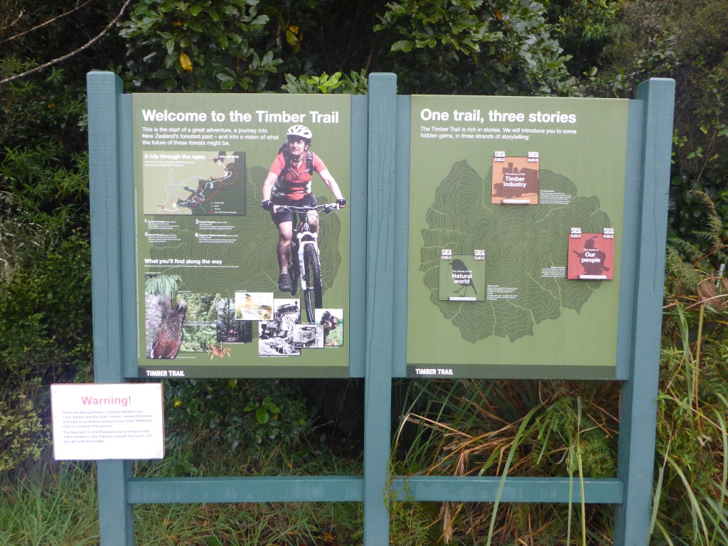
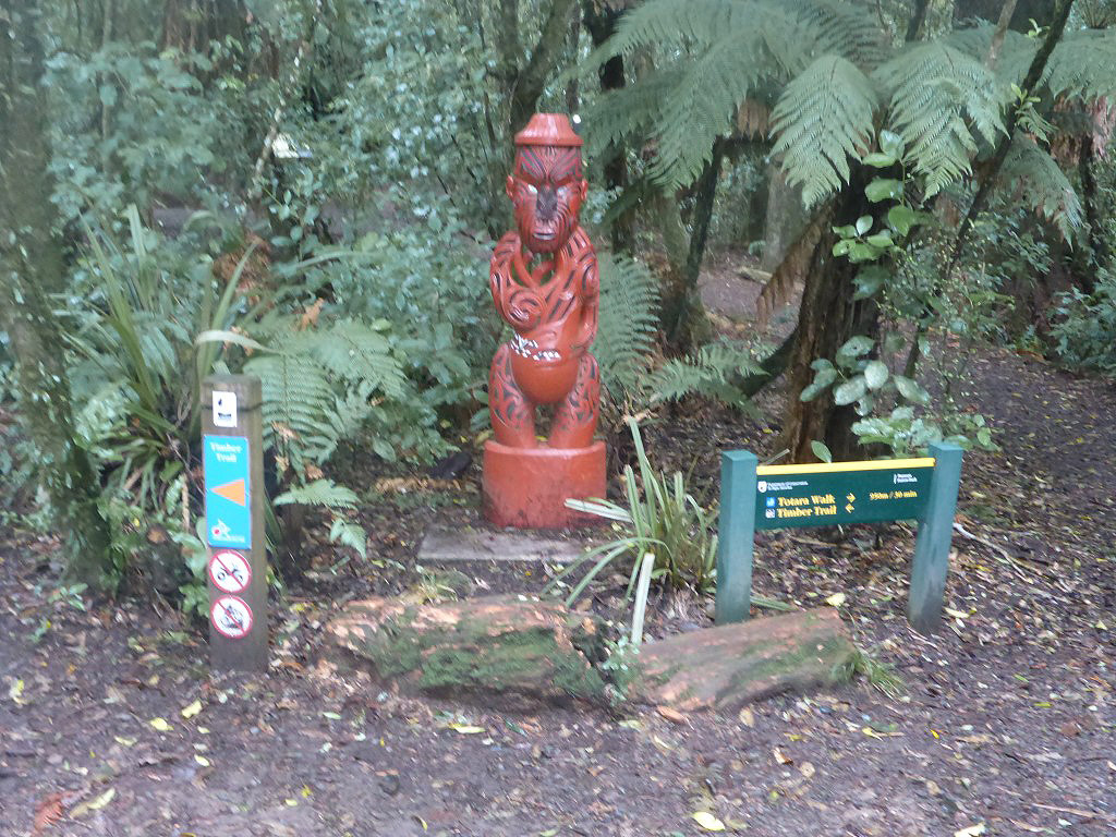
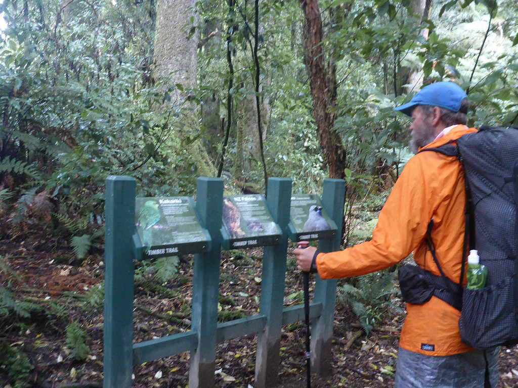
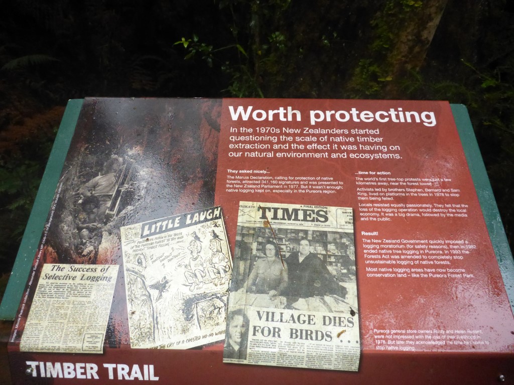
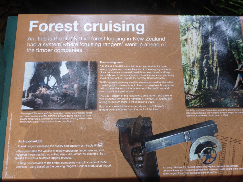
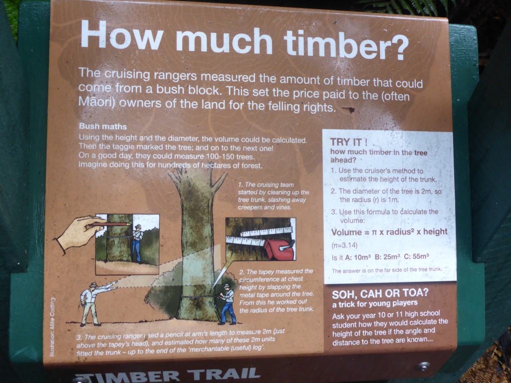
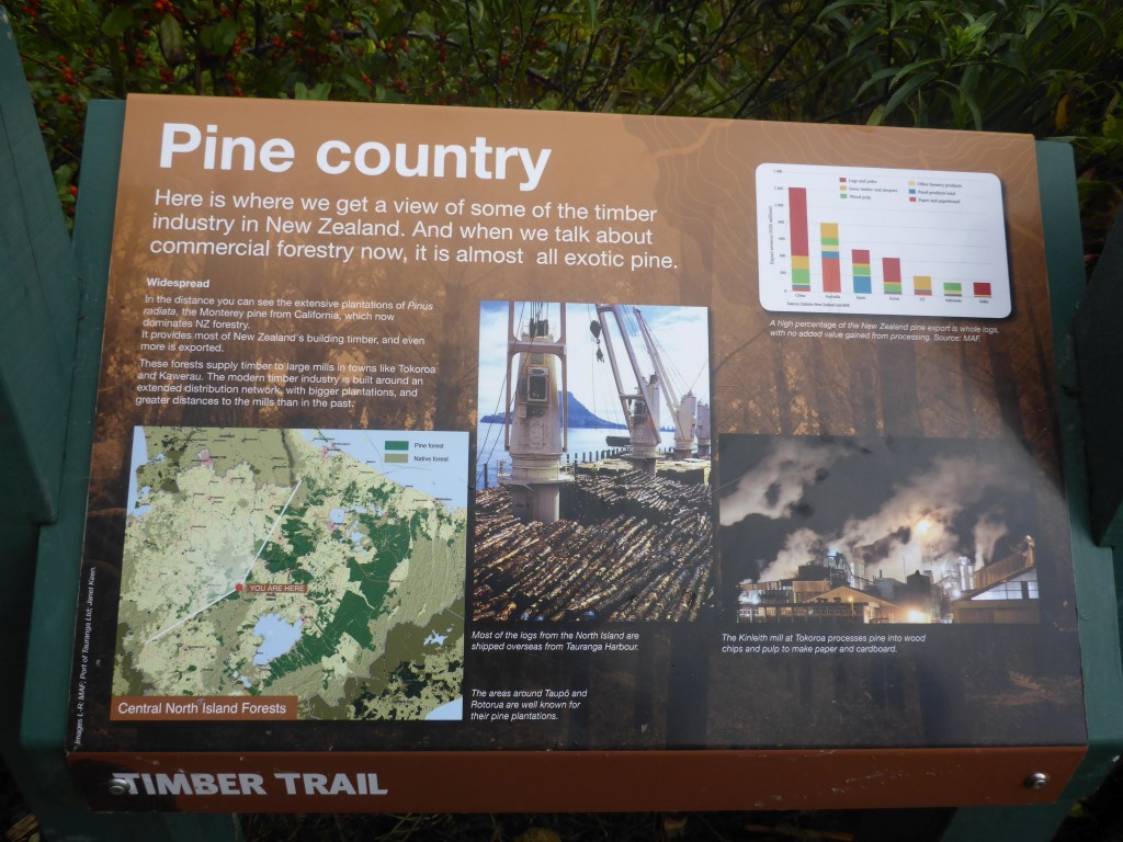
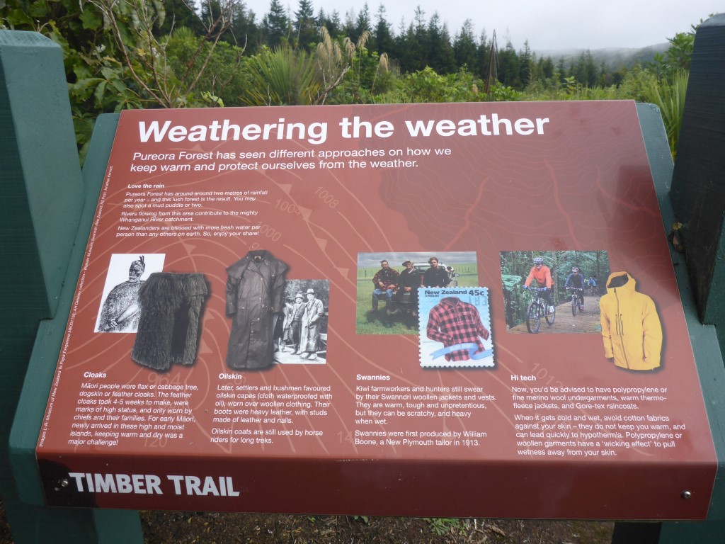
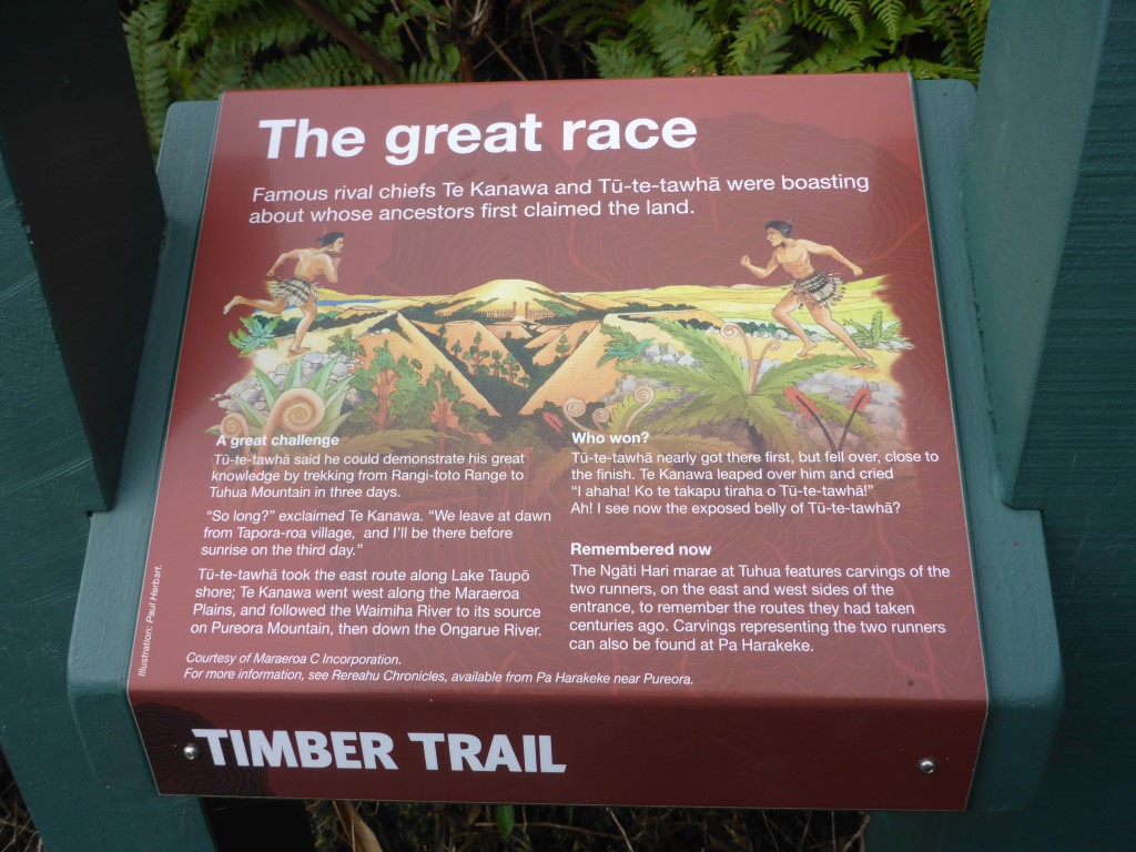
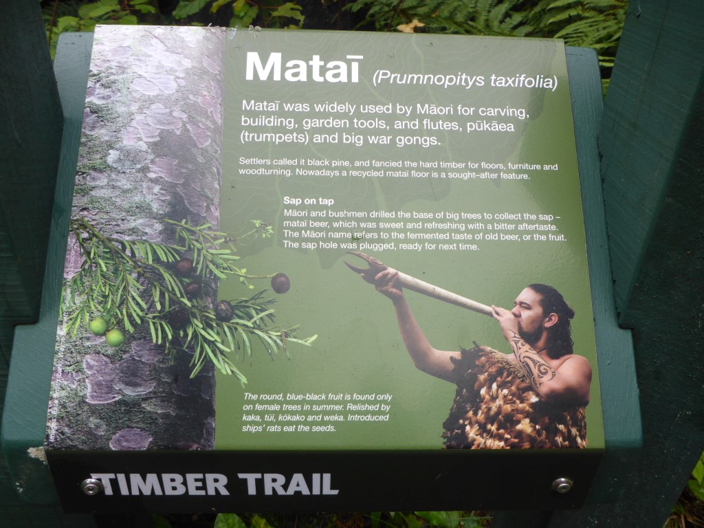
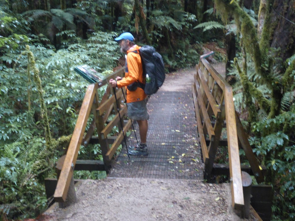
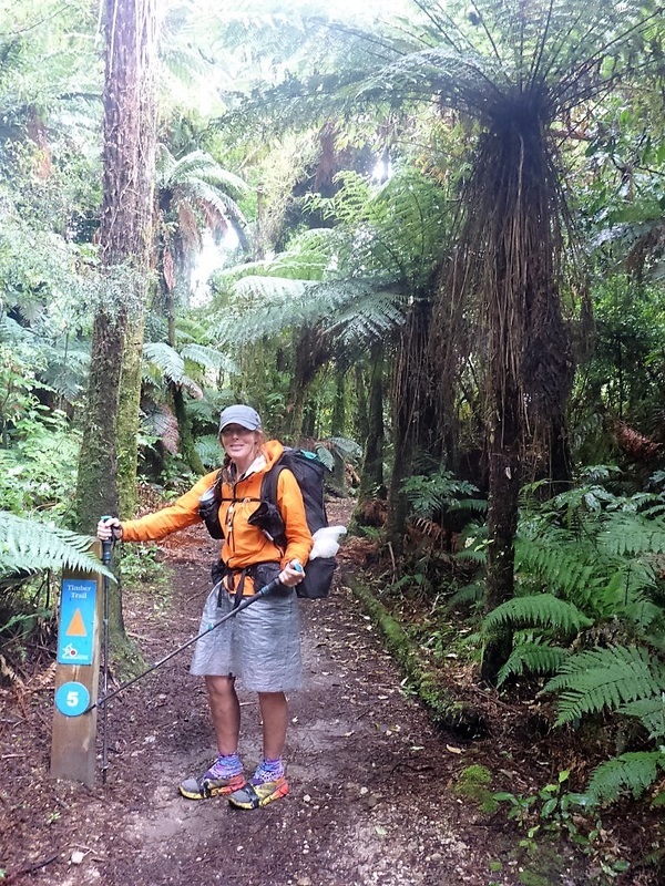
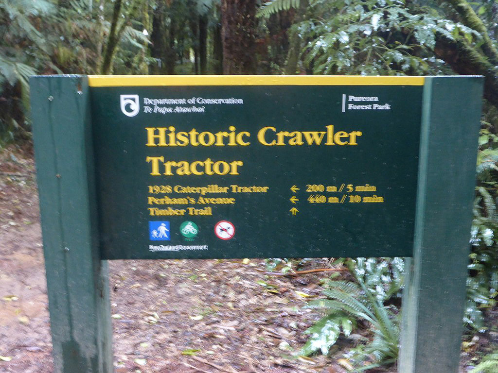
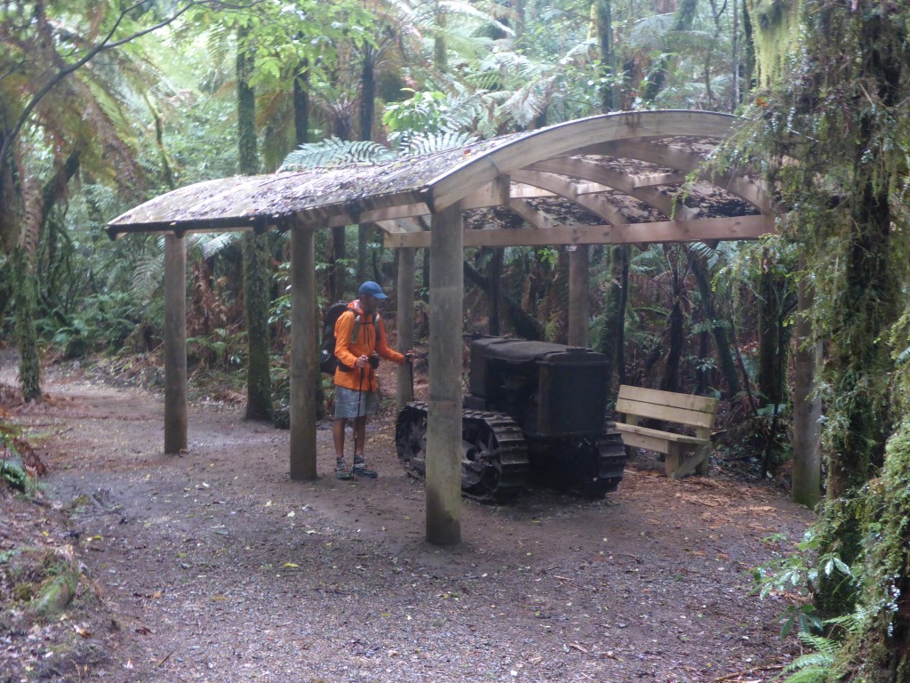
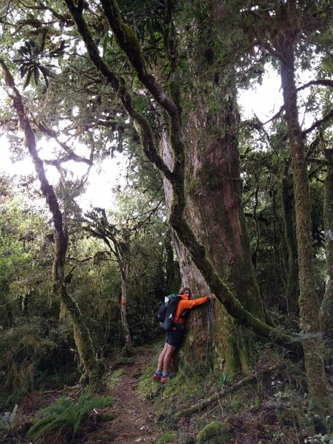
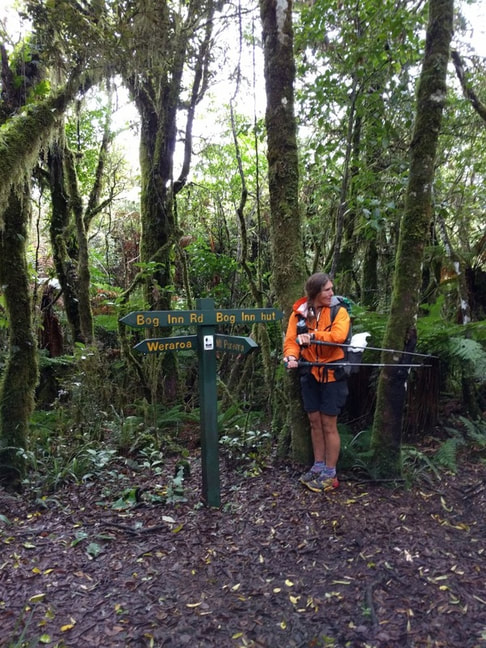
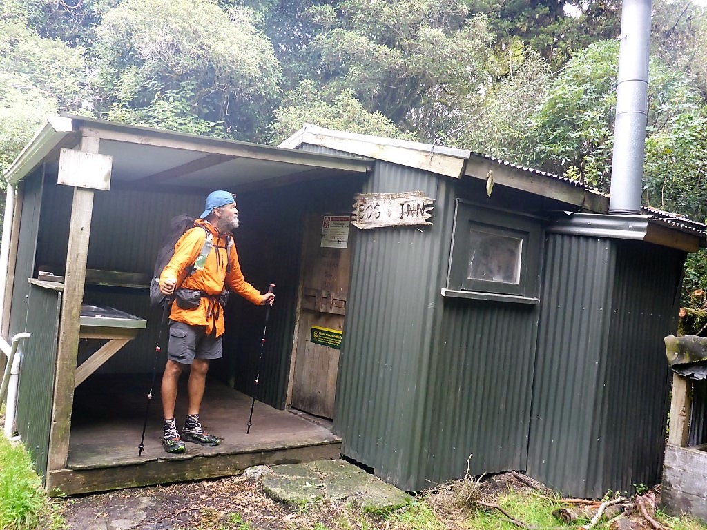
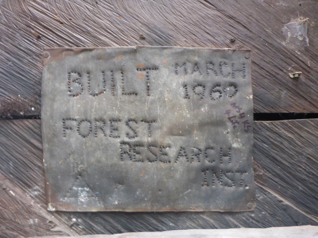
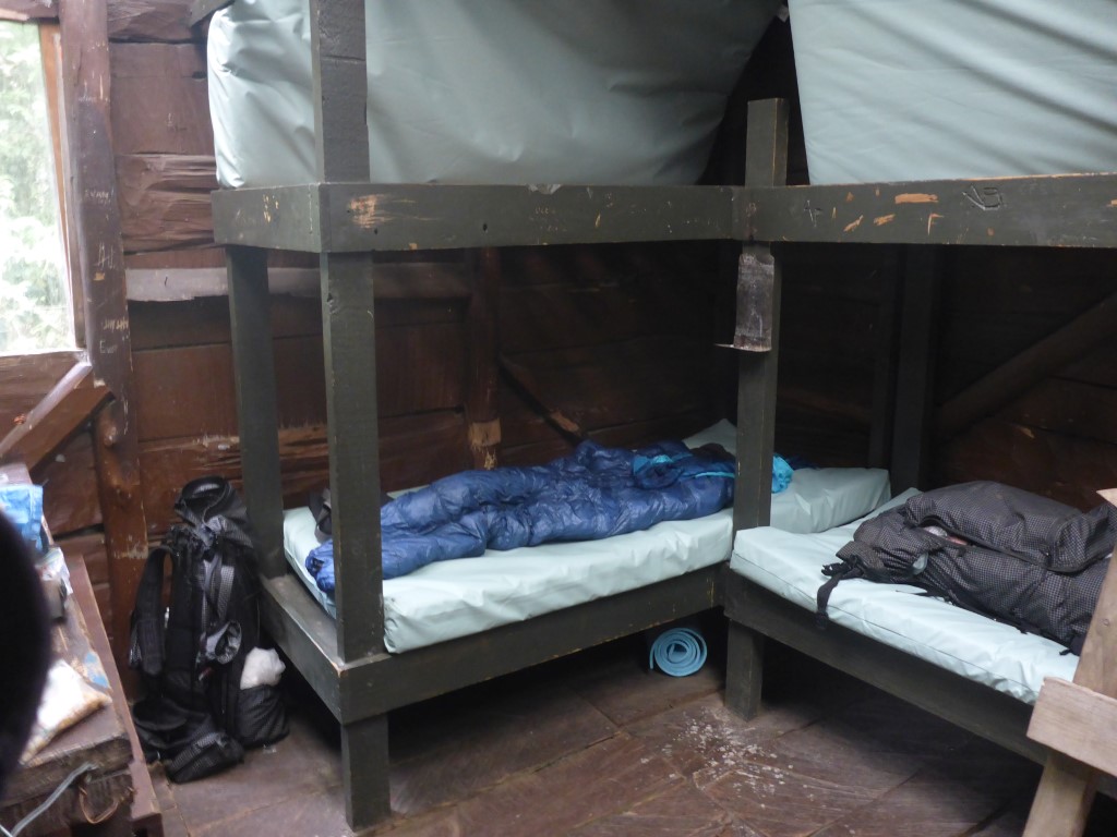
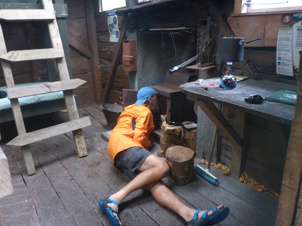
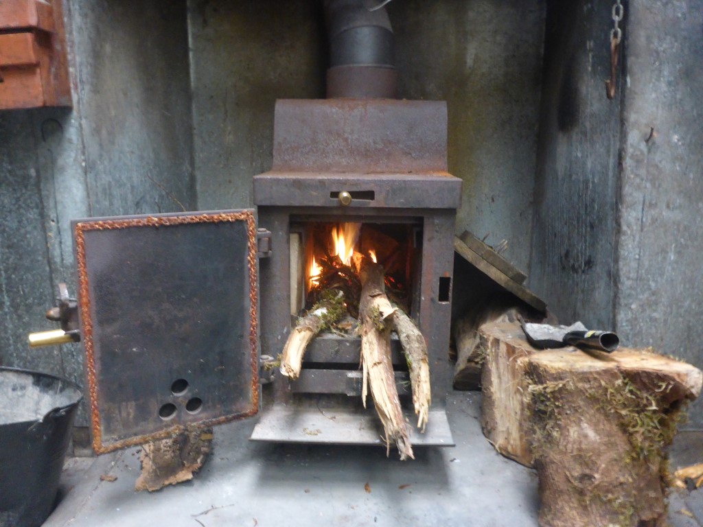
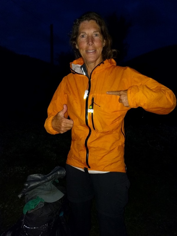
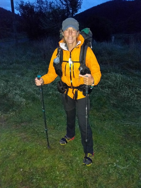
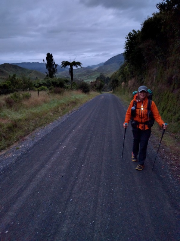
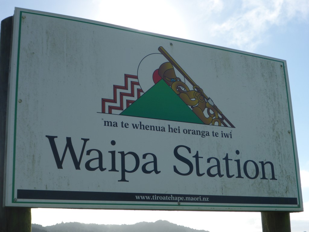
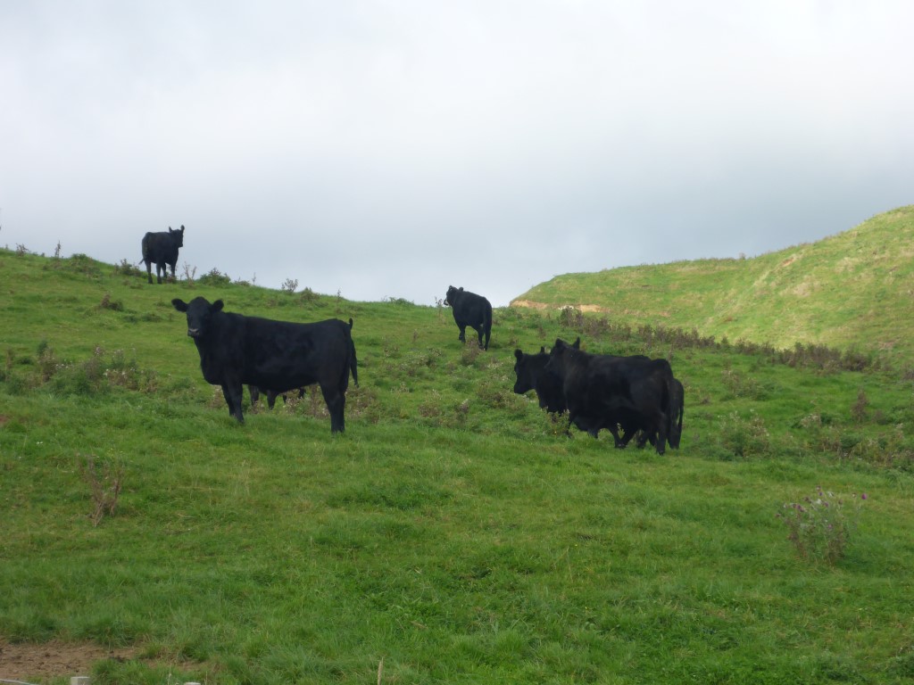
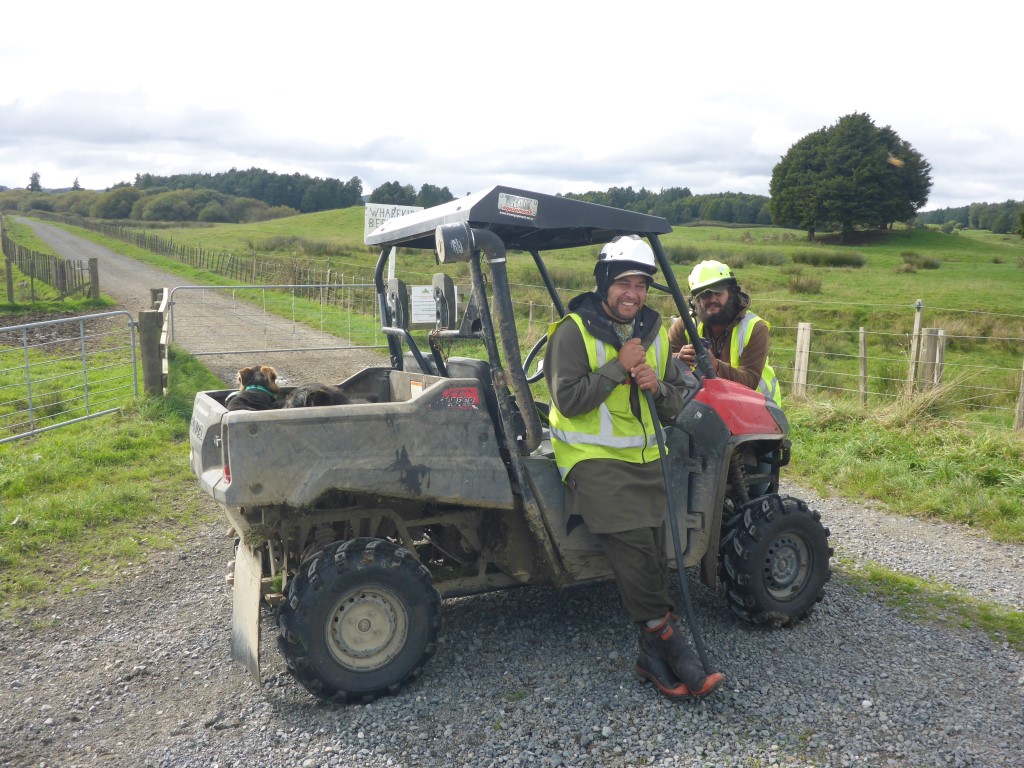
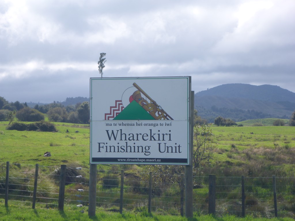
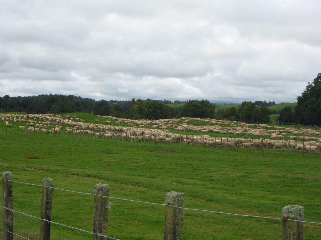
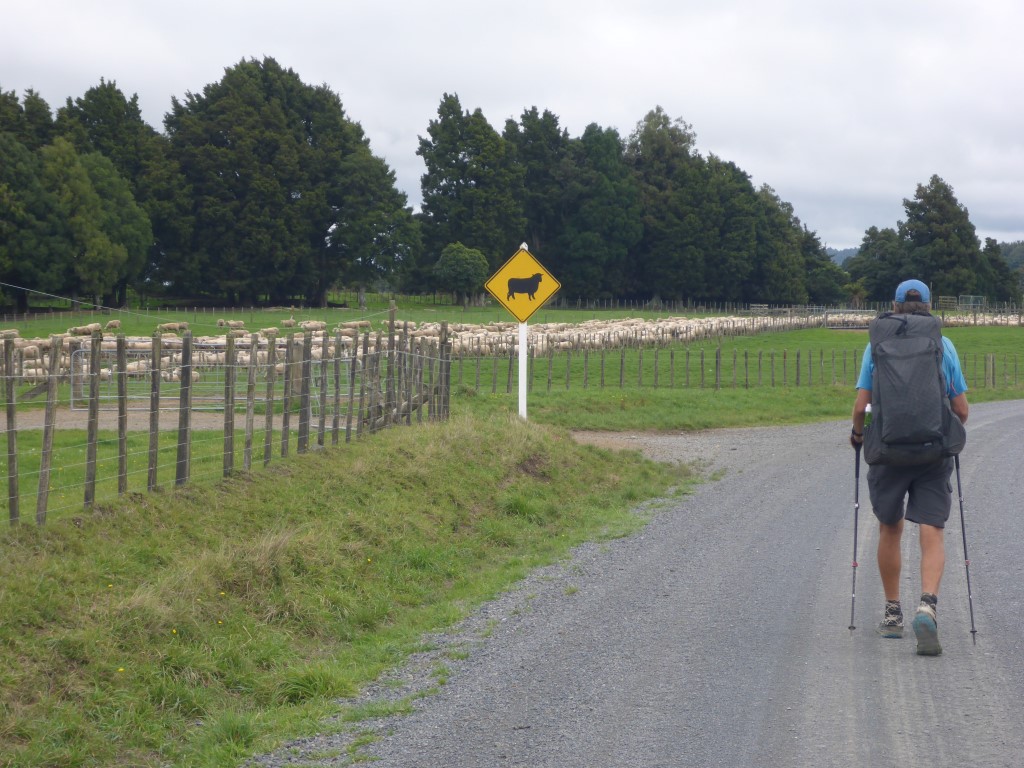
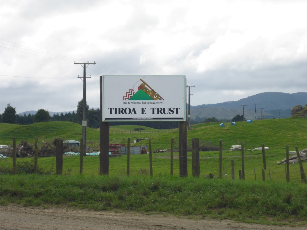
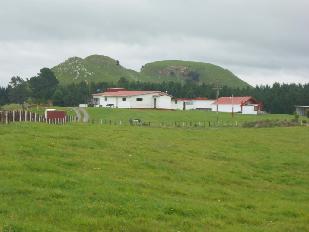
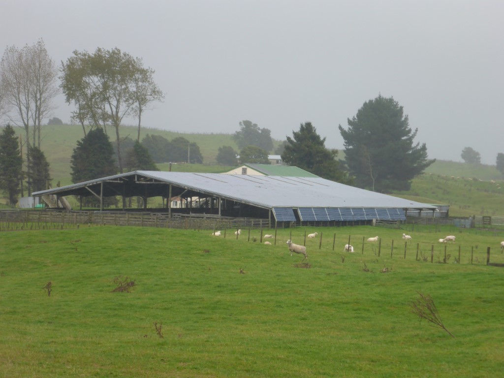
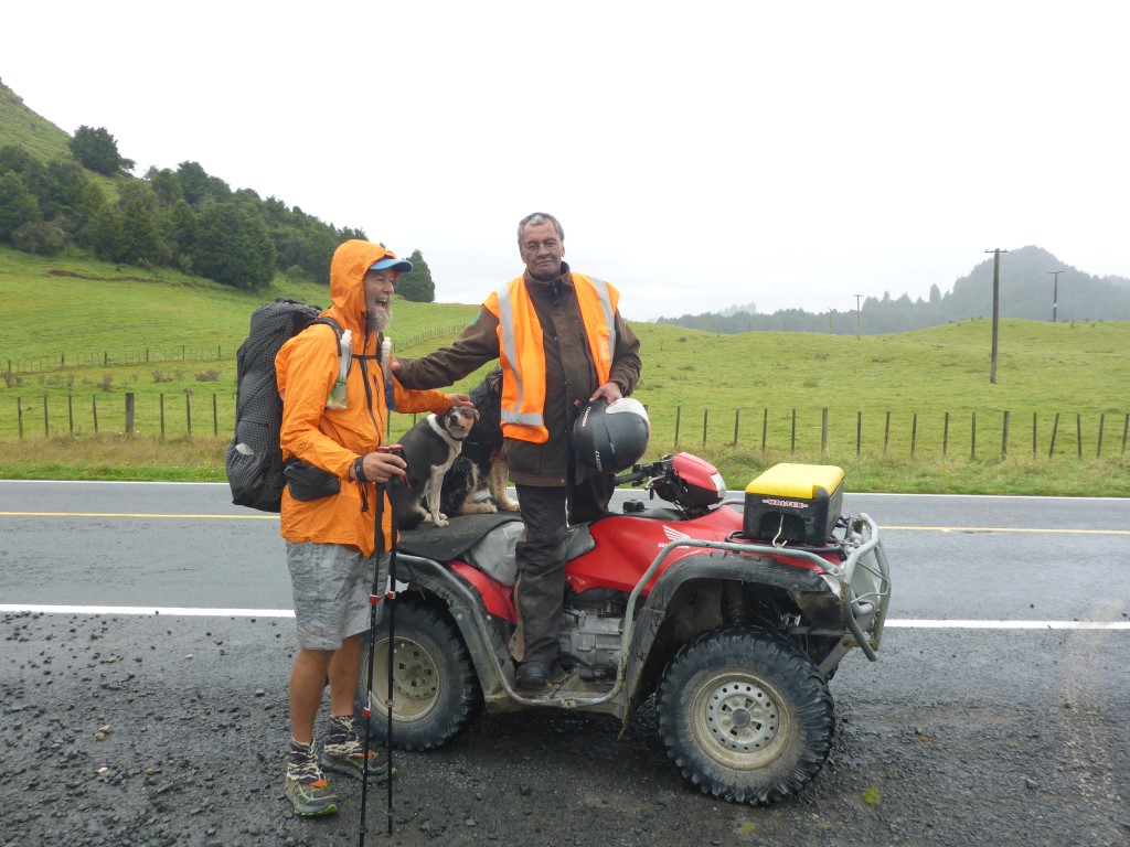
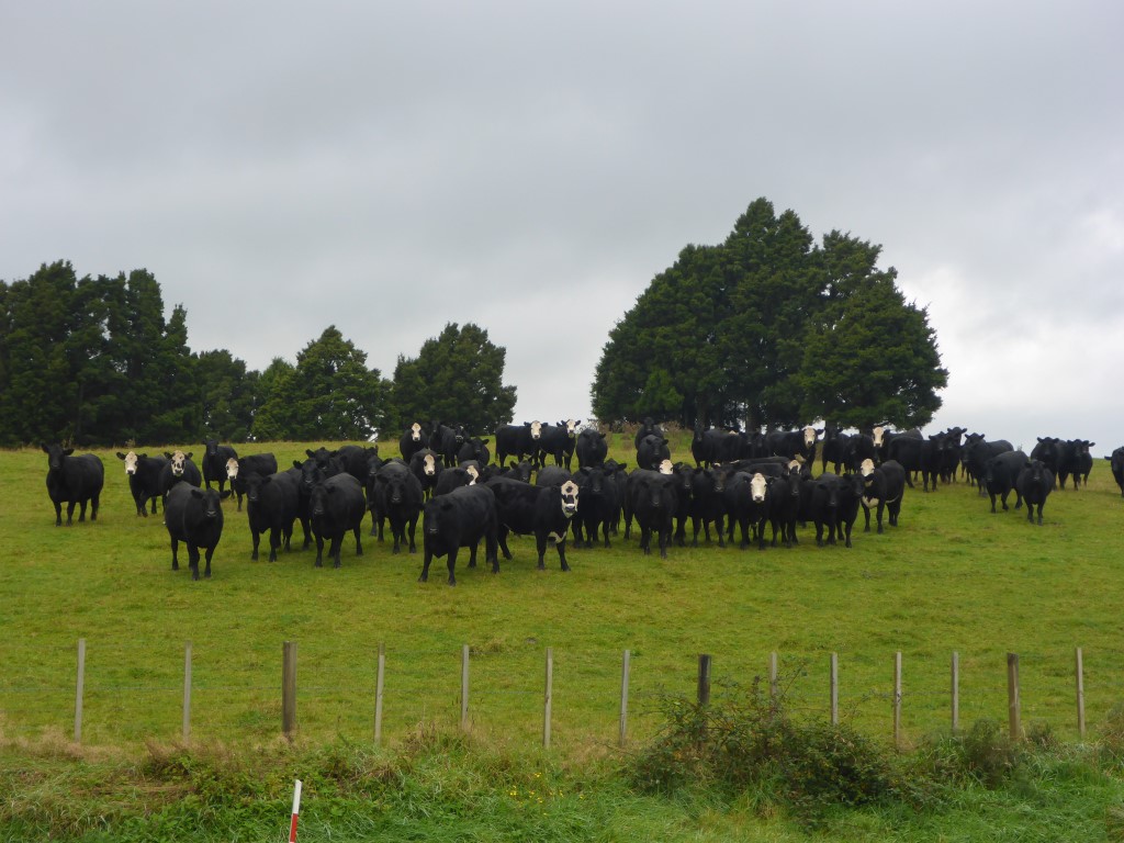
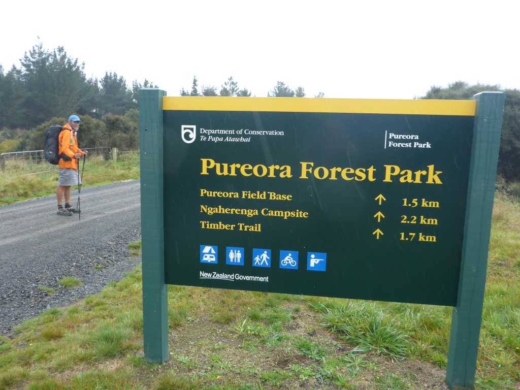
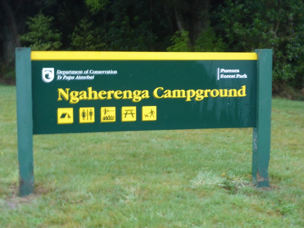
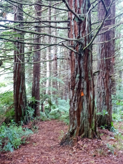
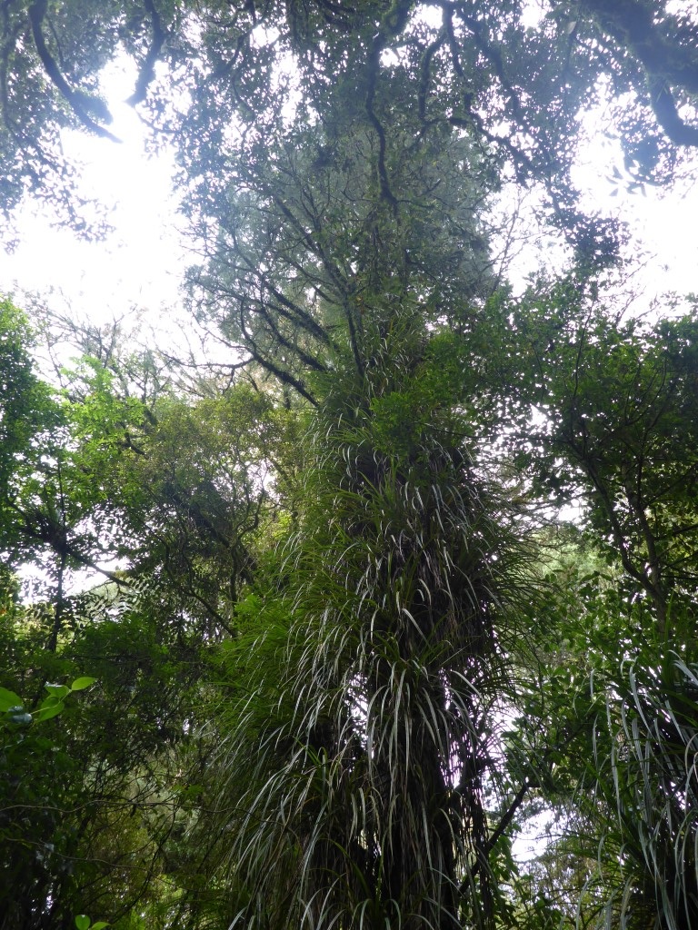
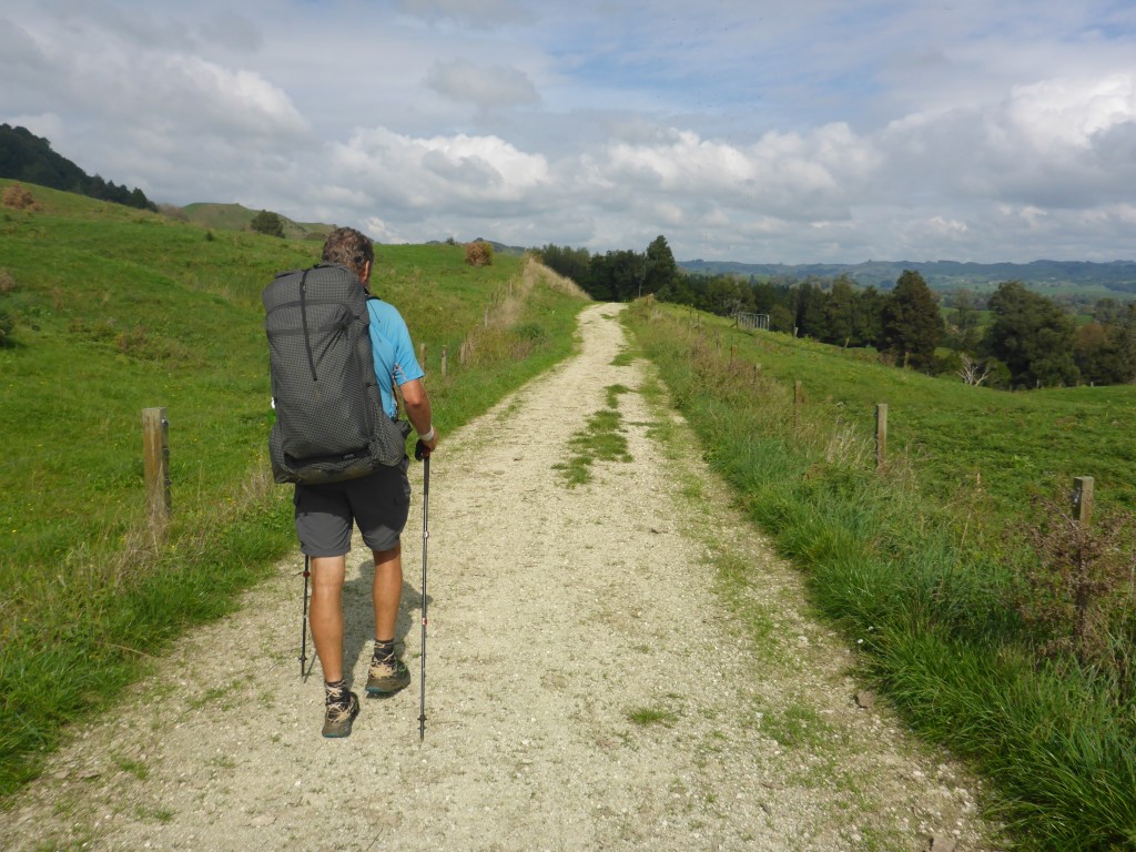
It was good having some company for a change but, as usual, everyone was in bed reasonably early. The pig hunters and us were both looking to head away at a reasonable hour in the morning! Today we were planning to get to Bog Inn Hut and didn't expect it to be an arduous day so packed up the tent site and set off about 0830. The GPS data for the day is here - as you can see, we ended up doing less than 18km today - but there was no way we would have made it comfortably to the next hut (Waihaha) so that was fine by us! We knew we were following the Timber Trail cycle trail for a fair bit of the way today so were expecting some nice walking conditions - we weren't disappointed! It's a well used cycle way - 85km to Taumarunui - with nicely-graded paths, extensive signage and good bridges etc. We are definitely not used to the luxuries afforded these bikers!! The signage was worth stopping to read - I thought I would include a selection below!! The forest has been in recovery since the cessation of selective logging (in the early 80's maybe?) and makes for a beautiful walk. The vegetation starts off in the lowland areas with podocarp forest dominated by rimu, mataī, miro and tawa. As you get higher you get into what DoC describes as montane forest with Hall’s tōtara, tāwheowheo and kāmahi. These forests grow on pumice and ash-derived soils - as a result of historic Taupo eruptions. So our day consisted of the initial 12km or so on the cycle trail before TA took us on a detour (of course!!) up the top of Mt Pureora. This was fairly steep and muddy in places - just to remind us that we are trampers/hikers, not cyclists!! Then it was back down Mt Pureora to rejoin the cycle trail for a couple of kms before turning off that trail (for the last time) and heading on the Hauhangaroa Track towards Bog Inn Hut. This, of course, was back onto advanced tramping track material :-). It was a slight detour off the track to get to Bog Inn Hut which we reached just after 1500 - so a relatively early stop. Bog Inn Hut is a classic!! Built in 1960 by the old Forest Research Institute, it is made of hand sawn timber and allows for the entry of lots of fresh air!! We had been warned of rats being a problem (although the DoC guy at Pureora said they had been poisoning) in the hut, so made sure our food bags were hung up out of reach (hopefully). As it turned out, we had no rat issues at all overnight - so a pleasant surprise!! We also got a small fire going - although a lack of dry wood, and no axe or saw (apart from my Leatherman!) meant that it was a fairly pathetic excuse for a fire and eventually it died out for want of fuel!! So it was curl up in the sleeping bags and go to sleep! For a bunch or reasons we were up early this morning and got underway just before 0630 for what turned out to be a 35km+ day. Today's GPS data is here. We knew today's journey was all on roads so had no concerns about the distance for the day, especially as it was not a lot of up and down, although it was a steady climb from around 200m where we camped to about 560m at Pureora. Because it was still dark when we set off, Belinda tried out her Finnish lights tied to her jacket - not that we were expecting to see much traffic at the start of the day!! Today was primarily through farming country, so not much bush. A large part of the farming was run by one maori incorporation - with the operation run as several separate units. The operation was very impressive. There is obviously a lot of money being spent on upkeep and the stock were all in excellent condition. We met a number of the workers at different stages of the day and stopped several times for chats with them - all part of the TA experience, especially when you are walking on roads!! It was clear that the staff were very invested in farm (we assume most were local iwi members) and were proud of the operation - they appreciated being complimented on the look of the farm and the stock. Talking with one of the bosses, they have a habit of offering passing TA hikers a place to stay in one of their multiple shearers' quarters on the farm. Indeed, as the day was a bit wet, we were twice offered the option of a free bed and hot shower!! Unfortunately, as we were keen on making Pureora, we had to decline. We also knew there was some heavier rain forecast to come in and were keen to try and get to Pureora before it hit, so we carried on. A bit of info on the trust that runs the farms we passed: "Along with its sister properties, Tiroa E, Waipa, and Wharekiri, Te Hape B makes up the largest continuous area farmed by one entity in the Waitomo district. Located 500m above sea level, it contains the head waters of three major awa; Waipa, Waimiha and the Mokau River, 1224ha of native bush under Nga Whenua Rahui covenant, as well as maturing stands of Radiata Pine.Today, 854 shareholders, all descendants of Rereahu, son of Raukawa, and father of Maniapoto, own the land which has a significant number of sacred sites within its boundaries including the Te Hape and Te Miringa te Kakara Marae. It was originally surveyed in the late 1890s with cutting rights to mill rimu, totara and matai until the mid-1960s. By the late 1950s Te Hape was developed by the Department of Maori Affairs and then handed back to the owners in 1974 encumbered with debt and with little experience in mainstream governance or business management. However the benefits of improved subdivision, pasture management and changes to genetics are now starting to show positive results. As a breeding and finishing unit, Te Hape B is the largest operation in the Trust’s 10,000ha land portfolio. It uses both leased and ancestral lands to run on average 31000 stock units of which are 62% Perendale cross sheep and 38% of which are cattle, mainly Angus." The rest of the road trip was uneventful and we ended up reaching Pureora Forest HQ around 1500. We had thought we might try and get a cabin because of the weather - I had sent an email from Te Kuiti but had not had a response (hard to check because of lack of cellphone coverage). We also had no cellphone coverage at Pureora so tried to make contact with the cabin people from a payphone at the DoC office. Long story short, the DoC concessionaire for the cabins is basically useless!! Some people in the cabins, as well as a visitor who had tried last year and this year to contact the people responsible. all said they were virtually impossible to contact. Even one of the DoC staff who came out to talk with us said they had had issues with the concessionaire themselves. Makes you wonder what it takes for DoC to dump them and get someone who actually knows what they are doing to run the cabins??! The rain came soon after we arrived, so we waited on the DoC office veranda for some time (all the while trying to sort out the cabin!!) to keep out of the worst of it. Finally the rain eased, and the cabin situation was clearly not going to resolve itself, so we set off 500m down the road to set up our tent at the nearby DoC campsite.
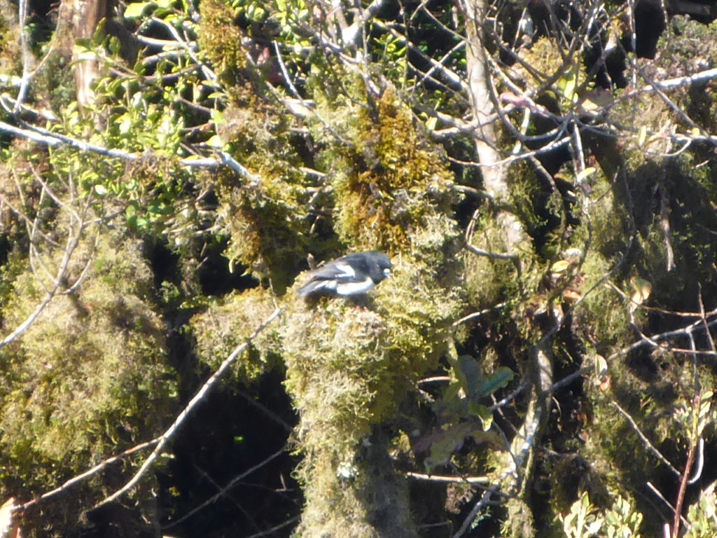
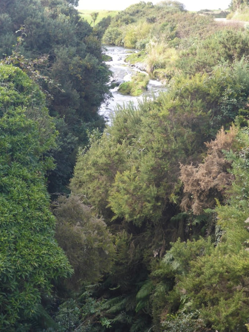
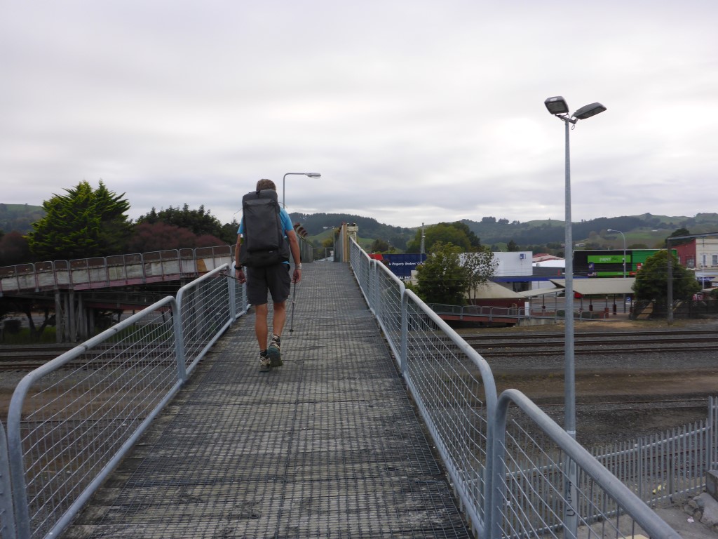
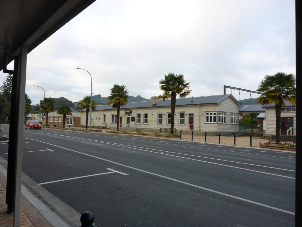
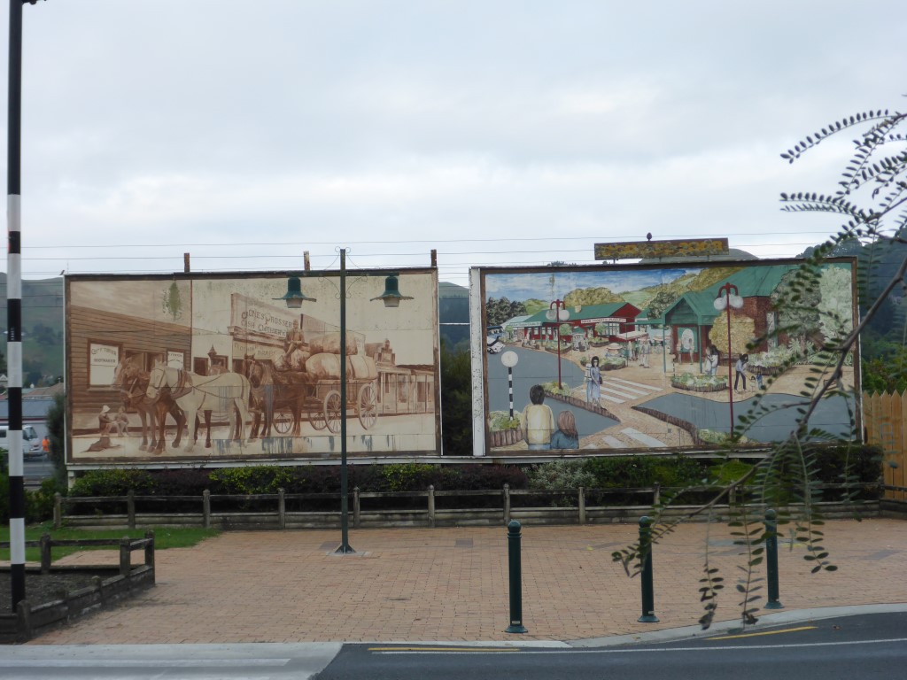
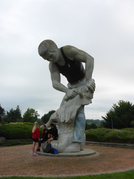
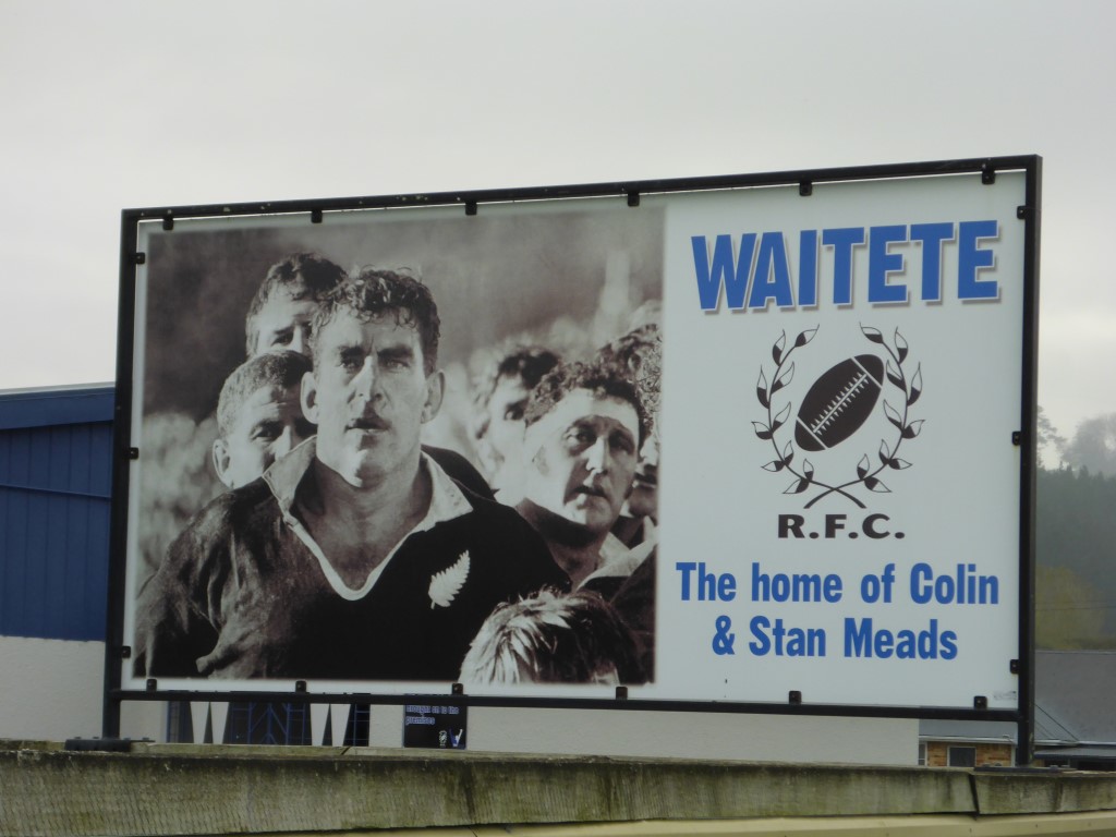
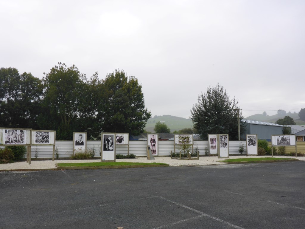
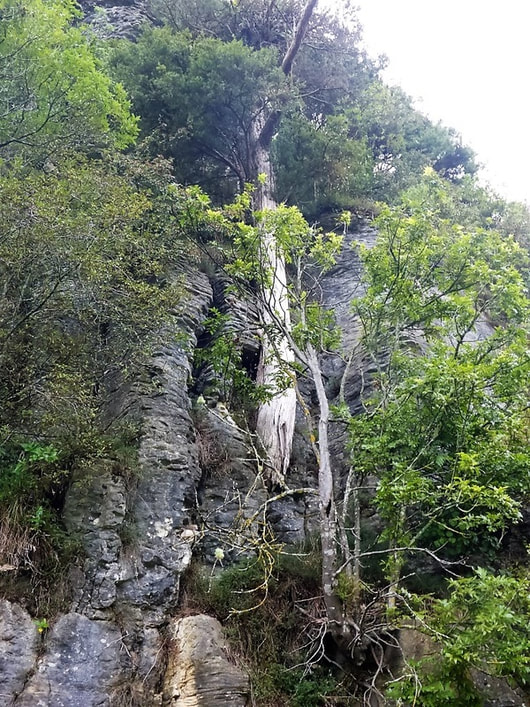
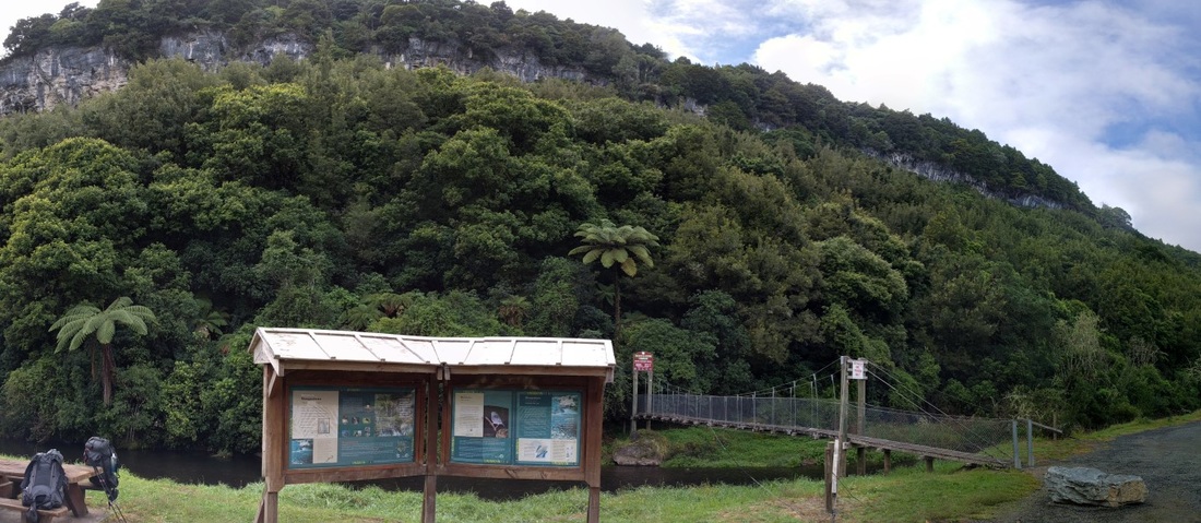
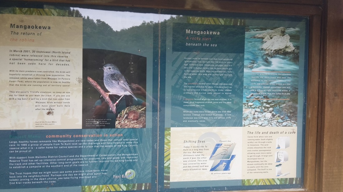
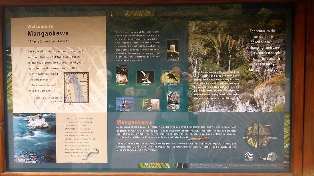
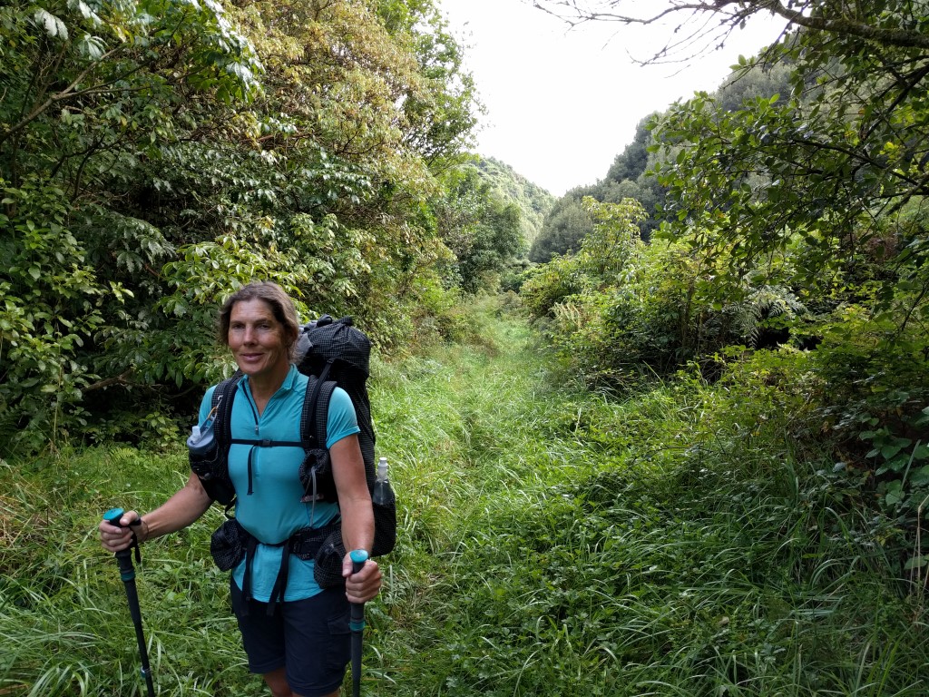
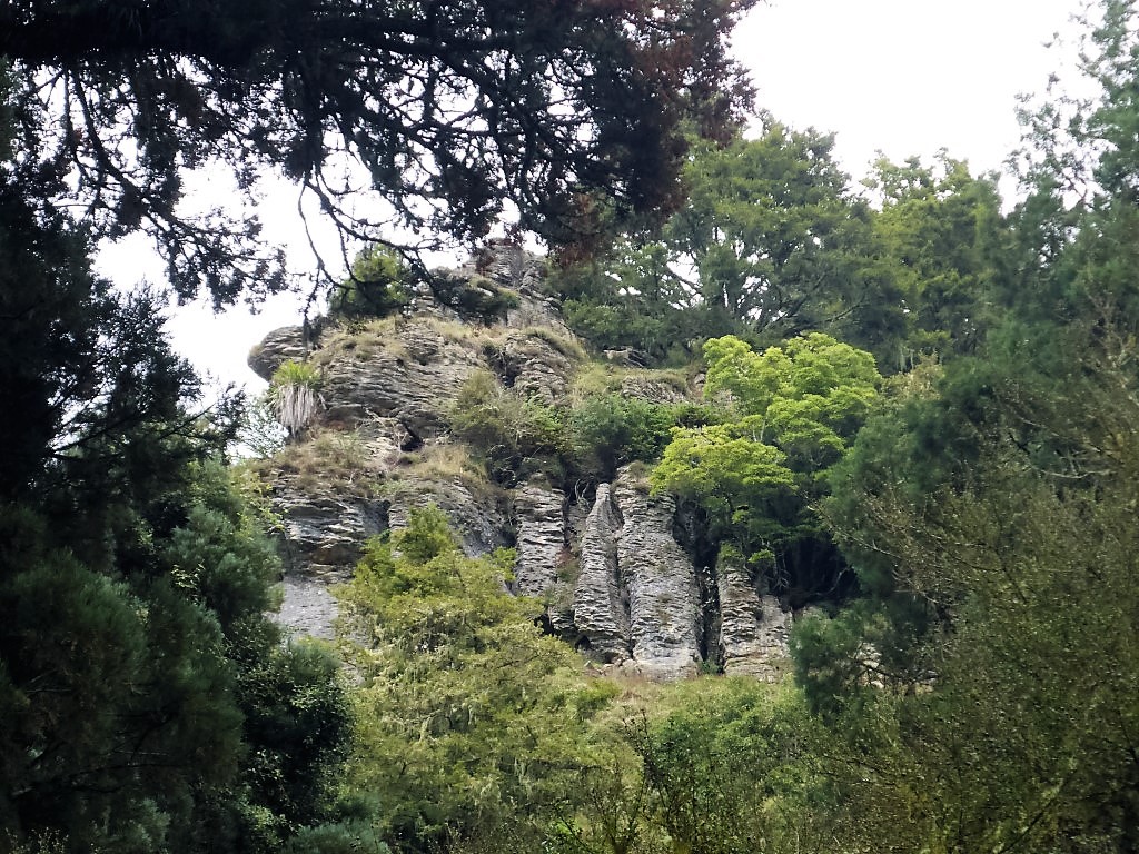
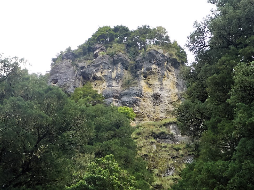
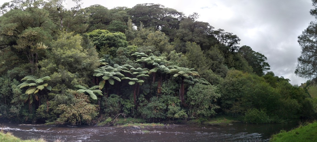
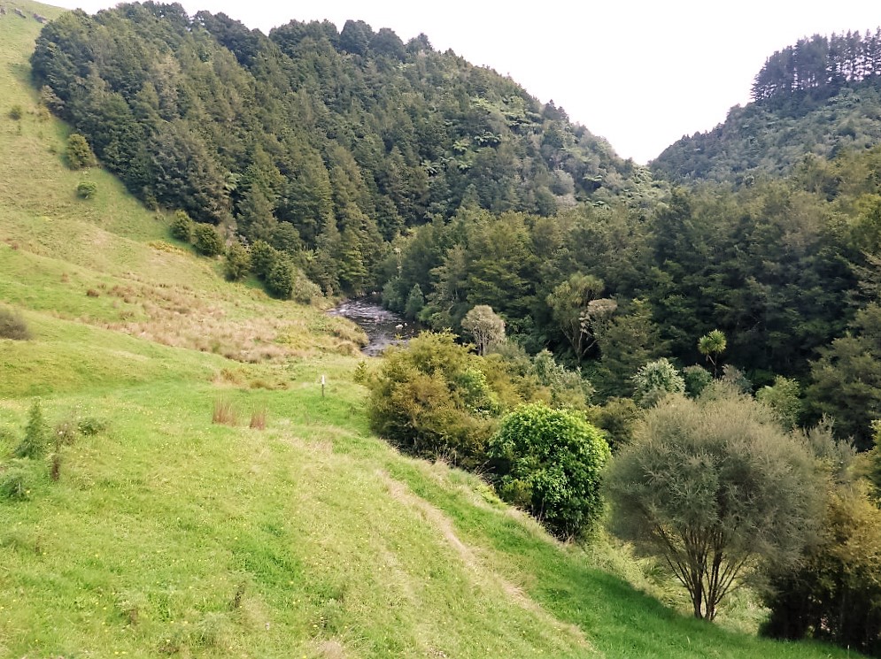
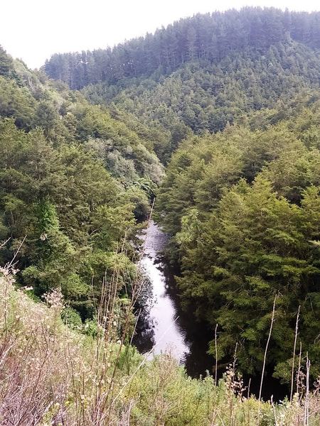
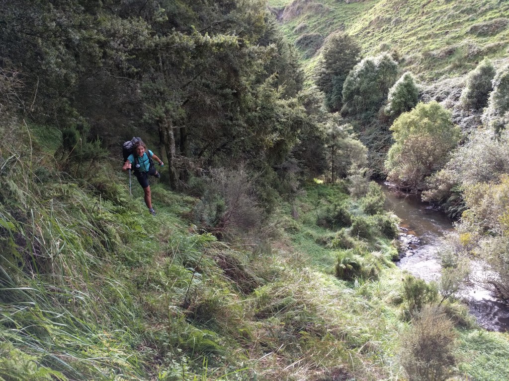
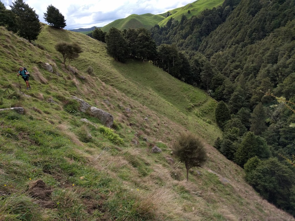
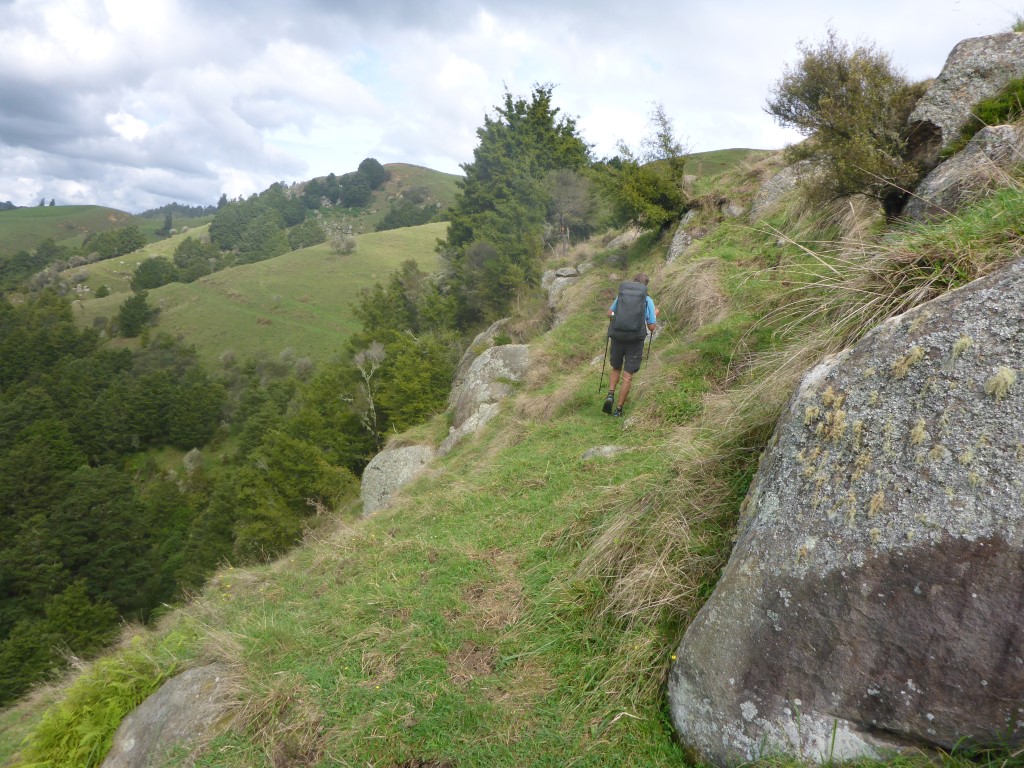
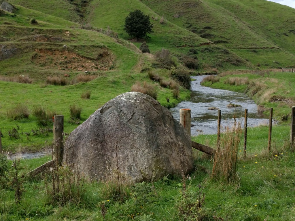
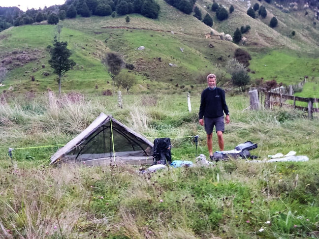
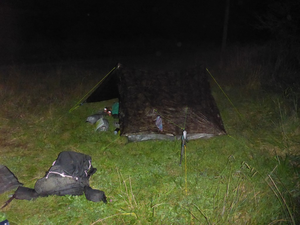
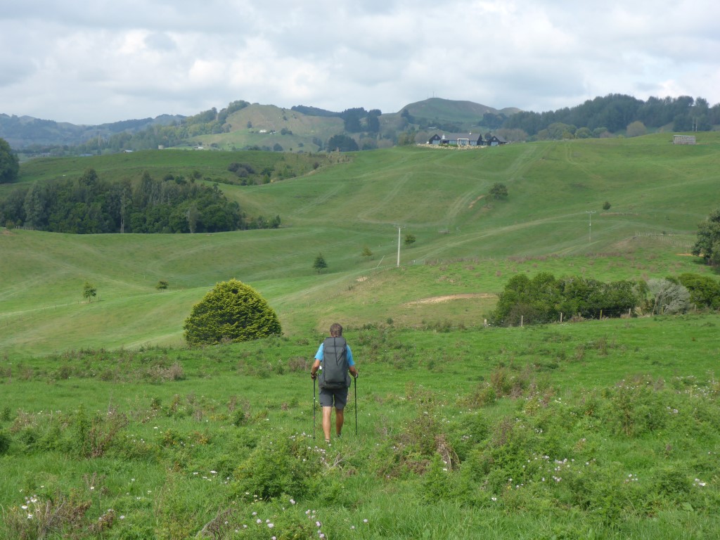
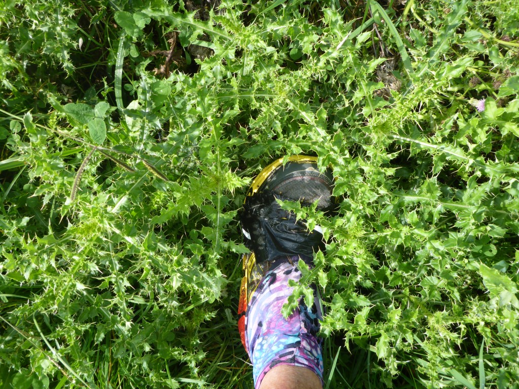
It was interesting to hear a fair bit of birdlife around the campsite - perhaps more than we had heard on our travels to date! We even saw a couple of kaka flying around in the tree tops. Not quite as friendly as the ones on Kapiti Island - but great to see!! Managed to get ourselves fed while dodging the worst of the rain and settled in for the night fairly early. It rained a fair bit overnight - but as usual that presents no problems unless you need to get out during the night which, with training, we are now not having to do very often!! Today we ended up doing almost 25km. Since it was mostly following (broadly) the river I had assumed not too much up and down. Surprisingly the GPS data shows we still ascended over 600m and descended about 500m during the day! GPS data for the day is here. We got underway about 0740 from the motel and headed over the pedestrian rail overbridge onto the main street - heading south out past the famous statue of the shearer (this is Sir David Fagan territory after all!). The first part of our long walk up the (mainly) western side of the Mangaokewa River took us behind the industrial area of Te Kuiti - a bit incongruous to be in light bush between the water and industry! Surprisingly perhaps, there was quite a bit of bird life! It is worth mentioning that, to get there, we also had to pass the Waitete Rugby Club, "home" of two of Te Kuiti's most famous sons - Colin and Stan Meads! Fairly soon we crossed over the river and up through an old quarry before dropping back down to the river. After a couple of kms in total (the last km through nice bush) we crossed over on a swingbridge to the Mangaokewa Reserve carpark, back on the western side of the river. From there we were to follow the river upstream for about 20km! The first 2.5km is a well graded track through lovely bush, including some big kahikatea. Beyond that the track came mainly out into farmland. This makes it sound easy - but it was far from that as far as we were concerned. Most of the river edge walking is ungrazed farmland with quite a lot of little blackberry and heaps of Californian thistles - and because of the dew our feet were pretty much the same as walking through a river! There was also a mix of boggy and stony bits to add to the mix, as well as little bits of bush! A mixture of a day actually describes it well, in a polite kind of way!! Interspersed with that were some steep little climbs where you couldn't walk by the river, as well as some dodgy little sidles around rocky faces that could also be wet/muddy and/or covered in long grass. We both found it quite hard going in places, even though there was really not a lot of ups and downs. The best part of all this walking was the stunning (almost?) virgin bush on the other side of the river for a fair bit of the way. A lot of it had apparently never been logged, and it certainly was impressive (when you found time to look at it!!). Probably the photos won't do it justice! Eventually we started to leave the river and came onto a farm track which became a race and then resolved into a road (Mangaokewa North Rd). This joined Mangaokewa Rd after 3.5km, but we stopped 0.5 km short of the intersection at about 1630 as we were pretty knackered and weren't sure how suitable the "bigger" road would be for camping. Our only issue with stopping after 24 km was that this would leave us a longer day of around 34km to Pureora tomorrow but, as it was all on road, we decided it would work OK. We pitched in a small area by a farm gate - it was close to the road but there were only two houses we had passed so we didn't expect much traffic! As it turned out, two cars passed us in the dark between about 1900 and 2030 and that was it. The bliss of real, remote, rural NZ!!
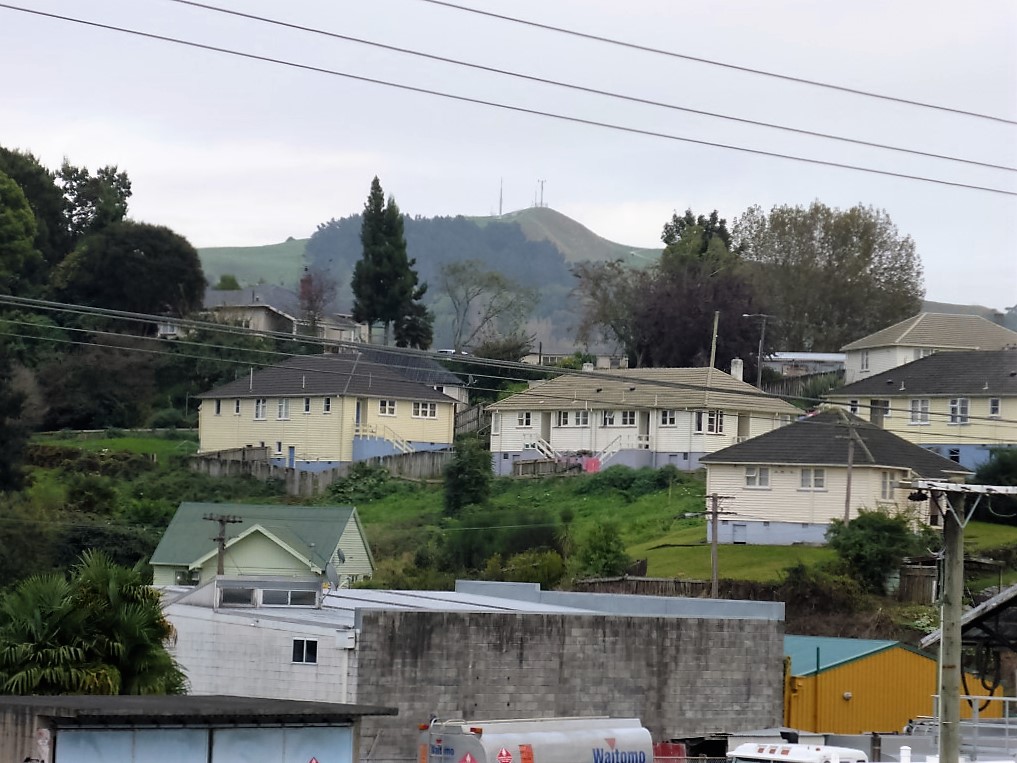
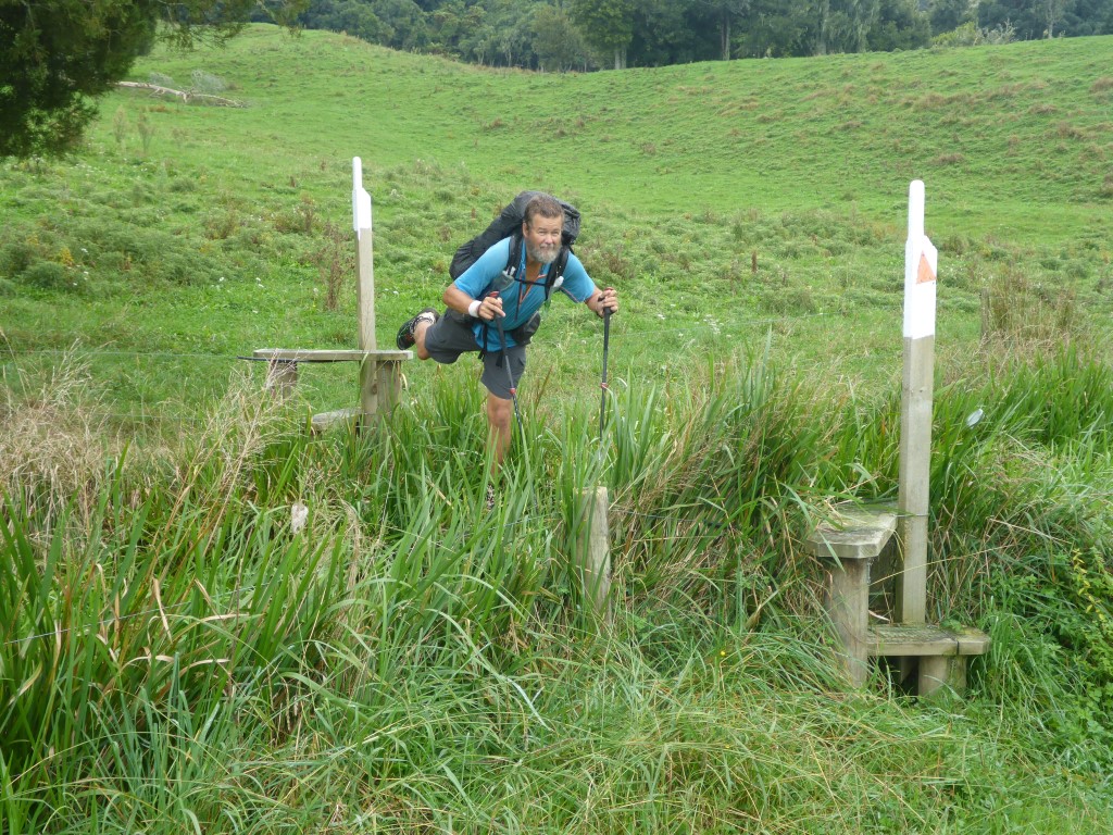
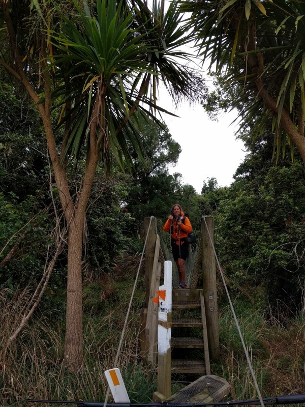
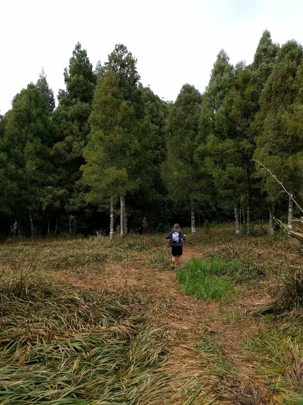
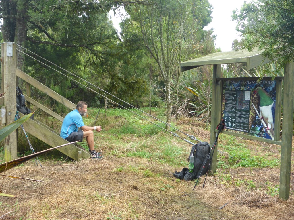
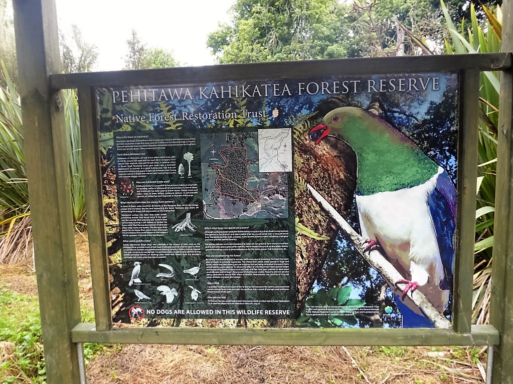
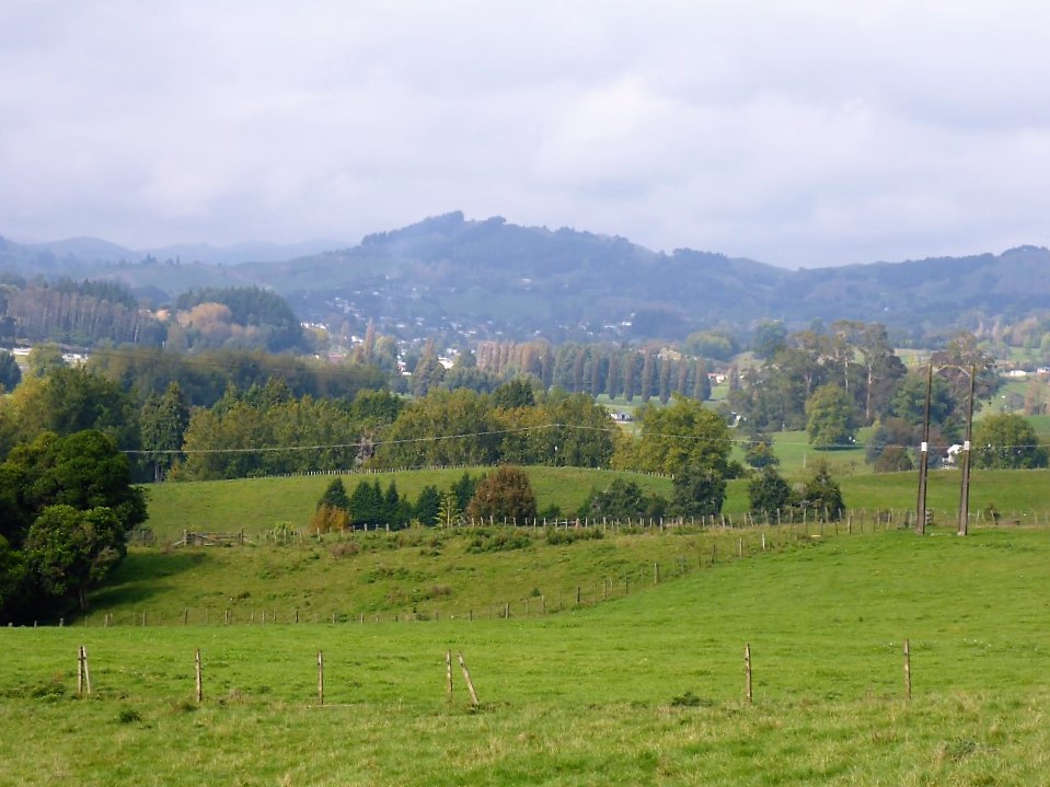
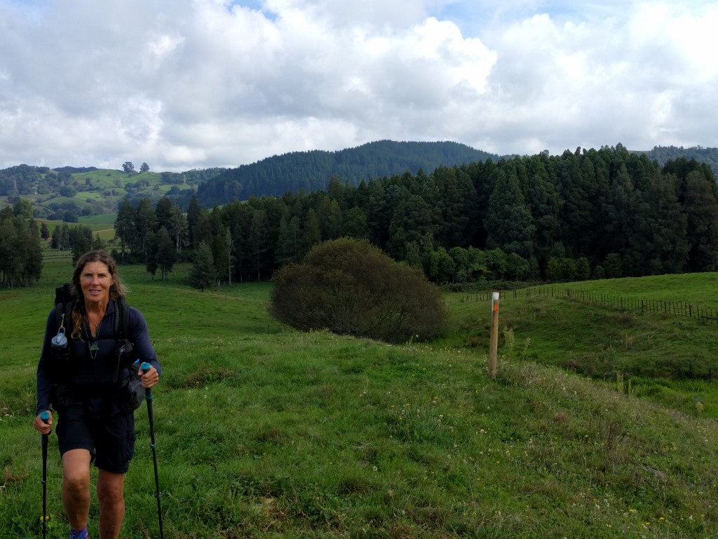
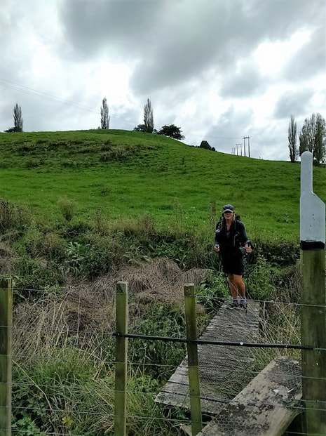
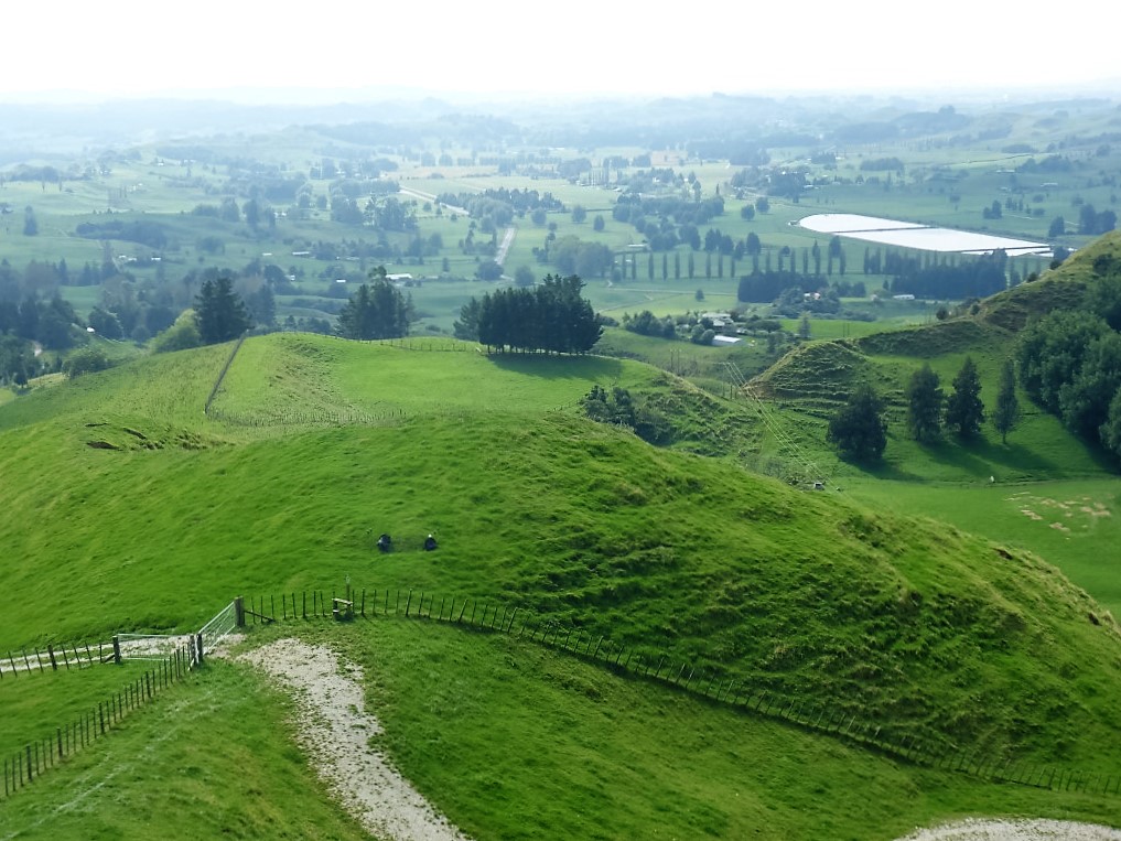
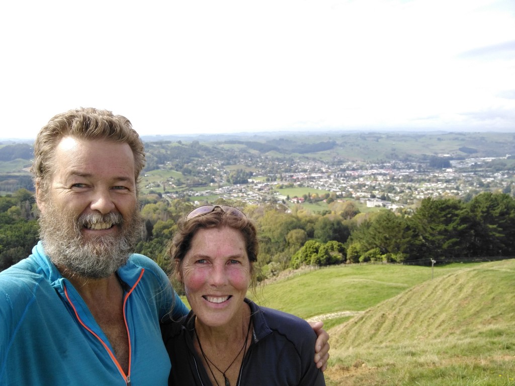
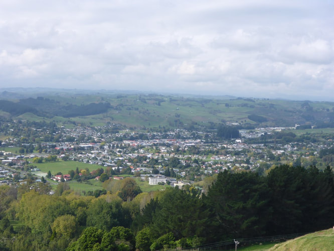
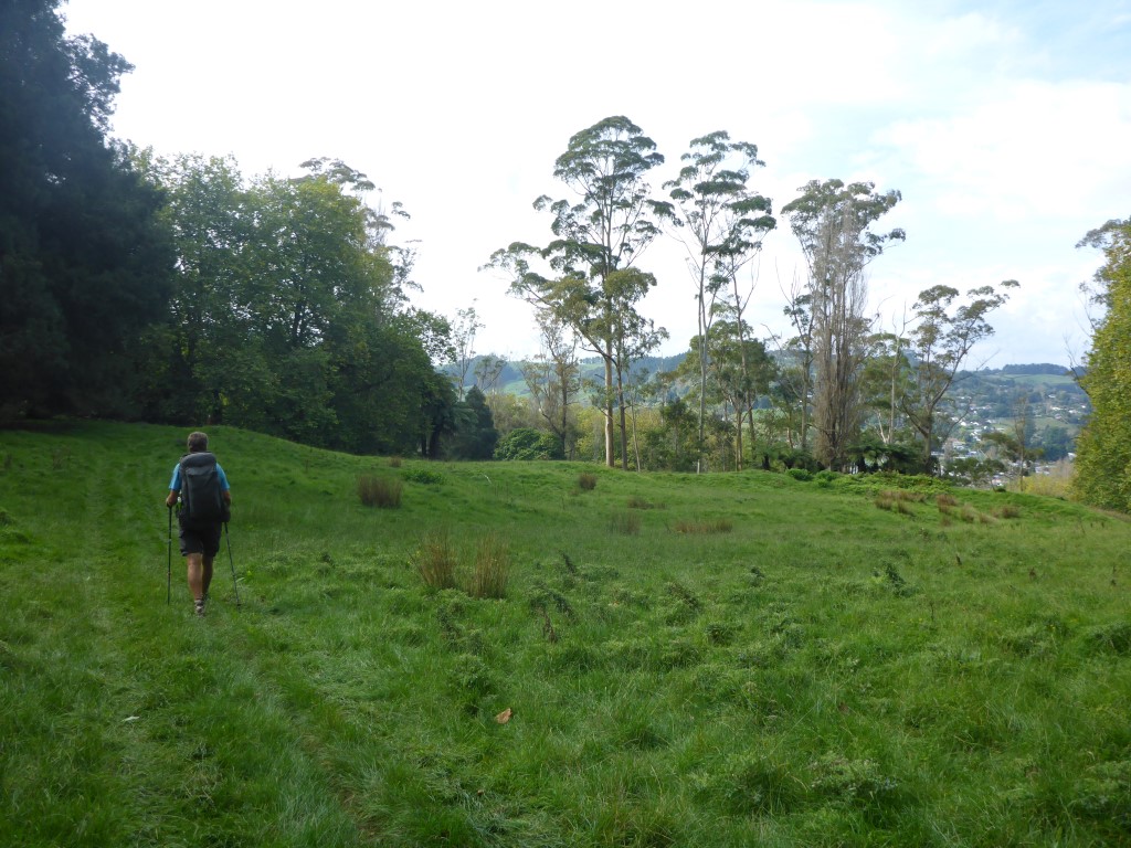
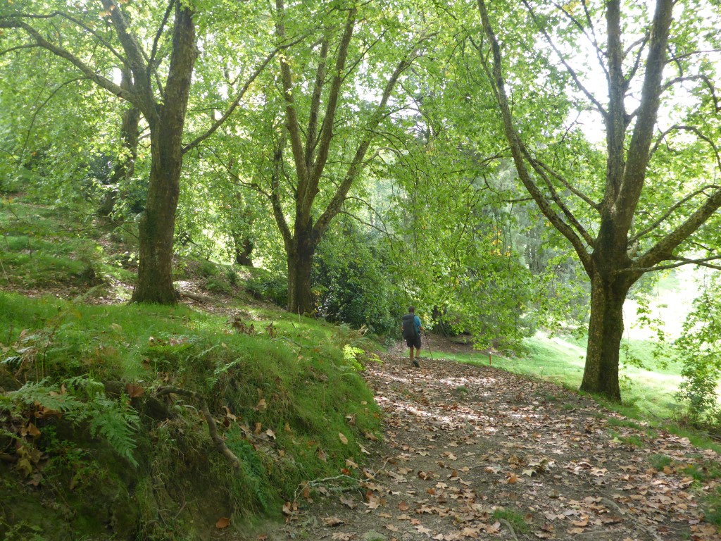
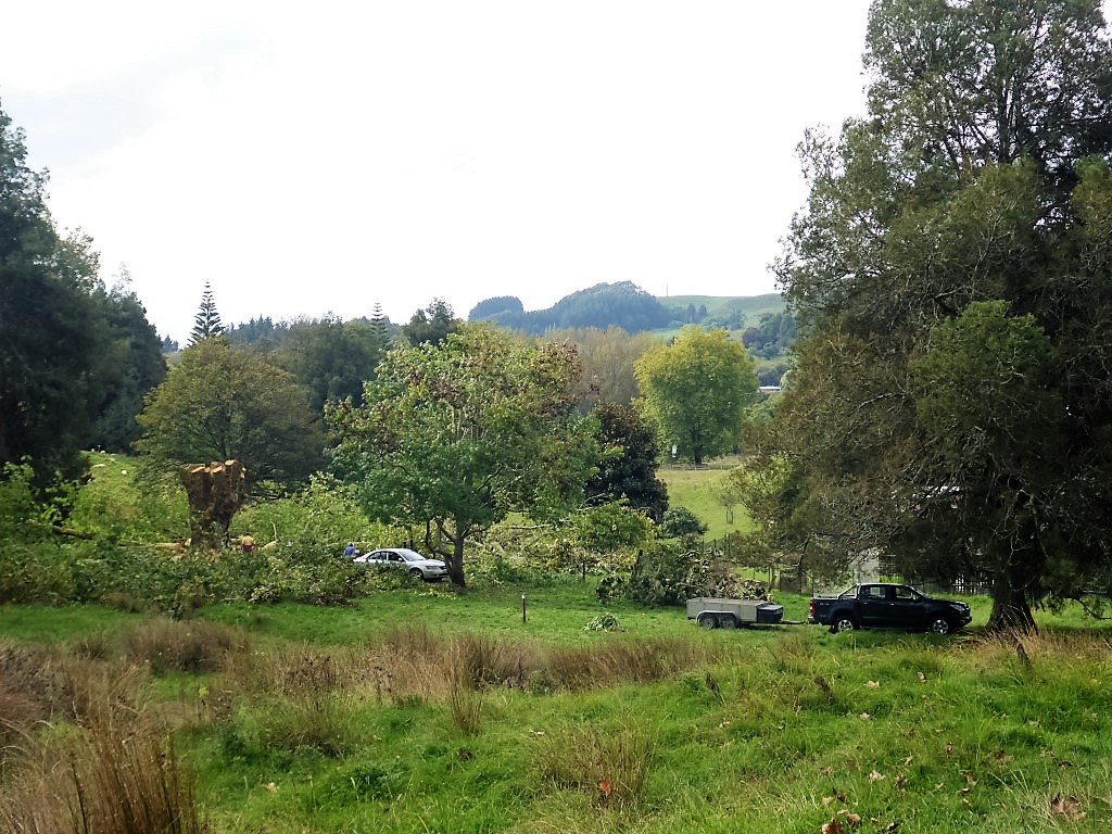
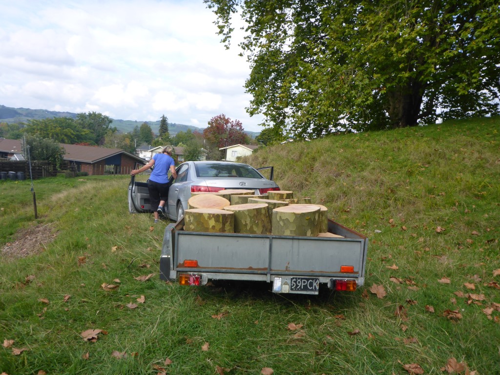
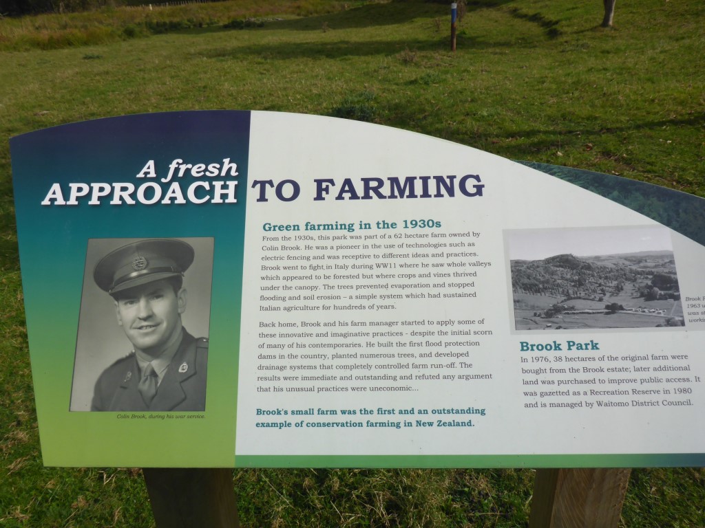
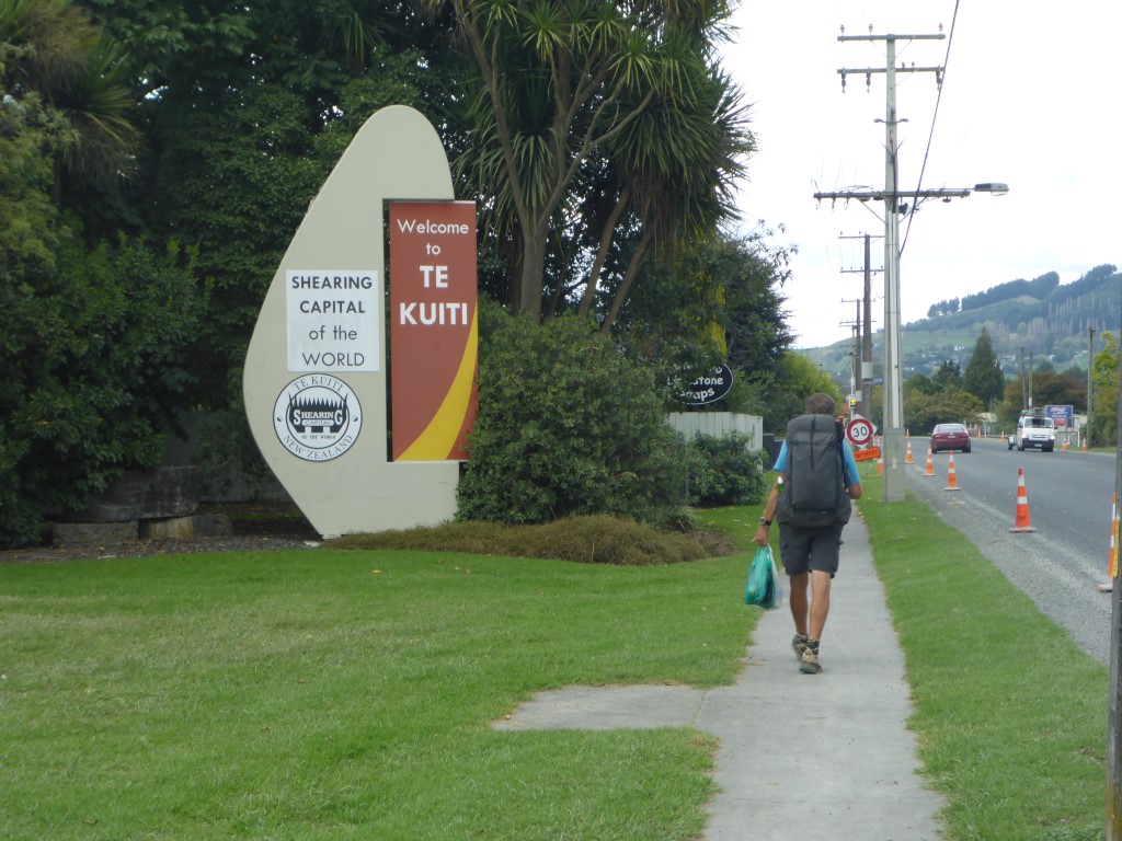
We knew it was a relatively easy day today so there was no real rush to get away. TA says it was 16km but we ended up doing over 19km including a detour up to the 263m trig just before descending into Te Kuiti, and to do some supermarket restocking once we hit Te Kuiti. You can see this on the GPS data for the day, which is here. We set off just before 0800 to head a short way east down the road out of Waitomo before turning south onto Fullerton Rd. I had paused the Suunto at the campsite and forgot to restart again until about 10 minutes into the walk so the first bit shows a straight line rather than the actual walk down to Fullerton Rd!! You'd think my memory would be better by now!! After the first km on the road, we branched off onto some farmland for a bit of "up and down" for another km before heading up on a narrow track into some scrubby hills for yet another km before coming out into yet more farmland!! This was a short stretch of farmland before heading into another 2.5km or so of hills covered in scrub / newly regenerating bush. The link above to the Suunto GPS data provides a good map (if you turn on satellite view) of the type of territory we were going through. Indeed, I have to go back to it to remind myself (along with photos) what we went through, as I am writing this 2 weeks later!! Then it was mainly on farmland until after about 6.5km we crossed a small swingbridge into the Pehitawa Kahikatea Forest Reserve. It's incredible how many of these little reserves are dotted around the countryside in random places that you would never find out about unless you were walking past. I guess that is part of what Te Araroa is all about. We stopped here for a bit of a smoko break before heading off through the reserve - only about a 700m walk in total. After that it was up and down over some lovely farmland, including a walk down yet another farm airstrip, before getting to a trig which was about 2km from the main highway in Te Kuiti. As noted, we took a side trip up to the trig (the trail heads past it about 25 vertical metres below) for some great views down to Te Kuiti and of the surrounding countryside. Then it was down the hill and briefly into some pines before meeting up with one of the trails in Te Kuiti's Brook Park Reserve. This reserve is a great asset to the town. There is a photo above showing an information board telling about the guy that originally set it up. We chatted briefly about TA to a couple of locals who were collecting firewood from a large London plane tree that had come over and was being chopped up. A very pleasant walk through this reserve saw us emerge onto SH3 towards the north end of town. We had to take a short detour north here to the New World supermarket for a restock - us walking around the supermarket is the "birds nest" looking GPS trail showing on the map at the north end of town!!! Then it was a 1.5km hike, with our shopping bags as well, down to the motel we had booked for the night. This enabled us to repack all our food supplies etc as we now had a 6 or 7 day stretch through to Taumarunui, via Pureora with no resupply options along the way.
Today was a planned rest day and we had arranged with our friends from Te Awamutu, JP and Sue, for them to pick us up from Waitomo for a visit to their property down in Mokau (Taranaki), which is just over an hour away from Waitomo by road. Got picked up from the campsite about 0930 and headed for Mokau. They have had the property (I think about 70ha - I'm sure JP will correct me if I'm wrong!) for several years now and have been working to build a habitable "shed" for getaways. Its a long thin block that fronts SH3 and goes back east for almost 3km I think. The front has some plantation forestry and right out the back it turns into some really (I mean really!) rugged bush clad "hills". Even JP hasn't been out to the back boundary! We had a great day exploring parts of the property with JP and Sue (I had been there before, but not Belinda) with a late lunch of fish and chips from the Mokau store thrown in for good measure!! It's great to see the progress that has been made with the place since I was there last (planning where the "shed" might go!). Before heading back north, we stopped for a walk on the beach. It was a pretty calm day in the Tasman and reasonably mild, so a pleasant day for a walk. A huge thanks to JP and Sue for taking us down and hosting us for the day - it was greatly appreciated :-) - we even got to do some walking for a change (?!).
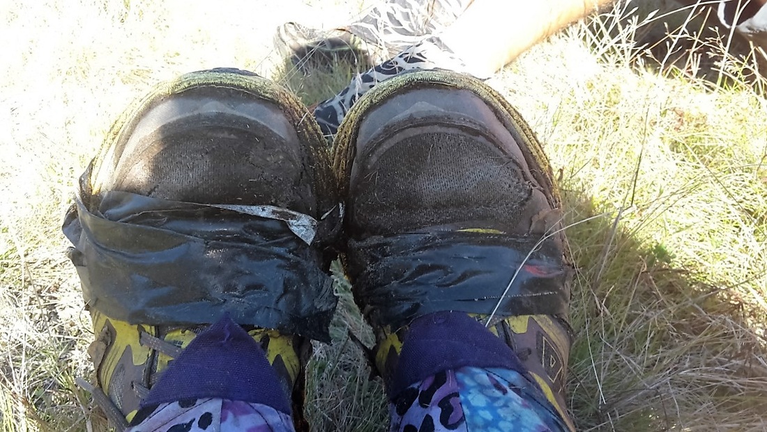
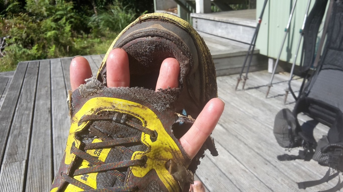
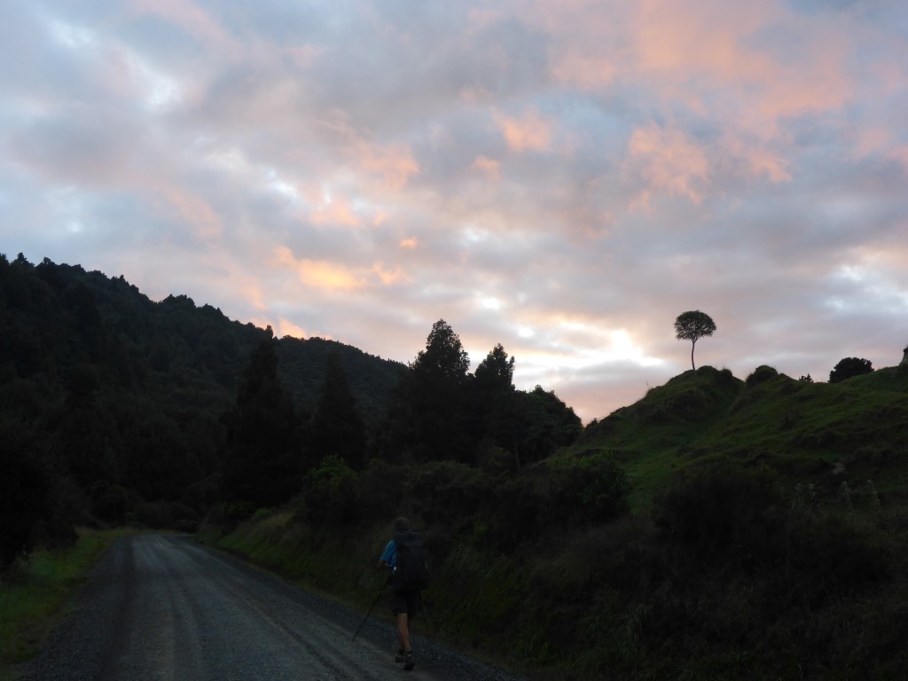
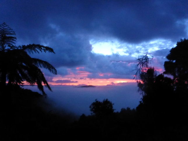
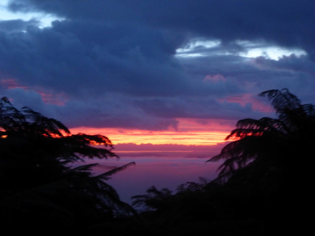
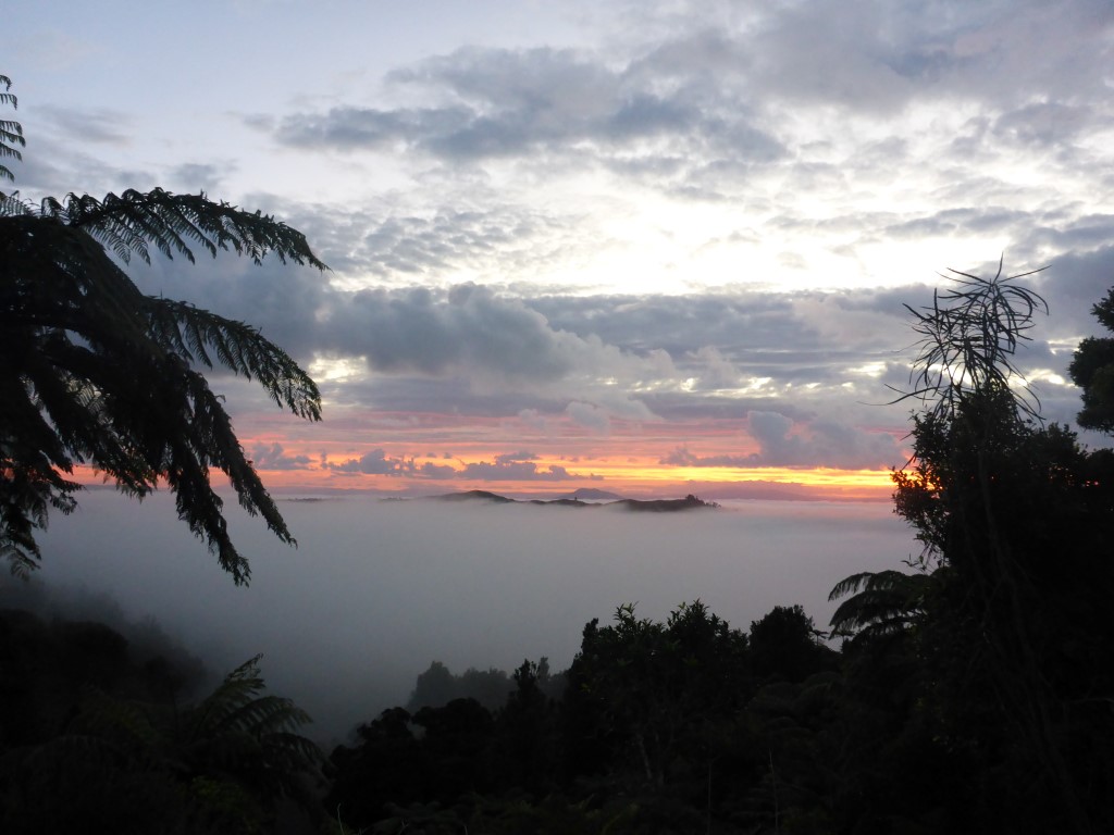
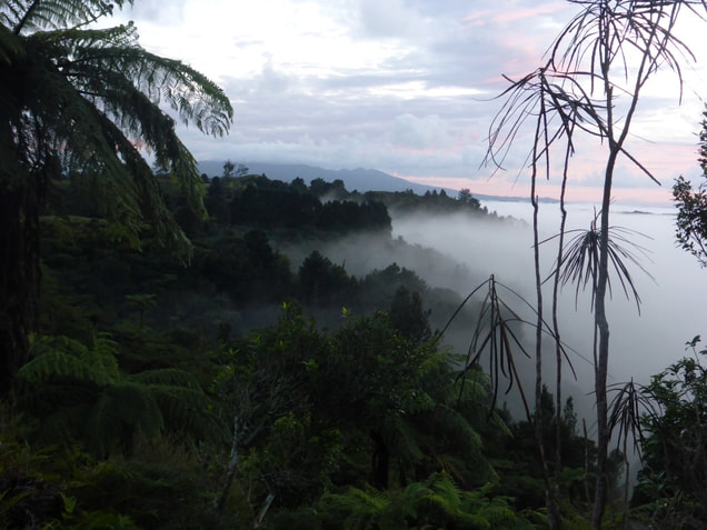
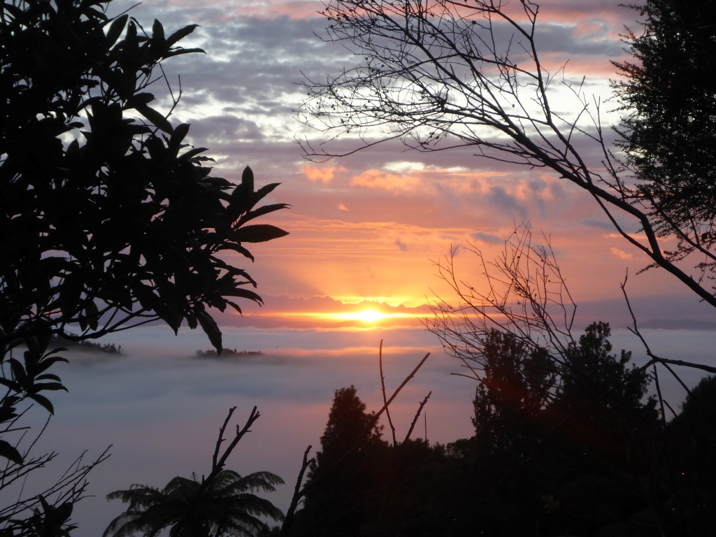
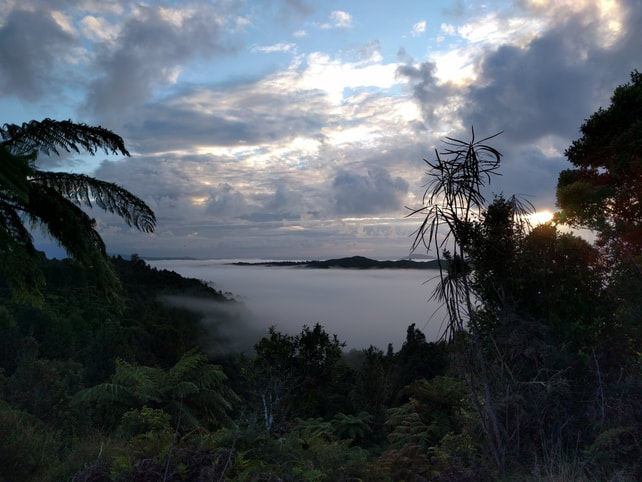
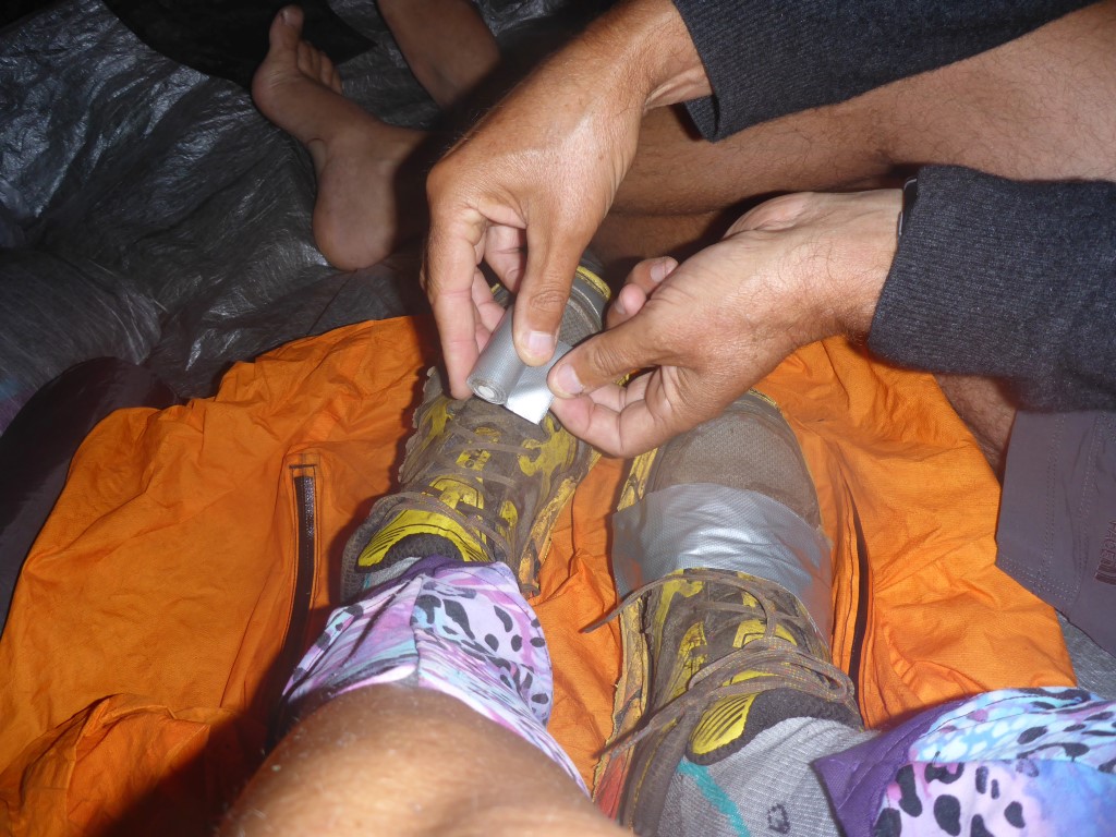
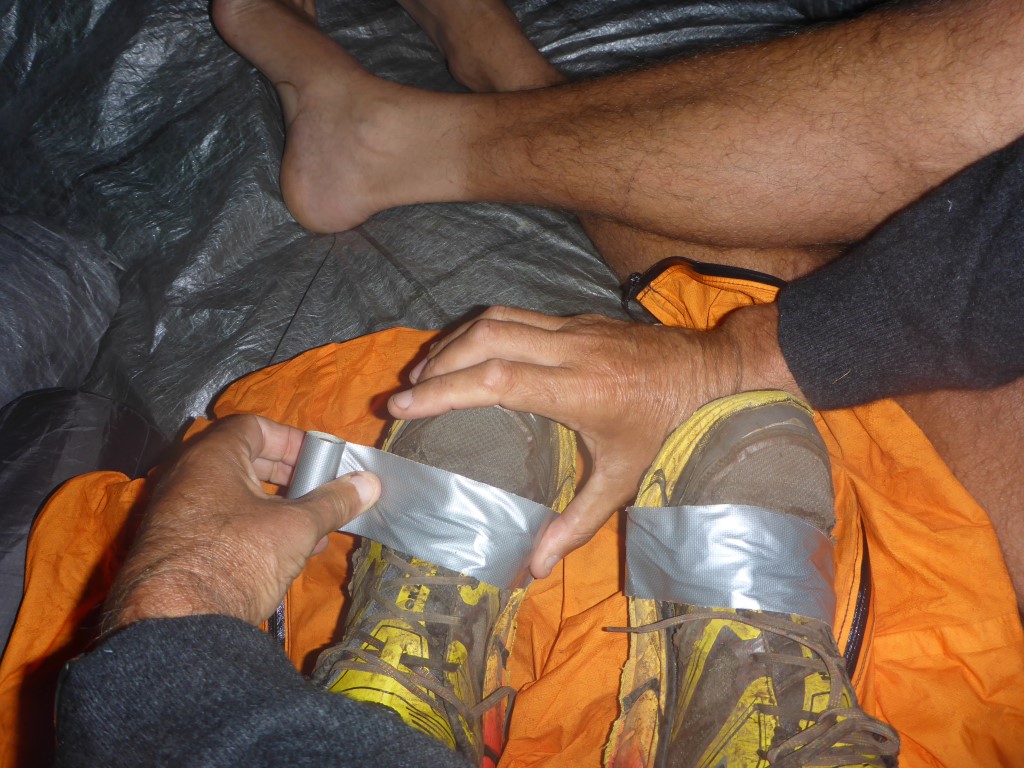
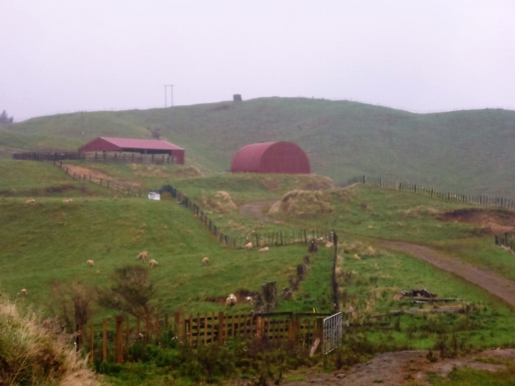
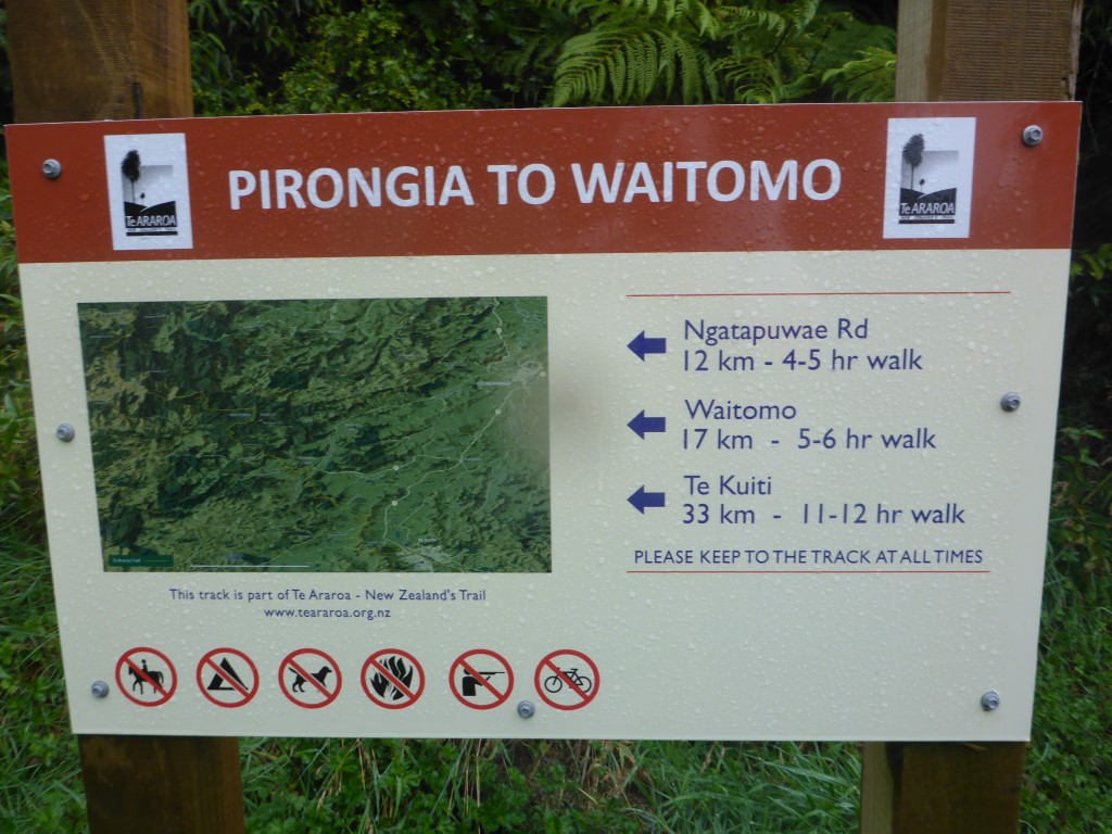
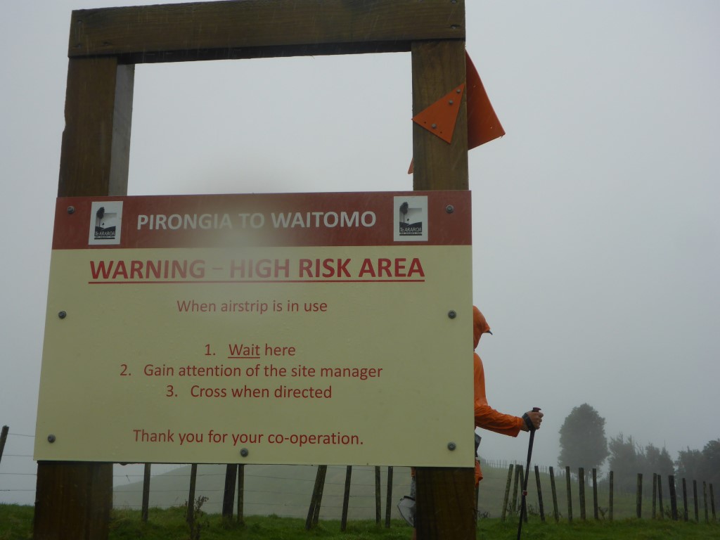
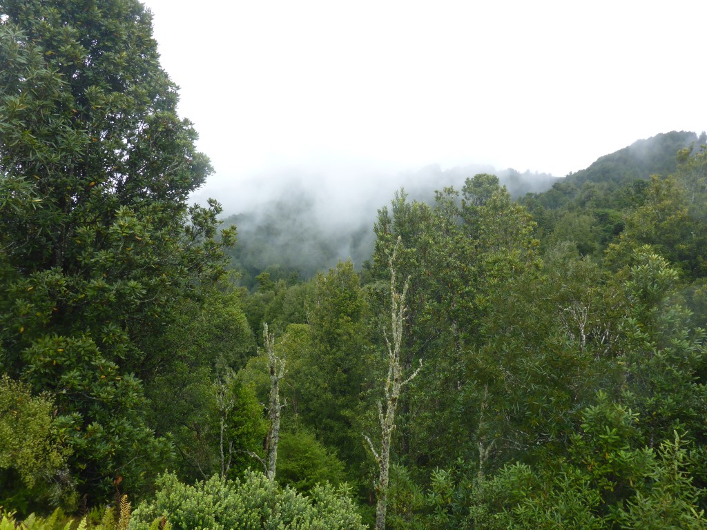
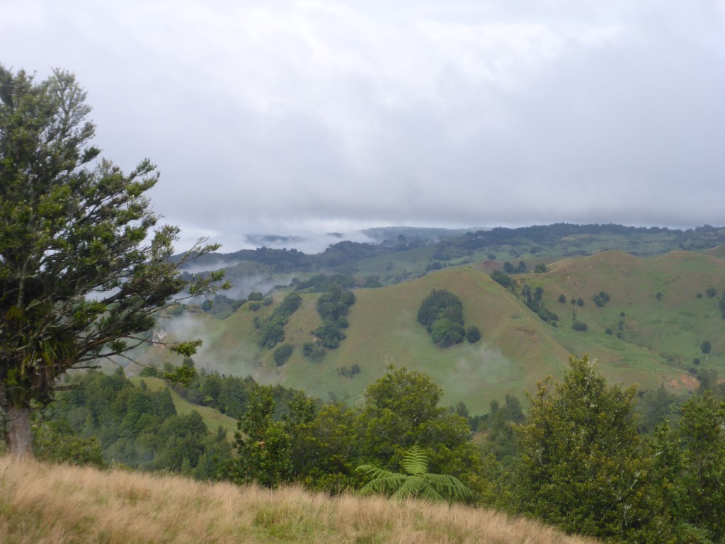
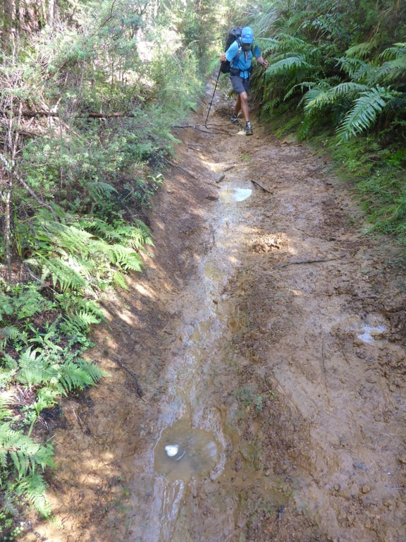
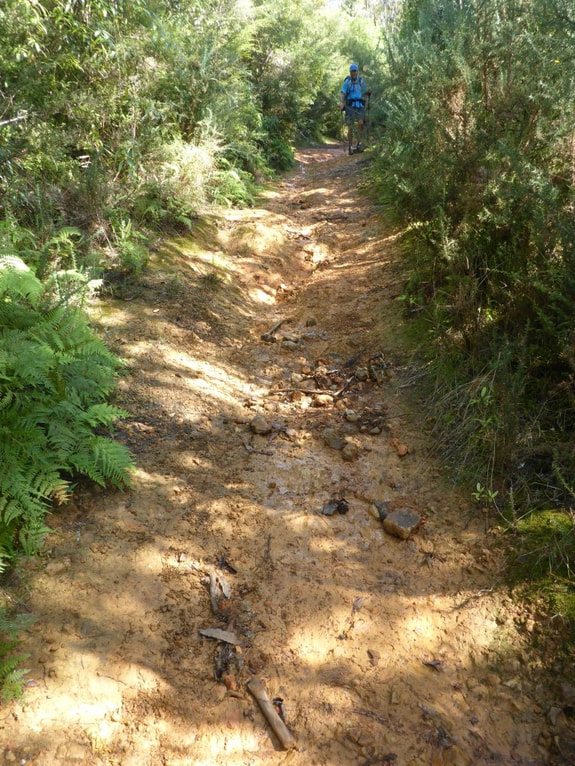
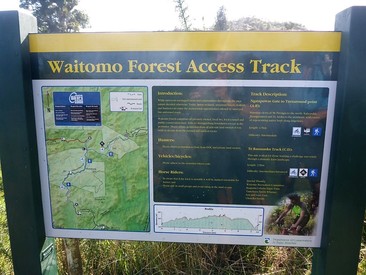
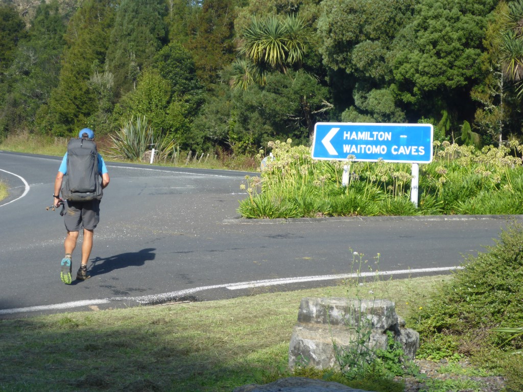
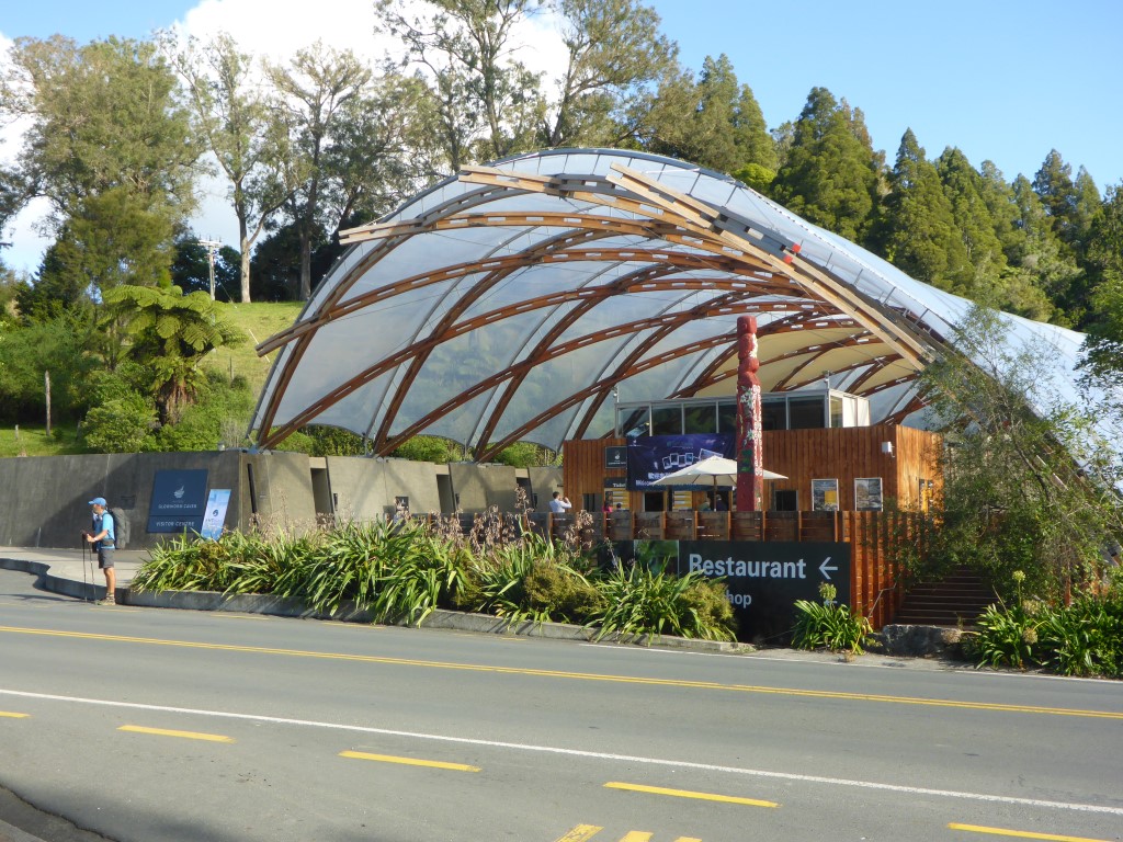
After a pleasant day, we were dropped off back at Waitomo in the evening where we had a light snack for dinner as we were still fairly replete from the F&Cs earlier in the afternoon. We were up early again and away by 0700. Today was a 27km hike through to Waitomo village - the GPS data for the day is here. Belinda's shoes had started to come apart at the front so we spent a little time doing some running repairs with duct tape! Technically our first 1.5km were still on Gayne Rd but farm track through scrub and bush would describe it better :-). It was a lovely sunrise this morning, with low cloud/fog in the valleys below us as we started. It was a little wet, but pleasant walking conditions nonetheless - heavy dews again meaning that feet would be wet regardless of precipitation! The walk was a mixture of farmland, scrub and a little bush, including yet another farm airstrip to pass through, until around 1130 when we headed back into more bush for a while. After a bit of bush we got onto a network of old forestry tracks that also appear to be used by horse riders and mountain bikers. These clay tracks tended to be quite badly washed out so going up and down was not easy, especially as it was a little damp which made things pretty slippery in places as well! Occasionally we were directed off these clay tracks through shorter bits of narrower bush track with little DoC marker posts saying "not suitable for horses"! A little more bush walking then saw us emerge at the south end of the Waitomo Forest Access Track onto a gravel road. We followed the gravel Ngatapuwae Rd for a couple of kms until we met up with a sealed road for the final 3km stretch past the Waitomo Caves to the Waitomo Holiday Park in the village itself. This was a gradual downhill, dropping about 160m over the distance to Waitomo village. We had booked a cabin for a couple of nights - with a planned rest day tomorrow it also gave us time to catch up on washing etc this afternoon. We had intended to pig out on pizza but for some unexplained reason the pizza place was closed (its part of a local backpackers so very odd that it wasn't open - especially on a Friday night), so we retired to Curly's Bar close by for a pub feed and drinks before heading back to the relative comfort of our cabin for the night! |
AuthorBelinda and Anthony (aka Tony) Hadfield made a decision, in their late 50's, to do something a "bit different" and walk New Zealand's 3000km Te Araroa Trail over summer 2015/16 - although updates will now tell you that this plan will take longer now!!. As the old saying goes - "don't leave home 'til you've seen the country"!! Archives
January 2018
Categories |

 RSS Feed