|
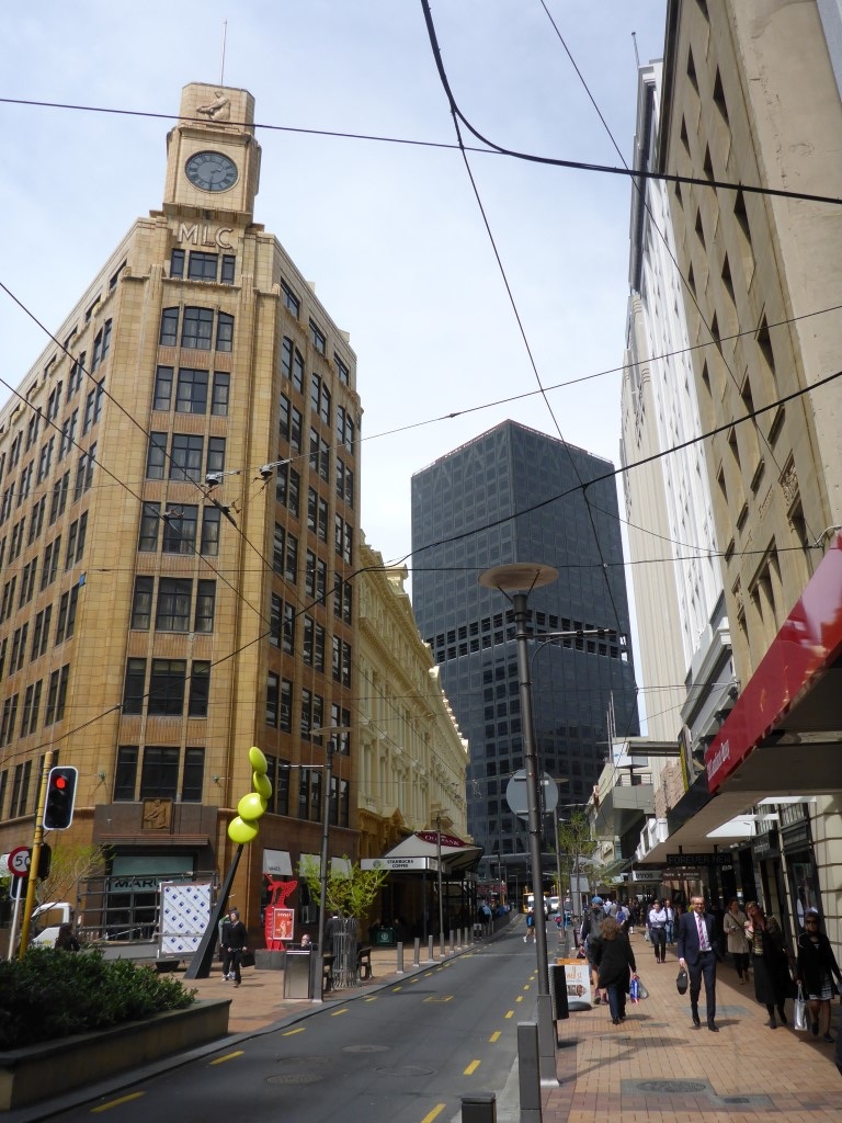
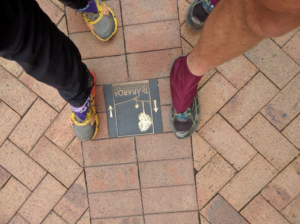
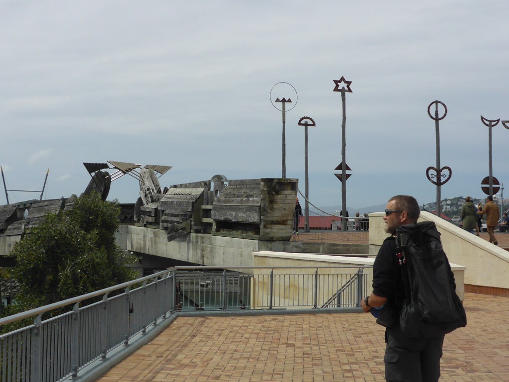
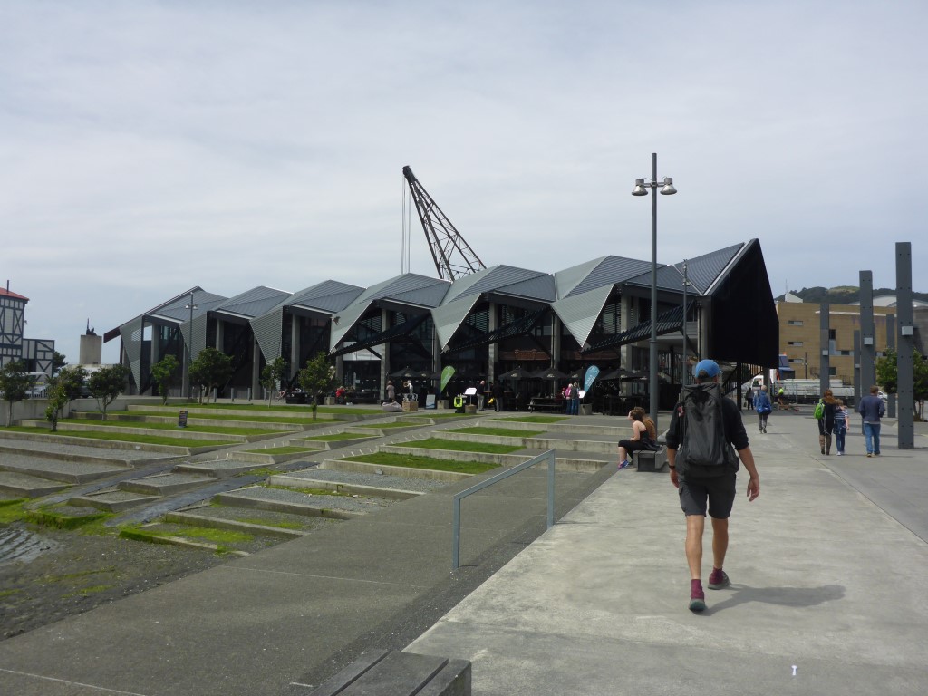
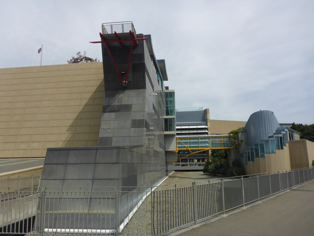
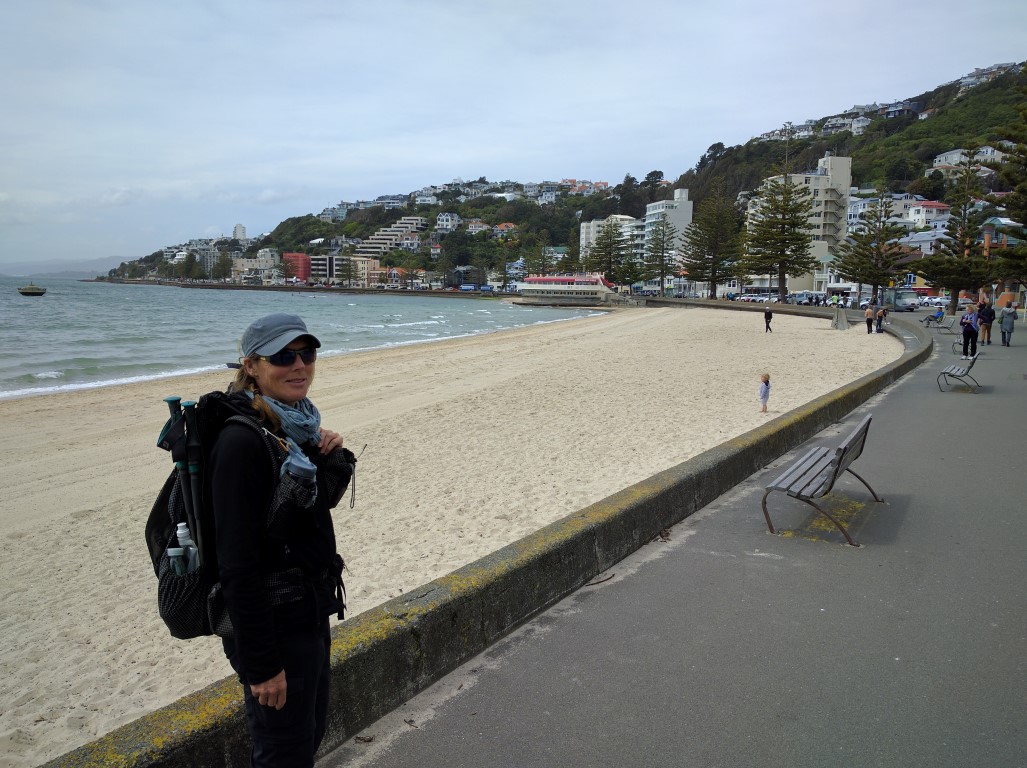
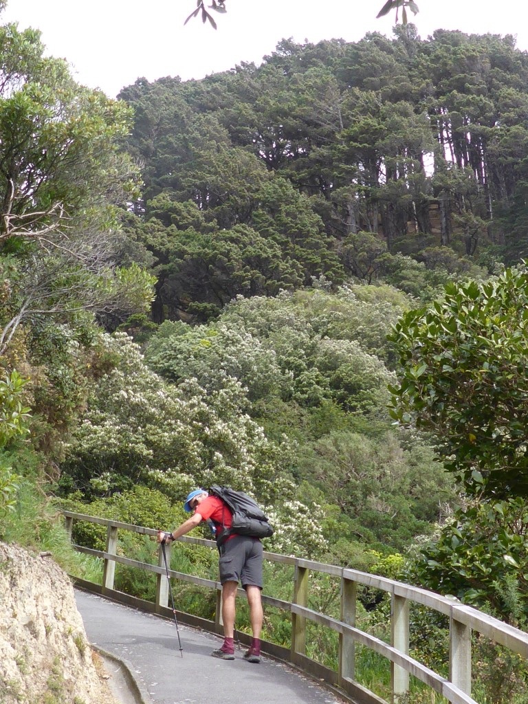
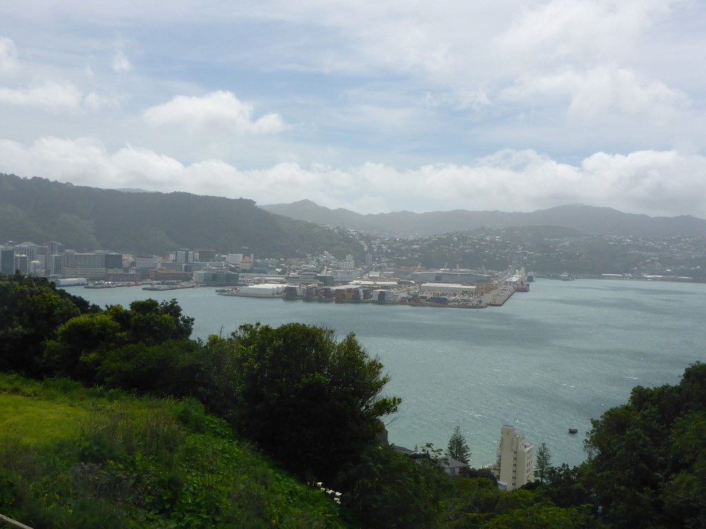
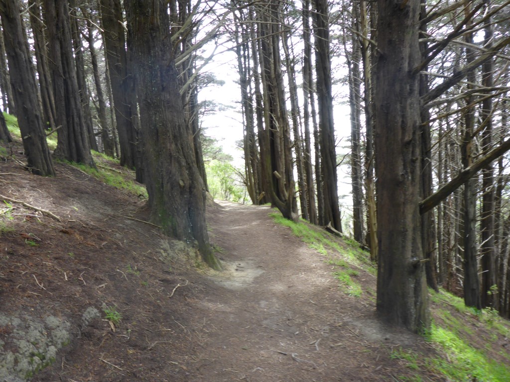
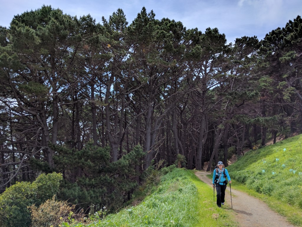
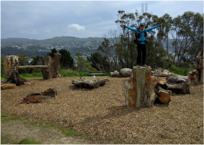
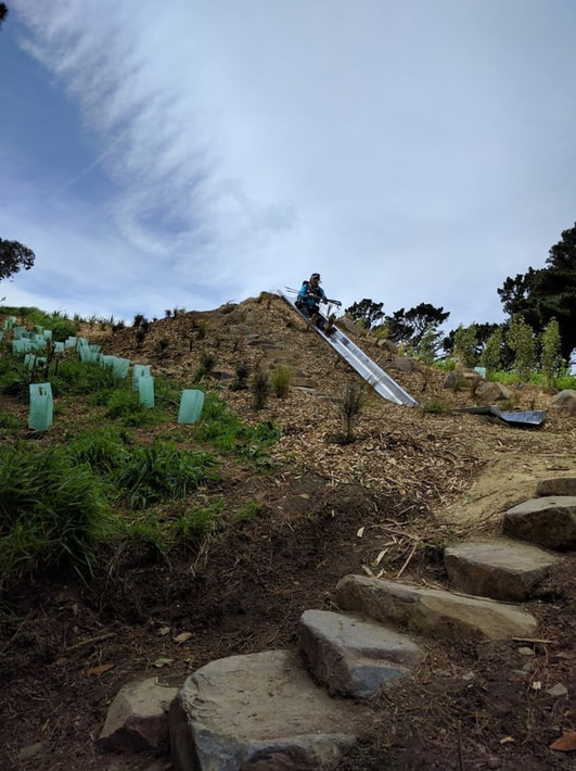
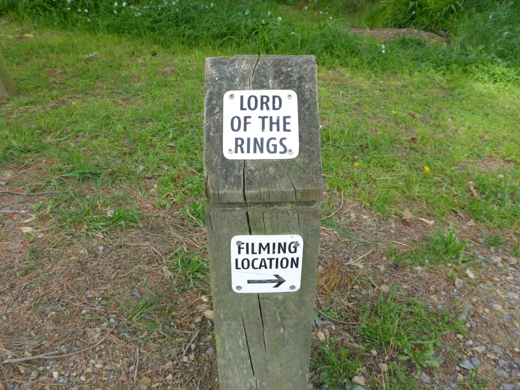
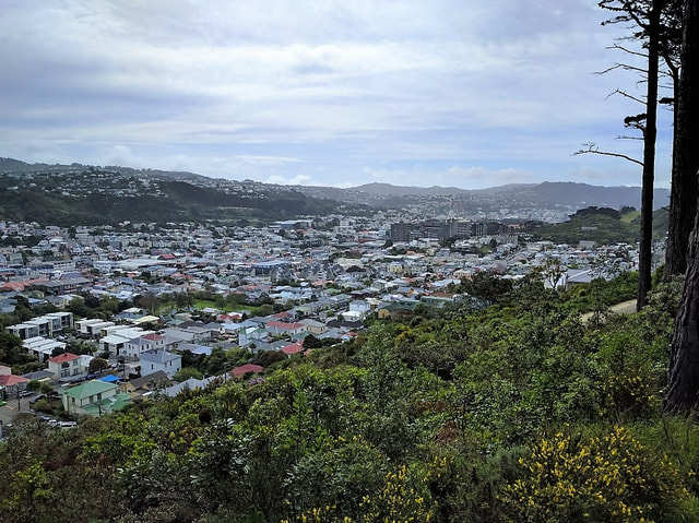
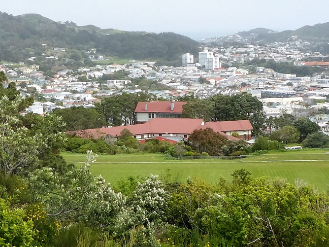
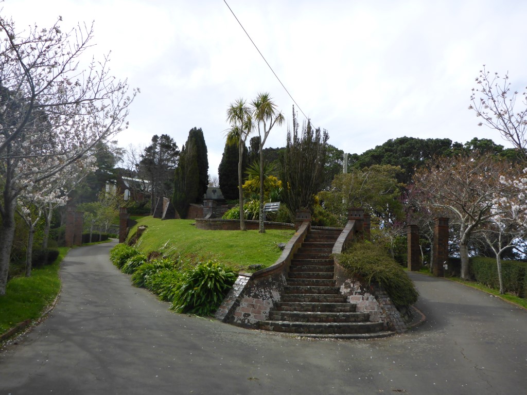
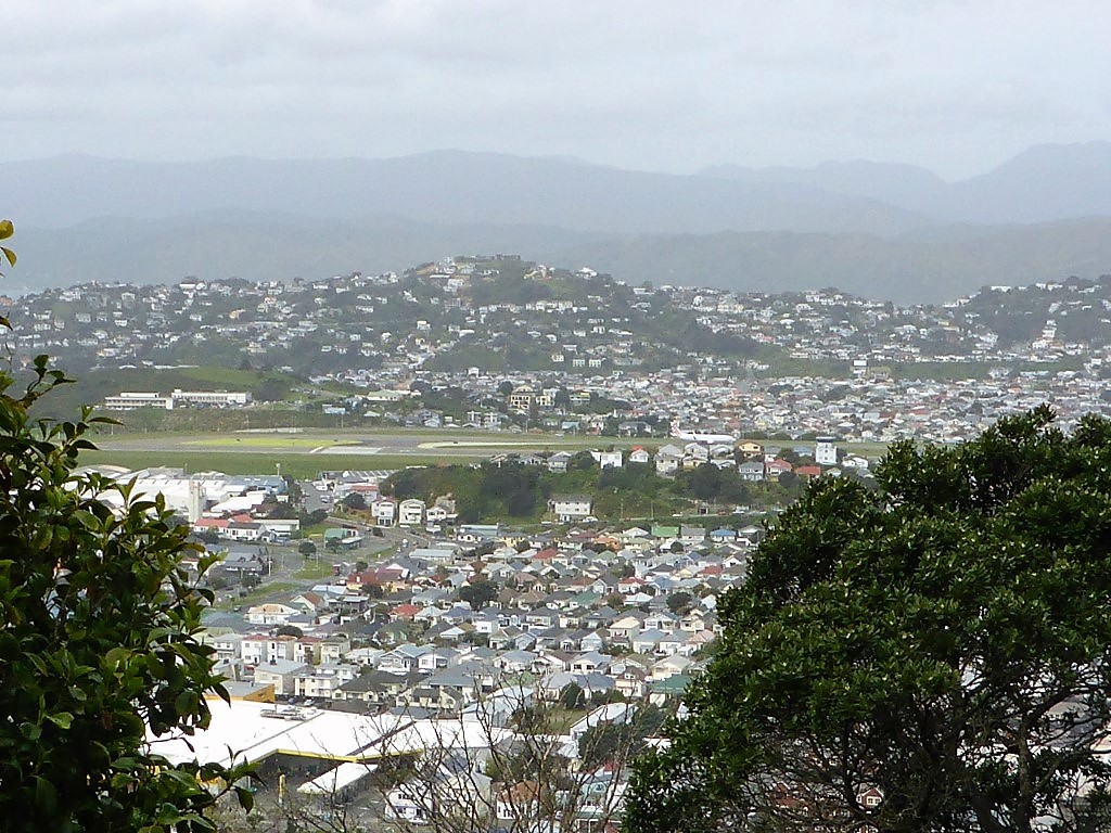
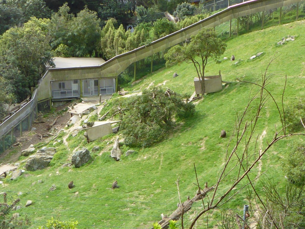
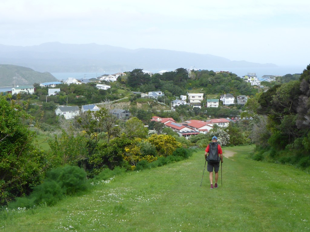
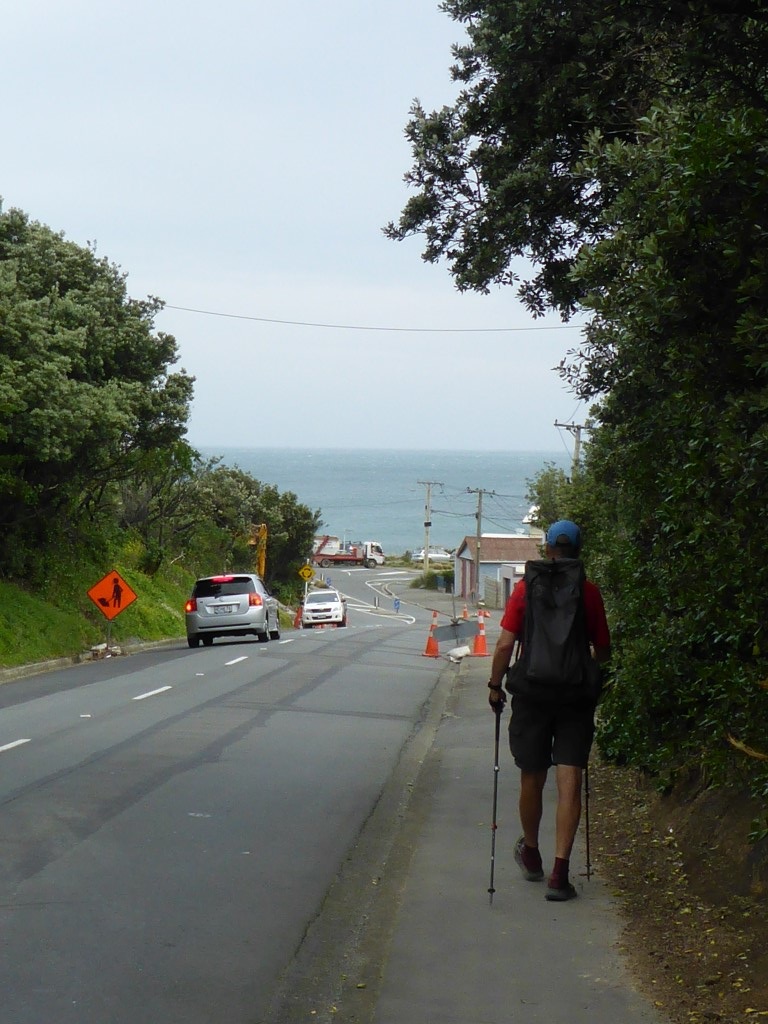
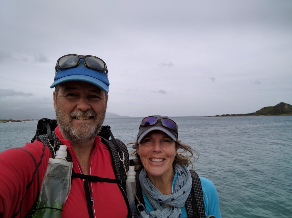
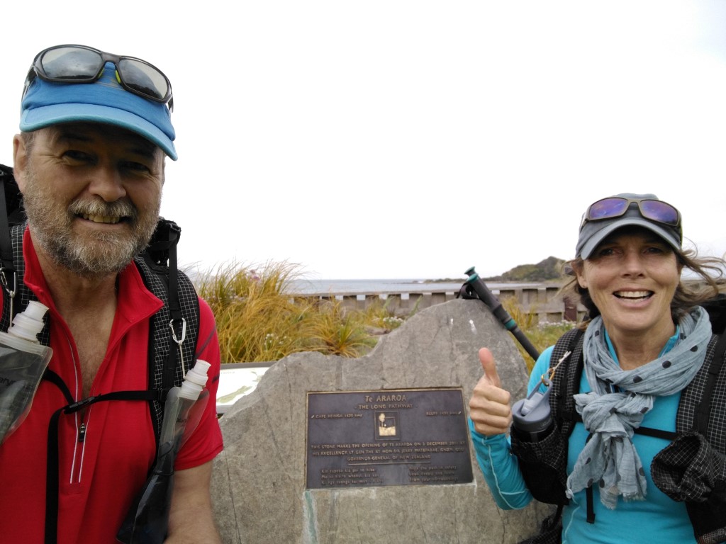
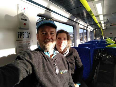
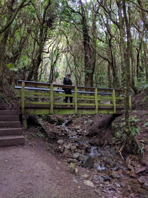
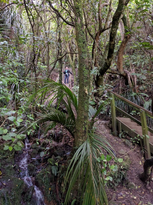
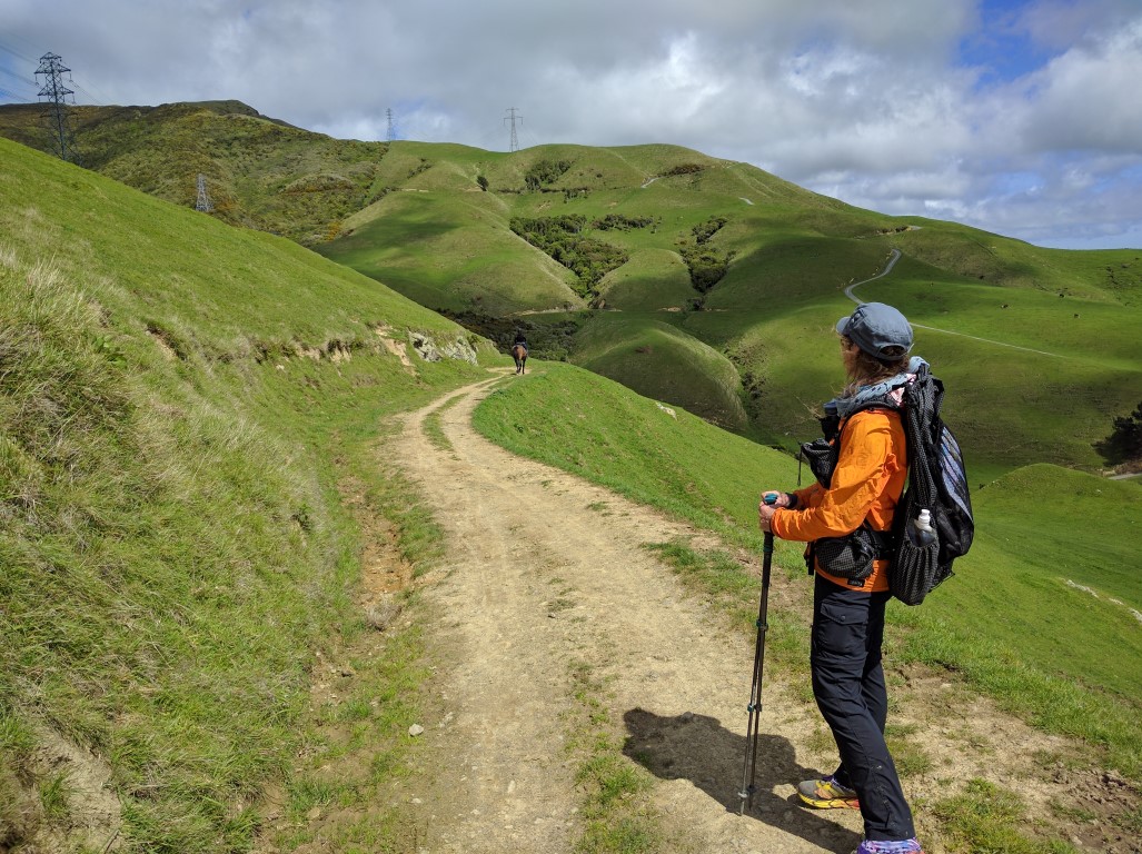
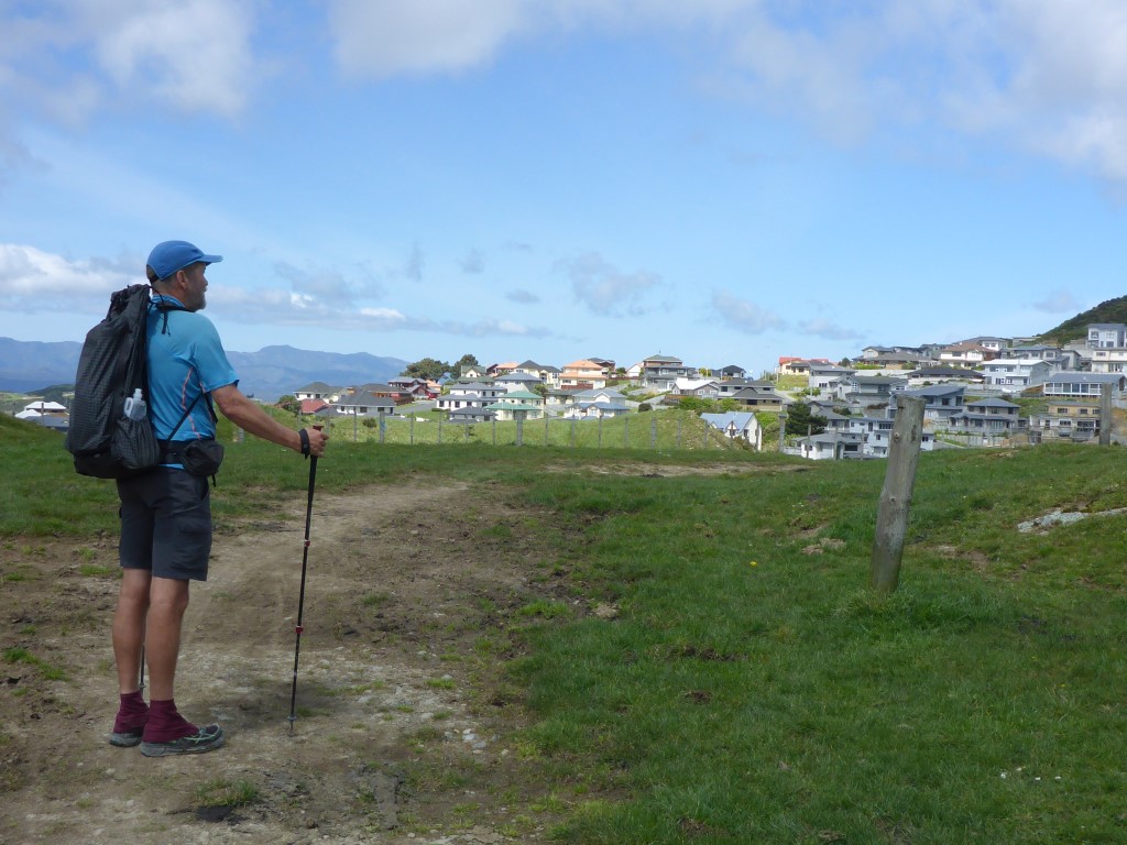
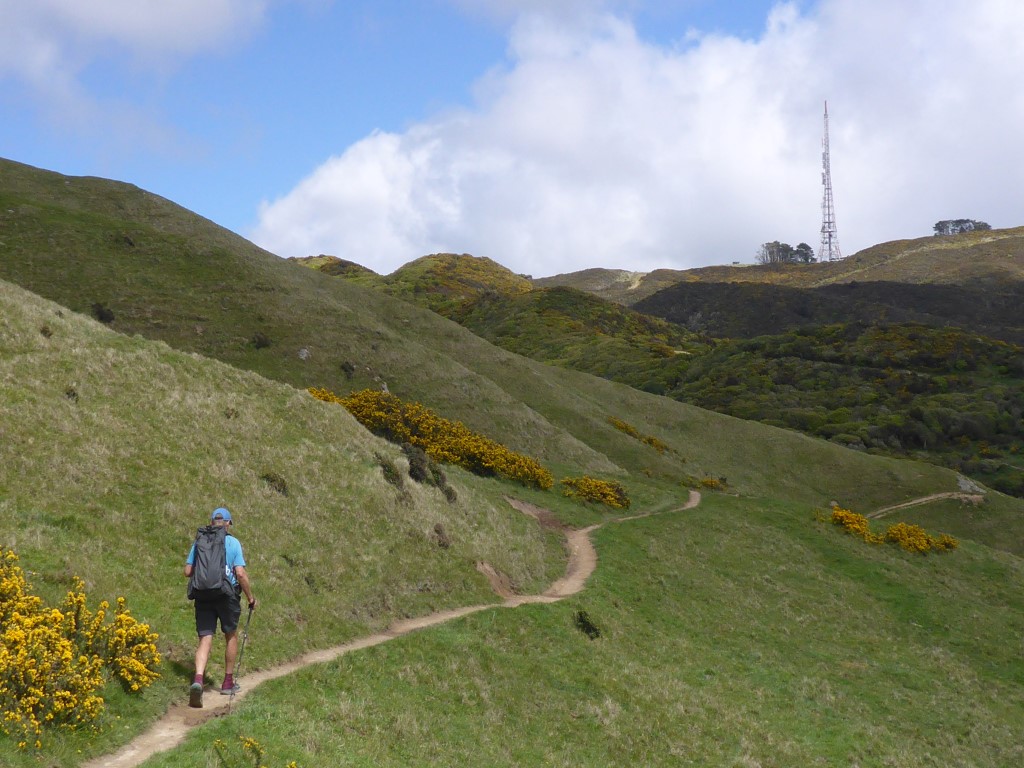
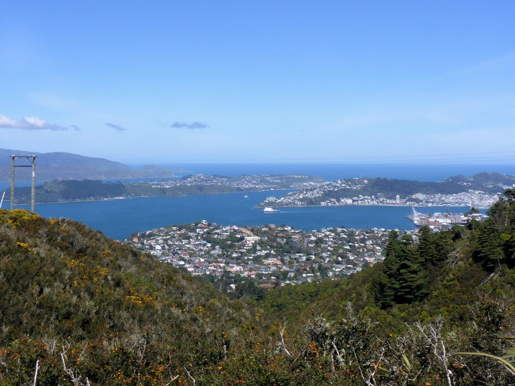
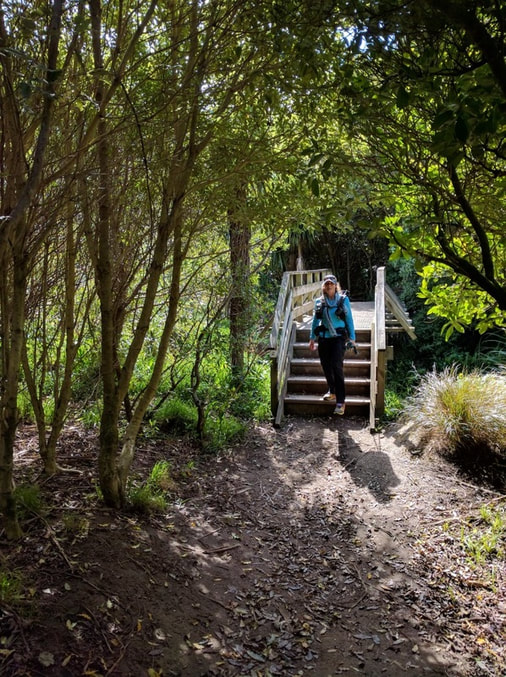
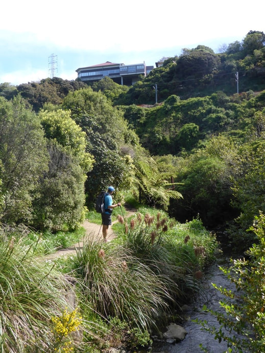
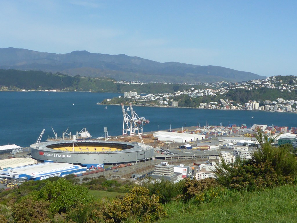
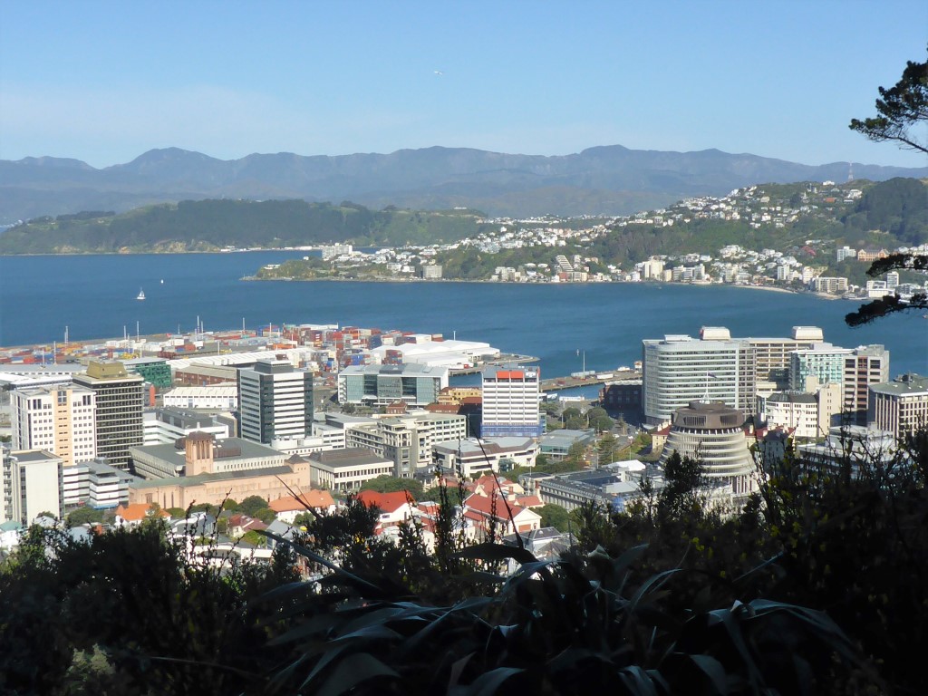
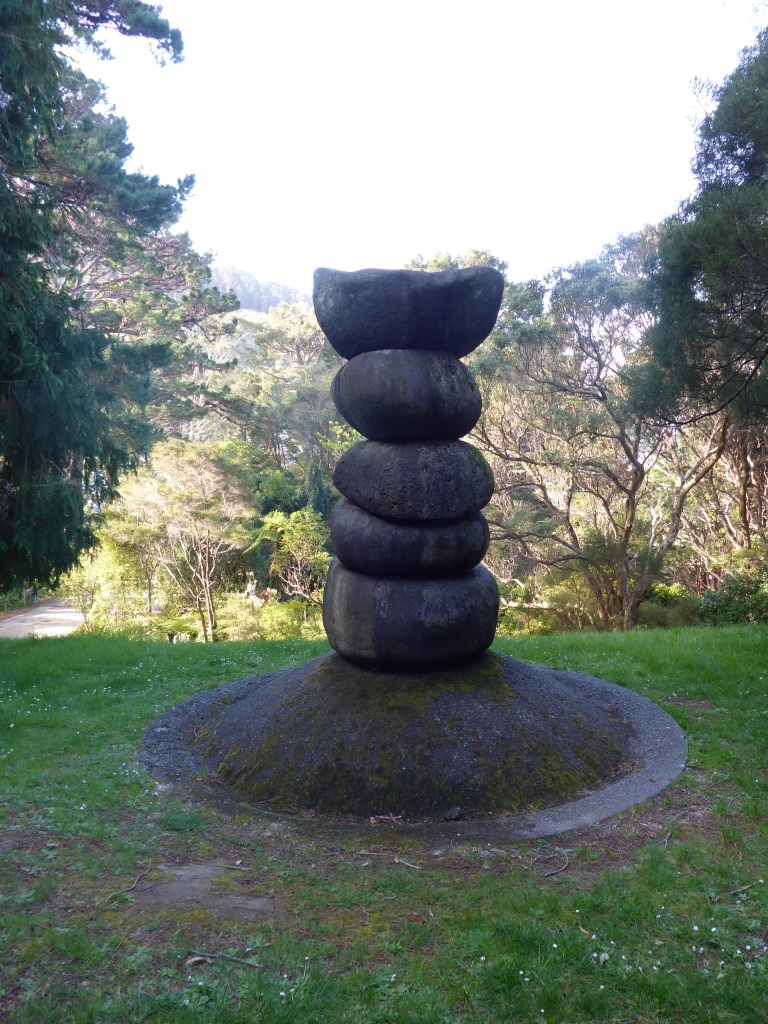
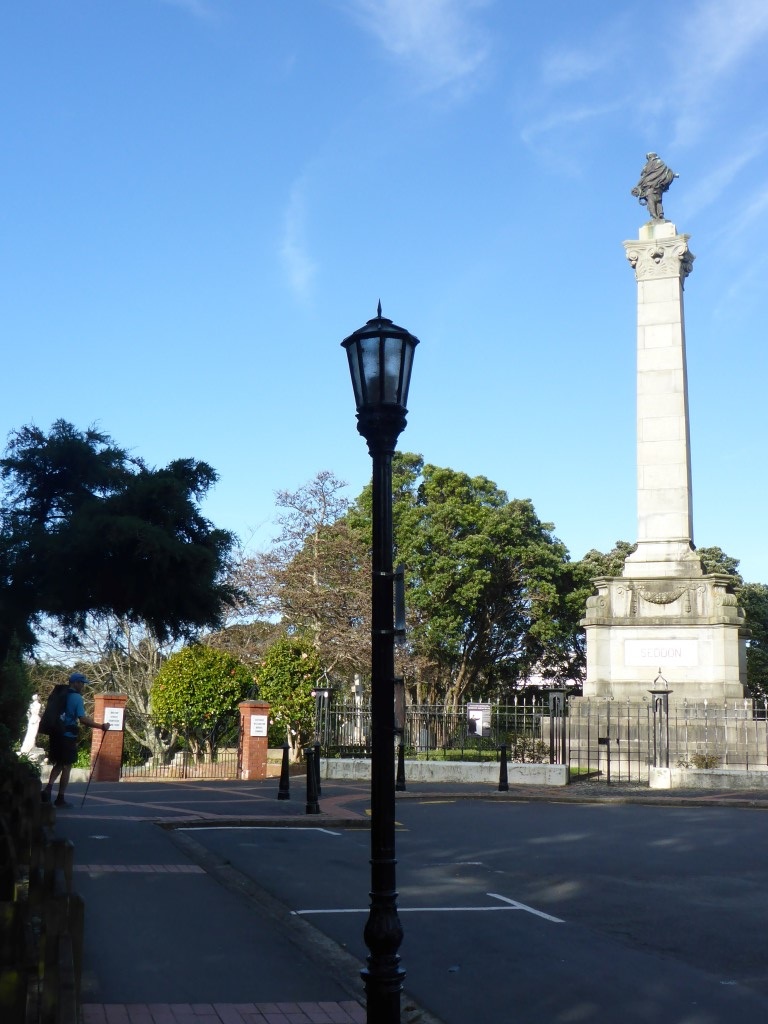
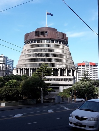
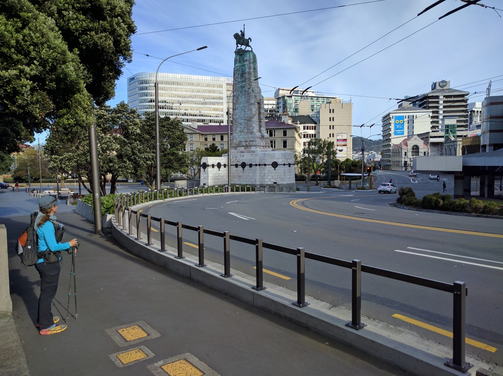
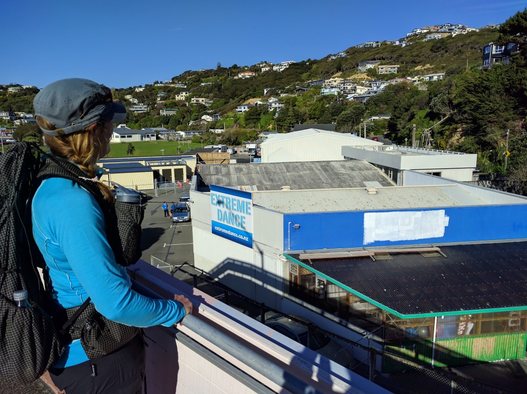
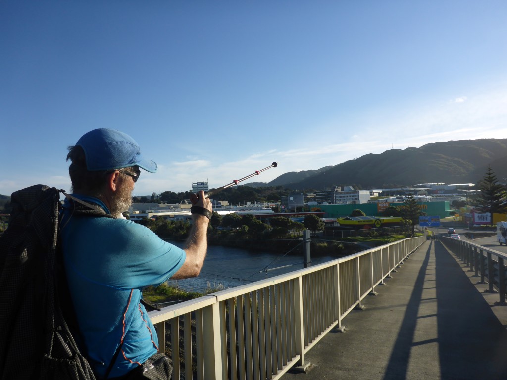
We decided to follow up our long day yesterday by finishing off the final 14km stretch to TA's North Island southern trailhead at Island Bay. Belinda teaches her class on Monday morning but we were able to catch a train that got us into Wellington about 1230, which would still give us time to do a shorter day. The GPS data for the day is here. We did just over 14km in 4 hours today - not too bad, we thought, considering the hard day yesterday! Surprisingly to us, we also had about 450m of ascent and descent today - mainly due to Mt Victoria and the hilly bits in behind Kilbirnie and Melrose, before dropping down to Houghton Bay. We headed off up Lambton Quay amongst the lunchtime crowd of "suits" - surprisingly I didn't even see anyone I knew!! Near the top of Willis St, we stopped for B to get a Tank (juice) and I popped into Shoe Clinic to see if there was any update on the new season's Hoka shoes. Then it was past the Library and over the pedestrian Bridge to Frank Kitts Park. We passed the newish waka house and headed along towards Te Papa (in almost 8 years working for the seafood industry I walked this stretch - from the rail station to work near the Basin Reserve - literally hundreds of times!!). Then it was along the waterfront around to Oriental Bay, heading off-road up paths and tracks, towards Mt Victoria, just before Carlton Gore Rd. Initially it was a steepish climb up a series of asphalt paths to get into the green belt below Mt Victoria. Then it was up and down along tracks past the Lookout (we didn't go up to the Lookout as we've been there many times before, but I would recommend it for TA walkers who are not locals - a well-signposted, short detour from the TA). From here right through to Houghton Bay, there was surprisingly little road walking. if you look on Google Earth it is pretty easy to see the green stretch of ridge all the way - between Haitaitai and the suburb of Mt Vic (including over the top of the Haitaiatai tunnel) and through Melrose. We carried on here and dropped down to cross Constable St, Newtown by the roundabout junction with Crawford Rd. Then it was back into the green belt, passing Truby King Park (historic home and gardens built by the founder of Plunket Society - now owned and maintained beautifully by the Wellington City Council). A brief stint on Melrose roads led us across Melrose Park which is situated on the southern boundary of Wellington Zoo - so we got to look down into the baboon enclosure for a while!! Heading up another scrubby hill took us to the new Melrose Reservoir and on to another 2km or so down through green space and roads to Houghton Bay. From there it was less than 2km of road walking around the coast to get to TA's southern North Island trailhead at Island Bay. By now it was approaching 1700h and the wind was fairly "biting", which didn't improve my humour for the last couple of kms!! A quick detour through Shorland Park got us to the plaque marking the trailhead - we also shot across the road for a selfie on the little pier that juts out into Island Bay opposite Shorland Park. For through-hikers this is a major waypoint - for us, it felt a little different as we still have Taumarunui to Otaki Forks (over 500km including Wanganui River section) to do to finish off the North Island. There was, nevertheless, a sense of achievement and a feeling that it was a good warmup for that next stretch starting on a couple of weeks or so!
2 Comments
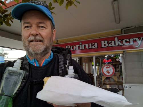
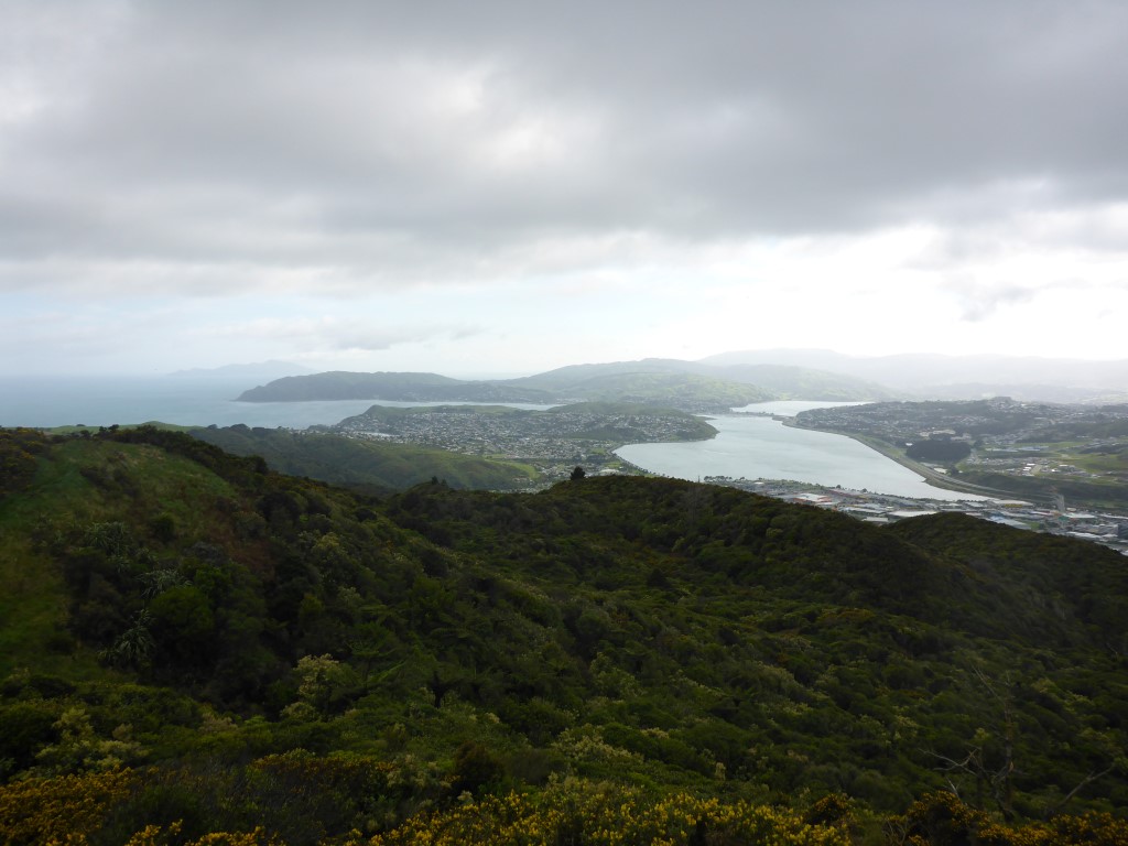
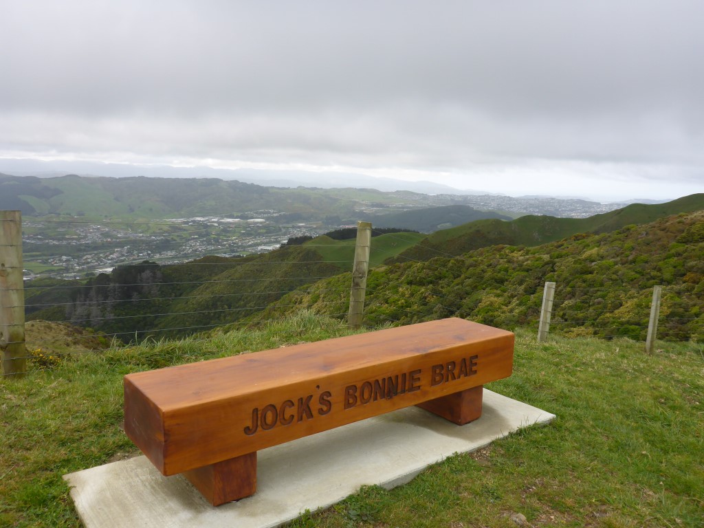
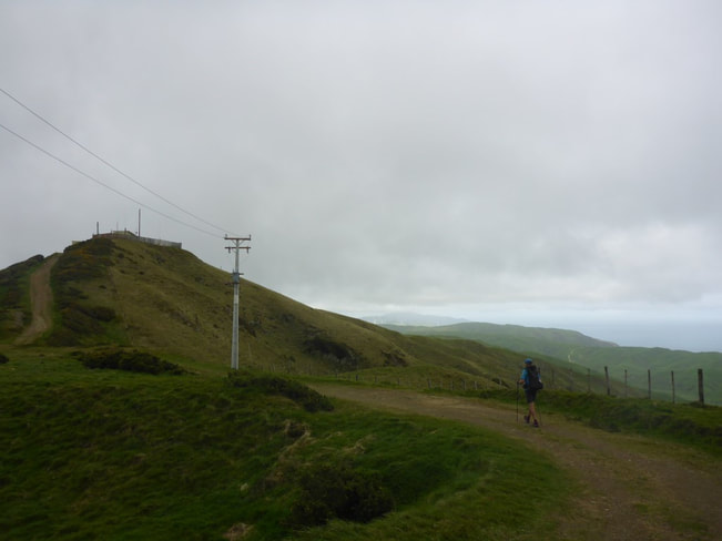
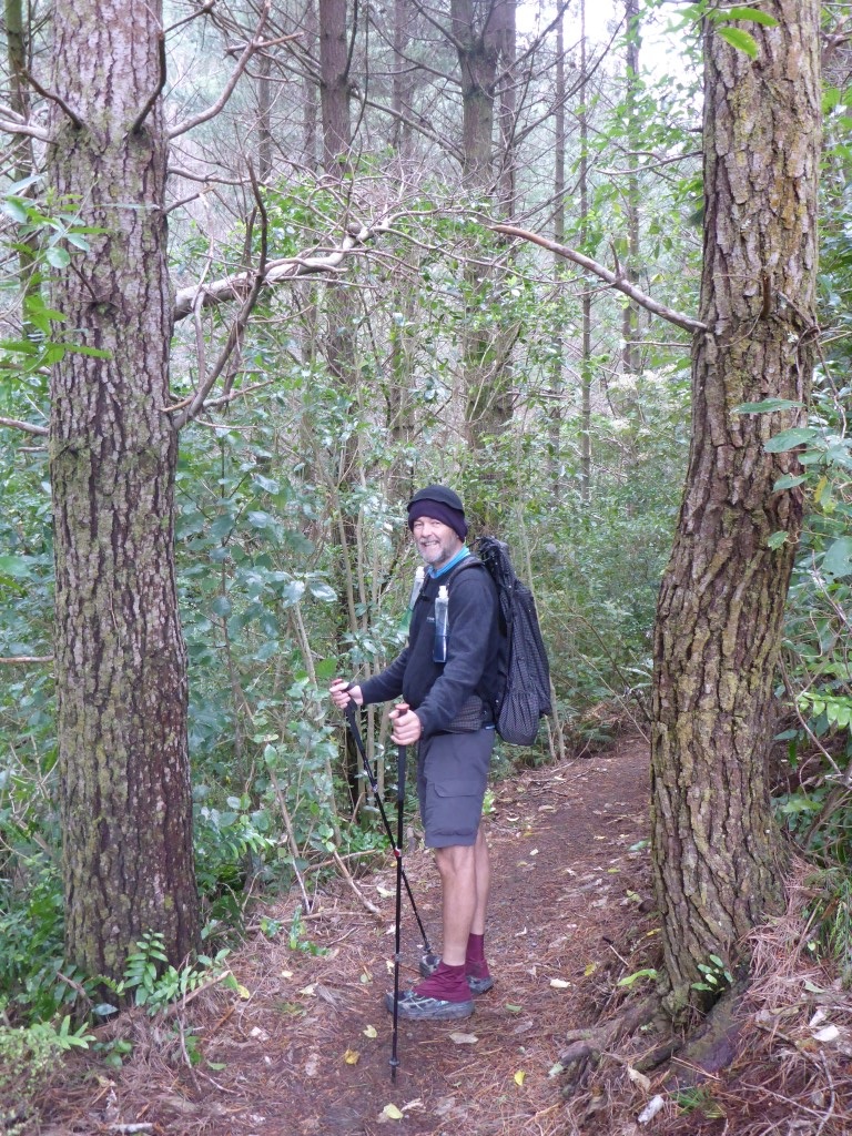
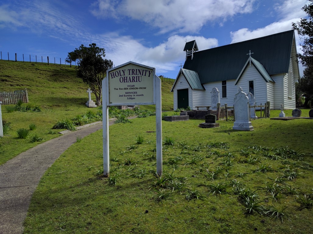
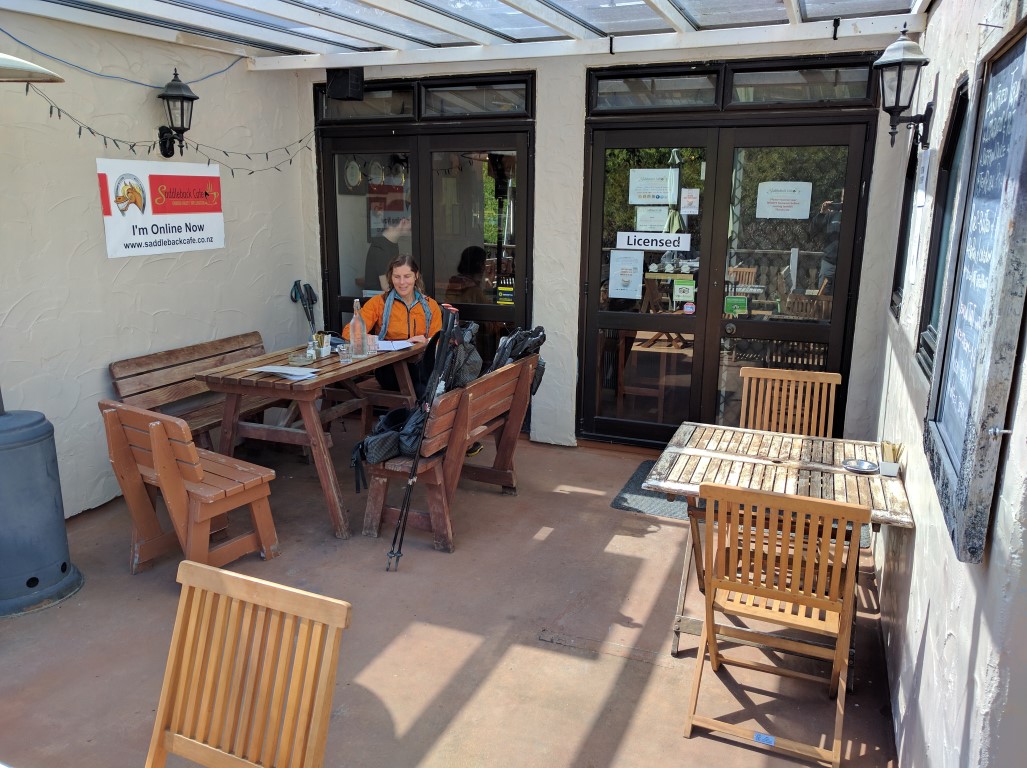
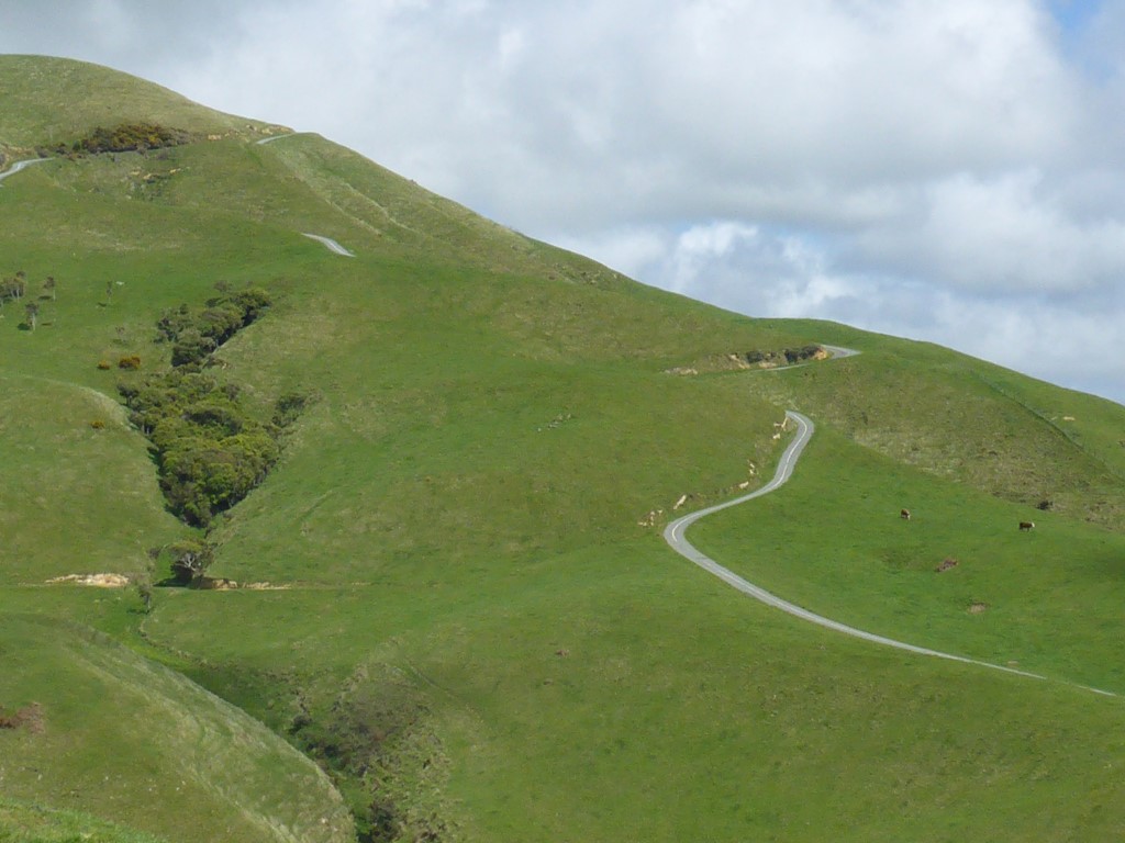
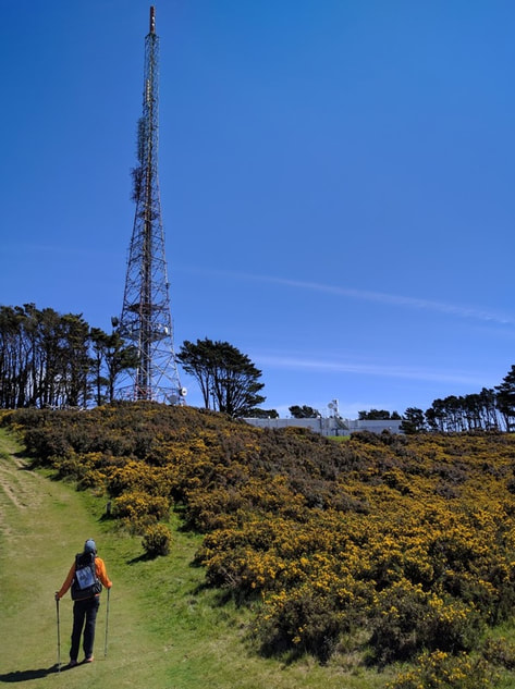
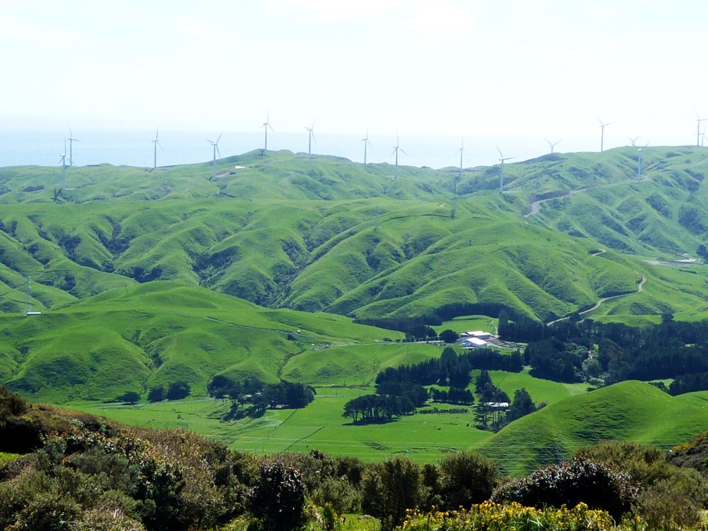
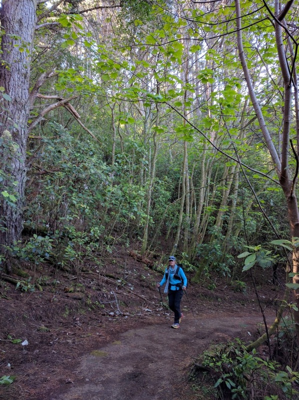
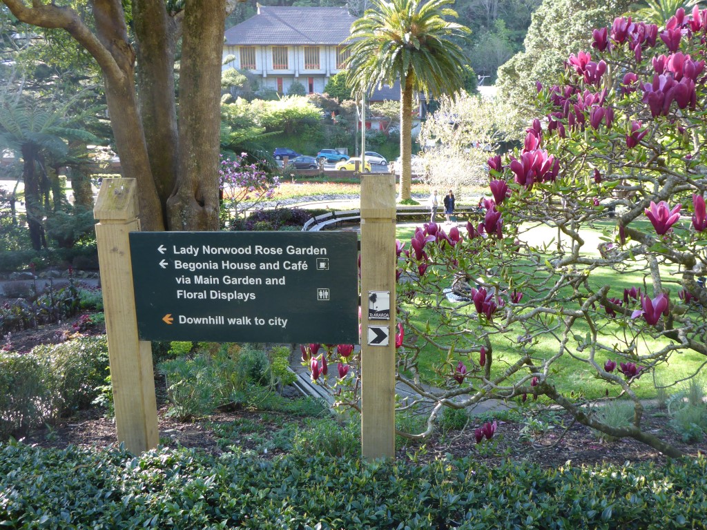
Today's GPS data is here. We caught a 0707 train from Paraparaumu, setting off from the Porirua railway station at about 0750 for a long day's walk (for us). We planned to get to the Wellington railway station (not far off track) and ended up achieving that - around 33.5km. This was our longest day for quite some time and a real test as it included 1400m up and 1400m down (mainly Colonial Knob and Mt Kaukau) - so not flat by any means!! 10 hours walking from start to finish, including stops along the way. Starting through the centre of town gave us the opportunity for a quick loo stop and also for me to get back into "trail mode" by finding a bakery and buying a large potato-top pie (even though I had earlier had a small breakfast!) - it was really delicious, and a good bit of fuel for a long day ahead. Then it was off westward through town along the south side of the old Todd Motors factory (locals of a certain vintage will know it well!) before reaching Elsdon Camp and the start of the Colonial Knob Walkway. Not having done this walk before, we were pleasantly surprised how pretty the start of it was, walking up to the more open tops through some nice native bush. It was slightly reminiscent of the southern end of the Hakarimatas, although not as steep or as new (but lots of steps!). Being a Sunday, we came across quite a few local walkers and cyclists here, as well as later in the day right through to Wellington. You break out of the bush into more open farmland after about 1.5km and its about the same again to get to Colonial Knob itself. We didn't really strike much more native bush until hitting the Green Belt in Wellington city. Although it was supposed to be sunny, it turned out to be a little overcast for much of the day. The tops along Colonial Knob are fairly exposed and we had a cool, fairly strong, NW wind blowing (luckily it wasn't southerly!!) which made sure we didn't overheat!! We stopped for a break behind the hut at Colonial Knob (468m) itself. I immediately put my possum/merino jumper and my balaclava on - which is almost unheard of for me!! I even left it on when we departed and had it on for some while. Belinda was rugged up as usual :-). It's just another reminder that even on a relatively fine spring day in NZ it can be quite challenging walking conditions - with rain thrown in the mix, it would have been very unpleasant. Flo - if you read this, we were thinking of your experience when you did the Mt Kauakau stretch - and our day was fine by comparison!! From there it was another km or so downhill into Spicer Forest (pleasant walk through a pine plantation for a couple of kms) and then onto the start of Ohariu Valley Rd. 5km of walking down the road past lots of lifestyle blocks, and the entrance to Boomrock Lodge on Papanui Station, got us to the junction with Rifle Range Rd (which heads up to Mt Kaukau). Here we took the opportunity to have a (well-deserved!) cafe break at the riding school cafe. Although we had packed some lunch, we decided to order lunch here. The food was absolutely fantastic - recommended for anyone passing, although it is only open Sat and Sun for brunch (1000-1600) so those passing through on a weekday will have to miss out! After a 50 minute break here it was back on the road again. Luckily we only had about 1.5km of road walking from the cafe before hitting Old Coach Rd, which is essentially a farm track. It was then about 4km on a good track (4WD track followed by easy walking track) up through farmland and scrub to the Mt Kaukau transmitter station. It was strange, at one point, to be walking up the farm track and suddenly come across a whole heap of houses close by - the back of Johnsonville. At the top of Mt Kaukau we got some good 360 degree views (panorama of part of that included below). Still pretty breezy and cool so we didn't hang around too long. We still had another 2km of exposed "tops" walking before dropping down Bell's Track into the back of Ngaio (into real Wellington suburbia!). Then it was mainly down roads to near Crofton Downs, where we headed into Trelissick Park. This was yet another surprise in amongst the city! It was a lovely 1.5km walk with not a road in sight right through to Wadestown. Although our confidence got the better of us again and we made a small mistake that cost us maybe 400 metres of unnecessary walking (hopefully by Bluff we will have learned that lesson once and for all!!). We stopped for a drink at the Wisconsin burger outlet in Wadestown as we had done almost 28km by then! However, straight after that TA delivered a nasty uphill pinch up asphalt streets and steps which tested our tiring legs somewhat!! We had sort of hoped it might be mostly downhill from there - but, as always, thinking it doesn't necessarily make it happen, especially where TA is concerned! After that it was into the green belt above Thorndon for a pleasant walk along the hill and eventually down onto Tinakori Rd and into the Botanic Gardens opposite the Chinese Embassy. With so many tracks in the gardens we again, believe it or not, got a little lost as to exactly which track to take - but we knew we were heading for the Rose Gardens and that, combined with the GPS, got us there no problem! Then down through the Bolton St Cemetery and across the motorway on a footbridge and onto Bowen St. From there it was only a km or so down to the intersection of Bowen St and Lambton Quay, where we left the trail to take the short walk down to the rail station to catch the train home. Having spent a number of years commuting into Wgtn for work it was very familiar territory for me!!
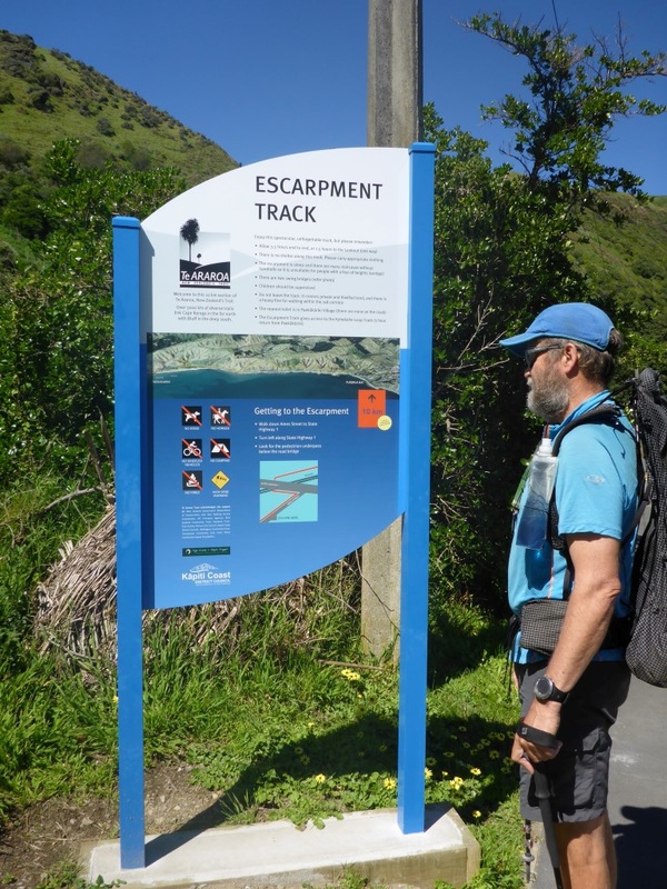
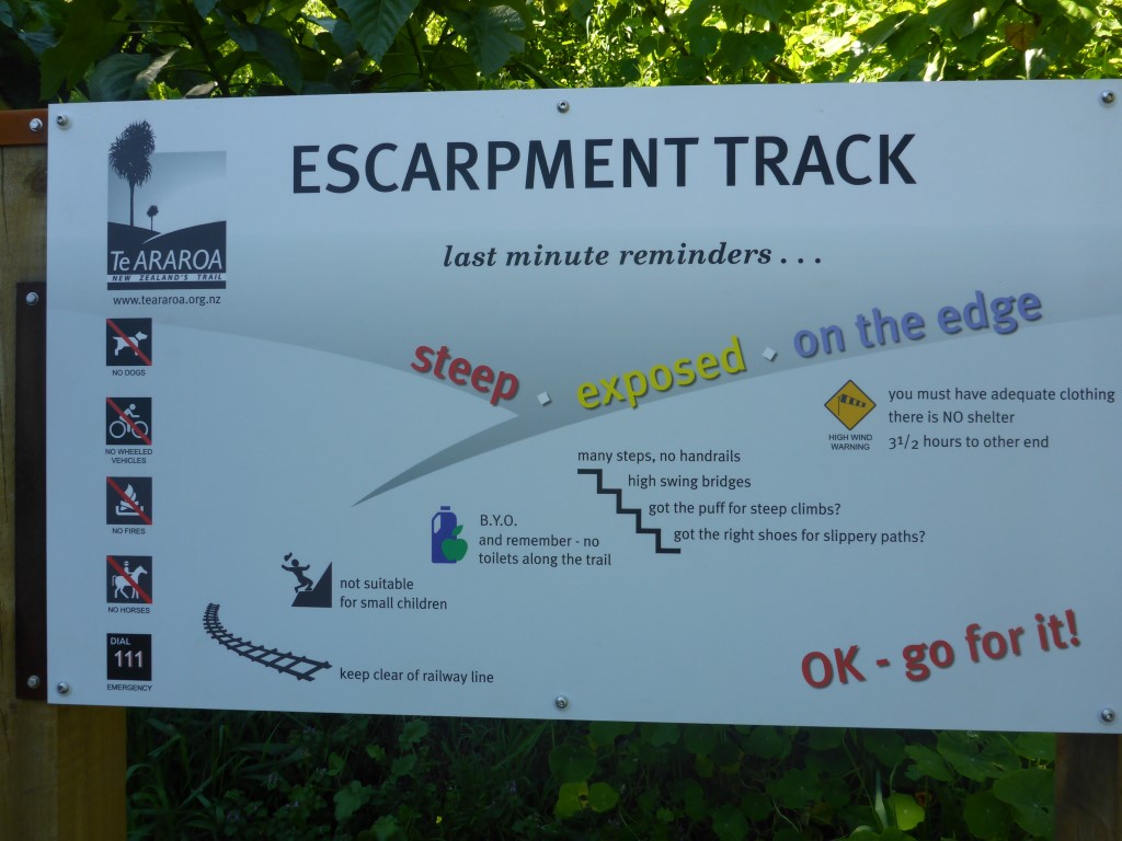
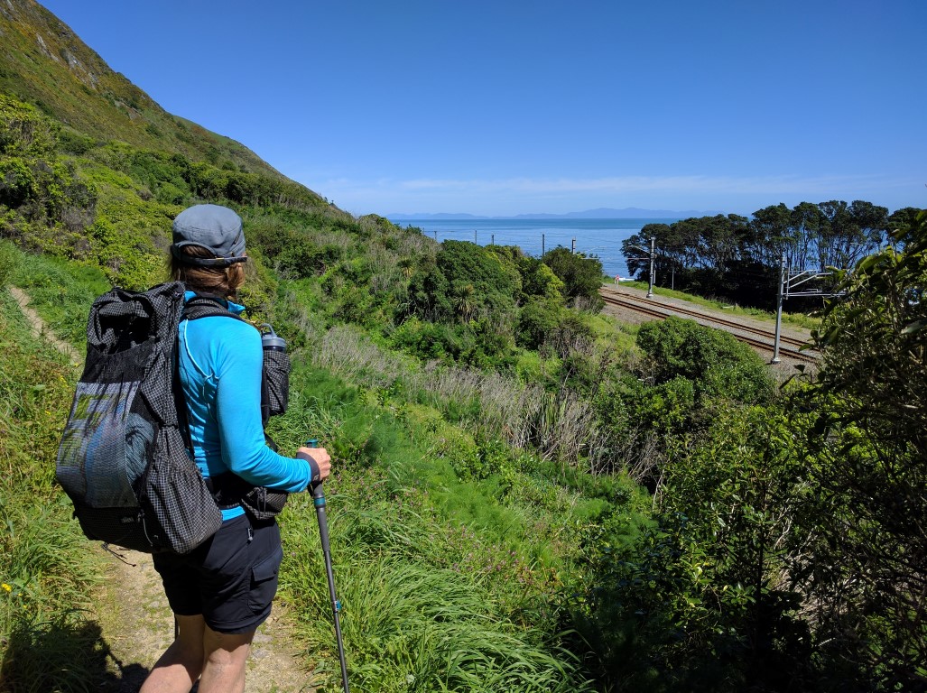
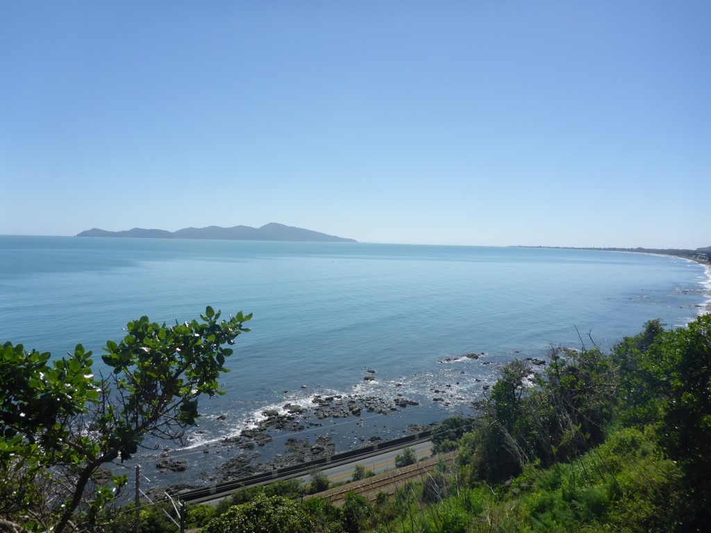
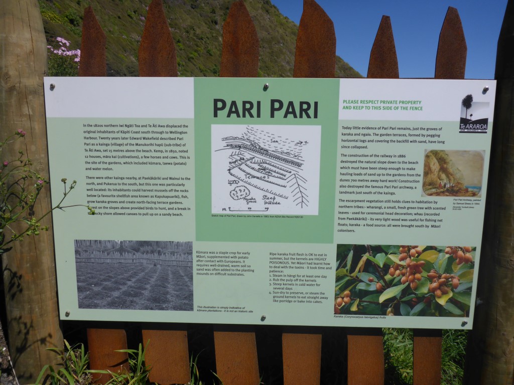
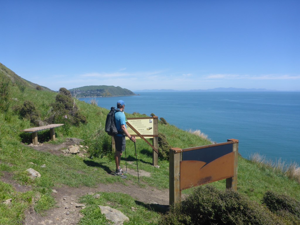
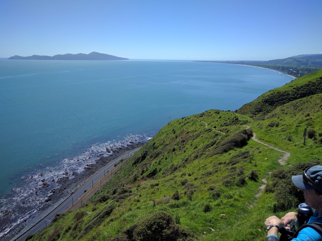
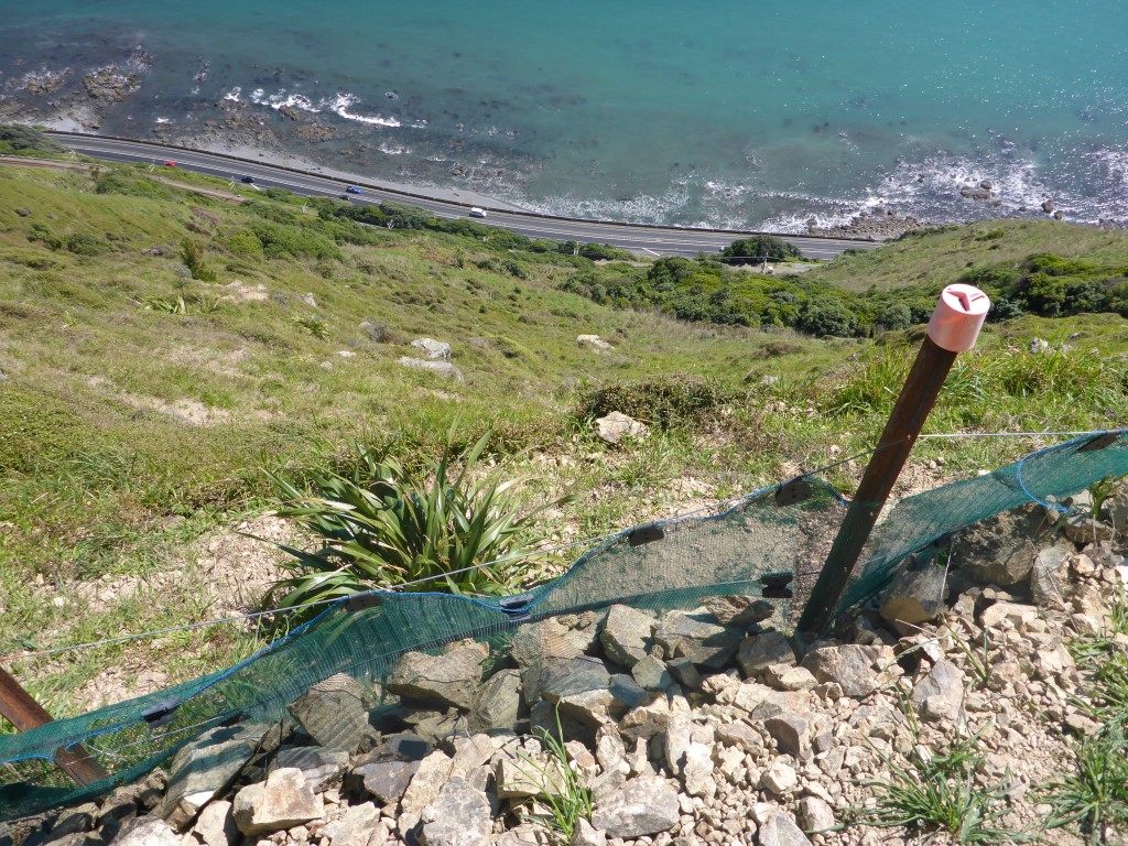
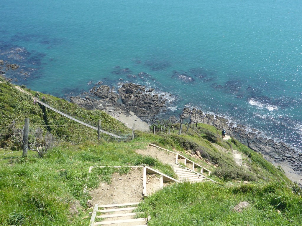
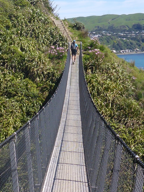
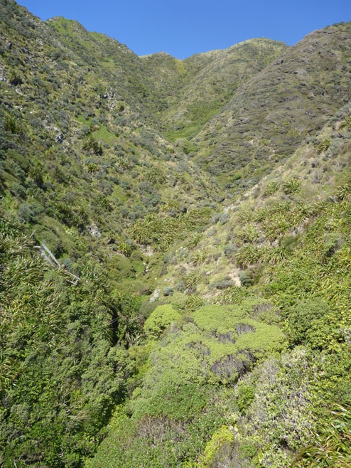
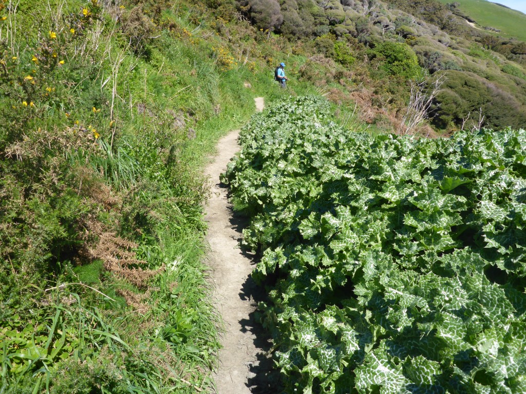
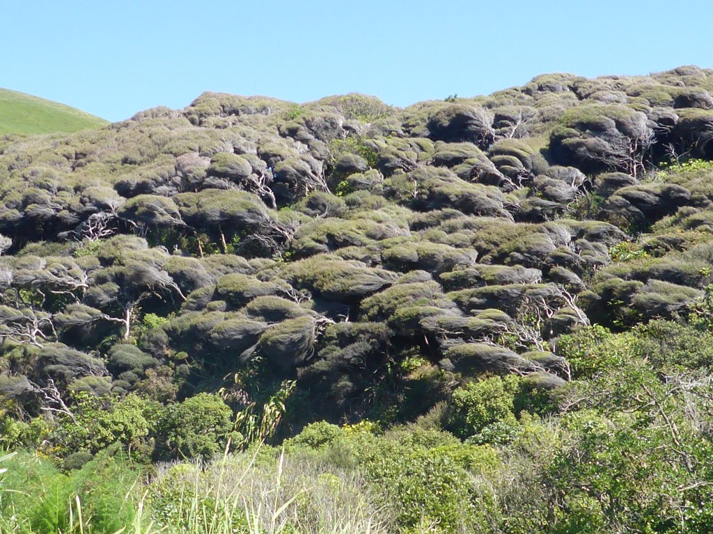
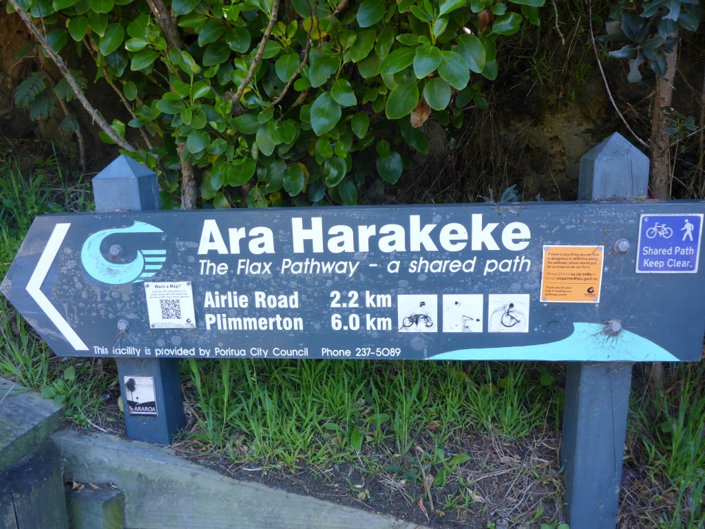
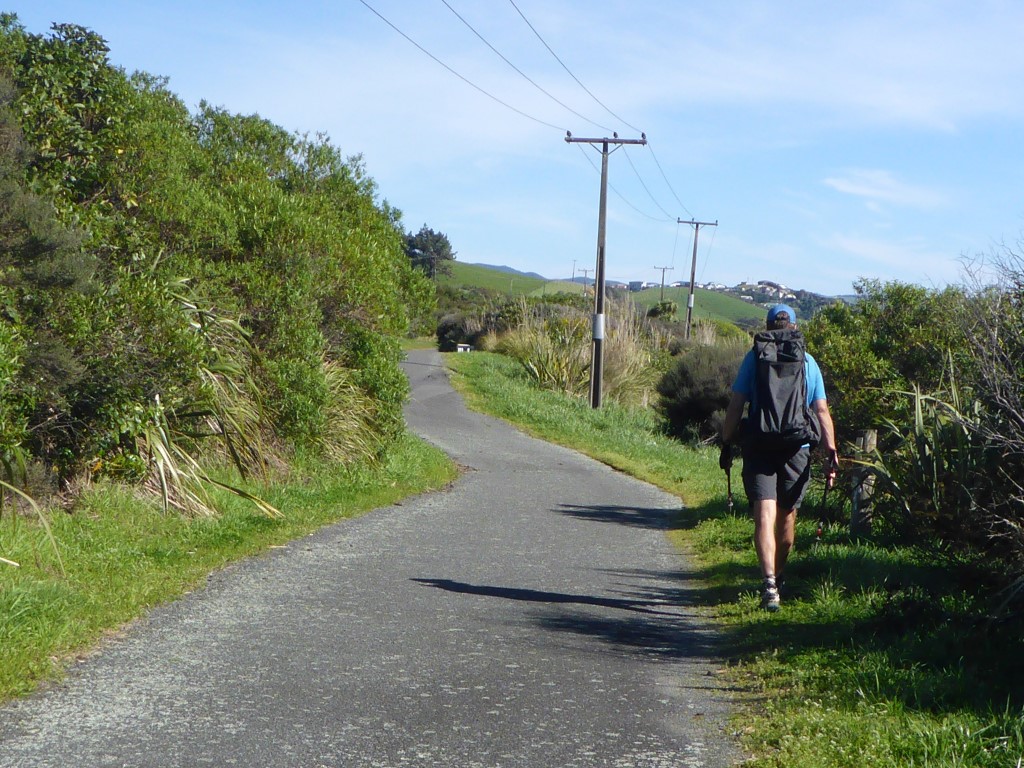
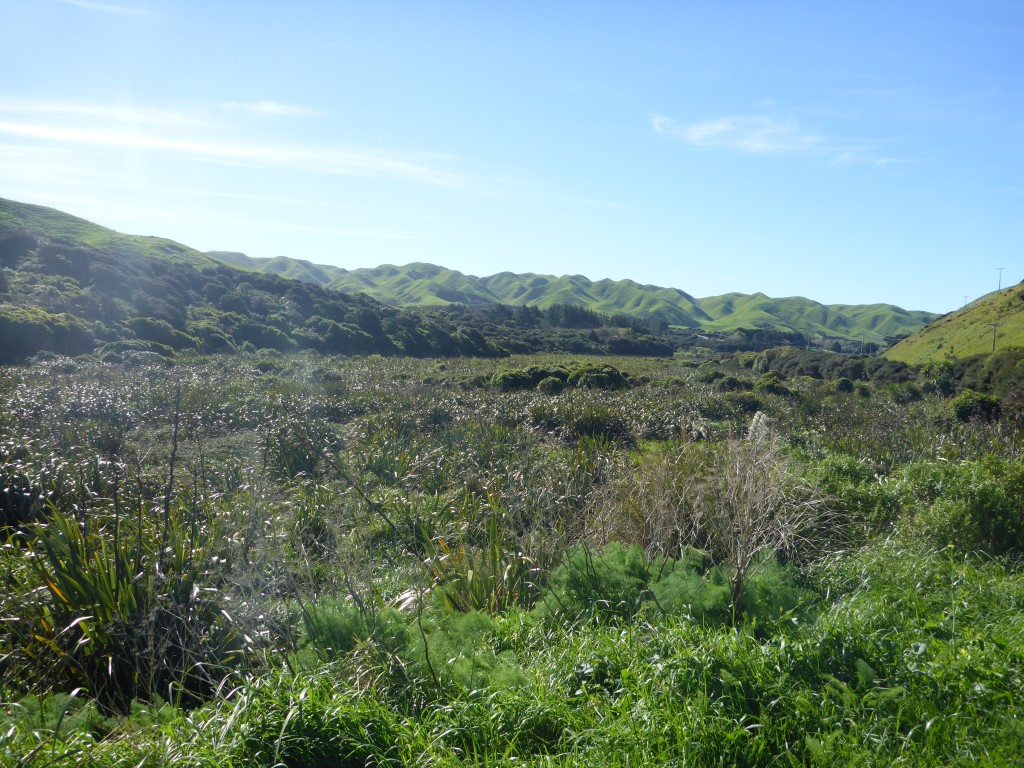
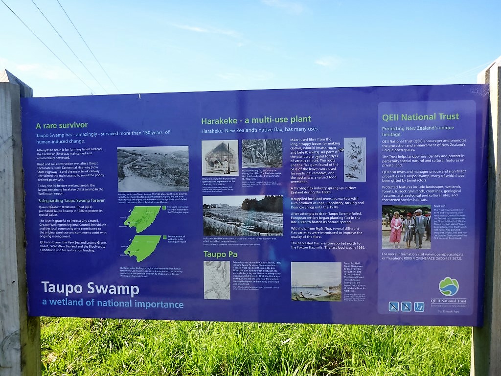
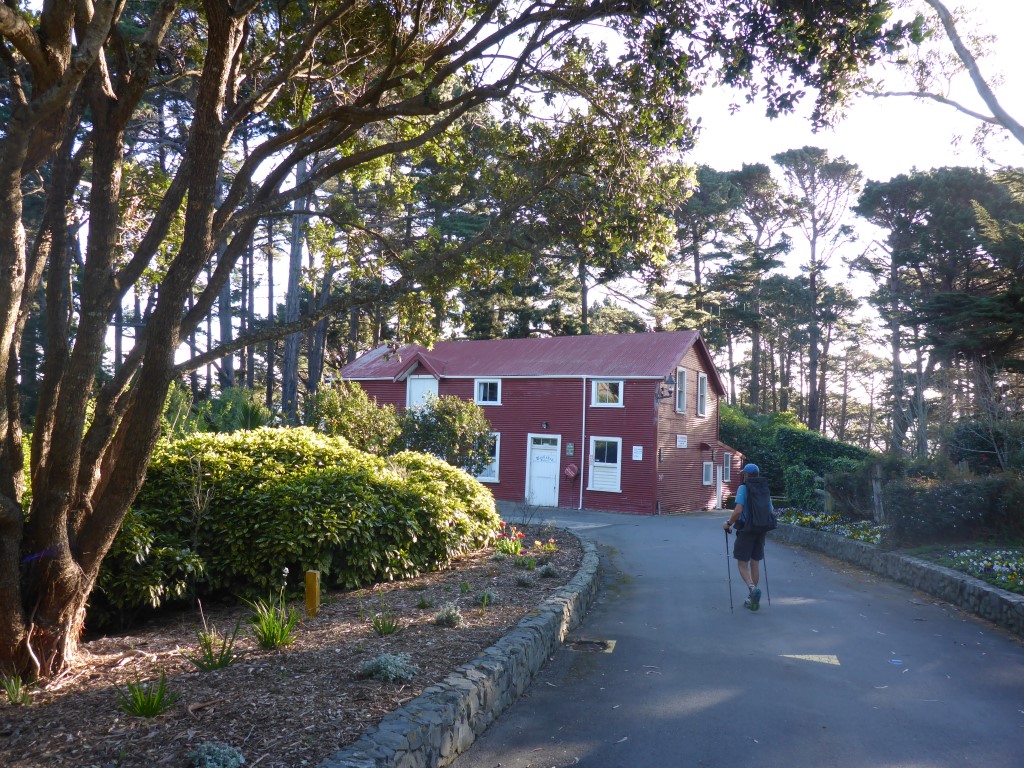
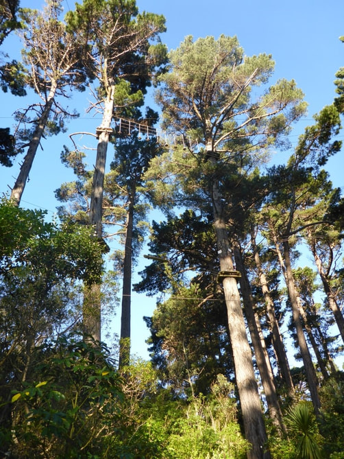
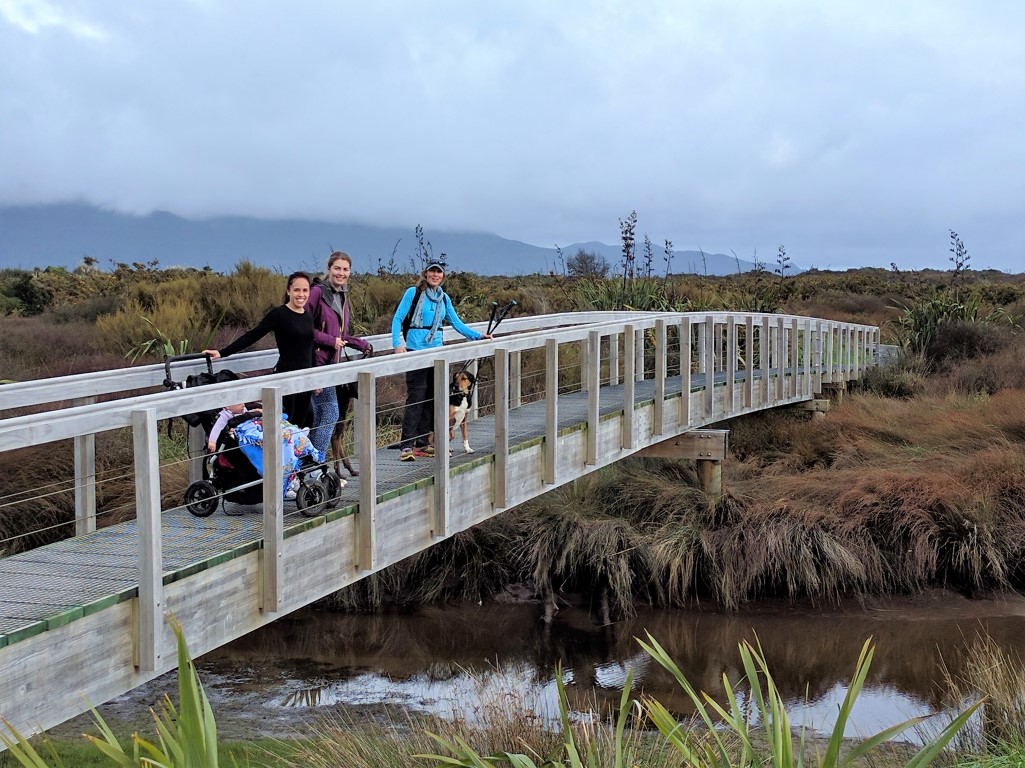
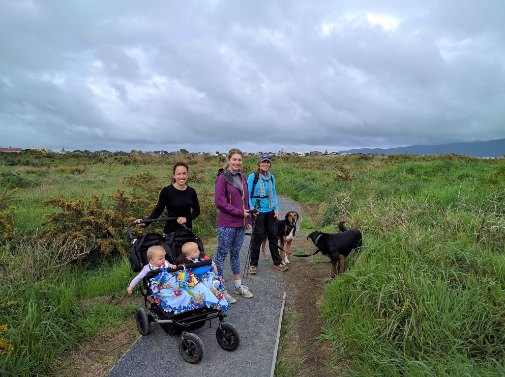
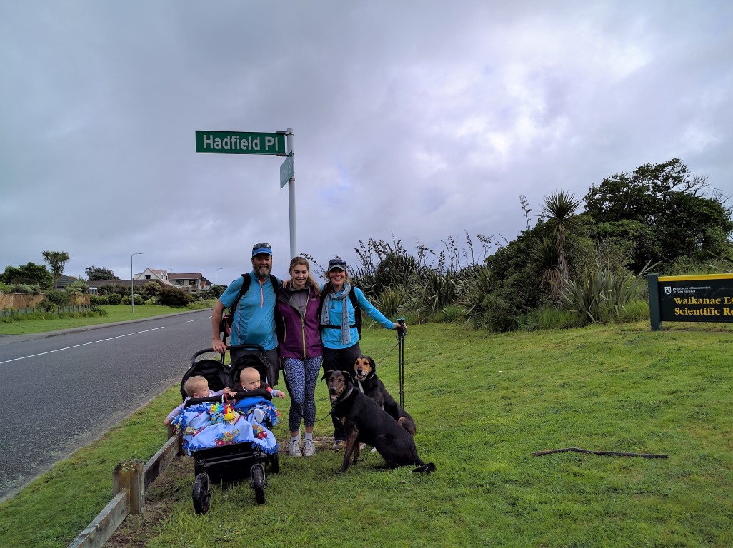
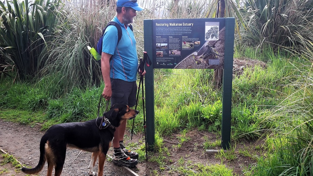
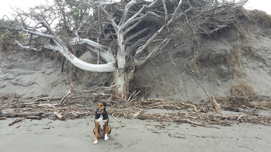
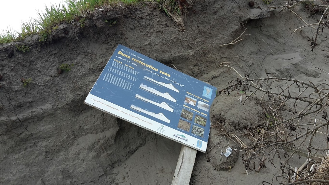
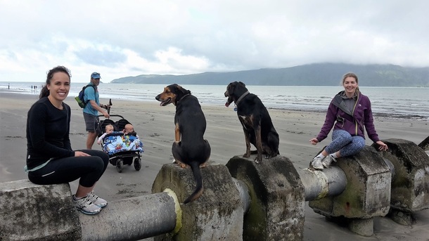
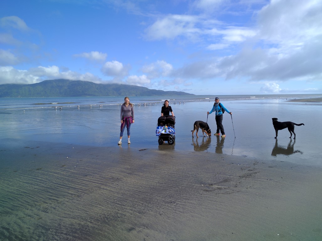
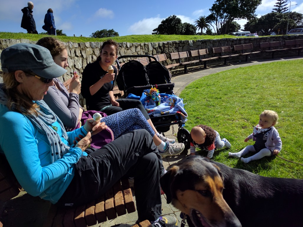
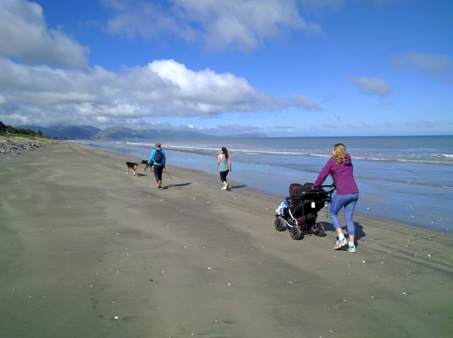
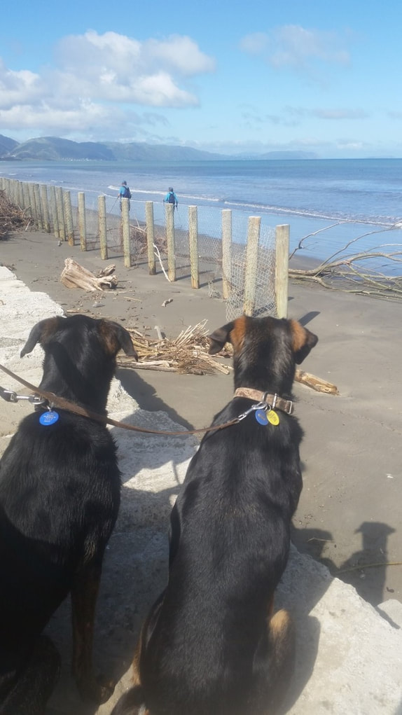
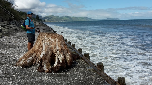
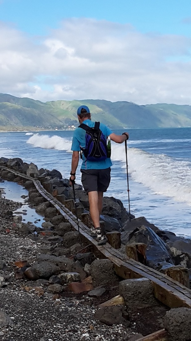
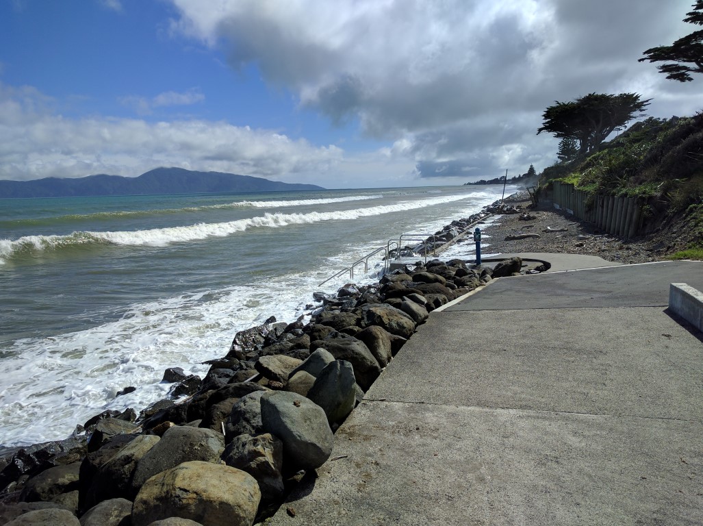
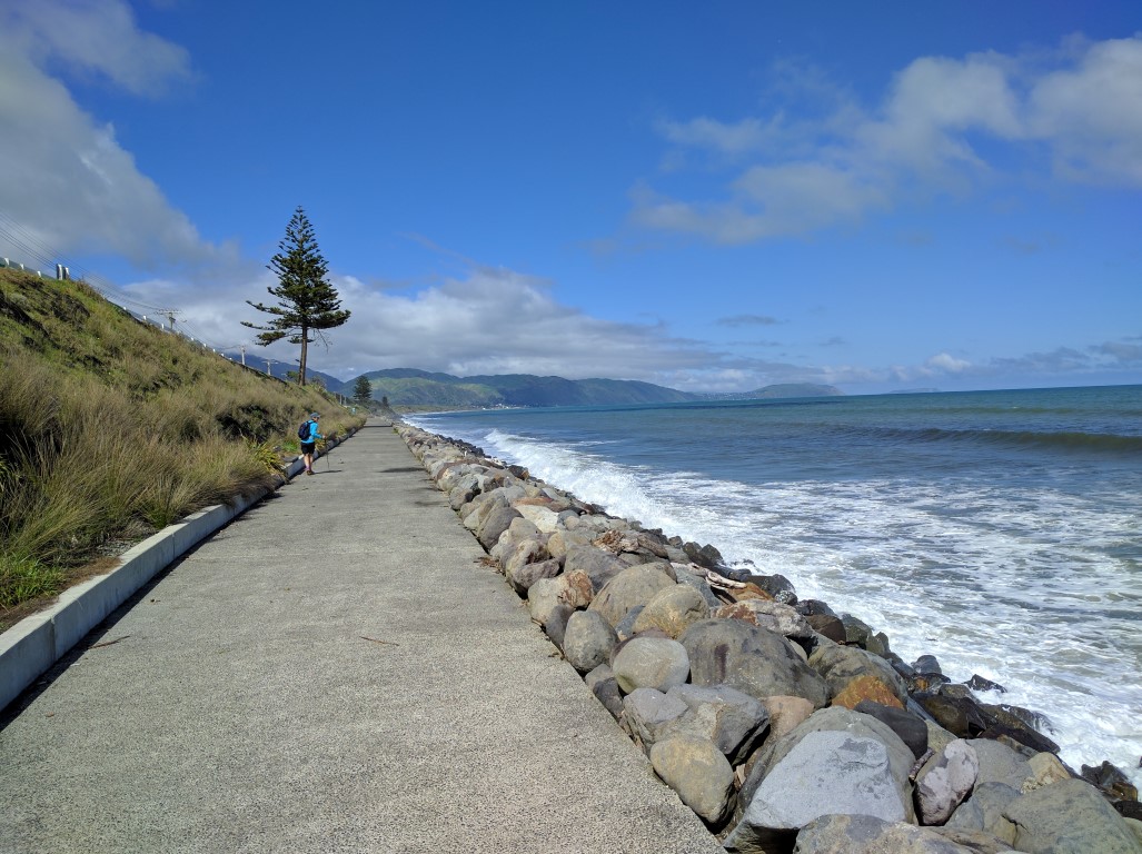
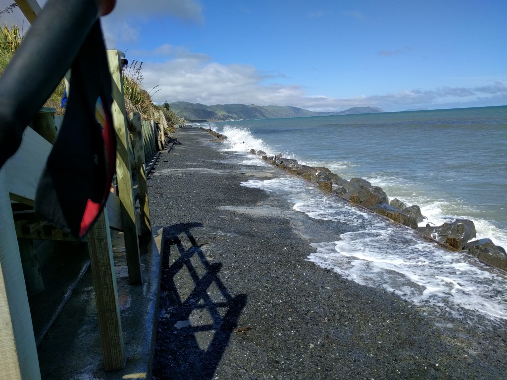
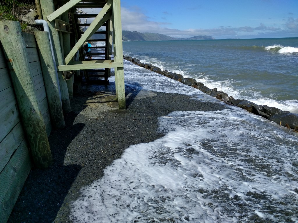
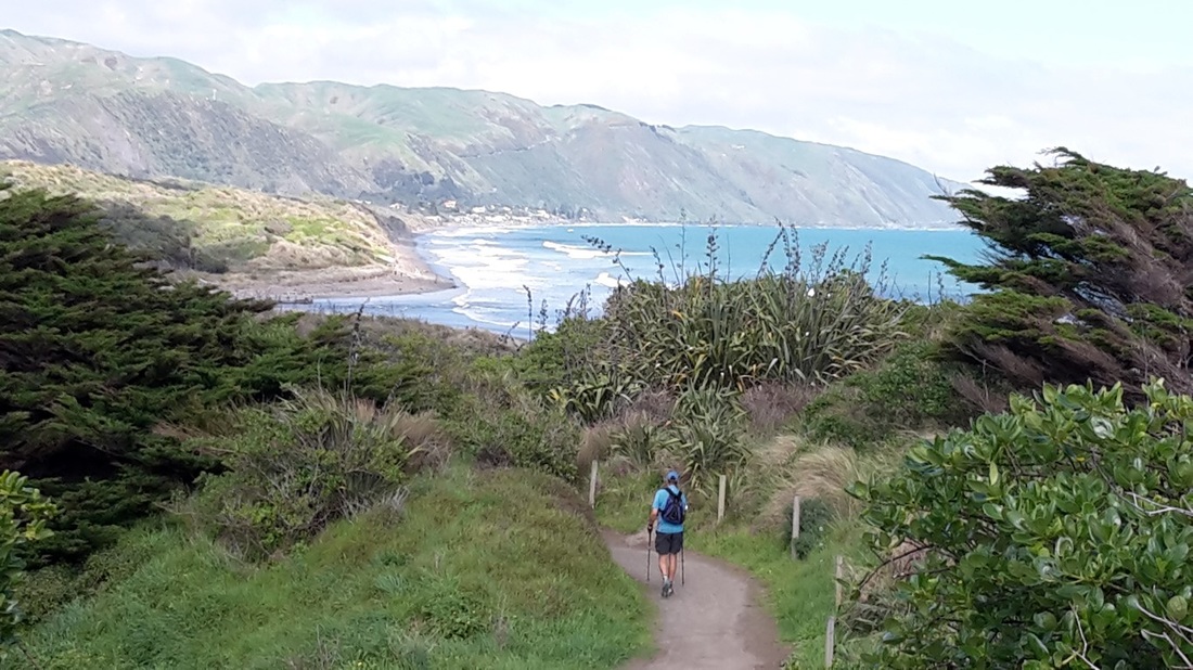
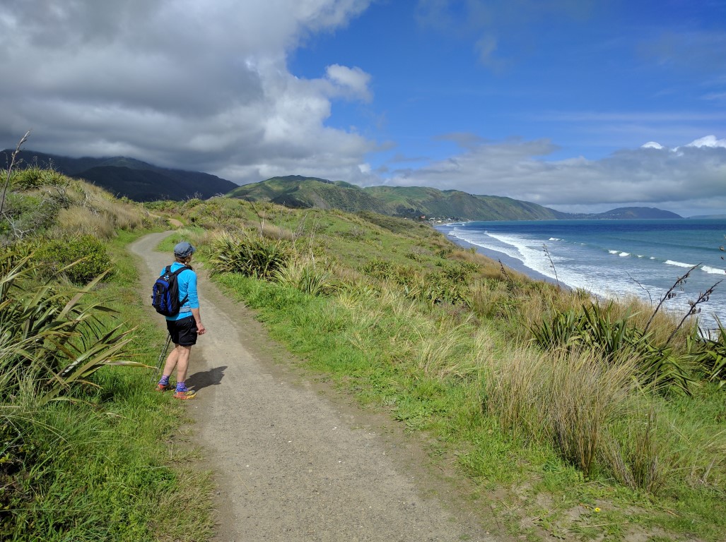
Today was the day for our first trip along Kapiti's new Escarpment Track - we had been deliberately holding off walking it so as to include it as a logical part of our TA journey. Belinda was teaching her usual Monday morning Qigong class so we couldn't start until lunchtime. We drove down to Paekakariki and started walking just after 12 noon on a spectacular day. The GPS data for the day's walk is here. We ended up walking to Porirua Railway Station (to catch a train back to Paekak), about 24.5km - so not a bad warmup to test our bodies! We carried our Z-Packs packs with a light load each. Once across to the eastern side of the rail line we were onto the actual Escarpment Track. One feature of the track is the good signage along the way that lets you know about the local history as well as the geological basis of the escarpment along which the track runs. The track is mostly fairly narrow and on steep terrain. You pass through a couple of stands of mainly kohekohe but much of it is through scrubby vegetation - although lots of effort is going into helping re-establish trees along the way. The climb up to a maximum elevation of just over 210m takes the first hour or so - this is a mixture of steady uphill paths and some fairly steep sets of steps (you can easily pick up the first set of steps on the GPS track after about 3.2km as we do our first zig-zag up a hill-face)! Having said that, when we saw the "down" steps as we progressed along the track, we decided that, on balance, doing it SOBO would be preferable to NOBO, in our opinion! Having reached the "top" it is still quite a long haul along the escarpment to Pukerua Bay, with a few ups and downs along the way - as well as a couple of beautifully constructed swingbridges across two gorges. As noted earlier, some of the down steps actually made us glad we were heading south, not north. We entered Pukerua Bay alongside the railway line and then it was through the streets (Belinda's family lived here for a few years when she was a kid, so a trip down memory lane!), over SH1 footbridge and up to the dairy for a well-earned ice-cream, drink and jetplanes (sugar fix!). From here the next phase is the Ara Harakeke trail, which takes us a further 9km to the Paremata Railway Station. The final stretch is another 6km or so through to the Porirua Railway Station. From Pukerua Bay to Porirua is mainly on sealed paths and footpaths and relatively flat after the initial downhill from Pukerua Bay. We did, however, get our best ever look at Taupo Swamp (usually driving past at 100km/hr!!). Having crossed the Paremata road bridge and viewed the old Bright Building Supplies site from the footbridge over the highway, it was down past Aotea Lagoon and the Police College, up through Gear Homestead and Adrenalin Forest high ropes course and then down the hill, over the SH1 off ramp bridge into Porirua and finally along a path beside Porirua Stream to the rail station. The next train arrived just as we got to the platform - I had insufficient cash for tickets but luckily had a Paraparaumu-Wellington 10-trip ticket that I could use rather than get tossed off the train for non-payment!! With the weight off our feet it was a relaxing half hour train ride back to Paekakariki to pick up the car - finally arriving hone about 7 p.m. A fantastic day for a "gentle" walk all in all :-) The weather wasn't looking too bad today so we decided on doing the next stretch - accompanied for the first 9.5km by our daughter Amelia and our "flatmates" Jacquie, with her 1 year old twins Blake and Ella!! A real family outing!! Belinda and I ended up doing over 17.5km to end at a cafe in Paekakariki (of course) - the day's GPS data is here. After babies were fed, Belinda's sister Julia kindly dropped us all off at the Otaihanga Boating Club about 0840 where we set off along the south bank of the Waikanae River through the estuary reserve and out towards the beach. The girls and the babies had a short road detour along Manly St for a couple of hundred metres nearing the beach (some hard stuff to handle with a "twin buggy"!) and met us soon after back on the beach. I should note that we had the dogs with us today as well - out farmdog Quinn and his best friend, Jacquie and Mark's dog, Little Bear. Quin is the black/tan/white one, Little Bear the darker one :-). We only had a short walk along the beach before we were rejoined by the detouring team and then set off along the familiar beach towards Paraparaumu Beach village. The dogs, of course, had a ball as dogs are wont to do on beaches! Even though we had only done 5km we "needed" to stop for an ice cream and to give the babies a break from the stroller (and some milk for them). At least, that was the excuse!! It was nice for Belinda and I to walk with company, and we we not in a hurry, so made the most of the leisurely day! Then it was on for another 4.5km or so before we came to a piece of beach that we couldn't pass with the stroller (almost high tide!) so Jacquie and Amelia headed up onto Matatua Rd and called Julia to come and collect them while Belinda and I headed on towards Raumati and then Paekakariki. In fact we made it only another 100m or so before we too had to head up onto Matautua Rd because we didn't want to wade through waist high waves! We did this for about 1.5km, rejoining the beach by Marine Gardens at Raumati. Then it was 3km more down the beach to the start of the Queen Elizabeth Park trail. Most of this stage was walked on a raised path behind a low seawall that kept us out of the water, it being around high tide. Most of it was sand/shingle but there was a small section near Raumati South of nice paved walkway! Then it was off the beach into QE Park for the walk to Paekakariki. Belinda used to ride her horse all through here as a kid, although it looks a bit different now, with nicely developed shared walk/cycle paths and plenty of toilet facilities! Walking through here we hit our highest point for the day - a massive 15m above sea level!! As you can see, it was not a day for strenuous climbs (more of that ahead over the next few weeks and months!!). But it was a pleasant walk and we met a number of walkers and cyclists which was great to see (being school holidays might have boosted numbers on a weekday). After about 4km through the park we arrived at the Paekakariki Surf Lifesaving Club which it pretty much at the very north end of town. From there it was only another 2 km to the cafe in Paekakariki where we met with a friend, Sarah, who lives there for a drink (and lunch for Belinda and me). All in all, a very leisurely 4.5 hours in total, including breaks along the way. We rang Amelia who drove down to pick us up and take us back home. We have been deliberately holding off doing the new Paekakariki Escarpment Track, so it will be our first time on it when we tackle that in our next day walk.
|
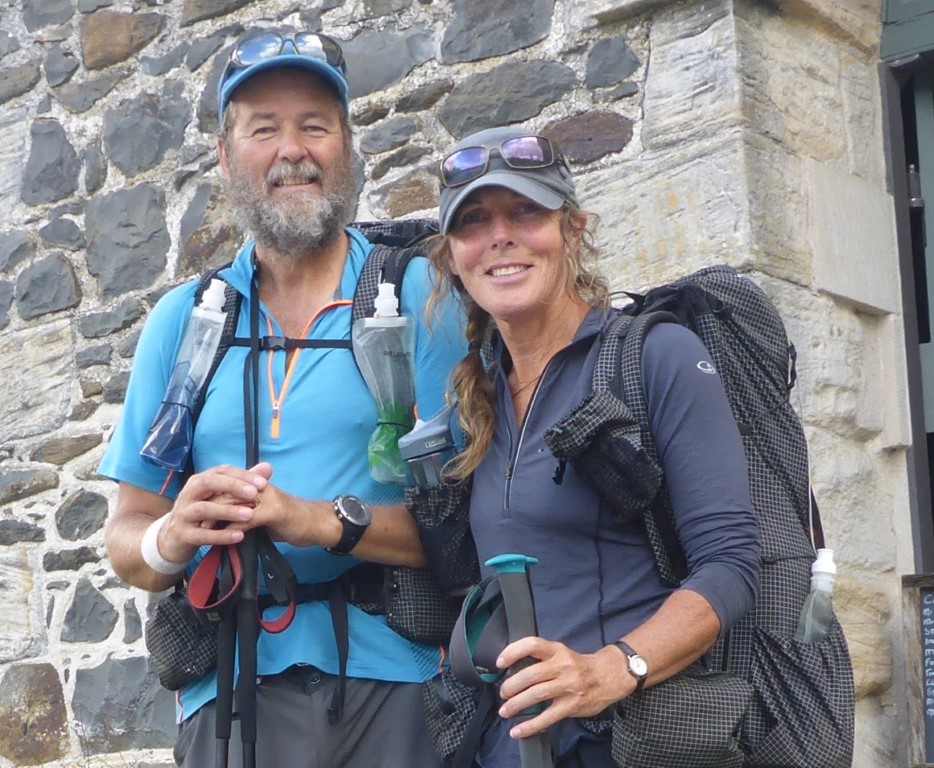
AuthorBelinda and Anthony (aka Tony) Hadfield made a decision, in their late 50's, to do something a "bit different" and walk New Zealand's 3000km Te Araroa Trail over summer 2015/16 - although updates will now tell you that this plan will take longer now!!. As the old saying goes - "don't leave home 'til you've seen the country"!! Archives
January 2018
Categories |


 RSS Feed