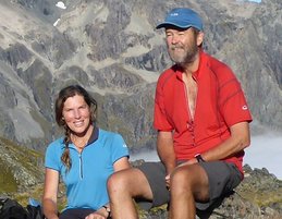
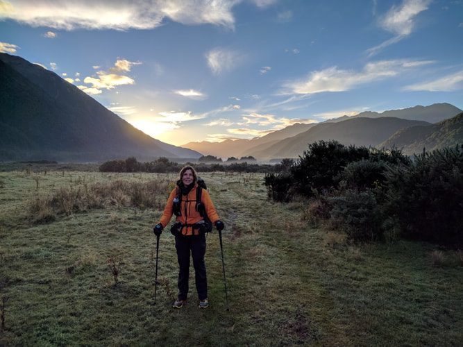
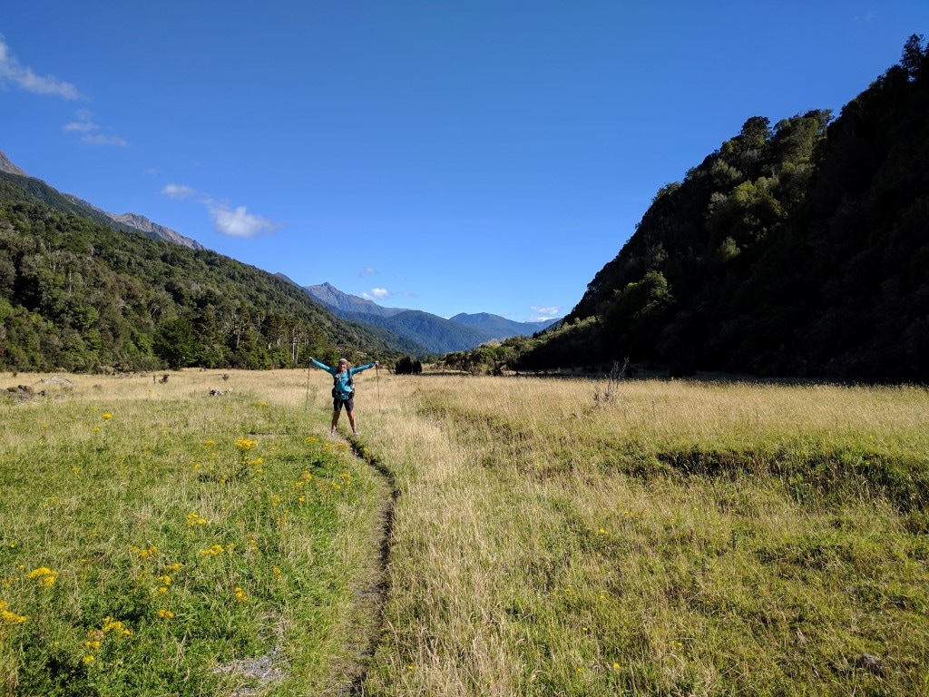
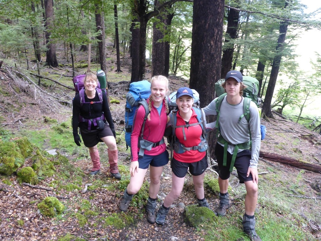
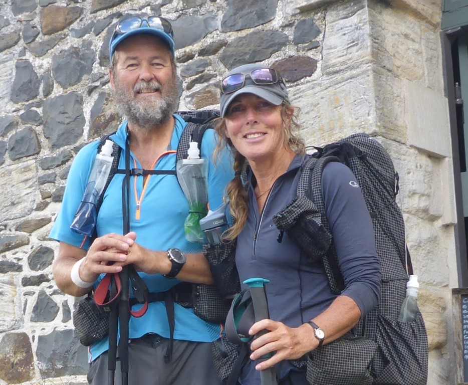
 Belinda here:) When people hear we are walking Te Araroa, apart from general questions, the one question that often comes up is “what has been your favourite part?” For me anyway, there are far too many experiences, good and otherwise, that can make up a “favourite part”. The question did however; start me thinking about what it is that we get from walking Te Araroa. In reality, it’s rather like trying to describe the 'Dao’, if you can describe it, then that is not it! Not to be deterred, I kept working the thought and have come up with a couple of things that possibly, help towards explaining why this whole experience is so seductive. Firstly, ‘acceptance’! You have this idea to journey through New Zealand along Te Araroa. That can take all sorts of shapes, from walking every step of the way (as we are) to walking and hitching, walking and cycling or section hiking parts. Whatever it is, it is your journey. There is however at some point in time a level of acceptance that arrives for whatever the trail presents you with. I now find myself seeing the uphills, the downhills, the rocks, the rivers, the beaches, the roads, the forests, the mud, the blisters, the aches, the pains, the food, the weather – all in a similar light of it just being what it is. Hardly a flicker of emotion crosses my mind and you just get on with it. Secondly, with the acceptance of what you are presented with, I believe, comes a ‘letting go’. With letting go, it means you are totally able to absorb into your being the pure beauty and nature (good stuff and hard stuff) of all that Te Araroa offers – and there is so much on offer. From the people to the land, Te Araroa is filled with generosity and challenges and being absorbed into all of this, I find huge contentment and fulfillment. I have at times used the following description or analogy. In our everyday lives, we may have our own exercise or health regime that we know helps to keep us in better mental and physical shape, more able to cope with life’s stresses. It is absolutely imperative that we have this and for me that is a little bit like ‘refreshing’ the screen of my computer each day. By comparison, to experience the long distance walking of Te Araroa, it is rather like a total ‘reboot’ of the computer. The sense of health, fitness and general wellbeing is an amazing feeling, understandably attractive, and as mentioned, seductive. This analogy is all very well and, even though we still have 700kms of TA to walk, I am beginning to feel concerned about how often I might want my being to be ‘rebooted’!!! Maybe PCT, CDT or AT in the future, who knows? To finish off, I think my overwhelming feeling for walking Te Araroa is one of gratitude. I am so grateful and appreciative to have the opportunity to experience Te Araroa. A huge thank you and aroha to our beautiful Aotearoa (New Zealand) and her tangata (people). The experience for me so far, has been ........well, in an absolutely positive class of its own. : ) B
8 Comments
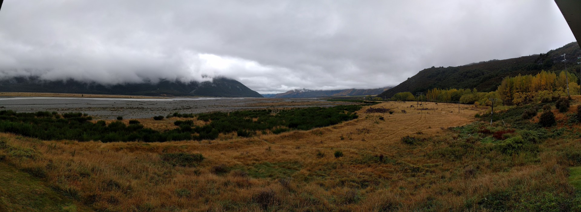
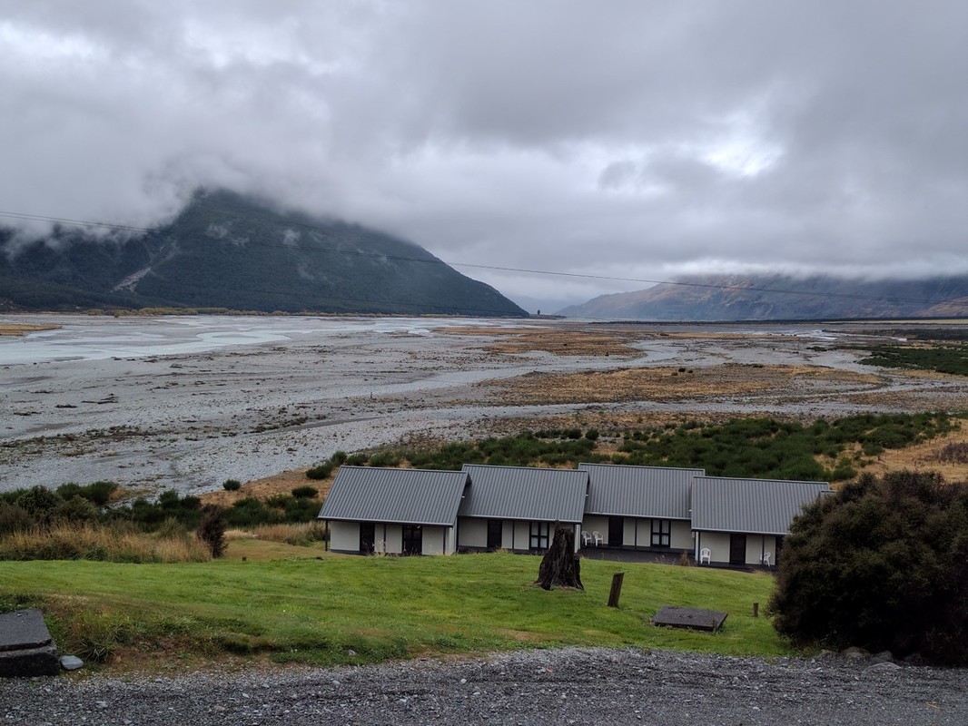
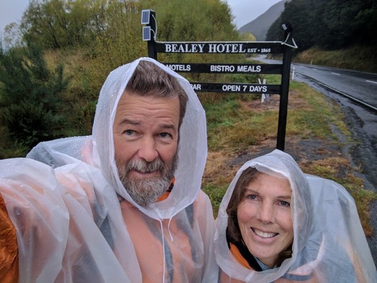
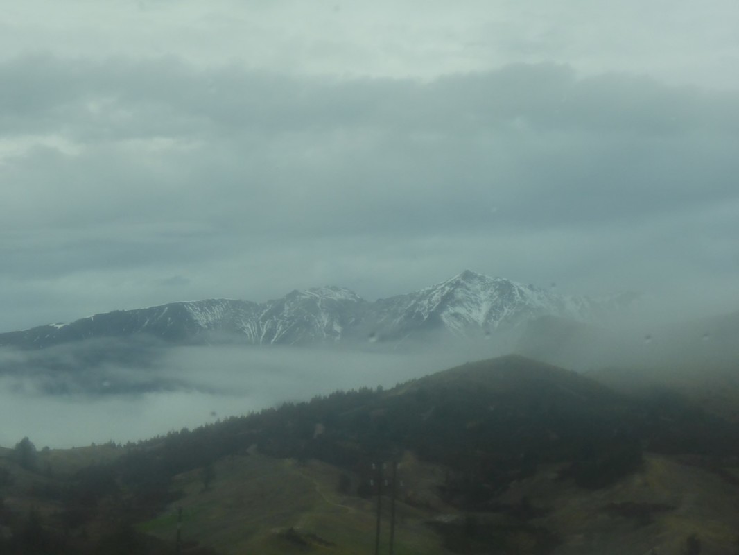
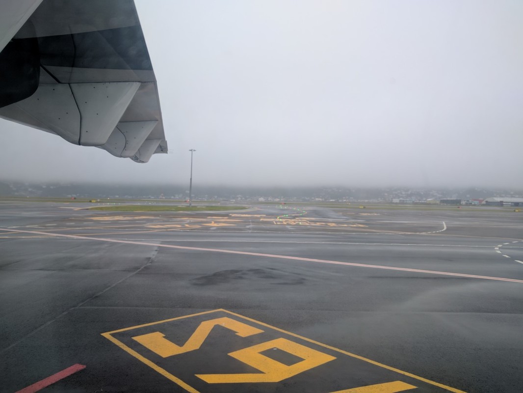
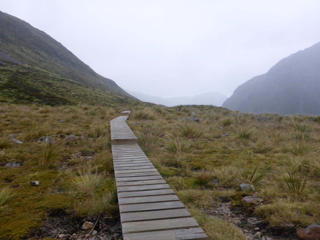
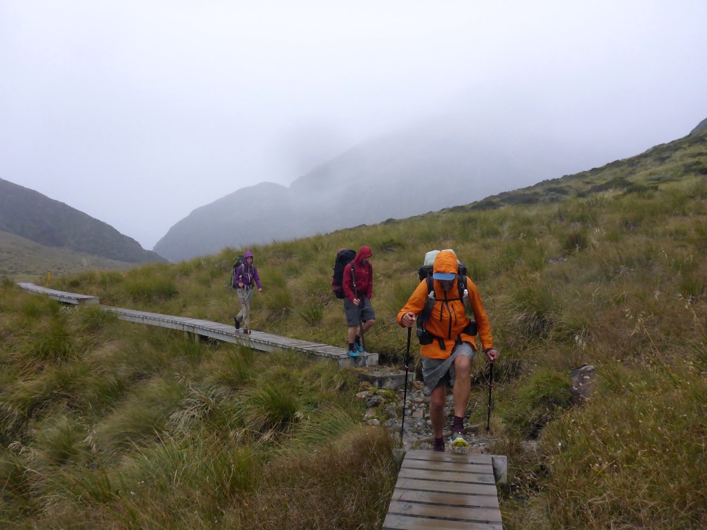
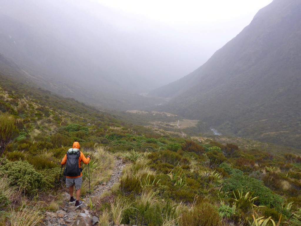
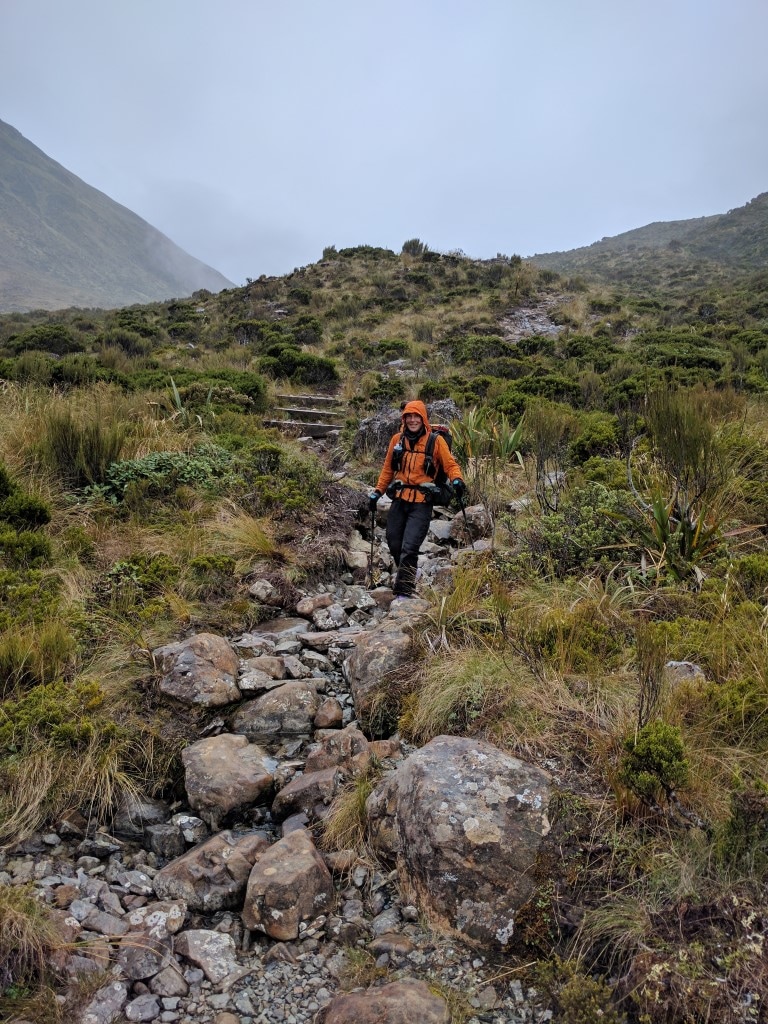
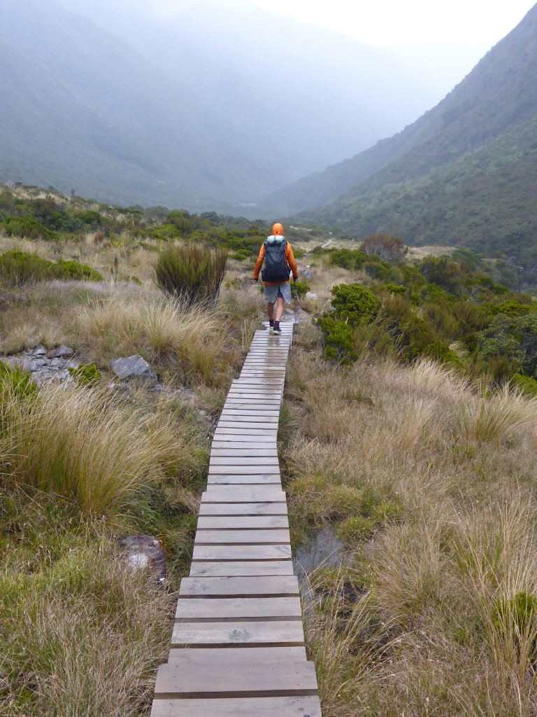
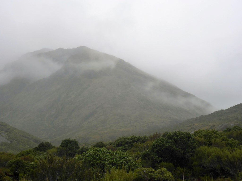
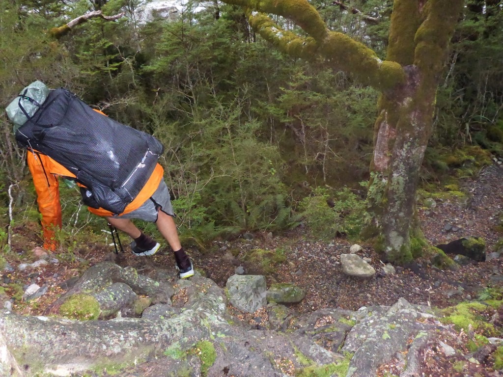
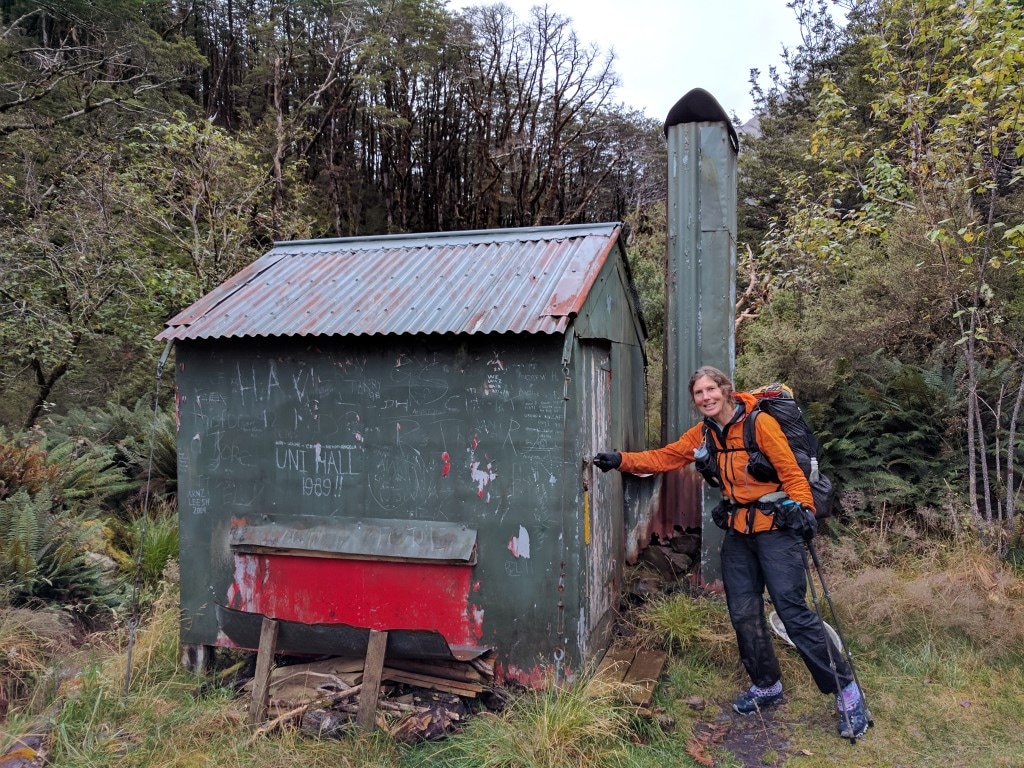
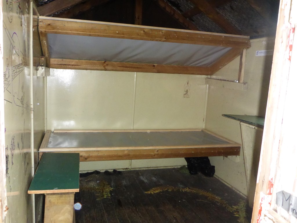
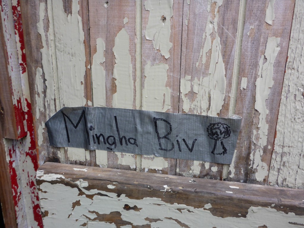
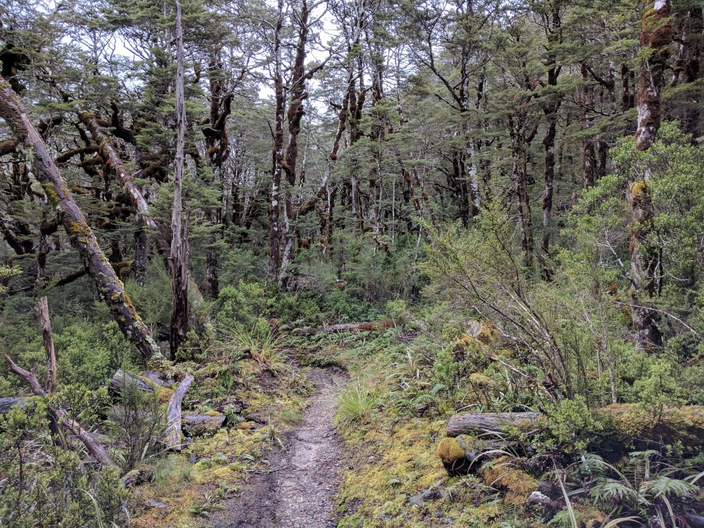
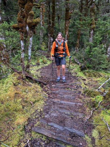
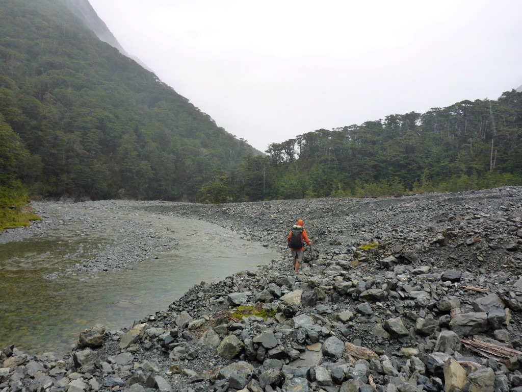
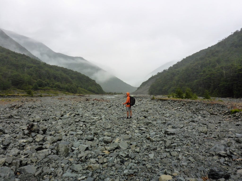
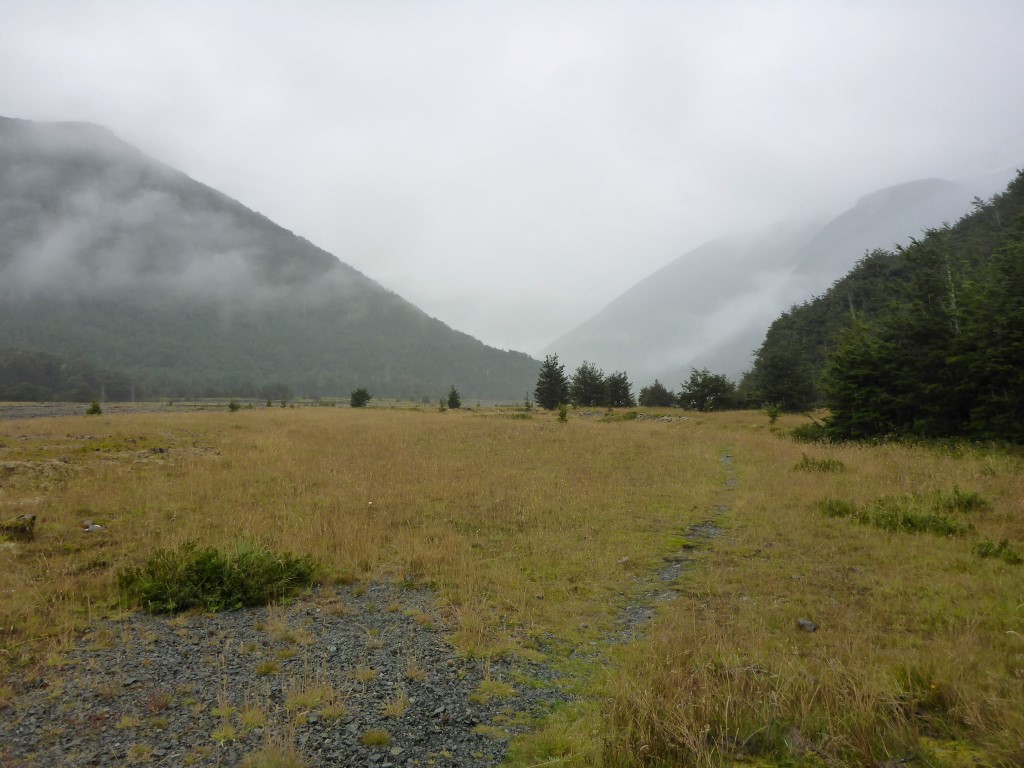
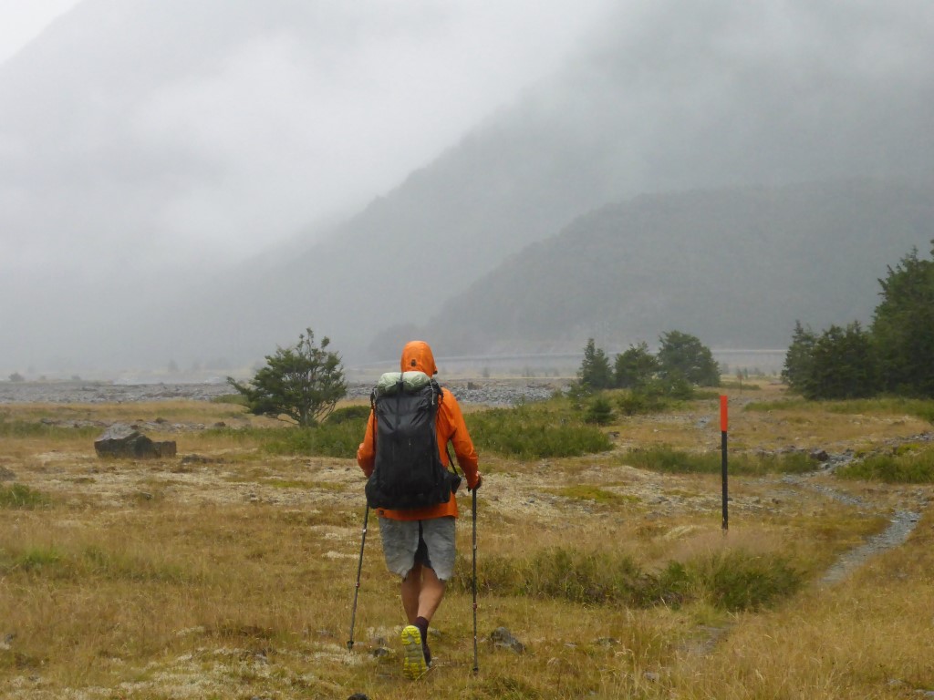
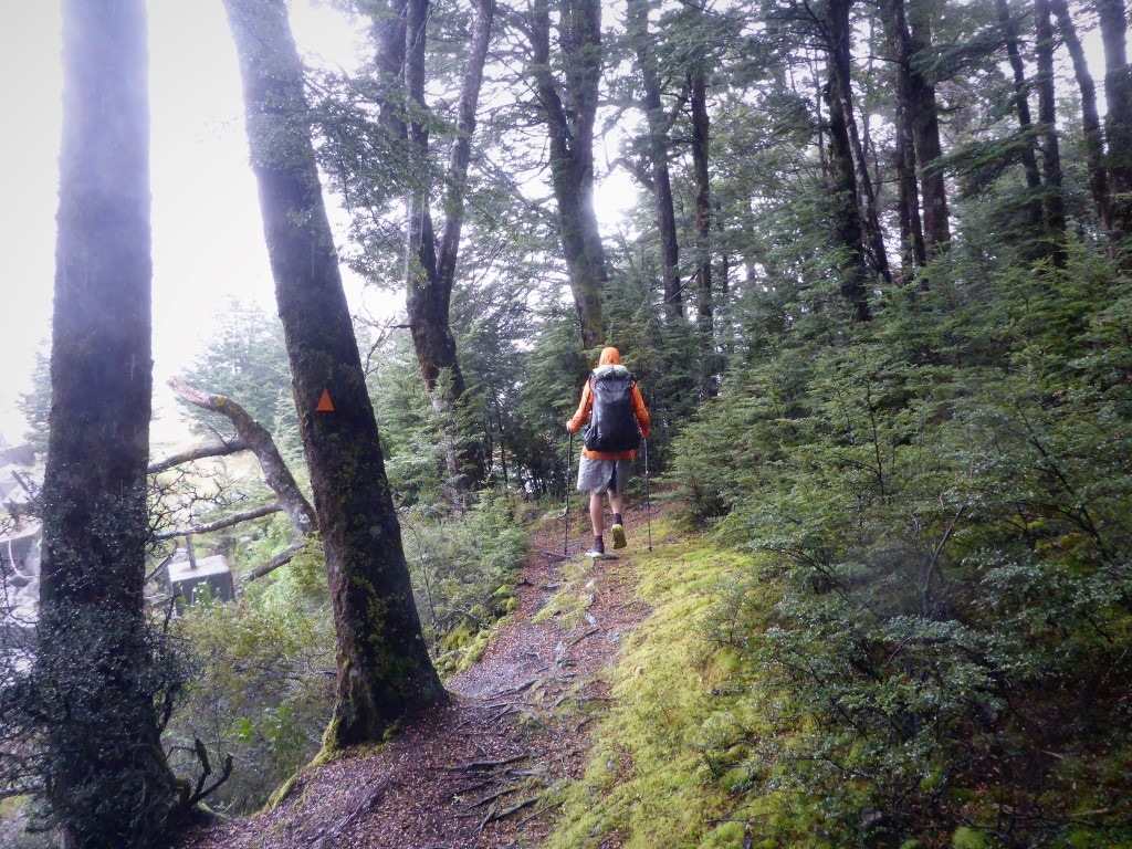
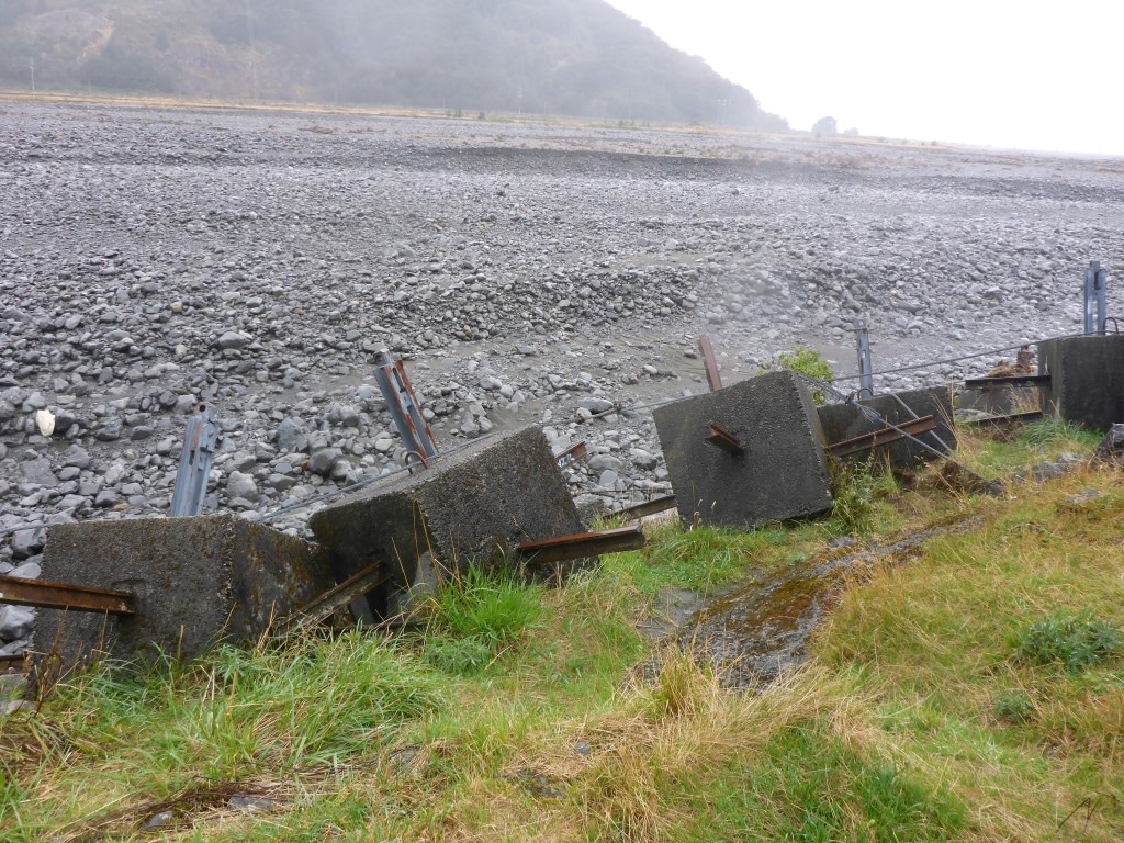
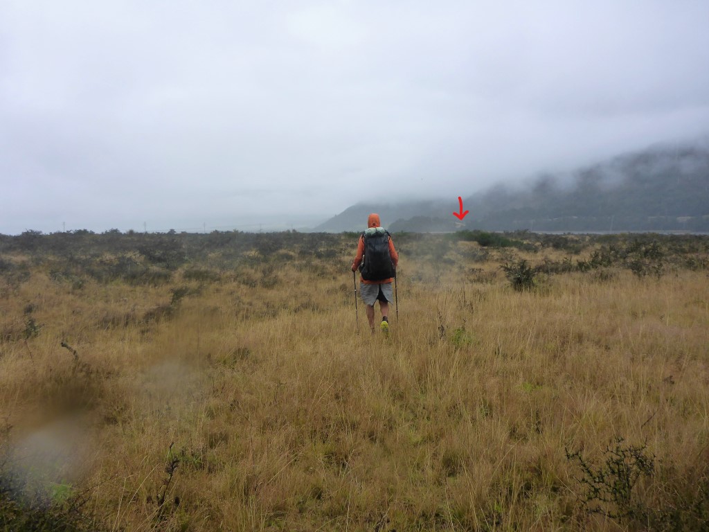
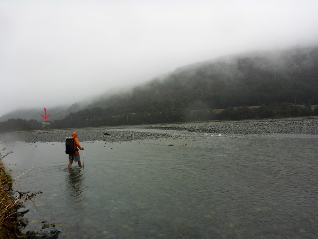
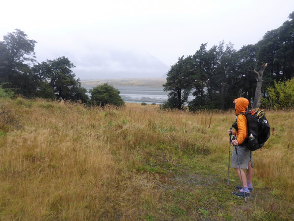
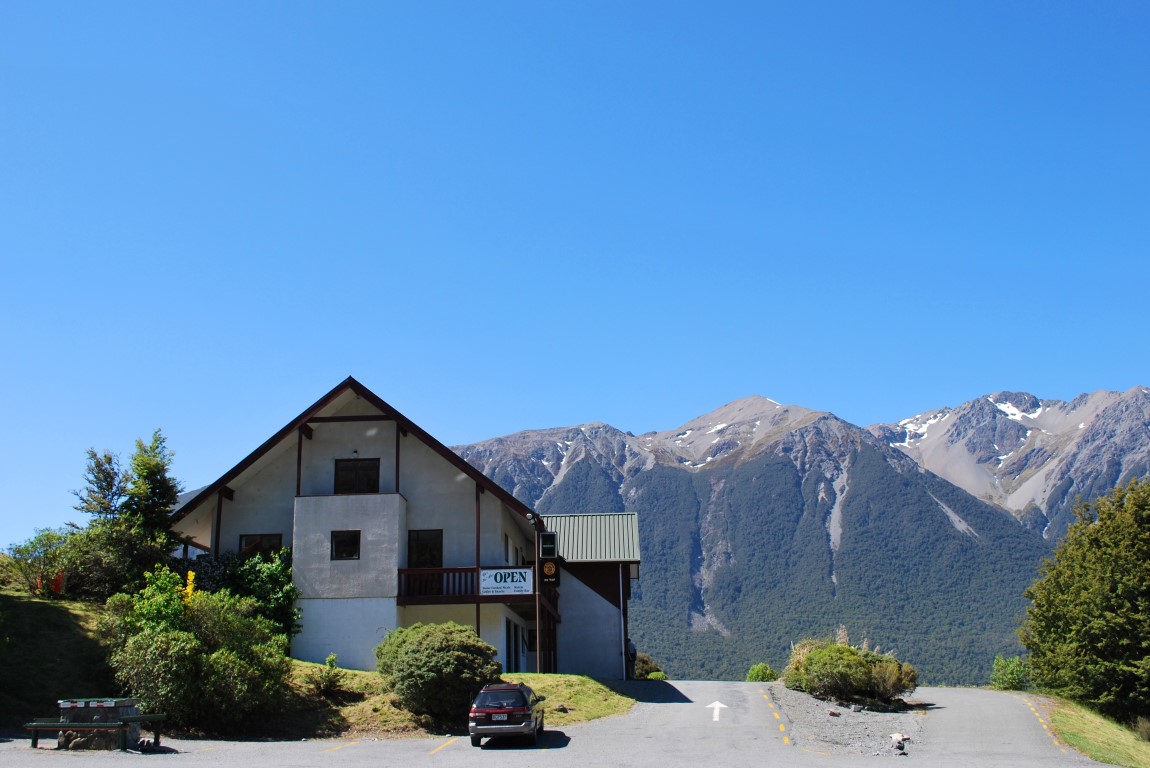
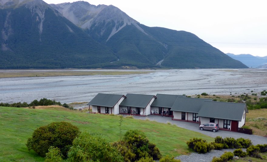
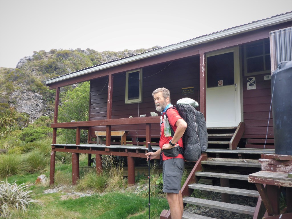
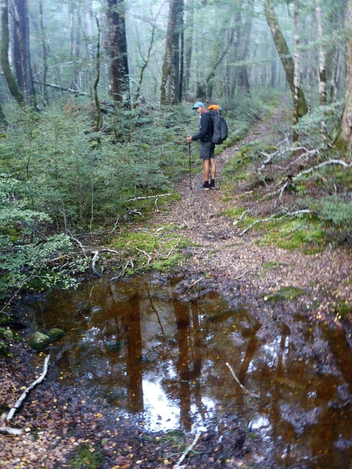
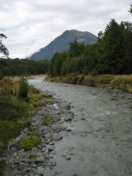
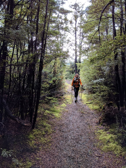
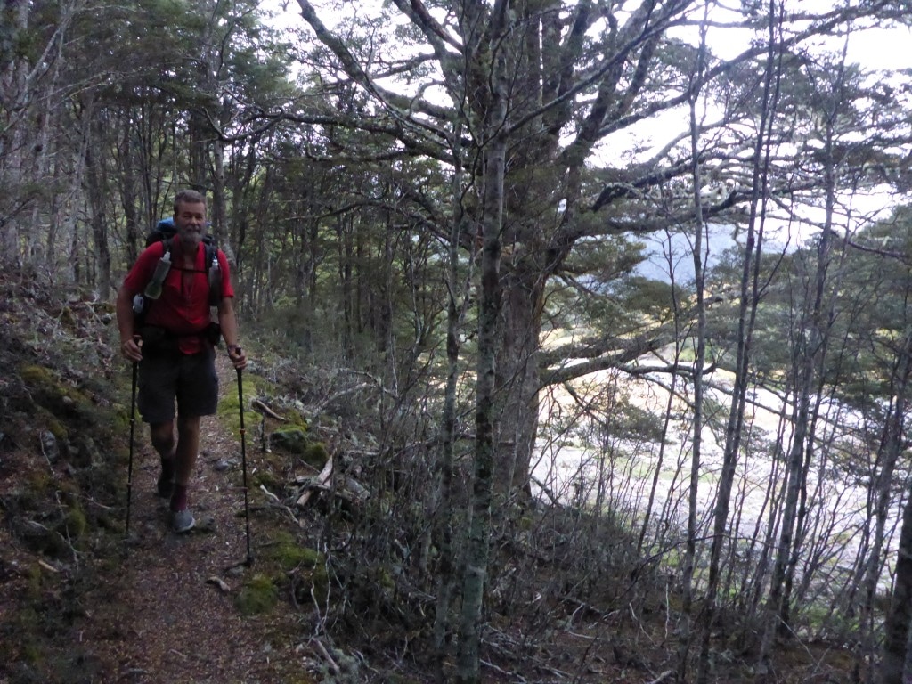
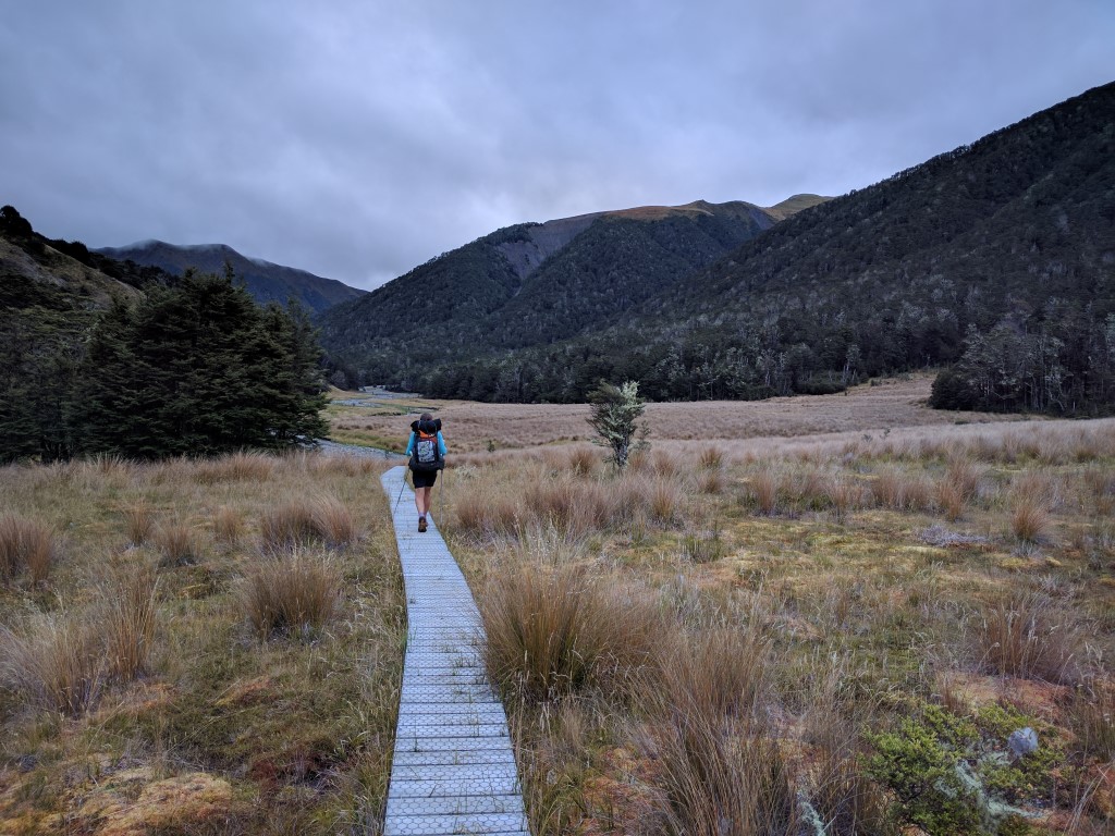
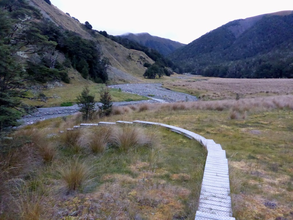
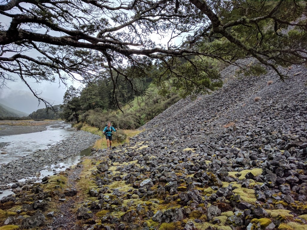
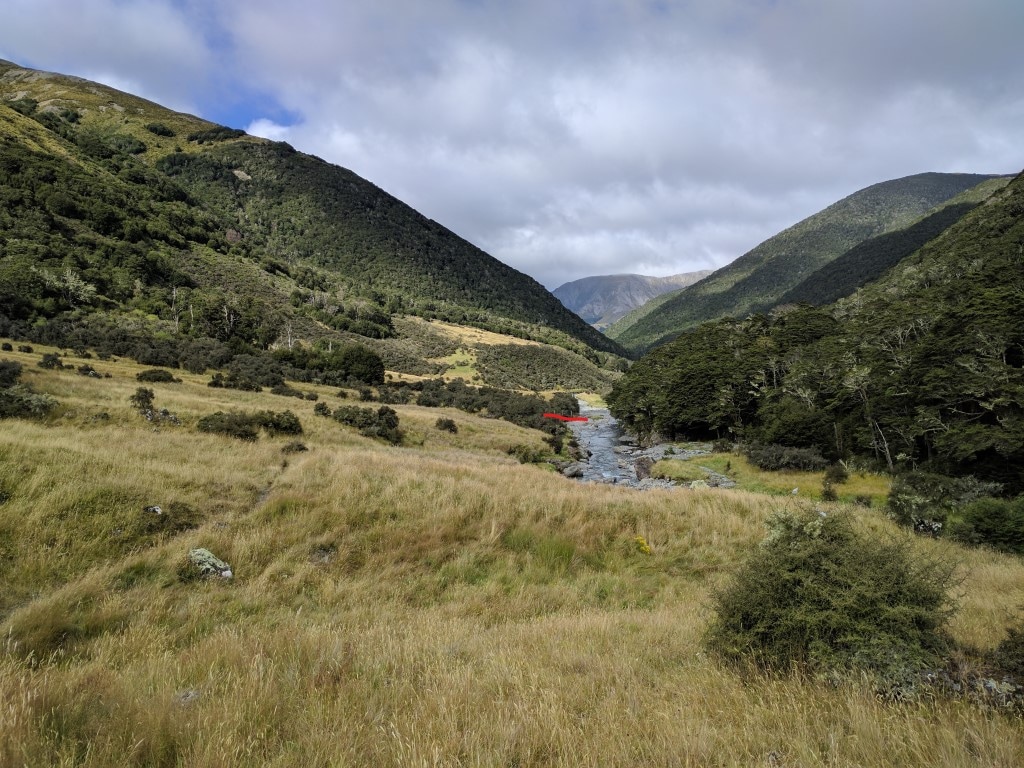
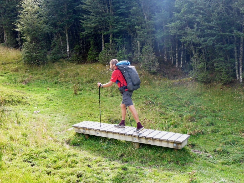
We booked a shuttle to pick us up about 0915 Thursday here, that gets us to Chch airport by 1130, then a 1335 flight to Wgtn. Looking at prices of buses and ferries (not even considering we might have to stay another night somewhere), it was cost effective to fly. All the booking went fine - borrowed the hotel phone to ring West Coast Shuttles to confirm that they can pick us up at the hotel and then booked that online. AirNZ flights were readily available and not too exorbitant for a last minute booking! Our main concern was that cyclone Cook was coming down the country and might impact flights - but what can you do?! We had lunch and dinner at the hotel and did more internetty stuff up there. Organised gear in our room and did a bit of reading (as mentioned, wifi doesn’t reach the units) and just generally rested up :-) Our unit was relatively spacious with separate area for lounging so it wasn’t a hardship - also allowed us to spread stuff out for drying. There was plenty of hot water so we were very clean by the time we were ready to go on Thursday morning!! Remember the phone I picked up at Aickens carpark? Well, I found the user account (it wasn’t locked) and emailed the address to see what we could do to get the phone back. It wasn’t until we were close to Chch and back in cellphone reception that I picked up the response. It belonged to a student in Chch who had been tramping up the Taramakau and Otahake Rivers - she was very pleased and keen to get it back (the cracks were already there - it hadn’t been run over). Long story short - Verina made contact and met us at the airport to pick up her phone. She was grateful to get it back, so a good outcome all round :-) While the shuttle lady had said we could wait at the hotel on Thursday morning if it was raining (rather than at the roadside) her preference seemed to be the road. We decided we would wait at the road in the rain (wet weather gear on with ponchos over the packs to try and keep them a bit dry!). We were there just after 0900 expecting them about 0915 or soon after. At 0935 they still weren't there so I shot back up to the hotel and rang West Coast Shuttles to check. They weren’t sure where the bus was but said it hadn’t gone through early so shouldn't be too far away. Of course it turned up just as I was heading back down to the road!! A two hour or so trip (from memory) had us dropped off at the Chch airport terminal in plenty of time. Apart from meeting Verina to get her phone back, we had lunch and wandered around to kill an hour or so. The bad news was that lots of flights were delayed or cancelled (cyclone Cook effects) - the good news for us was that they were all further north (Rotorua, Tauranga, Hamilton) so our Wellington flight was pretty much on time :-) We got away OK but were told halfway up that we were in a hold as 2 of 3 flights had just had to do a go-around because of visibility issues at Wgtn! Then two minutes later we were told the hold was cancelled as they had managed to land - yay! We headed up to Porirua (where it was reasonably clear) and came in from the north - heading into what looked like a pea-souper!! The first bit of Wgtn I saw was Evans Bay, just before the airport so we were lucky to get down - a round of applause for the pilots broke out - nothing dangerous, just everyone happy to be on the ground rather than diverted somewhere else!! A taxi to the train station, followed by a train to Pararparaumu and another short taxi ride saw us getting home around 1645 - the end of another section of the journey that is Te Araroa!! Nice to catch up with Jacquie and Mark and the twins, as well as the dogs (of course!). Had a slightly more leisurely start today, although still arise at 0645 - plenty of time for hot drinks and a BCC cooked breakfast instead of muesli for a nice change!. It was slightly warmer this morning as it had clouded over during the night, but still a little cool (at 1070m asl). Jakob and Nicholas left separately (both heading in the opposite direction to us) followed not long after by Jeremey and Constance and ourselves, southbound, at about 0900. We reached the junction with SH73 after about 3h40 walking, and then the Bealey Hotel at about 1420 after covering 17.2 km (it takes longer to get down the Bealey and across the Waimakariri than one thinks!). A 5h20 day, pretty much all of which was walking, including quite a few stops to change clothing - warm then cooler, wet then not quite so wet! GPS data for the day is here. By the time we left at 0900, it had started to drizzle so we were into wet weather gear to start the day. It was a funny sort of track today with an initial slightly steeper downhill stretch that included stony underfoot as well as some marshy bits, with some covered by boardwalk sections! This is still the Coast to Coast route so I guess some of these areas could turn into an absolute mudbath with so many feet tramping them, without putting bits of boardwalk in. Following the Mingha River down, we came to Mingha bivvy after about 2.5km. The downhill eventually leveled out a bit, although there was still a little bit of up and down through bush where the river narrowed into a difficult gorge - most noticeable being the climb up Dudley's Knob (another couple of kms after Mingha bivvy). Having left Goat Pass Hut in misty drizzle, with rain gear on, we only had a brief stretch where I took mine off before it got too wet again. The wet weather also affects photography a bit - with me leaving my phone in its waterproof case much of the day. So it was mainly up to the Panasonic rugged camera (FT6), carried by Belinda - hence a lot of photos of me today and less of B!! Eventually we got into the stony river flats as the Mingha valley widened somewhat. This was a mix of raised bush/grass bits and walking on stony river bed. Not always easy on the legs especially as we had done a lot of it over the last several days. My ankle had felt OK overnight but was sore again by mid-morning. Eventually we came to the confluence with the Bealey River beside SH73, crossing this with no issues - a random guy was wandering around here and came over to chat with us. Turns out he had turned up to meet Jeremey and Constance (they didn’t know he was coming) - so we told him that we figured they were no more than maybe 15 minutes behind us, depending on how long they had stopped for. So they won’t have to hitch back into Chch!! From here we followed a gravel road and then a bit of SH73 (busy with narrow road margins - not nice!) before getting back onto riverbed alongside the Bealey for about 3km to Klondike corner. We did miss any sign that should have taken us off SH73 back onto the riverbed but eventually realised we had passed it and found an alternative spot to bash our way through to the riverbed (others seem to have had the same problem)! Soon after Klondike Corner, the track petered out and we could see no markers at all. The next 3km was across a wide expanse of river and riverbed - some open bouldery dry beds and some scrub and grass - where the Bealey flows into the Waimakariri. This was all guesswork and following the GPS, but it wasn't pleasant going, taking somewhat longer than we had anticipated - about an hour to get from Klondike Corner to SH73 atop the grassy hill near The Bealey! We crossed the Waimakariri in three braids so nothing was over knee height - the persistent drizzle was not enough to cause any significant increased flow! The hardest part was that the stones on the riverbed we covered in brown algae which made it a bit like crossing an ice rink in places - still, all safely across! Once across we had to find how to get out of the riverbed and up to the road again(we could see it just above us). This was a minor mission in itself - although we saw what looked like a small grassy hill between the trees that looked like a possible exit spot. We did see some evidence of others going up there but we had to wade through long grass, scrub and blackberry to get up there - not so much fun! We didn't know exactly where the Bealey Hotel was but were very pleasantly surprised to find it was only 100m down the road from where we emerged, wet and bedraggled! A quick walk saw us there - we dropped off all the wet gear in the entrance and went up to check that they had a unit available tonight as we had originally booked tentatively for tomorrow night (obviously no cellphone coverage since we left Boyle - and none here either!). All good. We're thinking that, for a number of reasons, not least the crappy weather coming up in the next week or so, and a few aches in the legs that have developed over the last few days, that this might be a good time to stop for this season. After checking weather etc via the local wifi, we decided that is what we would do, so over dinner (wifi doesn't reach out unit which is a bit of a pain) we settled on a plan. Stay another night (Wed) to wind down, dry out and organise transport and then head for home on Thursday.
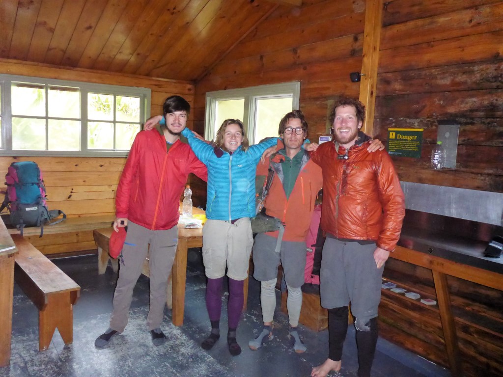
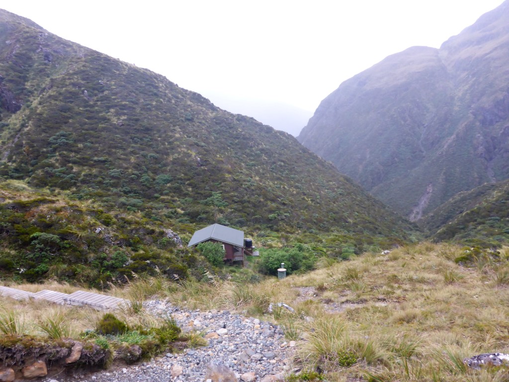
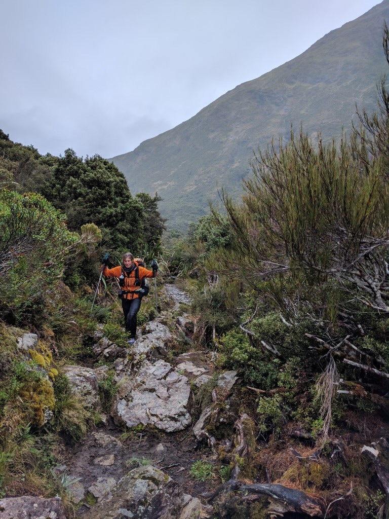
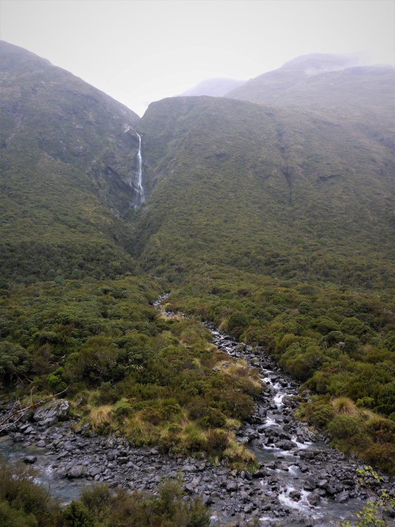
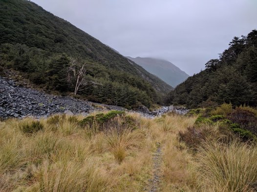
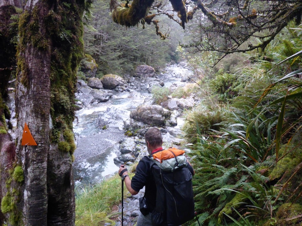
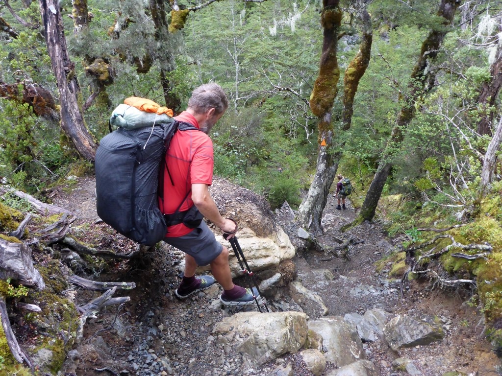
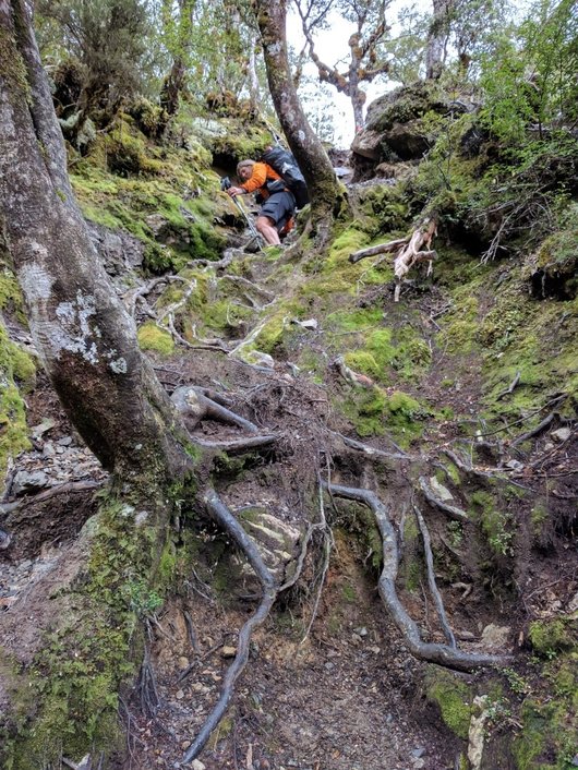
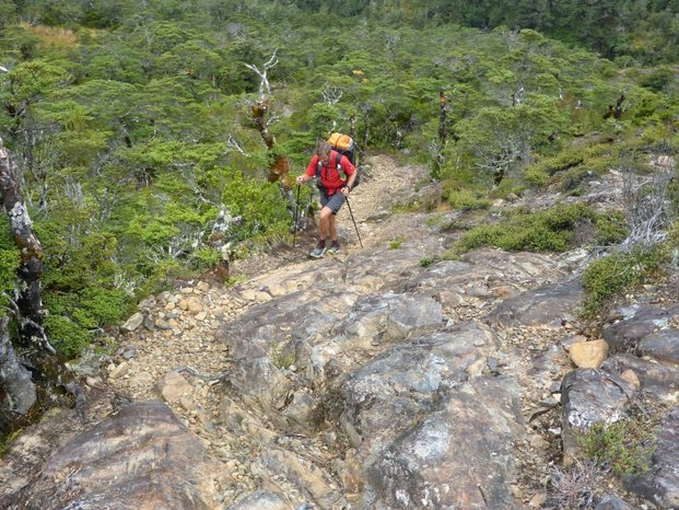
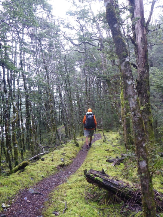
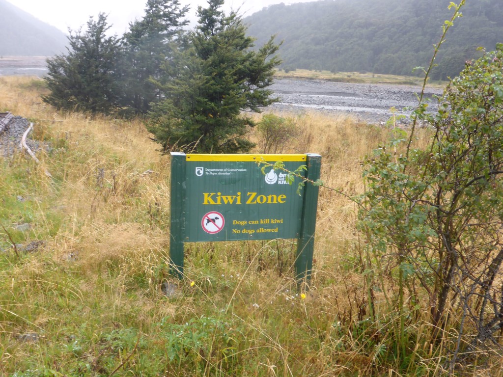
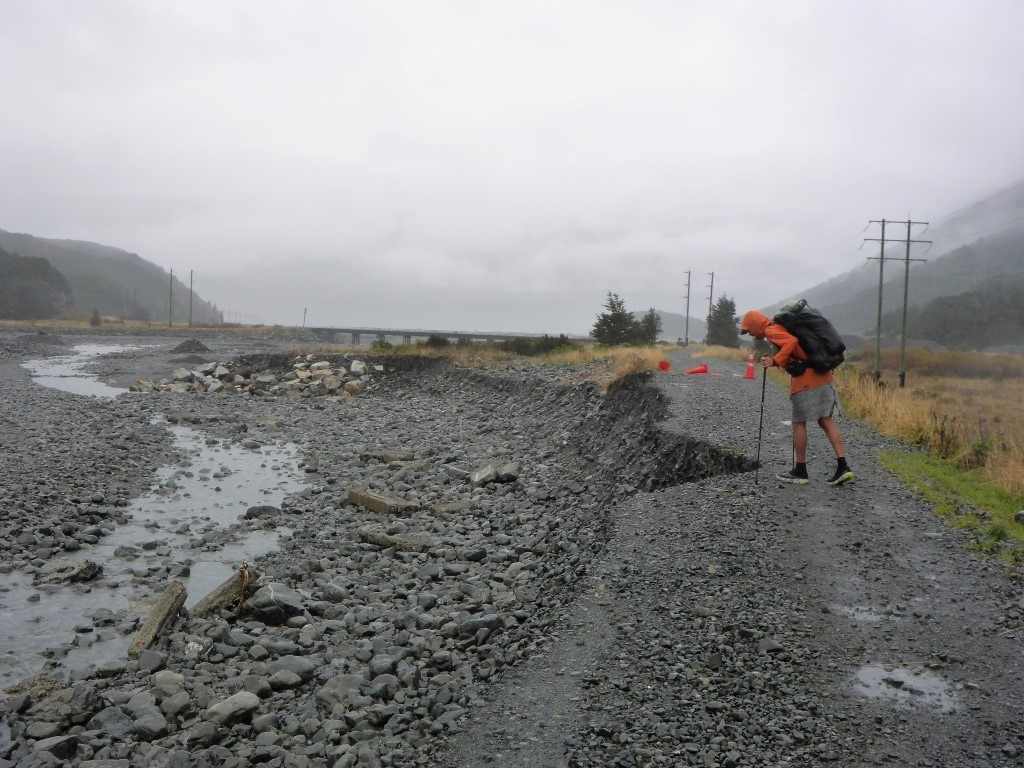
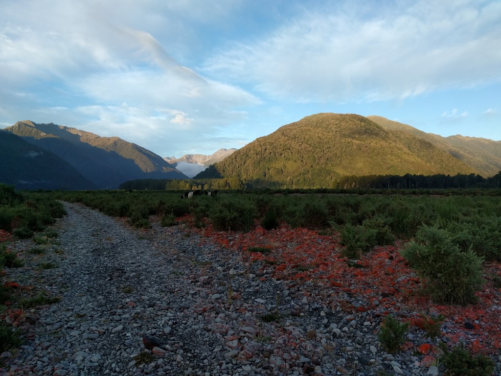
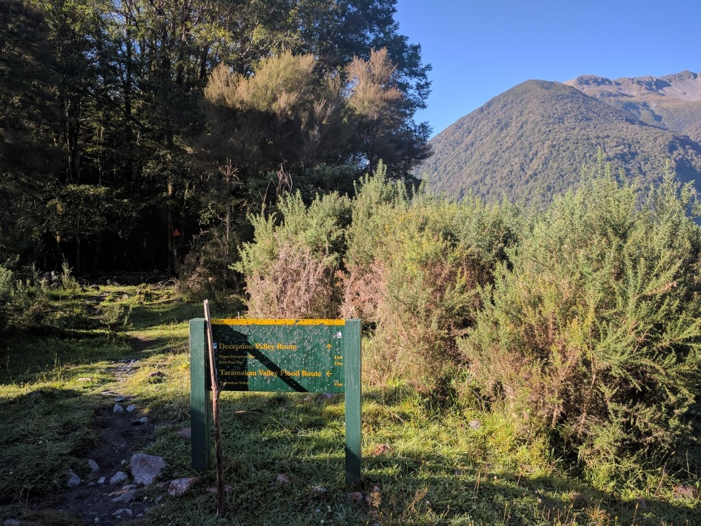
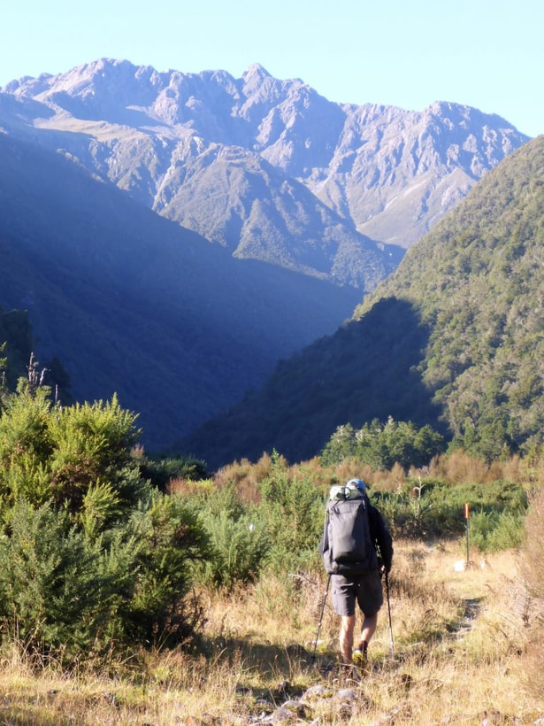
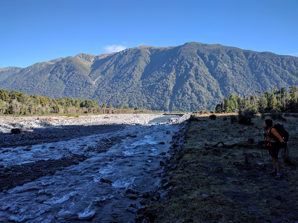
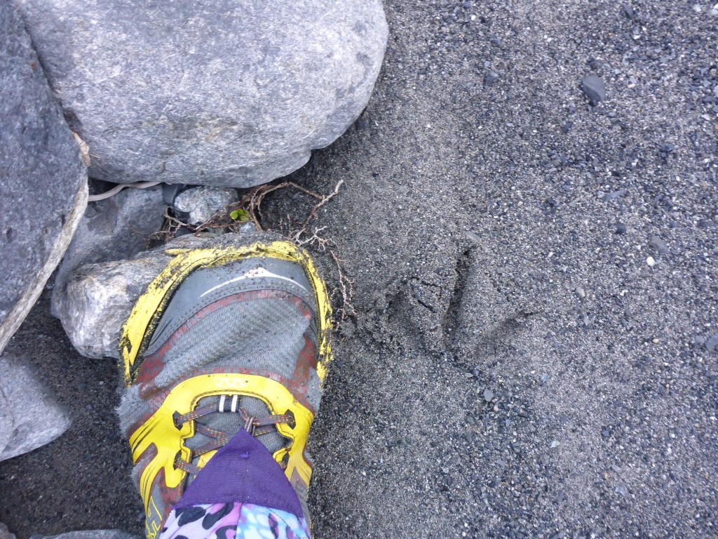
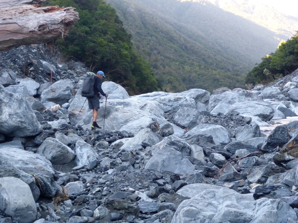
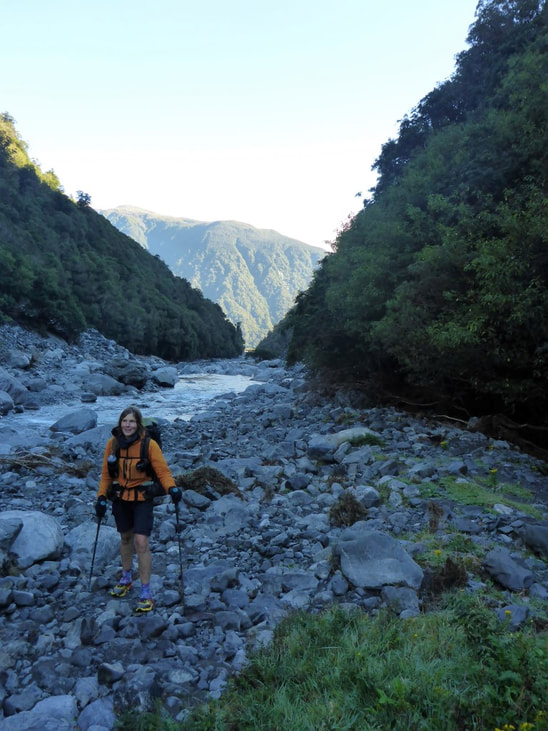
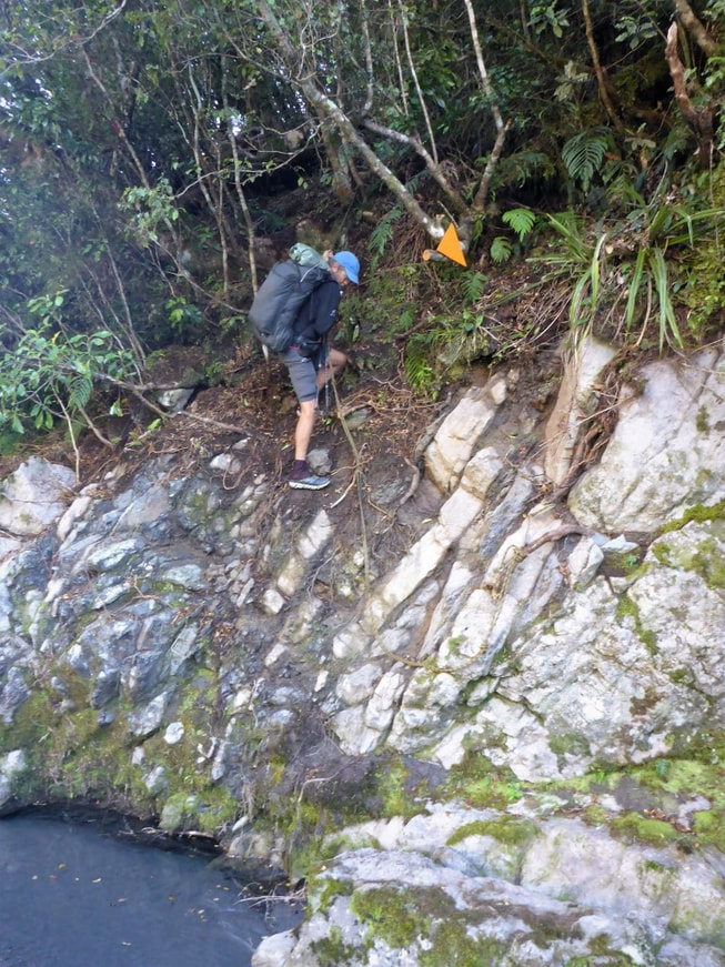
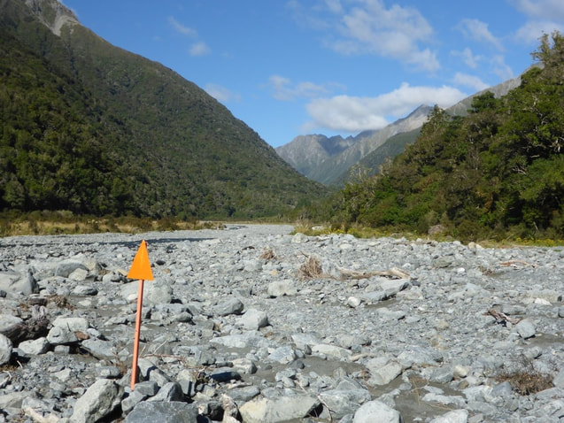
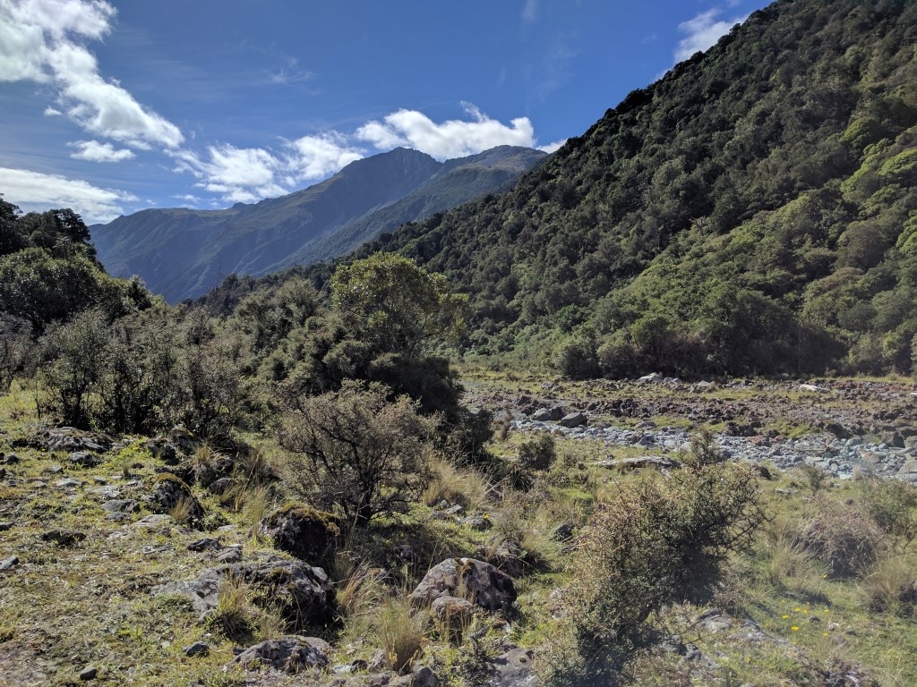
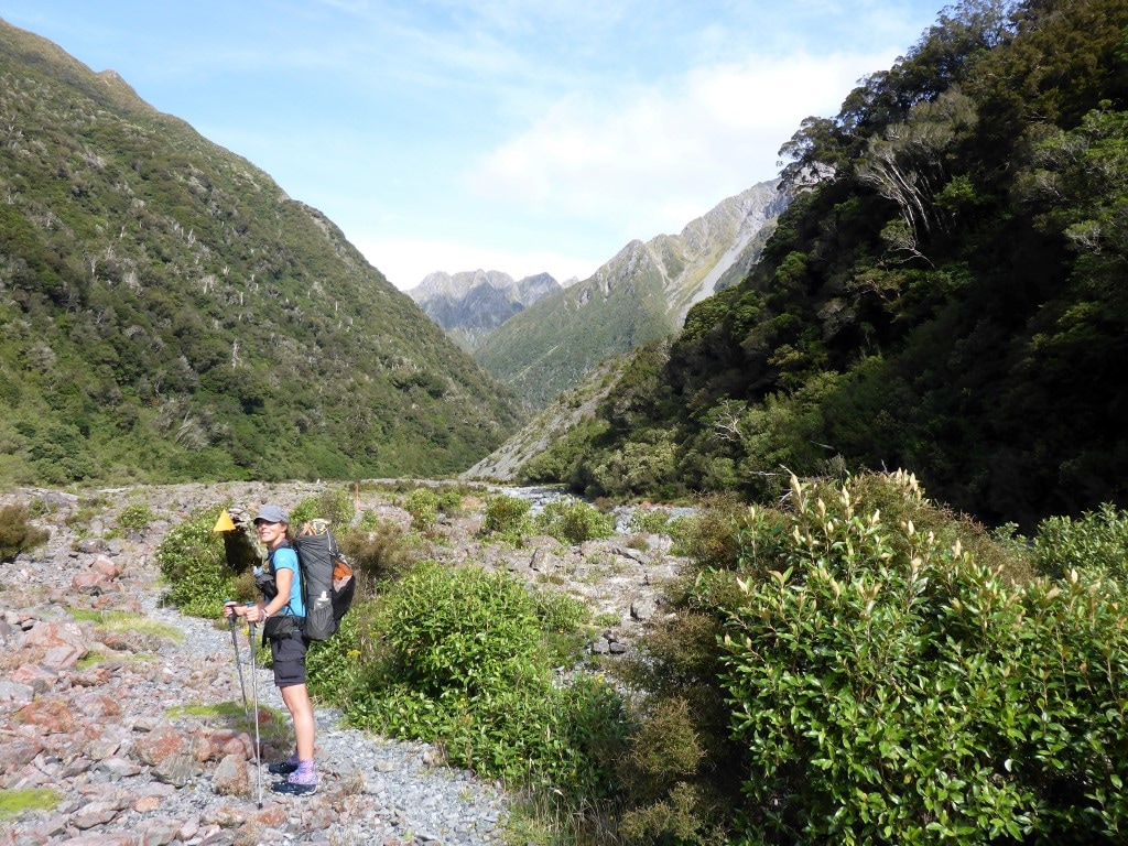
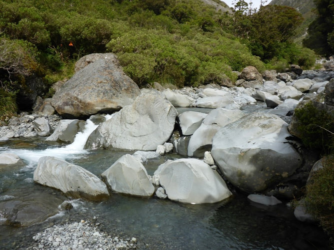
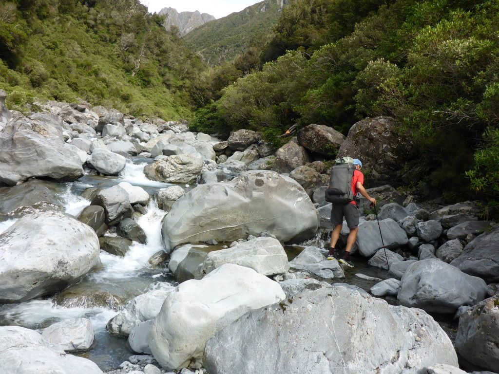
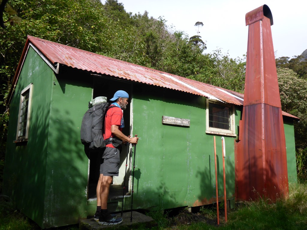
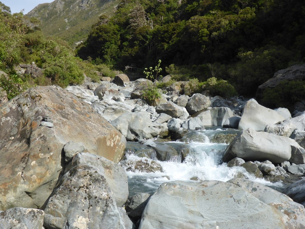
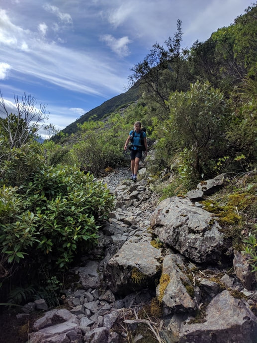
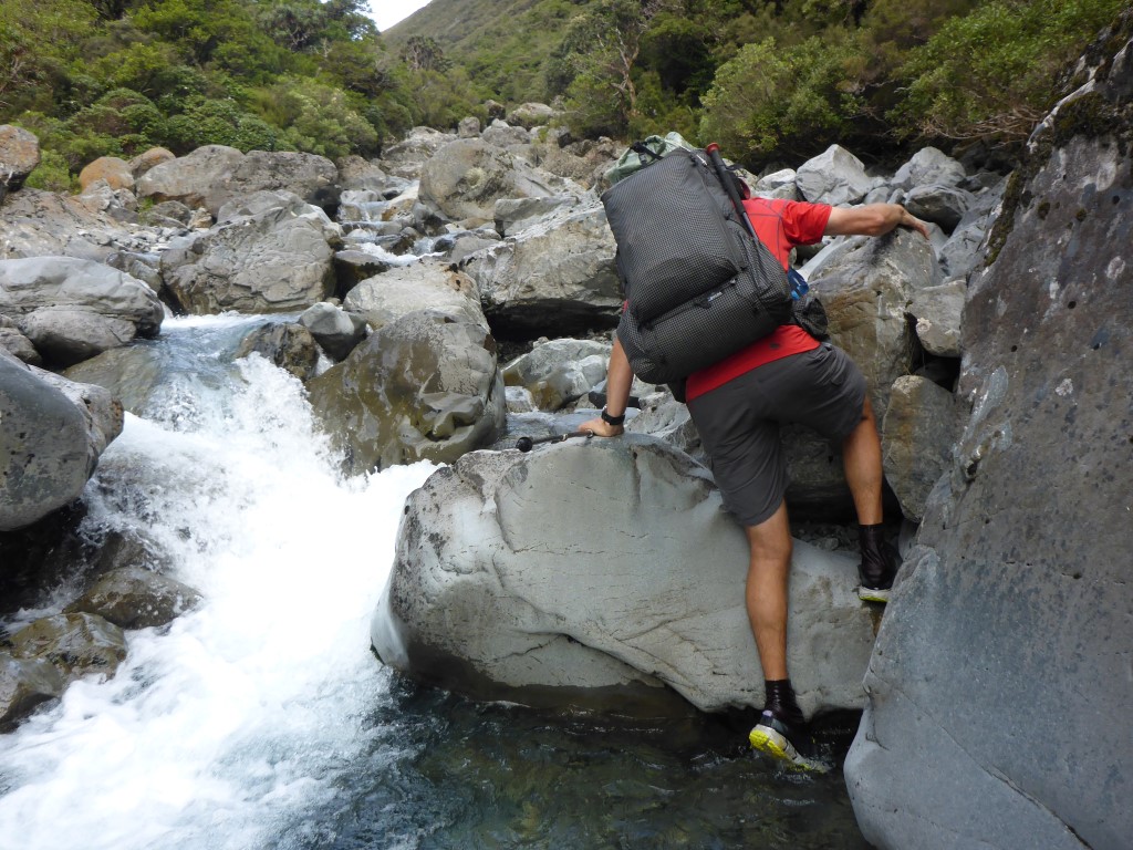
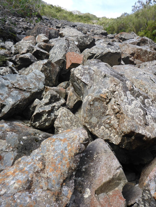
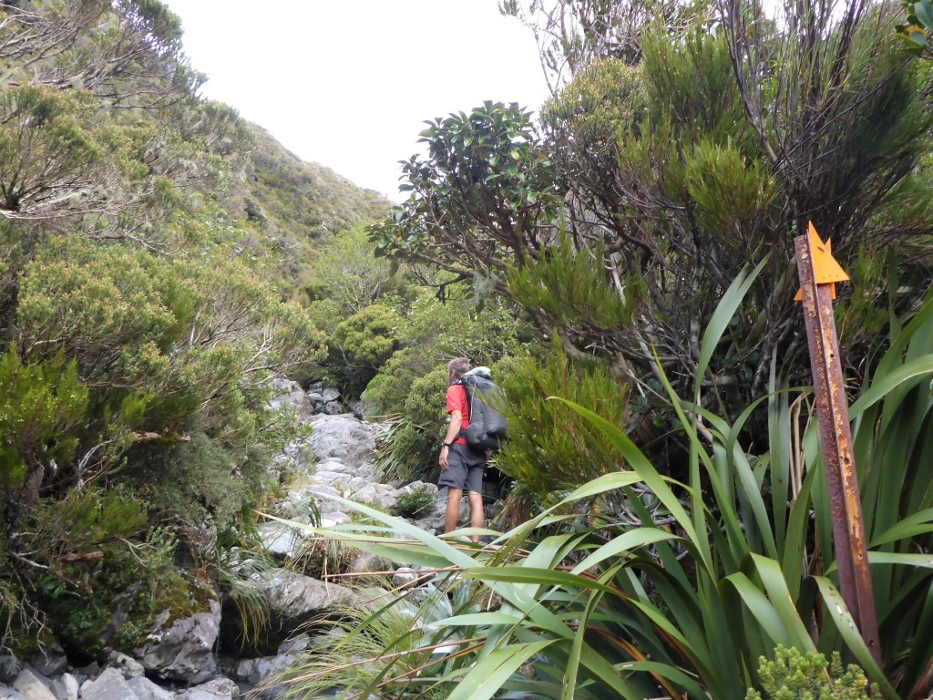
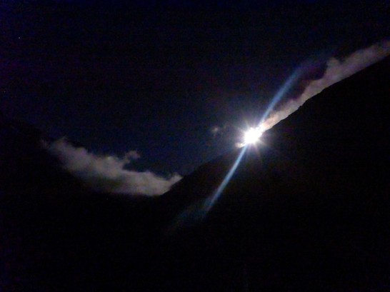
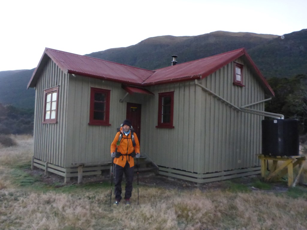
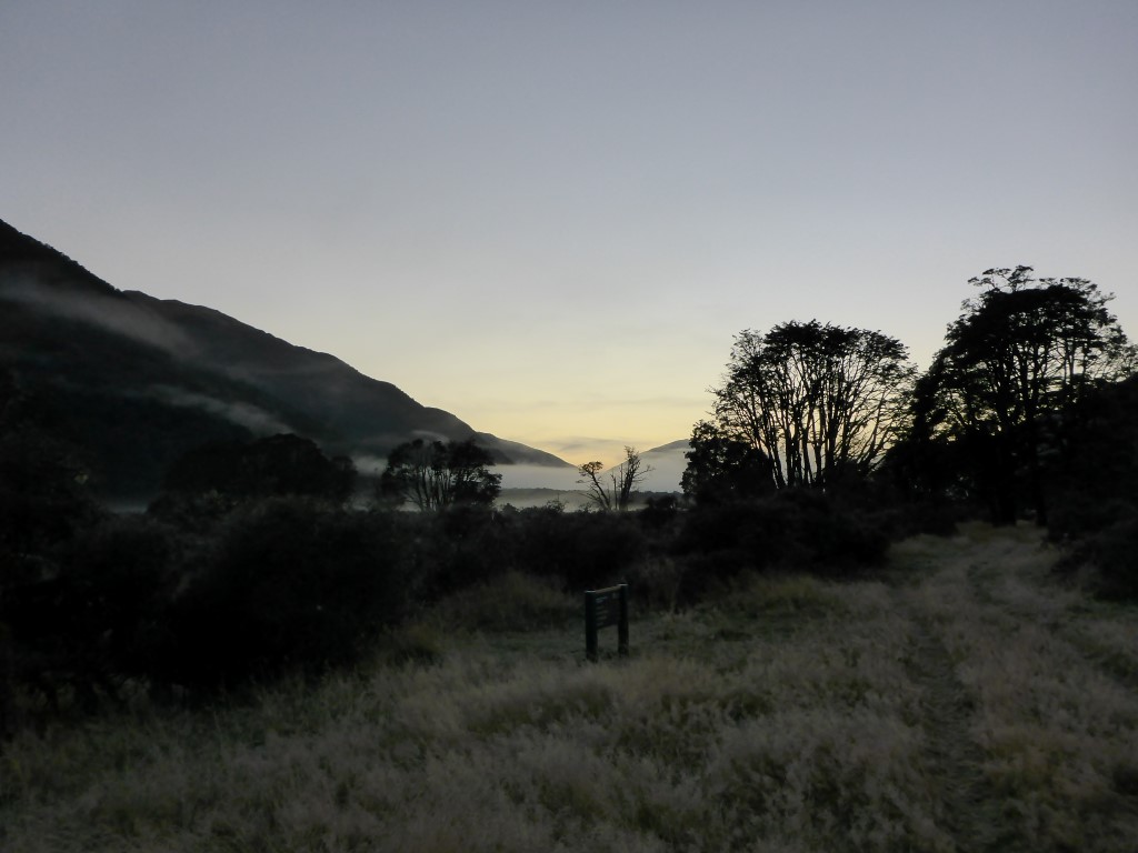
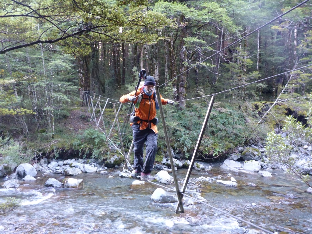
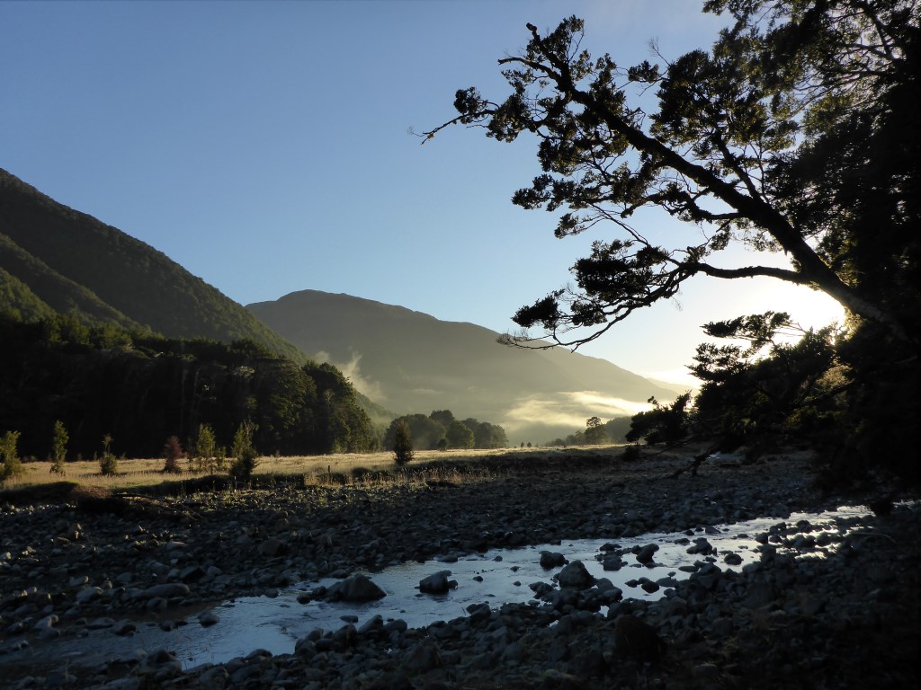
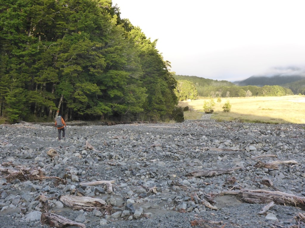
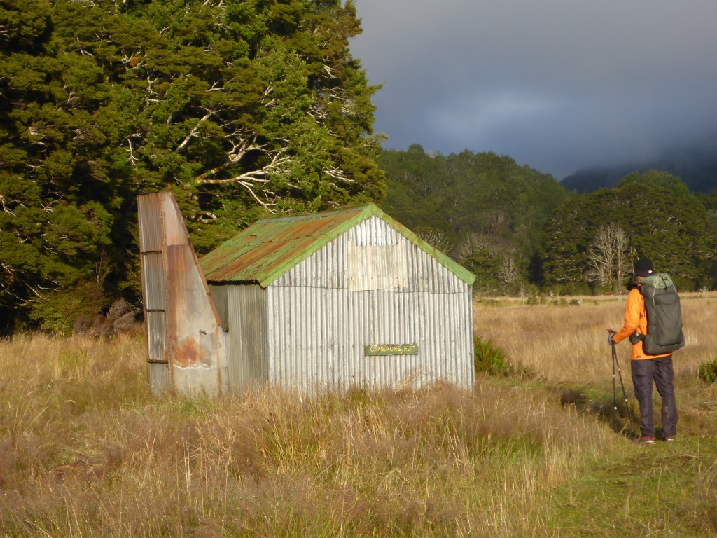
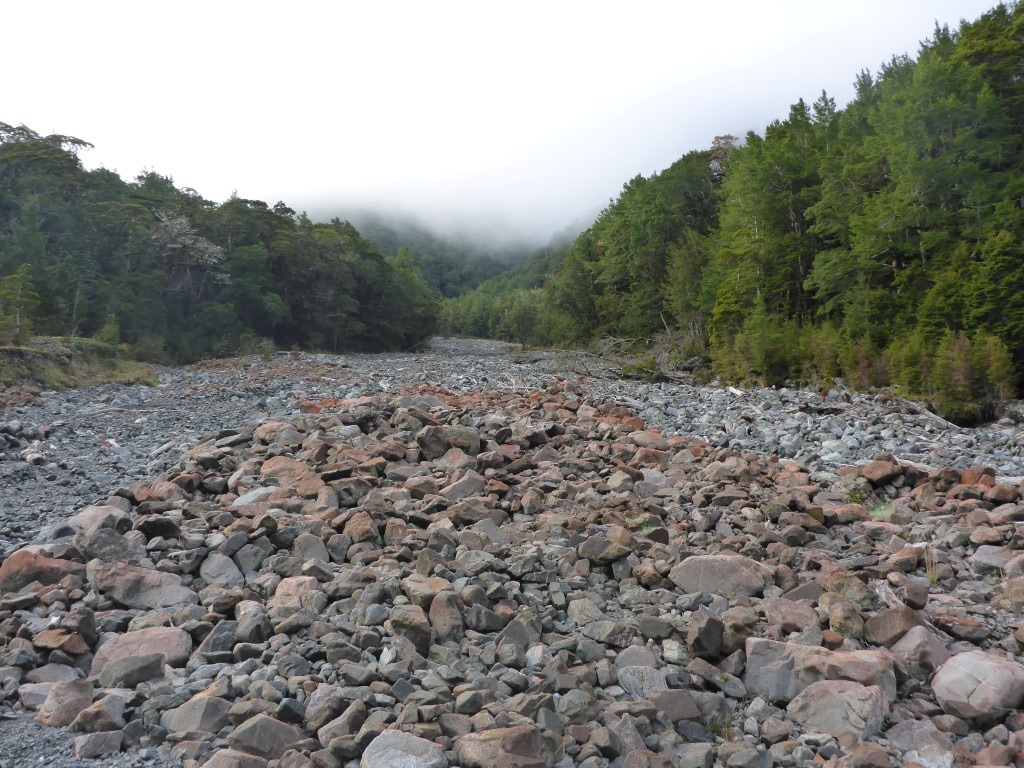
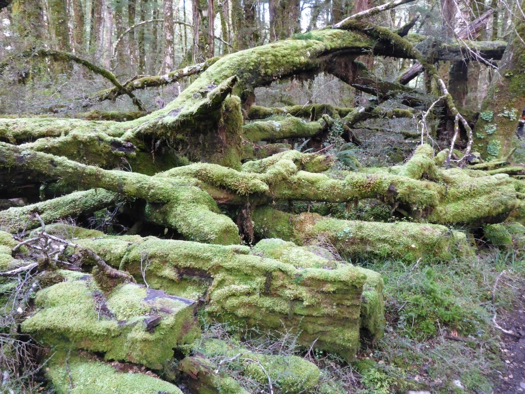
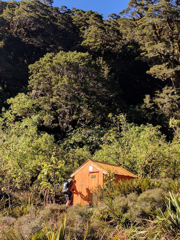
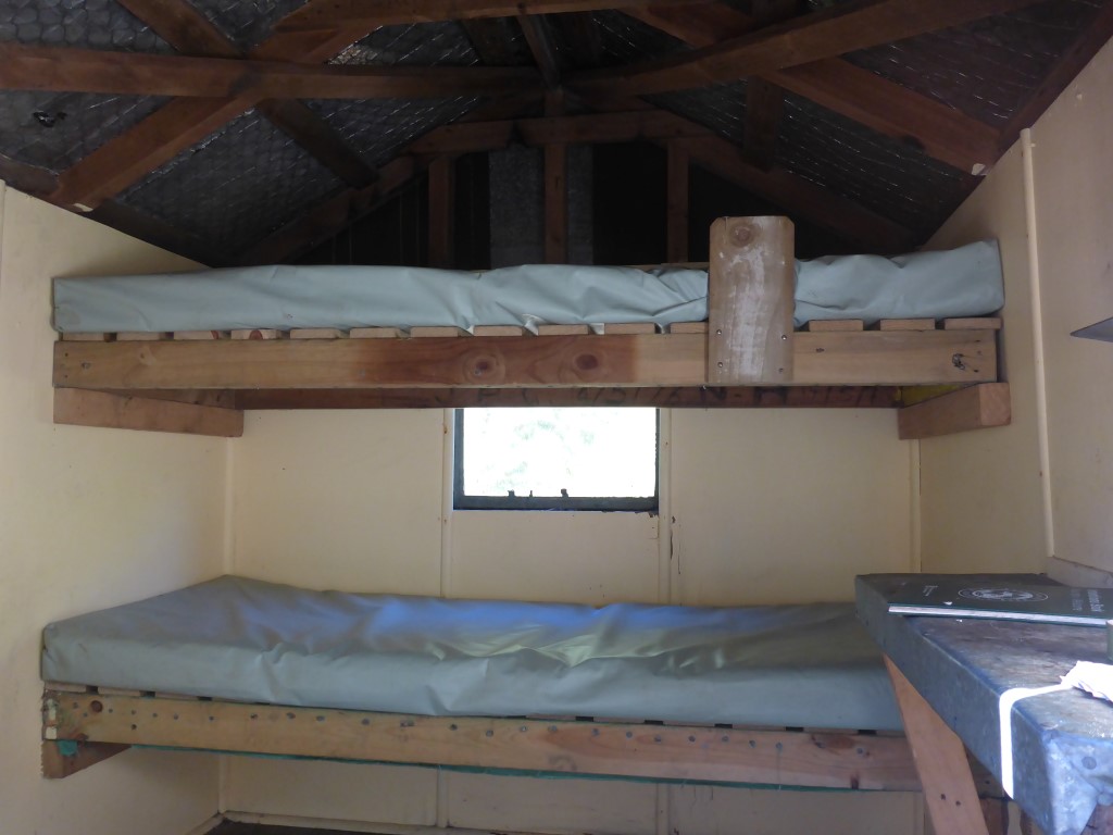
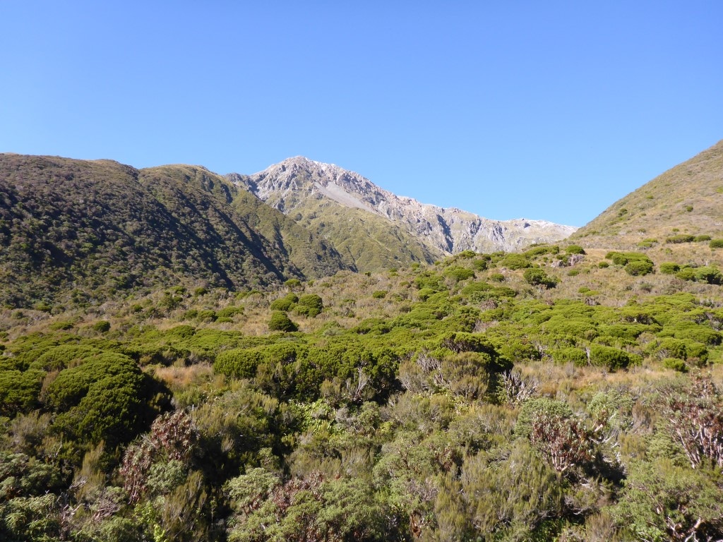
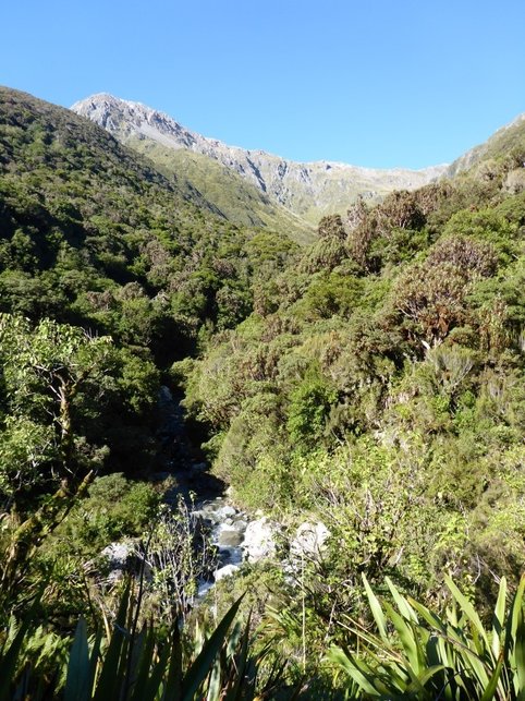
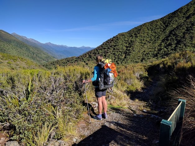
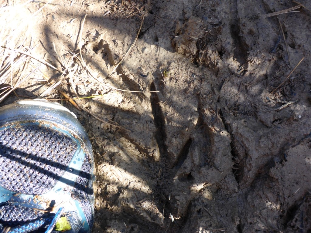
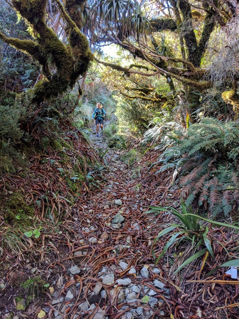
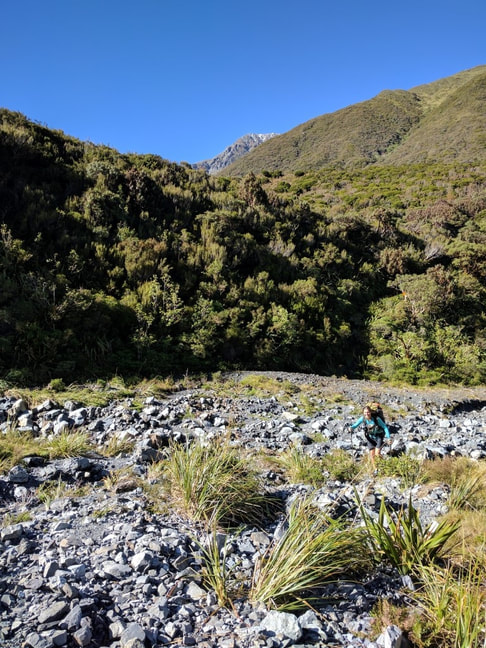
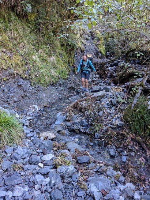
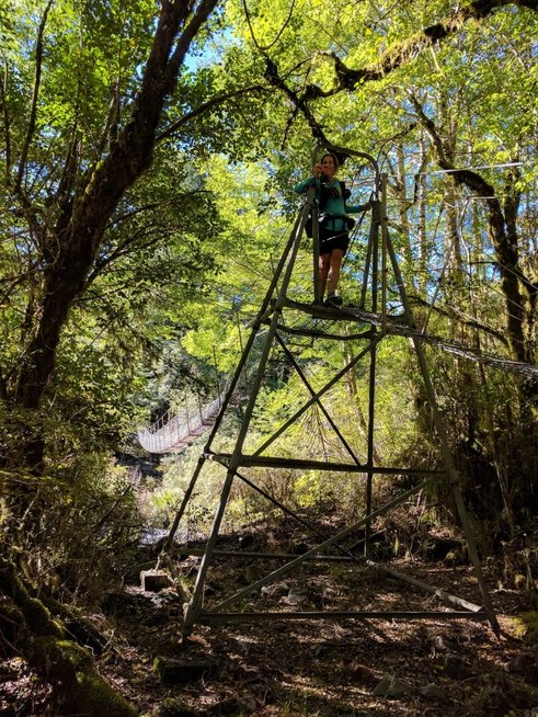
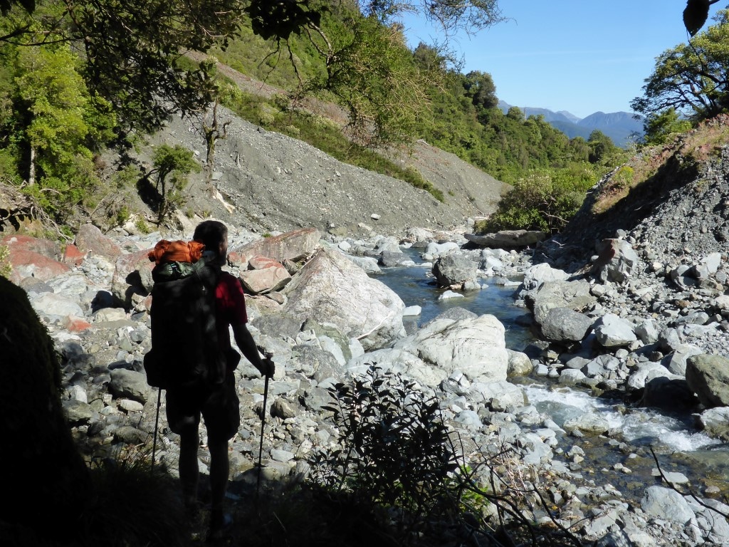
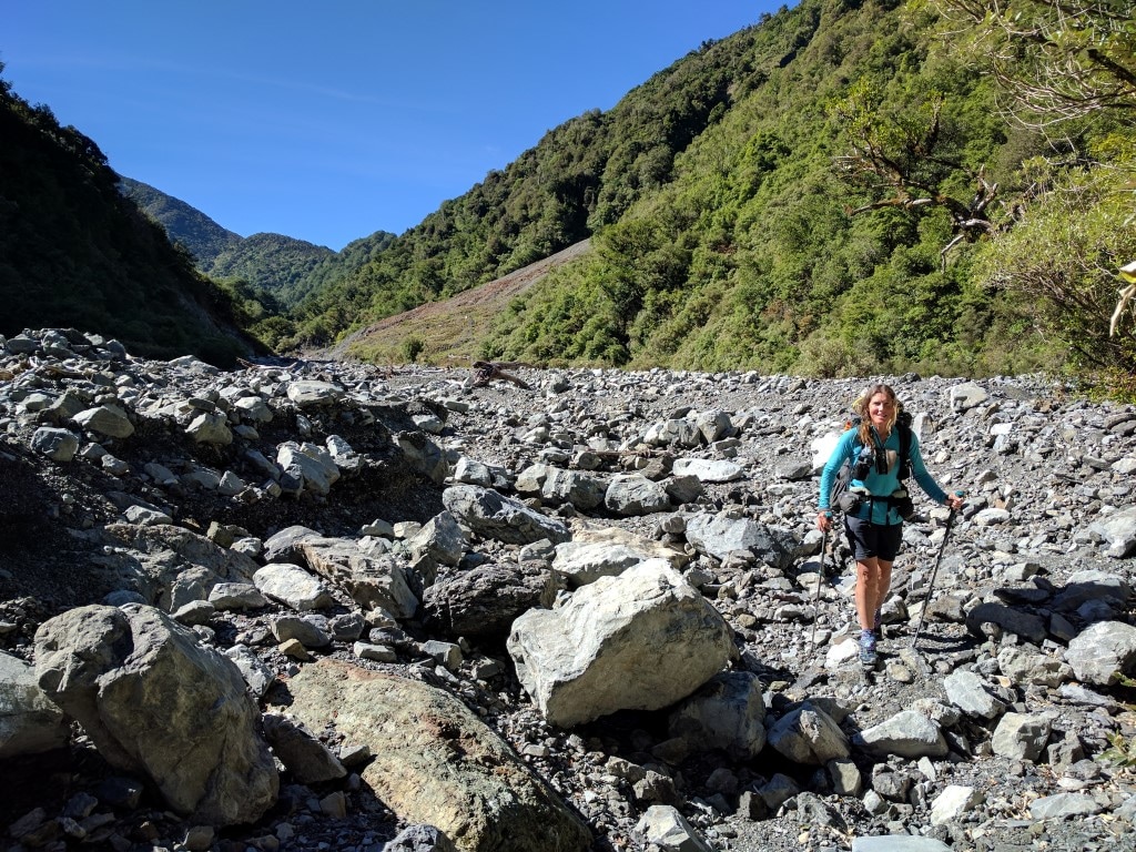
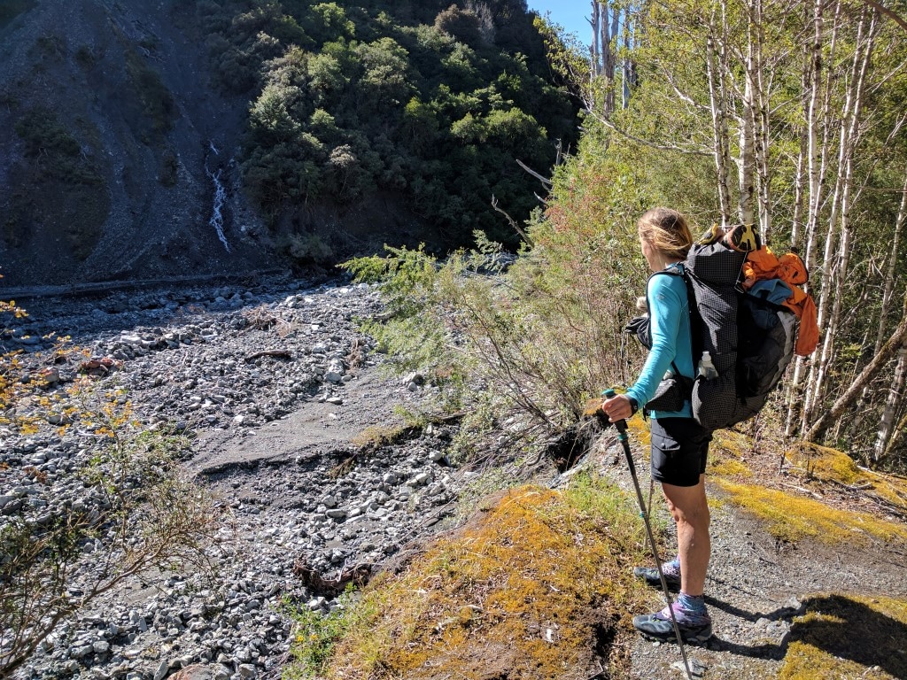
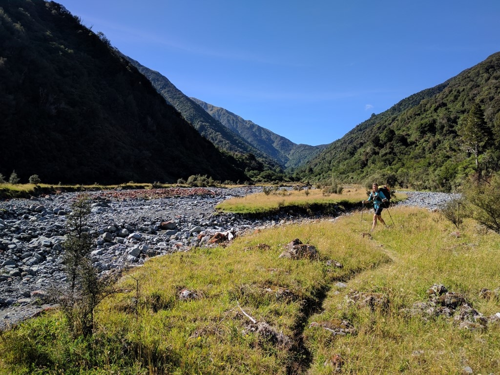
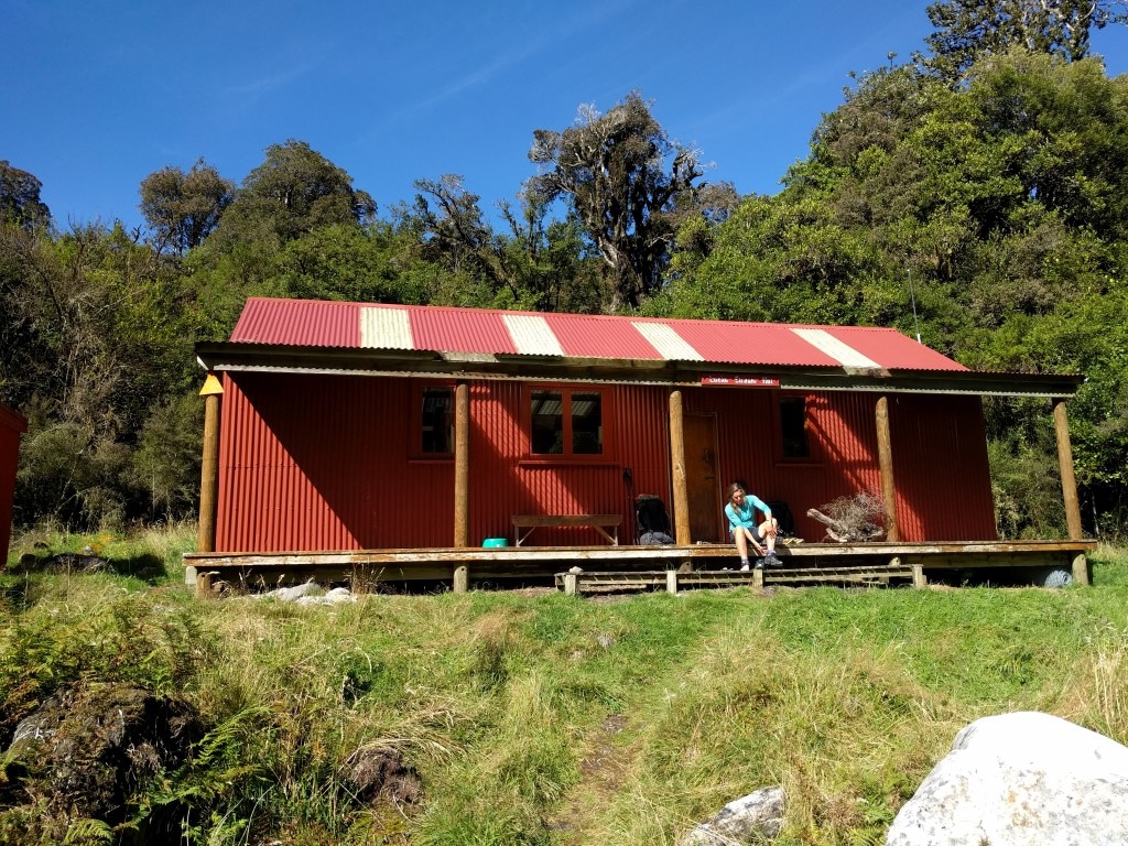
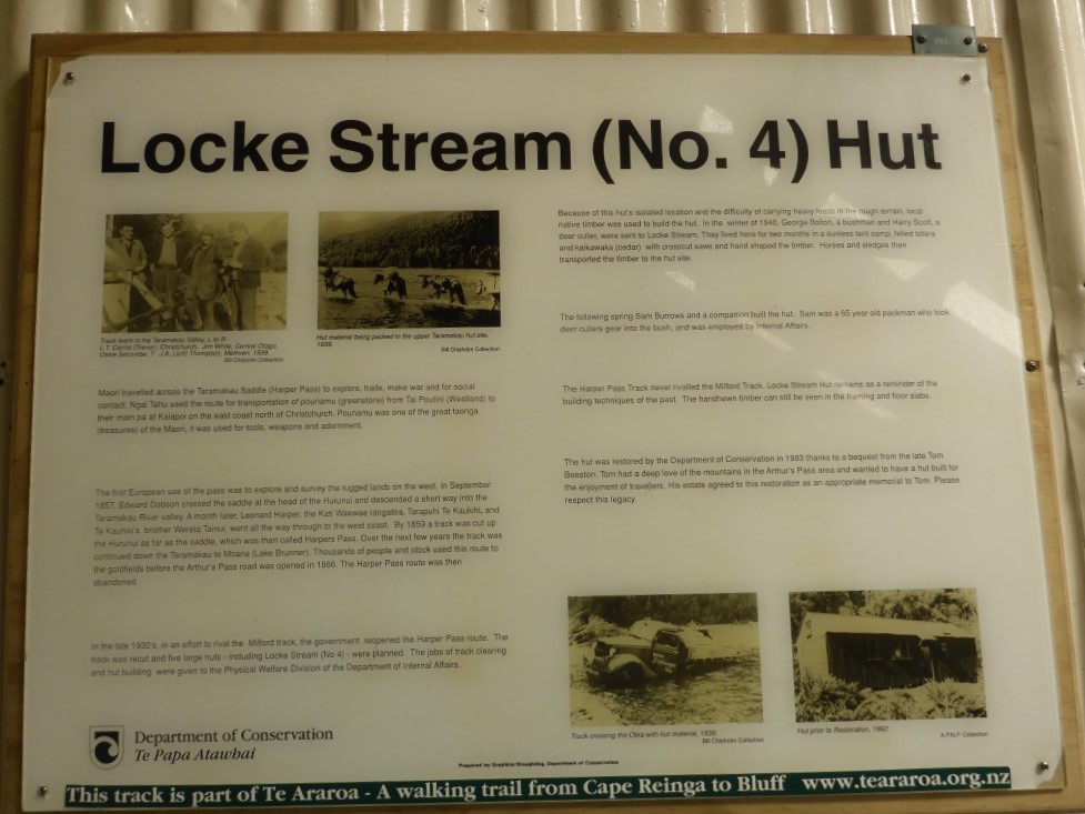
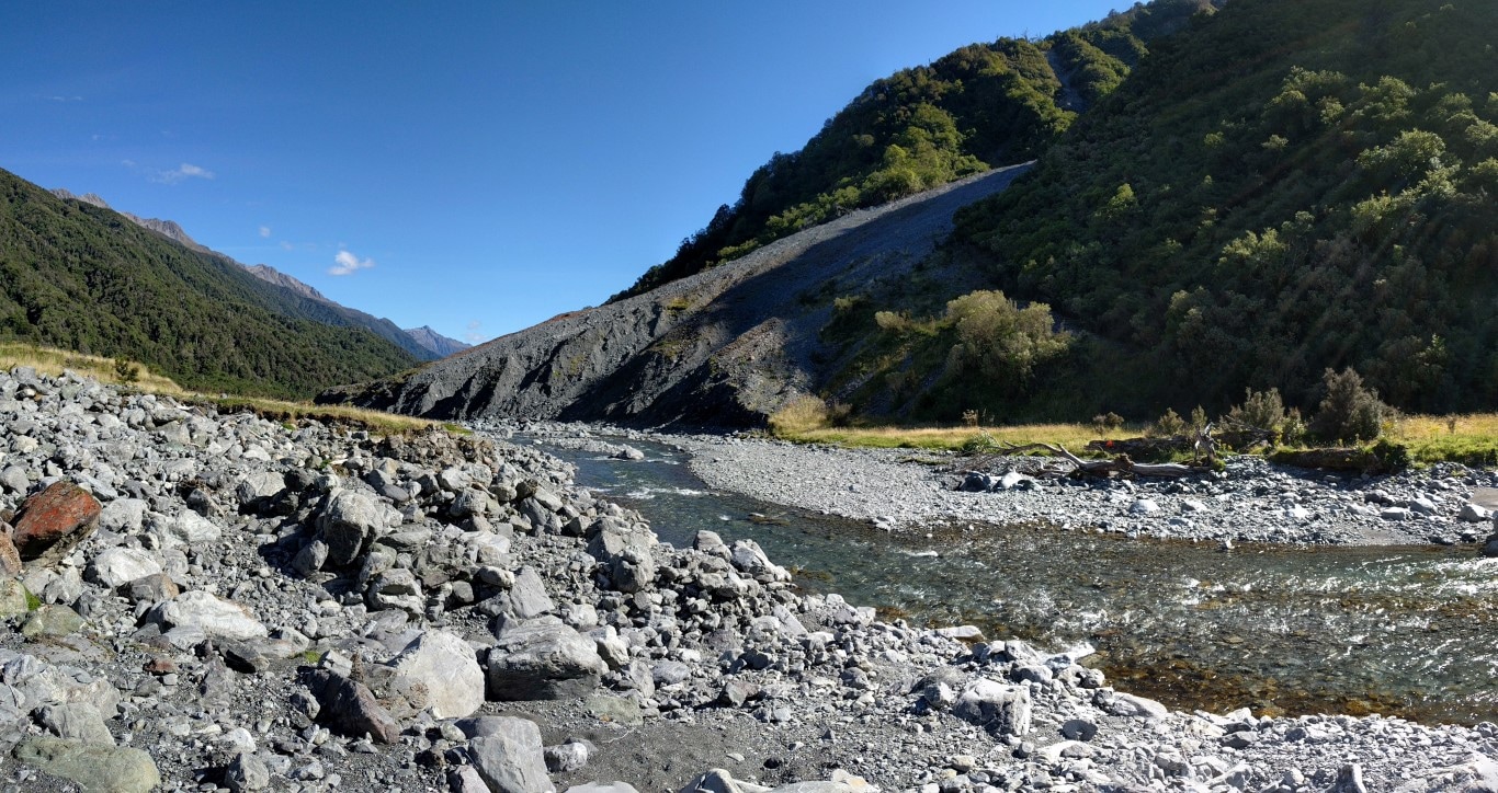
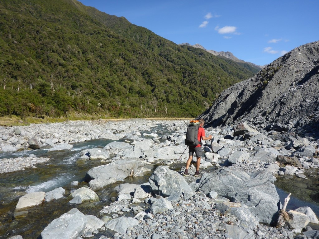
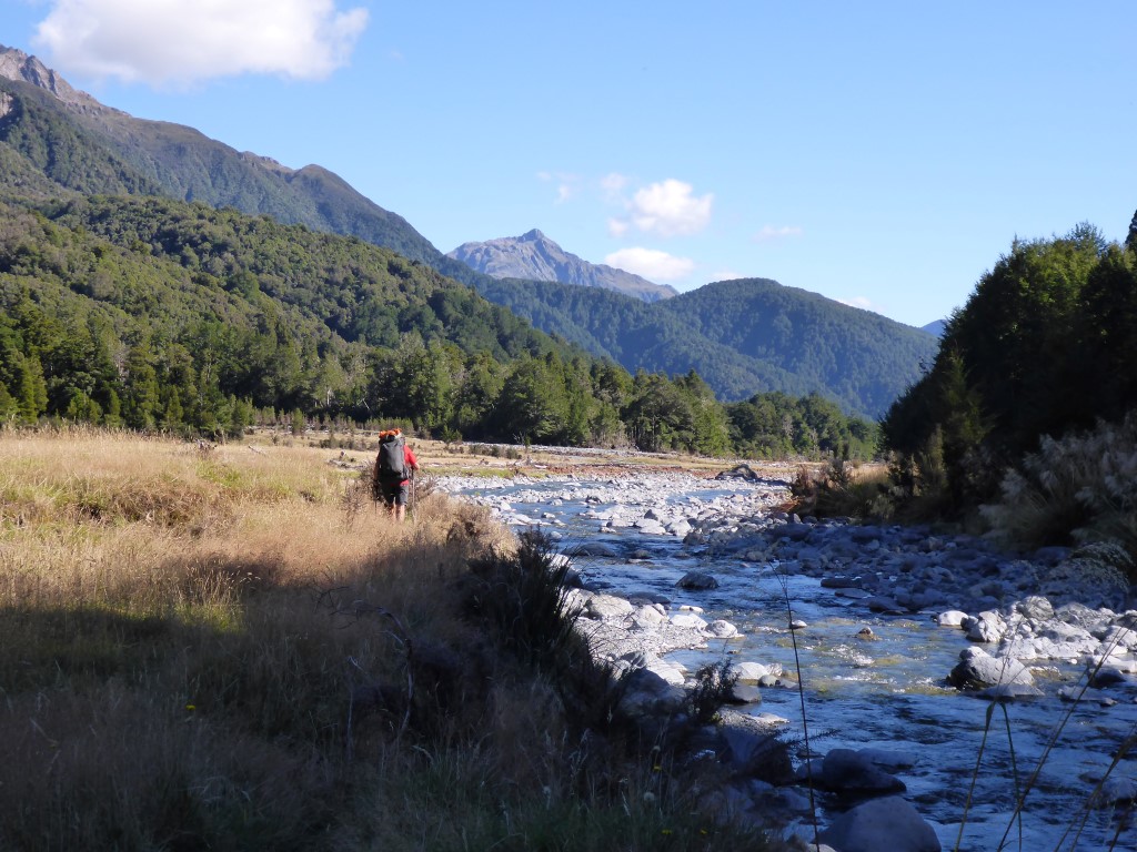
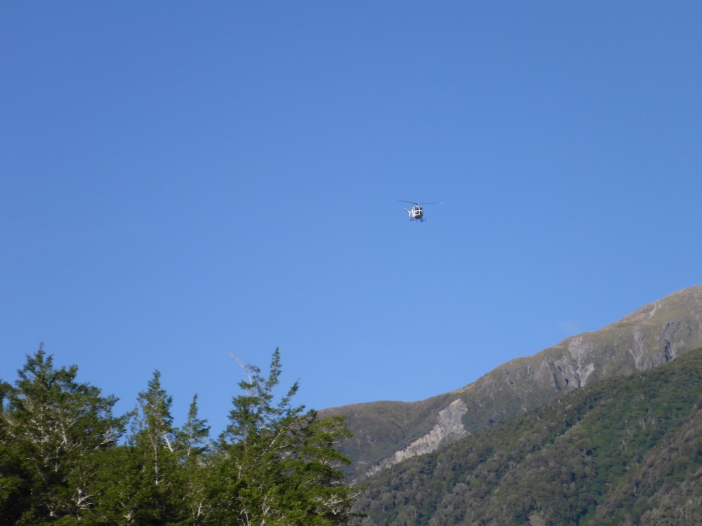
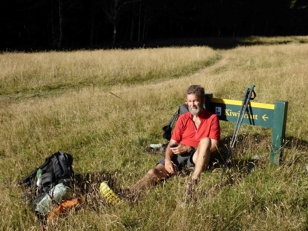
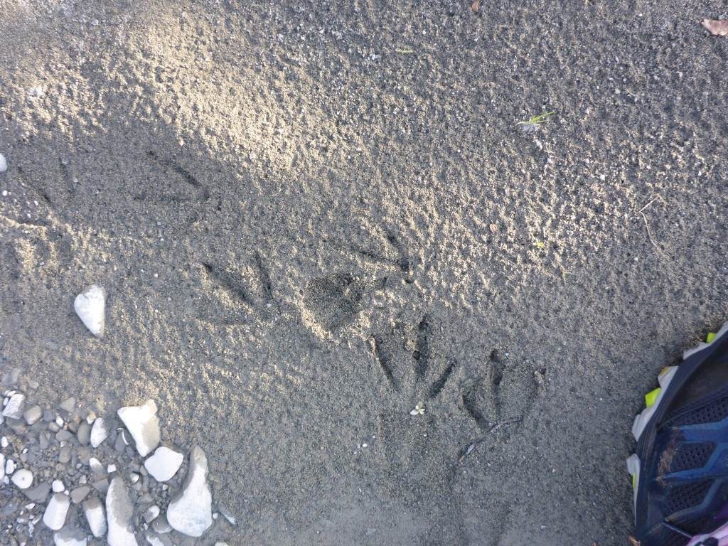
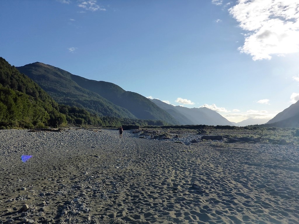
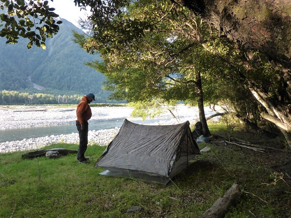
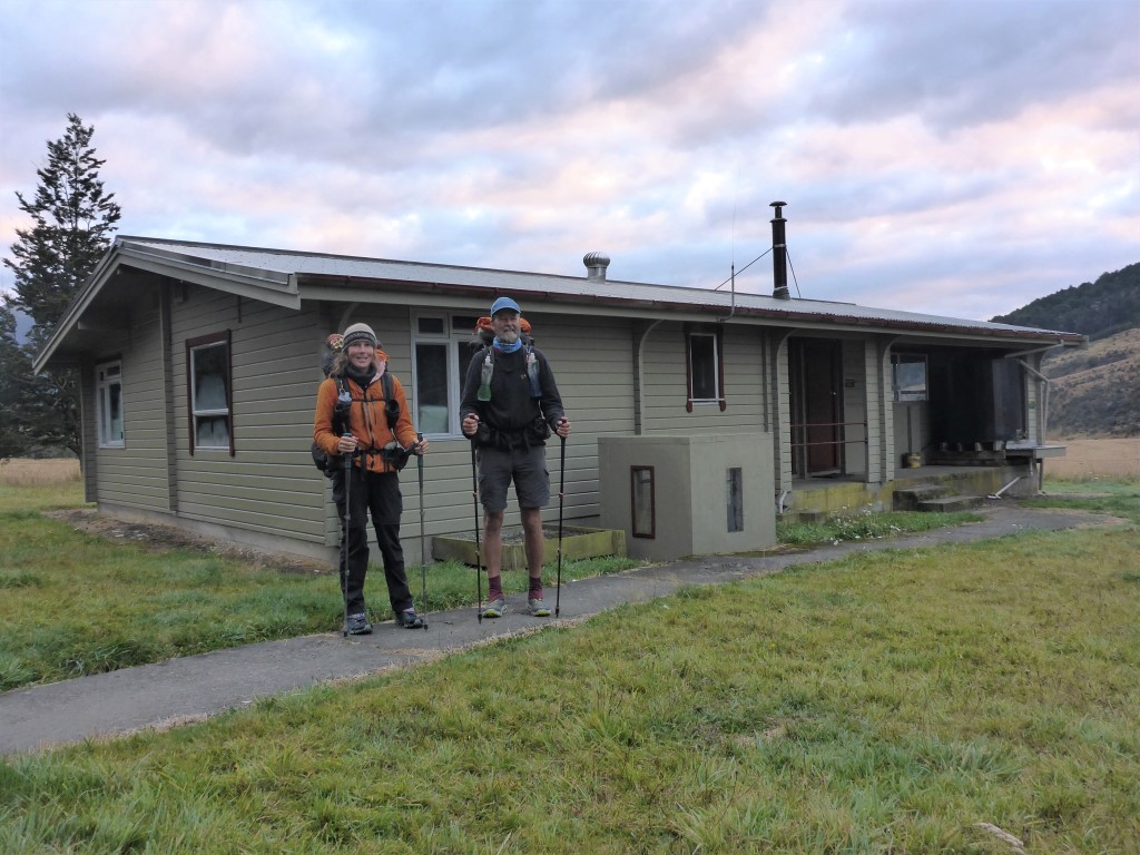
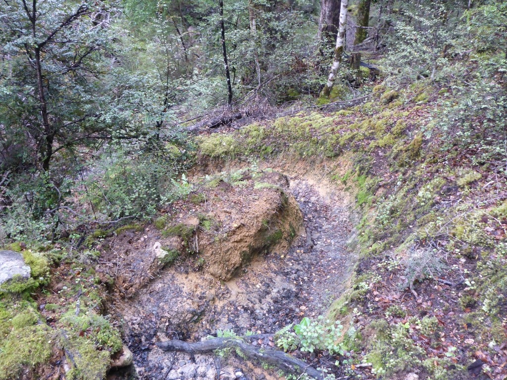
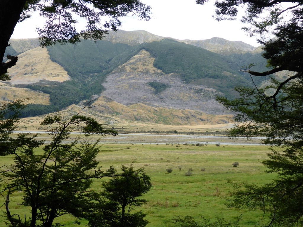
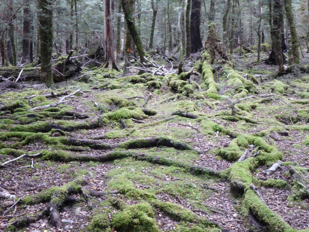
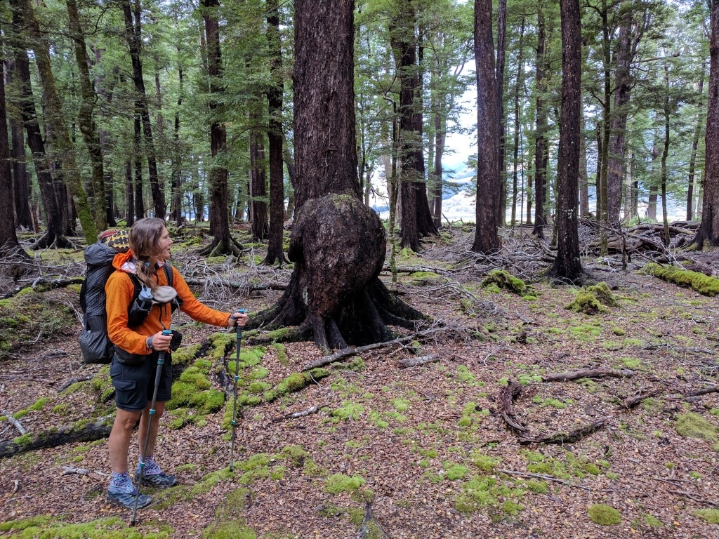
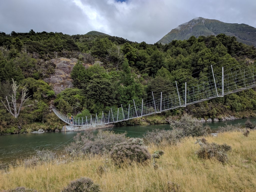
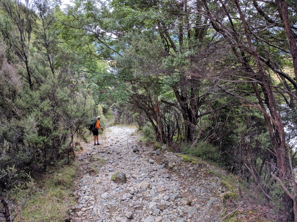
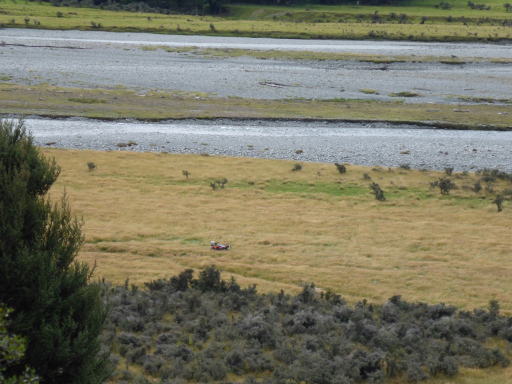
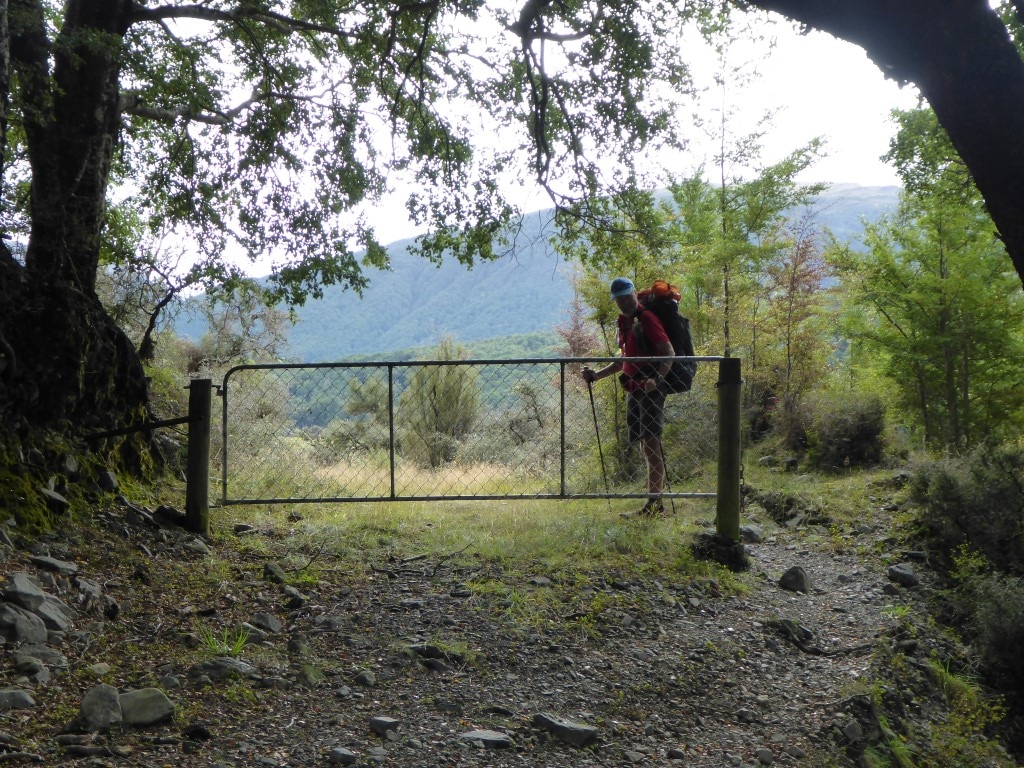
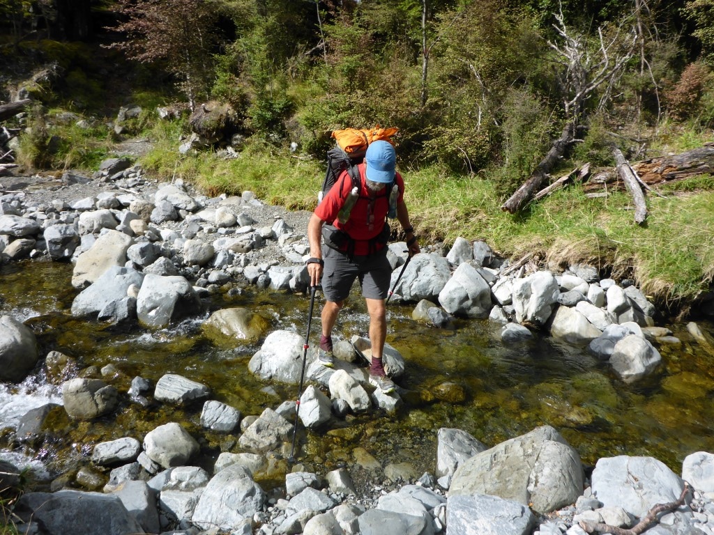
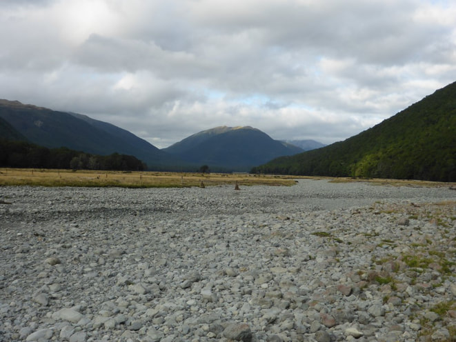
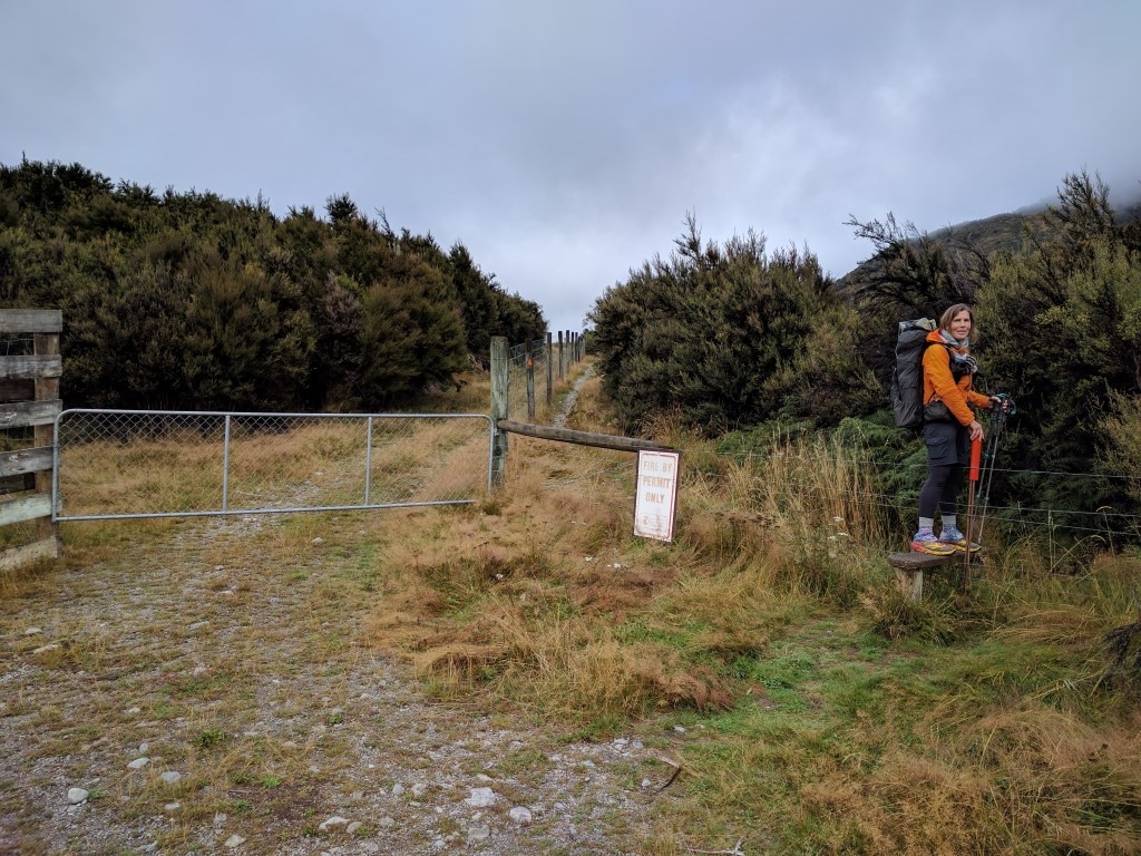
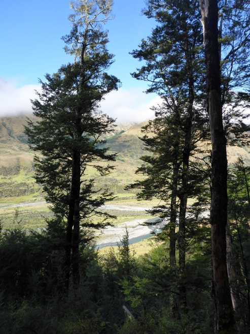
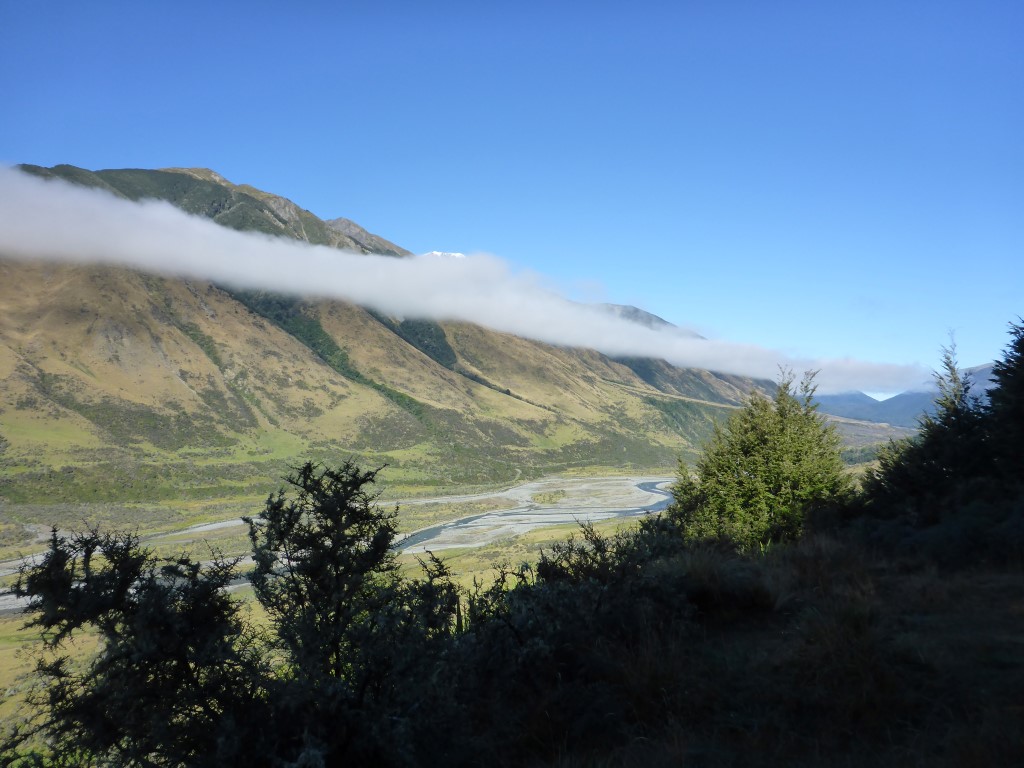
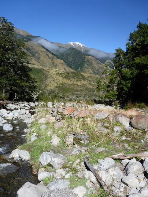
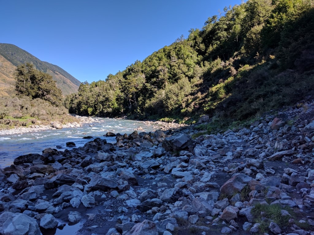
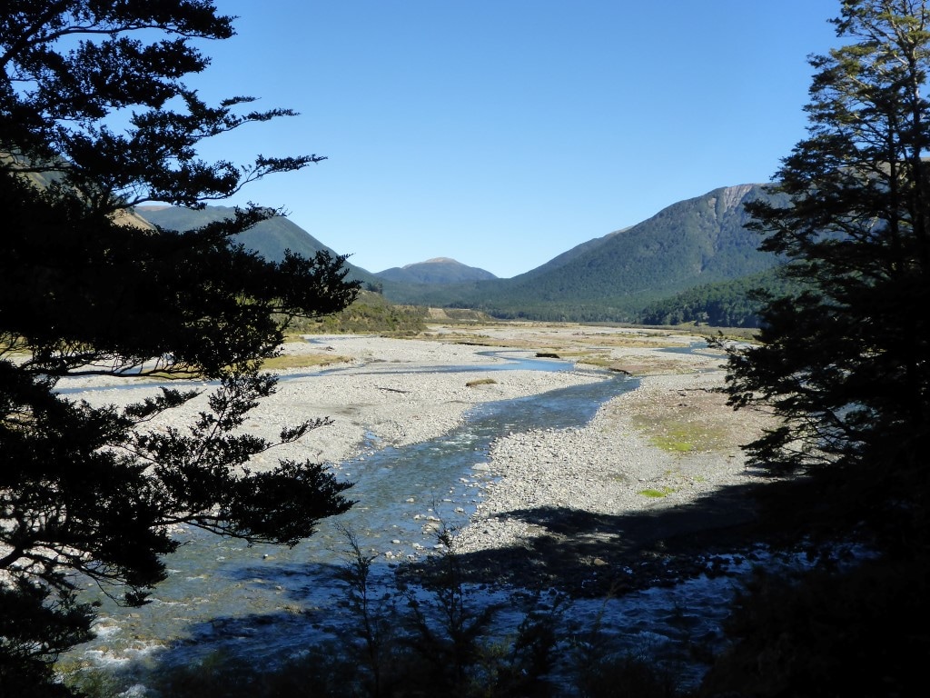
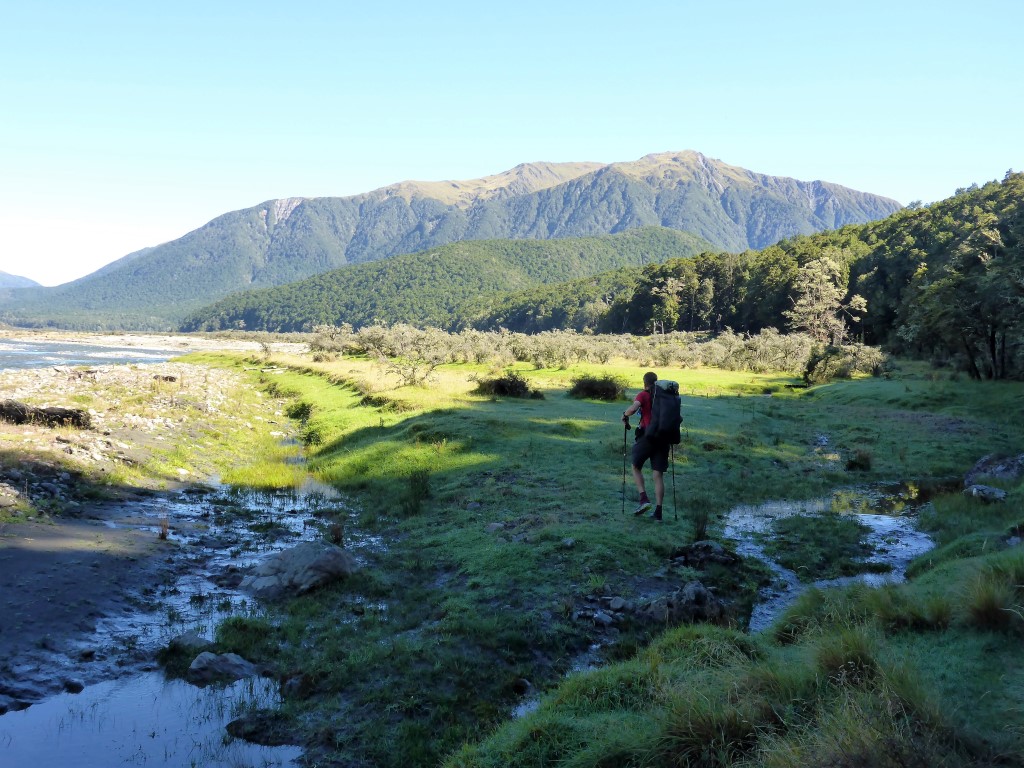
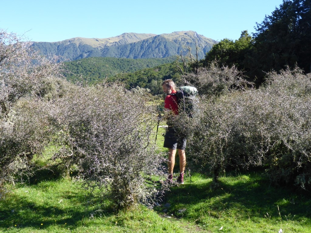
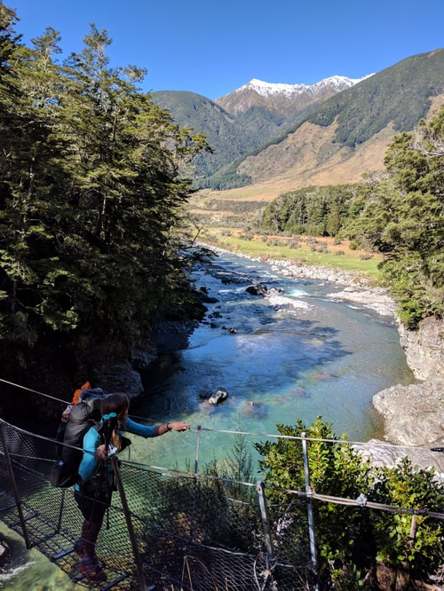
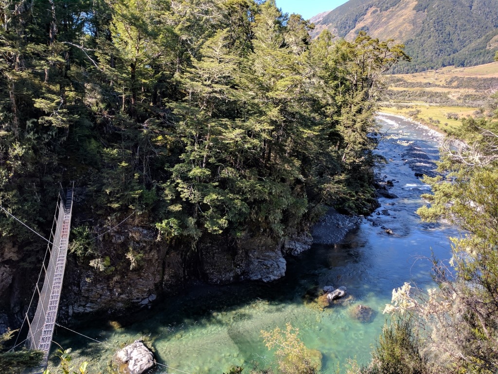
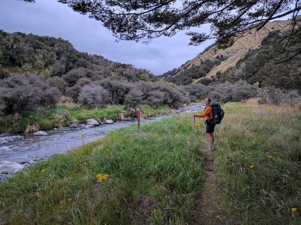
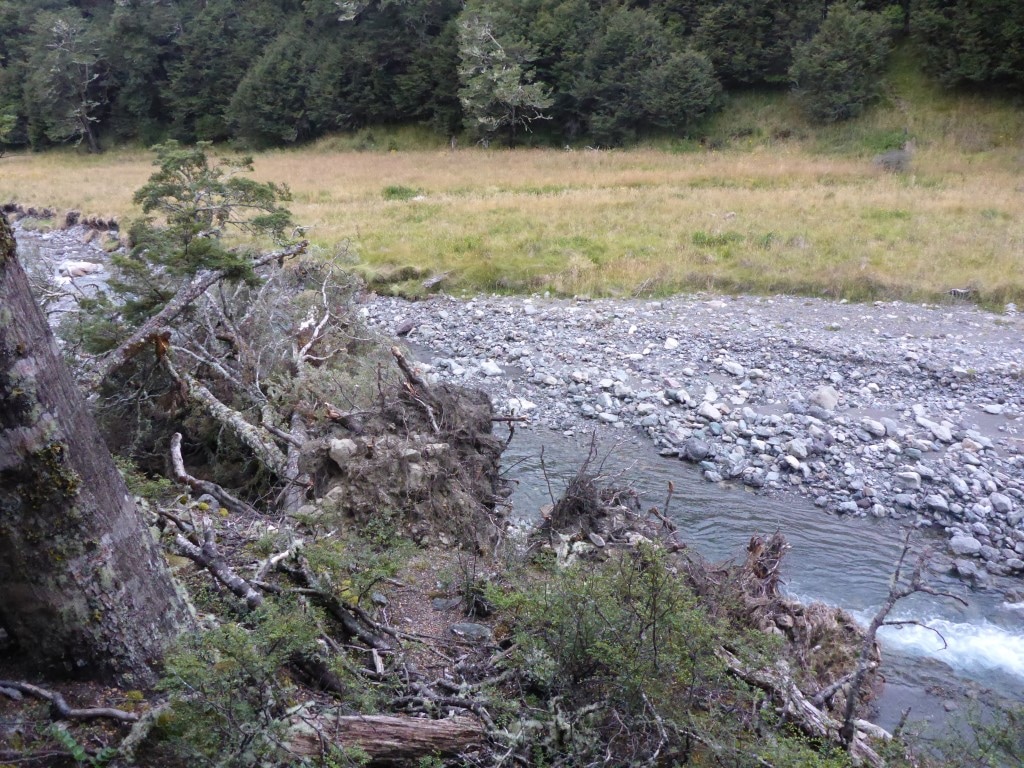
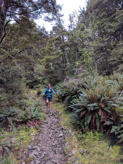
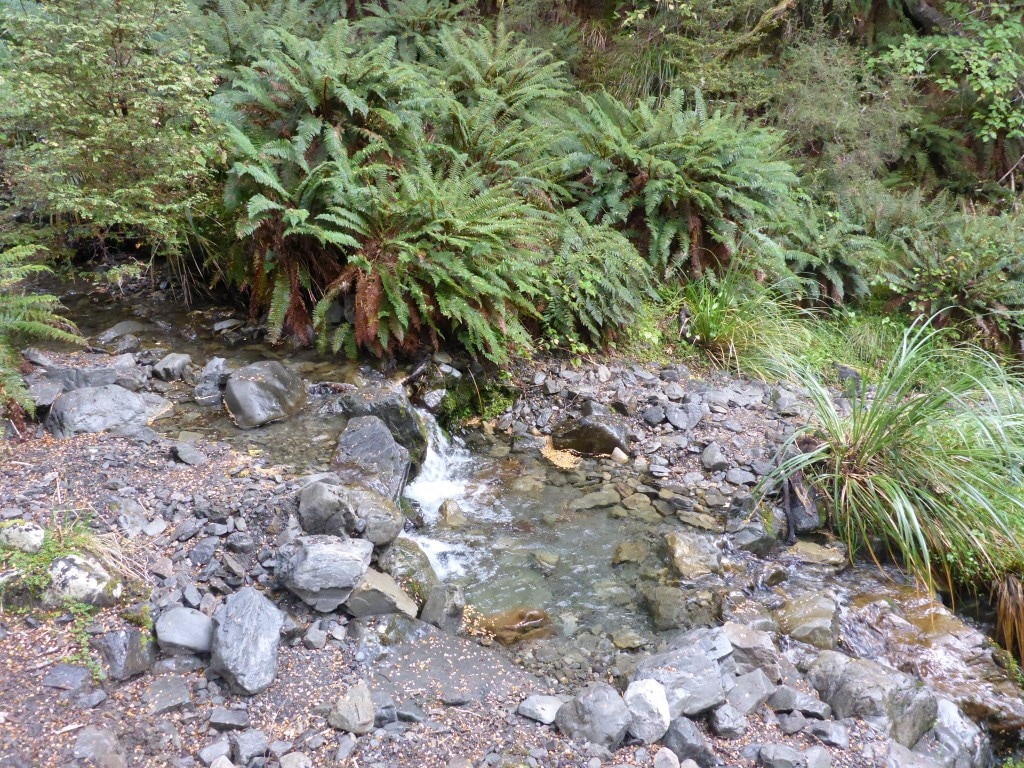
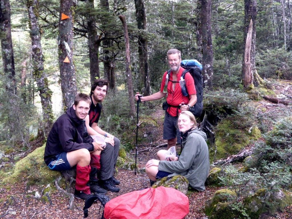
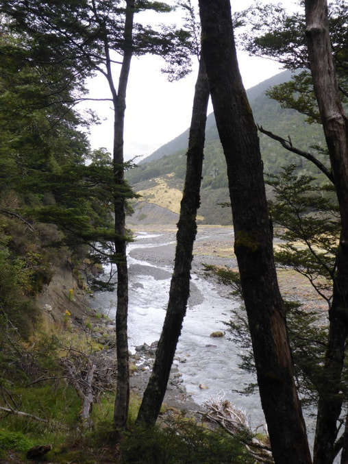
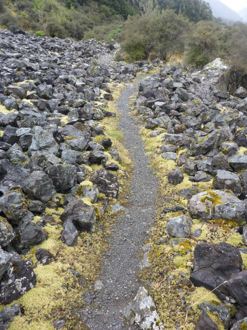
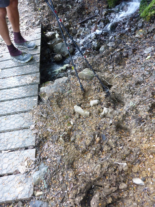
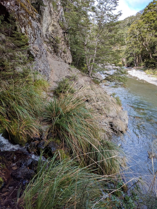
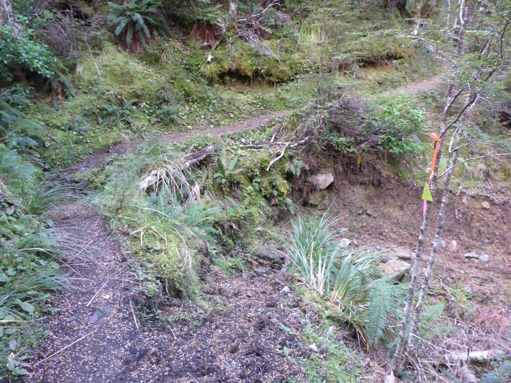
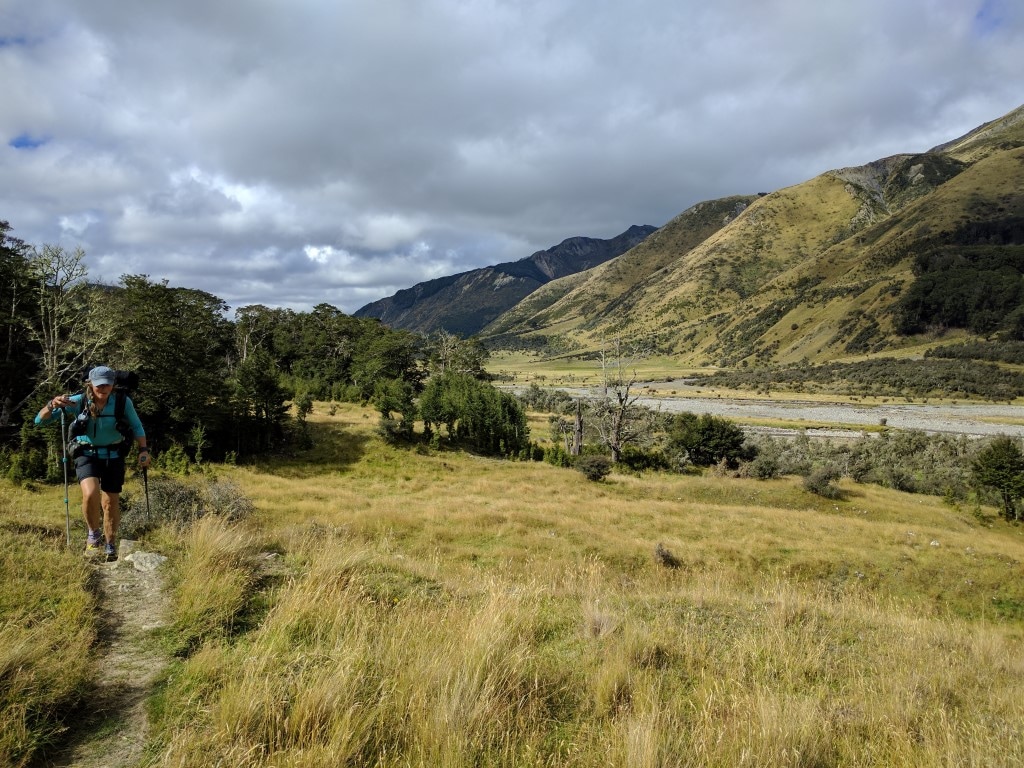
Left our campsite at 0640, to give ourselves plenty of time flexibility for the day, and arrived at Goat Pass Hut around 1615 after 24.1km. The trip from Morrison's footbridge to Goat Pass Hut only took us 6h15 walking time - although around 7h15 including our smoko and lunch stops. The DoC sign at Morrisons Footbridge allows 9 hours and TA allows 8-9 hours for the 18.5km - interestingly the Suunto puts it at 16km only. GPS for the day is here. After packing up we headed down what was mainly an old vehicle track on the rocks. This included a number of wet foot crossings before we hit the point at which the Flood Track (colloquially known as the Blood Track!!) heads up the Otira, after about 3.5km. We had already decided to cross the Otira to the Aickens carpark and head up the road about 3km to Morrison's footbridge rather than tackle the Flood Track (or an alternative walk up the river). The crossing of the Otira was fine (around three braids to cross separately a bit upstream of the confluence) and we arrived at the road/carpark about 0800, after 5km. We had a short break here and then it was off up SH73 to Morrisons. As we were exiting the carpark I noticed a Samsung phone lying in the gravel with a cracked screen (assumed it had been run over). Surprisingly it was still working, so I stuck it in my hip pouch to see if I could find the owner later. We crossed the substantial footbridge back over to the true right of the Otira and set off up the Deception River valley. It was 0900 at this point and we had covered almost 9km in 2h10. We walked on up the initially fairly gentle climb in a wide riverbed (photos tell the story) before stopping for lunch at 1200 as I was feeling like an energy boost! At this stage we had been going 3 hours in total, and covered almost 8 km, since the bridge, so happy enough with progress over what was not the fastest terrain. A lot of rock hopping in the wider riverbed and lots of wet foot crossings back and forth were involved in this phase, after an initial bit of bush walking. There were some further short patches of bush walking but really only where the river was difficult to navigate (usually steep sides and deeper pools of water) and they took you up and around the tough spot! Included in one of these diversions was a rope assisted 5m drop from bush back into the riverbed (photo provided!). Setting off after our lunch break, it wasn't all that long before we were into some of the larger boulder hopping that you often see in coverage of the Coast to Coast race! It also involved more river crossing and occasional walks up the river itself. The track goes directly past (Upper) Deception Hut so we stopped there briefly for a snack and to fill in the hut book. Then it was off for what turned out to be a 1h40 hike up to Goat Pass Hut (in this case DoC suggested 1 hour - they must be kidding!) - it’s only 2km, which indicates that it is tough going! We had a chat and decided, for the first time, to pack our poles away as the size of some of the boulders meant you were doing more climbing involving handholds than hiking! In fact, after some of the more serious boulders were behind us we reverted to one pole each as a compromise! The track became even more serious boulder hopping as the Deception River narrowed and rose. We meet a young kiwi lass who was hiking this section of TA with her dad. Later we meet an older kiwi from Chch who had come for a day walk, from Morrison's footbridge up to Upper Deception Hut and back again. For the last stretch of 500m or so, we left the Deception River and headed up another stream. We misplaced the track a little here - after climbing a steep little face it wasn’t clear which way to go (about km 23.64 on the Suunto track) and we headed a little left and downhill, coming to a narrow and somewhat overgrown creek (about km23.68). However, a check of the GPS suggested we could head up the creek and we should be right! Sure enough, after 40m of clambering up a narrow stream with low overhanging vegetation, involving lots of ducking and a few swear words from me, we came across evidence of the "track" (about km23.71). I say track, but that is overstating it really - this last bit involved more rock hopping up the actual narrow creek, so not very fast at all. The TA notes say “There is a final steep climb over rough terrain to get up to the Goat Pass Hut” - that about describes it! We finally saw the aerial on the top of the hut (DoC has a radio installed in this hut), although it seemed to take a while for the hut itself to appear! We were a bit weary and working hard by now, so neither of us was much into taking photos on this last bit - so the pictorial record is scanty!! Belinda had got pretty cold in the latter part of the day after all the water work and so got changed into warm clothes and hopped into her sleeping bag for a while to get her core temperature back up (no fire in this hut - wood would have to be flown in as it is only light scrub around here). I had done something to my ankle earlier in the day which meant I was a little sore (the right knee was aching a bit as well!) and Belinda's knees were also feeling it a bit - there has been a lot of uneven ground (rock/boulder) walking over the last few days and it may be starting to take its toll. Soon after we got here, 3 others arrived: Mikey from the Netherlands was here briefly before setting off for Upper Deception Hut; Nicholas from France is TA nobo; and Jakob from Germany is on a two day hike from Arthur's Pass to Morrison's footbridge and then hitching back to Arthur's Pass. Then at about 1800 Jeremey and Constance from Sydney arrived. They are hiking and packrafting a traverse of the south island - very interesting young couple! So six of us in the 20-bunk hut tonight - we gather the weather isn't too bad tomorrow so we will be in no rush to leave as we are only going to the Bealey Hotel on SH73 which we expect might be a 5 hour walk or similar :-) It was pretty cold this evening although there was a lovely moonrise over the hills to the east. I got up at 0515 for a toilet stop and was greeted by frost and ice on toilet door handle - definitely chillier than yesterday!!. We eventually got away just before 0700, soon after Dave headed back to Hurunui Hut. Ended up doing almost 31km, setting up the tent at about 1720 alongside the Taramakau about 3.5km before the Otira confluence. A 10½ hour plus day with around 9 hours of walking. The days GPS track is here. It was mostly bush margin up the Hurunui but also included a little river flat. After about 2km we crossed Cameron Stream on a 3-wire “bridge” - thought we would try it rather than fording the stream as it meant our feet stayed dry (and it was a new experience for us)! Passed Cameron Hut on the flats soon after and headed up through forest to Harper bivvy. The route to Harper Pass started fairly gently but was followed by a couple of river crossings and a 20min steeper pinch up to the pass itself. Reached the pass at 1040 after 3h15 walking (3h40 in total). Belinda very soon found some kiwi tracks in the mud, as the notes suggest! The drop down (300m or so vertical) after Harper Pass to the swingbridge was mostly quite steep and rocky / rubbly underfoot - taking about one hour. We crossed the river early onto the true right - there were a couple of places where the Taramakau River had scoured out the original track quite badly and a bit of dexterity was required! About 2.5km after the pass, we crossed another swingbridge and headed down the true left of the river toward Locke Stream Hut. Initially much of this was in the bush although a couple of spots of river boulder walking had to be negotiated where the big flood earlier in the year had destroyed parts of the track alongside the river. There was a little bit of river flat walking involved but not large amounts. Surprisingly we powered down and reached the hut, from the swingbridge, in 45 mins even though the notes suggest 1.5 hours. Arrived about 1240 after 16.2km and stopped for a 30 min lunch in the sun before heading for Kiwi Hut. Another 2h10 of walking down the river valley, with a few crossings back and forth over bits of the river, saw us at the turnoff to Kiwi Hut at about 1520 after 24.5km. As we wanted to get to Goat Pass Hut tomorrow night, we decided not to stop at Kiwi (our original thought) but to carry on down the river for a bit longer and camp, to reduce the length of tomorrow's effort. One thing we did notice today is a significant number of helicopter trips up and down the valley - ferrying hunters and/or supplies in and out. There has been a lot of activity due to the fine weather after a period of bad weather due to cyclone Debbie's aftermath. We soon came to the confluence of the Taramakau and Otehake - both of which can be a challenge if river levels are up. However, flows were no problem and we crossed below the confluence with no issues - about where the GPS track said - interestingly there are no markers on either side that we could see to identify the crossing so it was guesswork. We just knew we needed to be on the true left so needed to cross! We ended up doing another 6.5km from Kiwi Hut, mainly down a bouldery wide riverbed, before B spied a perfect campsite just up in the forest margin. They (good camp spots) had been few and far between (titanium pegs and gravel/rocks don’t work well together), so it was great to see such a perfect spot to stop!
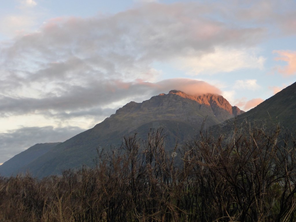
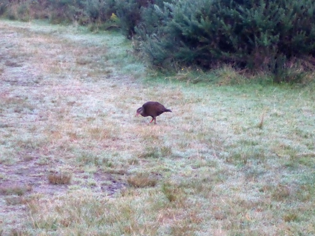
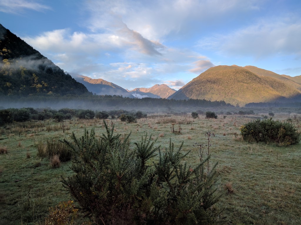
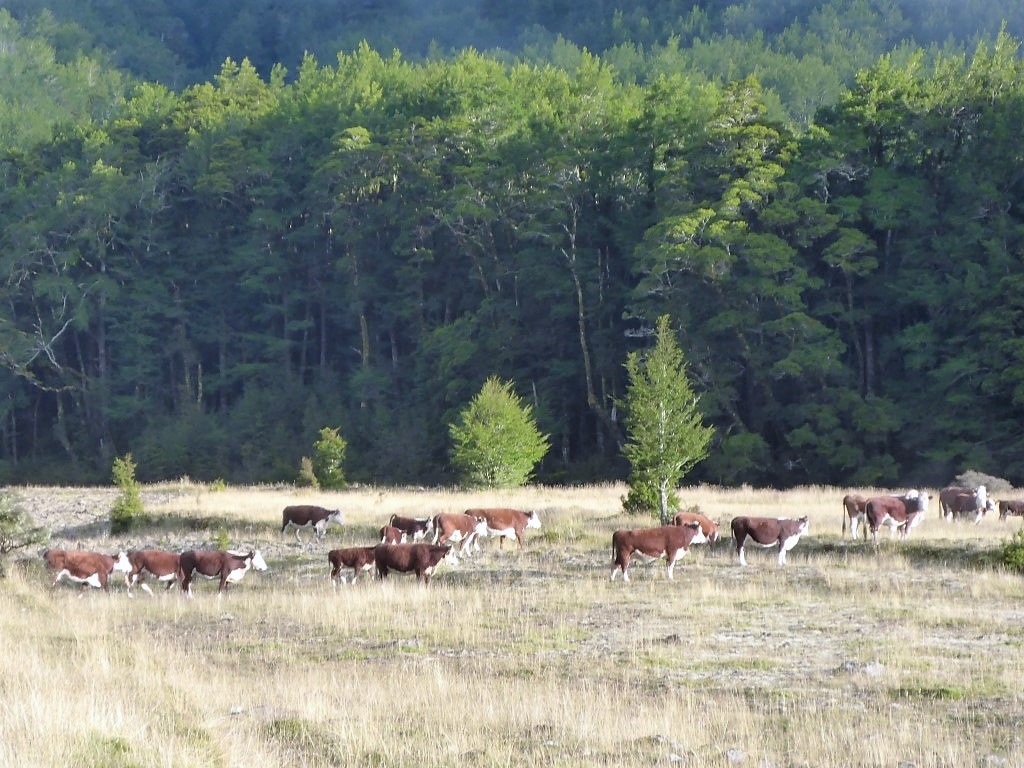
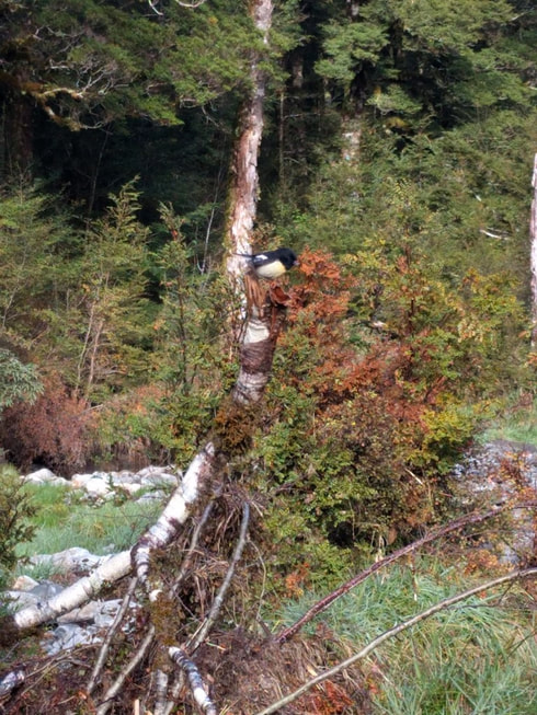
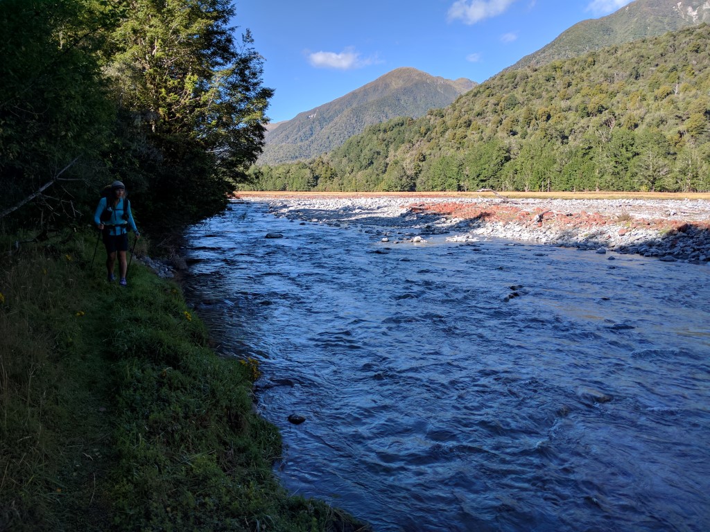
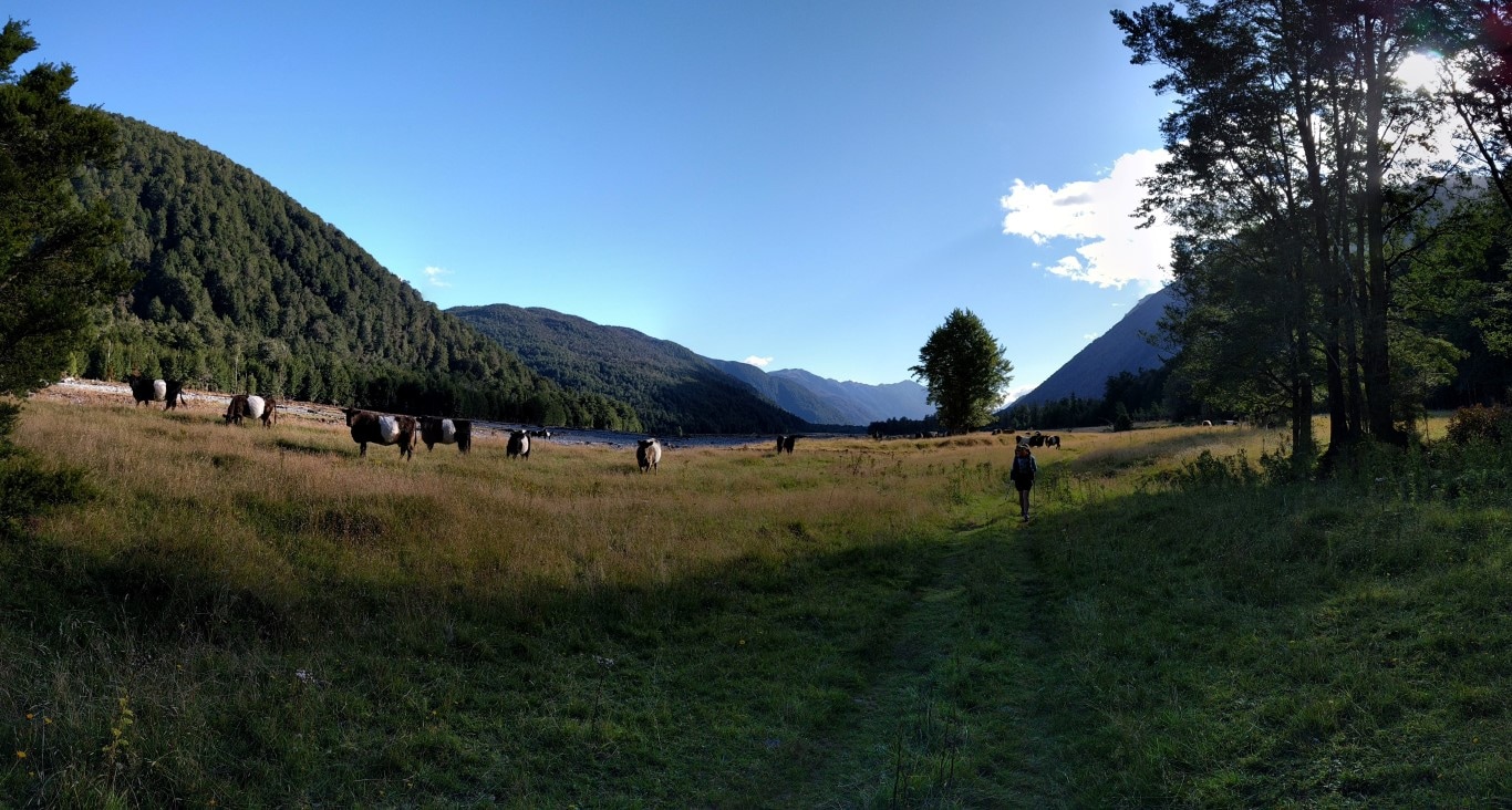
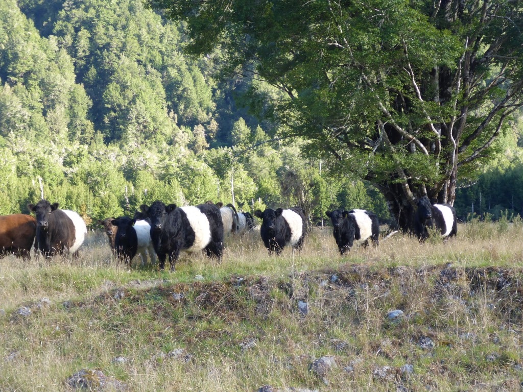
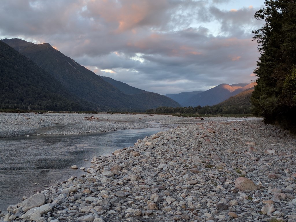
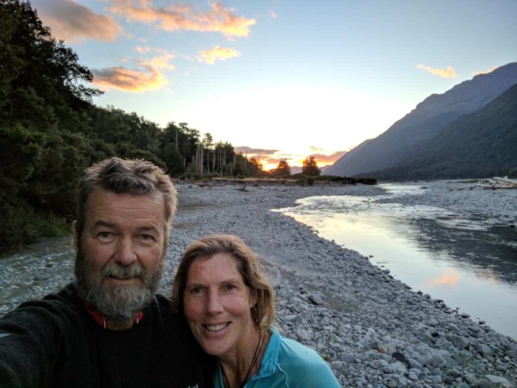
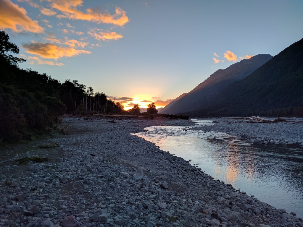
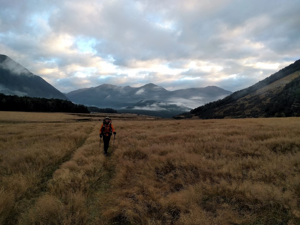
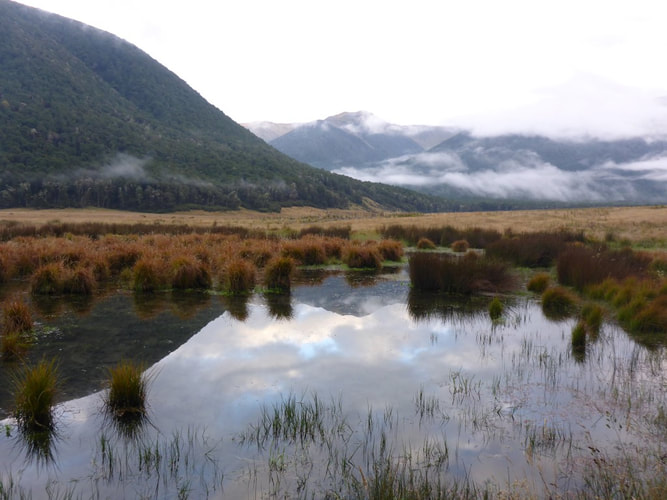
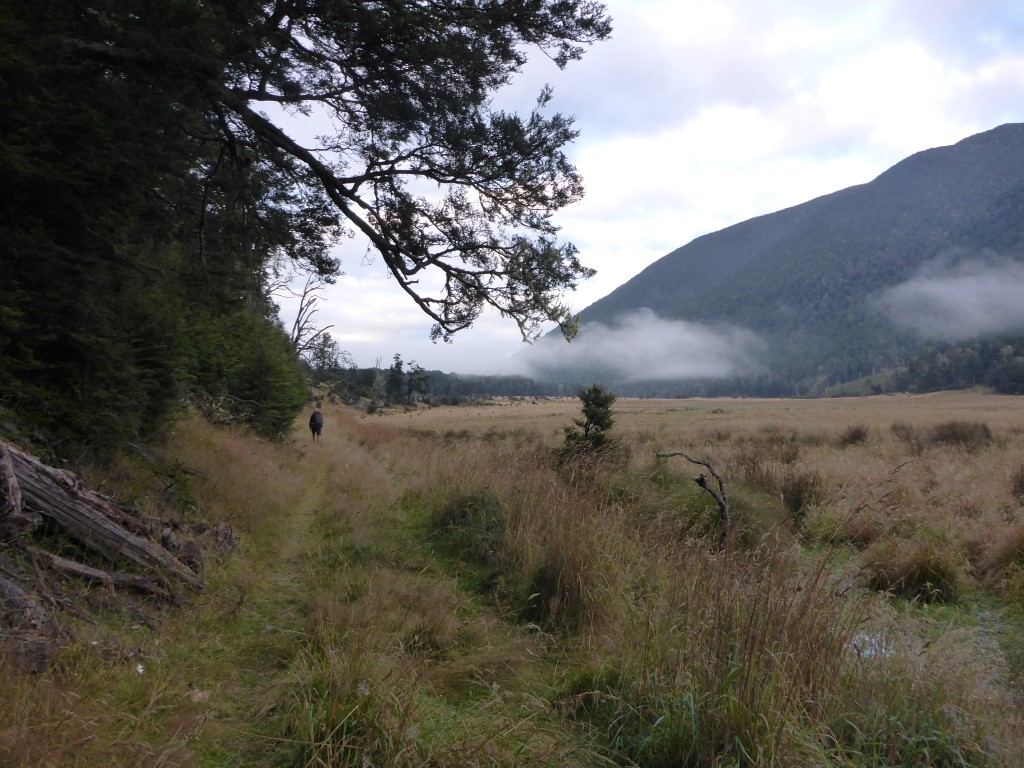
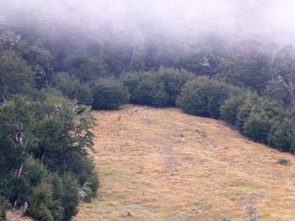
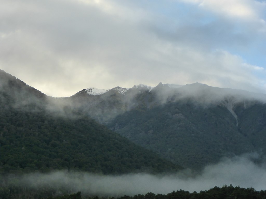
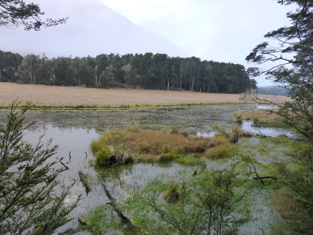
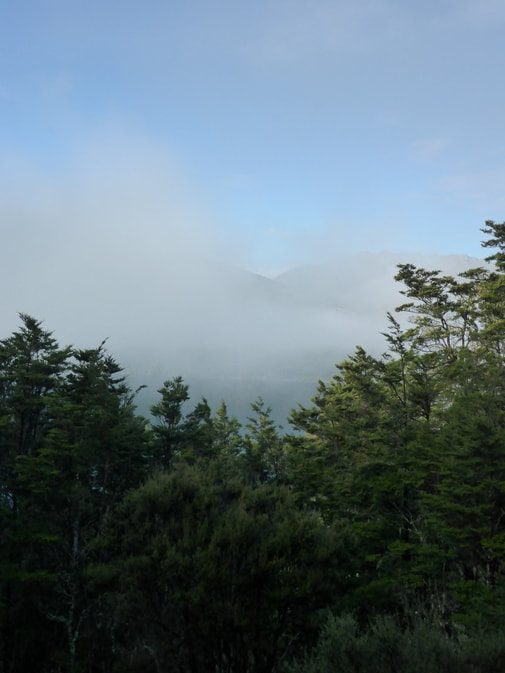
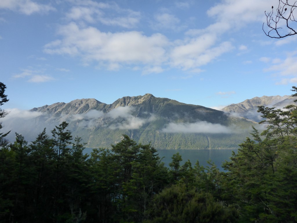
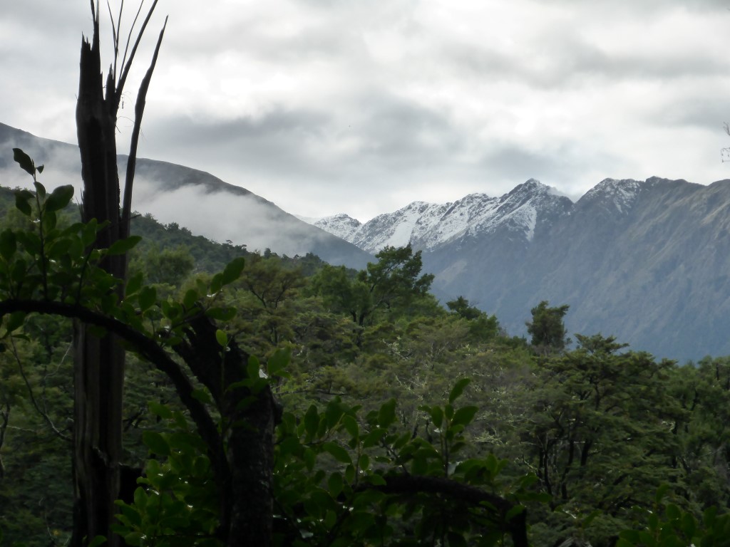
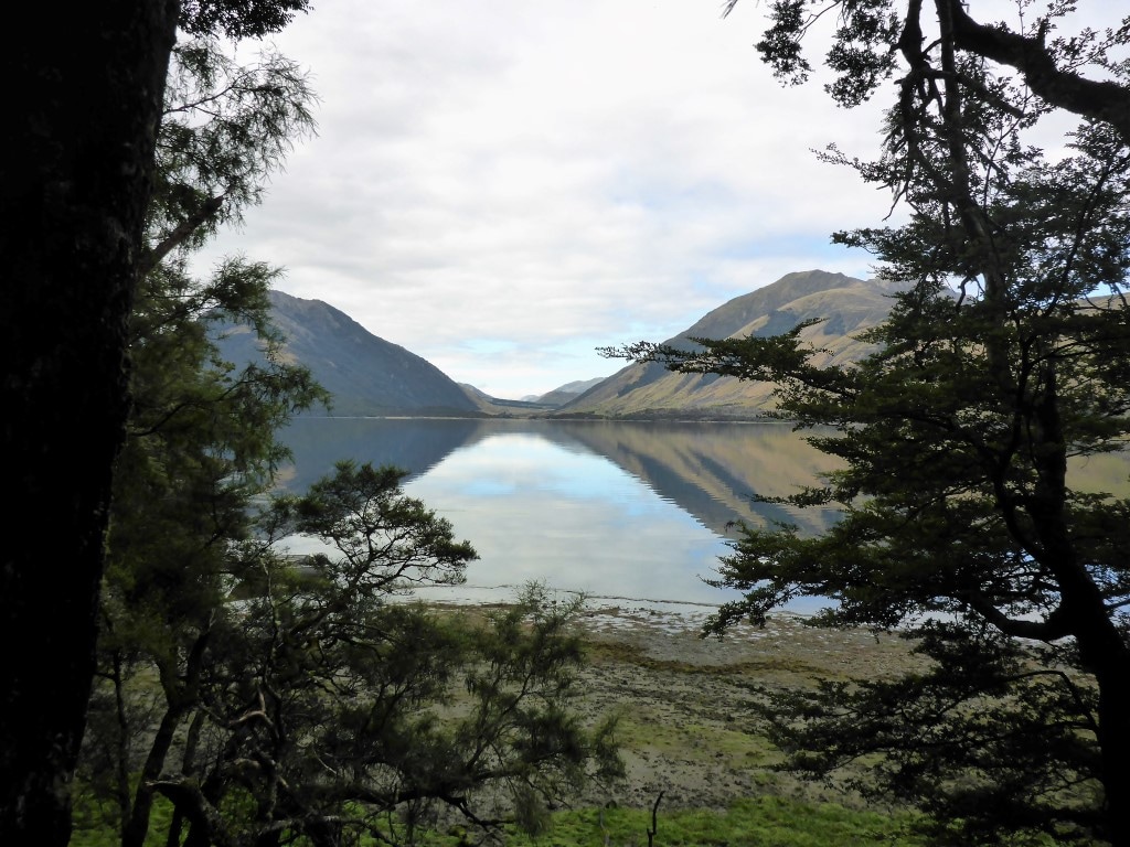
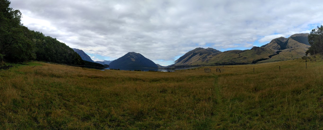
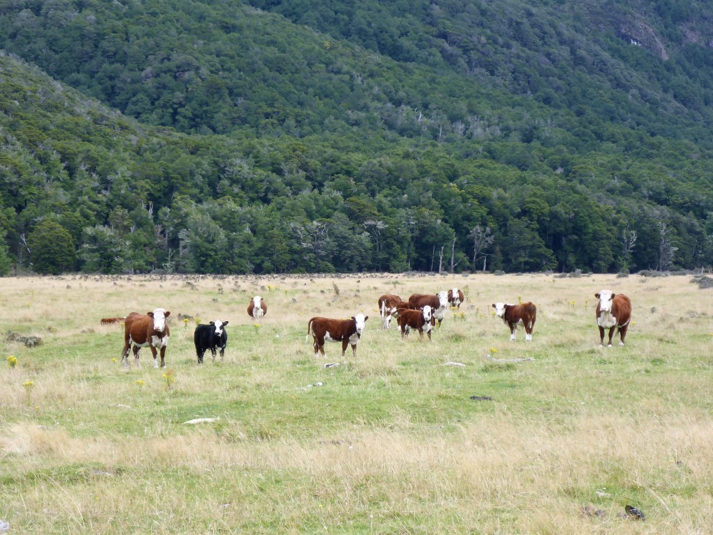
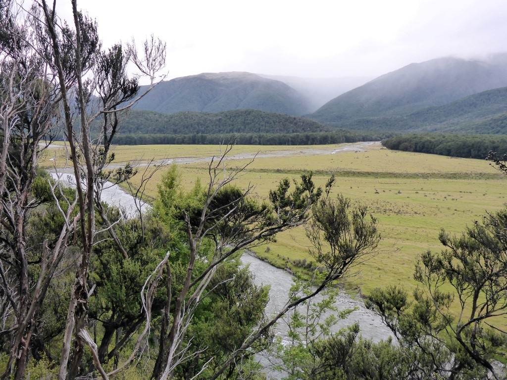
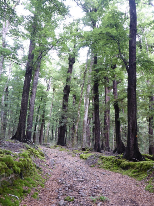
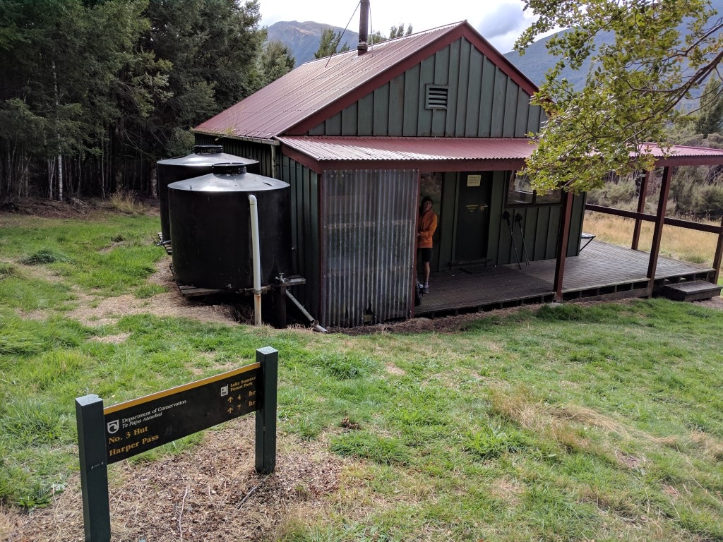
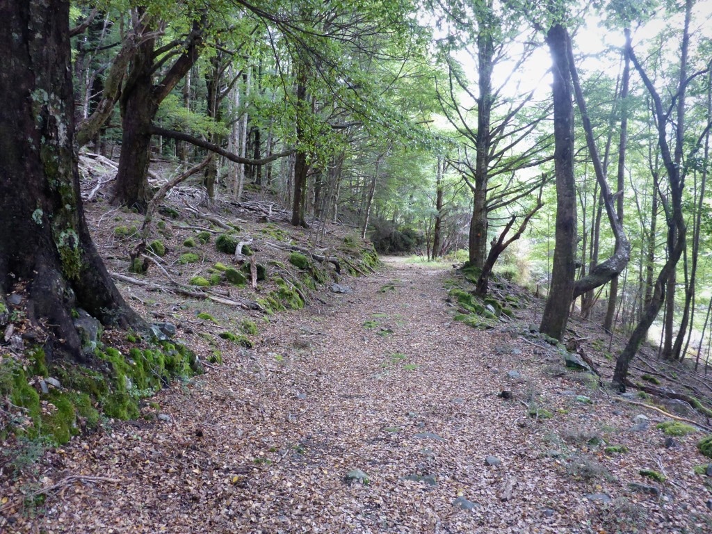
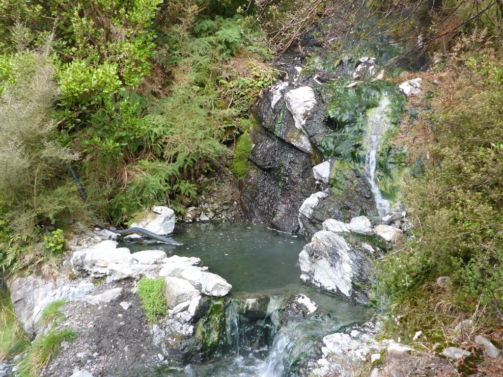
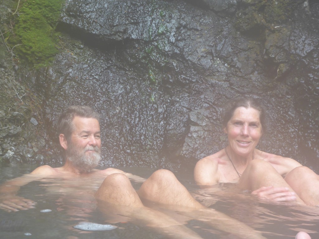
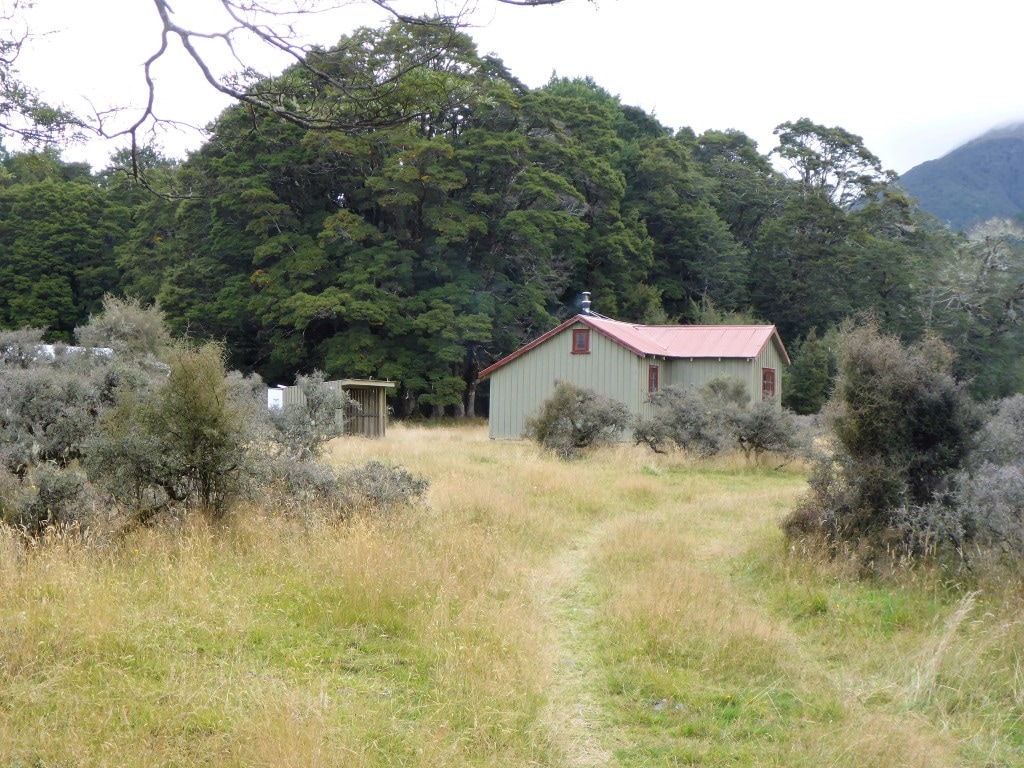
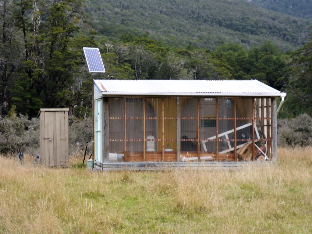
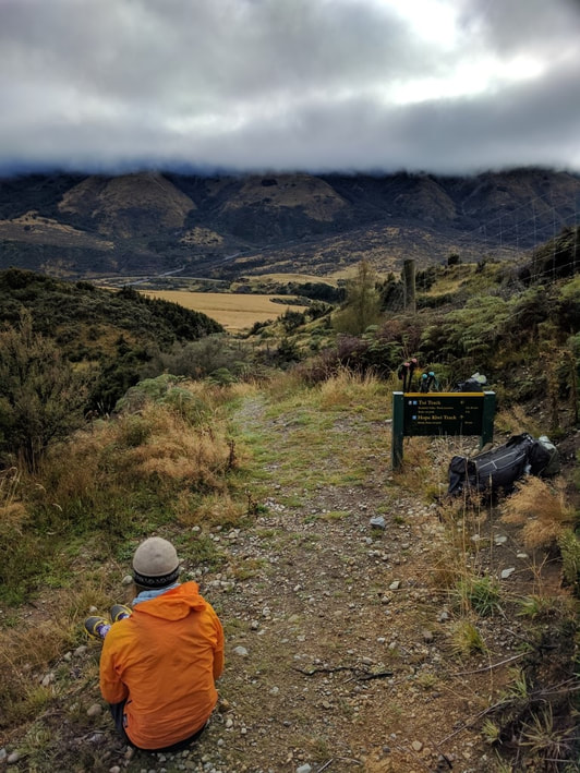
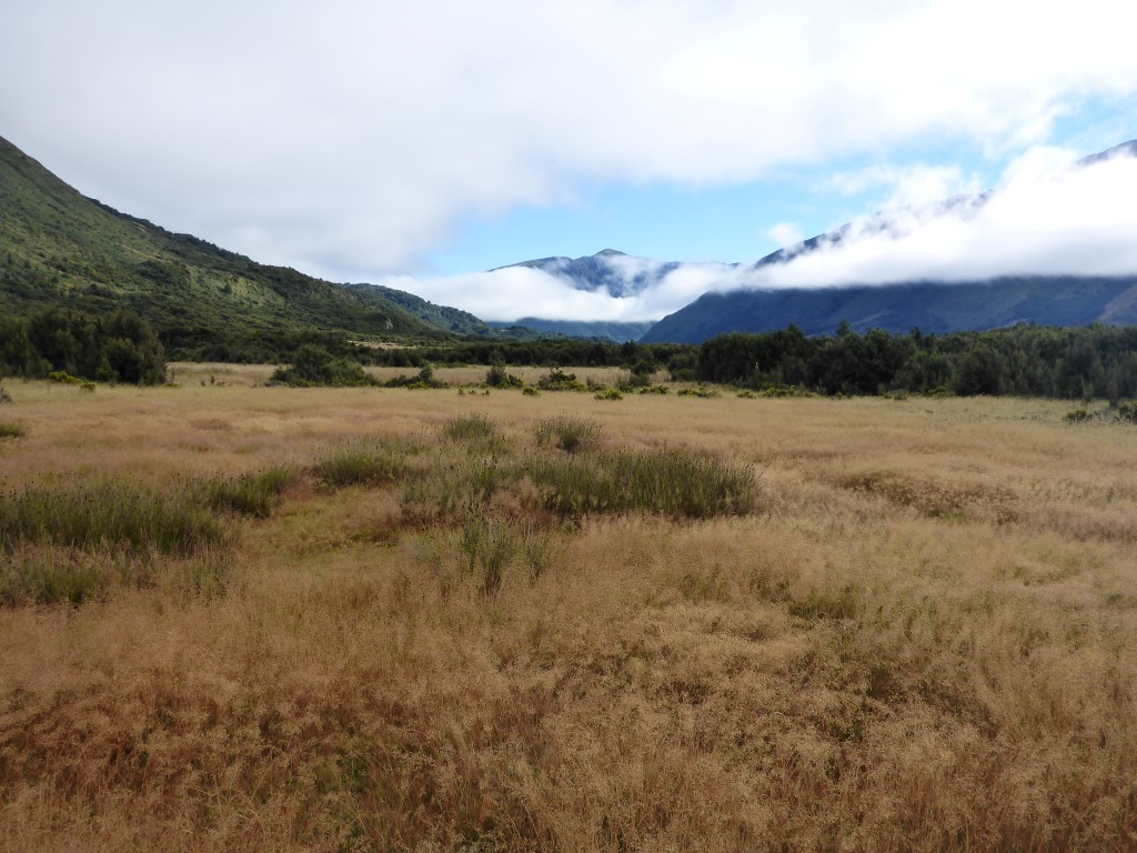
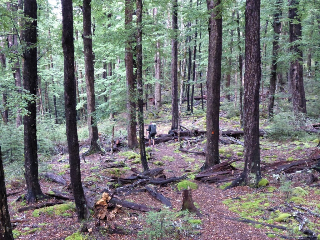
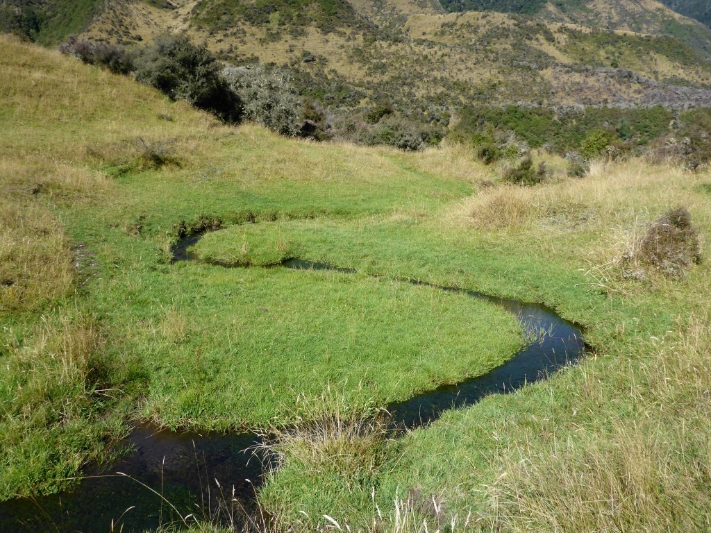
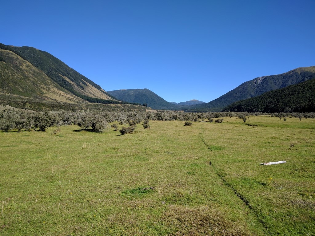
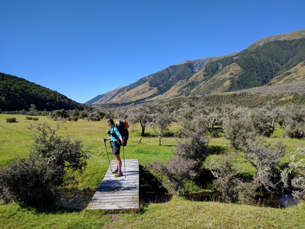
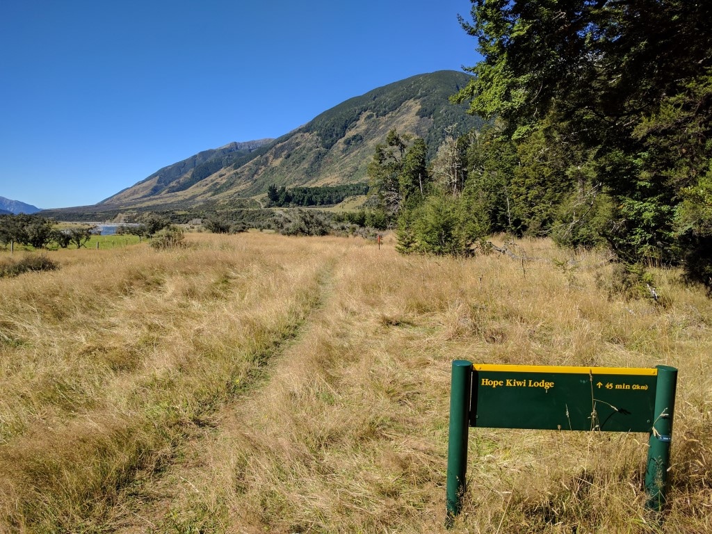
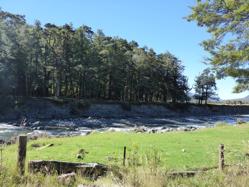
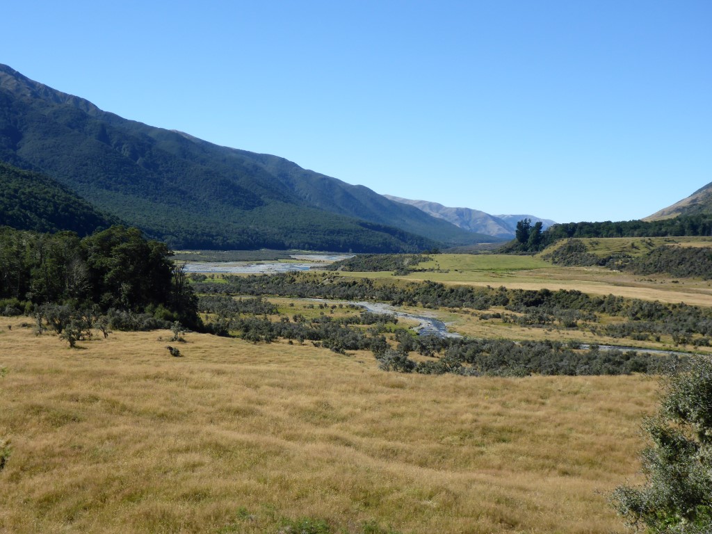
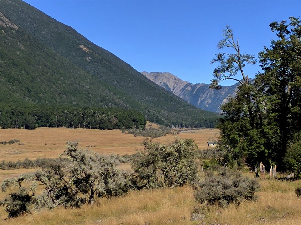
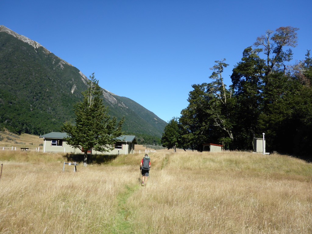
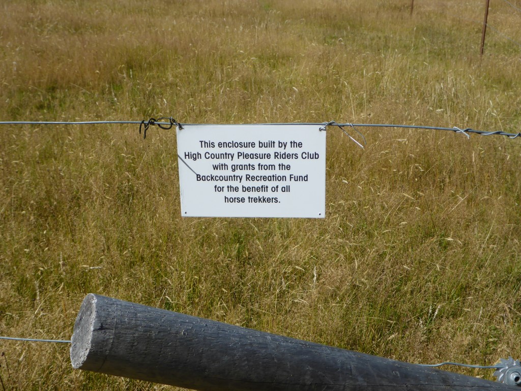
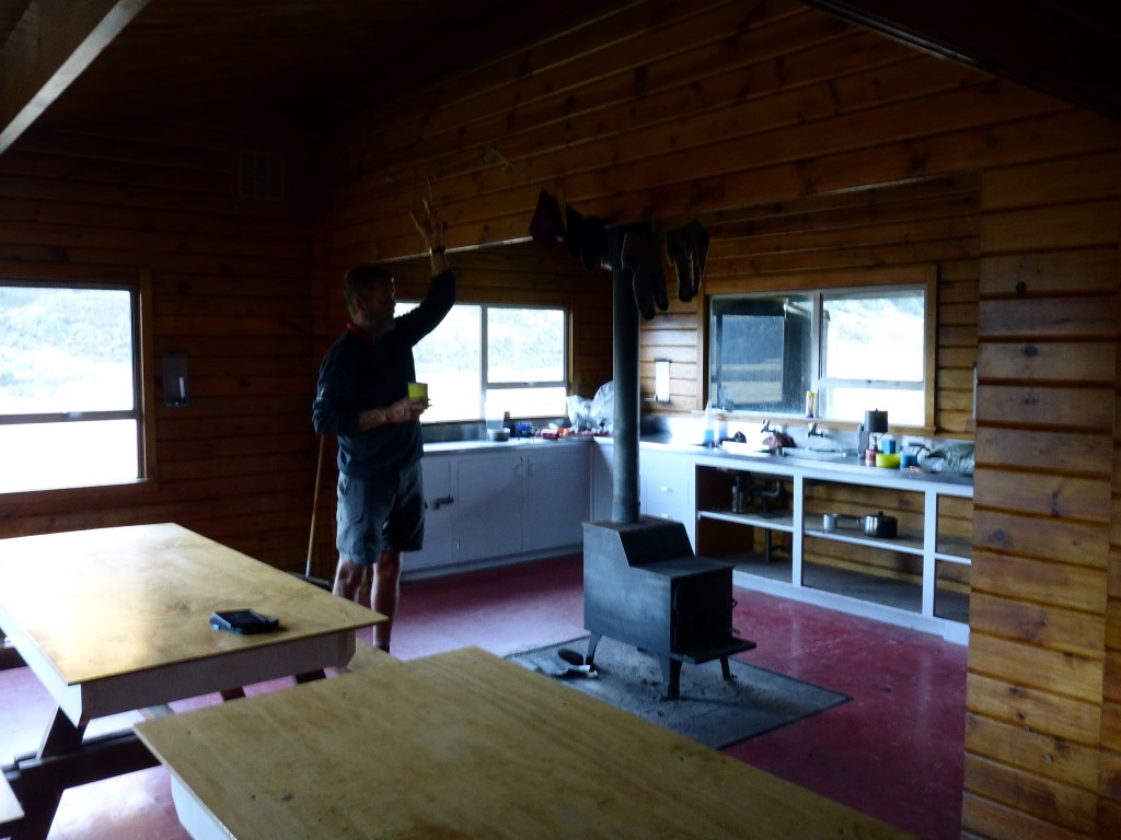
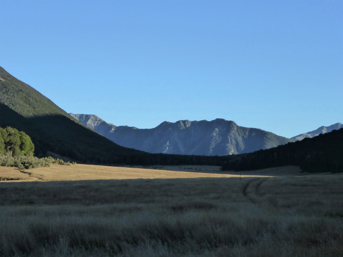
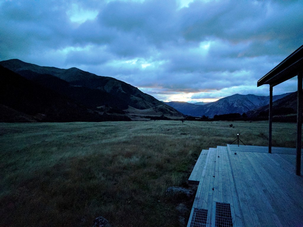
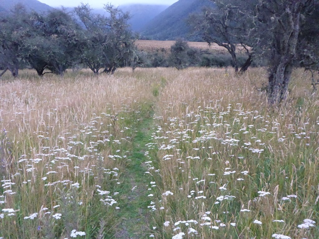
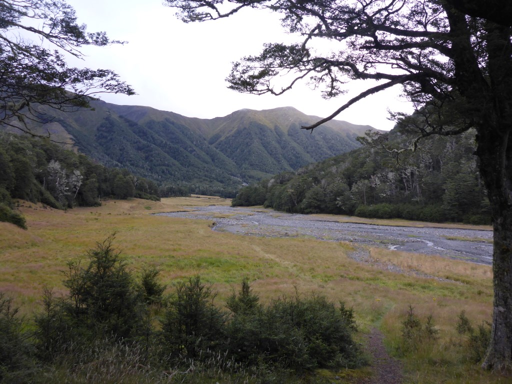
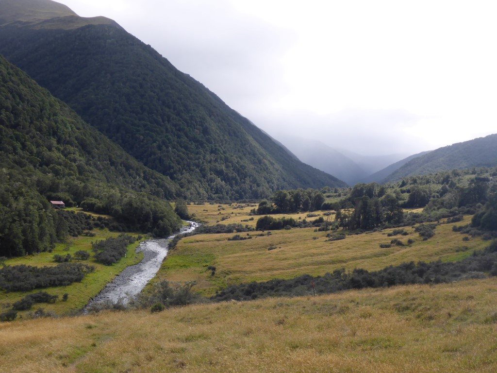
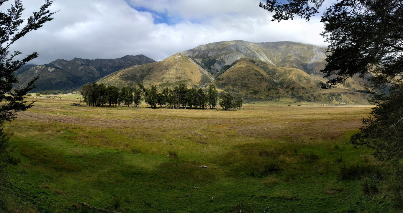
There was a beautiful sunset tonight looking west down the Taramakau valley towards the Otira, which made for a stunning backdrop. We were fed and into the tent by 1900. Had to kill dozens of sandflies - even a quick open of the tent to jump in introduces multitudes of the little suckers! B found an excellent trick - she just shone the headlamp on the bottom of her air mattress and as they all congregated on the lit spot, they could be easily squashed against the mattress - very clever :-) We were a bit later up this morning and left Hop-Kiwi Hut at 0715, with the target being Hurunui No3 Hut.. We arrived there about 1630 (9h15 in total), but I forgot to turn the GPS off for 40 minutes so it shows 8h42 of walking when it was almost exactly 8 hours (the notes suggest 9-11 hours)! We covered 29.5km today - the GPS info is here. This is the start of the Harper Pass Track which officially goes through to Aickens carpark on SH73. There is a little bit of family history here to start the day :-) We have a cousin Sue (my late Dad’s first cousin) in America, whose mother was Rosamond Harper. Rosamond was often taken tramping and mountain climbing by her father Arthur (AP) Harper who was a keen mountaineer and explorer. His father was Leonard Harper (son of the first Anglican Bishop of Chch) who, in 1857, was the first European to go right through to the West Coast, over the pass that now bears his name. It was a bit chilly this morning (but not quite a frost) as we left the hut and, of course, we had a wet foot crossing within 10 min of departing - so the feet started off a little bit cold! We walked up the Kiwi River valley in long pasture for 3km or so, with some sizeable marshy patches that we were mostly taken around on the bush margins. We saw some deer across the river in a clearing just below the bushline - even at some distance they were a little spooked by us! Then it was in forest margin for a bit up to where the open pasture and wetland areas finished. So the next phase was a steady gentle climb up through bush, eventually around above Lake Sumner. There is a lookout near Kiwi Pass so we shot up to that (a very short distance off trail up a hill) for a short break after 1hr45. The mist almost completely hid the lake when we arrived but kindly lifted while we were there to give us a view of the lake - Belinda managing the weather again :-) Then it was down mostly through beech forest to the head of Lake Sumner, where the Hurunui River flows in. There were lots of birds again today - same mix as yesterday - always nice to see! A brief walk on flat pasture beside the lake (two hikers just getting tent packed away in distance), and some photos of the lake, saw us back into trees. Soon after we came across a group of one mum (Sarah) and 3 students (her daughter Laura plus Chloe and Jared) from Papanui High School in Chch - the kids were doing it as part of the Duke of Edinburgh's Hillary Silver Award. We had a lovely chat with them for 15 minutes or so - it's fantastic to see teenagers out doing this sort of stuff (with supportive parents!!). They also gave us an update on the weather which seemed to have Monday looking OK and Tuesday with the possibility of the “muck” starting to come in sometime. After the break for a chat we were back into beech forest heading west. About 3km from Hurunui Hut (our planned lunch stop) we came back out onto pasture - with cattle grazing and 4wd tracks in evidence. The track then turned and headed south for a short while, directly across the valley through the cattle, to a swingbridge across the Hurunui River. Another half hour on the true right of the Hurunui saw us at Hurunui Hut (after 19km, just over 5 hours of walking), at 1245. We had a half hour for lunch and got underway again. 1.25 hours later we came across the famous hot pool, which we had been looking forward to. We stripped off and jumped in!! Had a soak for about 10 mins (with the sandflies!) - it was absolutely luxury! Then it was a quick dry-off and dress (sandflies in attendance) and back on the trail. We had hoped to be doing some river flat walking but it wasn't too be (we have almost learnt not to have expectations about what is ahead!!). Most of it was through the beech margin, with some harder going underfoot, including a little up and down - not really what we were looking for toward the latter phase of a long day! We must be getting fussy! However, the last 1.5km was on nice river flat to ease our passage to the hut! A Kiwi hunter by the name of Dave was here and had just started lighting the fire :-). Dave is close to my age and from Cambridge. He retired early from IT and has only taken up hunting in the last five years or so - he gets out regularly and absolutely loves it - and is doing a couple of weeks around here this time. We had already heard about Dave from a couple of other parties who had been beneficiaries of his generosity in sharing out a deer he had shot!! A very nice guy and we had lots of discussions! As usual, into bed not too long after dark, ready for an early start. Dave was also going early - he was heading back to Hurunui Hut where he had spent a couple of nights earlier, and also had some venison hanging in a tree maturing!! We got away feft Boyle just after 0630. Arrived at Hope Kiwi Hut about 1330 - 7 hours after starting, having walked for 6h20. Not bad going for 26.4km! It was a toss-up as to whether to continue further but finally decided to call a short day for our first one. The day’s GPS data is here. Because of the recent rain, and the notes about crossing the Boyle River on the Tui Track, we had decided that we would take the road diversion to get to the Hope-Kiwi Track. So we walked the road and crossed the river by bridge before arriving at the Tui / Hope Kiwi track junction at 0845. We stopped for a 15 min rest here and met a couple of young lads heading up into the hills after deer - a reminder that yet again we are walking in the middle of the roar (last year it was Pureora Forest)!! Bright colours will be our best defense!. We headed up into beech forest for a couple of hours until reaching Hope Halfway Shelter at 1120 after 18.7km. By this stage the sun had broken out! We heard a number of stags roaring through this section - we played leapfrog with the boys a couple of times and came across them trying to decide if they wanted to head into the bush after a couple of stags roaring not too far up into the bush! Quite a lot of birds today: fantail, robin, tui, bellbirds, tomtit and others we weren't certain of. A couple of km of beech was followed by a long stint of about 5 km mostly on riverflat pasture, following the Hope River, which was quite fast walking. There was one little diversion up to cross a swingbridge over the Hope River as the track swung up into the hills a couple of kms before Hope Kiwi Hut (easy to see on the GPS track!) near the Kiwi River. Then it was following near the Kiwi River through a mix of beech forest margin and river flat to the hut. As noted above, we arrived here about 1345 which is quite early to stop for the day. We had wondered about going on to the next hut, Hurunui, but as it was possibly another 6 hours (19km) we ultimately decided on an early stop. It was our first day back after 4 days of and we couldn’t see any major advantage in terms of making the next 3-4 days “better”, even if we tented in between huts - anyway, decision made. We had a leisurely afternoon drying our footwear and reading. Jason, a long time local hunter, was in the hut and had a fire going. We were joined at about 1430 by Peter, a geologist from Australia in his late 60’s who has regularly tramped in NZ for decades, including this section a number of times! He had just walked from Hurunui Hut and will also stay the night. He indicated it had taken him 6 hours - but he said he was getting slower and was not in a rush as he had a couple of days to get to Windy Point to catch a bus back to Chch. Later on, one more hunter joined us, so five in the hut for the night. Woke up this morning to a leisurely breakfast in our unit - very nice to have toast and marmalade, and bacon & eggs to start the day!! After checking weather etc on the internet, we quickly decided that we would wait out the tail end of Cyclone Debbie here in Hanmer Springs rather than get back out on the trail early. Our plan soon settled on staying in Hanmer until Thursday, then getting a ride out to Boyle River Outdoor Education Centre to stay there Thursday night, before hitting the TA again first thing Friday morning. So we booked Mon/Tues/Wed night at the hostel and rang Boyle River OEC to confirm that we could stay there Thursday night - all good. It’s worth noting that the Kakapo Lodge was fantastic - the lovely family that run it were very friendly and welcoming, and the standard and cleanliness of the facilities was second to none. Great place to spend a few days holed up. We saw a little bit of Markus and Nana and Tawera and Rachel who had booked in here also.
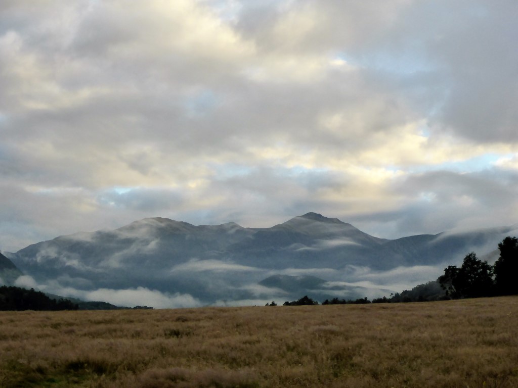
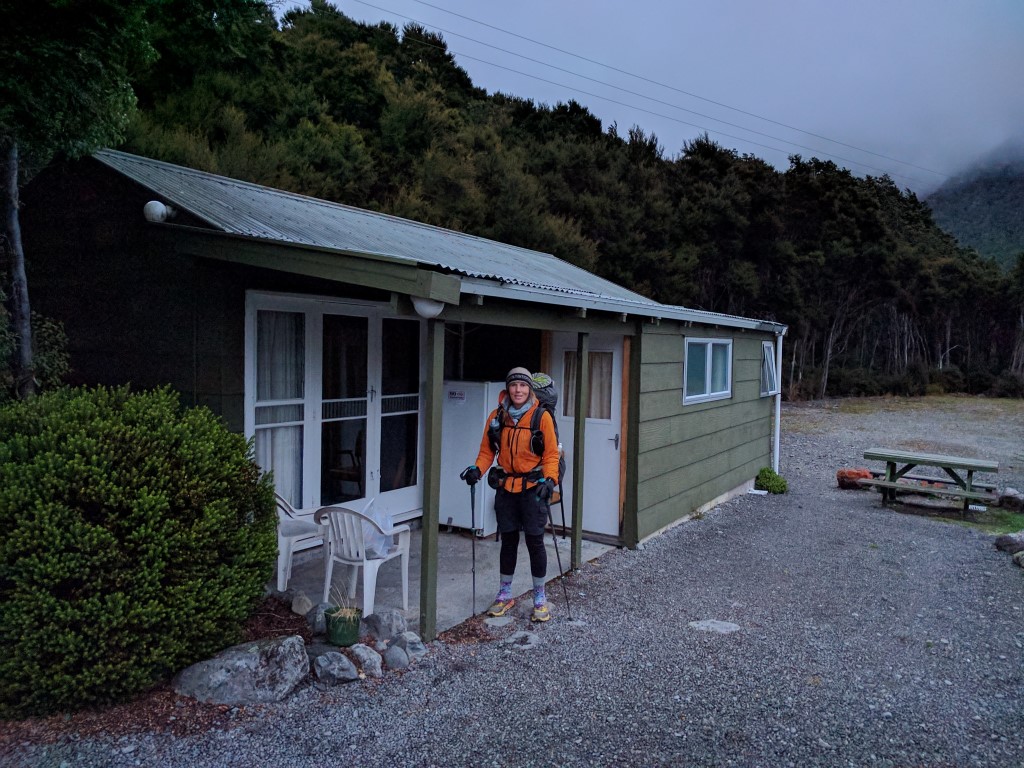
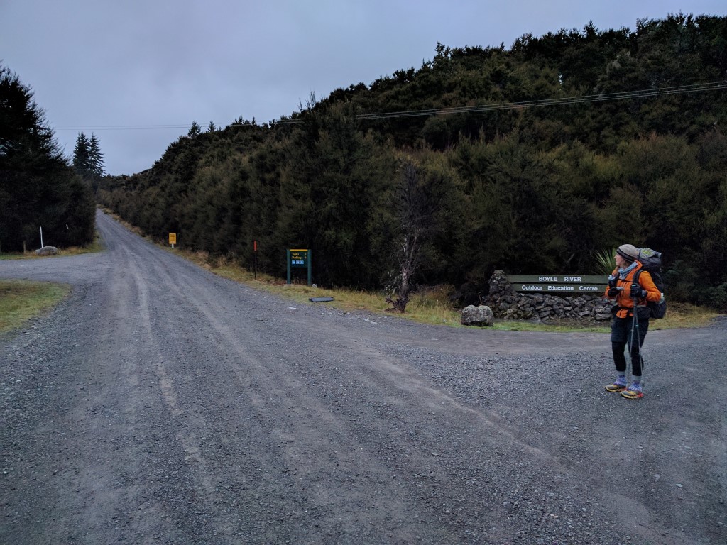
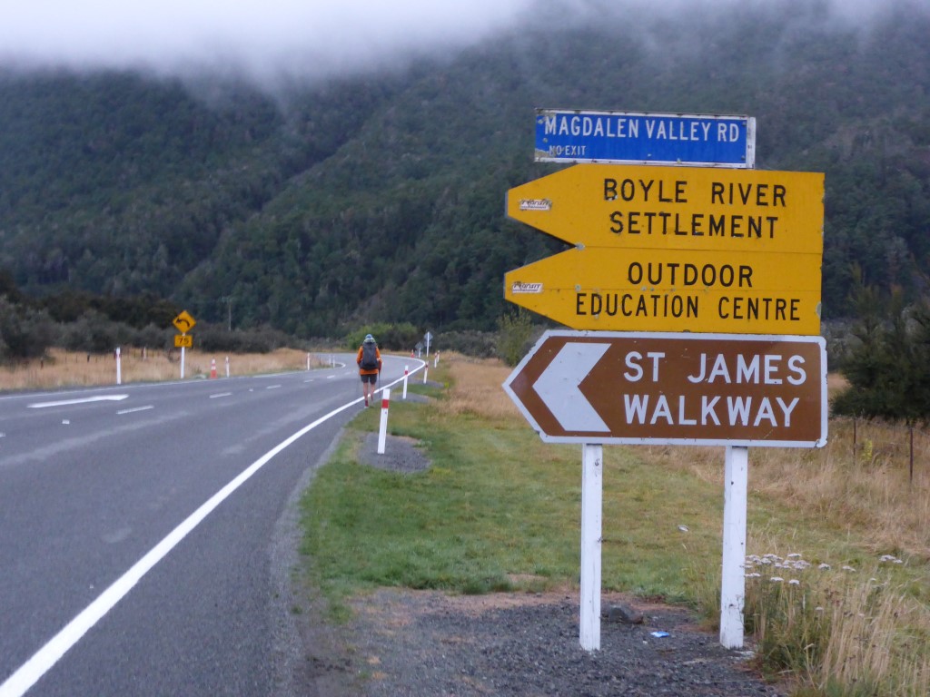
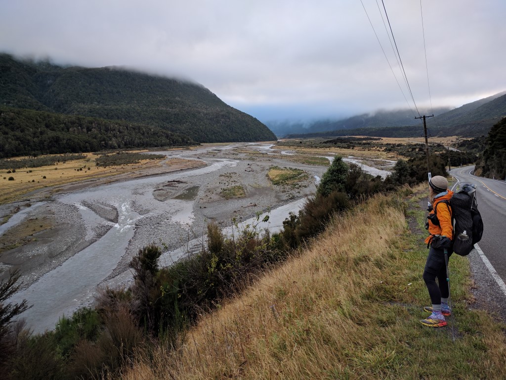
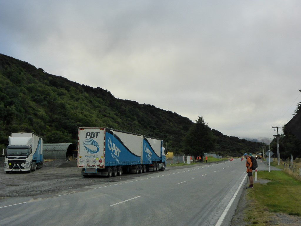
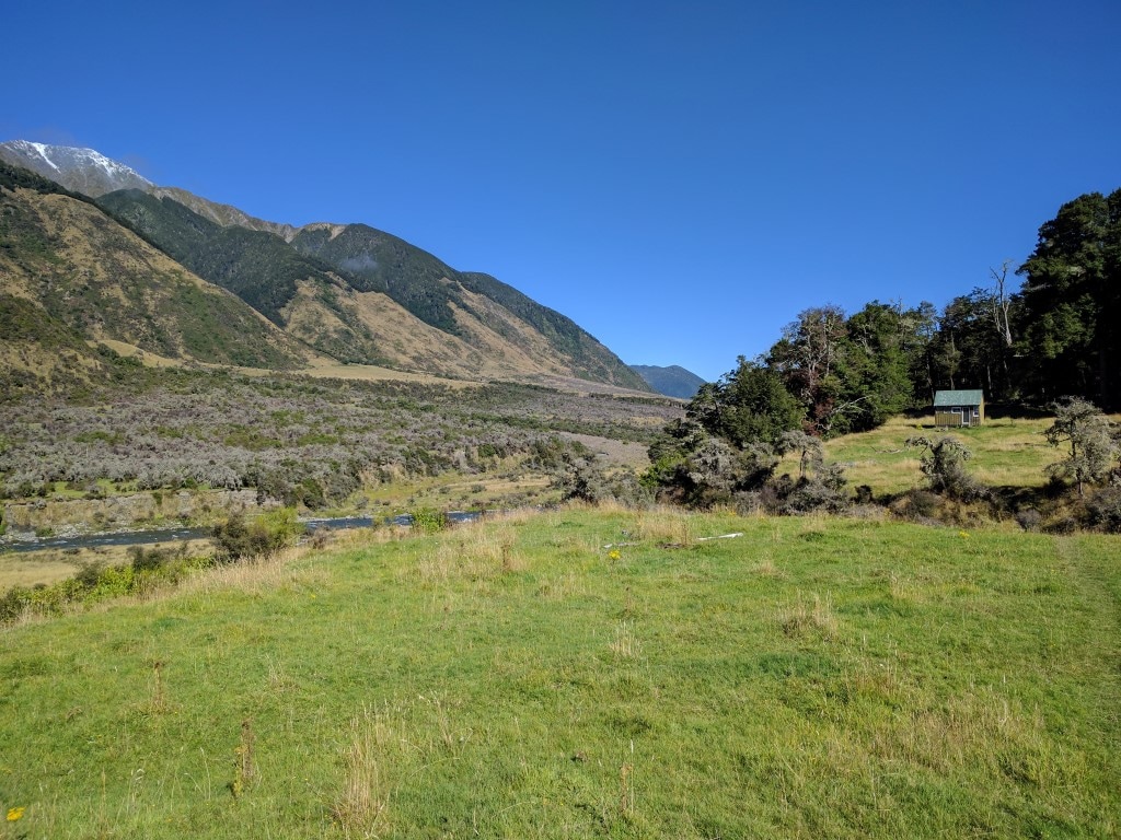
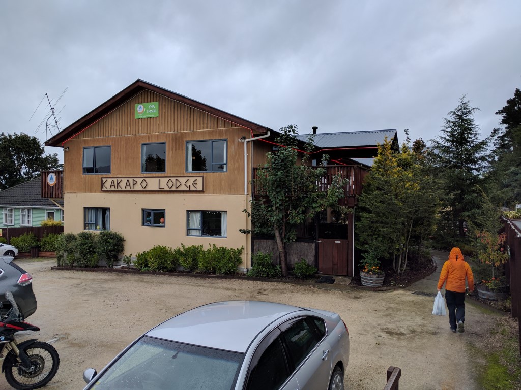
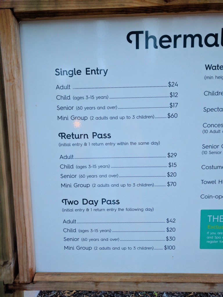
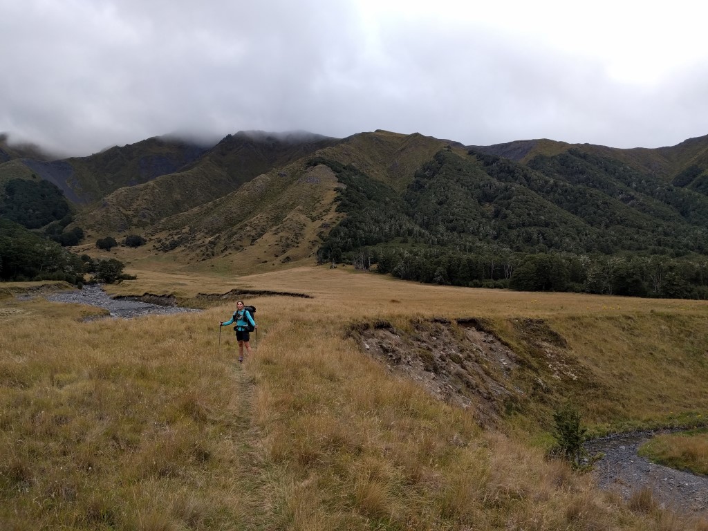
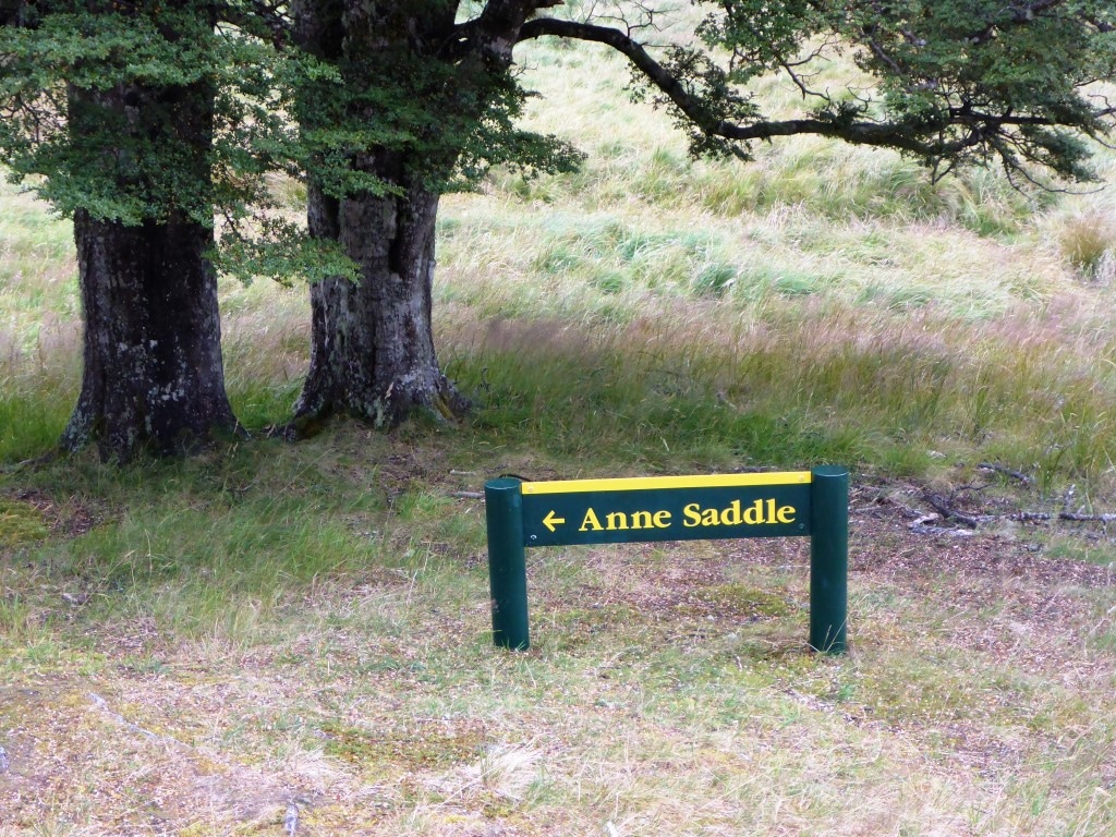
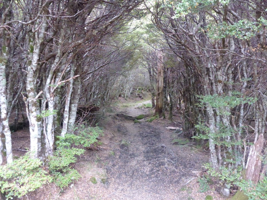
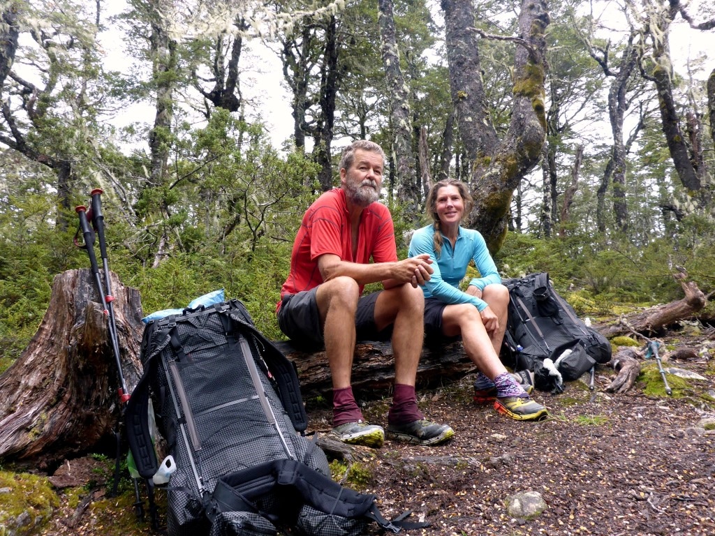
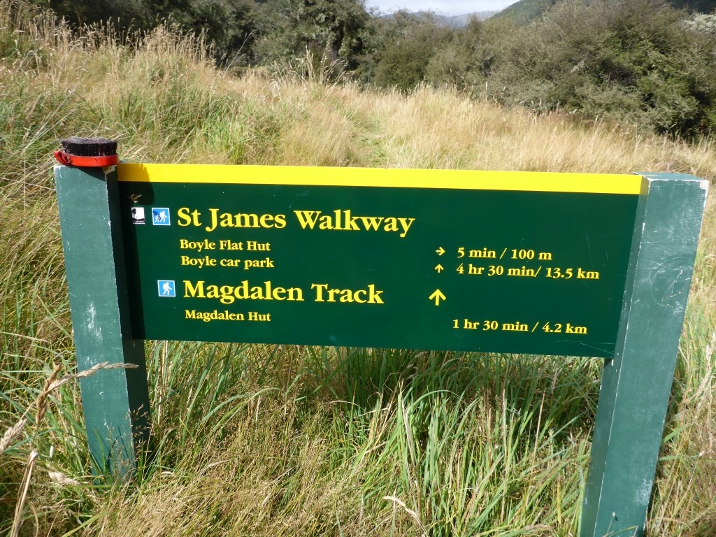
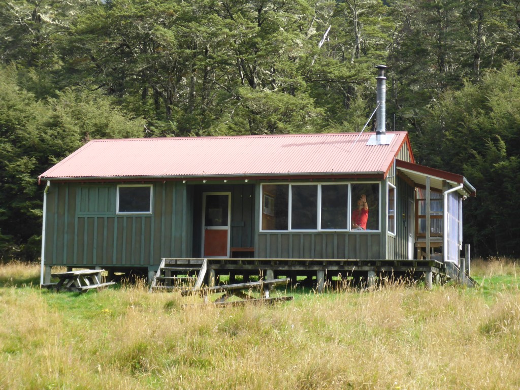
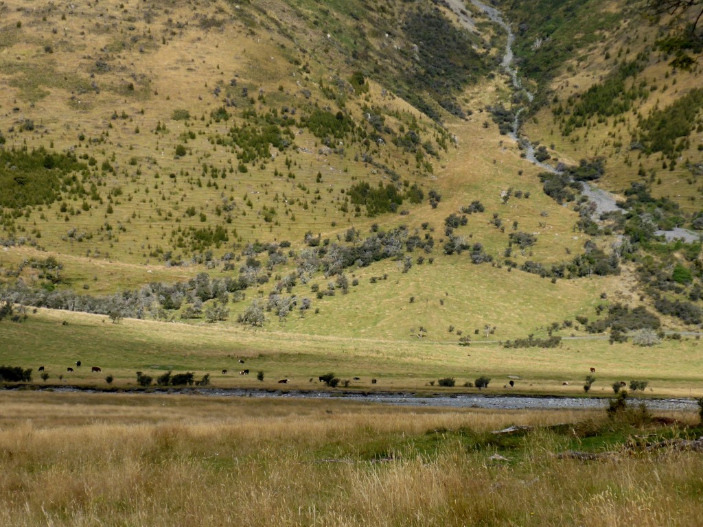
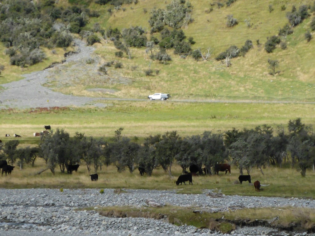
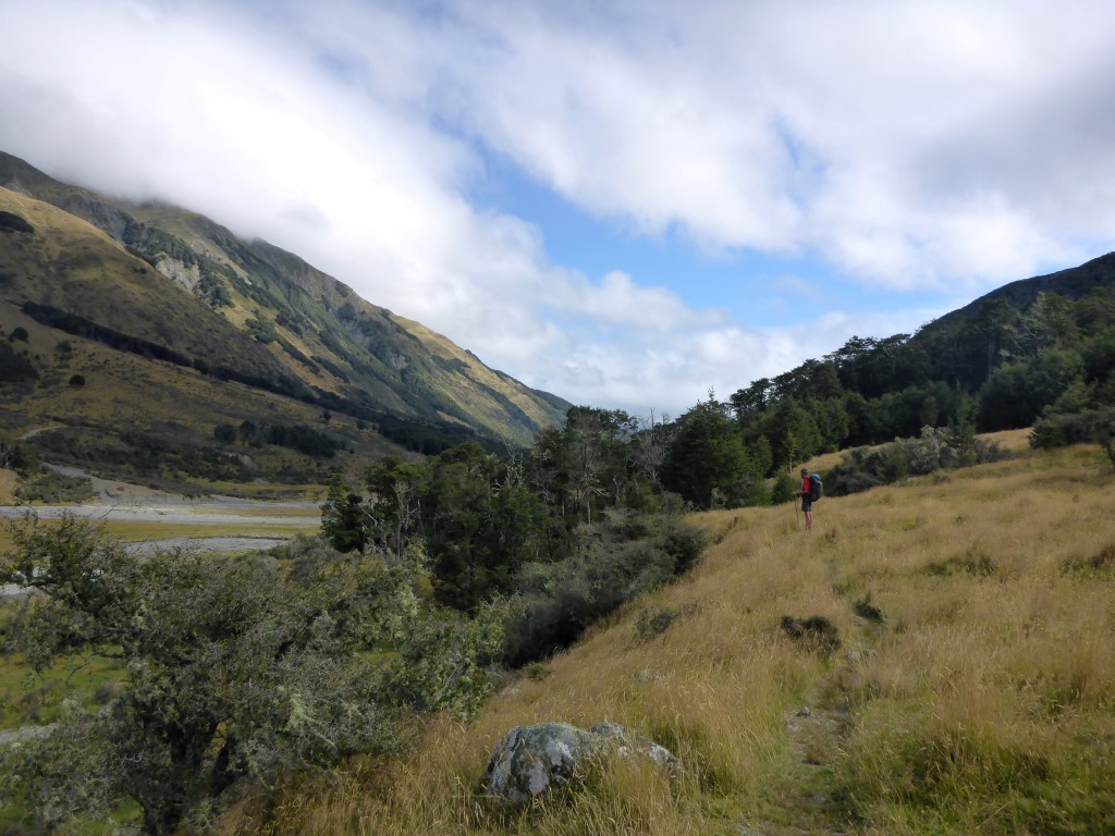
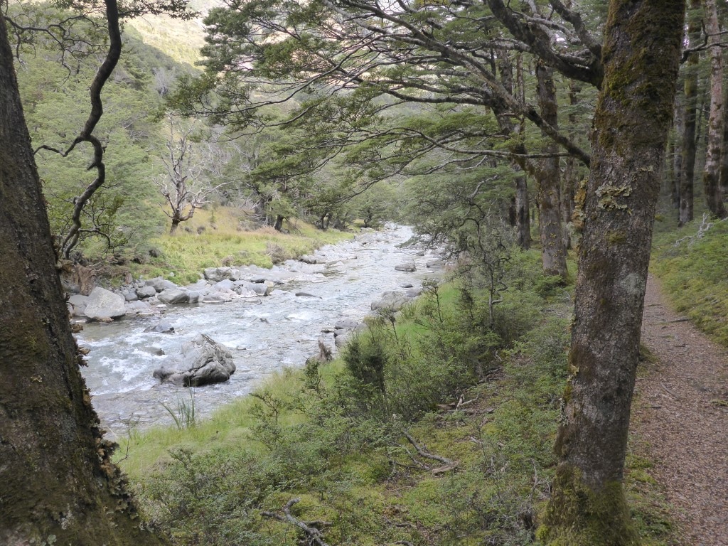
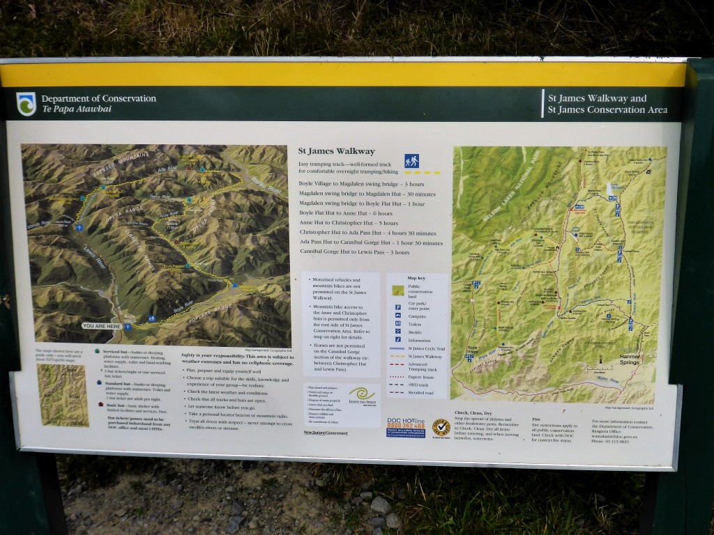
Our days in Hanmer were quite relaxing - we had been here at least a couple of times before! There was a little bit of rain around but nothing too dramatic so we got out for a walk everyday. First thing we did was organise a two day ticket to the hot pools :-) This was a milestone event for me as it was the first time I had ever got a “senior” (over 60) discount!!! $12 in the piggy bank! So we had a soak in the pools for a couple of hours Monday and again for an hour or so on Tuesday afternoon - it was very nice I must say. Apart from that we did a restock of our food supplies and mooched around town. A couple of nights we went to Robbies (pub) for dinner - I couldn’t resist pork belly both nights! We also spent a bit of time on Wed in the library where I copied photos onto a usb stick and sent them home as a backup (free wifi in the library as well). Didn’t really take many photos in Hanmer as we were too busy relaxing. Rang Belinda's sister, Julia, on Monday to get her to get some things together and courier down to us. The main issue was shoes - Belinda had started at Ship Cove with a new pair of Hokas but, as always, has worked them a bit harder than me!! Mine had already done 130km or so in Southland but were also pretty worn after 500km in total. The Richmond Ranges (and parts of the Waiau Pass route) with all its rocks was especially hard on the shoes - not only were the fabric sides blowing out, but some of the lugs on B's soles were coming off as well (I had done a temp repair on these in St Arnaud with Shoe Goo). Anyway, our spare shoes (Merrells in B's case) arrived fine the next day. B's are still wearable so she will take both pairs and swap depending on terrain. Monday we popped into the i-Site to get new DoC annual hut passes as ours expire on 4th April!! I would love to know how the pass numbering system works - a year ago in Hamilton we got WAI964 & 965 and now we have WAI602 & 603 (we had always assumed WAI was Waikato)!! Also saw Judy and Peter there for a chat - as noted earlier, they had crossed the Waiau onto the St James cycleway and walked directly into Hanmer rather than going to Boyle. Very nice to catch up :-) Tuesday we called Andrew from St James Journeys to see if he would take us out to Boyle on Thurs - as we couldn’t be bothered with the potentially time-consuming uncertainty of hitching in this case. $100 for an almost 2 hour, 100km+ round trip, with just us, was pretty good value in our opinion. Andrew picked us up around 1430 Thursday and we had a great chat on the way out. He is an ex-farmer from the inland Kaikoura road who has been operating the business from Hanmer for about 7 years. We would thoroughly recommend his services to anyone who wants some adventure and/or tours of the area, including pick-ups and drop-offs to/from any part of the trail nearby. Nick at Boyle River OEC was also very welcoming and helpful. He let us know that Tawera and Rachel had finally got their food parcel (long story!) from the OEC, but had decided to hitch around the next section to Arthurs Pass - not sure why - so we will not be crossing paths again. We had a little cottage, that can sleep around 8, all to ourselves - although there was a group of schoolkids in other accommodation at the Centre. Our last weather forecast was from Hanmer at lunchtime - on the basis of that, we were looking like having at least 4 days of clear weather - so B’s plan was to get away in the morning (Friday) and try and push reasonably hard (for us) to see if we could make Goat Pass Hut by Monday night, in case the next weather front arrived early. We had brought a wet dinner with us for tonight so, having demolished that, it was into our cosy warm sleeping bags for the night :-) We arose early and got underway at 0645 because of daylight saving change. Ended up getting to SH7 at Boyle Village at 1545. Another 9 hour day involving about an hour of rest stops along the way. GPS data for the day is here. We set off from Anne Hut as the sun was rising over the hills back down towards the Waiau. We quickly met the Anne River and headed up it. The saddle is only about 350m higher than the hut, so no great exertion involved! We arrived at Anne Saddle after 2hr and 7.6km, and had 10min break before the sandflies got too annoying. Going had been mainly river flat with some good fast walking, mixed with some swampy areas and the occasional climb through scrubby bush over little ridges where we couldn't walk alongside the river. Anne saddle is only about 1100m asl, after which it was back down another 200m or so and then back into more of the same, flatter, mix as noted above - except this time we were following the Boyle river on the other side of the saddle. Some of the grassy flats were very good underfoot and we were doing along at over 5kph. As a consequence, we made good progress to Boyle Flat Hut (not stopping at the small Rokeby Hut) where we stopped for an early lunch, after 16.7km! Getting to the hut involves a short 5min detour over a swingbridge, but worth it - even if just to avoid the sandflies while you stop! We left the hut at 1200 and headed back across the swingbridge and continued downriver, eventually crossing another swingbridge over to the true right of the Boyle. Here we actually started climbing again through the margins of some nice beech forest. Part of the St James Walkway, the track was generally in pretty good condition - still plenty of rocks roots and mud/water but better than usual TA standard! We then heard a cow mooing for the first time in ages! Eventually saw some more open farmland on the other side of the river, with cattle grazing - even saw a farm ute driving along a track. The country then opened up a little on our side as well and we could see evidence of the cattle being there recently - no fences to keep them from crossing over the Boyle River. Shortly after this, we stopped for a break (2hr after leaving the last hut) and saw a NZ falcon (karearea) flying over us making a distinctive screech! Quite exciting as neither of us had seen one before We only stopped for less than 10 minutes as the sandflies had found us again! We continued down the river until about 5km from Boyle Village where another swingbridge took us back to the true left of the river where we continued down to the Boyle carpark and then straight out to SH7. There was a little DoC area to pitch a tent if required but we had planned to try and hitch into Hanmer, especially as it was only 1545 having made good time. About 20 cars must have passed our thumbs without stopping before a lady pulling out of the Boyle carpark stopped. She was a lovely Slovenian lady who had been living in NZ for four years with her English husband, who has a job on the Chch rebuild. She had been out tramping and was heading back to Chch so offered to drop us at the Hanmer turnoff. We chatted lots over the 50km or so and as we got to the turnoff she VERY kindly offered to take us right into Hanmer, for which we were very grateful as it saved us waiting on another ride! She dropped us off at the Kakapo Lodge (YHA) where we managed to get a completely self-contained room for 3 nights, after which it was into an ensuite room with no kitchen facilities for one night (slumming it! - prior booking on the self contained room for Wed night). We started to catch up on all the internetty things as we had been (pleasantly!) out of cellphone reception for all five days since leaving St Arnaud! Had a big clean of ourselves and clothes - then did a bit of a quick shop and got some takeaways for dinner! Eggs and bacon with toast (for me at least) for breakfast tomorrow!
|
AuthorBelinda and Anthony (aka Tony) Hadfield made a decision, in their late 50's, to do something a "bit different" and walk New Zealand's 3000km Te Araroa Trail over summer 2015/16 - although updates will now tell you that this plan will take longer now!!. As the old saying goes - "don't leave home 'til you've seen the country"!! Archives
January 2018
Categories |


 RSS Feed