|
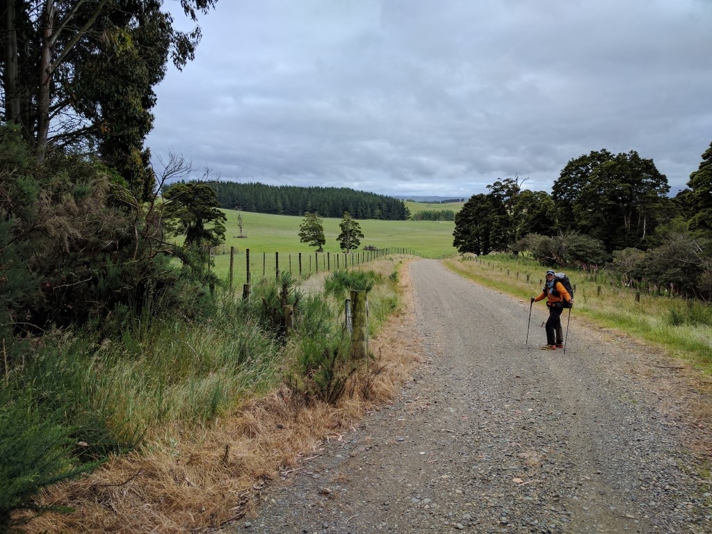
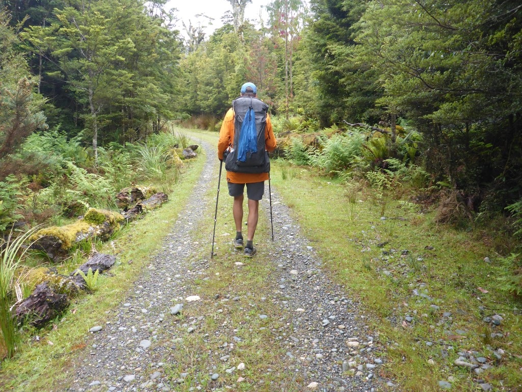
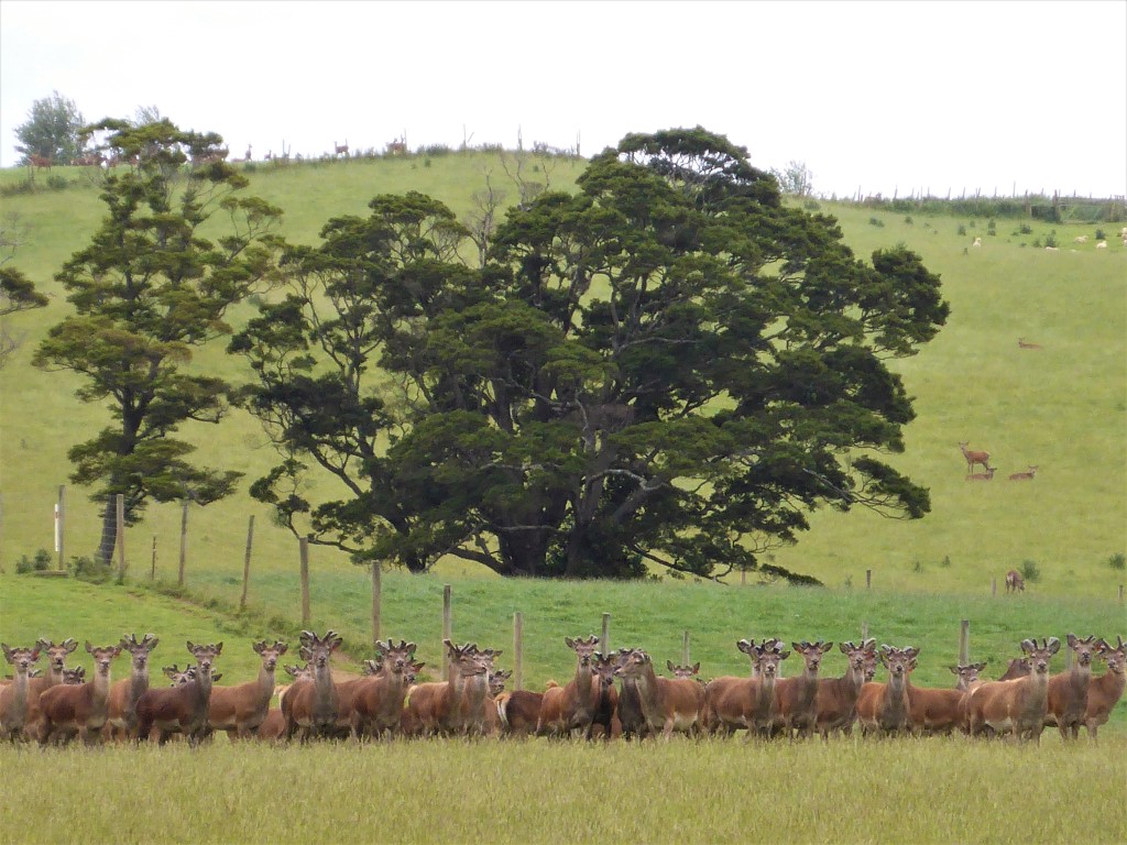
Having last night made the decision to pull out, we knew we only had 8.5 km to go to where Sam was going to pick us up at 1100, so we started stirring about 0730. It took us until 0845 to get underway on a chilly morning mainly because, as I mentioned earlier, I was pretty much incapable of doing anything useful like pack up the tent on my own! I helped Belinda as best I could but she did almost all of it! The GPS data is here. As we weren't walking much further, we even decided to have breakfast in bed this morning (OSM bars!!). As we were packing up, we noticed a real chorus of birdcalls - in the tree just above the tent were as many as four bellbirds serenading us!! This was a very special treat - we are more used to tui around home rather than bellbirds and they are so melodic. We set off down the gravelled track - it was supposed to be a km until Merrivale Rd officially started but we certainly couldn't tell the difference! We also missed another branch of the "road" that the topo50 maps said we should meet after another 500m or so! This track went mainly downhill for 5km through mostly exotic forest before becoming a wider, better formed gravel road where we broke out of the forest into farmland. It was 3.5km of pretty flat road from here with mainly deer being farmed on either side in what looked like a pretty substantial operation. As everywhere in Southland, the stock looked in great condition :-). And, as always, the wind was blowing somewhat - in this case a cold breeze from our back quarter even had me with my raincoat hood up!
 Coming out of the forestry after 5km farmland, and a wider gravel road, came into view!
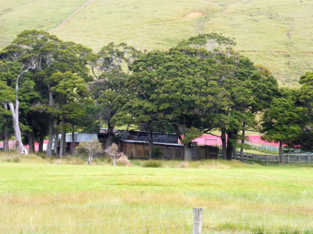 Deer yards and shed. Wasn't clear why red windbreak cloth was used here to help direct the deer.
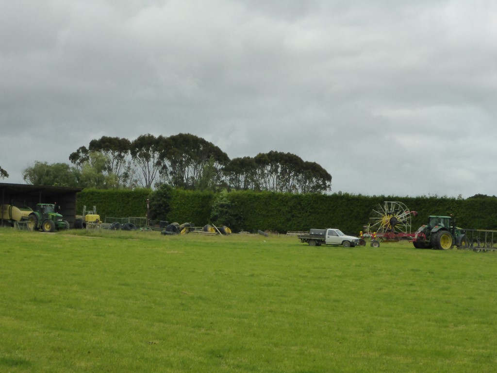 Something very close to my heart - farm machinery!! :-) We arrived at the intersection with the Otautau-Tuatapere Rd about 1030 and Sam turned up about 1045 to take us back to Gore. So that was the unexpected ending to this attempt to complete TA. Re-plan, re-plan, re-plan!!! We stopped in Gore for a nice lunch with Sam and he then dropped us off at the same motel we had been in a few days before, around 1330. After a wash and sort-out we wandered 500m up the road to Sam and Heidi’s place to catch up with them and the kids again. We had offered to shout takeaways for dinner but, being a public holiday, it was next to impossible to find a takeaway place open in Gore!! I’m embarrassed to admit that we finally had to settle on McDonalds as the takeaway option (it was that, KFC or Pizza Hut)!!! Anyway, great to catch up with the Gore family again as we don’t get down this way often. 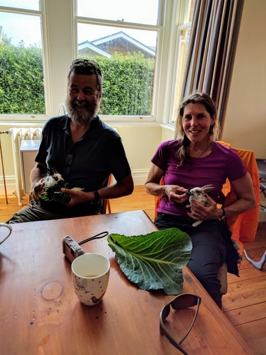 I was even convinced to hold and feed a baby rabbit - I'm normally focussed on exterminating them in the wild!! Tues 3rd Jan Sam picked us and our packs up about 0900 from the motel and we went back to their place where Sam cooked us an omelette for breakfast - they keep heaps of hens and Heidi is always giving away surplus eggs!!! Sam then drove us down to Invercargill (with Sophie, their youngest, in tow!) for us to catch a 1:00 p.m. flight back to Wellington. Amelia came in and picked us up, so we were back home in Paraparaumu by around 4:00 p.m. Now it’s recovery time and hopefully back on the trail sooner rather than later!!
4 Comments
|

AuthorBelinda and Anthony (aka Tony) Hadfield made a decision, in their late 50's, to do something a "bit different" and walk New Zealand's 3000km Te Araroa Trail over summer 2015/16 - although updates will now tell you that this plan will take longer now!!. As the old saying goes - "don't leave home 'til you've seen the country"!! Archives
January 2018
Categories |
 RSS Feed