|
Andrew and Ria swung by the motor camp in Whangarei about 0900 and we headed off for the airport - stopping at Ella's place in Onehunga to pick her and Brendon up. Then it was on to the airport for our (B and mine) first ever Jetstar flight (had booked same one as Ria and Andrew for obvious convenience). Late departing but got to Wellington OK. Because we were late arriving, and AirNZ were on time, it meant that we decided to wait the 10-15 minutes of so for Amelia to arrive in Wellington from Auckland (she had been scheduled to arrive an hour after us). Sara kindly came in and picked us all up in the big wagon. While sitting at the airport waiting for Jetstar, I found some reasonable flights back up to Whangarei so have booked B and I to come back up on Thursday 10th. We have been in touch with Hilton Ward and he and Melva are intending to come down and walk the second day (Whangarei Heads Walk - 12/2/16) with us - so looking forward to that (including meeting Melva who was away when we stayed at Ngunguru). So now its a busy 10 days or so at home to catch up on things before getting back into the walking!! See you then :-)
0 Comments
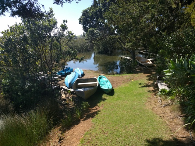
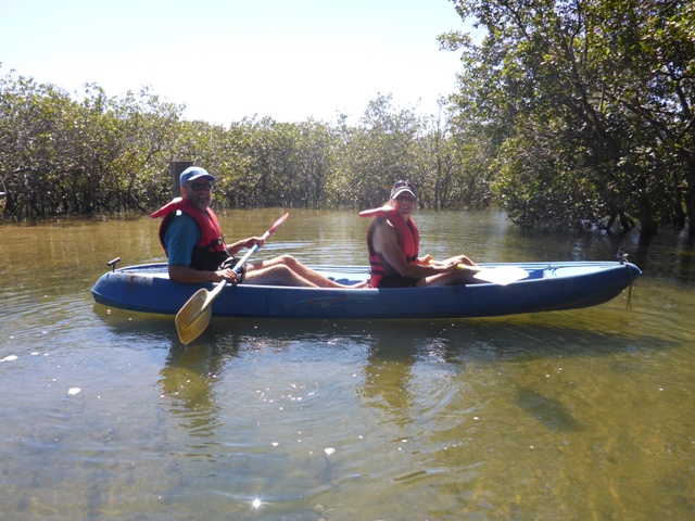
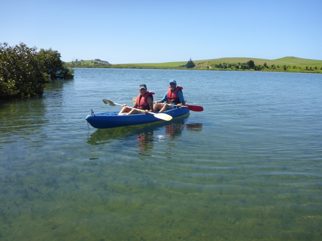
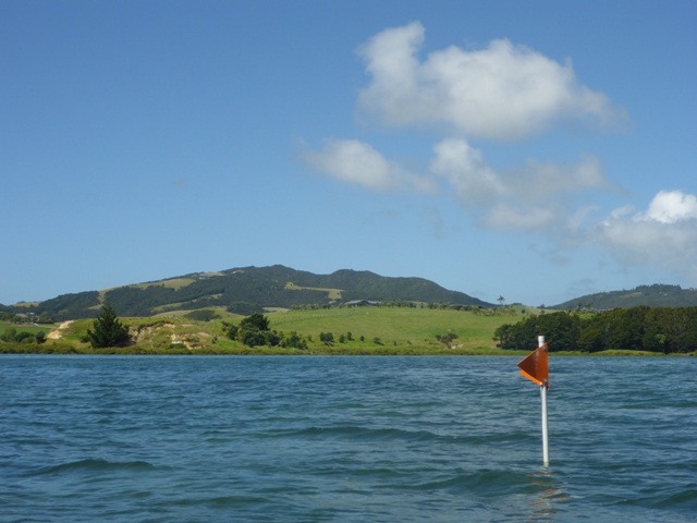
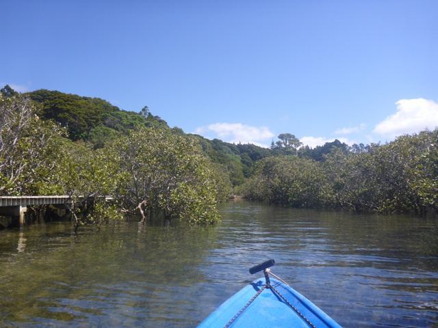
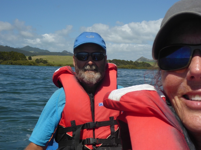
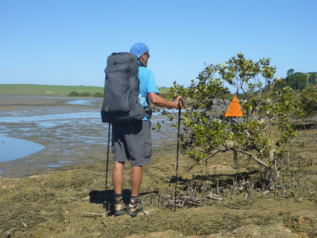
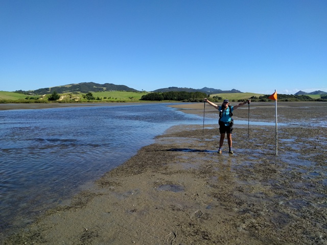
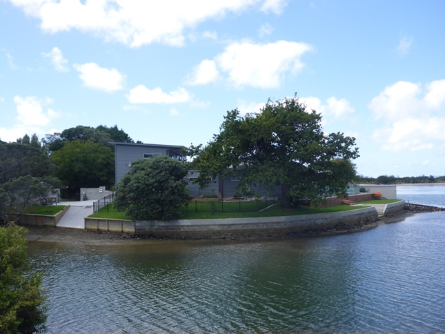
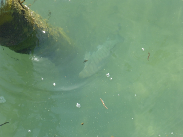
Having had the kind offer of a ride into Whangarei with Hugh and Ros in the afternoon, we were under no pressure for time at all today. We had planned to watch the Aussie ladies tackle the estuary crossing but, in the end, with tides rising (very early low tide), Hugh drove them around to the other side to start their journey south. We very much enjoyed crossing paths with the ladies and listening to their stories of hiking in different parts of the world. Hope the rest of your trip goes well Kay, Margaret and Jane - maybe we'll see you back in NZ again sometime in the future :-). We had a very leisurely wander around the grounds and down the short road (to find the gap in the mangroves we had missed last night!!). It really is a lovely spot for relaxing. Hugh suggested we take one of the double kayaks down the estuary so later in the morning we set off (with a near full tide) and paddled out through the mangroves and back down the estuary where we had come from yesterday. Ended up going almost 2km back to the reserve where we started our estuary walk. Hugh had mentioned stingrays being seen nearer the mangroves and, sure enough, we were lucky enough to see a couple - although no photos as they move off really quickly once they think you are stalking them!! We paddled up to the orange TA marker that marks the crossing point - which was, of course, high and dry when we walked past it last evening. Coming back we also saw, as clear as day, the opening in the mangroves that we had missed last night - it beggars belief that we missed it, but things are always different when you are tired at the end of a long, hot days walking!! At least that's what we told ourselves anyway :-) We left Tidesong about 1530, with Hugh taking us on a bit of a "tiki tour" on the way in to check out a few local features! They then dropped us off at the campsite and headed off to Kai Iwi Lakes. We are coming back to stay with Hugh and Ros, when we have finished our brief sojourn at home, to finish off the two days walking round to the end of the Whangarei Heads - looking forward to catching up again. Had a pleasant little cabin for the night and the location of the campsite not far off SH1 meant it was easy enough for Andrew and Ria to drop by and pick us up the next morning for the trip to Auckland airport and on to Wellington.
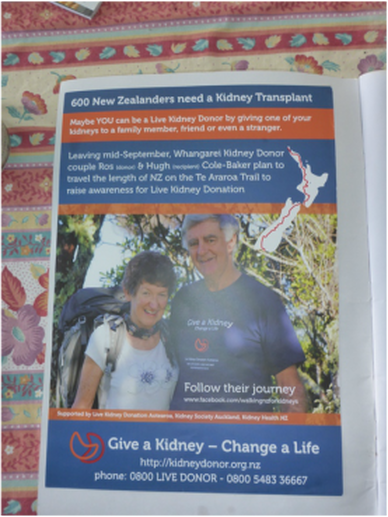
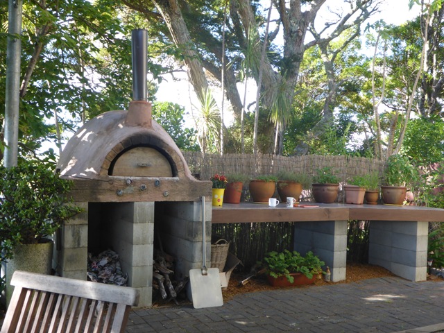
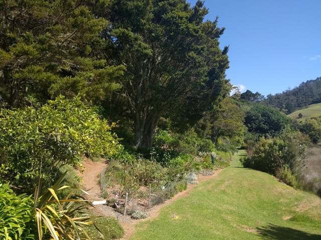
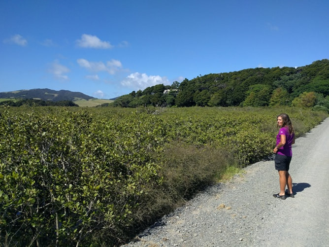
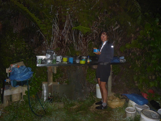
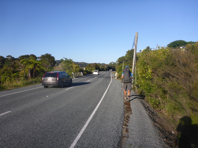
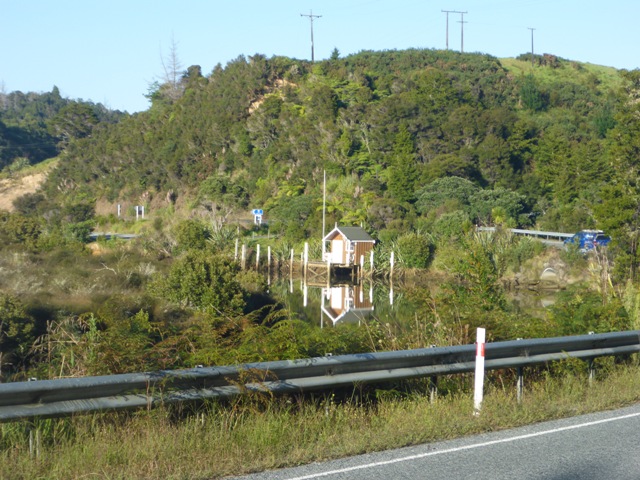
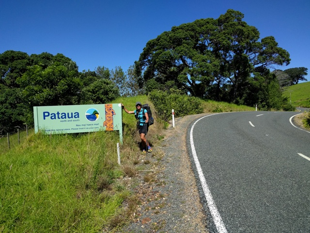
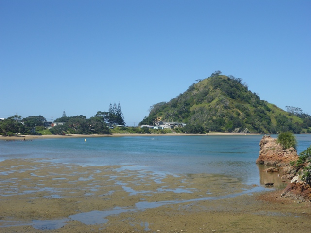
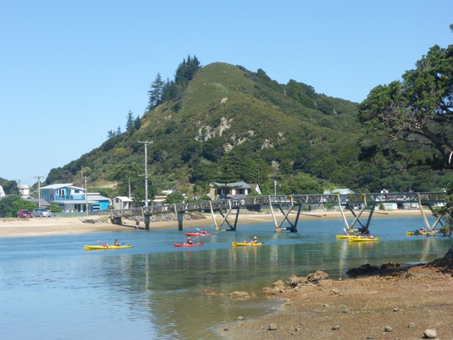
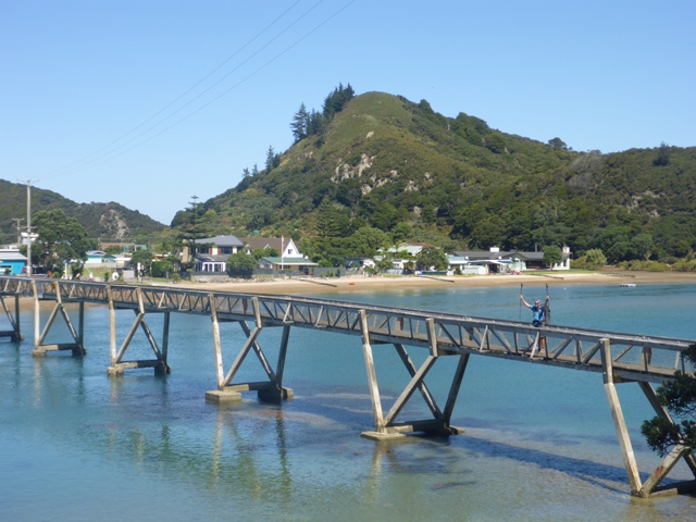
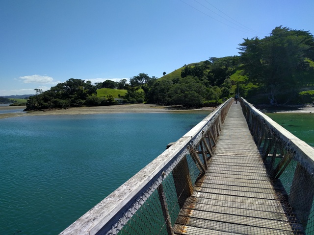
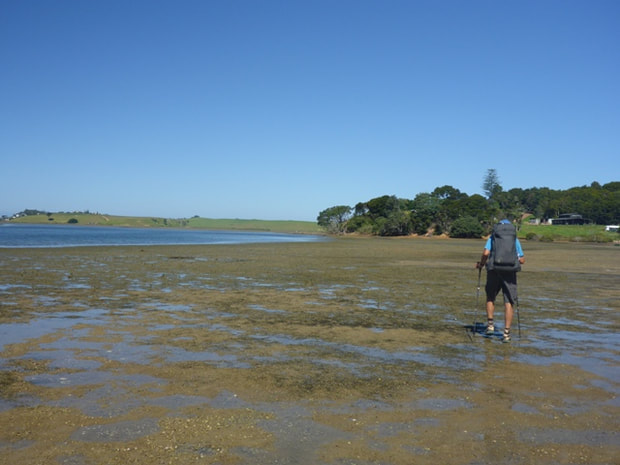
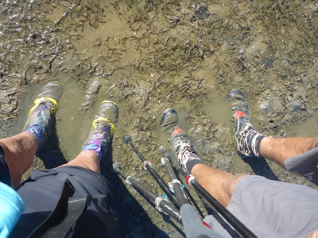
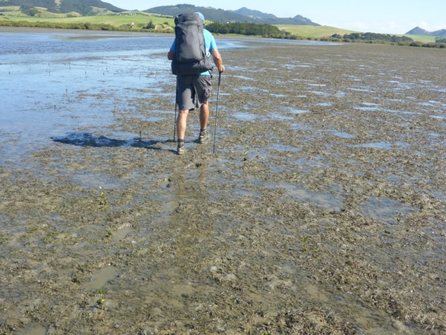
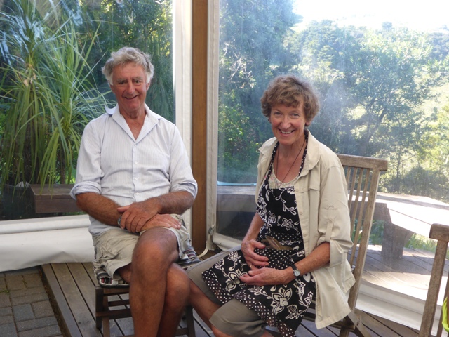
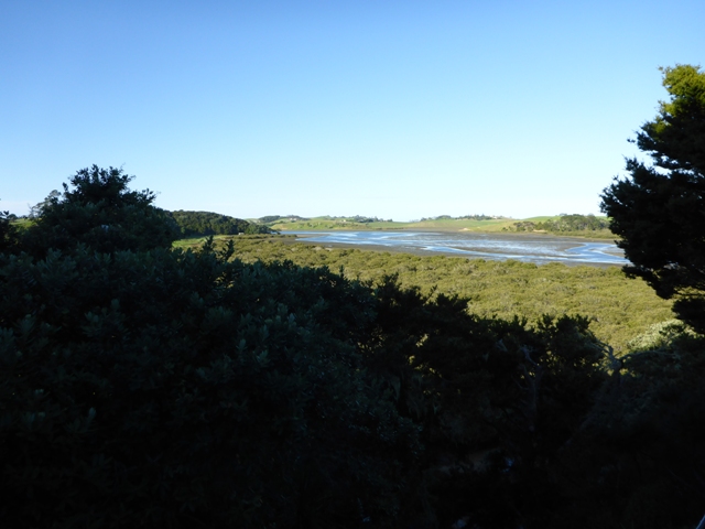
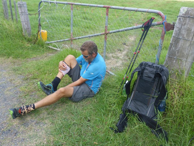
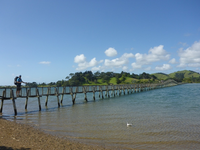
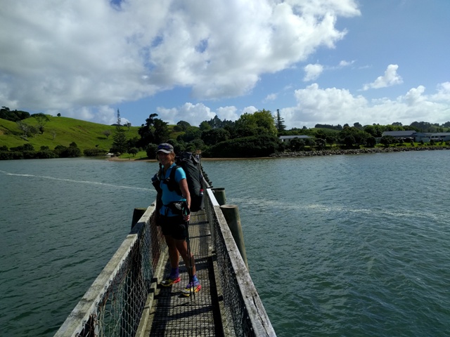
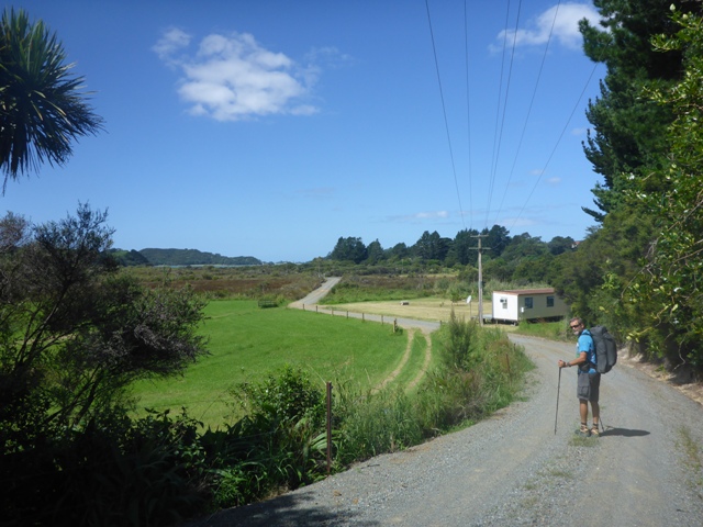
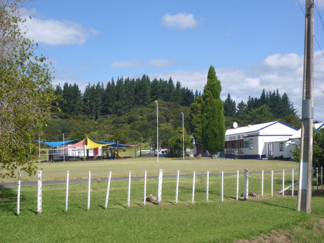
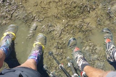
We kicked off about 0730 as we had around 35km to do. The days gps track is here. Of the 34.6km we ended up doing, 26km was on asphalt road, 2 km on gravel road, 4km through forest tracks and 2km up the estuary in muddy sand and mud!! We had to head inland for about 10km around the top of the estuary as there is no bridge across it - then it was another 14km or so generally eastward back toward the coast before heading south-ish towards Pataua. We did around 13km of road walking before coming to the privately owned Mackerel Forest Track. This was much more "up and down" but was on reasonable forestry tracks so footing wasn't an issue. We knew there were a couple of creek crossings in this part so we had filled up with only our normal amount of water (2L for me and 1.5L for Belinda. It was another hot, humid day (over 30 degrees) so even B was sweating - and it was really pouring off me! The compounding effect of heat radiating from the asphalt makes it feel even hotter as the day goes on. At one of the river crossings we again crossed paths with our Aussie friends, who had stayed at a different place to us last night and were hitching as much of the roads as possible (but were also planning to stay at Tidesong tonight). We charged through the forestry block and arrived at Pataua North Rd for another 13km of asphalt to get us to Pataua North. The very first car that came past as we exited the forest kindly stopped and offered us a ride which we politely declined :-(. This is a windy rural road that is essentially a dead end as you cannot go anywhere from Pataua North (only a footbridge across the estuary to Pataua South) - and does not carry much traffic. So we were a little owrried that the Aussies might find it hard to get a ride. However, we stopped for lunch about 3.5km down the road and, sure enough, saw them all riding past in a car - although they didn't see us as we were in the shade on the other side of the road!! So we set off for the trudge into Pataua North. Around smoko time I had to stop again as my insoles were again playing up in my right shoe. A tractor went past us and then backed back up to us to ask if we wanted to hop on the back (on his tine cultivator) and ride into Pataua North. Again we had to politely decline :-(. I doubt very much whether there is ever any traffic enforcement down the end of this road!! Eventually arrived into Pataua North - lots of activity on the water there as it appears there was a school camp in operation. Lovely relatively quiet spot. Then it was across the longish Pataua River footbridge to Pataua South. From there it was about 2km on asphalt and metal roads to a reserve alongside the Taiharuru River estuary - where we headed out onto the sand/mud flats for a 2km walk up to Tidesong. The B&B is right near the point at which we have to cross the Taiharuru River to head south towards Ocean Beach and the Whangarei Heads. Even at the start it was quite muddy (although shallow mud and was definitely a wet-feet walk whatever we did. As we got near Tidesong we were supposed to look for a gap in the mangroves and head up onto a road for a hort walk to the B&B. As a backstop, we knew they had a jetty out through the mangroves. I found this bit a pretty hard slog and was getting a bit grumpy, trying to make sure I didn't end up flat on my bum in the mud. In any event, we somehow missed the gap in the mangroves and ended up walking up to the jetty - almost calf deep in mud!! The Aussies saw us coming from the B&B (higher up the point) and shouted encouragement (at least I like to think it was encouragement!!). Ros and Hugh Cole-Baker own Tidesong and Ros greeted us at the end of the jetty with a hose to clean ourselves off a bit. In doing this, Belinda leaned over and managed to drop the camera into the mud!! A quick scramble over the side of the jetty saw her knee deep in mud pulling the camera out. We gave it a low pressure wash to clean off the mud - am I glad I decided to go with a rugged camera (waterproof, shockproof, freezeproof)!! Its supposed to be able to take pics up to 15m underwater and it certainly doesn't seem to have suffered any ill effects from an unexpected mud-bath. We then headed up one of the many paths to the house where Ros had a cup of tea and some cake waiting for us :-). Ros and Hugh are superb hosts - absolutely lovely people with a beautiful spot - having been there around 20 years after selling up the farm. The gardens are great, with paths everywhere as well as a boardwalk network through the mangroves at the waters edge. Ros has walked and cycled Te Araroa herself in support of the Kidney Society (Northland Age story here), so they really have a feel for what TA hikers are about. The Aussies were in one of the cabins and B and I had a room upstairs with two beds in it. They also have a lovely B&B attached to the house as additional accommodation. They are also happy to let TA campers pitch a tent at no charge. We had planned to hitch into Whangarei tomorrow and stay the night there, as Andrew and Ria are picking us up on Saturday morning so that we can all head back for Jean's (B and Ria's mum) 88th b'day. B also has some qigong seminars to attend, so we will be at home for about 10 days before heading back up to Tidesong to finish off the walk to the end of Whangarei Heads. In any event, Hugh said he and Ros were heading over to Kai Iwi Lakes tomorrow afternoon and kindly offered to drop us off in Whangarei. We were in no hurry so gratefully accepted.
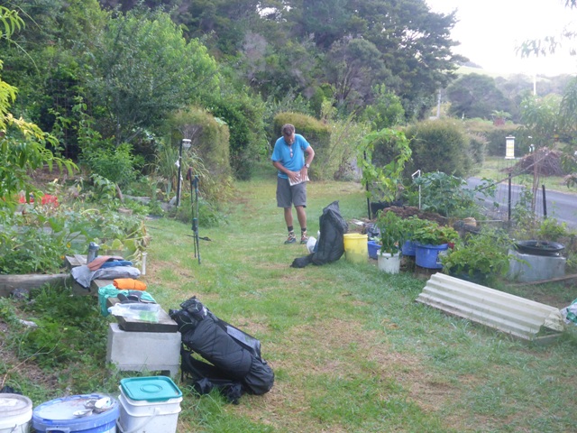
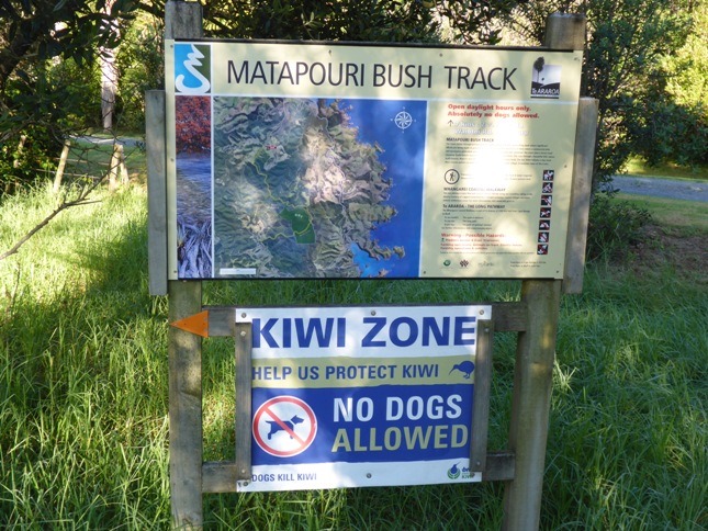
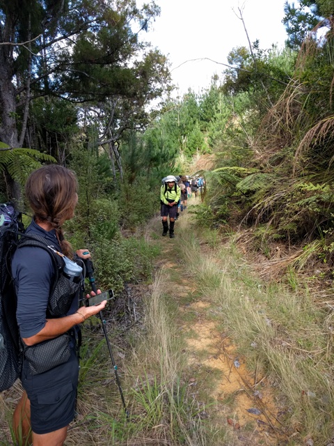
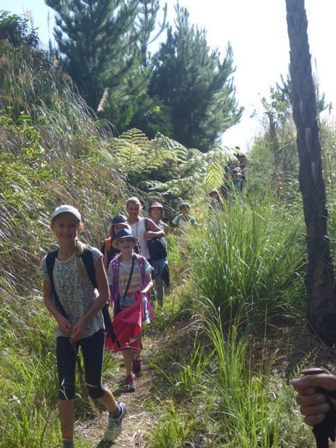
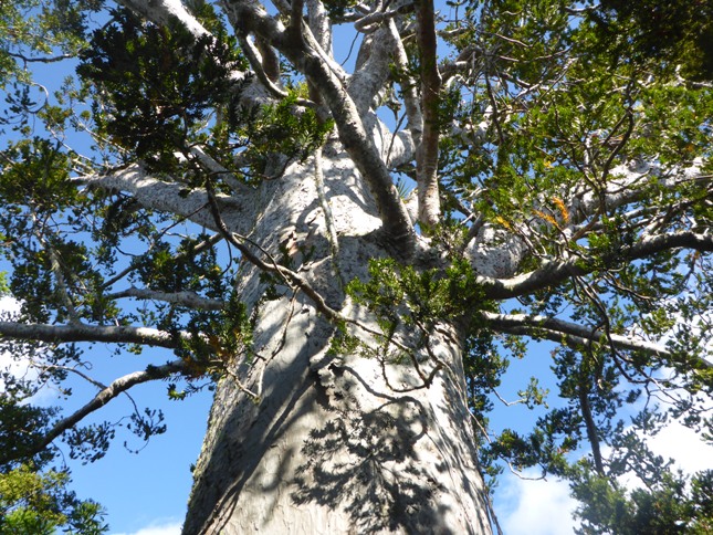
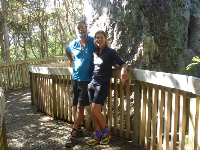
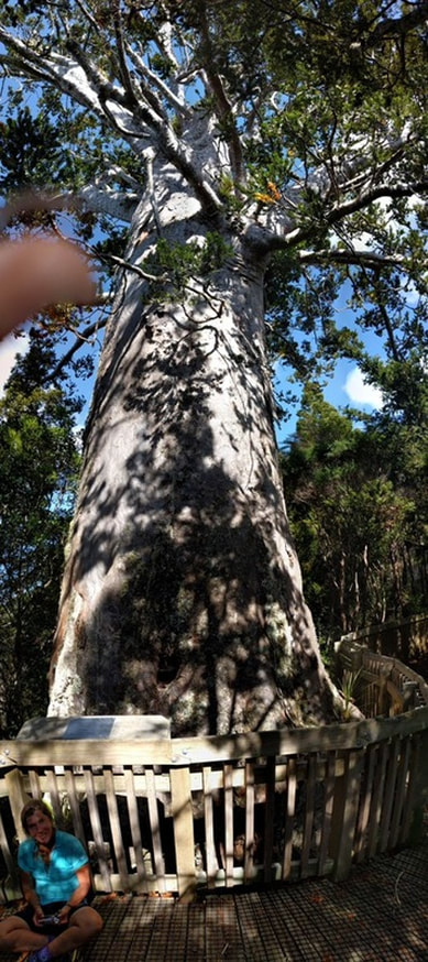
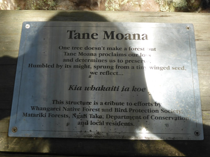
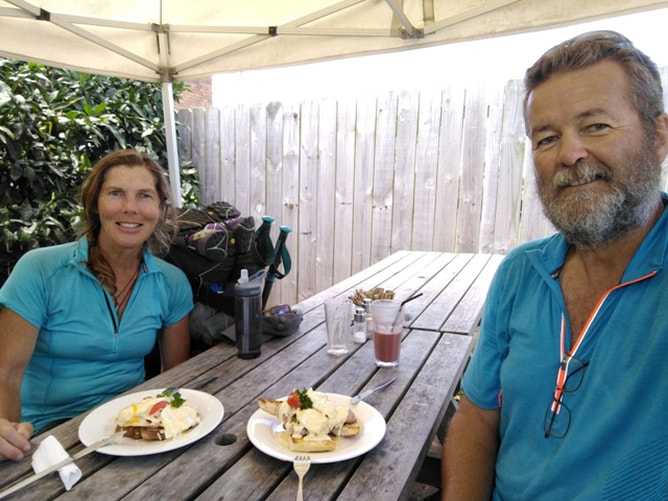
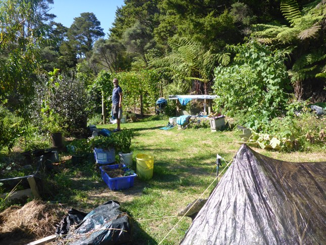
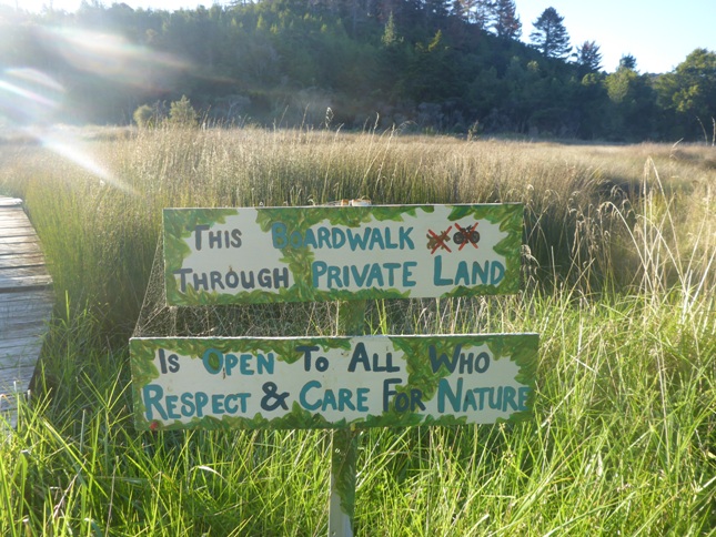
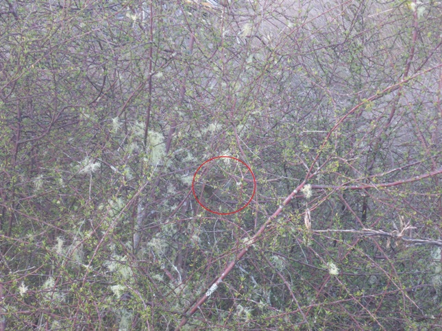
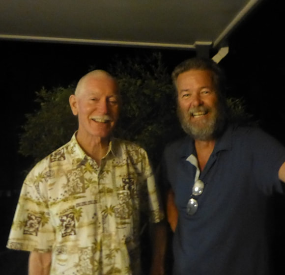
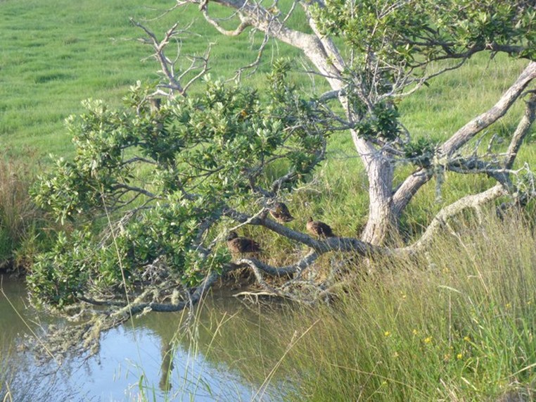
We got away at 0800 and ended up at our destination at around 1430 - so a very relaxing day again (as planned!!). Even though the gps track (here) shows 11.5km, we actually did closer to 15km (one technical glitch and one of me forgetting to restart the watch after a break!!). We were quickly into the Matapouri Bush Track which was mainly nice grass and clay track walking through pasture, regenerating bush and also partly through newly harvested mixed pine/eucalypt forestry. In the middle of this, the track went through a bit of DoC reserve. Included in this reserve is Tane Moana - a very large kauri tree. While not as large as Tane Mahuta, it is certainly still an impressive specimen. We crossed paths with the Aussies here again as we all had a break to look and have some smoko. The next few kms was again a mix of bush and forestry with a little pasture, before joining a road for the 3km walk into Ngunguru. Arriving in Ngunguru, I did a quick Google and found they had a cafe. We decided to stop at the Salt Air Cafe for some nice lunch instead of our usual fare!! We both ended up with Eggs Florentine with bacon and, boy, was it delicious!! You seriously never know quite what to expect in different cafes but this was top notch. B's gluten-free bread was baked on the premises and was fantastic. So, if anyone is in Ngunguru, don't hesitate to drop by the Salt Air Cafe and give it a try! That took some time as we were not in any kind of hurry today. Then it was back on the road to cover the 2.5km or so to Riverbank Homestay (website or TripAdvisor), just outside Ngunguru. This is owned by Hilton and Melva Ward who are very active in the TA community and maintain parts of the local TA track. They offer a tent site in their garden for TA walkers for koha and a large number of hikers have camped there overnight this past season (we are obviously at the tail end for this season!). Melva was away but Hilton got us set up - we had a shower under the garden hose (hot day so rather refreshing) and, after setting up the tent, eventually joined Hilton on their deck. We nibbled our small dinner (as we had had a lovely cafe lunch!!), with some home-made ginger beer, and then went for a walk through Hilton and Melva's wetland area around 1900 to see if we could spot some fernbirds which, thanks to Hilton's advice, we did manage. They have developed a boardwalk through the wetland and allow the public to use it - it also allows people to access an adjacent DoC reserve. They have spent a number of years sailing the wider Pacific so there were lots of interesting photos and fascinating stories!! If you ever want anywhere to stay in this area I would thoroughly recommend stopping here - see the links above to see how good others think these guys are!! We weren't sure quite how far we might get tomorrow but, after discussion with Hilton, he said we would have no trouble getting to Pataua and on to Tidesong B&B if we wanted to (35km or so), as the walk was mostly road and with not too much up and down. So we settled on that plan and headed off to bed in the tent around 2100 to psych ourselves up for a lot of asphalt road walking tomorrow :-).
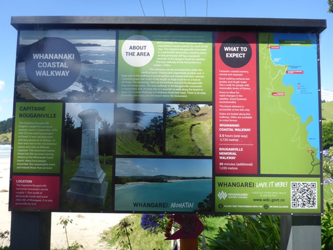
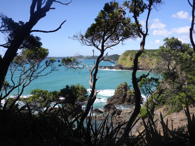
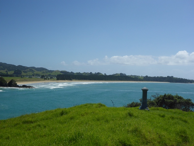
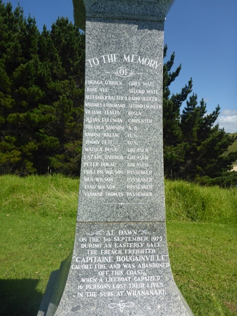
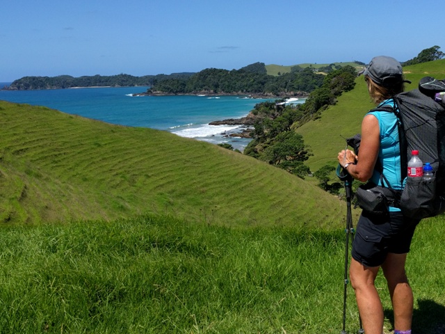
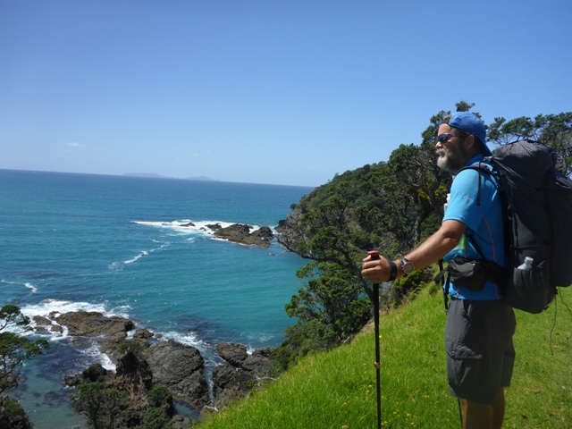
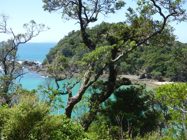
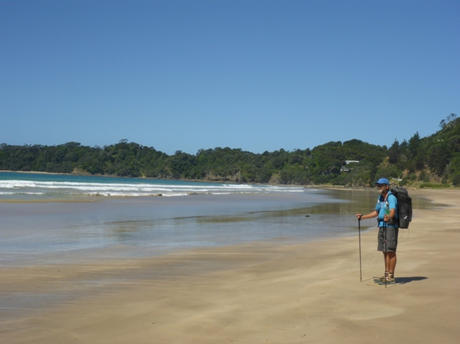
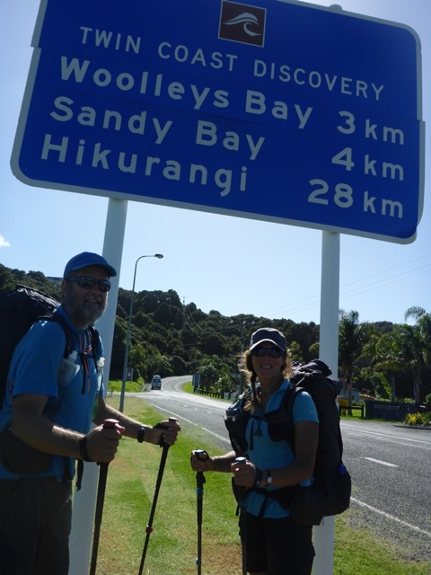
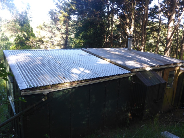
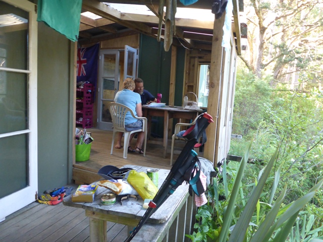
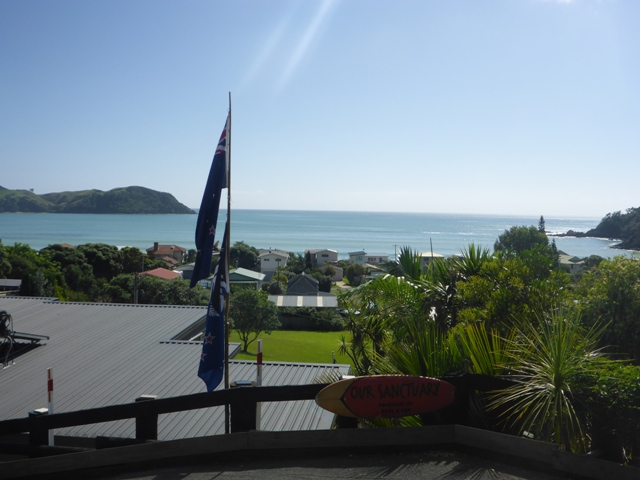
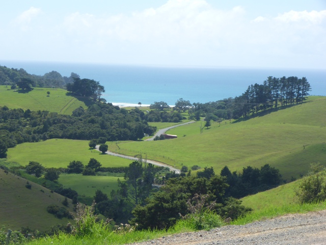
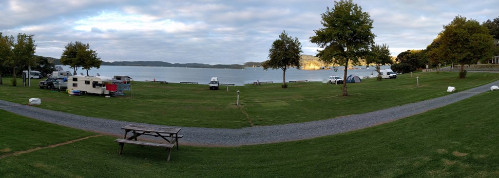
As noted in yesterday's post, last night we bumped into our Australian ladies again. We had a chat with them about the next day and Kay organised to book Tui Cabin, just out of Matapouri Bay for all five of us. This meant we had a pretty relaxing day planned for today. We ended up doing only 15km, leaving camp finally at around 1040 and arriving at Tui Cabin about 1700. Today's gps track is here. We ended up having a long chat before we left with the farmer who owned about 1100 acres in the area, including owning the campsite. It was also his wetland that we walked through the last couple of kms last night. He gave us some fascinating insights into the changes in the local district over time. Like many areas, it is getting busier and busier with more and more development planned. Not such a sleepy hollow nowadays. We set off across the Whananaki footbridge to start the day. Much of the day was close to the coast, although there was only a short stretch of Woolleys Bay where we actually got to walk on the beach itself. It was a mixture of road and grassy farm tracks mainly, with no real steep stuff to contend with. After about 4km there was an option to take a side trip to see the Capitaine Bougainville Memorial on the headland at the north end of Oruaea Bay. The cargo ship ran into trouble in 1975 and 16 people died when a lifeboat overturned. B decided to do a quick 30 minute return trip without the pack - I sat and caught up on the news of the world!! While we didn't get down onto many beaches, the bays and beaches were indeed stunning. It's not a part of the country either of us have ever been to before so it was great to be able to see it from the perspective of walking above much of the coastline. A little more road walking was followed by a short walk through a reserve down into Matapouri Bay settlement. We found the local shop and stocked up on a couple of things, bought some drinks and some delicious hot chips (food for the hiker's soul!!). Then it was on the road heading south for just another couple of kms to get to Tui Cabin - about 500m off the TA track. Two of the Australian ladies (Kay and Margaret) were there already. They are hitching bits of the road walking, which makes all the sense in the world given their limited time in the country. It was a delightful rustic cabin in the bush with no electricity - but with warm water from a califont for a shower and a double bed for B and me. We had a very pleasant evening catching up with the Aussies - they are all very experienced walkers, having been in lots of parts of the world!! Margaret has been to NZ many times and tramped significant bits of the South Island in particular over the years. Inspires you to want to keep at it!! Kay even suggested we should join a group she was organising for a few weeks hiking in southern Africa in 2017!!
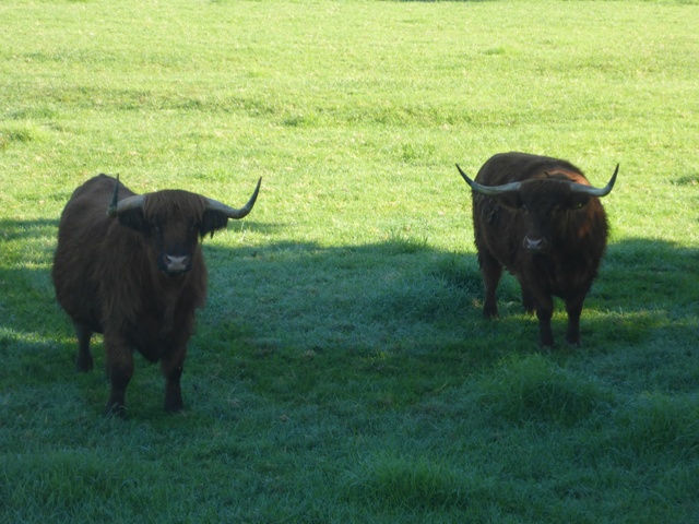
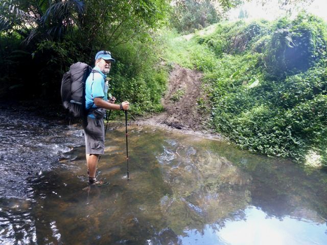
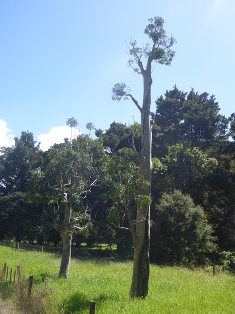
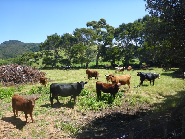
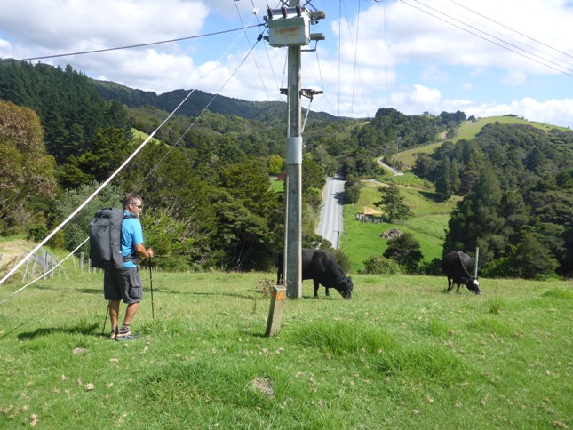
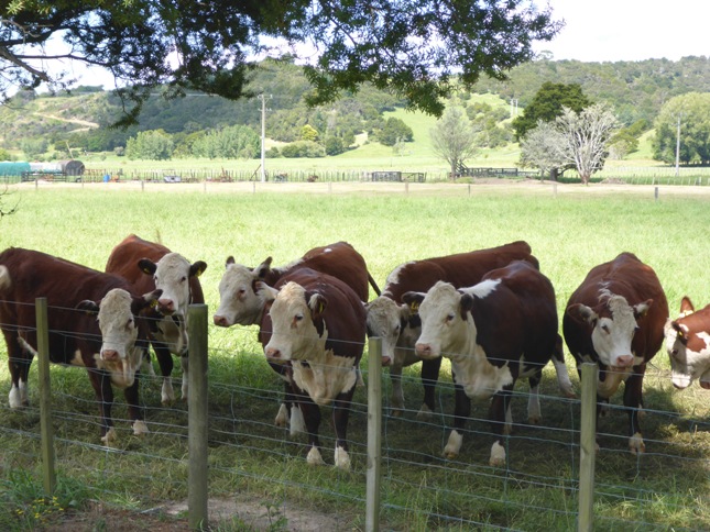
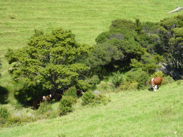
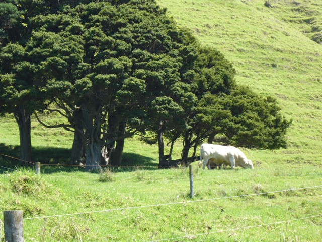
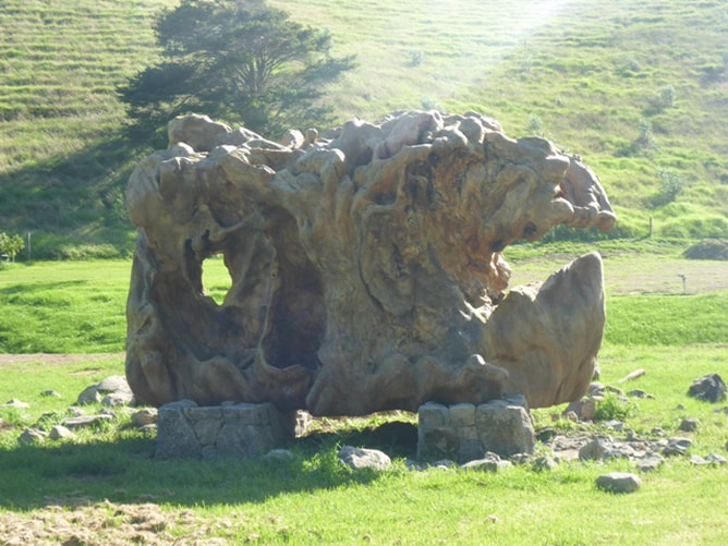
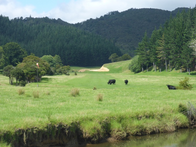
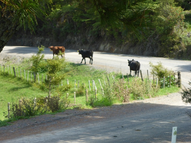
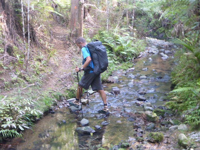
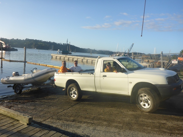
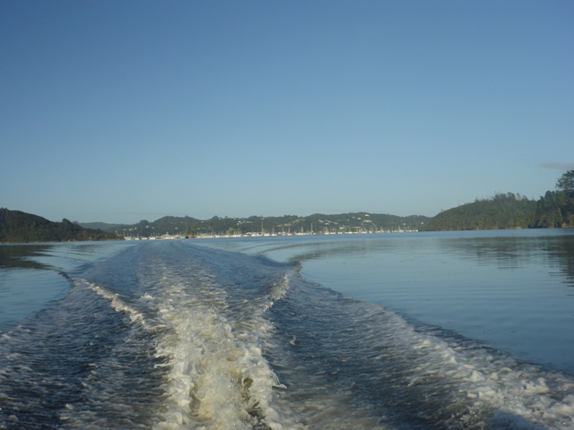
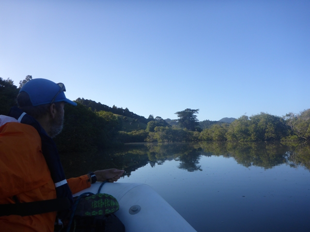
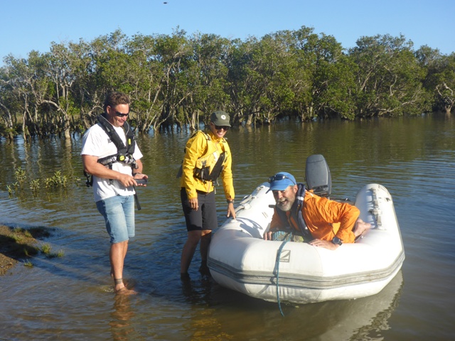
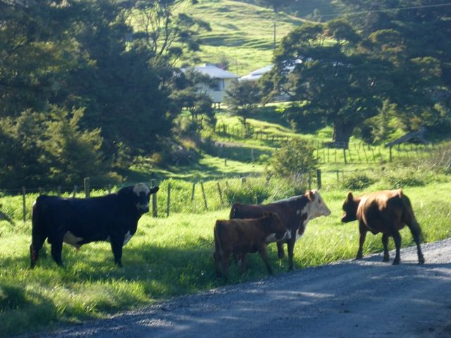
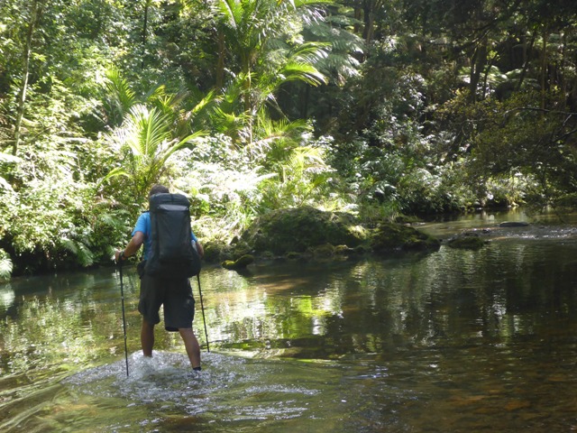
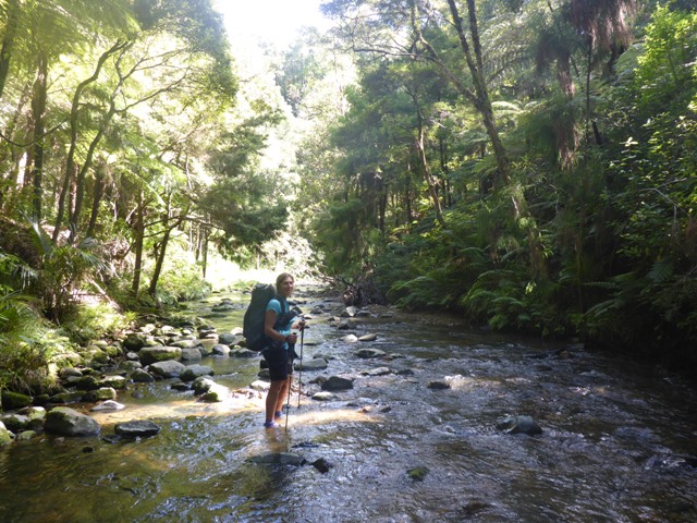
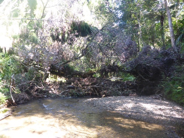
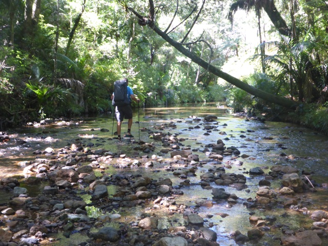
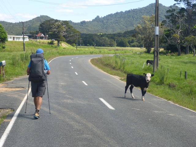
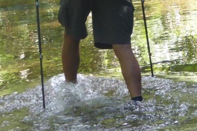
Then it was another 6km of asphalt road walking to get to the turnoff to Helena Bay. Here is where we made our error!! We got distracted by a nice shady spot to stop for smoko, along with a big sign that said "Cafe 5kms". In doing so we walked right past the intersection to Helena Bay, despite the presence of some TA signs adn it being clearly stated in the notes!! The upshot was that we walked 1.5km further up Russell Rd before a nice farmer lady came running up the road after us asking us if we were doing the TA. Our cheerful response of "yes indeed" was met with a "do you realise you have missed the turnoff to Helena Bay and are on the wrong road?"!! Very deflating!!! Anyway, after briefly clipping ourselves around the ear (metaphorically at least) we sucked it up and headed back. I don't know how many times we have told ourselves that assumption is the mother of all "muck-ups" and that we must take the time to check every junction - but still complacency rears its ugly head. Another lesson learnt :-) On the road to Helena Bay we noticed a lot of development activity at what looked like the entrance to possibly a new subdivision (flash stone bridge, security gates etc). We saw someone weedeating around olive trees and Belinda commented at the time that "someone had more money than they knew what to do with"! It turns out that we had stumbled on the entrance to Russian billionaire Alexander Abramov's $50M mansion (NZHerald story here). Even the large kauri stump on display at the entrance (see photo below) is spotlit at night! After Helena Bay it was another 8km of asphalt and then gravel road walking. Mostly this day was back off the coast, but it is still interesting walking through the countryside and checking out aspects of the small communities that you pass through. As we have said before, our journey is as much about people and places as it is about wilderness - I think those that tell foreigners with limited time to do only the South Island are perhaps doing the North Island an injustice. But then again, I guess some people come for the :wilderness" experience, and there are less roads and people on the TA route in the South Island - each to their own :-) We stopped for lunch on the gravel part of this section (Webb Road) before entering the Morepork-Onekainga Track section. We had a chat with a lady who stopped, followed 10 minutes later by a chat with her husband, who was walking up the road behind her. Turns out they were also (like Don and Lorraine who took us in at Mangawhai) off to do the Hump Ridge Track in Southland shortly. The husband had obviously done a lot of walking in the hills in this area and was telling us about all the tracks, the old logging sites, a number of old kauri dams etc in the surrounding hills. This turned out to be even more interesting info as we later found out from Hilton Ward (where we stayed in Ngunguru) that it is hoped that the first part of today's track will change completely next year to take it through those same hills rather than the roads that we had done today (we might be some of the last to walk this section!!) We then headed off into DoC's Morepork Track - this was nice bush walking on well-formed and graded "roads" so was very easy going. Even up and down, we covered 4.5km in the first hour. I confidently said to Belinda that we should be in Whananaki in no time at all at this rate - with another 9km to go. Pride, of course, comes before a fall. The Onekainga Track that the Morepork Track led into was nothing like the first bit. We were back into genuine tramping track areas with steep up and downs through lovely bush. I am told I go on a bit about the "up and down" but, nevertheless, I think Belinda even agreed that, at the end of a long day, it was cruel to take us up to 240m asl, then make us go down to 60m asl, before taking us back up to 240m asl again!! There was a fair bit of sweat lost, and great relief when we got back up to the trig at about 245m for the final push, mostly down, through bush and then farmland onto Whananaki North Rd!! Then the final couple of kms took us through private farmland on a wetland walk around to the beach in front of the campsite. A lovely TA-friendly campsite, some food and some warm showers helped a rejuvenation after the long day. As we were arriving at the office we coincidentally ran into Whin and Whiona (Fiona Burleigh and Anthony Behrens) whose blog of their South Island walk, NOBO, we had read as part of our preparation. They were heading north with their son who was mountain biking the length of the country as part of a group. It is a very small world in the TA community it seems. We enjoyed some of Fiona's watermelon as a treat for dessert - fresh fruit of any description is something that you sorely miss while walking!! Always great to talk with others about their TA experiences. We also ran into our Aussie trio again at the camp (see tomorrow's blog). Last evening we all shot down the road to Chris and Manuela's to grab the little boat (thanks again guys!) for an early-ish start this morning (Sunday). High tide was 0730 and after a short false start I think we launched from the Opua boat ramp and headed off up the Waikare around 0830. As well as the 12km or so up the Waikare (gps track here), we did another 22km of the TA today (gps track here), as well as an additional 3km to get to the Whangaruru Campground. We had a very pleasant trip up to the very head of the Waikare Inlet. Neither Andrew nor Ria had been right up to the top of the inlet before, so it was a new experience for all. The gps, with the Viewranger app, on the phone proved useful as it was a bit of a guess as to which path to take through the mangroves at the very end of the trip otherwise!! Thanks to Andrew and Ria for getting up early on a Sunday morning to pilot us!! We were dropped off at the little boat ramp and Andrew and Ria headed back for a days sailing while we organised ourselves to head off up roads, streams and bush tracks, over to Russell Road on the east coast. We very quickly came across several cattle on the first bit of gravel road - including 3 or four bulls - which were a bit skittish to say the least. Even with our best farming/animal skills we couldn't get around all of them with two of them launching themselves at a "sort-of" fence and charging back into a paddock!! There were a few good fences but mostly they varied from very dodgy to non-existent! The road turned into a track briefly and at the end of this we got a little lost and had to do a short bit of bush-bashing for 10 minutes or so to get down to the stream-bed, as we knew we had a 4km "wet-feet" walk up the Papakauri Stream. Most of the 4km was in the water although there were occasional gravel/boulder banks to walk on (and have smoko on!) and we were generally able to mostly stick to gravelly footing which was easier than the occasional boulder patches, or the softer sandy patches. We also managed to avoid going through anything much above (my) knee height by careful route selection. It really was the most beautiful walk through the bush-lined stream - one of our favourite bits to date maybe - not sure that the photos will do it justice! After the 4km up the Papakauri Stream, we hung a left onto the Russell Forest Track, mostly on a well-graded old forestry track, so the going was not too bad. Nice regenerating bush but, again, not many birds to be seen/heard - perhaps they were drowned out by the constant chirping of the cicadas, which was ever-present! We eventually made it over onto Russell Road (asphalt) and headed south. We decided that we would probably stop for the night at Oakura (Whangaruru Harbour). So we headed off-trail for 1.5km to find that the campsite mentioned in Oakura didn't exist anymore and that the other one in Whangaruru South was another 1.5km on. At this stage we stuck the thumb out and a a nice young chap in his BMW stopped and took us up and over a hill to the campsite!! A lovely spot to spend the night - with the cost of tent sites per person, we splashed out another $20 or so and got a cabin instead. We also met 3 Australian ladies of similar vintage to us (and older in one case) who were hiking parts of Te Araroa over a period of a few weeks. Turns out they are all experienced walkers/trampers - but more on them later, as we ended up crossing paths over the next few days!!
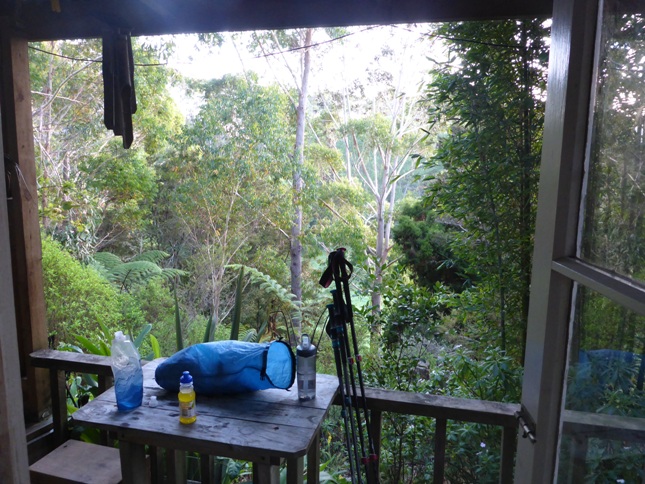
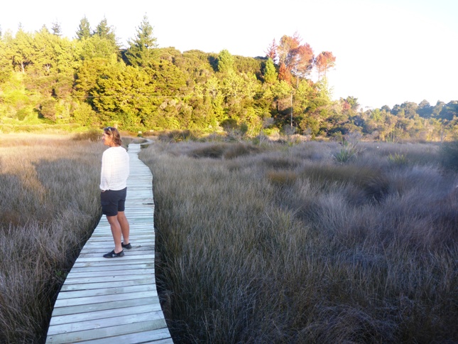
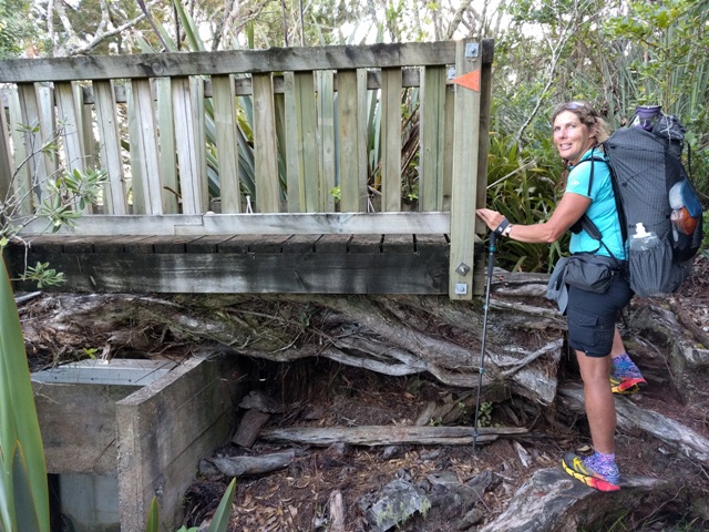
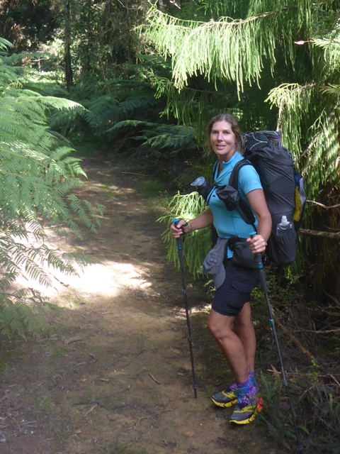
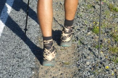
Walking Te Araroa is an extraordinary experience. So much of it is about 'one step, and then another step' but oh my goodness, how different each one of those steps can be. Over time you start to become very aware of the feed back you are receiving through each foot fall. This really helps you to adjust your way of going accordingly, so that you may continue your journey safely and in good shape. Anthony and I have worked with quite a few styles and rhythms to help us through our days. Some of these have come through comments or suggestions from our good friends. Barb passed on to me something she had been told that when the body is feeling a little compromised, or is struggling, shorten your stride. This has worked a treat, especially when first starting out or after a break. Then from Jo, the softening of the knees in a semi crouch. This is great for the steeper, gravelly forestry roads. When we beach walk, we often like to stride out but then walking backwards for a change is fun and eases the repetition. I learned that at times when the uphill is hard going and you are digging in with your poles and working the body hard, just think 'soften'. Soften the impact you place on the earth through your poles and your feet, try to relax. This seems to make a big difference to how you feel about the uphill and the fatigue factor. The earth upon which our feet are being placed varies considerably. Here are some examples that I can recall; hard sand, soft sand, loose deep sand, tarmac, asphalt, loose small stone gravel, loose large stone gravel, concrete, grasses - so many varieties, lumpy top soil, clay (firm, slippery, gluggy), pine needles, native forest litter, moss, twigs, roots (large and small) wooden board walks, iron grating, rocks, boulders, riverbeds, gluggly muddy mangrove flats and adding water on top of some of these surfaces adds a whole new dimension. As mentioned, the feed back we get through the soles of our feet gives us an opportunity to adjust our way of going if need be. After a while the adjustments start to happen naturally and your feet and body start to connect more clearly and fluidly with the ground, whatever the surface may be. 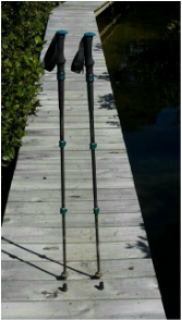 My Black Diamond walking poles on Hugh and Ros' Tidesong board walk. My Black Diamond walking poles on Hugh and Ros' Tidesong board walk. Assisting our whole way of going with each foot fall is very often a walkers pole. I cannot imagine doing all that we do on TA without our poles, some walkers do however, and others walk with just one long pole. Not only do our poles help us with our walking but they hold up our tent at night:). Our dear friend Sue very kindly gave us rubber stoppers to wedge over the tungsten tip ends of the poles so that when walking on the roads or concrete paths, we were weren't traveling with clack, clack, clack. Really helpful, thanks Sue. So for this blog entry, my MPUaIG (most practical, useful and important gear) award, goes to....... di da..... my walking poles! :) B Because of the nasty rain from those fronts currently affecting NZ, we had decided to wait here until that abated before starting our next stint. We still have the section from Takahue Forest through to Kerikeri to do and, obviously, the Waikare Inlet through to Whangarei Heads section.
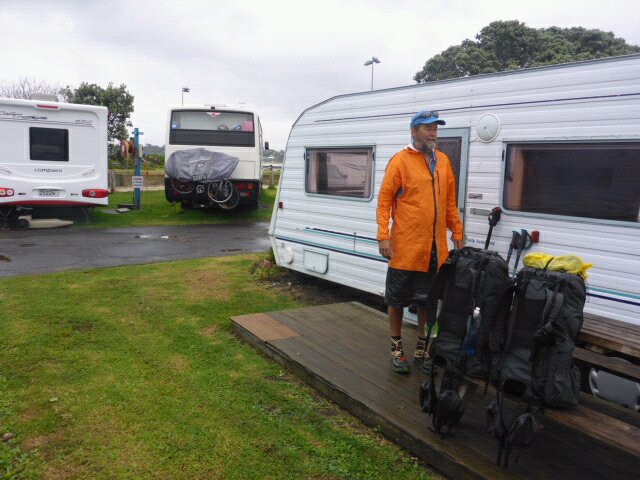
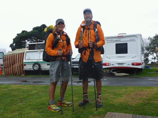
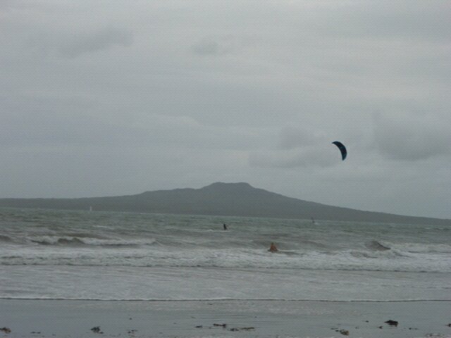
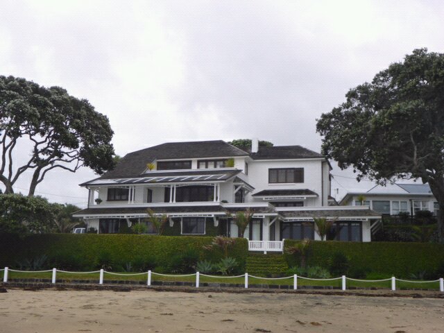
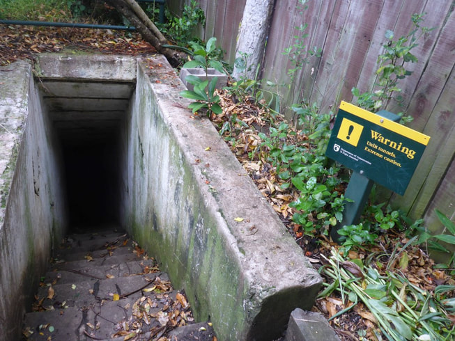
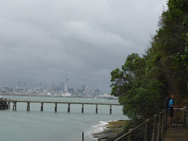
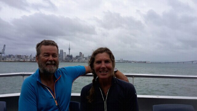
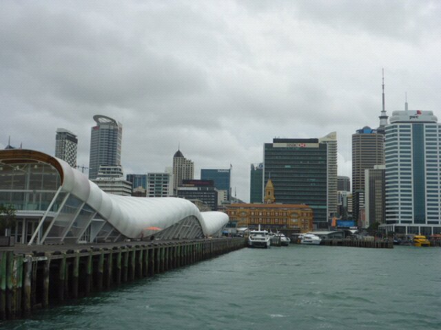
Because of the challenging nature of, in particular, the Raetea Forest after rain, we thought we would start heading south for now. Current planning is to get Andrew and Ria to take us up the Waikare on the early high tide on Sunday morning (0730). Again we would like to send a big thanks to Chris and Manuela who had already previously offered us their boat for Andrew to drive us up there (before we had the 3 month layoff!). We saw Chris and Manuela again last night at dinner at the OCC and they reiterated the very generous offer. So now all we need to do is make sure we restock food supplies and do a little planning for the next stage. We have to catch a flight from Auckland to Wgtn next Saturday - but Andrew and Ria are on the same flight so can pick us up, wherever we have got to, on the way past - how lucky are we!! We don't expect to make it all the way to Whangarei but it will be an interesting test to see where we do get to! We'll be at home on the Coast for maybe 10 days before heading back up here to hopefully complete the last bit to Whangarei, then the Takahue to Kerikeri section - then that will be the TA from Cape Reinga to Auckland Quay St completed. Not quite how we originally planned it but.... "the best laid plans of mice and men .......". Then we can hopefully focus on Auckland city southwards for as long as the weather and our bodies allow!!! We were ready to go by about 0820, with only a 10 km or so walk to Devenport, then ferry across to city planned. Today's gps track is here. The weather was overcast with possibility of a few showers so we started out with rainwear. We started with about 1.5 km on Takapuna Beach. Then it was up the steps into roads near the coast for about 4km until we got to Cheltenham Beach just at south end of Takapuna Head. We dropped back down onto Cheltenham Beach for a short while and then followed the track up and around North Head. Stopped as base of stairs for a chat with a group of mums taking their youngsters for a walk up around the Head. The Head was obviously fortified during the war, with gun placements, harbour boom operating mechanisms and associated walkways and tunnels. We walked mostly around a good walkway perched on the rock face above the beach. Eventually we came to an option for the final stretch where we could continue around rocks or head up through one of there old tunnels to a higher road, then back down to Devenport Beachfront. Tides made us choose the latter option. Quite quickly we were down on the waterfront with only a km or so to the ferry wharf. We could have made the 1045 get but decided to relax and get the 1115 as it still gave us plenty of time. We killed a little time by heading up Queen St and looking for a few things in outdoor shops. Finally to our favourite Bivouac Outdoor where we got a small replacement drink bottle for B and a new waterproof enclosure for my phone - one of them having mysteriously disappeared during our three month layover at home!
Then it was a quick wander to Sky City terminal where the Intercity bus left from. An uneventful trip up, with the bus dropping us off at Opua Hill about 1730 - so only a km or so up the road to Ria and Andrews house - and it wasn't even raining! Quick freshen up and we headed with Phoenix down to the Opua Cruising Club for dinner. |
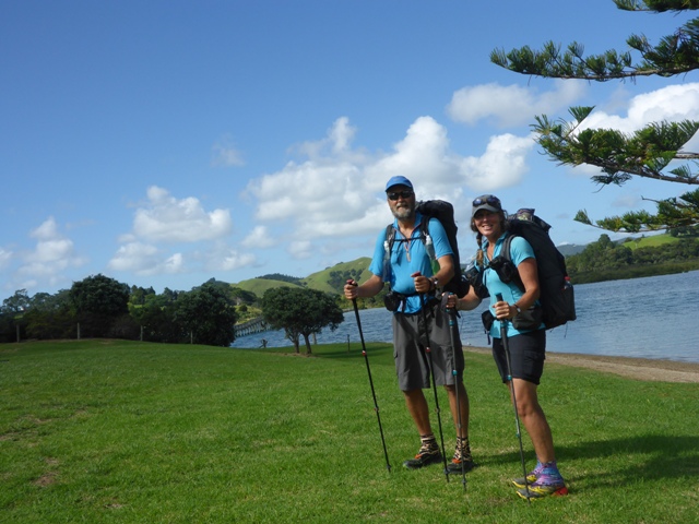
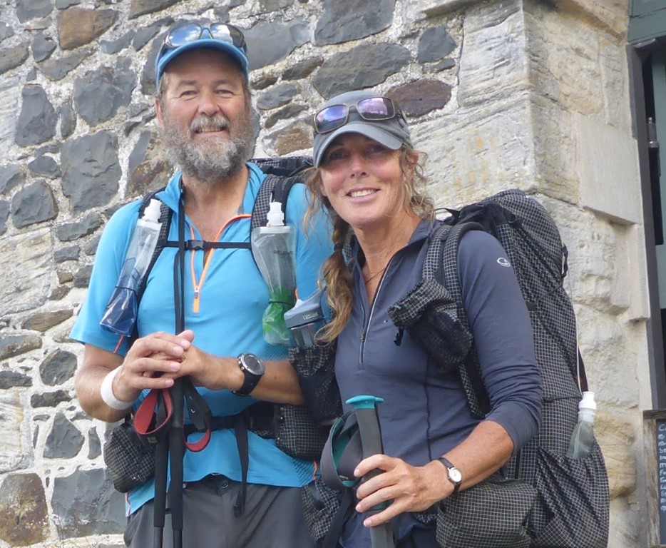
AuthorBelinda and Anthony (aka Tony) Hadfield made a decision, in their late 50's, to do something a "bit different" and walk New Zealand's 3000km Te Araroa Trail over summer 2015/16 - although updates will now tell you that this plan will take longer now!!. As the old saying goes - "don't leave home 'til you've seen the country"!! Archives
January 2018
Categories |

 RSS Feed