|
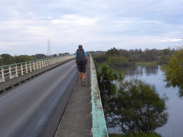
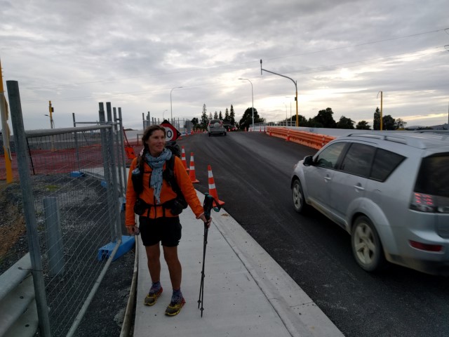
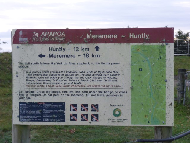
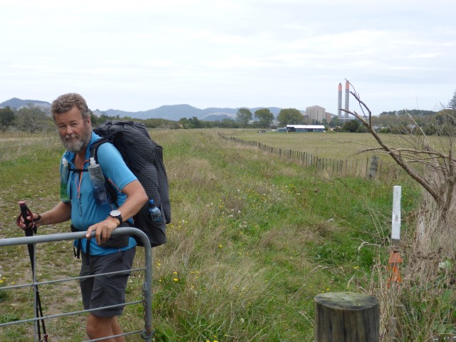
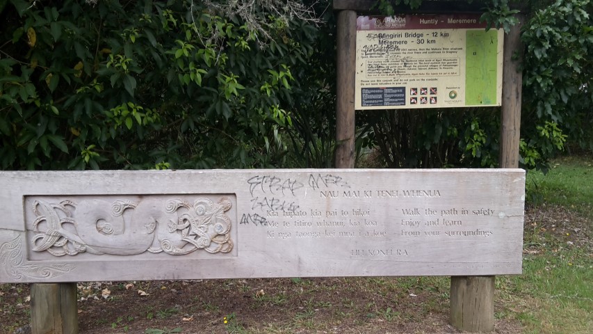
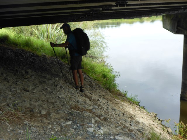
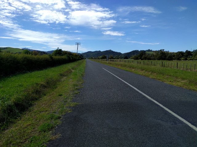
We left the hotel at around 0745 this morning - again, today was a relatively easy day with relatively flat walking (if you check the gps track in Movescount - link below - you will see that we ascended a total of 18m and descended 19m during the whole day!! Can't get much flatter than that!!!). We ended up doing around 21km today, although only 17km of that was on TA - the rest was detour for resupply and to the campground. GPS track is here. We started off by reversing last night's dash across SH1 and getting back into the roadworks!! Then it was across the single lane Rangiriri Bridge onto the western side of the river (SH1 continues down the eastern side).
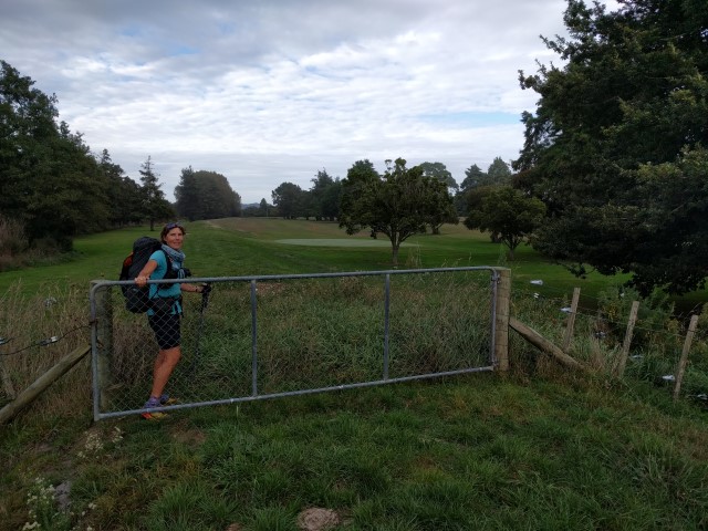
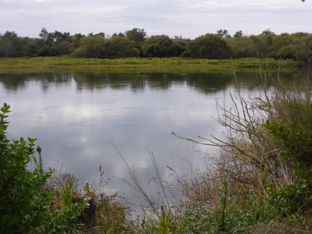
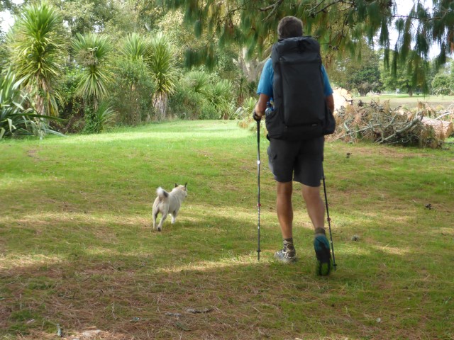
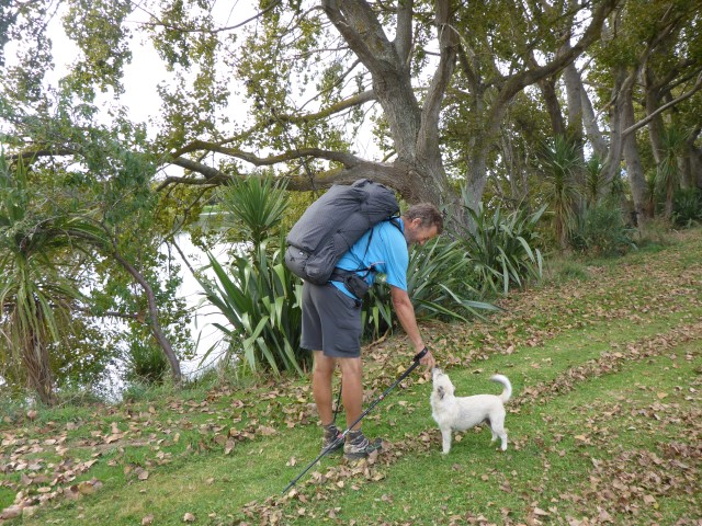
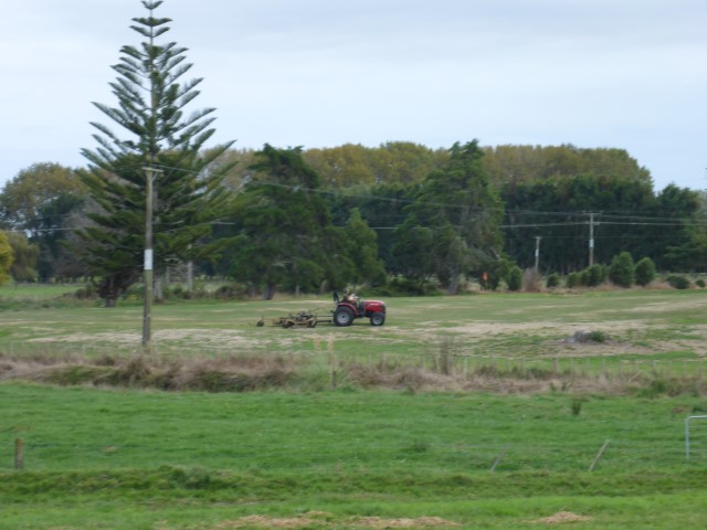
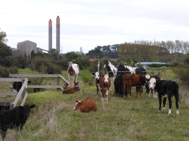
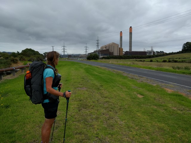
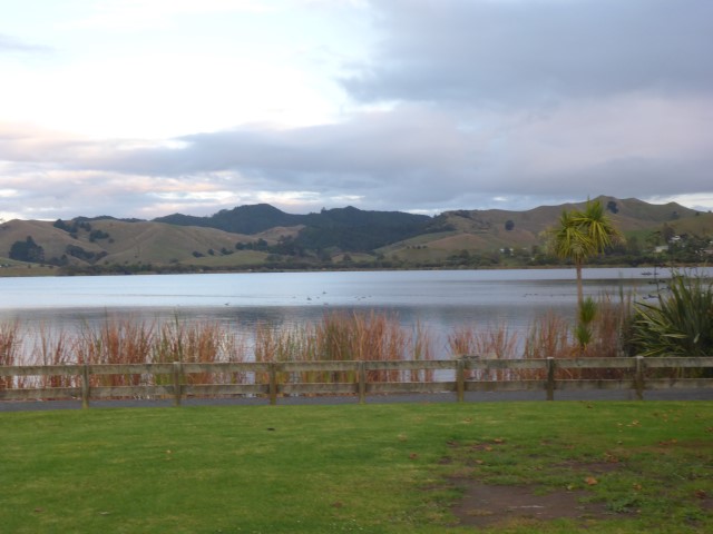
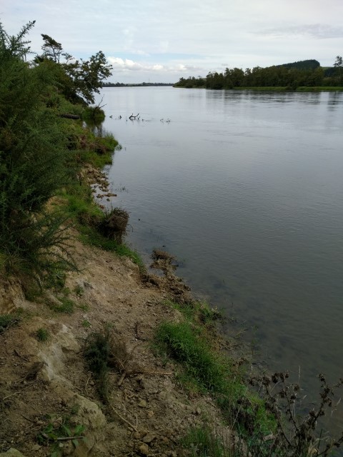
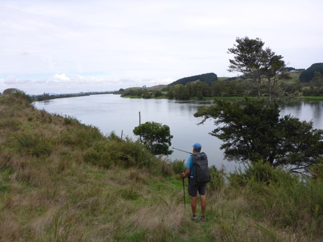
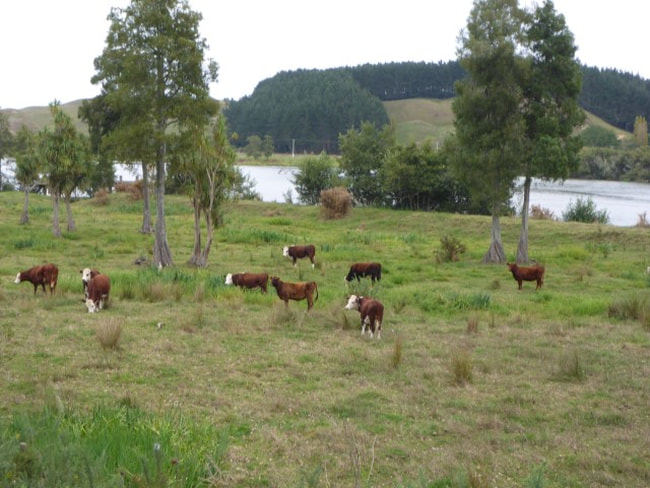
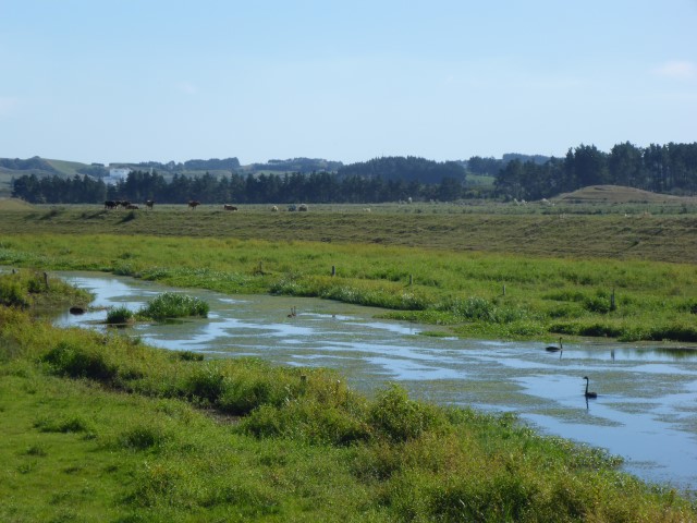
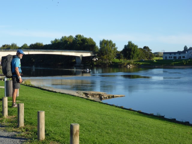
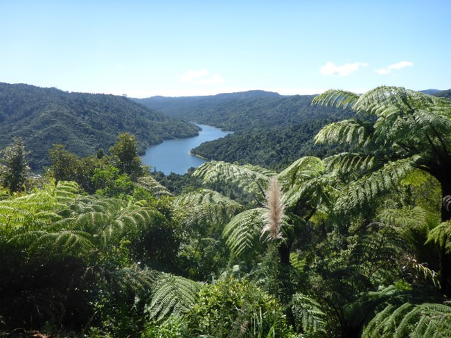
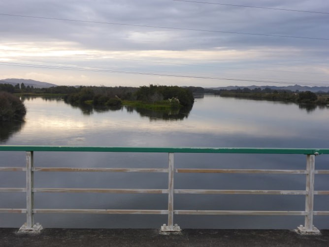 Looking east from the bridge at the Waikato River. Most of the first 10km or so was on tracks alongside the river (including more stopbanks). This bit also included a trip through the Huntly golf course - luckily there were no golfers in evidence as we were close to fairways and tees at times!! We did meet a cute dog here who followed us for some time. He belonged to the greenkeeper who was mowing fairways on the tractor. I guess the dog is used to hikers coming through!! Then it was more riverside walking although we did skirt around, on road, the dump site for the ash from the Huntly power station.
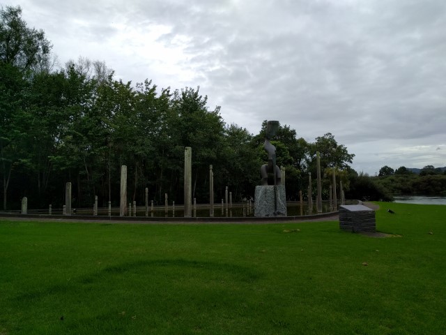
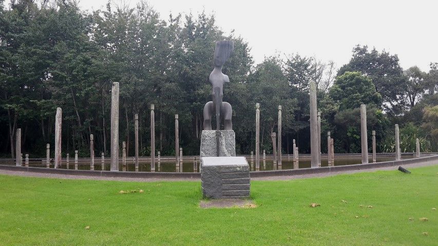
Eventually we got back onto the side of a rural road that took us on to the Huntly power station and to the nearby Sculpture Park - the main feature of which was a large water feature with sculptures representing the 1995 Treaty of Waitangi settlement for Tainui.
Then it was onward to Huntly West (still on the opposite side of the river to Huntly township). Coming into Huntly West I had a car pull up on the other side of the road. I assumed he was checking to see if we were lost - turns out he was the one who was lost and asked if we knew how to get to Glen Murray Rd!! Luckily with all the modern technology at hand I was able to point him 16km back up the road - he had missed a turn straight after coming across the bridge from Rangiriri!! Roles reversed for a change!!
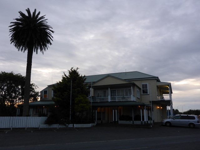
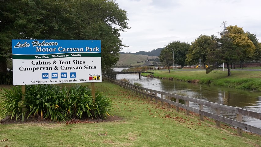
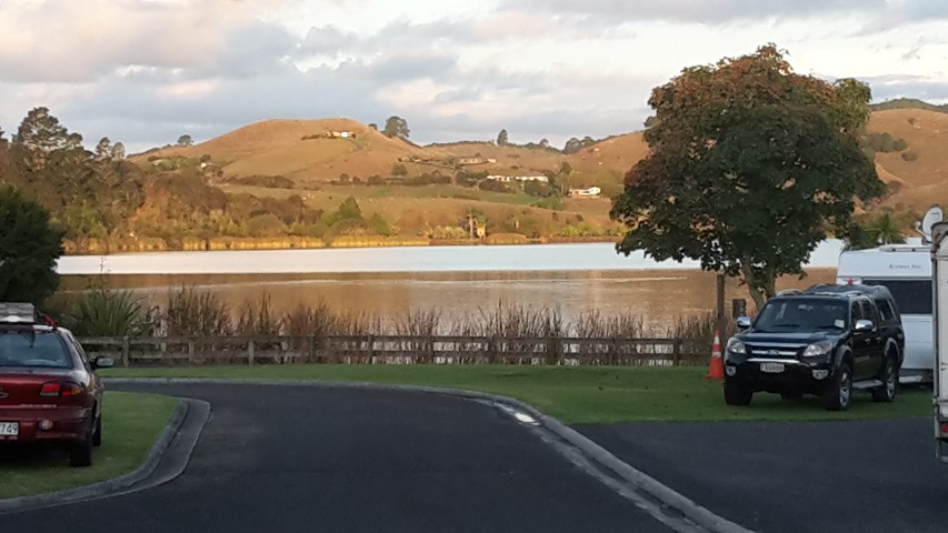
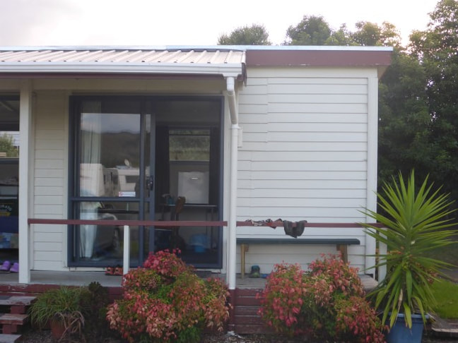
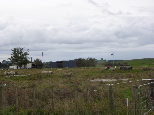
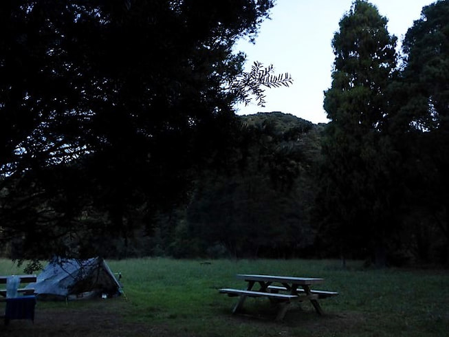
Found a dairy here for a well-earned drink and ice cream, before carrying on down to the rail bridge over the river into Huntly. Initially we had thought we would have to go another km further south to the road bridge, but there is a walkway across the rail bridge which was nice. At a small set of shops before we crossed over we came across a couple unloading stuff from a car - turns out he was a maori traditional medicine practitioner so we had a chat about that subject for a while!! This was the point at which we left the trail proper, and where we would come back to when heading for the crossing of the Hakirimata Range to Ngaruawahia. Once over into Huntly we had to divert south for a couple of hundred metres to stock up at Countdown supermarket before heading north back into town. Then it was across an overbridge that took us over the railway and SH1 and then another km or so north up to the campground. In town, just before crossing the overbridge we stopped for a feed in a local cafe. As we came out, a lady from a car came up and said "are you Tony and Belinda?" - it was Carol, the lady managing the campground, who I had been speaking to the previous day about the booking!! She said she would catch up with us later when she was back at the camp. We had booked a small cabin, initially for two nights as we had planned a rest day in Huntly. Rest days are not only a chance for R&R, but also to stock up the stomach on more substantive food!! The campground is owned by the Waikato District Council, is very well maintained and is in a lovely spot. Carol and Dave who manage it are lovely and very helpful - as noted above, we had already run into Carol in town before we got here!! The cabins have a special rate for TA hikers and worked out no more expensive than some campsites charge for putting a tent up ($20 per night per person). A great deal for us - and a lovely spot for a good night's sleep!!
1 Comment
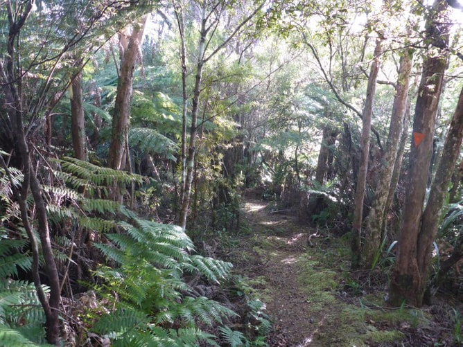
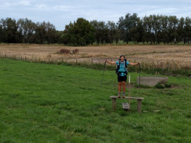
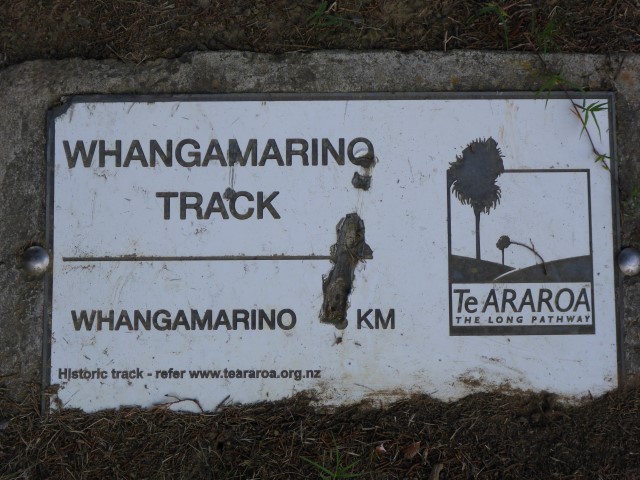
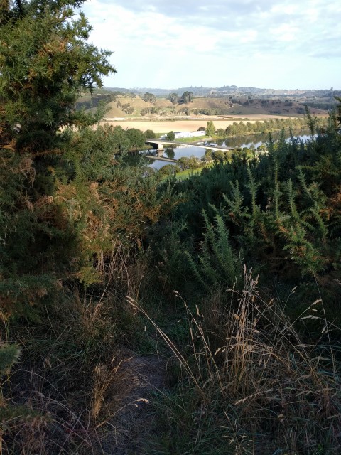
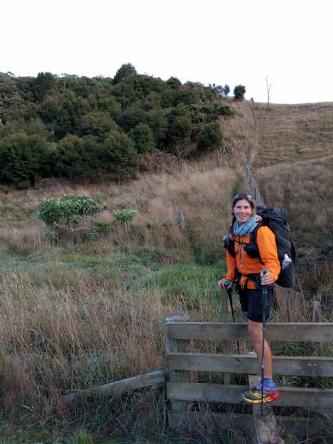
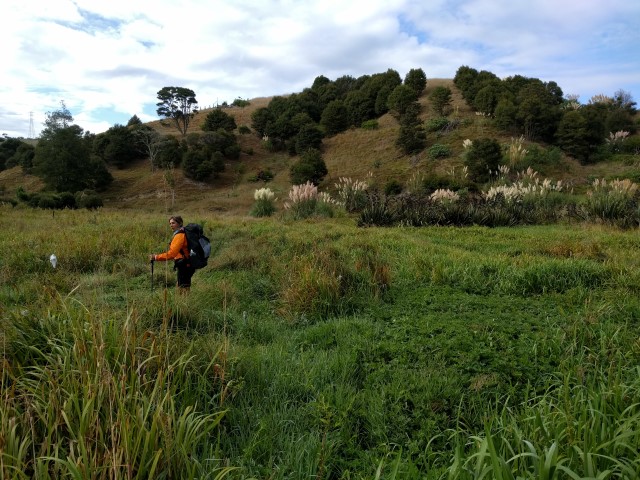
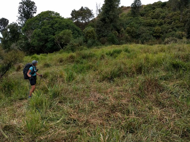
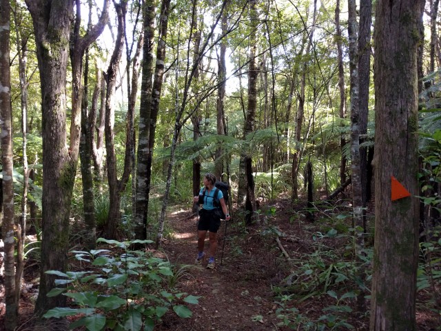
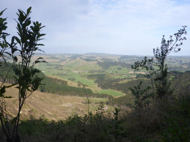
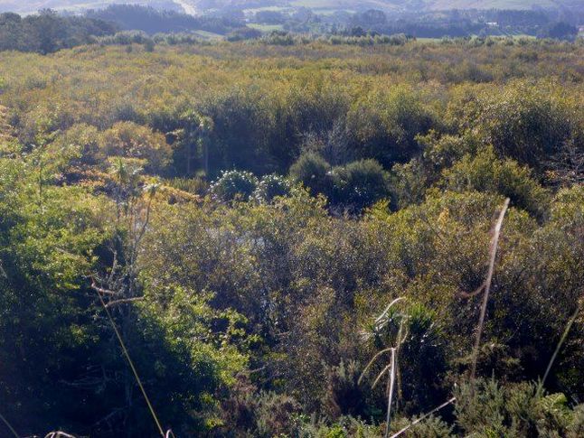
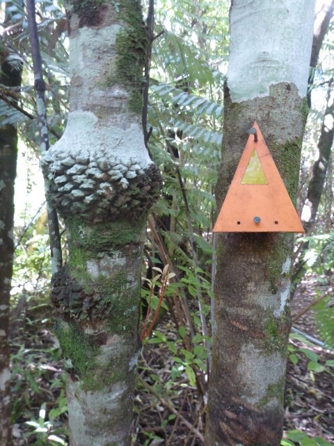
Had a reasonably leisurely start today, leaving at 0845 after a final chat with Sandra. It wasn’t a long or hard hike today so that gave us a bit of flexibility. Ended up doing about 25km to the Rangiriri Hotel, arriving about 1700. The day's GPS track is here. While we knew most of the day was fairly flat, it started with a walk over SH1 on the overbridge and into some scrubby hills on the western side of SH1 - the Whangamarino Redoubt track. We headed up into the hills and immediately found ourselves doing a circle in the gorse!! Somehow we must have missed a marker - not a good start after yesterday afternoon's mistake!! Luckily this one was not huge and only cost us 10-15 minutes! Headed off on the right track again following the trusty orange markers more closely - up and down hills, through scrub, pasture and swampy bits. Had some good views of the Whangamarino wetlands which is apparently the second largest wetland complex in the North Island (no idea which is the largest. There's a quiz question!!).
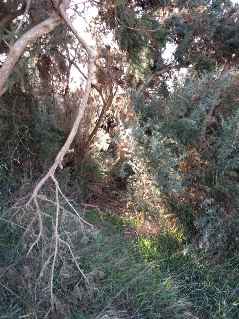 Yep - there is a trail in there somewhere!!
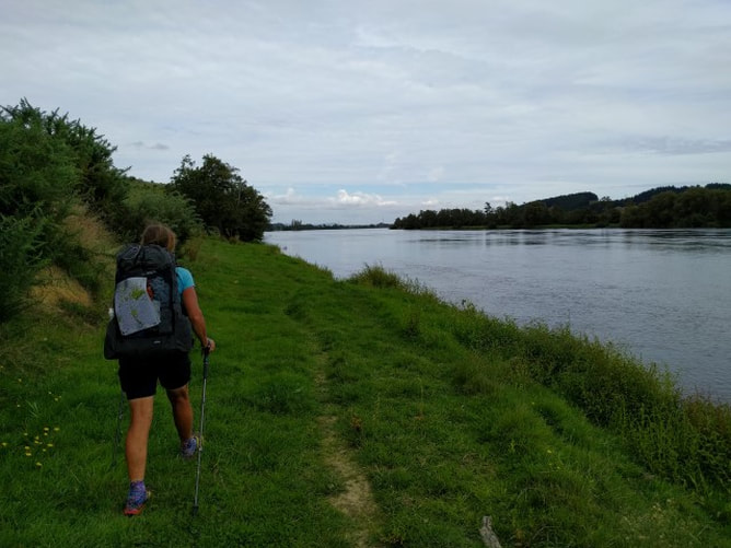
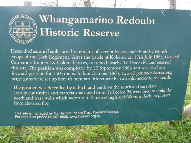
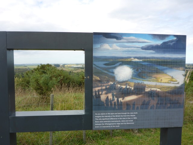
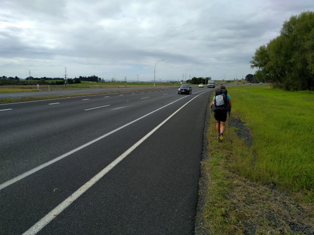
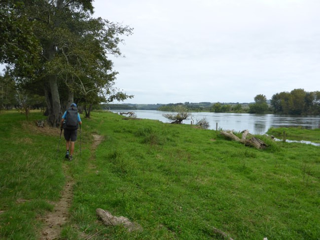
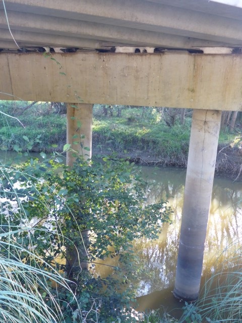
At the end of this bit was the Whangamarino Redoubt - the remains of a British garrison used during the Waikato wars to house troops and the guns used to pound a Maori stronghold a couple of kms away near Meremere. Then it was down again, under the rail and road bridges and walking alongside SH1 for a couple of kms to Meremere. Once at Meremere, we got away from SH1 onto the banks of the Waikato River - with the trail notes saying to carry on "as close as practicable to the river"!!
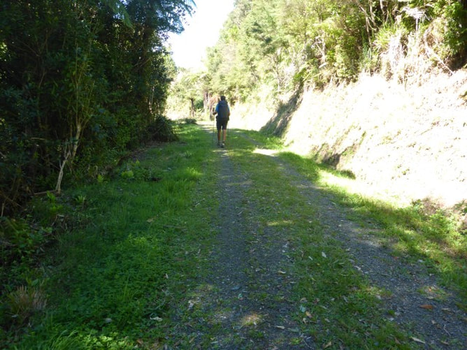
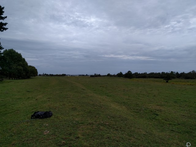
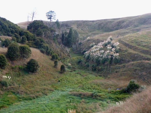
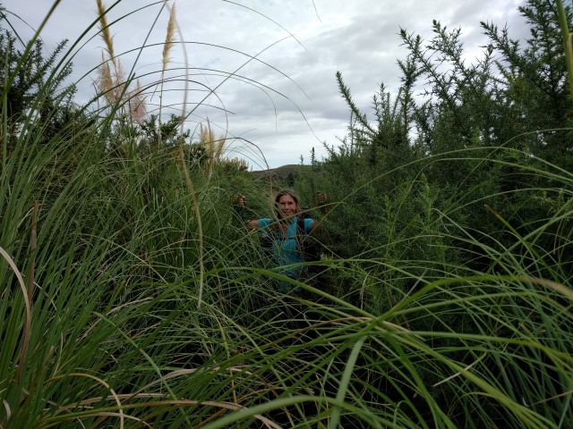
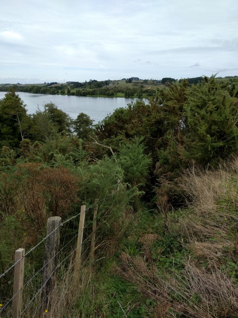
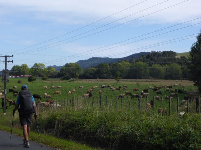
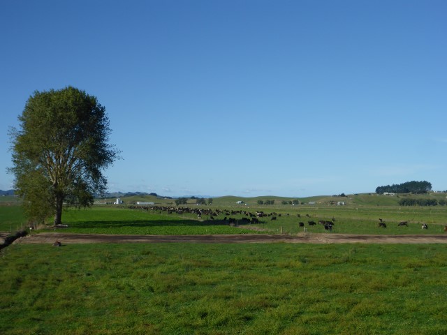
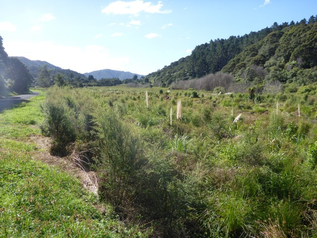
This track essentially followed the river to Rangiriri. Walking was a mixture of stopbanks and farmland with occasional swampy areas. We also had a couple of smallish hills to climb (30m or so only!) along the way where it was not possible to walk right along the river - this did at least allow for more views on occasions. As the photos show, it also gave us the opportunity to bash through more gorse!! This took us past the old Meremere power station, the old dragway and stock car tracks just south of Meremere, and on toward Rangiriri. It was about 17km from Dragway Rd to Rangiriri and most of this was on stopbanks, with an occasional switch into a rural road that ran parallel. Like earlier stopbanks, most of these are farmed so sometimes they are quite smooth and other times they can have longer grass and/or more rutted surfaces where cows have been traipsing along them - so variable going.
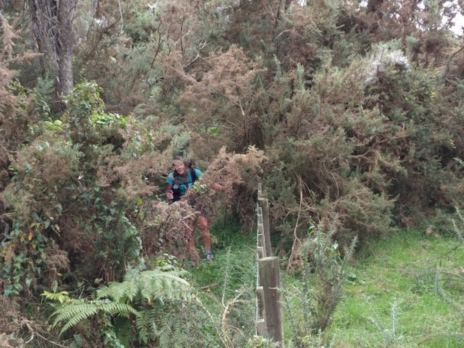 ..... and emerging through more gorse at the bottom of the hill!!
 This was better walking!!
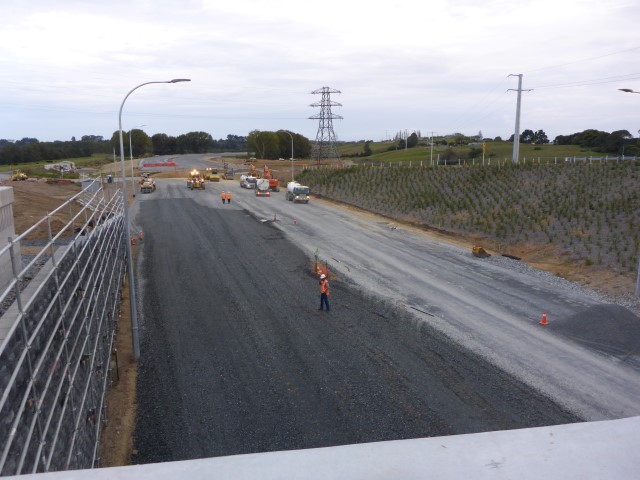
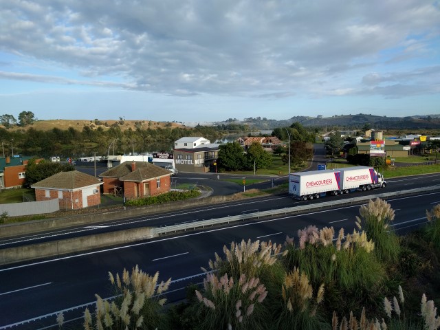
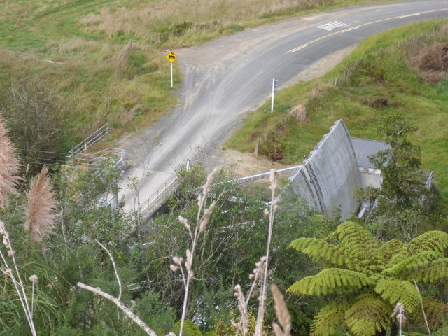
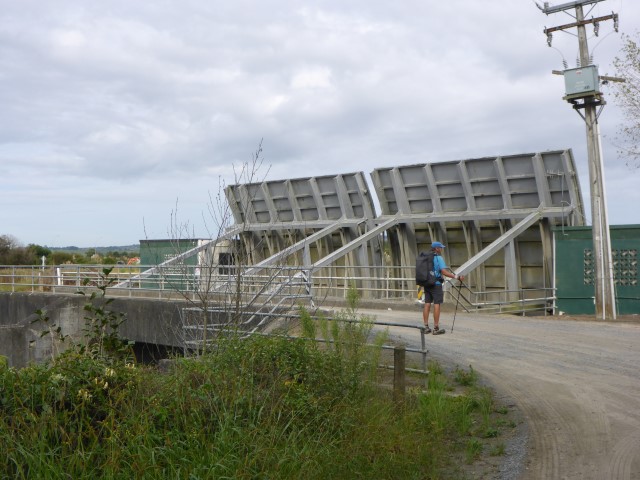
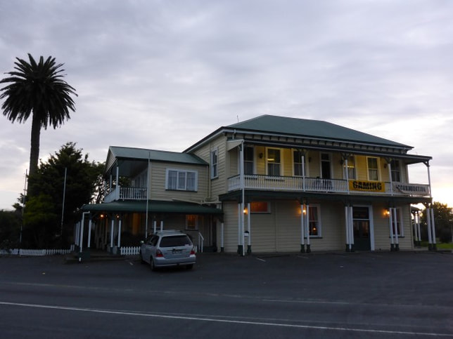
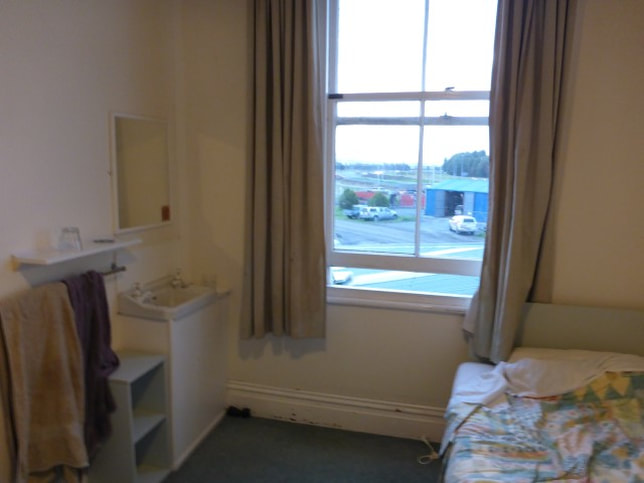
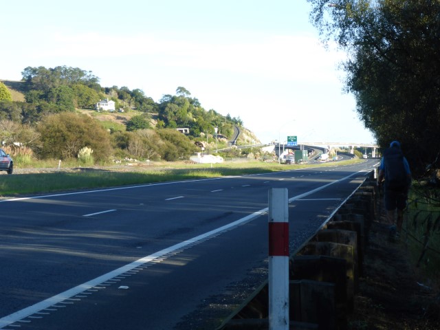
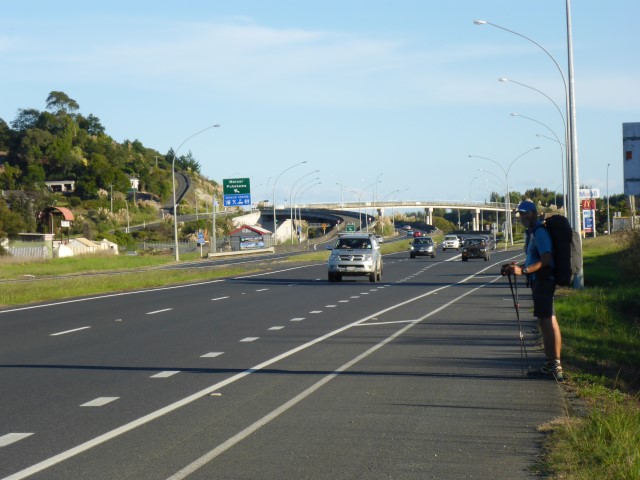
As we got to Rangiriri, there were massive roadworks (yet more new bits of the Waikato Expressway) which caused us some confusion in terms of how to actually get to the Rangiriri hotel where we had elected to stop for the night! Eventually we sorted it out - having to shoot across SH1 (!!) and then alongside it, behind an Armco barrier, for about 400m to turn off to the pub. The pub was a real old-fashioned variety accommodation. Old stairway up to a series of old but tidy enough rooms, passageway that sloped distinctly etc... The beer tasted good however, and our pub meal was great - so all in all not a bad experience!!
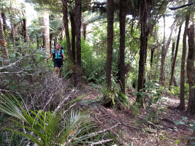
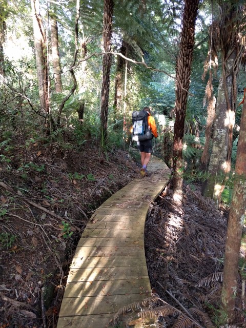
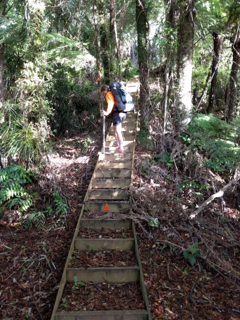
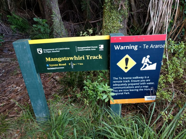
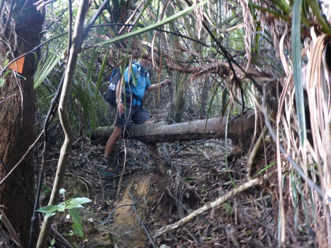
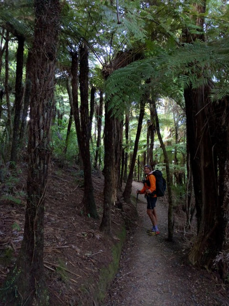
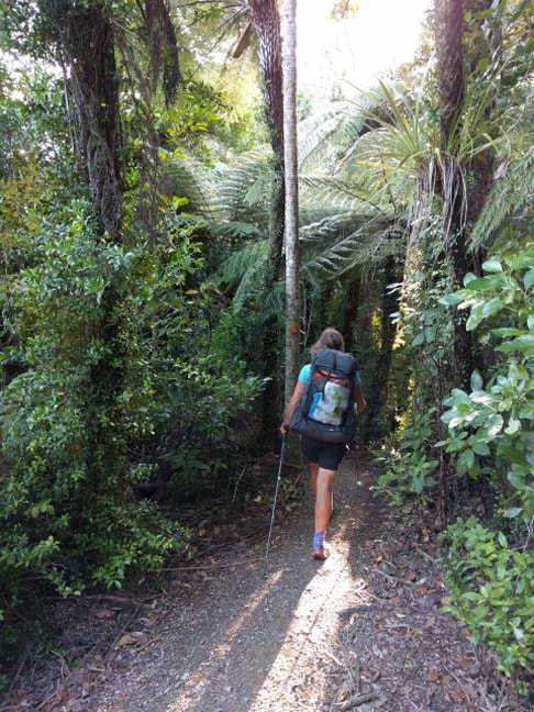
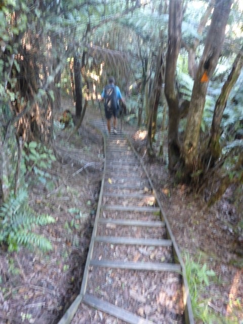
Left camp at around 0820 knowing we had a good climb ahead of us up through bush, up through 445m, and then all the way back down to the swingbridge across the Mangatawhiri River, at which stage we would only be about 6km from SH2 - nearing civilisation again! Today's GPS track is here. The first bit of the track, still in the Hunua Regional Park, was OK with some sections of boardwalk and some steps in places. Then it was out of the Park!!
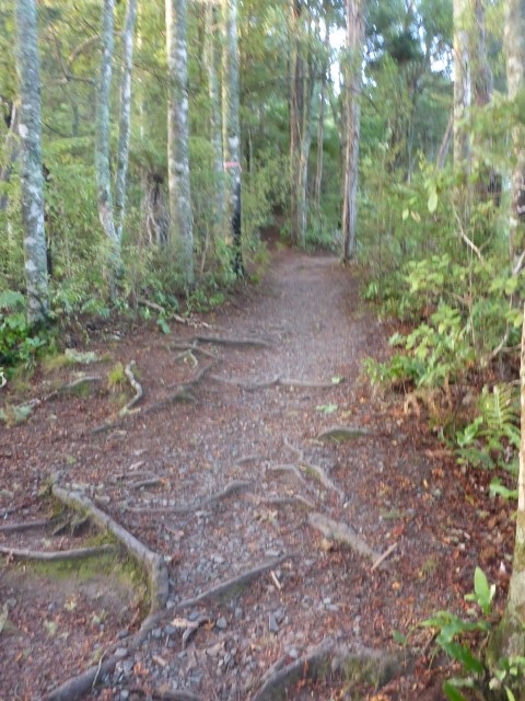
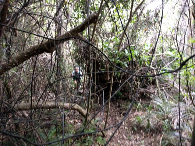
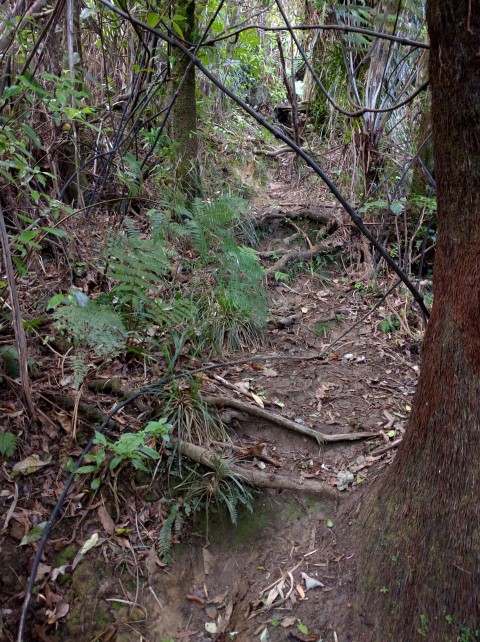
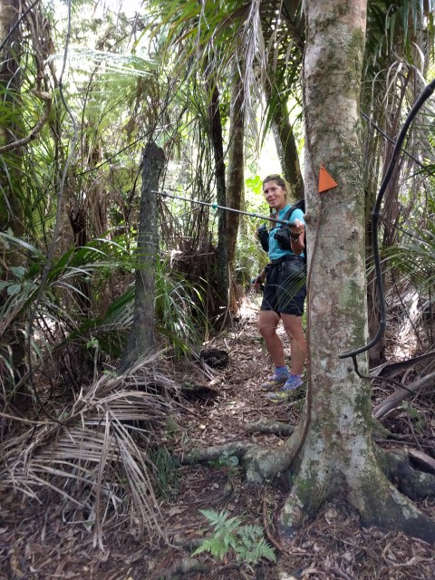
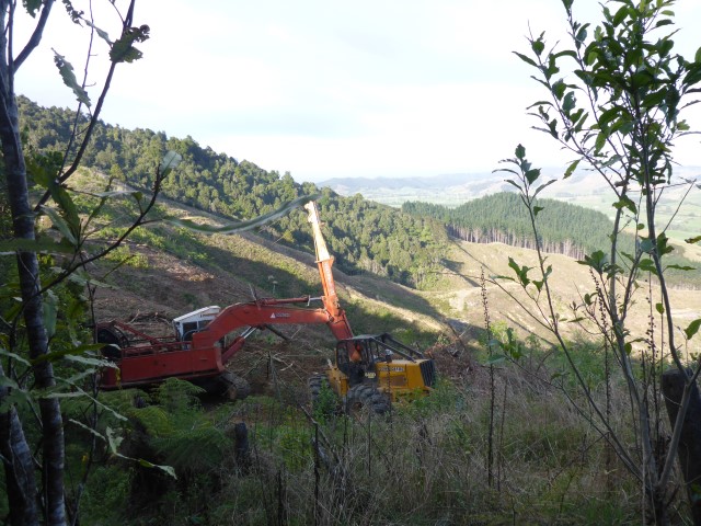
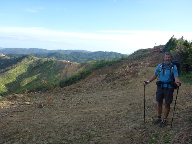
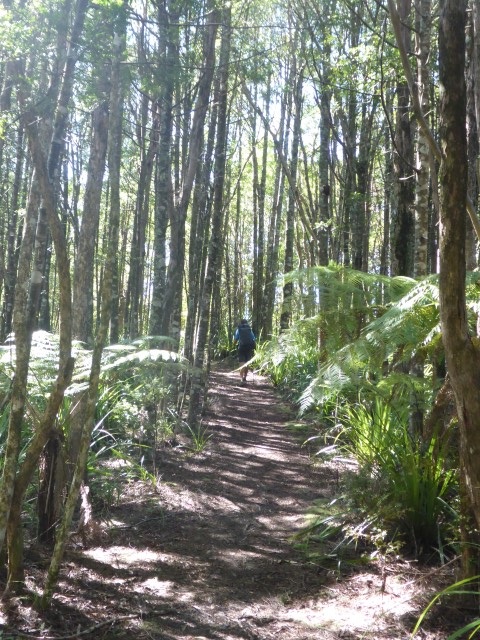
 And some pleasant bush walking. The track then turned into a usual tramping standard, so not fast, and to get to just past the swingbridge over the Mangatawhiri River (8 km), at the end of this bush section, took us a whole 4 hours!!!! That gives some idea of the terrain we were faced with for the bulk of this first section of the day's walk. Nearing the high point, we heard what we thought was machinery - assuming work on a trig or something. What we found was a logging operation on the boundary of the bush. We had to walk right past the back of the cable hauler in operation. We had to shoot out into the logged area for a short while and it took a couple of checks to make sure we found the right place to re-enter the bush!! We carried on up and then down until stopping just past the swingbridge, adjacent to farmland, for some lunch and a bit of a rest.
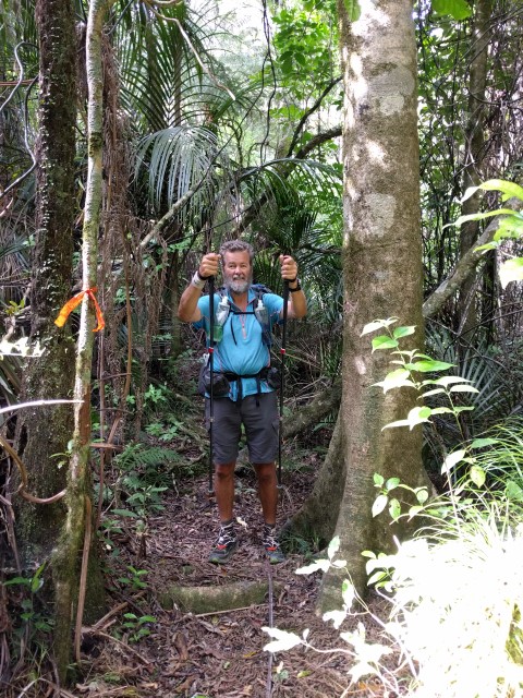
 Chance for a photo-op!!
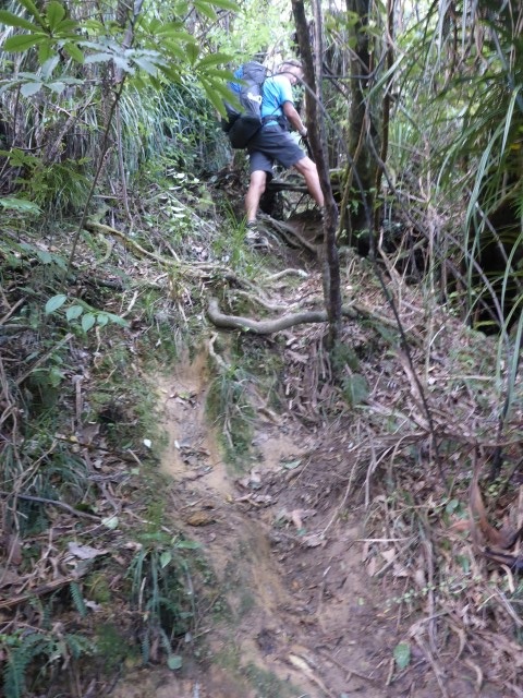 And some steeper bits to keep you on your toes.
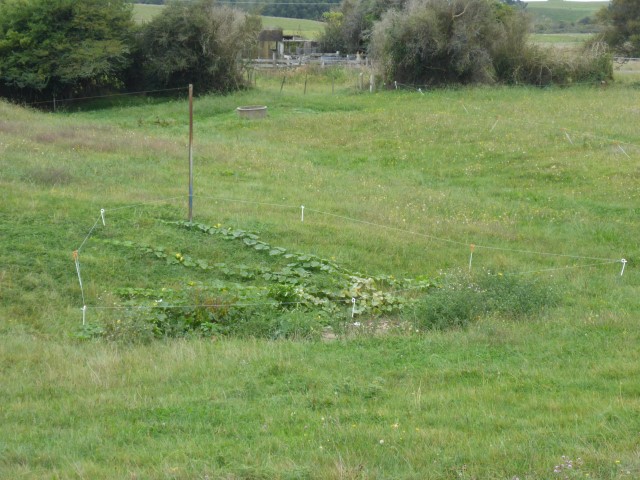
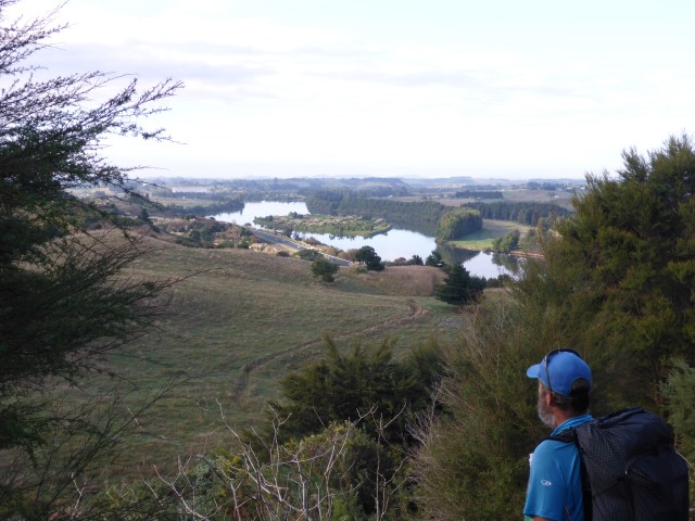
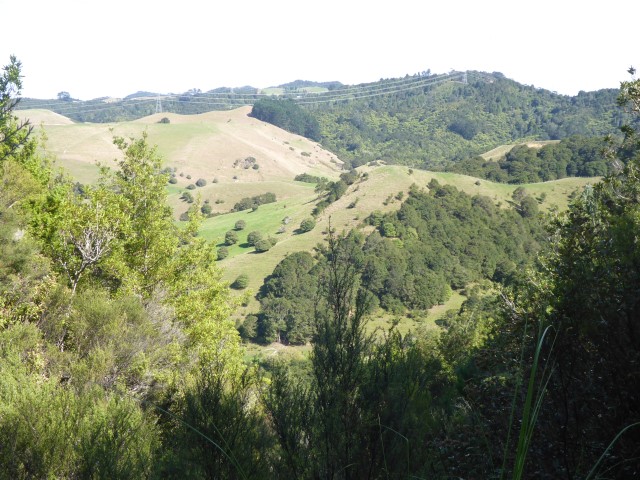
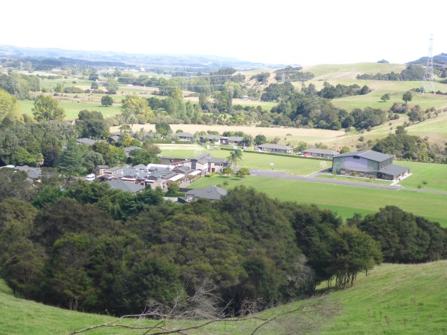
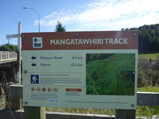
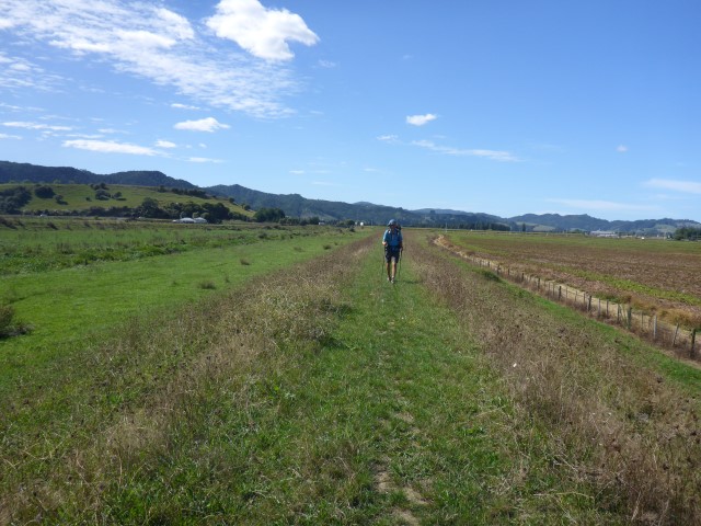
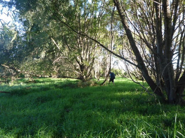
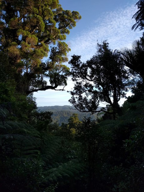
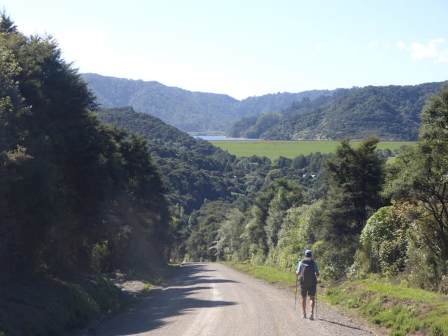
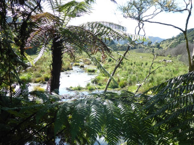
From there it was out onto roads near what I believe (from Google) is the Dilworth School Rural Campus. Then it was 6 km or so on road, including a short stretch on SH2, before turning SW under the highway and onto the Mangatawhiri River track. This started of with 6 km of stopbank walking. This is OK walking except where it is heavily rutted by animals - as you can imagine there isn't much shelter on a hot day either! All this area used to be wetlands and right at the end of this stretch there is a parcel of land owned by Fish and Game that shows what the original landscape was.
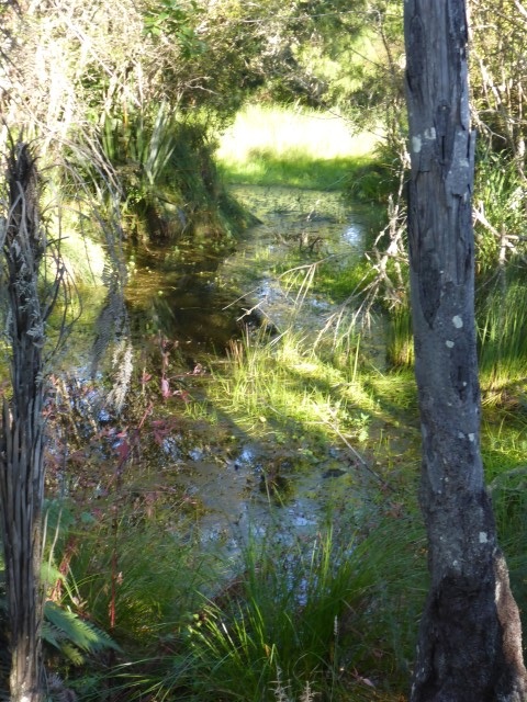 Fish and Game wetland. After another couple of kms on road we had to head under SH1 to get on the west side into Mercer. Had a small brain fade here by trusting the gps track instead of (or as well as) reading the notes - so had about 400m of unnecessary road walking before discovering the track that took us under the road. From here we headed south down the side of SH1 - sometimes in scrubby grass/trees a little away from the road and sometimes right beside the highway. In fact we eventually settled for walking most of it beside the highway! The only exciting thing here was that I almost stepped on a wasp nest right in the middle of the grassy track! Luckily I add been watching wasps (lots around) and noticed a congregation of them. No photos as I barracked pretty fast (!!) and suggested to B (following) that we took a small detour.
 We squeezed under here!
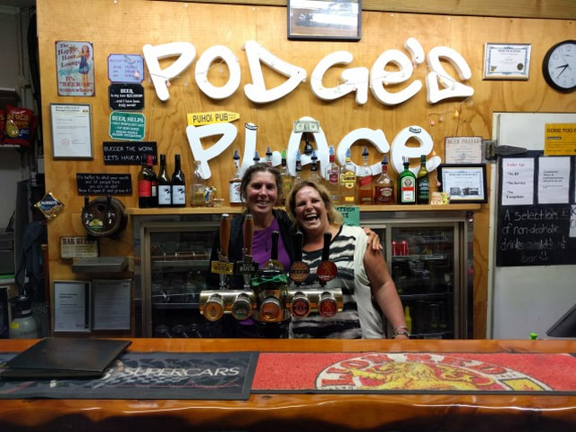
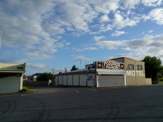
Arrived in Mercer to book in at Podges Place - a small bar with motel attached. Sandra is famous for chasing down any TAers she sees and getting them to stop in - Podge also picks a few up as he is driving around in his truck! They offer free camping for TAers, which is really generous. B and I decided to shout ourselves a small motel unit - our justification was that we should support local businesses who support Te Araroa!!! We also needed to spend some time repairing B's pack. Some webbing had frayed and one of the supporting rods was working lose - very uncomfortable. We went back next door to the bar for a feed and a few beers / ginger beers. Sandra is larger than life and really lovely - the pizzas are superb and the size of the meals is old school. We couldn't eat everything but were stuffed completely full! Our shrunken stomachs did suffer a bit of overload - especially mine as it also had to make room for a few beers along with all the other fat and carbos!!
All the patrons were very friendly and Sandra and Podge provide a great service for the TA. If not for TA we would probably never have stopped in Mercer - it's just a reminder that there is so much of NZ that we miss out on as we zip through on the main highways. The motel unit was great and we got a good night's sleep - with no concerns about having to put the tent up and down!
Sorry it's been almost 2 weeks since an update. It's a combination of lack of time and of technology and/or reception issues! It is especially time consuming to organise photos from the camera to phone and then to the blog, particularly when the app keeps misbehaving!
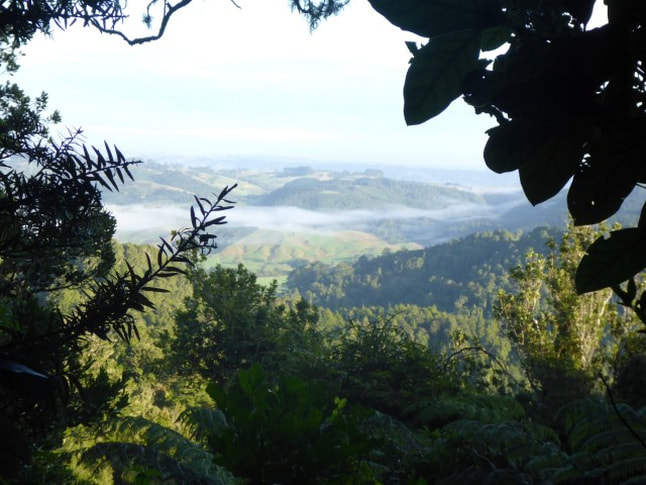
It's 0500 on Monday 11th April and we are in Te Kuiti - about to start a longish stretch to Taumarunui. This is likely to take us up to seven days with no resupply opportunities - and won't provide opportunity to update the blog either. However, we intend to head home from there for the winter so i will get on with the blog as soon as e are home! Until then ...... Note that I have reposted this dated 29/3/16 just to keep it in context as, although the following blog post were written after 11/4/16, I have dated them on the actual day of the walking to ensure that the archiving dates make sense!! Make sense??? :-) We ended up doing 25km today as I had the watch inadvertently turned off for about 1.5km. It was also a fairly up and down day involving about 900m vertical in both directions. Today's GPS track is here. After the unfortunate events of yesterday at the Hunua Falls we intended to get away reasonably early before family etc arrived. We did get away about 0745, with TV1 news crew already there but with all the police tape etc down - the body of the teenage boy having been recovered about 10:30 last night. The first few hundred metres involving getting back on the track proper, before starting the climb up to over 400m. The hike up was initially a mixture of nicely graded, good track and some steps through some pretty bush.
 Light bush and pretty good track.
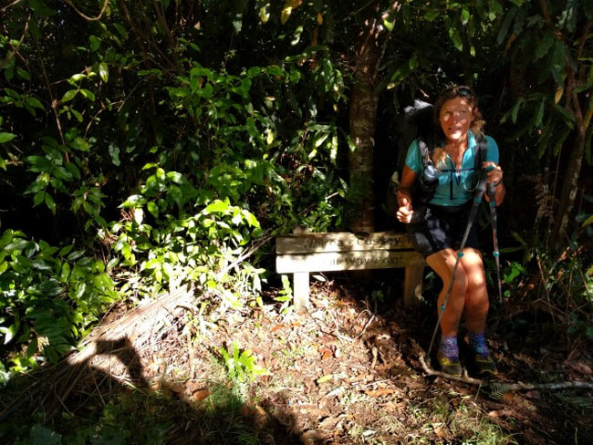
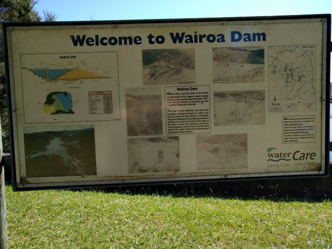
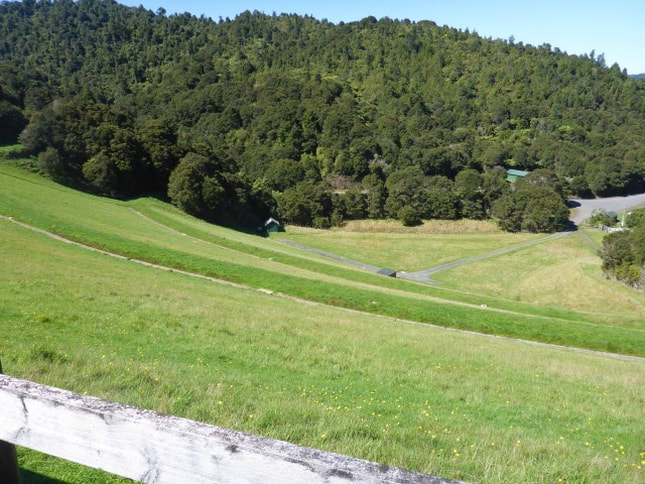
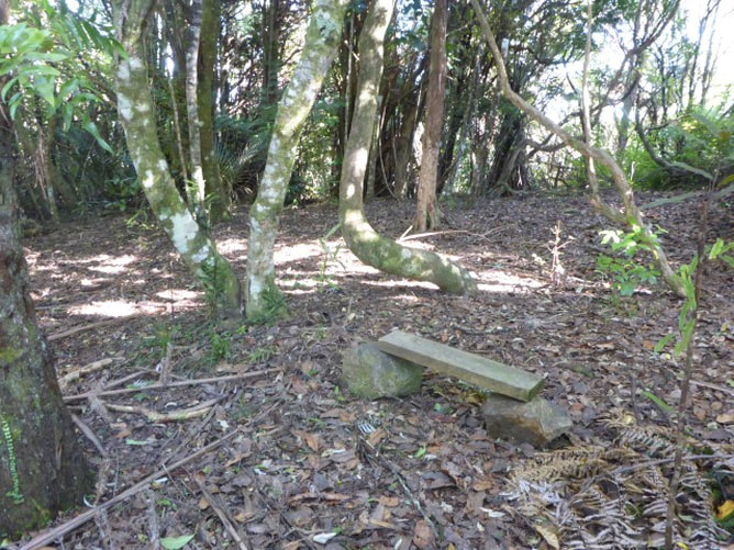 Some wag had made themselves a seat . We then joined the Wairoa-Cossey track which was more of a tramping track with the usual stepper, rooty uphill and downhill with some mud in places (but still pretty good underfoot compared to what others have faced!). This eventually took us steadily down to the Wairoa Reservoir where we stopped for some lunch.
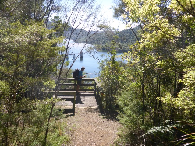
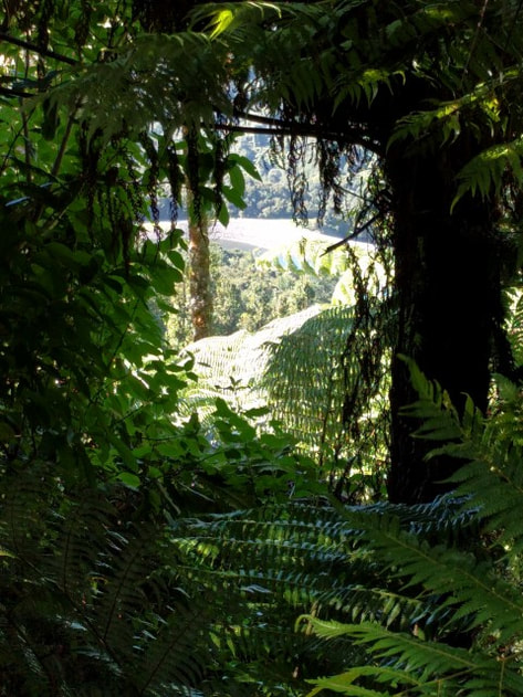 Hint of the Wairoa Dam through bush as we descended.
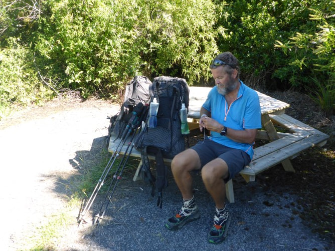
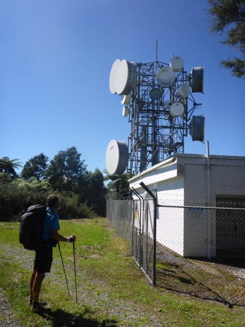
Then it was (of course!) back uphill again, at least initially, on more tramping track through bush. After about 2.5km we appeared out of the bush onto a 4wd track/road to see a big repeater/transmitter station - now we know why it was called Repeater Rd!! Just after here, about 400m off Repeater Rd, was a basic campsite where we stopped to have a snack and top up our water supplies as it was a fairly hot day and the sweat was flowing a bit!
 Repeater Rd - obviously need to get trucks etc up to the station occasionally so the road is good.
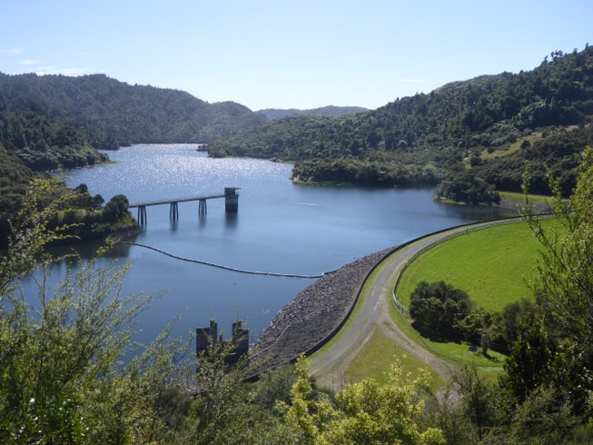
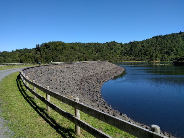
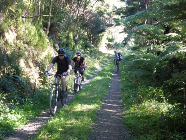
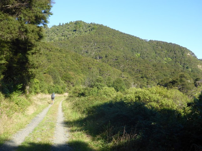
 Short rest and water resupply!! From here it was mostly downhill on metal roads initially and then on 4wd tracks (and some cycling tracks - we actually passed a couple of cyclists!) for another 10 km or so until we reached the Lower Mangatawhiri campsite. On the way past we got a look at the Upper Mangatawhiri Reservoir face as well. These reservoirs form part of Auckland water supply and are impressive structures!
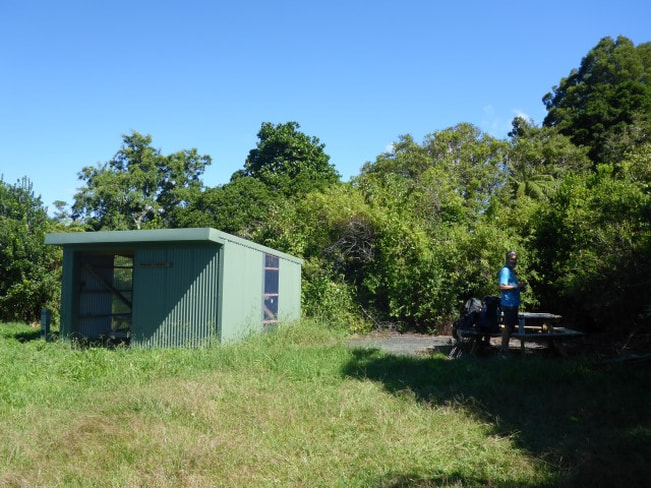
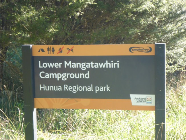
The Lower Mangatawhiri campsite is a basic site with a couple of longdrops and some picnic tables, with water from the adjacent river. Of course we were the only ones there - particularly as there is no vehicle access without special permission from the Auckland Council, and a lot of the nearby tracks are for mountain bikes. We arrived around 1700 from memory which gave us a bit of recovery time as we had done a couple of biggish days previously as well and we knew we had a bit of a climb first thing next day! We did take the opportunity to have a bit of a wash in the river while there - to at least try and reduce the hiker smell factor!!
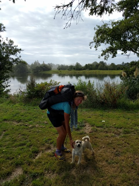
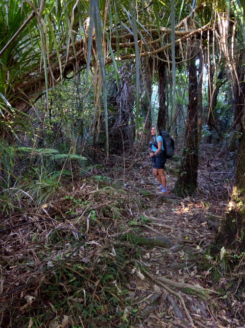
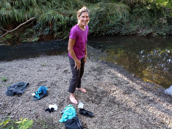 This was our water supply as well as our chance to get a wash!! In that order I might add! Belinda here:) I thought I'd give Anthony a hand with catching up on the blogs. Warning - we are having serious problems loading these blogs correctly so if it's a bit jumbled, we apologise and will try our best to sort then when we have time. Very frustrating, believe me. Staying at Manakau Holiday Park was quite the "blast from the past". The park was used by the Paraparaumu College Roadshow for accommodation when we toured in the Auckland area, all those years ago! We were sad to hear that the park had been sold and will be used for housing, especially as there are very few campsites in Auckland. Ant will fill you in on the technical details. We headed off with a heavy dew on the ground. Luckily we had very nice paths from Manakau through to the Auckland Botanical Gardens so it was dry feet for us! We didn't spend long in the gardens but did enjoy the beautiful crisp morning and seeing people exercising their dogs.  Great walkway.  Pathway under SH1 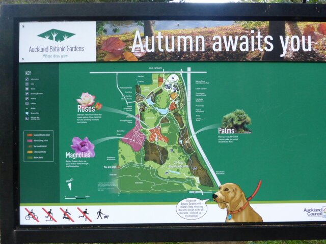 Auckland Botanical Gardens 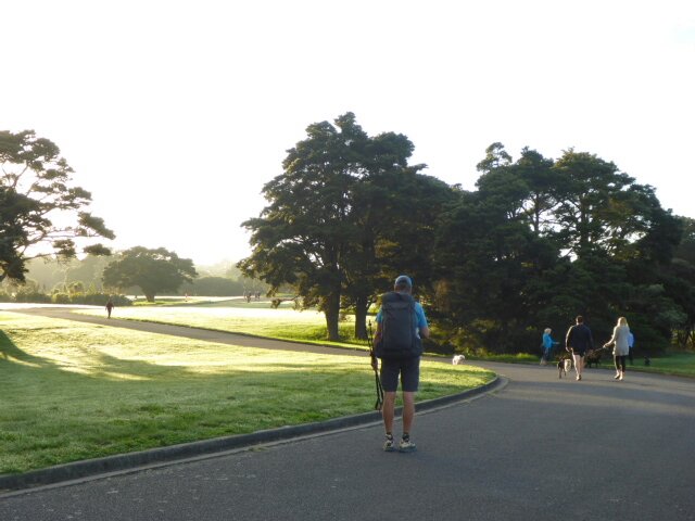 Beautiful morning! 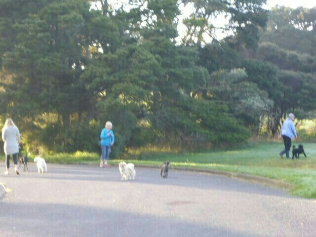 Dogs everywhere Leaving the Botanical Gardens and into beautiful Totara Park. More people walking dogs and a group of hearty souls doing what looked like 'boot camp' 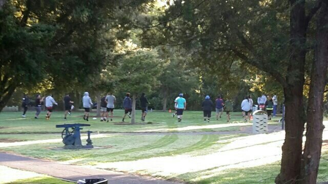 Easter Monday work out We then hit the roads, leaving the city behind us. We were heading in the direction of Clevedon and there were many lifestyle blocks as well as the odd full scale farm to keep us interested. 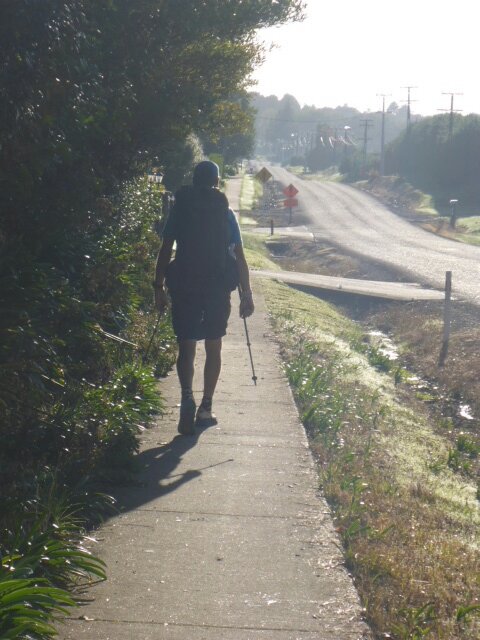 Holiday Monday, traffic not too bad. 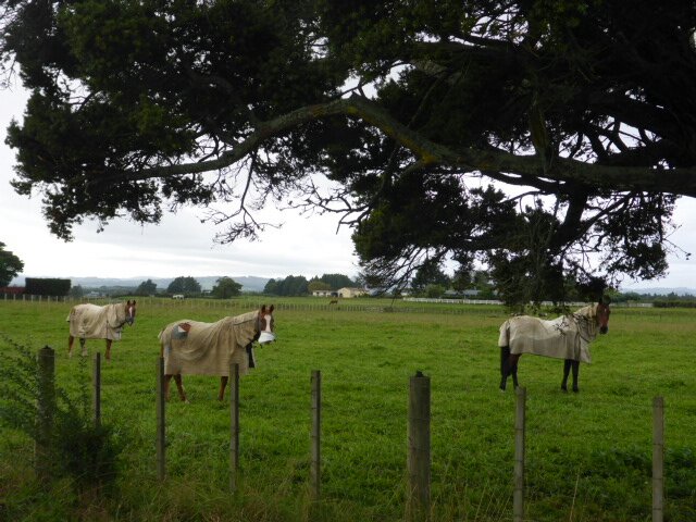 Horses, yay! 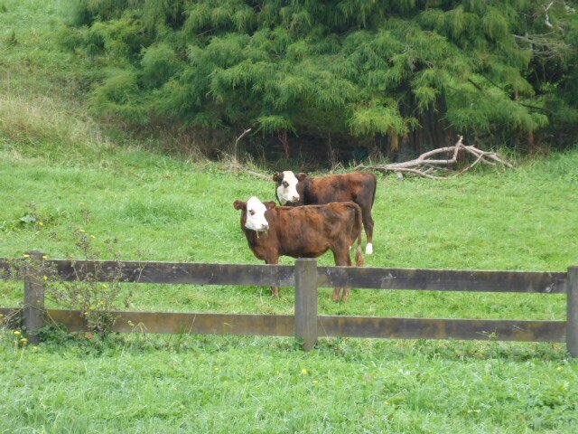 Sookies (calves) were calmly intrigued as we walked by. 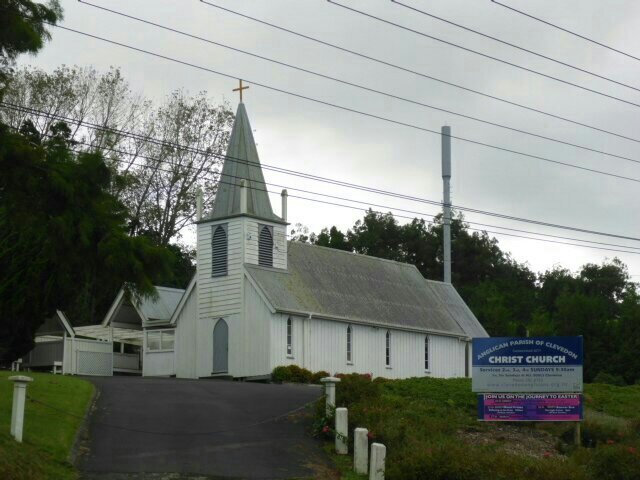 Cute little church on hill. When we are walking long days, we try to have breaks every few hours. It's good to get the packs off our backs and weight off our feet. Sometimes at lunch time we'll even take our shoes and socks off to give our skin a breather. 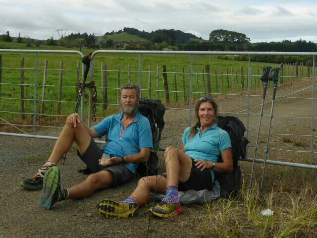 Morning tea and something to lean on:) 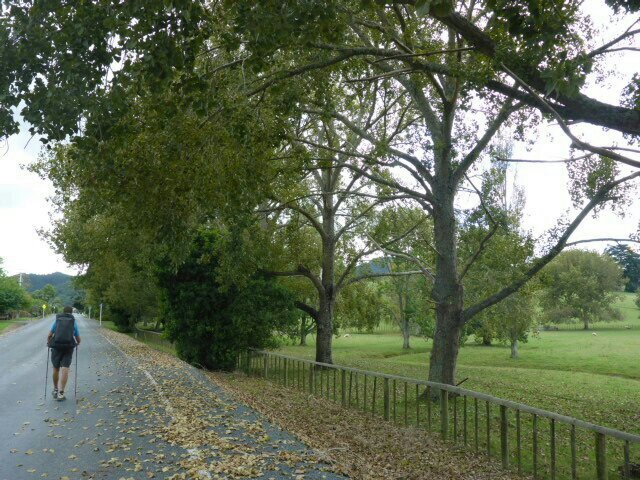 Beautifully presented farm I remember from my horse riding days that Clevedon had a fair number of equestrian enthusiasts. That doesn't seem to have changed much as there were some very nice establishments. 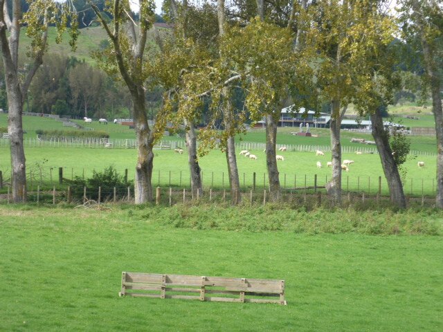 This place had an all weather fitness track on the perimeter. 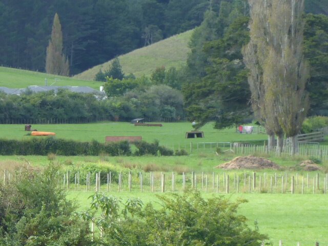 Cross country jumps for training 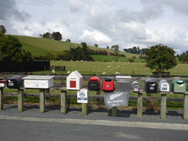 Variety of letter boxes After the road walking we soon had a "TA Special" to negotiate. These are tracks that I think are put in to connect other tracks or roads for TA. This one was climbing steeply through regrowing blackberry and gorse. There was a good view at the top though! 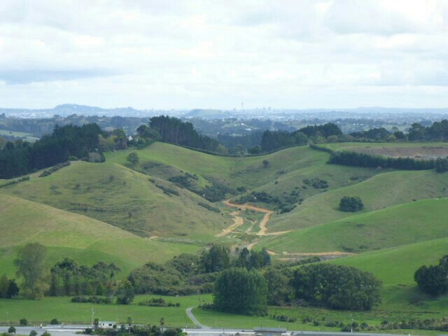 Sky tower in the distance above the clay tracks 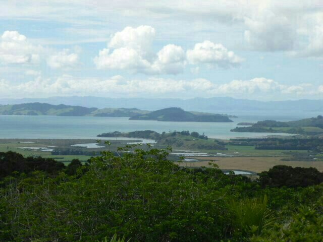 View from the top looking east towards Coromandel peninsula 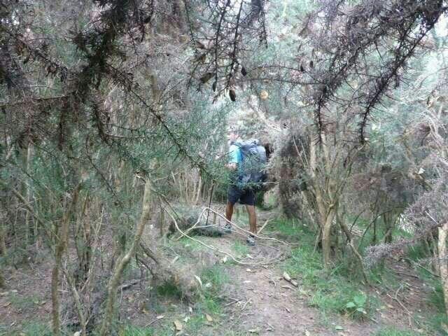 More gorse to deal with on the descent We eventually joined up with the Clevedon Reserve circuit. There was a lookout at the top and quite a few people were using this track. We stopped for lunch at the bottom on a very nice grass area before heading into the town of Clevedon for a cool drink. 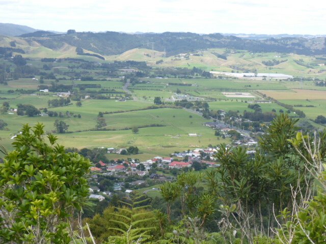 Clevedon from above 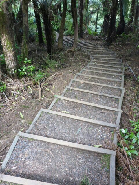 Steps!!  Lovely red flowers, not too sure of their name. 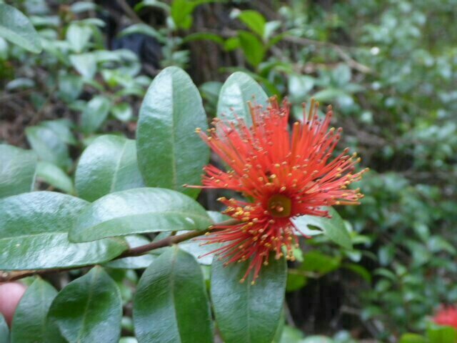 Rata??? B here again. As I was having loads of trouble with the blog doing its own thing, I thought I would start a new one to reduce the risk of losing what I had written!! From Clevedon we headed along the road, enjoying the interesting houses and expansive gardens. Our planned destination for the night was Hunua Falls. We had just stopped for me to take a photo when a gentleman caught up to us on his bike. Scott is a great TA supporter and offers TAers a place to put their tent if they need it. As Scott is planning to walk TA this next season, we had lots to talk about. As Scott rode his bike, we carried on "walking and talking" until we reached the start of the Wairoa River Track. Scott knew the area well from his running and gave us loads of information and tips. Thanks Scott, we hope to cross paths again:) 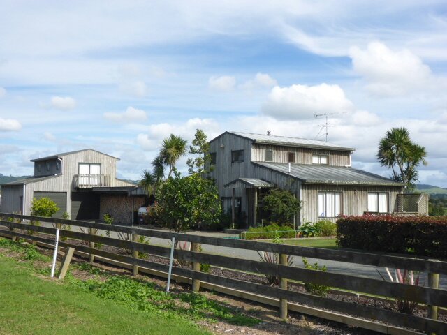 The photo doesn't do this charming property justice. 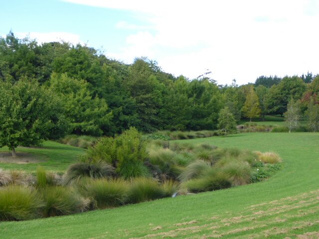 Big open gardens 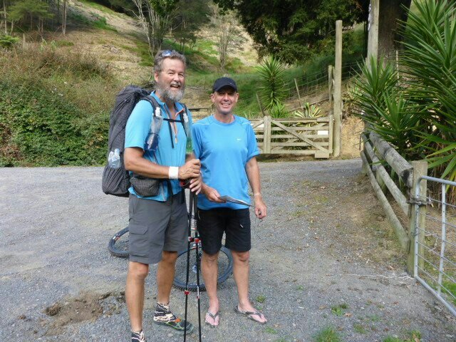 Farewelling Scott! The next section was slightly rough but very pretty along side the river. It was getting late in the afternoon and we were keen to arrive at our planned camp so we made pretty good progress. We came to a pine plantation that was open and airy and noticed a few nice places to put up a tent if we had wanted to. It wasn't long after that, a piwakwaka (fantail) fluttered around in front of us and literally made us stop. He/she then sat on a branch about a metre from us and told us a great long story. No fluttering around, just chirp, chirp, twitter, twitter then off he/she flew. The fantail didn't even come along with us for a while which is usually what they do. Both Anthony and commented on its unusual behaviour. 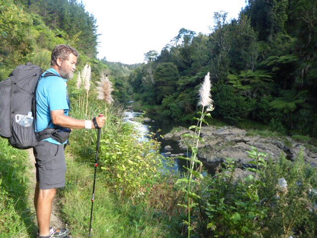 Wairoa River Track 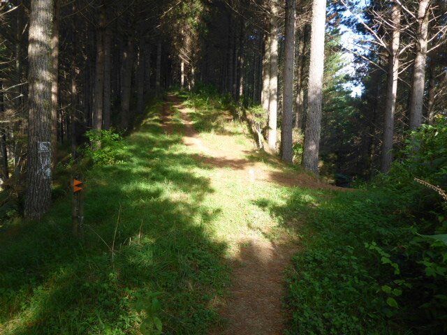 Nice open pine plantation 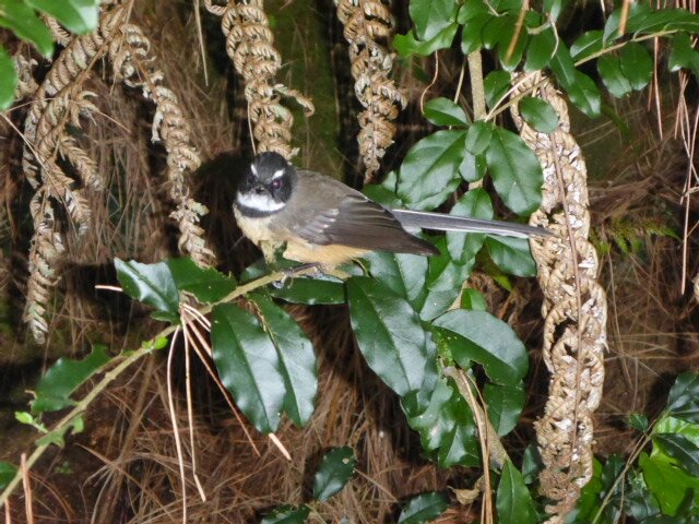 Piwakawaka with story to tell After a brief section on a road we picked up the track to the Hunua Falls.
We could hear the falls and knew we were close. As we approached the falls we were met by the police. The area had been closed off as there had been another tragedy at the falls. They were fine with us going past and the ranger was ok with us staying. We just kept well away from where the emergency services were working. They worked into the night doing what they had to do. So very, very sad. Due to the area being tapu, we have no photographs of Hunua Falls or its surround. I couldn't help wonder if piwakwaka had come to suggest that we might like to stay back at the pine forrest with him. Today's gps track is: http://www.movescount.com/moves/move98634420 Sorry about the lack of hyperlinks - new version of Weebly app doesn't appear to allow me to hyperlink - you'll have to cut and paste! Left Ella's about 0750 and rejoined TA track about 0810 to head under the "new" Mangere Bridge and across the old bridge. From there it was west around the waterfront on mainly concrete paths (well used on a Sunday morning) towards Ambury Regional Park. 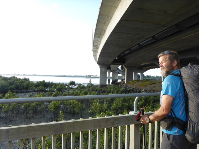 Heading under the "new" Mangere Bridge. 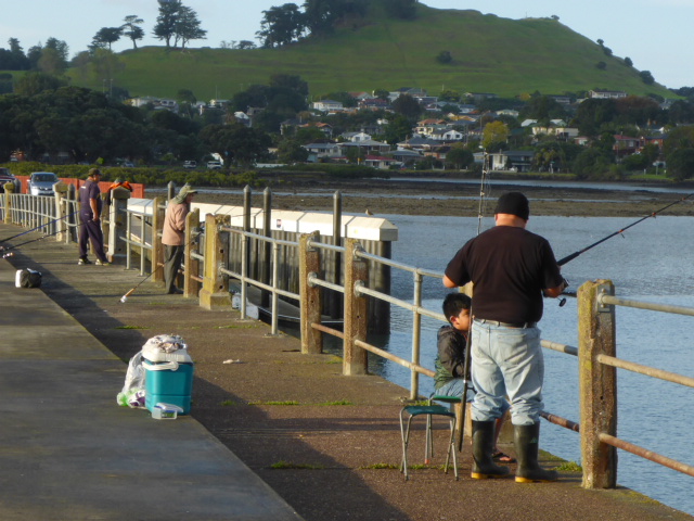 A bit of activity on the old bridge on a Sunday morning. 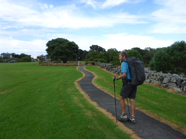 Formed pathways! 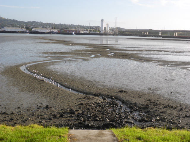 Interesting how even a little water flow can create a pathway in the mudflats. 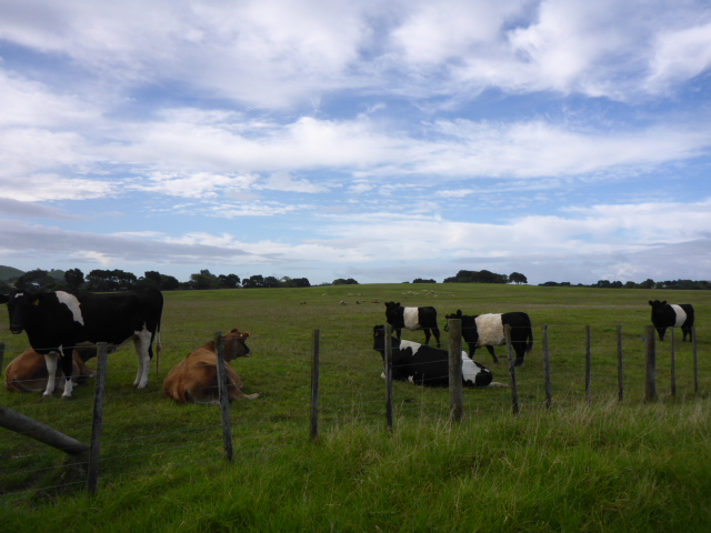 First stock in Ambury Park. Used to people! 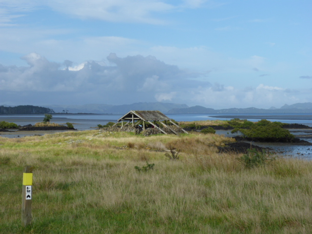 Old abandoned building - but a small group were using it for a Sunday morning church singalong 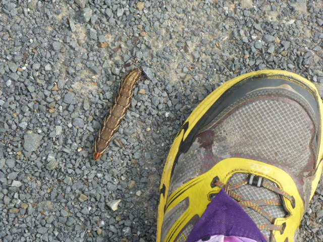 Big caterpillar! Either that or B's foot is shrinking! 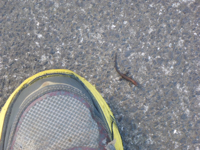 A bigger foot? Actually the lizard (skink? gecko?) is very small - hundreds of these little fellas around if you look closely. 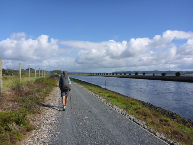 Alongside one of Watercare Services' canals. Huge wetland area behind the fence to the left Then it was round through the Otuataua Stonefields reserve and east on roads to meet up with George Bolt Memorial Drive which, as locals will know, is the main road into the airport. We stopped at the shopping centre for a lunch break although nothing much was open (including Countdown) as it was Easter Sunday. After a break there we headed east and south to enter the Puhinui reserve (B hoped to see some horses in action!). Obviously we saw quite a few planes coming into land (they were landing east to west today) - amazing how those larger jets seem to just hang in the sky. Isn't physics wonderful! 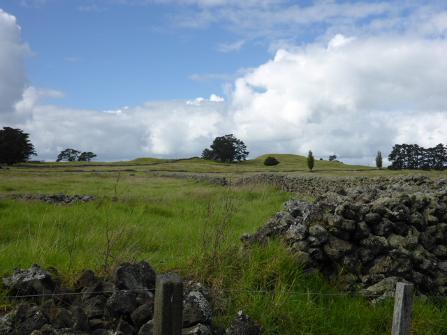 Into the Otautaua Stonefields reserve.  And out! 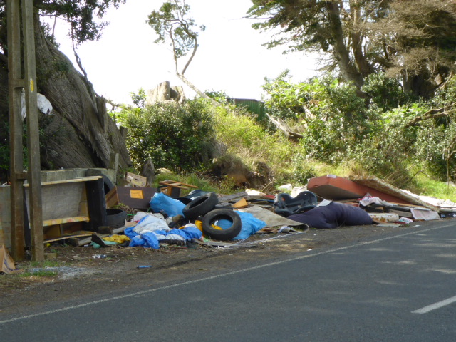 B took photos of a few of these sights. Not one of the better sides of the kiwi nature - hard to imagine the mentality of these people?!  Walking alongside George Bolt - very close to Akl Aiport. 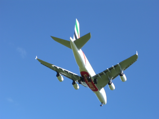 Emirates advertising underneath - wouldn't have known whose it was otherwise! 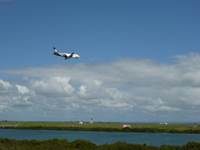 Smaller AirNZ domestic jet. 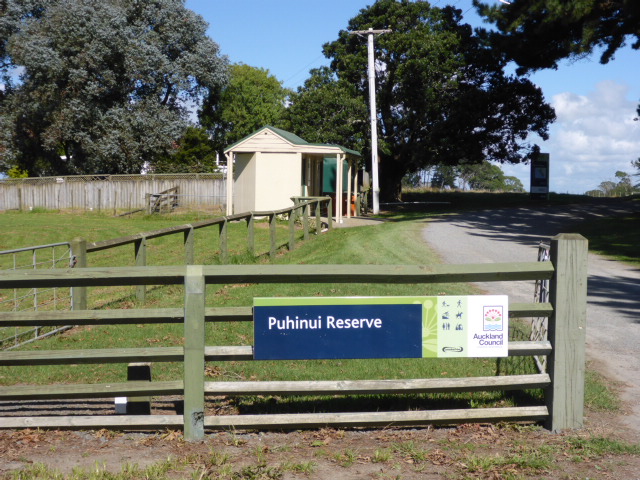 Self explanatory? 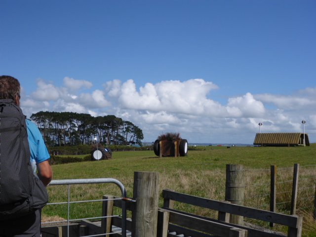 Horsey jump thingies :-) There was actually an event on. 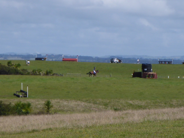 And there's a horse and rider actually doing it. B was very happy!  There was some variety in the scenery today!  Believe it or not ........ we passed a three legged sheep on the way. A pleasant walk through the Puhinui reserve was followed by a bit of road walking, including stopping for drinks and icecreams at a Mobil!! We had done most of our 32km for the day and needed a recharge! We did duck back onto the Puhinui Steam track for a couple of kms again before the final 1.5km to the Manakau Holiday Park where we elected to get a cabin for the night. It had been a long hard day on hard surfaces and our feet and legs were definitely feeling it. The good news was that it was probably or flattest day on the whole trail! We only climbed a total of 80m and descended 60m!! It was a very hot day today which made the walk tougher even though it was flat - and I'm sorry to say it may have affected the quantity and quality of photographs. I certainly get less inclined to be snap-happy as I get more knackered towards the end of a long day! :-) 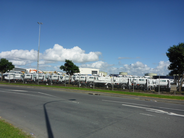 Hundreds of white commercial vehicles everywhere as you got into the Manakau industrial area! After completing the Northland forests to Kerikeri, we decided to stay a few days in Opua. Partly weather-related (heavy rainstorm due) and partly a last catch up with Ria before she headed off overseas for a while (roamingria.weebly.com). Caught the bus down to Akl on Good Friday morning to spend the night in a small budget hotel just off Queen St. Had a wander around that afternoon and went to a movie - obviously not many shops open on GoodFriday! We ended up doing around 20km today so not too strenuous. Track is here. We had to do some shopping at Bivouac, Kathmandhu etc so decided to do that at Newmarket on Sat a.m. as it was just off the trail and the shops didn't open until 1000. We also arranged to meet up with Ben for brunch - while doing his teacher training, he is tutoring at Akl Grammar boarding hostel, which is just up the road.  Evidence of us leaving Akl central behind 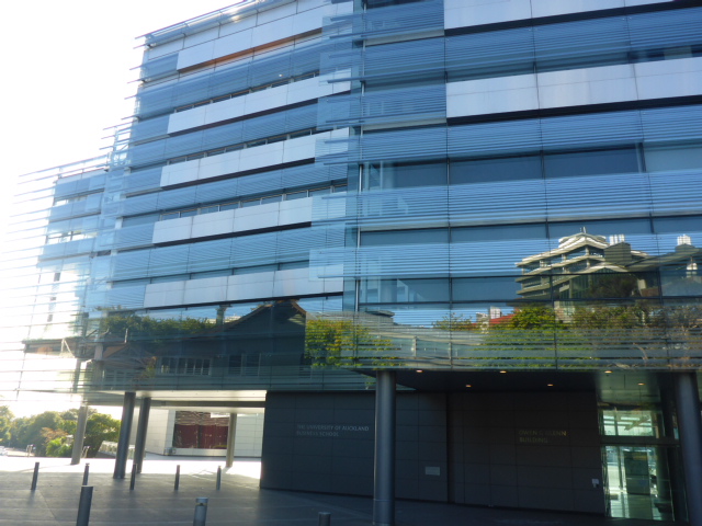 Auckland Uni Business School 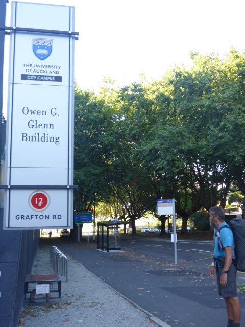 And the "not shy" guy it's named after! 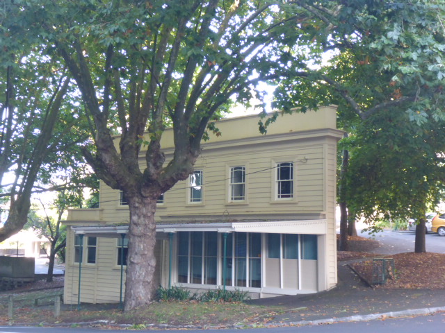 Cute little wedge-shaped corner building. That end walk facing us wouldn't have been 500mm long! Before getting to Newmarket we wandered through the University and the Auckland Domain for a bit of variety. After getting to Newmarket - meeting Ben, doing some shopping (new size 34 hiking shorts for me among other things!!), and having a leisurely brunch, we wandered back onto the trail with Ben and chatted all the way back up to the AGS hostel, which the trail goes right past. It was great to have the chance to catch up with Ben again, and we had a quick look around the AGS hostel before we carried on across Akl towards Onehunga. 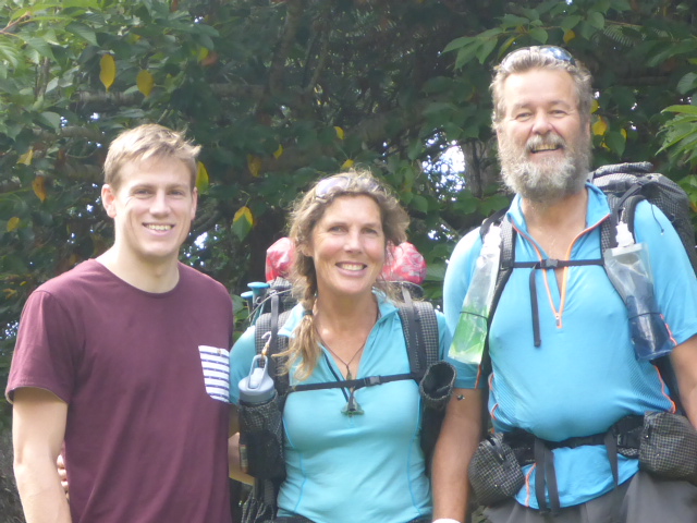 Lovely to catch up with Ben for a couple of hours. 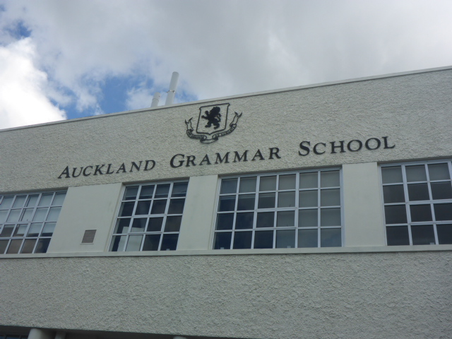 Apart from roads, the next stop was the Mt Eden Domain where the trail took us up to the top of the old crater. There are some great views of Akl from there of course, and it's always nice do get off roads. 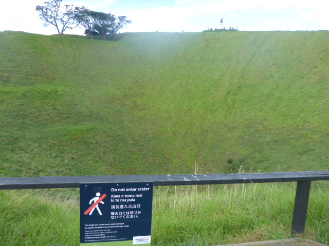 Heading up and around the Mt Eden crater. 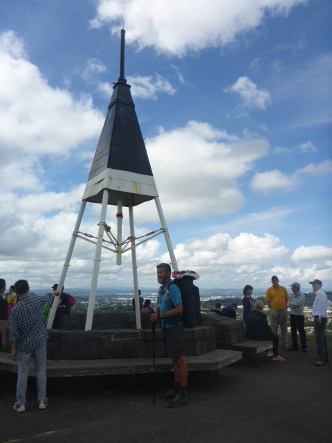 At the top. 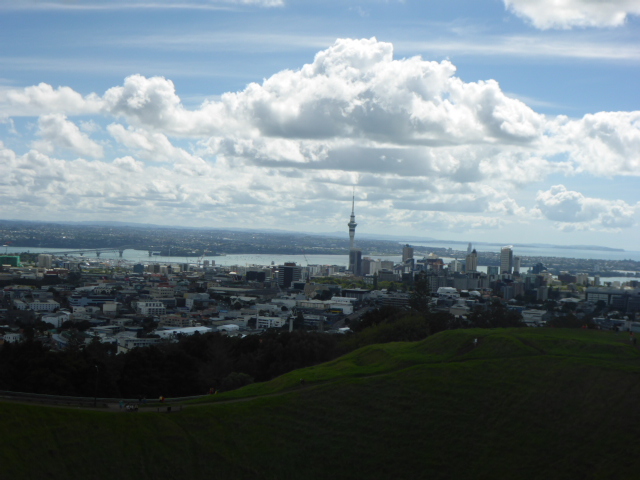 A view back to central Akl from Mt Eden. 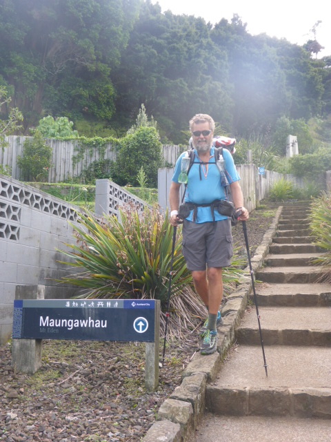 Beats doing more steps! Out of Mt Eden Reserve. On to the College of Education and through their grounds, past the Easter Show at the racecourse (busy!) and southeast through to Cornwall Park. We had a bit of an issue with the frame of B's pack as we went past the racecourse but a bit of temporary roadside repair got us underway again. Then it was a pleasant walk up through Cornwall Park and then onto One Tree Hill - which we skirted around the side of rather than "summitting"!  Cornwall Park. 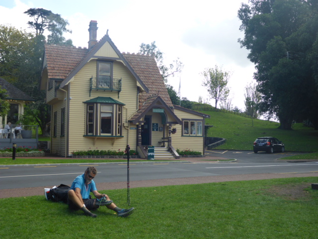 Stone in shoe - Cornwall Park.  Lots of animals in some of these reserves. Then it was mostly roads to Onehunga, with a small diversion through Jellicoe Park. We walked about 1.5km off trail to Ella's flat where we were staying the night. Ella wasn't there but had arranged a key for us - what a lovely niece! :-) We wandered back into Onehunga for yummy Thai dinner before heading back to, among other things, do a repair on B's pack to see if we could stop the frame from coming apart. So again we had a need to sleep in tonight! Luxury hiking?  Short diversion through Jellicoe Park just before Onehunga  Old library building just off Onehunga Mall - now a cafe 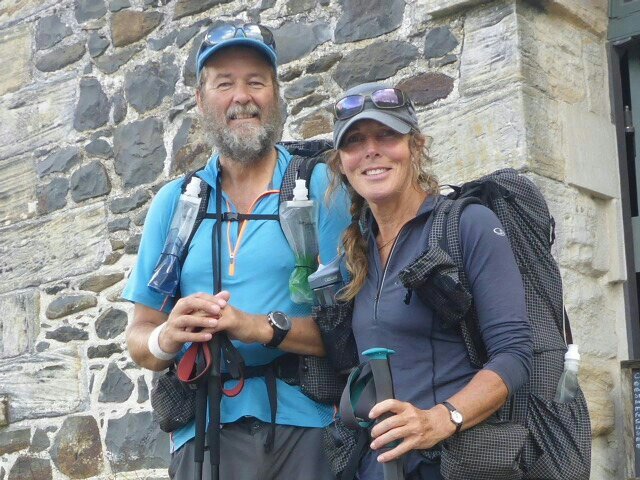 Completed, Cape Reinga to Auckland B here:) The journey from Cape Reinga to Auckland has many, many wonderful memories for us. There are loads of good, a very few not so good and one big sad. The good would have to be experiencing the pure nature of the region. From the exquisite coastlines, views from way up high and the bush. The New Zealand native bush is simply breath taking. Majestic trees, lush undergrowth and variety of the color green from so many different species. 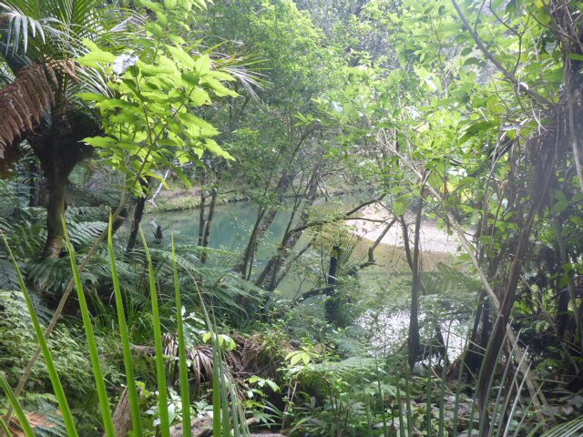 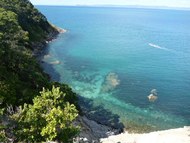 We saw examples of farms being well managed with livestock in great condition. The not so good on that side was coming across a very few examples of poor farming practices with animals roaming due to ineffective fencing and a variety of classes of stock grazing together. In these cases it didn't look like NAIT (National Animal Identification Tracing) scheme had had much success as I struggled to identify any electronic tags on cattle. Due to the nature of TA, we walk along a fair number of roads. Some are busy town/city roads, others are country and often very remote. I quite enjoy the roads as you get to see communities and different lifestyles however, I continue to be shocked at seeing how much of man's waste gets dumped along the routes. Just biffed out the car window or at times, deliberate dumping of household waste. Definitely not a great look for our beautiful country. The big sad for me was the lack of bird life in the Northland Forests. Where are the birds?!? There was no doubt that when we saw evidence of predator control in place, we heard and saw more birds. Some areas are really benefiting from active DoC and volunteer work but goodness, seeing the sheer size and terrain of the forests, means you understand how hard it is to get possums, rats, stoats etc under control. We did see many examples away from the forests both coastal and farmland, where areas have been fenced off for regeneration of foliage and/or protection of bird life. We have come across individuals and community groups actively involved in addressing the problems native bush and bird life are facing. For example; Puketi Forest (near Kerikeri), Bush Bay Action in Paihia/Opua, Back Yard Kiwi at Whangarei Heads, Hilton and Melva Ward at The Riverbank, Ngunguru. It would be wonderful to have more of these groups throughout New Zealand. 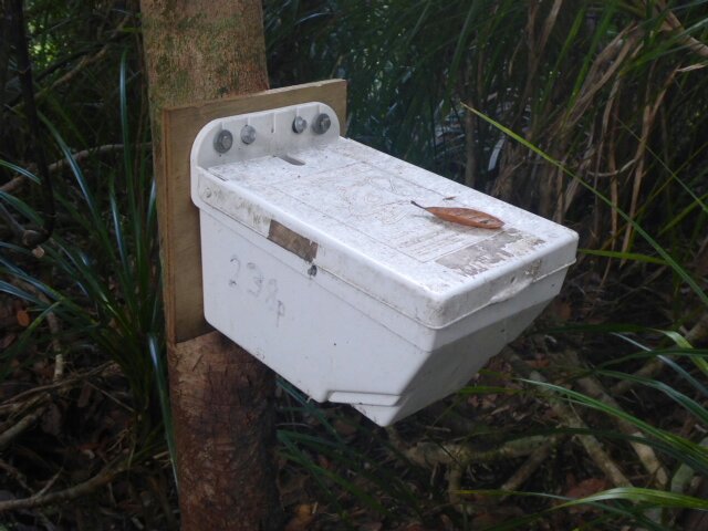 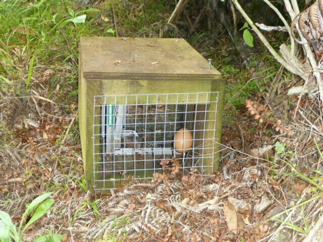 Stoat traps With the Northland Forests being such a big part of the Northland experience my MVEFB (most valuable, entertaining and friendly bird) has goes to the Piwakawaka (Fantail). These were the birds we heard and saw the most and loved that they were happy to flit along with us for awhile. 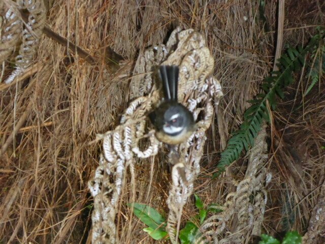 Piwakawaka (Fantail) Walking through Northland has been so enriching. Not only experiencing the beautiful land, we have met warm and generous people who we will continue to be in connect with. It is, without doubt, already been, quite 'the journey'.
:)B |

AuthorBelinda and Anthony (aka Tony) Hadfield made a decision, in their late 50's, to do something a "bit different" and walk New Zealand's 3000km Te Araroa Trail over summer 2015/16 - although updates will now tell you that this plan will take longer now!!. As the old saying goes - "don't leave home 'til you've seen the country"!! Archives
January 2018
Categories |
 RSS Feed