|
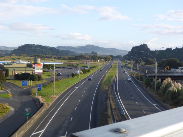
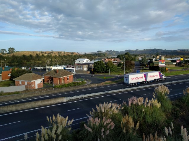
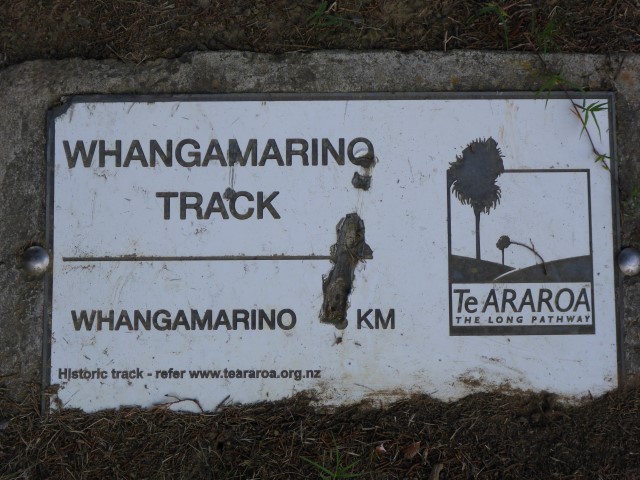
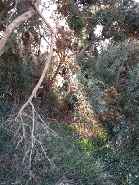
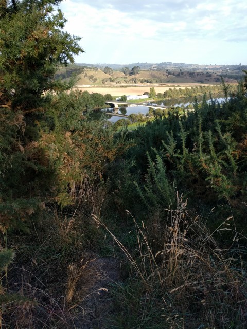
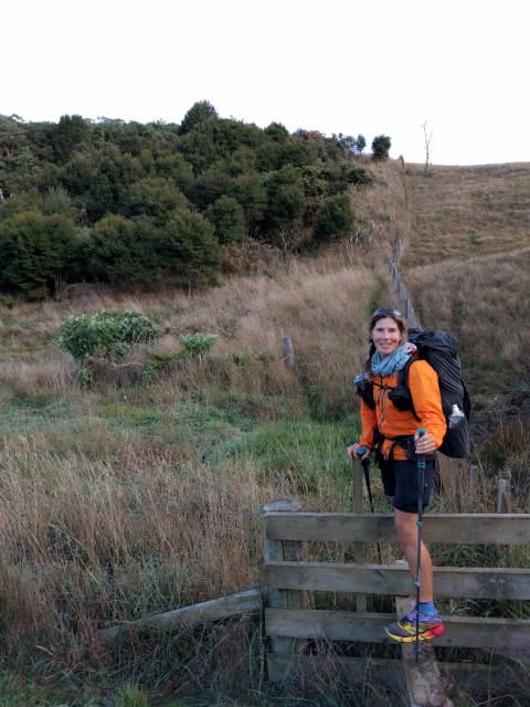
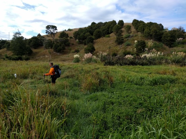
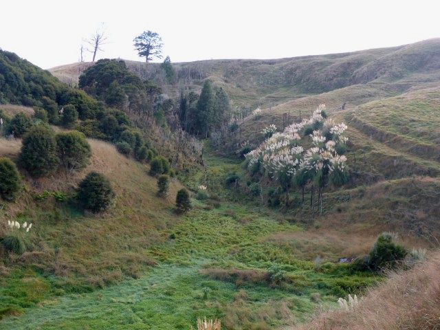
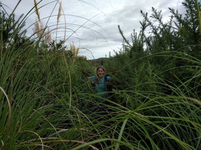
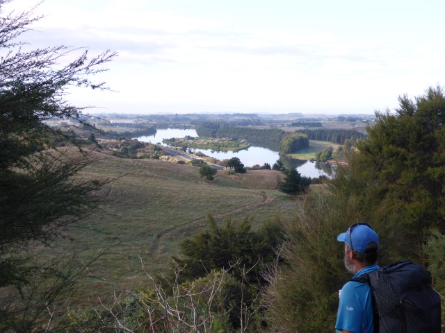
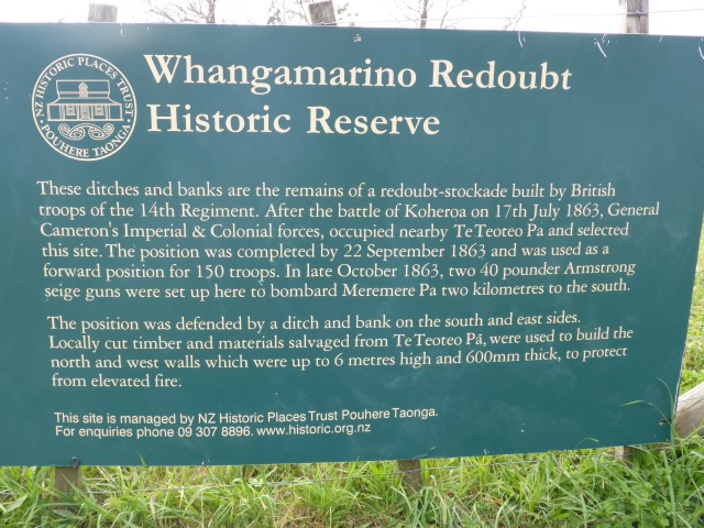
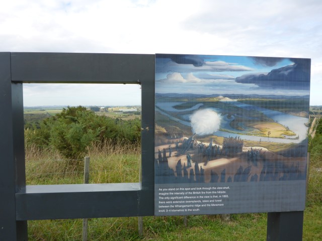
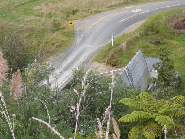
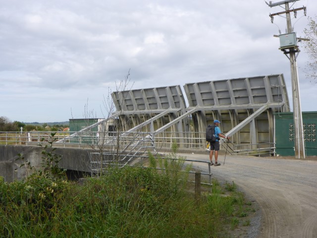
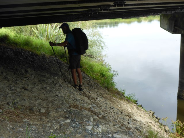
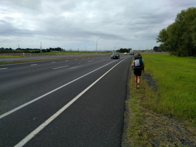
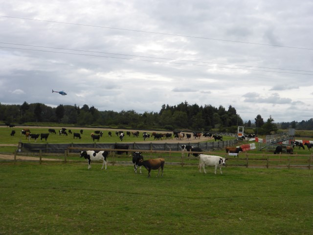
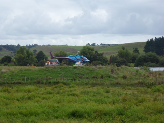
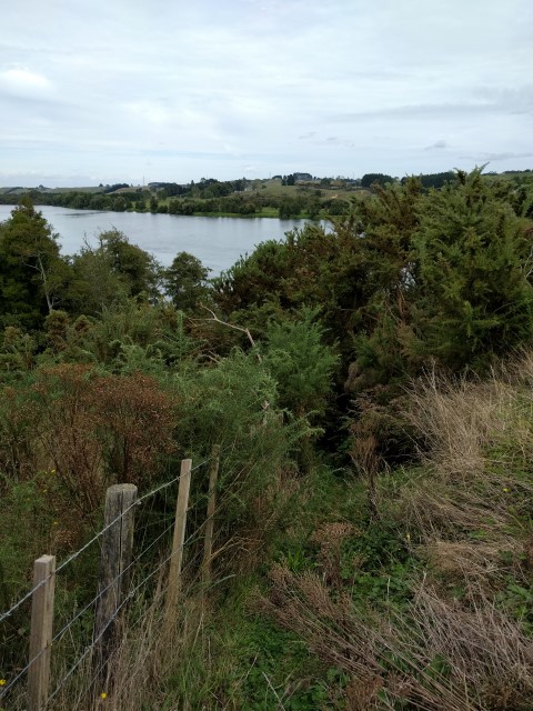
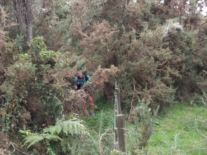
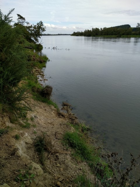
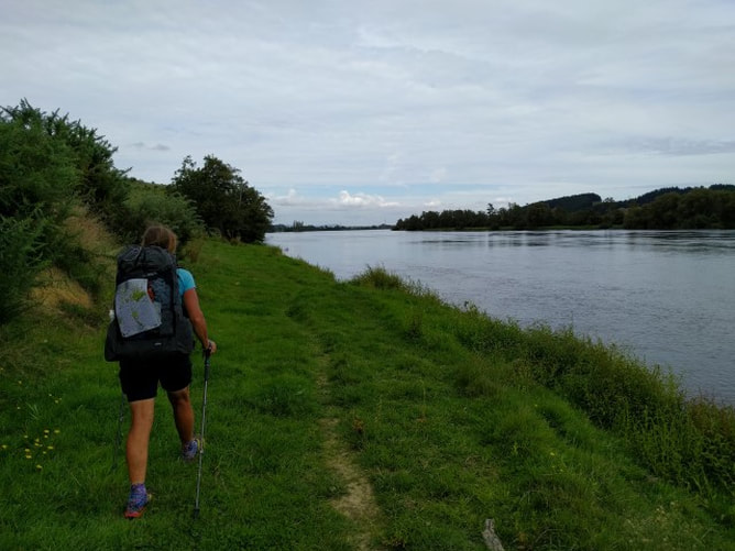
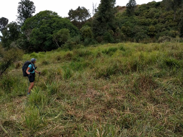
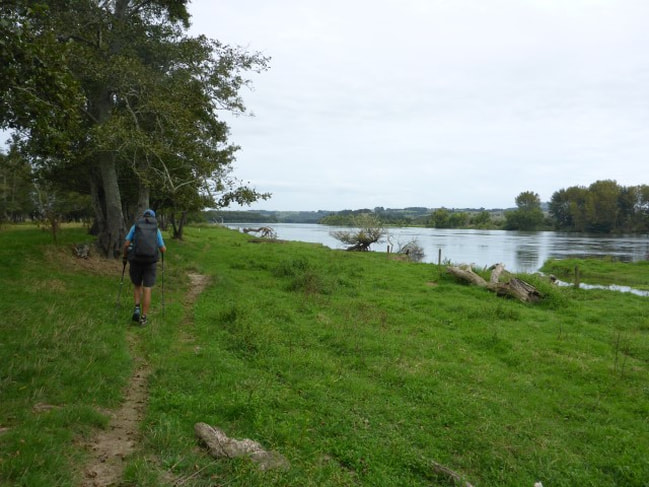
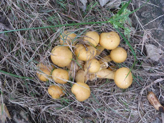
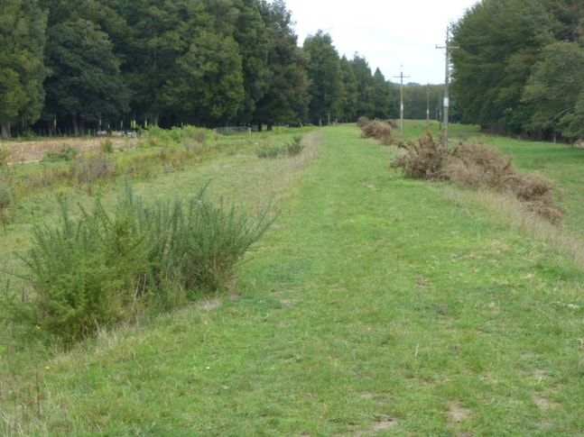
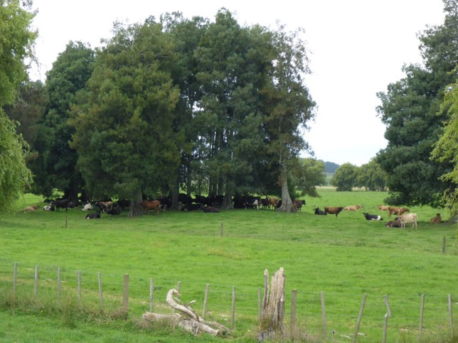
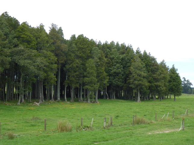
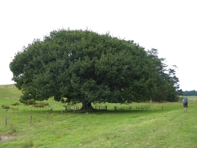
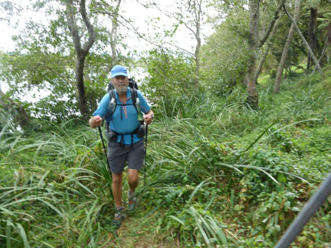
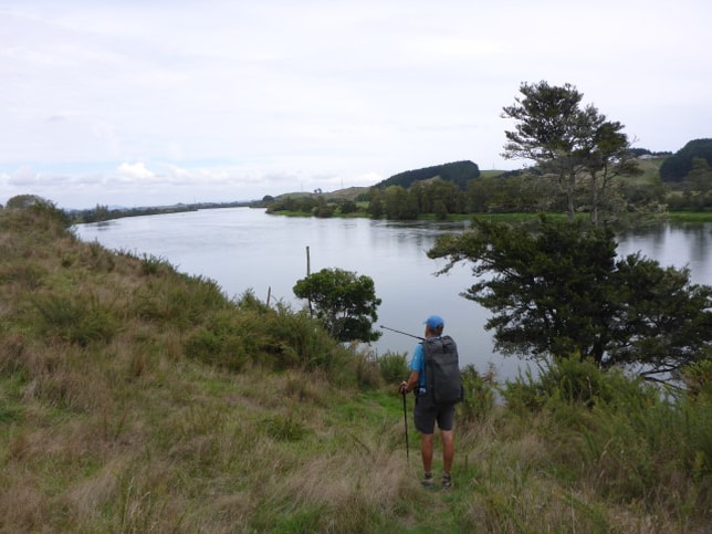
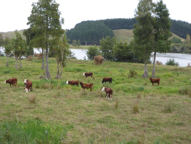
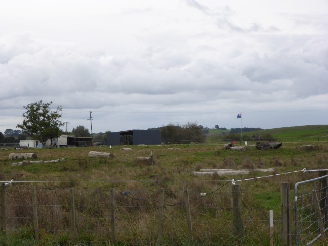
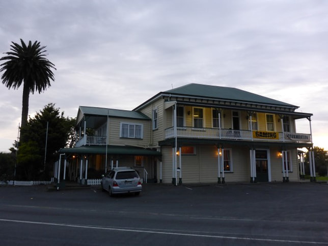
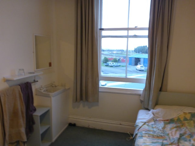
Had a reasonably leisurely start today, leaving at 0845 after a final chat with Sandra. It wasn’t a long or hard hike today so that gave us a bit of flexibility. Ended up doing about 25km to the Rangiriri Hotel, arriving about 1700. The day's GPS track is here. While we knew most of the day was fairly flat, it started with a walk over SH1 on the overbridge and into some scrubby hills on the western side of SH1 - the Whangamarino Redoubt track. We headed up into the hills and immediately found ourselves doing a circle in the gorse!! Somehow we must have missed a marker - not a good start after yesterday afternoon's mistake!! Luckily this one was not huge and only cost us 10-15 minutes! Headed off on the right track again following the trusty orange markers more closely - up and down hills, through scrub, pasture and swampy bits. Had some good views of the Whangamarino wetlands which is apparently the second largest wetland complex in the North Island (no idea which is the largest. There's a quiz question!!). At the end of this bit was the Whangamarino Redoubt - the remains of a British garrison used during the Waikato wars to house troops and the guns used to pound a Maori stronghold a couple of kms away near Meremere. Then it was down again, under the rail and road bridges and walking alongside SH1 for a couple of kms to Meremere. Once at Meremere, we got away from SH1 onto the banks of the Waikato River - with the trail notes saying to carry on "as close as practicable to the river"!! This track essentially followed the river to Rangiriri. Walking was a mixture of stopbanks and farmland with occasional swampy areas. We also had a couple of smallish hills to climb (30m or so only!) along the way where it was not possible to walk right along the river - this did at least allow for more views on occasions. As the photos show, it also gave us the opportunity to bash through more gorse!! This took us past the old Meremere power station, the old dragway and stock car tracks just south of Meremere, and on toward Rangiriri. It was about 17km from Dragway Rd to Rangiriri and most of this was on stopbanks, with an occasional switch into a rural road that ran parallel. Like earlier stopbanks, most of these are farmed so sometimes they are quite smooth and other times they can have longer grass and/or more rutted surfaces where cows have been traipsing along them - so variable going. As we got to Rangiriri, there were massive roadworks (yet more new bits of the Waikato Expressway) which caused us some confusion in terms of how to actually get to the Rangiriri hotel where we had elected to stop for the night! Eventually we sorted it out - having to shoot across SH1 (!!) and then alongside it, behind an Armco barrier, for about 400m to turn off to the pub. The pub was a real old-fashioned variety accommodation. Old stairway up to a series of old but tidy enough rooms, passageway that sloped distinctly etc... The beer tasted good however, and our pub meal was great - so all in all not a bad experience!!
1 Comment
|
AuthorBelinda and Anthony (aka Tony) Hadfield made a decision, in their late 50's, to do something a "bit different" and walk New Zealand's 3000km Te Araroa Trail over summer 2015/16 - although updates will now tell you that this plan will take longer now!!. As the old saying goes - "don't leave home 'til you've seen the country"!! Archives
January 2018
Categories |
 RSS Feed