|
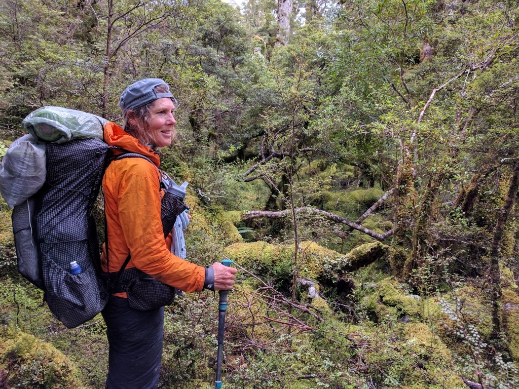
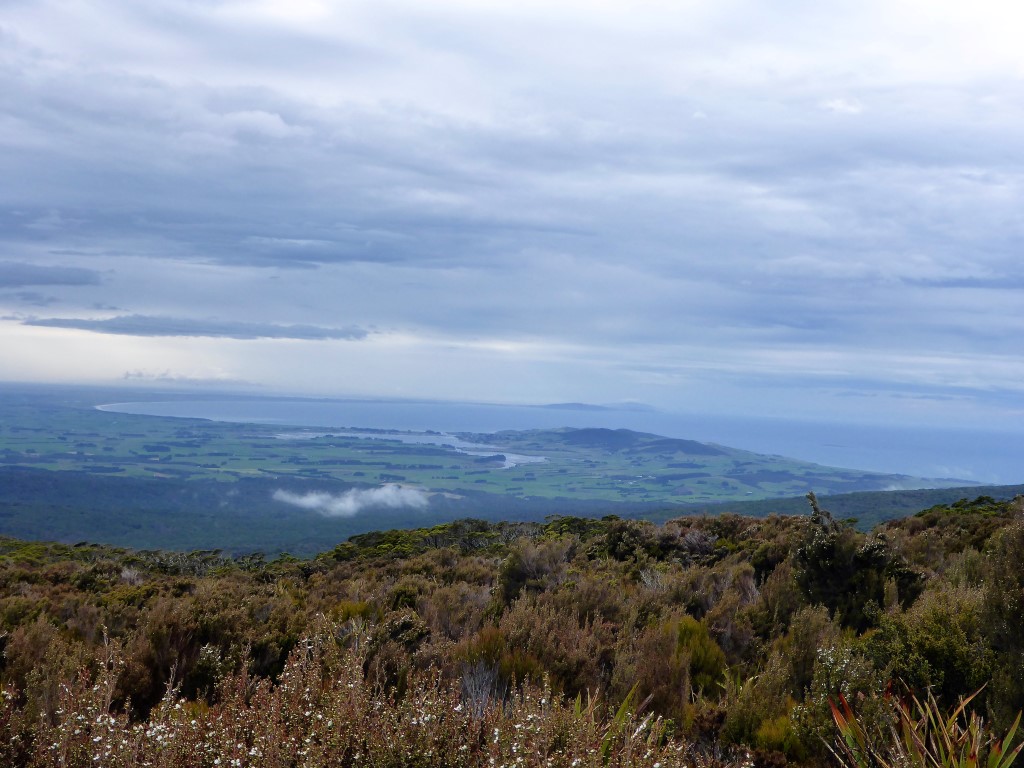
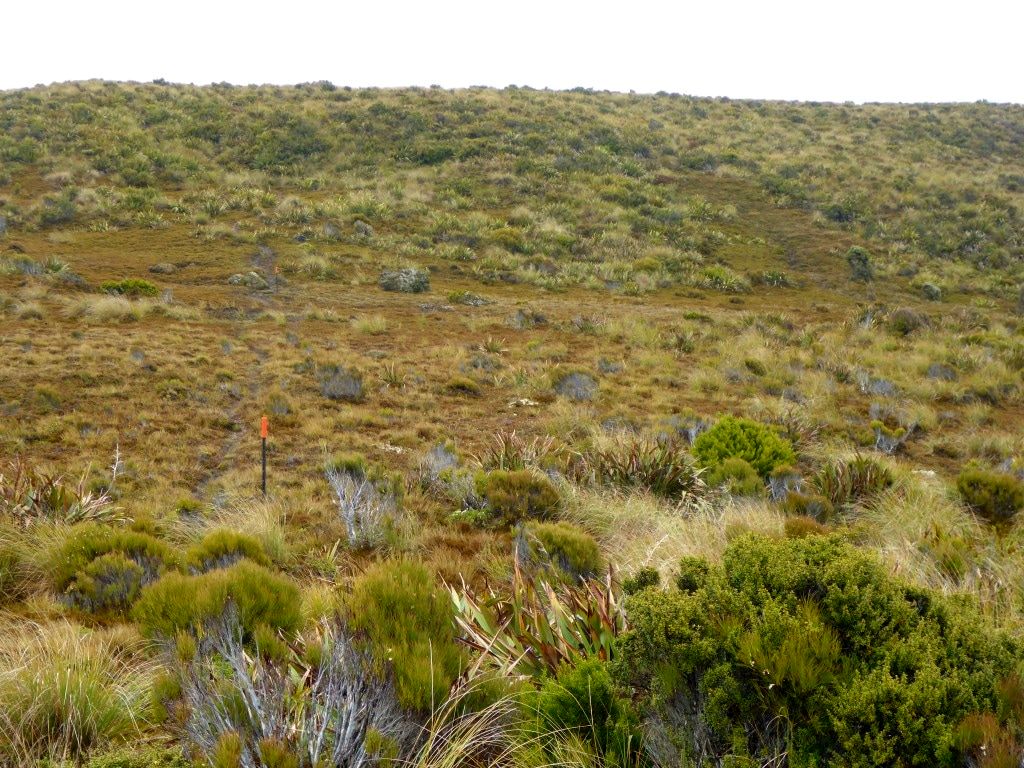
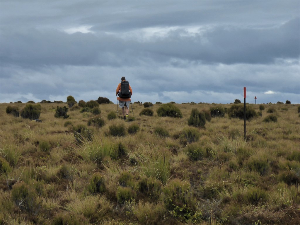
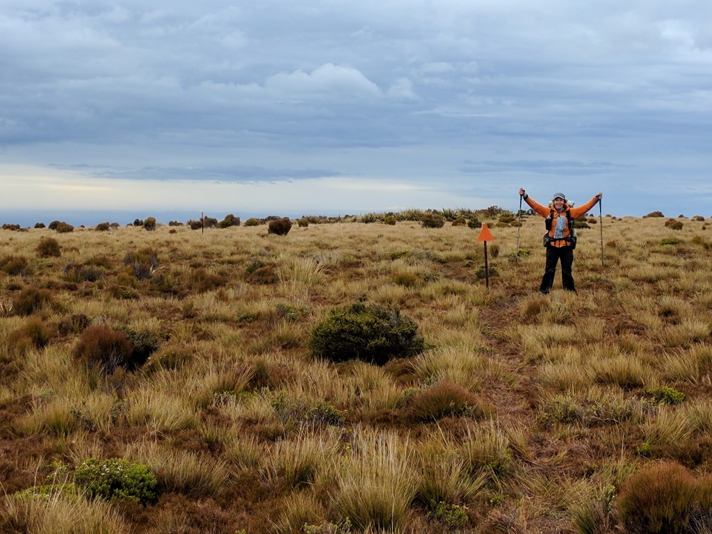
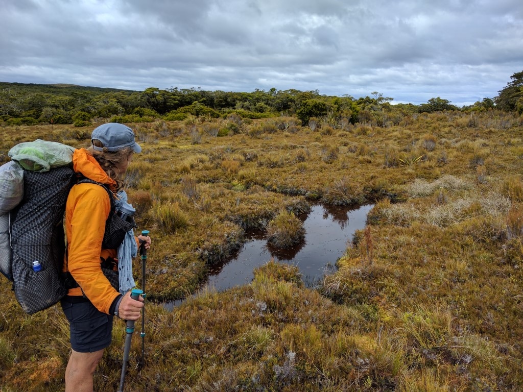
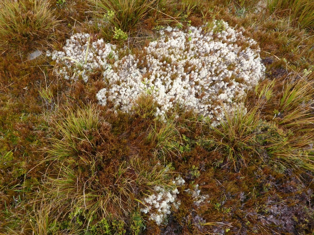
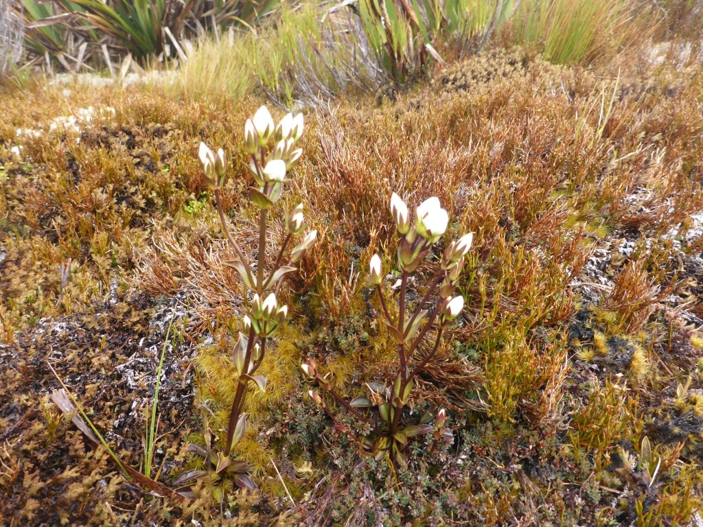
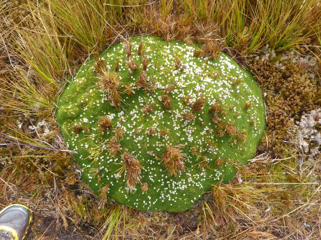
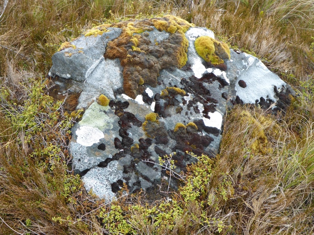
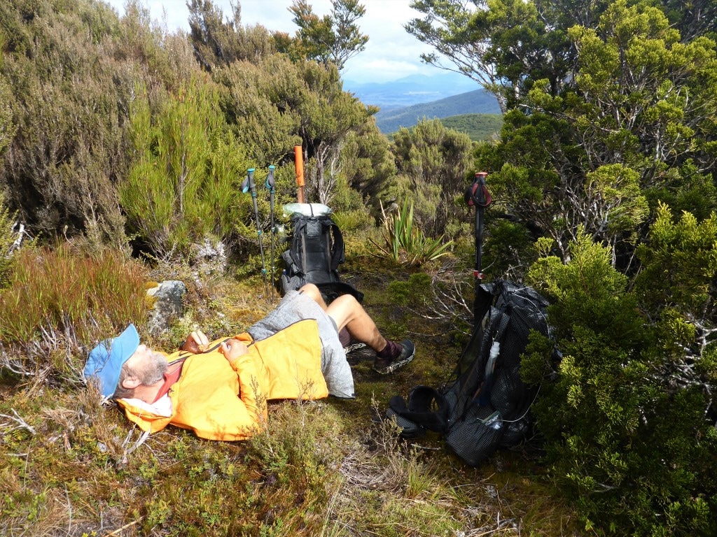
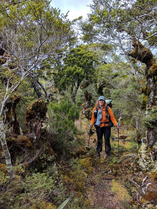
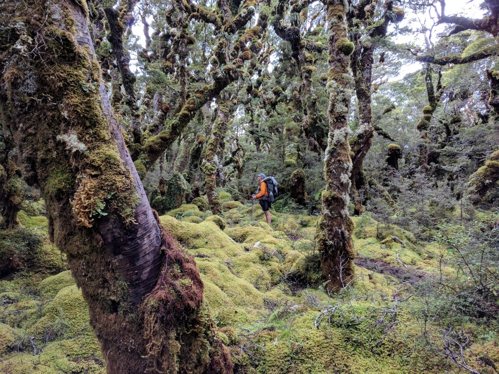
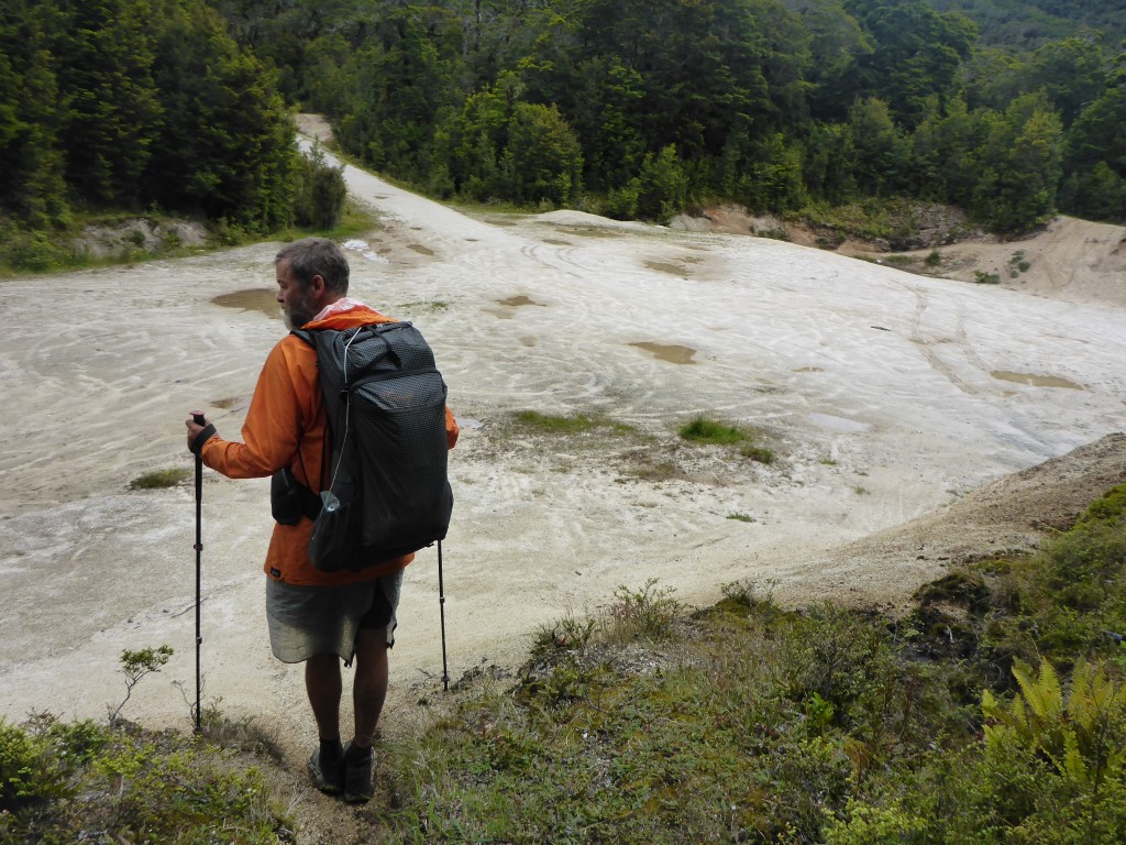
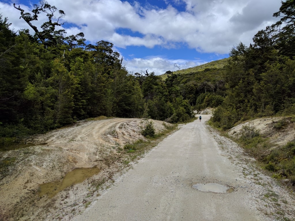
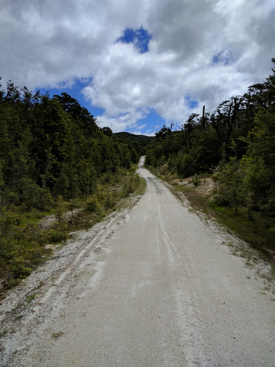
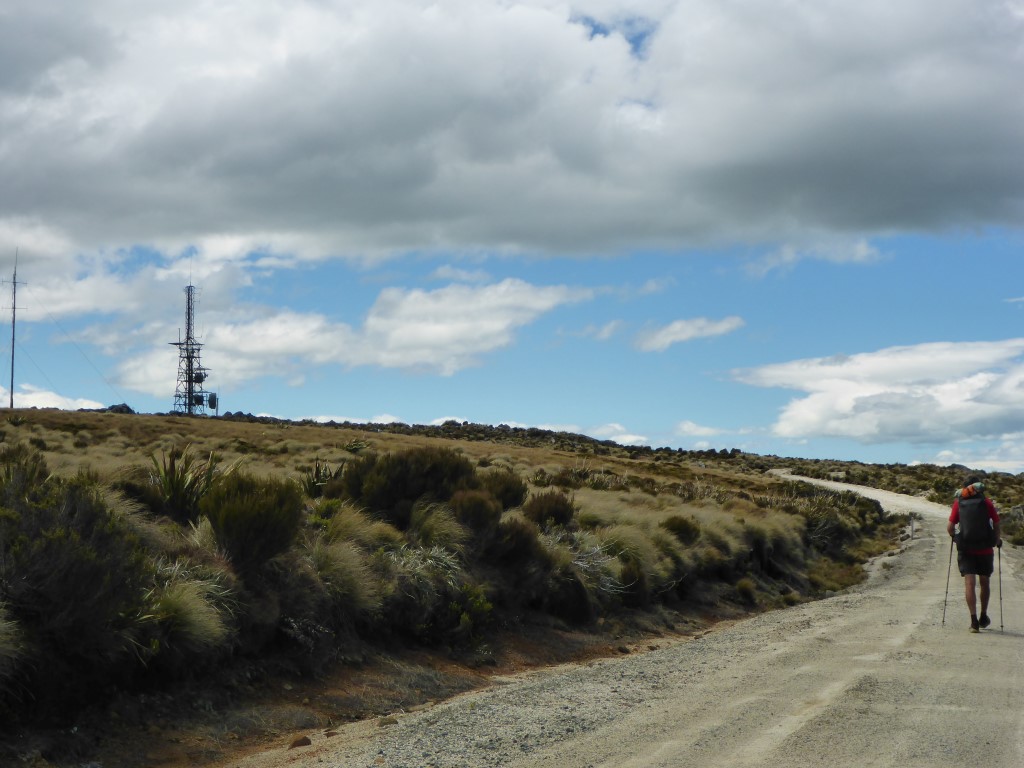
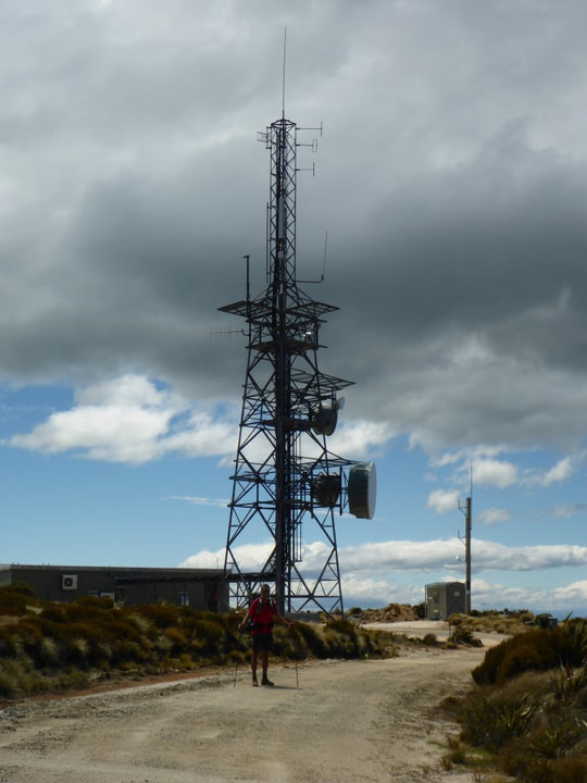
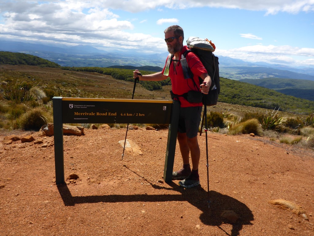
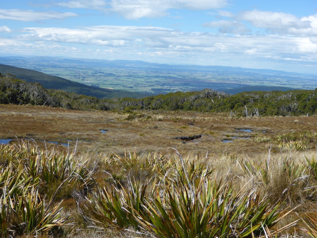
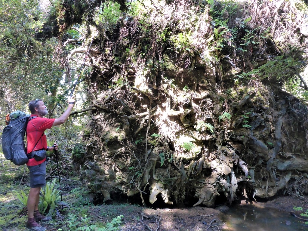
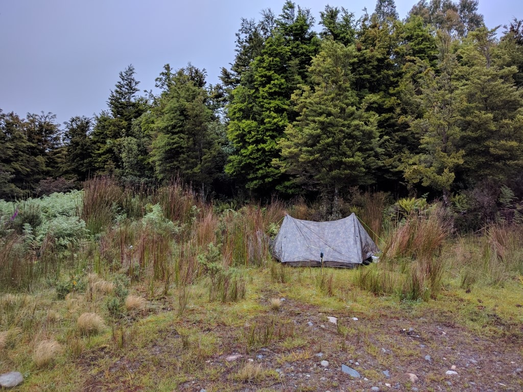
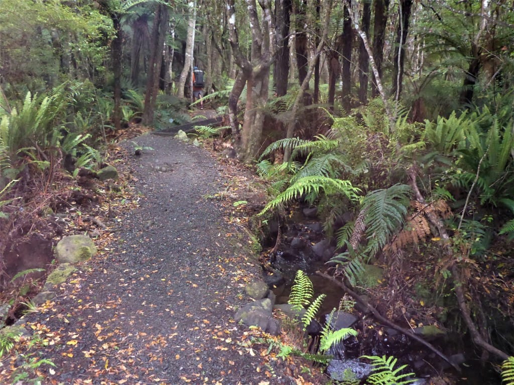
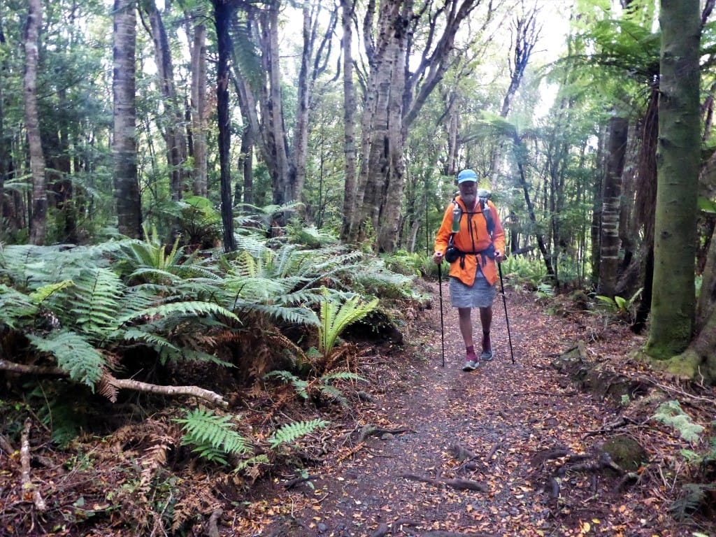
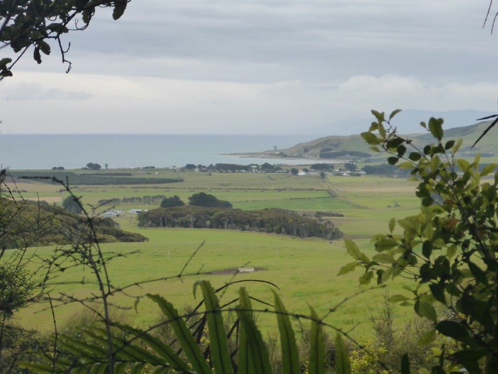
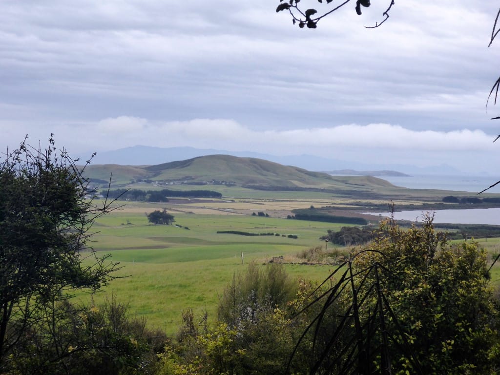
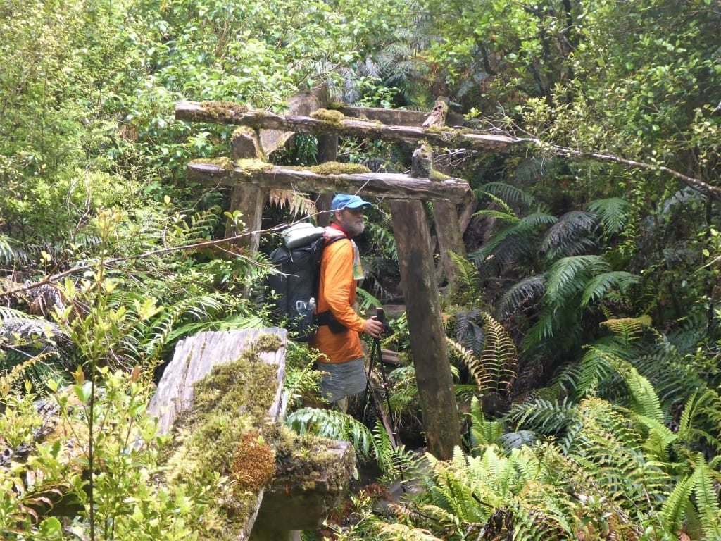
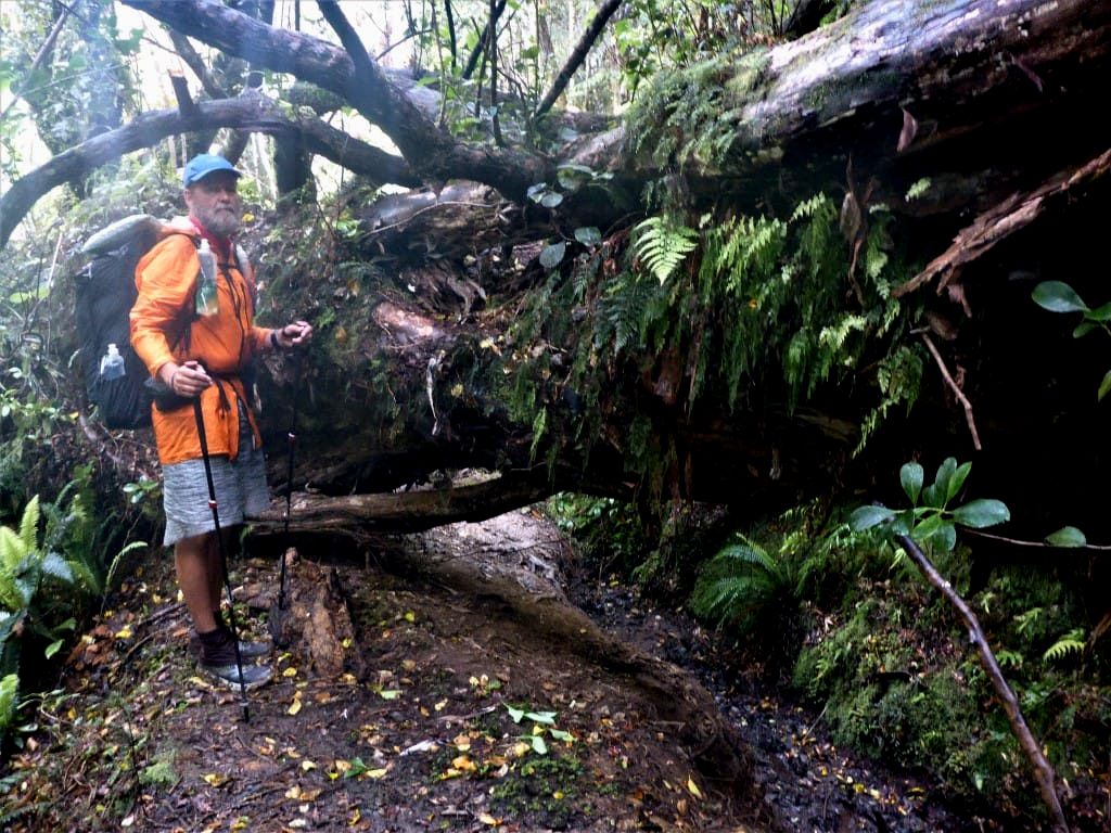
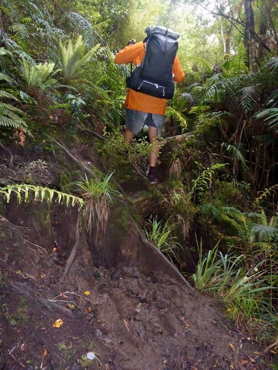
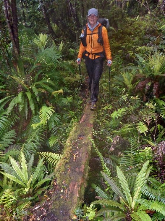
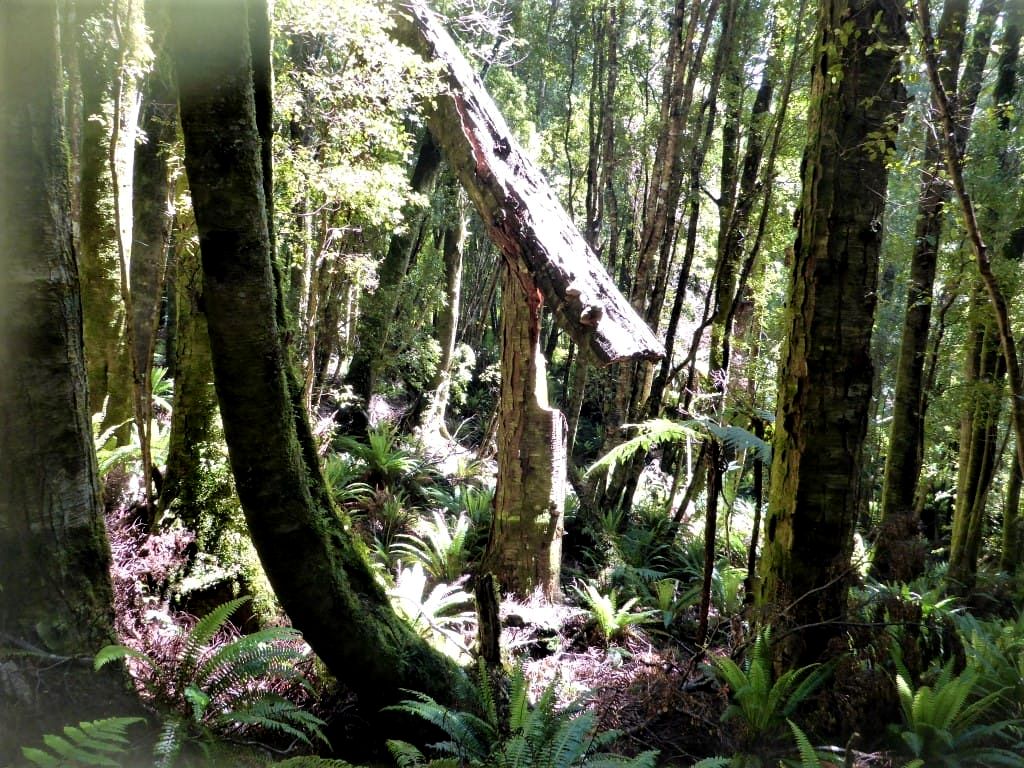
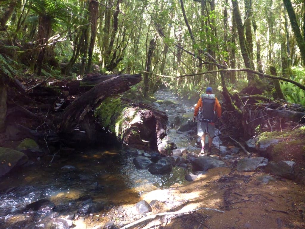
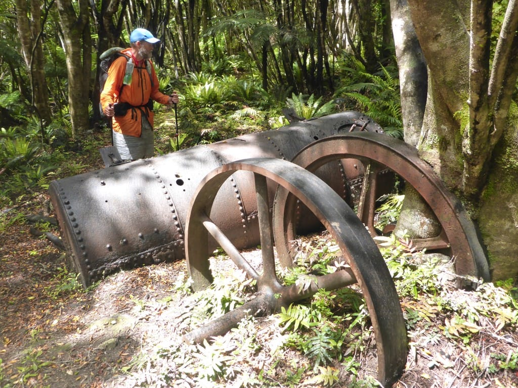
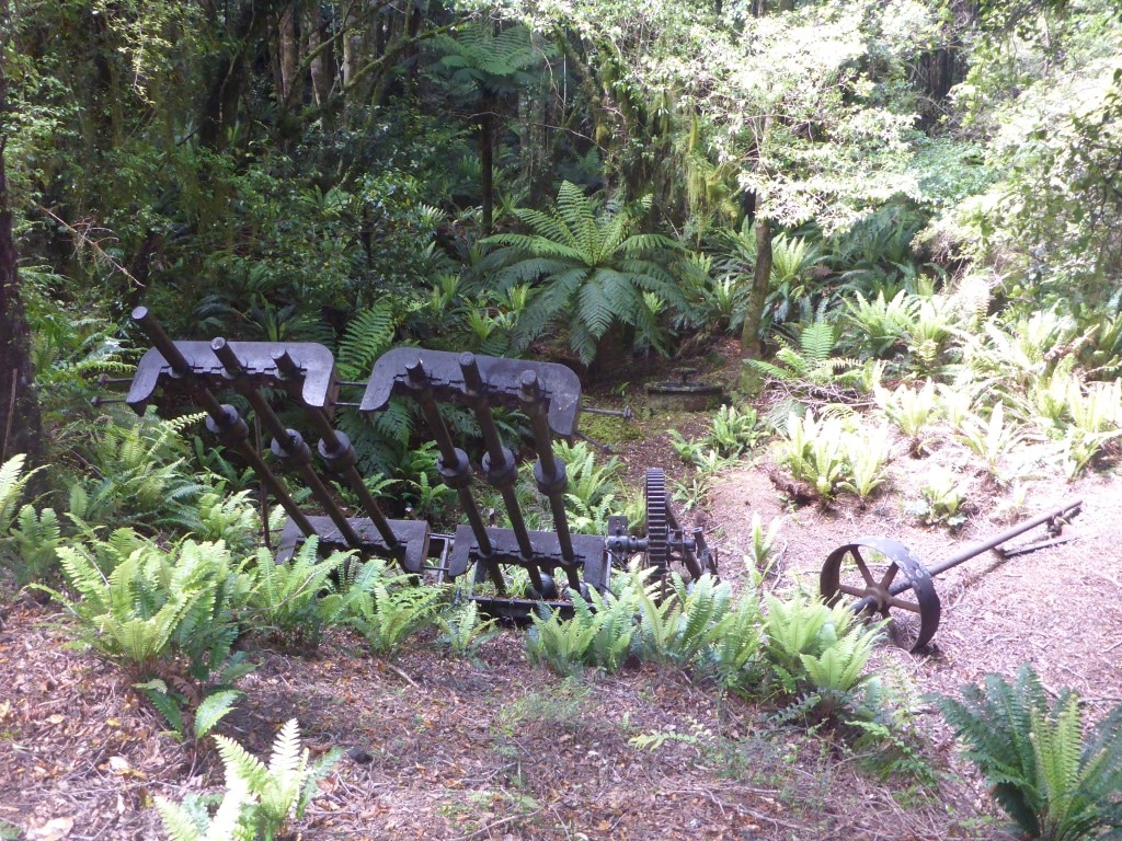
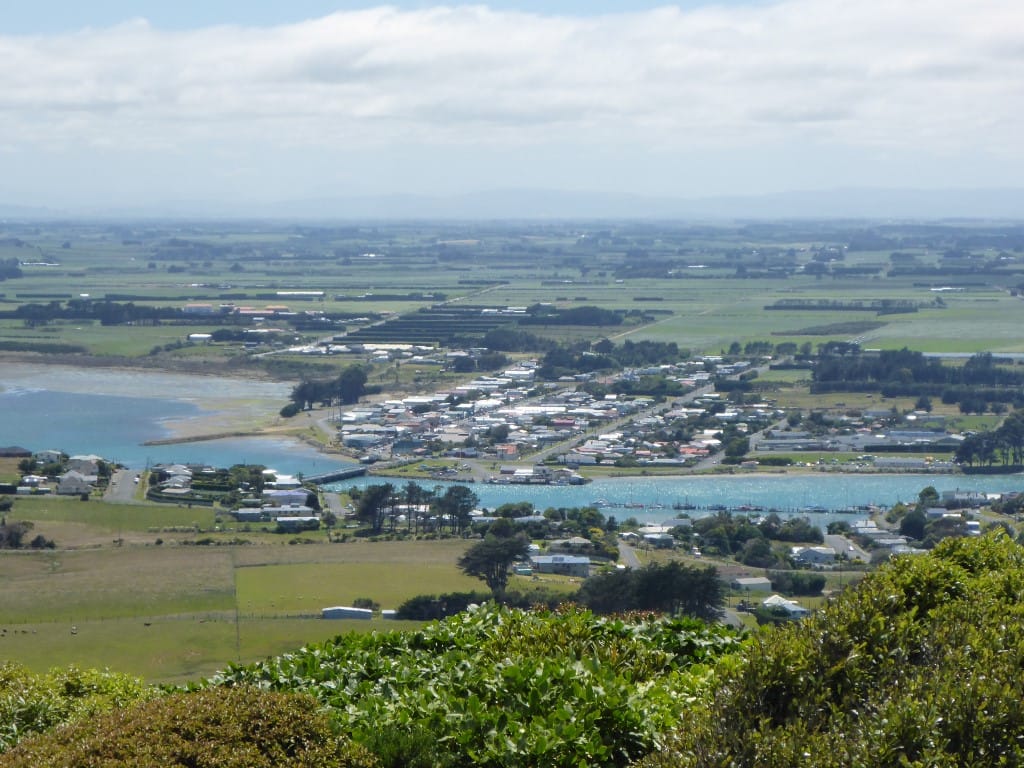
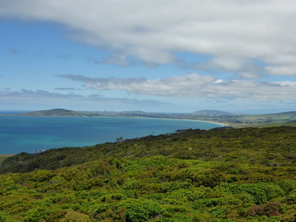
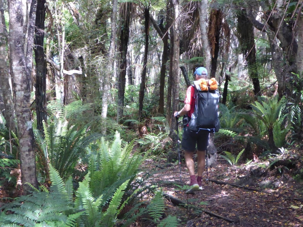
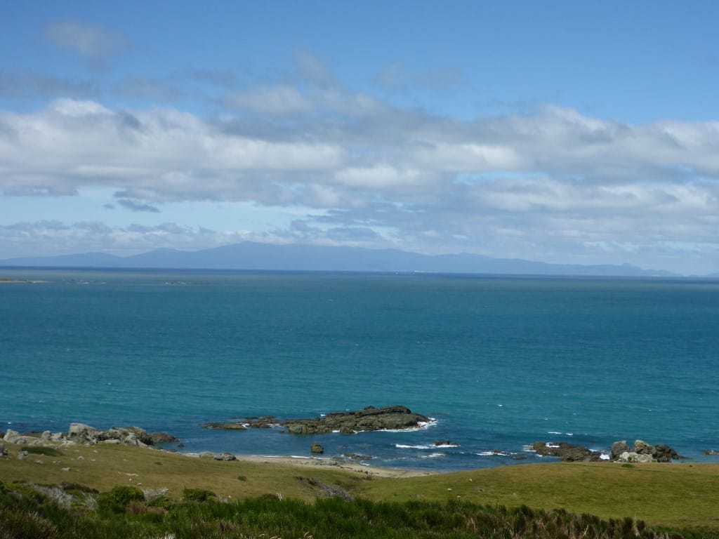
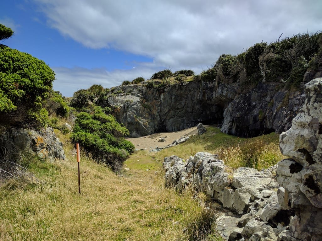
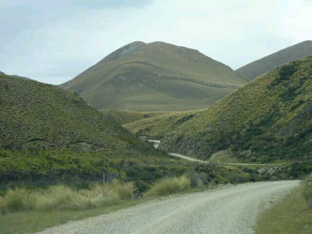
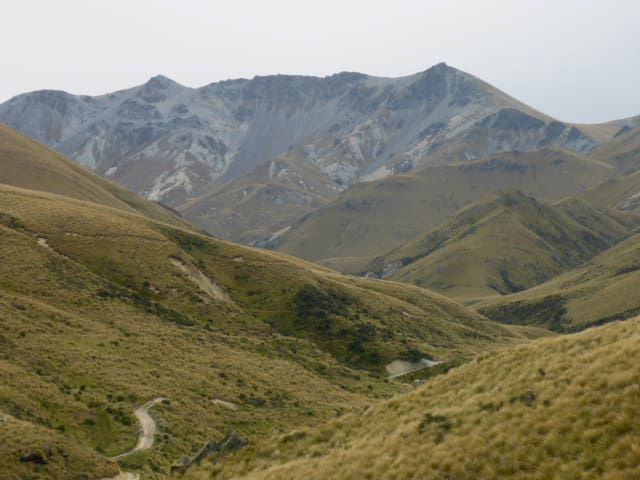
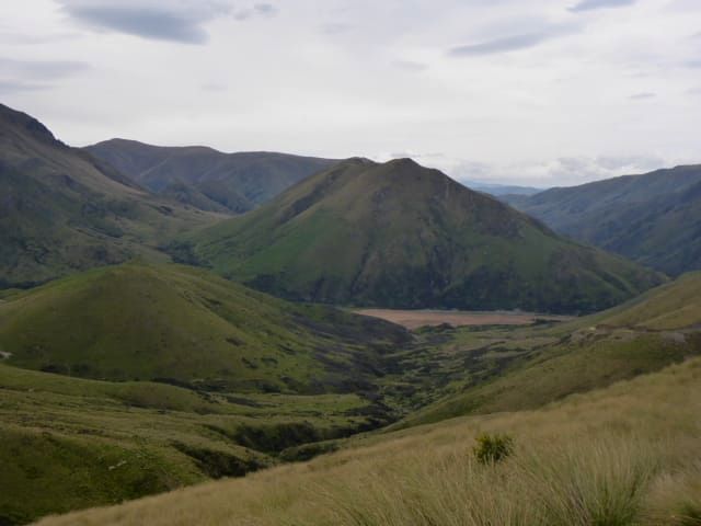
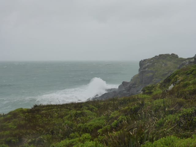
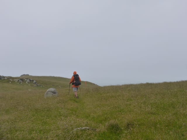
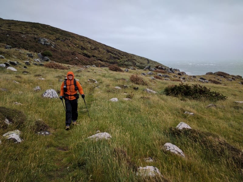
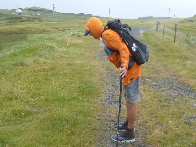
We weren’t entirely sure how far we would get today especially with my back not improving at all. We ended up doing about 20km in just under 9 hours, stopping at the head of Merrivale Rd just as we left the Longwood Forest. The day’s GPS data is here. The first half of the day (leaving the hut about 0800) involved climbing from the hut (about 430m asl) up onto Longwood Ridge and heading up and down along that ridge for about 3 hours (max about 760m asl). This was a mix of “goblin” forest, lighter scrub as you got higher and, above the tree/scrub line, the marshy tussocky “tops”. Despite everything being quite wet and muddy underfoot (although not raining!) it was quite spectacular to walk through from our perspective. As noted, the forest bits were a bit “goblin-like” and the marshy bits could also have been LOTR settings as well!! From the tops, we also got some good views back towards the south coast that we had come along over the last few days - as well as to the north where we were heading. The last hour or so of this first 5 hour stretch was down through forest to an old lime-crush quarry (back down to around 450m asl). This was obviously used to provide the road surface for part of the forestry road that comes all the way from the Pourakino Valley to the east, to service the transmission towers atop Bald Hill. We stopped here for some lunch for and hour or so and I took the opportunity to lie down in the sun (yes, sun!!) to try and rest my back. We then set off again for the one hour, 3.8km trek up to Bald Hill - a 350m climb (to 805m asl). This was on the aforementioned lime-crush road surface so was nice underfoot albeit the climb was unrelenting, with no flat spots to “take it easy” until right near the top!! We stopped at the tower behind one of the buildings, out of the wind, and updated info on our phones - as well as having a chat with Amelia - for 15 minutes or so. Handy having a cellphone site atop the hill as well!!! It was then back down through similar terrain as earlier in the day, starting with marsh and tussock heading down eventually back into forest. It was again muddy and reasonably steep in the odd place. Belinda had a first for her today - she caught her foot on a very small stump on the track and did a downhill “faceplant”!! Luckily she was OK (years of practice falling off horses!!) and after a short break we were underway again. We thought afterwards that a photo might have been appropriate?! As the day wore on, I had a couple of slips in mud as well that were a real issue for my back. But we negotiated the forest and finally arrived out of the forest section onto Merrivale Road (a gravel 4wd track at this stage) at about 1700. As I was pretty sore, we decided to pitch our tent here for the night since it was still reasonably fine weather. It took a while to set up - I was pretty useless! We were going to cook dinner but light rain set in so we hopped in the tent for a bit. After a good chat about the state of my back we took the hard decision that to go any further was pointless at this stage. Once I was up and walking I was not too bad, but I wasn’t enjoying it much. Belinda was having to help me get my shoes and socks on and off and get my pack on and off also, as well as doing most of the set-up and take-down of the camp - she had also taken one of my food bags for the first half of today as well - which was not sustainable. So, disappointing as it was, that was the decision. I rang our nephew Sam in Gore, who had offered to help if we needed it (school holidays for a secondary school teacher luckily!), and asked if we could take him up on his offer. So we arranged to meet Sam at the intersection of Merrivale and Otautau-Tuatapere Rds at 1100 in the morning. This would give us an 8.5km walk in the morning (less than two hours). He also offered to take us to Invercargill to catch a plane which made things much easier for us - thanks Sam :-).
Having made the tough decision, we decided that we didn’t need a cooked dinner (still raining!) so we had a party with roasted cashews and pork crackling, followed by a Bounty Bar for dessert!! Trying to make the most of a bad situation!! :-) It was fairly chilly so we soon wrapped up in the sleeping bags and dozed off!
0 Comments
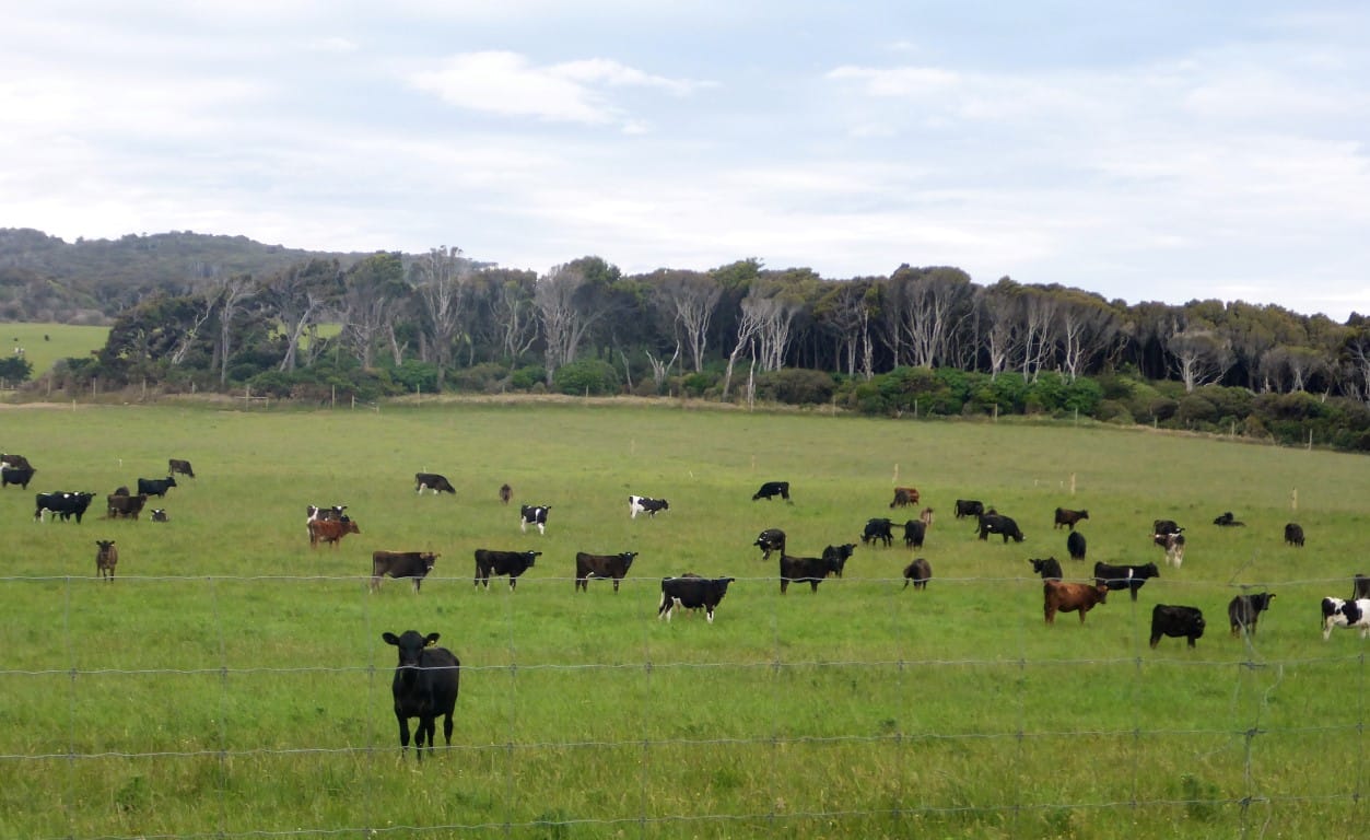
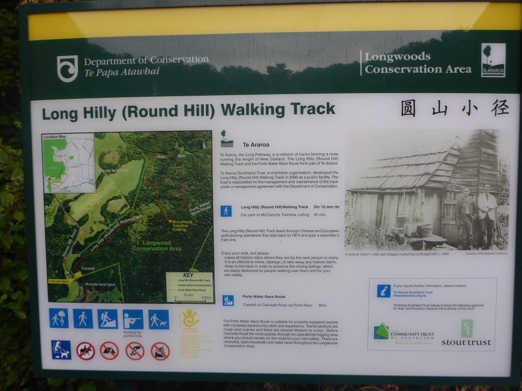
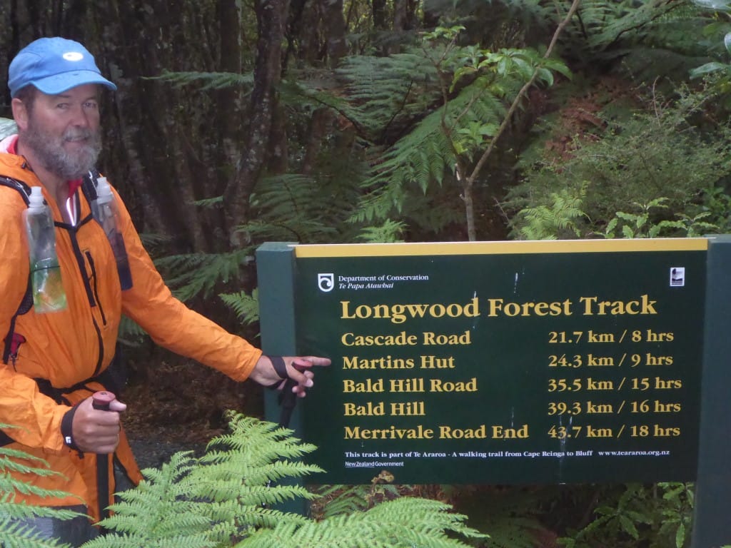
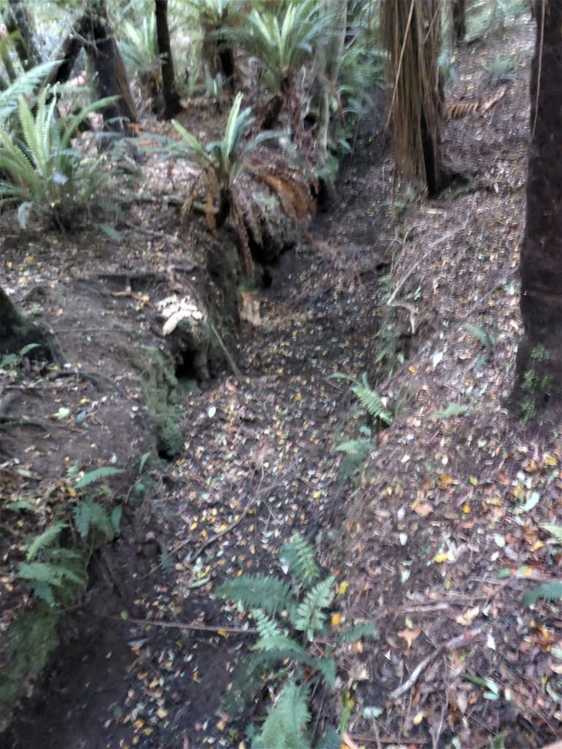
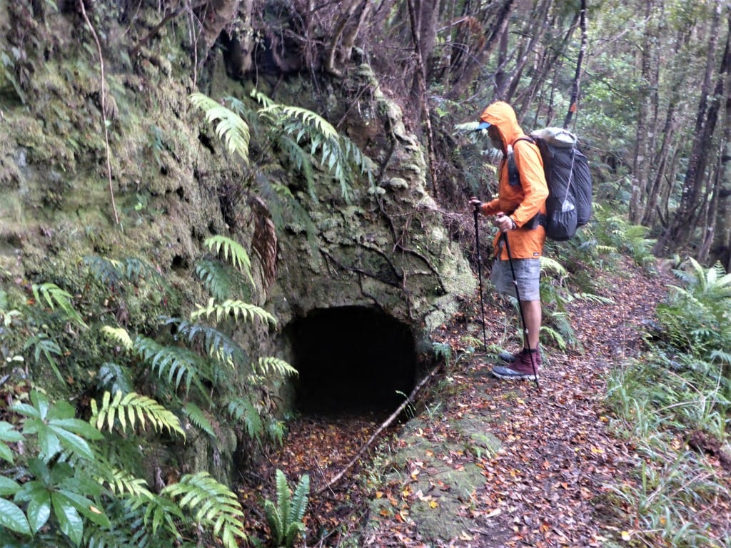
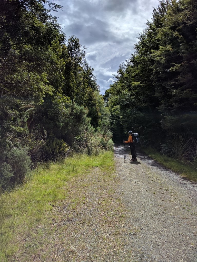
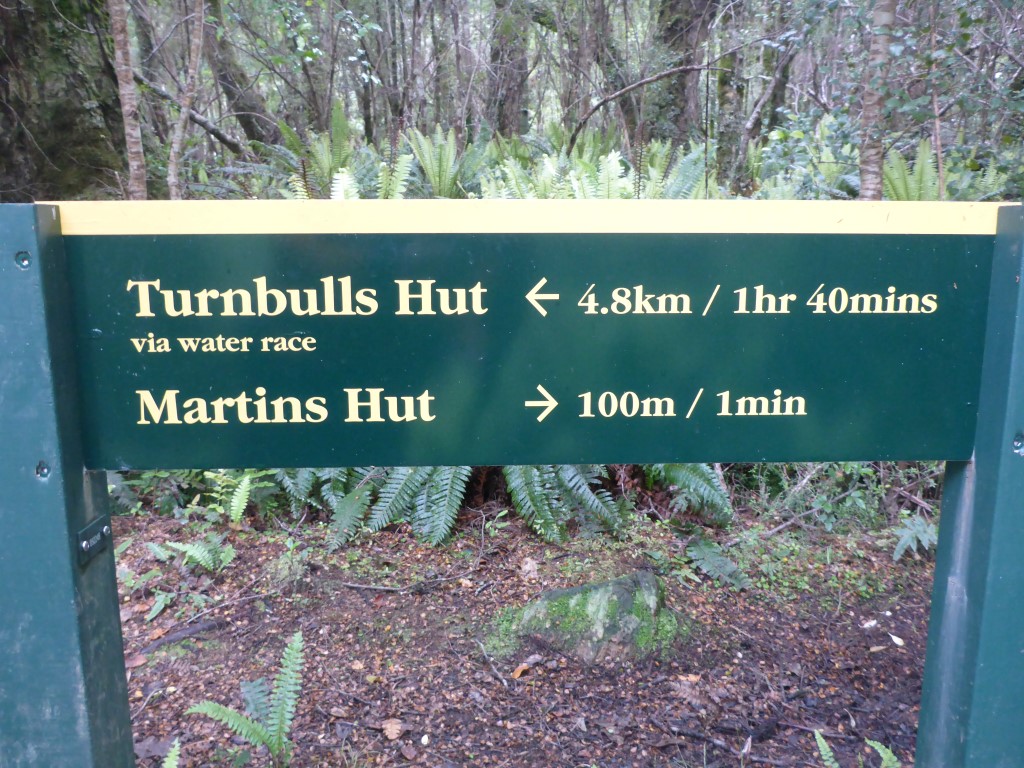
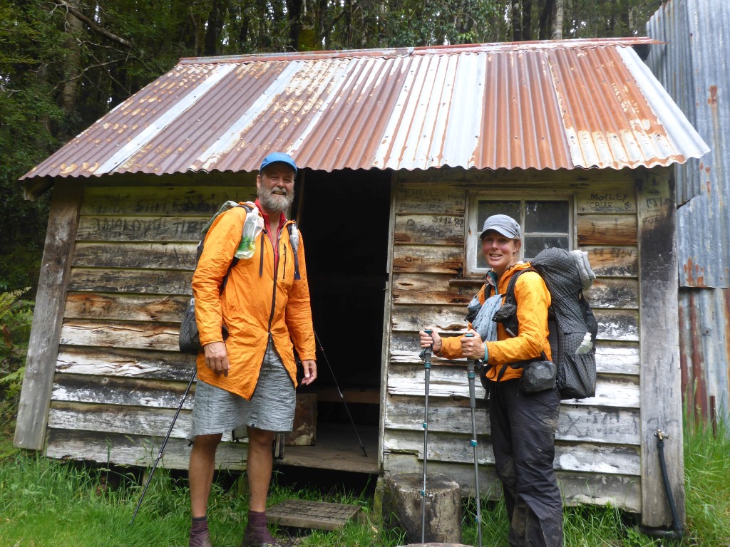
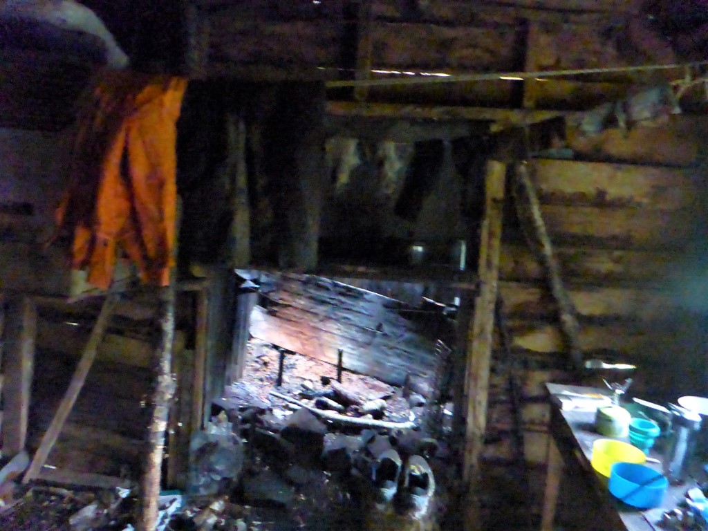
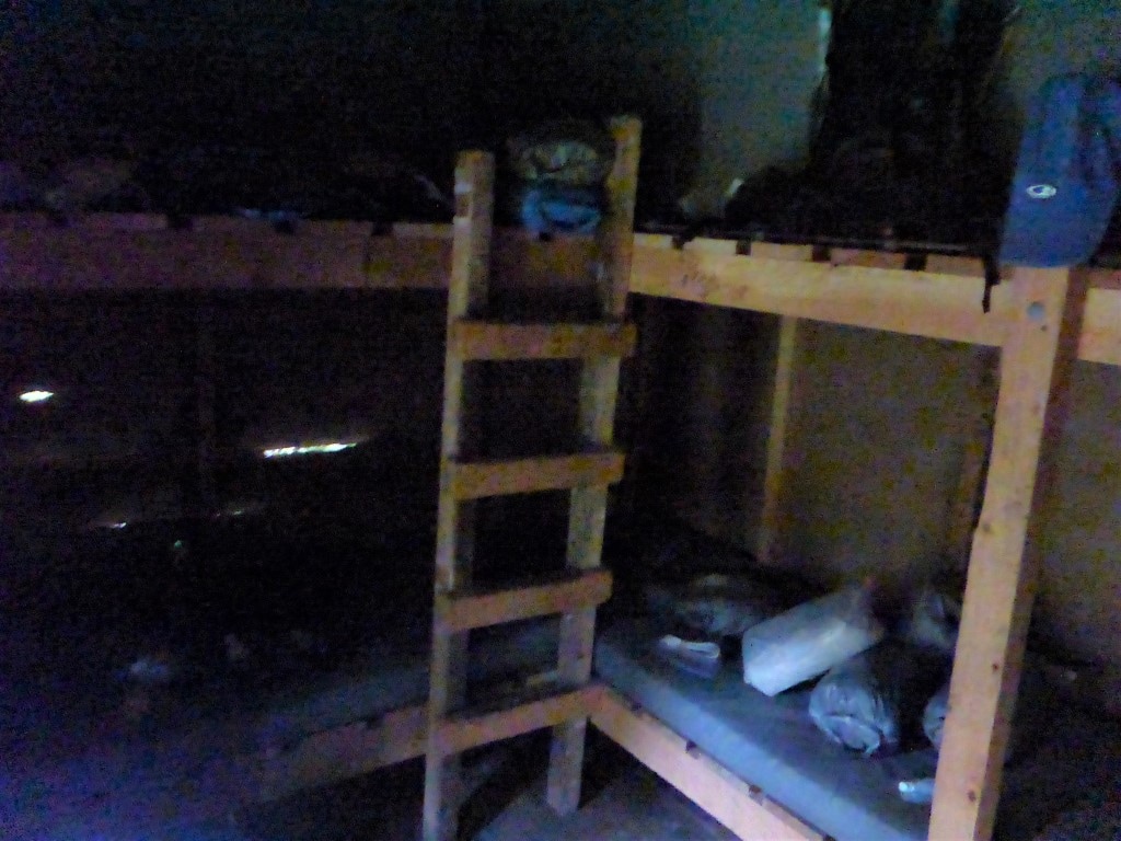
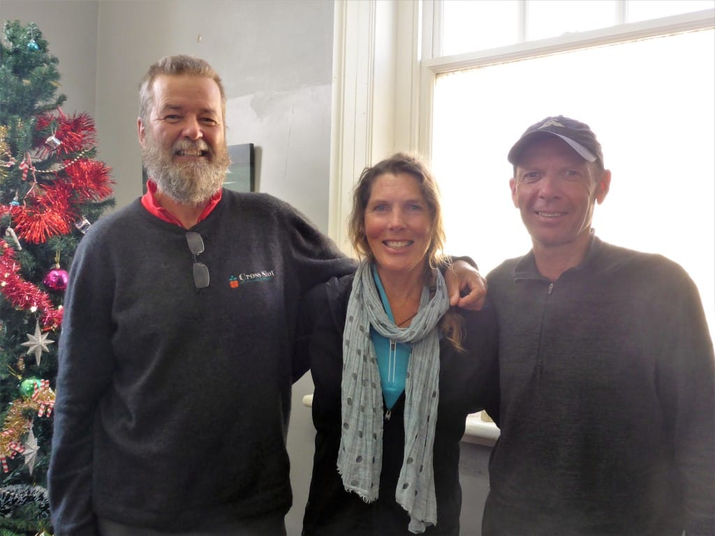
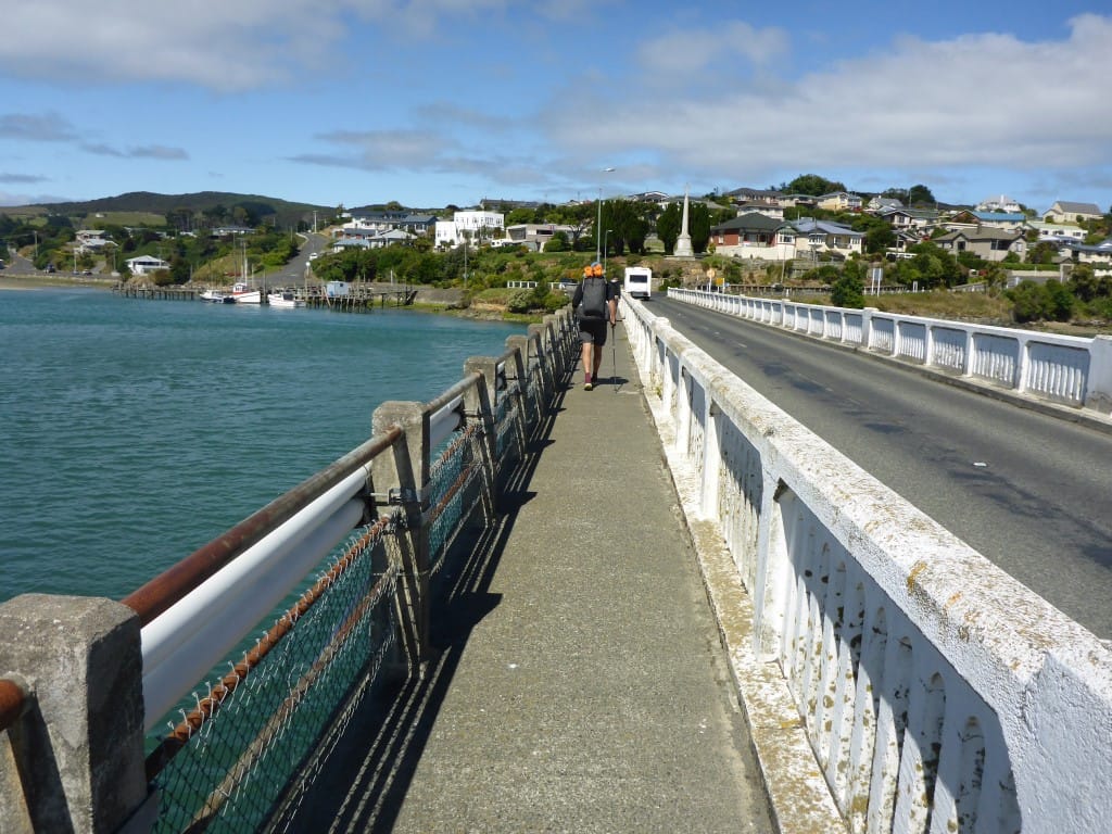
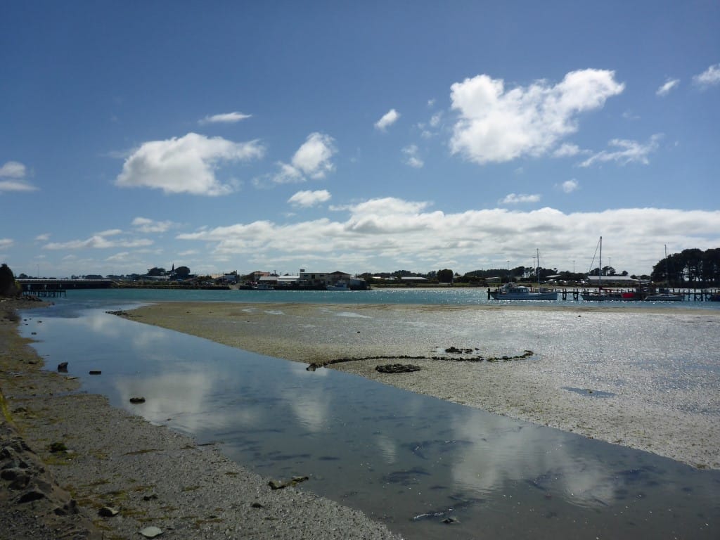
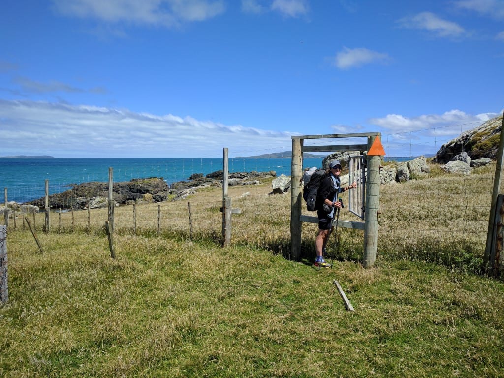
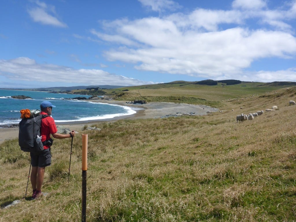
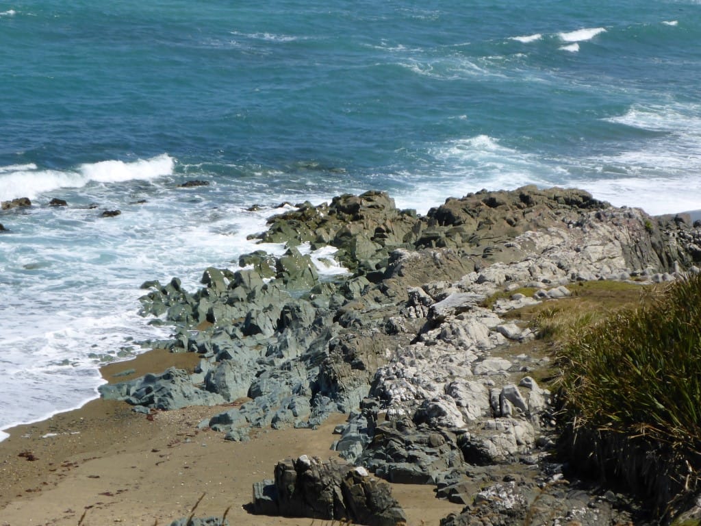
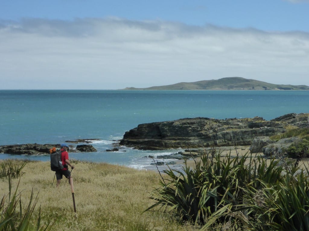
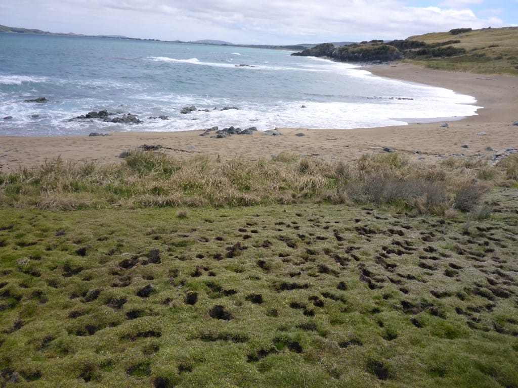
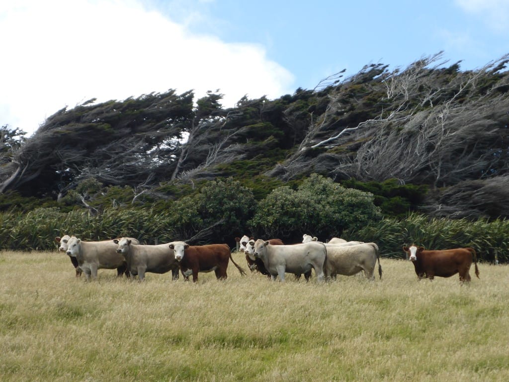
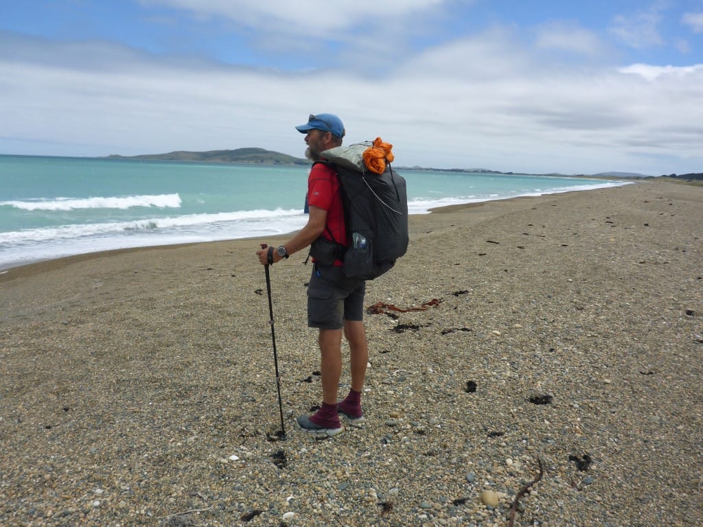
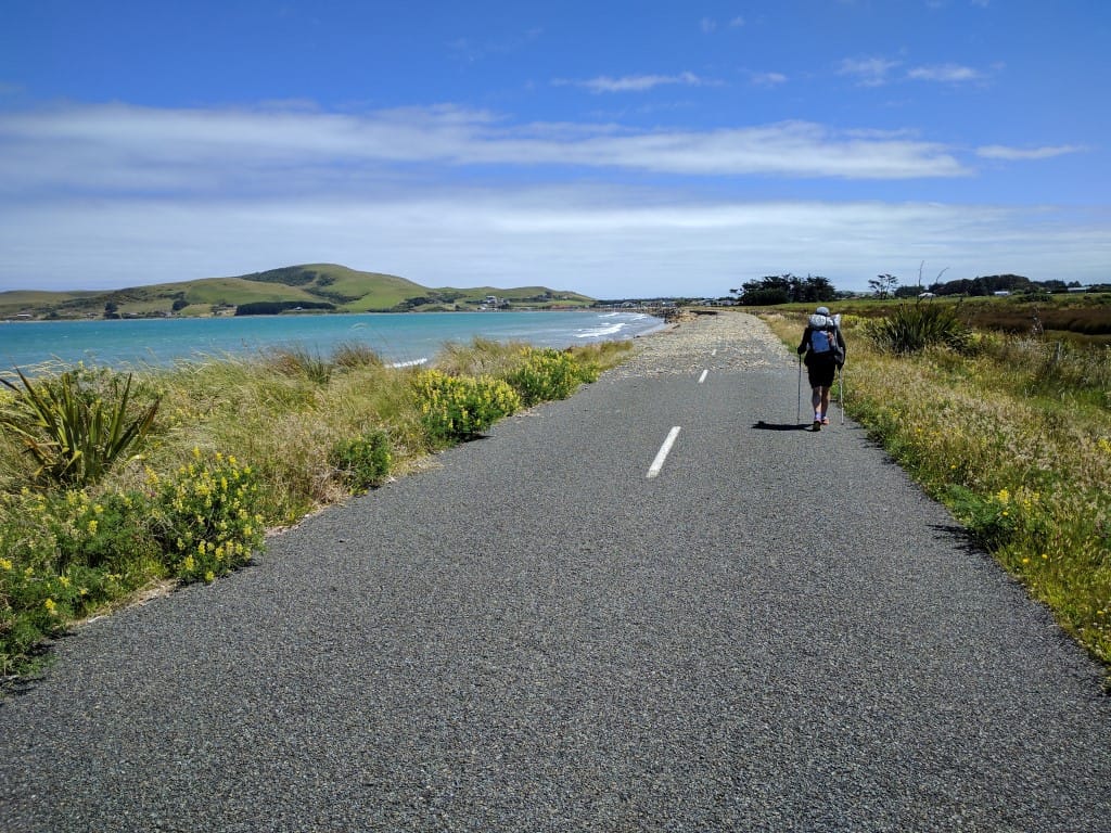
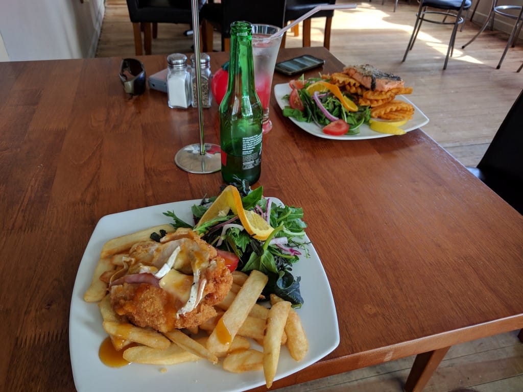
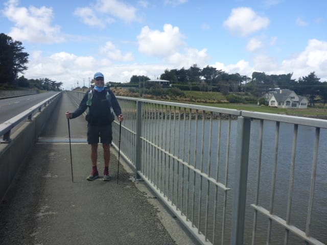
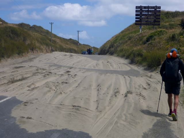
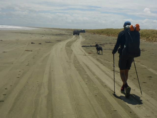
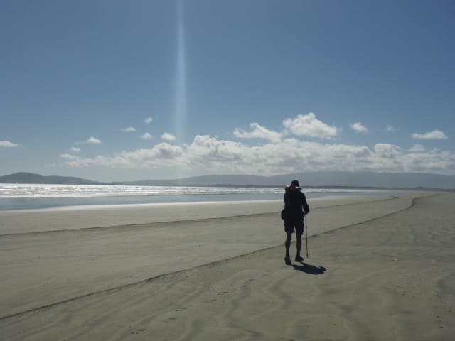
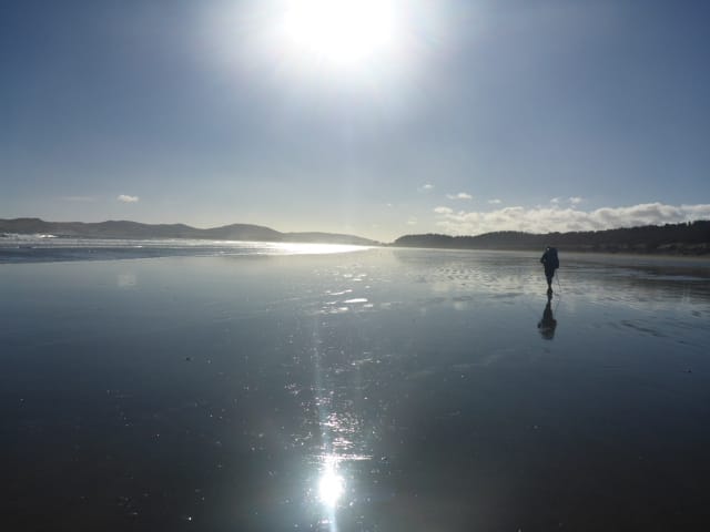
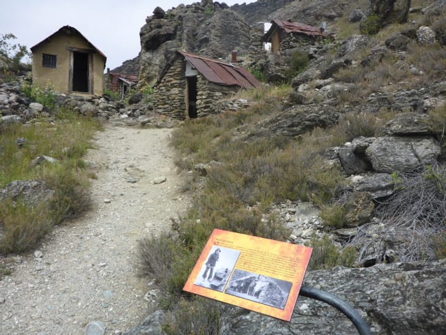
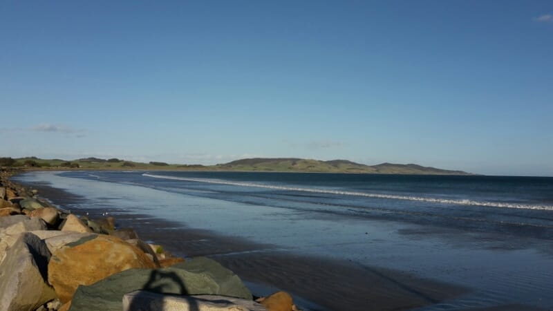
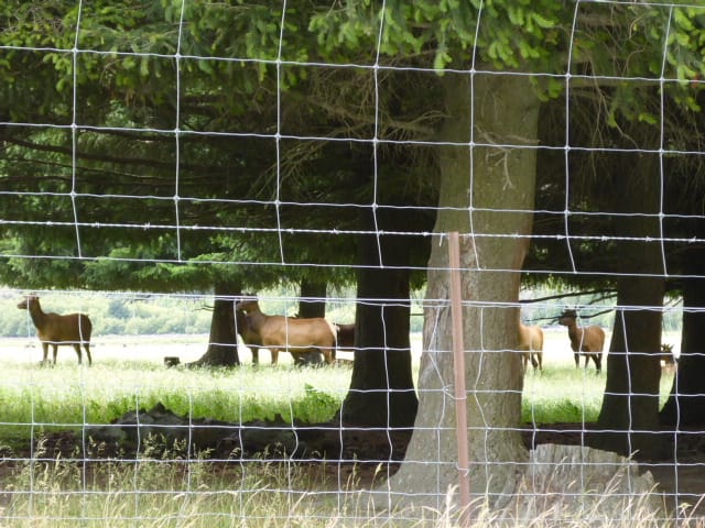
Today's plan was to get to Martin's Hut, almost 30km from the Colac Bay camp, and we achieved this - leaving at 0700 and finally arriving at about 1715 (10.25hr including breaks). The day’s GPS data is here. The first 4km was along the highway but we only had four cars pass us heading east, and two of those were in the last 400m - not busy! Then uphill on a gravel road for a km to Longwood Forest and the start of the real track walking (Long Hilly Track initially) for the day. The first short segment was uphill to some old gold diggings in the forest. This was a nice track - it is well used as a short loop to view the diggings. From there we essentially followed Ports Water Race for over 20km (in total it was eventually 40km in length!!). You can see this from the GPS data, where we just gradually gained elevation over time. Considering this was built by the Chinese miners in the late 1800's the engineering (and sheer hard work) involved is very impressive. The forest would have been quite dense, although it has since been logged, and a number of small tunnels and an occasional wooden flume were required to keep the water flowing downhill. This all made for relatively easy walking by TA forest standards - although there was the occasional stream/ditch to cross (some a down/up scramble, some on logs!) as well as an occasional fallen tree to find your way around. My back was causing some concern and I was having to get Belinda to take the pack off and lift it for me to put back on each time we stopped, and then getting started was a bit painful for a few minutes until it warmed up a little! A less than ideal situation! After 20km or so of the race we arrived at a gravel (later turning to dirt) 4wd track which we followed for a km or so before finally reaching another bush track. This track was a half hour steep uphill slog to Martin's Hut. As we we walking the last dirt bit of the 4wd track we could see some fairly fresh tyre tracks in the mud. We both thought it would be just our luck for someone to have decided to drive up to spend New Year's Eve at the hut (only 4 bunks)! As we reached the start of the half hour climb we saw a 4wd vehicle parked there. We slogged (it felt like a slog after a longish day of fairly flat walking!) our way up to the hut and found a couple with their maybe 10 year old son, and a dog, there. Turns out they had been out for a hunt (red deer) and were not stopping at the hut, but were on their way back down to the vehicle! So we had the hut to ourselves. It was originally built for a worker to maintain the nearby water race and most of it appears fairly original (i.e. old!), but the bunks and mattresses are more modern!! Anyway, we were happy to see it. We had a cuppa and a meal and I was asleep by 2030 with B not far behind. No seeing in the New Year for us!! We only had a relatively short day to Colac Bay today so we were not planning to leave early. We ended up leaving around 1100 and getting to Colac Bay about 1515 - although I forgot to turn the Suunto off so the GPS track shows a bit longer! We did about 15km in the end, even though TA said about 13! The track for the day is here. Scott was leaving Colac Bay at 0700 so we expected him around 0930 given his usual blistering pace!! Sure enough we get a text at 0930 saying he is crossing the bridge into Riverton. About 2.5 hours compared to what later took us 4 hours! So we shot down to meet him at the café and had a good catch up over food and drink. He was waiting for another couple of hikers to catch up with him so was happy to stop and chat - at their pace getting to Invercargill today would be a breeze. We had been following his blog but it was fantastic to catch up in person and hear how it had gone for him. We left just as the other two (Matt from England and Tara from the US) arrived at the café. We picked up our gear from the backpackers and after a quick food shop for Belinda we headed out of town over the Aparima River bridge. The trail took us through a bit of the town and up over a headland to the south. There were some great views to be had here as it was a fine (but again breezy) day. Then it was down through some native bush on the Tihaka Beach track and into farmland above the rocky coastline, heading west. There were several kms of this, with the occasional drop down onto the beach. There were some very healthy looking sheep and cattle along the way - in some cases right down on the beach! Eventually we got onto the beach proper. The tide was in and this beach (unlike the firm sand of Oreti yesterday) was loose pebbles/shingle and hard to walk on. We very quickly found a parallel road/track that we could get onto (we had sussed this out in the car when coming past a couple of weeks back!) to avoid the slog on the gravel beach. So we pretty much walked the rest of the way to Colac Bay along roads and tracks near the beach. Bought some chippies and lemonade as a treat when we arrived - headed over to the pub about 1730 for dinner and drinks, as well as using the WiFi to get a couple of blog entries published. We may be out of coverage for a bit now?! Having driven down from visiting Andy, Jo and family at Purau on Lyttleton Harbour, we stopped last night in Gore to visit our nephew and family - as mentioned in Belinda's update. We visited Sam, Heidi and the kids for breakfast and then hit the road for Invercargill. We dropped the car off at the airport at about 1130 and got a taxi to take us the 4km or so it to the 4 Square so at Otatara, where we had finished up on the 17th because of my knee issue. A 5 minute walk got us to a cafe for some lunch (planned because of when we wanted to hit the beach in terms of tides!). We hadn't planned to walk all the way to Riverton but eventually ended up doing exactly that, reaching the backpackers around 2030 after a 28km or so journey. The day's GPS is here. We left the café about 1300 for the 5km to Oreti Beach, which we reached about 1400 which was just after high tide, and headed off down the beach. The reality was that it was just another beach walk! The wind was initially coming from our left but, as we were walking in a big curve, it ended up as a headwind by Riverton. At least it wasn't raining, although I didn't get my jersey off all day so that indicates that it wasn't all that warm either! With the tide heading out, the going was not too bad for walking and we only had one small river to cross (took our shoes off and walked in bare feet for a couple of kms). We did see Stewart Island (Rakiura) to the south but the weather was cloudy/hazy so it wasn't spectacular.
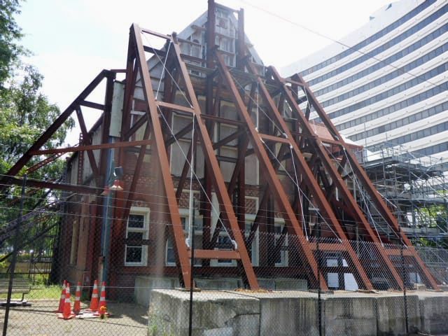
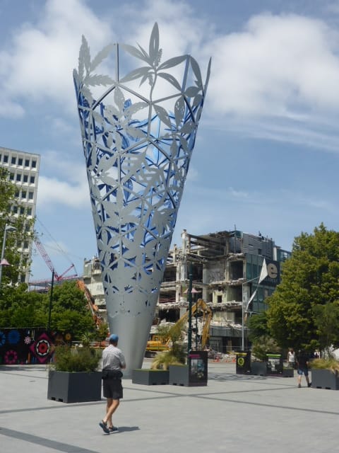
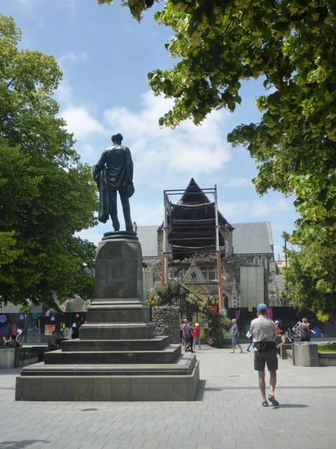
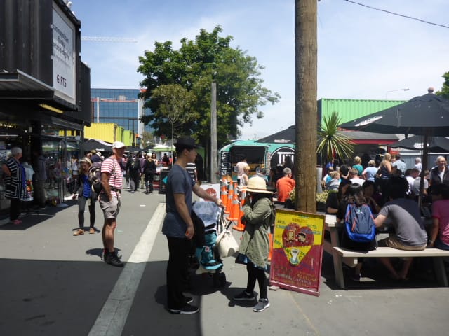
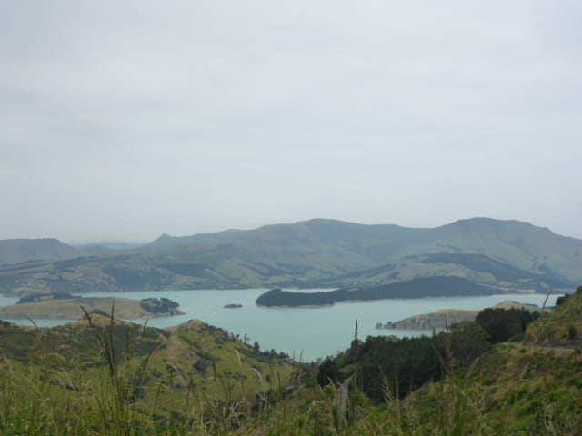
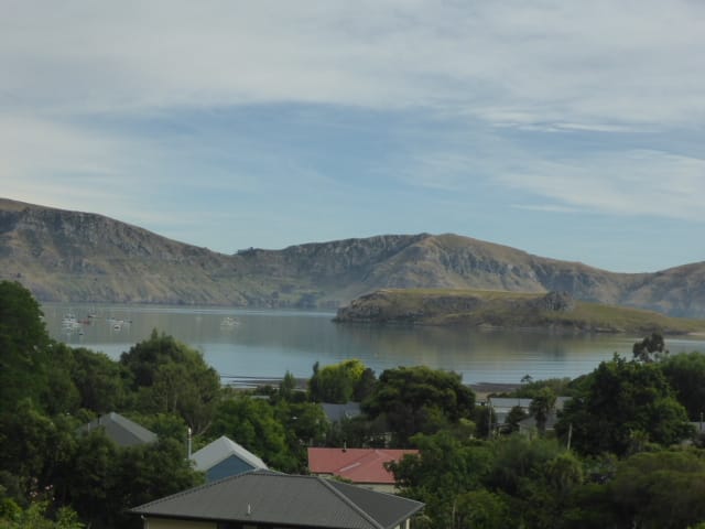
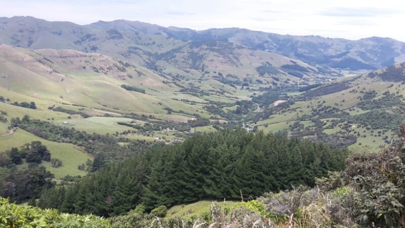
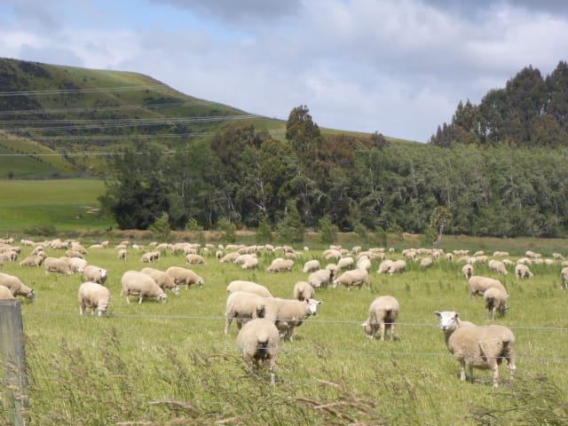
I had tweaked my back after leaving Jane and Chris a few days ago and it was pretty sore today, which made the going a bit tough, especially by the end of the day! Belinda was my chief pack mounter as I can't swing it up onto my back on my own - lucky her body holds up better than mine :-). We had a look at camping in the dunes as we got closer to Riverton but it wasn't so easy and we figured we were so close that we might as well just head into town for a bed! So we ended up at Monkeys Backpackers for the night. Belinda texted Scott Hyde who we had met when we walked past his place near the Hunua Ranges. Scott is currently powering through the TA! Coincidentally he was 15km away in Colac Bay. We arranged to catch up for coffee in Riverton in the a.m. as we were leaving late morning! On the road again, this time to Christchurch.. We had lived in Christchurch for a couple of years from 1998 so knew it quite well. Having not visited the city since the quakes, I found it a very sobering experience. The yesteryear still lingers right next door to the hope and promise of tomorrow. Kia kaha Christchurch. Next stop for us was visiting our longtime friends Jo and Andy in Purau (across from Lyttleton on Lyttleton harbour). A bonus for us was with it being Christmas, all the children were home so it was a great catch up all around. A truly lovely part of the country. \n \nAndy, Ant, Phil and Arthur spent some time working on their property at Little River so I took the opportunity to go for a walk. Great views from the top, looking back down to Little River. With Anthony's knee doing well, we made the decision to start walking again so it was a road trip back towards Invercargill with lunch in Oamaru. We stopped for the night in Gore and visited our nephew Sam and his gorgeous family. Heidi, Lucas, Riley and Sophia were all well and it really was nice to see them. I have really enjoyed our road trip and it's great to get down south and see large sheep and beef farms in operation. There is plenty of feed about down here with the stock looking great. Many of the ewes and lambs matching the size and condition of our own (that is, big and round). The stock with access to the beach or even near the sea seemed to have an edge. I wondered if it was the influence of salt and minerals blown in from the sea supplementing their diet.... just a thought.....
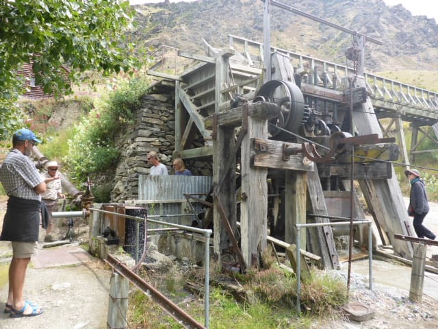
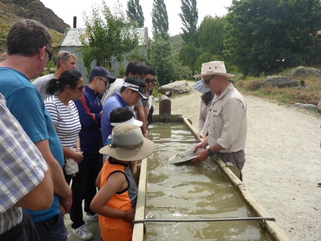
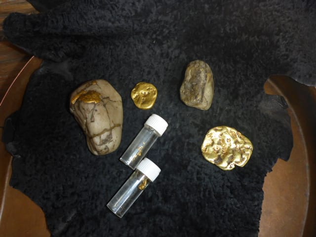
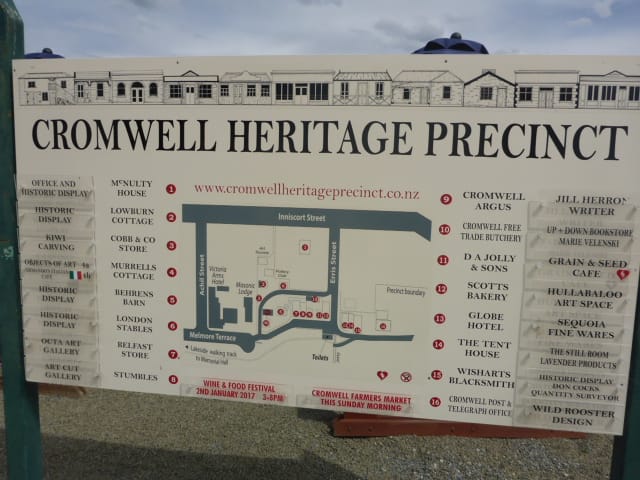
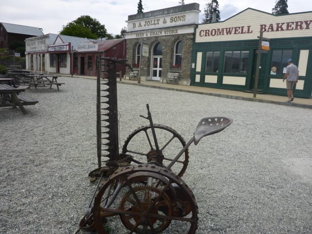
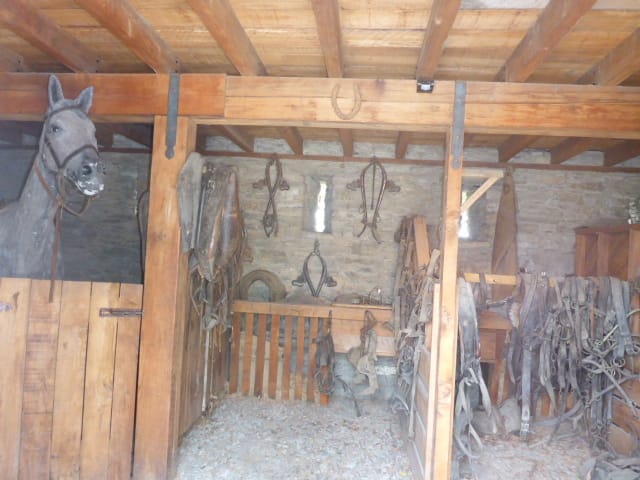
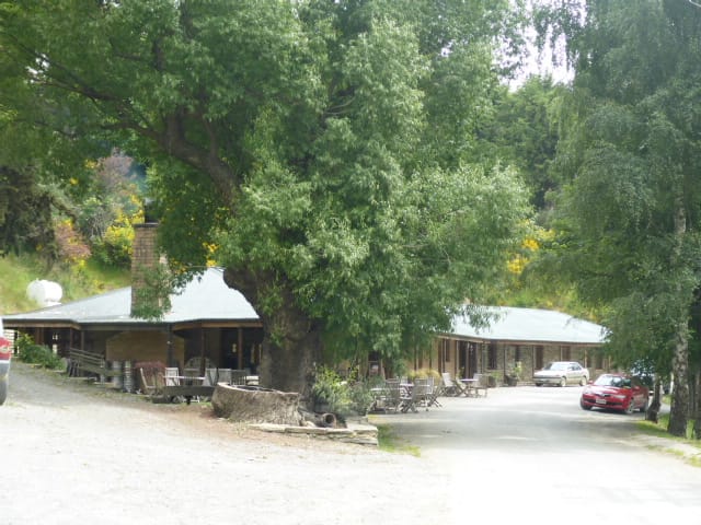
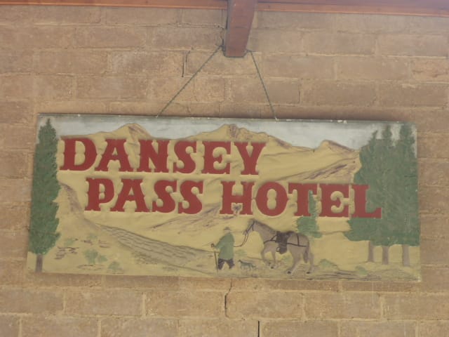
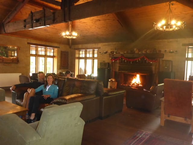
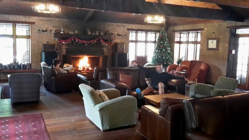
From Gibbston we travelled a short distance to try our hand at panning for gold. Unfortunately, no nuggets or flakes came our way but the history of the area was interesting. We had a brief look around Cromwell and couldn't leave without buying some in season totally delicious cherries....yum, yum, yum! We stopped in Ranfurly for the night at a pleasant motor camp. The next day was CHRISTMAS DAY and we had no plans:). Looking at the road map we decided to hit the gravel and go over Danseys Pass. This is amazing country with vast expanses of tussock covered hills creeping into mountainous grey rock. Cruising along, no worries and around a corner we come across some old established trees and an option to drive off the road..... so we we took it. Snuggled amongst the trees was the Dansey Pass Coach Inn!! It was Christmas Day after all but the sign outside said come in for a coffee..... so we did. The hostess was so welcoming and suggested we had brunch of 'eggs bene' - they were in the middle of their staff Christmas breakfast but that didn't matter a toot. (We were even invited to stay and join them for their Christmas lunch at 3pm)!!! Ant and I settled into the comfy leather couches wth the huge fire roaring. The food was scrumptious. The surroundings reminded us of our Scandinavian Christmas and I even had a fruit tea..... very traditional. The place was just gorgeous and I think the pics tell the story. It was actually an old gold mining area so the hotel and it's area was steeped in history. After that we got on the road again, over the Pass and onto Timaru where we settled into a comfortable motel. Being Christmas day we caught up with family..... all in all, a very nice day. :)
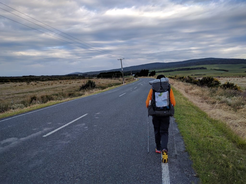
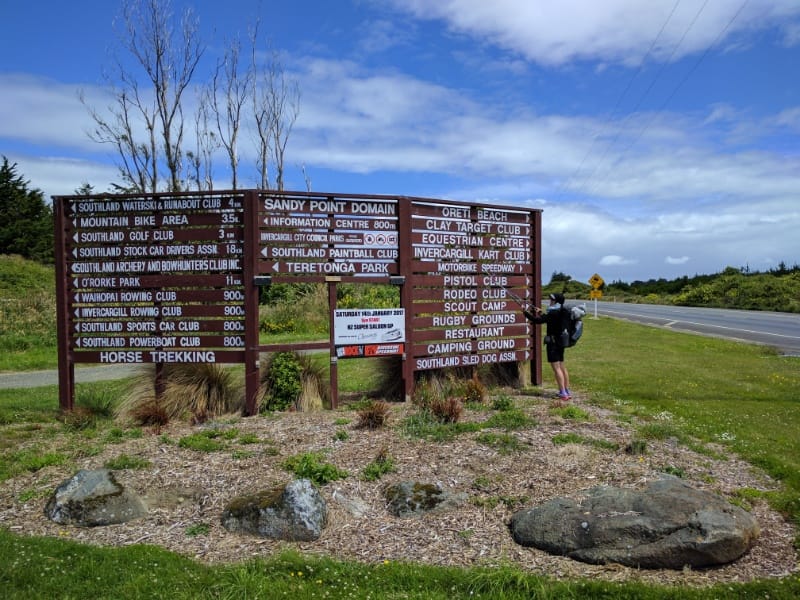
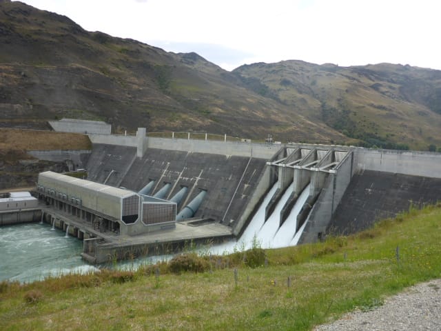
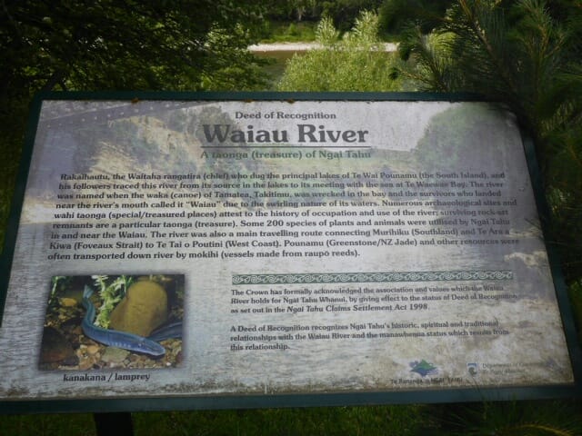
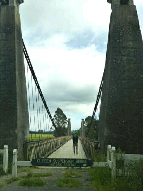
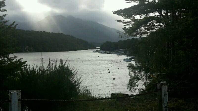
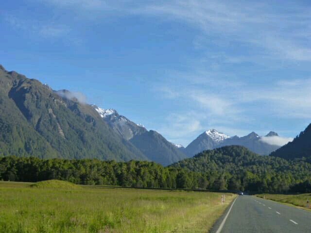
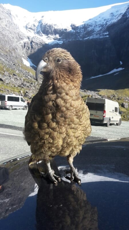
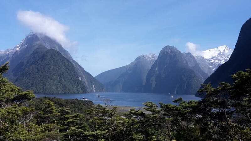
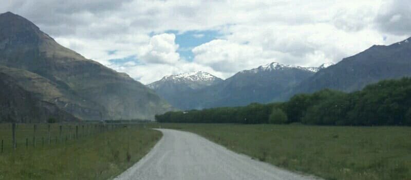
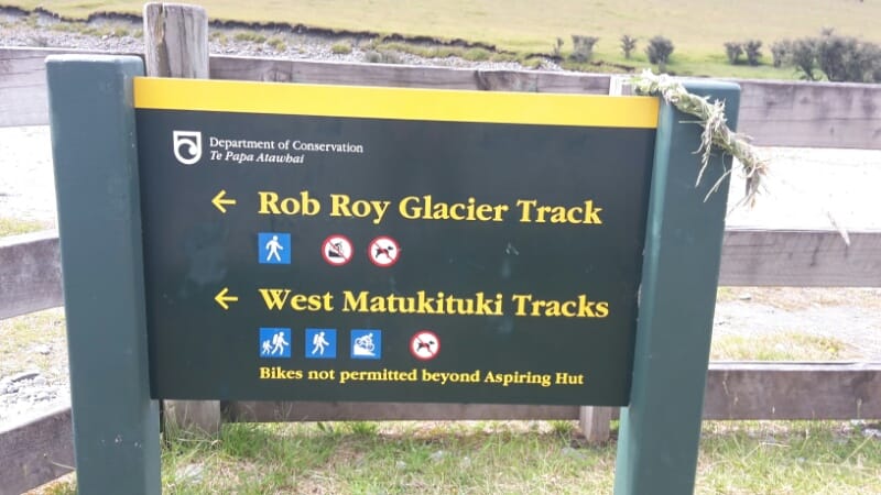
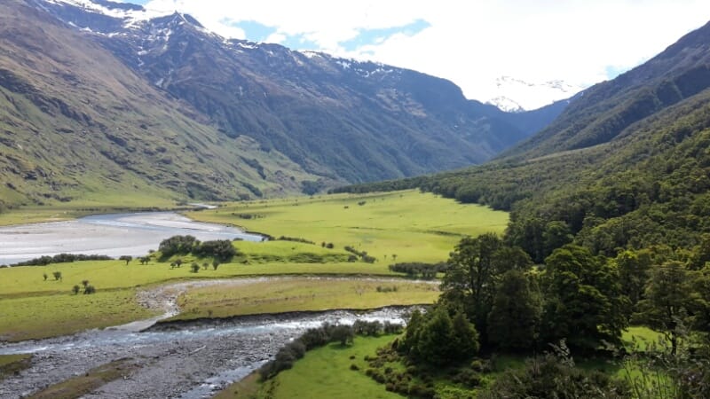
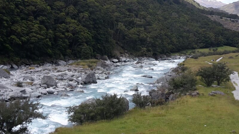
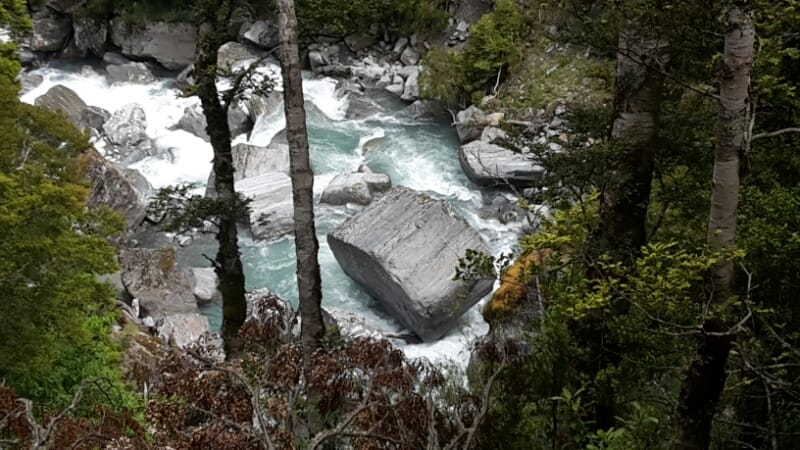
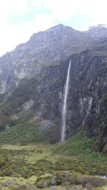
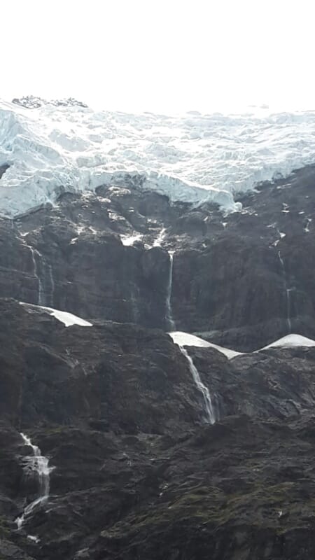
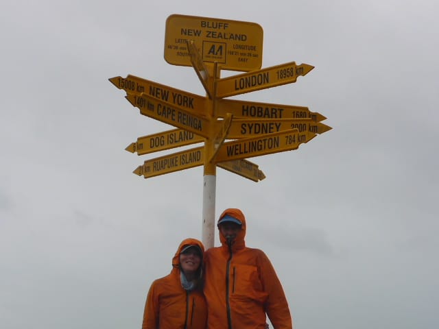
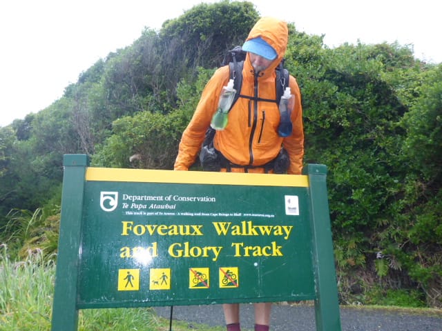
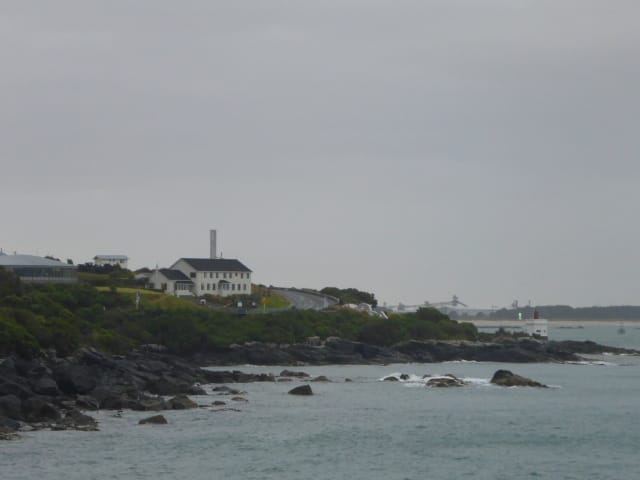
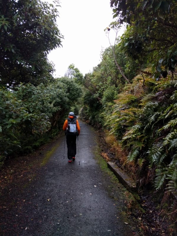
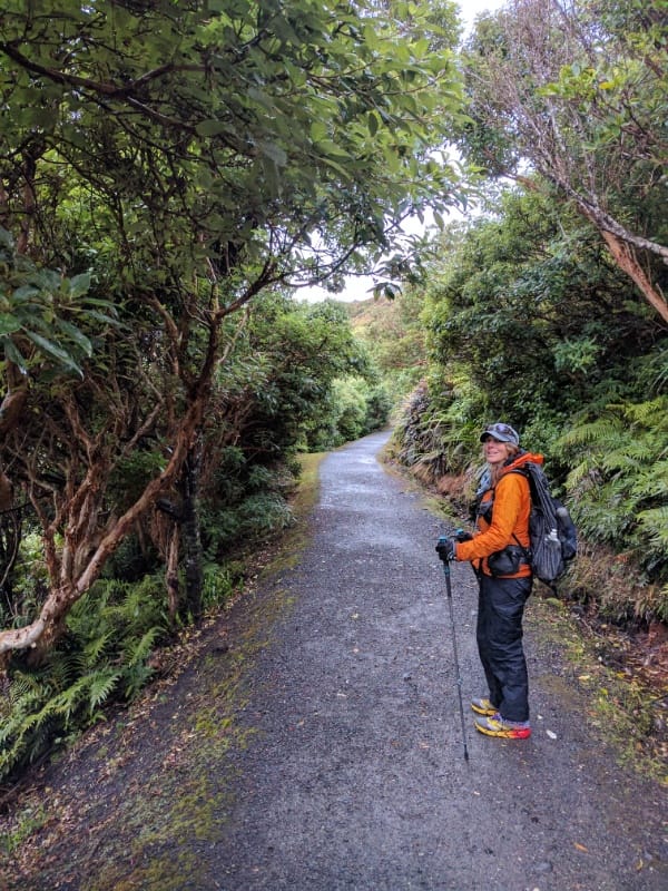
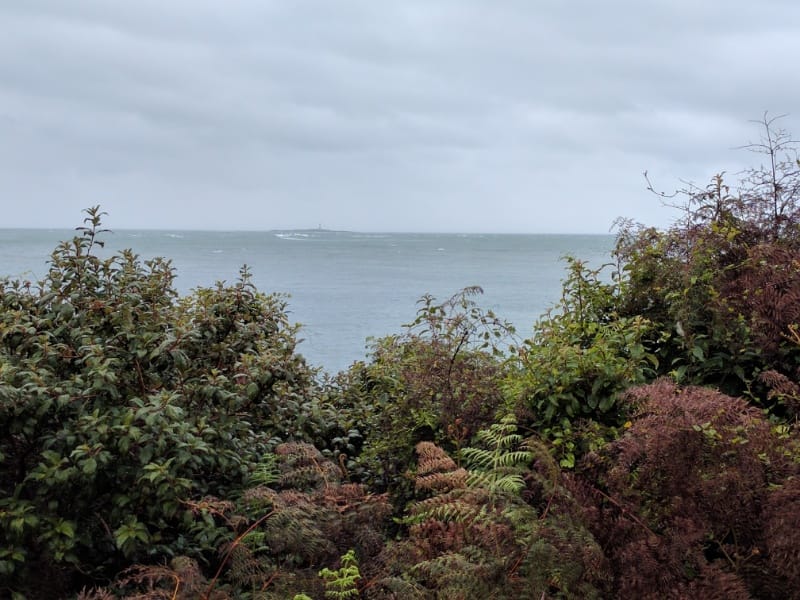
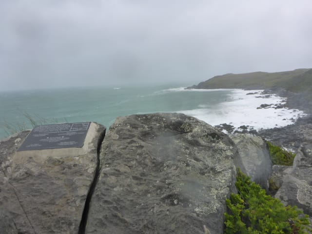
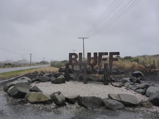
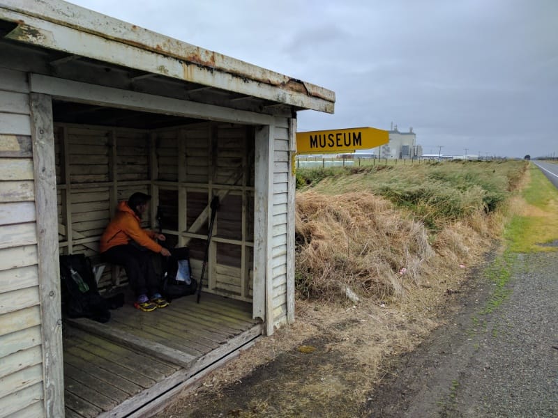
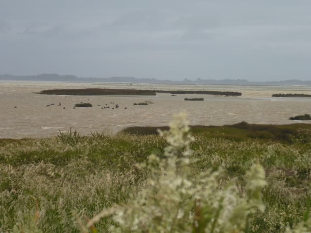
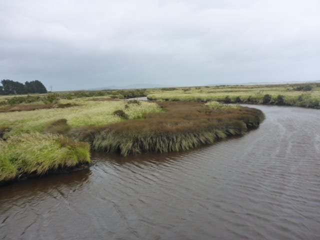
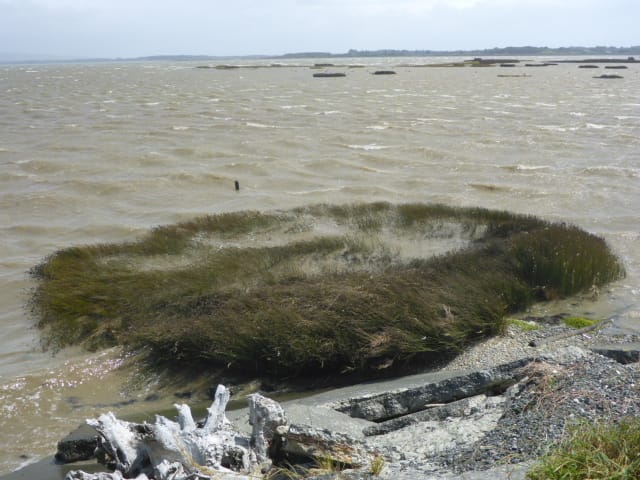
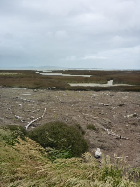
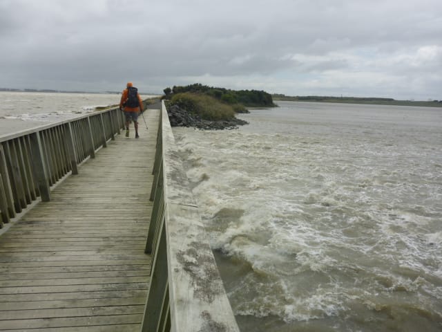
Belinda here:) In Anthony's last blog entry, he mentioned that he felt his left knee twinge unhappily at the end of our walk from Bluff to Invercargill. It seemed ok the next day so we set off. After 5km, the knee was was not good and as the pain was very similar to the problem he previously had with his right knee we stopped walking and looked at our options. We decided to hire a car for a bit, tour around parts of the South Island and visit some of our friends. If the knee was ok, we would continue walking. Since then we have become 'real tourists' and joined the many thousands of overseas tourists visiting this part of the country. With a 'c’est la vie' outlook, we have cruised around staying in Colac Bay, Manapouri, Te Anau and then three nights with friends in Gibbston (just out of Queenstown). The road trip from Colac Bay to Manapouri was interesting with an opportunity to learn about the Waiau River - it has an impressive history and is now controlled by the hydro scheme. Not only could we study the old suspension bridge but there was a coffee cart ready and waiting for travellers. Our travel to Milford Sound from Manapouri was quite the eye opener - huge numbers of tourists! The whole Milford Sound 'machine' was pretty impressive really and we thought it was very well done. Te Anau gloworm caves were good as was the movie at the little Te Anau theatre, Ata Whenua - this movie takes you on a 30 minute aerial journey over Fiordland. It was stunning and a must see. Apparently the theatre was built for the purpose of showing this movie. We also had a sensational meal at the Black Dog bar/cafe attached to the theatre - highly recommended. Queenstown was crazy so we escaped quickly and went to Jane and Chris' property in Gibbston. We had great views of the valley and the Crown Range road was in the distance. A beautiful home and surrounds and we were pleased to be of use for a day and help Chris top and prune a hedge which helped keep the Nevis Bluff in sight. Anthony's knee had been pretty good and with some thoughts and advice from Jane, things were looking up. We felt it would need to be tested and Chris suggested a hike up the Rob Roy glacier track. From Wanaka we drove up towards Mt Aspiring, through the valley of huge stations with vast numbers of cattle as well as some sheep and deer. The walk was a three hour return for us to the look out and it was superb in so many ways. Best of all the knee was good!! Stunning scenery, photo opportunities around every corner Today was the first day of our South Island journey! It ended up as 34km in just on 8 hours, although we had to do another 1.8km off trail to get back to the hotel. The GPS data for the day is here: https://www.movescount.com/moves/move134729421 We had booked a shuttle for 0630 to take us to Bluff, so we were up around 0530 (or 0230 in my case!) for tea and brekkie. B hadn't been to Bluff before so was watching with interest where we would be walking back! The driver dropped us off at Stirling Point in wind and light rain and we got underway about 0710 on the Foveaux Walkway. This is 7. 3km around the west side of Bluff hill, to rejoin SH1 at the north end of Bluff township (Ocean Beach). The first 3.5km was in nice gravel track - we then had another 3.5 km which was mostly on private farmland where there was no specific trail. It was interesting walking with Foveaux Strait off to our left - however the dominant feature of the walk was the gale force westerly winds, which included driving rain!! Lookout Point was very windy and heading down from the high point of the farm track section was also a bit difficult to manage in the gale! From Ocean Beach we had 16km walking alongside SH1. This was not particularly pleasant, especially since for the first half of it the rain was still coming down (actually it was coming almost horizontally)! We had three people stop on the other side of the road and ask us if we wanted a lift - we even had one car heading south stop and ask us if we were alright!! We said that apart from being somewhat crazy we were fine! There were lots of cars and large trucks on the highway - the truckies generally tried to give us room where they could but we got battered by the slipstream of many as they passed a couple of metres away! The wind was relentless, even when the rain finally stopped, and being flat and featureless there was not really many places to stop. We stopped briefly at a rest area around 0930 and then around 1200 found a little shed alongside the road where we could get out of the wind for a 30 minute lunch break. Eventually we got off SH1 onto the Estuary Walkway which took us the final 10km to the Tweed St bridge. By this stage the wind was averaging 61kph (according to Metservice) so you can imagine some of the gusts were difficult to walk into, as it was mostly on our front quarter! The walkway itself was a well formed gravel track but very exposed with virtually no shelter anywhere. It made walking somewhat challenging and it certainly made my legs somewhat sore! In the last couple of kms I tweaked my left knee - feeling a bit similar to the problem with my right knee when we started a year ago. I'm hoping that it will be OK by tomorrow morning! At the end we had a 20 minute walk to get back to the hotel and after a nice soak in a hot shower, we shouted ourselves to some lovely Thai for dinner!
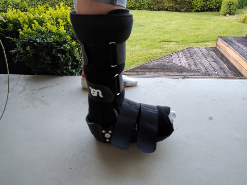
We have had a couple of weeks at home doing a range of "catch-up" jobs and are now ready to start the South Island leg of TA! Franziska has been with us the whole time and is staying at home with the whanau for another week before heading up to Silverdale for Xmas with a family she met earlier on the trail. She is still in her moon boot for a few weeks to try and help the stress fracture heal! Soon after getting home from Levin we made a decision that we should do the South Island northbound (nobo) rather than southbound (sobo). We had originally discussed doing this but had settled on sobo. However, after looking at all the spring weather issues as well as considering the earthquake aftermath, we decided to go nobo from Bluff - hopefully the late summer weather may be a bit more settled in the top of the south!! Wishful thinking??!
This required a bit of rearranging of trail notes and planning options, but nothing too major! Amelia and Franziska dropped us off at Wgtn airport for our 1000 flight to Invercargill today. The flight was delayed 30 minutes due to weather but was no problem as we had heaps of time at the other end. As expected it was a very bumpy ride out of Wellington. The 2hr flight was occasionally lumpy but not too bad - almost gale force westerlies in Invercargill made it a bumpy landing as well though. We managed to buy Belinda a new Leatherman Squirt today as the last one mysteriously disappeared the day before we left - also stocked up on gas for the next couple of weeks. We have had a bit of sun, wind, rain, hail and thunderstorms this afternoon so who knows what tomorrow will bring, along with the gale westerlies, for our Bluff to Invercargill walk! At least we are staying in the same place tomorrow night so can have a "slack pack" day tomorrow - leaving much of our gear in our room for the day! Nice not to be walking today - especially as the weather was not too good in the morning at least! We needed to help Franziska do something about her foot and Belinda had a bright idea of ringing the sports medicine centre at Kilbirnie in Wellington, thinking they might have a better idea of the issues and be ready to provide a quicker "fix". A physio was able to see Franziska at about 1300 so we all headed into town. She had a good appointment, including an on-site X-ray. The physio is pretty certain it is a stress fracture in the foot and has F in a moon boot to immobilise it until the next appointment on Friday where the physio should be able to confirm whether or not an MRI is required. Pretty good service really!
After coming back from Wellington, we met with Greg and Kevin for coffee in Waikanae this afternoon for a catch-up. We had thought we might be able to walk the Tararuas section with Greg but our change of plans has put the kibosh on that for now. Deciding not to walk the Tararuas right now also gives us an opportunity to start catching up on a few things here before heading to the South Island at a date yet to be determined. I'll update when we know more. |
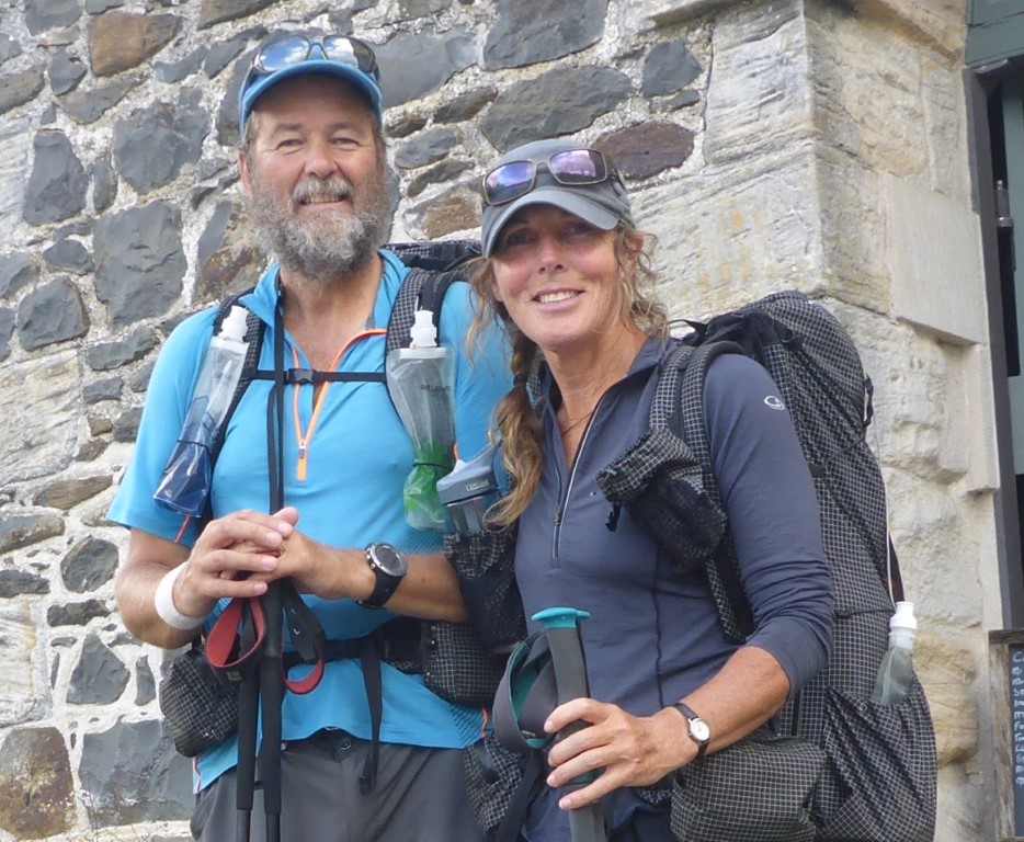
AuthorBelinda and Anthony (aka Tony) Hadfield made a decision, in their late 50's, to do something a "bit different" and walk New Zealand's 3000km Te Araroa Trail over summer 2015/16 - although updates will now tell you that this plan will take longer now!!. As the old saying goes - "don't leave home 'til you've seen the country"!! Archives
January 2018
Categories |
 RSS Feed