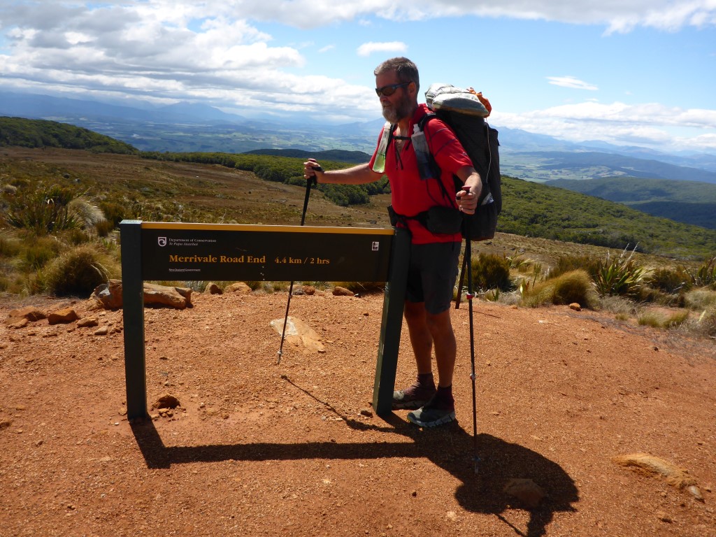
|
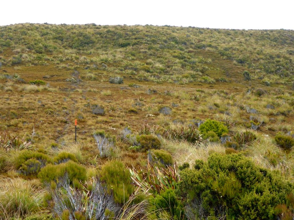
We weren’t entirely sure how far we would get today especially with my back not improving at all. We ended up doing about 20km in just under 9 hours, stopping at the head of Merrivale Rd just as we left the Longwood Forest. The day’s GPS data is here. The first half of the day (leaving the hut about 0800) involved climbing from the hut (about 430m asl) up onto Longwood Ridge and heading up and down along that ridge for about 3 hours (max about 760m asl). This was a mix of “goblin” forest, lighter scrub as you got higher and, above the tree/scrub line, the marshy tussocky “tops”. Despite everything being quite wet and muddy underfoot (although not raining!) it was quite spectacular to walk through from our perspective. As noted, the forest bits were a bit “goblin-like” and the marshy bits could also have been LOTR settings as well!! From the tops, we also got some good views back towards the south coast that we had come along over the last few days - as well as to the north where we were heading. The last hour or so of this first 5 hour stretch was down through forest to an old lime-crush quarry (back down to around 450m asl). This was obviously used to provide the road surface for part of the forestry road that comes all the way from the Pourakino Valley to the east, to service the transmission towers atop Bald Hill.
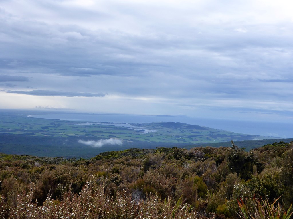 0900 and we were on the "tops". Looking back with Riverton inlet in the middle and the curve of Oreti Beach behind.
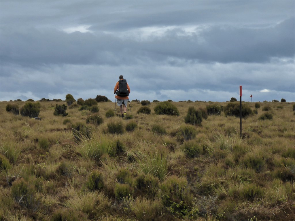 It was quite exposed but luckily the wind was not too bad.
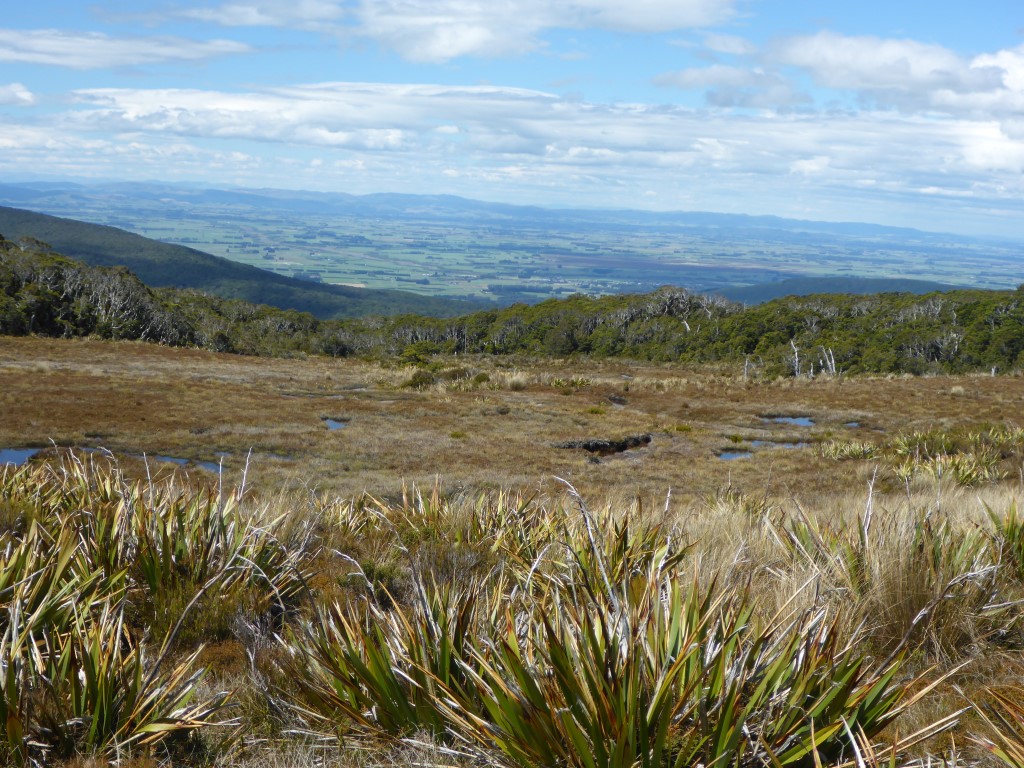
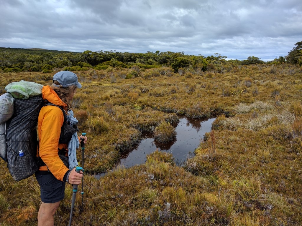 Its hard to get an impression of how moist parts of the tops were - but this gives an indication of the marshy hature of much of this part of the track.
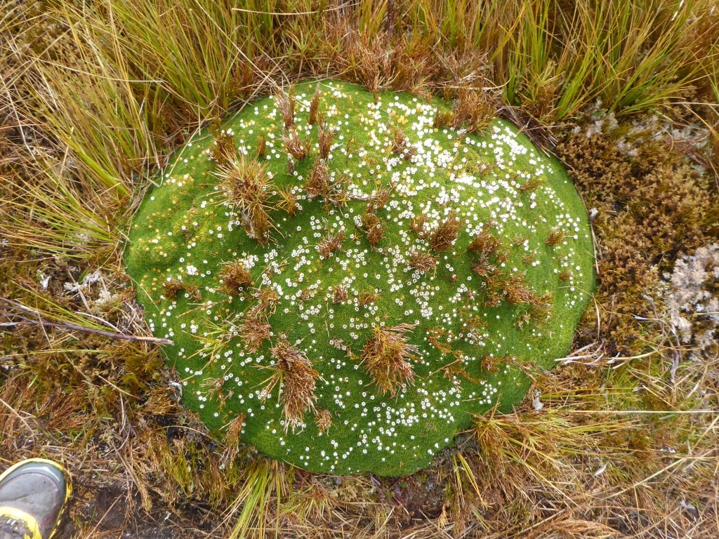
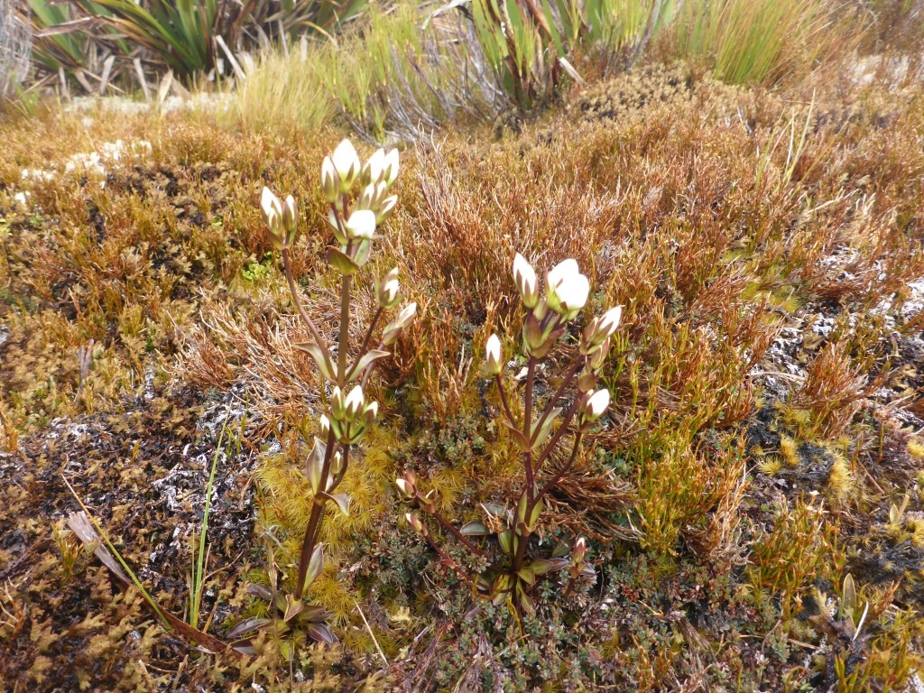 An occasional flower poked its head up without it being blown off by the wind!
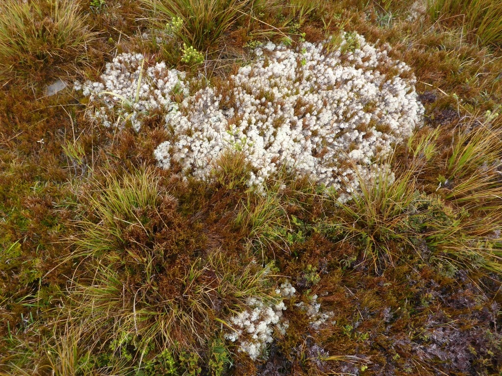
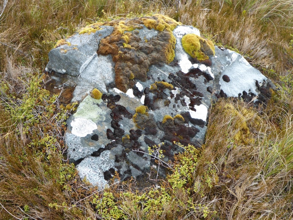 Variety of colours in the rock and in the moss.
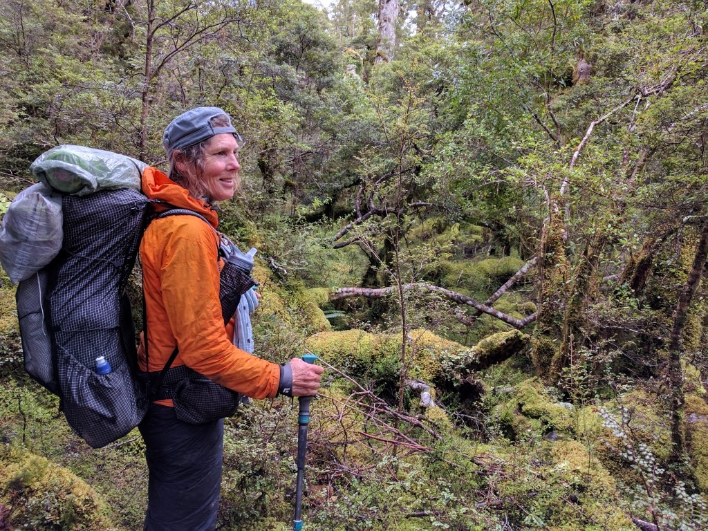
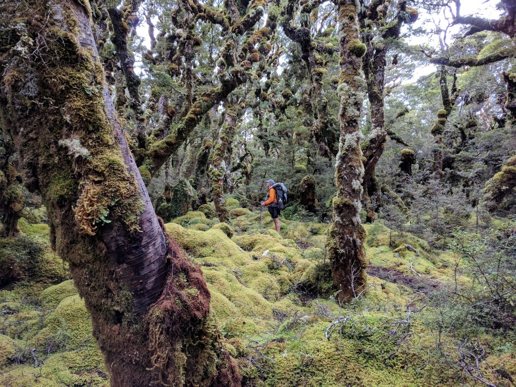
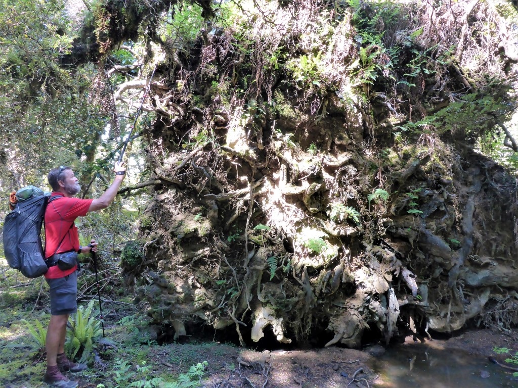
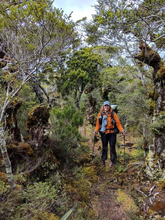 Another example of the forest track on the way down to the quarry.
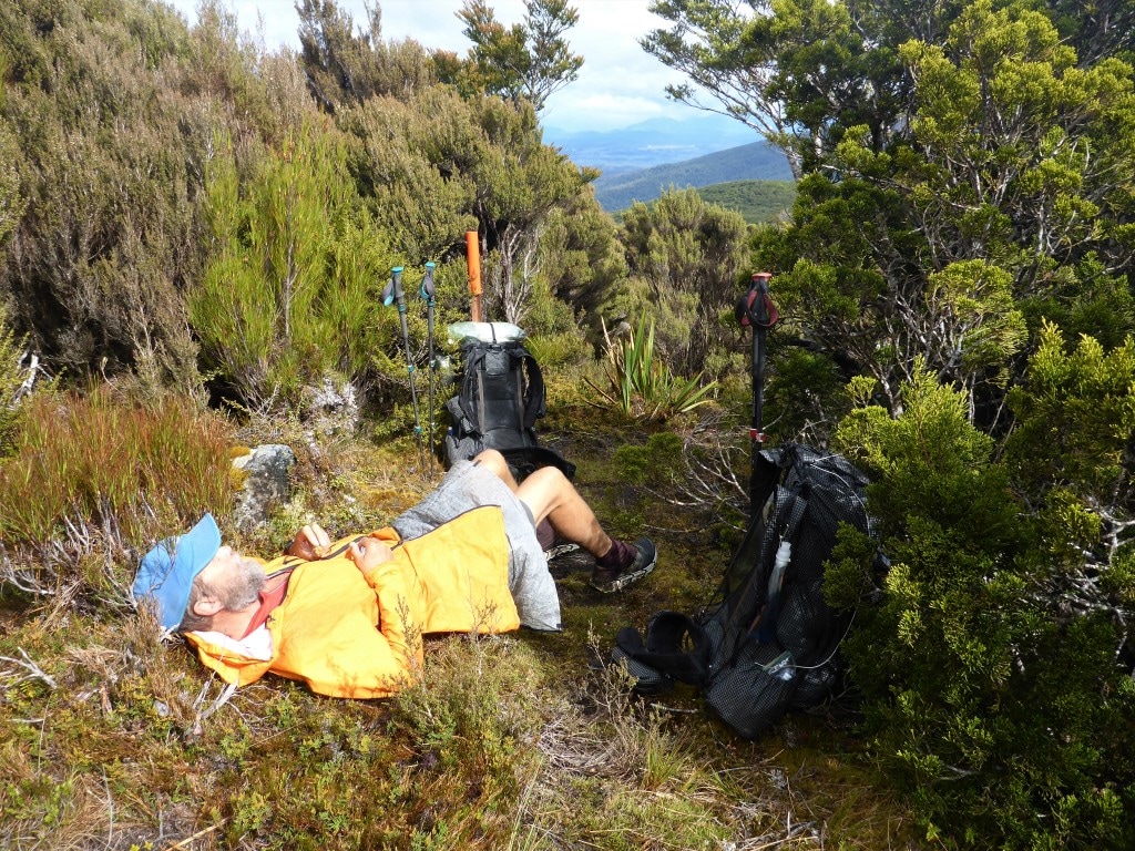
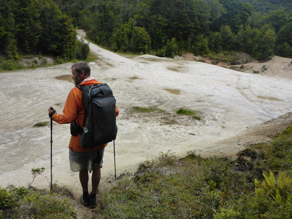 We abruptly popped out of the forest onto a bank above the disused quarry! We stopped here for some lunch for and hour or so and I took the opportunity to lie down in the sun (yes, sun!!) to try and rest my back. We then set off again for the one hour, 3.8km trek up to Bald Hill - a 350m climb (to 805m asl). This was on the aforementioned lime-crush road surface so was nice underfoot albeit the climb was unrelenting, with no flat spots to “take it easy” until right near the top!! We stopped at the tower behind one of the buildings, out of the wind, and updated info on our phones - as well as having a chat with Amelia - for 15 minutes or so. Handy having a cellphone site atop the hill as well!!! It was then back down through similar terrain as earlier in the day, starting with marsh and tussock heading down eventually back into forest. It was again muddy and reasonably steep in the odd place. Belinda had a first for her today - she caught her foot on a very small stump on the track and did a downhill “faceplant”!! Luckily she was OK (years of practice falling off horses!!) and after a short break we were underway again. We thought afterwards that a photo might have been appropriate?! As the day wore on, I had a couple of slips in mud as well that were a real issue for my back. But we negotiated the forest and finally arrived out of the forest section onto Merrivale Road (a gravel 4wd track at this stage) at about 1700.
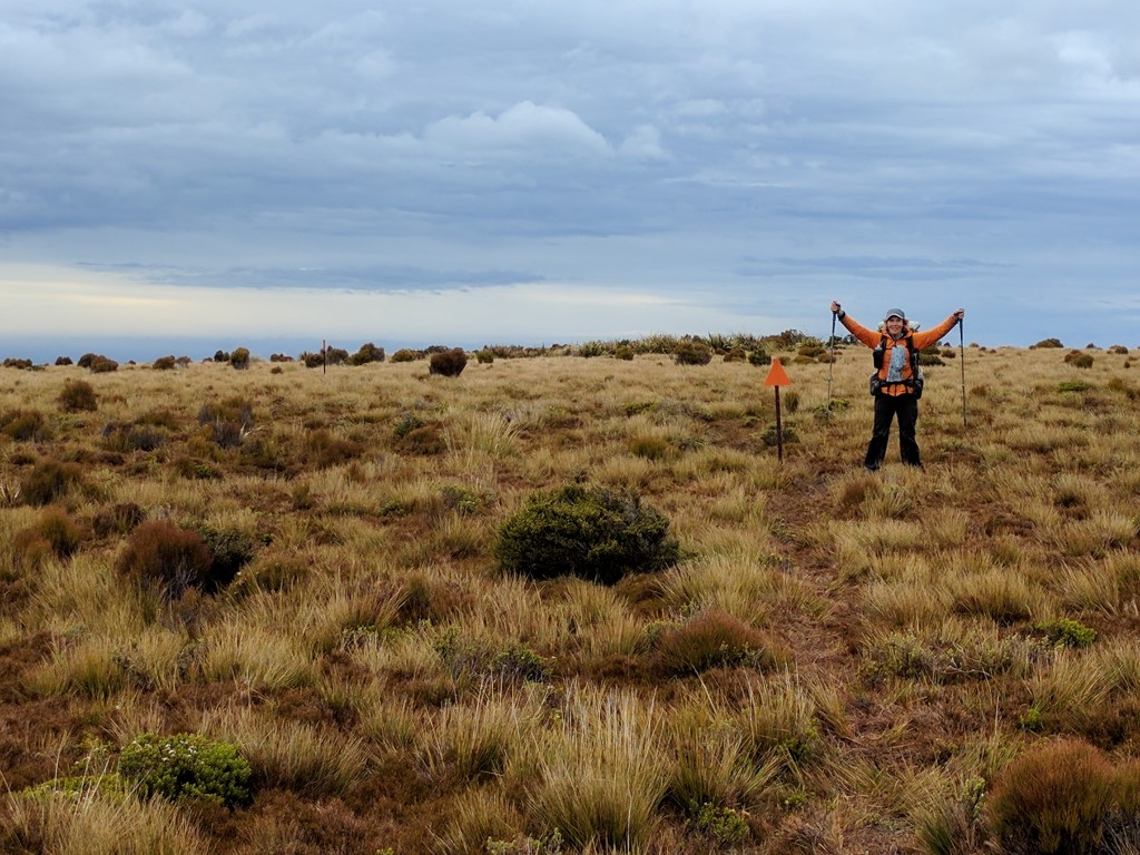
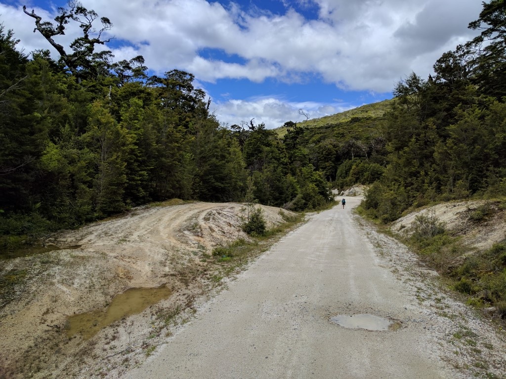
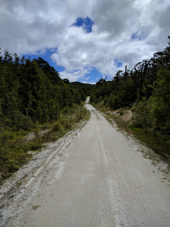 And from the same place, looking up at the start of the 3.8km climb.
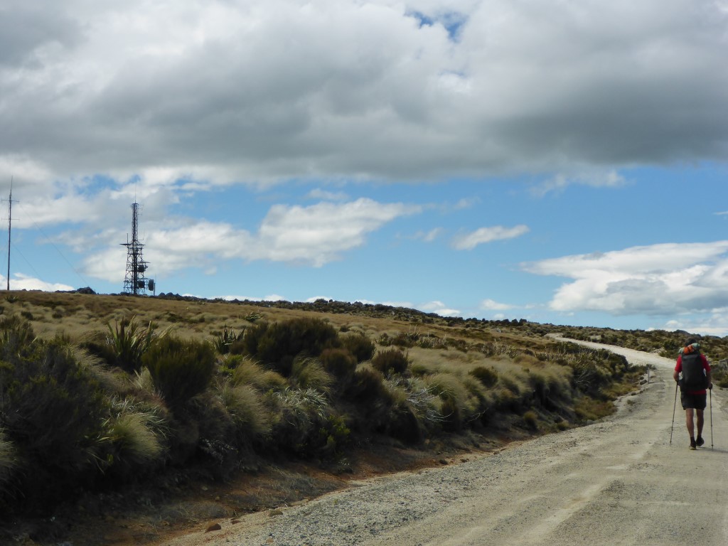
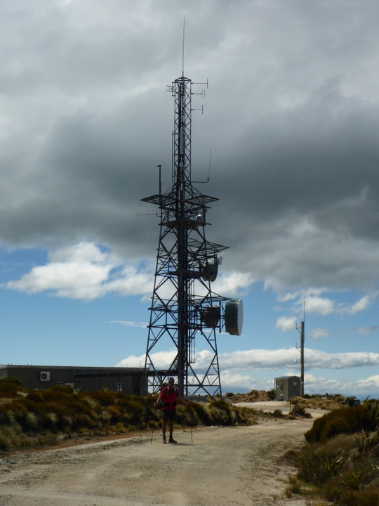 At the top - 805m asl.
 This was probably one of the wettest areas we had to cross during the day, as we started the descent.
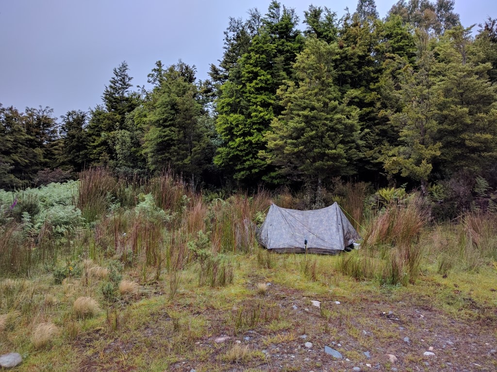 Squeezed our tent onto some grass (and rushes!) at the Merrivale road end, just after emerging from the bush. Its never as easy as it looks to find the right spot!! As I was pretty sore, we decided to pitch our tent here for the night since it was still reasonably fine weather. It took a while to set up - I was pretty useless! We were going to cook dinner but light rain set in so we hopped in the tent for a bit. After a good chat about the state of my back we took the hard decision that to go any further was pointless at this stage. Once I was up and walking I was not too bad, but I wasn’t enjoying it much. Belinda was having to help me get my shoes and socks on and off and get my pack on and off also, as well as doing most of the set-up and take-down of the camp - she had also taken one of my food bags for the first half of today as well - which was not sustainable. So, disappointing as it was, that was the decision. I rang our nephew Sam in Gore, who had offered to help if we needed it (school holidays for a secondary school teacher luckily!), and asked if we could take him up on his offer. So we arranged to meet Sam at the intersection of Merrivale and Otautau-Tuatapere Rds at 1100 in the morning. This would give us an 8.5km walk in the morning (less than two hours). He also offered to take us to Invercargill to catch a plane which made things much easier for us - thanks Sam :-).
Having made the tough decision, we decided that we didn’t need a cooked dinner (still raining!) so we had a party with roasted cashews and pork crackling, followed by a Bounty Bar for dessert!! Trying to make the most of a bad situation!! :-) It was fairly chilly so we soon wrapped up in the sleeping bags and dozed off!
0 Comments
Leave a Reply. |

AuthorBelinda and Anthony (aka Tony) Hadfield made a decision, in their late 50's, to do something a "bit different" and walk New Zealand's 3000km Te Araroa Trail over summer 2015/16 - although updates will now tell you that this plan will take longer now!!. As the old saying goes - "don't leave home 'til you've seen the country"!! Archives
January 2018
Categories |
 RSS Feed