|
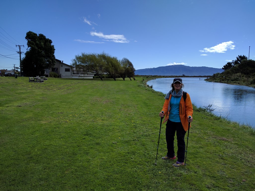
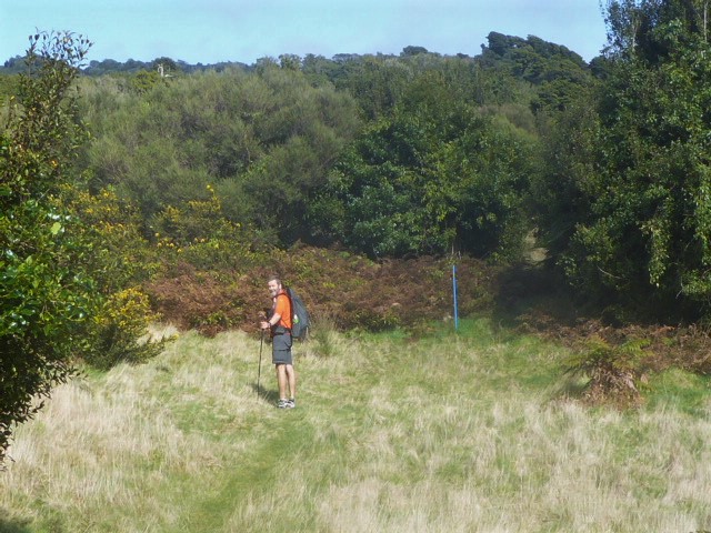
Today was just a plan to "clean out" this section of mainly road walking - hopefully leaving us four day hikes to get to Wellington over the next few weeks. I once again forgot to restart the Suunto after our second cafe stop, so missed about 800m of recording - but we ended up doing about 14.5km to the Otaihanga boating club today - GPS data here. Mostly downhill and a fairly easy walk, although, as we locals know, the road is pretty narrow in places with small margins. Belinda's sister dropped us off, with their mum, today at the spot where our daughter picked us up after our Pukeatua Track section a few days back.
Not a huge amount to report today as it was a gentle "run" through an area we know well. But we did take some photos on the way anyway, for the record!!
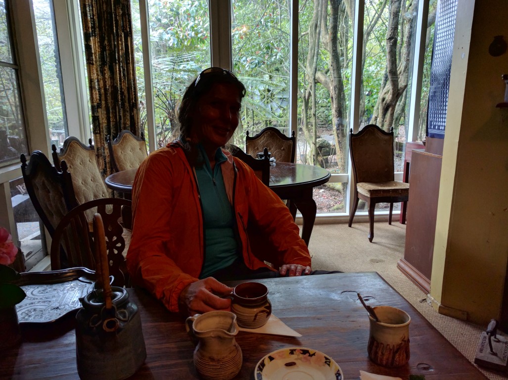
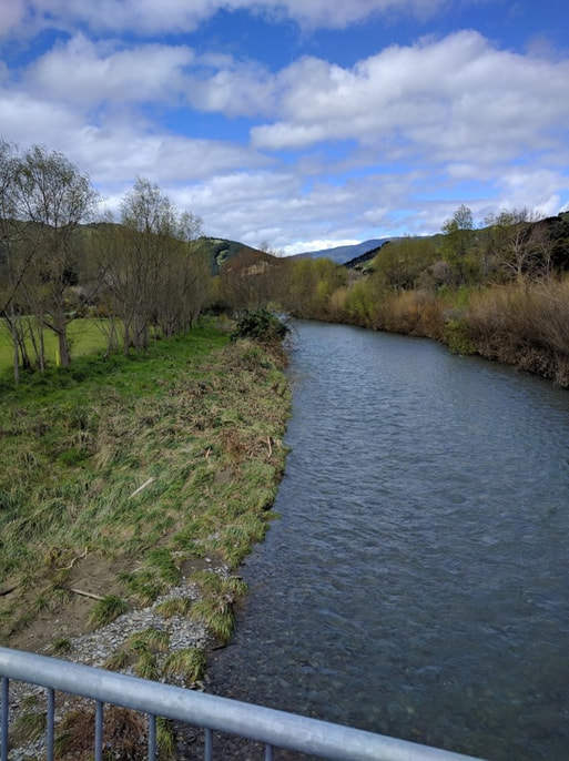
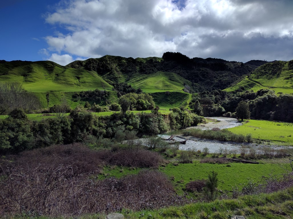 Following the river as we went. 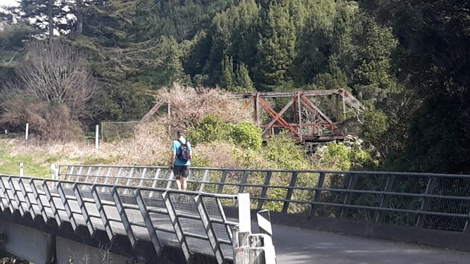 The old bridge in the background is fenced off - used to be even more farming around this area. One thing we did intend to do today is stop at a couple of well-known local cafes on the way (as time was not an issue)!! The first one was Wilf and Jan Wright's Potters Kiln Cafe (closed Mon/Tues) on Ngatiawa Rd just before it joins with Reikorangi Rd. We noted in the visitor book that a number of TAers had stopped in on the way past. As one guy who had come through from Poad's road said "tea and scones never tasted so good" after 6 days in the bush!! Well worth dropping in on the way past.
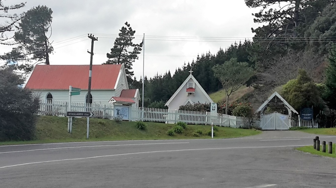
Then it was a short walk to the intersection of Reikorangi Rd, with the old church on the corner, and a walk down into Waikanae and our next cafe. This is Relish Cafe (closed Mon/Tues) on the corner of Elizabeth and Anne Sts. Anne and Allan McNair provide lovely food and refreshments - also worth a stop if you're feeling like another pleasant break!!
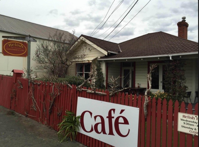 Relish Cafe - had to borrow the photo from the internet! Then it was across SH1 and down the Waikanae River walk - we took the northern bank route down to the first footbridge and crossed there - you can also walk further down the north bank to a second footbridge near the Otaihanga Domain. On the way we stopped to look more closely at the new expressway bridge across the Waikanae River. This has a lot of relevance for us as we currently live on SH1 north of Paraparaumu and, with massive traffic increases over my lifetime there, getting in and out of our driveway can be a challenge!! The new Expressway which is being constructed (originally scheduled for completion mid 2017, but may even be open by Christmas 2016!!) will become the new SH1 and take a huge amount of traffic off "our" road - looking forward to the change!!! Then it was a short walk to the Otaihanga Boating Club where we had planned to stop (thanks again to Julia, Belinda's sister, for dropping us off and picking us up!!).  The new Expressway Bridge across the Waikanae River.
 End for the day - Otaihanga Boating Club in the background, with Kapiti Island behind the rivermouth.
0 Comments
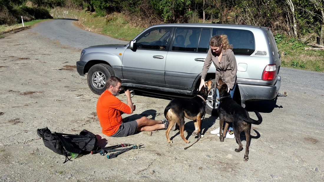
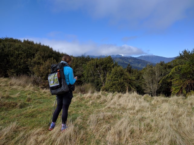
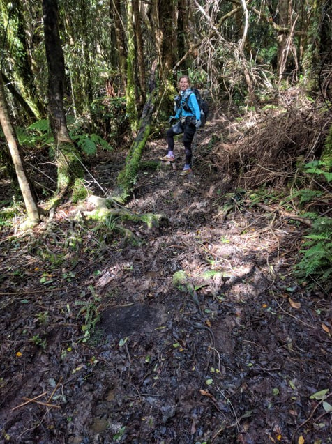
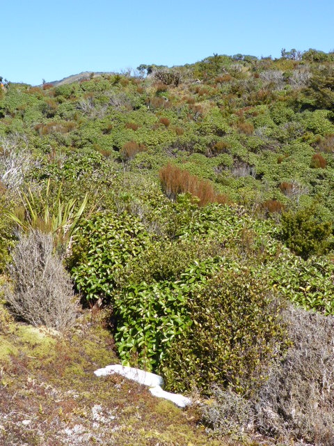
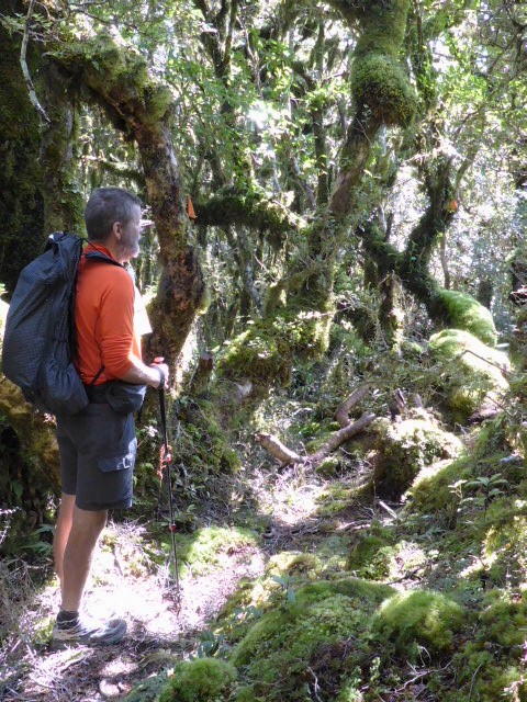
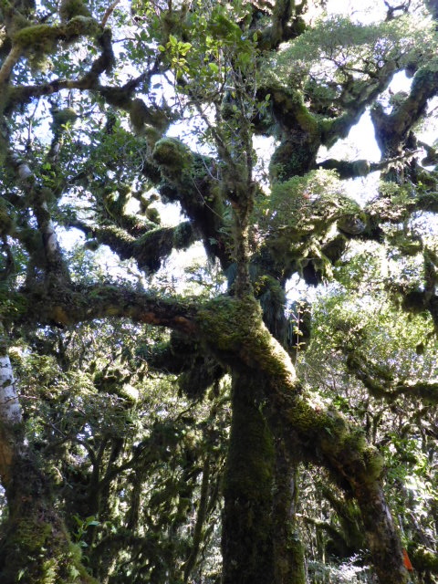
Well ............ the day finally arrived where we set off on the next phase of the journey. As noted earlier, our TA journey has been somewhat different from what we originally planned but we are firmly in the "it is what it is" camp and are loving it however it happens! We have recently had a typical changeable weather event with a nasty winter storm coming through last week, but we could see a weather window opening up after it luckily - so decided on Sunday 11th Sept as the day we would restart. As noted on the home page, we are intending to section hike the Otaki Forks to Wellington section, from our home base in Paraparaumu on the Kapiti Coast, over the next 6 weeks or so as time allows. Then it will be on to the rest of the TA (Taumarunui to Otaki Forks, followed by the South Island!). We set off from the bridge at the main Otaki Forks carpark (just south of Parawai Lodge) at around 0915, having been dropped off by our lovely daughter :-). The day's GPS tracking data can be found here. Ended up doing 17km in 6hr10', including around 45min of stops along with almost 1000m ascent and descent - so, all in all, a reasonable workout for our first significant day of walking since April!! We were pretty pleased with how well we walked and how the bodies stood up at the end, although I would have to say I was pretty sore (Belinda less so) afterwards and relished a couple of whiskys later in the evening (a luxury not usually afforded on the trail!!) It was about 1.7km up the gravel road to the carpark at the start of the Pukeatua Track, which was a good opportunity to limber up for the climb ahead. Then it was into the hills and the start of a steady climb up to around 800m (Pukeatua). This is mostly regenerating native with a few clear areas - lots of camping possibilities (although no water). A pretty good track to start with - in fact the whole day was not too bad, although it was definitely a "tramping" track with plenty of roots and some mud as a result of the winter rains. I guess we think of parts of the Northland Forests and the ascent to, and descent from, Mt Pirongia and compare things to that - which makes today seem relatively innocuous!!
 Regenerating bush out of what was once farmland. Blue poles as well as orange triangles today!
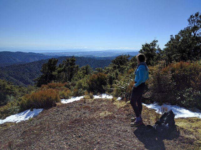
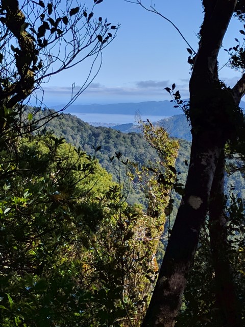 Nearing the summit we got this shot out west. Paraparaumu on the coast in the bottom of the "V" and the southern end of Kapiti Island in the background
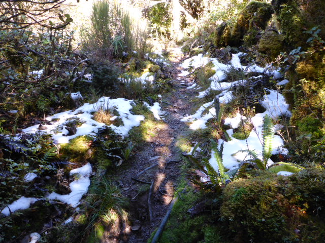 And the remnants of the snowy southerly storm were still evident above about 700m. Above about 700m we came across pockets of snow left over from last week's southerly storm, but not enough that we had to even walk in any!! Just before noon we arrived at a lovely open area just below the Pukeatua summit and decided (as per the notes!) to take the opportunity for a lunch stop. As you can see from the photos, there were some lovely views both east to the Tararuas and west to the Kapiti Coast. Virtually all the cloud had gone by this stage and with no wind and around 14 degrees C, it was a beautiful place to be!!
 Only slightly bigger pockets of snow at 800m :-)
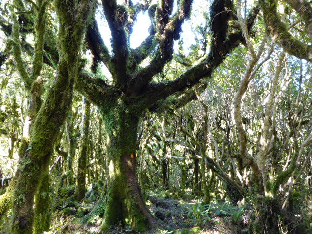
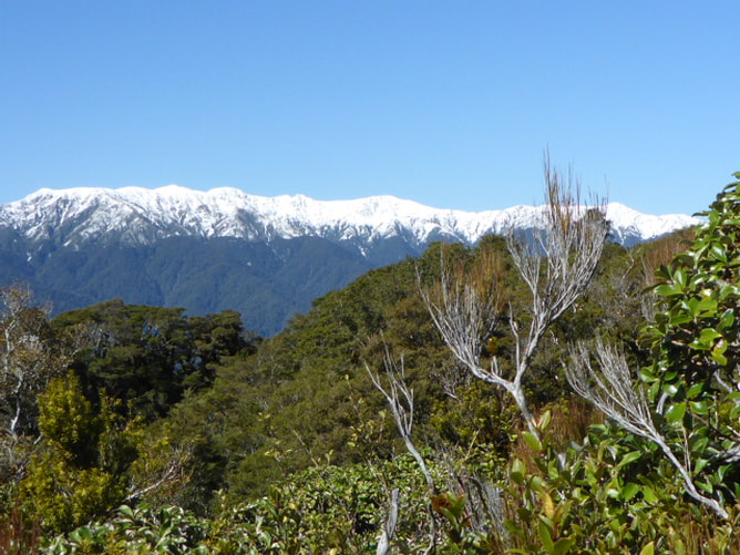 Still quite a bit of snow on parts of the Tararuas - luckily we're not going into the Tararua stretch (Levin to Otaki Forks) until later in November! After a pleasant 25 minute break it was up and onward (actually mostly downward, as you can see from the GPS data). There was the occasional fairly steep descent that required some care (roots, rocks and mud again!) but nothing too problematic. The descent started through more of the same regenerating bush, with more established bush in places - which even I found quite pleasant walking (I'm not so much of a "dense bush" person!!).
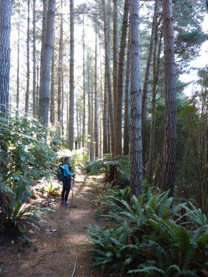
Eventually we found ourselves in some plantation pine forest as we dropped down closer to the Mangaone Road end of the track. Nice soft pine needle carpet to walk on - something we are used to from many walks on the farm! While its not native forest, it does have its own beauty at times.
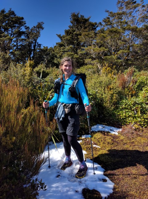
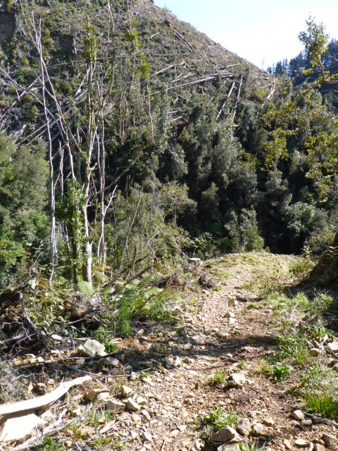
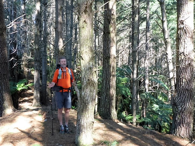 I was there too! Then it was down a forestry track, past some newly logged forest (the Pukeatua Track had just reopened last week after a couple of months closure for logging) and our first wet foot crossing of the day!!
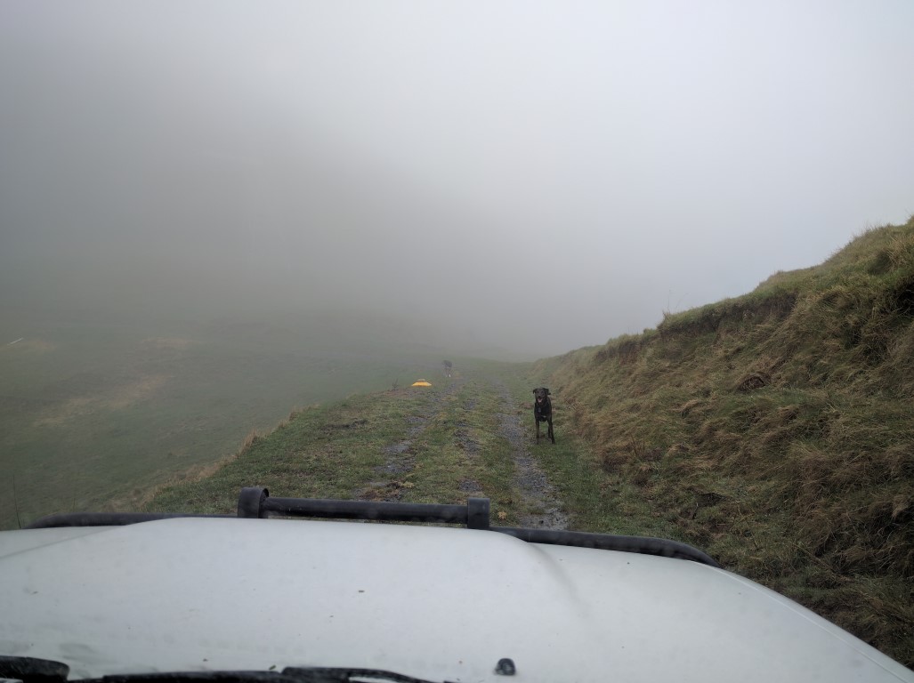
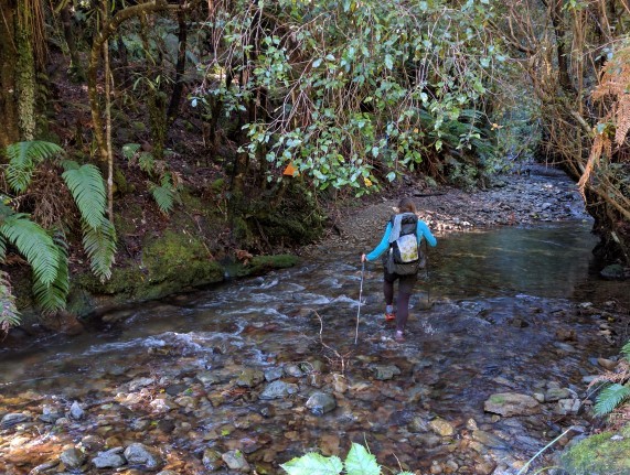 Only wet foot crossing of the day! Then it was a short walk out to the Mangaone Road carpark (including a swingbridge over the Waikanae River). We had reception so rang our daughter to come and pick us up - we headed off down Mangaone Road for about 2km before Amelia arrived, so our next section will start from there!! 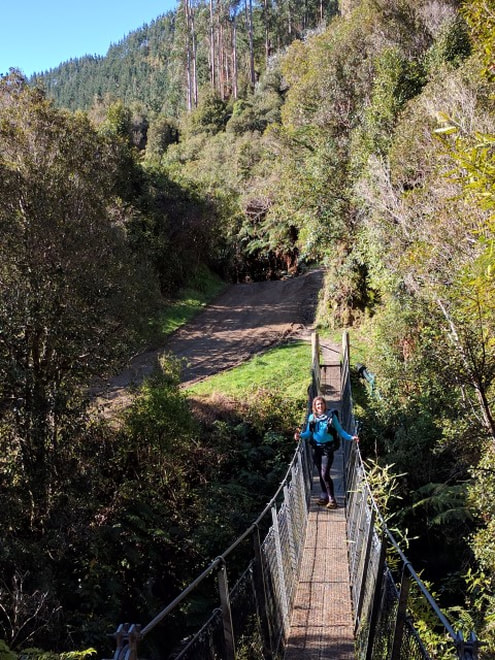 B on the swing bridge just before the Mangaone Rd carpark. Just for fun, and as an example of NZ's changeable weather, here are a couple of photos from a quick trip up the farm to check on cattle today (Tuesday - two days after our walk). This is only about 140m above sea level so you can imagine what you would see walking Pukeatua today - absolutely nothing!!! Couldn't see far enough to really check the cattle - luckily a bunch of them came to us when they heard the HiLux coming!
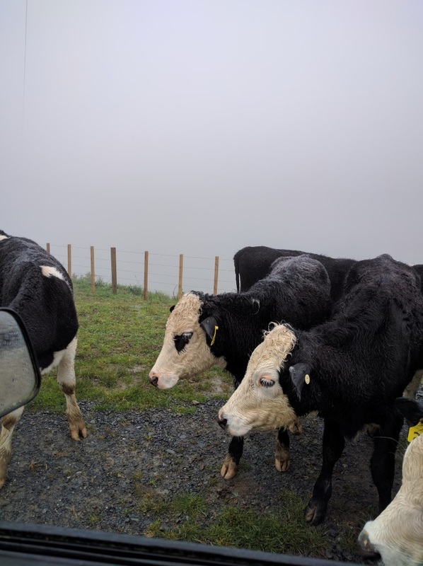 The Freisian-cross yearlings are very inquisitive - almost willing to stick their nose in the cab of the HiLux. The Herefords didn't get into shot! |

AuthorBelinda and Anthony (aka Tony) Hadfield made a decision, in their late 50's, to do something a "bit different" and walk New Zealand's 3000km Te Araroa Trail over summer 2015/16 - although updates will now tell you that this plan will take longer now!!. As the old saying goes - "don't leave home 'til you've seen the country"!! Archives
January 2018
Categories |

 RSS Feed