|
75 days walking, 2,515,298 steps later...and we have nearly completed Te Araroa North Island SOBO. (Still to walk 48kms for the Tararuas)
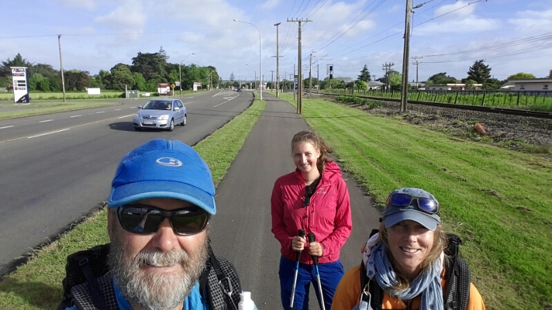
Anthony has done a tremendous job in recording our journey through the blog. Already, I am enjoying going back and reading where we have walked and looking at our pictures. There is just so much to reflect on. Our beautiful, beautiful country. I found it heartening to see many examples of good practice land management taking place. With farmers fencing off waterways, creating wetlands with plantings and seeing many instances of once pastoral land that should never have been cleared, now being allowed to return to its natural state, mainly into native bush. In contrast to that, the sad sight of productive land close to towns being bought, subdivided and sold for more lifestyle blocks. We experienced so much over those walking days but oh my goodness, the beauty and rawness of our country seems to burst through at any opportunity. The Tongariro and Whanganui regions spring to mind. We did well with the weather, a fair amount of luck and some judicious planning meant we had few days of actually walking in rain. The ground and walkways however still had their fair share of wet and we certainly experienced plenty of mud and wet shoes. Our last stint from Taumarunui saw us meet up with more wonderful people. Franziska, our young walking companion from Germany was very good company and I marvel at her bravery for taking on such a big challenge. As Anthony mentioned, we enjoyed our time with Greg, Gill and Kevin who were on the same campsite schedule as us on the Whanganui River. Greg has since achieved his goal of walking the NI TA in a continuous line, a great achievement! Others who enhanced our experience were Dave from Koitiata, Doc rangers from the Whanganui River, Ian, Peter and Marianne who willingly shared their knowledge and Joan and Grant for being awesome hosts. The South Island awaits. For all sorts of reasons we have decided to walk NOBO so to Bluff we go and will start to walk home. Wishing everyone who reads this a great festive season and all the best for the new year. Friends and family.....don't forget your word!!! :) B
2 Comments
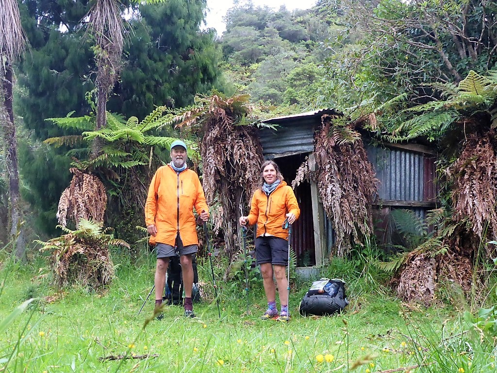
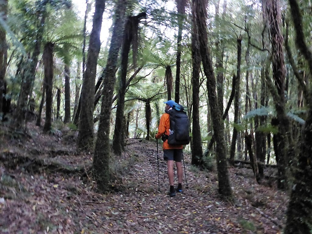
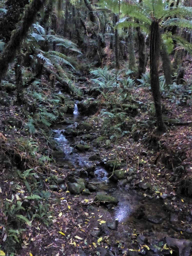
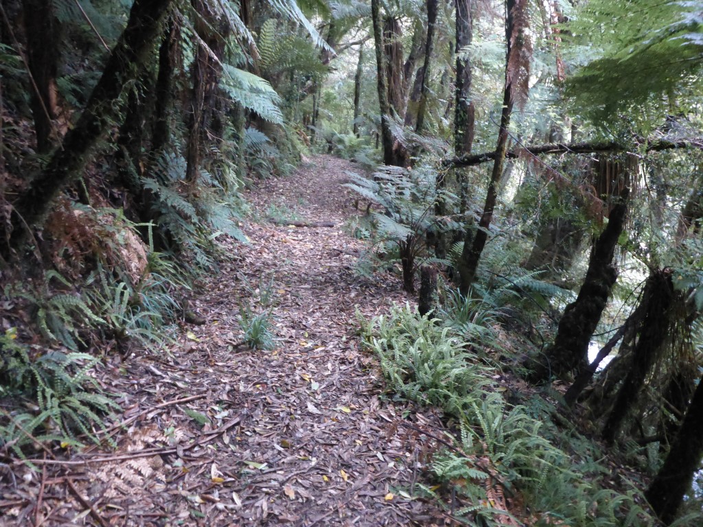
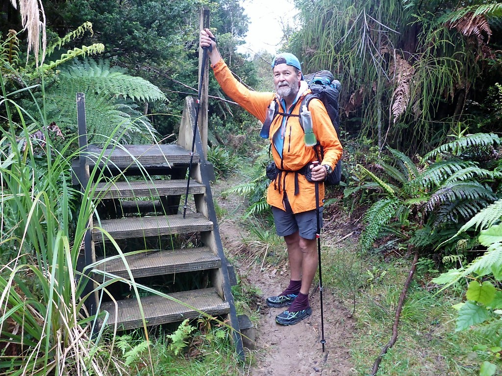
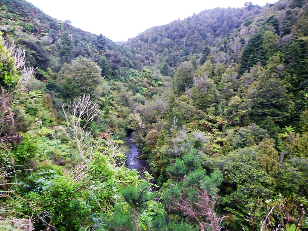
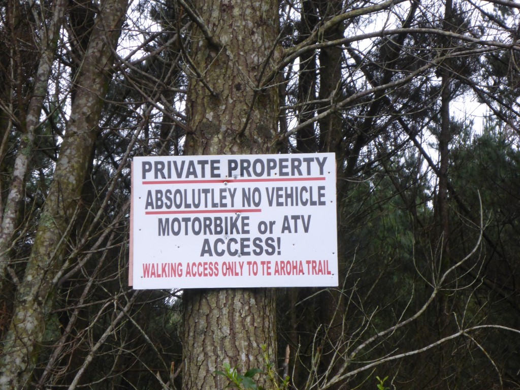
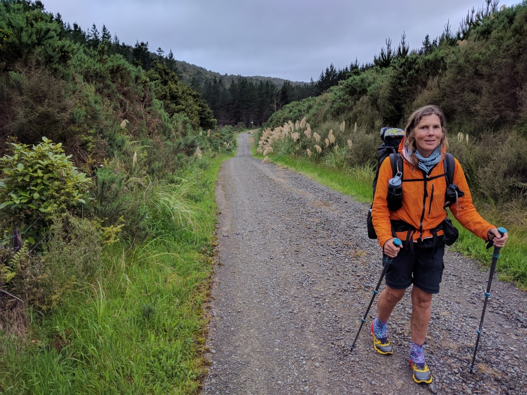
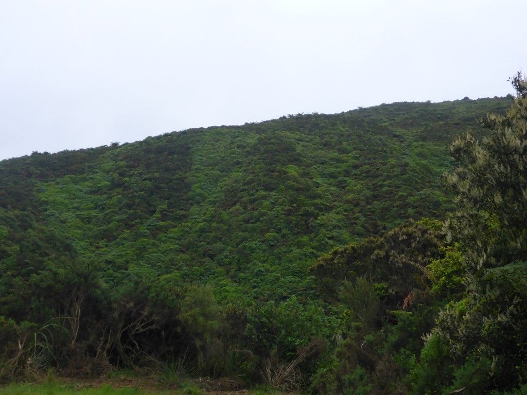
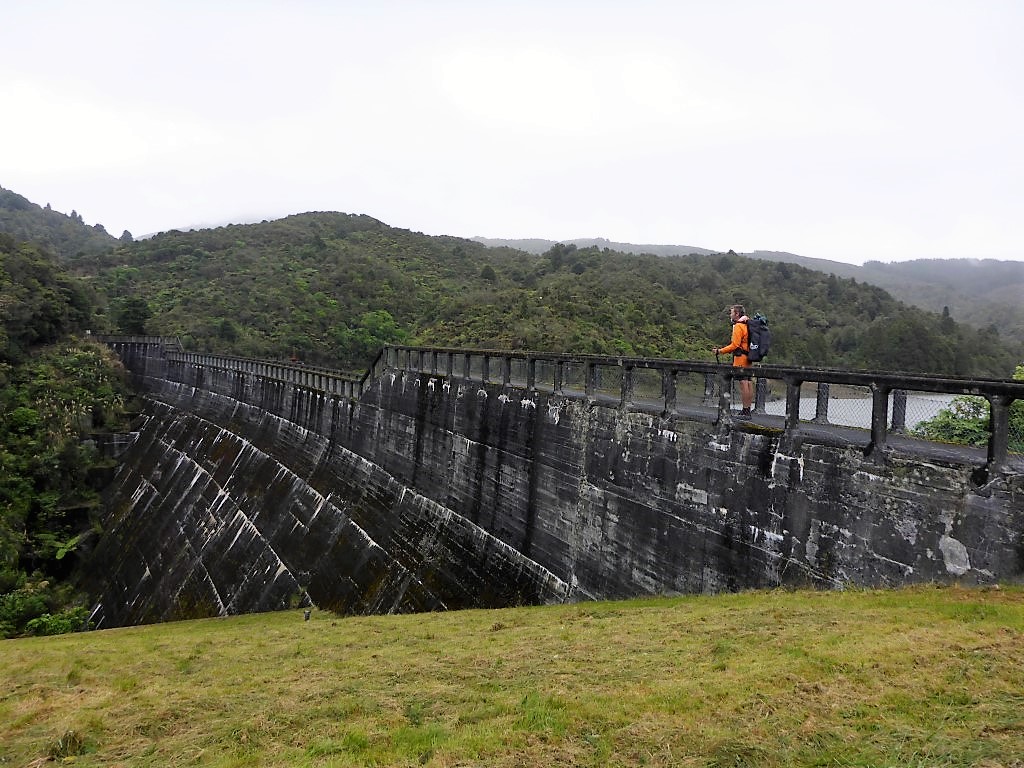
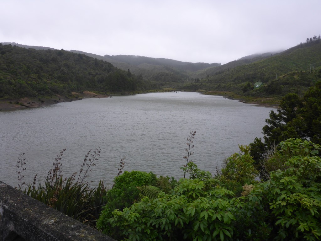
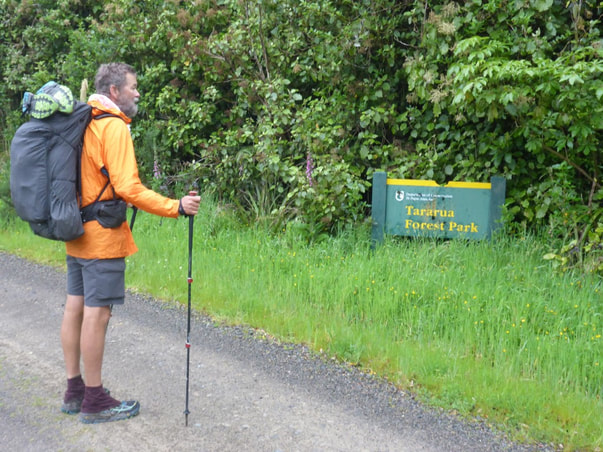
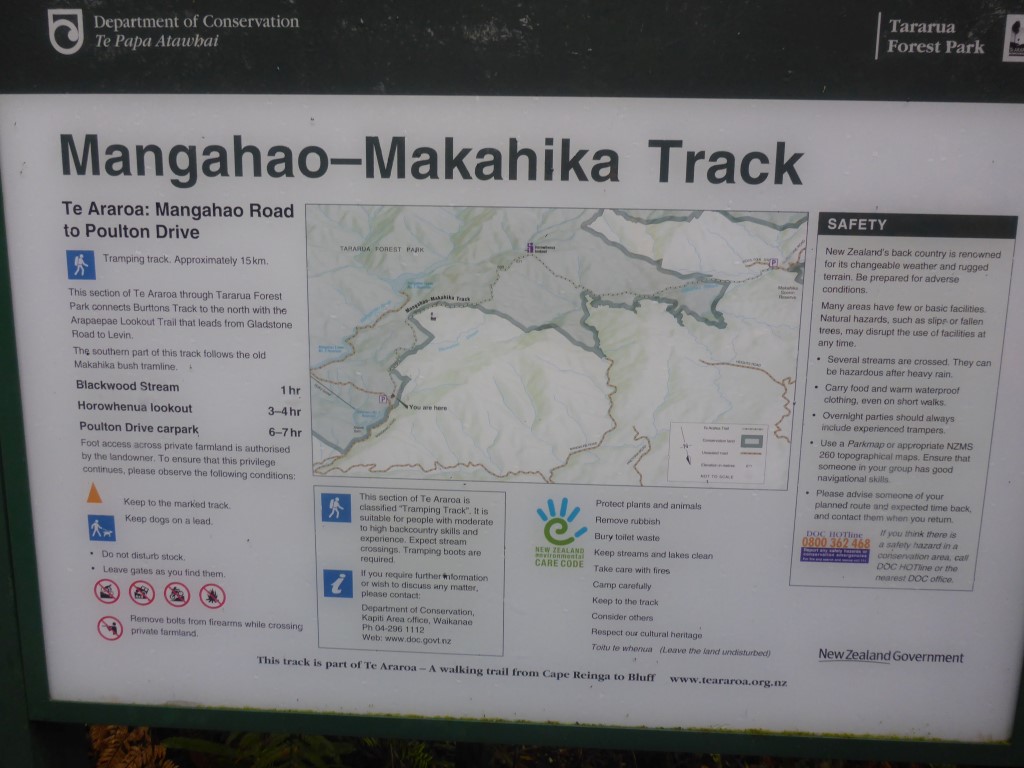
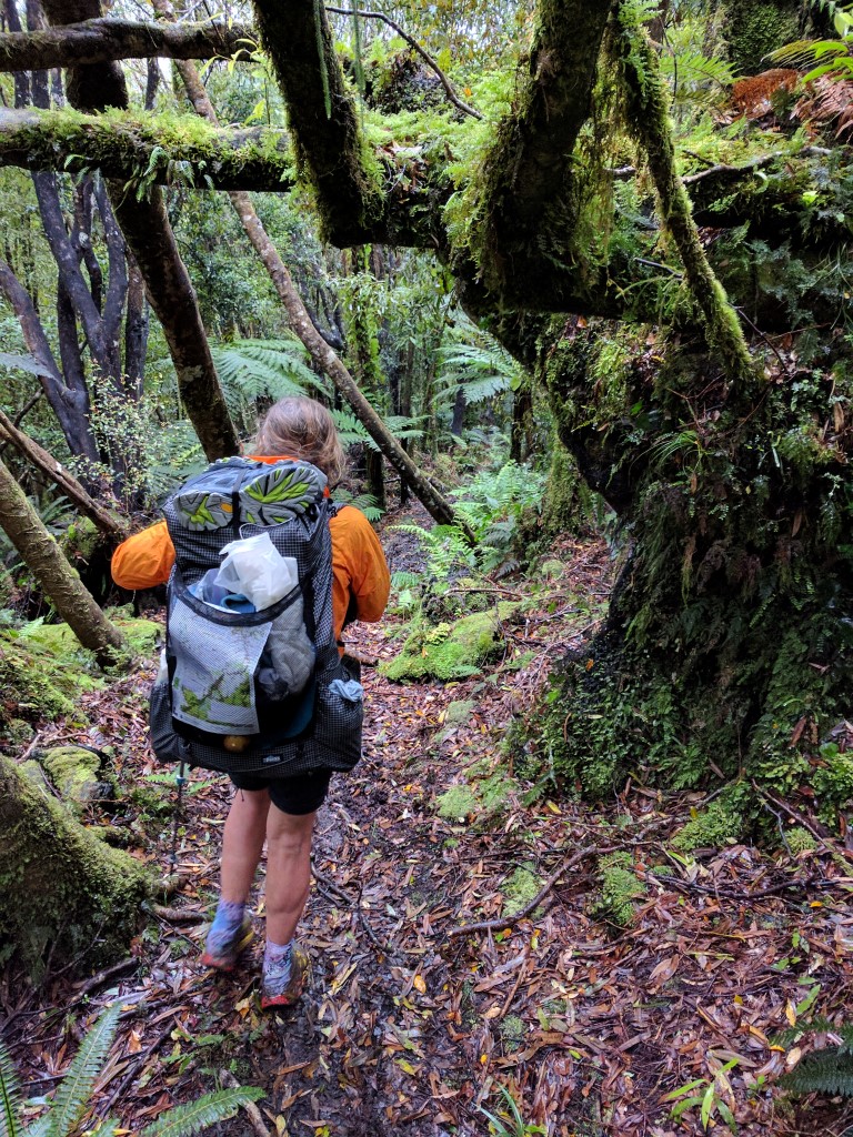
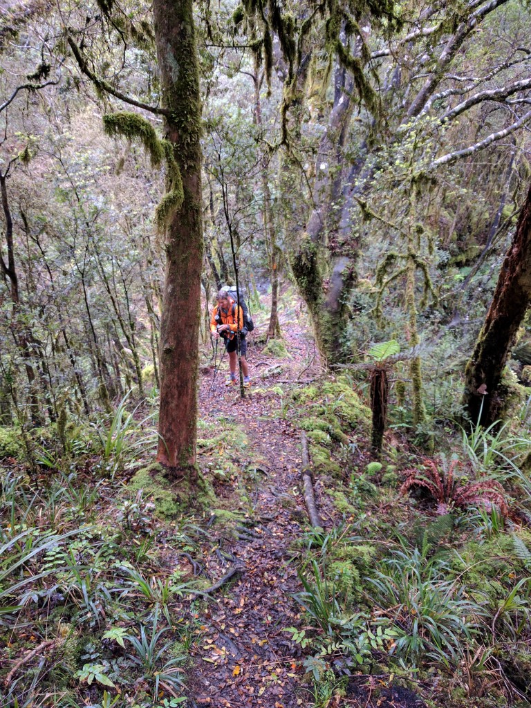
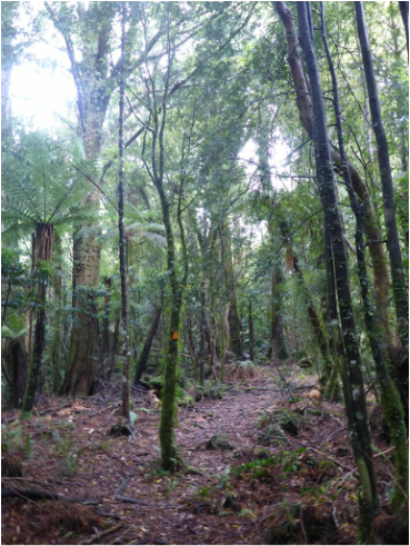
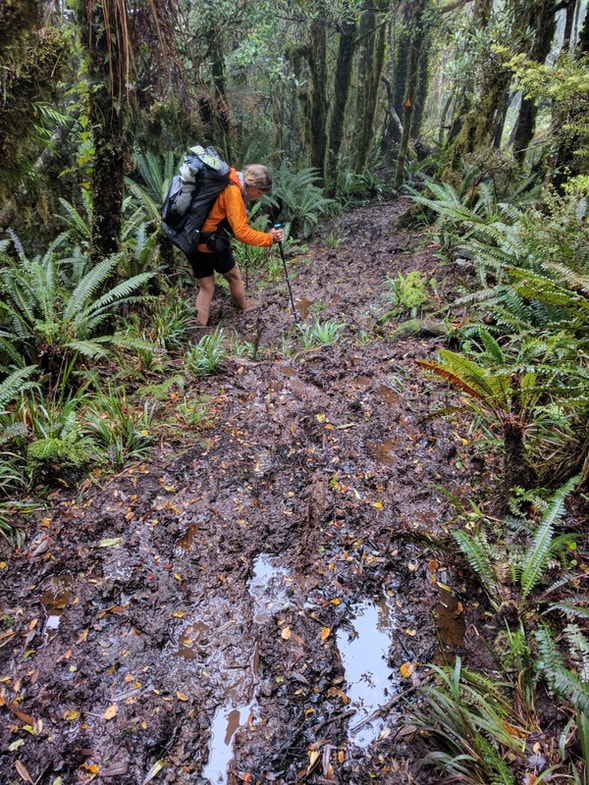
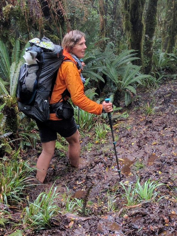
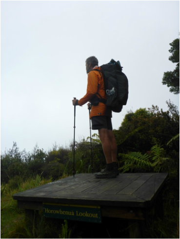
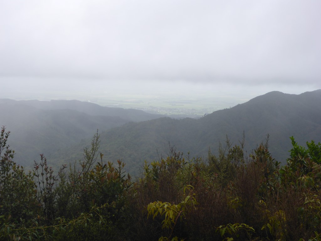
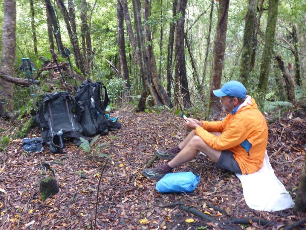
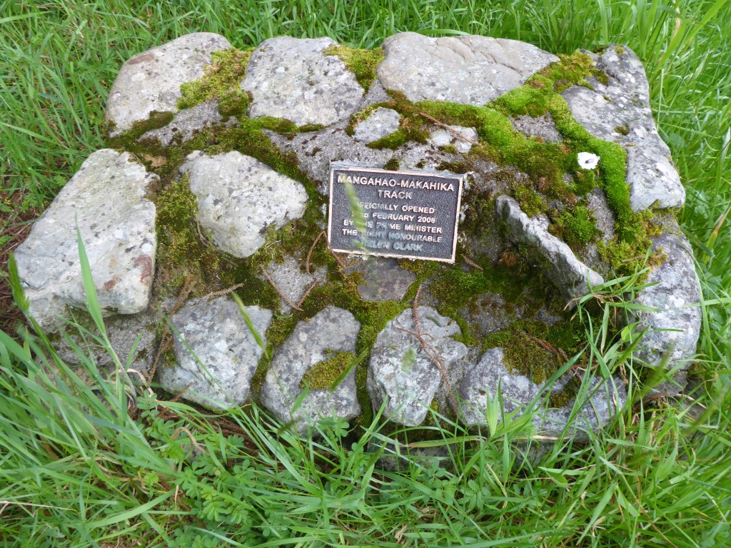
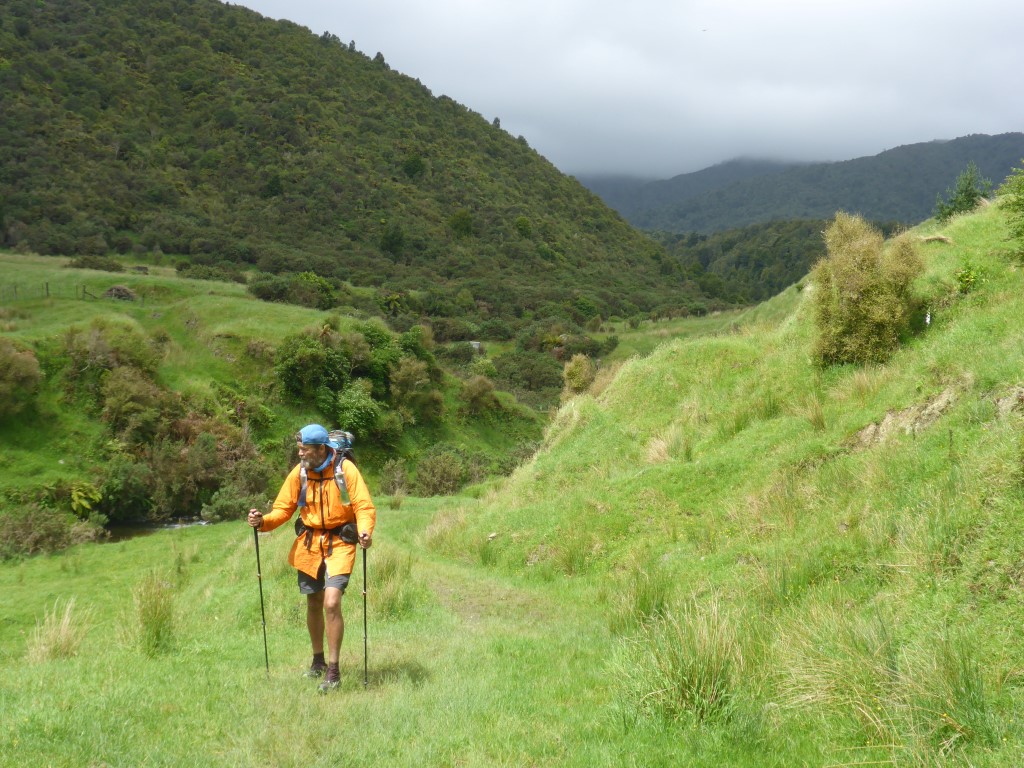
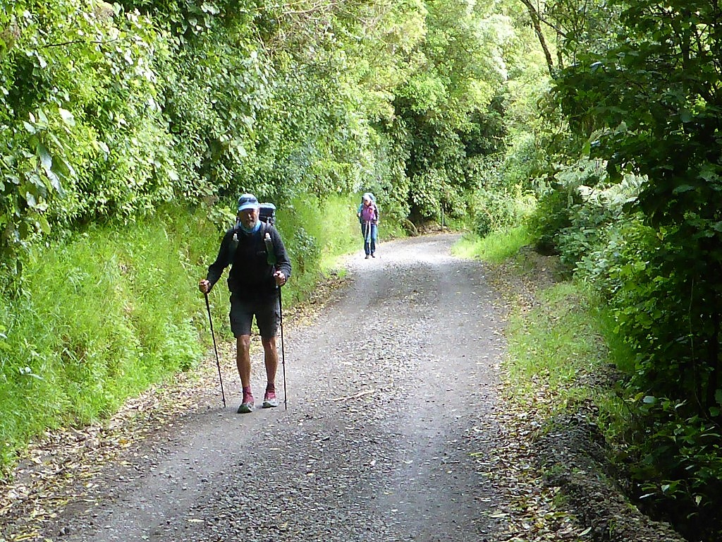
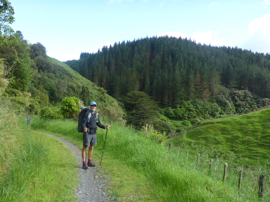
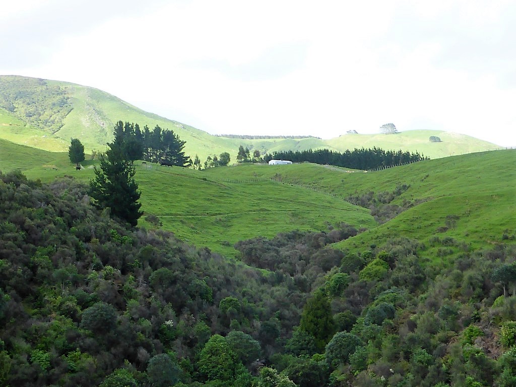
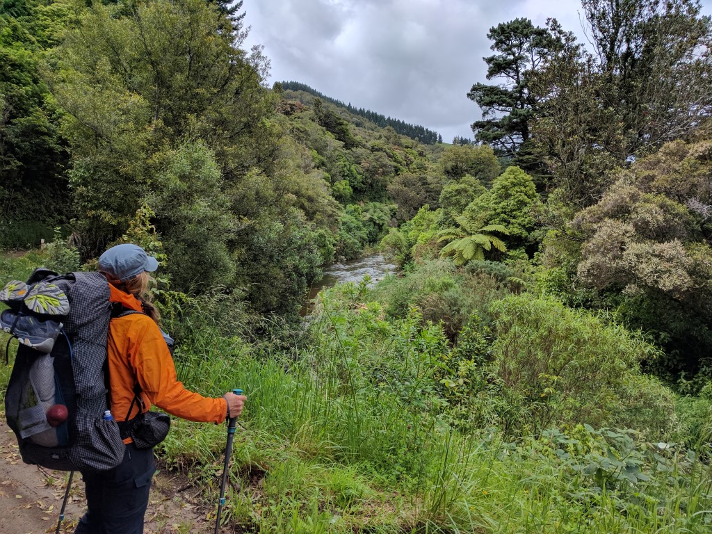
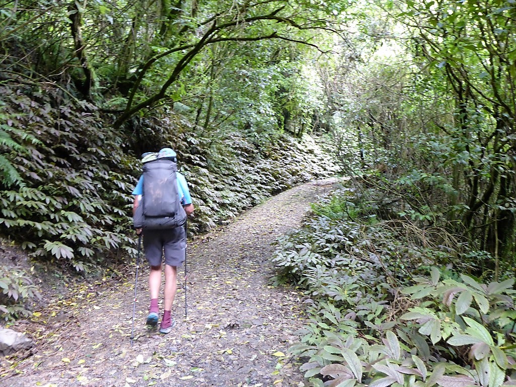
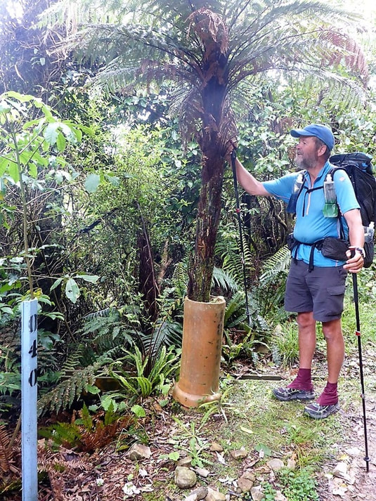
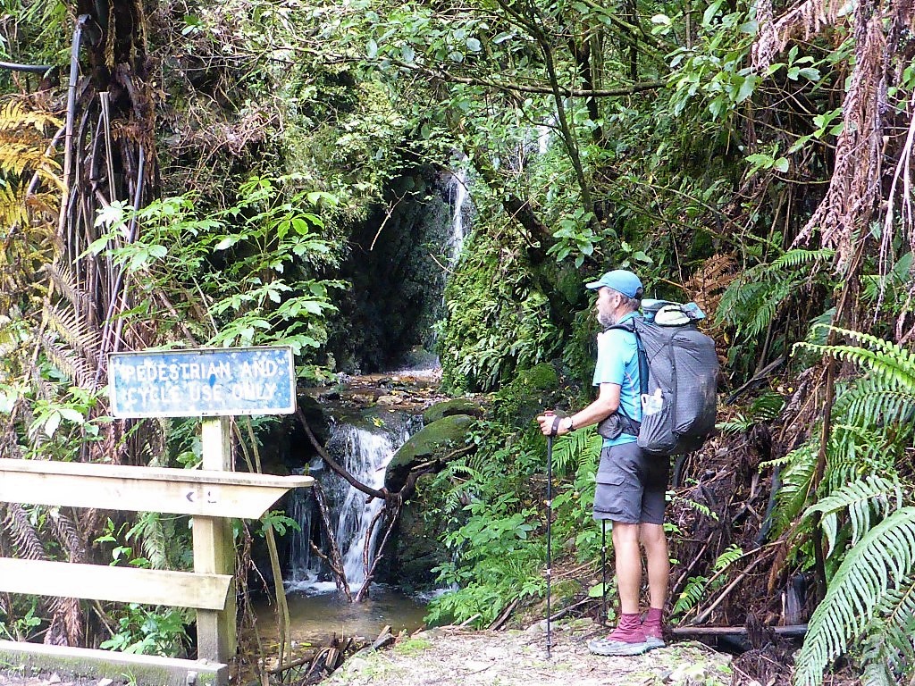
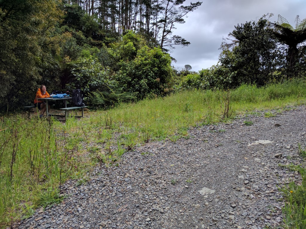
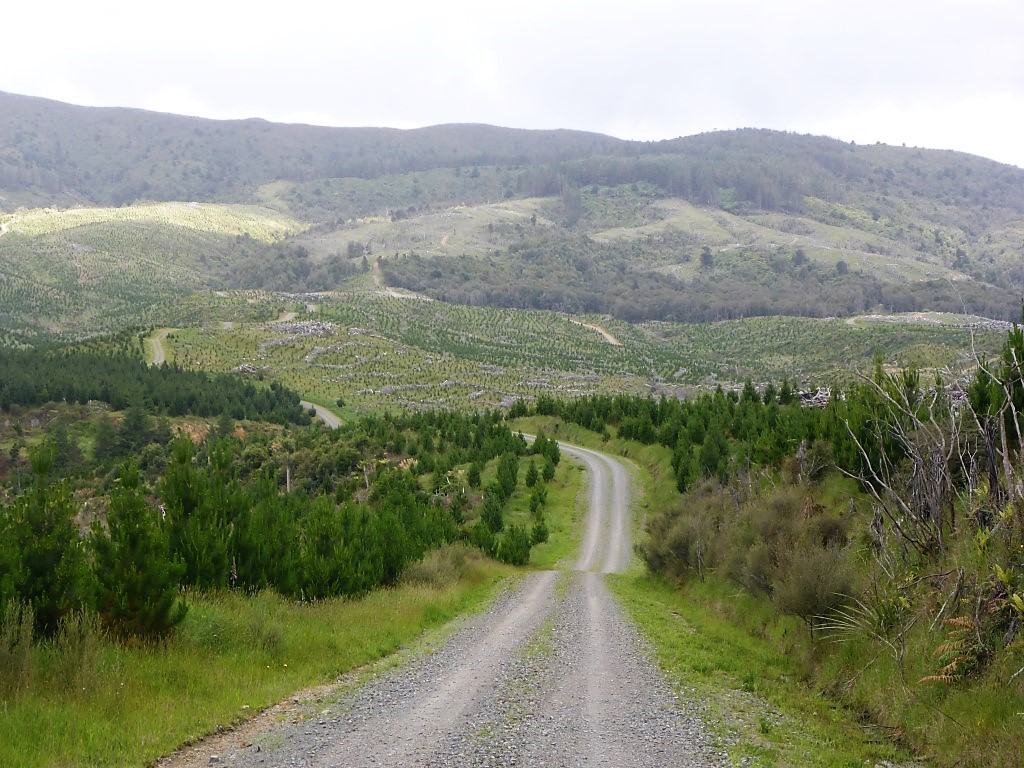
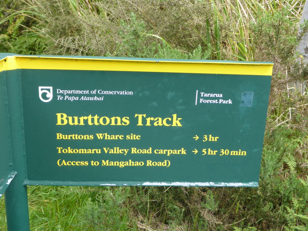
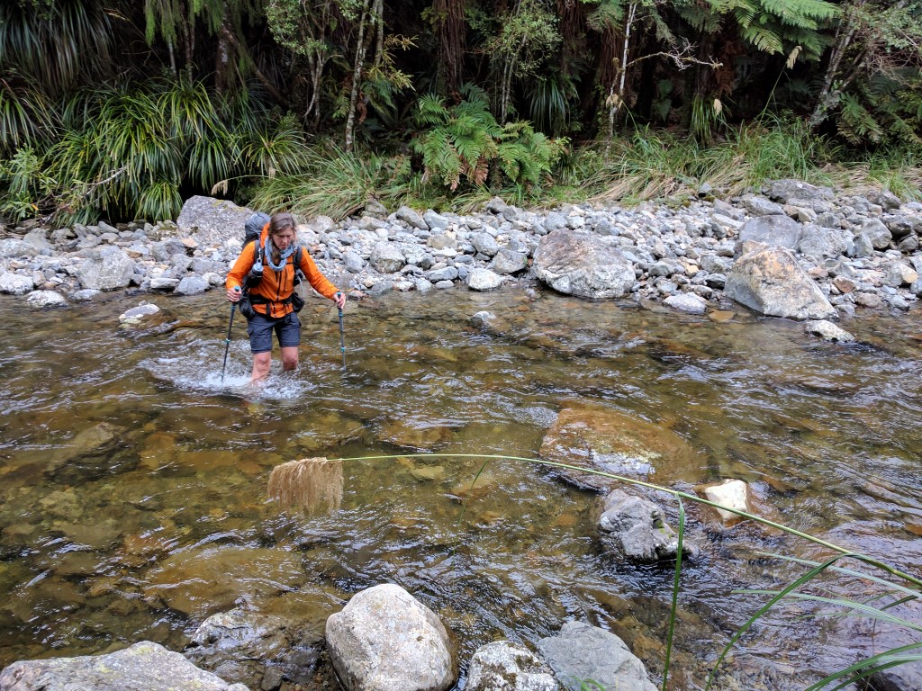
The plan today was simple - get to Poads Rd behind Levin by sometime this afternoon - where Belinda's sister Julia would (with Franziska) come and pick us up for a planned rest day (Wednesday), before potentially starting the next Tararua section on Thursday. We ended up doing about 28km today according to the Suunto, a little more than suggested by the TA maps, but still less than yesterday which was our plan! The GPS track for the day is here. I was awake at about 0400 and at about 0430 heard the little pitter-patter of light raindrops on the tent! We eventually got ourselves up at 0530 and Belinda boiled up some water while I started packing up. We had sprinkles of showers right up to our departure at about 0640, so it was a wet tent pack-up unfortunately - although we knew we would be at home that night, so drying it out wouldn't be an issue. From here we were still on the original Burttons Track, hand benched by Jim Burtton all that time ago. It was not too bad a track but was not a flat walk by any means. This continued through bush for about 3km when we came out into more open land and, after about 5km, we eventually hit the end of Tokomaru Valley Rd. This is no longer a public road, but is used to access the local hydro dams among other things - it also passes right by the Tokomaru No3 Dam. We had 3.5km along this gravel road before we got to the start of the Mangahao-Makahika Track. About 50m before this track start a ute pulled up alongside us. It was a dam worker who was checking things, so we stopped and had a chat with him. He said there had been some rain on the other side of the track this morning (around 6mm in an hour) which might add to the already wet conditions! He told us they had already had 500mm of rain this November in the dam catchment (of a 3000mm normal annual rainfall!), so it had been a wet spring!! We stopped for a short break on the road at the start of the Mangahao-Makahika Track (about 8.6km into the day) and set off about 0915. It said 6-7hr to Poulton Dr - we ended up doing it in 6hr which, given the state of the track and me feeling a bit knackered, we were very happy with!! The track started with a slightly steeper uphill pinch for the first km (20 minutes or so) up to about 480m asl. After a small descent for the next km or so, it basically became a steady climb from about 420m up to the 680m high point over the next 2 hours. This was very much a tramping track standard, with plenty of tree roots and mud to contend with, as well as a few stream crossings - all through bush though. The high point is along the Makahika Ridge and, soon after starting to drop off this ridge toward the west, we reached the Horowhenua Lookout. The notes describe this as giving a "grand vista of Shannon, the Horowhenua and the Manawatu". After looking at a photo below, I'll let you make your own mind up about the view!! Suffice to say it was still very windy and much of the day was misty drizzle and quite cool at the higher altitudes, although not necessarily heavy enough to get rainskirts out (just rain jackets)! Soon after that it was the Kapiti viewpoint - with a similar result! The terrain started to flatten out a little here and we went back and forward across the Makahika Stream numerous times (we lost count but were later informed that there are a total of 34 stream crossings in this section!). We went from getting ankle deep in mud to being ankle deep in streams, which washed it all off again!! Rinse and repeat!! After about 12 km of this track (about 20.5km for the day) we started to break out into more open areas of some grass interspersed with the bush. A couple of kms of this saw us at the boundary of the Tararua Forest Park, with one last crossing of the Makahika Stream, where the track crosses some private farmland before exiting onto Poulton Dr (at the end of Gladstone Rd). From here it was a 5km or so of gravel, then tarmac, road to the intersection of Poads Rd. About a km down Gladstone Rd, we came across the Makahika Outdoor Centre. This is well know on the TA Facebook groups as a great place to stay. Sally, who runs the place (and told us about the 34 stream crossings) with her husband, is very welcoming of TAers - even having them for Xmas dinner. We couldn't get cellphone reception to ring Julia so were at the gate considering going in to ask to use the phone when Sally bowled on out to invite us in!! She was more than happy for us to use the phone and invited us for a cuppa - we politely declined because of our pickup timing, but the offer was typical of the obvious hospitality TAers receive here!! She also chatted about the current conditions in the Tararua section of TA - one of their instructors had come across the day before in atrocious conditions (snow, 90kph winds, -10 wind chill), which gave us food for thought - although the weather is due to improve!! Another 45 minutes saw us at the Poads Rd intersection where Julia and Franziska turned up soon after to take us back home. The end of a fairly tiring two days of walking for we oldies!! We were happy to inform Franziska that she had clearly made the right decision to pull out when she did. After a discussion tonight at home, we decided that we would put off doing the Tararua section for now. The weather wasn't too bad probably but we were also pretty tired after the last 3 weeks of walking and a short break would be beneficial, especially given the last stretch is pretty hard work. We have even considered leaving those last 48km until after we have done the South Island - which would make Otaki Forks the end point of our 3000km TA journey, also allowing for a celebration at home!!! Something to think about anyway!
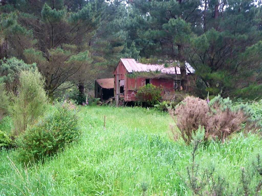
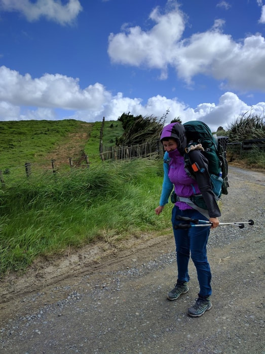
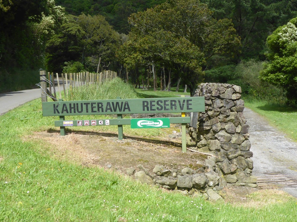
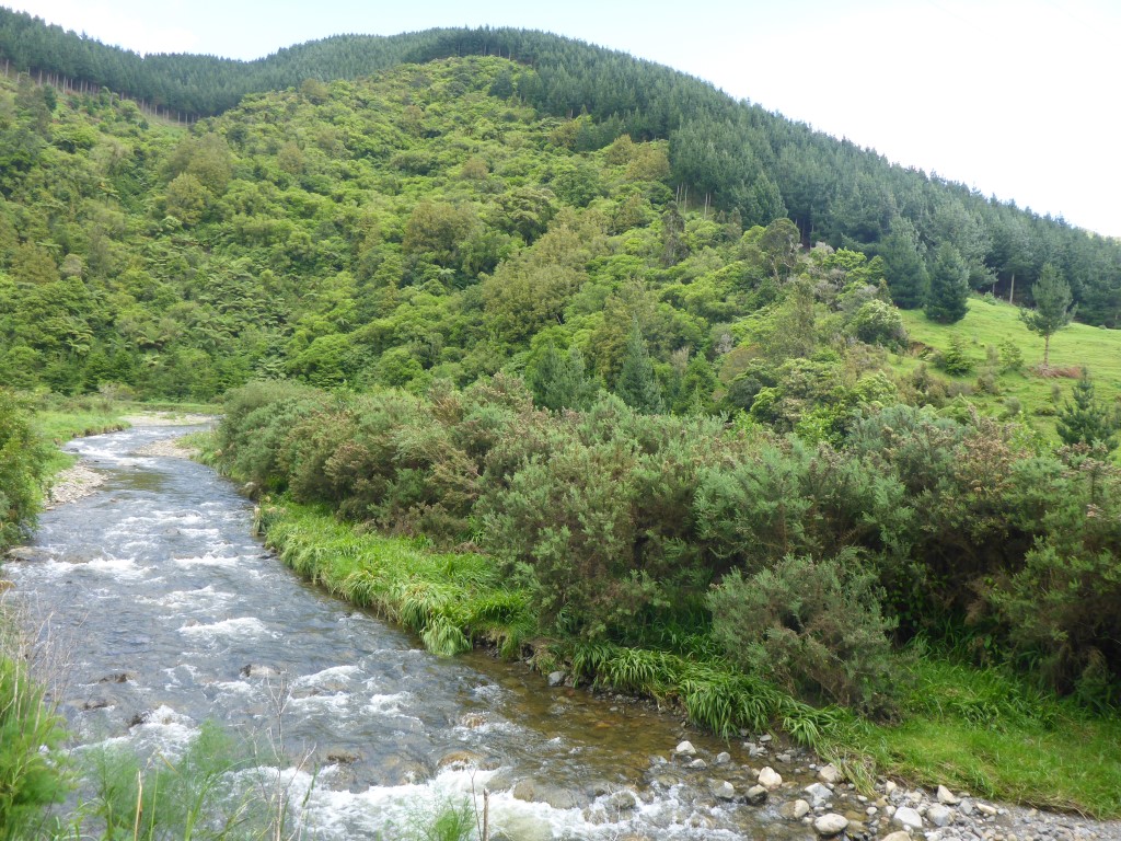
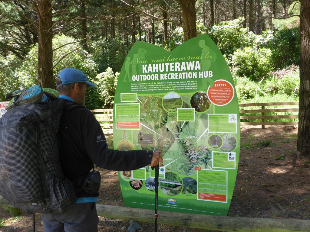
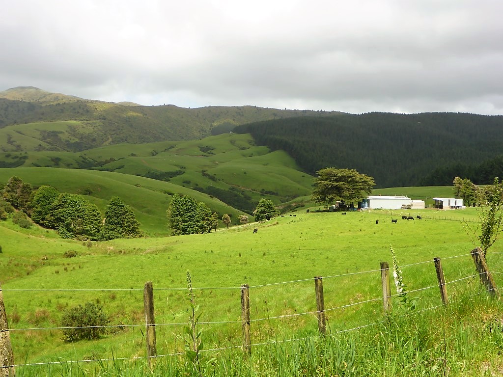
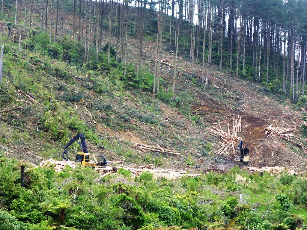
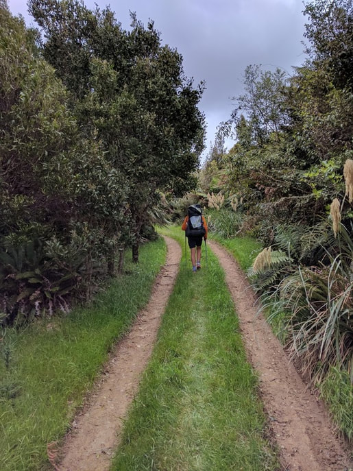
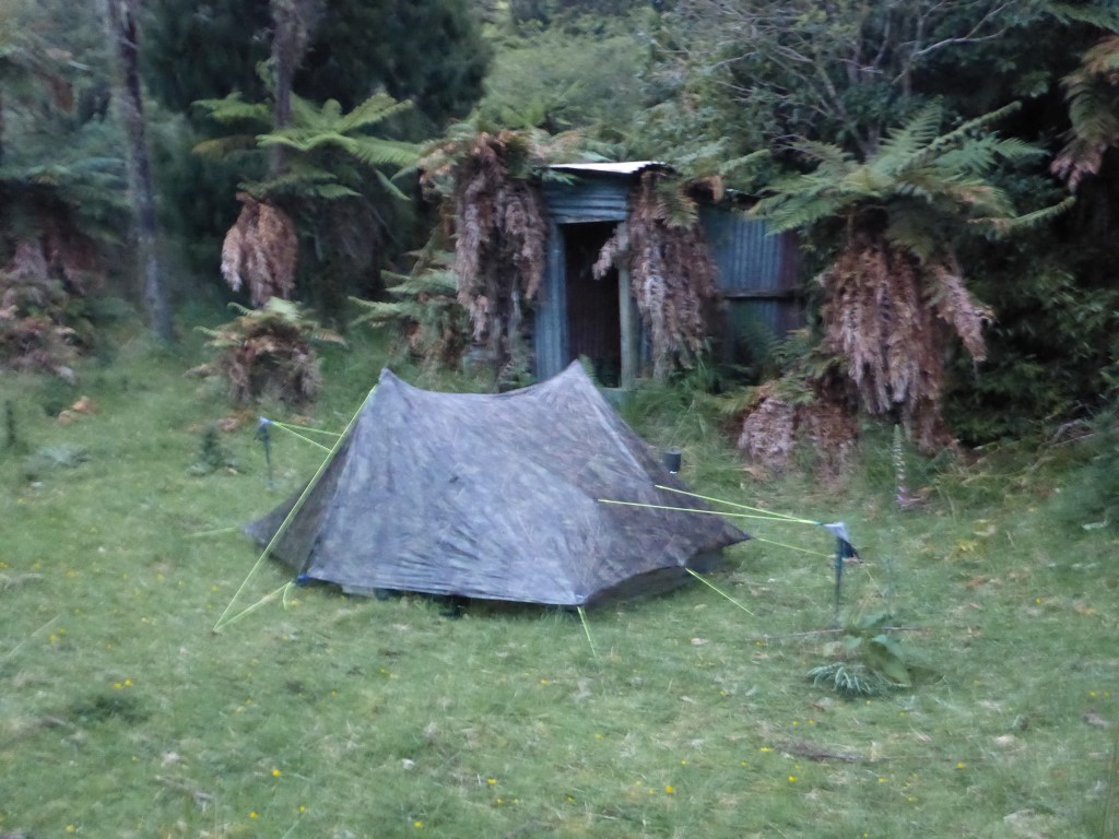
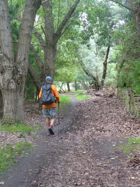
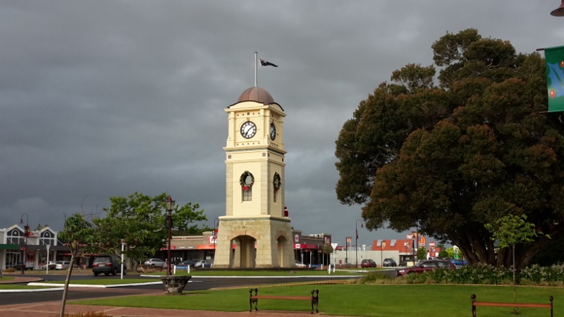
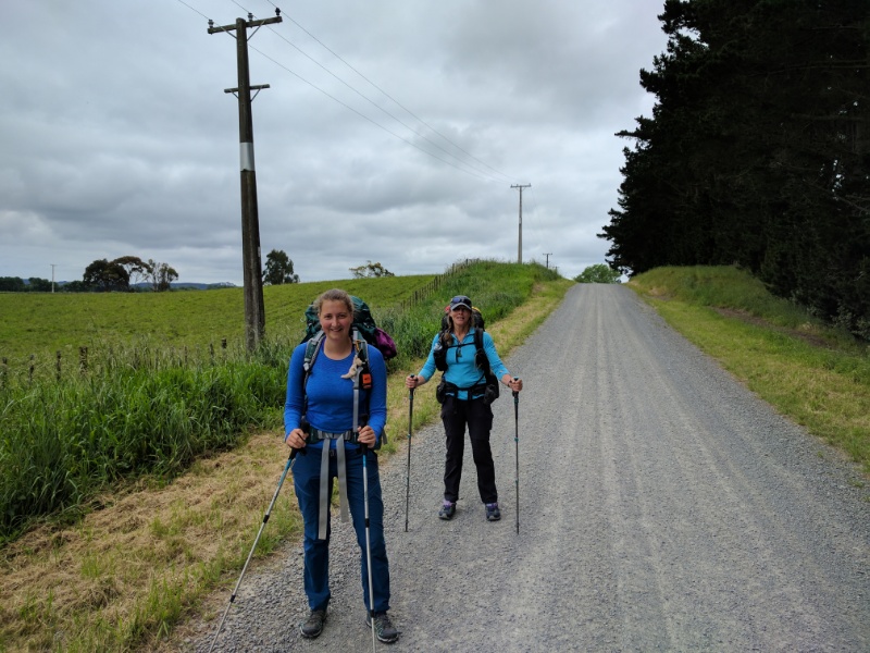
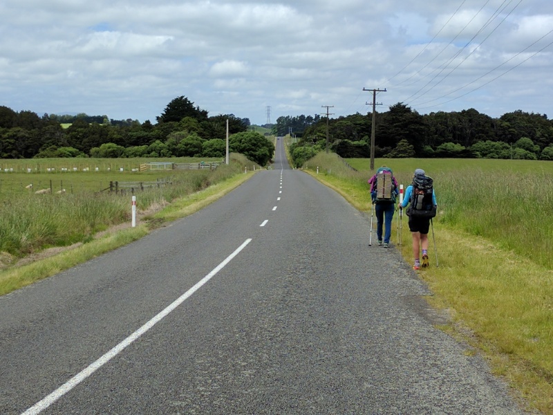
Grant drove us 35 minutes or so from Feilding to the place on Turitea Rd where we had stopped two days ago and we got underway walking about 0815. We had to cover around 56-57km in two days to get this section finished (to the Poads/Gladstone Rd intersection behind Levin). Our intention was to try and get over half of this done today. We ended up covering around 30km in 9.5hr (including breaks). The GPS track for the day is here. (Note that I am at home at the moment on a computer so I can provide a clickable link instead of having to put in the URL on the mobile app!!!). The weather was better than yesterday but still overcast and blowing a strong westerly wind (seemed to vary between SW and NW) - a good 50km/hr I would guess. We started off on gravel roads which wasn't too hard, but the wind certainly made it a bit of a battle at times! It wasn't long before we could see that Franziska was suffering from significant pain in her foot with 17kg or so of backpack on her back. After about 1hr15, on Greens Rd, we had a chat and collectively decided that she should/could not continue - the decision had to be made now as we were fast running out of places where we could easily get a car to pick her up. Luckily we had some patchy reception and I managed to get hold of my brother Grant, who had stayed in PN for an appointment and arranged for him to come out to the Kahuterawa / Greens Rd intersection and pick Franziska up - having done about 6.7km. It took us about another half hour to get there and Grant turned up about 10 minutes later - great timing. So we packed Franziska into the car and Grant took her back into PN to catch a 1:00 p.m. bus down to Paraparaumu - Belinda had arranged for her sister Julia to pick Franziska up and host her for the night while we carried on walking. A big thanks again to our family members for providing such great support for us when we needed it!! So, after a 20 minute stop, Belinda and I set off again on our own - it felt funny walking without Franziska who had been with us for almost 3 weeks!! It was about another 6km up to the end of Kahuterawa Rd where we reached the recreation area carpark and the Black Bridge. The Back Track was next, which is an old road - pretty much a quad/4wd type track - metal surface and reasonably OK to walk on - that goes through mainly regenerating native bush. Following this was another stretch of metal road before entering Gordon Kear Forest which had us following more gravel forestry tracks. This was all fairly undulating country with no steep ascents or descents. At about the 22km mark for the day, we reached the start of Burttons Track. This was the start of the more serious business for the day!! This was a tramping track standard and, as we had a reasonable amount of rain recently, it was a bit wet, muddy and, consequently, slippery! Much of this is through regenerating bush that was once farmed (Burttons Track is named after Jim Burtton who first carved a track into this area around 100 years ago!) and provides for interesting scenery to walk through. After about 4km or so we hit the Tokomaru River and started to follow this (more or less), including some crossings back and forth! We passed the site of the original Burttons Whare (cottage) and somehow completely missed the information sign that was supposed to be there!! Despite how easy it sounded in the trail notes, we had some trouble finding the river crossing point just here, but finally nutted it out and crossed over again. Around here the original part of Jim Burttons track started. We followed this for another 1.5km (about 35 minutes) through a mixture of bush and small areas of grass that had not yet covered in with bush. It was nearing 1800 by this stage and we were a bit weary (I think the wind played a big part in that, although we were lucky to get no rain today!!) so found a nice grassy spot to pitch our tent, after cutting out a few thistles! We were in the tent as soon as possible after dinner and by 2000 Belinda was already ready to sleep! Lying in bed last night Belinda raised the question of why we were planning to start the two day trip to Levin tomorrow! The weather for today was looking absolute rubbish whereas Mon and Tues were looking like improving somewhat! This still gives us Wed at home before starting the Tararuas on Thurs - there looks to be a three day stretch of reasonably good weather starting Thurs. This is important given how challenging the Tararuas can be.
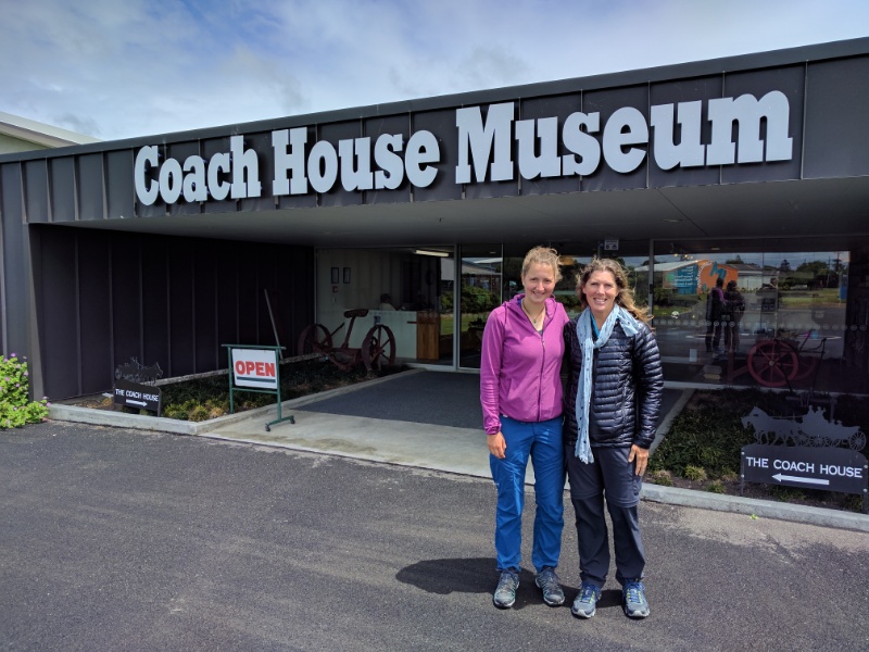
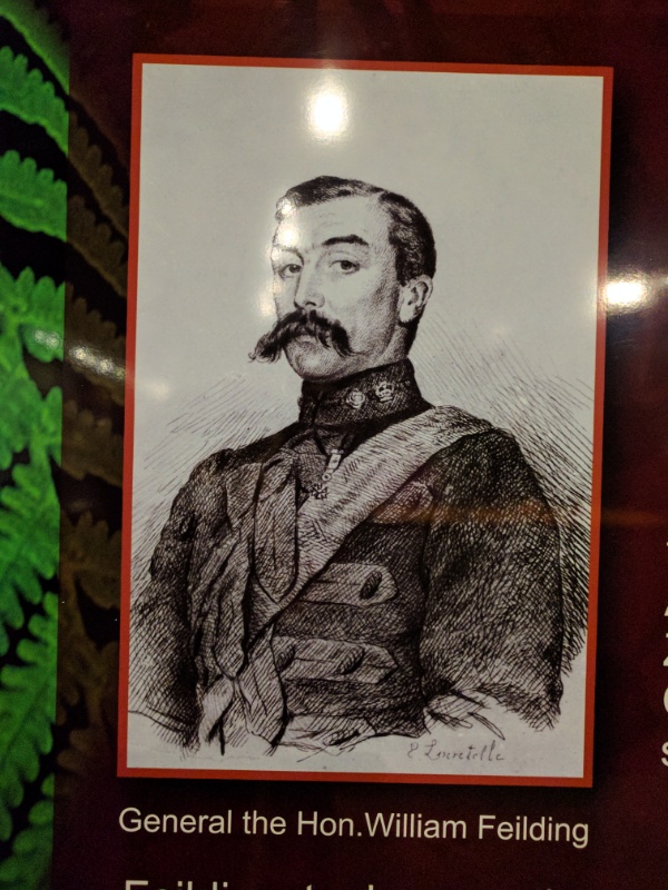
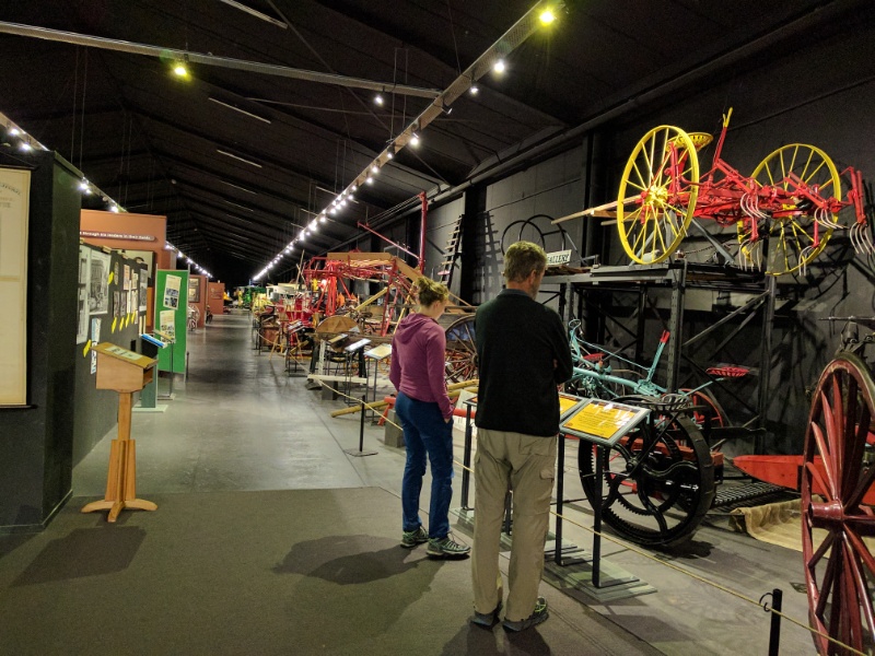
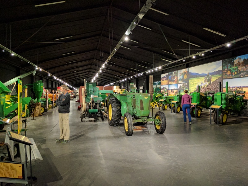
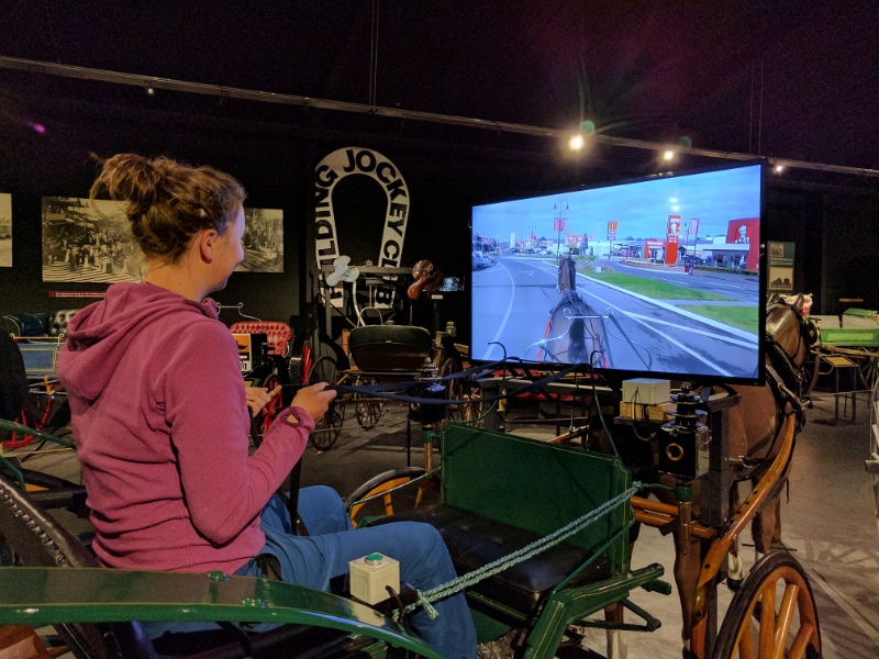
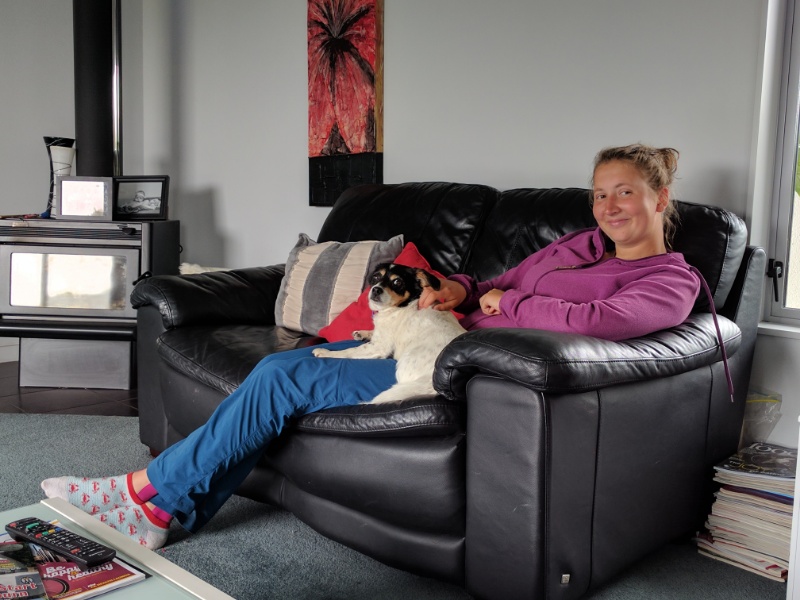
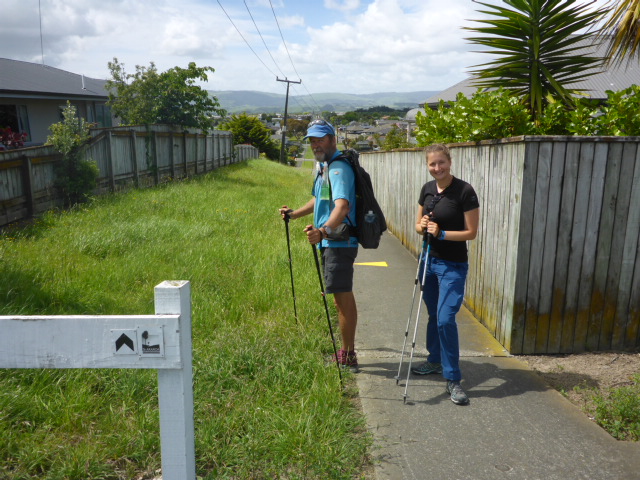
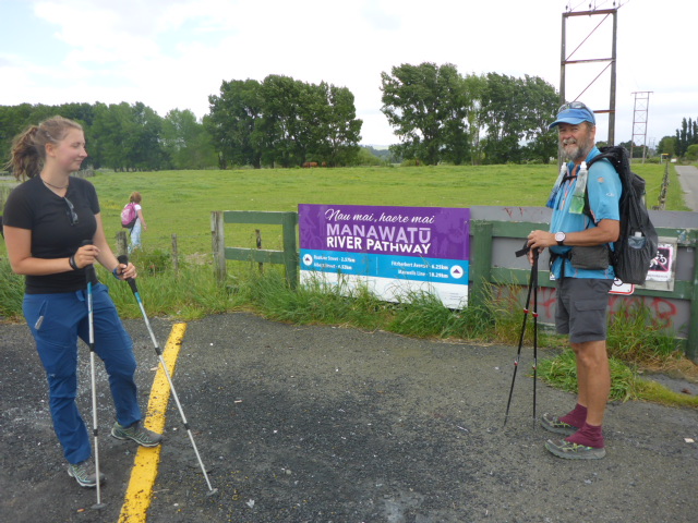
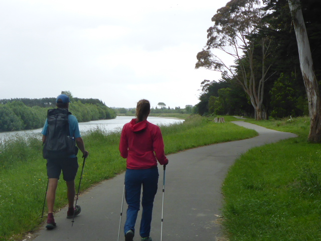
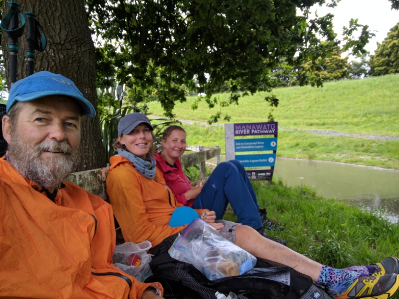
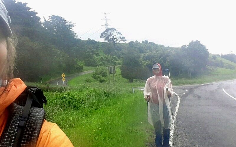
When we awoke this morning we did another weather check and decided a day's delay would work well. It will also help rest Franziska's foot (sounds like a good excuse anyway!). Franziska has offered to cook a German take on a pasta bake for dinner tonight so we needed to do a little shopping in town. We shot down about midday to have a look at the local Coach House Museum. This is a great facility that showcased the history of land settlement in the area - well worth a visit if you have time. We then went to Focalpoint cafe for some lunch before heading to the supermarket and back to Joan and Grant's for the rest of the day. The wind and rain just kept coming on and off all day - reinforcing what a good decision it was to take today off. Grant dropped us off at the Aorangi/South St intersection at 0800. Our plan was to try and get to Old West Rd - in fact we got a bit further up Turitea Rd, covering over 31km. Today's GPS track is here: https://www.movescount.com/moves/move132405270 The walk to Bunnythorpe was not too bad although there was a bit of traffic around on a Saturday morning. From Bunnythorpe the TA manages to stay off Railway Rd, which is nice. We were on the other side of the rail line on a small gravel road, followed by a grassy stretch which we assume was railways reserve land. This came out onto Roberts Line where we turned left and basically followed this for about 5km, across SH3, all the way to the banks of the Manawatu River. Here we joined the river walkway, which is a good sealed path (with lots of grass alongside for TAers to walk on!), for several kms to the Fitzherbert Bridge. By now the showers were coming and going which, with a brisk NW wind, made for not so pleasant walking. We found a big oak tree to shelter under for some lunch while a pesky shower passed! Then we were across the bridge and out to the Massey University campus. I had expected we would walk through the campus but, in fact, we walked a track to the NE of the campus. We did get views down onto the campus but skirted it completely. We did the see the plot of land I used for my research trials for my thesis though!! We arrived out on Old West Road. As we were charging along, we decided we could do some more of Turitea Rd in order to shorten the two days we would have to do next to get out at Levin. I rang Grant to give him a pick up spot and an ETA. As we set off, the rain got a bit heavier so we made a dash for some tree shelter where Belinda got her poncho out for Franziska to keep her a bit drier and warmer!
We made it about 4.5 km up the road, where we found a spot where Grant could pull off the road, and decided to stop. Our timing was impeccable as he pulled up about 5 mins later!! It's fantastic to be able to rely on family to run around after you - it makes hiking/tramping life a lot more luxurious at times! We went back via Ashurst and took a small detour to the carpark at the western end of the Manawatu Gorge so that Franziska could see how the river flows through between the Tararua and Ruahine Ranges from the east coast to the west! Then it was back to Feilding for a hot shower, after which we all headed out to town for dinner. A leisurely start to the day included bacon and eggs for breakfast for some of us! We needed a few things that required a trip to Palmerston North so we borrowed a vehicle and headed off mid-morning. A couple of purchases at Bivouac Outdoor was followed by a food resupply at Countdown. By then we had already had enough of there city and shopping, so headed back to Feilding!
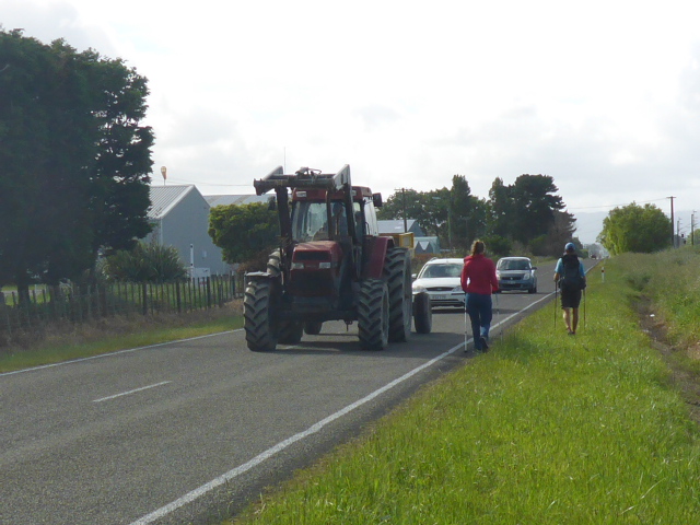
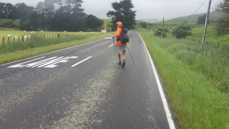
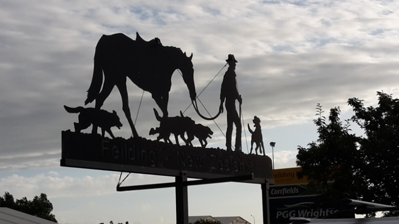
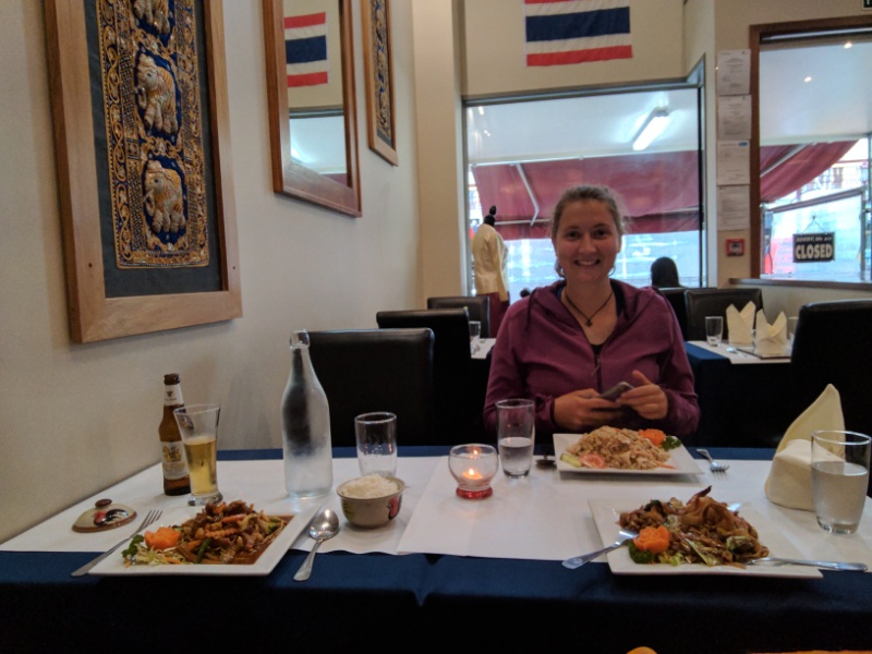
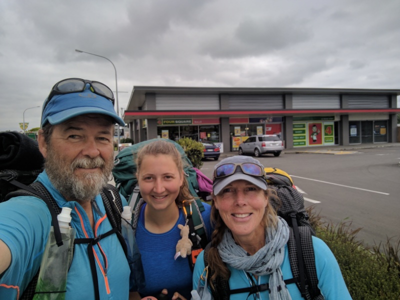
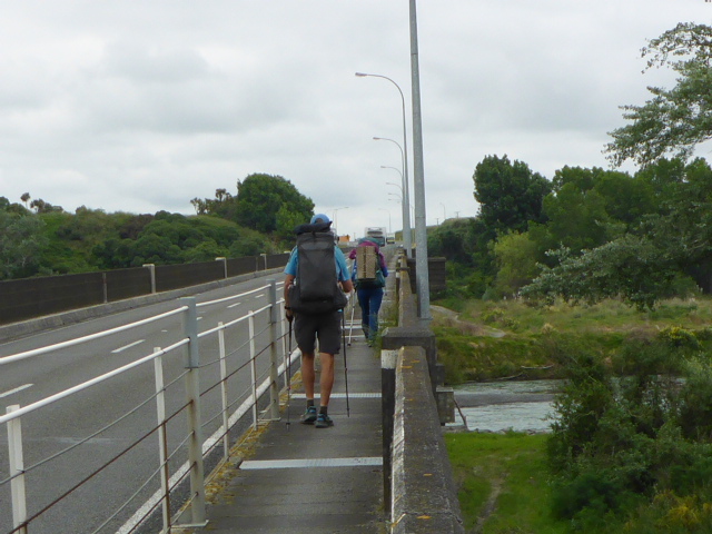
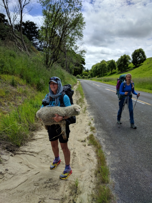
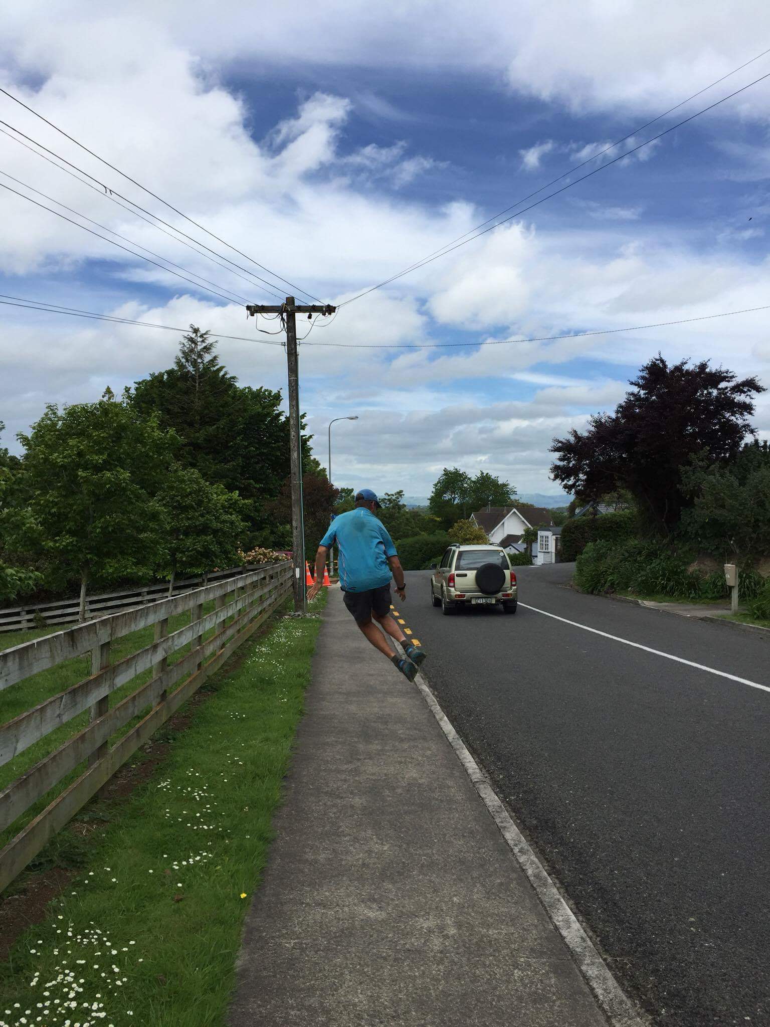
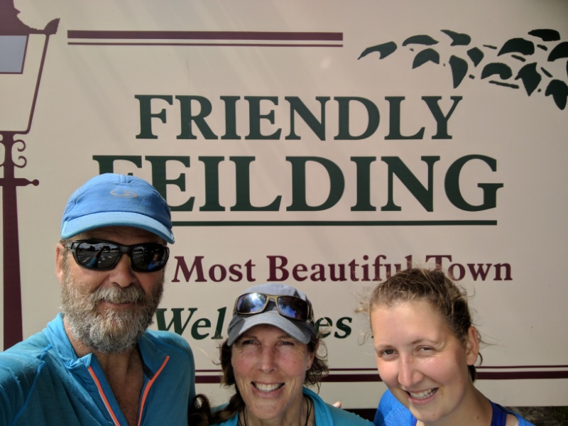
After a rest we headed down to town to watch a movie - we decided to watch J K Rowlings' Fantastic Beasts and Where to Find Them. An entertaining movie which we all enjoyed! That finished about 5.30p.m. So we shot across the road to a Thai restaurant where we all managed to consume a delicious main course, followed by dessert! I managed a few blogs, which was great - all in all, it was a good recovery day. We got away on time for the bus trip to Bulls and arrived there about 0850. It was only just over 21km of road walking to Feilding today - GPS track is here: https://www.movescount.com/moves/move132373186 We stocked up at the 4-Square supermarket with some lovely lunch stuff! Franziska found some rolls that were close to German-style bread and the nice lady in the bakery section offered to fill them with meat and salad for her! It's a short "story" today as it was simply country road walking through typical rolling farmland, pretty much all the way to Feilding - not all that exciting really! Closer to Feilding we spotted a lamb just lying in the grass beside the highway - it was pretty dopey and the flies were starting to hang around. Belinda decided a rescue mission was in order, so she carried it up the road for a short way to where she could get it back over the fence. It appeared dehydrated so she got some water into it and it appeared to perk up and start eating so hopefully it will recover OK! We had about 2.5km to go to where we were planning to stop when Grant and Joan appeared in the car! They had been in Feilding for a long lunch and decided to see if we were nearby. So we dumped our packs in the car and "danced" our way into town for the last bit - amazing how much easier it is without the weight on your back! Grant came back to pick us up half an hour later after we had stopped at a service station to get a sorbet and a cold drink each! Then it was back to our Feilding "home" for a shower and lovely meal - and a bit of washing :-). Our plan is to have a rest day tomorrow, so looking forward to that!
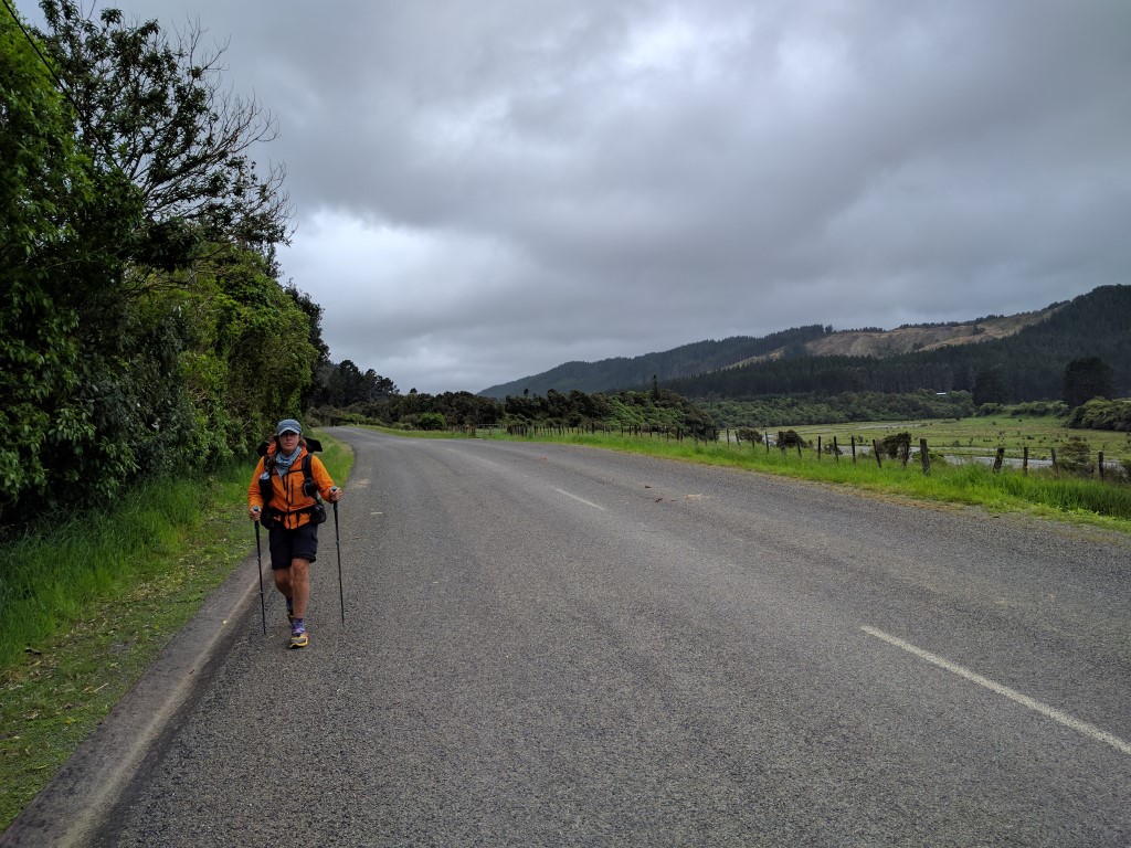
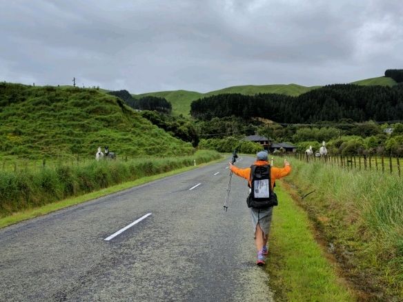
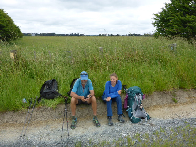
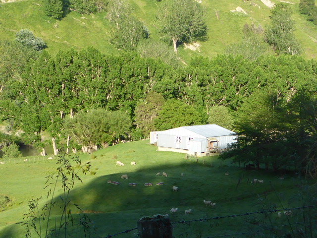
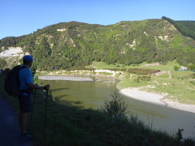
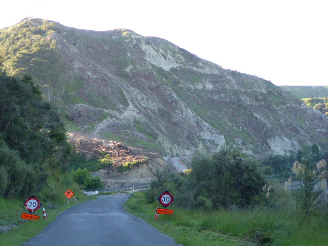
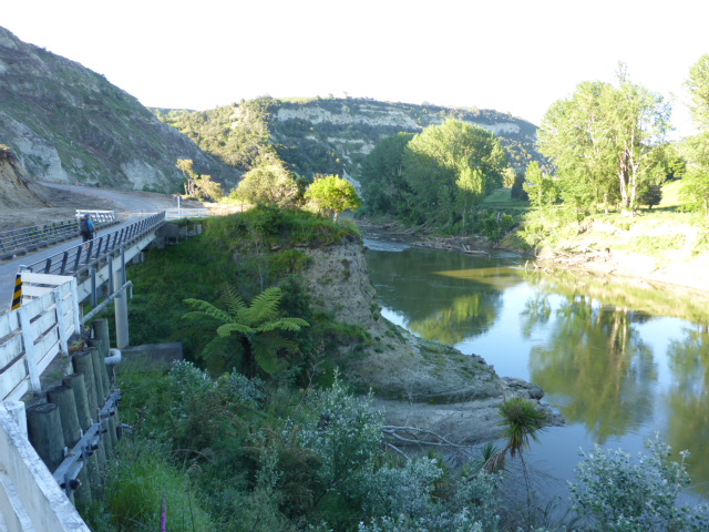
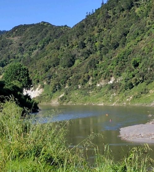
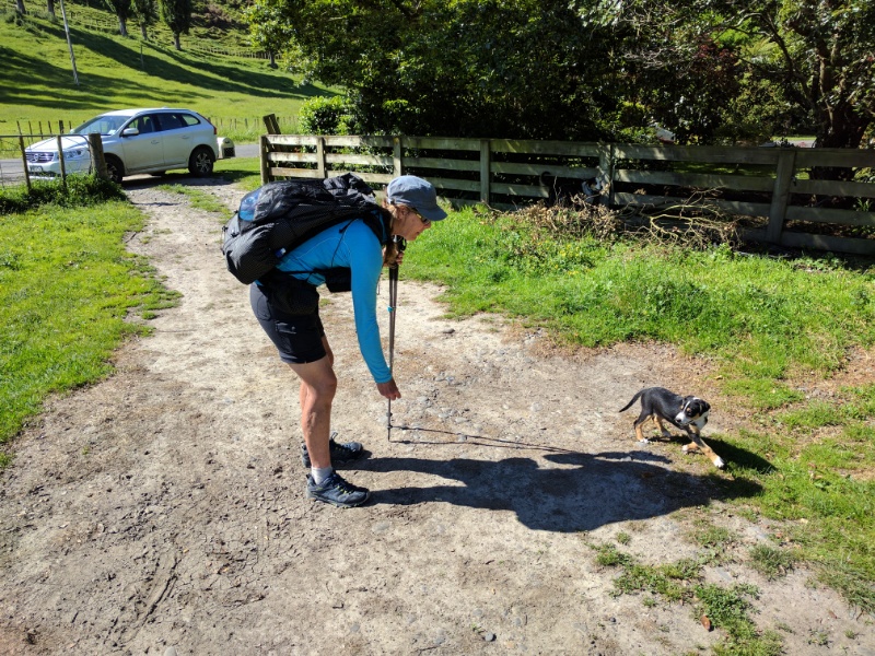
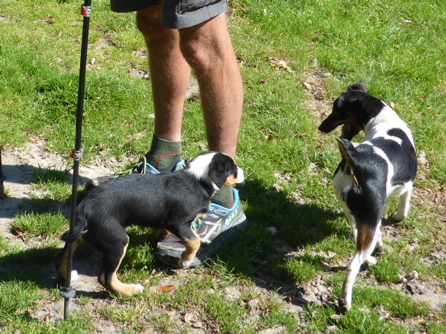
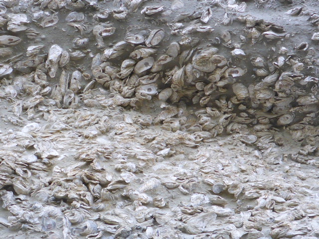
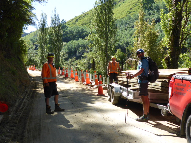
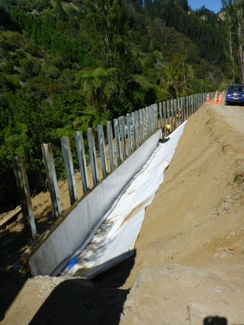
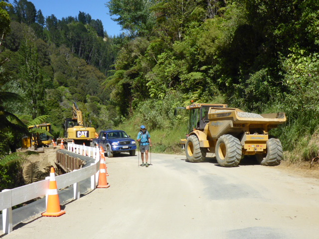
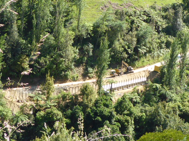
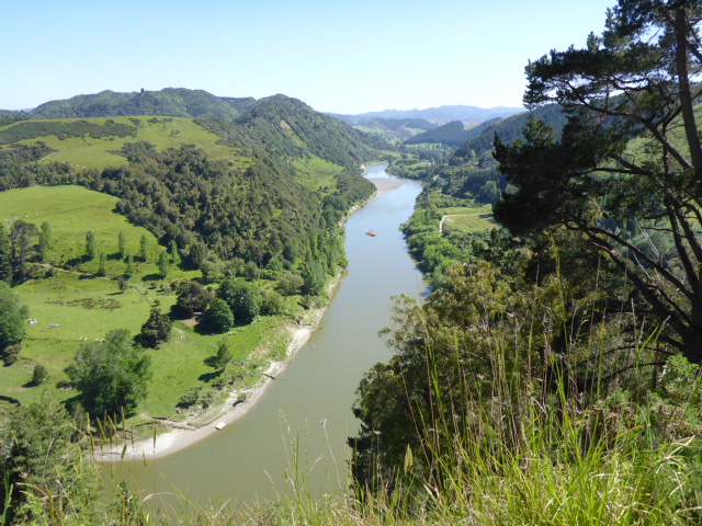
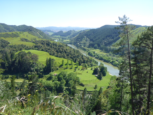
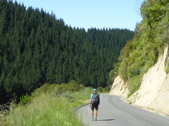
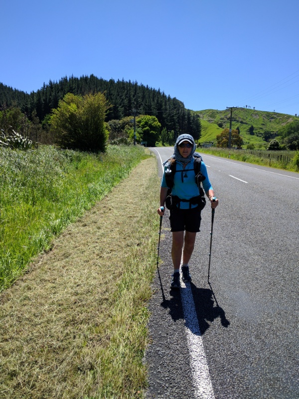
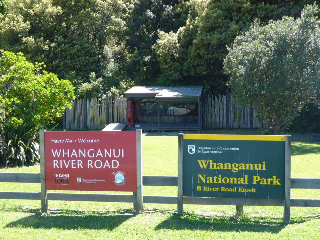
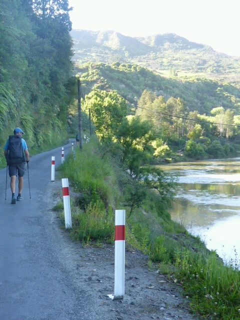
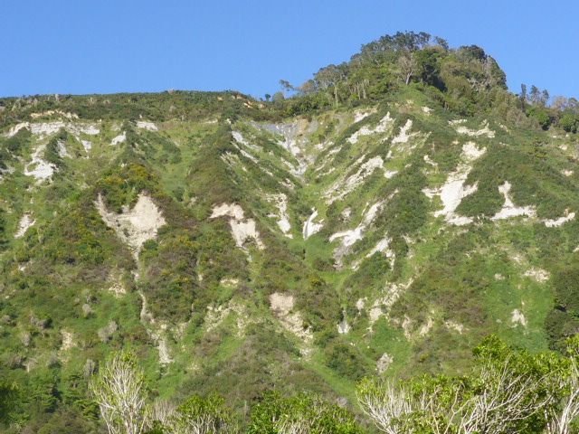
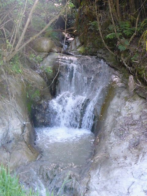
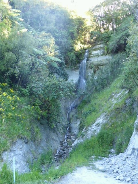
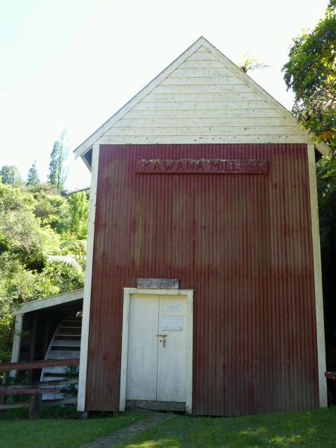
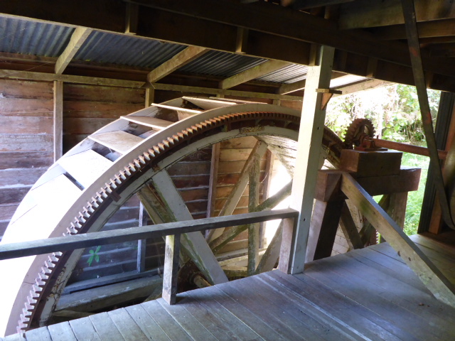
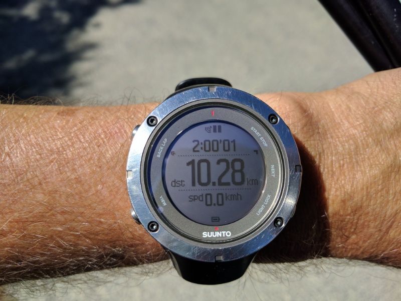
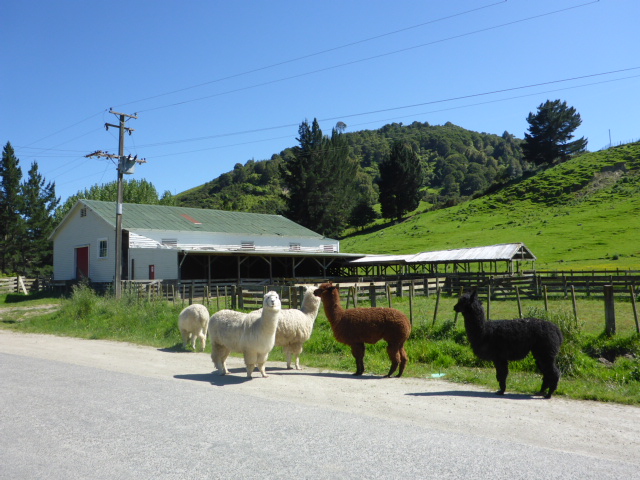
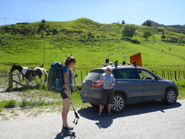
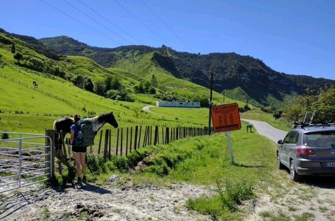
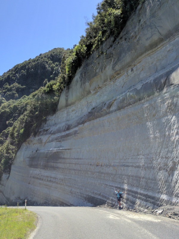
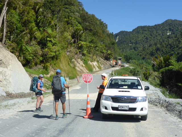
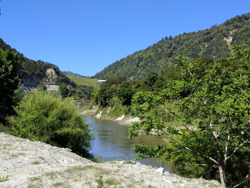
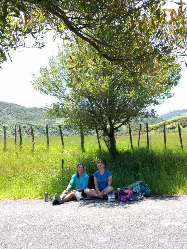
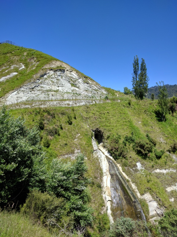
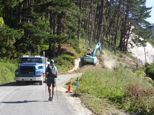
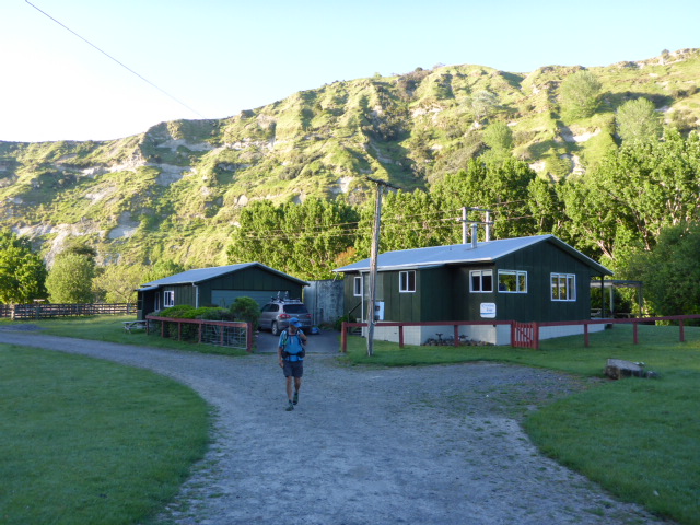
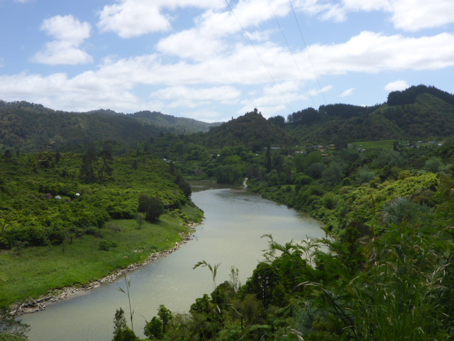
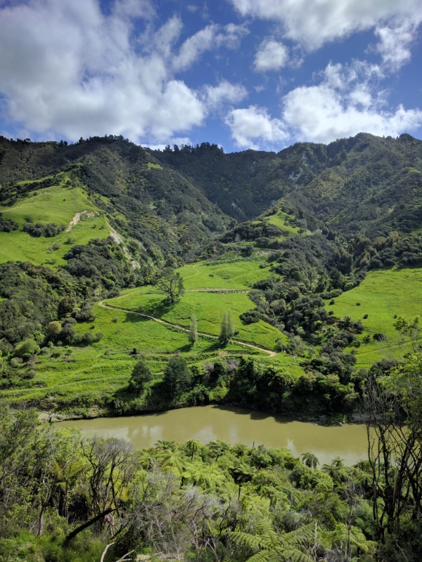
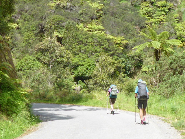
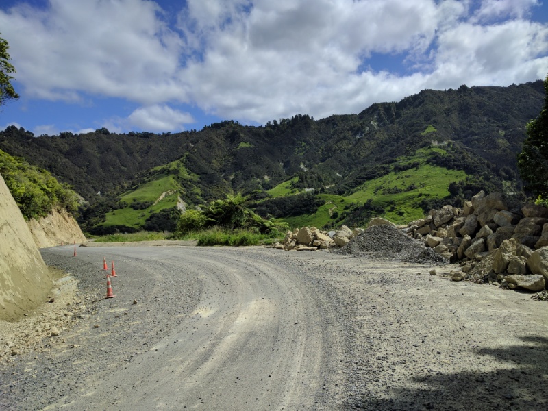
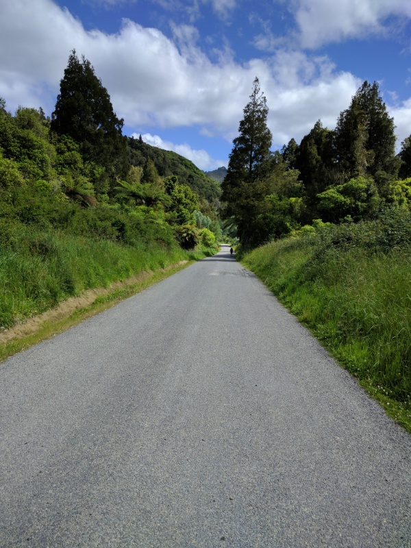
Belinda and I were up early to get an 0700 start. Franziska had decided to get a ride the whole way with Gill - probably a very wise decision. We eventually did 28.5km today to the Wanganui YHA - where we were staying when the 7.8 earthquake struck recently! We seemed to stop for a number of chats along the way today so it took a lightly longer than otherwise expected - but that's part of what our TA journey is about! GPS track for the day is here: https://www.movescount.com/moves/move132105120 We followed the river road for the first 16km or so. After 1.5hrs we stopped and rested against a farm gate - we were only there for 5 mins when the farmer came along wanting to drive in the gate! So we chatted with Cody for 20 mins or so - his great grandfather bought the original block so it's a real family farm. He indicated his grandfather still lived just down the road as well. We started off again, soon spotting Kevin and Greg paddling ahead of us down the river! About 15 minutes later we came across an older chap letting his dogs out of the kennels - of course it was Cody's grandfather, who was a dog trialist still! We stopped and talked with him (and his dogs, including a couple of pups) for about 20 minutes before heading off yet again! We were still down near river level but soon started our climb away from the river, up to a saddle about 150m higher - so not a huge climb. This is the section where the river road is closed for much of the day to repair some major slips underneath the road. We walked past the road closed signs up to the worksite. The guys were great (Loaders contractors from Wanganui) and were happy for us to go on through. However, we also had to chat with them for about 15 minutes or so - they were interested in what we were doing and we were interested in how they were fixing the slips! At the top of the saddle we got a great view back up the Wanganui River valley, but then it was down the other side heading towards SH4. We then had another 12 km or so alongside SH4 to Wanganui. This wasn't the most exciting walk but in the first half hour or so we talked to: a Spanish TAer who was cycling this leg; then the lady who owned Riverside Lodge where we stayed last night stopped for a chat as she was driving past; and, finally, we ran into a guy from Wellington who is section hiking TA northbound! We saw a cafe in Upukongaro and decided to stop for a lunch break. Unfortunately we discovered we had arrived just behind a group of oldies who had come upriver by boat. It would have taken ages to get served so we made the hard decision to move on!! From there we followed the river back into Wanganui to the YHA. Franziska had already texted us to say that they had space for us. Of course, we bumped into Kevin and Gill again! - we had seen Kevin and Greg get off the river at the Top Ten Holiday Park! Greg walked from there and joined us at the YHA - we decided to order pizza for dinner as we hadn't had one of those for a while. Franziska booked our bus trip to Bulls departing 0815 tomorrow morning so we will be away by 0745 (by taxi, of course!). We set off this morning about 0810 having removed a fair amount of gear from our packs for Gill to take to our next stop in the car! The distance today was 35.5km of asphalt road walking in sunny, hot conditions which ended up taking over 9 hrs including a number of stops for rest in the shade! GPS data is here: https://www.movescount.com/moves/move132105125 All of today's walk was along the Wanganui River Rd, which follows the river, more or less, for the whole day. There were not too many hills so we managed just over 10km in the first 2hr of walking. 5 minutes before the two hour mark we came across a historic site - the Kawana flour mill and cottage - so took a 30m detour for a look around, taking a break for about 30 minutes or so. We were there for about 15 minutes when Gill turned up! She had been expecting to see us by then and also saw the sign for the mill and decided to stop for a look! The scenery along the road, like the canoe trip, is beautiful. It is mainly as a result of the geology of the area (i.e. the papa) which creates stunning steep cliffs and narrow, deep gorges through which all the waterways run. The road itself is often cut into the side of step papa hills and with all the rain (including the June 2015 floods) it has caused lots of areas of subsidence and rockfalls. This meant we were passing roadworks and narrow sections of road often! Not long after the mill stop we came through Matahiwi where we stopped to converse with several alpaca that were just standing around grazing on the side of the road! Gill was here also - at this stage Franziska decided to stop using walking poles, so put them in Gill's car. The next 2 hrs saw us cover almost another 10km, stopping for lunch near Koriniti Pa in the shade of a tree! The day was hot and cloudless which meant we were getting through a fair bit of water as well. We walked on, but found we were slowing a little as the heat forced us to take more breaks in the shade - as the sun rose there was virtually no shade on the road and, being asphalt, the conditions were quite testing! The landscape was slowly becoming slightly less steep as we moved down river, with more farming land in evidence now. Stock were generally looking pretty good along the way. About 26km along we came across a little campsite set up alongside the road. Included was a tap attached to an artesian water supply! As we were getting very hot and a little short of water, this was a godsend! We stopped in the shade for 20 minutes or so and drank lots of cold clear water. Franziska was feeling the heat and also her injured foot, and soon after made the decision to try and hitch the last few kms to our stop for the night. About 2 minutes after that who should turn up on the side of the road but Gill! She must have read our minds - she had decided to drive back and see if we needed cold water for our last few kms! So Franziska hopped in the car for the last 7km while Belinda and I headed back onto the hot road. It was about 1600 by now but the sun was still pretty hot. The last 7km or so did seem to drag a little but eventually we arrived at Rivertime Cottage about 1730 - about 4km south of Atene Pa.
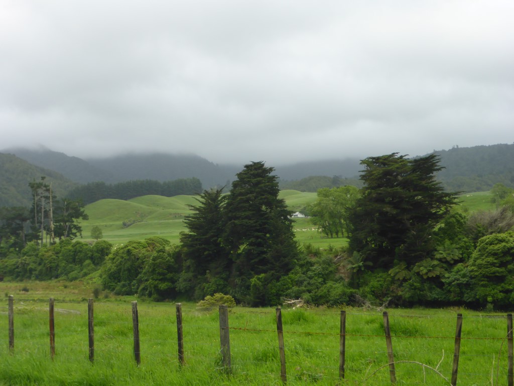
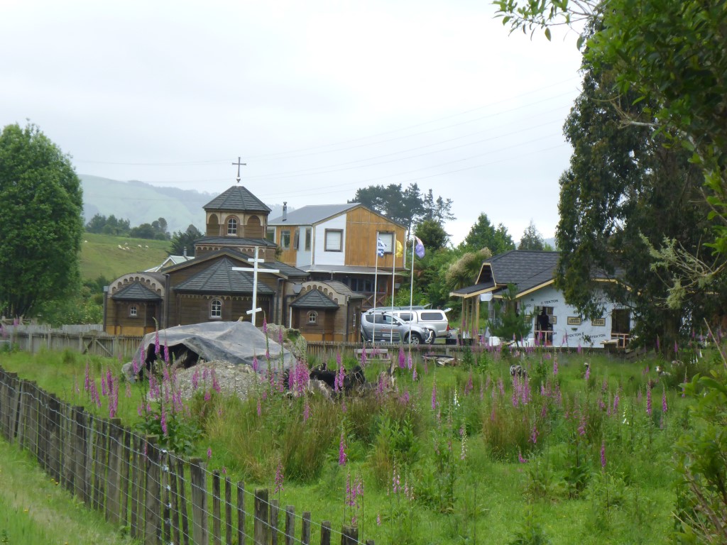
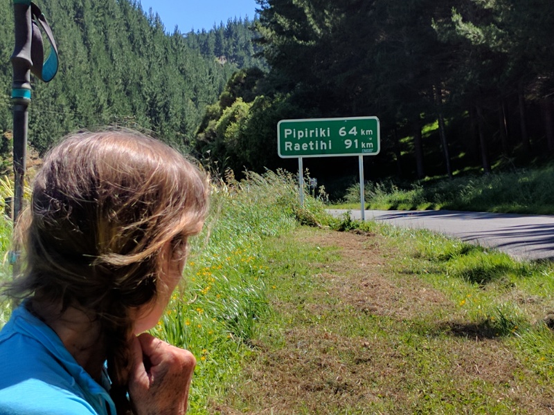
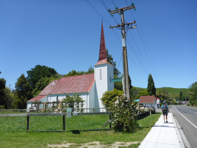
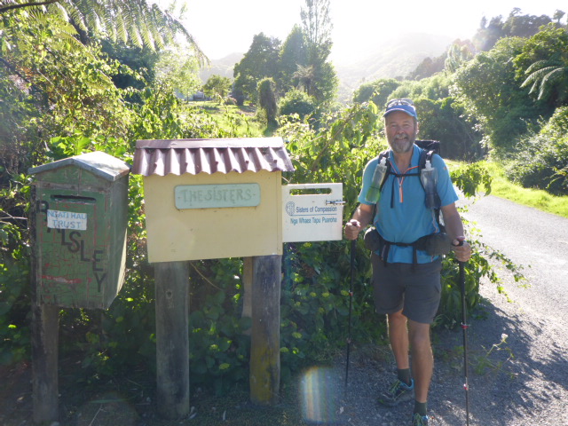
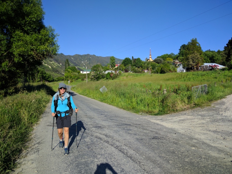
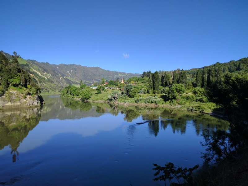
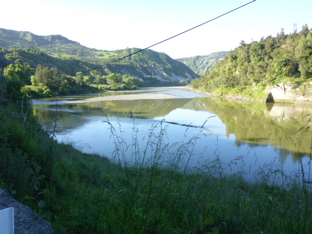
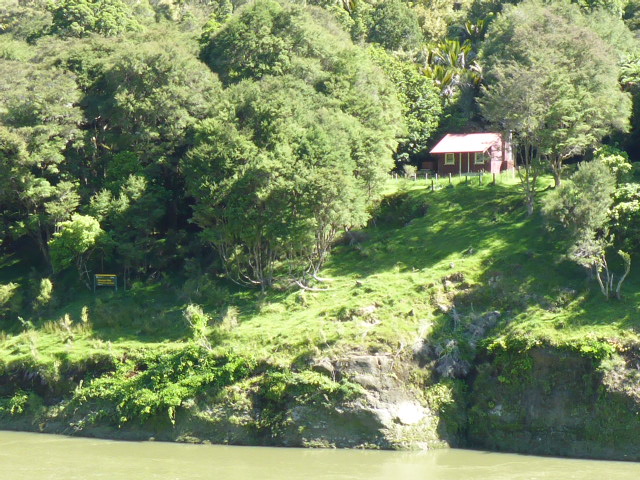
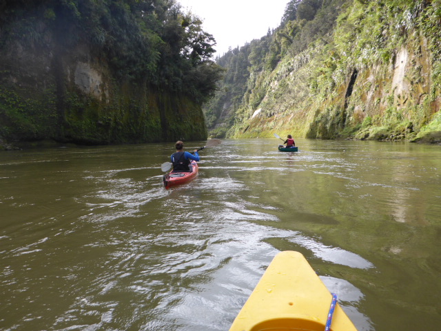
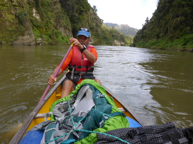
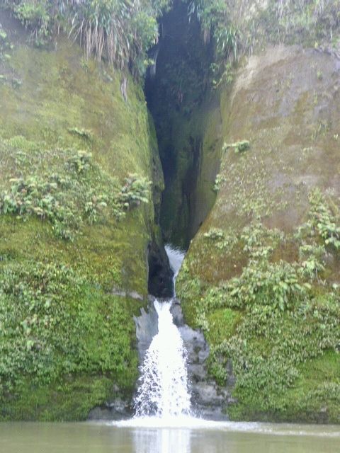
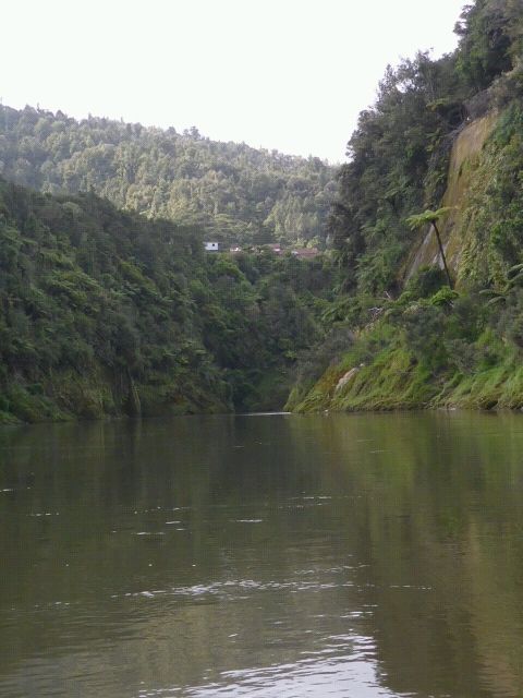
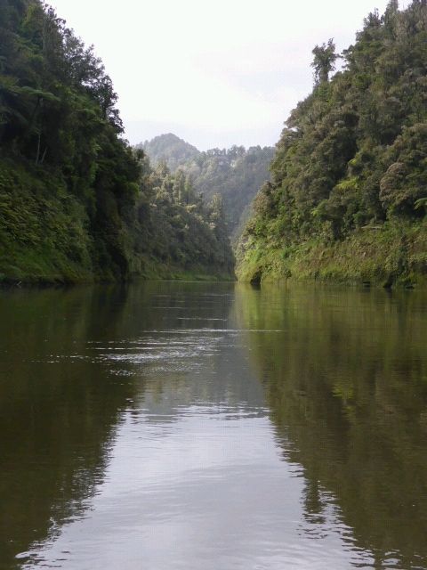
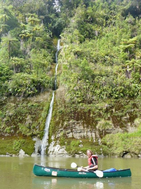
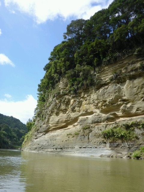
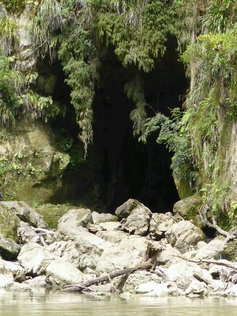
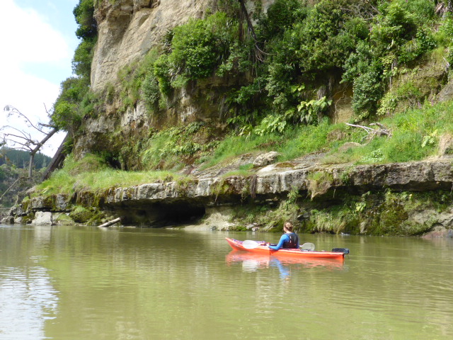
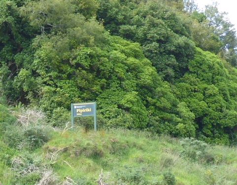
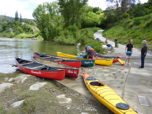
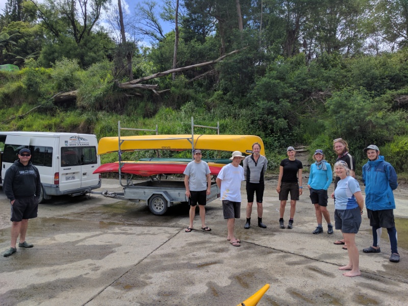
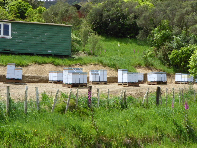
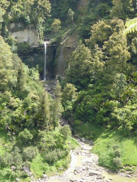
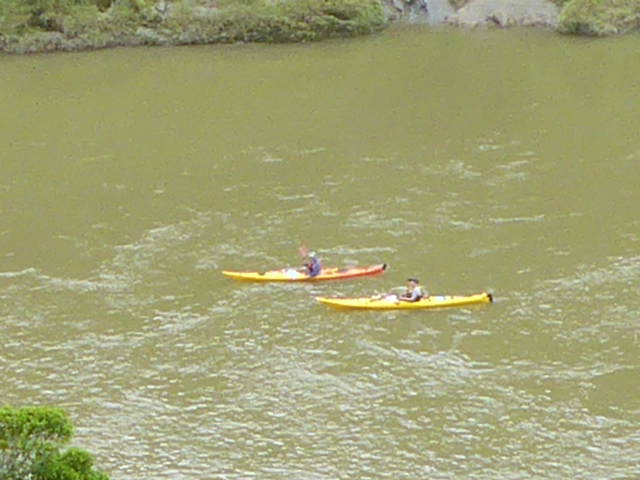
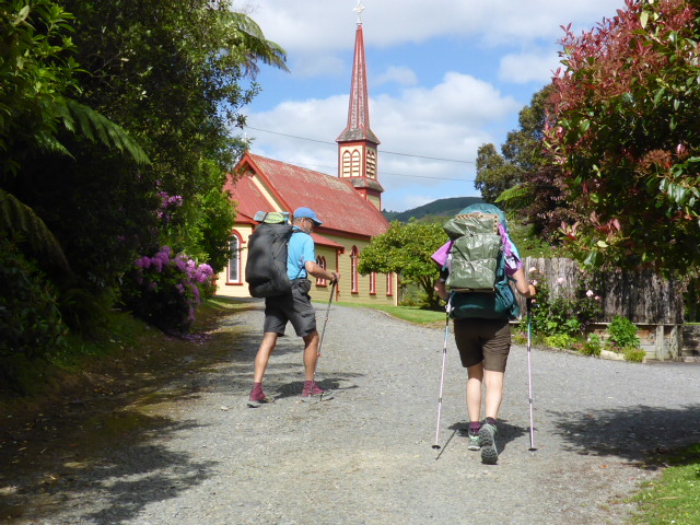
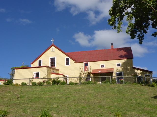
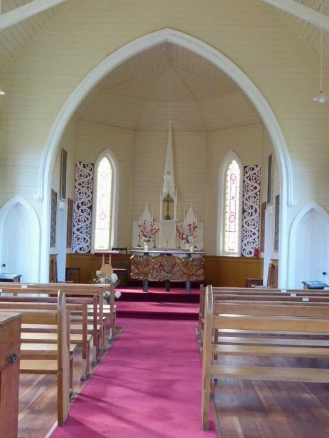
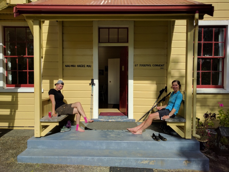
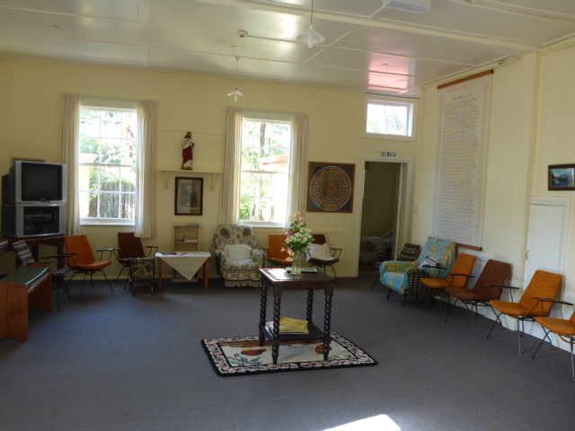
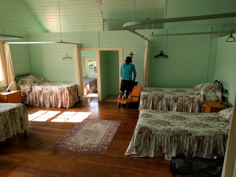
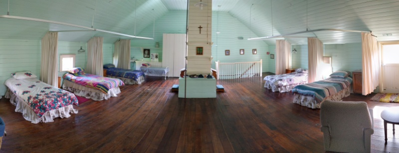
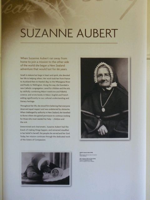
There was a little 2 person cabin which Belinda and I decided to take to save putting up the tent, while Franziska took a spare bed in the cottage that Gill, Kevin and Greg were staying in. The long hot day was over - the good news was that left us less than 30km tomorrow to get to our destination in Wanganui! Seems funny to be talking about this being an easier day - although again having some of our gear delivered to Wanganui in the car will help! Franziska's foot is causing issues on the hard roads, so she will make a decision in the morning as to whether she walks a little way with us in the morning and gets Gill to pick her up on the way past - or whether she just gets a ride all the way to Wanganui with Gill. Pt4 Day 15. Tieke-Kainga to Pipiriki (on river) & Pipiriki to Jerusalem (on road) - 21/11/1625/11/2016 Today's plan was to canoe to Pipiriki and then walk 12km to Jerusalem. As our canoes were being picked up at 1230, and it was only 21km on the river, we were in no rush to depart - getting underway about 0850. I recorded two separate GPS tracks for today, one for the river section and another for the road walk to Jerusalem. They can be found at: https://www.movescount.com/moves/move131947501 (river) https://www.movescount.com/moves/move131950449 (road) The weather was a bit more sunny today and the river had dropped further from yesterday, although it was still above normal. This meant reasonable travel speed and some smoother water in some places, although the headwind did slow progress at times. There were some nice reflections of scenery on the river to be seen today - hopefully one or two of the photos can show it. We had a couple of slightly bigger rapids to negotiate today - one at Ngaporo and another right near the end at Pipiriki, although neither threatened to cause us harm in the end!! So all in all it was a good 3 hours or so on the river before pulling in at Pipiriki. We reorganised all our packs, had lunch - including a beer for me and Chevy since we couldn't have alcohol at Tieke Kainga - and psyched ourselves up for another road walk! With the canoes picked up, we shouldered our heavy-feeling packs and tried to remember how to use our legs for walking! The scenery is still very impressive here with the dramatic papa cliffs on both sides of the river, although green farmland is starting to make an appearance as we get further down the river. Even in the first 12 km to Jerusalem we could see the massive damage the June 2015 floods did - there were lots of bits of roadworks going on to fix major and more minor slips on the road. It must be an incredibly expensive business! The road was a generally steady climb for the first 8-9 km, but only from around 50m to 170m so not to bad. Then the final run into Jerusalem was pretty much downhill. We arrived and headed up the hill to the nunnery and found a sister in the house who showed us the accommodation in the old convent house. The place is incredibly cute and peaceful. We went to look in the church but found lots of bees in the foyer! Upon opening the doors into the main church, it was evident there were even more bees everywhere inside! Both Franziska and I are allergic to bee stings so that visit was off the agenda unfortunately! A lady near the driveway to the nunnery has set up a little shop in her house - very entrepreneurial - so Franziska and I walked down to get an ice cream and cold drink, and an ice block for Belinda! Good to see how the TA can bring a bit of money into these small communities. Kevin, Gill and Greg arrived and Gill had brought a "snack feast" with her, so after a shower we all settled around the kitchen table for cheese, hummus, crackers, dip, strawberries and chippies before dinner!! Chatting around the table, we discovered that they were planning to stay tomorrow at the same place we had been thinking of trying to reach, about 34km away. Gill kindly offered to take some of our gear in the car tomorrow to lighten our loads a bit for the road walk. We quickly accepted the very kind offer as it would ease or long day - thanks Gill!! |
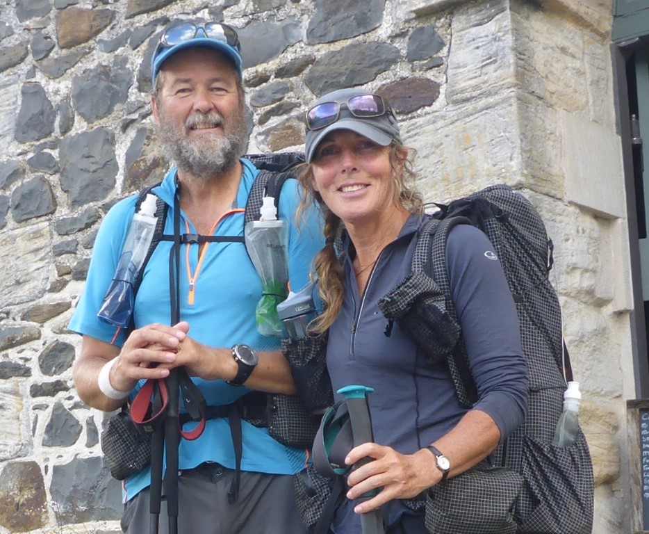
AuthorBelinda and Anthony (aka Tony) Hadfield made a decision, in their late 50's, to do something a "bit different" and walk New Zealand's 3000km Te Araroa Trail over summer 2015/16 - although updates will now tell you that this plan will take longer now!!. As the old saying goes - "don't leave home 'til you've seen the country"!! Archives
January 2018
Categories |





 RSS Feed