|
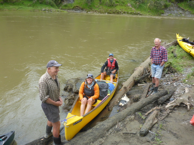
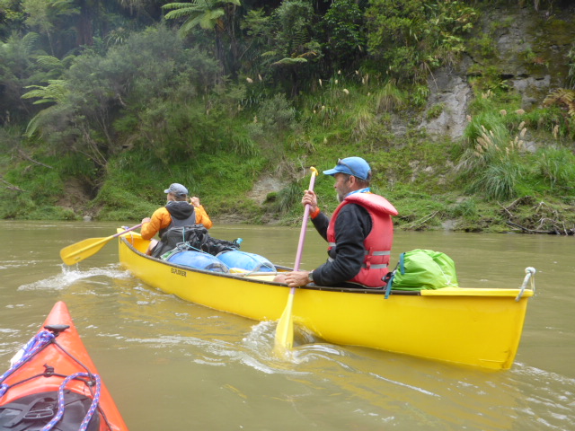
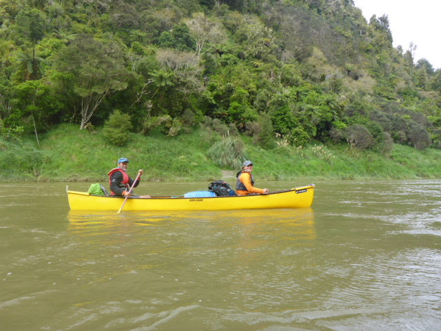
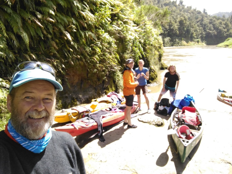
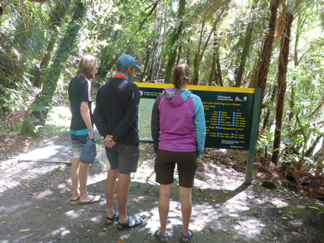
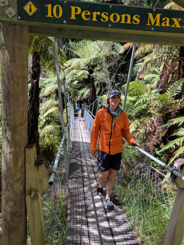
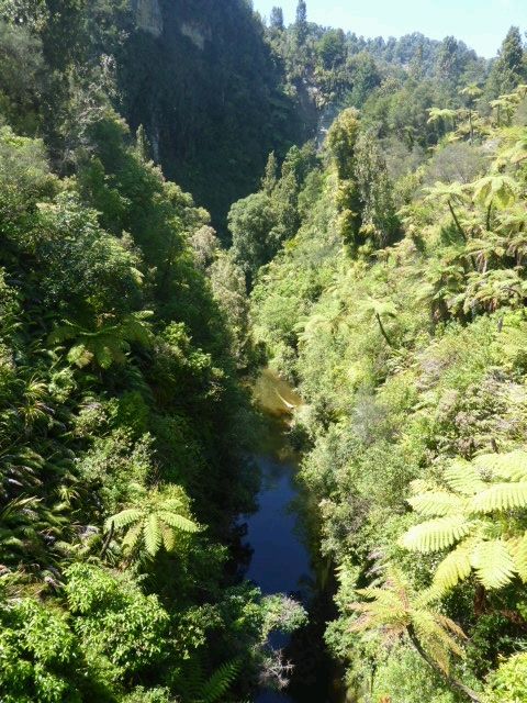
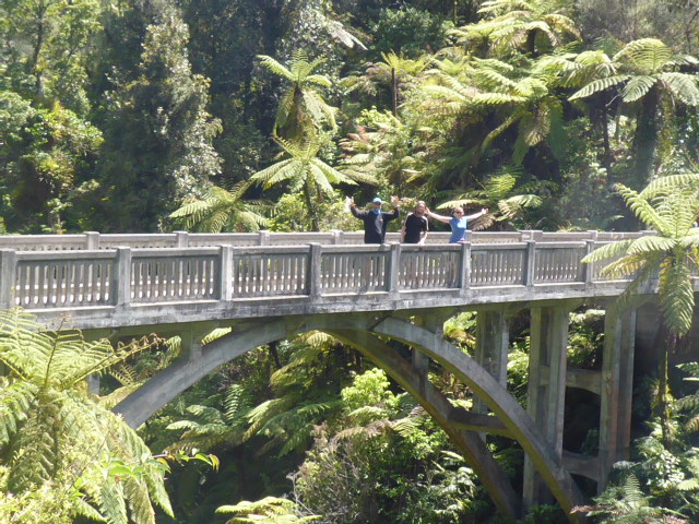
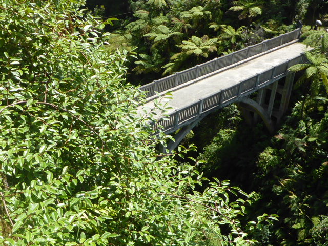
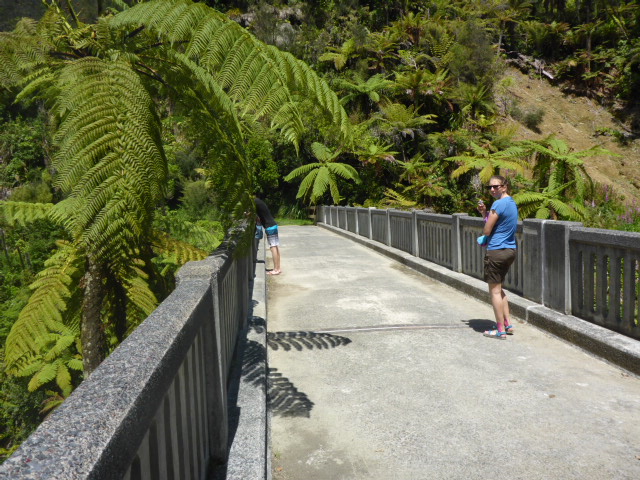
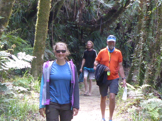
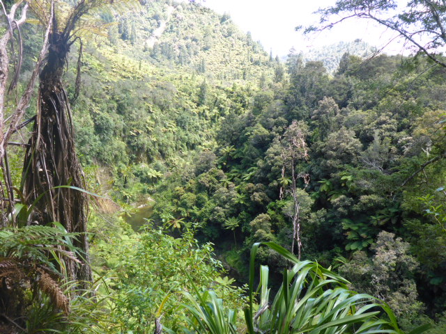
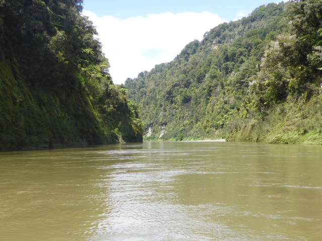
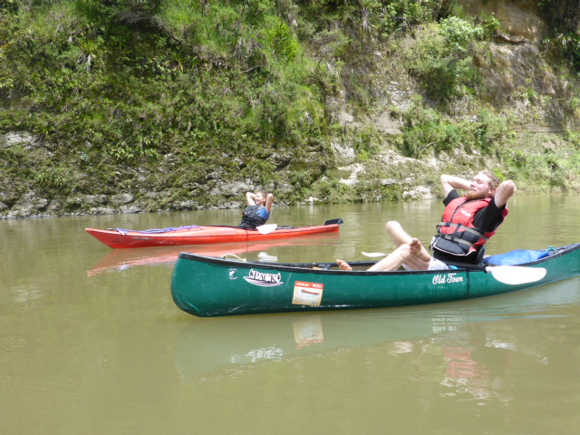
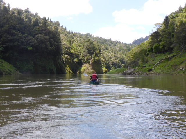
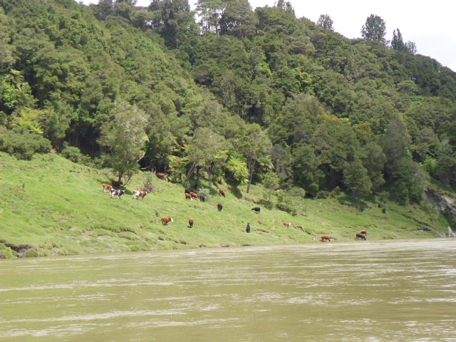
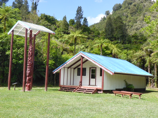
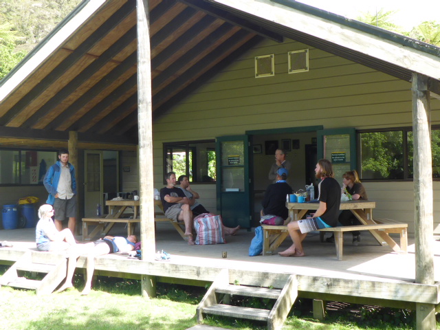
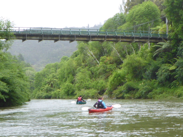
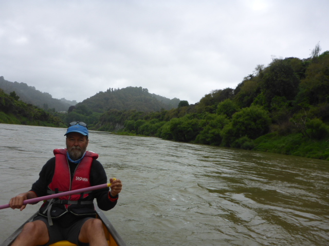
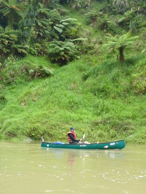
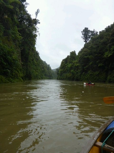
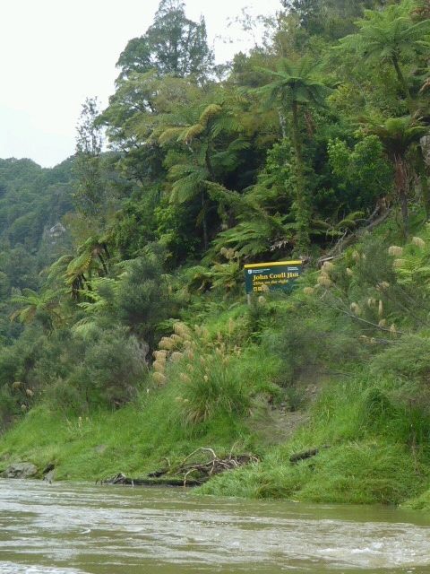
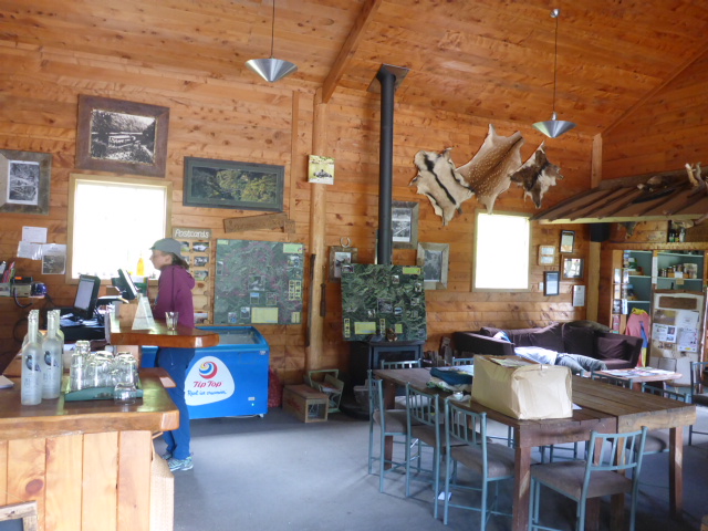
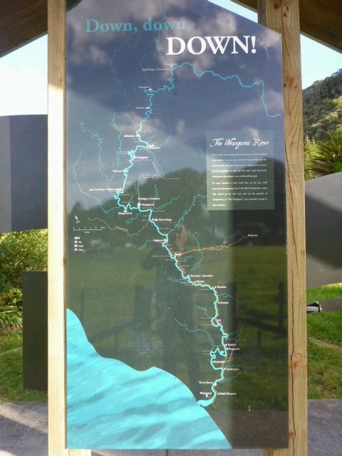
Had a leisurely start to the day today getting underway from John Coull Hut about 0830. Given the state of the river we knew that the 29 km or so would not take 6hr - rather we expected maybe 4hr max, including a side trip to the Bridge to Nowhere from Mangapurua Landing. For some reason today the Suunto decided to stop recording part way down. When I noticed this I restarted, so there are two tracks for today, with a bit of a gap! https://www.movescount.com/moves/move131950455 https://www.movescount.com/moves/move131950391 The river had dropped a bit overnight so with a bit of help from our hut wardens (Ian and Peter) we were soon on the water. The river was much the same as yesterday both in terms of the majestic scenery and the state of the water (rapids etc). We did hit one standing wave that just seemed to get bigger as we approached it - we hit it with a thump which got us a bit wet but the old tub ploughed on through it fine!! We were a bit apprehensive about getting into Mangapurua Landing because it is a challenging place to stop. But Ian and Peter had given us some tips, including actually reversing down the river at 45 degrees so that you can paddle into the landing as you float past (apparently called a "ferry glide"). This worked a treat, especially with someone on the riverside to grab the painter rope. We took the 40 minute walk up to the Bridge to Nowhere in lovely sunshine. Despite having seen lots of photos, it is still a very impressive structure, as much for the folly and the sheer effort of getting all the steel and concrete there as anything else!! Then it was back on the river for the next couple of hours to Tieke Kainga for the night. The biggest issue was the wind which was blowing up the river - this slowed us considerably on some stretches, but still 6kph+! We pulled into Tieke Kainga with a bit of assistance from Murray and Ralph, a couple of guys from Auckland who we had met at JC Hut yesterday. They kayak the river a couple of times a year and have been doing so for many years, so know it very well! The lovely hut warden, Marianne, provided us with a cuppa when we arrived - she had hosted no people for four days as the river was too high for paddling, so she was pleased to have some company for the second last day of her stint! We had an "informal formal" welcome to the marae (this is a DoC/iwi co-managed site) as part of the evening as well. It is a very pleasant spot to stop, with good company to pass the evening. Murray and Ralph were there, as well as Kevin, Gill and Greg. Turns out the latter group are also planning a stop at Jerusalem tomorrow night (Greg and Kevin are paddling to Wanganui) and Gill is leaving the river to pick up the car, so she kindly offered to get extra luxury food items (chippies and bananas) and bring them along for tomorrow night!
0 Comments
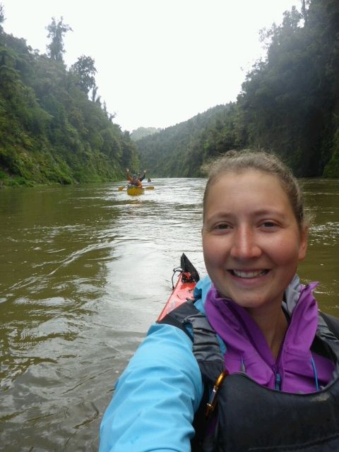
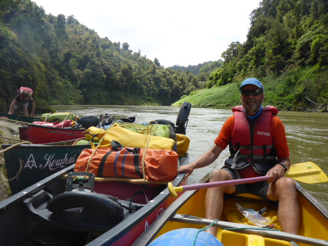
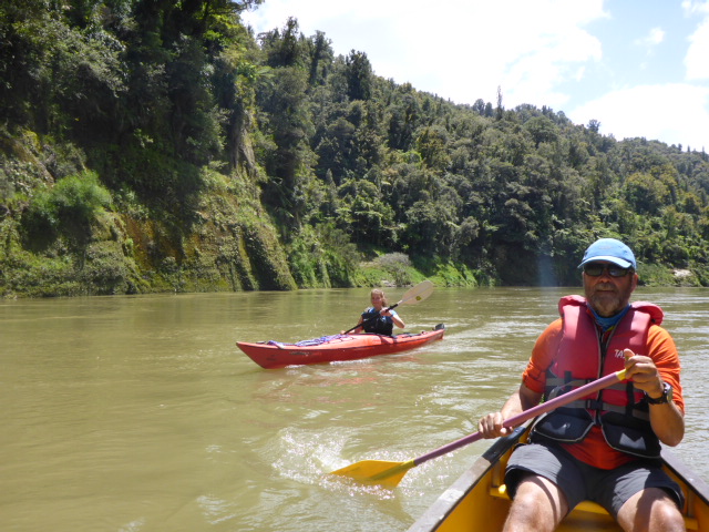
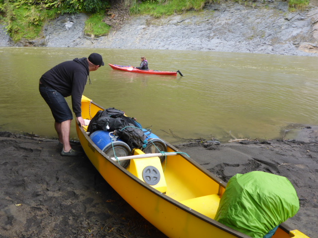
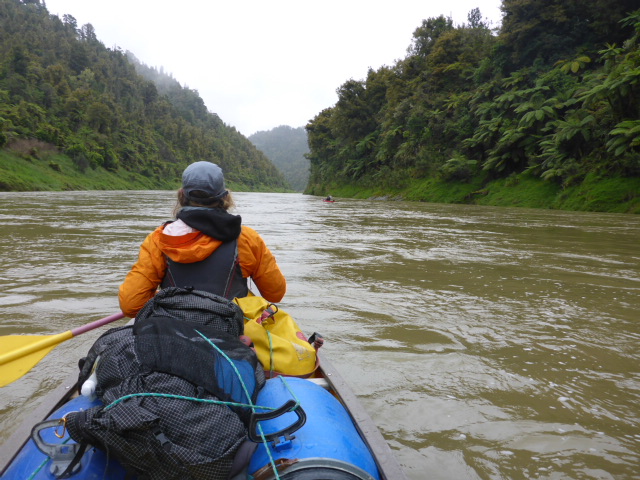
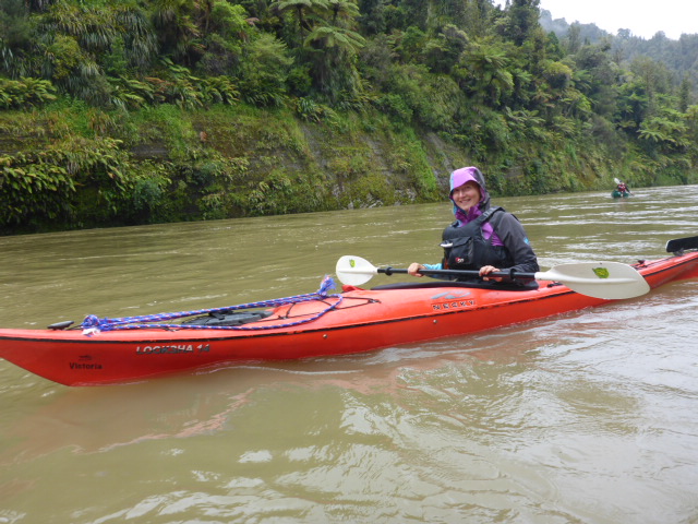
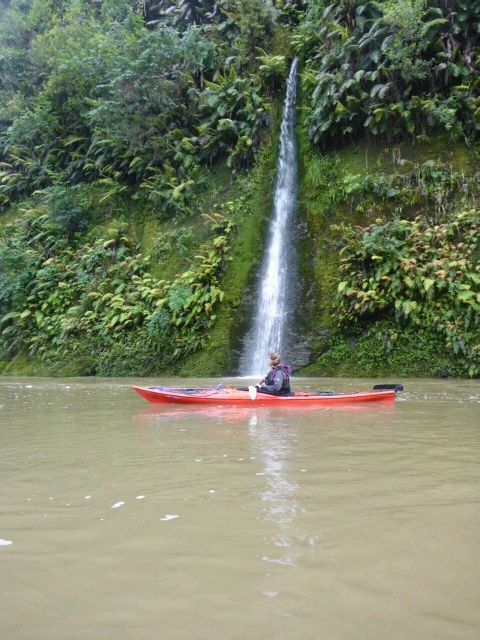
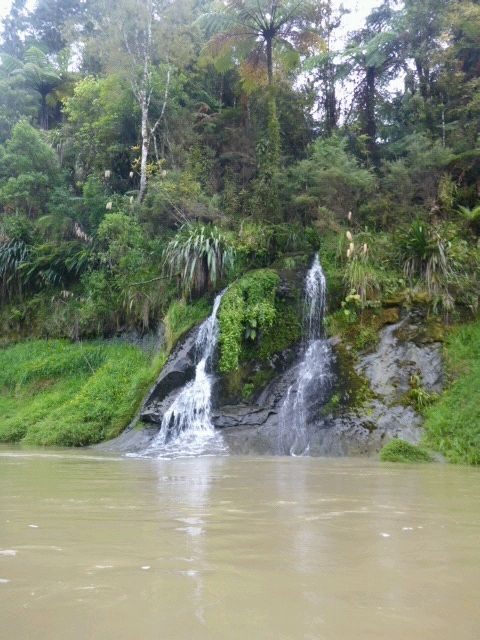
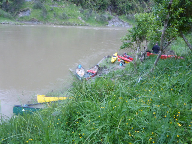
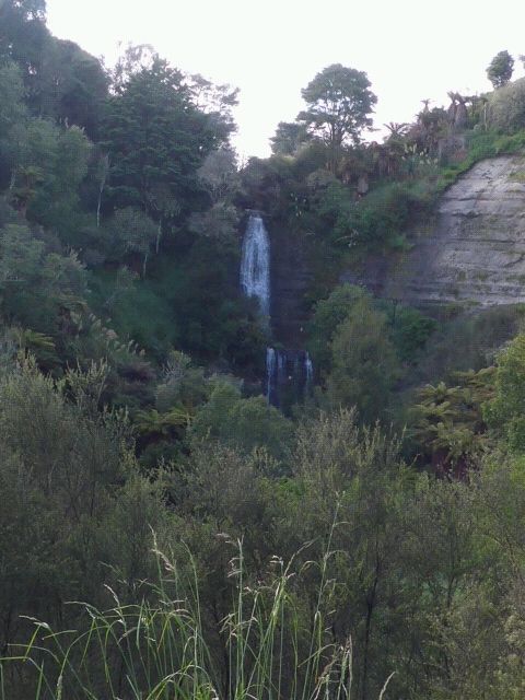
Irrespective of the need, we stirred around 0600 anyway. Breakfast wasn't until 0800 so we had plenty of time to have a cup of tea and get mostly packed before then. Headed up with Kevin, Gill and Greg - bacon and eggs for Belinda and me was the order of the day; Franziska was a cereal girl! We were ready for the canoes when they arrived around 0930 and we headed down for the launch. The days GPS info is here: https://www.movescount.com/moves/move131947534 - note it says we were trekking since I hadn't set up the kayaking option on my watch! We launched about 1020 but I forgot to hit the go button on the Suunto until we were a few hundred metres down the Whanganui, so missed maybe a kilometre. We actually launch into the Retaruke and travel down that for 500m or so before entering the Whanganui. Belinda and I were in a double canoe and Franziska had a single kayak. We were joined by Chevy, who works as an architect/project manager for a Scottish company that does projects mainly in East Africa (he was in a single canoe). We headed off down a fairly full, fast flowing river that has just dropped below an allowable level yesterday afternoon! Suffice to say what is noted as a 6-7 hour journey took us 3h20 without even having to work hard! The first campsite for a possible break was supposed to be after 2hr but we reached it in 50mins or so, so we sailed on past. An hour or so later we were nearing another possible stop but by the time we saw it, Belinda and I were unable to navigate our big old bathtub into the small landing spot (as the river is so high, normal landing spots are much smaller, or nonexistent!). Given the nature of the steep sides there was nowhere else to stop so, given we were going so fast, it was only another hour to our night stop at John Coull Hut, so we kept on going. The scenery is stunning down the river with the imposing papa bluffs and the vegetation right down to the edge. Plenty of waterfalls tumbled down the cliffs into the river, particularly because of the amount of rainfall in recent times! We got a few photos but I'm sure they won't do it justice. It was a fast but pretty safe trip really, although there are little whirlpools and eddies that can grab the canoe and try and turn you around occasionally! Because of our bathtub being a bit harder to navigate, approaching John Coull we sent Chevy and Franziska ahead of us to the landing spot. Luckily for us Chevy was out of his canoe by the time we arrived and was able to get hold of us before we sailed on by! Unfortunately he ended up in the river up to his waist! For a Great Walk the landing facility is pretty damn dodgy - especially as others there before us had left their canoes and kayaks on the water edge, leaving little room to get in. Anyway, we survived, just, and made sure our boats were well up the bank and out of the way!
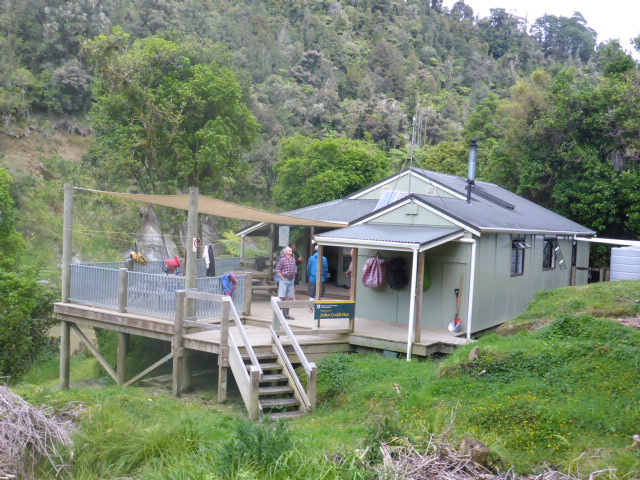
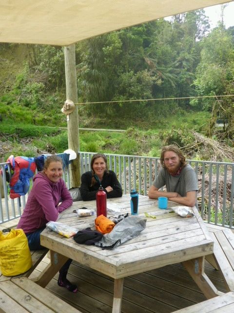
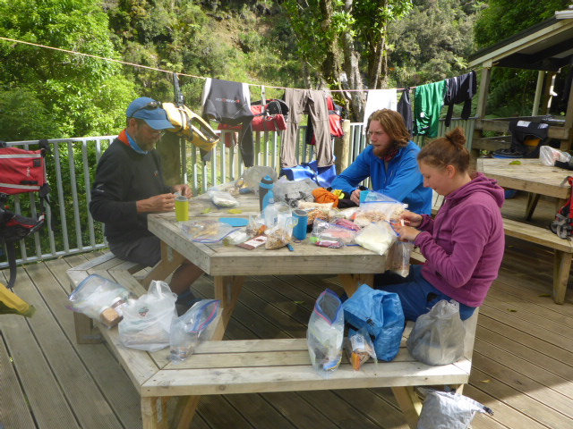
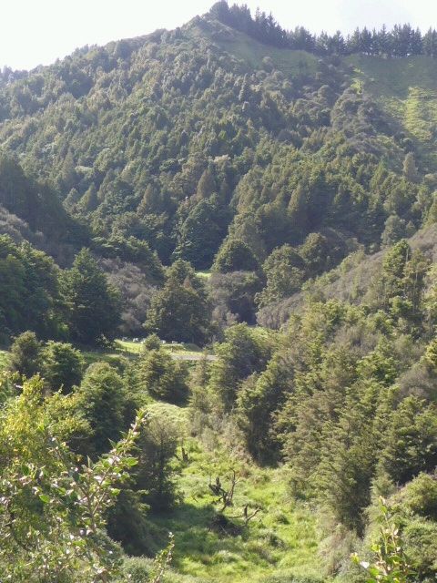
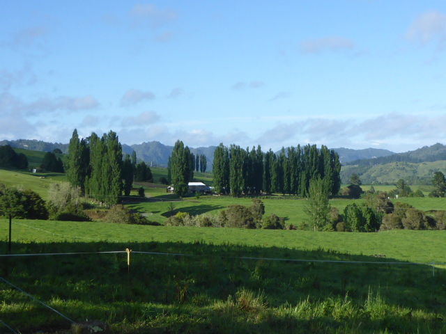
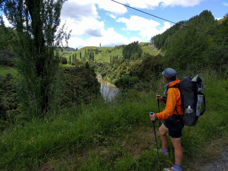
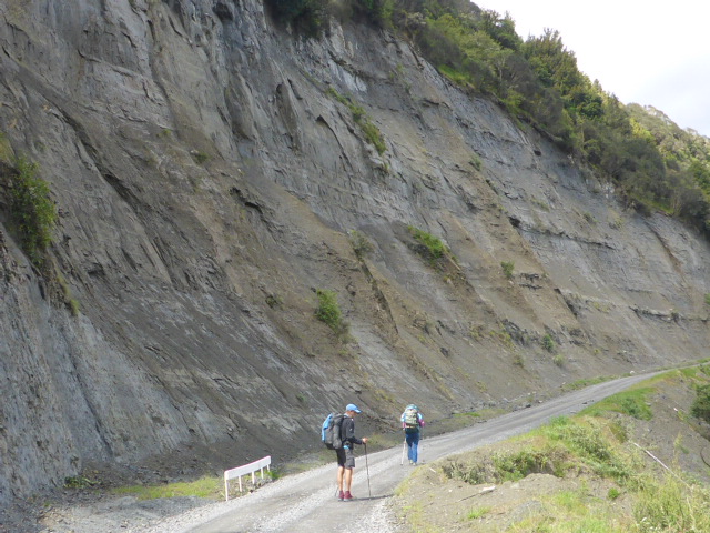
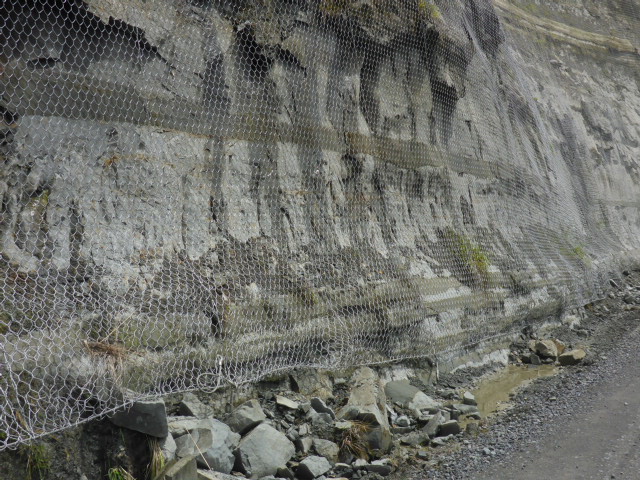
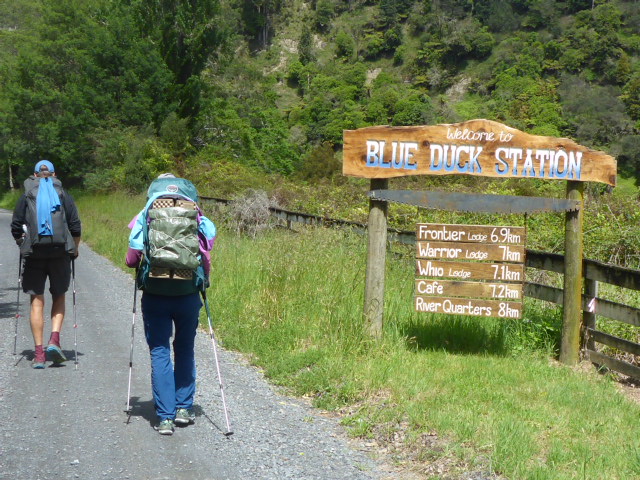
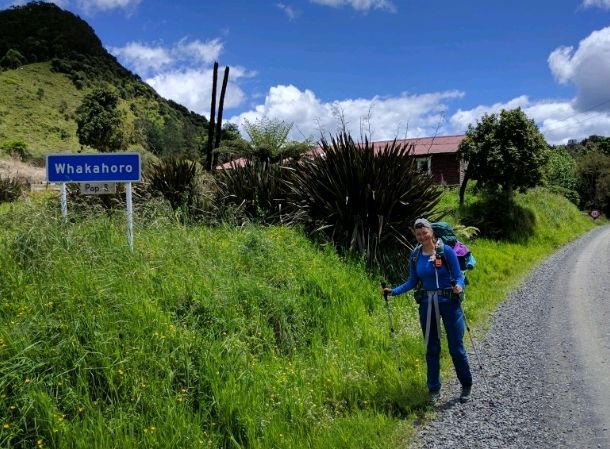
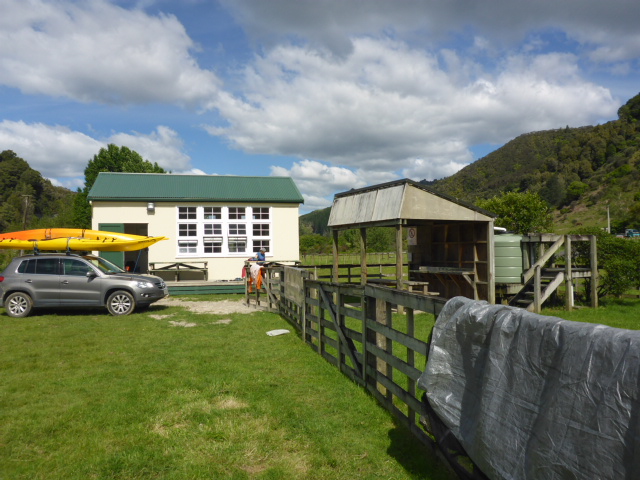
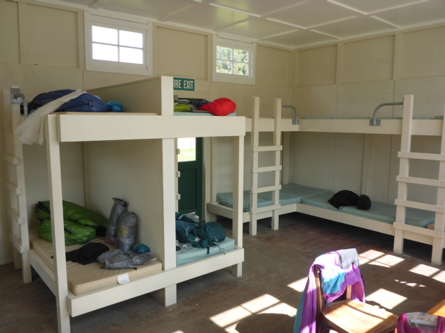
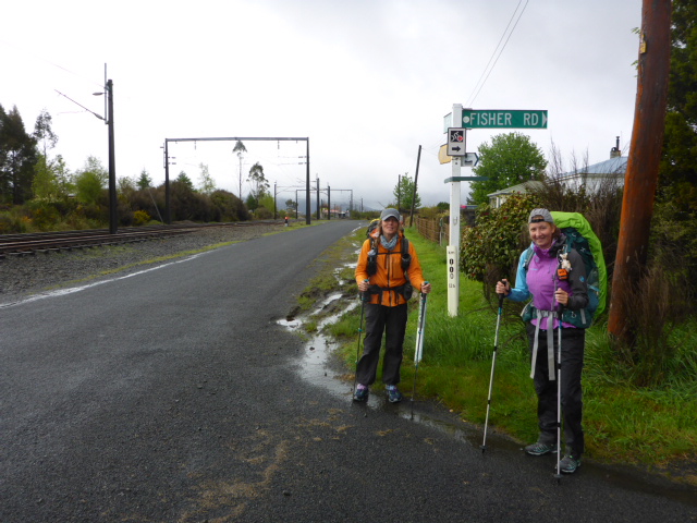
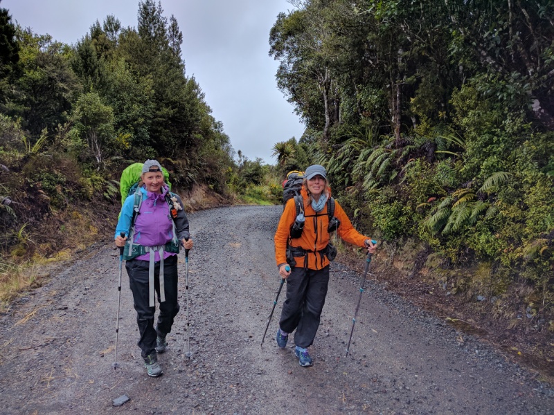
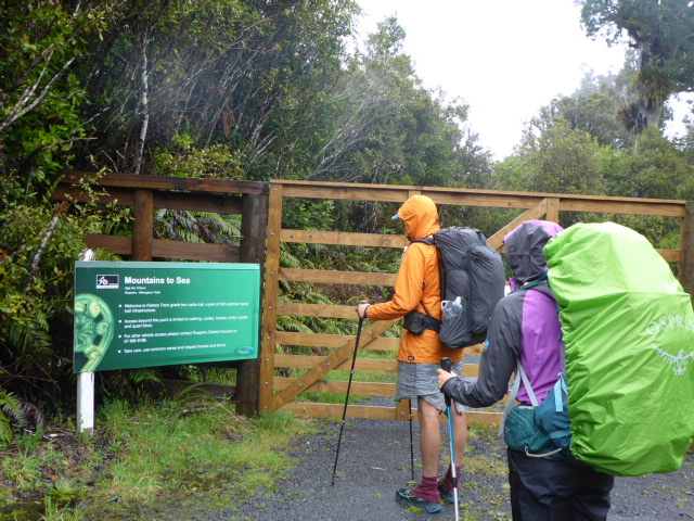
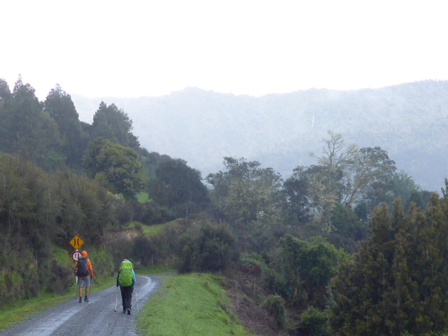
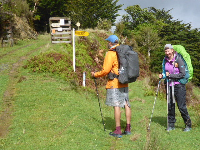
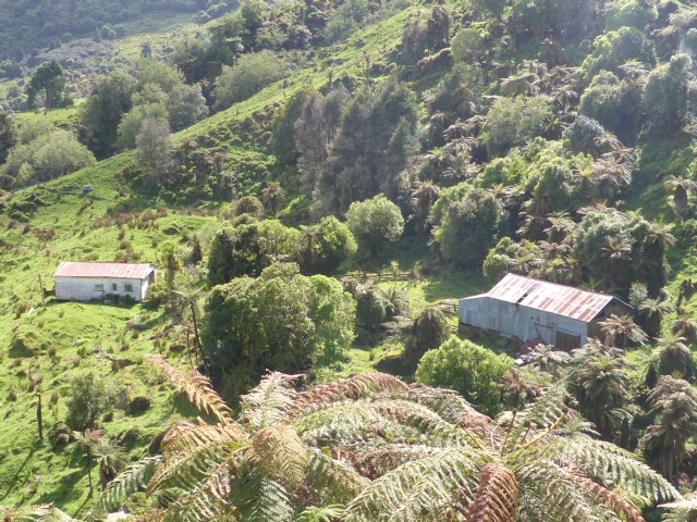
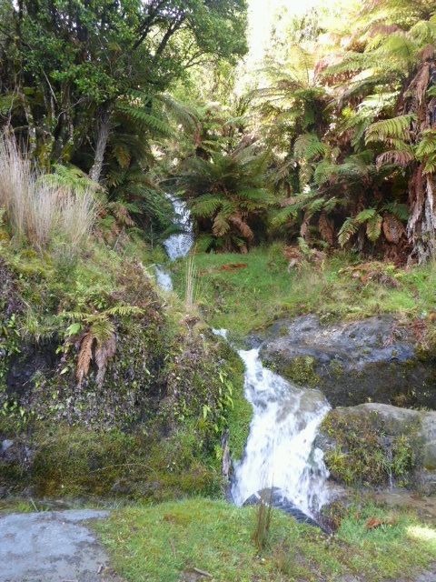
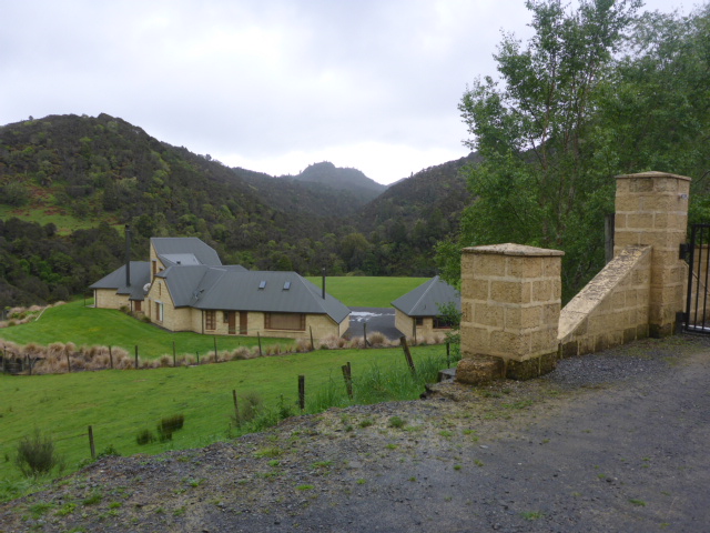
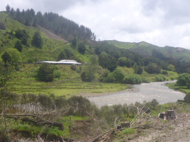
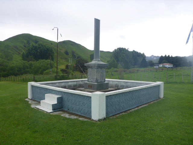
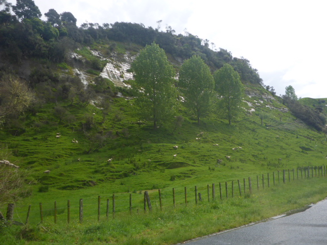
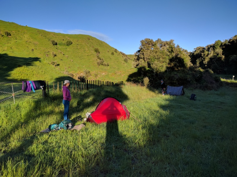
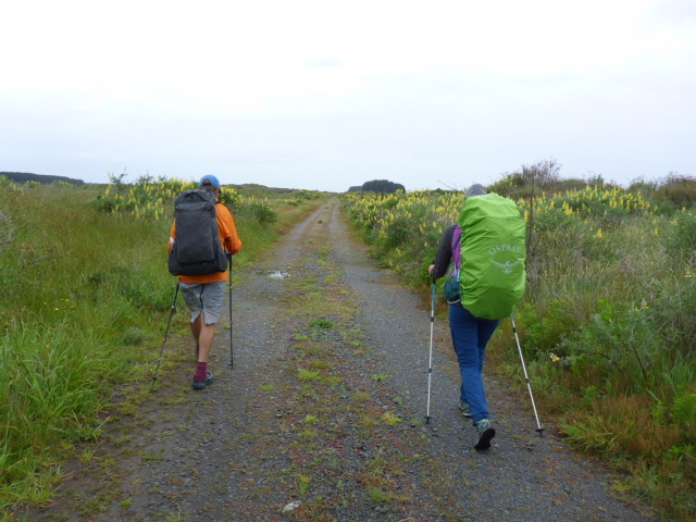
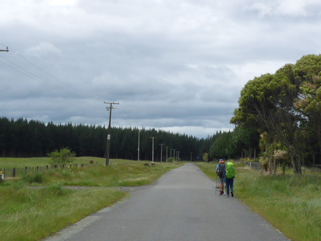
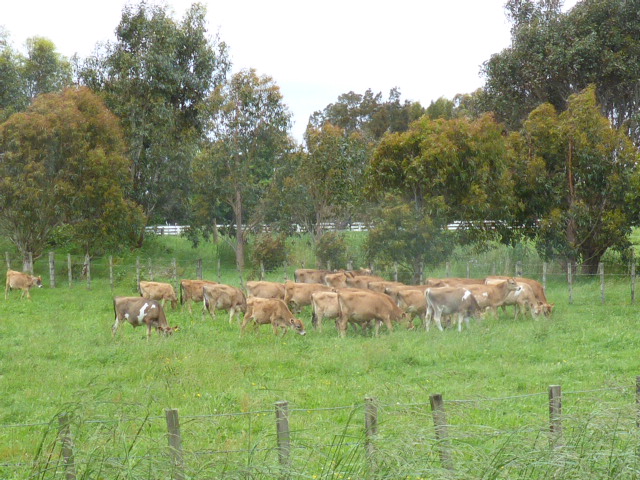
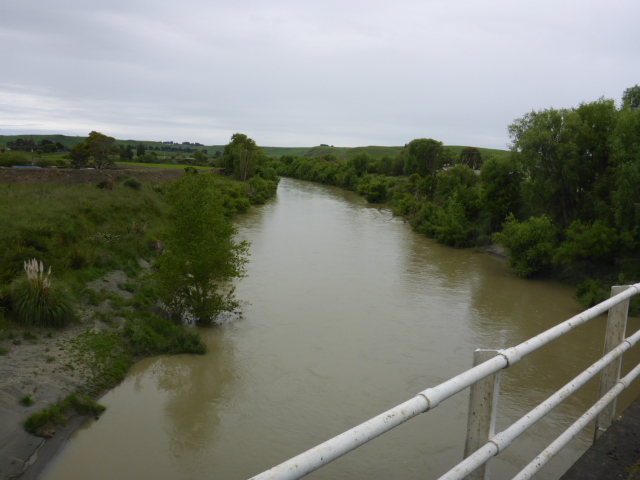
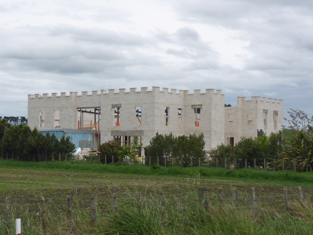
Since we arrived about 1400 we had a relaxing afternoon chatting with others and doing a bit of reorganising of our food supplies. Kevin, Gill and Greg arrived after 1600 having had a good stop on the way down. Luckily I was able to offer Chevy a beer for his heroic effort in getting us landed! Probably 20+ people here tonight but a whole group decided to move out and tent instead so the hut was not so full after all. Ian and Peter (brothers) were our volunteer hut wardens and were a veritable mine of information. Peter had been doing this sort of work for over 40 years, Ian a little less!! They told us plenty of stories including the 1998 flood where the river was running at 15 metres (the max allowable level for us to get on the water is 1.8m!!). Apparently the jetboat taking staff out was tied to the deck of the hut, over 13m above the level the river was at when we arrived! It's mind-boggling to think how much water would be coming down under those conditions! After all that we were in bed by about 2100 tonight. There was a reasonable amount of rain overnight but, miraculously, we awoke to a sunny morning! We packed up while enjoying the early sun and hit the road toward Whakahoro at about 0745. We ended up doing 21.6km in a leisurely 6 hours or so, taking our usual generous stops along the way! I forgot to turn the watch off when we reached the Blue Duck cafe, so the data says the day was a bit longer. The day's GPS data can be seen here: https://www.movescount.com/moves/move131951965 Today was pretty much all on windy gravel roads with gentle ups and downs - we went up 280m and down 340m during the day! This was through a mixture of hill country farmland and bush blocks - some of which were DoC scenic reserves. We were following the Retaruke River for much of the day, through some dramatic papa country with lots of steep roadside bluffs and very deep little waterways feeding into the Retaruke. We had decided to have a later lunch at the café so pushed on through, reaching Whakahoro and the café soon after 1330. Had a nice feed of toasted paninis and soup (as will as a free drink each afforded to all TA walkers!). Also got to chat with a local DoC guy and with the Blue Duck Station owner, Richard Steele. He has retired around a third of the current 3000ha or so and has an extensive pest management programme in place alongside DoC's. Great to see such an example of public/private partnership on a large scale! We settled into the bunkhouse along with a couple from Wellington, Kevin and Gill, who were there to canoe down the river with their 19yo son who is walking TA. Young Greg arrived soon after. Settled in about 2100 - we can't have breakfast at the café before 0800, and our canoes won't be here until around 1000, so it won't be a mad rush in the morning. We have been out of cellphone reception for seven days - apart from limited wifi two nights ago - hence no blogs. We have wifi now we are back in Wanganui for tonight (22nd) so I will try and update as soon as I can but it may take a few days to catch up! We set off from the lodge in NP at about 0730, intending to cover at least half of the 53km to Whakahoro today. We ended up doing around 31km, leaving a slightly shorter day for tomorrow. Had a brief chat with our canoe guy, Grant, this morning - the river is still high but we are setting off anyway and he will be there on Saturday where we can make a final decision. Fingers crossed! The GPS data for the day can be found through the following link: https://www.movescount.com/moves/move131949545 A short stroll down the road and over the main trunk railway saw us starting on the Fisher Track. This is also part of the Mountain to Sea cycle trail. This commences as a pleasant gravel 4wd track which is easy walking. There were a few small uphills but the general trend for the day was down - yeah! Although we climbed a total of 200m over the day, we ended up 600m lower! This gravel continued for maybe 8-9 km (guess!) before coming to an end at a farm entrance - is amazing how far from civilisation some people live! The track continued on as grass-covered papa which was wet underfoot but still good walking. The weather was variable today with patchy rain all day, interspersed with the occasional sunny break - but it was reasonably cool when the sun wasn't out. This took us through some rugged country which was probably all broken in in the early 1900's, but a lot of which has been left to revert to native scrub and bush. Tough farming country. But there was some farming going on in places including deer fencing, even in amongst the scrubby bits. After 13km we emerged onto Kurua Rd where we saw a flash house with a grand stone entrance - smacks of an absentee landowner! A couple of kms further down the road we found a large structure made out of the same stone proclaiming Retaruke Estates - we weren't sure whether that was the name of the farm or not. Then we were onto gravel roads - Karua followed by Upper Retaruke. Farming was much more in evidence as we got into valley floors - with what looked like some large operations. Most of the stock appeared to be in pretty good condition. We followed the Retaruke River pretty closely for some time. Eventually we came to some asphalt and, about a km further on reached the intersection with Oio Rd, which goes out to Whakahoro. We stopped here for a little while as there was a large grassy area here, including a toilet. There is a small cenotaph there and some information boards describing the little general store, blacksmith, post office and saleyard that used to be there. The buildings were long gone but the stock saleyard survived until around 1970. It would have been a nice place to stop but it was a bit soon for our plans, so we hiked almost 4km further down the road before finding a spot to put up the tents beside the road. This was only about 1630 but the consensus was it was long enough for today. It rained quite a lot at this stage so it was a bit of a challenge getting everything up, water filtered and dinner cooked while not getting too wet! All done and dusted and ready for sleep by 2000 - even though it's still light!
Had a leisurely start today as the bus left Bulls at 1025. So Grant cooked us bacon and eggs for breakfast before we headed off about 0945 to drive to Bulls. We arrived in NP not long after 1300 and settled into our unit at Plateau Lodge. Caught up with a few things (water damage on farm, sleep, emails, diary, blogs, news!) before heading off to another dinner at The Park just around the corner. Hopefully ready to get back to walking tomorrow!
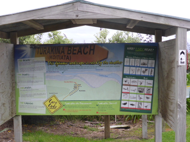
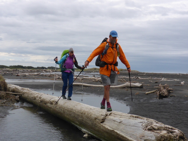
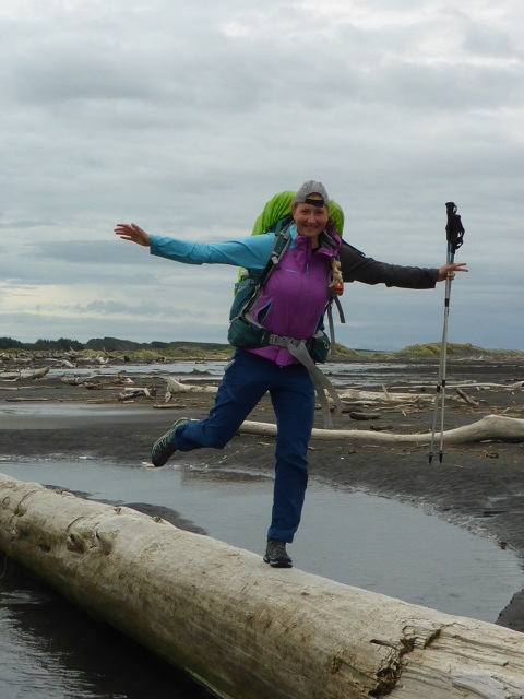
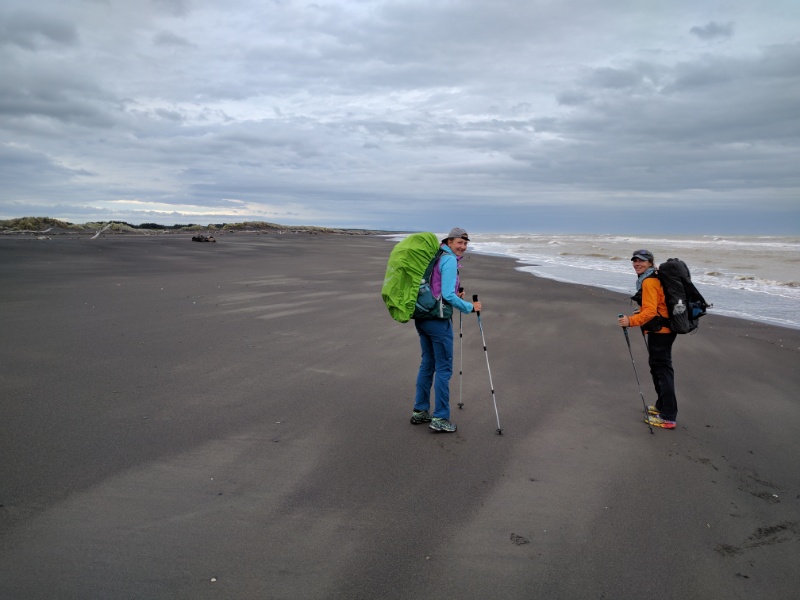
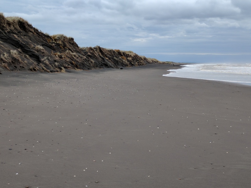
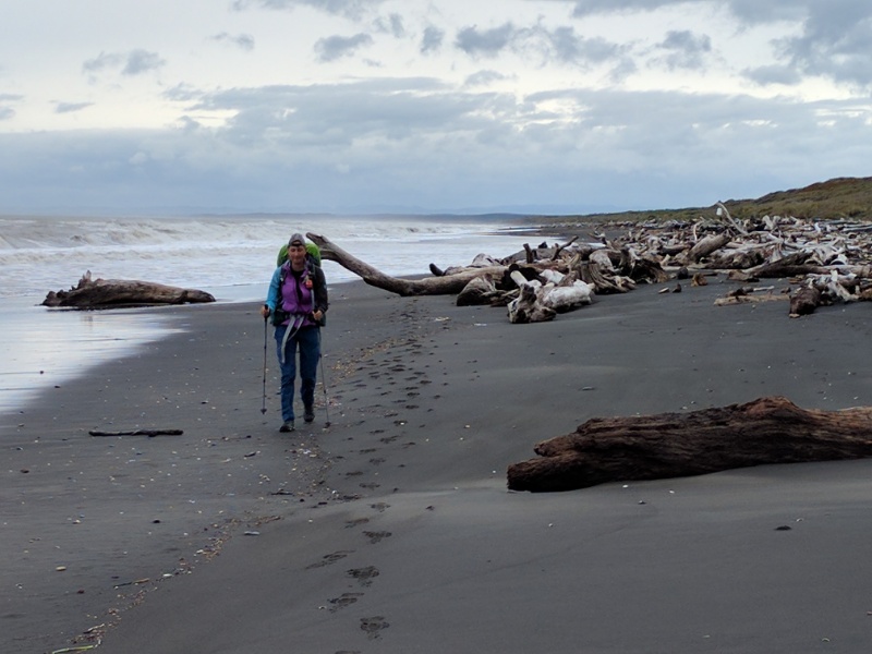
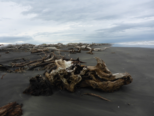
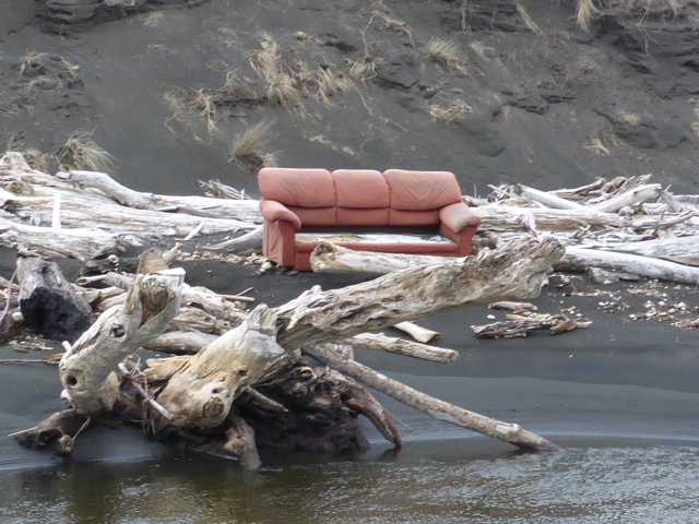
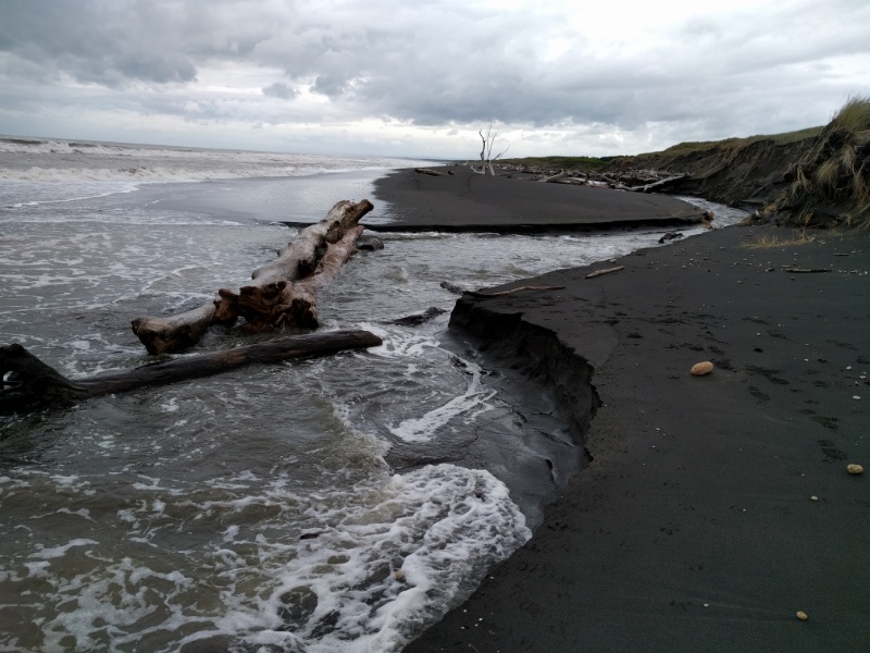
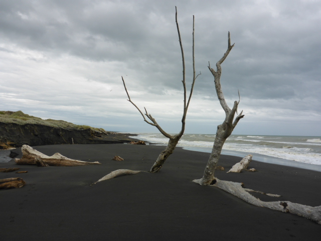
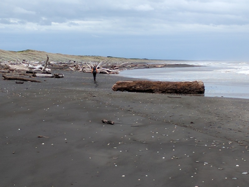
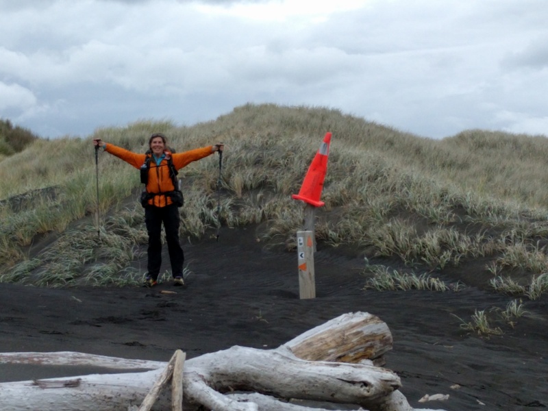
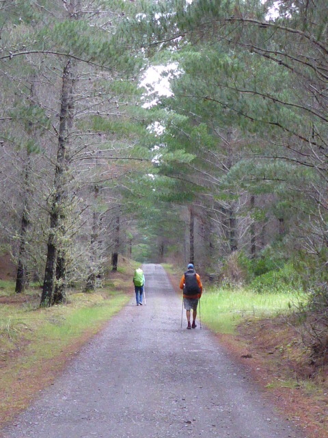
Everyone woke fairly early this morning including our host, Dave. After a good chat over breakfast and a cuppa we got underway just after 0700. The day's GPS track is here: https://www.movescount.com/moves/move131190667 Dave took us down to the beach and showed us a clever way to avoid getting caught up with getting around the lagoon, which involved a short walk north before heading out to the beach. Local knowledge is helpful!! We then set off for a 2 hour walk down the beach - the low tide was around 0500 so we were around mid-tide. It was a typical wild west coast beach with rain threatening us but, surprisingly, never really arriving (luckily for us!). There was a lot of debris, mainly large bits of driftwood, on most of the beach. If the tide had been any higher we would likely have found ourselves walking amongst it! We had to cross the Koitiata Stream about half way down. There were two big logs across it but they were being rocked by large waves which made the crossing rather interesting! B got her timing wrong for once and ended up with wet feet - F and I luckily managed it with dry feet! We found the exit from the beach - someone had helped by putting a road cone on a pole beside the TA signage! Then it was off the beach and into what is left of the Santoft Forest - we stopped here for a 25min break as we were all feeling a little weary today! Much of the forest has been harvested and some turned into dairy farming so it was not a particularly exciting 10km walk. After coming out of the "forest" it was further 10km of rural asphalt road to Bulls. We did have a number of logging trucks go past as there were logging operations going on beside the road. About 30 mins before reaching Sanson I rang my brother Grant to come from Fielding and pick us up, so he arrived about 5 minutes after we did! All three of us had struggled a bit for varying reasons today so it was nice to get to the day's end! Belinda had some problems with shoes so, as we were back in Feilding by around 1530, we borrowed the car and went on a rushed shoe buying mission in Feilding and then in Palmerston North. We finally found a pair of alternative Merrell shoes at Bivouac in PN - so B will try these out alongside her Hokas (we cannot source any more of these in NZ) to see if they will work OK for the South Island. We drove back to Fielding and spent a very relaxing evening, including a lovely roast lamb dinner (much appreciated thanks Joan!!), a nice shower and comfortable beds to sleep in - sheer luxury!!
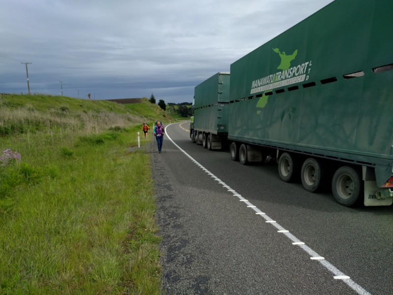
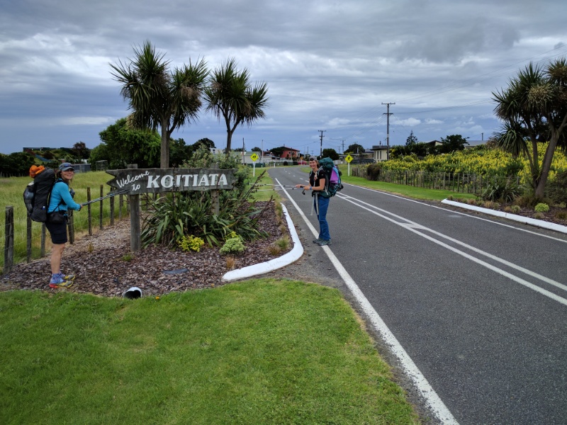
Today technically started at 0002 when the large 7.5 earthquake struck near Hanmer Springs in the South Island just after midnight. It is the biggest shake I have felt in my almost 60 years! It woke both Belinda and I up and, as most of you will know, went on for almost 2 minutes. Our YHA host, Clive, came down to check everyone was alright. It was certainly an experience for Franziska who had never felt an earthquake before! In Wanganui we didn't seem to feel many of the aftershocks strongly but it still affected all our sleep! What a way to start the day. We were up around 0600 and left the hostel just after 0700 and knocked off for the day at the small coastal settlement of Koitiata around 1630. We covered just under 32km today. The day's journey can be viewed at: https://www.movescount.com/moves/move131057597. While the first 3km or so was through town alongside the river, the reality is that this was primarily a walk along SH3, a busy main road - with the last 8km on a small country asphalt road. It's not a walk one would choose to do if it weren't part of the TA - walking alongside lots of traffic, including many trucks, with not many opportunities to get far off the road. So we just walked steadily all day with several stops to rest the feet from the hard surfaces. Then it was out onto SH3. We walked for just under 2 hours before stopping at the Kaitoke Hall for a break out of the wind as the day hadn't really started to warm up. Then it was off towards Whangaehu and Turakina. Not long after passing Whangaehu we stopped for a break, only to have a ute pull up alongside us. It was a couple of ex-colleagues of mine from Baker No Tillage! So Benjamin and Tim stopped and chatted for 15mins or so - great to catch up. We will probably see them again in 12-14 days as I had planned to drop in and see the team in Feilding when we walk through there - the TA runs close by. We stopped for lunch by the antiques shop on SH3 near to the turnoff to Turakina Beach Rd. The lady said they only lost 3 or 4 pieces in the quake - a miracle when you see the hundreds of items of crockery and glassware they have in there! From there we only had 8 km or so down Turakina Beach Rd to go. About 2 km from the beach a guy went past in the opposite direction giving us a toot and a wave. A couple of minutes later Dave pulled up behind us and offered us a place to stay (he described it as an old grey box!) instead of the campsite. He was heading to town for a couple of hours but told us how to find it and to go in and make ourselves at home if we wanted to. He said the weather was "turning to custard", which we already knew - so any offer of a roof over out heads sounded pretty good! We arrived at about 1640 and had a look - quickly deciding that we would definitely take him up on his kind offer! A typical old 1950's NZ Bach about to get a makeover, but with a hot shower, power, toilet and a dry floor to put the sleeping mats on. What could be better! The rain very soon set in, making the decision an even better one! A very wet walking day in prospect for tomorrow though, even if it will be a dry night. We made ourselves at home and Dave joined us about 1900. He'd just come back from Aus so is in the process of setting the place up. A great evening with lots of interesting discussions before we camped out on the floor. We had already decided that Sat 12th would be a rest day after several fairly long days for us, especially since B and I were just getting back into it - and Franziska had also had two weeks off with her injured foot before restarting at Taumarunui as well. Our plan was to have Sat off and start walking to Whakahoro on Sunday for a Tuesday start on the Whanganui River canoe trip. But after looking at the huge rain front coming in on Tues, and talking with our canoe hire guy, Grant, we decided to change our plans.
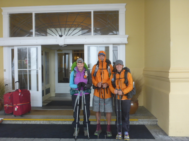
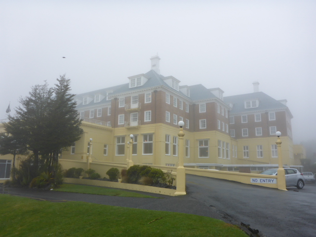
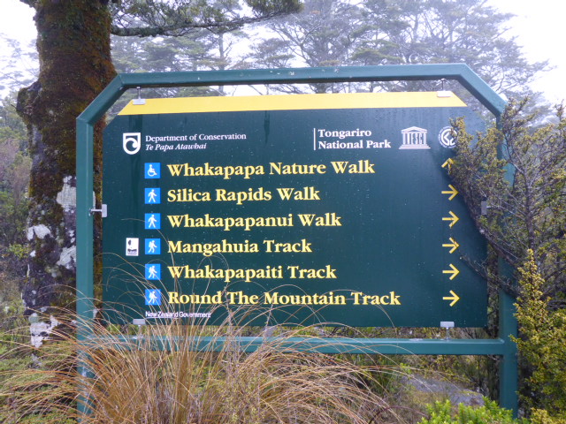
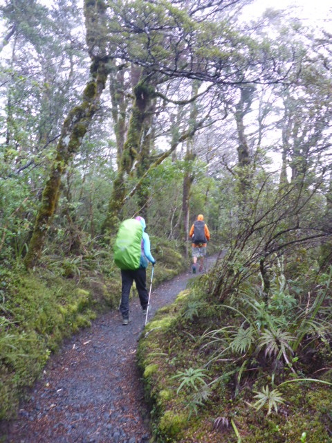
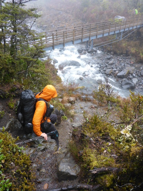
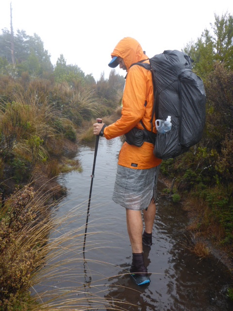
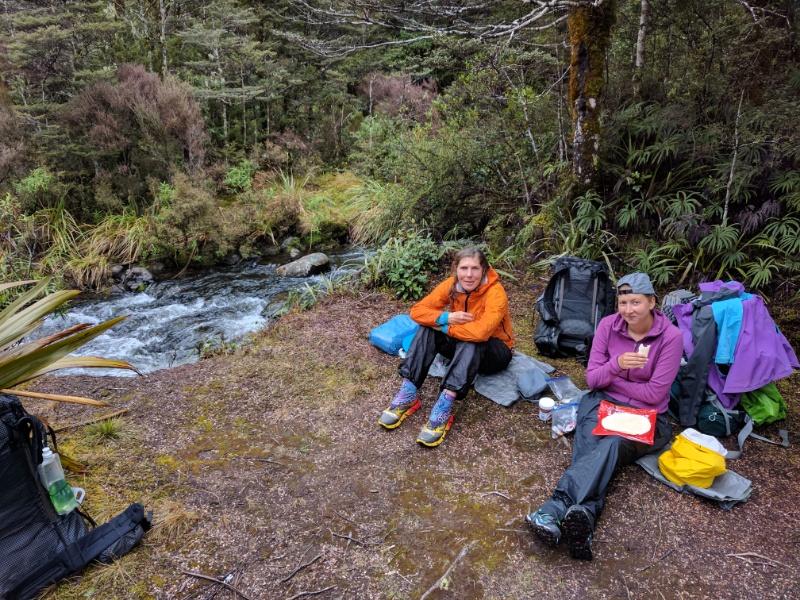
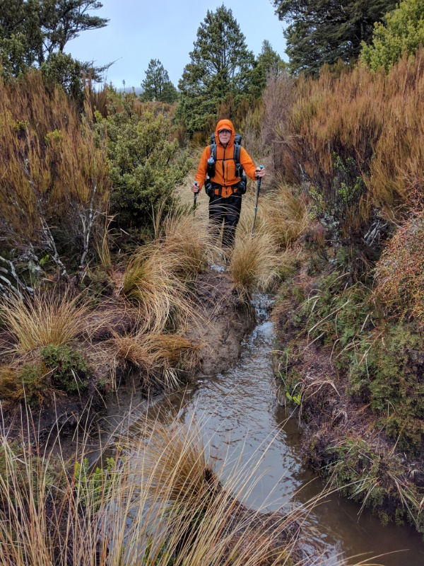
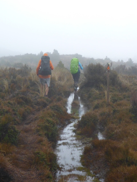
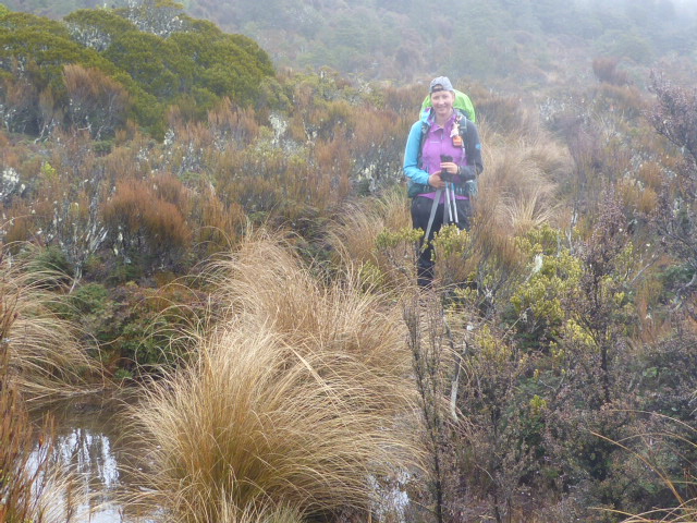
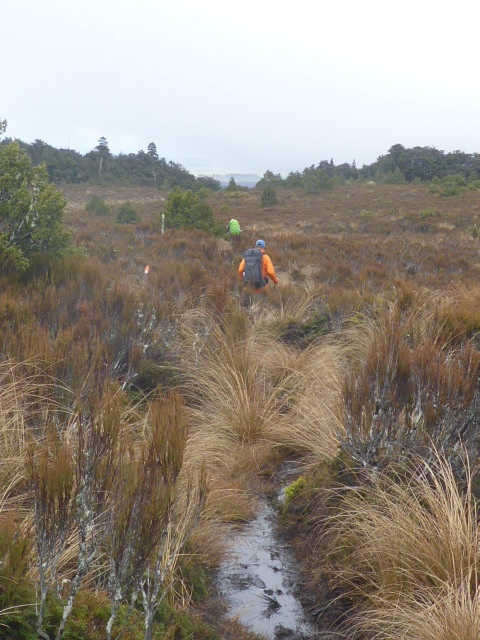
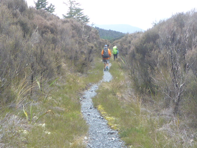
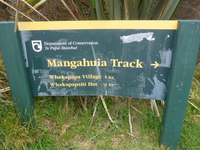
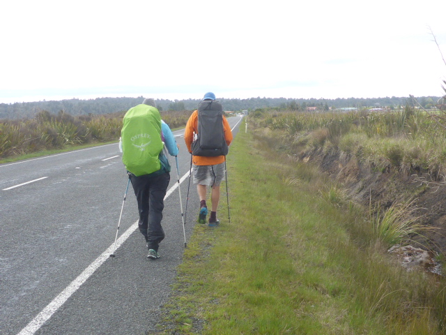
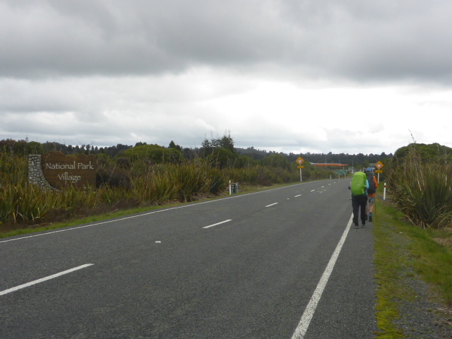
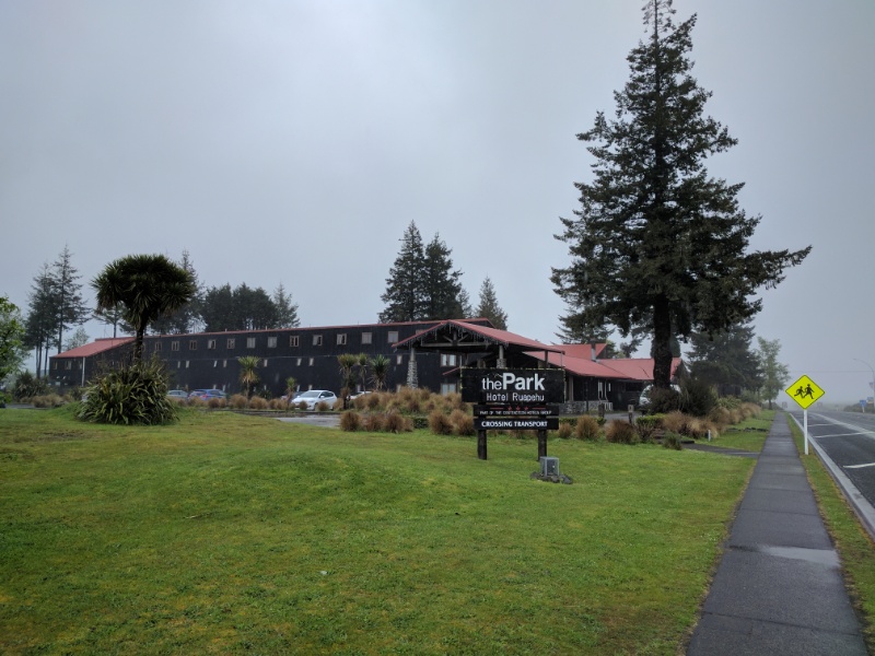
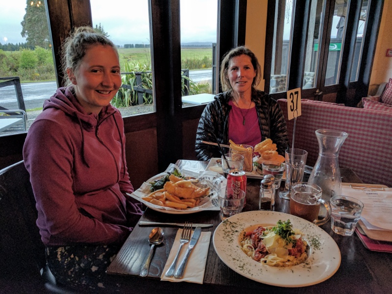
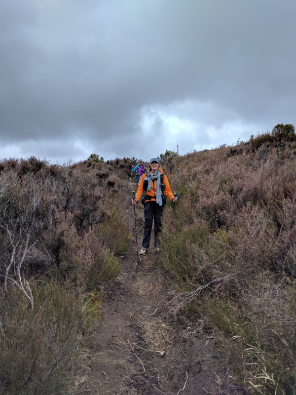
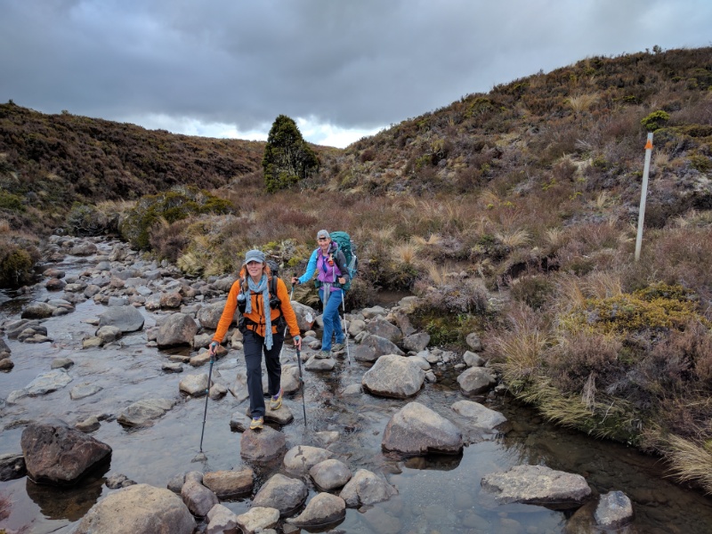
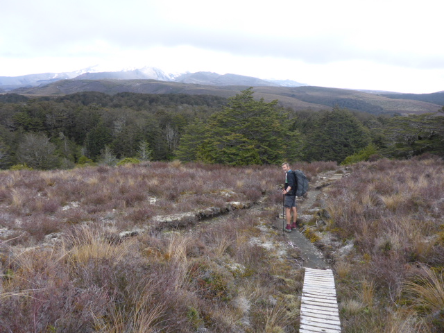
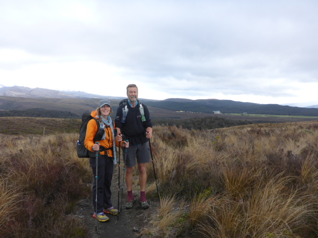
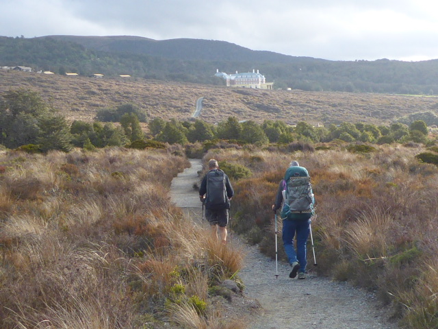
We booked a bus to Wanganui for Sun afternoon staying at the YHA and will walk Wanganui to Bulls on Mon/Tues. We will stay with my brother Grant, and Joan, in Feilding Tues night - and catch the bus back to National Park on Wed - for a Saturday start to the three day paddle (hopefully with some finer weather and safer river levels!). After canoeing/walking to Wanganui, we will bus back to Bulls and continue on from there. A bit messy, but better all round for both safety on the river and for enjoyment of the river journey! Today we had arranged to meet Franziska at 0845 as it wasn't a huge day ahead. After some photos with some Asian tourists (who I'm sure thought we were mad walking in misty weather!), we got underway from the Chateau just before 0900. Today's GPS data can be seen here: https://www.movescount.com/moves/move130668385 The entrance to many of the tracks, including ours, was about 400m up the hill, after which we headed into the bush consisting primarily of beautiful beech trees. It had rained overnight so we expected a bit of water and mud underfoot. As always, the further you get away from the main centre (Whakapapa in this case), the more the track standard tends to reduce! The day involved heading on the Whakapapaiti Track for about 6.5km before heading off west and north on the Mangahuia Track for about 7.5km, with a 6km road walk to National Park village to end the day. Walking through the portions of beech forest was great, but a lot of the day revolved around walking through wetlands and drier tussock land. When I say drier, I simply mean it wasn't a swamp but we were still walking a lot through muddy, wet tracks which made it challenging at times! The first part to the Whakapapaiti Stream Bridge was not so bad, involving a bit of up and down, but once past that it was primarily downhill! Once over the bridge and on the Mangahuia Track, the conditions did worsen a bit - by now we already had very wet and muddy shoes so it didn't really matter but it can be difficult walking through mud occasionally up to your shins! Some of it we could just keep out of by walking along the side of the deeper bits but other times there was no choice but to walk on through :-) After about 2.5km of this track we had to cross the Mangahuia Stream. This can be quite dangerous after heavy rain - even with the rain last night it was flowing fairly fast but with caution we all got across safely. There was a nice open area just after the crossing so we stopped for some lunch. The rest of the track to the Mangahuia campsite near SH47 was a mixture of boggy areas and slightly less boggy areas (!!) although there was an improvement in the track as we got closer to the camp! As noted earlier, the final stretch was a 6km asphalt road walk into National Park - arriving around 1600 from memory. Franziska had booked into Plateau Lodge but they couldn't accommodate us so we ended up round the corner are The Park hotel/backpackers for our planned zero/rest day tomorrow. Franziska came around and had dinner with us before we all retired for the night - looking forward to our day off tomorrow!!
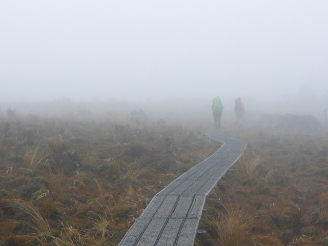
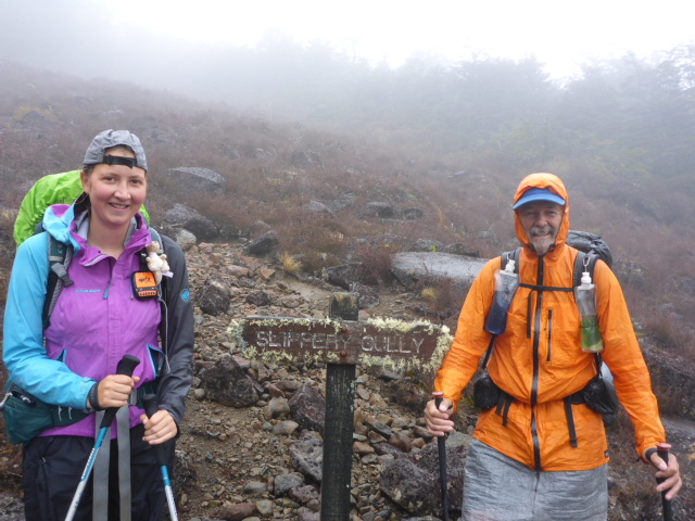
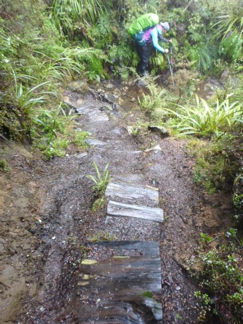
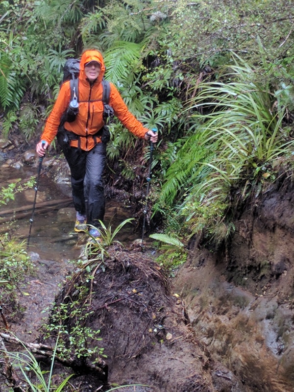
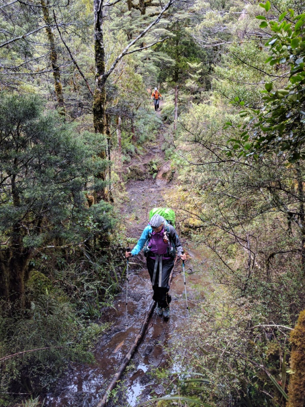
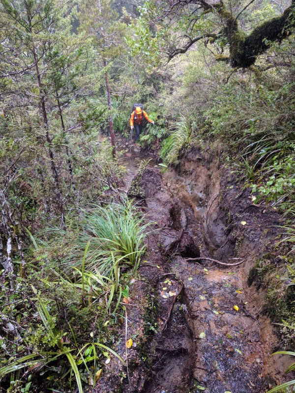
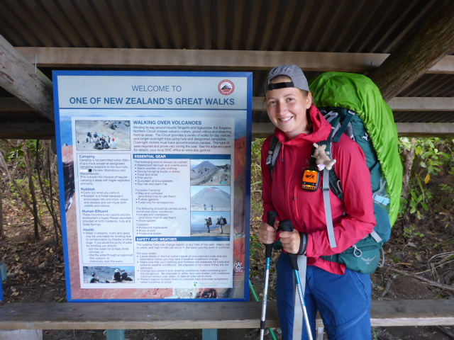
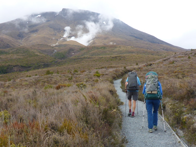
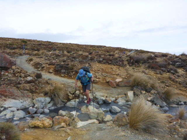
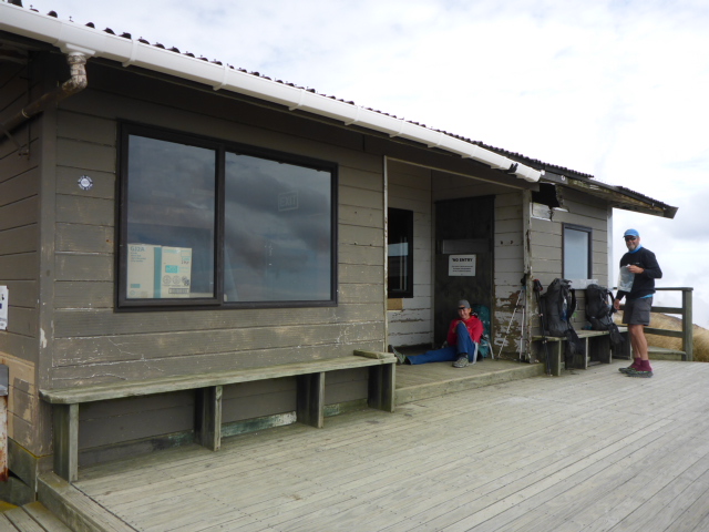
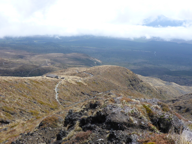
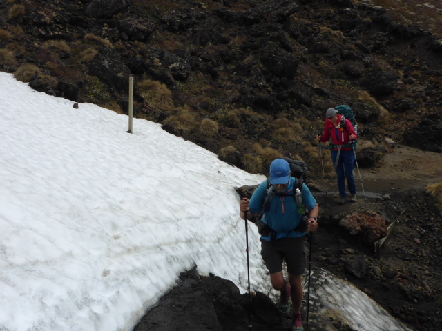
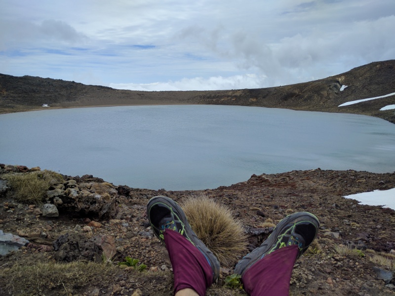
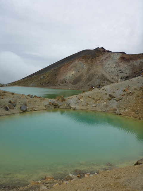
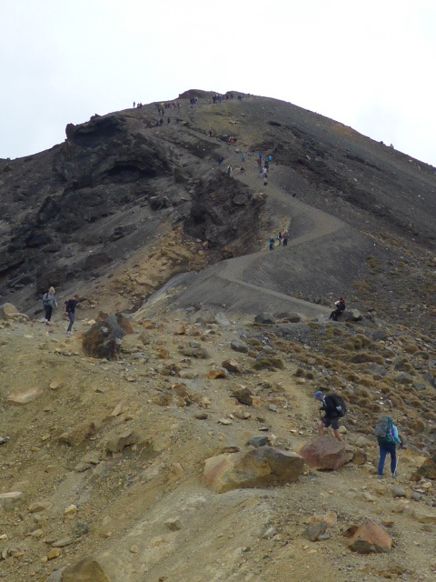
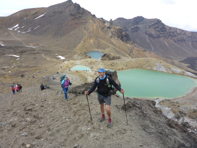
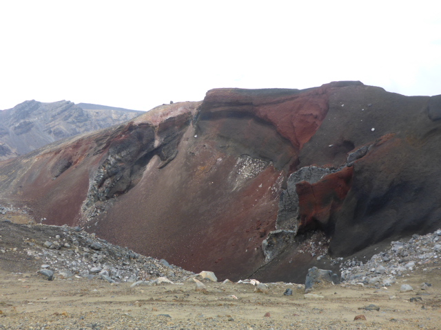
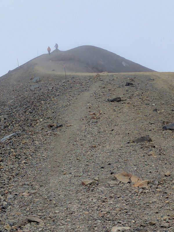
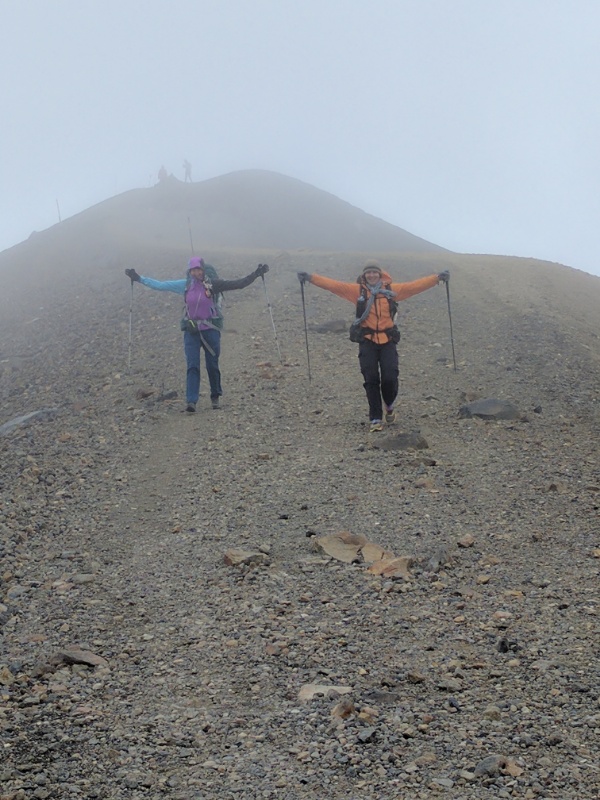
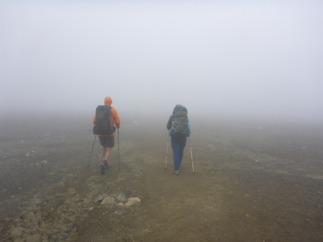
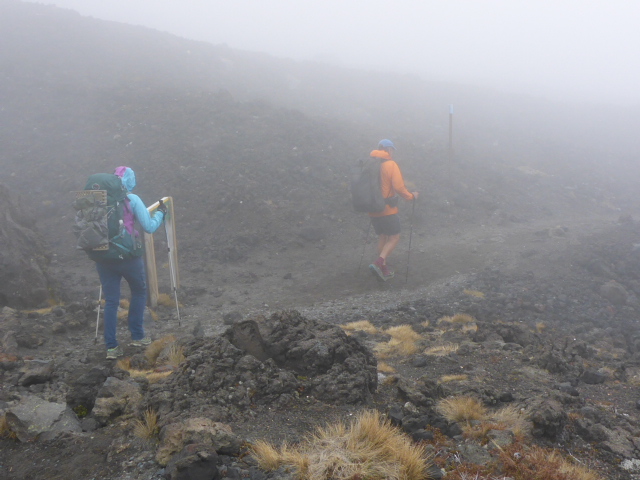
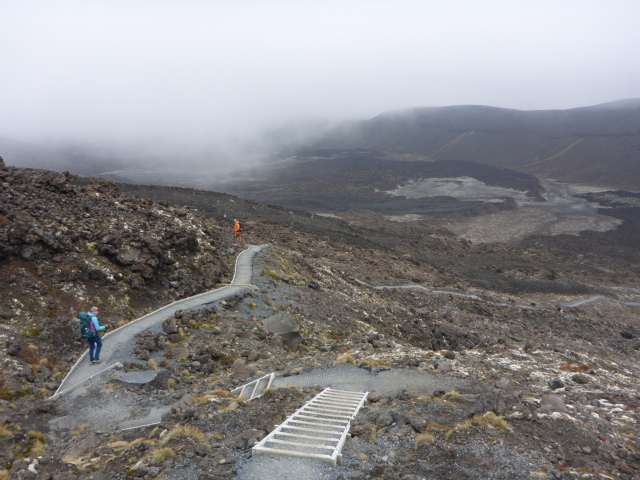
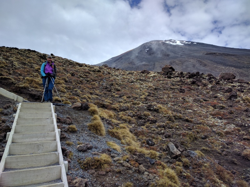
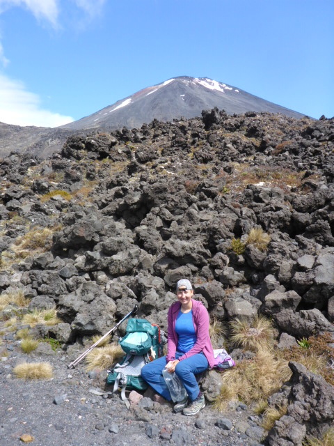
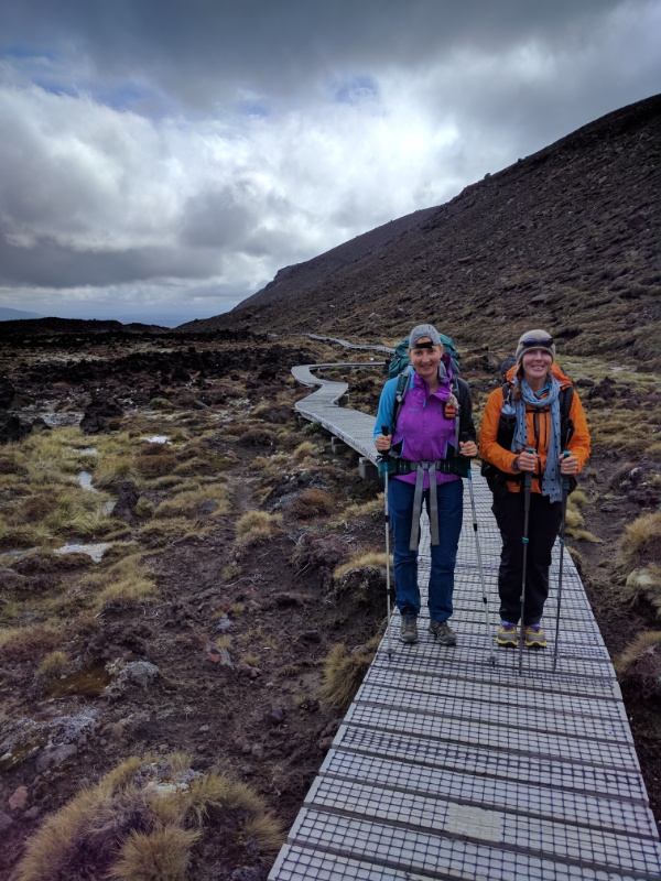
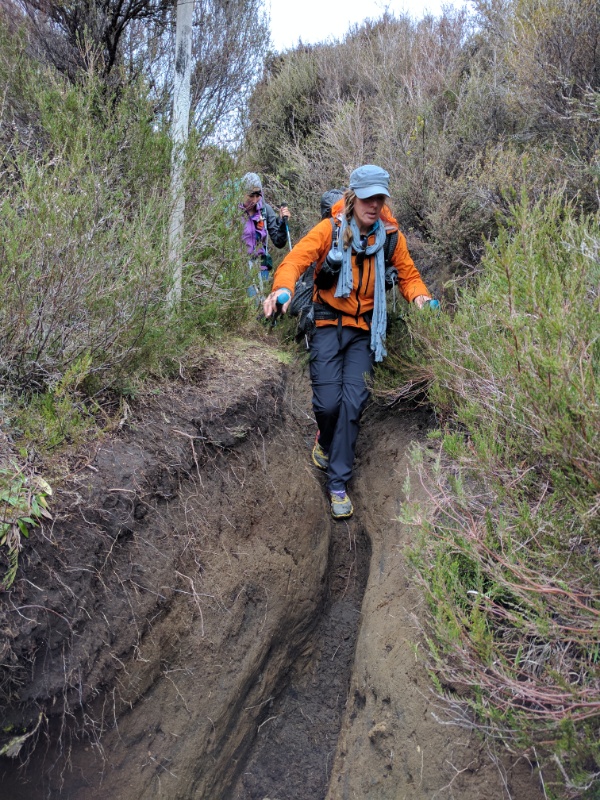
We knew today would be long and hard so B and I were up at 0500 to get sorted for 0610 departure. We ended up having a 12.5hr day (including breaks), walking around 36 km, with over 1600m of ascent and 1100m of descent! GPS data for the day can be seen at: https://www.movescount.com/moves/move130668376 The first 7.5km was along SH46&47, including the last km up the gravel access road to the Ketetahi carpark. There was a slight mix-up with Franziska's bus so she arrived about 10 minutes after us. After a short break there we set off up the"hill". A number of you will have done the crossing before. Our last time was 2008 and it's fair to say we noticed some significant improvements to the track in places. It was also a different perspective doing it "in reverse"! Climbing out of the tree section we were soon into the familiar open alpine environment. Most of the horrible old steps have been replaced with matting on inclined paths (with occasional new steps) - which made for much easier walking than we would have had otherwise. We wended our way up to Ketetahi Hut and stopped for a rest and refuel before setting off again. We had seen our first northbound walkers before the Hut and there were several more there by the time we left. After that the numbers increased! Not quite an ant trail but very busy anyway! Our next stop was a lunch break out of the wind (westerly) at Blue Lake. The day was fairly fine but not too hot, with a fairly cool breeze (up to 45 kph) at this stage. Next on the list was Emerald Lakes and the climb up the infamous shale slope to the Red Crater peak. Even this has been engineered by DoC so that it is a slightly more even climb, and not as loose a rubble surface as it used to be - but still a challenge, especially going up rather than down! A lot of people here including a group of schoolkids. At this stage the misty weather rolled in and the temperature dropped. Heading down the narrow ridge we couldn't see the drop off on either side! Going across the plateau after this you could have been anywhere on earth - or the moon. Eerie - even hard to see the next marker pole. When we were last here in 2008 they had just started an eastern bypass track around Devil's Staircase, so the new route was easy tracks and steps rather than an old fashioned rock scramble!! When we stopped at the bottom for refreshments we showed Franziska where the track used to go. The boardwalks across Soda Springs lead to an improved track down to Mangatepopo Hut. Rather than this being close to the end, if we were just doing the crossing, we now had another 9km to get to Whakapapa Village. We soon found out why a guide we chatted to at Red Crater referred to it as "the ditch"! While some of it was OK walking, much of it was wet, muddy heavily eroded track where water simply follows the pathway, causing deep ruts over time. Pretty challenging after a long day, part of the reason we don't have many photos of the worst bits! A fair bit of scrambling through deep drops and the occasional waterway crossing was included!
|
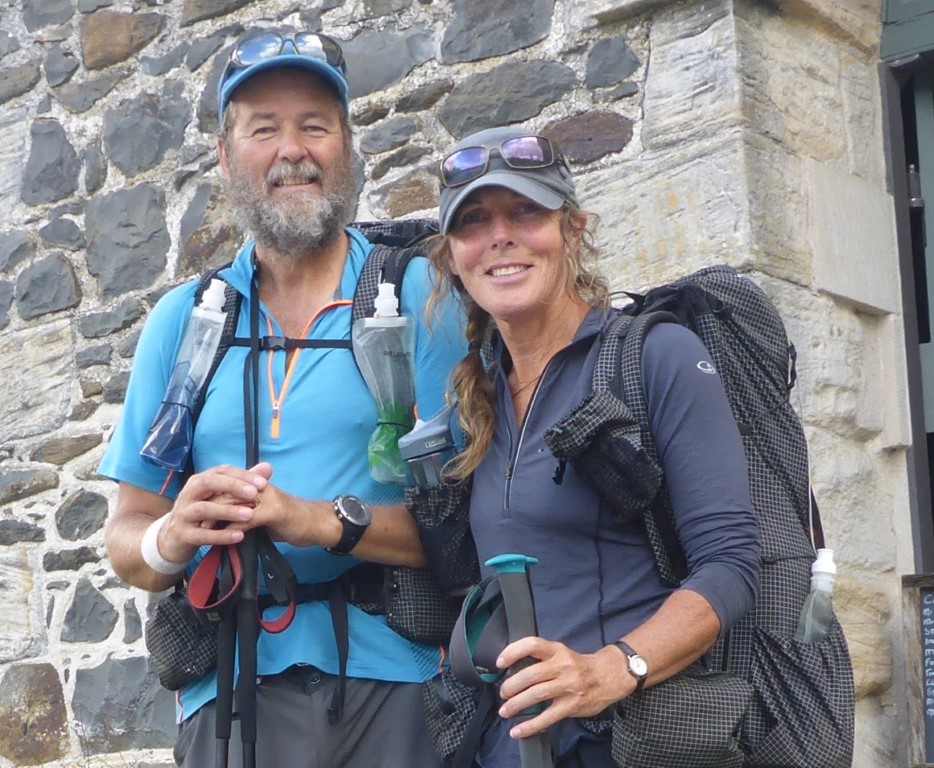
AuthorBelinda and Anthony (aka Tony) Hadfield made a decision, in their late 50's, to do something a "bit different" and walk New Zealand's 3000km Te Araroa Trail over summer 2015/16 - although updates will now tell you that this plan will take longer now!!. As the old saying goes - "don't leave home 'til you've seen the country"!! Archives
January 2018
Categories |
 RSS Feed