|
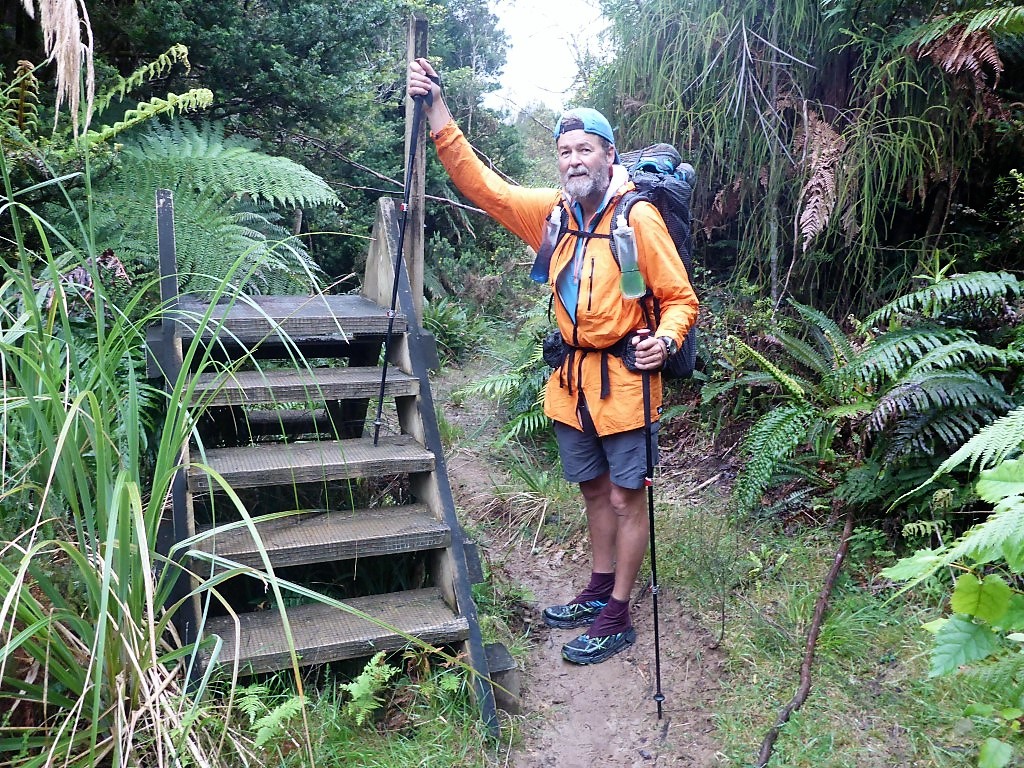
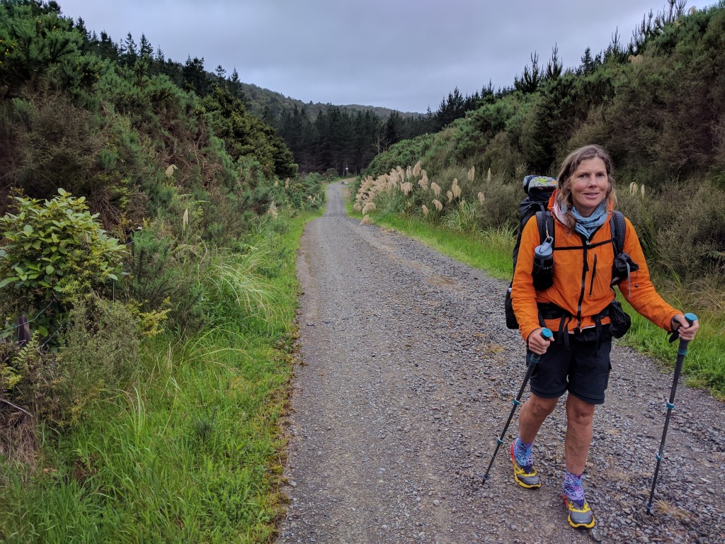
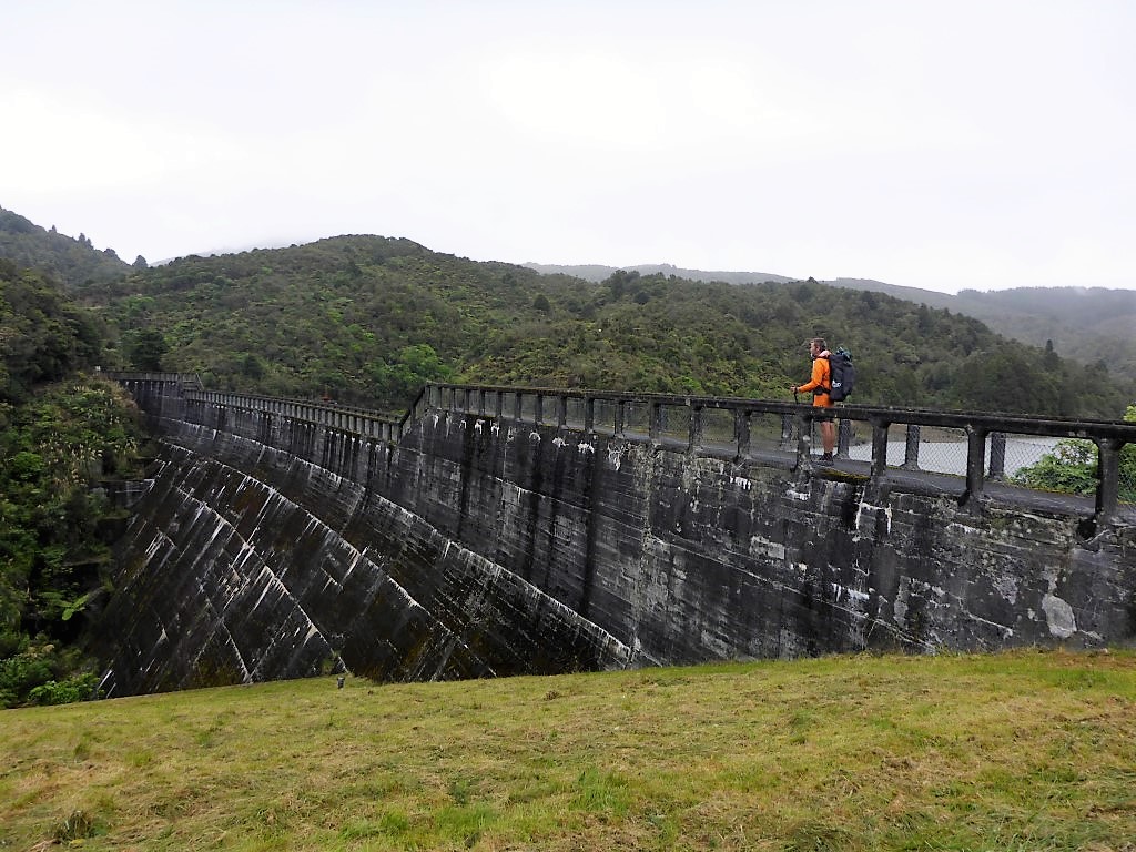
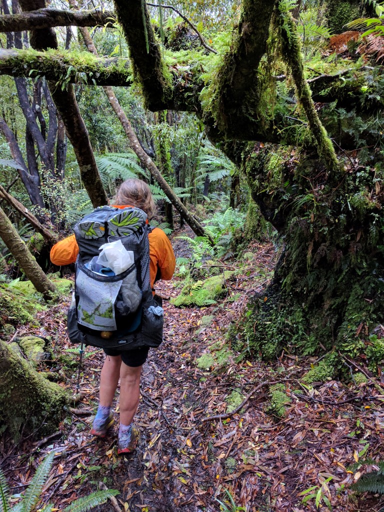
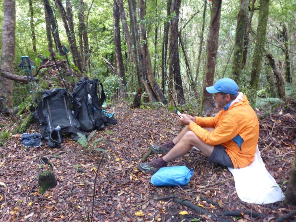
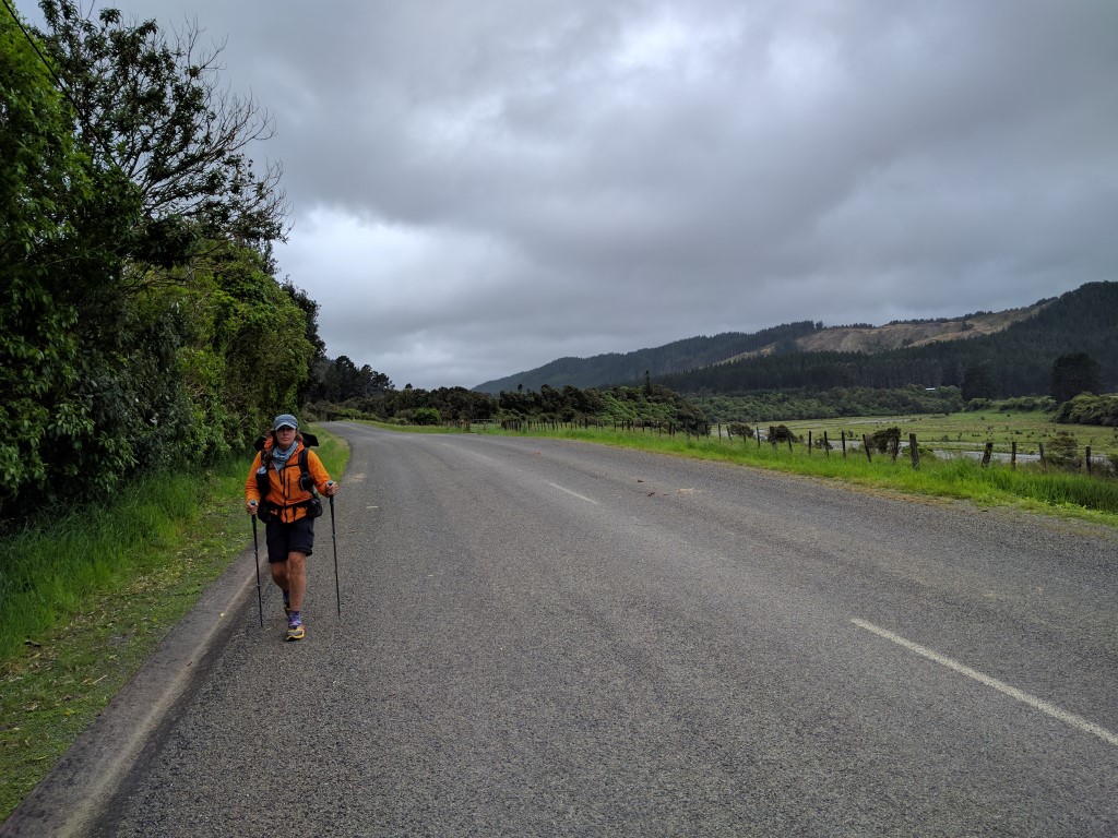
The plan today was simple - get to Poads Rd behind Levin by sometime this afternoon - where Belinda's sister Julia would (with Franziska) come and pick us up for a planned rest day (Wednesday), before potentially starting the next Tararua section on Thursday. We ended up doing about 28km today according to the Suunto, a little more than suggested by the TA maps, but still less than yesterday which was our plan! The GPS track for the day is here. I was awake at about 0400 and at about 0430 heard the little pitter-patter of light raindrops on the tent! We eventually got ourselves up at 0530 and Belinda boiled up some water while I started packing up. We had sprinkles of showers right up to our departure at about 0640, so it was a wet tent pack-up unfortunately - although we knew we would be at home that night, so drying it out wouldn't be an issue. From here we were still on the original Burttons Track, hand benched by Jim Burtton all that time ago. It was not too bad a track but was not a flat walk by any means. This continued through bush for about 3km when we came out into more open land and, after about 5km, we eventually hit the end of Tokomaru Valley Rd. This is no longer a public road, but is used to access the local hydro dams among other things - it also passes right by the Tokomaru No3 Dam. We had 3.5km along this gravel road before we got to the start of the Mangahao-Makahika Track. About 50m before this track start a ute pulled up alongside us. It was a dam worker who was checking things, so we stopped and had a chat with him. He said there had been some rain on the other side of the track this morning (around 6mm in an hour) which might add to the already wet conditions! He told us they had already had 500mm of rain this November in the dam catchment (of a 3000mm normal annual rainfall!), so it had been a wet spring!! 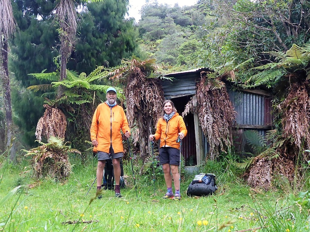 Packed up and ready to go at 0615 - Belinda is getting good at these long distance selfies!
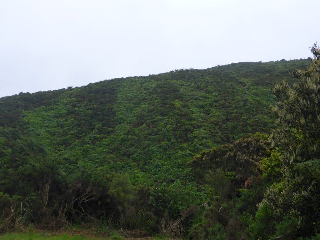
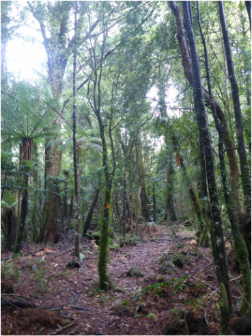
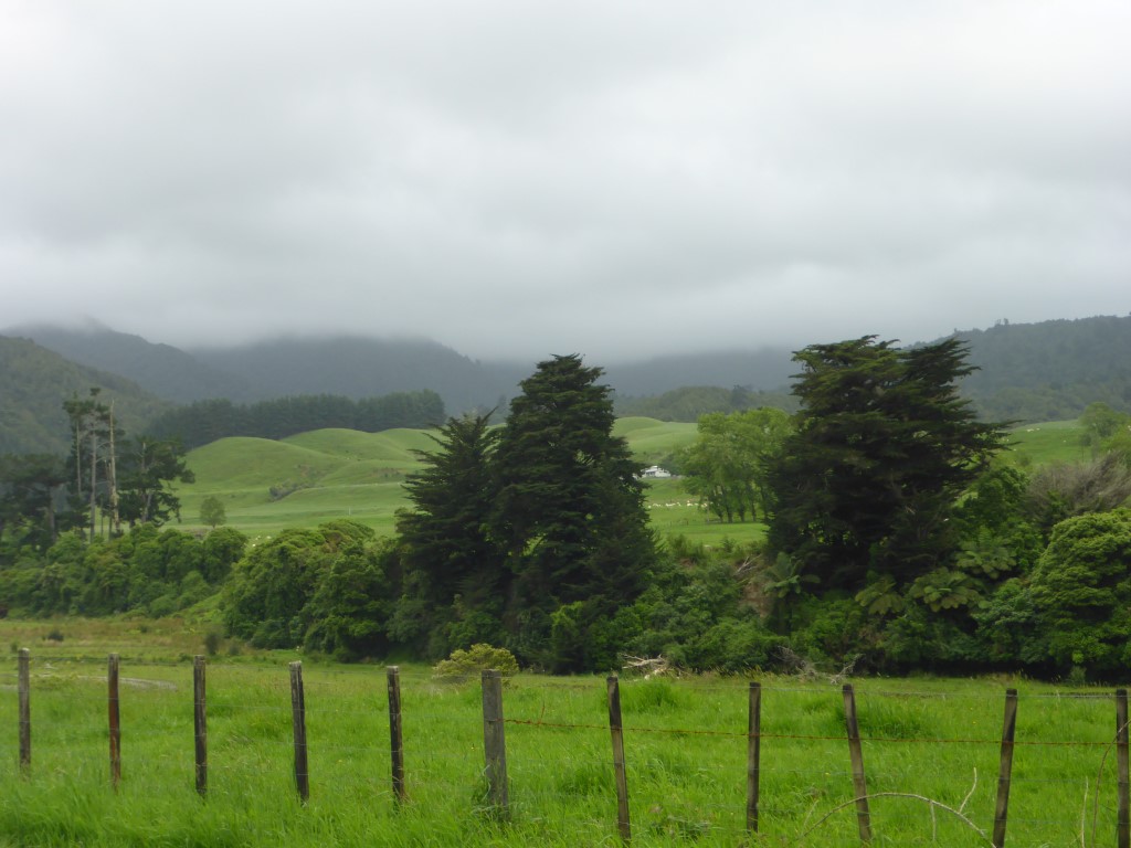
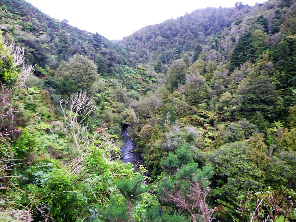 Some more of the scenery.
 Easy to spot the ridges and valleys - different vegetation/colour.
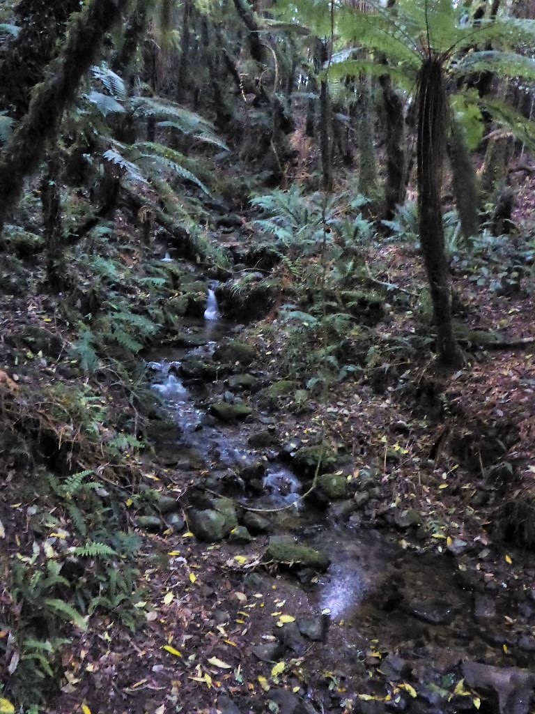
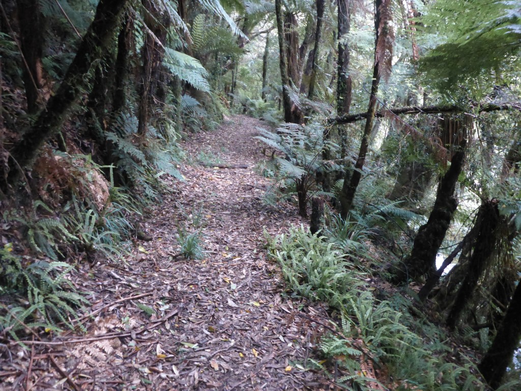
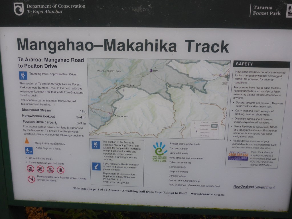
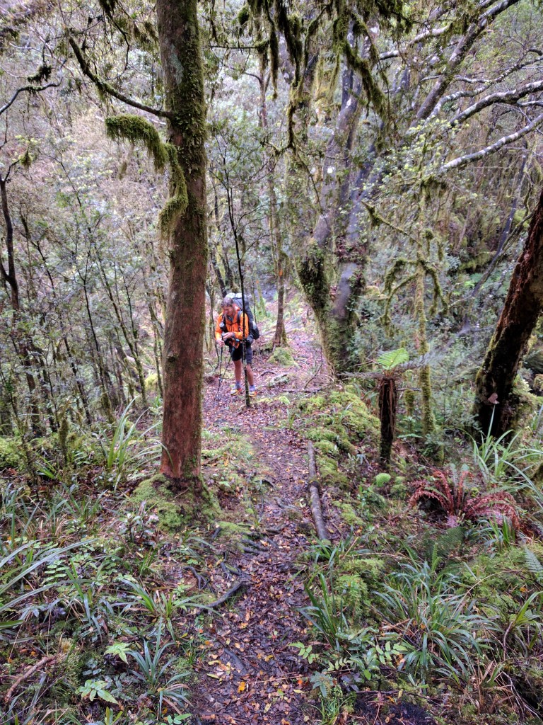
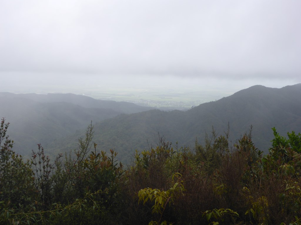
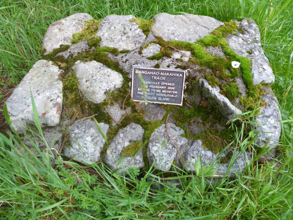
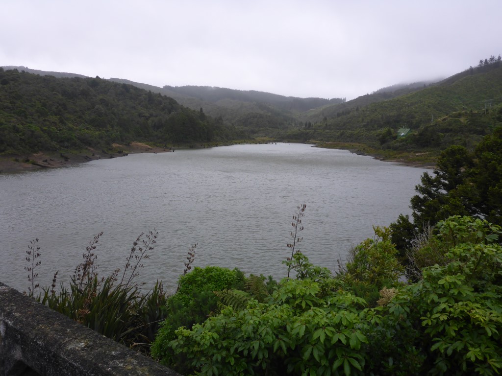 Storage lake. 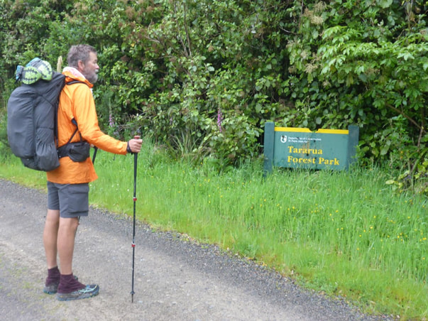 Starting into the northern end of the Tararua Forest Park. We stopped for a short break on the road at the start of the Mangahao-Makahika Track (about 8.6km into the day) and set off about 0915. It said 6-7hr to Poulton Dr - we ended up doing it in 6hr which, given the state of the track and me feeling a bit knackered, we were very happy with!! The track started with a slightly steeper uphill pinch for the first km (20 minutes or so) up to about 480m asl. After a small descent for the next km or so, it basically became a steady climb from about 420m up to the 680m high point over the next 2 hours. This was very much a tramping track standard, with plenty of tree roots and mud to contend with, as well as a few stream crossings - all through bush though. The high point is along the Makahika Ridge and, soon after starting to drop off this ridge toward the west, we reached the Horowhenua Lookout. The notes describe this as giving a "grand vista of Shannon, the Horowhenua and the Manawatu". After looking at a photo below, I'll let you make your own mind up about the view!! Suffice to say it was still very windy and much of the day was misty drizzle and quite cool at the higher altitudes, although not necessarily heavy enough to get rainskirts out (just rain jackets)! Soon after that it was the Kapiti viewpoint - with a similar result! The terrain started to flatten out a little here and we went back and forward across the Makahika Stream numerous times (we lost count but were later informed that there are a total of 34 stream crossings in this section!). We went from getting ankle deep in mud to being ankle deep in streams, which washed it all off again!! Rinse and repeat!!
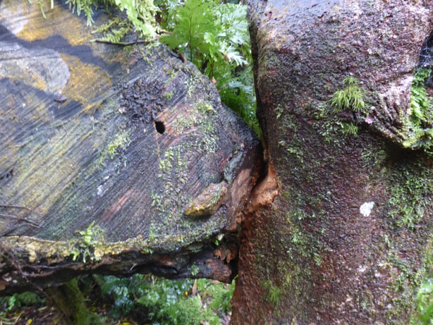 Live tree versus cut off trunk - been rubbing for some time!
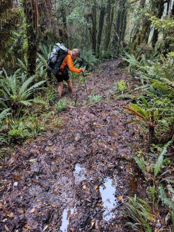
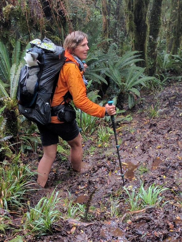 Close up of the mud patch - the pole is in about 300mm or so. Gets tiring after a while :-)
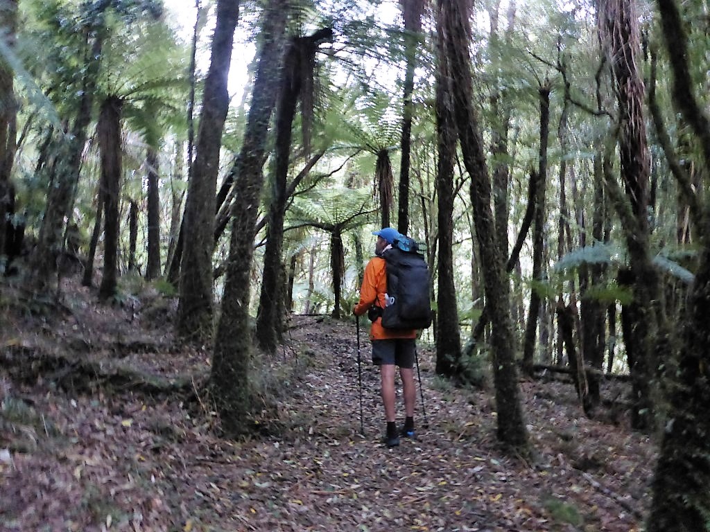
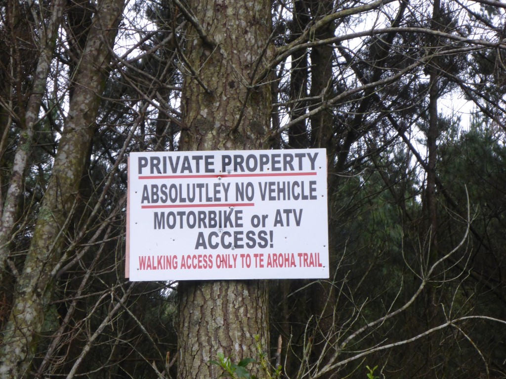
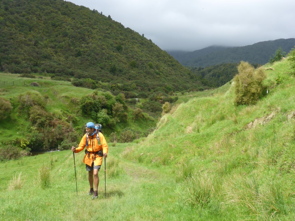
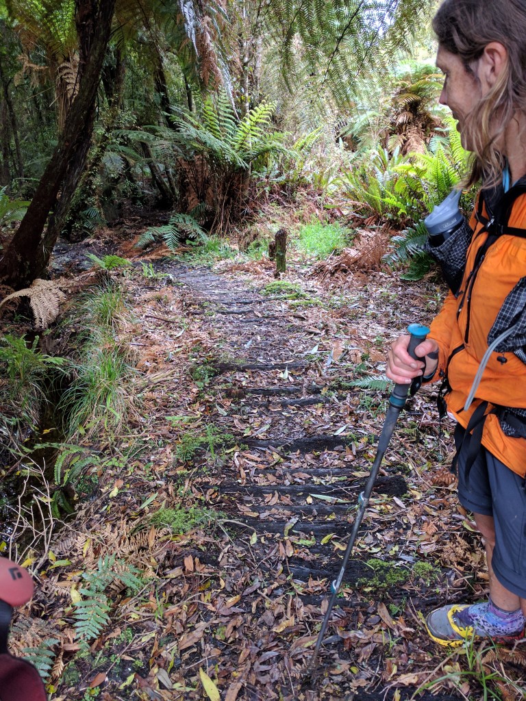 This is a boardwalk bush-style! Ponga logs serve the purpose of reducing the mud. After about 12 km of this track (about 20.5km for the day) we started to break out into more open areas of some grass interspersed with the bush. A couple of kms of this saw us at the boundary of the Tararua Forest Park, with one last crossing of the Makahika Stream, where the track crosses some private farmland before exiting onto Poulton Dr (at the end of Gladstone Rd). From here it was a 5km or so of gravel, then tarmac, road to the intersection of Poads Rd. About a km down Gladstone Rd, we came across the Makahika Outdoor Centre. This is well know on the TA Facebook groups as a great place to stay. Sally, who runs the place (and told us about the 34 stream crossings) with her husband, is very welcoming of TAers - even having them for Xmas dinner. We couldn't get cellphone reception to ring Julia so were at the gate considering going in to ask to use the phone when Sally bowled on out to invite us in!! She was more than happy for us to use the phone and invited us for a cuppa - we politely declined because of our pickup timing, but the offer was typical of the obvious hospitality TAers receive here!! She also chatted about the current conditions in the Tararua section of TA - one of their instructors had come across the day before in atrocious conditions (snow, 90kph winds, -10 wind chill), which gave us food for thought - although the weather is due to improve!! Another 45 minutes saw us at the Poads Rd intersection where Julia and Franziska turned up soon after to take us back home. The end of a fairly tiring two days of walking for we oldies!! We were happy to inform Franziska that she had clearly made the right decision to pull out when she did.
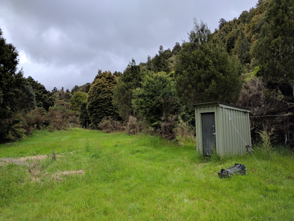 And right nearby was a handy toilet in the clearing
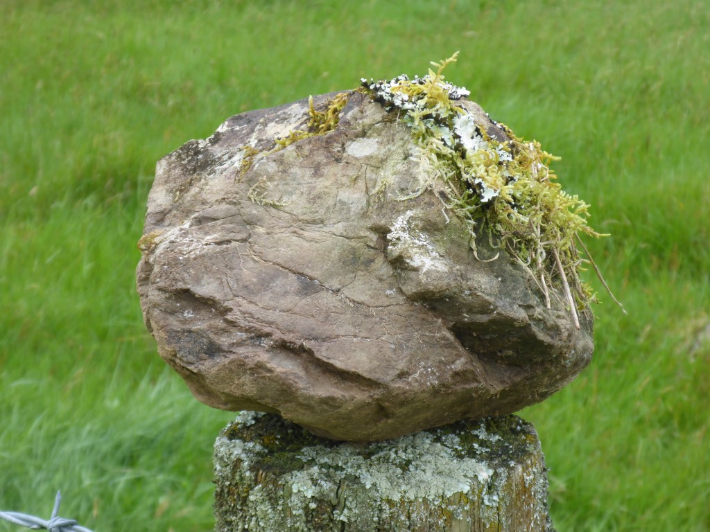 Alongside the track on a fencepost someone had placed this rock. Looked exactly like Kermit the frog from the right angle!
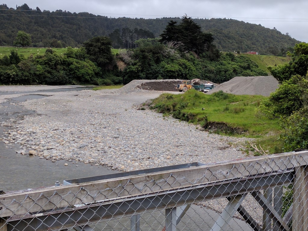 Quarrying operation on the Ohau River - taken from the Poads Rd bridge. After a discussion tonight at home, we decided that we would put off doing the Tararua section for now. The weather wasn't too bad probably but we were also pretty tired after the last 3 weeks of walking and a short break would be beneficial, especially given the last stretch is pretty hard work. We have even considered leaving those last 48km until after we have done the South Island - which would make Otaki Forks the end point of our 3000km TA journey, also allowing for a celebration at home!!! Something to think about anyway!
0 Comments
Leave a Reply. |

AuthorBelinda and Anthony (aka Tony) Hadfield made a decision, in their late 50's, to do something a "bit different" and walk New Zealand's 3000km Te Araroa Trail over summer 2015/16 - although updates will now tell you that this plan will take longer now!!. As the old saying goes - "don't leave home 'til you've seen the country"!! Archives
January 2018
Categories |

 RSS Feed