|
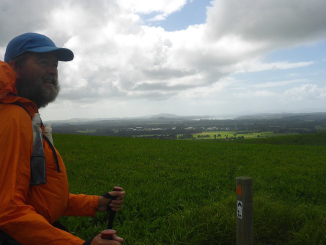
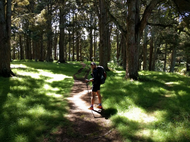
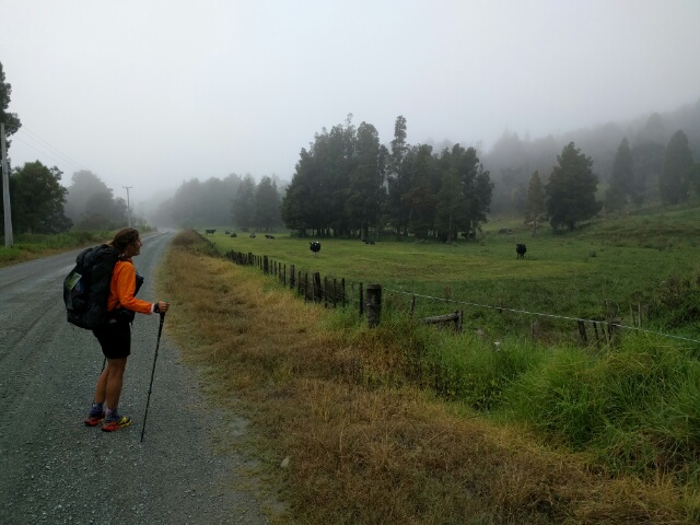
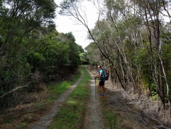
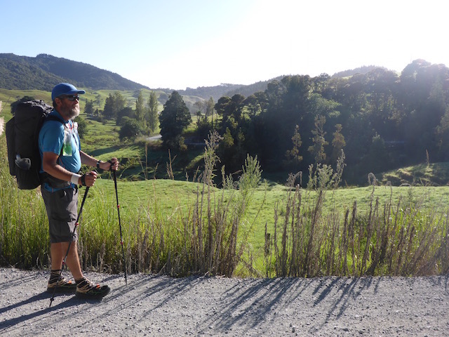
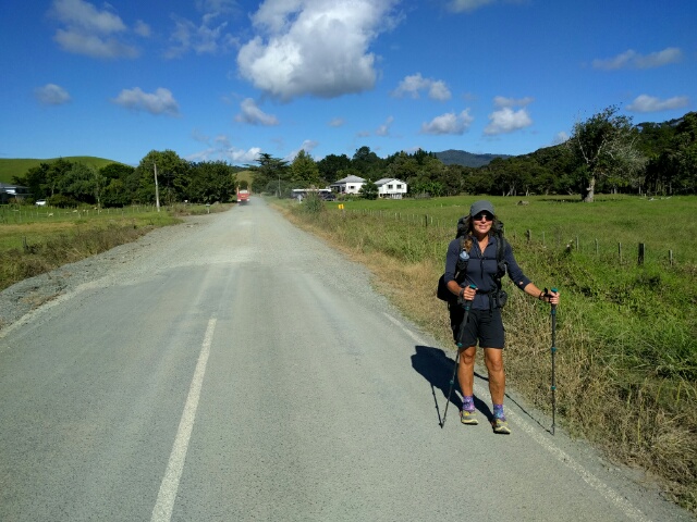
We left at 0730, just after sunrise, as the suggested time for today was 8 hours and we wanted to get to Kerikeri in time to try and hitch to Opua for the night. While TA said the journey was 24km, the Suunto calculated over 25km - gps track is here. The hike today looked to be a mixture of roads, Landcorp farm, and riverside walking - with not many hills (yahoo!) so we weren't expecting a tough day.
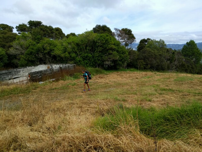
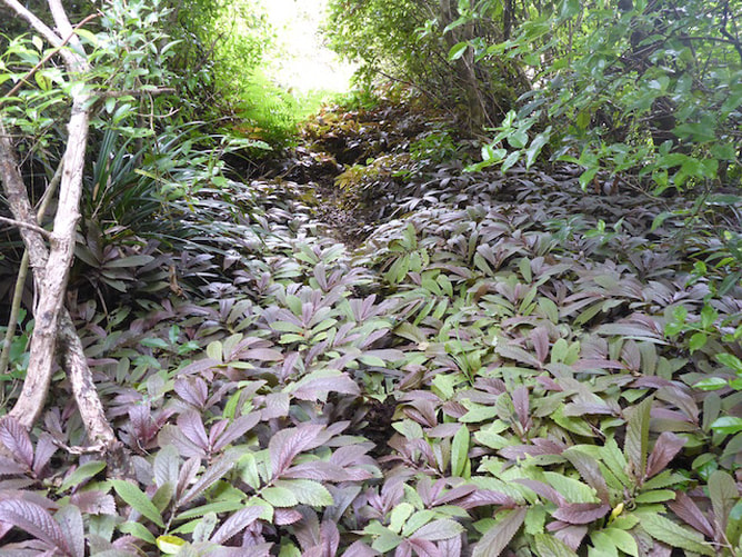
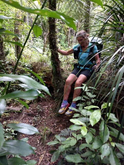
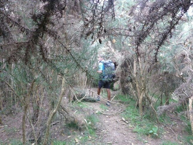
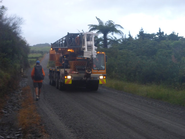
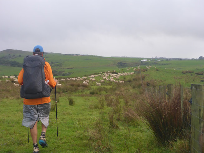
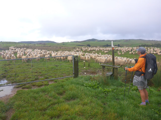
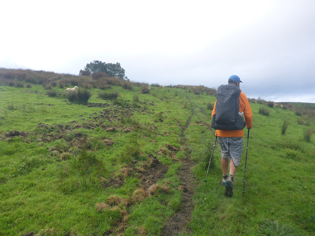
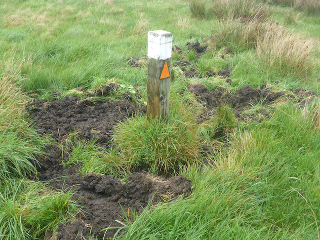
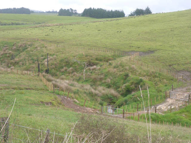
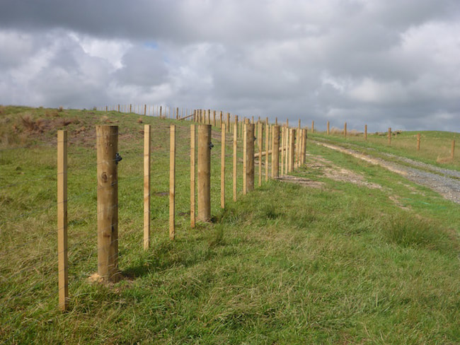
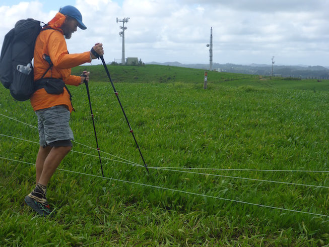
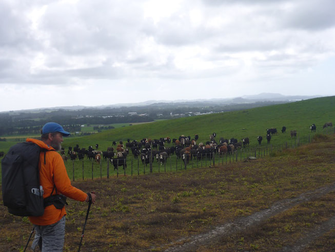
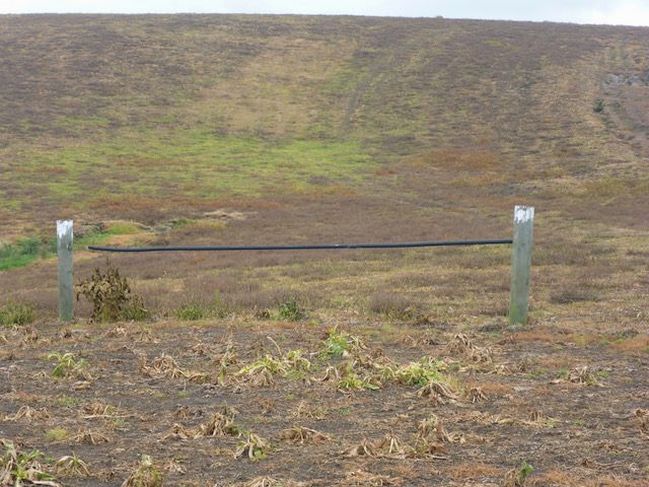
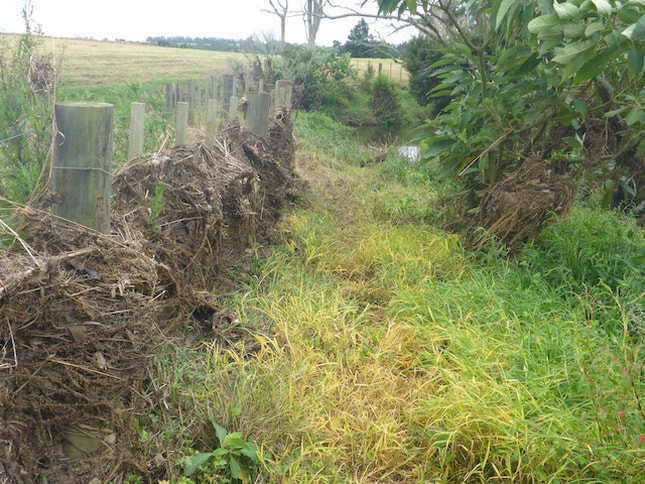
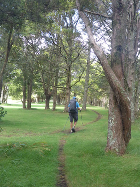
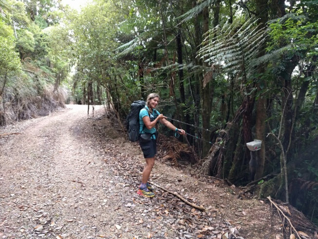
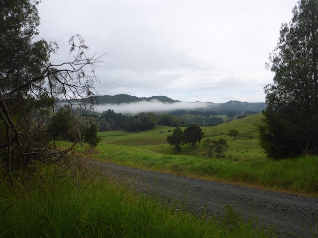
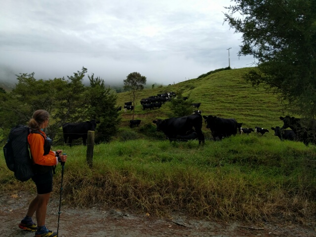
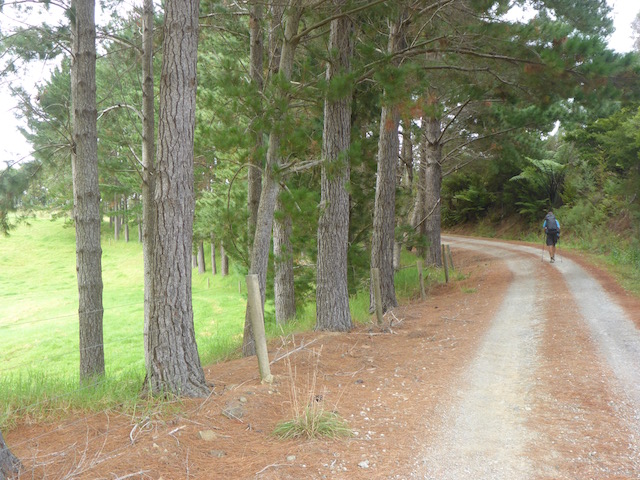
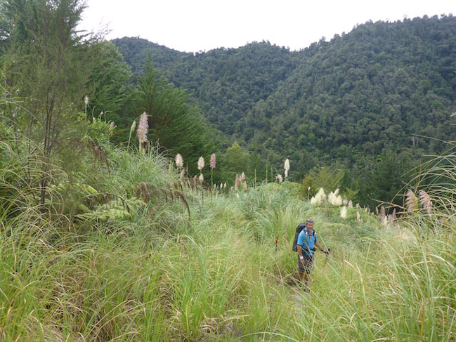
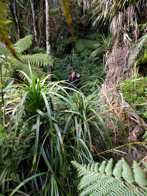
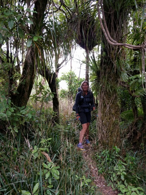
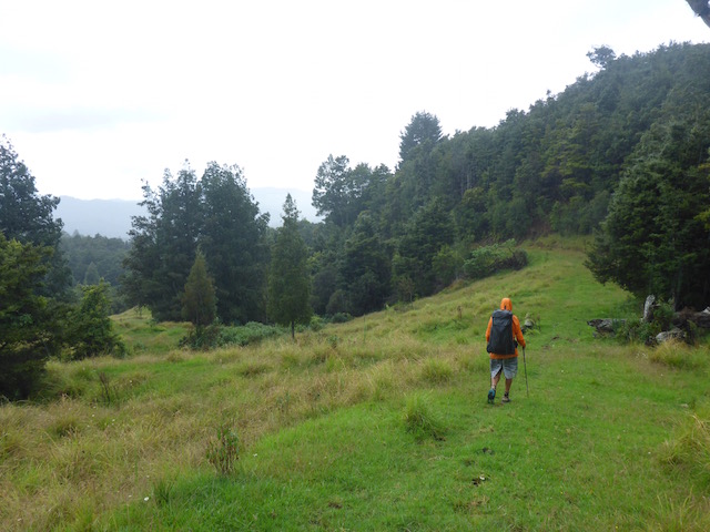
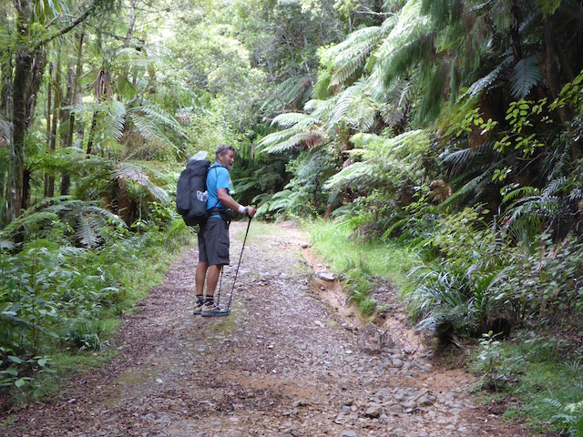
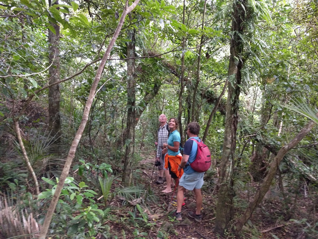
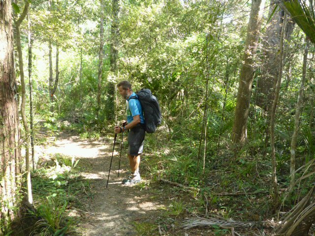
The day started with a 3km gravel road walk to get to the first section of Landcorp farm. It was nice to be crossing some farmland where things were clearly very well run and money was being spent - including races for us to walk in in places. These included an electric wire - nominally to keep the cattle from sticking there heads through, but maybe also to encourage walkers to keep in their lanes??!! We were walking across paddocks, including with stock in them. Many of the paddocks were in alternative species such as hickory, or remnants of feed crops (chou, or at least some form of brassica). It was surprisingly hard to spot the next orange marker at times and I took to wearing the binoculars under my raincoat for constant checks as to the next direction to take!
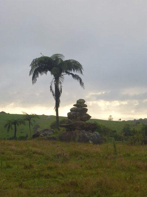
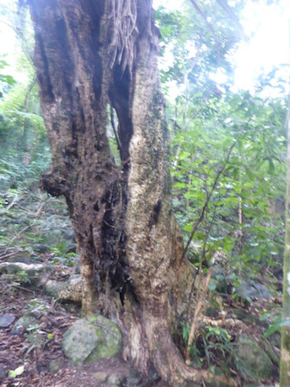
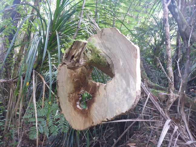
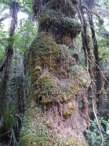
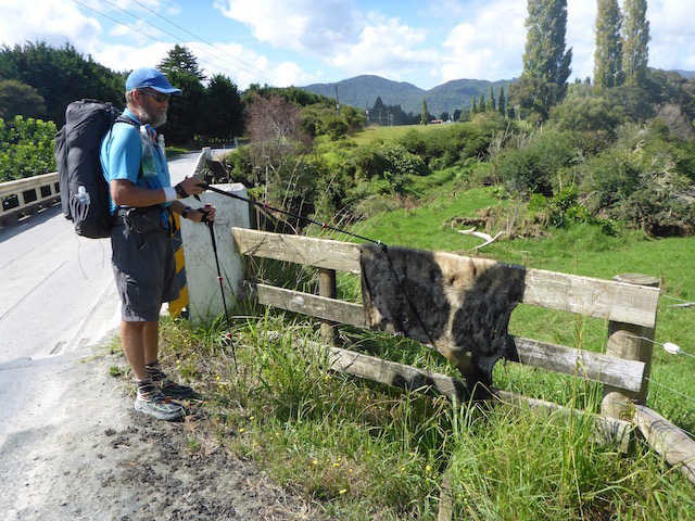
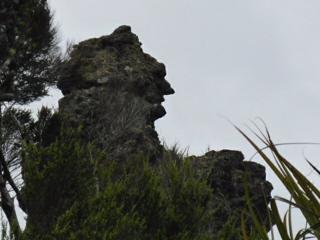
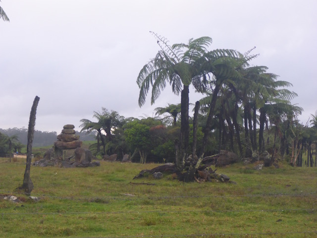 With some inserting rock "art"? It is for sale if anyone is interested.
 Landcorp worker's version of rock art!! Out of this stretch of farm, it was onto another gravel road for 5km. Yet again, a nice lady stopped and asked us if we wanted a ride to the next part of the farm track - apparently we weren't the first to politely decline the kind offer!! I'm sure she will find someone to take her up on the offer sometime!
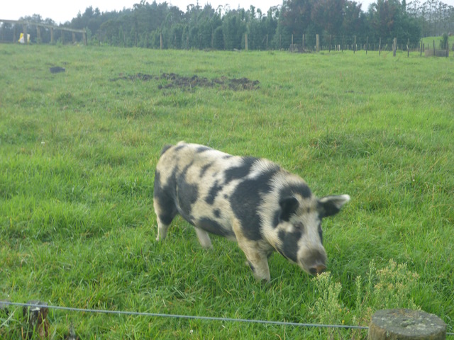
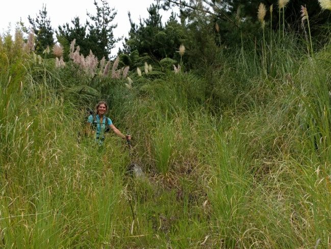
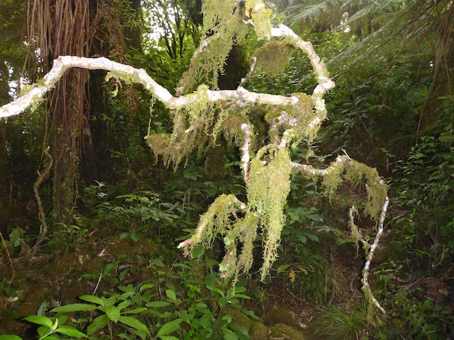
 Entering the second section of Landcorp farm. Back into the Landcorp farm and it was more of the same - as described in the first bit. Towards the end we dropped down a hill (eaten out brassica crop, with lots of pig rooting in evidence) into a short stretch of scrubby bush to get us onto the walk alongside the Maungaparerua Stream.
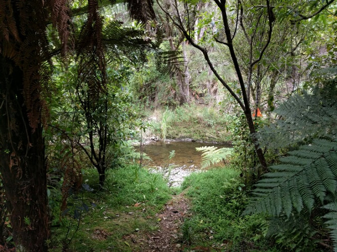
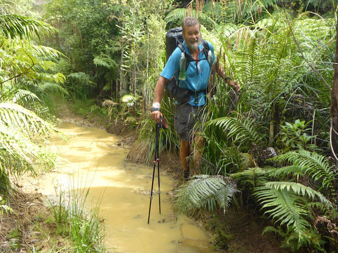
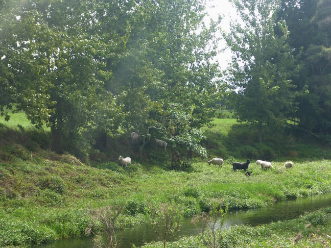
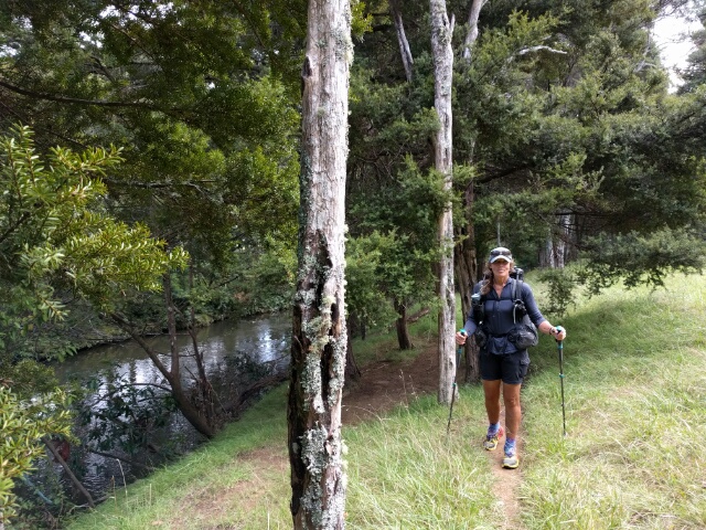
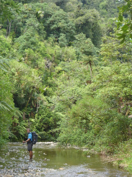
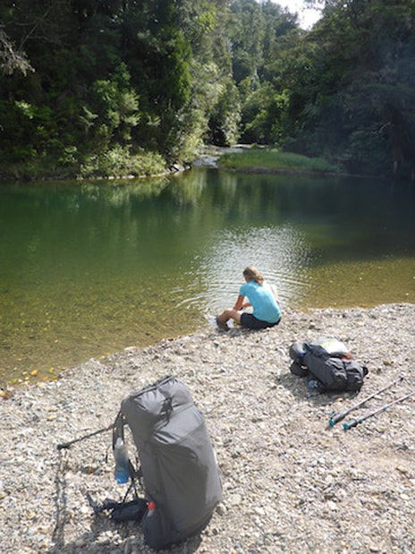
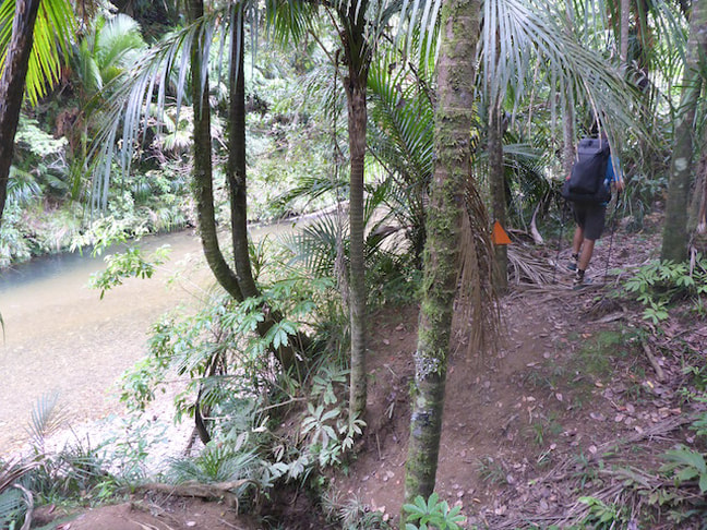
 Looking back up from the scrub - note all the pig rooting again in the foreground! Must be lots of pork roasts being had for dinner in the region!! We followed this Maungaparerua Stream for about 1.5km before it met with the Kerikeri River (which we basically followed all the way to the Stone Store).
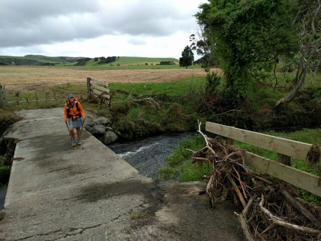
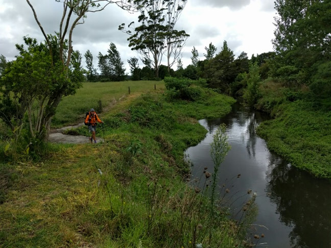
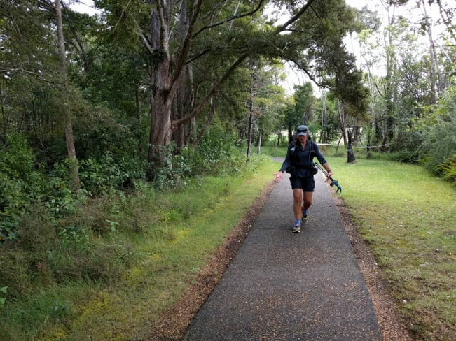
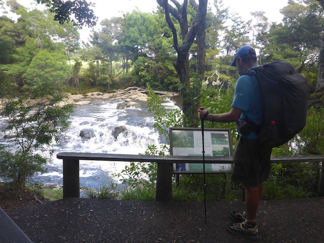
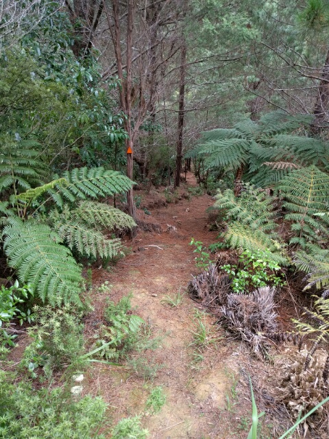
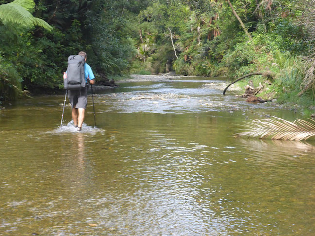
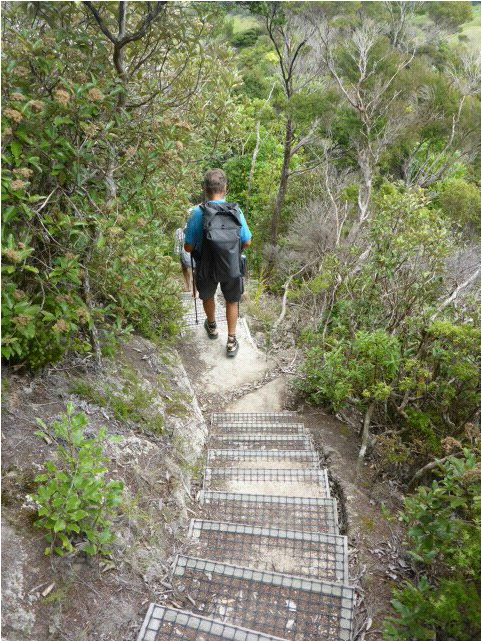
Once on the Kerikeri River we eventually walked across a swing bridge and under SH10 following a roughish riverside track for a while - before it turned into a much nicer mown riverside track.
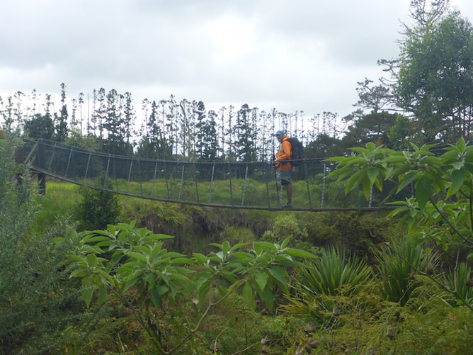 And over the swingbridge!
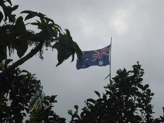 I found another flag for B's collection. Turns out it wasn't either of ours!!
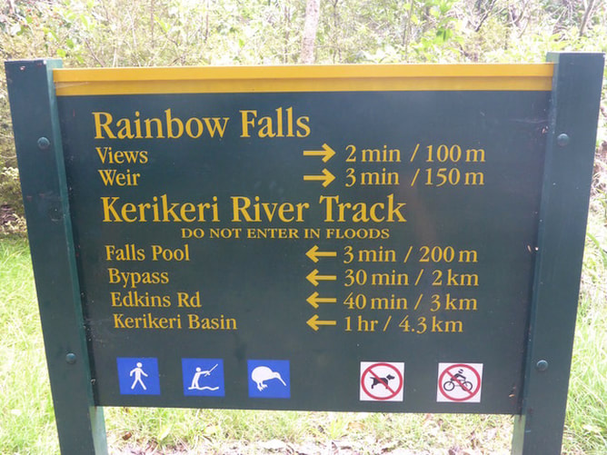
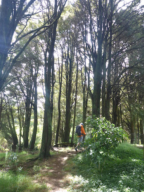
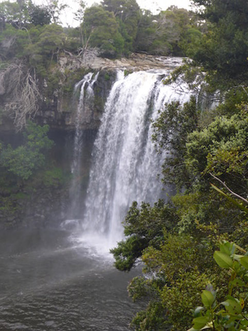
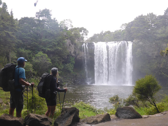
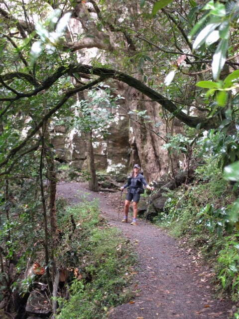
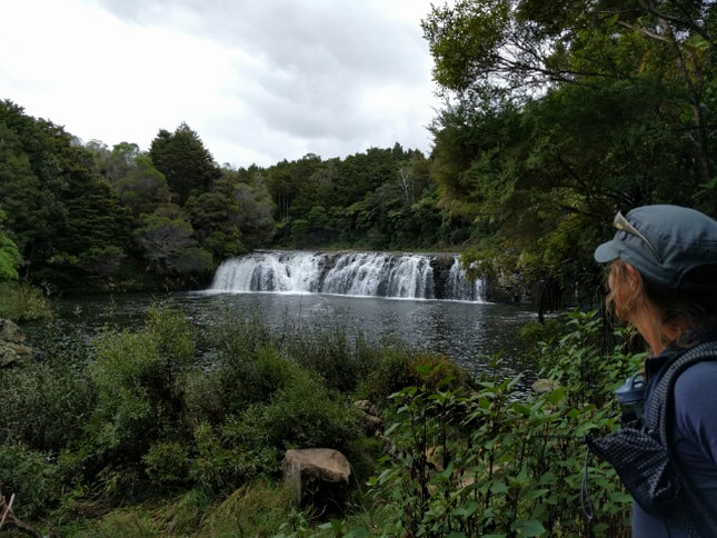
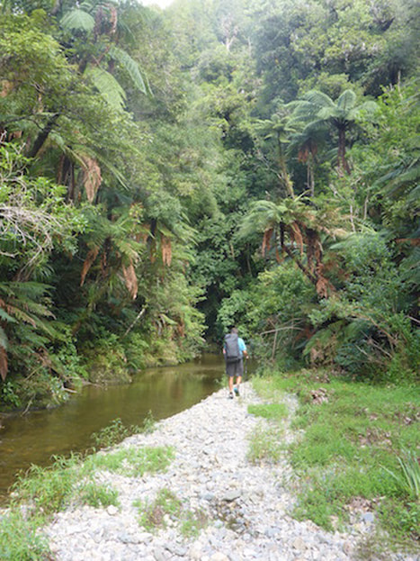
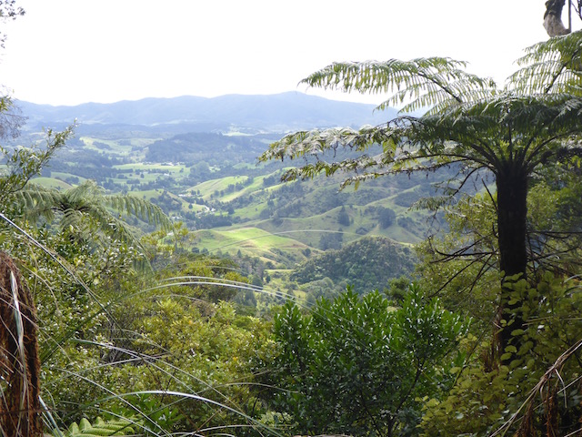
After about 3km of this, we were onto the Kerikeri River Track itself for the last 6.5km. This is a lovely bush track, well formed, that takes you past, among other things the 27m high Rainbow Falls.
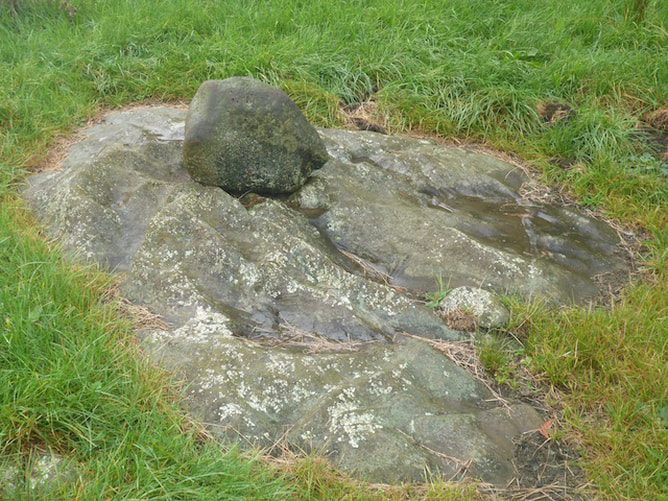
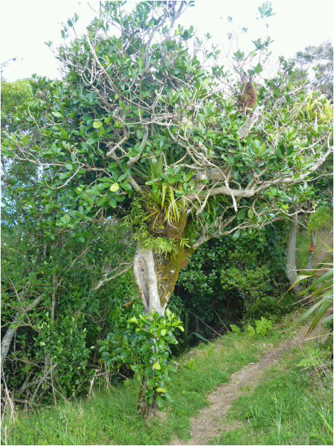
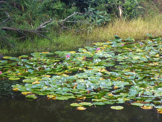 Jean - Belinda thought you might enjoy this lilly pond :-)
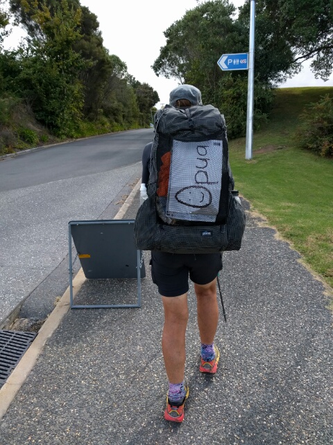
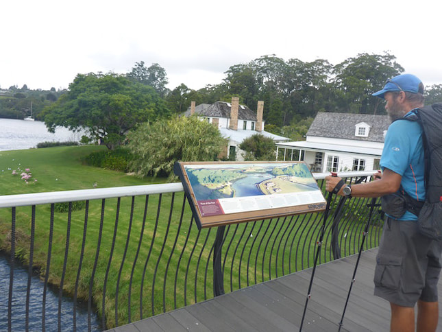
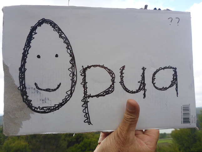
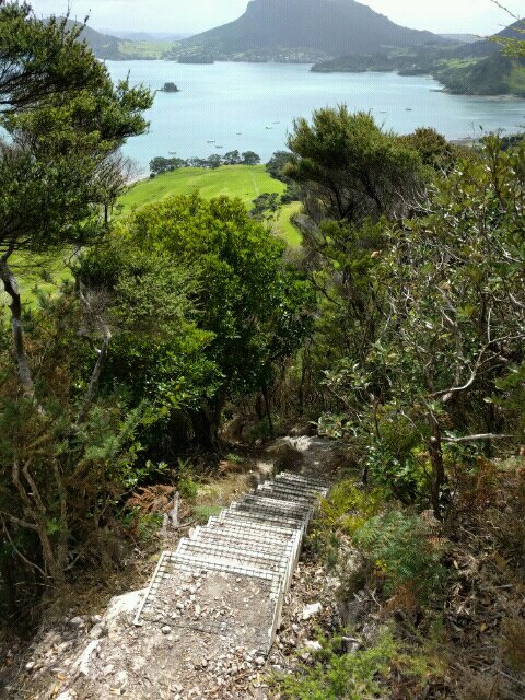
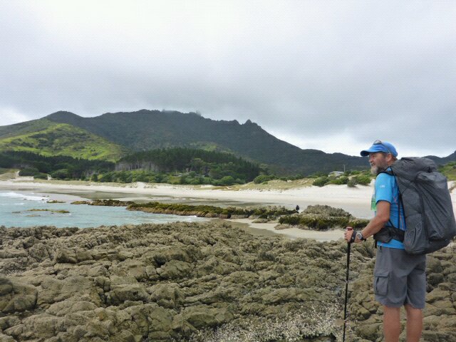
It eventually pops out across from Kemp House / Stone Store, where you take the newish footbridge across the river. We worked our way across to the Stone Store where we had a quiet celebration at having finished the Cape Reinga to Auckland Central section (officially 595km for TA, but more in actuality). Belinda celebrated by buying some sweets for us at the Stone Store. The lady in the shop also gave her a chunk of cardboard and lent a marker pen for her to make up an "Opua" sign for our hitching attempt!!
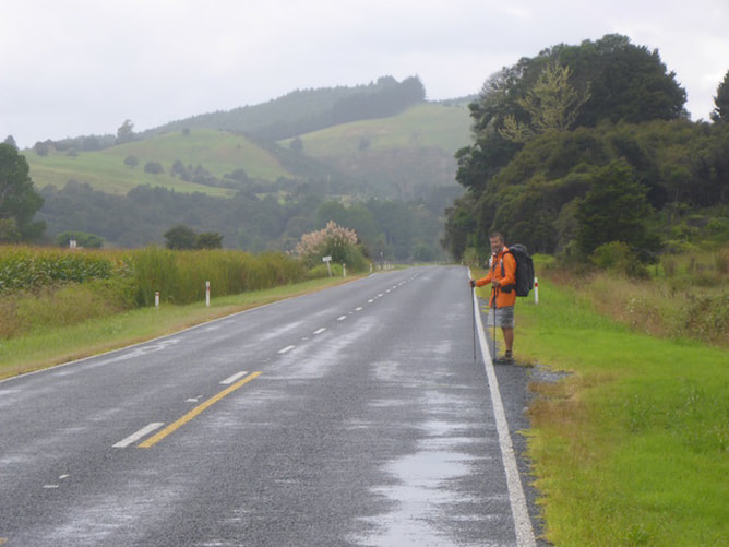
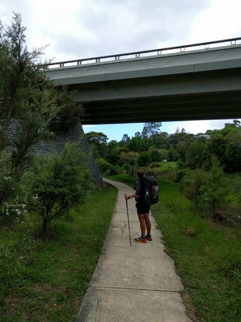
 On the steps of the Stone Store - the end of this section for us!!! :-) Eventually we set off up the hill to the township (very hard to hitch up here as the path is on the wrong side of the road. We stopped in town for some McD fries and some diet coke before heading out to the west side of town to put out the sign. Of course, quite a few cars drove on past but, in less than five minutes after setting up on the side of the road, a nice young (in his 30s anyway!!) chap stopped and said he was going to Paihia. Logan was originally going to be boating but, because of the weather, decided to work for the day - lucky for us!! Once we were at Paihia he offered to take the extra few kms to Oromahoe Rd, so we only had the familiar km or so up the road to Andrew and Ria's. We knew neither of them was home today so we made ourselves at home (thanks guys!) in our "home away from home".
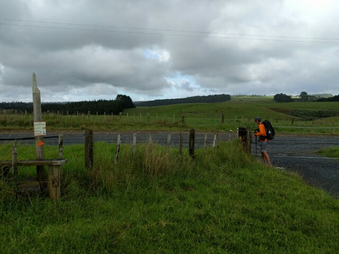
 Not in use yet - just walking the 2km or so up the hill to town first. While there is still a long way to go, it was a nice feeling to have knocked a decent chunk of the TA off! Now we'll see how far south we make it before the weather or our bodies decide that its the end of this season for us.
2 Comments
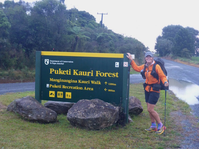
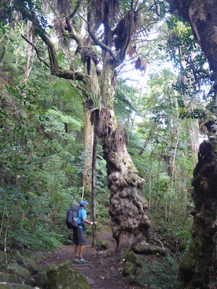
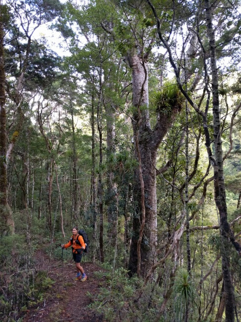
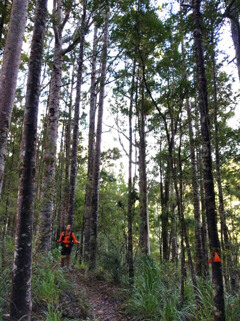
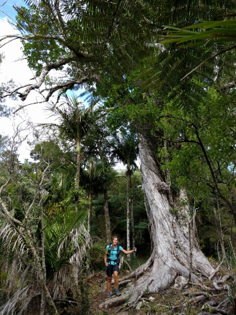
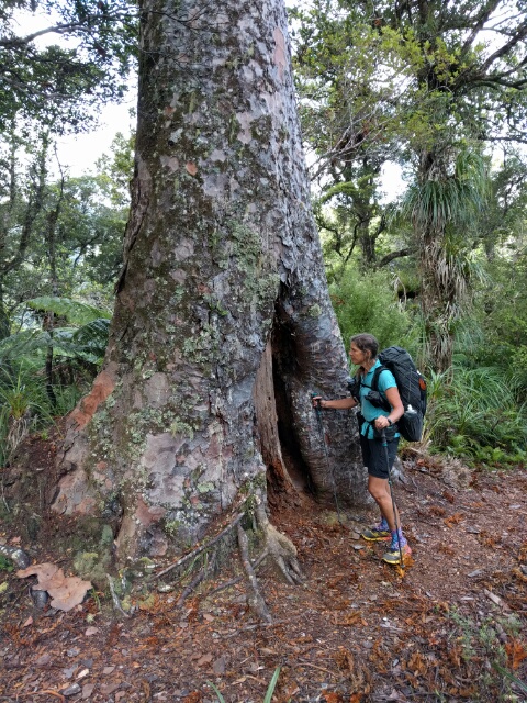
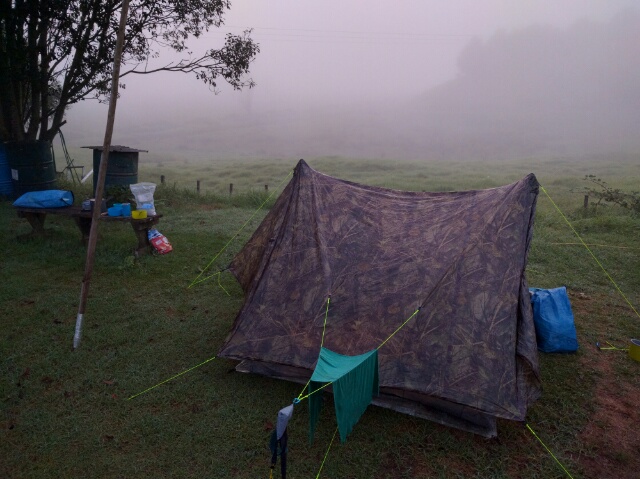
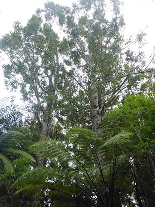
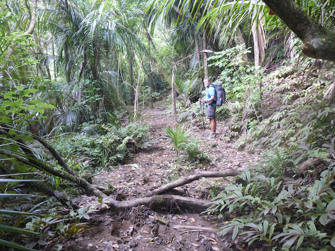
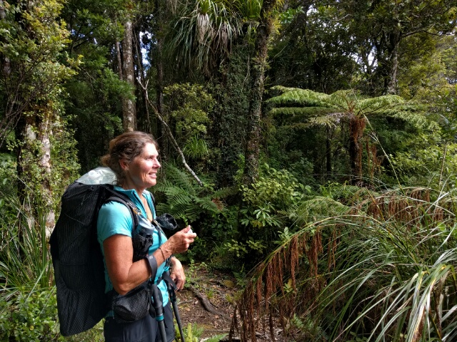
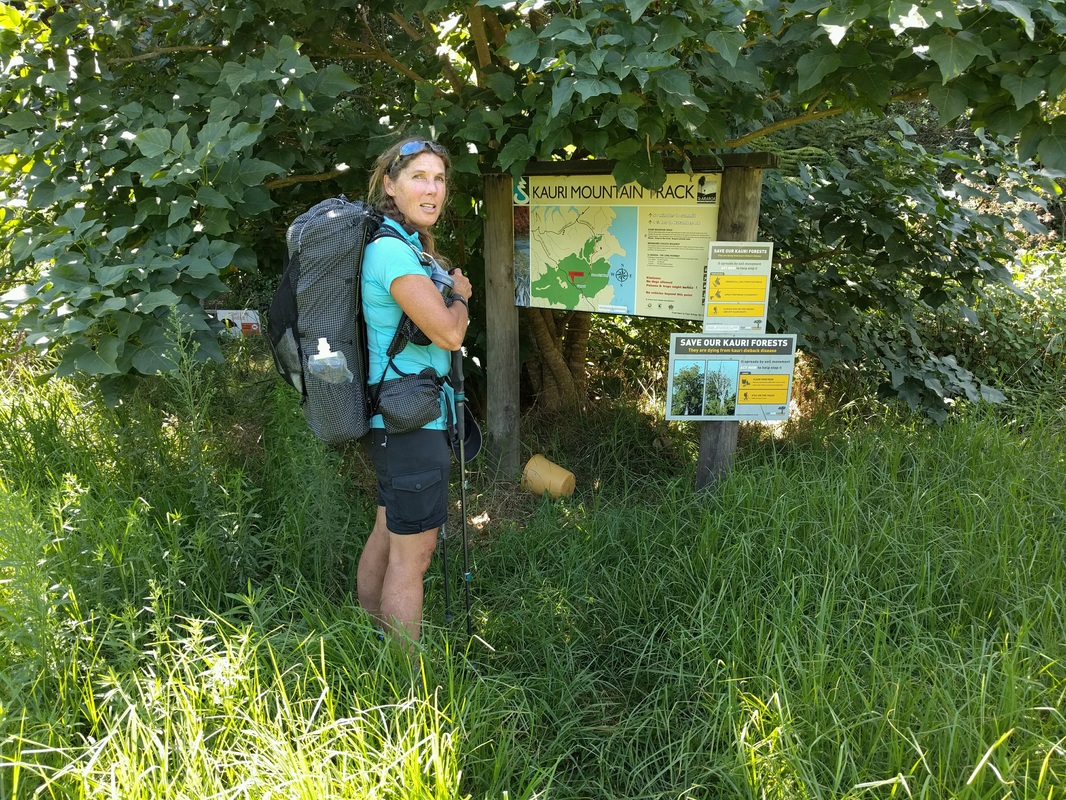
Today's gps track is here. We settled for a shorter day today, ending up doing around 14km - a wise idea after a couple of harder days! We didn't get underway until about 0900 as we were not in a huge rush today. We started with a climb through forest with significant numbers of kauri of reasonable size - lots in the 600-1000mm diameter range I guess. Not huge, but well established to grow for the next few hundred years!
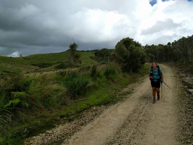
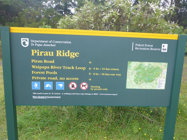
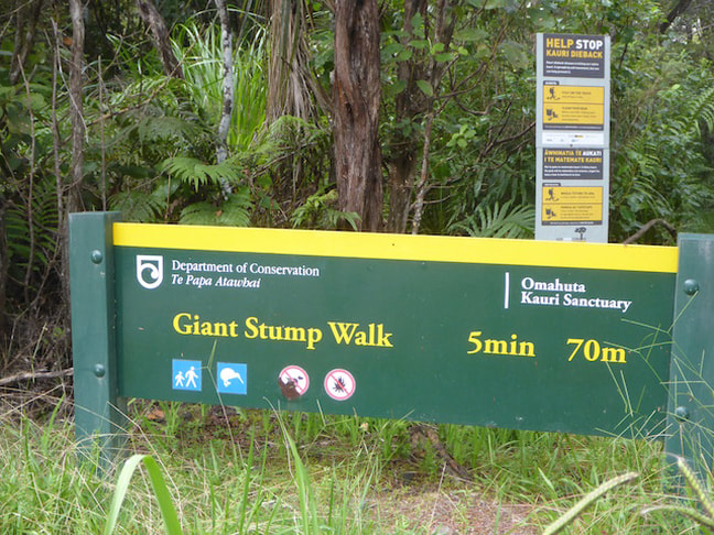
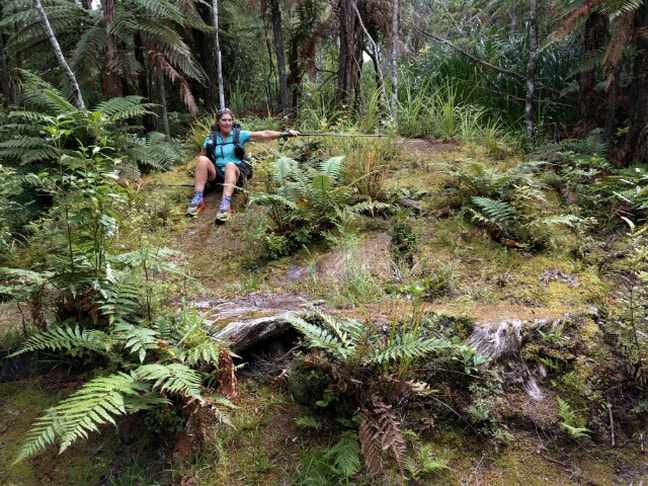
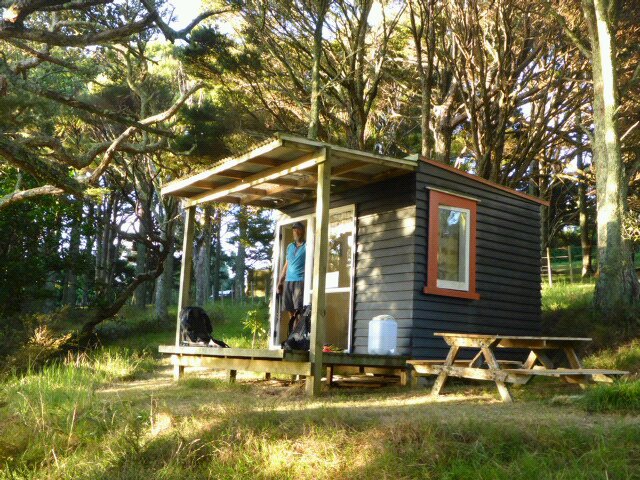
The tramping standard track continued up for around 3.5km before we emerged onto Pirau Ridge Rd - a 4WD track that was easier going. From here it was a relatively easy 9km walk to the Puketi Forest HQ campsite. We got enough reception to use the phone to book spots in the hut at the campsite, rather than tenting. There was heavier rain due later in the day and overnight so this might give us a chance to keep our gear a little drier!! We were still counting possums until about a couple of kms before the Forest HQ, when we popped out of the Puketi Forest itself. As noted in the previous blog, we settled on number 41 before leaving the forest!!
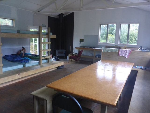
We arrived at the campsite about 1500 and let ourselves into the hut with the door combination. It was an 18 bunk hut and had all the mod cons - fire, gas stove, kettle and toaster included!! The camp also had toilets and a cold shower. We did have a couple of foreigners coming up at different times asking if the were able to just stay in the hut. We told them about the booking system - anyway, the net result was that we were the only two in the hut overnight. Very nice listening to the rain pouring down and feeling smug about being under a real roof :-).
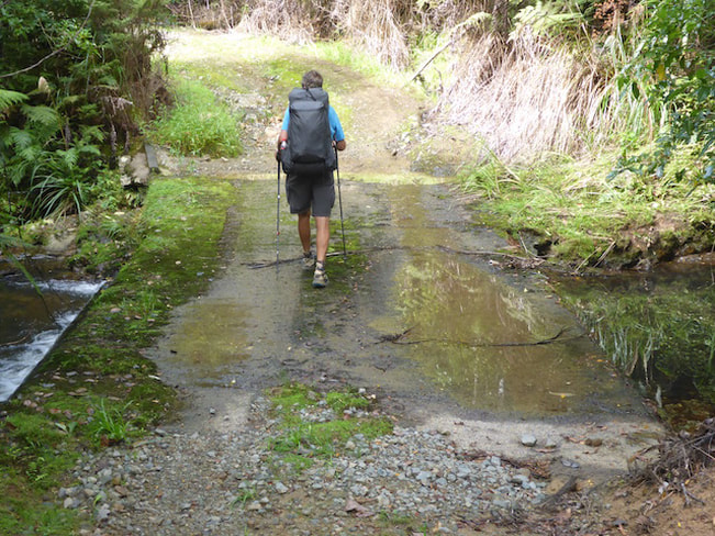
Today's gps track is here. Over 26km today - part road and part Omahuta Forest, ending up bush camping pretty much at the start of the Puketi forest. Got underway about 0850 today after hanging around to do another morning "treat" shop! I took the opportunity to have a steak and egg pie for breakfast instead of the usual boring old muesli - great fuel for the day! It was pretty misty this morning when we set off, with only about 500m of SH1 before we turned off east towards the Omahuta Forest.
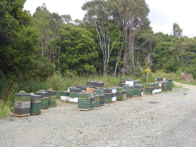
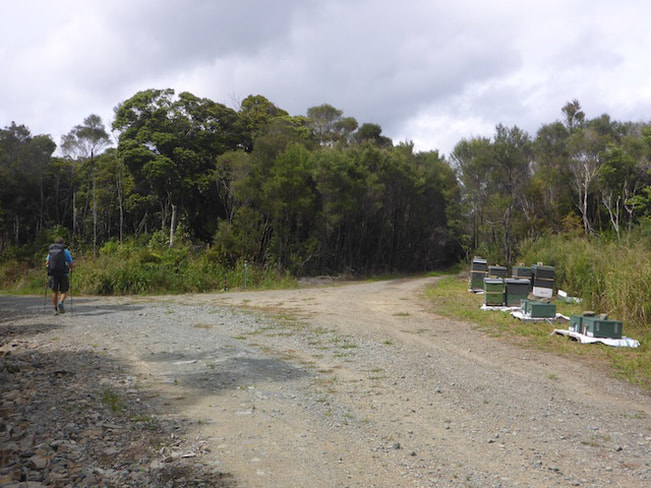
It was about 5.5km on gravel road up to Omahuta Forest Rd, which is an old forestry track. This continued uphill as a forestry track, involving two other "roads", for another 10km. This was a mixture of regenerating bush and some farmland. There were a lot of beehives along this track - often very close to the road - I was keen to give them as wide a berth as possible given that I only had some antihistamines to counter the effects of any stings!! We even passed an airstrip with a fertiliser bin at the top. For those that have seen the Taihape airstrip, this is similar in principle (steep downhill to take off), but without the big drop off into a gully at the end - exciting flying!!
 Fertiliser bin at top of airstrip which disappears down the hill to the right.  Airstrip head down steeply through the gap in the trees towards the valley below in background. Grass is a bit long for landing at the moment bro, in case you were wondering!
At the end of this track section, we dropped down into the Mangapukahukahu Stream. We had somehow expected it would be dropping down a bush-clad ridge. Instead it was mostly reasonably well graded through grass, toitoi etc until close to the bottom so quicker than expected. We really must read the trail notes in more detail - then we would have known what it was like!! No matter how many times we say it, we often slip up!
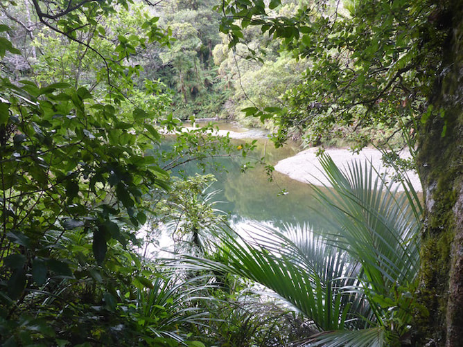
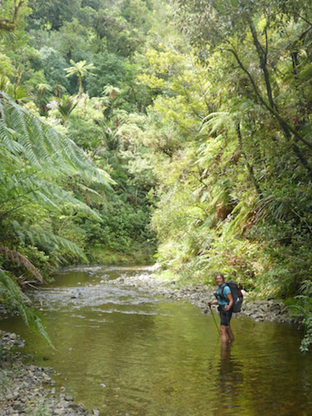
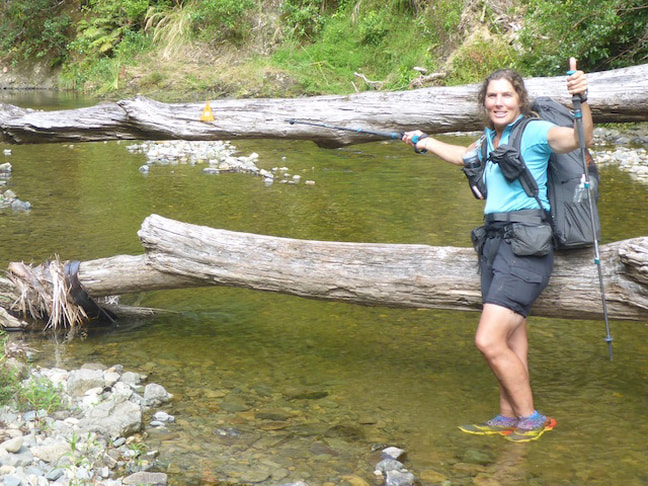
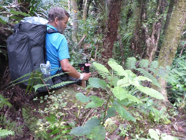
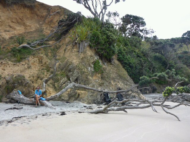
 Meeting the Mangapukahukahu Stream for the first time. Then it was on to one of the highlights of the day - a 2.5km or so (TA says 2.5, I reckon 3km at least!!) walk up the stream to where it joins with the Lower Waipapa River. This is a steep gorge walk and is not to be attempted when any heavy rain is lurking. Fortunately we were happy with the weather and the stream was a comfortable height - not dissimilar to the Waikare stream walk after leaving Opua. Its a great viewpoint walking up streams like this - although one downside is that it plays havoc with the innersoles on our shoes (mine in particular) when they are constantly wet - with mine occasionally bunching up in the shoe, requiring a sit down and adjustment. But a small price to pay ultimately :-)
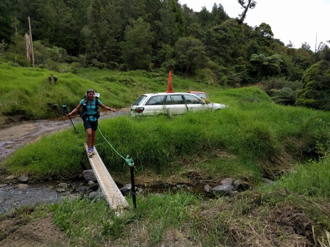
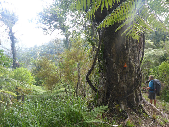
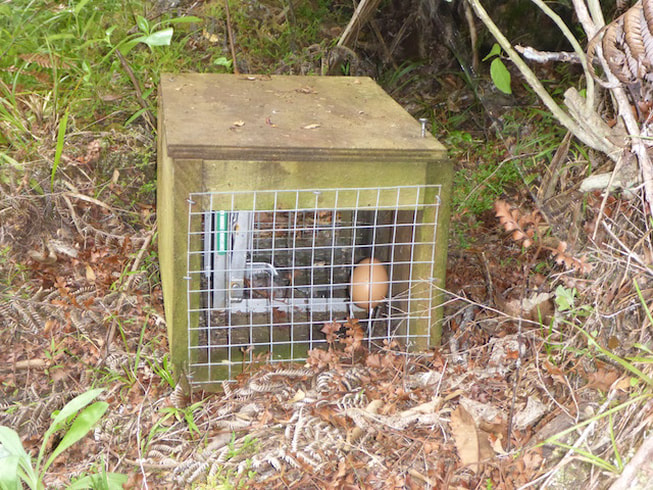
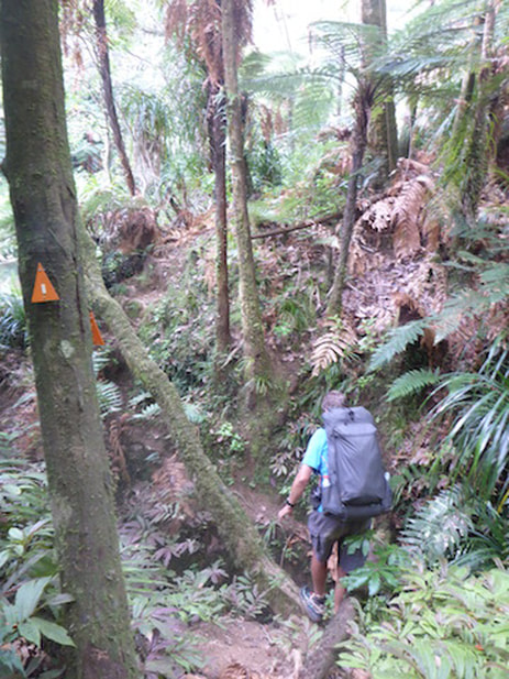
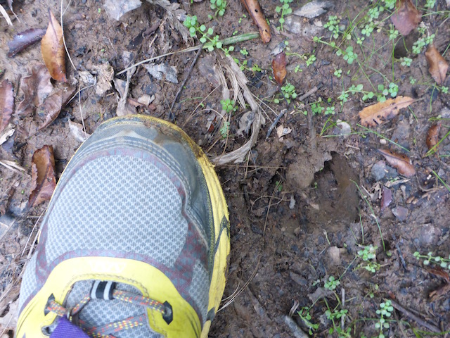
A very short duck along the bank saw us safely across the Lower Waipapa just south of the confluence (see photo above). Then it was a chance to empty out the sand from the shoes as this was the last bit of wet-feet walking for a while! Then it was up a steep muddy bank to follow the Lower Waipapa River Track for about 4km. This bit of track has caused some negative comments from some people as being potentially quite dangerous. It is a very rough, narrow "track" that sidles round alongside the river. In places it is very precarious, using trees and poles to keep you more or less upright. Again, the going was quite dry for us and, although challenging, I don't think we ever thought of it as a huge problem. I must stress, however, that I would likely have a different opinion if it was wet and muddy - this would greatly increase the difficulty level. We also saw the start of a trapping programme here that continued right through to the end of Puketi Forest, with both possum and rat/stoat traps at regular intervals - it would be a tough trap line to maintain in places!! By the time we exited Puketi the next day, we had counted 41 possums, in varying states of decay, hanging from traps - maybe time for DoC to be sending the contractors out to check the line.
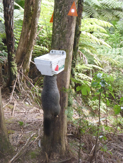 Came across number one possum just after heading up from the river on the Lower Waipapa River Track. Reasonably fresh this one!
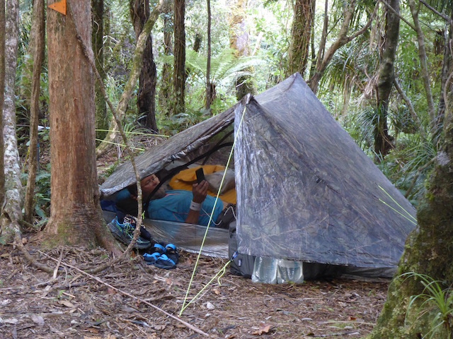
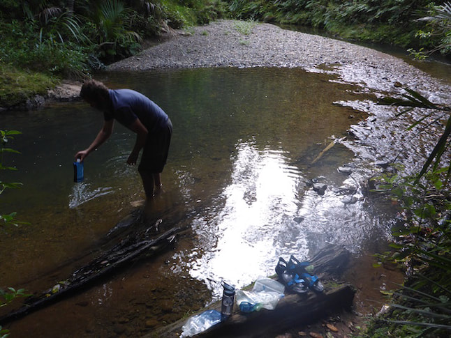
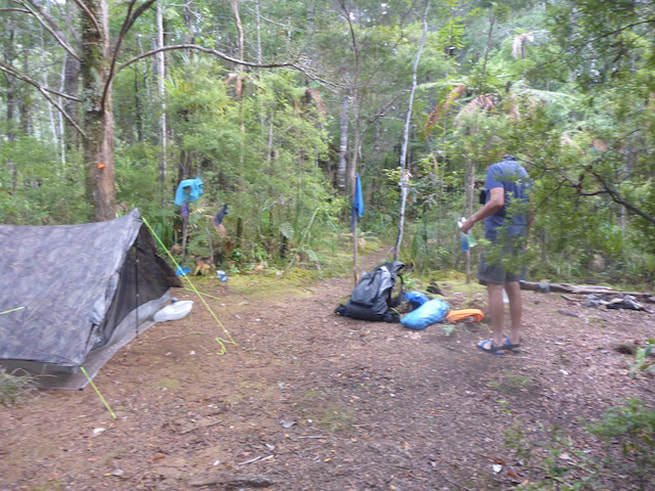
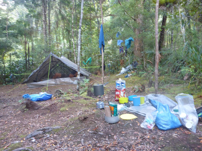
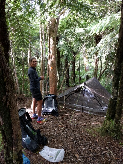
 Looking back down to the river from the track. After this 4km stretch, we ended up back on the bank of the river. The trail notes mentioned a small freedom camping spot about 30m up the hill from where the Pukatea Ridge Track (which we were to follow) left the river. We headed up and, sure enough, a lovely little spot in the bush to pitch the tent. We dropped our stuff there and headed back down to the river for a much needed wash (no photos!!). After setting up camp we went back down again to top up our water supplies for the night and next day. Then, inevitably, dinner and bed!! More bird calls again here to serenade us - we are both sure we heard kiwi, which was encouraging.
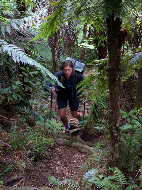
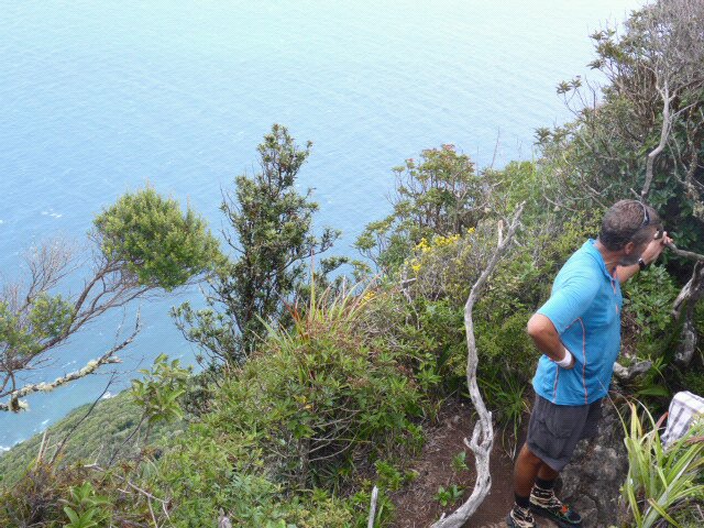
 Up early (headlamp on!) to get the hot water underway. We knew we had a lot of up and down today even though we were already over 500m elevation to start with. Turned out we ascended over 700m in total and descended almost 1200m by the end of the day. That 700m of up took around 3 hours. B is still better at the uphill stuff than me - it really pushes my skinny little legs - although I guess the muscles have to be building up!! Sometimes I find it hard to fully appreciate the natural beauty when the head is focussed a few metres in front and I'm willing the ground to flatten out, even if just for a short while!!
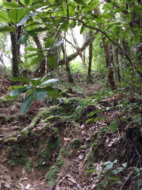
 As we have said before, photos never do justice to quite how steep parts of the track are.
 And sometimes the vegetation was not quite so high, but still covered the track.
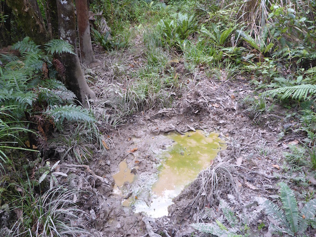
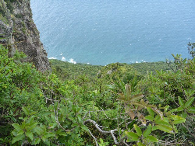
 This is probably the most famous mud puddle of Raetea! We just managed to skirt around it (me hanging onto fence). Earlier in the season people have been wading over knee deep through mud at this spot. This is dry for Raetea!!! This forest is really rugged and quite beautiful to walk through (a theme I mentioned in yesterday's blog), even though it is definitely challenging, and you have to be careful every step of the way. Again, its worth mentioning that we were very grateful being able to select our timing of this section a little so that we had less muddy tracks than many others earlier in the season. Even in these conditions, it was pretty slow going for us. A bit later on, it did start to rain, so we did don our wet weather gear - but the rain never got too heavy thankfully.
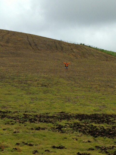
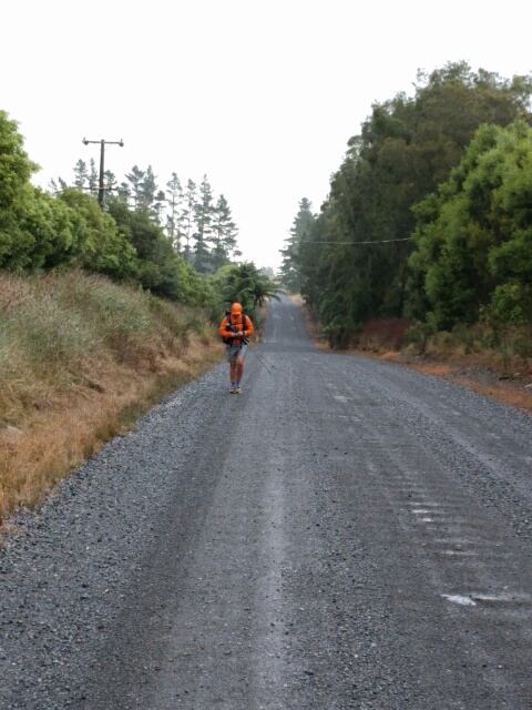
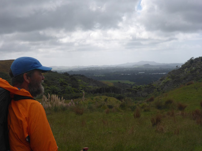
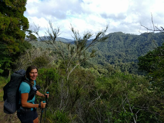
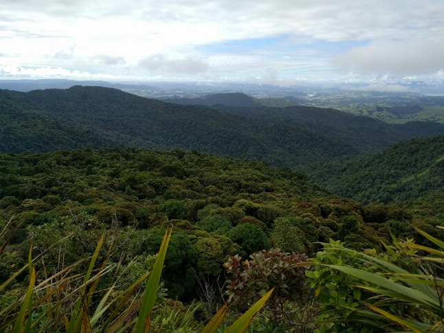
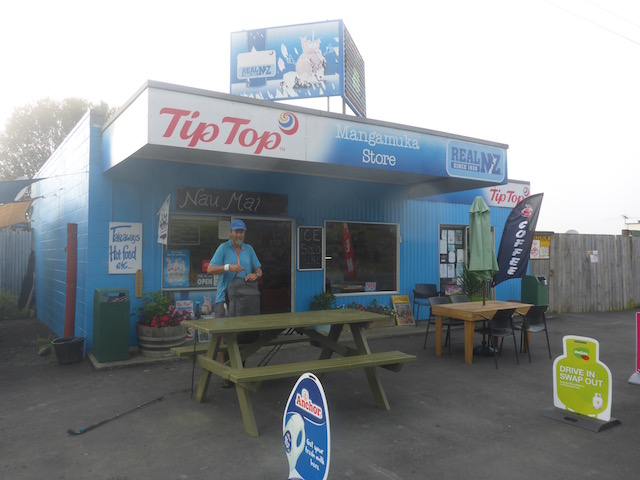
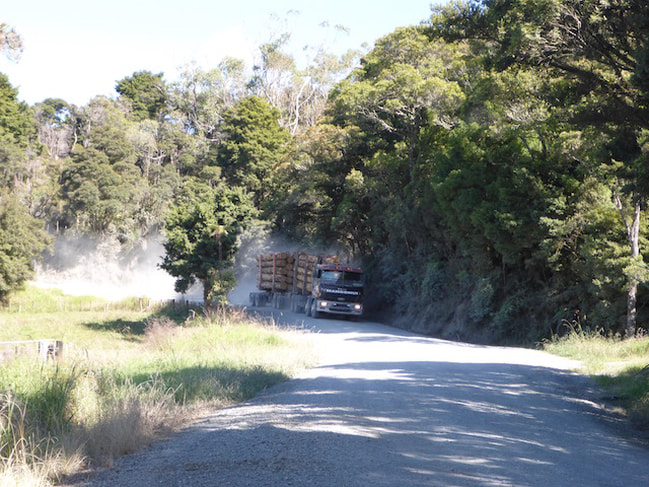
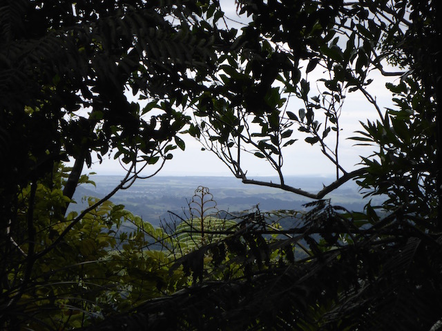
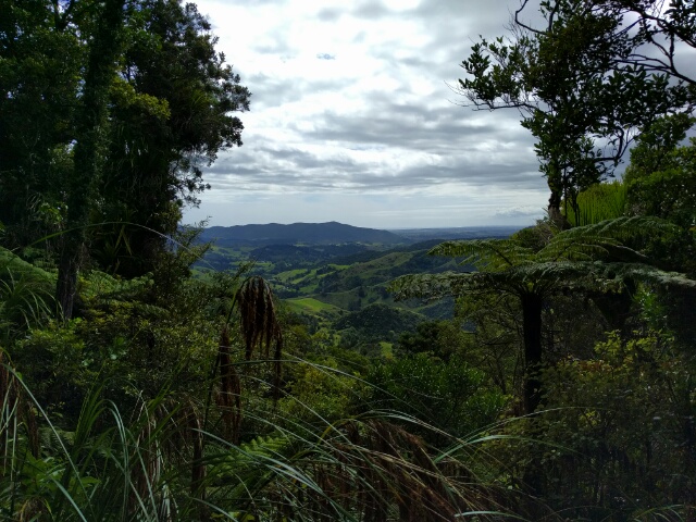
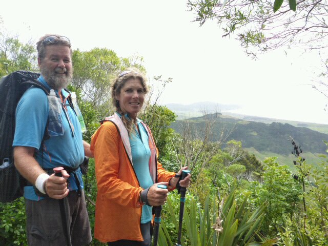
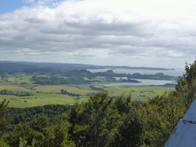
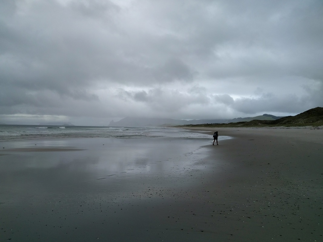
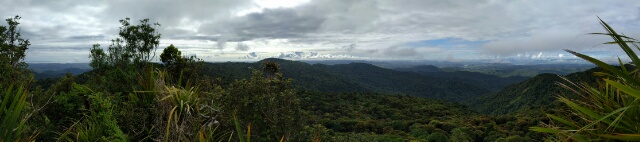 I think this panorama was looking generally north?! Most of the time was spent in the bush (as, although it was only 11km or so, it was, as mentioned, slow going) but eventually we emerged onto a 4WD track which led onto farmland. Here we almost got a bit lost as the markers were not entirely clear and they disagreed with the TA GPS track on our navigation app. Eventually we trusted our guts and the orange markers we could see (got out the binoculars to scout for markers!) and were happy that we were indeed on the right track. We came down through what looked like someone's back yard but is apparently part of Makene Rd. From here it was 1.5km down to meet up with SH1 (civilisation, relatively speaking!!) and then 6km walking down SH1 to Mangamuka. On Makene Rd, we rang the Mangamuka Dairy (as you do!!) to find out that there was no pub or cafe now at Mangamuka. However, Eliza, the lovely lady that runs the dairy, is getting into supporting the TA community and said we could pitch the tent on her back lawn. This made it easier to decide to press on the extra 6km down SH1 rather than pitch a tent on the side of the road.
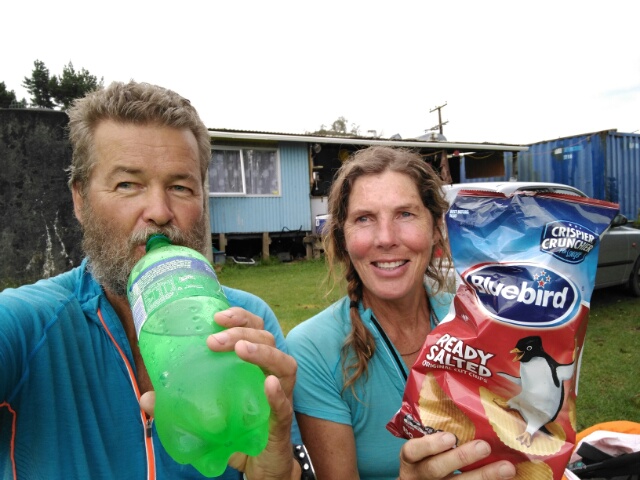
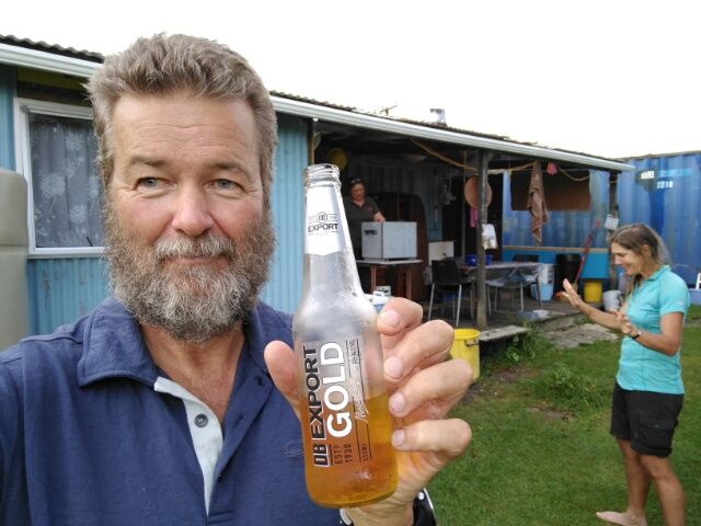
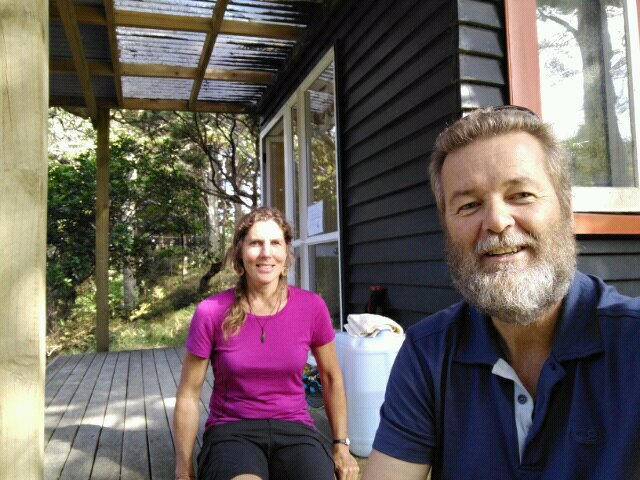
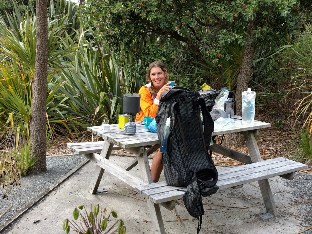
 Walking SH1 to Mangamuka. We got to the dairy about 1715 and bought a few treats - partly to celebrate my 59th birthday, which happened to be today! This consisted of a bag of chippies, a large bottle of Sprite and some chocolate bars!! We then set ourselves up out the back on Eliza's lawn and chatted with her while she and we were preparing dinners. Eliza very kindly found a beer for me in her fridge to help celebrate the birthday. She is such a lovely soul and will be a drawcard for TA hikers between the Raetea and Omahuta/Puketi Forests, where there is really no other opportunity to stock up on treats, or formally camp until closer to Kerikeri.
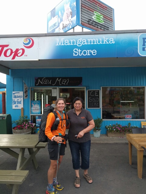 B and our hostess Eliza.
So overall a challenging walk for us, but with stunning scenery/landscapes to walk through and, again, another lovely person to add to the list of lovely people we have met on the trail so far. :-)
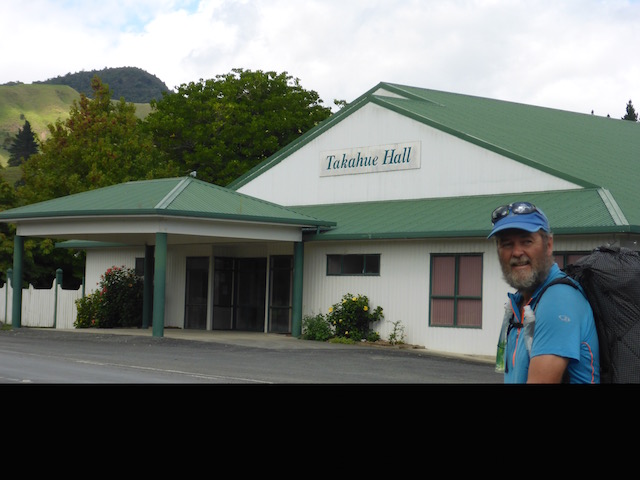
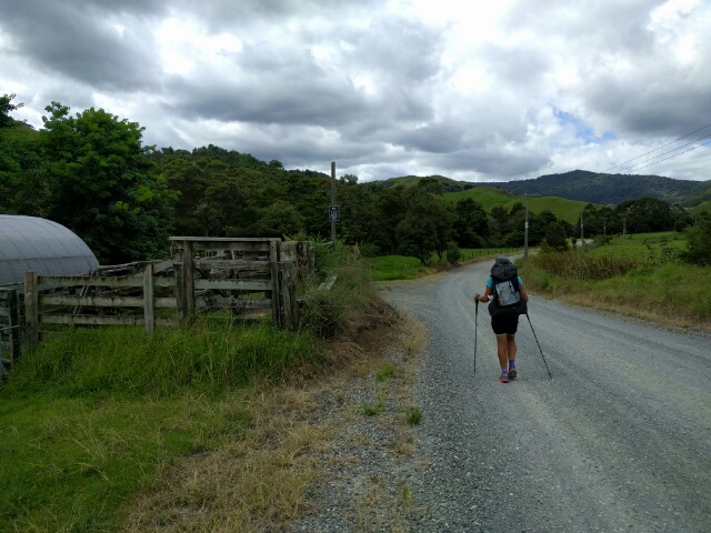
 This property just before Takahue was awash with dogs. This little puppy followed B down the road for a while before being convinced to head back home! Quinn and Little Bear would not have been impressed if we arrived home with a new puppy!! From Takahue we headed east on Takahue Saddle Rd. At the 16km mark for the day we were still on gravel roads and only about 100m asl. We stopped here for lunch and to refill our water, as the Raetea Forest itself has no reliable water sources, and we needed enough for overnight and next day as well. To our chagrin, we passed several other water sources in the next few kms on Takahe Saddle Road before getting into the Raetea Forest. We should have read other blogs more closely!! The part to the lunch break had been relatively easy, but we knew it wasn't to last. The next 5 km or so eventually took us up over the 580m mark so it was pretty steady climbing to say the least! Takahue Saddle Rd, after about 2km out so, became a rough four wheel drive track - but even up here someone seems to have put in a retreat of some kind!! Not so easy to get to and certainly no passing traffic to generate custom!!
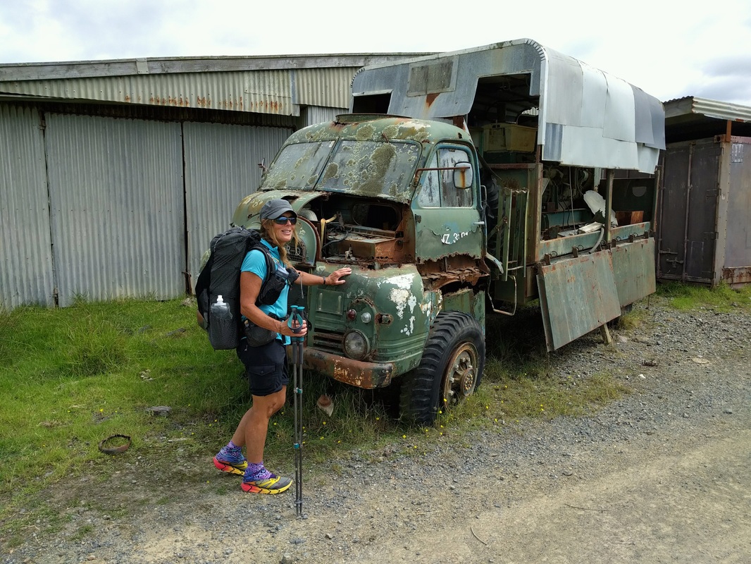
 Small stream crossing as we headed up hill. We have found a lot of these very out of the way dead-end roads are a dumping ground for old vehicles (and road cones occasionally)!!
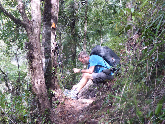
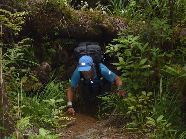
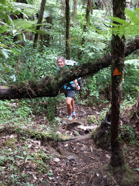
Eventually we turned off into the Raetea Forest track itself. The first bit didn't disappoint - a fairly rugged climb from around 280m up to 580m. We had originally thought of pushing on to Raetea Peak (the highest point at 744m), which was another 2.5 km of tough tramping track, as we had read there was a possible campsite there. However, after reaching the 580m peak we were pretty tired and decided to start looking for a spot to pitch the tent - Raetea is notorious for not having places to put a tent. It was described by one overseas hiker as a "jungle" rather than a "forest"! We were fortunate to find a spot not too far past the 580m Peak which we managed to squeeze the tent into. It was a good decision to stop, not only as we were fairly tired, but the next day showed us that there wasn't really any place else suitable before (or even after) Raetea Peak! It's fair to say that we are fortunate to have relatively fine weather, as mud had been a real problem for other TAers this season. Not that there was no mud - just much less than others have experienced - it would certainly have been much more challenging in wetter weather. :-)  We were pretty hot and sticky by the time we got to the start of the Raetea Forest Track - time for a break. That's the track heading off in the background.
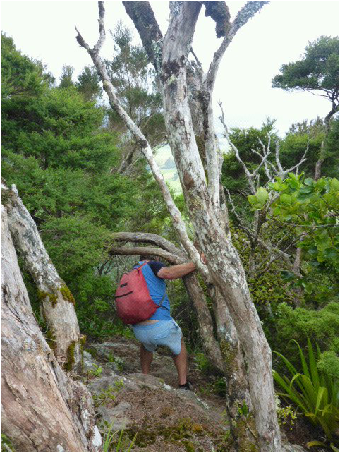
 Same log, same approach, different practitioner!
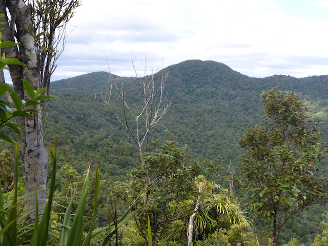
 Having blown up the beds, its time for some book reading for me before dinner! It is a beautiful forest to walk through and, even when completely knackered, and slogging away on gnarly uphill stretches, its hard not to appreciate the amazing landscape we have here in NZ - and how little of it most of us have really seen. Photos never really do it justice, but we hope it gives you a taste at least.
Cheryl and Malcolm were out last night but left us their car so we could shoot down the road to the Parua Bay pub for a meal. Very popular place and good hearty food! I reckon I needed to put on some weight before the Northland forests section! After a good night's sleep, we borrowed Cheryl and Malcolm's van and headed back to Urquharts Bay. There was a nice little walk out there onto Busby Head that was apparently quite nice. Thought it might be a good "wind down" walk after yesterday's terrain! Ros had also mentioned it as she had been out there on a gorse weeding party the day before we arrived back at Tidesong! So set off for a loop around the headland past very friendly cattle, an old gun emplacement, more regenerating bush and back via Smugglers Bay (which we had visited at the end of yesterday's walk). Total ended up being about 5km - gps track here. Clear view also of Marsden Point - they were in the process of flaring off gas, with an unusual (according to locals) amount of black smoke. Indeed, at the end of the walk we passed a fireman walking down as they had reports of a fire on Busby Head. We assumed it was someone mistaking the flare off. When we got back to the road at Urquhart's Bay, there were about 4 fire appliances. Turns out a boatie fishing on the eastern side of the head thought the flare off was the headland on fire. Better safe than sorry I guess! 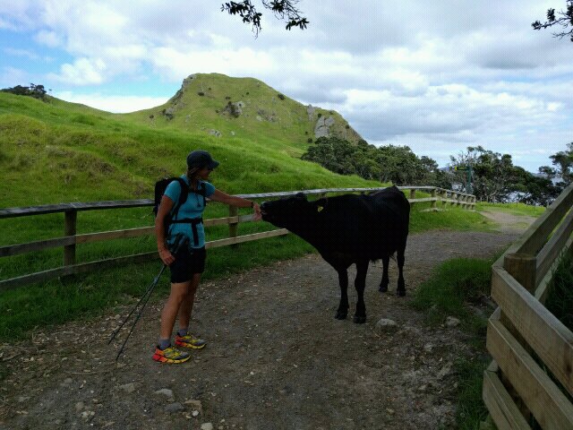 Cattle whisperer - first thing we come across as we start the walk. 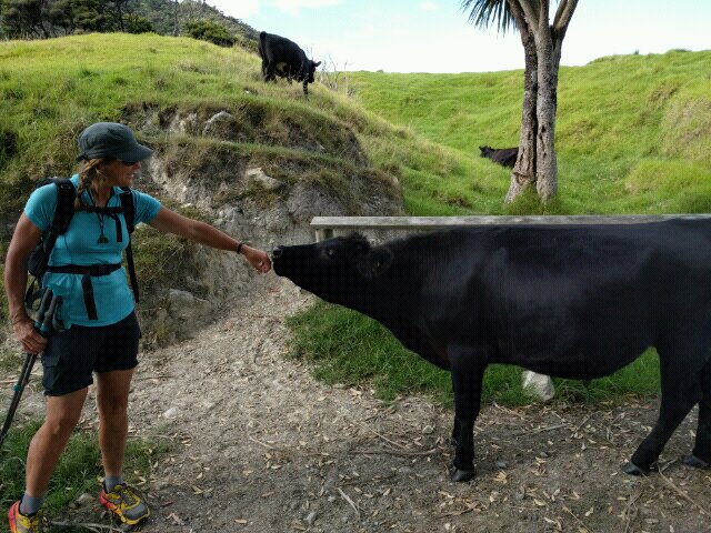 And another. 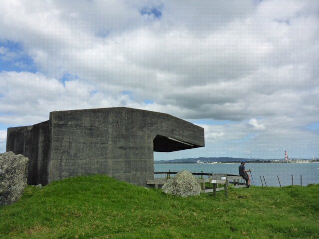 Bream Head gun battery. 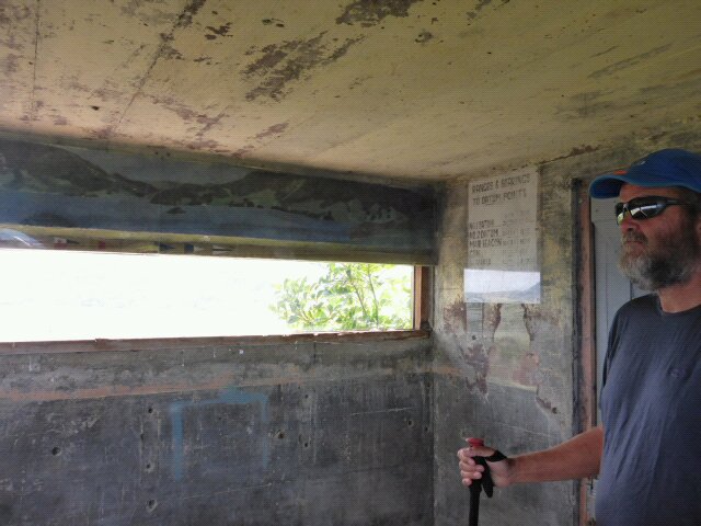 Insides the observation and ranging post. 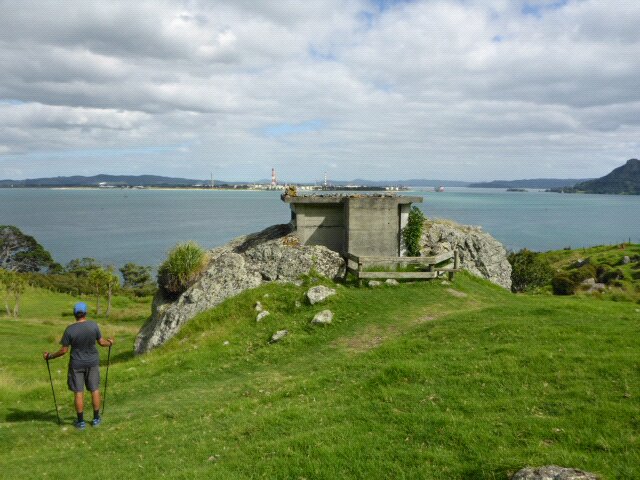 Observation post build into an actual rock for camouflage! 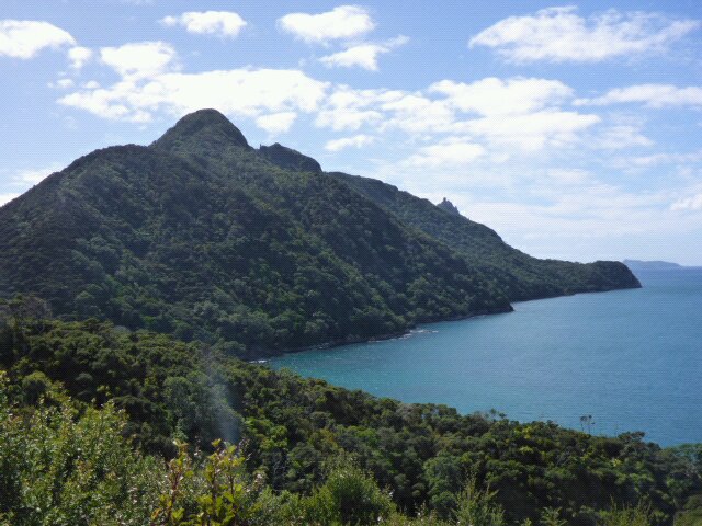 That's where we're going. 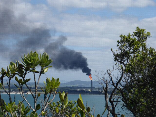 Flare off at Marsden Point, across the water.  Big slip off Busby Head. Bit of a crumbly edge so discretion advised!  Right out at the end of Busby Head looking back to Smugglers Bay and the end of the Te Whara walkway from yesterday.  The end back at Urquhart's Bay. B dipping her feet with flashing lights from fire engines all around! Had lunch at a pleasant little cafe a bit further found the harbour near Reotahi (still bulking up!!). B decided she wanted to walk another few kms round Reotahi point so I dropped her off and drove round to there other end to await her - someone had to do it :-) 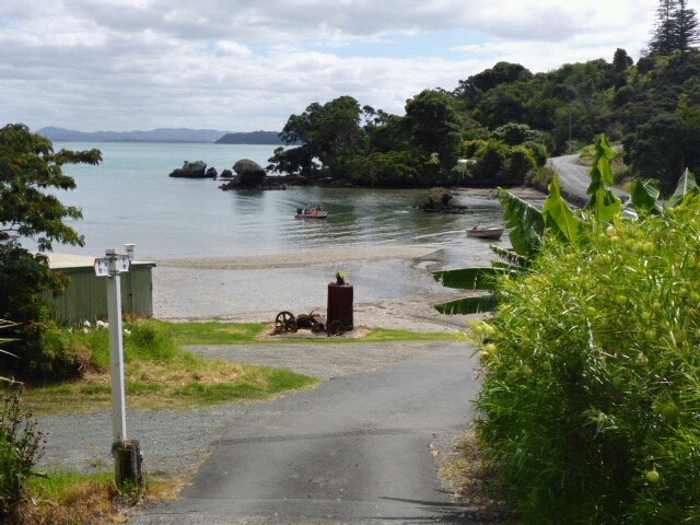 Walk around Reotahi Bay. 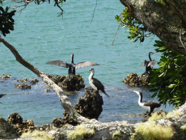 Shaggies! 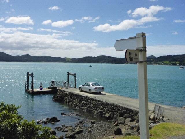 Jetty near McLeods Bay at end of Reotahi walk. Last point for TAers to catch ride across to Marsden Point Friends of Cheryl and Malcolm's - Kevin and Trish - were leaving to take up a position at a church in New Plymouth. Trish kindly invited us to join them and a few friends at the camp for a barbeque dinner send off.
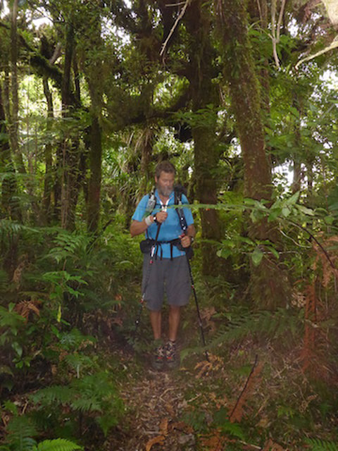
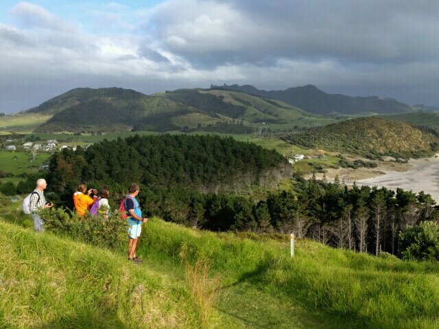
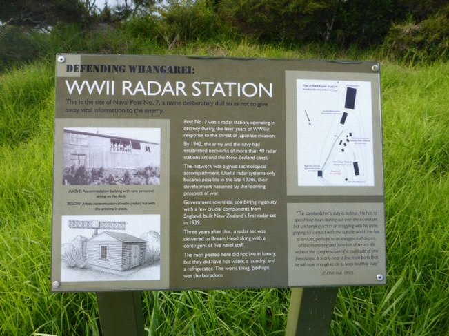
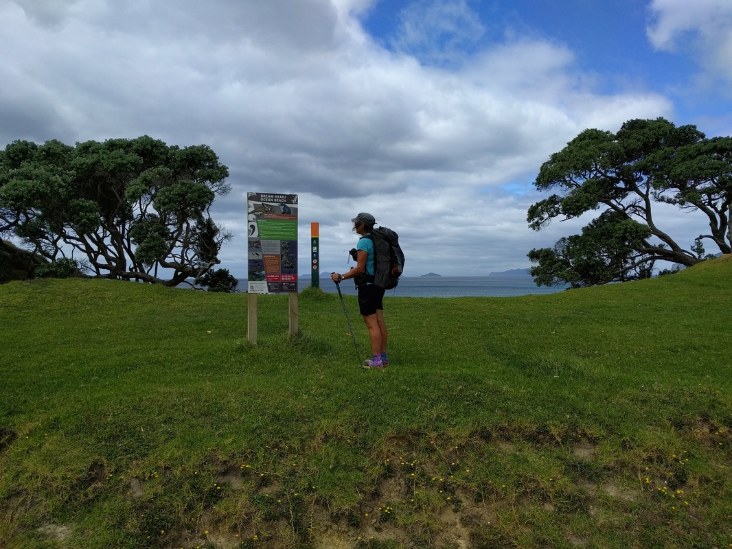
A huge thanks to Cheryl and Malcolm for putting us up for the two nights and being so generous with vehicles etc. Such wonderful company - we're certain out paths will cross again. :-) Another good sleep and in the morning Cheryl dropped us off near the town basin for us to wander down and catch the 1045 bus back to Opua. Arrived at Ria and Andrew's place around 1230 which gave us plenty of time to shoot into Paihia and restock for our Northland forest jaunt starting tomorrow a.m. (Tuesday). It was fairly windy overnight and some reasonable rain around 0230 to 0400. Tent held up fine but it was a bit noisy! Started up at 0600 as we were expecting some traveling companions for our walk over Beam Head (Te Whara) today and we had planned an 0800 start. The gps track for the day is here. Hilton arrived with Melva on the scooter about 0750 - Melva had to go back as they had guests at Riverbank to prepare for. Cheryl and Malcolm arrived near 0800 - as they had offered us accommodation for a couple of nights at Parua Bay, Cheryl suggested leaving most of our gear in the van!! Brilliant idea! So I took my pack with some essentials and all the rest of our gear stayed behind :-) 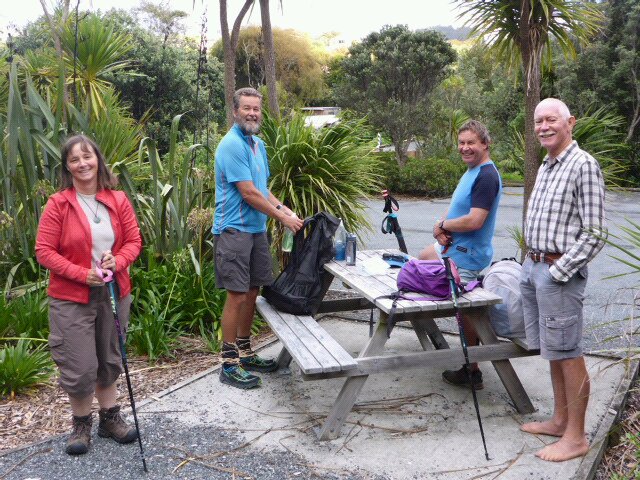 Ready to set off. Cheryl, me, Malcolm & Hilton. Note Hilton's natural footwear!! With local knowledge available, B and I didn't have to worry about navigation. We also had a wealth of knowledge about the history of the track and of local flora and fauna to make for a very educational day. The first climb to there highest point (about 480m) was mainly up through grassy ridges with some great views as we got higher. We went past the old WW2 radar station (must have been quite an effort to get everything up there) and eventually into bush as we got closer to the high point. The gps track for the day is here. As you will see, there was a fair bit of up and down after this as well - totaling about 900m of uphill and the same downhill.
 Steps were a killer for me - hundreds of them, both up and down!
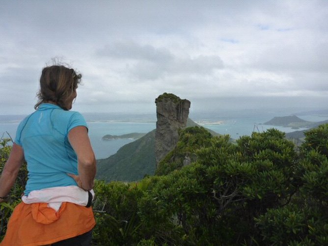
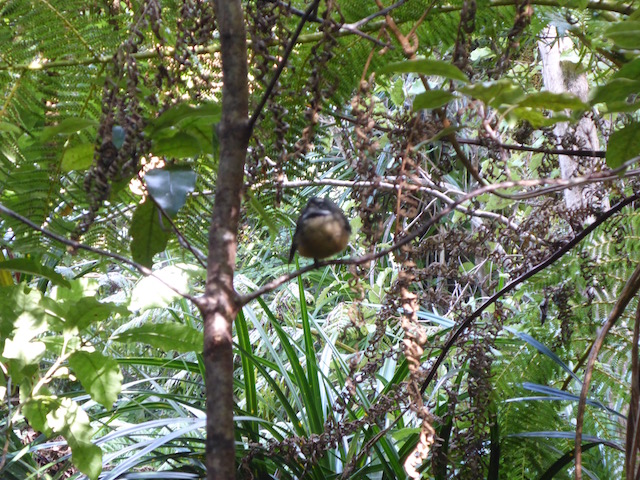
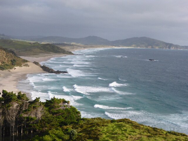
 Building that houses there antenna was down the hill a little. 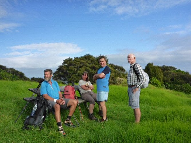 Picnic table rest spot on the way up. It is very rugged typography on the Heads with stunning rock formations with lots of sheer faces. It is also a very steep drop down to the sea. This leads to some spectacular views! There is a significant pest eradication programme, despite the challenges of the topography, which results in some healthy regenerating forest with a pretty good representation of various birdlife - more than we have been used to in most of the Northland bush areas to date.
 Heading in that direction. There were several significant peaks during the day, which involved some step accents and descents. I must admit I found the going tough at times - partly due to the rest and partly due to the significant number of steps in the steeper parts. These are really hard on the knees and mine were pretty sore by the end! Malcolm and Cheryl has other commitments so branched off to the Peach Cove carpark - but they had left a car for us at the Urquharts Bay end of the track for us to drive ourselves to Parua Bay when we finished :-). So B and I carried on the Heads track with Hilton. More stunning peaks, bush and birdlife greeted us on the way down. The last part down from Mt Lion was very steep and the steps were pretty challenging, with the constant thumping on the knees.
 A busy tree!
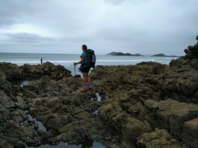
Coming out of the track proper onto grassland, we took a short detour down to the beach at Smugglers Bay before heading back to finish the track at Urquhart's Bay. We picked up the car and drove back to Cheryl and Malcolm's place at Parua Bay. B and I shot down for a great feed at the Parua pub as C & M had a function to go to. No need to put up the tent tonight :-) - comfy beds for us instead!
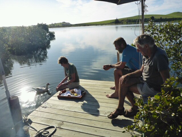
C & M have offered us to stay tomorrow night as well and can take us in on Monday to catch a bus to Opua - so that will work out well for us, thanks again to Cheryl and Malcolm for their fantastic hospitality. Flew up to Whangarei from Wellington yesterday and just as we were sitting waiting for our bags, Belinda spotted Hugh from Tidesong driving past! He was heading home to pick up another mower, and noticed the timing of our arriving flight, so came past to pick us up :-)!! So he took us straight to Tidesong - saved us hitching! Was great to catch up with Ros and Hugh - Ros prepared us a lovely roast chicken for dinner to help fortify us for the next couple of days! 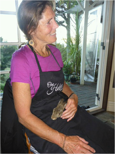 B babysitting the rabbit before dinner!
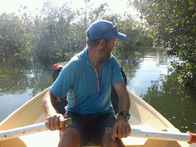
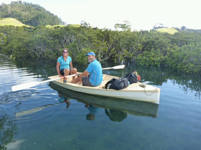
We slept in their lovely little cabin this time so we could see the sunrise - a great way to get the new day underway. With low tide at 0400, we decided to wait for high tide and row across the estuary at around 1000. Hugh came in a kayak so he could take the little rowboat back. We have really appreciated the hospitality shown by Ros and Hugh - helps make the trail an even more fantastic experience. We set of from the other side of the Taiharuru estuary about 1030 for the hike up to the trig atop Kauri Mountain - at 245m. A mixture of pasture, metal road and some asphalt, before a little bush walk to the trig.  Sunrise from the cabin.
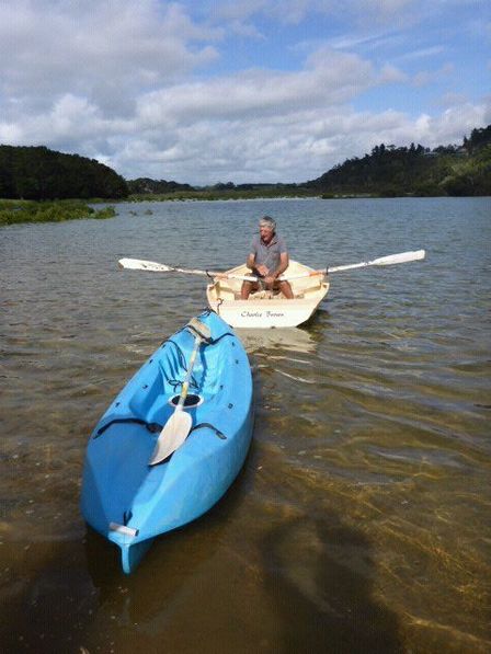 Hugh heading back with kayak in tow after we had crossed. Stopped there for a while to make some phone calls and to recover! We are definitely noticing the 10 day break we have just had! Then it was a couple of kms down through bush before another couple of kms on metal roads to the beach where we stopped for a lunch break. A very leisurely day relatively speaking - helping us to ease into the Te Whara walk tomorrow, which will be a lot more challenging for our "rested" bodies! 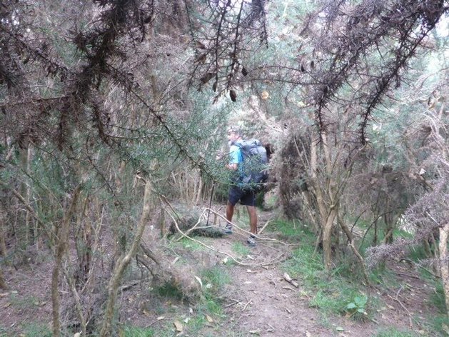 Kauri Mountain trig.
After the break it was 7 km down the beach to camp for the night on grass next to the carpark at Ocean Beach, near the start of Te Whara walkway (Bream Head) - arriving there about 1600. We had expected water there as there is a Whangarei council toilet there. Unfortunately the tank was dry so I wandered up the road a short way where one of the locals very kindly let me full up bottles from his rainwater supply. People are generally very helpful! Nice picnic tables for us to get out dinner prepared as well :-).
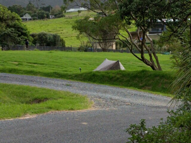 Tent site next to car parking area. |

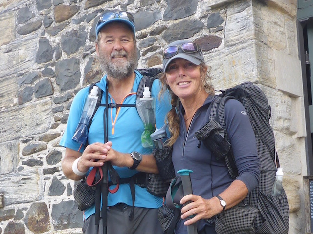
AuthorBelinda and Anthony (aka Tony) Hadfield made a decision, in their late 50's, to do something a "bit different" and walk New Zealand's 3000km Te Araroa Trail over summer 2015/16 - although updates will now tell you that this plan will take longer now!!. As the old saying goes - "don't leave home 'til you've seen the country"!! Archives
January 2018
Categories |


 RSS Feed