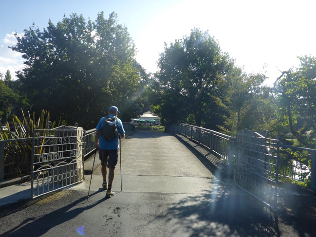
|
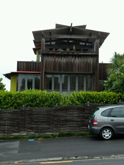
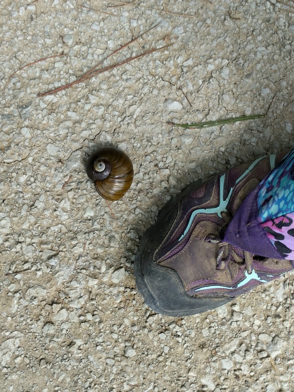
We awoke to our planned rest day with some relief, having been walking for 6 straight days - quite a long stint for us at this stage of our "restart". We fluffed around a bit as e had to swap caravans, which was accomplished by about 1100. Our next plan was to head to Shoe Clinic in Albany to see if we could find a solution for the unpleasant blisters that B has again had on this leg of our trip. Negotiating the buses want to bad and we only had to change once from Takapuna to the Albany mall. In fact, on the way back, we even managed a direct bus! Not being able to get a size bigger of her current shoes, B elected to go with a pair of Hoka One One Challengers - which is what I wear as well. We will see how those go for reading pressure and preventing more blistering. I will not miss her on a dark night as the new season's model is a brighter colour than my more staid blue and yellow! 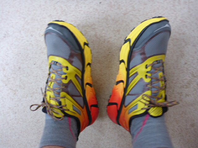 See what I mean! We dined in this evening and got ourselves sorted for a reasonable start time in the morning - as we had booked a bus from the city for 1300 to take us back up to Opua.
0 Comments
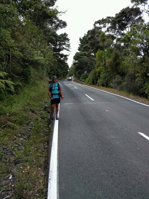
We got away from Sally and Brian after a yummy breakfast - around 0800. Belinda had rung her friend Lynda who, coincidentally, lives very close to S & B. We arranged to catch up with Lynda and Martin after lunch sometime, depending on progress. Brian dropped us back out on Okura River Rd where he had picked us up the night before - thanks again Brian (and Sal) for the assistance - it was great to catch up. Today's walk through to Takapuna is here. It was nice to have done the last 2.5km or so last night as it involved an almost 100m vertical elevation - would have been harder to do this climb this morning!!! So we only had 20m vertical metres to reach the high point for the day! Then it was downhill to nearer sea level to join back with the TA trail on Long Bay Regional Park. Then it was down the North shore Coastal Walk. Much of this went through the suburbs near to the coast, with some of it on the beach/rocks. As you can see from the gps track, there was a series of ups and downs all day, but not too taxing. We stopped at Browns Bay for a break around lunch - had a gelato and listened to a fantastic busker playing mainly Neil Young (and some James Taylor). We made a donation before heading off to meet up with Lynda and Martin further down into Browns Bay.
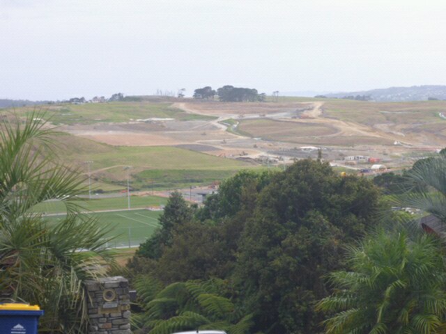
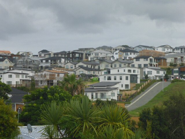 Next part of same subdivision  We are in town!
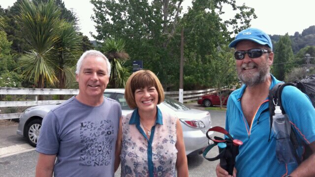
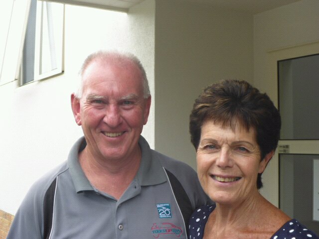 Nice to see Lynda and Martin again
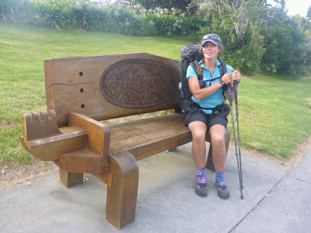
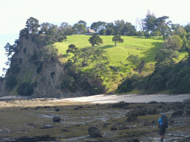
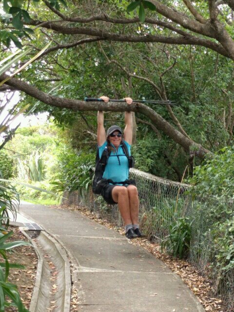 Me Tarzan (or is that Jane/Belinda) From there it was a mixture of beach, rocks, clifftop walks and roads walking through to the Takapuna Beach Holiday Park. The is some controversy over the site with some wanting to turn it into a yachting academy and others wanting to retain the beachfront site as is. Its a lovely spot but is certainly somewhat rundown in reality. We met a lovely couple going around the rocks to Takapuna Beach (she was Swedish, he a kiwi). Had a long chat as we walked. They kindly offered us accommodation, but we had already made arrangements, so politely declined. 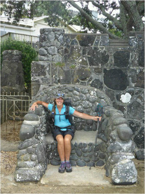 That's a big seat by anyone's standard
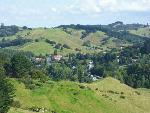
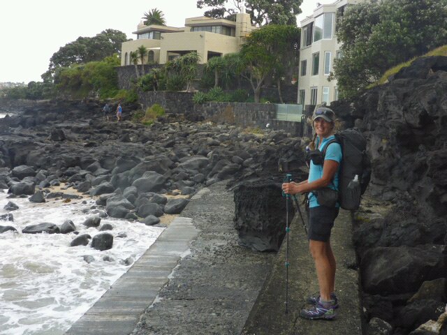 Heading round to Takapuna Beach We decided to have a rest day so hired a "deluxe" caravan for two nights. Suffice to say, it was not up to the standard of Pete and Ju's new caravan (!) but did the job OK for us - kept the rain out. 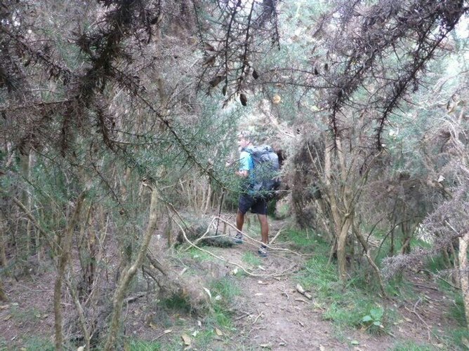 Our residence at Takapuna Today we were just planning to get across the Ohura River. This dictated our day as it is a low-tide crossing only and low tide was not until around 1900hr. Not the most convenient, but it is what it is!! We arranged to stay the night with Brian and Sally in Murrays Bay (another comfortable night - we may be becoming fair weather hikers!!). The gps track for the day is here. About 22 kms today. Because we were awake early we set off at about 0800 - just in case there was a chance of wading across the Okura River earlier than low tide. The trail took us on a bit of an inland loop this morning - through Silverdale then east out to Stillwater and the coast. We stopped after only a hour in Silverdale for a nice hot snack and drink as we weren't pressed for time. We got some "city" trail walking today before heading a little more "country road" before heading down to Stillwater Boating Club. We had a rubbish truck driver stop and chat for 10 minutes. A very interesting guy from South Africa who has cycled over 50,000km around the world so far and is planning to head off to America to continue on. He had talked to a number of TA walkers over the summer.
 "Waka seat" on city highway .(Orewa Estuary Walkway) 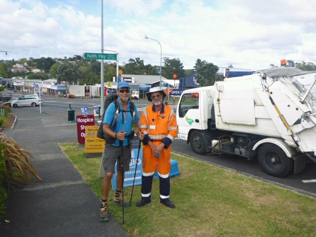 We met John in Silverdale
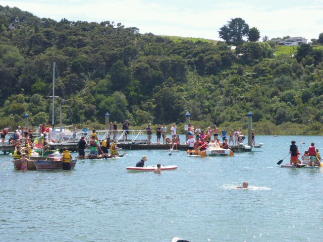
At the Boating Club we discovered that they has a fair with raft racing and other activities. We arrived around midday so decided to stop for some lunch and enjoy the festivities - a chance for me to have a bacon and egg sandwich!!
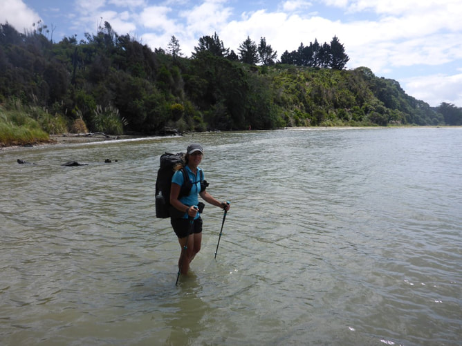
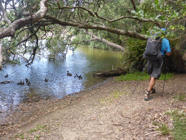
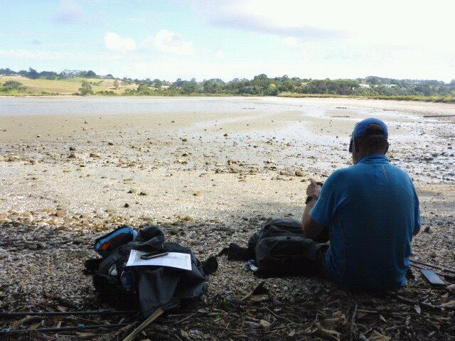
 Talking to Cavoodle pup at Stillwater We decided to head upstream of the Okura River for what is an alternative, shallower crossing. The other option was a deeper crossing closer to the river mouth which would have left us with another hour's walking to get to a road where Brian could pick us up. So we walked about 4.5km from the Boating Club around the coast to the spit that was the launching spot for the shallower crossing. The tide was still in a bit when we did this coastal walk so part of it required us to wade in the sea to get around - nothing major. Having got to the crossing spot about 3 hours before low tide, I waded out to test the water - unfortunately it was getting towards hip level before I got to the main channel. We also saw a horse going across and it had to swim - so, rather than get unnecessarily wet, we decided to wait for a while!! We ended up sitting around out of the wind (which was pretty strong) for a couple of hours before deciding we would give it a go. It was somewhat of an anticlimax as we set off into the water an hour before low tide - it came up to about my knee and a bit higher for Belinda obviously!! Such is life.
 Wading in sea around this stretch of coast
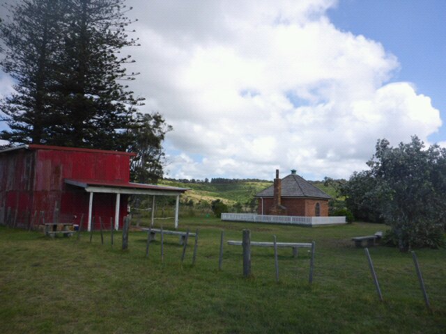
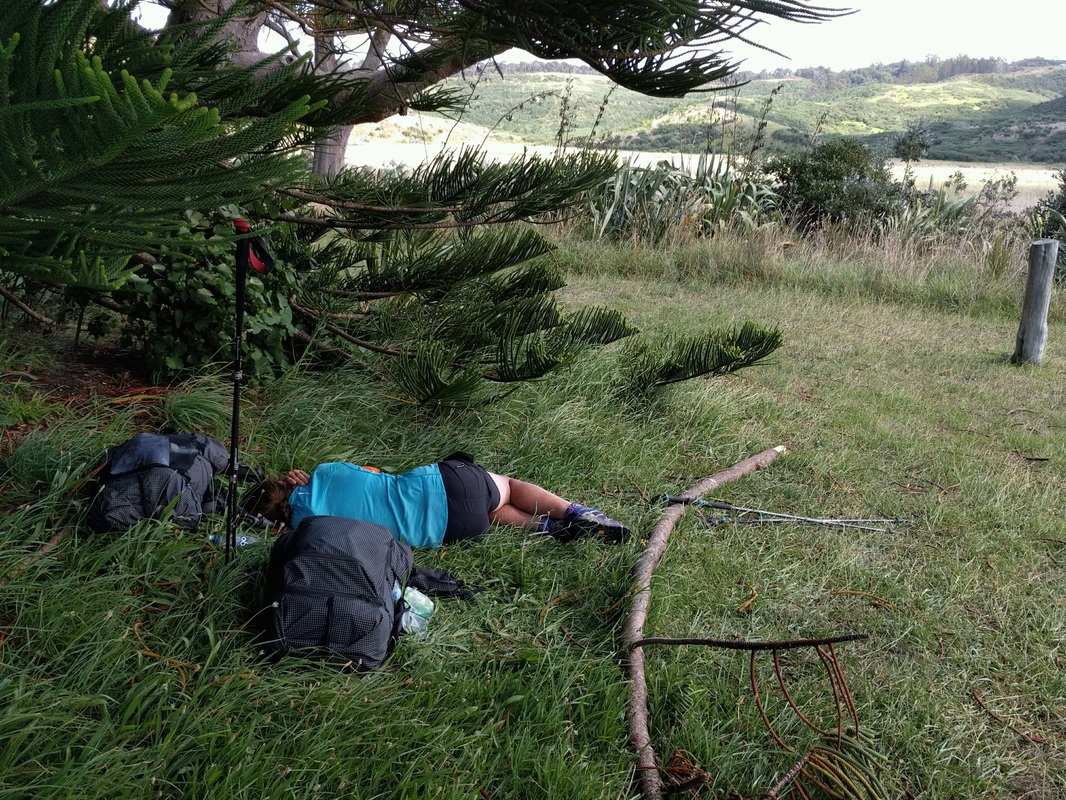 B having kip under Norfolk pine by Dacre Cottage
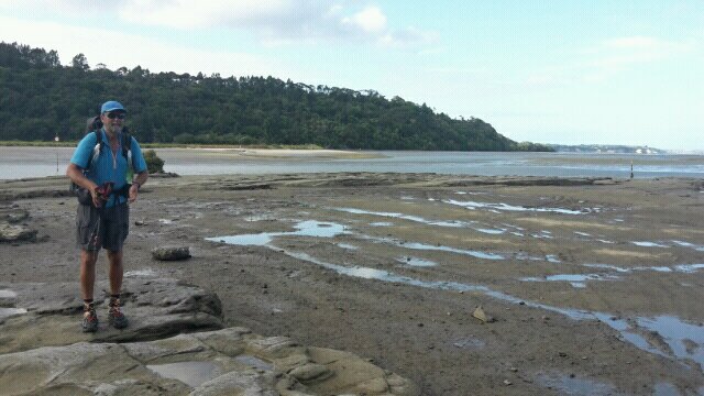 The other side of Okura River We rang Sally and Brian, with Brian heading off the 10km or so to pick us up. In the meantime, we started walking down Okura River Rd and got another 2.5km under our belt before we met Brian. Less to do tomorrow! We settled in at Sally and Brian's for another night of luxury bedding! A lovely meal (thanks Sally!) including a very nice pilsener (thanks Brian!!). More trail angels to keep us in the manner to which we are becoming accustomed (just kidding!). A lovely evening catching up before heading off to bed, with tomorrow being our sixth day walking in a row.
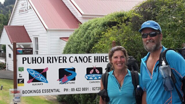
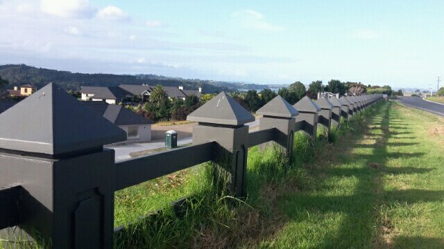 Fancy (concrete) fence for the flash subdivision! 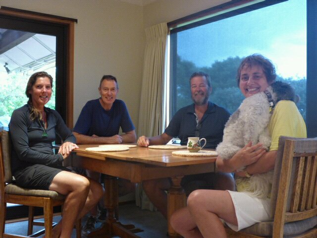 With Brian, Sally and Ike As we couldn't start our kayak trip down the Puhoi River until around high tide at 12 noon, we had a relaxing start to the day (this was part of our plan in pushing on to Puhoi the afternoon before). Our kind hosts were heading to Auckland and dropped us off in Puhoi on the way. Another great big thanks from us to Mo and Grant for their hospitality, including all the running around for us, over the last couple of days - it was fantastic to catch up again. I split the gps tracks today - so the kayak leg is here. The following walking section is here. About 7.5km on kayak and 13km walking today - reasonably leisurely given the terrain! We took a quiet 1hr40 or so to paddle down to Wenderholm Regional Park, where the kayak people had our packs waiting for us. We had a short break there and then headed off for an eventual planned stop at Orewa Top 10 Holiday Park
 Grant and Mo kindly dropped us off
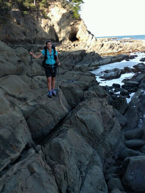
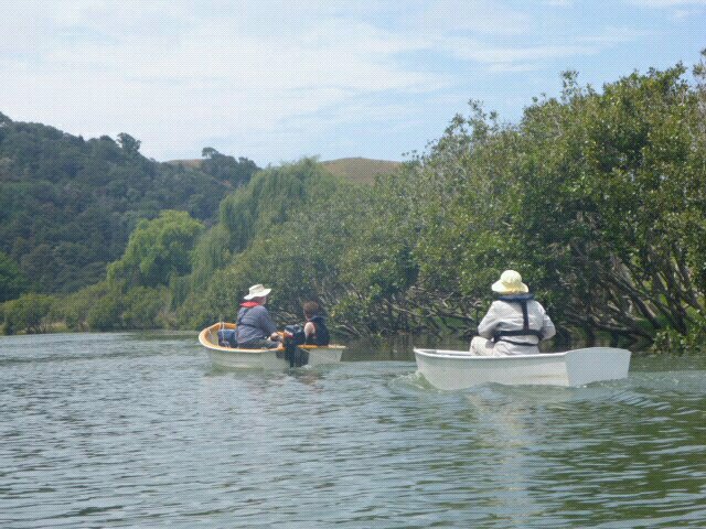 Towing grandma down the river! 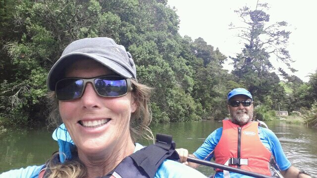 Selfie! 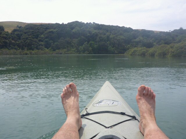 B resting her worn out feet. I must have been paddling! After our rest we started out by climbing fairly steeply up the headland which is around 150m asl - this was the only real climb of the day. Unfortunately, about halfway up I noticed that my sunglasses had come adrift from my head. Belinda was ahead of me and out of calling range so I had a quick trot down a bit of the track and couldn't find them. I headed back up and met B heading down to find me. First off B headed back down to the bottom and came back up empty-handed. I then headed back down almost to the bottom again and headed back up. Lo and behold, about 50m from where we had stopped, I spotted them in the "gutter" on the side of the track. Saved! That all took over an hour out of our schedule, although today we were not pressed for time fortunately! We crossed the Waiwera Bridge and took the low tide coastal route round to Hatfields Beach (famous among other things for being the late Rob Muldoon's holiday spot!). This was more rock hopping than sand walking. Interesting section and generally safe although I did manage another slip on my bum on some algae-covered rocks near to Hatfields Beach - luckily no real addition to the already massive bruise!!
 Off headland and onto beach  A bit beyond repair
 B on yet more rocky coast 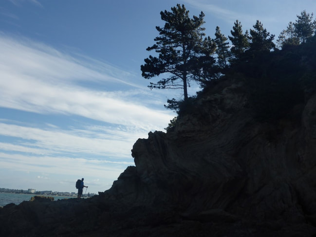 Me in silhouette - B the artist of the team  Two starfish! It was only about a kilometre from Hatfields to the start of Orewa Beach - then it was a walk down the 3km or so of beach to the campsite at the south end. Halfway down the beach we noticed someone looking at us a bit more closely than usual (lots of people stare at the crazies walking with so much stuff on their backs!!). We started chatting and discovered she had been sitting right behind me at the Puhoi Pub the previous evening and had recognised us (we don't change clothes much!!). Given the coincidence, we thought we should get her to take a photo of B and I on the beach (yet another beach). Arrived at the campsite somewhere about 1800 and pitched tent for the night. There are, as might be possibly expected, lots of people interested in what we are doing - obviously this is mores in the populated areas that we are in right now. Good to be able to spread the word - and even find the odd person who has it on the bucket list to do.  Odd round column just before Orewa Bch  The lady who saw us at Puhoi pub took this on Orewa Bch! After a nice breakfast (thanks to Mo for the homemade muesli!) we arranged a much smaller load than usual into our borrowed day packs. Grant kindly dropped us back at the Dome Cafe on his way to work, so we eventually got underway just before 0900 (after ducking into the cafe again for a couple of smoothies as a special treat for the day!!), with the hope of reaching Puhoi - although with the backup of Mo picking up up somewhere short of Puhoi if necessary. The link to today's gps track is here. We ended up making Puhoi at almost 28km in fairly hot sunny weather. We headed straight across SH1 and up Kraak Rd - mainly metal - which lead onto a forestry road. This took us from about 200m asl to around 300m asl. We then headed mainly down through some native bush (DoC's Smyth Reserve) then back into some felled forestry with small gorse to wade through. This eventually led us to down to Smyth Rd after having cover about 4.5km so far. Smyth Rd continued to descend until we go down to Kaipara Flats Rd at around 50m asl.
From there is was about 4.5km of mainly road walking with a small amount of gradual uphill. In the middle, though, is a short (500m or so) section that goes through a private property. We stopped and had a pleasant chat with the owner (English originally) and thanked him very much for the use of his land to help out TA walkers! At the end of that 4.5km section we started a much steeper climb up another forestry road that would eventually get us up to Moir Hill at 357m asl. i.e. another 300 or so vertical metres from the main part of the previous road walking section.
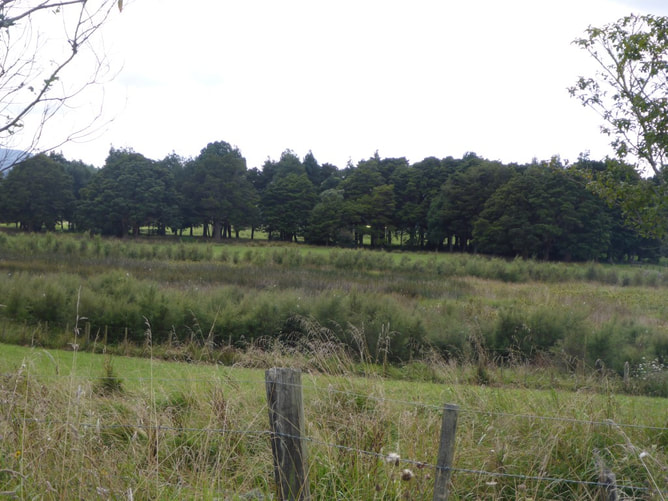 Lots of fenced wetlands/riparian strips - great to see.
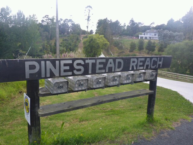
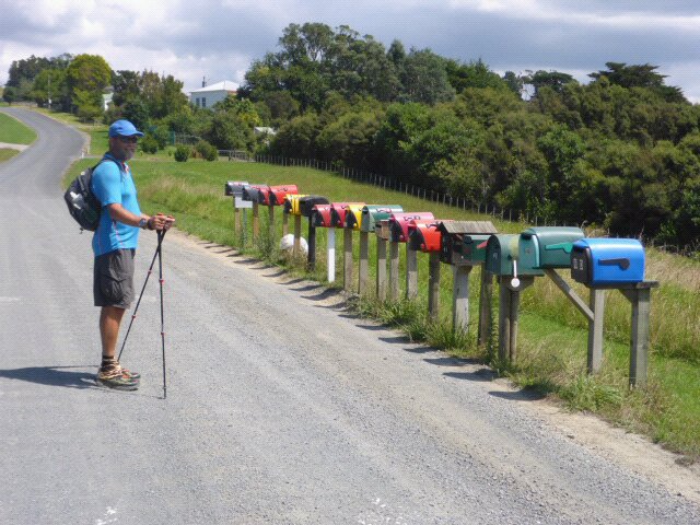
 That's Moir Hill upwards and ahead Once at Moir Hill we headed down through a little bush and on a 4WD track. Another short stretch of road walking (sealed) and up through a rural residential subdivision. We did notice that ordered numbers and consistent design of letterboxes was not part of the deal for this particular subdivision!!
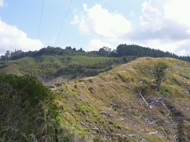
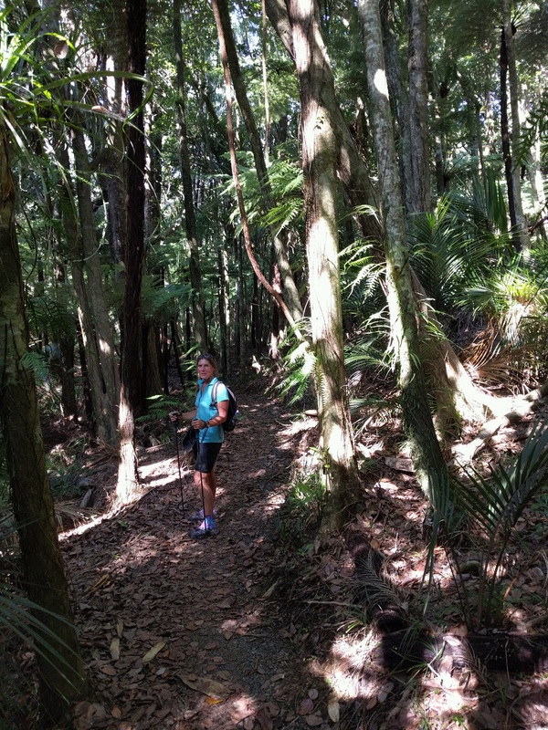
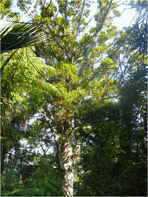
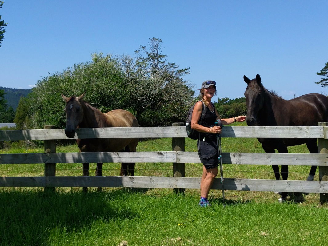 Horses on the subdivision 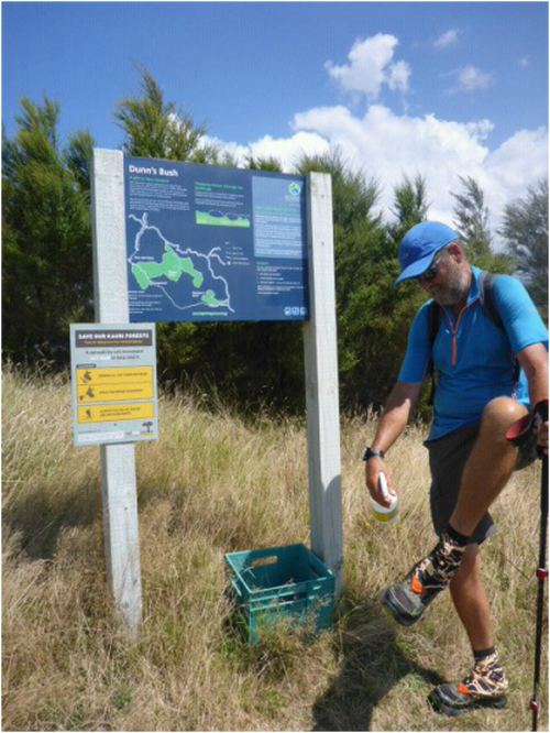 Cleaning and disinfecting shoes - kauri dieback disease prevention measure. We then turned off the subdivision into a bush track - here we came across our first disinfectant station at a track terminus - aimed at helping prevent the spread of kauri dieback disease, which is playing havoc with the kauri population in the north. So we, of course, scrubbed and sprayed!! This track led into a QE2 covenanted piece of Dunns Bush, then it was down a mixture of farm tracks and fence lines to the end of this section - with only the 5km Puhoi Track left to go. 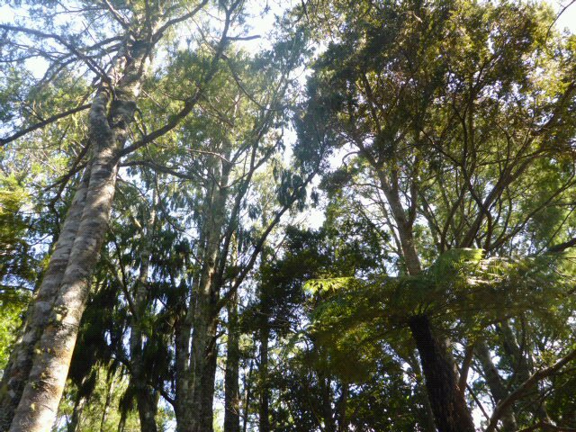 A bit of Dunns Bush. Kauri, nikau, totara etc...... 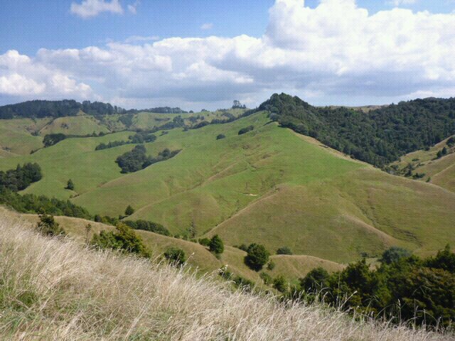 Some of the nice hill country around Dunns Bush. Belinda was fairly pooped by now but we decided that we could manage the last 5km OK as it didn't appear to be too much "up and down". As the gps track shows, it ended up that we did another 100m up, 80m down, 80m up and finally 130m down to Puhoi!!! Not quite as easy as we had thought from the contours on the Topo50 maps - closer inspection required in future!!??. Anyway, we survived.
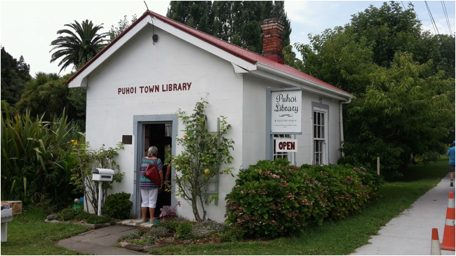
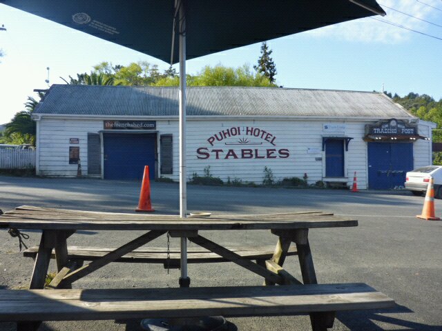
 Last but of Puhoi Walk down through farmland and bush We eventually finished at the kayak place (where we would start the next day) at around 1630 from memory and then swiftly walked back to the famous Puhoi Pub, where we settled down for some lemonade (lots for B and a little for me) and some Czech Pils (lots for me, very little for B in her lemonade!!). We rang Mo and Grant, who came out and joined us. We decided to stop there for dinner (and a few more drinks of course) and had a very pleasant evening. Amazing how one can pack away the food and drink after a long exertion on a sunny day :-) Then it was back to Mo and Grant's for another comfy night's sleep
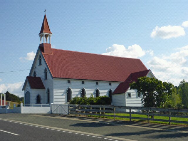 Puhoi church
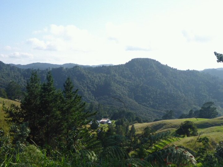
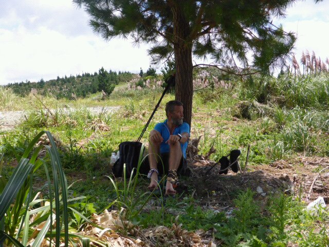
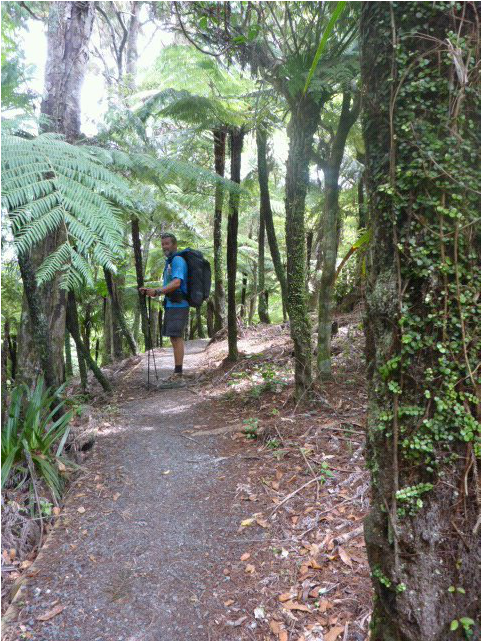
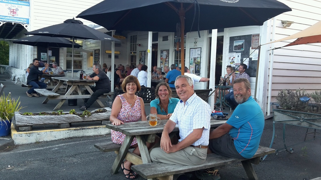 Mo, Grant, B and I enjoying a convivial brew (and/or lemonade!) before dinner. We were on the road again around 0800, again not sure how far we would get. We only had another 400m of gravel road from Mandy's to were we headed off into the bush track. As you can see from the gps track here, we did a fair bit of up and down again today - a major down, then up, in the middle (into and out of the Waiwhiu Valley was pretty hard going (especially the long uphill slog up Fisher Rd, a forestry track, for me - Belinda mostly goes uphill better than me with my spindly Hadfield legs!!!) A bit like yesterday, while we only did just over 13kms, it felt like a lot more especially as it was again pretty hot. We started with an approx 100m (vertical) climb up towards Conical Peak, mostly on an old 4WD track. We eventually turned off this into DoCs Totara Scenic Reserve. This was quite nice bush to walk through although, from memory, we didn't see huge numbers of totara!! As you can see from the gps track, we descended slowly along this track initially before descending steeply down into the Waiwhiu Valley and crossing the Waiwhiu Stream (dry feet crossing!)  Some easy walking to start the track proper  Busy spiders on gorse 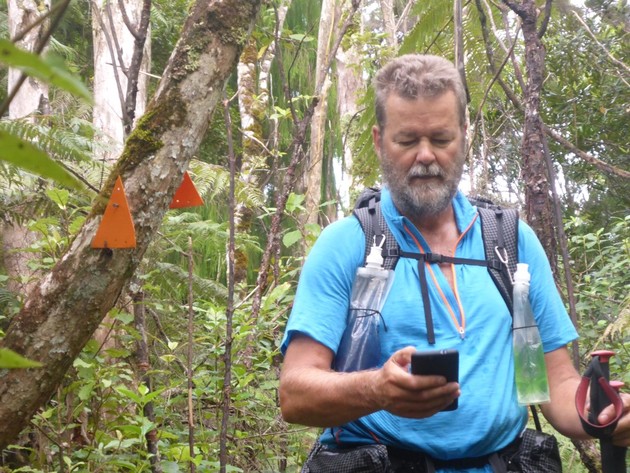 We did do some bush walking - checking we haven't missed any orange markers!! 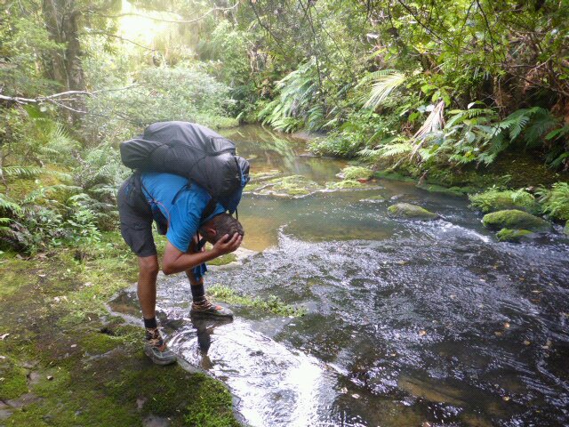 After the steep descent to Waiwhiu Stream - blessed cool relief! Again, the gps track shows we climbed 150 vertical metres in 23 minutes. It was too steep for a comfortable walk for me and I ended up having to take lots of micro breaks on the way up to rest the leg muscles. Belinda was definitely faster than me up here. Its worse than climbing through bush in that it is just relentless 4WD forestry road walking up an even, steep slope - suffice to say I was pleased to reach the top eventually!!  The infamous Fisher Rd uphill slog. B well ahead! We then had a 1.3km walk through mainly bush alongside the stream (although that too was a little up and down - nothing major. Then it was back across the stream (again managed a dry crossing) and up onto Waiwhiu Rd (metal forestry Rd) for a very short hike to Fisher Rd. Then it was a short forestry (pine) walk before heading back into some nice podocarp and broadleaf forest (DoC's Dome Forest). There was a pleasant couple of hours of relatively minor ups and downs before saw "The Dome" ahead of us. Unfortunately, getting there involved a 100 vertical metre descent followed immediately by a 120m ascent to get to the Trig atop The Dome!!! As they say in NZ, why go around when you can go straight up and down!!  Lots of nikau in this section of forest  Rocks on way up to The Dome - with tenacious tree! We stopped for a little while at the Dome - at this age we had decided we would probably stop at the Dome Cafe rather than carrying on with some more of the Dome Cafe to Puhoi section. We were a bit more relaxed at this stage as we only had about 1.5km to go to the cafe!! At this stage we could also hear the hum of traffic on SH1 as we also about 150m higher than SH1 where it passes the Dome Cafe. A bit of a change from the relative quiet of the more remote bush walks!! 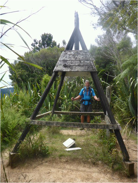 Trig at The Dome As always though, the punishment wasn't finished. We saw a smaller peak ahead of us and said to each other "surely they won't take us up there before heading down to the cafe?". You know the answer of course - and down and up we went again!! Down 100m, up 50m, down 30m and up 30m before the final 100m descent to the cafe!!! It all sounds rather pitiful but, again, after the days earlier uphill slog(s), I for one was well and truly ready to see the end of the uphills - even though they were relatively small in the grand scheme of things!!! I get softer as the day goes on I think. B is better on those uphills but does get more tired than me towards the end of a longish day - so the nett effect was we were both happy to call it a day at the cafe!! About 1km from the bottom we got to a nice viewing platform - from there the track was a veritable (relative) superhighway down to the cafe (although still pretty steep in places!). They obviously encourage walkers up to the lookout from the cafe with beautiful steps on the steep bits and a well formed and surfaced pathway. 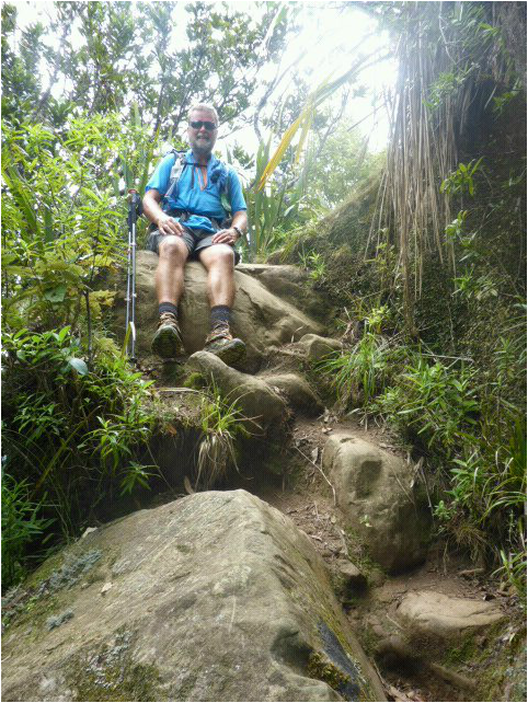 As noted, still more up and down, including rocks, after The Dome 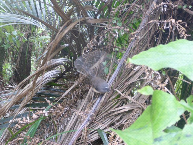 Piwakawaka love you in the bush 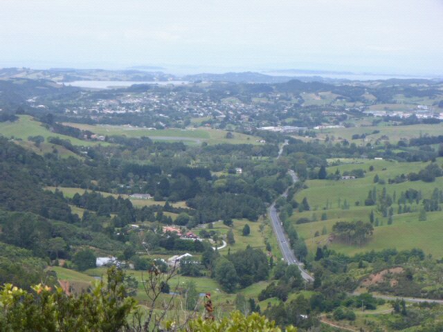 View out to Warkworth, Snells Beach etc 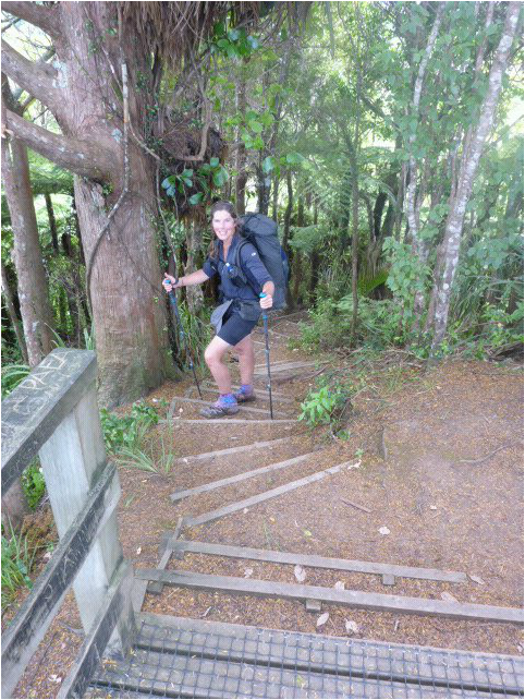 Start of super highway from lookout down to cafe
 At bottom of track right by Dome Cafe I must say at this stage that we were very fortunate to know that we would be able to stay with Mo and Grant in Warkworth and that Mo had offered to pick us up from wherever we got to - more "trail angels" to help us on our journey!
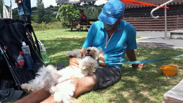
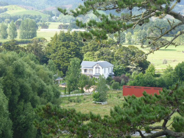
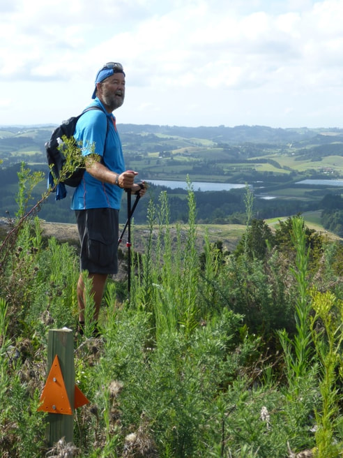
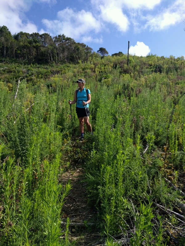
When we got to the cafe, about 1530 we tucked into a sizeable meal and some nice drinks (well-deserved we thought!). We rand Mo to let her know that we were there and she kindly came out, picked us up and took us back to their place. We were treated to a lovely meal and a nice comfortable bed which made for a good night's sleep. We also decided at that stage that we would borrow some day packs off Mo and Grant and attempt the approx 28km walk from The Dome Cafe to Puhoi the next day. While we are not in peak fitness by any means, not having to carry the full 12-14 kg packs all the way would make it more "doable" for us we figured. Sorry it has taken a while to update. A combination of limited time, weariness and a misbehaving editing app on the phone has meant we are now at Ria and Andrew's in Opua (Thurs 18/2) and I am taking the opportunity to use the real computer!! As my dear sister pointed out, I have also been slack at updating the BuddyBeacon (as I don't want to leave it automatically reporting hourly - battery hog!) - I'll have to try harder in the memory department. Anyway, on with the journey :-). After a very pleasant day of rest, it was on the road again at 0800. Today's Suunto gps track can be found here. Says we did 14.1 km - sounds not much but, believe me, it felt like a lot by the time we emerged onto Matakana Valley Rd and then onto Govan Wilson Rd later in the day!! 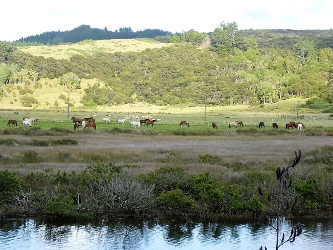 Beach riding outfit leaving camp. About 45 horses in one paddock! We did about 3kms to Pakiri Hall on mainly gravel road, then it was a long steady climb for about 2.5km up through ungrazed farmland. In places we followed a reasonably well worn TA track through the kikuyu which was ok - a few times we were wading through longer kikuyu, which is not so much fun! 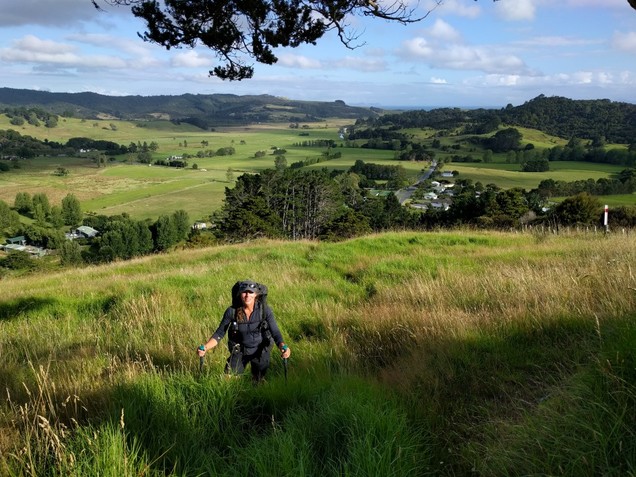 B in some of the longer kikuyu  At top of 2.5km farmland climb  Just past previous photo looking back with Whangarei Heads in far distance We then headed alongside some forestry on grassland and upwards into the Omaha forest, eventually looking to reach the 437m peak of Tamahunga. This was a pleasant hike, but mostly a real tramping standard with heaps of up and down, unformed tracks with lots of tree roots etc. There were the occasional bits of better formed track thrown in for relief! On the way we walked under a weather satellite station - sort of in the middle of nowhere! We were very fortunate that it hadn't rained much as some of it would have been very dodgy if wetter. Even so, parts were very slippery so we had to be careful. Unfortunately, I wasn't careful enough and had one slip, landing square in a tree root on my left bum. Very sore - a day later it broke out in a dinner plate sized bruise - still sore 6 days later!  Also looking north. Whangarei Heads in far distance and Mangawhai Heads just below it.  Some pleasant bush walking  Down, down, down 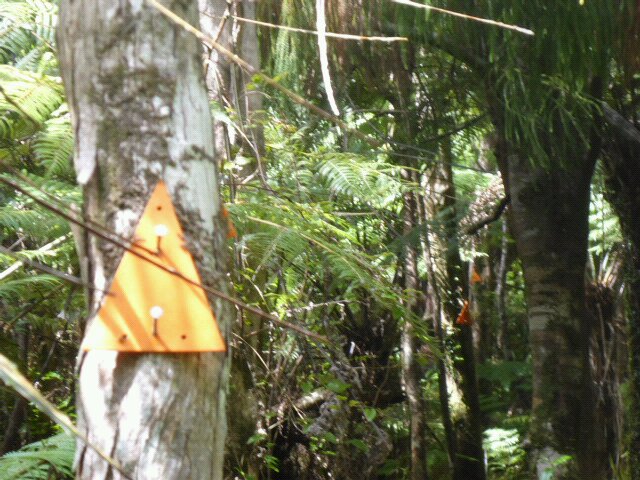 3 orange markers in one shot! Shouldn't get lost then 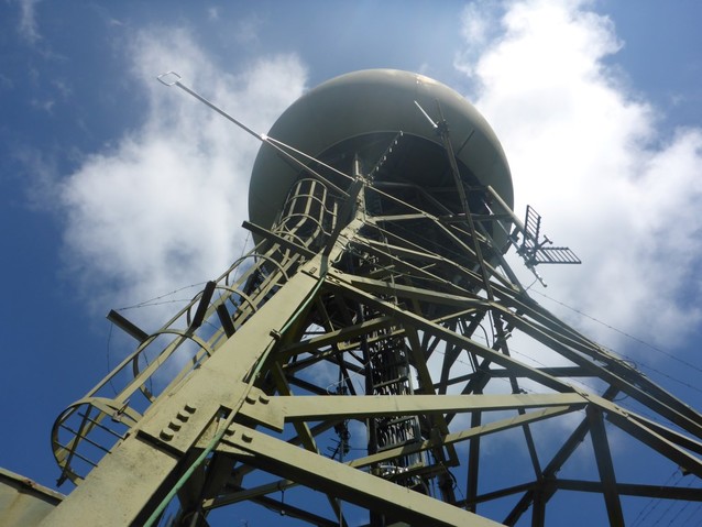 Conspiracy theorists might not believe it, but it's a weather station! The old track used to head south from Tamahunga onto Omaha Valley Rd, but last year they put in a new track from Tamahunga west across to Matakana Valley Rd. This track is again tramping standard but was also very narrow, with gorse and a bit of blackberry closing in on lots of it. Also very slippery in many places. Even with bare legs and arms we just got used to pushing through the gorse and ignoring scratches etc - there was really nothing else for it! We did discover later that they intend to do some upgrade work before next season on this part of the track, which should make some of the going a little easier. 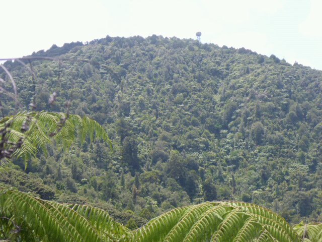 The weather station is now in the past 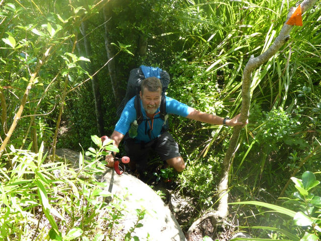 More nice bush track with roots and rocks!  A bit more rock climbing. Towards the end of this section we met Evan, a NZ-resident American. He was northbound - we chatted for 10 minutes or so, and he mentioned a trail angel on Govan Wilson who took weary hikers in - we kept this in mind for later as we had originally planned to continue on towards Dome Valley and find somewhere to camp in the bush. Anyway, we finally emerged into Matakana Valley Rd around 1500 from memory. We were pretty knackered at this stage so carried on another 800m out so just into G W Rd and had a snack break on the side of the road. At this stage I also confirmed the trail angel's address. Her name is Mandy and we found we had about another 2.5 km to walk up G W Rd to get there. At this stage we had decided a stop there would be great! Reached there about 1600 or so to be greeted by a couple of young French film-makers from Paris, who were woofering there. Mandy was out so they fed us cold water on the deck until Mandy came home. We pitched the tent on the lawn and had access to Mandy's facilities - so, again, we got a shower! Perhaps I should mention at this stage that the weather has been very warm so far, so you can probably imagine how much sweating is going on!! We had a lovely stay at Mandy's - including meeting Barry (easy name to remember for us!) the labradoodle! She has lovely grounds, including a soundstage at the bottom of the garden for occasional concerts - the place is also known as Music Mountain. Big thanks to Mandy!  Camp on Mandy's lawn - even a "dining" table  Barry making himself at home with us!  Me with Mandy, her grand-daughter and Barry on back deck I woke early and had a shower at 0530. B got up when I got back to tent to head down to the beach for sunrise while I went back to sleep after a while!! B got some lovely early morning shots while I was snoozing. 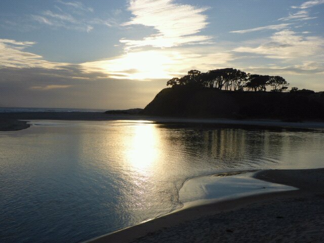 Pakiri estuary looking south 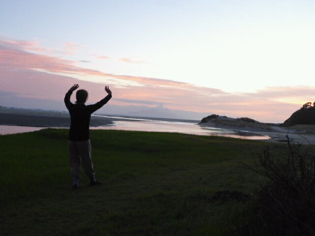 Early morning Qigong practice selfie! We chilled out for most of the day - recharging electronics, washing, food restock, lots of blog writing!! Found time in that busy schedule :-) to go for a dip in the estuary and then briefly in the sea. It is an area that is potentially rip-prone so we were cautious, especially as there were not large numbers of others around - but at least we can say we got wet! 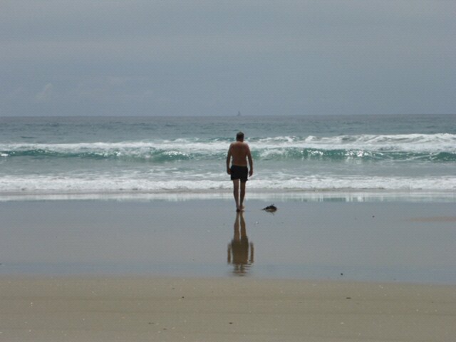 Me heading for the waves Just to prove our intent, B also managed to get a selfie of herself in her togs :-) 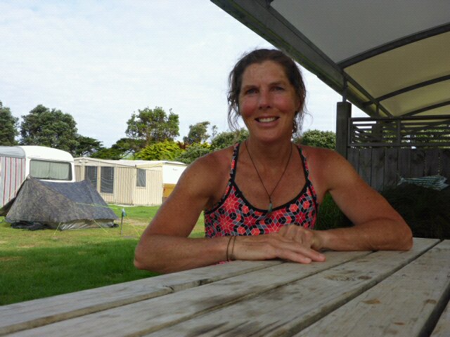 Togs? Undies? With tent in background Belinda here:) Back on TA and it has been a fantastic week. So far so good with our bodies holding up. Though we have only been out walking for a week, it certainly feels like we have been out a lot longer. The scenery has been exceptional with gorgeous beaches, interesting towns, forestry roads that climbed high into the hills where the views were stunning, farm land and of course, almost my favourite, the New Zealand native bush. We passed one farm where we saw sheep being worked calmly and quietly near the homestead by two heading dogs. Interested to see where they were going to, we watched and it seemed the dogs were all by themselves and doing a grand job. I imagine they had been let off for a run and decided work needed doing!! 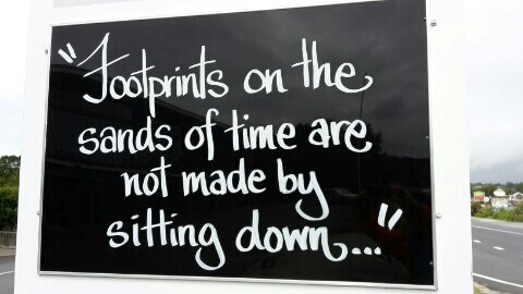 Cute sign, as we headed to another beach. This last week has allowed us to experience huge kindness and generosity by people we do not know. TA walkers refer to these people as 'Trail Angels' and they really are. From the people who picked us up immediately we started hitch hiking to Shirley at Ruakaka, and Don and Lorraine at Langs Beach who went out of their way to help us. Mac and Sandy at Pakiri with lotsto share as well as the hot freshly baked sour dough rolls, yummy :). People we meet and talk to on the way all add to the richness of what we are doing. What I found so interesting was that Trail Angels seem to appear, very often just when you need them. There is something quite special about 'letting go', not knowing what or who is around the next corner and embracing what ever it is.....we love it. Beach walking, needs a mention and some photos as we have just about completed TA beaches, certainly the long ones. I can assure you, beach walking, km after km is quite the experience....... positive and at times challenging! 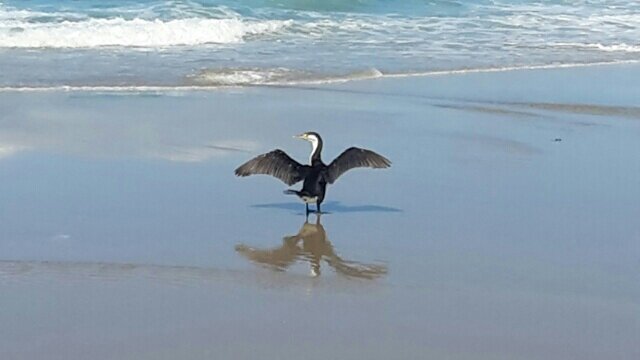 Beautiful!  Anthony, the artist. 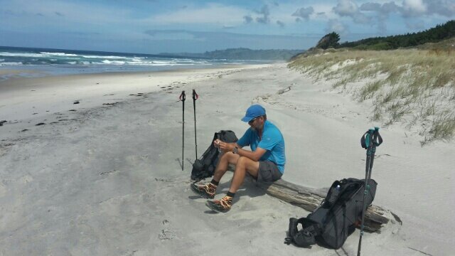 Yay, a log to sit on - afternoon tea. As we ease back into the walk, rest days have been really important. I get the opportunity to have a good long Qigong and Chun Yuen Quan practise and it lets us get to know our surroundings better.
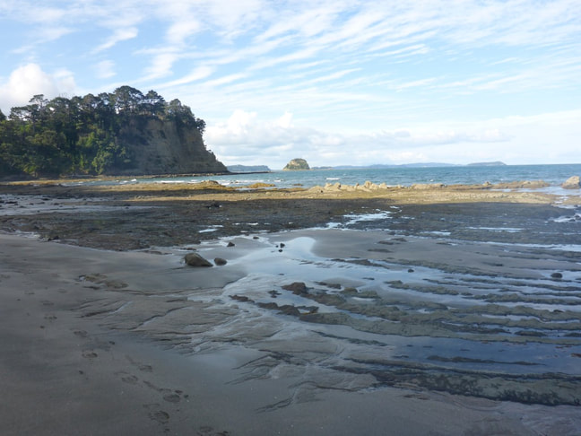
Our first rest day was at Waipu. This is a great little town with a superb museum and it seems to have a strong sense of identity along with a great community spirit. I think it's deep Scottish roots and annual new year Highland Games may have some thing to do with that. Our second rest day was enjoying the sun kissed beach life of Pakiri. What a stunning coastline we have just expetienced. For this posting, my MUI (most useful item) was my rain skirt. Great piece of equipment and don't bother buying one of you want one, use a rubbish bag like Anthony did, works just as well, see earlier photos. The MVA (most valuable addition) to this walk has been including some specific for walking, leg/muscle/joint stretching and moving exercises that my dear friend Zena shared with me. Zena had recently done some hiking in Nepal and these exercises were practised during their hike. Thank you Zena, I believe they have really made a difference:) That's it from me..... into the hills we go! :)B We had a leisurely breakfast with Lorraine and Don before Don took us back down to the Mangawhai town centre. We stocked up on some supplies at the 4Square and headed off about 0955 (genteel start time!). Ended up doing 22.8 km today - currently having trouble syncing the watch with the phone app so link to the gps track for the day may have to come later - if it starts behaving again. Today's walk started with about 6 km of sealed and (mainly) gravel roads to get out to the beach, followed by 16+km of beach (yes - more beach, although it is probably the last significant beach left!), with a little hilly point thrown in the mix somewhere in the middle to break it up! 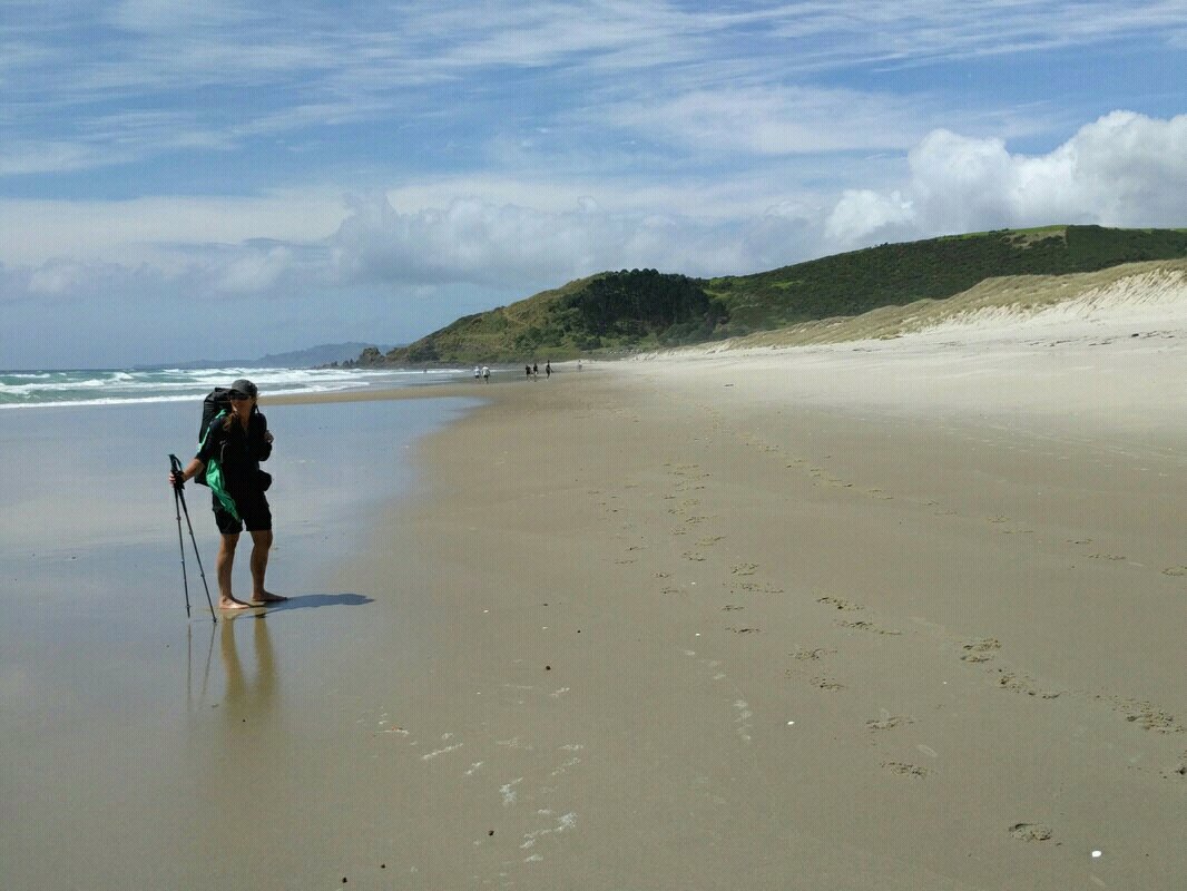 B trying out bare feet for a while. Te Arai Point in background. We got to Te Arai Point about 1230 and stopped for an hour for lunch. There were quite a few people there as it was the last day of Waitangi weekend (Monday). 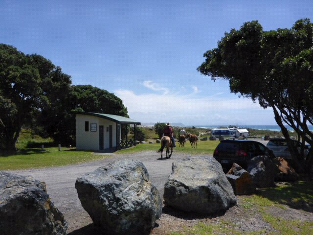 Horses at picnic spot at Te Arai Point 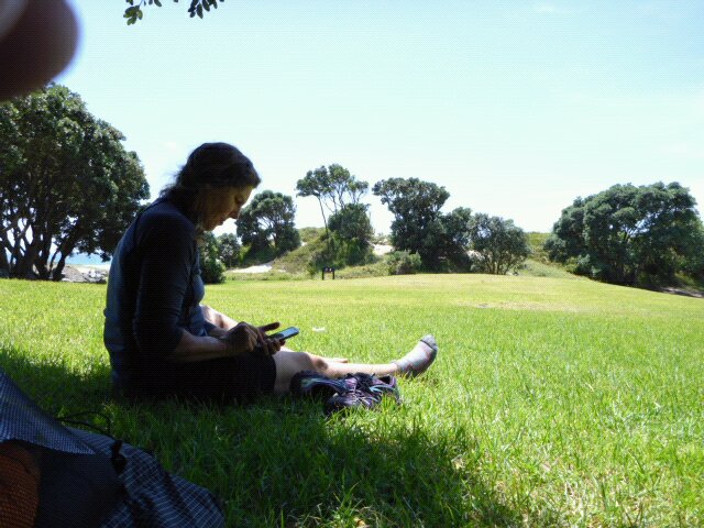 Lunch in shade at Te Arai Point The stop was at the northern base of the point so we started after lunch with a climb over the headland. Not very long but we did need the gps a few times as there were little tracks going in different directions everywhere! 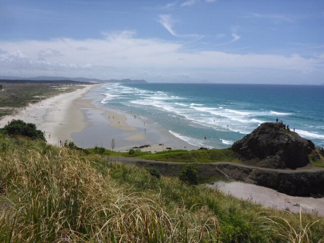 Starting up headland with view heading north 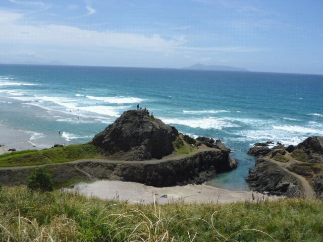 Neat little swimming spot! 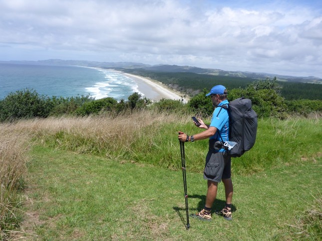 GPS use on top of headland. 11 km of beach still ahead! Having worked our way over the headland and back on the beach, it was head down for the rest of the beach to Pakiri - 11km or so. 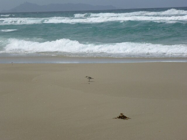 Didn't take many bird photos, but there were heaps!  Lots of scraggly forestry alongside beach  Not far to go! Arrived at Pakiri Beach Holiday Park around 1730. A lovely spot with a river estuary and nice campsite for our tent and good facilities. We thought we might have a rest day tomorrow (Tuesday) but decided to leave the decision until the morning.
|

AuthorBelinda and Anthony (aka Tony) Hadfield made a decision, in their late 50's, to do something a "bit different" and walk New Zealand's 3000km Te Araroa Trail over summer 2015/16 - although updates will now tell you that this plan will take longer now!!. As the old saying goes - "don't leave home 'til you've seen the country"!! Archives
January 2018
Categories |

 RSS Feed