|
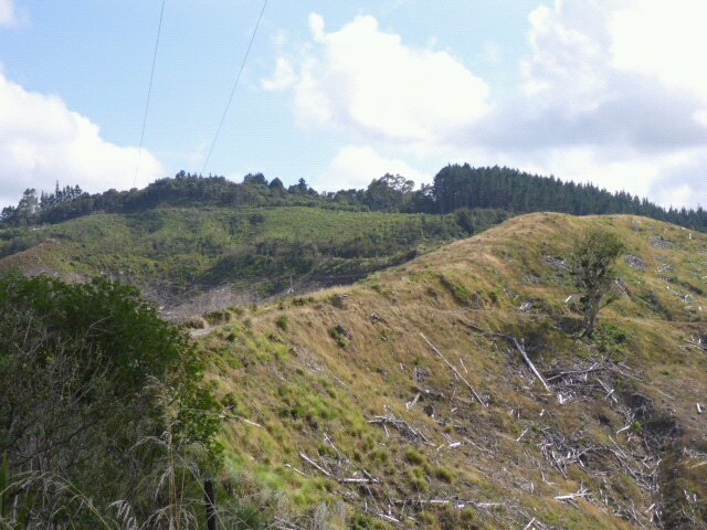
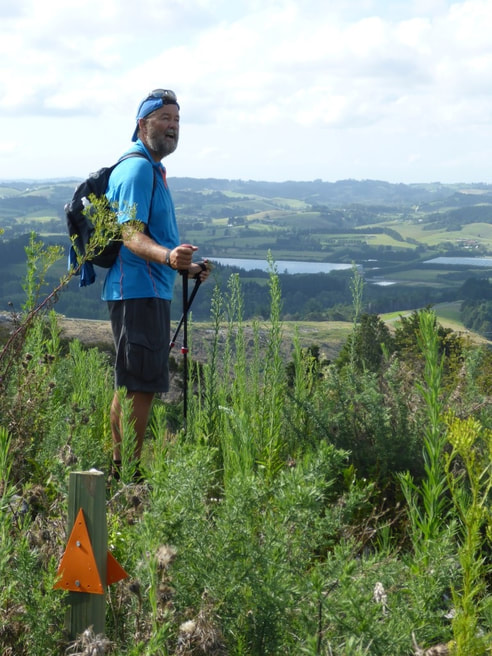
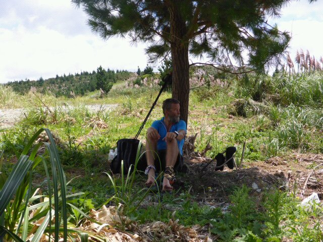
After a nice breakfast (thanks to Mo for the homemade muesli!) we arranged a much smaller load than usual into our borrowed day packs. Grant kindly dropped us back at the Dome Cafe on his way to work, so we eventually got underway just before 0900 (after ducking into the cafe again for a couple of smoothies as a special treat for the day!!), with the hope of reaching Puhoi - although with the backup of Mo picking up up somewhere short of Puhoi if necessary. The link to today's gps track is here. We ended up making Puhoi at almost 28km in fairly hot sunny weather. We headed straight across SH1 and up Kraak Rd - mainly metal - which lead onto a forestry road. This took us from about 200m asl to around 300m asl. We then headed mainly down through some native bush (DoC's Smyth Reserve) then back into some felled forestry with small gorse to wade through. This eventually led us to down to Smyth Rd after having cover about 4.5km so far. Smyth Rd continued to descend until we go down to Kaipara Flats Rd at around 50m asl.
From there is was about 4.5km of mainly road walking with a small amount of gradual uphill. In the middle, though, is a short (500m or so) section that goes through a private property. We stopped and had a pleasant chat with the owner (English originally) and thanked him very much for the use of his land to help out TA walkers! At the end of that 4.5km section we started a much steeper climb up another forestry road that would eventually get us up to Moir Hill at 357m asl. i.e. another 300 or so vertical metres from the main part of the previous road walking section.
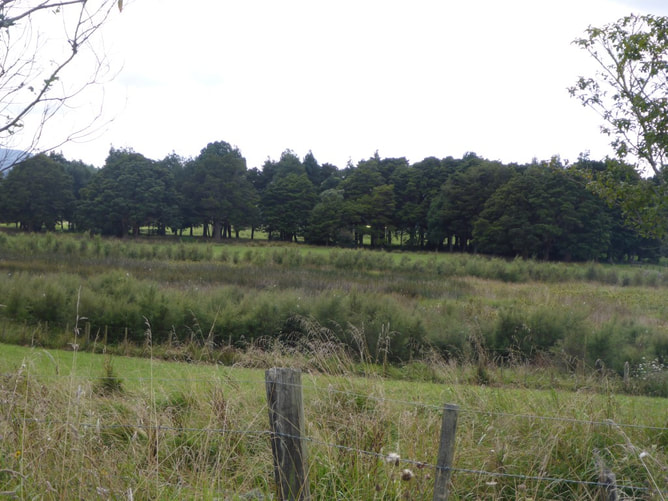 Lots of fenced wetlands/riparian strips - great to see.
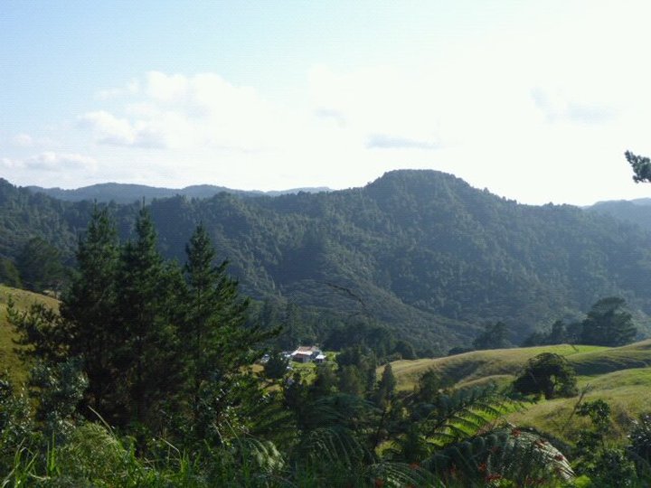
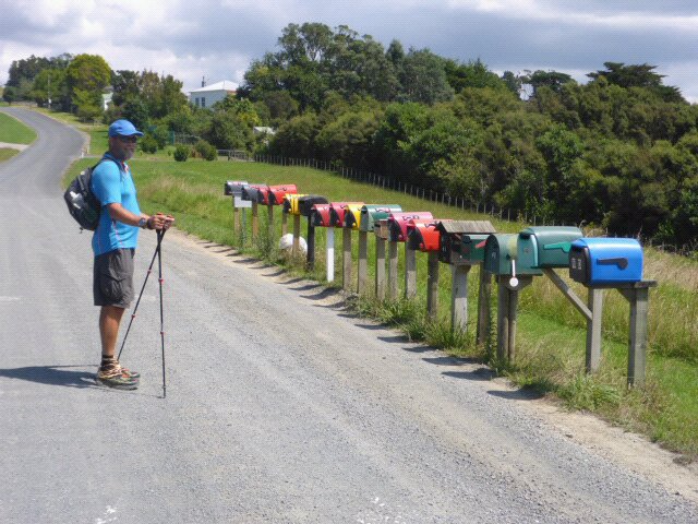
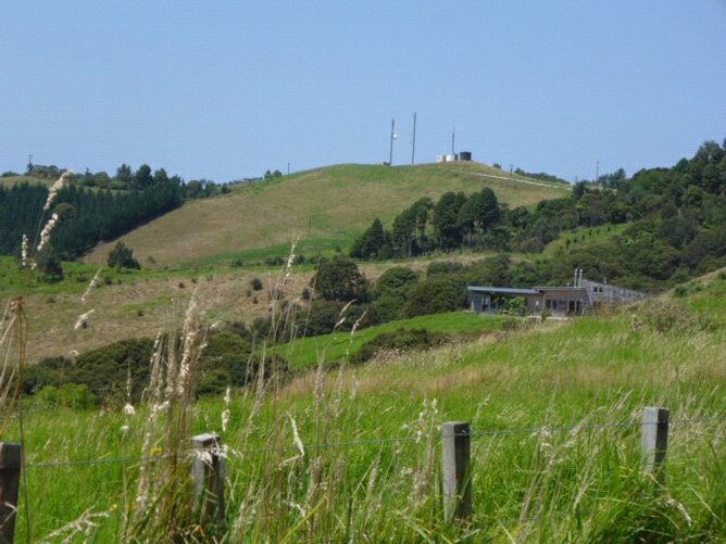 That's Moir Hill upwards and ahead Once at Moir Hill we headed down through a little bush and on a 4WD track. Another short stretch of road walking (sealed) and up through a rural residential subdivision. We did notice that ordered numbers and consistent design of letterboxes was not part of the deal for this particular subdivision!!
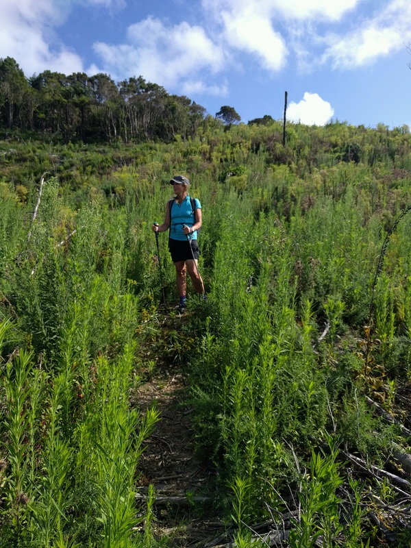
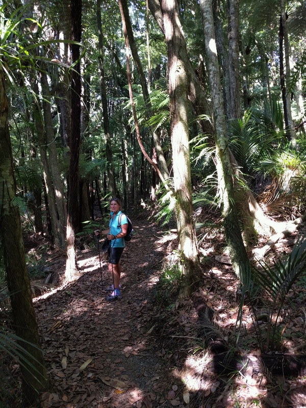
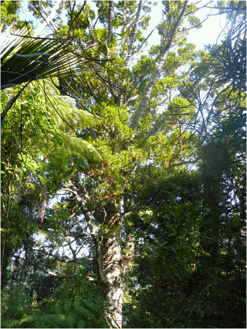
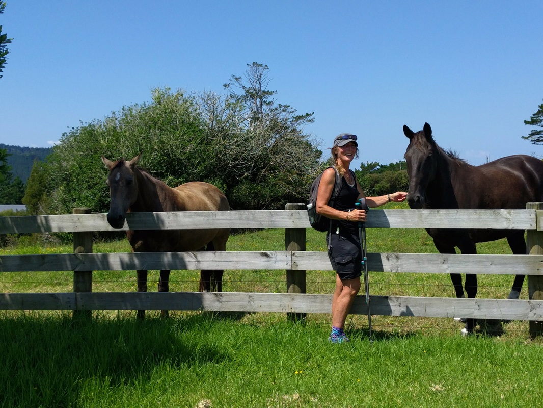 Horses on the subdivision 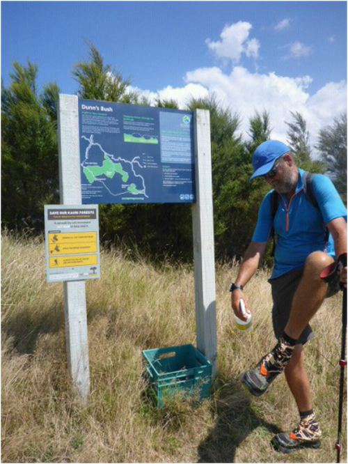 Cleaning and disinfecting shoes - kauri dieback disease prevention measure. We then turned off the subdivision into a bush track - here we came across our first disinfectant station at a track terminus - aimed at helping prevent the spread of kauri dieback disease, which is playing havoc with the kauri population in the north. So we, of course, scrubbed and sprayed!! This track led into a QE2 covenanted piece of Dunns Bush, then it was down a mixture of farm tracks and fence lines to the end of this section - with only the 5km Puhoi Track left to go. 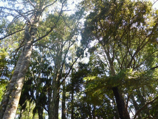 A bit of Dunns Bush. Kauri, nikau, totara etc...... 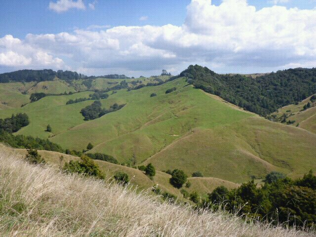 Some of the nice hill country around Dunns Bush. Belinda was fairly pooped by now but we decided that we could manage the last 5km OK as it didn't appear to be too much "up and down". As the gps track shows, it ended up that we did another 100m up, 80m down, 80m up and finally 130m down to Puhoi!!! Not quite as easy as we had thought from the contours on the Topo50 maps - closer inspection required in future!!??. Anyway, we survived.
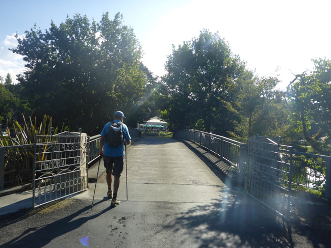
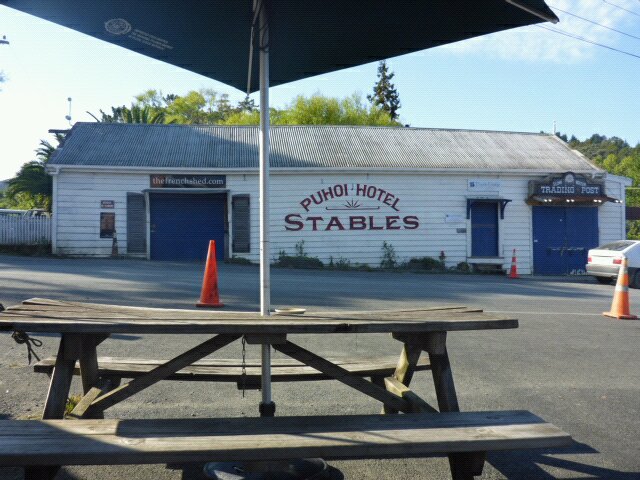
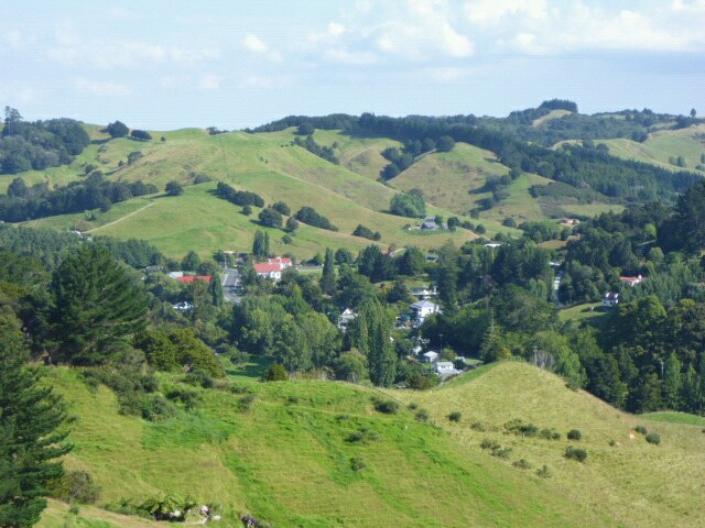 Last but of Puhoi Walk down through farmland and bush We eventually finished at the kayak place (where we would start the next day) at around 1630 from memory and then swiftly walked back to the famous Puhoi Pub, where we settled down for some lemonade (lots for B and a little for me) and some Czech Pils (lots for me, very little for B in her lemonade!!). We rang Mo and Grant, who came out and joined us. We decided to stop there for dinner (and a few more drinks of course) and had a very pleasant evening. Amazing how one can pack away the food and drink after a long exertion on a sunny day :-) Then it was back to Mo and Grant's for another comfy night's sleep
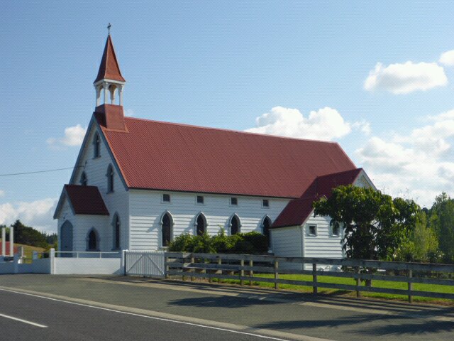 Puhoi church
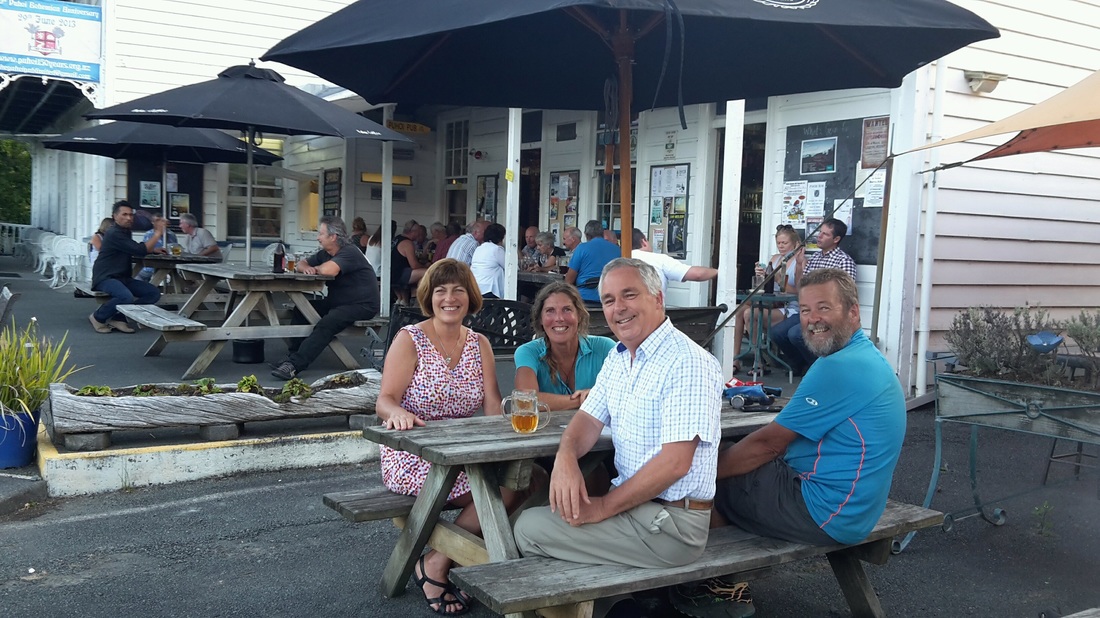 Mo, Grant, B and I enjoying a convivial brew (and/or lemonade!) before dinner.
0 Comments
Leave a Reply. |

AuthorBelinda and Anthony (aka Tony) Hadfield made a decision, in their late 50's, to do something a "bit different" and walk New Zealand's 3000km Te Araroa Trail over summer 2015/16 - although updates will now tell you that this plan will take longer now!!. As the old saying goes - "don't leave home 'til you've seen the country"!! Archives
January 2018
Categories |
 RSS Feed