|
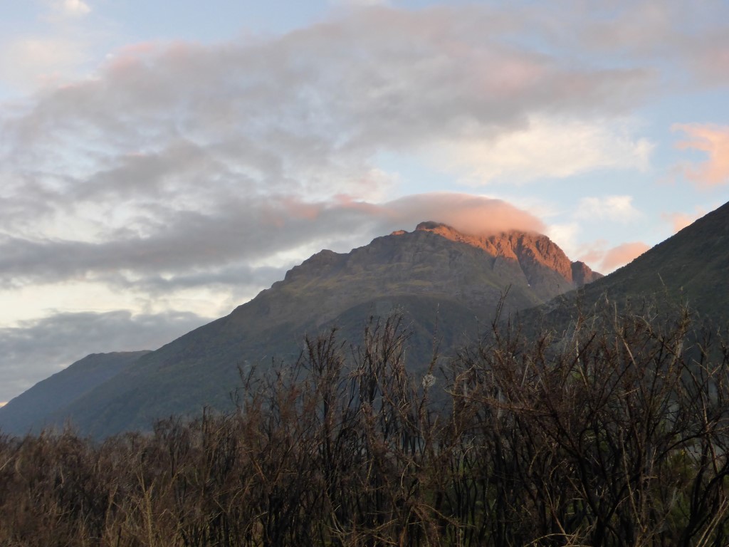
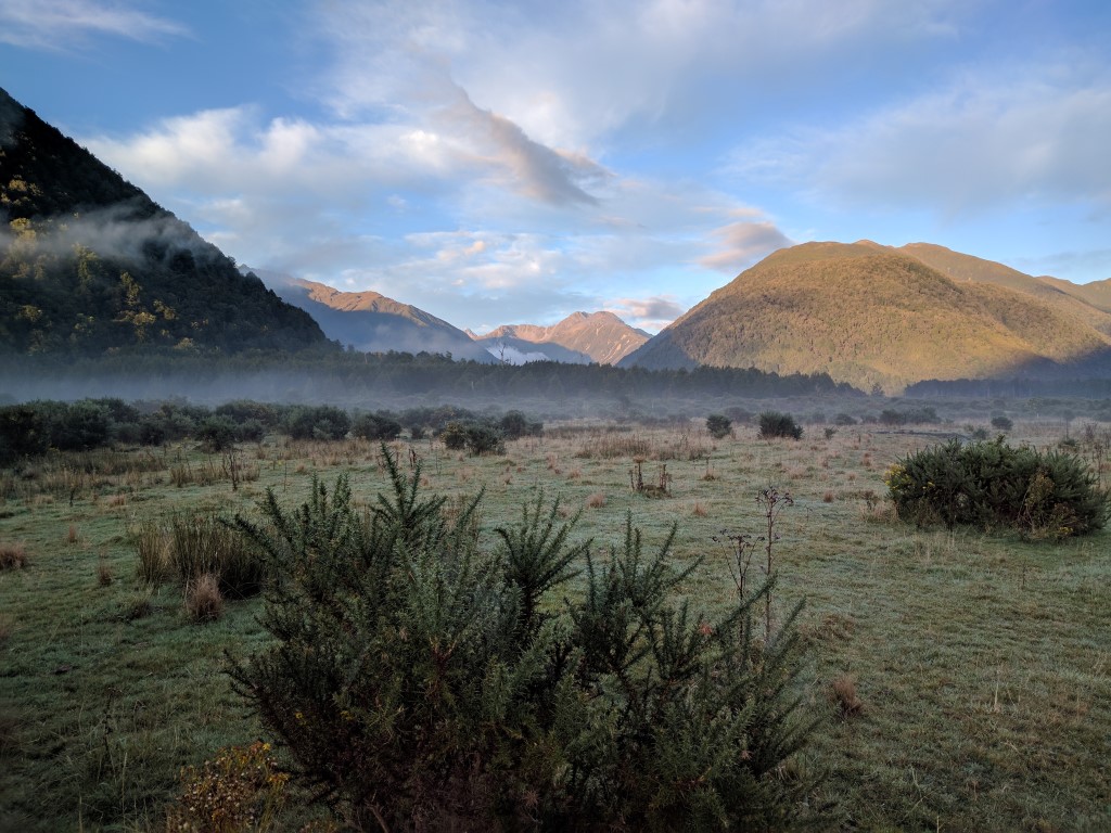
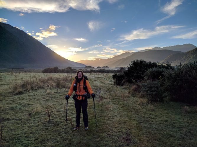
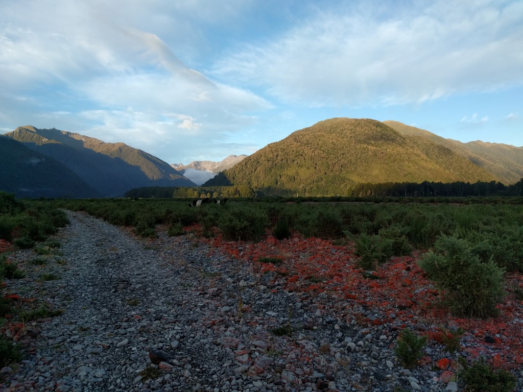
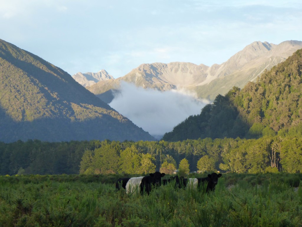
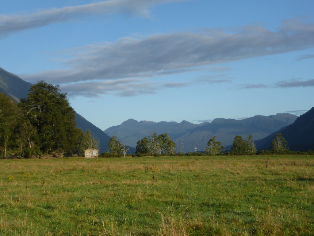
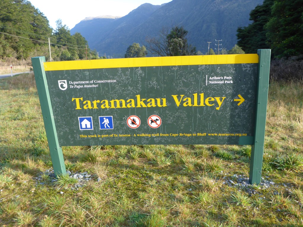
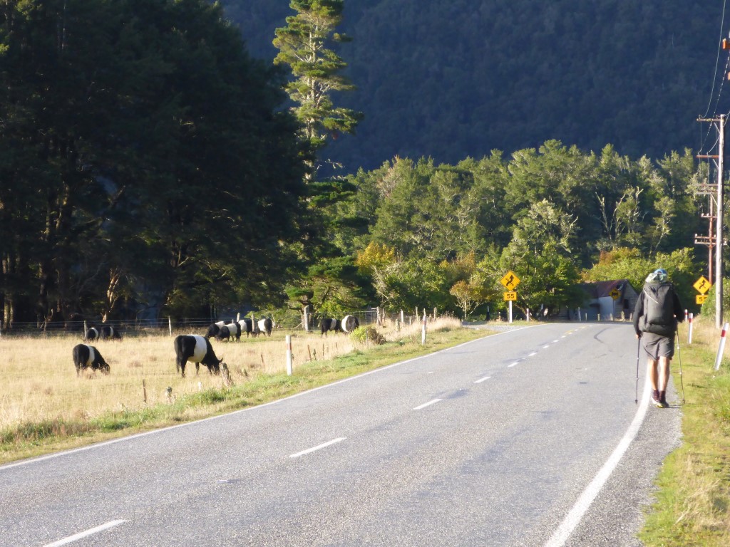
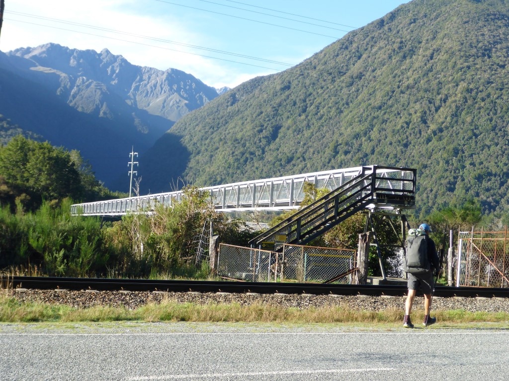
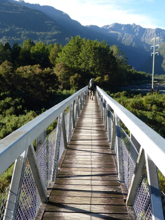
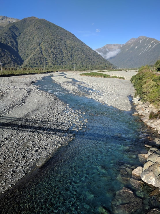
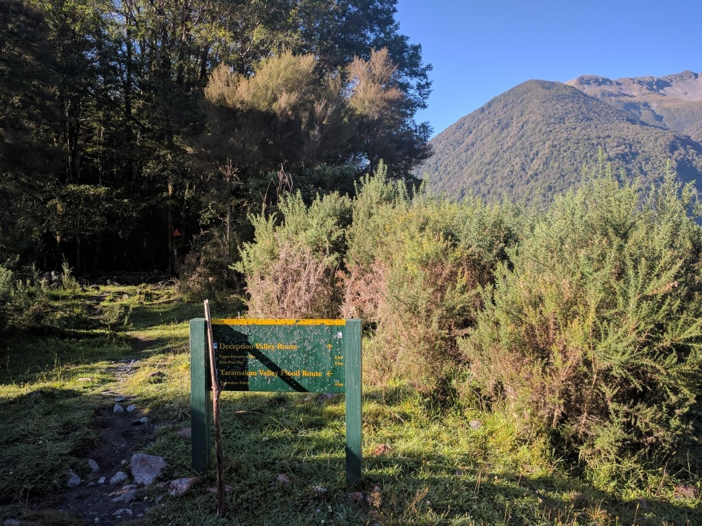
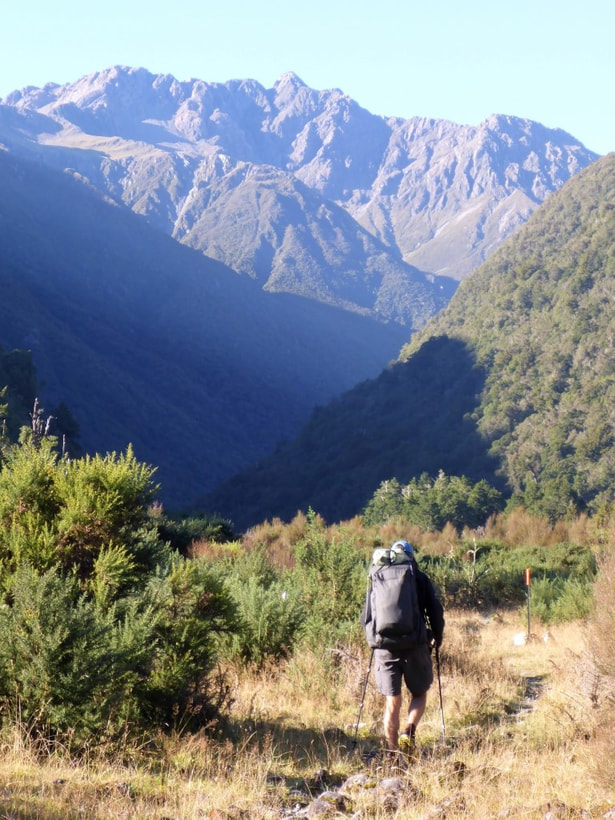
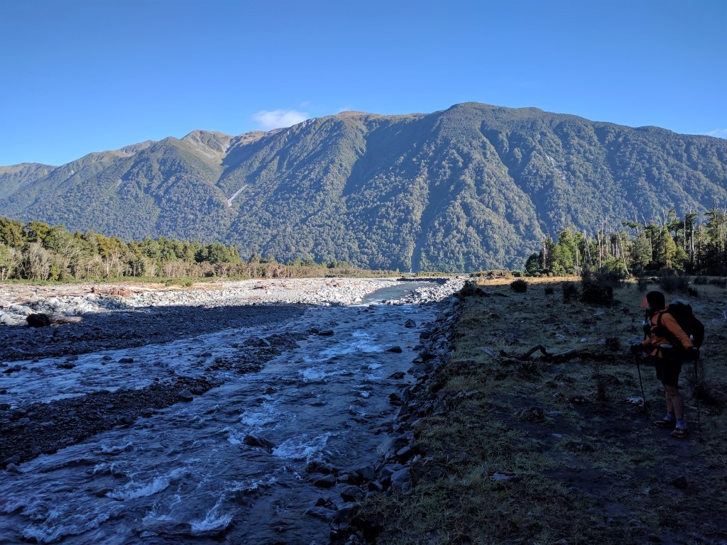
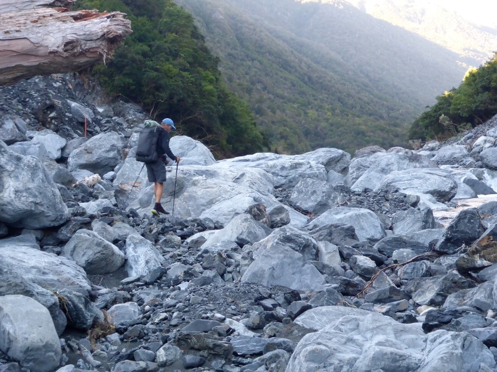
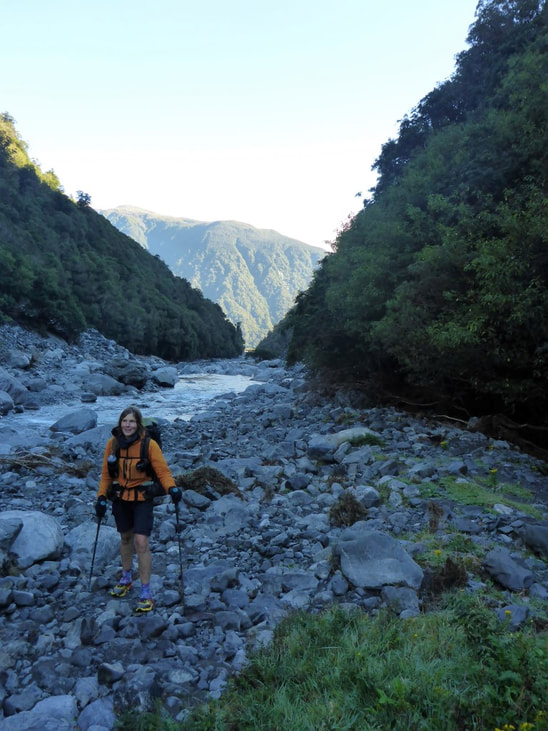
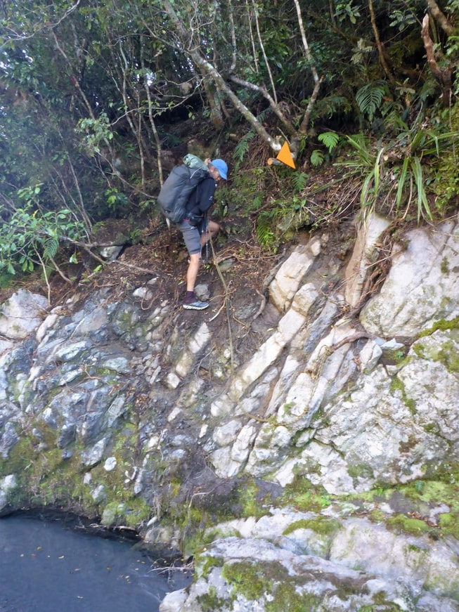
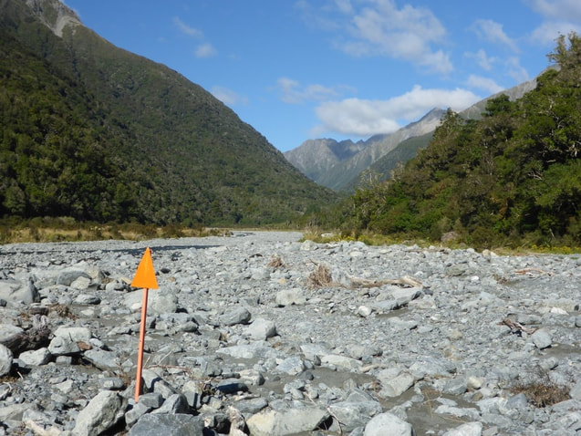
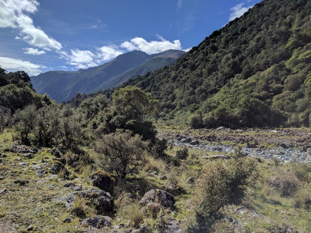
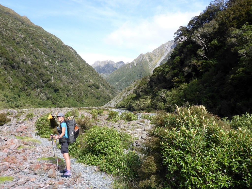
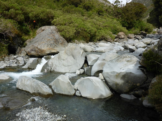
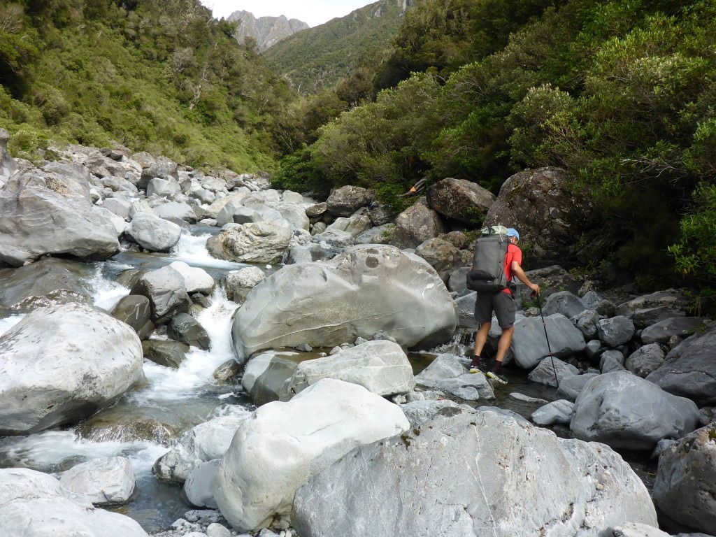
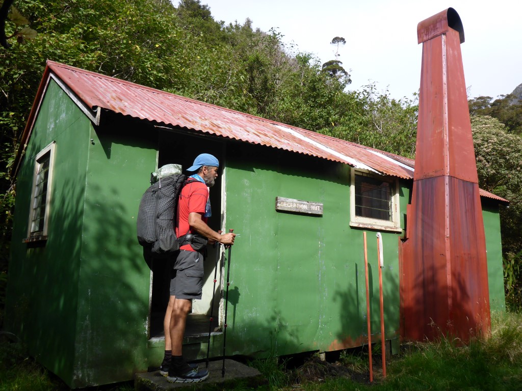
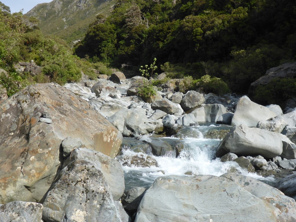
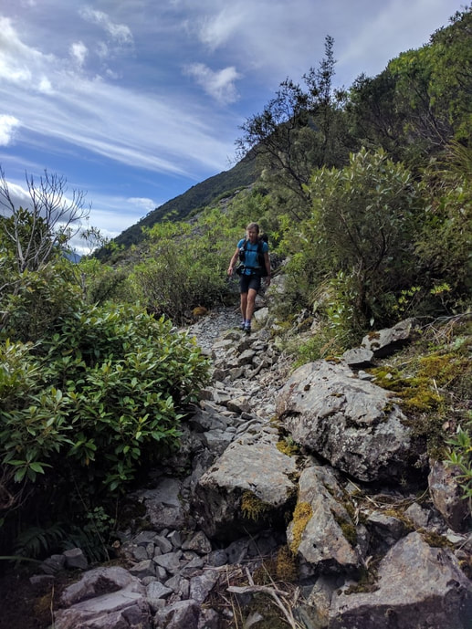
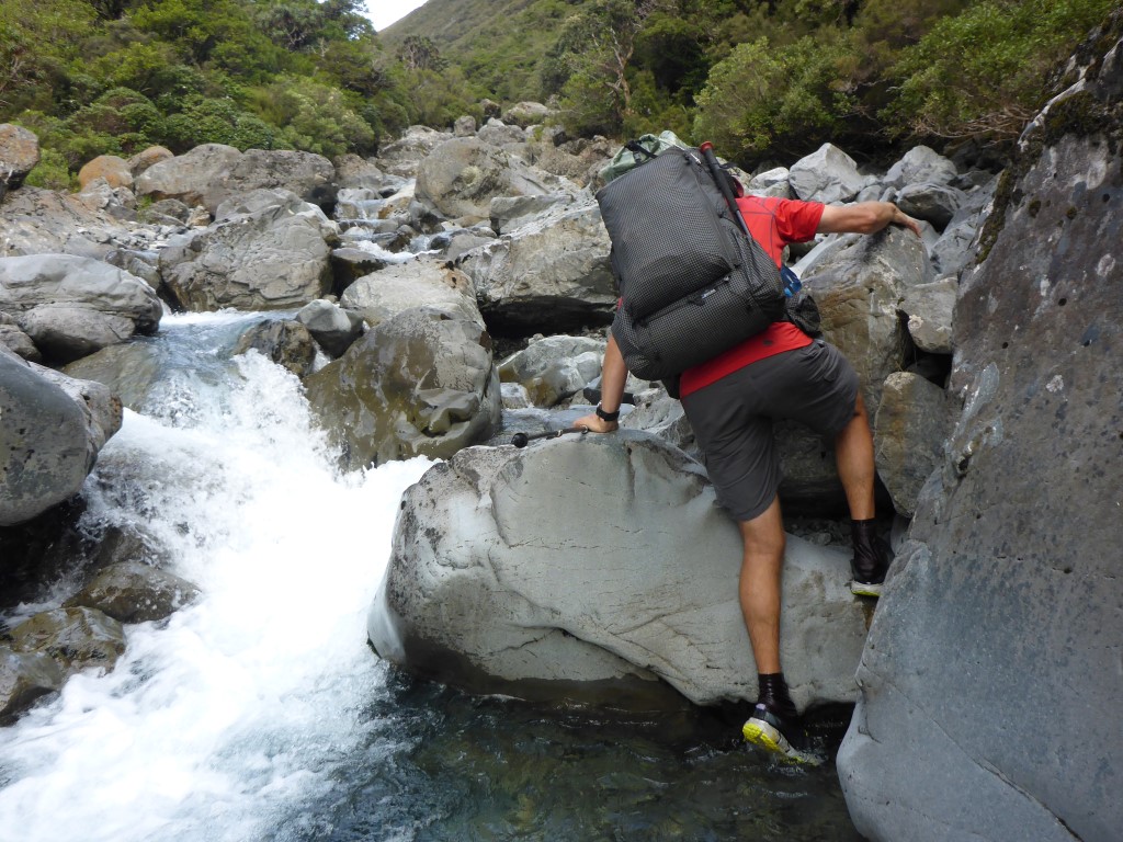
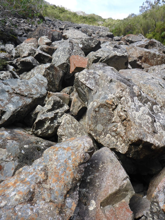
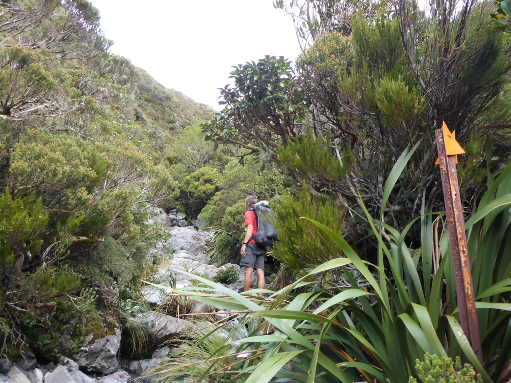
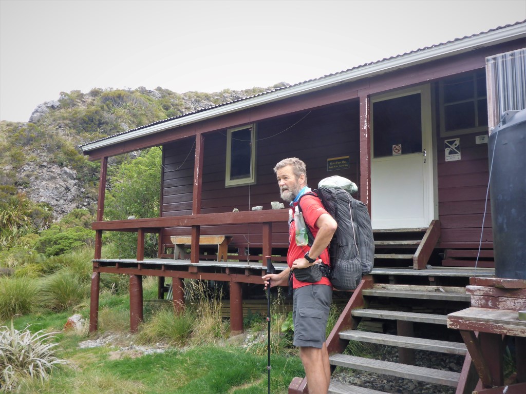
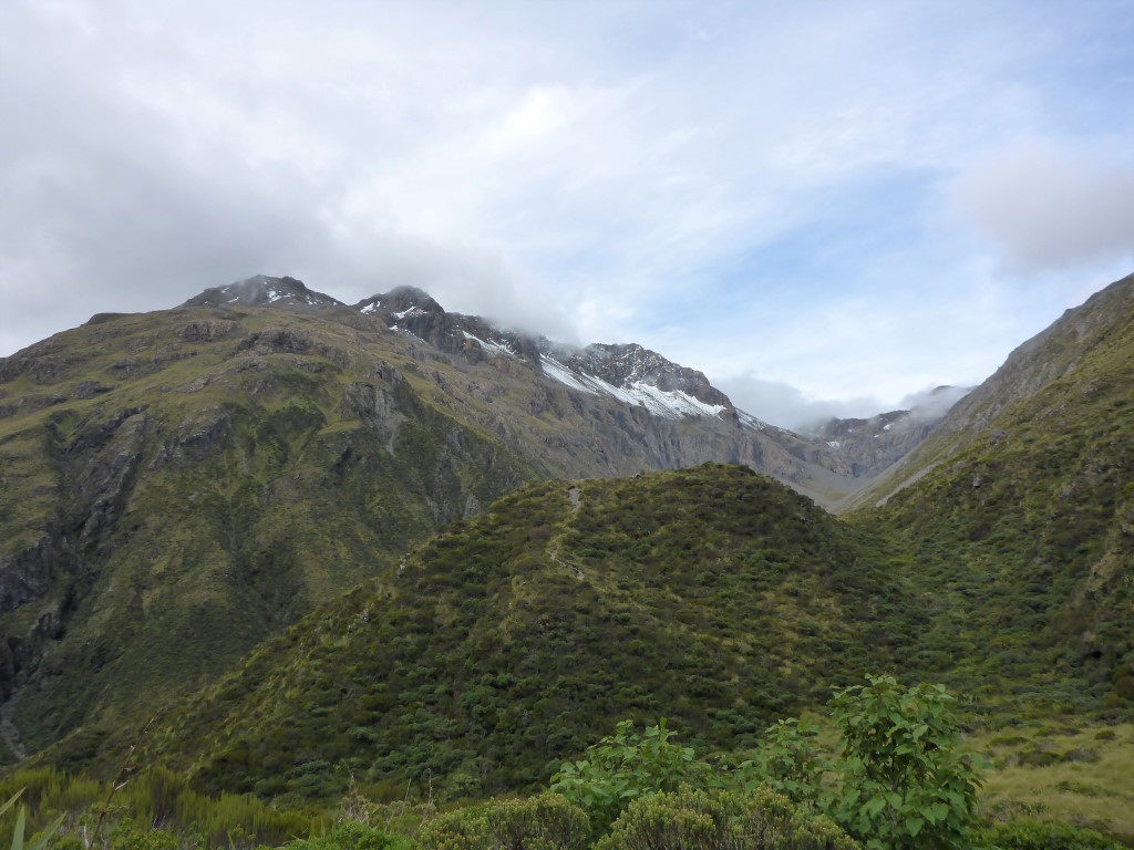
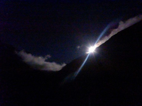
Left our campsite at 0640, to give ourselves plenty of time flexibility for the day, and arrived at Goat Pass Hut around 1615 after 24.1km. The trip from Morrison's footbridge to Goat Pass Hut only took us 6h15 walking time - although around 7h15 including our smoko and lunch stops. The DoC sign at Morrisons Footbridge allows 9 hours and TA allows 8-9 hours for the 18.5km - interestingly the Suunto puts it at 16km only. GPS for the day is here. After packing up we headed down what was mainly an old vehicle track on the rocks. This included a number of wet foot crossings before we hit the point at which the Flood Track (colloquially known as the Blood Track!!) heads up the Otira, after about 3.5km. We had already decided to cross the Otira to the Aickens carpark and head up the road about 3km to Morrison's footbridge rather than tackle the Flood Track (or an alternative walk up the river). The crossing of the Otira was fine (around three braids to cross separately a bit upstream of the confluence) and we arrived at the road/carpark about 0800, after 5km. We had a short break here and then it was off up SH73 to Morrisons. As we were exiting the carpark I noticed a Samsung phone lying in the gravel with a cracked screen (assumed it had been run over). Surprisingly it was still working, so I stuck it in my hip pouch to see if I could find the owner later. We crossed the substantial footbridge back over to the true right of the Otira and set off up the Deception River valley. It was 0900 at this point and we had covered almost 9km in 2h10. We walked on up the initially fairly gentle climb in a wide riverbed (photos tell the story) before stopping for lunch at 1200 as I was feeling like an energy boost! At this stage we had been going 3 hours in total, and covered almost 8 km, since the bridge, so happy enough with progress over what was not the fastest terrain. A lot of rock hopping in the wider riverbed and lots of wet foot crossings back and forth were involved in this phase, after an initial bit of bush walking. There were some further short patches of bush walking but really only where the river was difficult to navigate (usually steep sides and deeper pools of water) and they took you up and around the tough spot! Included in one of these diversions was a rope assisted 5m drop from bush back into the riverbed (photo provided!). Setting off after our lunch break, it wasn't all that long before we were into some of the larger boulder hopping that you often see in coverage of the Coast to Coast race! It also involved more river crossing and occasional walks up the river itself. The track goes directly past (Upper) Deception Hut so we stopped there briefly for a snack and to fill in the hut book. Then it was off for what turned out to be a 1h40 hike up to Goat Pass Hut (in this case DoC suggested 1 hour - they must be kidding!) - it’s only 2km, which indicates that it is tough going! We had a chat and decided, for the first time, to pack our poles away as the size of some of the boulders meant you were doing more climbing involving handholds than hiking! In fact, after some of the more serious boulders were behind us we reverted to one pole each as a compromise! The track became even more serious boulder hopping as the Deception River narrowed and rose. We meet a young kiwi lass who was hiking this section of TA with her dad. Later we meet an older kiwi from Chch who had come for a day walk, from Morrison's footbridge up to Upper Deception Hut and back again. For the last stretch of 500m or so, we left the Deception River and headed up another stream. We misplaced the track a little here - after climbing a steep little face it wasn’t clear which way to go (about km 23.64 on the Suunto track) and we headed a little left and downhill, coming to a narrow and somewhat overgrown creek (about km23.68). However, a check of the GPS suggested we could head up the creek and we should be right! Sure enough, after 40m of clambering up a narrow stream with low overhanging vegetation, involving lots of ducking and a few swear words from me, we came across evidence of the "track" (about km23.71). I say track, but that is overstating it really - this last bit involved more rock hopping up the actual narrow creek, so not very fast at all. The TA notes say “There is a final steep climb over rough terrain to get up to the Goat Pass Hut” - that about describes it! We finally saw the aerial on the top of the hut (DoC has a radio installed in this hut), although it seemed to take a while for the hut itself to appear! We were a bit weary and working hard by now, so neither of us was much into taking photos on this last bit - so the pictorial record is scanty!! Belinda had got pretty cold in the latter part of the day after all the water work and so got changed into warm clothes and hopped into her sleeping bag for a while to get her core temperature back up (no fire in this hut - wood would have to be flown in as it is only light scrub around here). I had done something to my ankle earlier in the day which meant I was a little sore (the right knee was aching a bit as well!) and Belinda's knees were also feeling it a bit - there has been a lot of uneven ground (rock/boulder) walking over the last few days and it may be starting to take its toll. Soon after we got here, 3 others arrived: Mikey from the Netherlands was here briefly before setting off for Upper Deception Hut; Nicholas from France is TA nobo; and Jakob from Germany is on a two day hike from Arthur's Pass to Morrison's footbridge and then hitching back to Arthur's Pass. Then at about 1800 Jeremey and Constance from Sydney arrived. They are hiking and packrafting a traverse of the south island - very interesting young couple! So six of us in the 20-bunk hut tonight - we gather the weather isn't too bad tomorrow so we will be in no rush to leave as we are only going to the Bealey Hotel on SH73 which we expect might be a 5 hour walk or similar :-) It was pretty cold this evening although there was a lovely moonrise over the hills to the east.
0 Comments
Leave a Reply. |
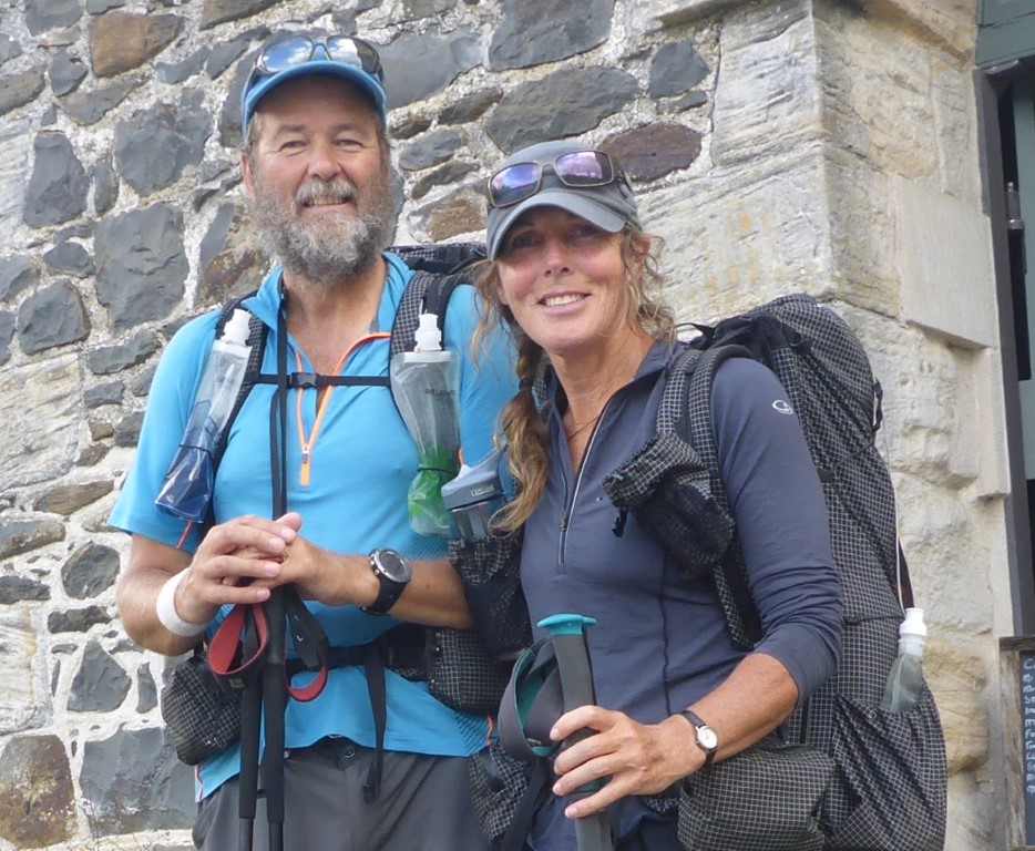
AuthorBelinda and Anthony (aka Tony) Hadfield made a decision, in their late 50's, to do something a "bit different" and walk New Zealand's 3000km Te Araroa Trail over summer 2015/16 - although updates will now tell you that this plan will take longer now!!. As the old saying goes - "don't leave home 'til you've seen the country"!! Archives
January 2018
Categories |
 RSS Feed