|
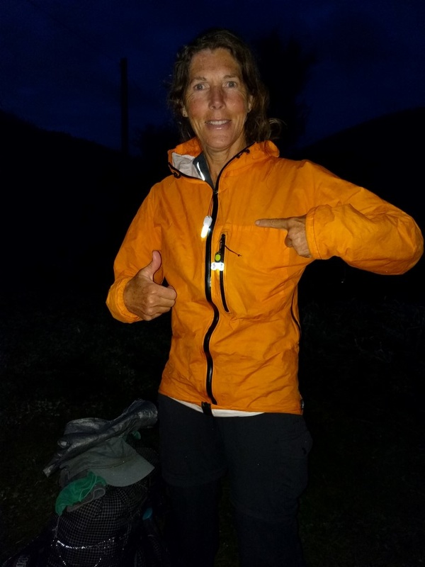
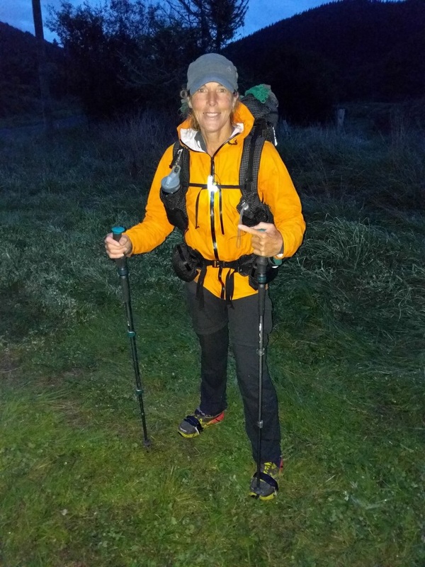
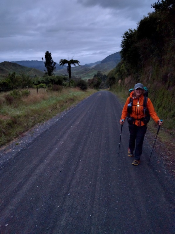
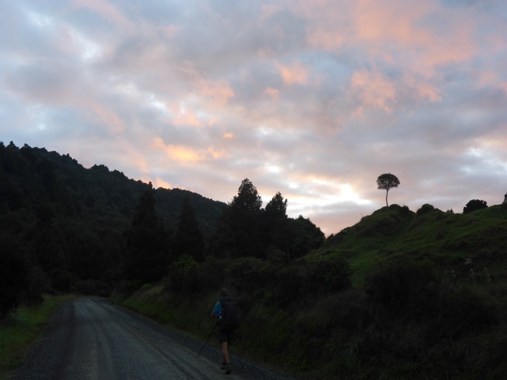
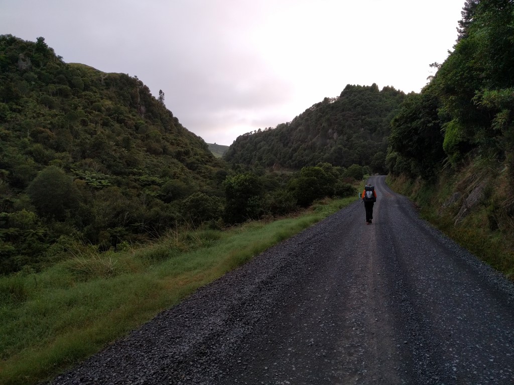
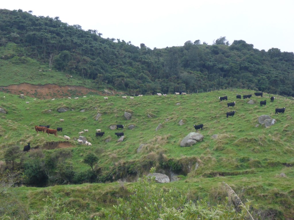
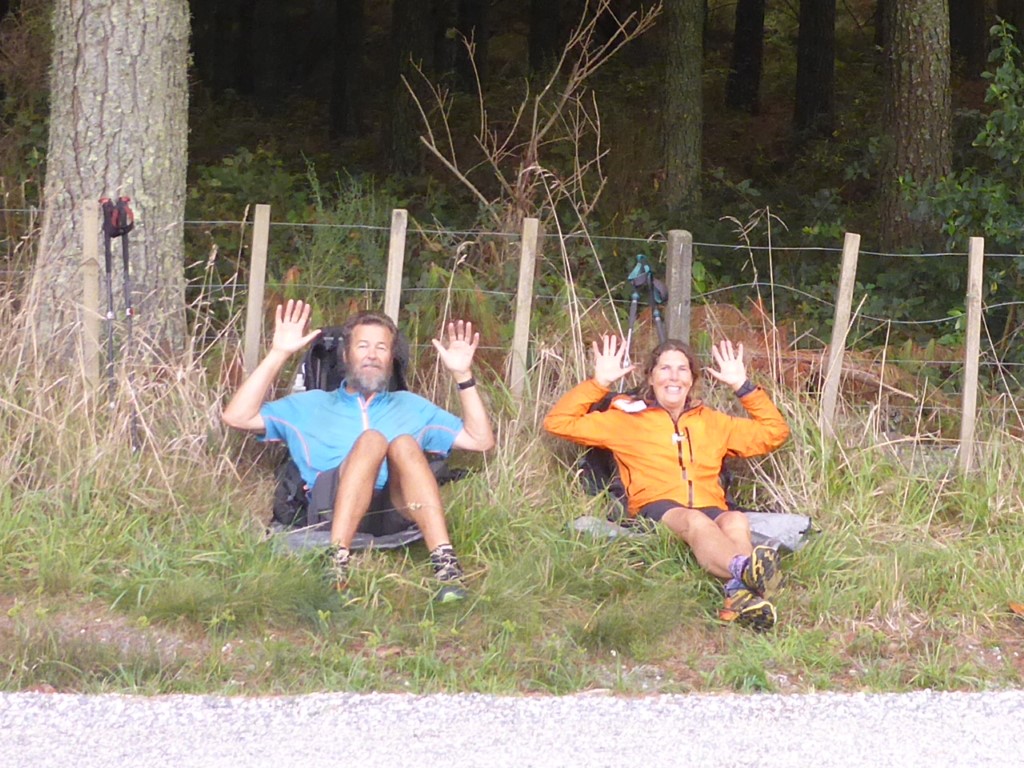
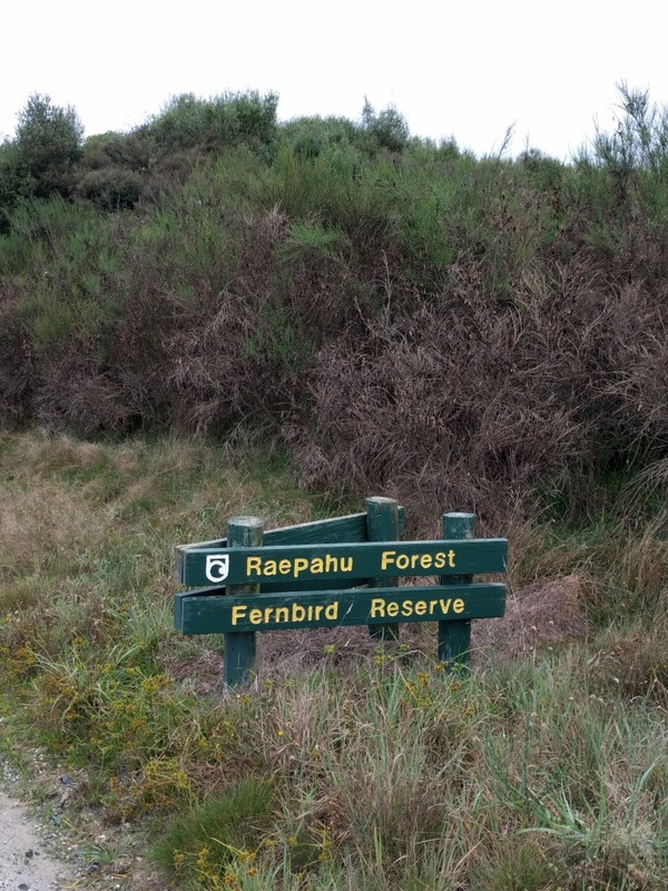
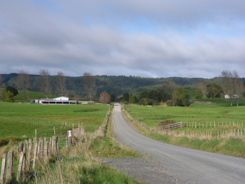
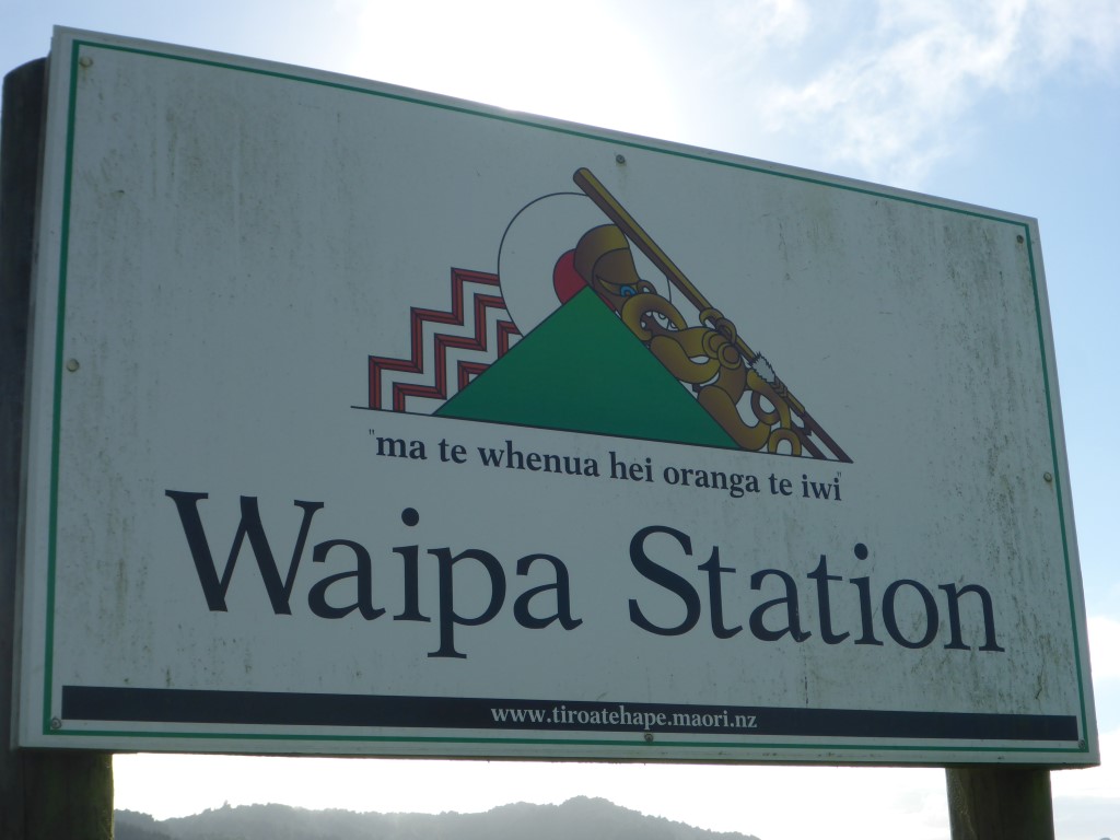
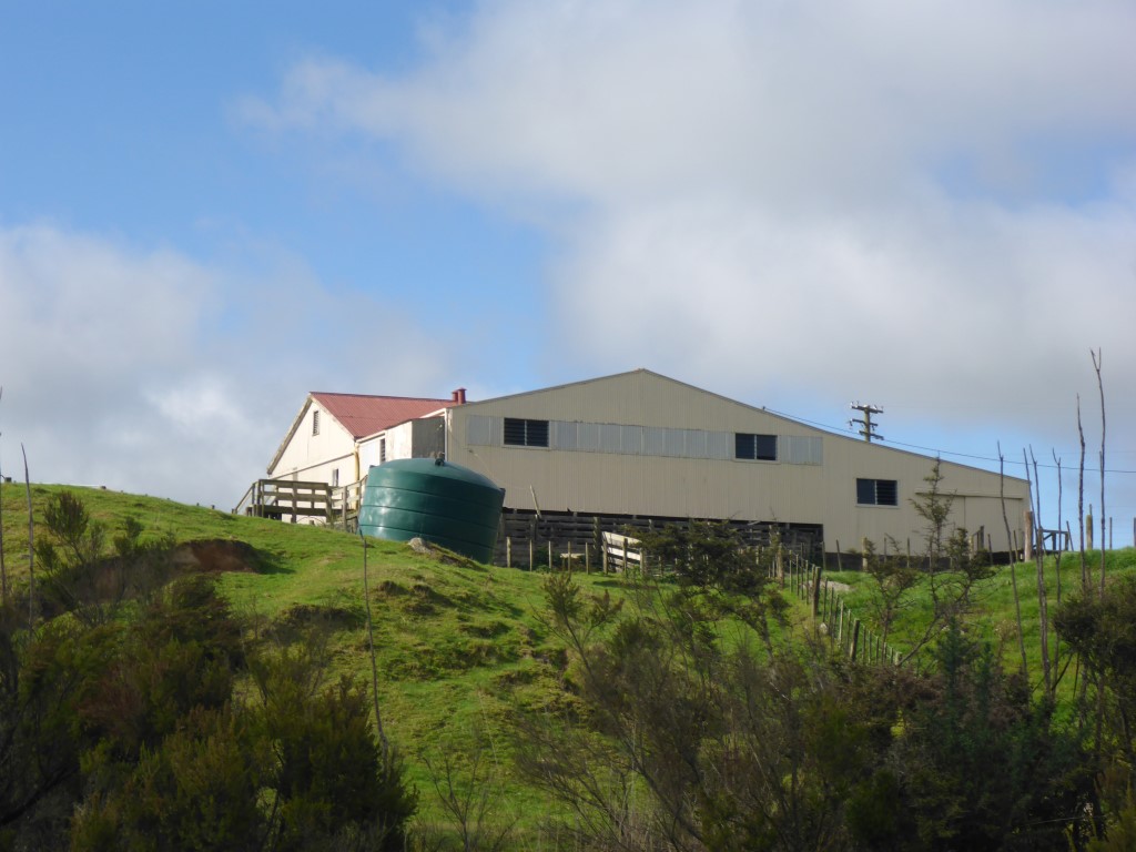
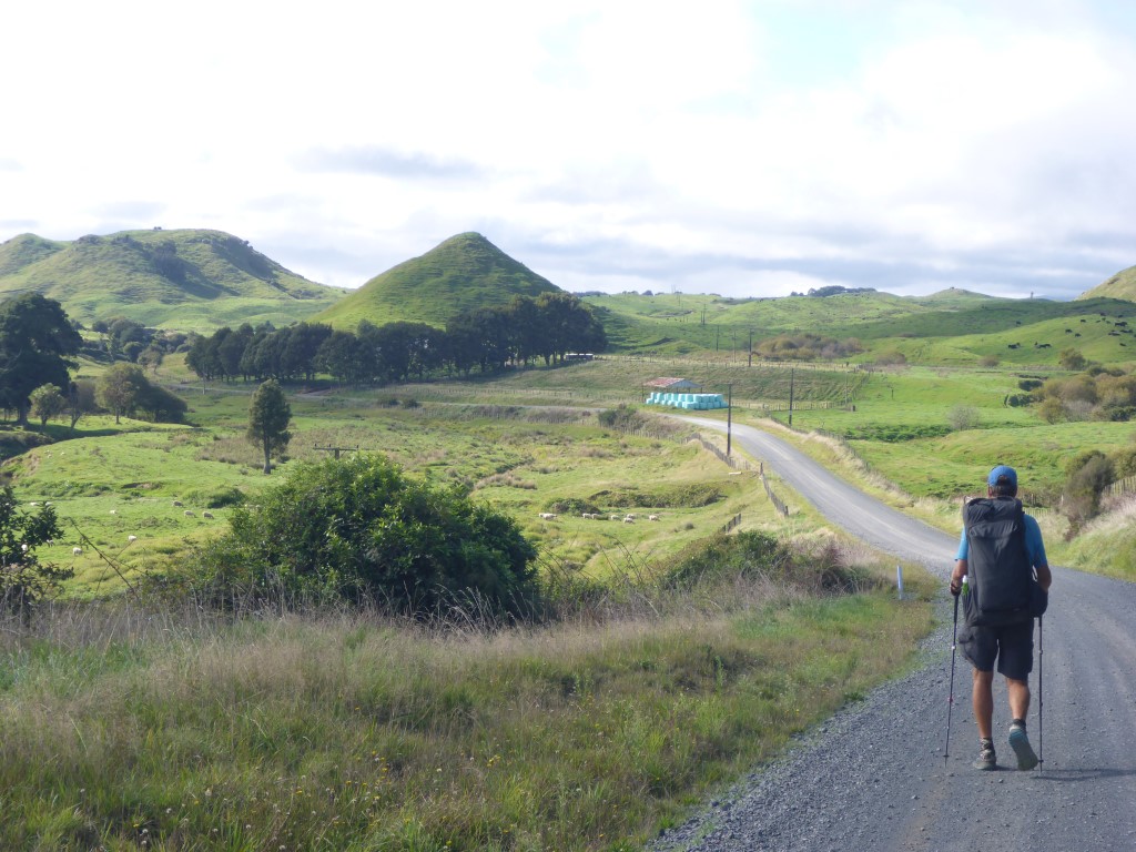
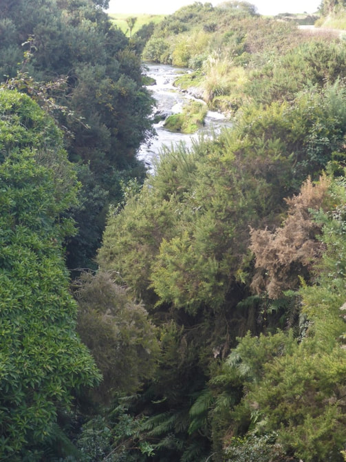
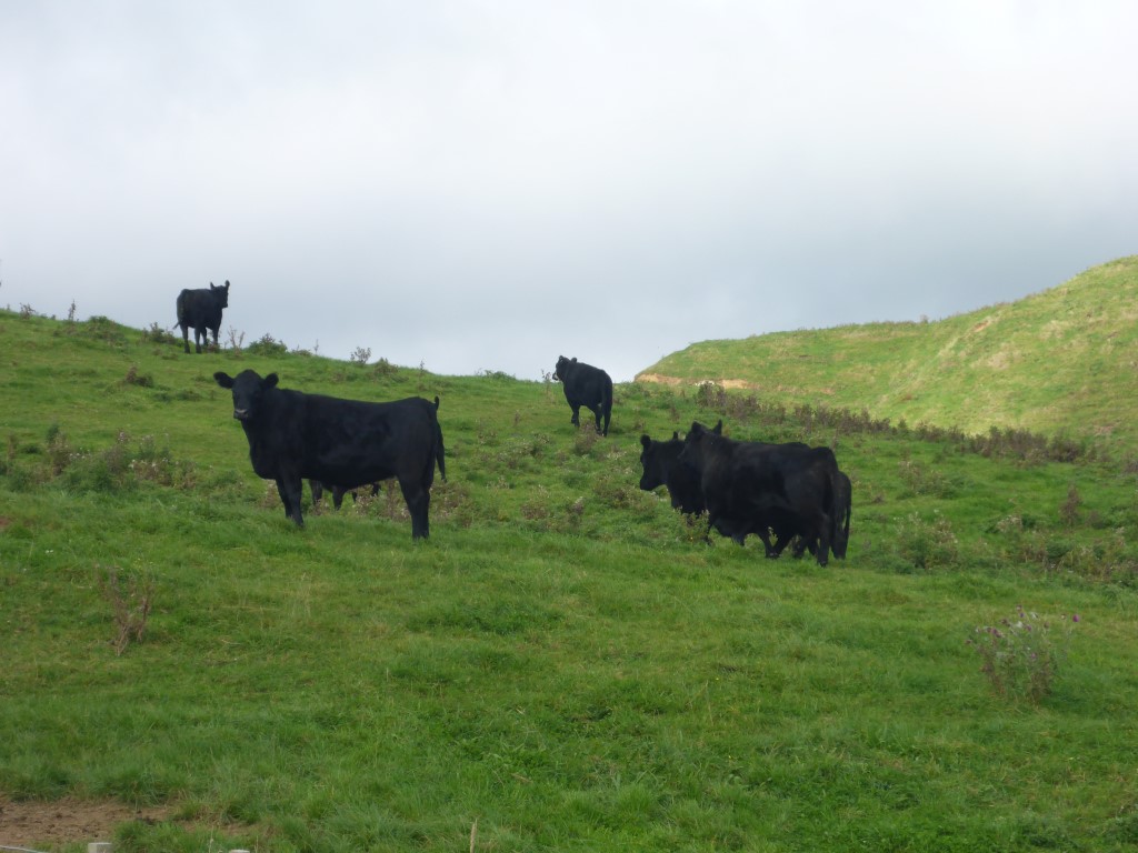
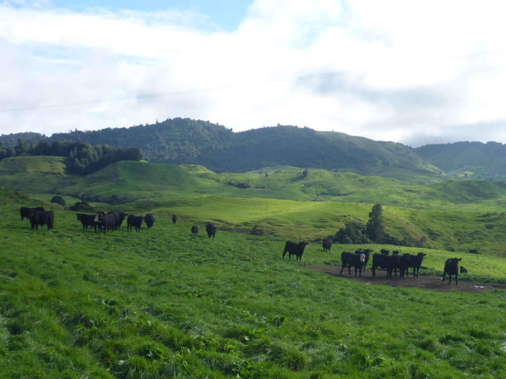
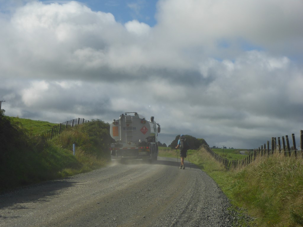
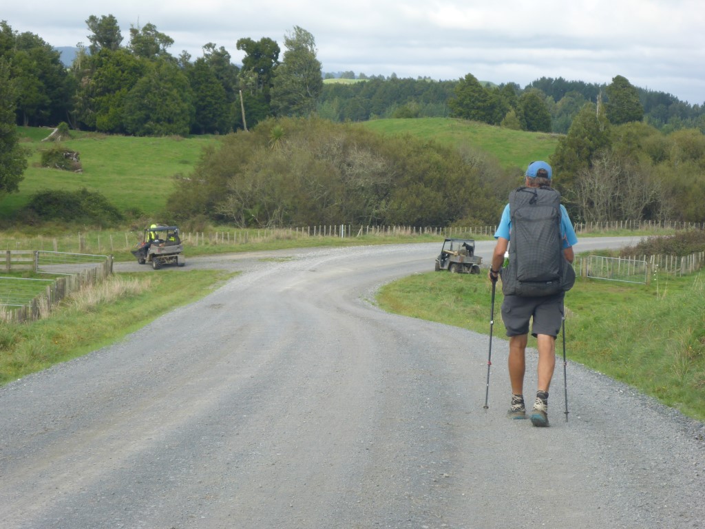
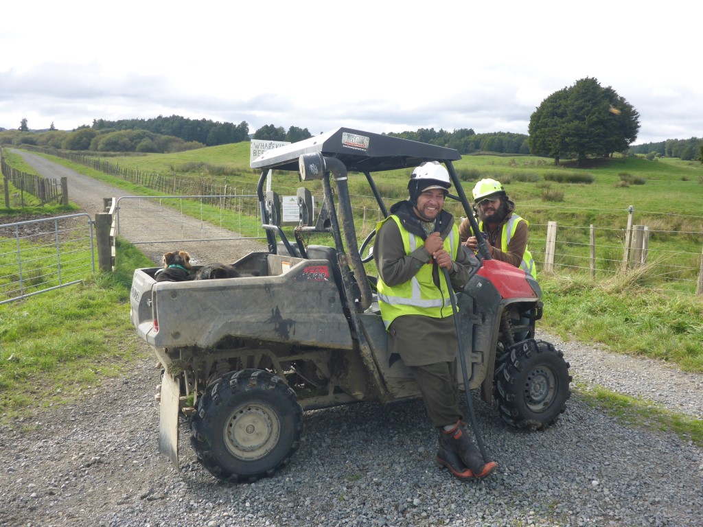
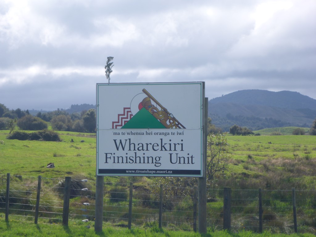
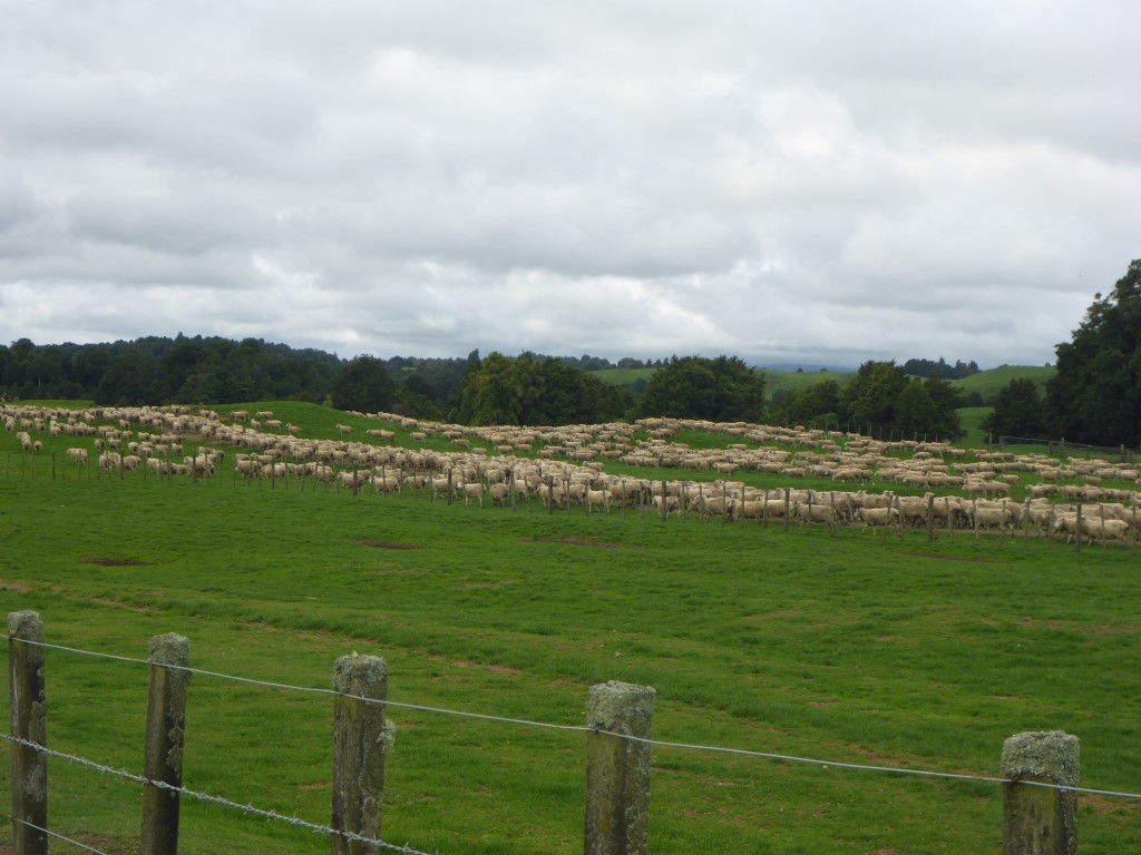
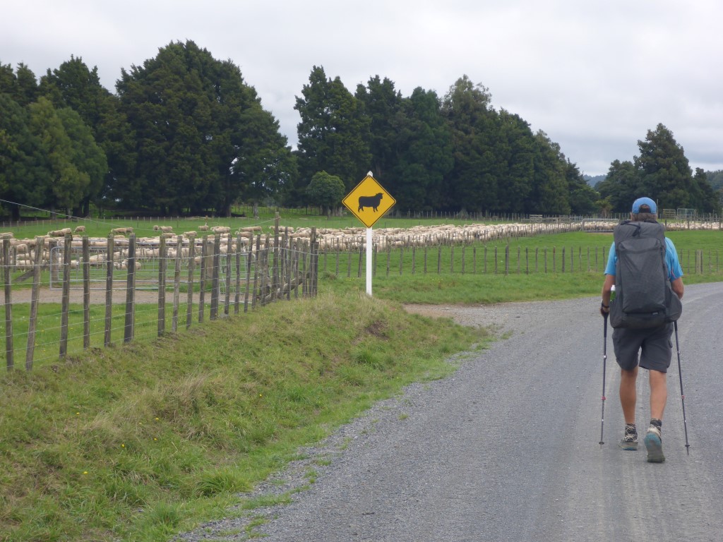
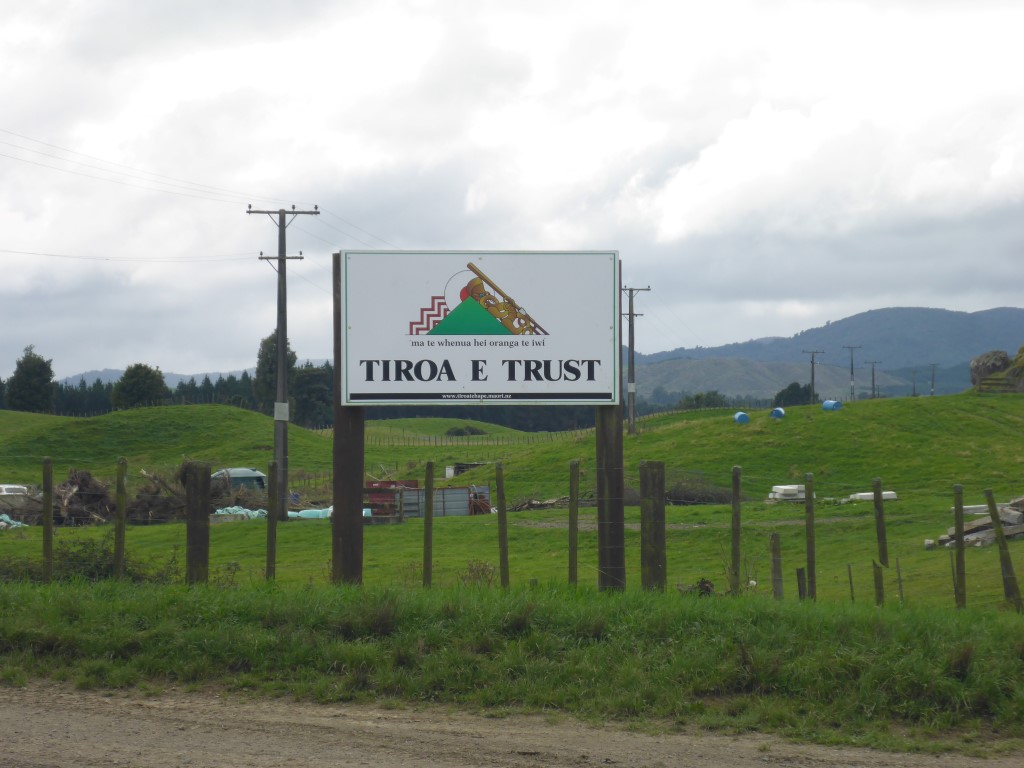
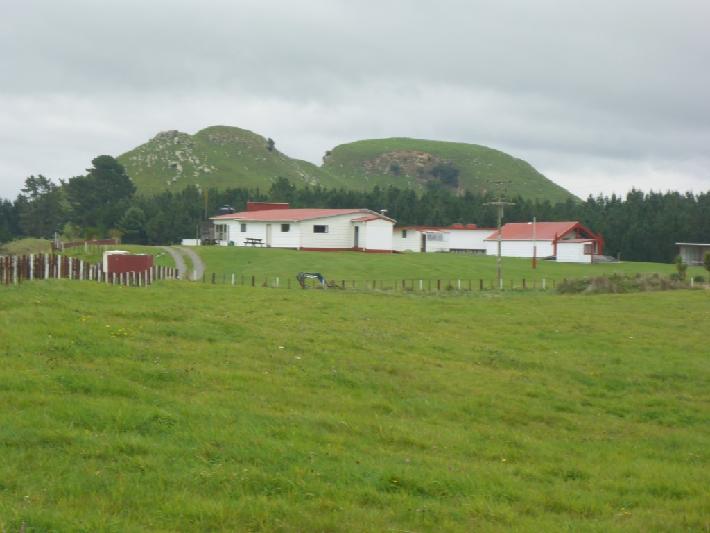
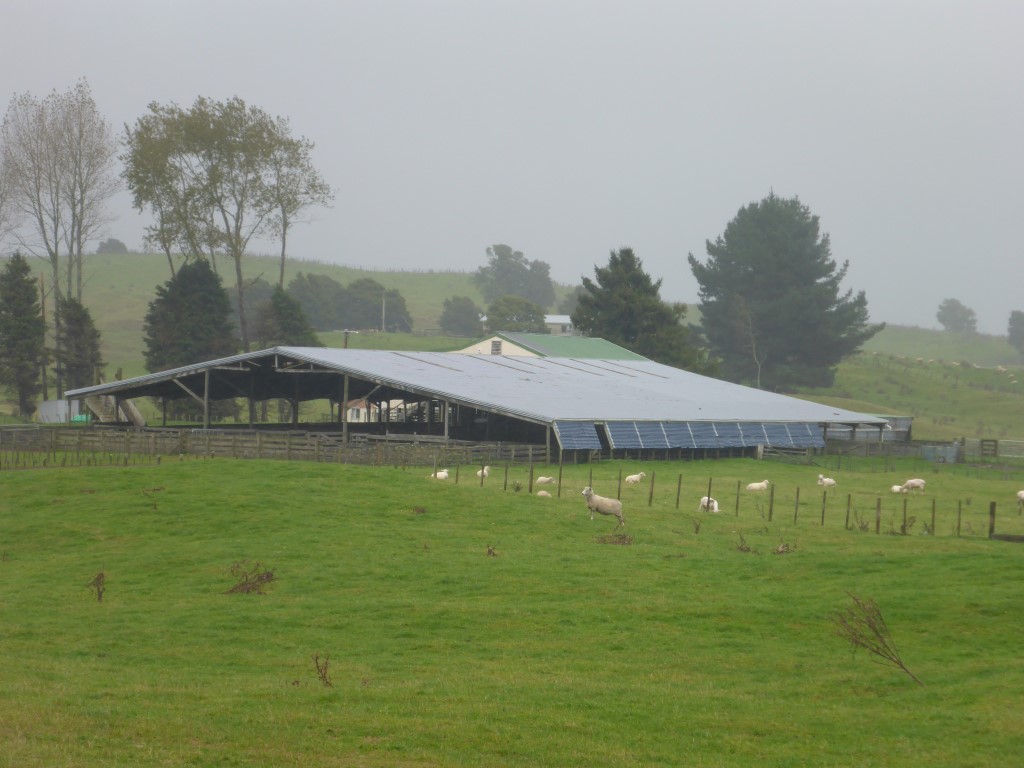
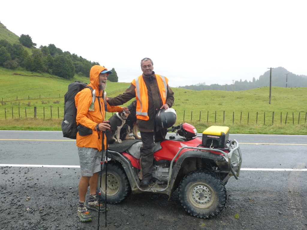
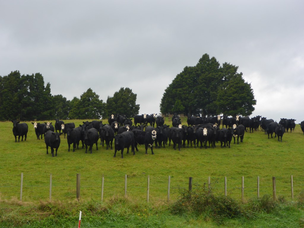
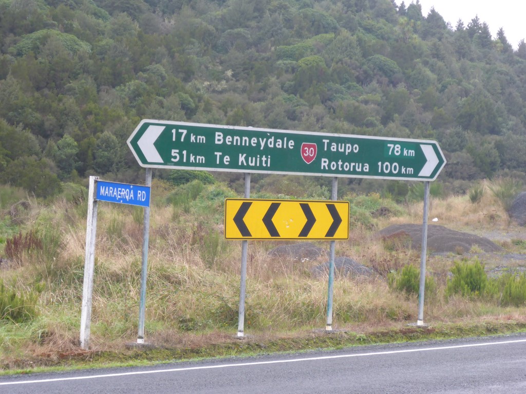
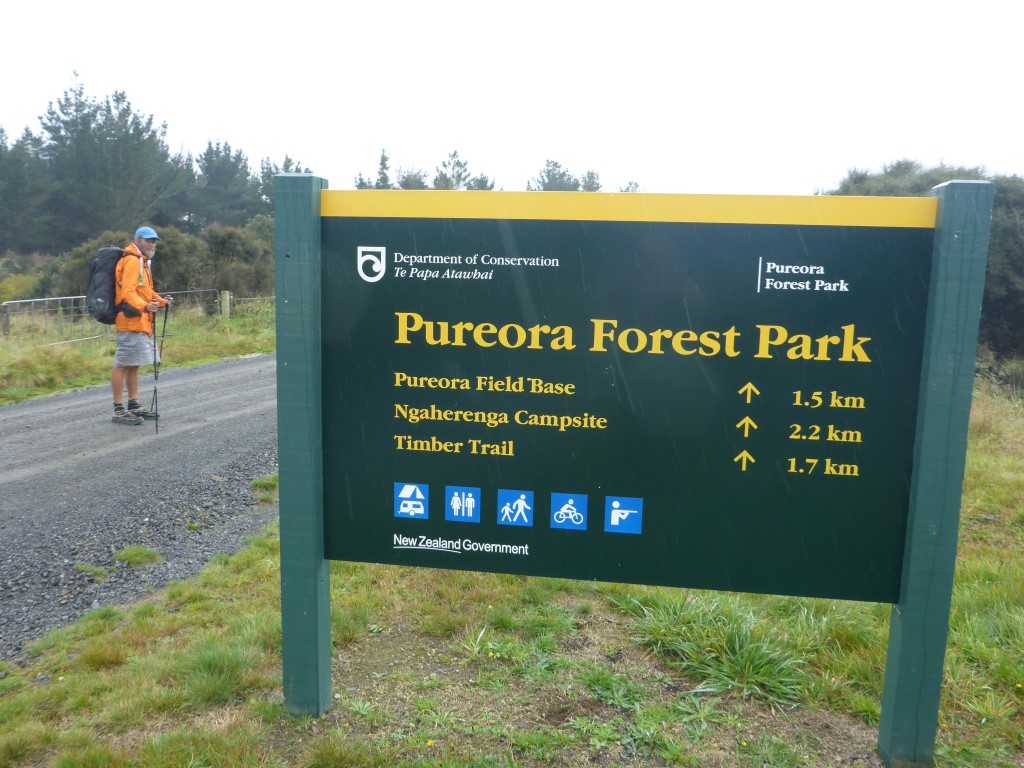
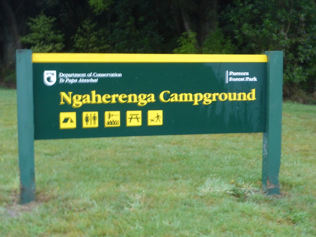
For a bunch or reasons we were up early this morning and got underway just before 0630 for what turned out to be a 35km+ day. Today's GPS data is here. We knew today's journey was all on roads so had no concerns about the distance for the day, especially as it was not a lot of up and down, although it was a steady climb from around 200m where we camped to about 560m at Pureora. Because it was still dark when we set off, Belinda tried out her Finnish lights tied to her jacket - not that we were expecting to see much traffic at the start of the day!! Today was primarily through farming country, so not much bush. A large part of the farming was run by one maori incorporation - with the operation run as several separate units. The operation was very impressive. There is obviously a lot of money being spent on upkeep and the stock were all in excellent condition. We met a number of the workers at different stages of the day and stopped several times for chats with them - all part of the TA experience, especially when you are walking on roads!! It was clear that the staff were very invested in farm (we assume most were local iwi members) and were proud of the operation - they appreciated being complimented on the look of the farm and the stock. Talking with one of the bosses, they have a habit of offering passing TA hikers a place to stay in one of their multiple shearers' quarters on the farm. Indeed, as the day was a bit wet, we were twice offered the option of a free bed and hot shower!! Unfortunately, as we were keen on making Pureora, we had to decline. We also knew there was some heavier rain forecast to come in and were keen to try and get to Pureora before it hit, so we carried on. A bit of info on the trust that runs the farms we passed: "Along with its sister properties, Tiroa E, Waipa, and Wharekiri, Te Hape B makes up the largest continuous area farmed by one entity in the Waitomo district. Located 500m above sea level, it contains the head waters of three major awa; Waipa, Waimiha and the Mokau River, 1224ha of native bush under Nga Whenua Rahui covenant, as well as maturing stands of Radiata Pine.Today, 854 shareholders, all descendants of Rereahu, son of Raukawa, and father of Maniapoto, own the land which has a significant number of sacred sites within its boundaries including the Te Hape and Te Miringa te Kakara Marae. It was originally surveyed in the late 1890s with cutting rights to mill rimu, totara and matai until the mid-1960s. By the late 1950s Te Hape was developed by the Department of Maori Affairs and then handed back to the owners in 1974 encumbered with debt and with little experience in mainstream governance or business management. However the benefits of improved subdivision, pasture management and changes to genetics are now starting to show positive results. As a breeding and finishing unit, Te Hape B is the largest operation in the Trust’s 10,000ha land portfolio. It uses both leased and ancestral lands to run on average 31000 stock units of which are 62% Perendale cross sheep and 38% of which are cattle, mainly Angus." The rest of the road trip was uneventful and we ended up reaching Pureora Forest HQ around 1500. We had thought we might try and get a cabin because of the weather - I had sent an email from Te Kuiti but had not had a response (hard to check because of lack of cellphone coverage). We also had no cellphone coverage at Pureora so tried to make contact with the cabin people from a payphone at the DoC office. Long story short, the DoC concessionaire for the cabins is basically useless!! Some people in the cabins, as well as a visitor who had tried last year and this year to contact the people responsible. all said they were virtually impossible to contact. Even one of the DoC staff who came out to talk with us said they had had issues with the concessionaire themselves. Makes you wonder what it takes for DoC to dump them and get someone who actually knows what they are doing to run the cabins??! The rain came soon after we arrived, so we waited on the DoC office veranda for some time (all the while trying to sort out the cabin!!) to keep out of the worst of it. Finally the rain eased, and the cabin situation was clearly not going to resolve itself, so we set off 500m down the road to set up our tent at the nearby DoC campsite.
It was interesting to hear a fair bit of birdlife around the campsite - perhaps more than we had heard on our travels to date! We even saw a couple of kaka flying around in the tree tops. Not quite as friendly as the ones on Kapiti Island - but great to see!! Managed to get ourselves fed while dodging the worst of the rain and settled in for the night fairly early. It rained a fair bit overnight - but as usual that presents no problems unless you need to get out during the night which, with training, we are now not having to do very often!!
0 Comments
Leave a Reply. |
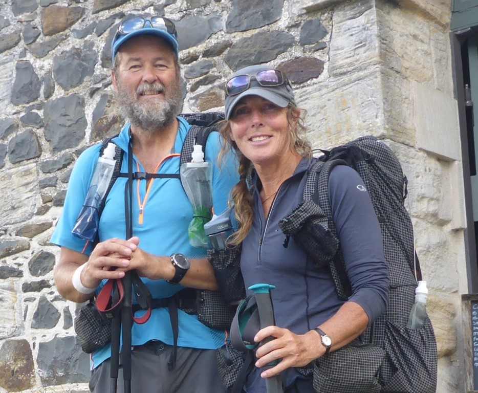
AuthorBelinda and Anthony (aka Tony) Hadfield made a decision, in their late 50's, to do something a "bit different" and walk New Zealand's 3000km Te Araroa Trail over summer 2015/16 - although updates will now tell you that this plan will take longer now!!. As the old saying goes - "don't leave home 'til you've seen the country"!! Archives
January 2018
Categories |
 RSS Feed