|
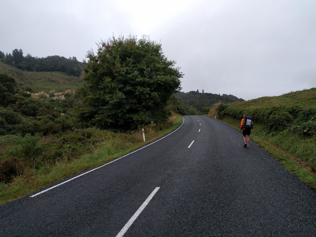
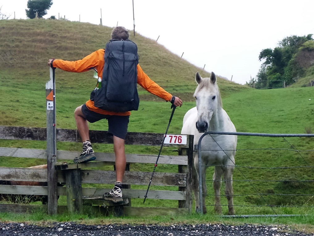
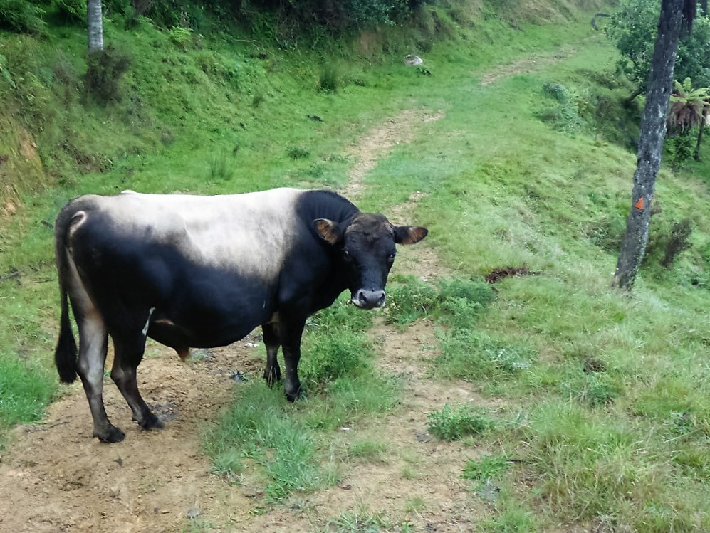
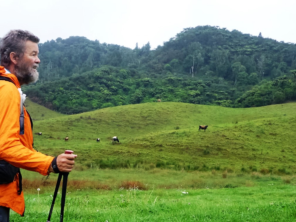
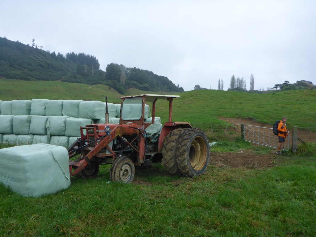
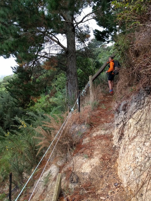
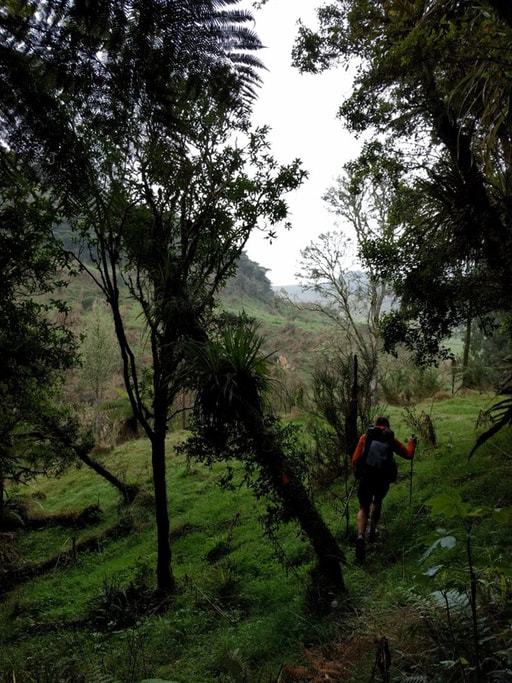
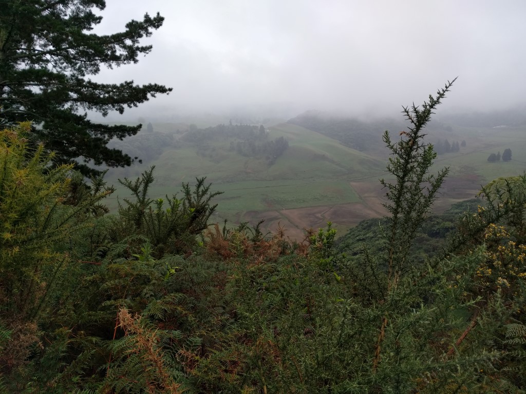
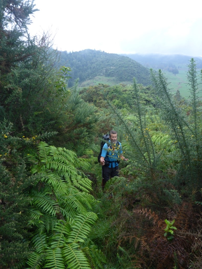
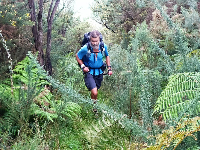
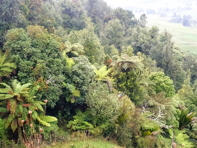
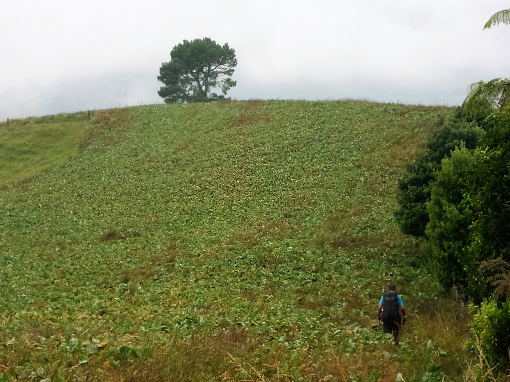
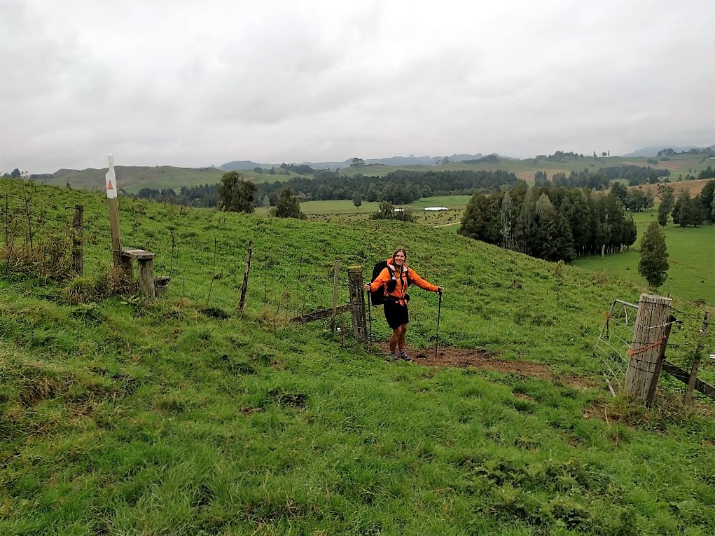
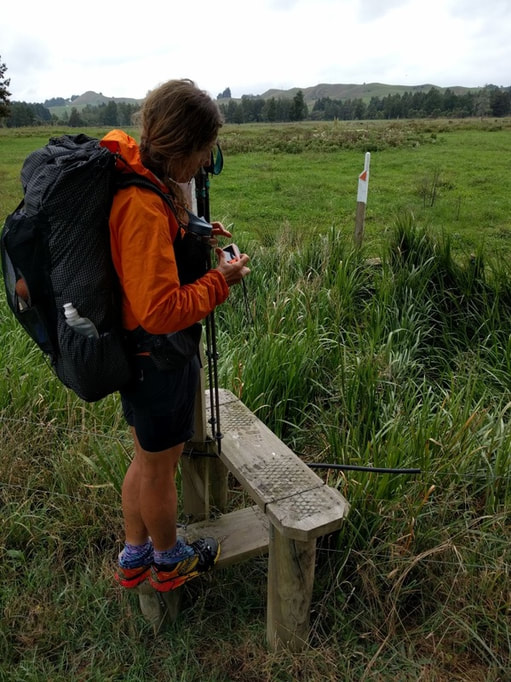
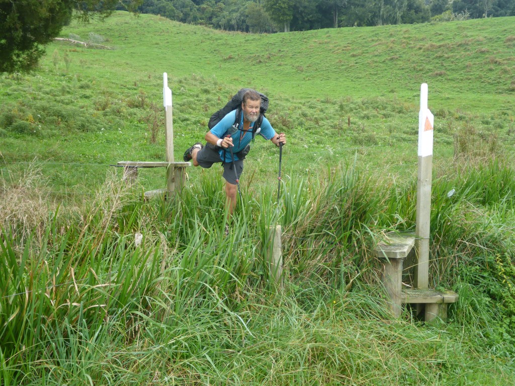
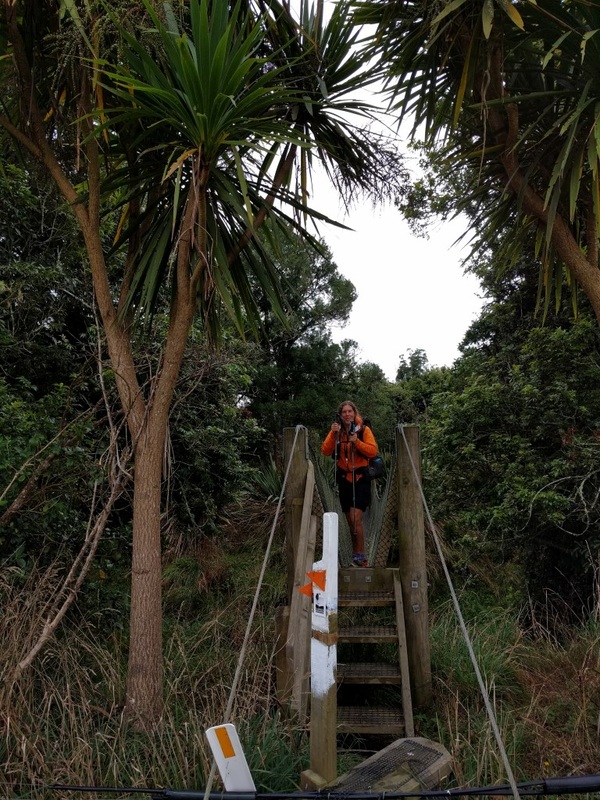
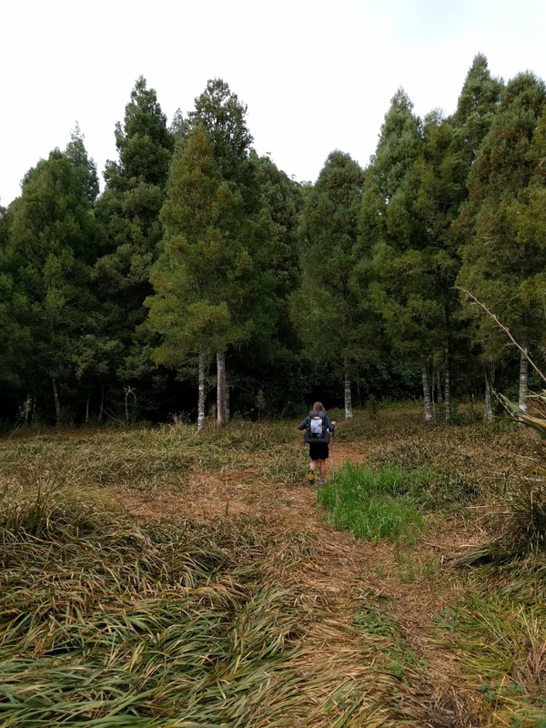
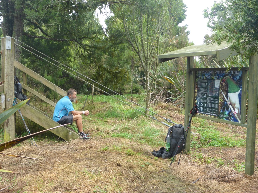
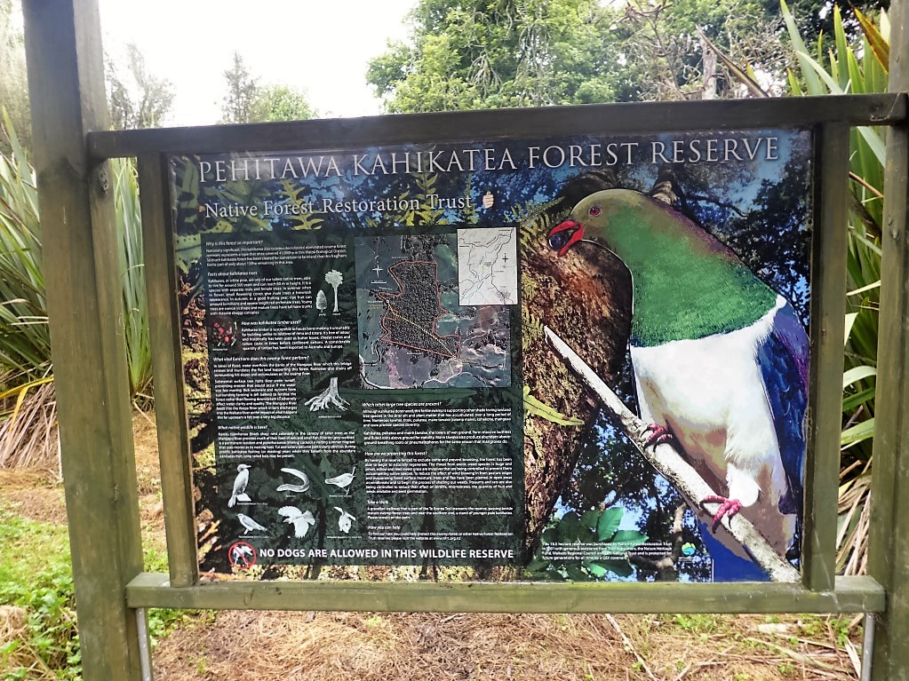
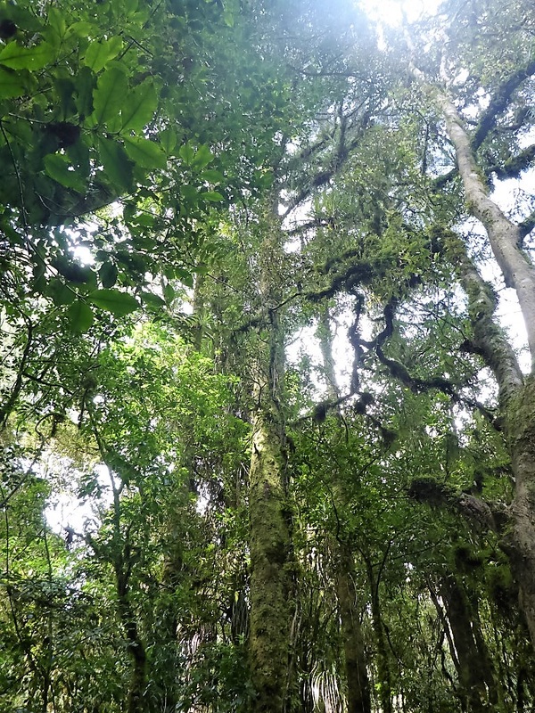
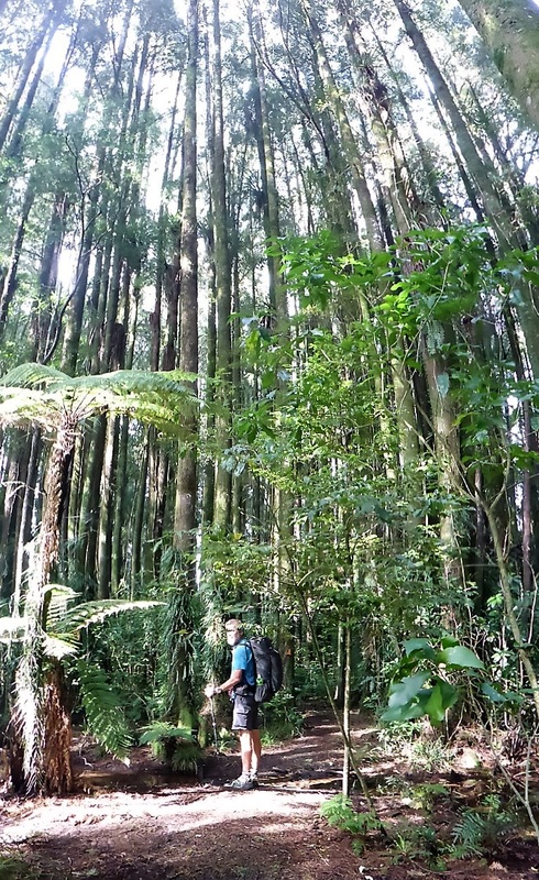
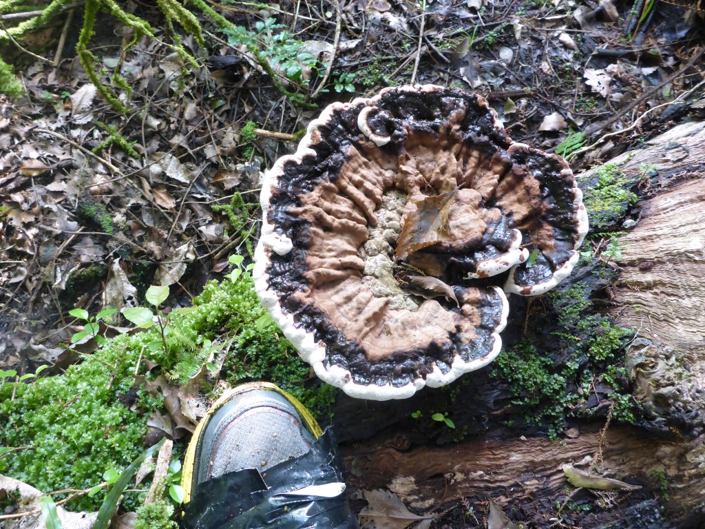
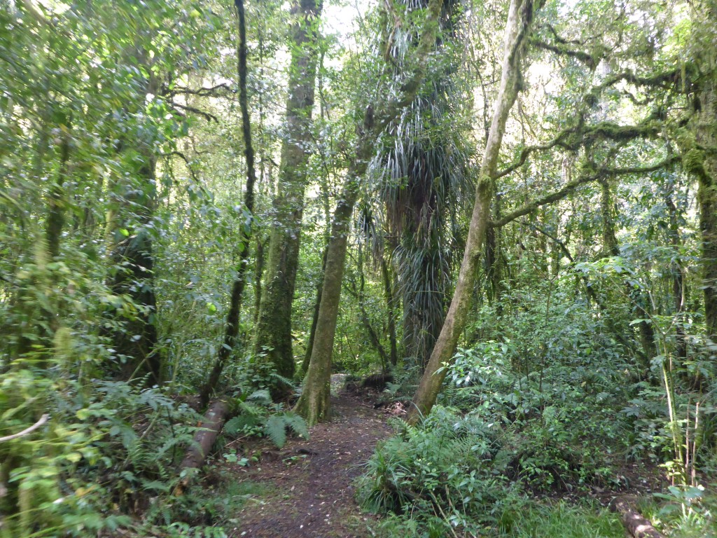
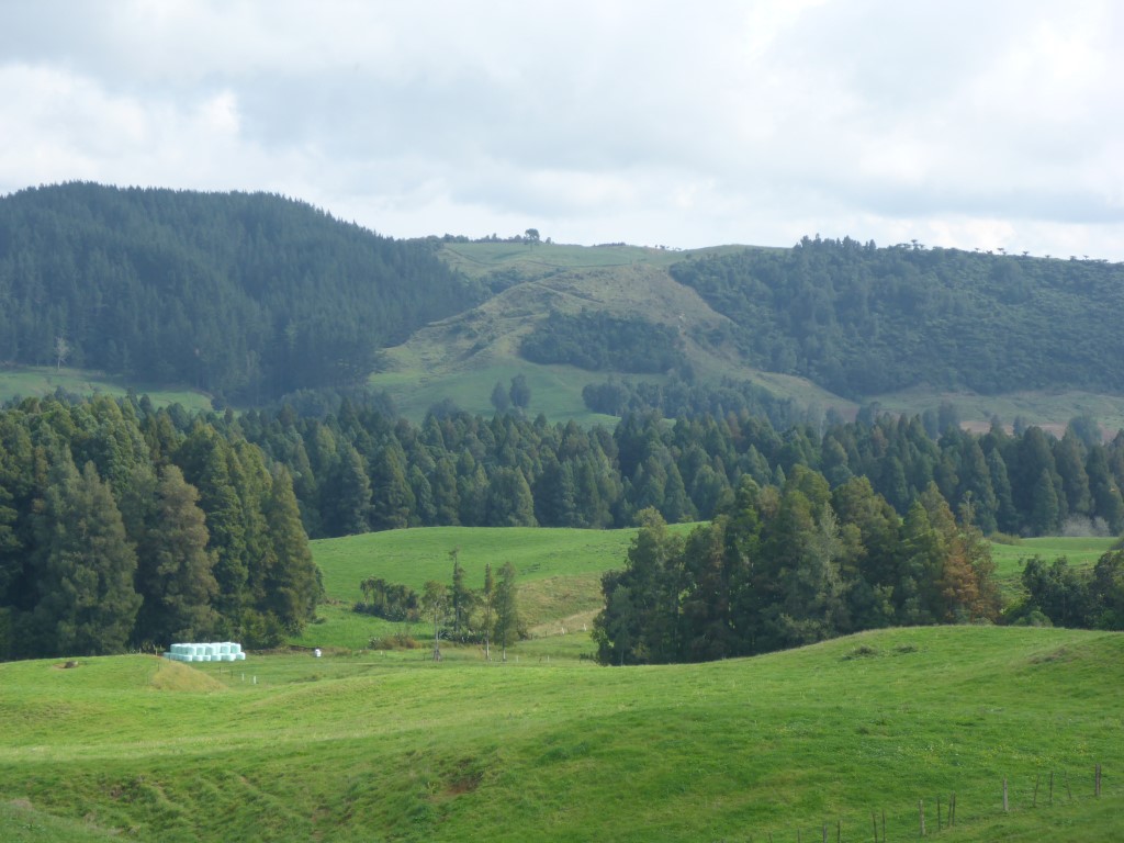
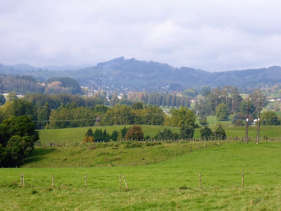
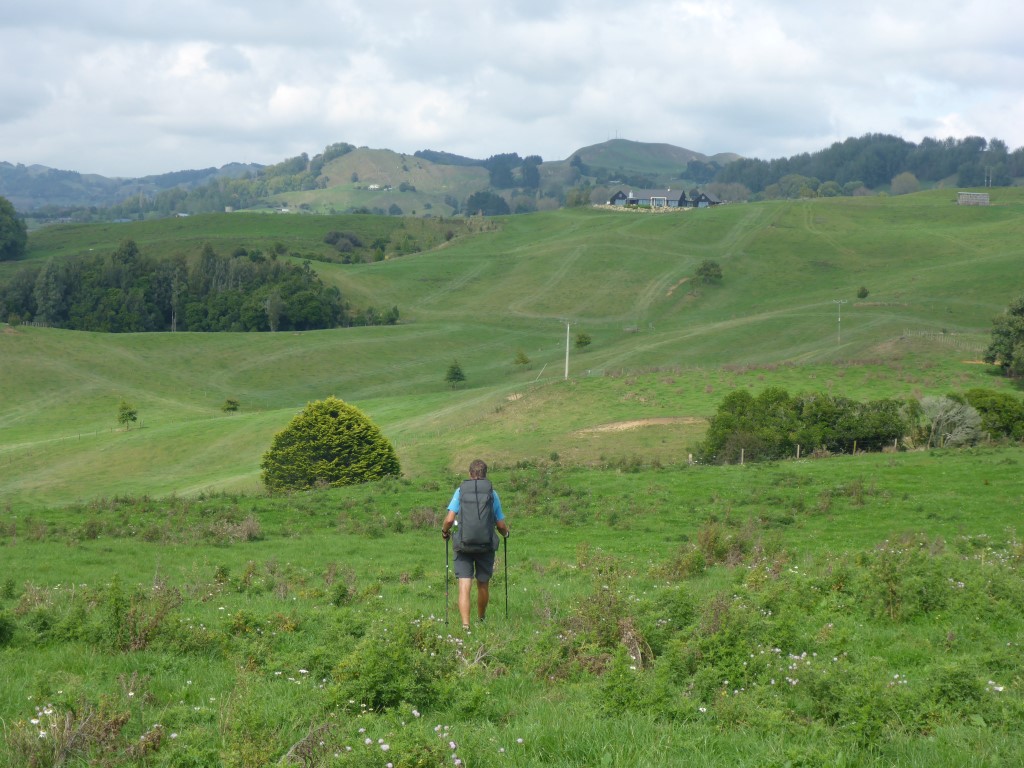
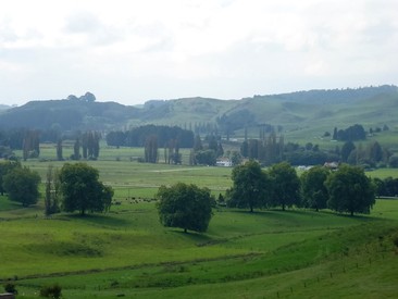
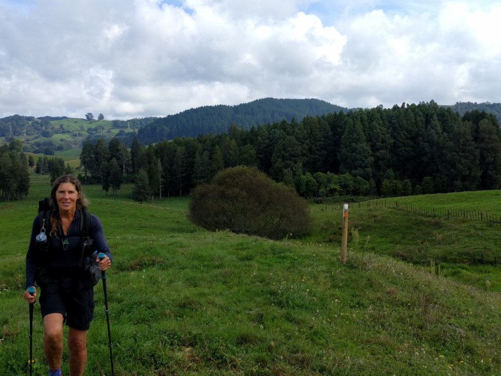
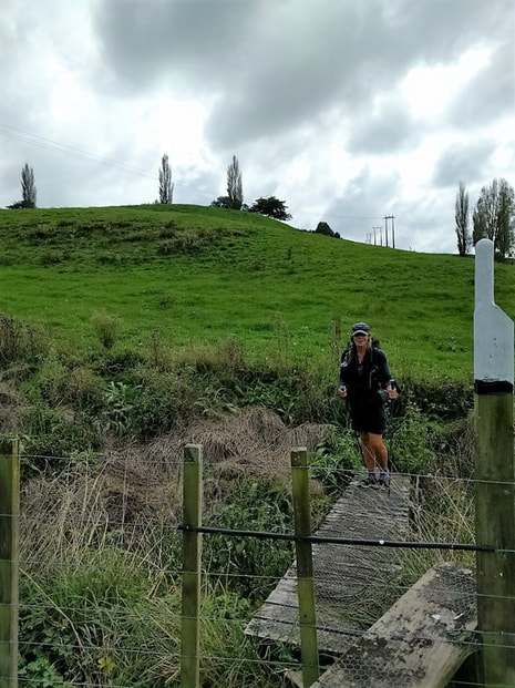
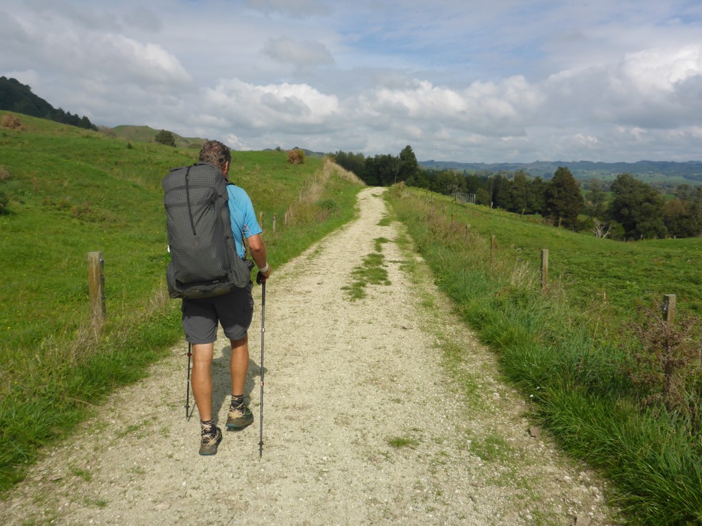
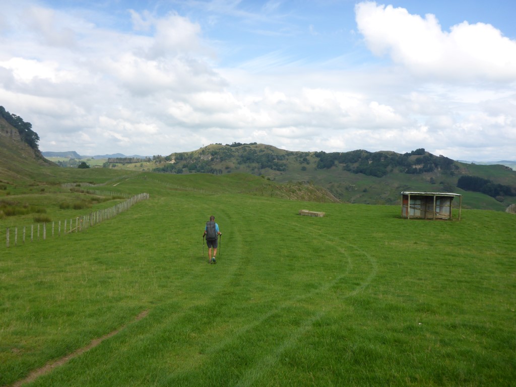
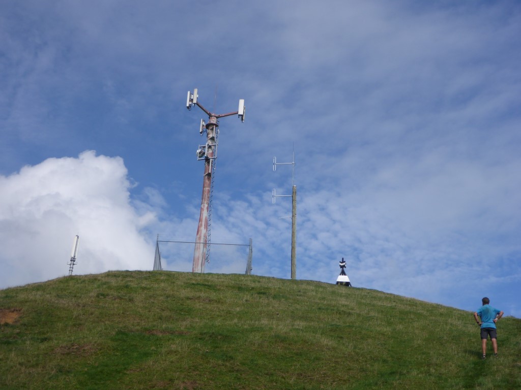
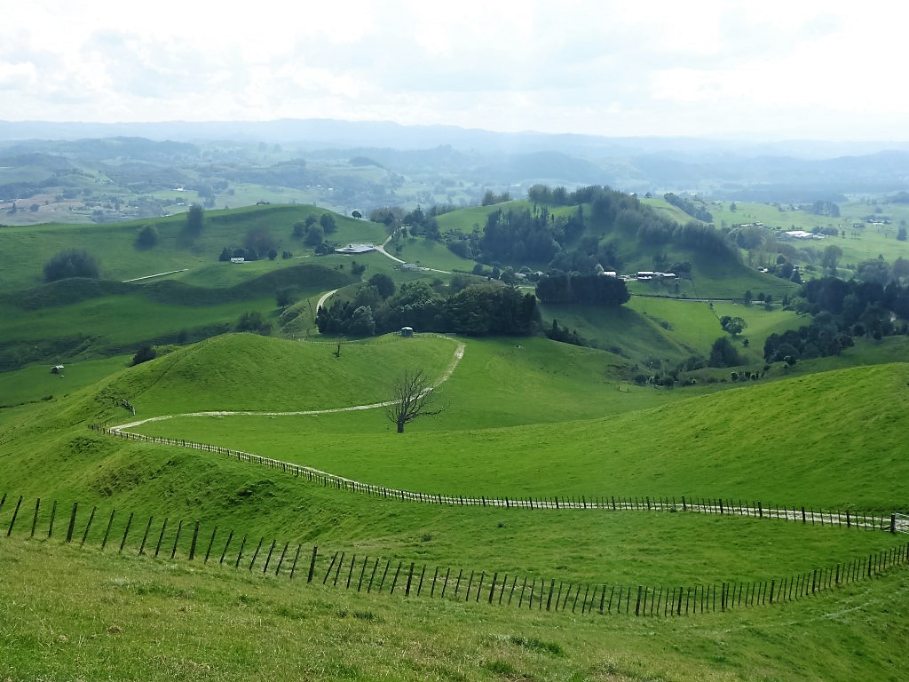
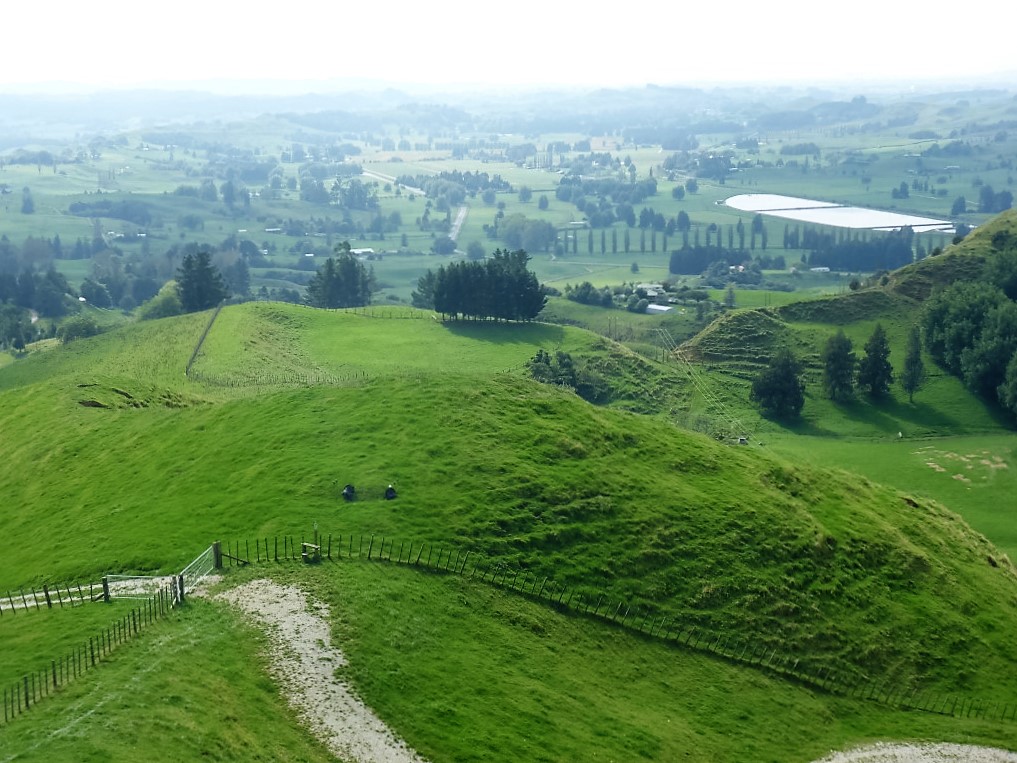
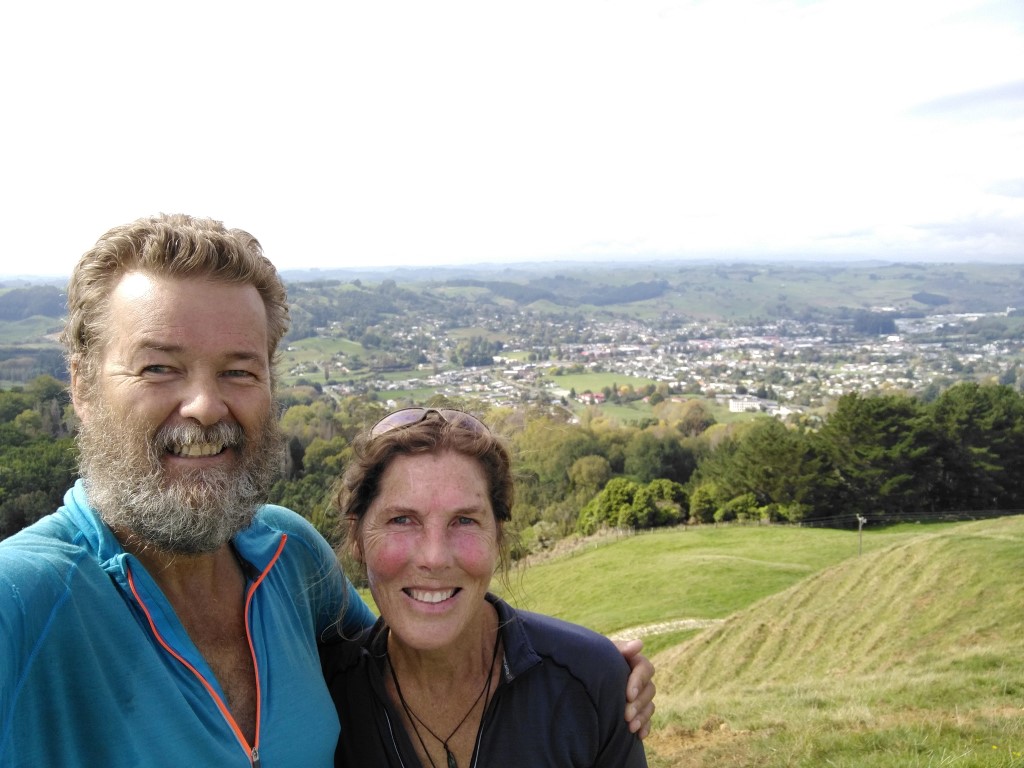
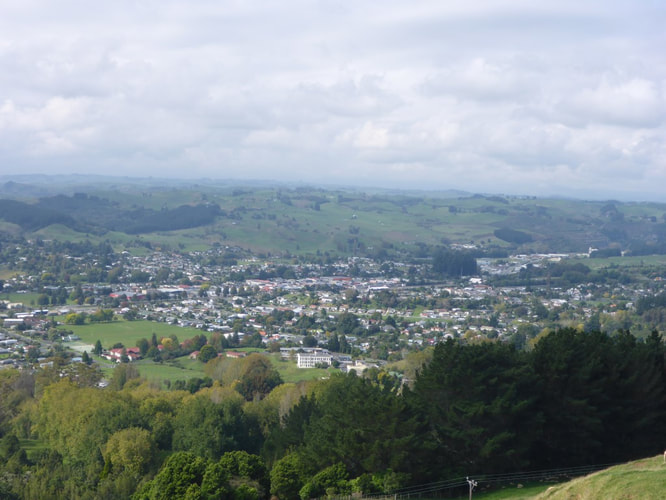
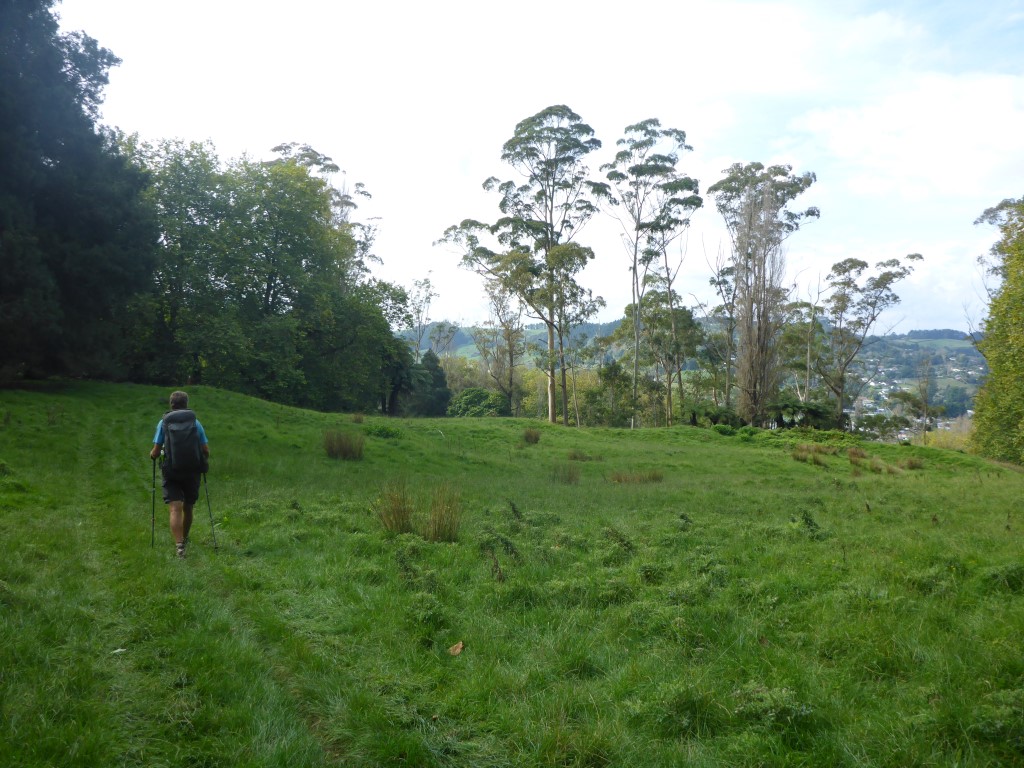
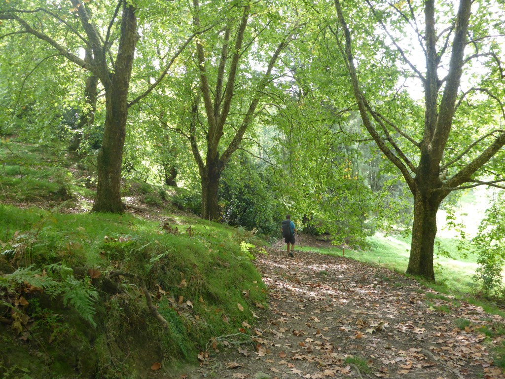
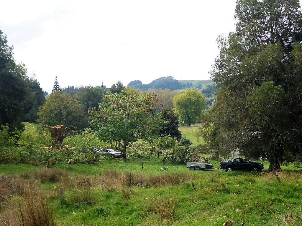
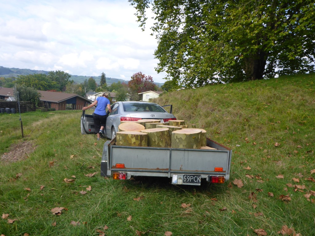
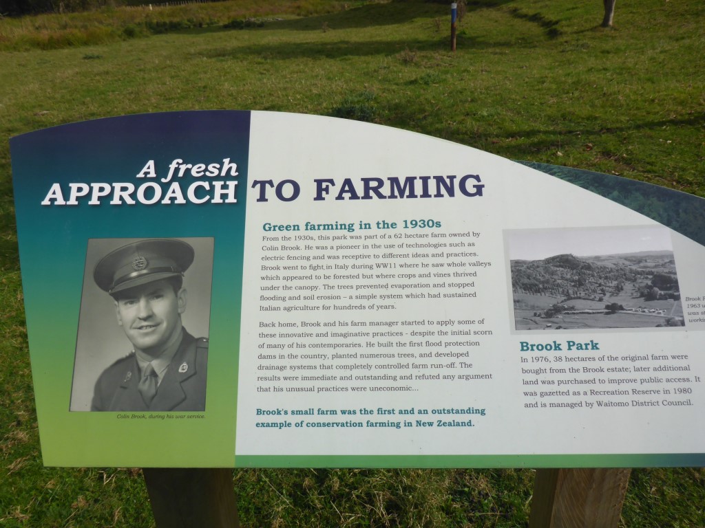
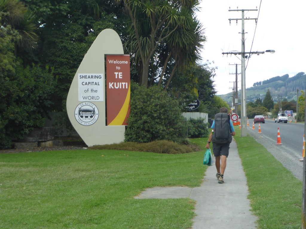
We knew it was a relatively easy day today so there was no real rush to get away. TA says it was 16km but we ended up doing over 19km including a detour up to the 263m trig just before descending into Te Kuiti, and to do some supermarket restocking once we hit Te Kuiti. You can see this on the GPS data for the day, which is here. We set off just before 0800 to head a short way east down the road out of Waitomo before turning south onto Fullerton Rd. I had paused the Suunto at the campsite and forgot to restart again until about 10 minutes into the walk so the first bit shows a straight line rather than the actual walk down to Fullerton Rd!! You'd think my memory would be better by now!! After the first km on the road, we branched off onto some farmland for a bit of "up and down" for another km before heading up on a narrow track into some scrubby hills for yet another km before coming out into yet more farmland!! This was a short stretch of farmland before heading into another 2.5km or so of hills covered in scrub / newly regenerating bush. The link above to the Suunto GPS data provides a good map (if you turn on satellite view) of the type of territory we were going through. Indeed, I have to go back to it to remind myself (along with photos) what we went through, as I am writing this 2 weeks later!! Then it was mainly on farmland until after about 6.5km we crossed a small swingbridge into the Pehitawa Kahikatea Forest Reserve. It's incredible how many of these little reserves are dotted around the countryside in random places that you would never find out about unless you were walking past. I guess that is part of what Te Araroa is all about. We stopped here for a bit of a smoko break before heading off through the reserve - only about a 700m walk in total. After that it was up and down over some lovely farmland, including a walk down yet another farm airstrip, before getting to a trig which was about 2km from the main highway in Te Kuiti. As noted, we took a side trip up to the trig (the trail heads past it about 25 vertical metres below) for some great views down to Te Kuiti and of the surrounding countryside. Then it was down the hill and briefly into some pines before meeting up with one of the trails in Te Kuiti's Brook Park Reserve. This reserve is a great asset to the town. There is a photo above showing an information board telling about the guy that originally set it up. We chatted briefly about TA to a couple of locals who were collecting firewood from a large London plane tree that had come over and was being chopped up. A very pleasant walk through this reserve saw us emerge onto SH3 towards the north end of town. We had to take a short detour north here to the New World supermarket for a restock - us walking around the supermarket is the "birds nest" looking GPS trail showing on the map at the north end of town!!! Then it was a 1.5km hike, with our shopping bags as well, down to the motel we had booked for the night. This enabled us to repack all our food supplies etc as we now had a 6 or 7 day stretch through to Taumarunui, via Pureora with no resupply options along the way.
0 Comments
Leave a Reply. |
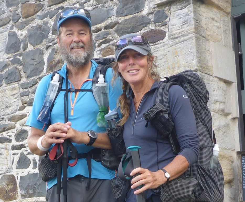
AuthorBelinda and Anthony (aka Tony) Hadfield made a decision, in their late 50's, to do something a "bit different" and walk New Zealand's 3000km Te Araroa Trail over summer 2015/16 - although updates will now tell you that this plan will take longer now!!. As the old saying goes - "don't leave home 'til you've seen the country"!! Archives
January 2018
Categories |
 RSS Feed