|
Got up early (around 0530) and had our first ever cooked breakfast (courtesy of Back Country Cuisine!) - apparently beef bacon, eggs and hash browns with baked beans!! Not all that bad when you are used to a regular diet of muesli!! B took some early morning photos of the facilities and we got underway just after 0700. Today ended up being around 25km - more than the Suunto says because I turned the watch off for about an hour (maybe 2km) on the way down from the summit. I blame the stress of the descent :-) !! The day's GPS data is here.
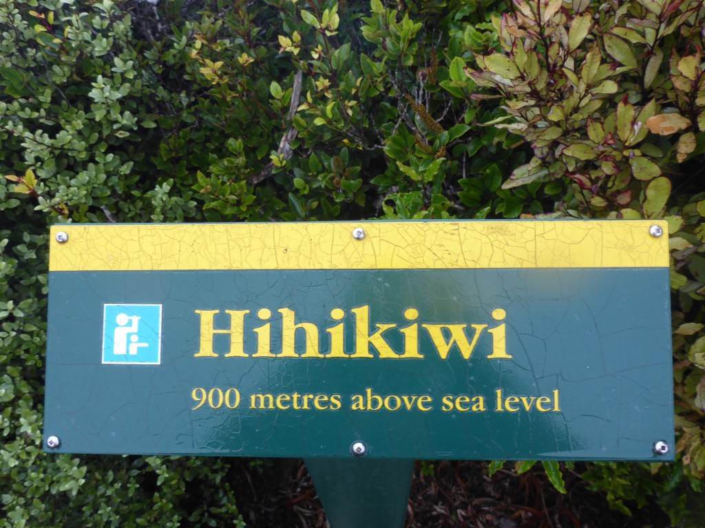
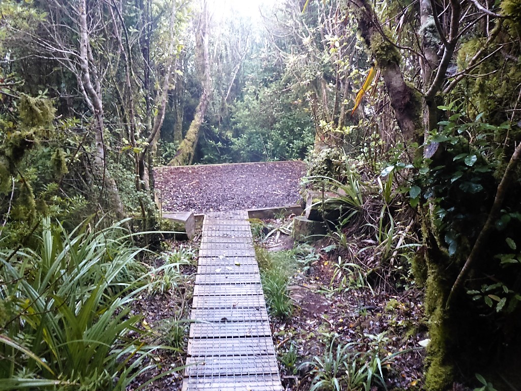
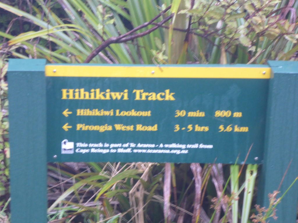
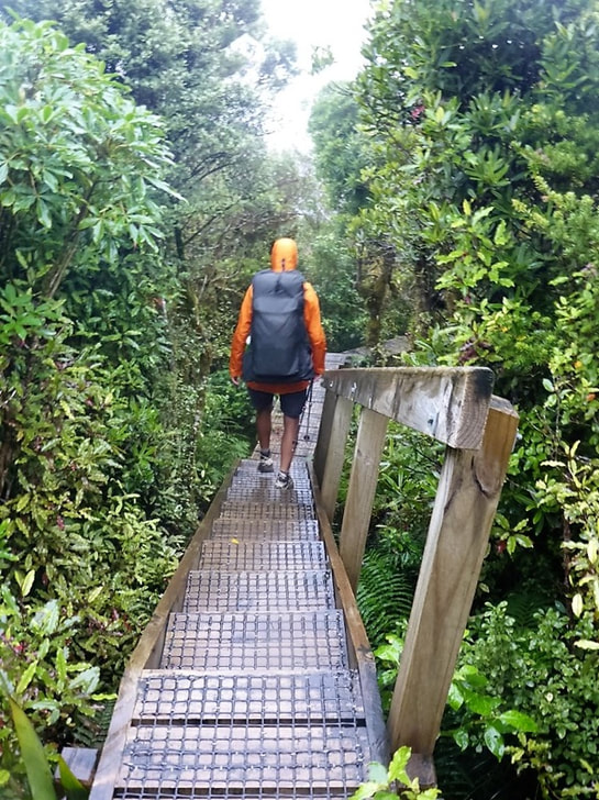
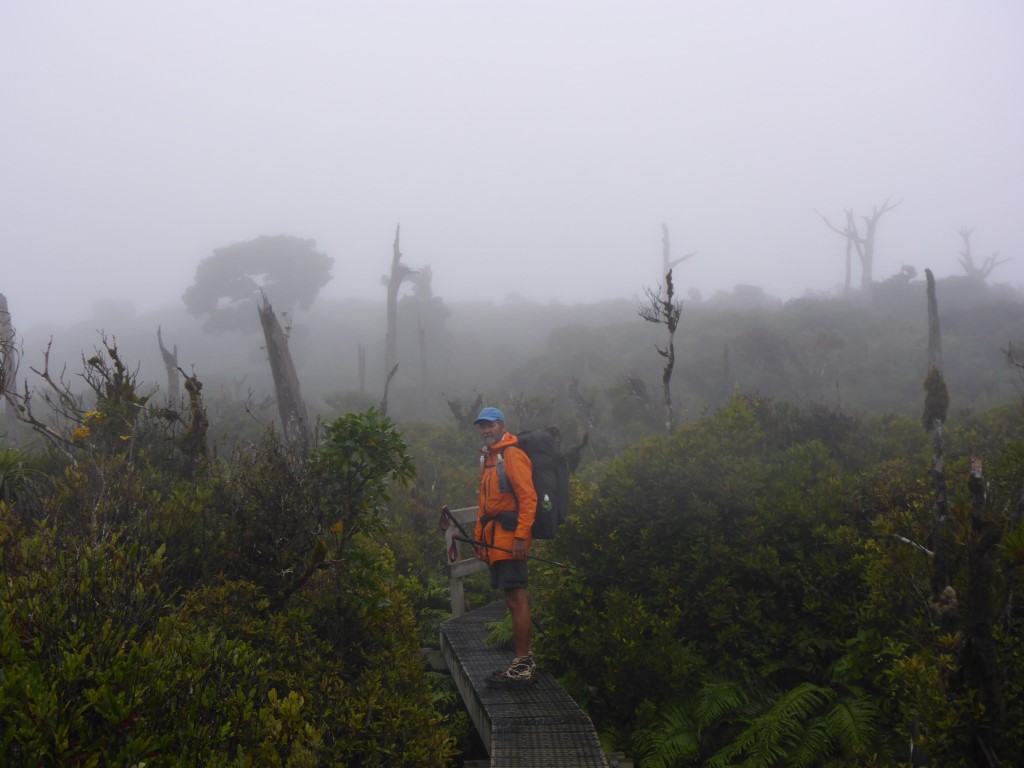
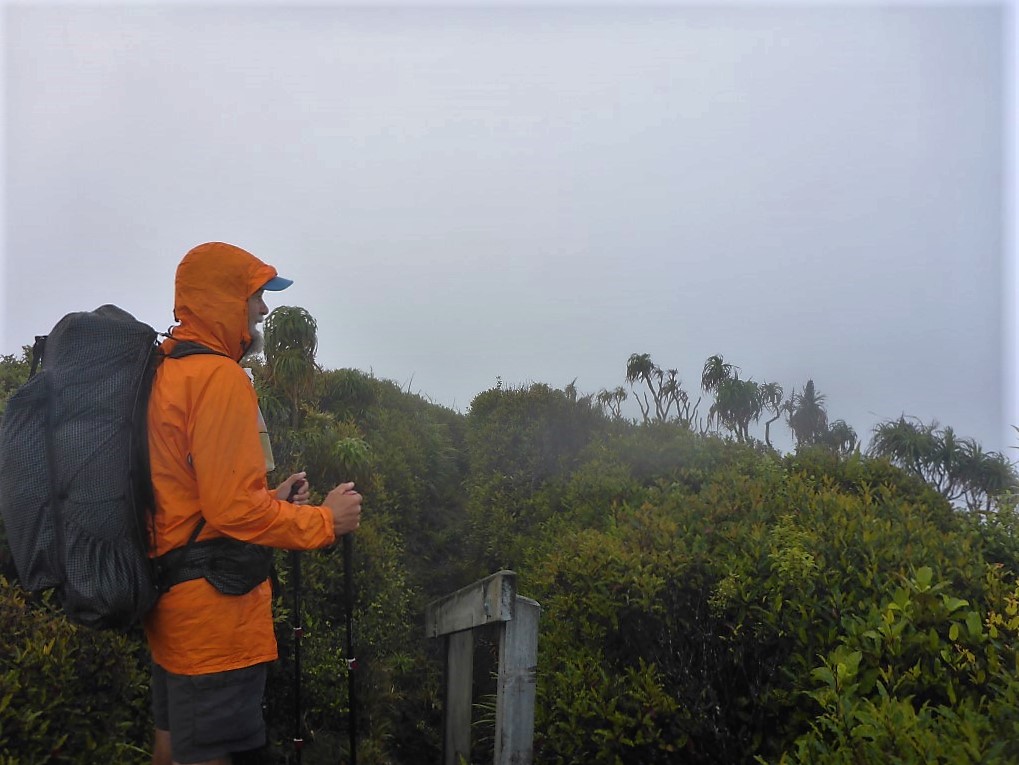
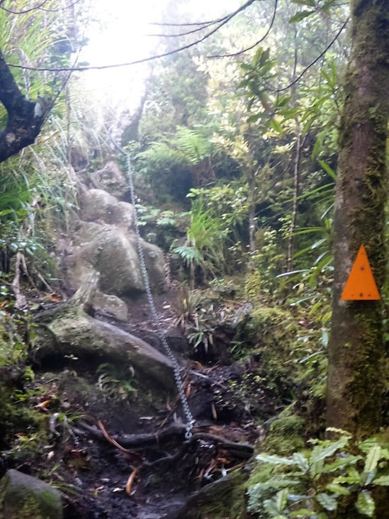
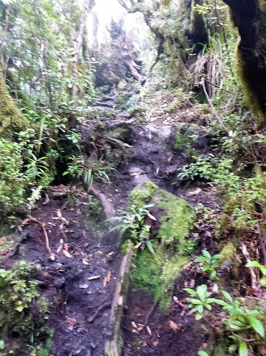
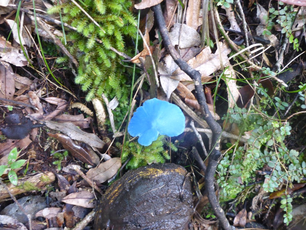
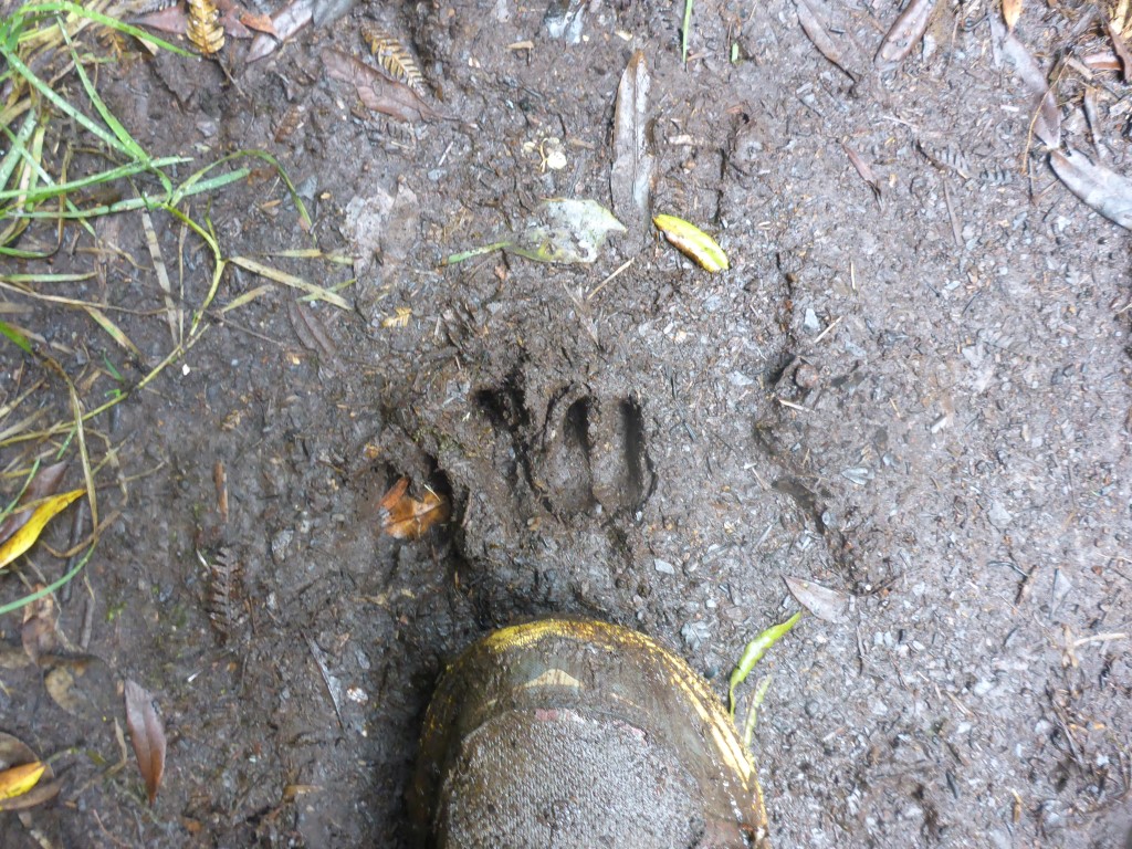
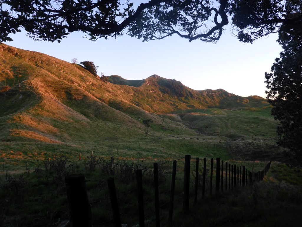
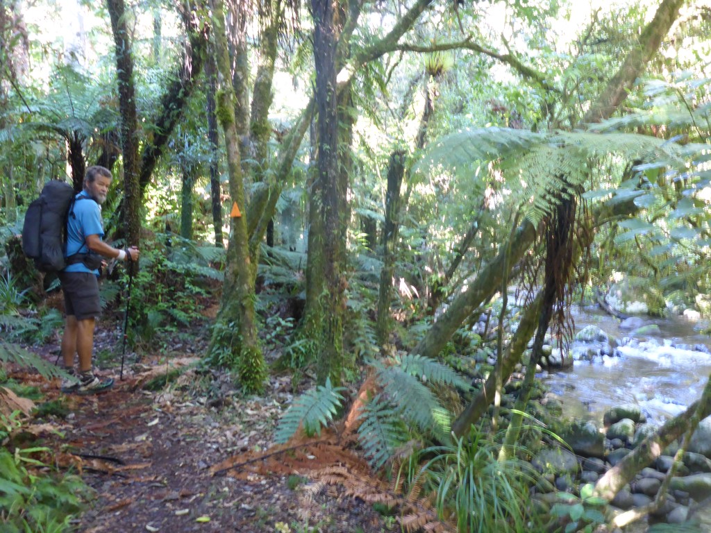
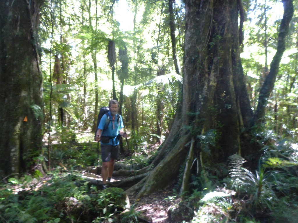
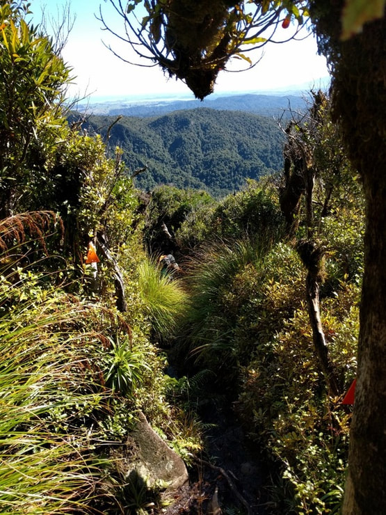
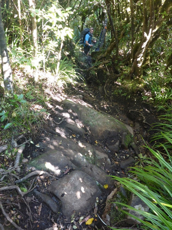
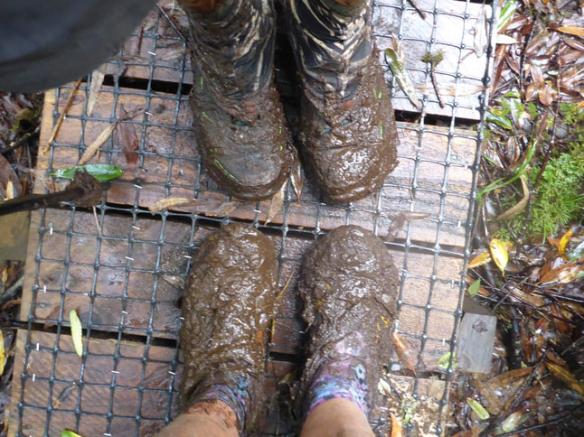
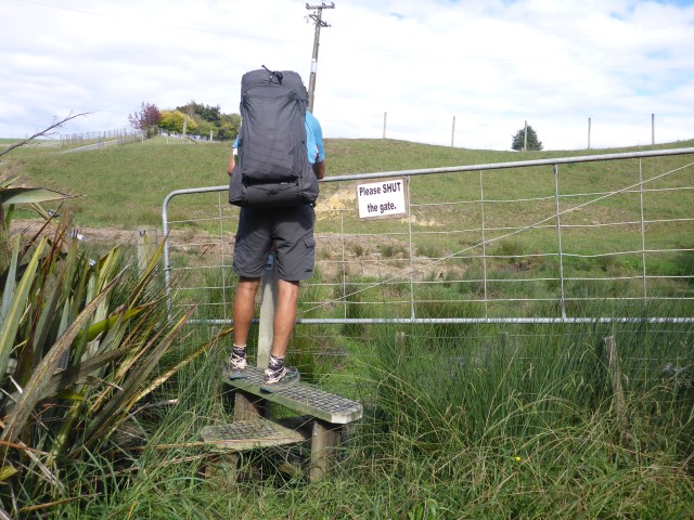
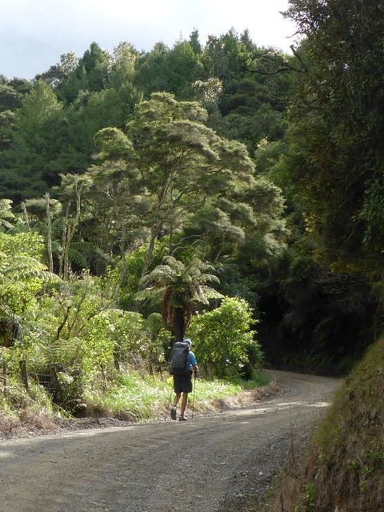
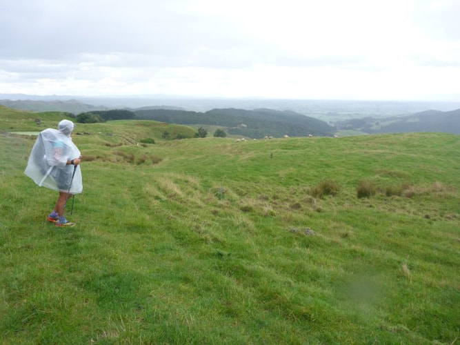
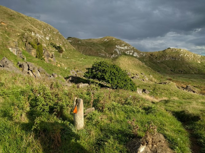
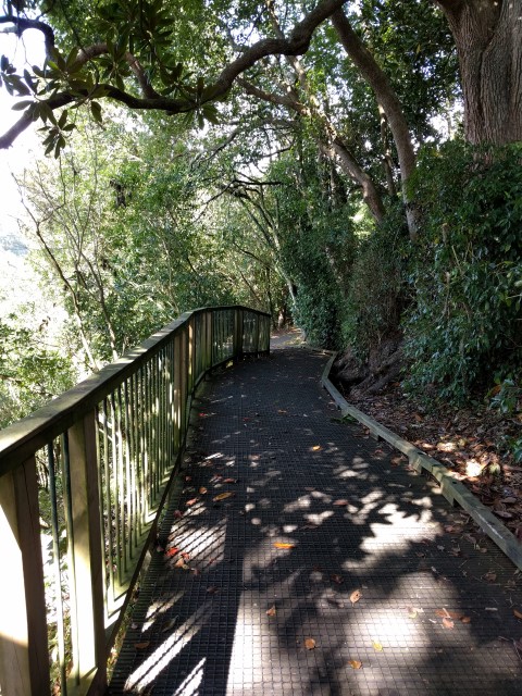
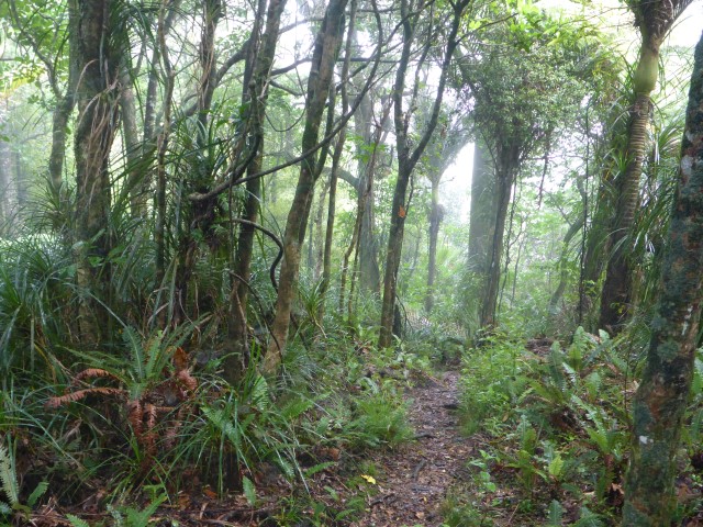
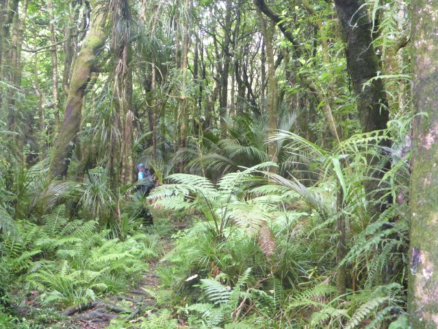
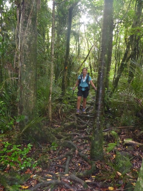
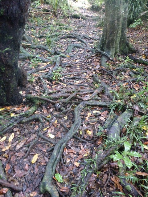
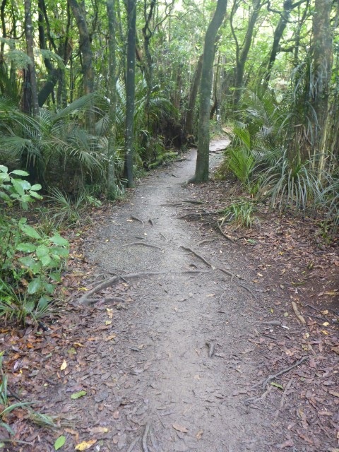
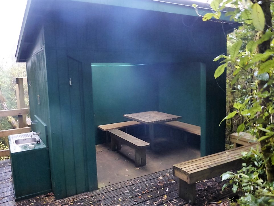 And a shelter for campers separate from the hut. As you can see from some of the early photos, it was a fairly moist start to the day, with wet weather gear required. It reminded us how lucky we were to have had such a brilliant weather day yesterday. Then it was off on the descent!! We were not buoyed by the fact that Kirstine Collins, whose blog had provided us with so much useful info, had labelled this almost 6km trek to the road at the bottom the Hihikiwi Horror Track!! Anyway, it started very nicely with the Noel Sandford boardwalk for about 750m or so to Hihikiwi Peak and lookout - that was the last we were to see of any boardwalks or steps!! Then it was on down the next 5km or so of track, with the occasional "up" thrown in as well - the nett effect was that we descended from around 900m to around 520m on this section. Suffice to say it was a challenging track with lots of mud thrown in at times and some hand over fist climbing - both up and down. We achieved it in 3.25 hours with a short break near the 2 hour mark (when I forgot to restart my Suunto!!) which we thought wasn't too bad overall, given the 3-5hr that DoC suggest. We were rather pleased to finally hit Pirongia West Rd at the bottom where we stopped for a break. Note that we had a few issues with the camera today for some reason so apologies for some of the photos being a little out of focus! Also, when you are battling the terrain, sometimes the last thing you want to do is get the camera out and document it!! We certainly didn't take as many photos as usual on this descent. 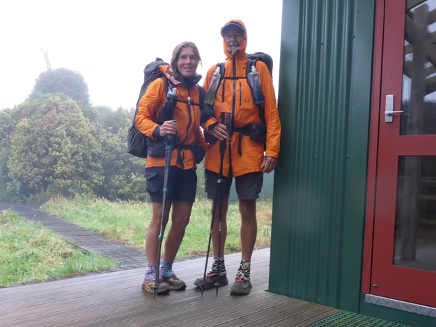 Decked out for a moist start to the day.
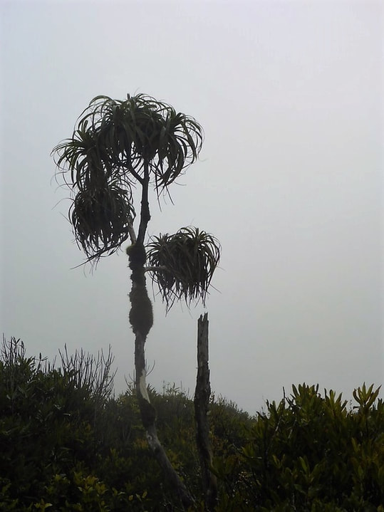 This reminded B of the tree from the Lorax!
 .... until we reach the lookout.
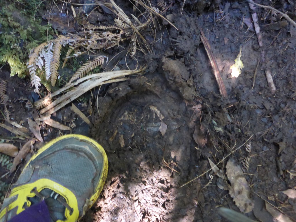
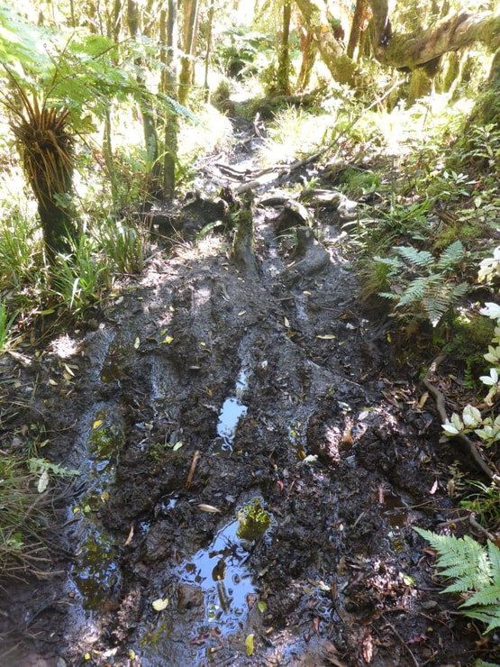
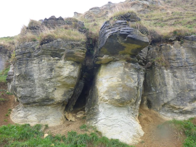
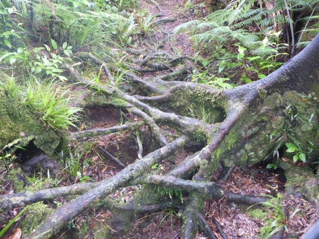
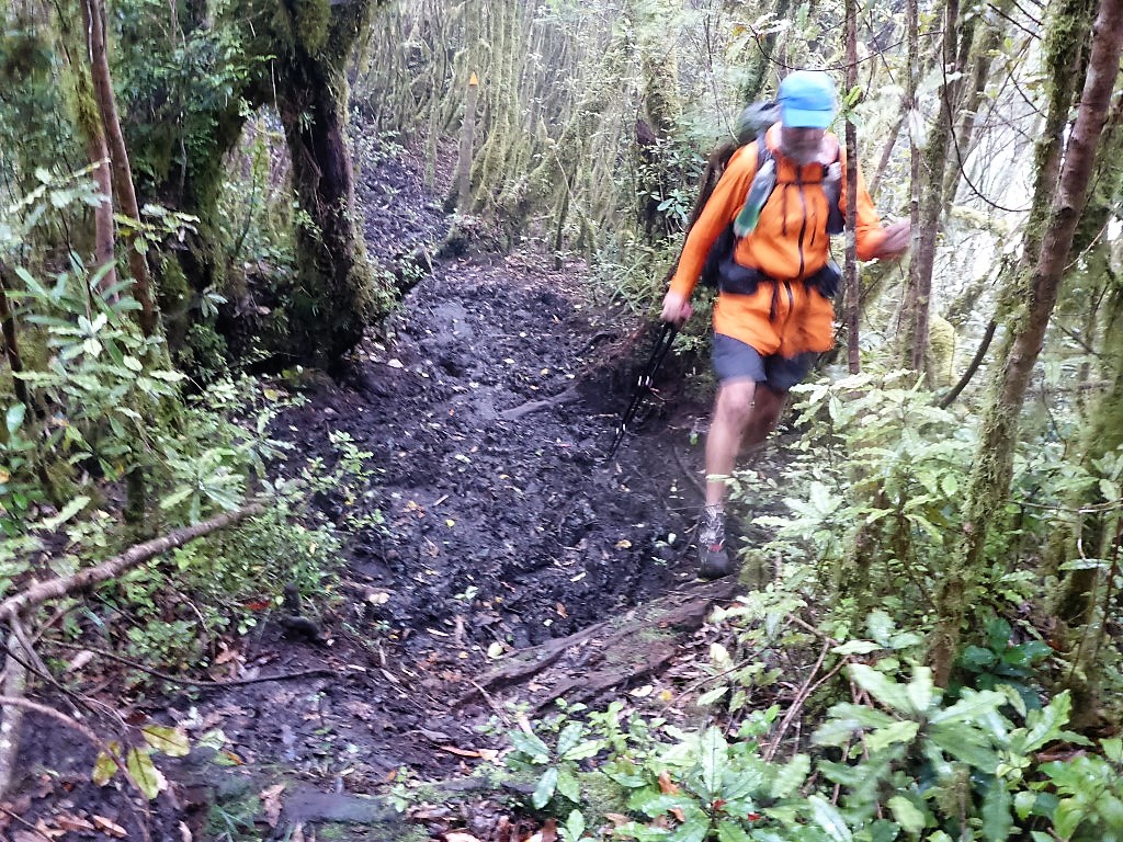 Then it was into the mud!!! This was pretty typical of a lot of the section although not the worst!
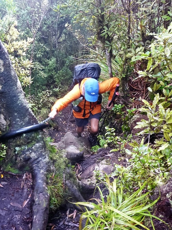 Me using the chain - necessary for sure!
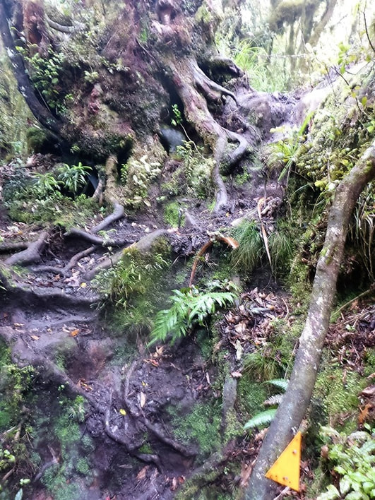 And more of the same.
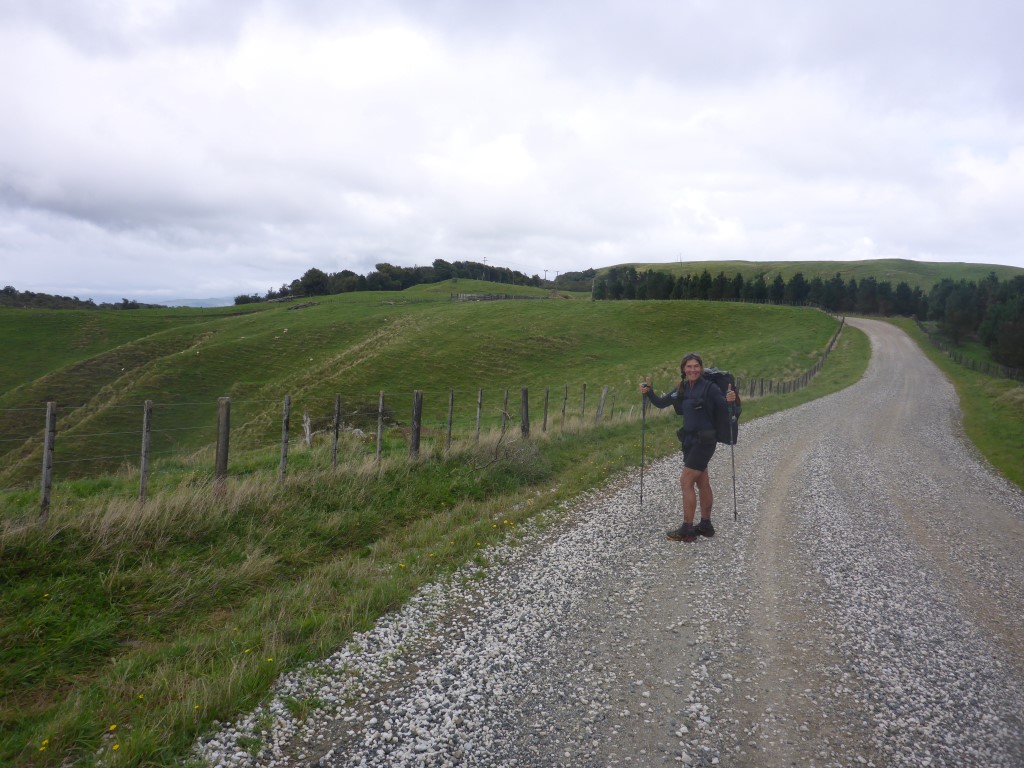
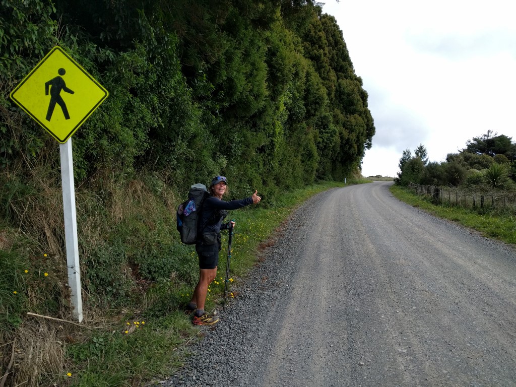
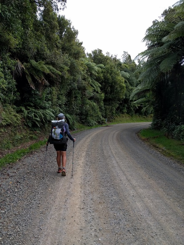
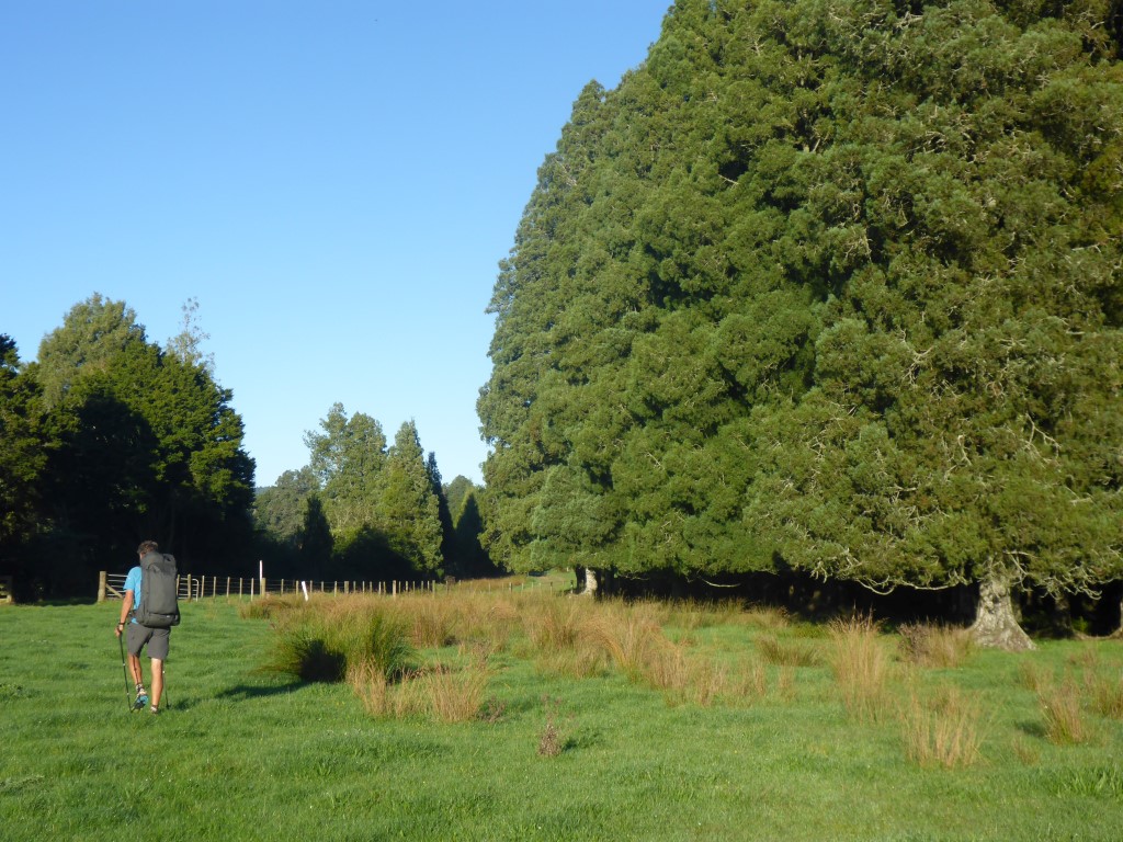
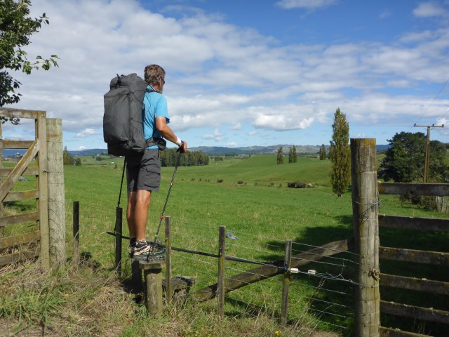
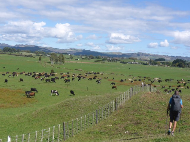
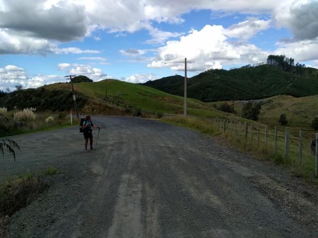
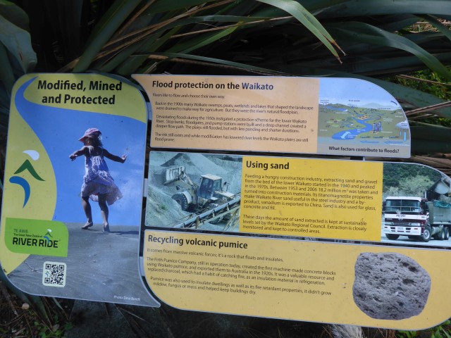
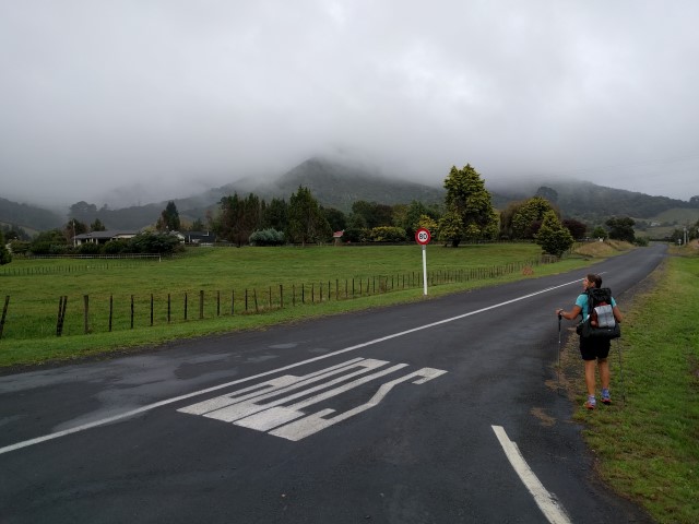
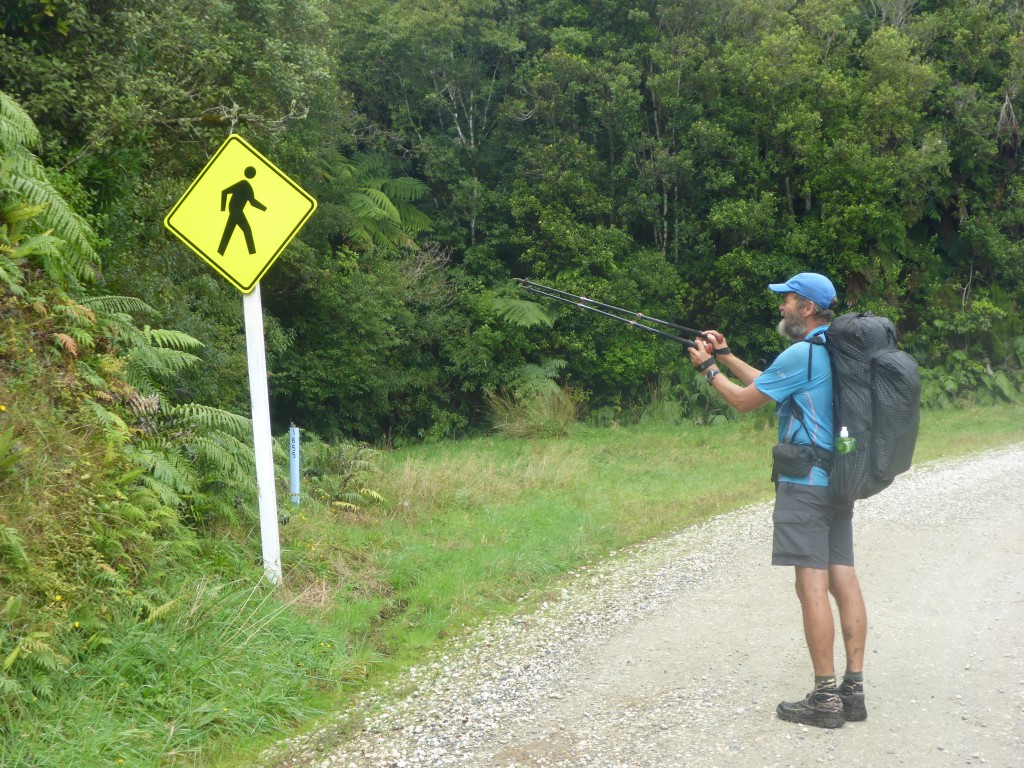 Another sign to warn the non-existent local traffic of our presence!! From here, the next 19km or so was on backcountry gravel roads, with the very last bit being on a farm track (although apparently it is officially Gayne Rd - you wouldn't take your Ferrari up here, trust me). I'm not sure if it was just happiness at being off the Hihikiwi Track or not, but it was positively enjoyable walking through the countryside! The roads went through a mix of bush-lined sections and open farmland - the Pirongia Forest Park stretches a reasonable distance and, after a reasonable section of road through farmland, we did another stretch of 5km or so through bush which, according to the map, is still part of the park. I see from Wikipedia that the Forest Park is 135 sq km covering four separate blocks, which explains it!! The scenery is beautiful to we country folk and it is at times like this that I wonder why it is that some hikers seem to dismiss all road walking as being unpleasant. Each to their own I guess. Don't get me wrong - there are certainly some sections of road walking that get us down a bit at times, but it is all part of the variety that is Te Araroa!!
 "I'm still happy to be on this road" :-)
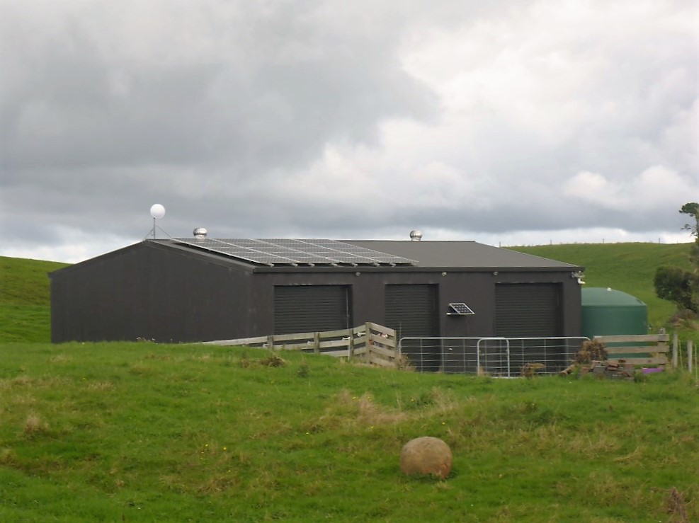 A good solar setup on the farm shed.
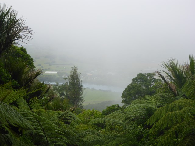
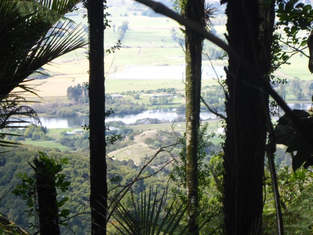
 Looking back to Pirongia hills in background.
The last 1.5km was on Gayne Rd which, as I alluded to before, was actually a grass farm track that took us up to a topdressing airstrip. We knew others had camped around here so thought it would be a good spot to stop. There was a cool SW wind blowing which made it a bit harder to get a good spot but we eventually headed just past the airstrip, through the next gate and into the start of the next bush section. This was an old grassy 4WD track so we decided (given there was no evidence of any recent use either by feet or vehicles) to pitch the tent in the middle of the track (not normally recommended!). Again, given how early it is getting dark now, we were fed and in bed in the tent by around 1900!! You can only read e-books for so long, so often we are asleep by 2000 - which does cause issues when you wake up in the early hours expecting to get up, but knowing you will lie there until closer to sunrise before really stirring!
 Gayne Rd goes through farmland.
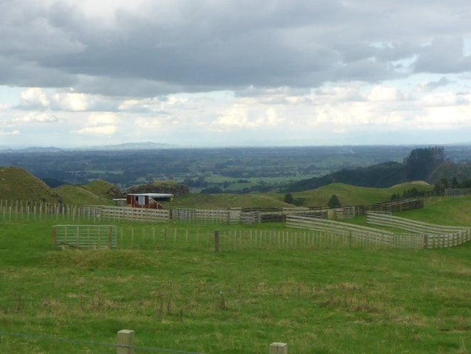
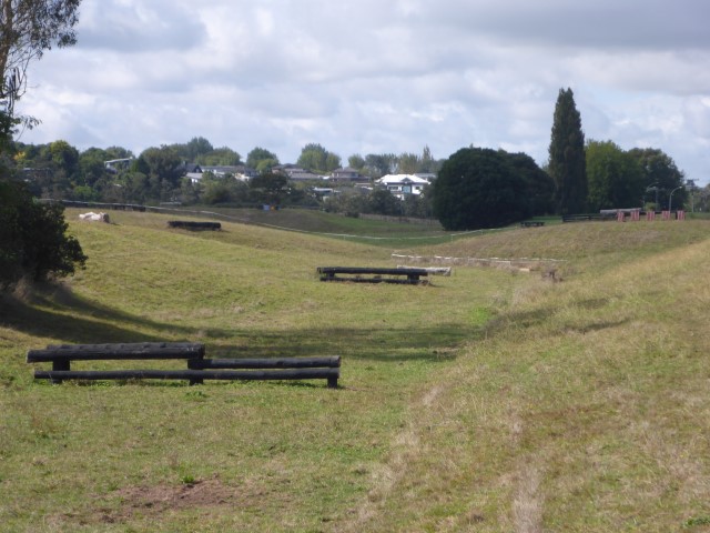
 Farm airstrip just before our stop for the night. Thats it heading down the hill towards the mob of sheep at centre right of photo. Kawhia Harbour is still there!! 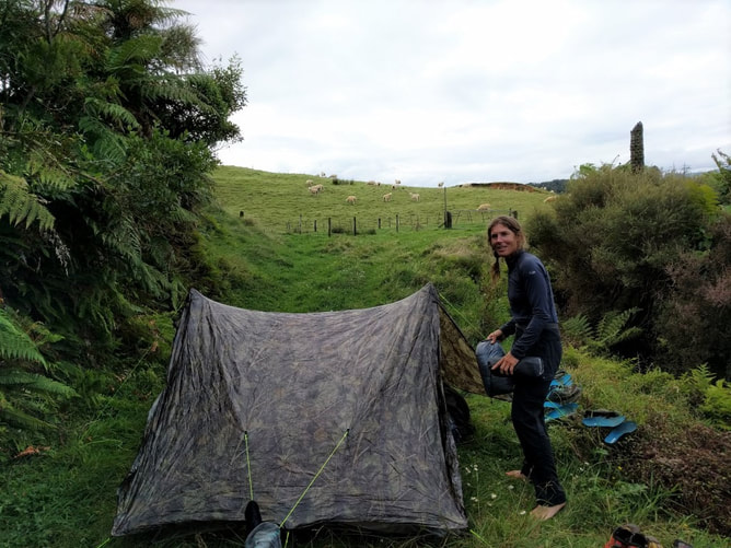 Camp in the middle of the track. Fertiliser bins at top of airstrip are just behind the clay bank in the background above B's head.
2 Comments
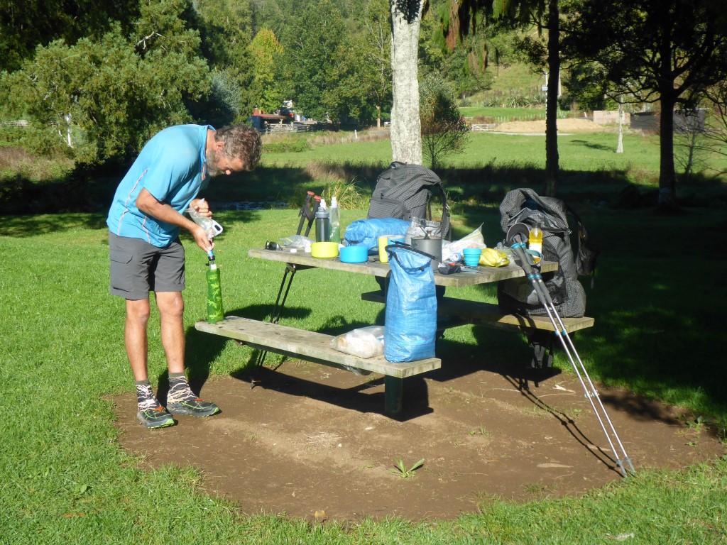
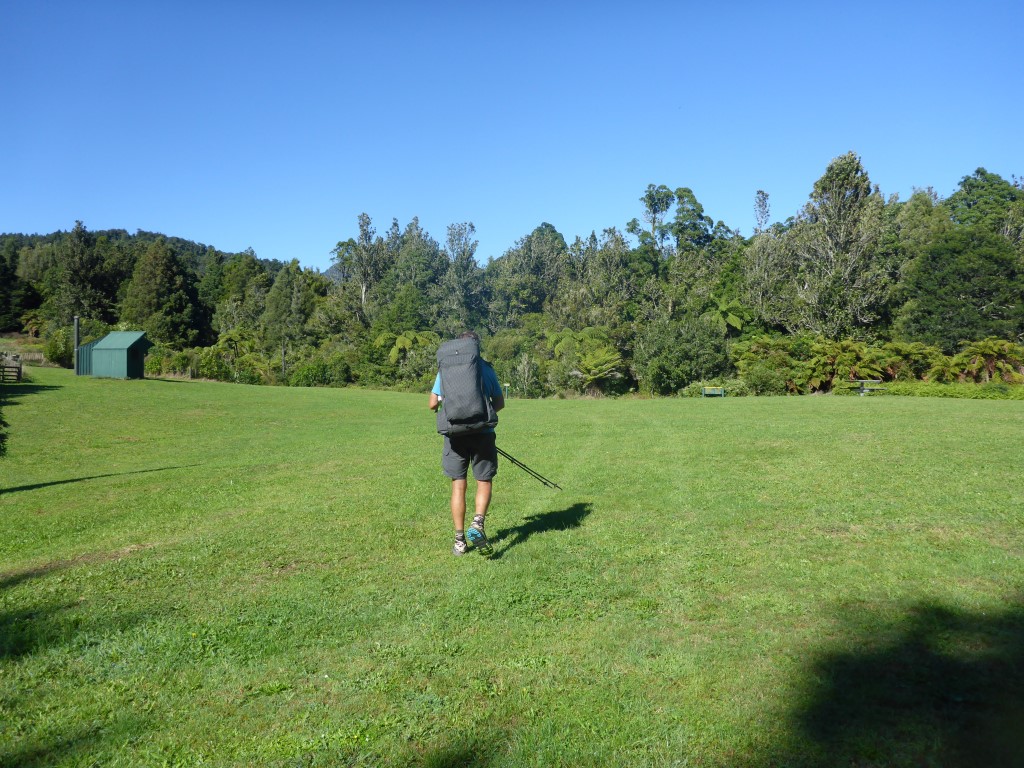
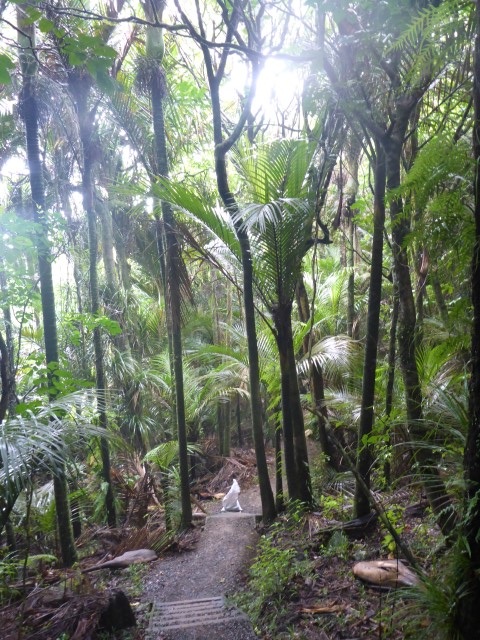
As we didn't have vast quantities of water we left our campsite at 0715 with just a cold snack. The day ended up being around 18km - arriving at Pahautea Hut atop Mt Pirongia near enough to 1600. Not the fastest day but, considering we did over 1000m of ascent and almost 500m of descent over the day, it wasn't too bad for a couple of oldies! After leaving camp, the bush walk continued only for about 1km before we broke out into farmland again. It was dewy so very wet feet were soon the order of the day, although it was nice going for the 2 km or so of farm before coming down by a limeworks and back onto road.
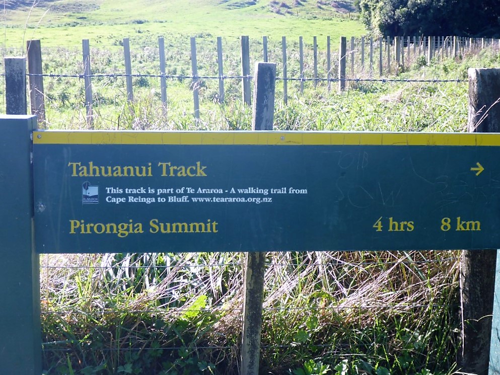
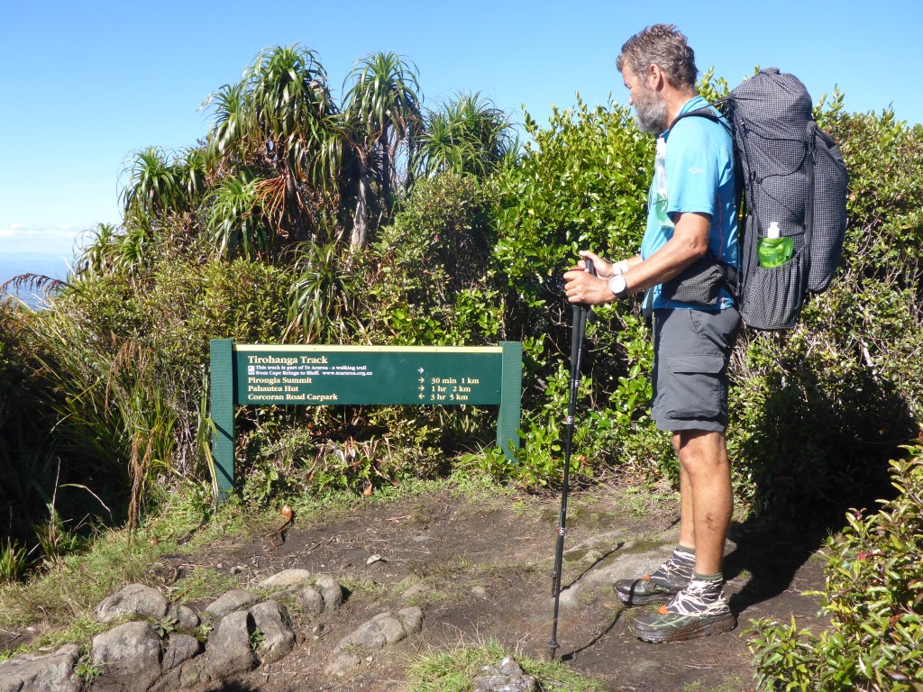
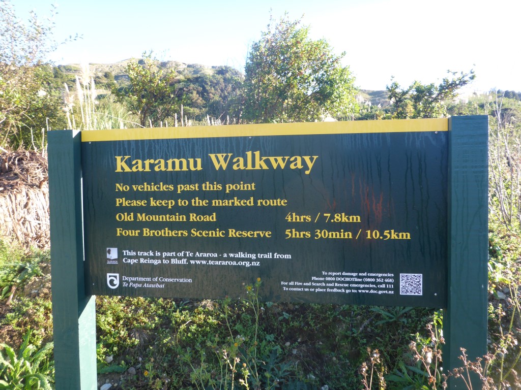
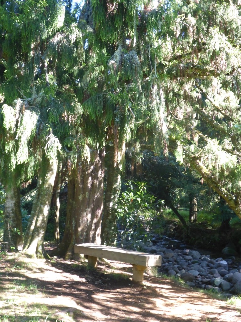
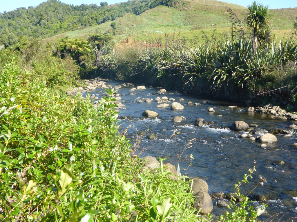
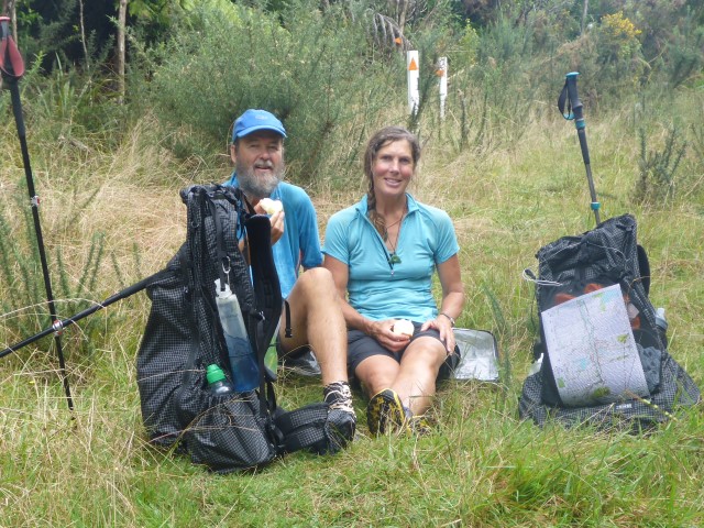
Another 4 km of road saw us reach a small DoC carpark and campsite which is pretty much the start of the walkway up Pirongia. We stopped here and had breakfast for 50 mins or so, including a cuppa! Also topped up our water supplies, from the nearby Kaniwhaniwha Stream, for the climb. We set off following the stream south and after about 600m came to the DoC signs for all the camps and walkways on Pirongia (quite a few!). The sign said our track was 10 km when TA suggested nearer 9km. What's a km or two amongst friends?!
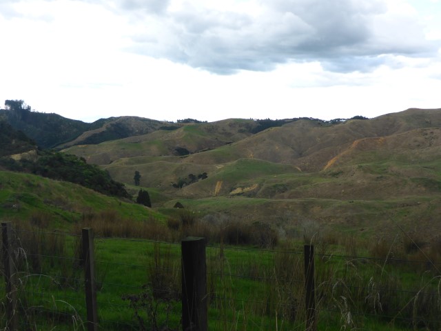
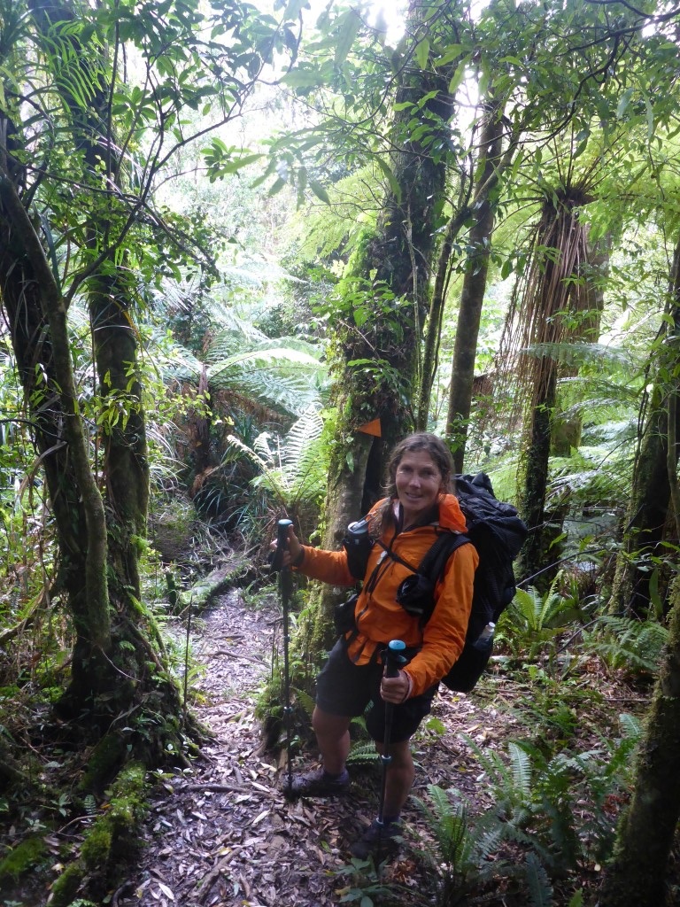
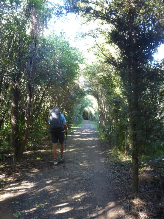
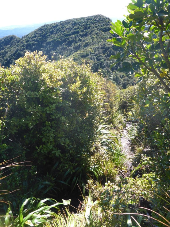
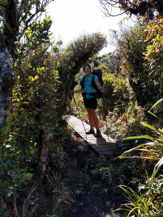
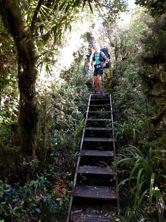
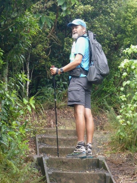
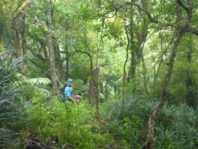
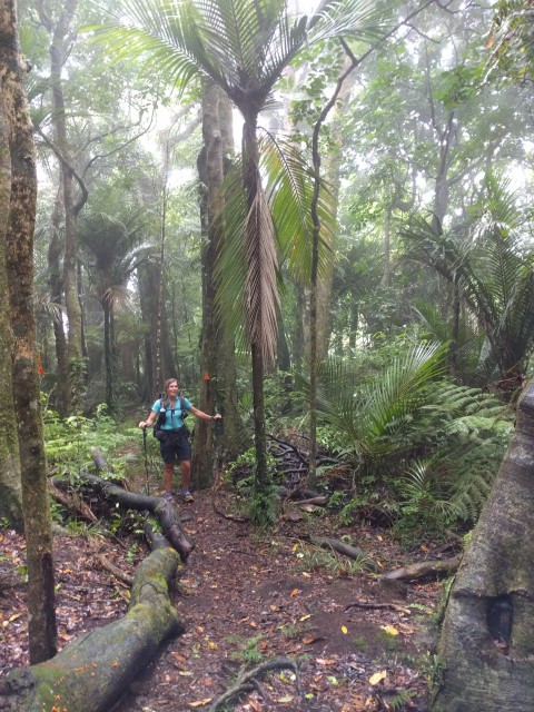
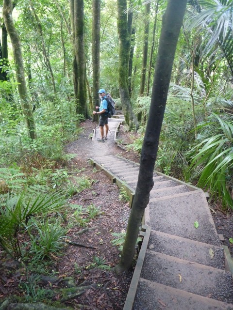
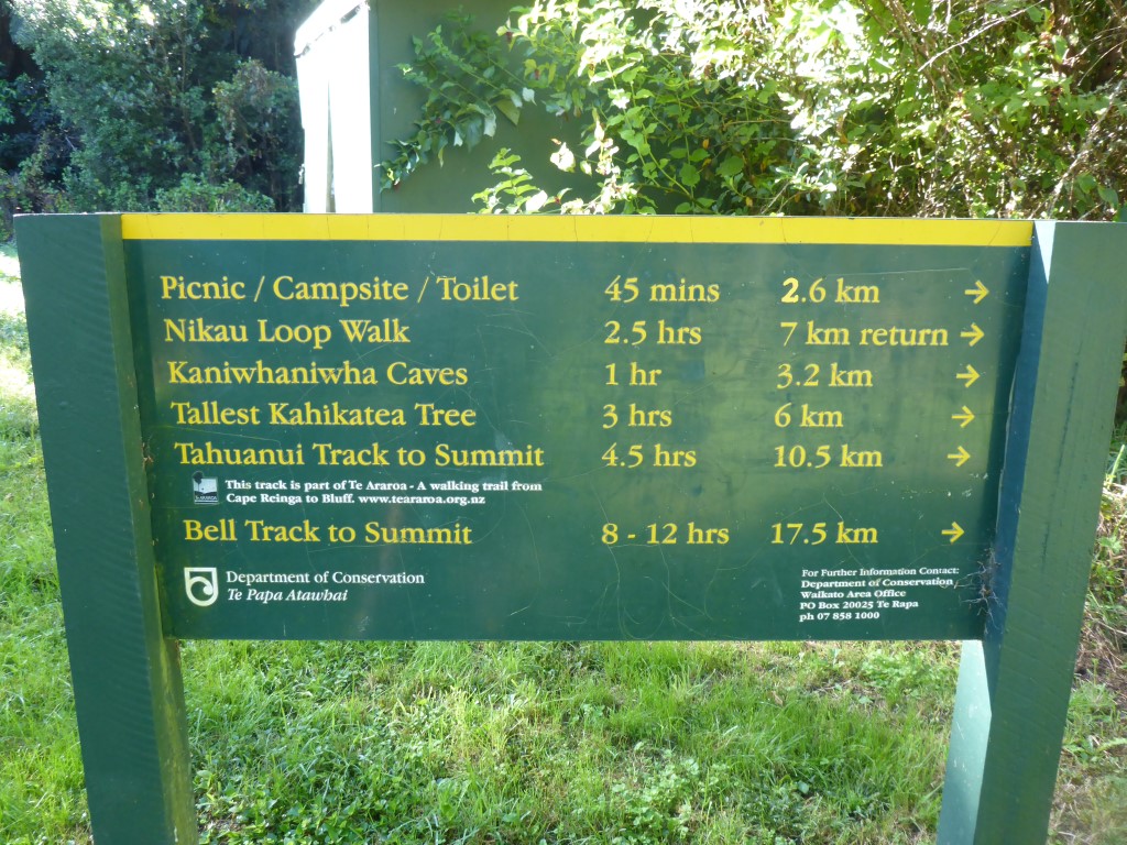 We take the Tahuanui Track - as always with TA, it is the "direct" route!! After our breakfast, we crossed the road from the carpark and started off with some flat road walking for the first 2km or so, when our "goat track" diverged from other tracks up and around the mountain. At this stage the sign said 8 km and 4 hours to the summit. We were only at about 150m ASL here and we had to get to 959m! The first maybe 6km of the track was really rather pleasant - tramping track standard, some mud and obviously steadily uphill, but far from the worst we had seen! However we had been lulled into a false sense of security - this is the TA after all! From here for the last 2 km or so to the summit, the track really was a bit of a goat track - lots of mud everywhere (who knows how it gets so moist high up a mountain when there has been little rain - springs presumably), narrow with lots of steep climbs through tangles of roots, as well as up through rocky patches - pretty much all wet.
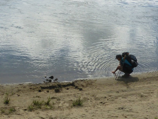
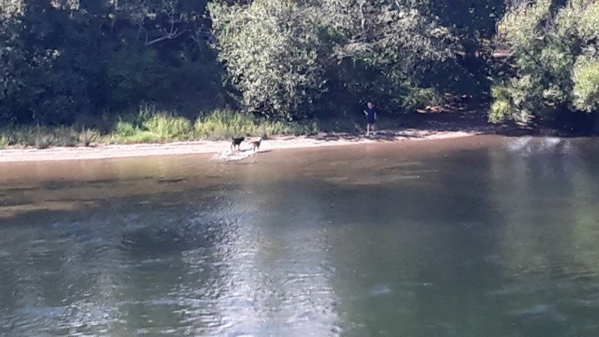
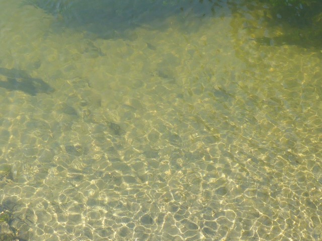
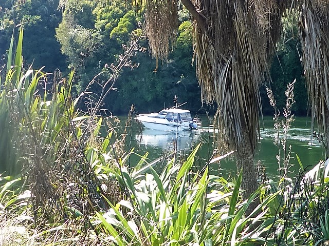
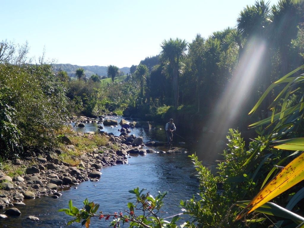 Fisherman at "play" on the Kaniwhaniwha Stream.
 This is our sign at the edge of that camping area.
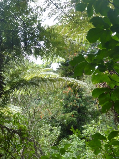
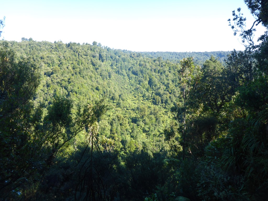 ...... and some great views already.
 Still the occasional great views - weather was just fantastic. 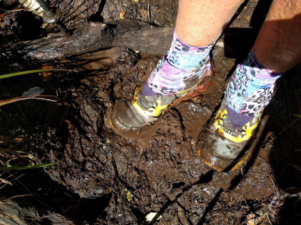 Shoes not too bad at this stage!
 As I note in the blog, it would not be so much fun if you had a bad weather day!
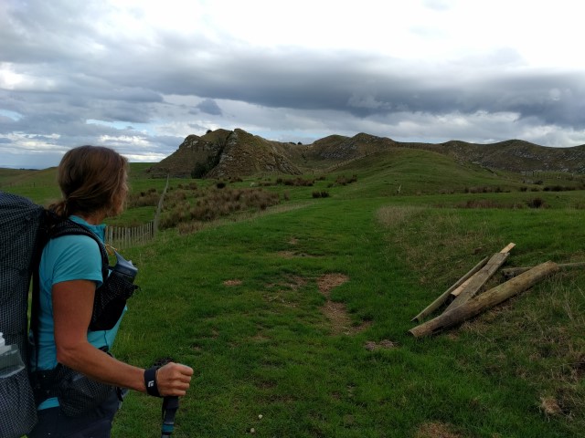
 Still 1km to the summit and 2km to the hut.
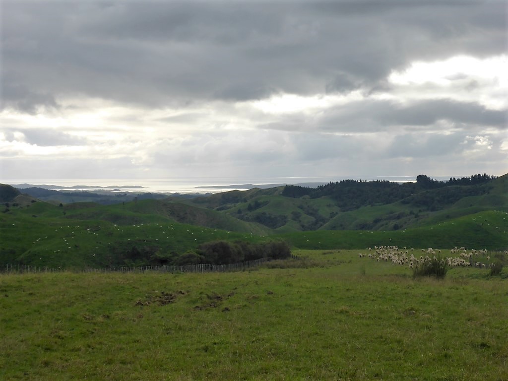
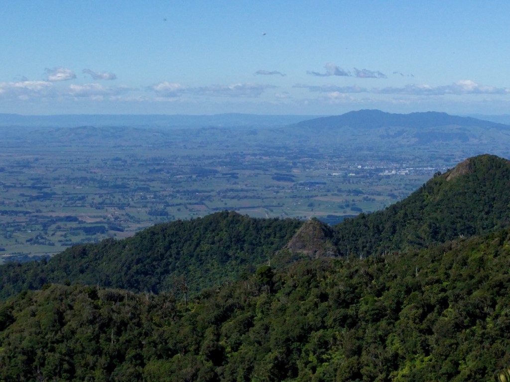
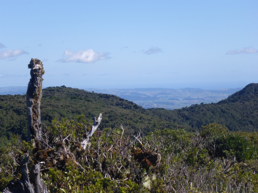
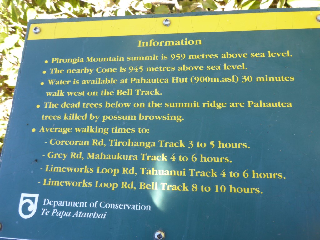
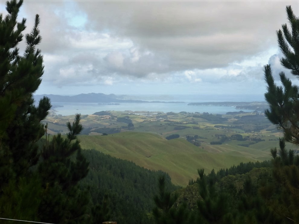
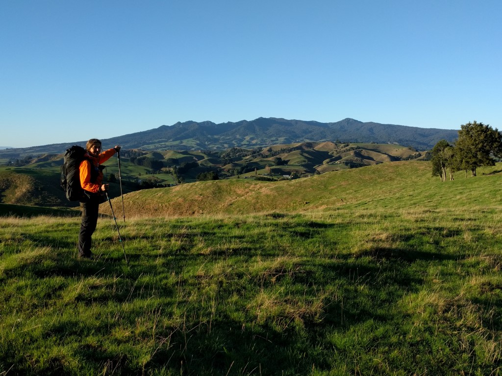
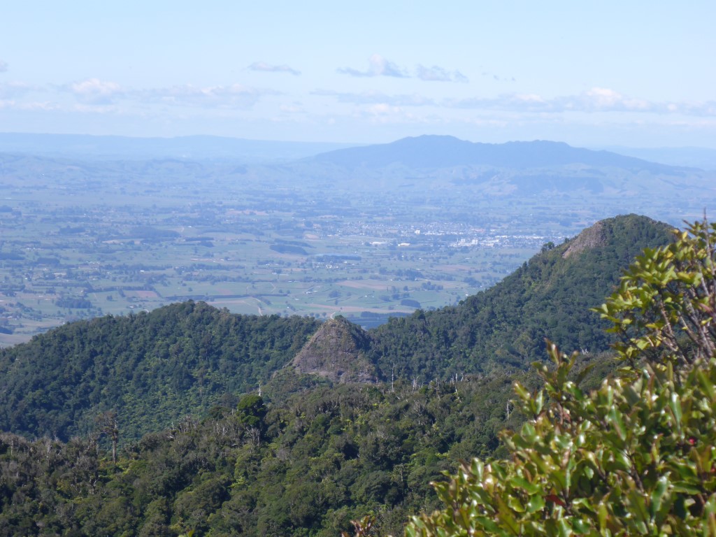
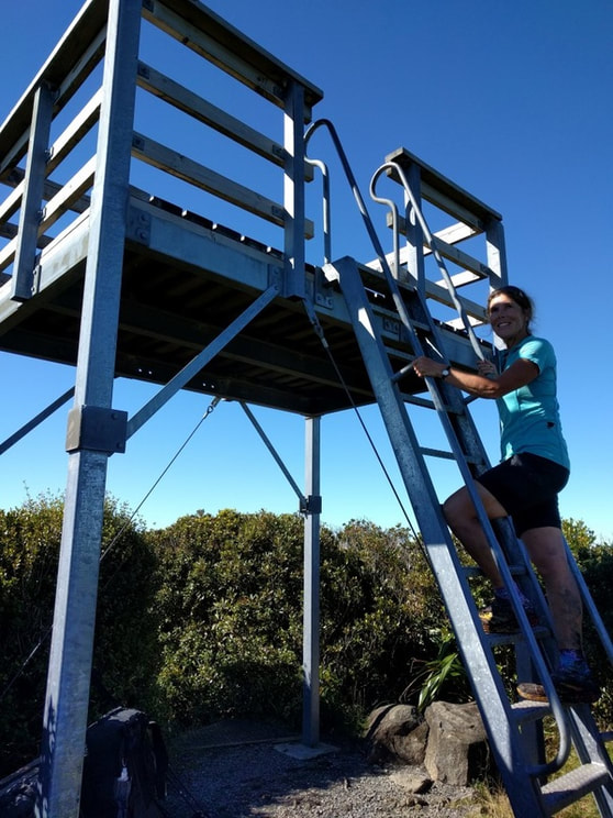
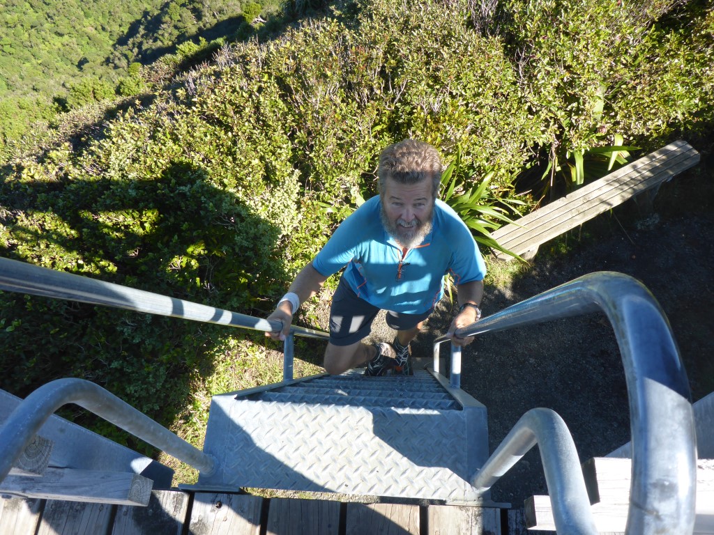
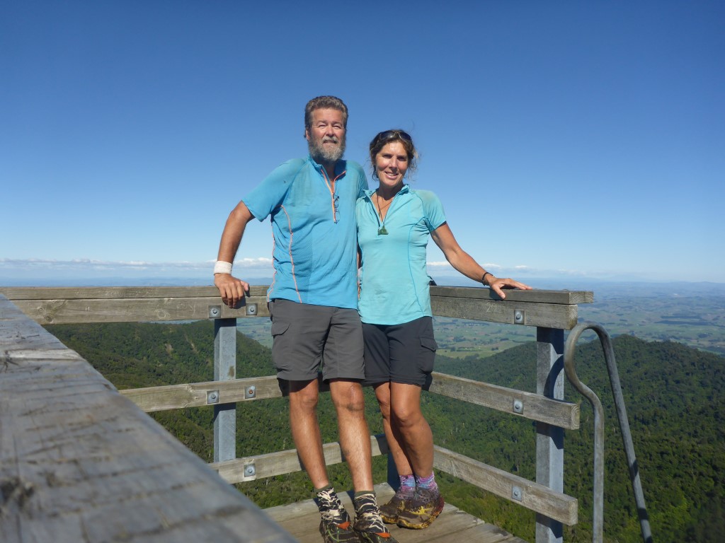
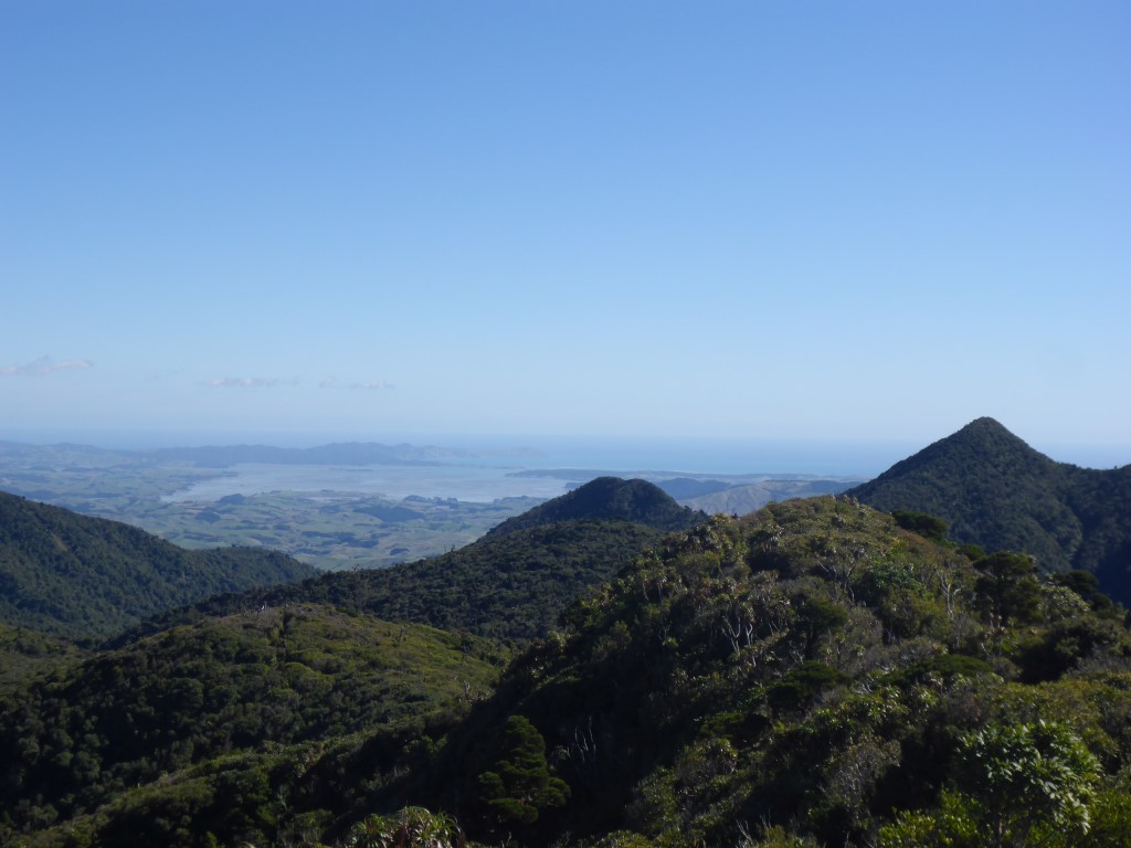
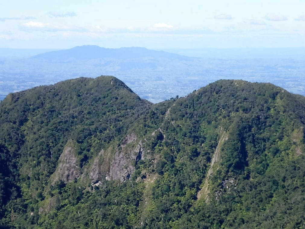
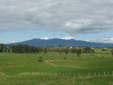
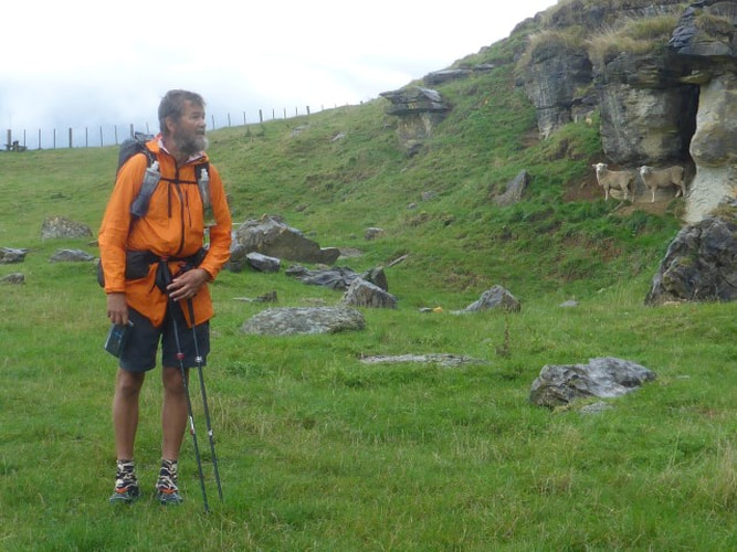
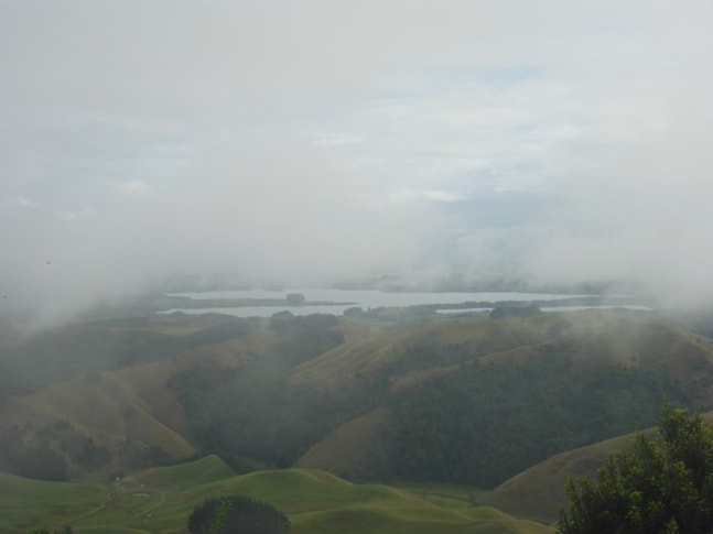
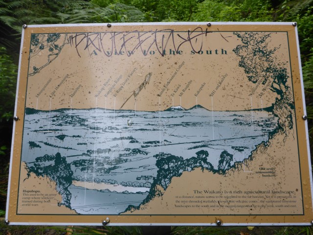
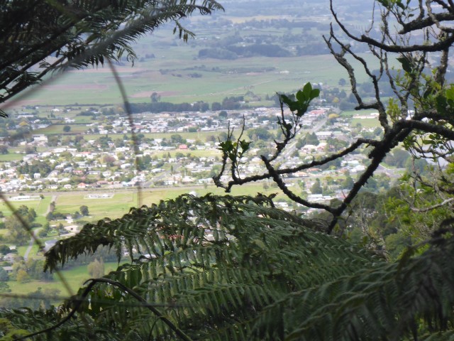
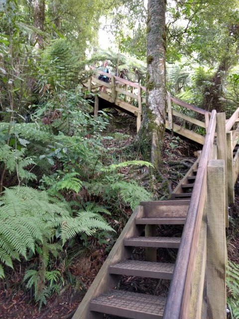
The incongruous thing was that nearer to the summit there were also a few patches of boardwalk and even some steps! We reached the summit about 1400 - meaning we had come in on the lower end of DoC's estimate of 4-5 hrs for the 10 km. Not bad for a couple of old fogies! Glorious 360 degree views from the lookout tower - Kawhia and Raglan to the W/NW, Hamilton to the NE and also looking south to see Ruapehu, Tongariro etc. Stunning fine day as well so that made it all worthwhile. Must be a buggar tramping all the way to the top only to have the weather spoil the views
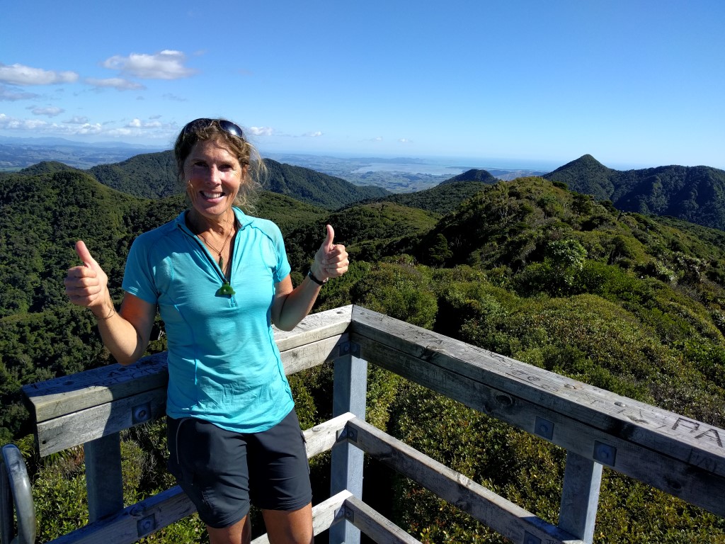 Made it - yahoooo!!!!
 Read for yourselves :-)
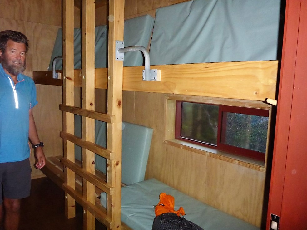
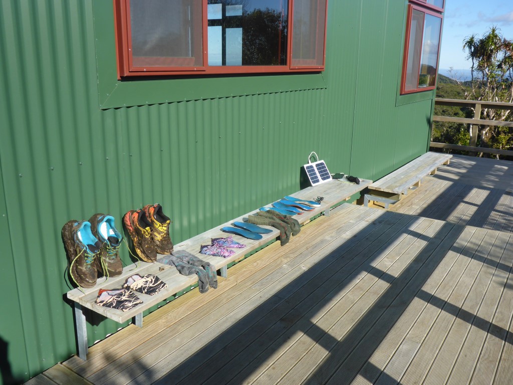
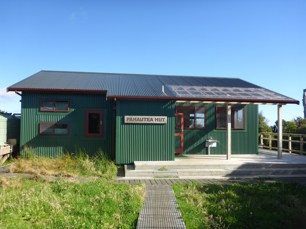
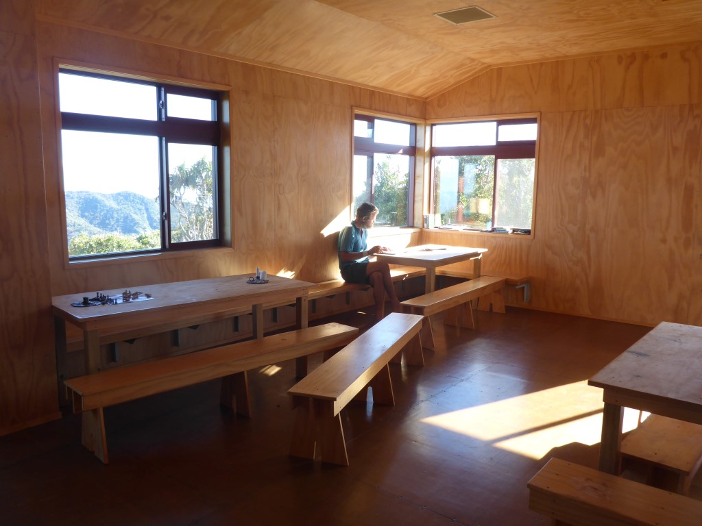
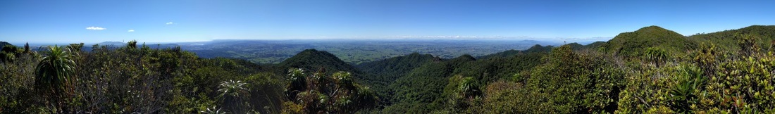 Panorama from the viewing platform. Have included a video I took at the top. Its compressed down to 9MB from the original 300MB so hopefully it will play OK for you. In the commentary, replace "whoflungdungy" with Tongariro and Ngauruhoe!! I had a temporary memory lapse - stagefright! Another very gnarly 1km of mainly descent saw us reach the beautiful new DoC Pahautea Hut. Great place to rest for the night - and we ended up being the only ones here. Shoes etc are very muddy but not worth cleaning as we have what is apparently a similar descent tomorrow - only 5.6 km but expected to take 4+ hours!! We'll worry about that tomorrow!
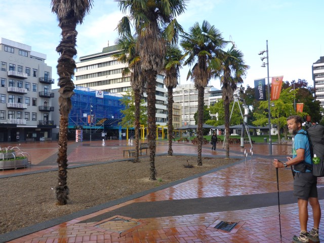
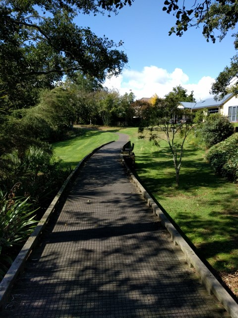
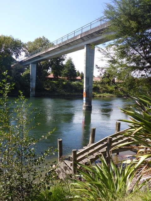
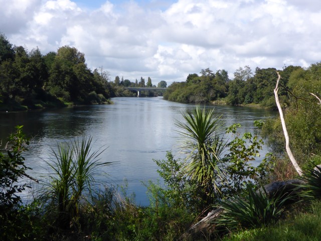
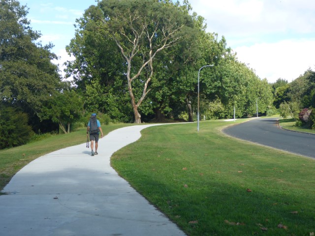
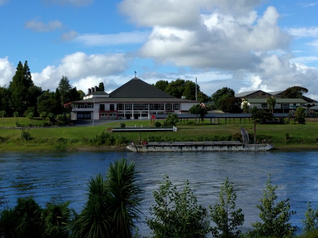
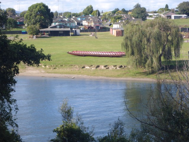
Left the backpackers about 0745 for a quick 300m or so walk to rejoin the trail on the river walk. A further few hundred metres saw us go under the Claudelands bridge and head west away from the river and up through the middle of town. The link to the GPS data from the Suunto Ambit3 for the day is here. If you haven't had a look at this info before, give it a try :-) - there is a whole heap of info about aspects of the day's walk (some useful, some not so!!!) including a map. If you click on "satellite" in the top left hand corner of the map it will look just like Google Earth to give you great info about the type of terrain etc. Stopped at a cafe in town for a quiche for brekkie for me and a bit of gluten free slice for B (she had some cereal before we left!). Then on westward past Hamilton Girls High School and around Lake Rotoroa and on out to Dinsdale.
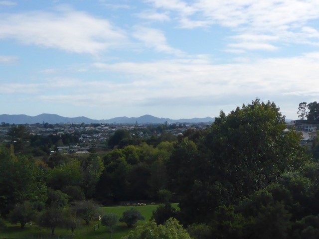
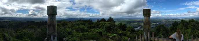
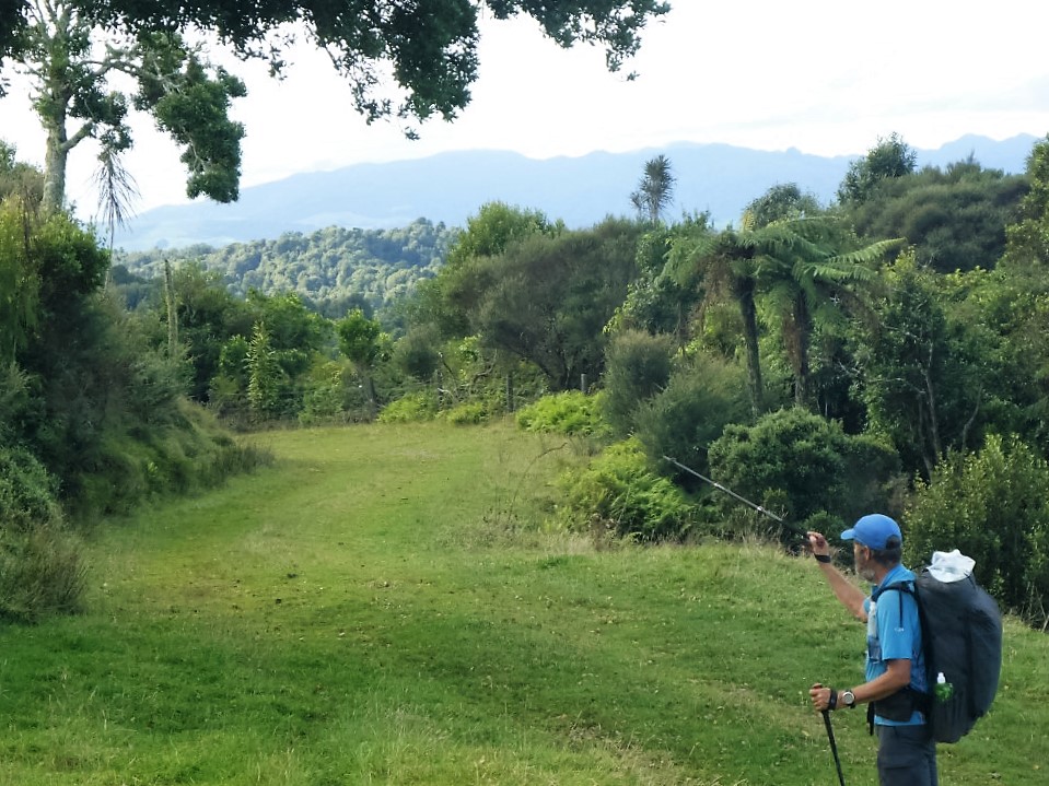
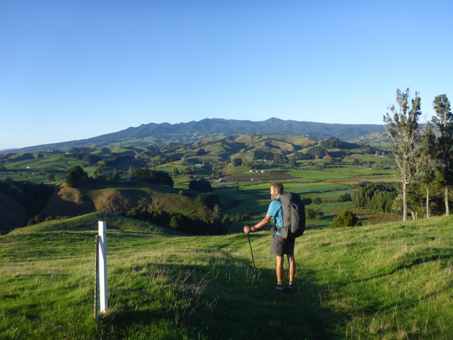
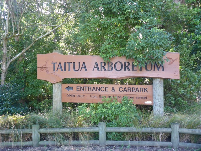
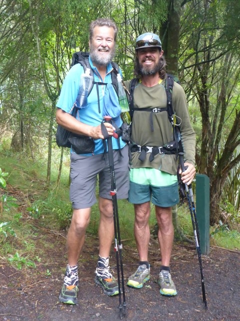
We then headed to a place called Tills Lookout which have us some good views back over Hamilton as well as out to where we were heading. We met a local bloke by the name of Basil walking there - he had done a lot of tramping and walking so spent some time pointing out all the key features to us. It certainly makes a difference - he could point out the Kapamahunga Ranges (that we were heading into) as well as the main peak of Mt Pirongia where we expect to be on Tues night! After this was a mix of pathways, farmland and roads to Whatawhata (that was about the 16km mark for the day). Included in this section was a walk past the Taitua Arboretum. This is a 20ha area gifted by John and Bunny Mortimer to the Hamilton City Council. We decided, with our schedule, not to take a tour - walking through the southern boundary of it on the official TA trail. We had arranged to meet JP there at noon so he could give us our maps for the next part of the journey. So we stopped there at a very nice cafe and had lunch for an hour or so with JP. A very nice break and good food to fuel us for the next 16km! I also took the opportunity to give JP some of the maps we wouldn't need so he could get them home for us (less to carry - thanks JP!).
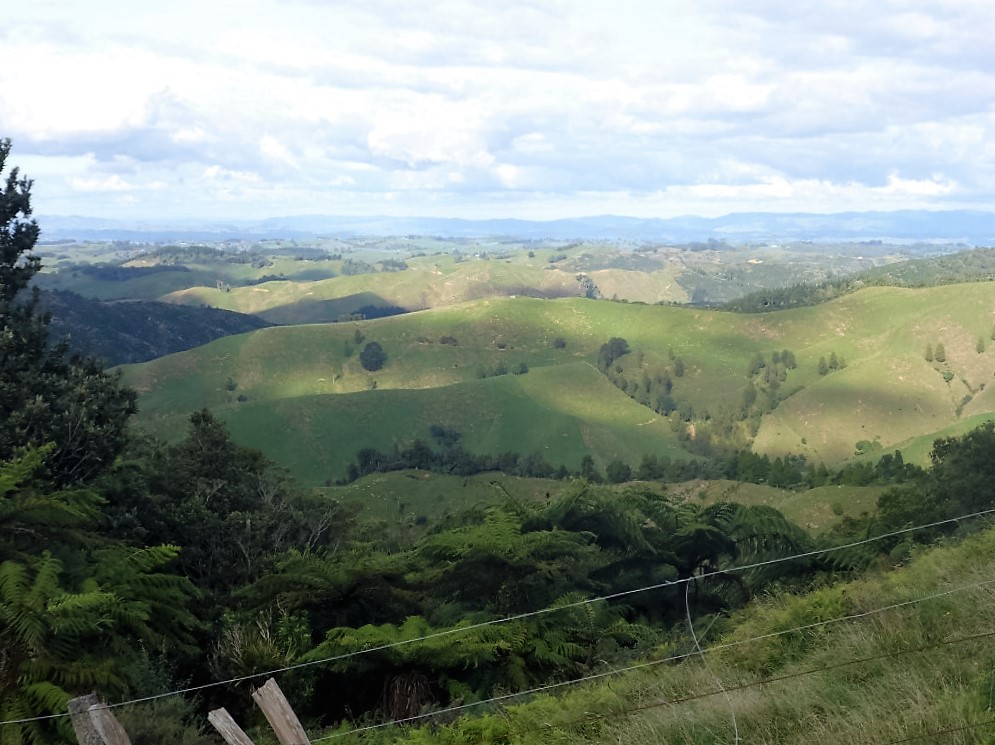
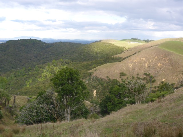
 Looking west out towards the Kapamahanga Range. 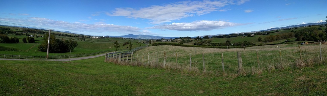 Panorama with Kapamahangas mainly centre on horizon. Mt Pirongia (where we are heading) is the pimple on the horizon left of centre!!
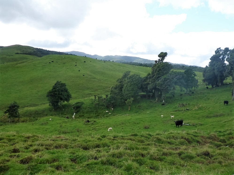
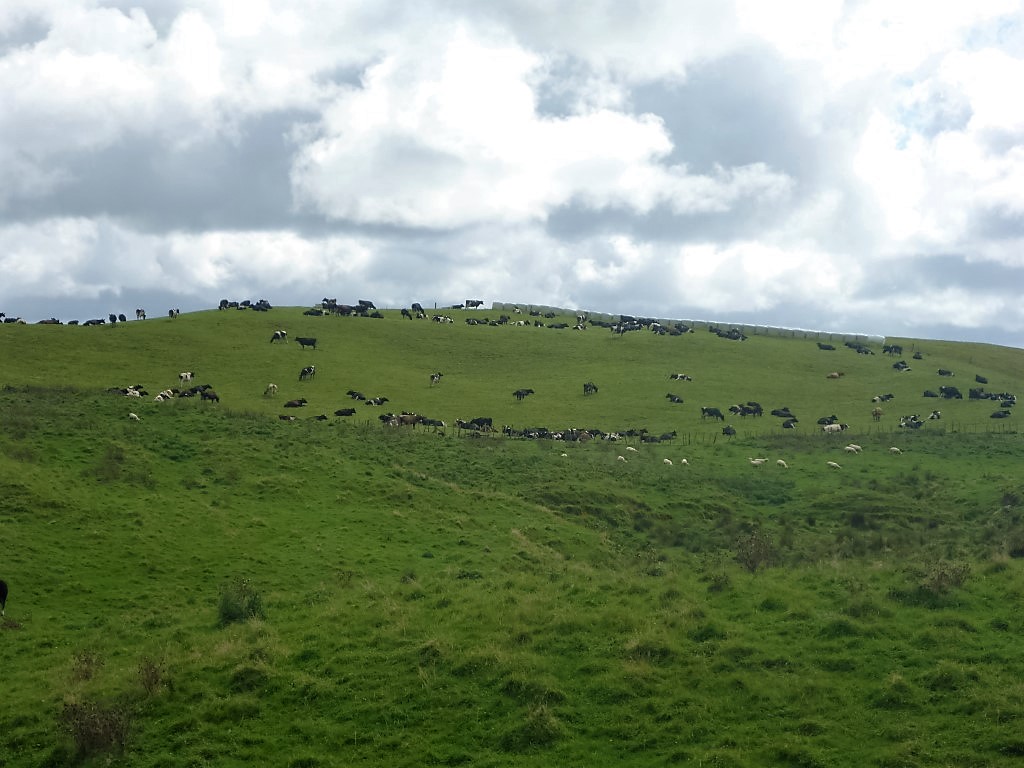
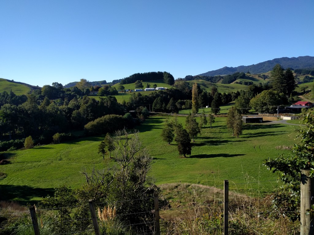
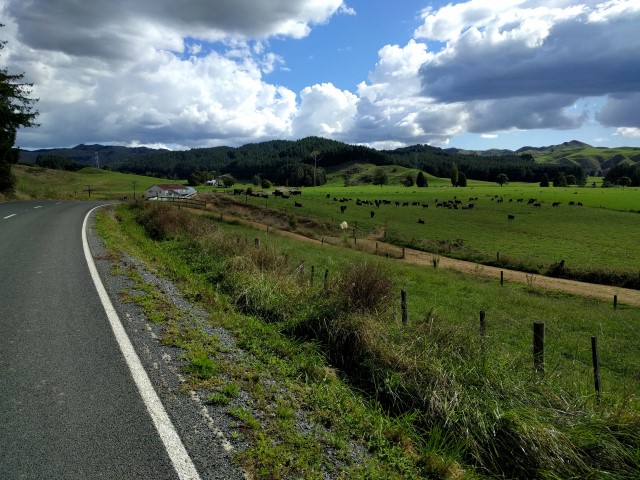
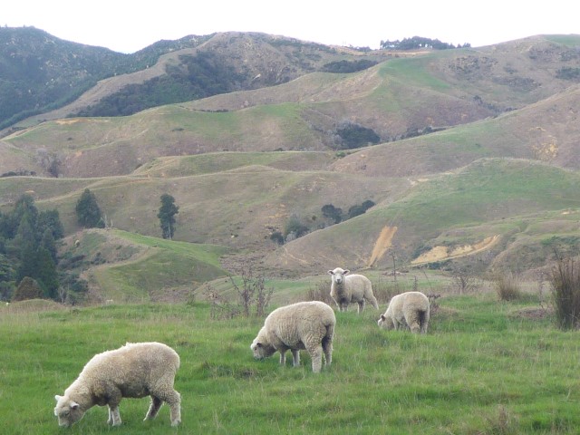
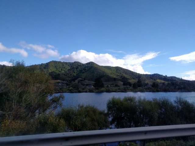
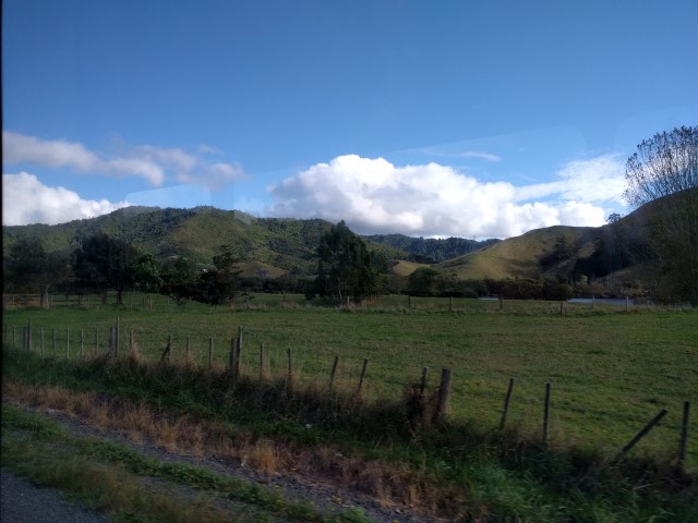
The next phase was more or less following Te Pahu Rd alongside the Waipa River until it met up with Old Mountain Rd - taking us up towards the Kapamahunga Walkway (along the ranges of the same name). The first 2.5 km of Old Mountain Rd was asphalt and fairly flat, then it turned to gravel for the next 2 km, at the same time we went up over 160m, so a steady climb. We got our first shower of rain on Old Mountain Rd near the start of the walkway so waited for it to clear - but were eventually forced into raincoat (me) and new poncho (B). We then turned south onto the walkway which turned out to be farmland through limestone cliffs - nice stock and it was a real pleasure to be walking on hill country again. Just like home! We passed another farm airstrip - those pilots do earn their money!
 Then we were off road and onto farmalnd on the Kapamahunga Range.
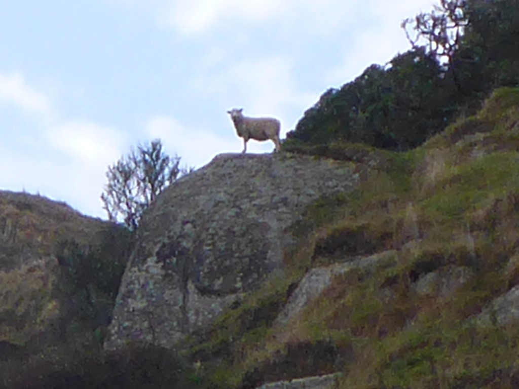 Sentry sheep.
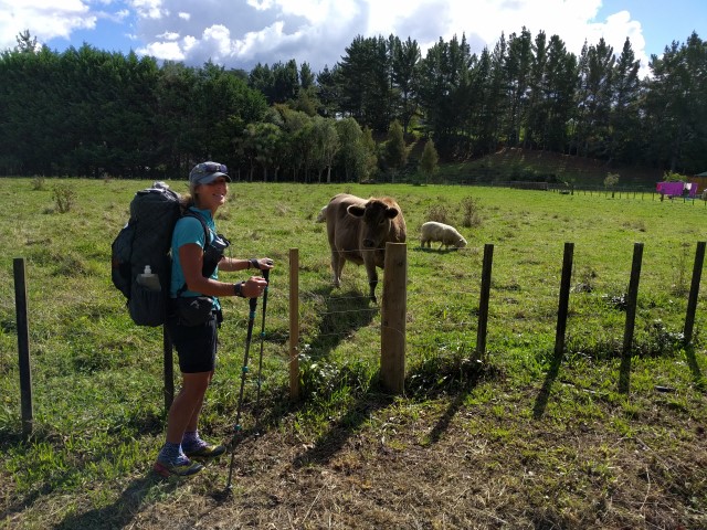
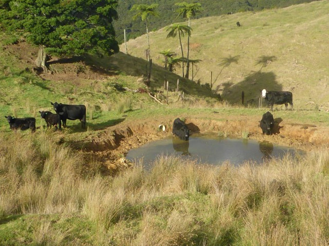 Hill country watering hole for predominantly angus cattle (white face in background!).
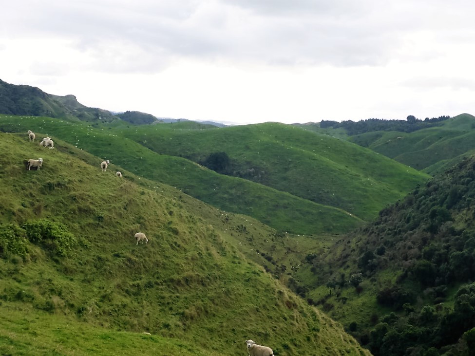
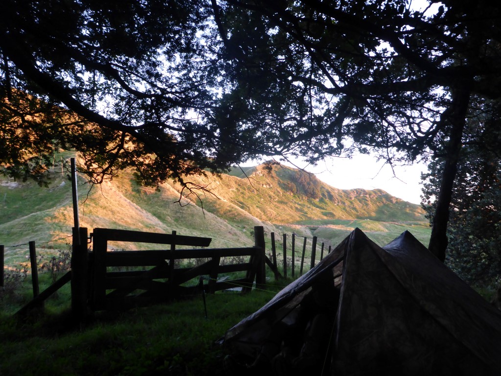
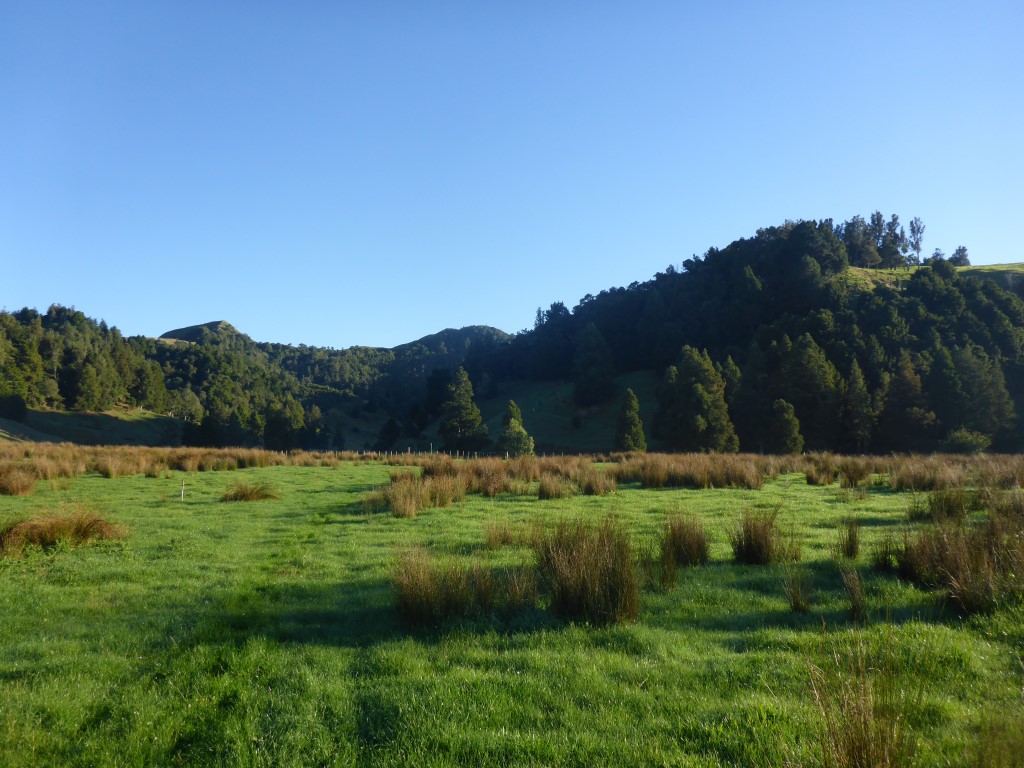
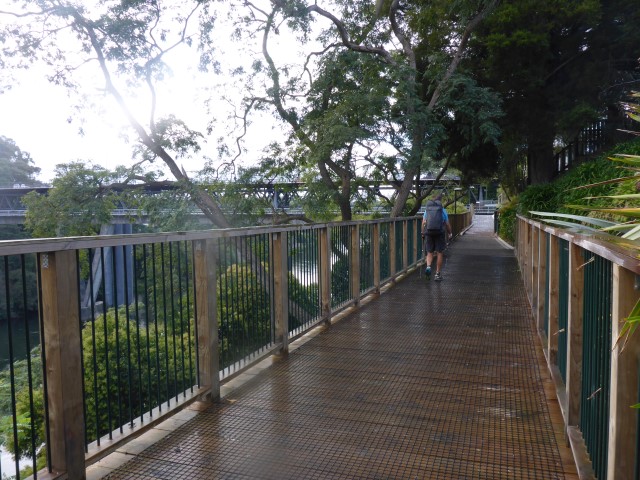
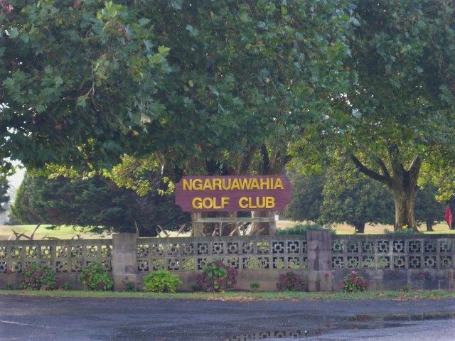
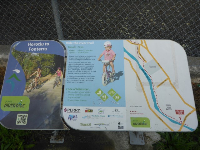
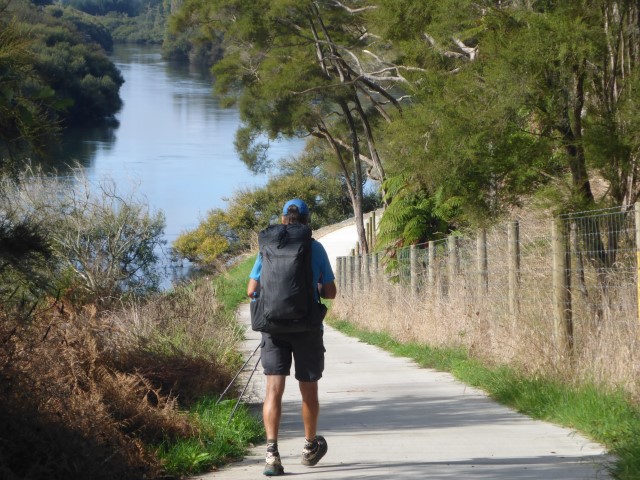
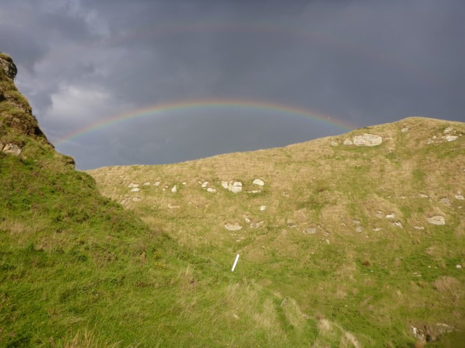 Round that hill and up over a small saddle under the double rainbow before dropping back down. After about 4 km of farmland we entered some native bush that is fenced off. Just in here we decided to camp for the night, stopping around 1715. That should still make it a relatively manageable day getting to the DoC hut atop Pirongia tomorrow. There was a stray sheep in the bush and B decided we should try and get it out - but sheep being sheep that proved impossible!! Nice try but no cigar! Fed and in the tent by 1900 - with daylight saving having ended our evenings are much shorter now - a little adaptation to our planning is required. Hikers midnight is coming earlier every night!! 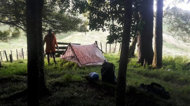 Tent spot for the night just on the bush margin. We left the campsite about 0700 in order to get into Huntly for a 0735 bus to Ngaruawahia. It only takes about 15 minutes and we were dropped off at a bus stop right opposite the one we picked the bus up from yesterday afternoon. We got underway just after 0800. Today's effort was around 20km of relatively flat walking to Hamilton City Centre. We had booked a backpackers room for the night near the city centre. Today's GPS track is here. The first 5km was walking along the old main highway (now bypassed by the Waikato Expressway) out of Ngaruawahia to the Horotiu Affco meatworks. From Horotiu we turned off the road and after just less than one km came to the start of what is called the "River Ride". This is essentially a cycle and walk way from here right through to Hamilton City.
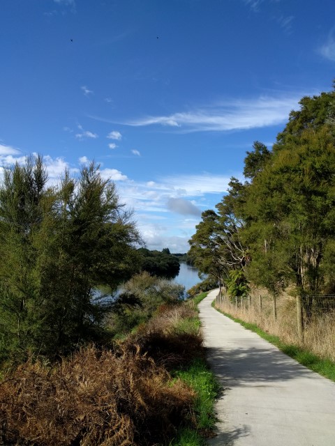
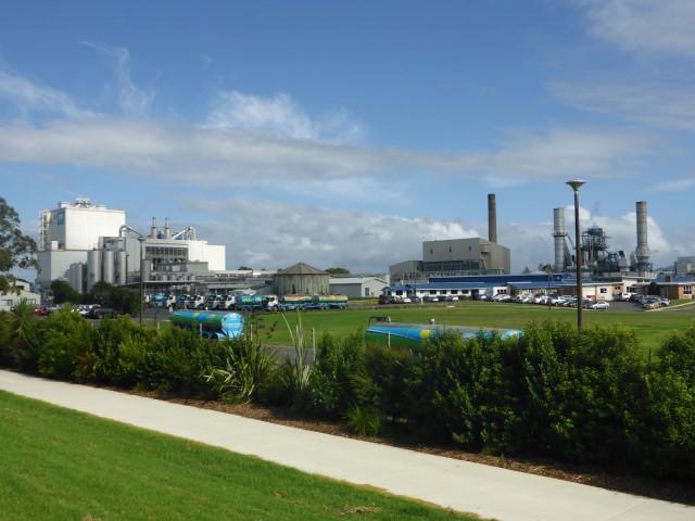
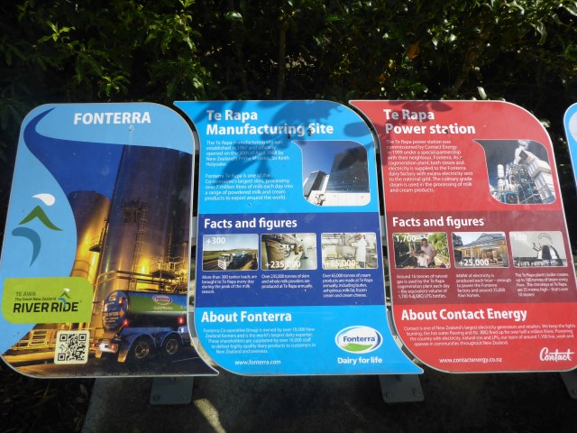
The trail then followed the river for about 2.5km until just past the large Fonterra plant at Te Rapa, where we left the river for about 2km before rejoining it.
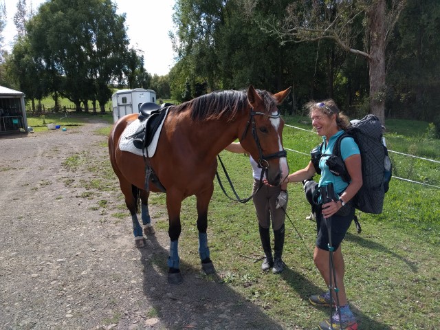
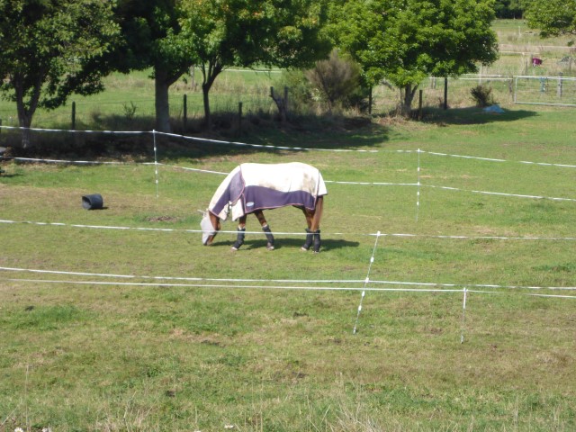
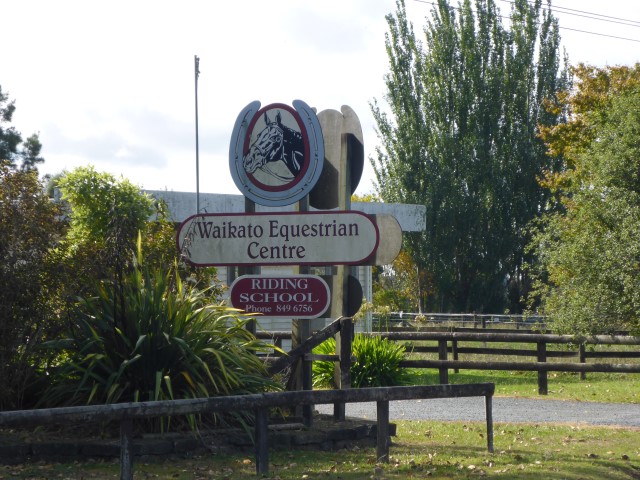
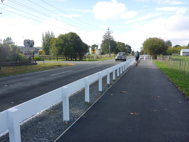
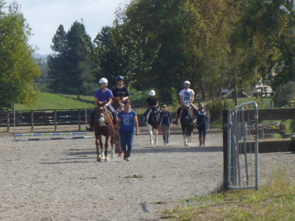
The short road section after the Fonterra plant also took us past the Waikato Equestrian Centre which, of course, made Belinda's eyes light up!
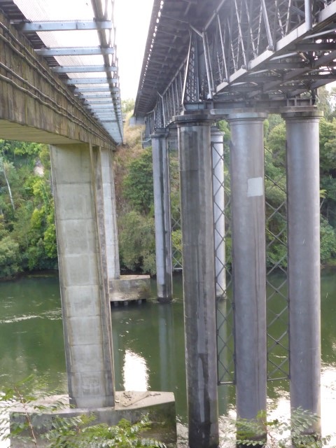
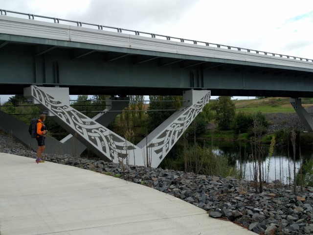
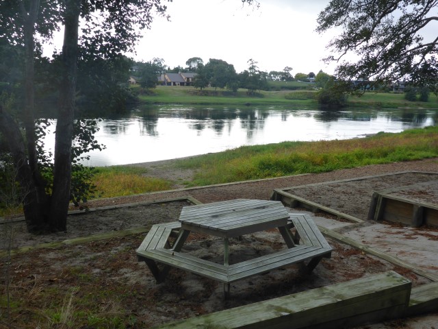
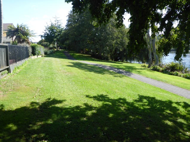
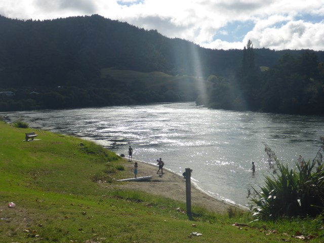
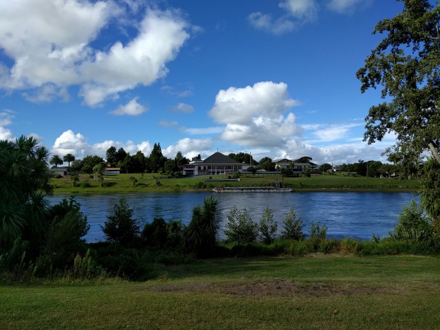
 B dipping her fingers in the Waikato. After getting back alongside the river, the next 9km or so into Hamilton stayed on the river, passing under four bridges along the way. The trail actually has you turning in to the city centre at the Claudelands Bridge (bridge #5) but, as our accommodation was just north of this, we got off the trail before this and headed straight to the backpackers (only about 300m or so off-trail). It had only taken us less than 6 leisurely hours - arriving around 1400.
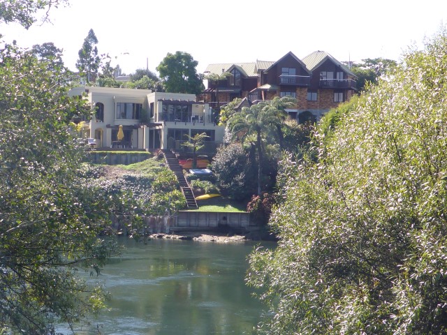
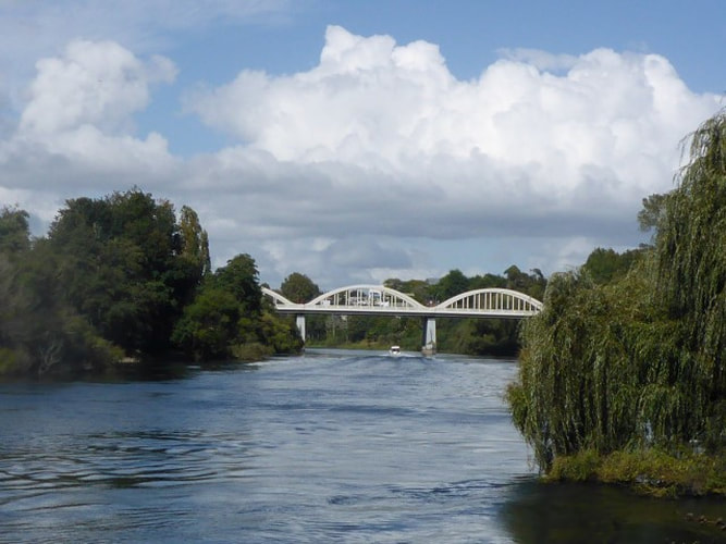 Classical arched bridge - can't remember which one this was! The early arrival allowed us plenty time to walk to Bivouac Outdoor, to Kathmandhu and to the supermarket for a resupply for the next few days through to Te Kuiti. We also arranged to meet up with John-Paul and Sue - friends from Te Awamutu. JP also had our maps from Pirongia south (which I had given to him when we started in October last year) so we needed to lay our hands on them. It was great to catch up with JP and Sue - we ended up going to a tepenyaki restaurant for dinner, which was a lot of fun!! Highly recommended for the "theatre" as well as the food. Turns out JP's memory is dodgy [Sorry JP :-)] and he forgot the maps - so we arranged to meet up on the trail at Whatawhata the next morning to get them off him!!
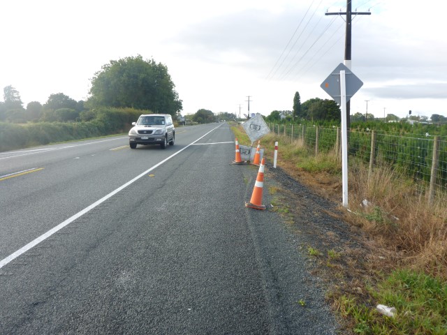
As noted in yesterday's blog, we had been convinced by Carol the manager that we could tramp the next stage to Ngaruawahia with light packs, leaving most of our stuff at the camp, and catch a bus back to Huntly afterwards. We set off around 0710 from the campsite for a 2 km or so walk to rejoin the trail proper - back across the rail bridge to the Huntly West shops. Today's GPS track is here. We ended up doing around 22km - again I managed to pause my watch to talk to people at the bottom of the track and forgot to restart, missing around 2.5km!! The first 8 km of the trail itself was on road to the start of the Hakarimata Walkway.
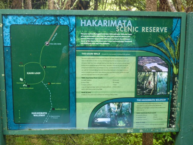
We reached the carpark at the northern end of the Hakarimata Track - which is a 12km or so hike, more or less southwards, along the Hakarimata Range. Just as we were about to set off from the carpark, someone appeared out of the bush walking down the track towards us. The look was unmistakeable!! Garry is an American who is hiking TA nobo - now only 766km or so to finish at Cape Reinga. It was great to catch up with a fellow TAer and we had a good chat for 30 minutes or so. Garry's gear was showing signs of the long hike, with shoes very worn and a walking pole repaired with a rough metal sleeve and lots of duct tape!!
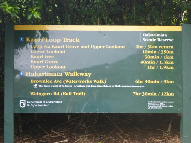
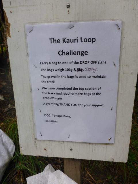
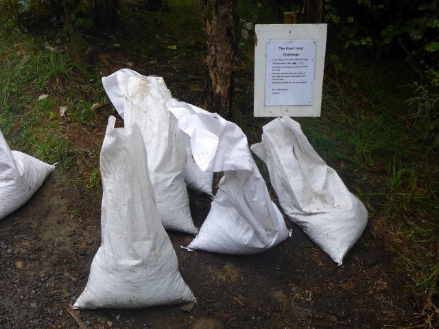
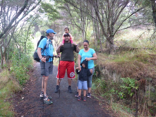
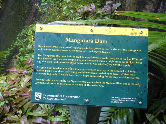
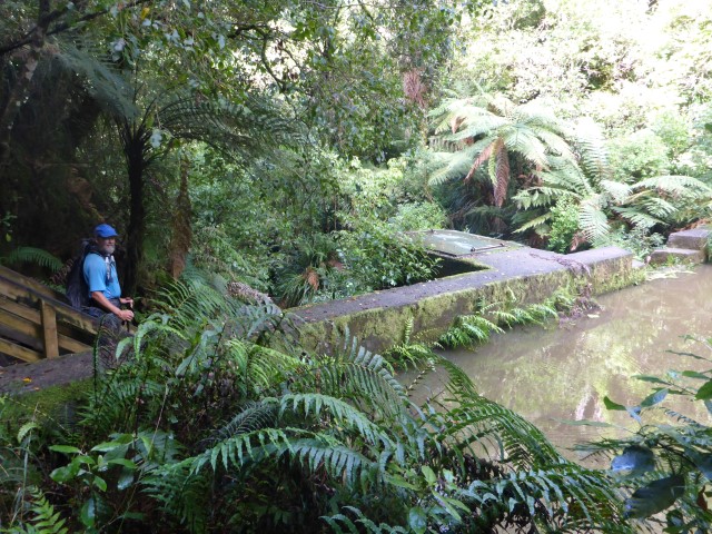
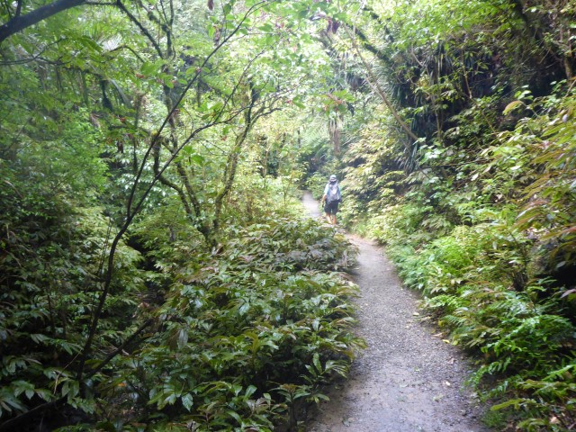
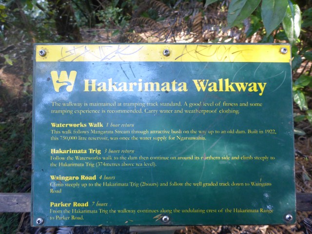
After that unexpected rest it was time to hit the Hakarimata Track!! The first part of the track starts on a realtively well-used Kauri Loop Track. Locals obviously use this part for exercise and the track is well formed to start with, up past three lookouts - the lower, upper and southern. The track is quite good and includes a reasonable number of steps - the gps track shows its a quite steep climb in places. Near the start, DoC offer you the option of picking up a 10kg bag of gravel to take up the hill for track maintenance - a great way of getting fit, but we declined as we didn't want to kill ourselves (and we were treating ourselves to a "slack pack" day)!!! Once we passed the lookouts, the next 8km or so was then through bush on a tramping track along the main part of the range itself. This was not too strenuous - a little up and down but in the range 200-400 asl. At one stage we crossed an old 4WD track and stopped for some lunch. A couple of day walkers came past us and stopped for a brief chat - they were in training for a local walk later in the month.
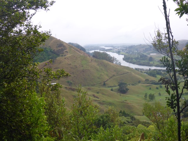
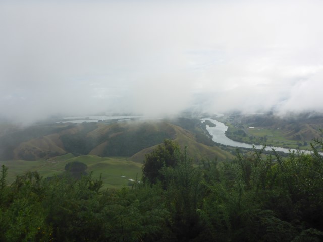
At the end of this 8km tramping stretch, and with around 3km still to go to the bottom of the hill (and onto the streets of Ngaruawahia), we came across a sizeable viewing platform and several locals who had walked up from Ngaruawahia. The views from here were pretty good and we stopped for a while to take it in - especially as the weather was quite nice and we could see a fair way.
 Panorama from the lookout before the descent into Ngaruawahia (which is at right of shot). From here we headed down on what turned out to be (by TA standards) a "Rolls-Royce" track. The track was well formed and gravelled, but the most impressive part was the elaborate steps on the way down. It is pretty steep in places and there were literally hundreds of steps. Someone suggested 500 or so - not in the league of our steps up Saana Fell in Finland, but a lot nonetheless!!! It was also great to see so many locals out climbing up the steps on a Sunday - from young kids, through teens to adults. We even saw our first person carrying one of DoC's bags of gravel up the steps - looked like hard work. Also saw a fireman in full kit who was training for the annual Skytower climb - really hot in full firefighting gear, including oxygen tank on his back!!
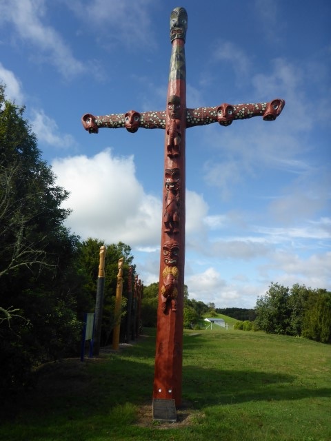
We eventually reached the bottom on the outskirts of Ngaruawahia and made our way through town - could also clearly see Turangawaewae Marae (seat of the Maori king) on the other side of the river. Ended up at a bus stop on the old main road out of town to catch the bus back to Huntly. This was achieved successfully (at the cost of $3.60 each)! We stopped at our cafe in Huntly for an early dinner (from memory about 1700) before walking back to the camp for the night.
Planned rest day in Huntly today. Not much to report!! Caught up on washing (clothes and ourselves!!) and took a walk into Huntly for a bit of a look around and some more food from our now favourite cafe in town! Also gave us time to do a little food packing (although its only two more walking days to Hamilton and another restock opportunity) and to organise accommodation in Hamilton. Chatting with Carol, she suggested a different approach to the Hakirimata Track (Huntly to Ngaruawahia) that she had suggested to a number of other TA hikers. There is a regular commuter bus between Hamilton and Huntly, stopping at towns along the way, including Ngaruawahia. As an upshot of this discussion, we decided we would walk from Huntly to Ngaruawahia the next day (Sunday) with light loads ("slack packs"), leaving the rest of our gear at the campsite and catch a bus back to Huntly from Ngaruawahia. This would allow us to stay a third night at the camp. We could then catch an early morning bus back to Ngaruawahia on Monday morning for the next leg into Hamilton. Seemed like a fantastic idea to us!!
|

AuthorBelinda and Anthony (aka Tony) Hadfield made a decision, in their late 50's, to do something a "bit different" and walk New Zealand's 3000km Te Araroa Trail over summer 2015/16 - although updates will now tell you that this plan will take longer now!!. As the old saying goes - "don't leave home 'til you've seen the country"!! Archives
January 2018
Categories |


 RSS Feed