|
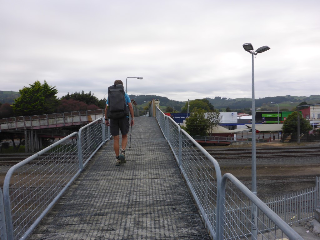
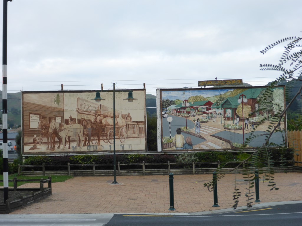
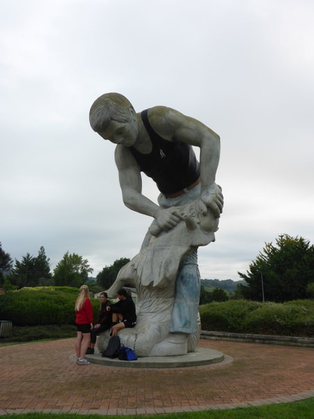
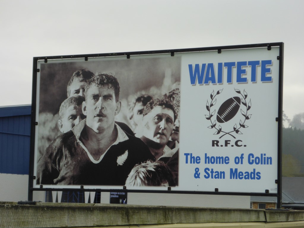
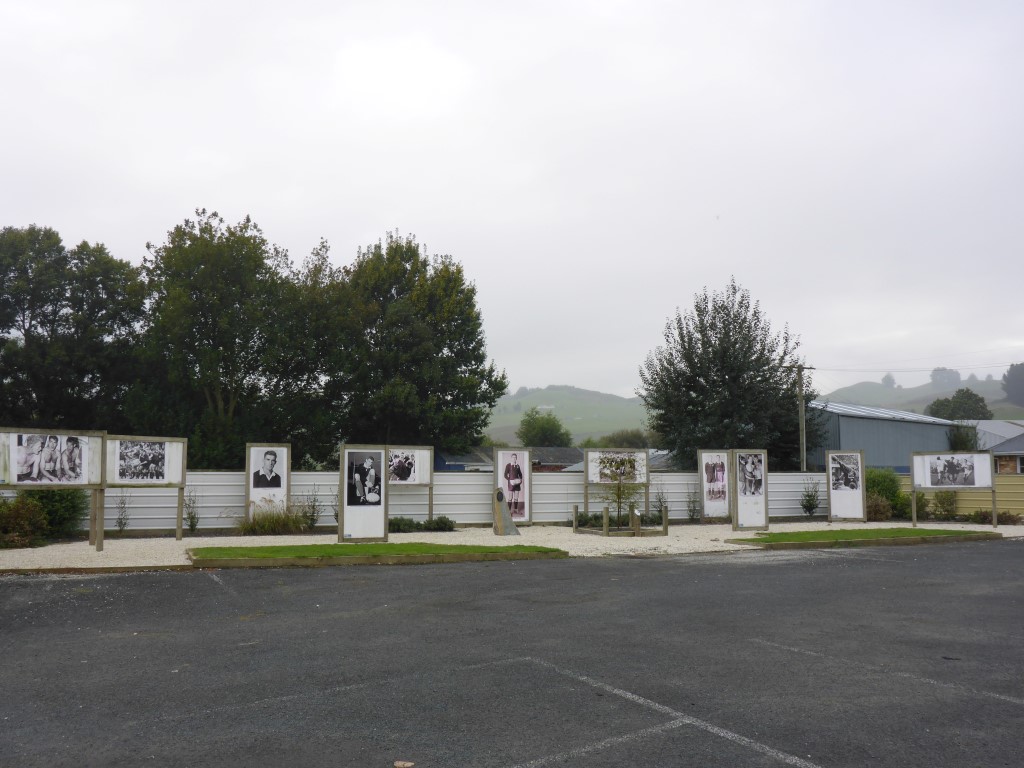
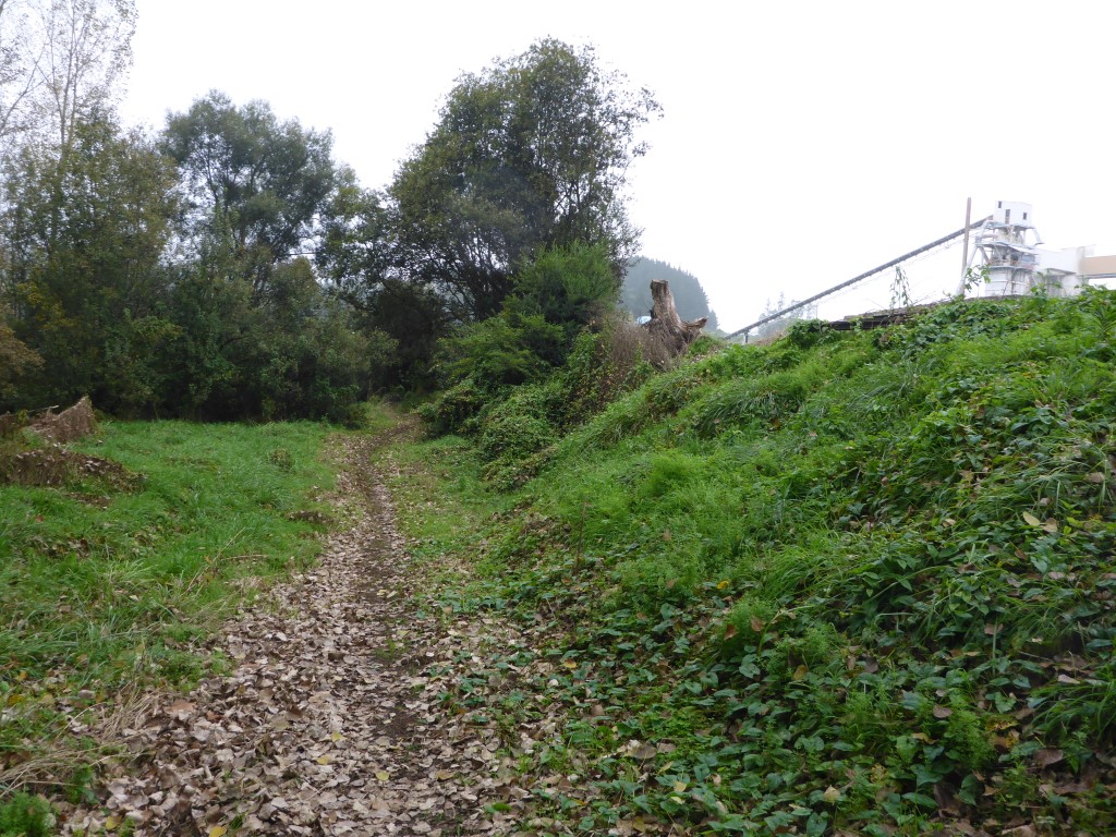
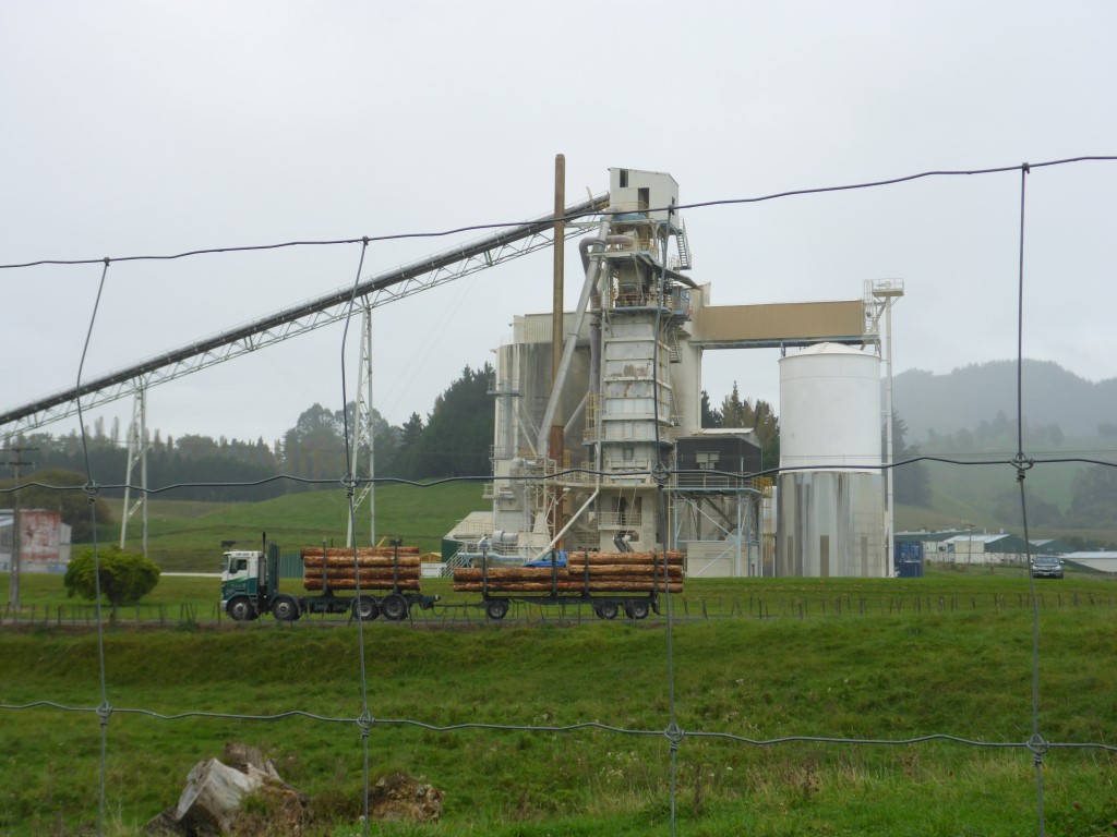
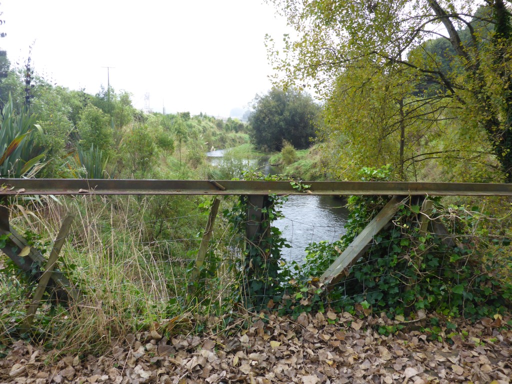
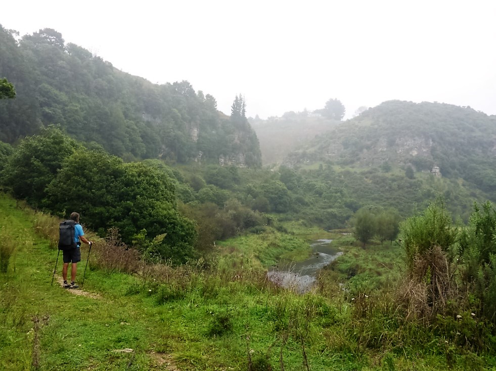
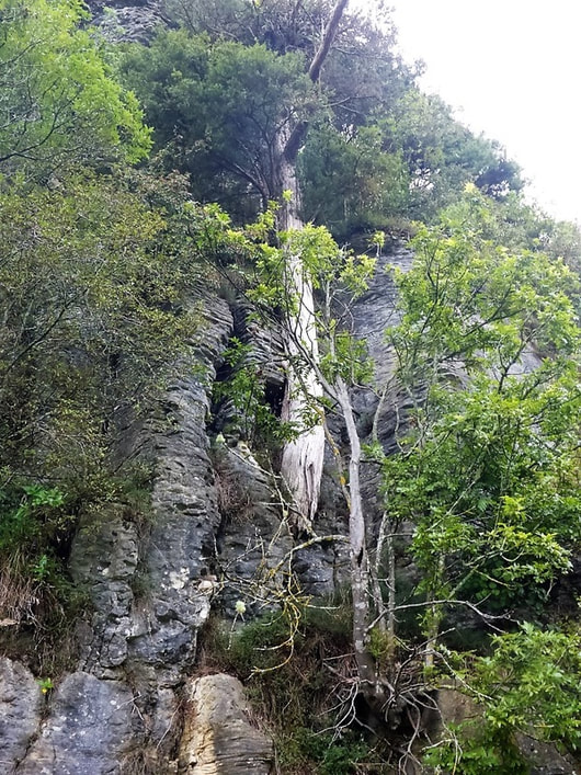
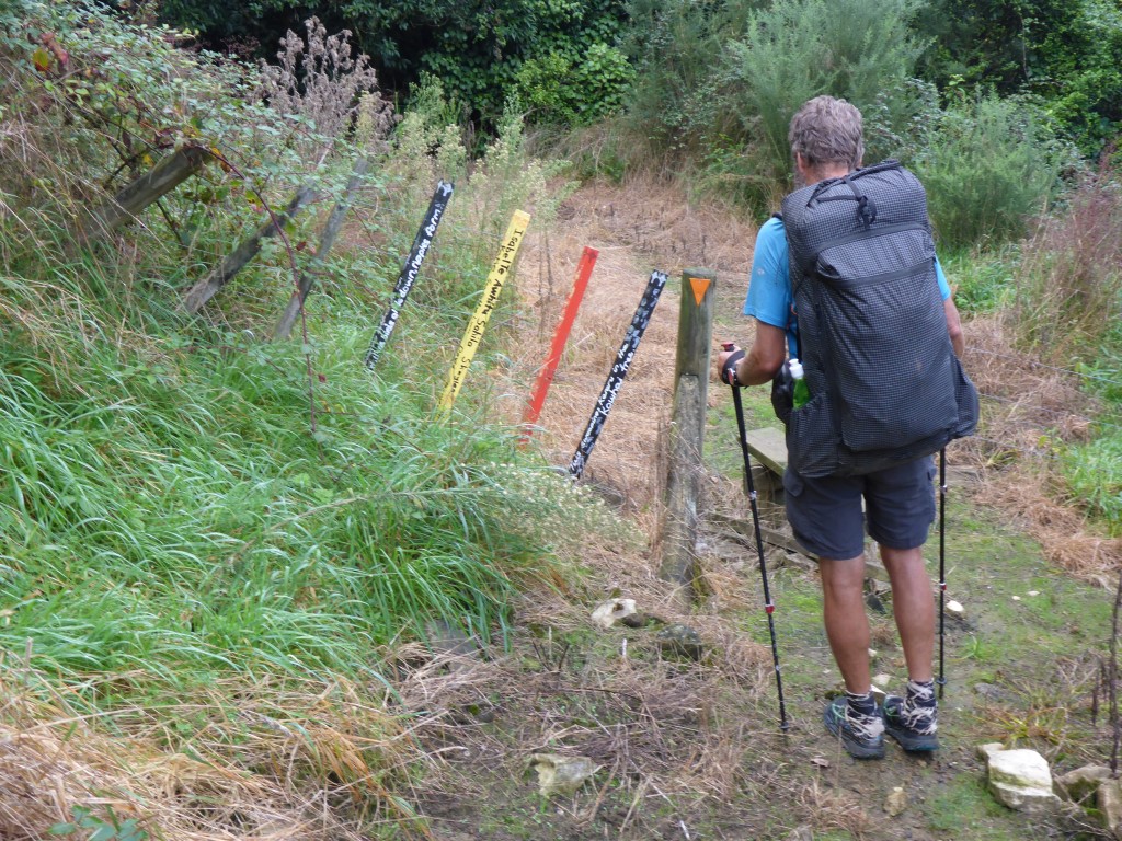
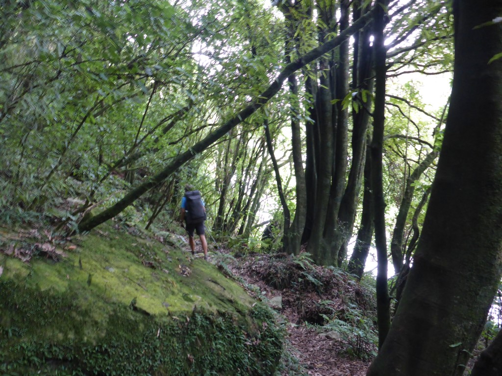
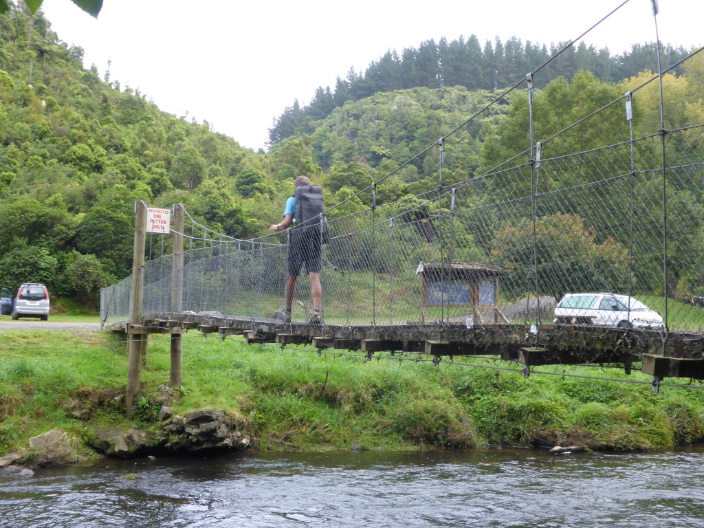
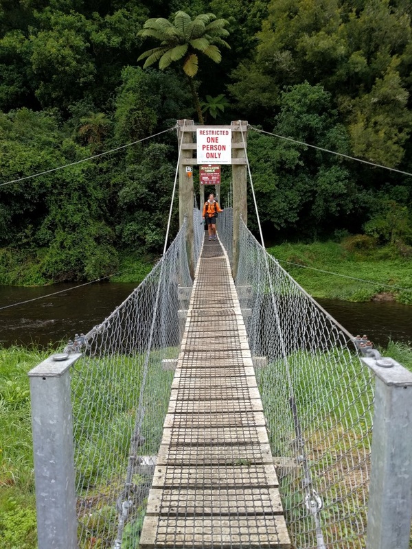
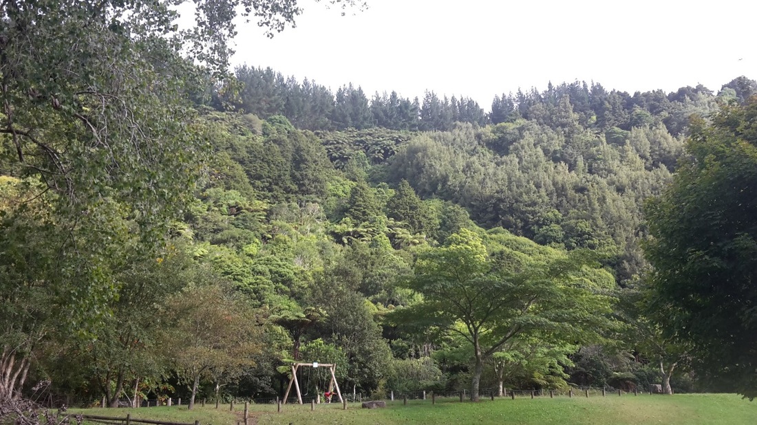
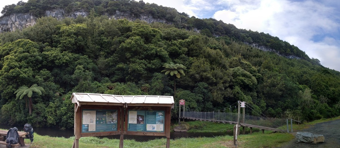
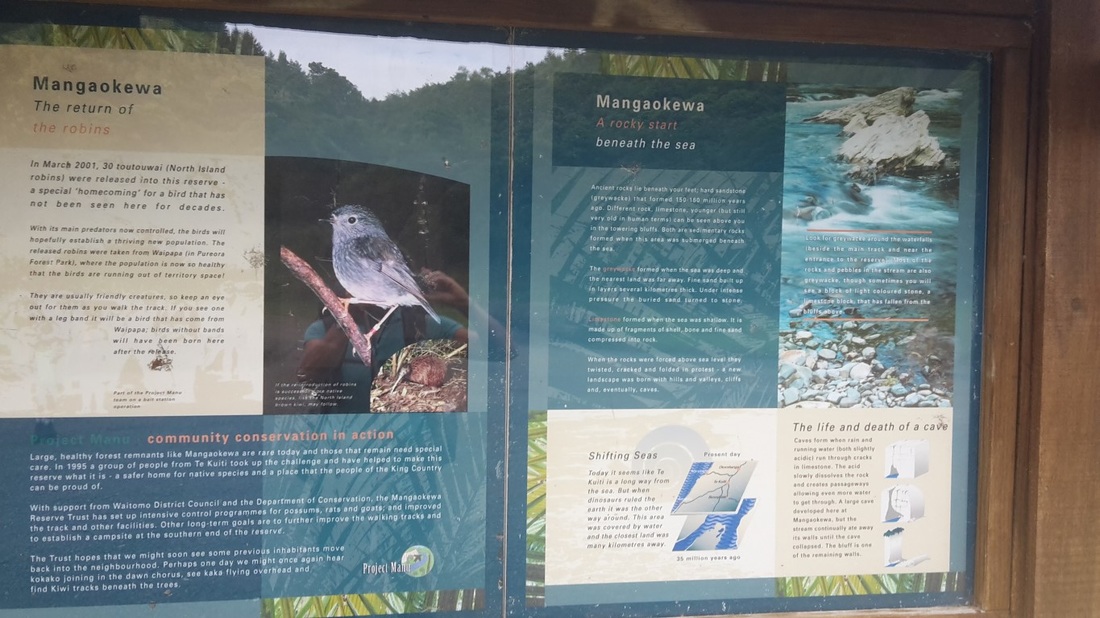
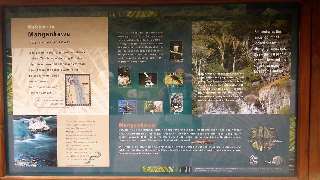
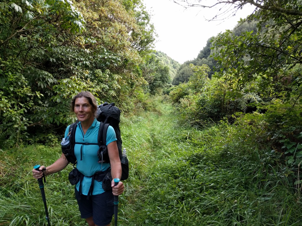
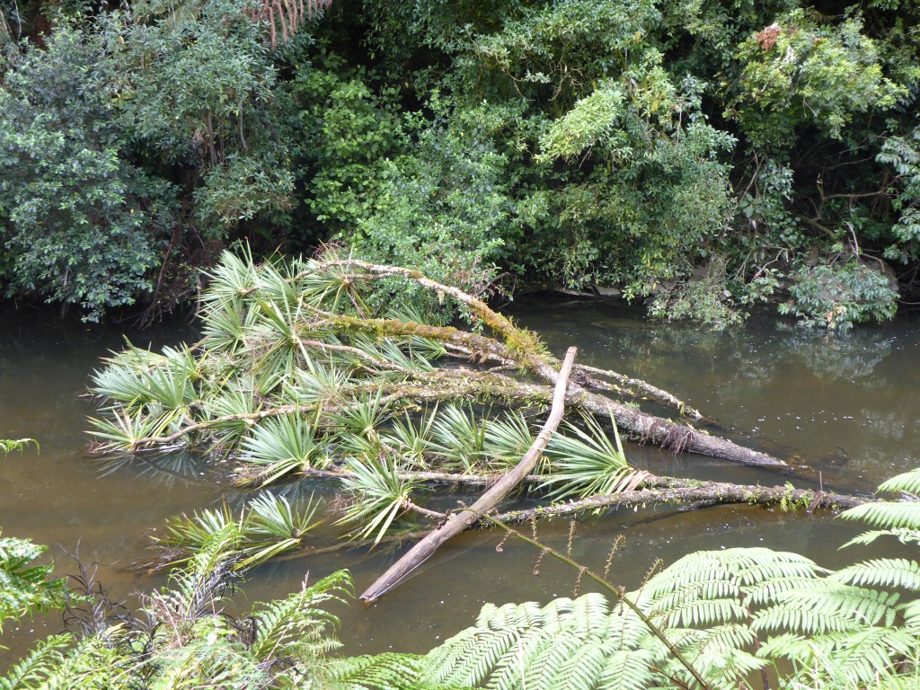
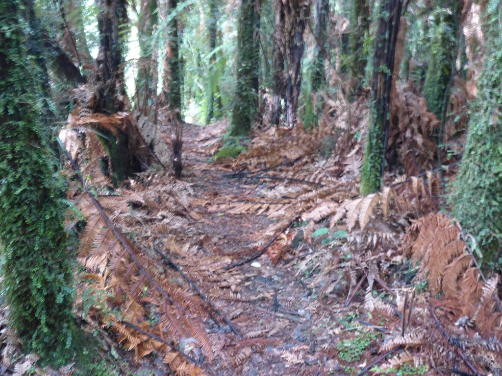
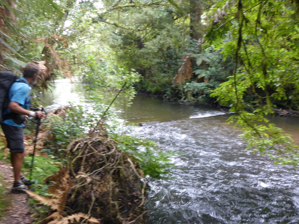
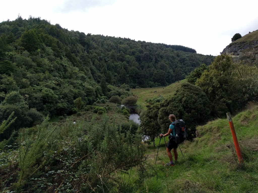
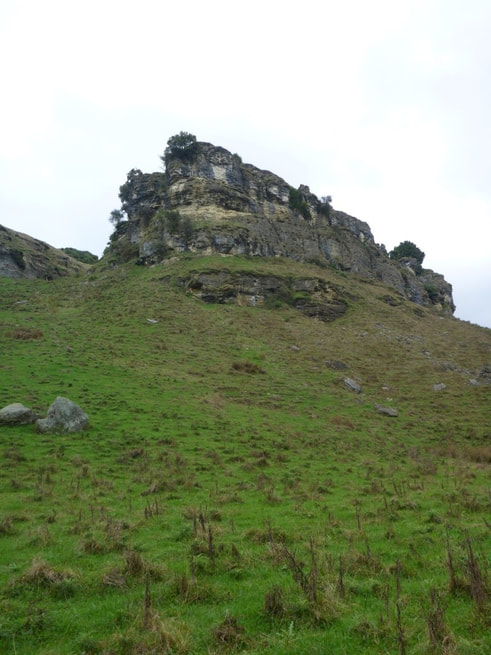
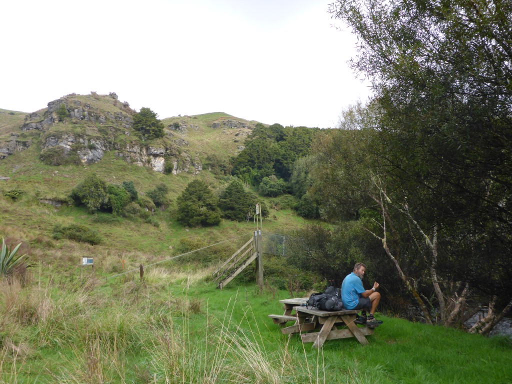
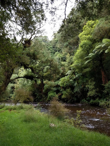
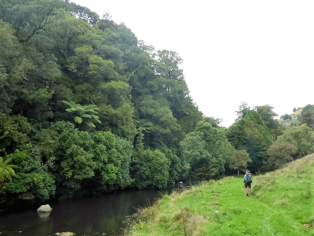
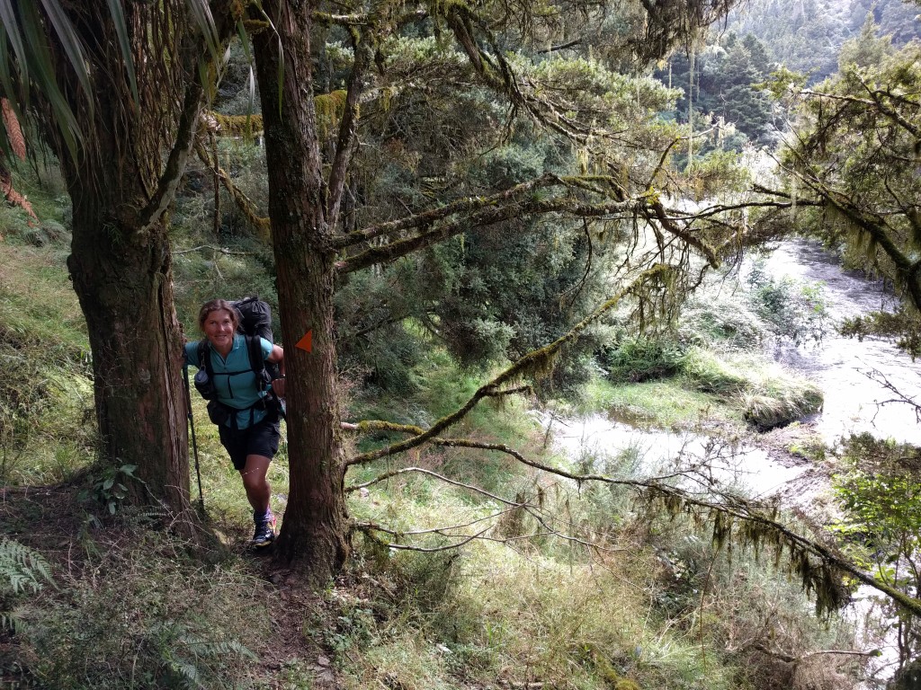
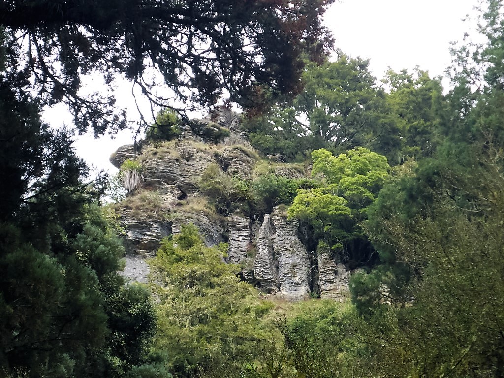
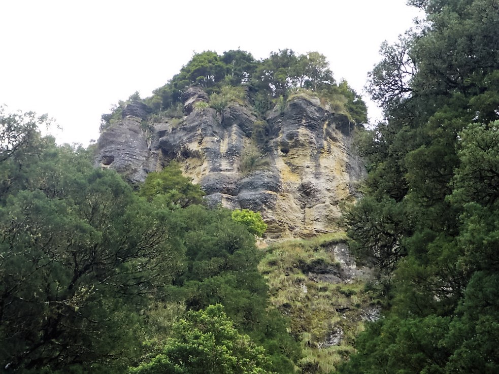
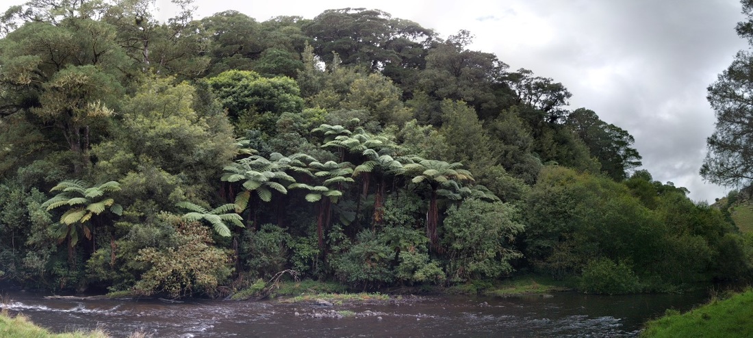
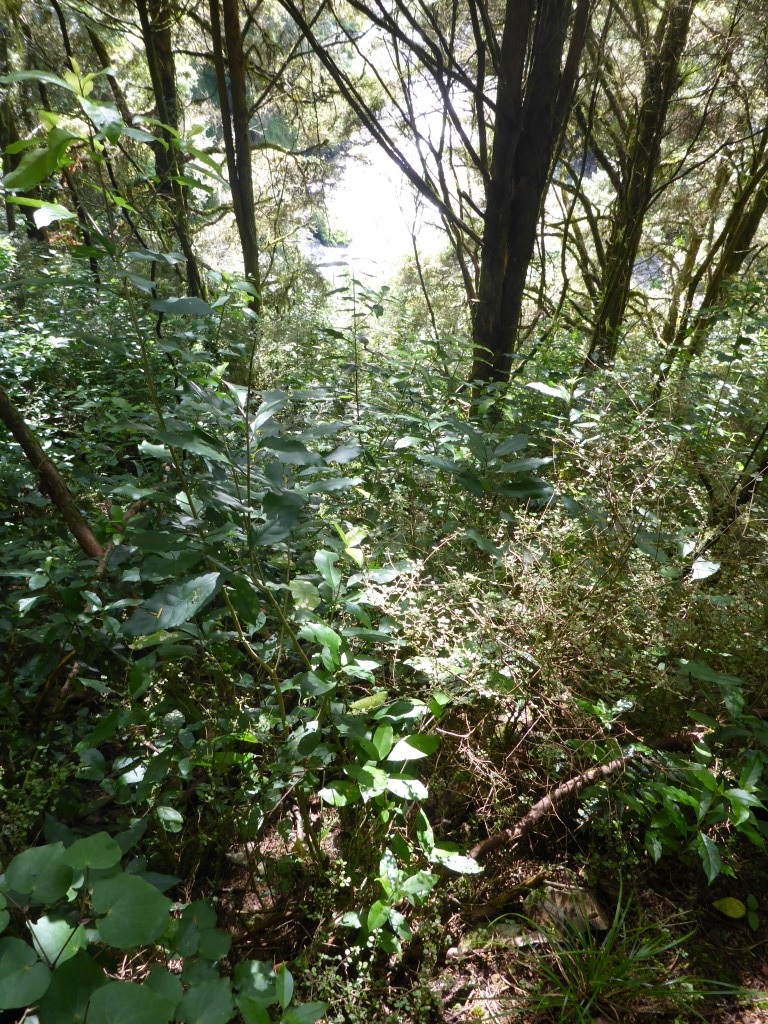
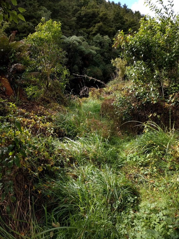
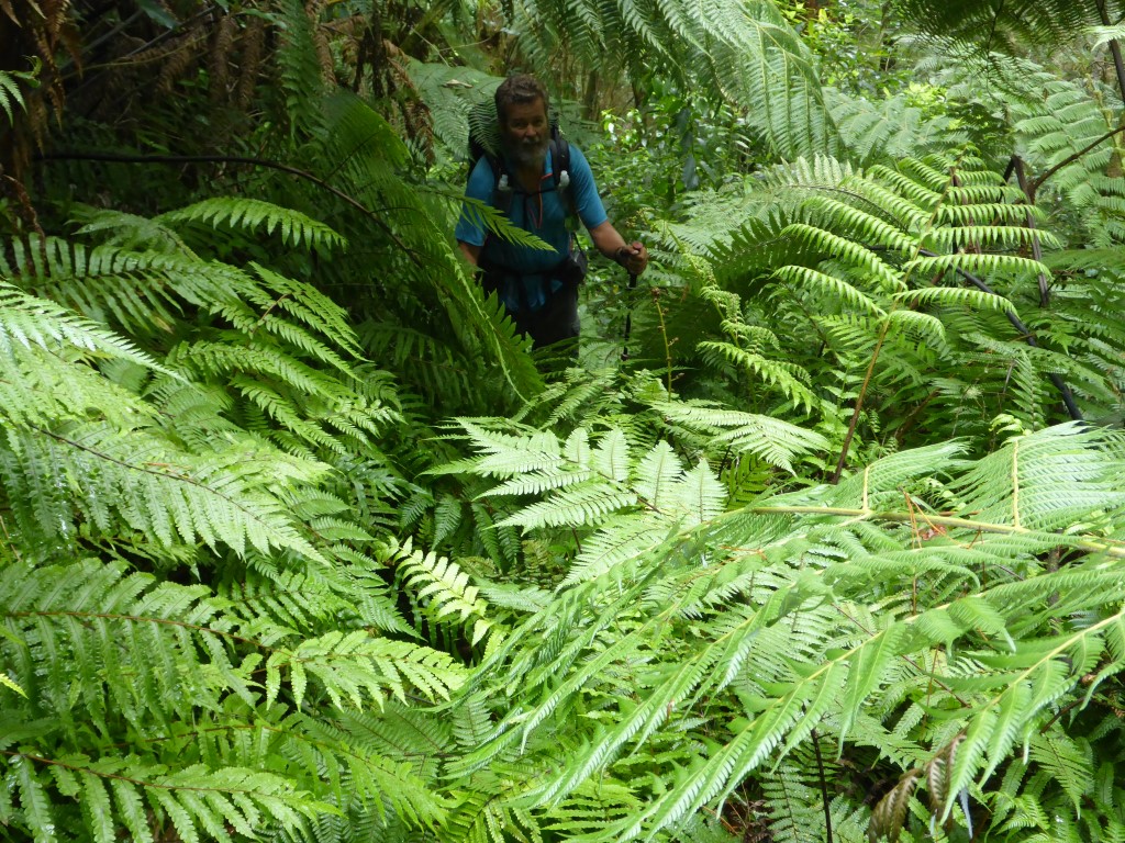
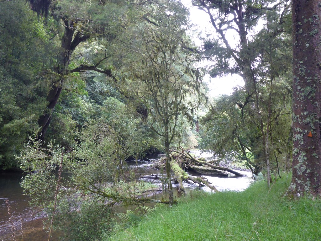
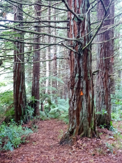
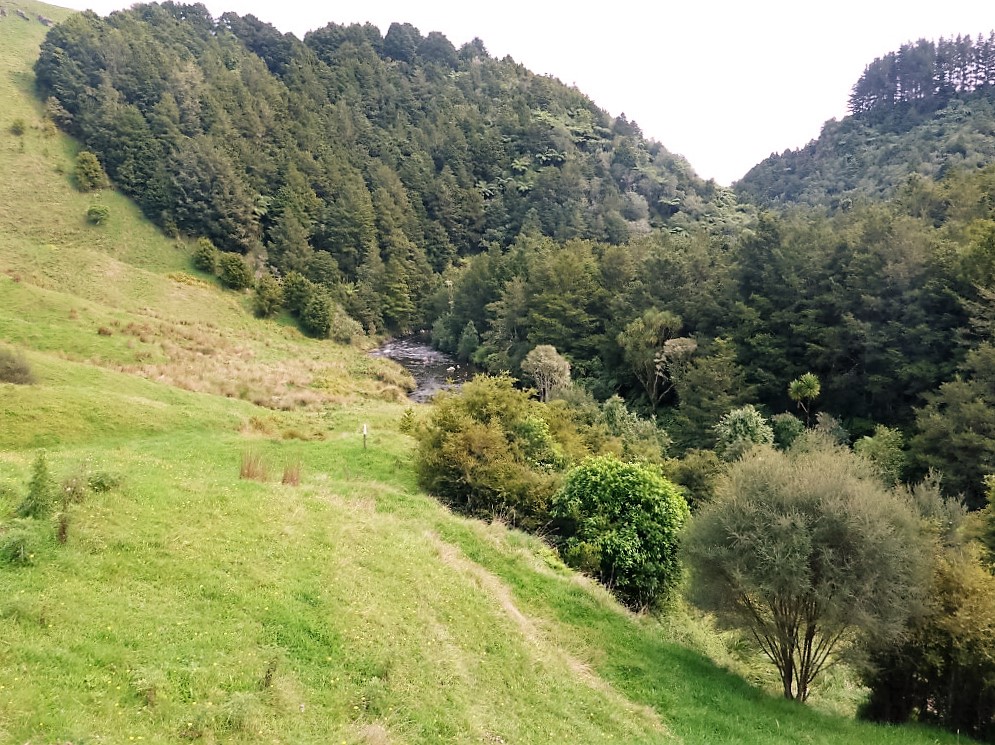
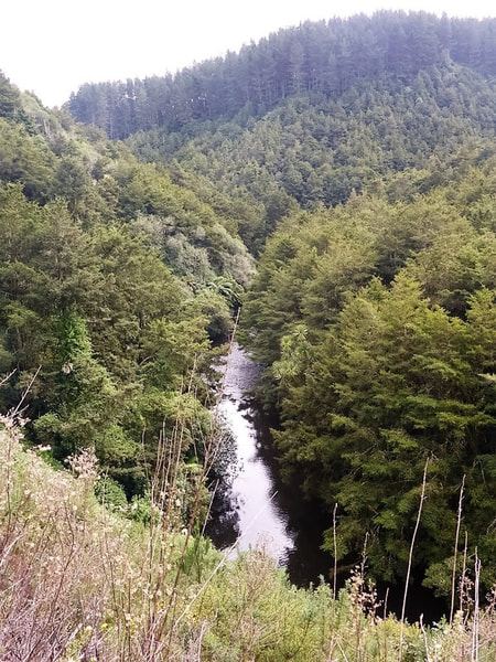
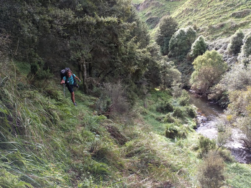
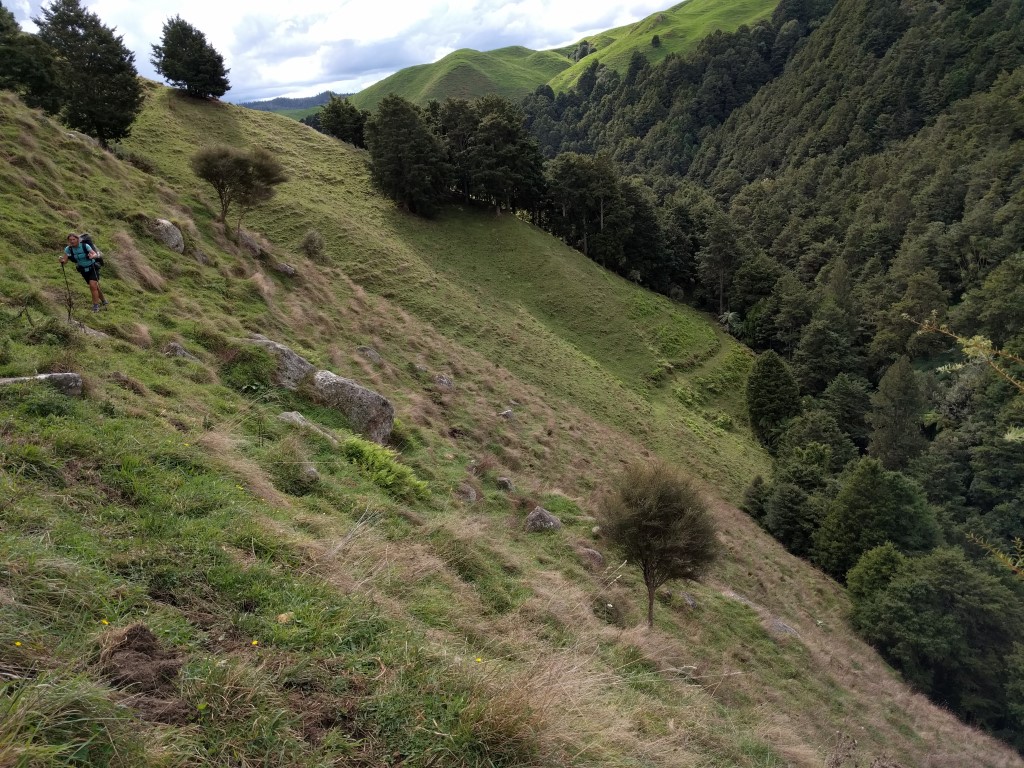
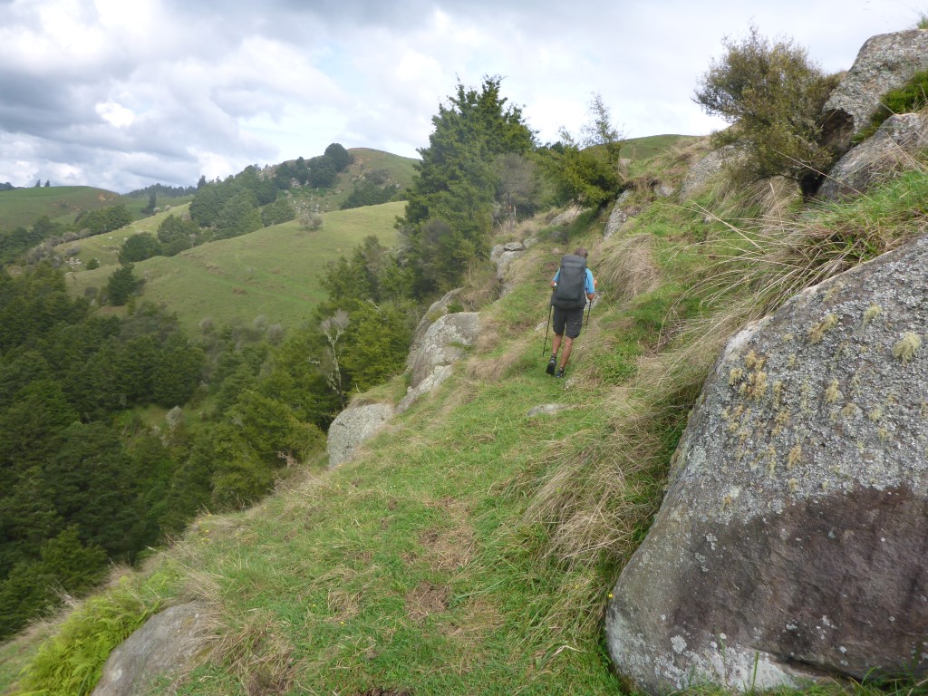
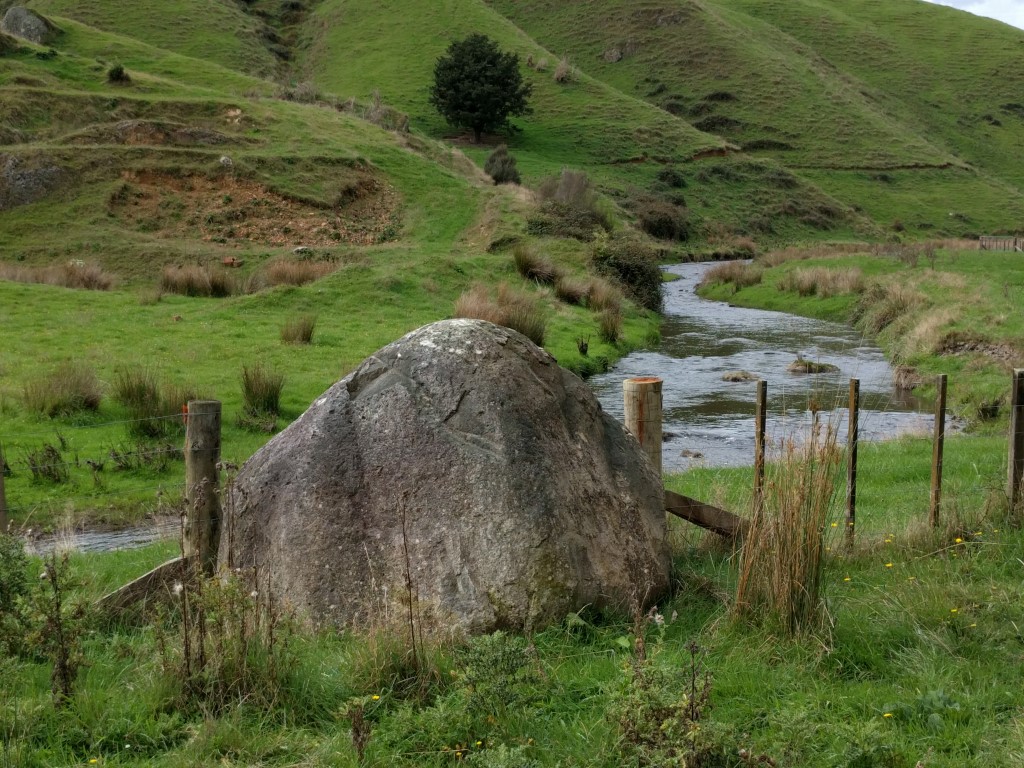
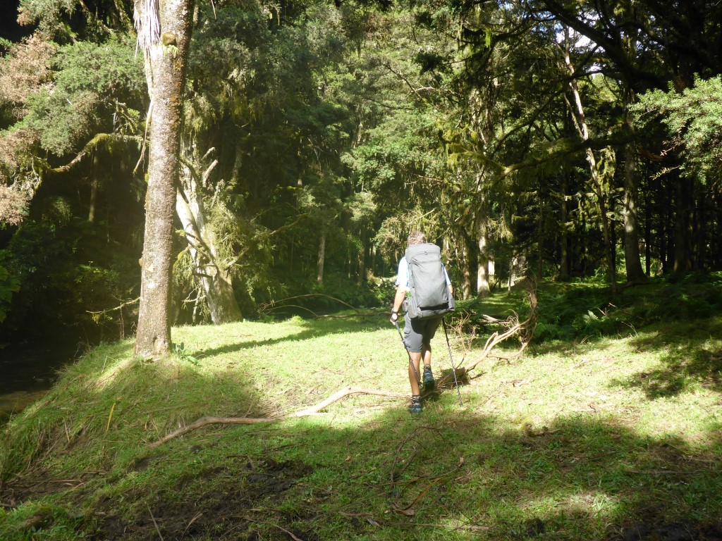
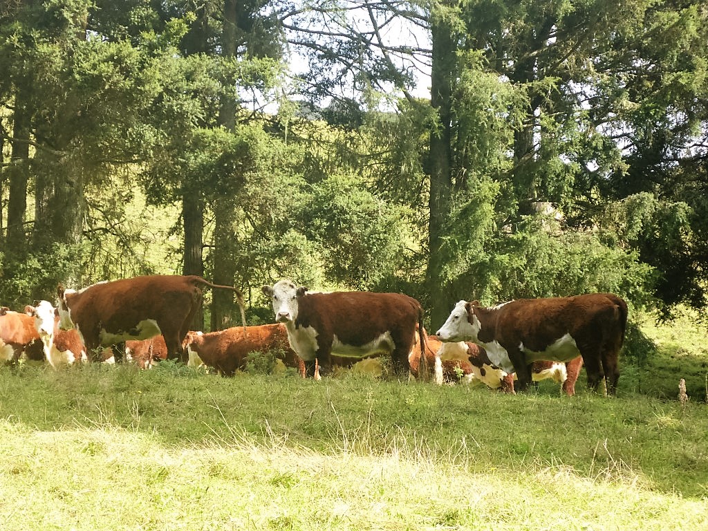
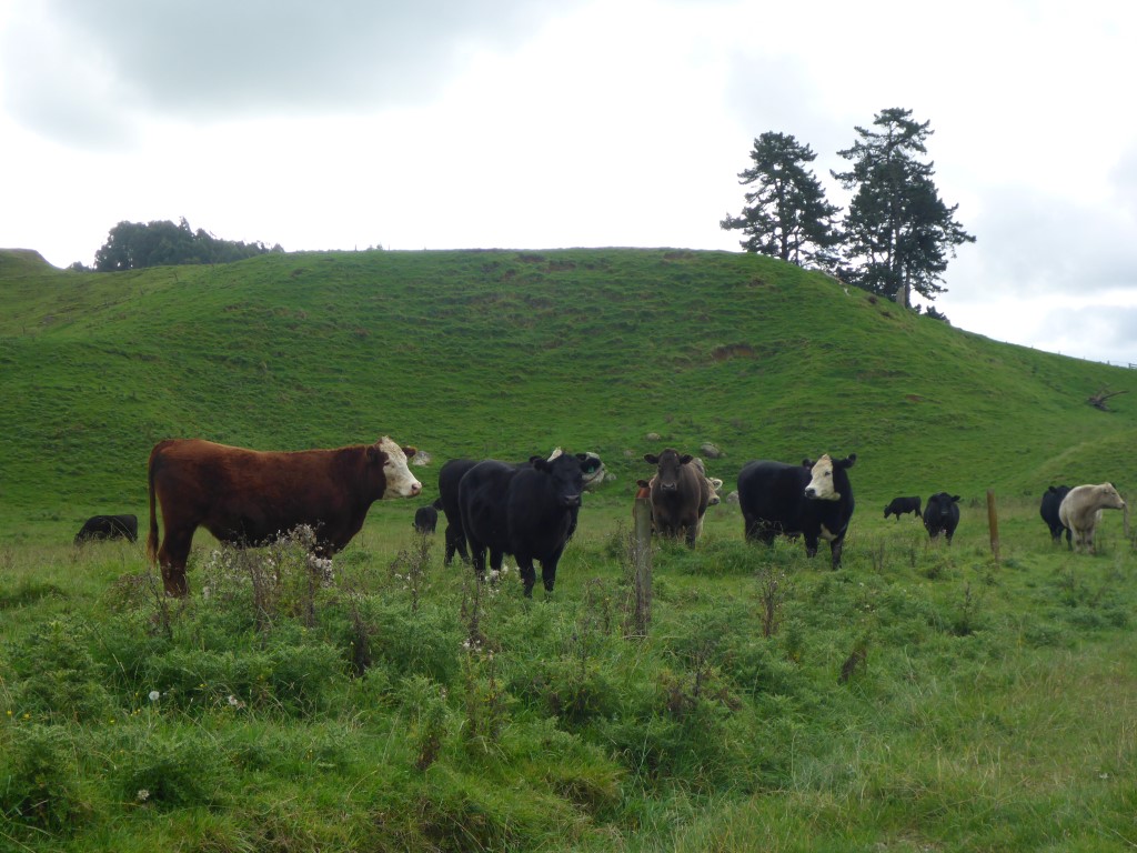
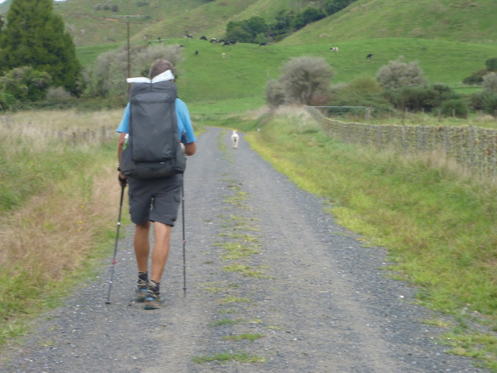
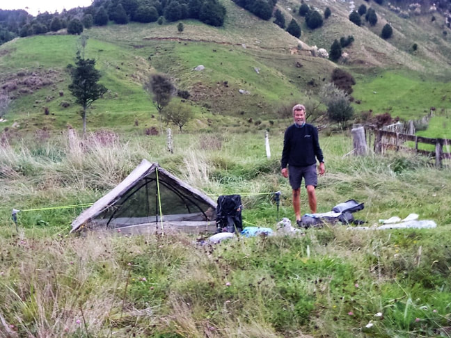
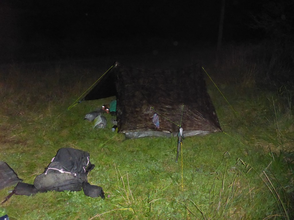
Today we ended up doing almost 25km. Since it was mostly following (broadly) the river I had assumed not too much up and down. Surprisingly the GPS data shows we still ascended over 600m and descended about 500m during the day! GPS data for the day is here. We got underway about 0740 from the motel and headed over the pedestrian rail overbridge onto the main street - heading south out past the famous statue of the shearer (this is Sir David Fagan territory after all!). The first part of our long walk up the (mainly) western side of the Mangaokewa River took us behind the industrial area of Te Kuiti - a bit incongruous to be in light bush between the water and industry! Surprisingly perhaps, there was quite a bit of bird life! It is worth mentioning that, to get there, we also had to pass the Waitete Rugby Club, "home" of two of Te Kuiti's most famous sons - Colin and Stan Meads! Fairly soon we crossed over the river and up through an old quarry before dropping back down to the river. After a couple of kms in total (the last km through nice bush) we crossed over on a swingbridge to the Mangaokewa Reserve carpark, back on the western side of the river. From there we were to follow the river upstream for about 20km! The first 2.5km is a well graded track through lovely bush, including some big kahikatea. Beyond that the track came mainly out into farmland. This makes it sound easy - but it was far from that as far as we were concerned. Most of the river edge walking is ungrazed farmland with quite a lot of little blackberry and heaps of Californian thistles - and because of the dew our feet were pretty much the same as walking through a river! There was also a mix of boggy and stony bits to add to the mix, as well as little bits of bush! A mixture of a day actually describes it well, in a polite kind of way!! Interspersed with that were some steep little climbs where you couldn't walk by the river, as well as some dodgy little sidles around rocky faces that could also be wet/muddy and/or covered in long grass. We both found it quite hard going in places, even though there was really not a lot of ups and downs. The best part of all this walking was the stunning (almost?) virgin bush on the other side of the river for a fair bit of the way. A lot of it had apparently never been logged, and it certainly was impressive (when you found time to look at it!!). Probably the photos won't do it justice! Eventually we started to leave the river and came onto a farm track which became a race and then resolved into a road (Mangaokewa North Rd). This joined Mangaokewa Rd after 3.5km, but we stopped 0.5 km short of the intersection at about 1630 as we were pretty knackered and weren't sure how suitable the "bigger" road would be for camping. Our only issue with stopping after 24 km was that this would leave us a longer day of around 34km to Pureora tomorrow but, as it was all on road, we decided it would work OK. We pitched in a small area by a farm gate - it was close to the road but there were only two houses we had passed so we didn't expect much traffic! As it turned out, two cars passed us in the dark between about 1900 and 2030 and that was it. The bliss of real, remote, rural NZ!!
0 Comments
Leave a Reply. |
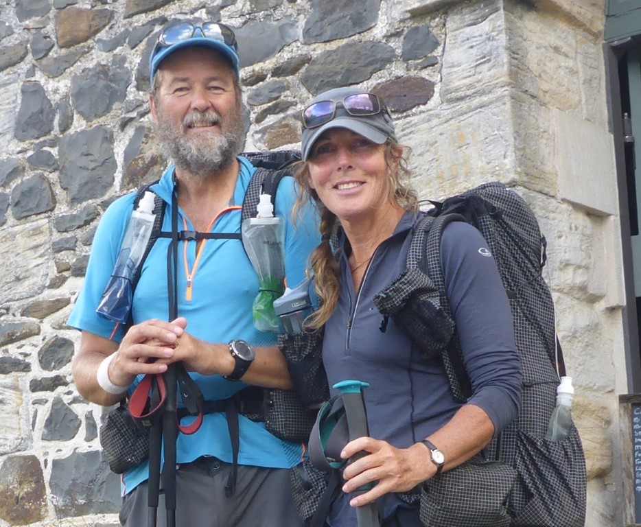
AuthorBelinda and Anthony (aka Tony) Hadfield made a decision, in their late 50's, to do something a "bit different" and walk New Zealand's 3000km Te Araroa Trail over summer 2015/16 - although updates will now tell you that this plan will take longer now!!. As the old saying goes - "don't leave home 'til you've seen the country"!! Archives
January 2018
Categories |
 RSS Feed