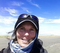
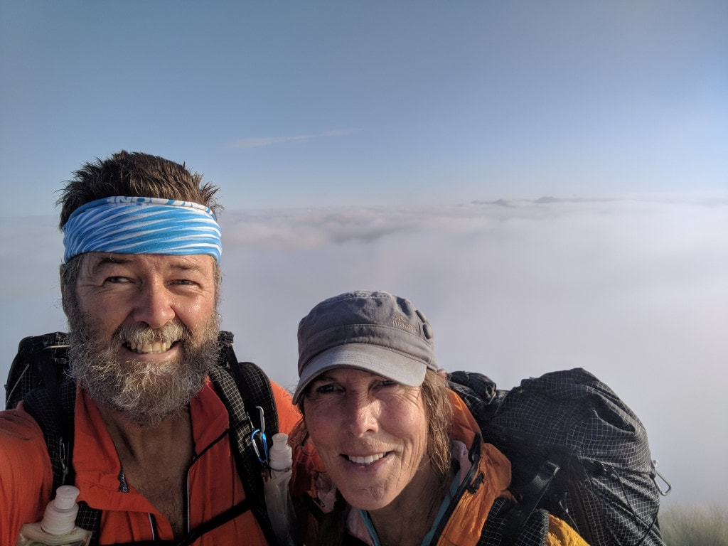
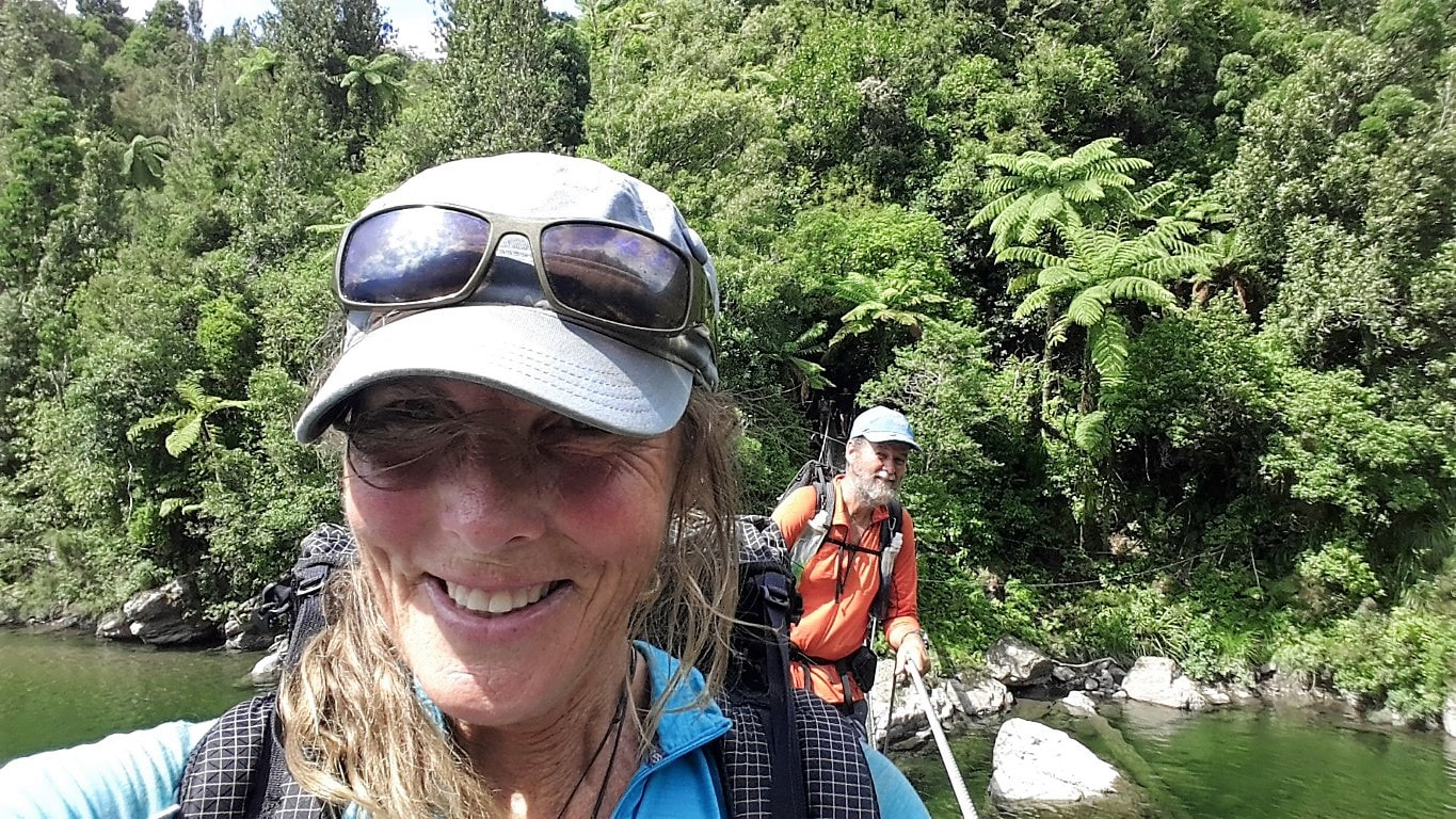
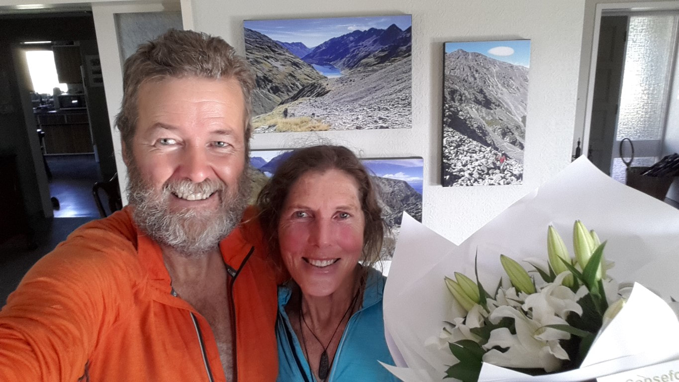
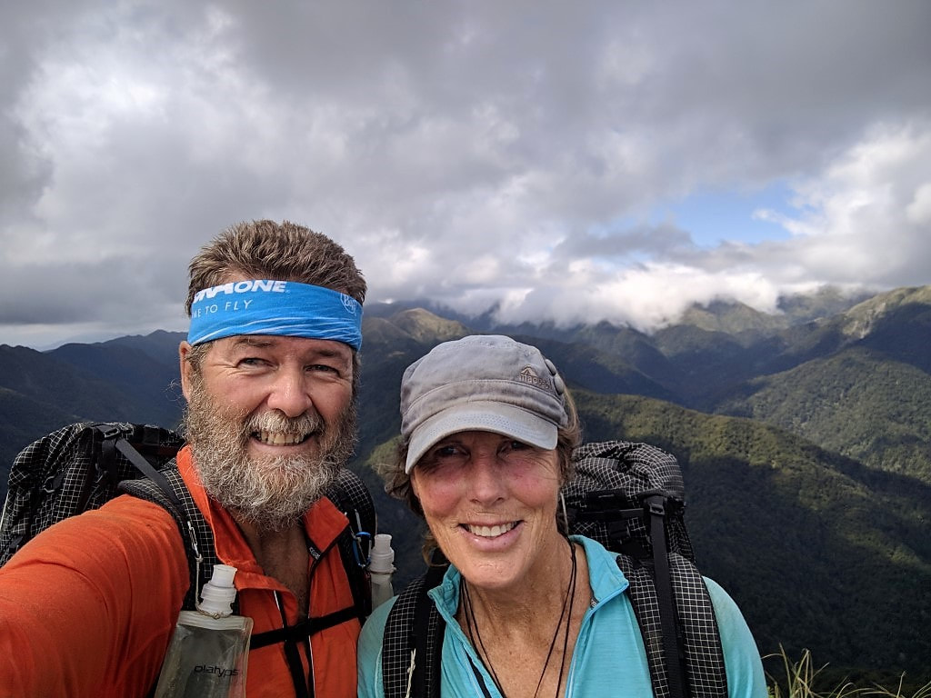
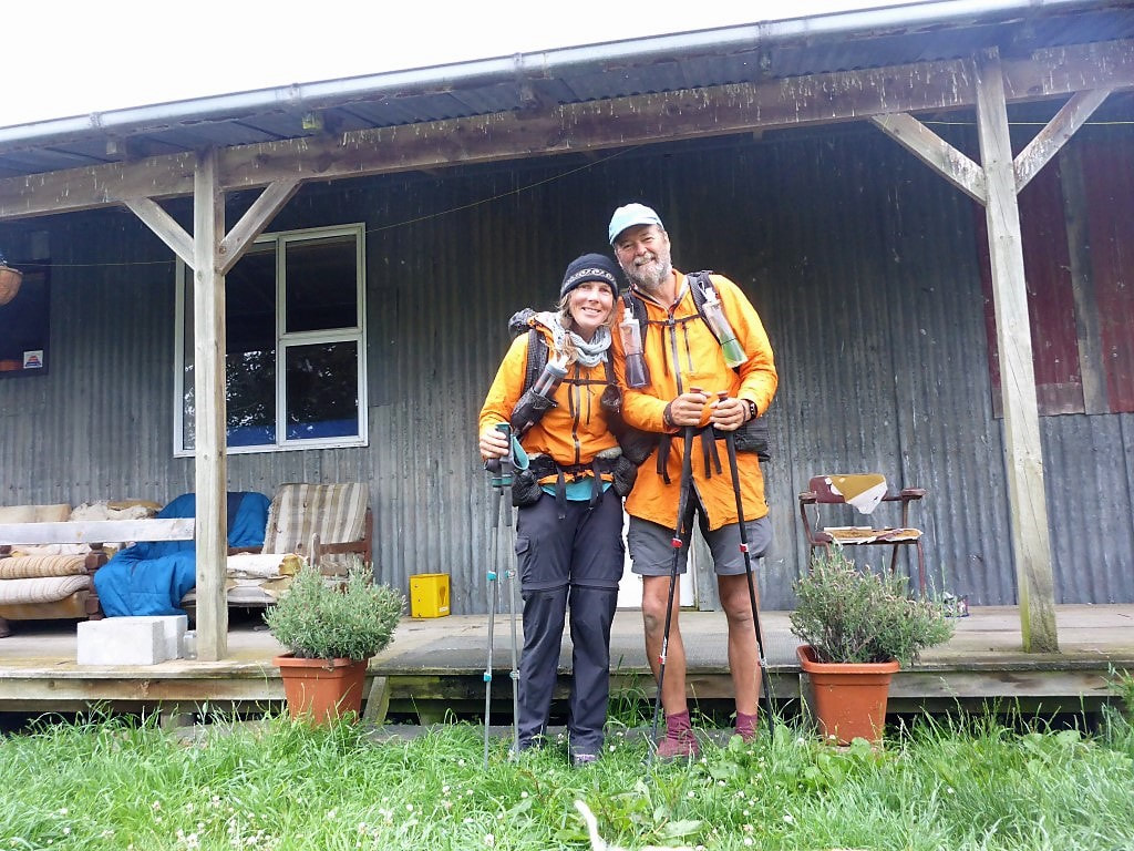
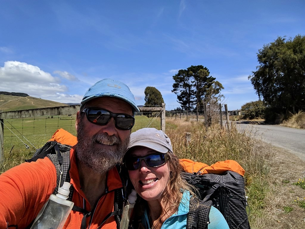
 Belinda here : ) 138 days of walking 1 day of tandem cycling a fair few rest days and transit days 3 hiking seasons and 4,797,274(my) steps (give or take a few thousand) later....... We have completed Te Araroa! 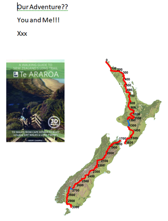 I am pleasantly surprised at how good it feels to finally finish something that I had first thought about quite a few years ago. It was actually catching a television news item of our then Governor General, Sir Jerry Mateparae, officially opening the final section of Te Araroa. The date was 3 December 2011 and I thought at the time, 'gosh, that would be a cool thing to do'. My interest in TA quietly developed and on 3 January 2015, I printed this invitation for Anthony (Tony) - he knew little about my TA thoughts. With a fair amount of apprehension I handed it to him and to my absolute surprise (and shock), he said “OK”. I knew Anthony didn’t like walking very much (this was 3000km much!) so for the next two weeks I kept asking “are you sure?”. It eventually sunk in that it was a yes, and our journey began……. 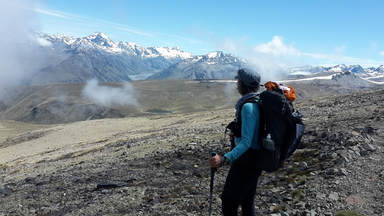 The research got under way and those of you who know Anthony will appreciate that his research was more than thorough : ) This was an essential part of our preparation and I was so grateful - reading the nitty gritty and technical aspects of gear is not my thing. Over the year, gear was ordered and we were reading through other TAers blogs, along with all the information from Te Araroa website. I really do need to mention New Zealander, Kirstine Collins www.restlesskiwiadventures.com whose blog was so informative, helpful, funny and technical (great for Ant); and that because of Kirstine sharing her journey, and giving us so much information, we felt we could manage hiking Te Araroa too! I mean that with all sincerity, so a huge “thank you” Kirstine. Even after being on the trail for some time, we would refer to her blog regularly………..we did however have to be careful about Kirstine’s times as we certainly didn’t have the same energy uphill as she had! Also nice to mention a big thank you to Te Araroa Trust, Department of Conservation, Iwi, private land owners, TA volunteers, Rob (ex TAT CEO) and Judith who tirelessly offers helpful information - as do many others - through the website and facebook pages. A big thanks. :) 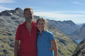 Soooo….things to say….well, I could go on forever but ‘not wanting to do that’, I can think of a few things that I would like to share. One of the highlights for me was how everyday was so different and, almost inevitably, it was nothing at all how you had imagined it would be. You just never knew what was around the corner or at the top of the hill!! I am so appreciative and grateful that Anthony chose to write a comprehensive blog that covered our hike and from these daily blogs, we will forever be able to recall and see how each day went. I know there are heaps and heaps of photos (I’m the guilty one there) but…...why not. We both felt the blog was our way of recording our adventure and if it was interesting and useful for other people, then that was all good too. From the beginning, to help us with the mindset of what we wanted to do, we had a couple of guidelines. Number One: We wanted to walk ‘every step of the way’ - the good, the bad, the whatever. We only deviated from that once and that was a tandem bike ride from Lake Tekapo to Twizel and it was a very wise decision (apart from Anthony’s sprained ankle which was the catalyst for us choosing this option, I feel having done it, it’s the way to go. It is also a suggested option in the TA notes.) Number Two: No grizzles…….it worked. : ) 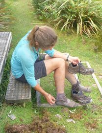 I think you develop your own managing strategies for getting through each day. We had certain routines, one being, before we started walking each day, we would go through the warmup exercises that I use before my Qigong practice. Another example, Anthony and I would stop, take our packs off, sit down and rest at least every 1.5 - 2.0 hours. I was a stickler for this, especially in the beginning as Anthony quite liked just hiking on. On a more personal level, one of mine was reciting some very beautiful words I had come across....here is the story about the words. When we started from Cape Reinga, we were staying with my sister Ria who lives in Northland - she kindly drove us to Cape Reinga. The night before we left her home, I noticed a blessing on her wall and it insisted it should come with us on our adventure. The blessing is by John O’Donahue who was an Irish poet, author, priest and Hegelian philosopher. I learned this blessing by heart and every single day of walking, I recited it - very often more than once a day. At times when I found myself having to ‘dig deep’, for whatever reason, my blessing would be there - I truly found it helpful. Beannacht means blessing and here it is….. Beannacht On the day when The weight deadens On your shoulders And you stumble, May the clay dance To balance you. And when your eyes Freeze behind The grey window And the ghost of loss Gets into you, May a flock of colours, Indigo, red, green And azure blue, Come to awaken in you A meadow of delight. When the canvas frays In the currach of thought And a stain of ocean Blackens beneath you, May there come across the waters A path of yellow moonlight To bring you safely home. May the nourishment of the earth be yours, May the clarity of light be yours, May the fluency of the ocean be yours, May the protection of the ancestors be yours. And so may a slow Wind work these words Of love around you, An invisible cloak To mind your life Thank you ... John O’Donahue I could not wind up this note without giving heartfelt thanks to our family (all over New Zealand), our friends, my students and people we have met on the trail, who all in their own way supported us on our adventure. Be it by transporting us to airports, ferries, trail heads, looking after the farm or our home - having that support meant our journey was that much more enjoyable. Thank you!!
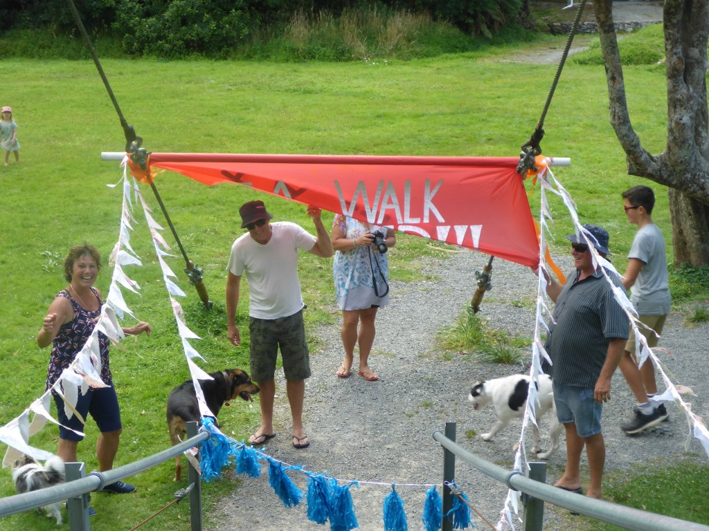
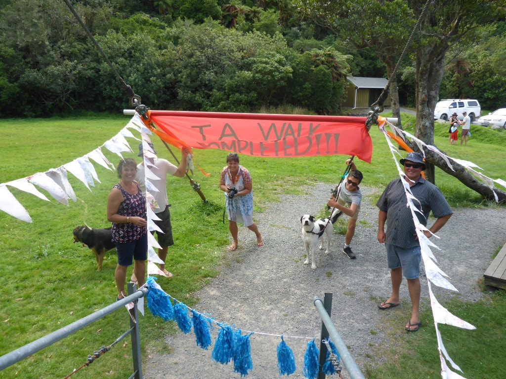
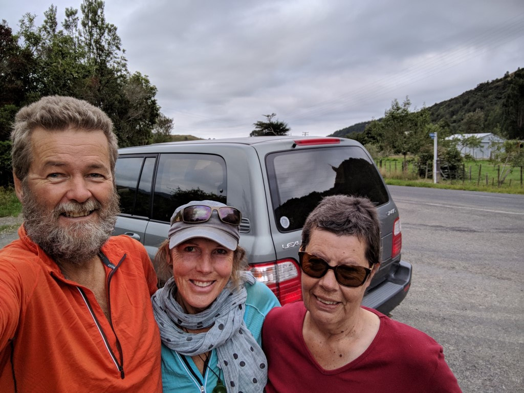
A special thank you to the brilliant reception my sister Ju and the family gave us at Otaki Forks as we covered our final few steps of hiking Te Araroa. It was totally unexpected and just plain beautiful (there were tears!). I did however make my family laugh when while we were sitting around, sipping on bubbly, I turned to Anthony and said, “thanks for coming along” (only 3000+km 'along'). From a very deep well of love, respect and appreciation, I thank you Anthony for saying ‘ok’ and sharing the adventure. xx What next? …...not sure …...still enjoying the feeling of finishing our very own Te Araroa
8 Comments
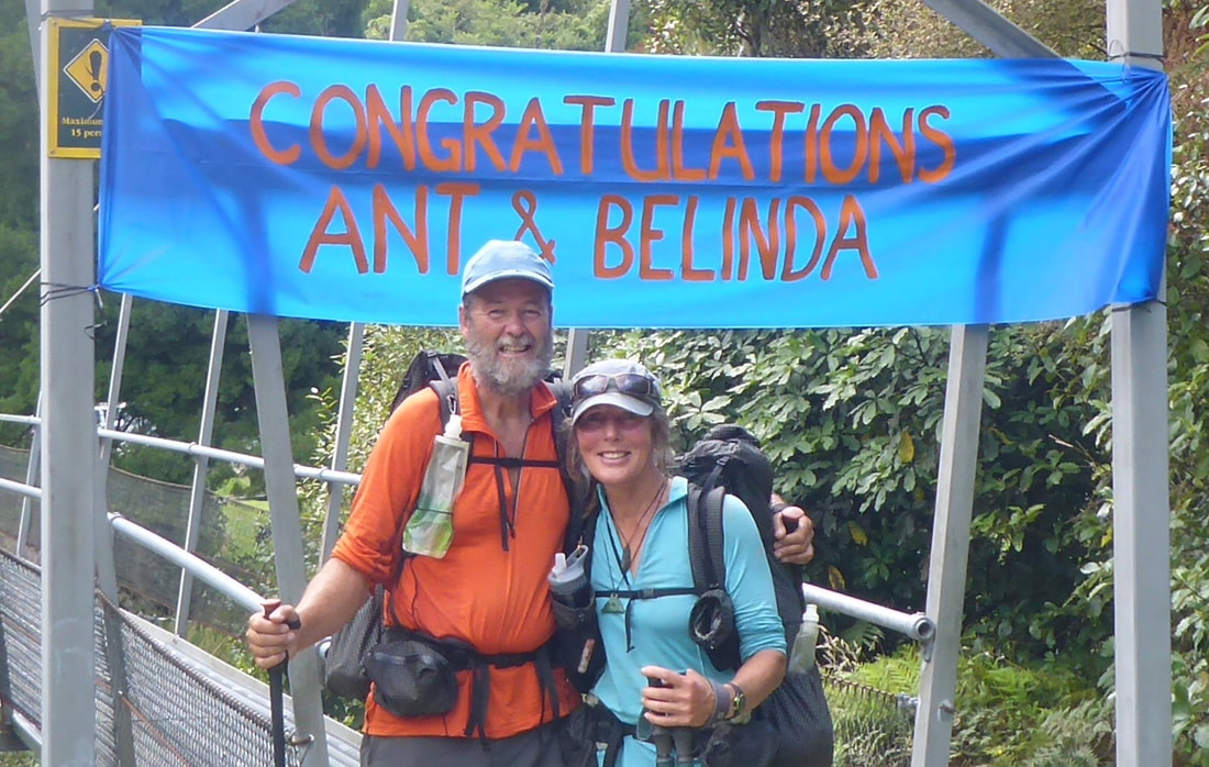
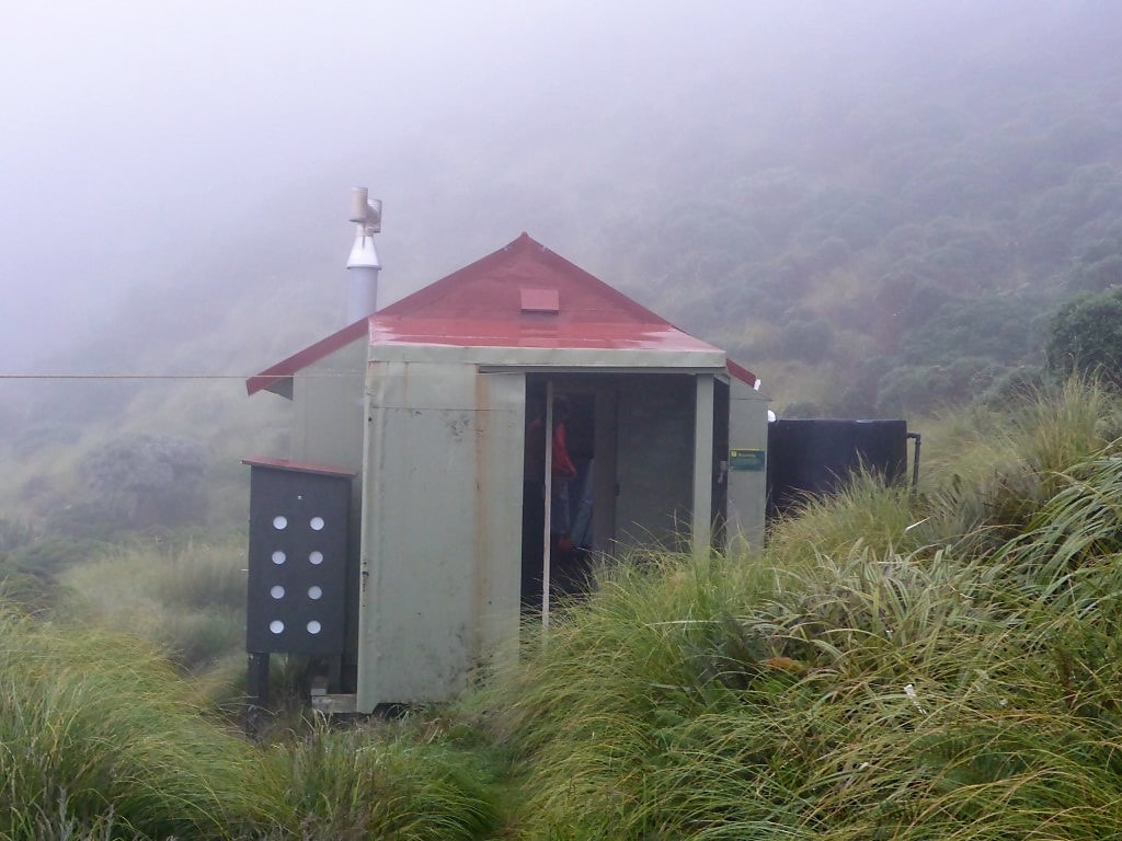
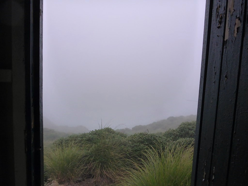
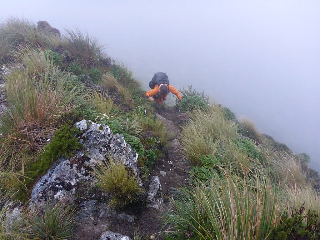
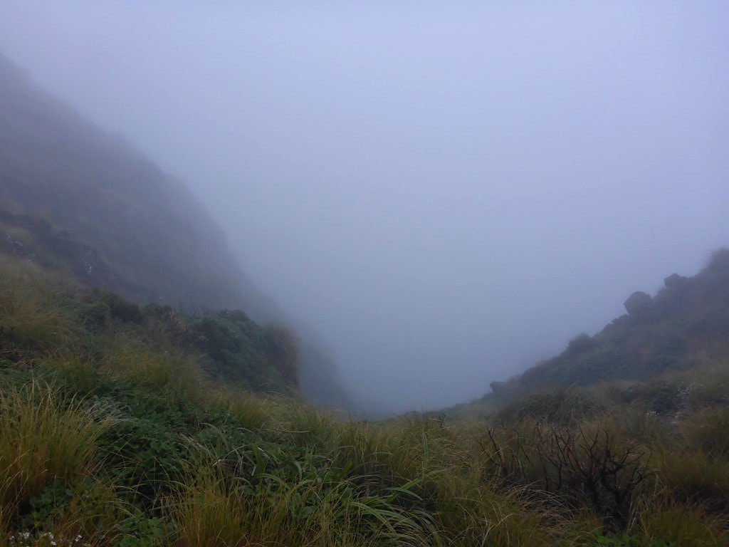
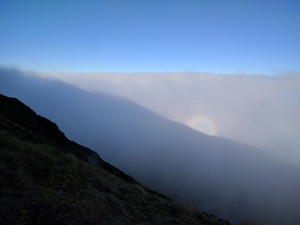
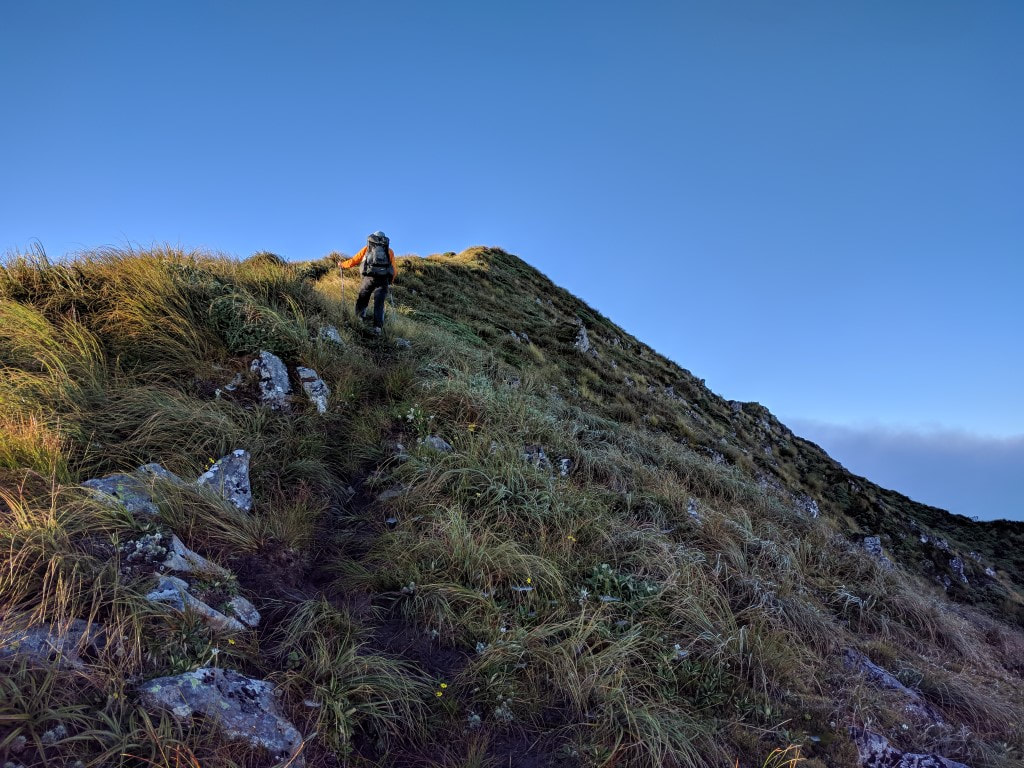
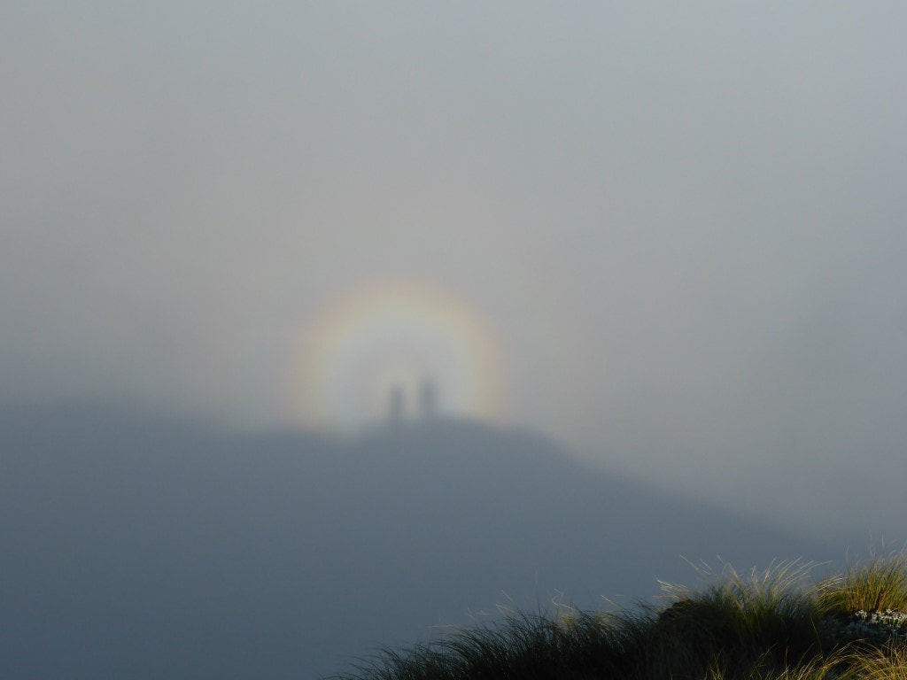
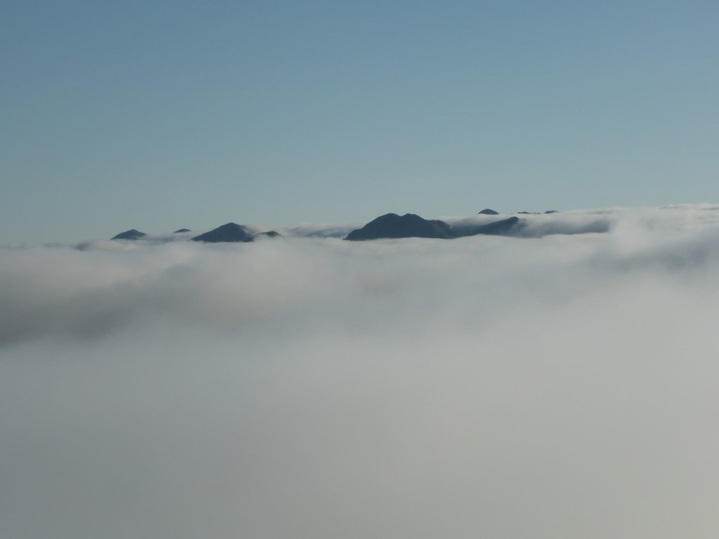
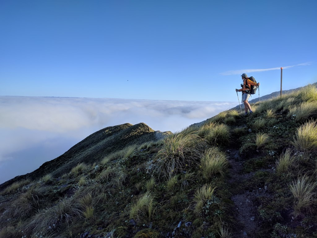
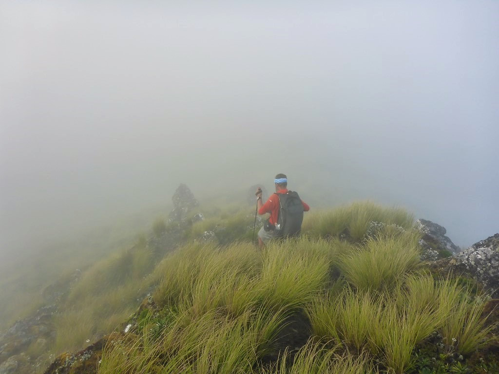
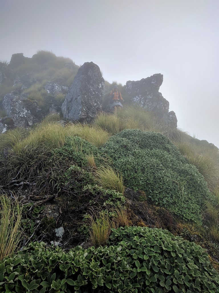
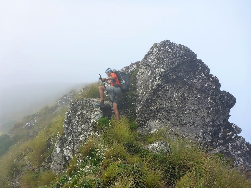
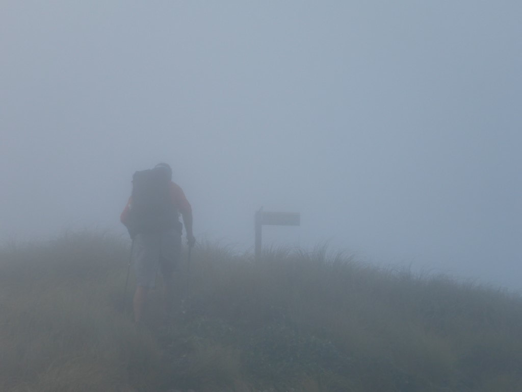
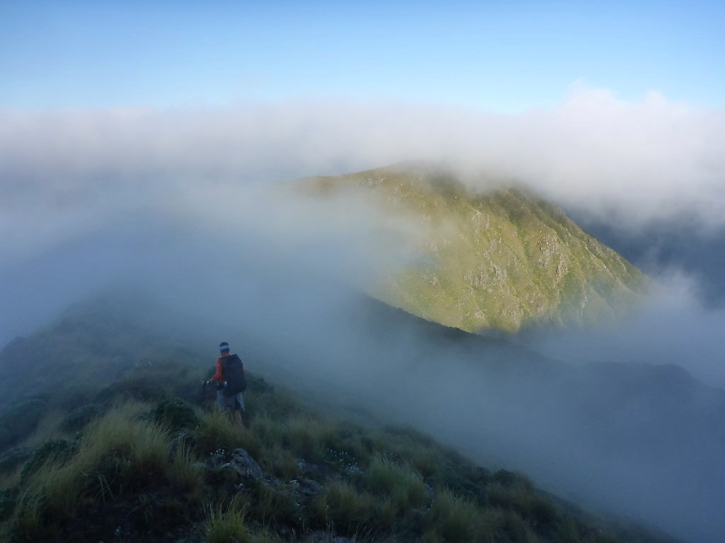
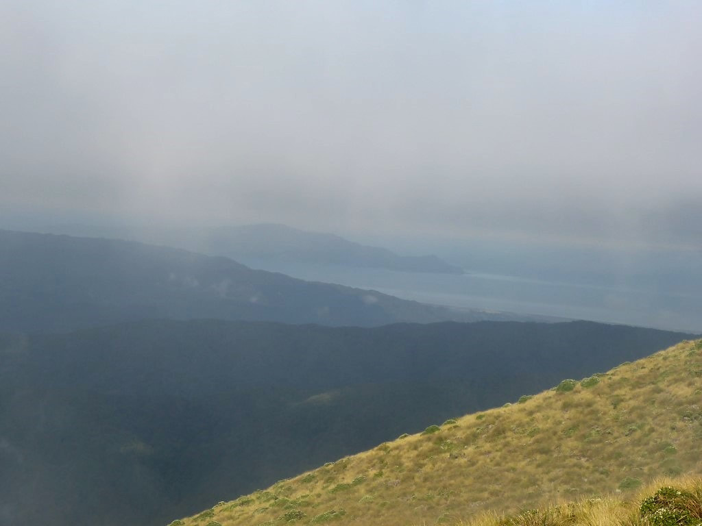
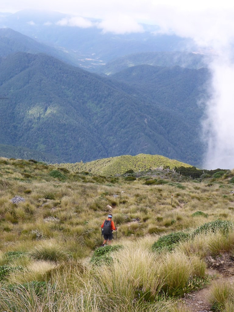
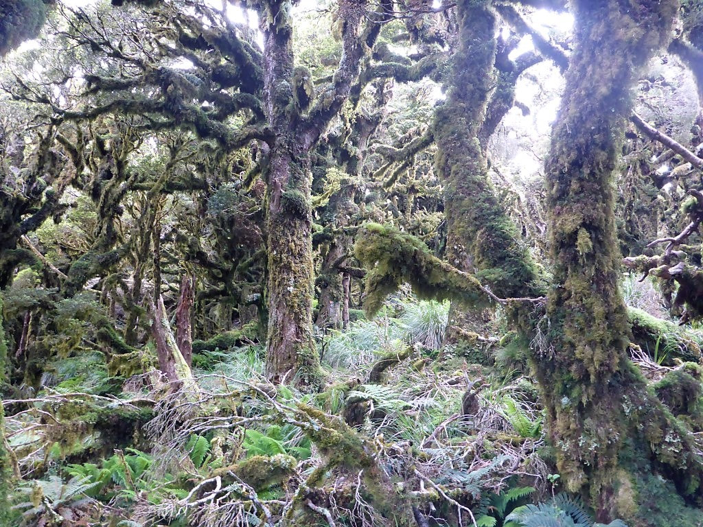
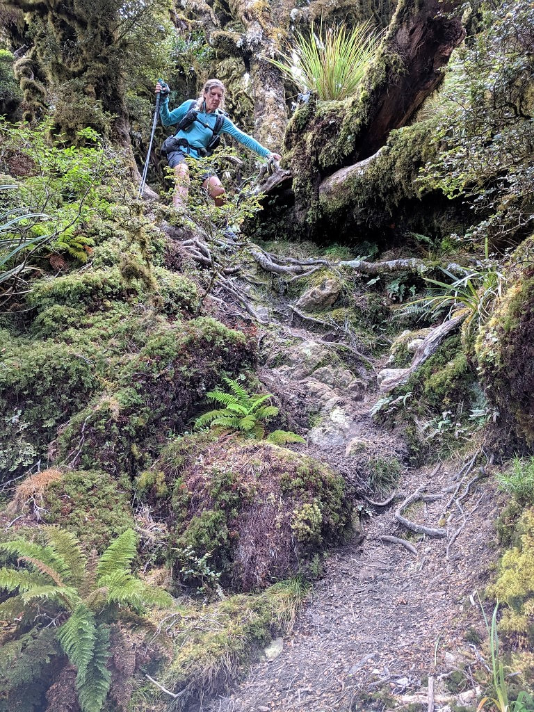
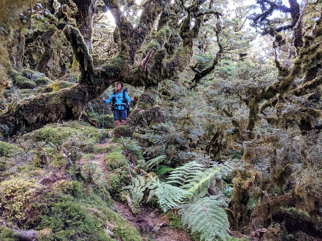
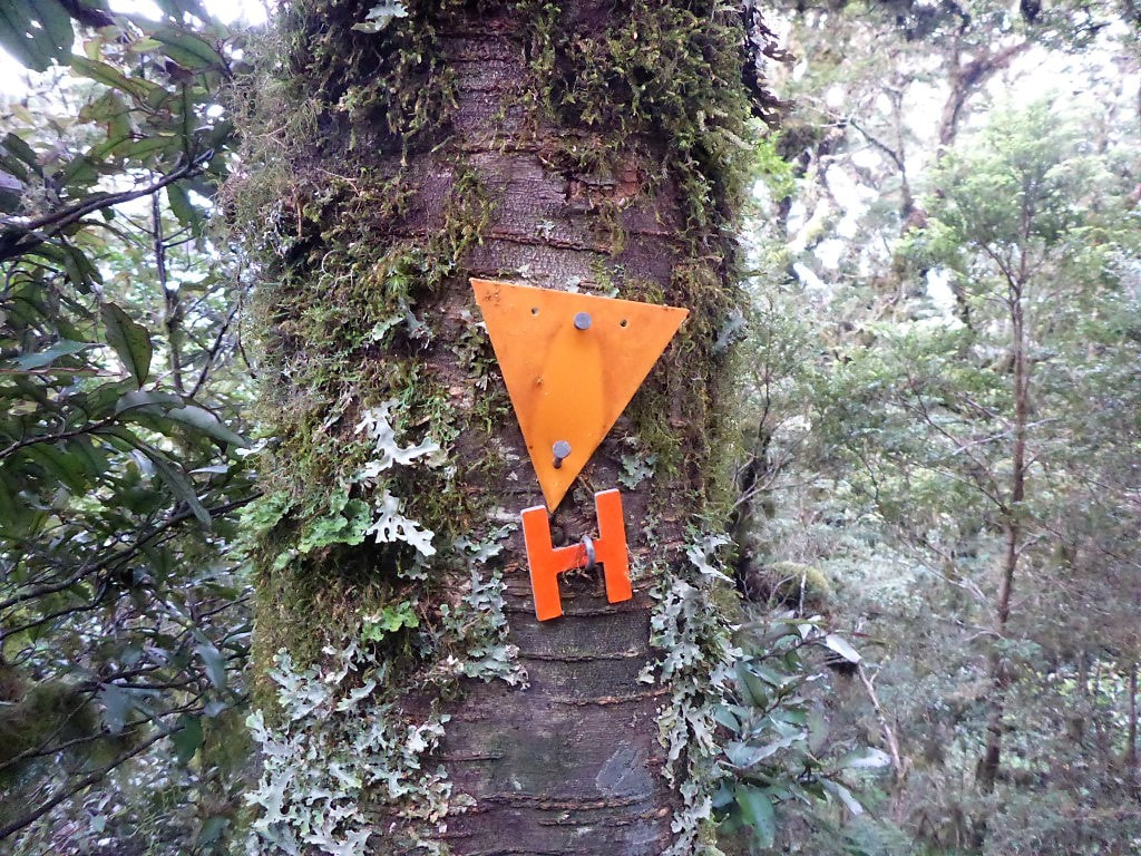
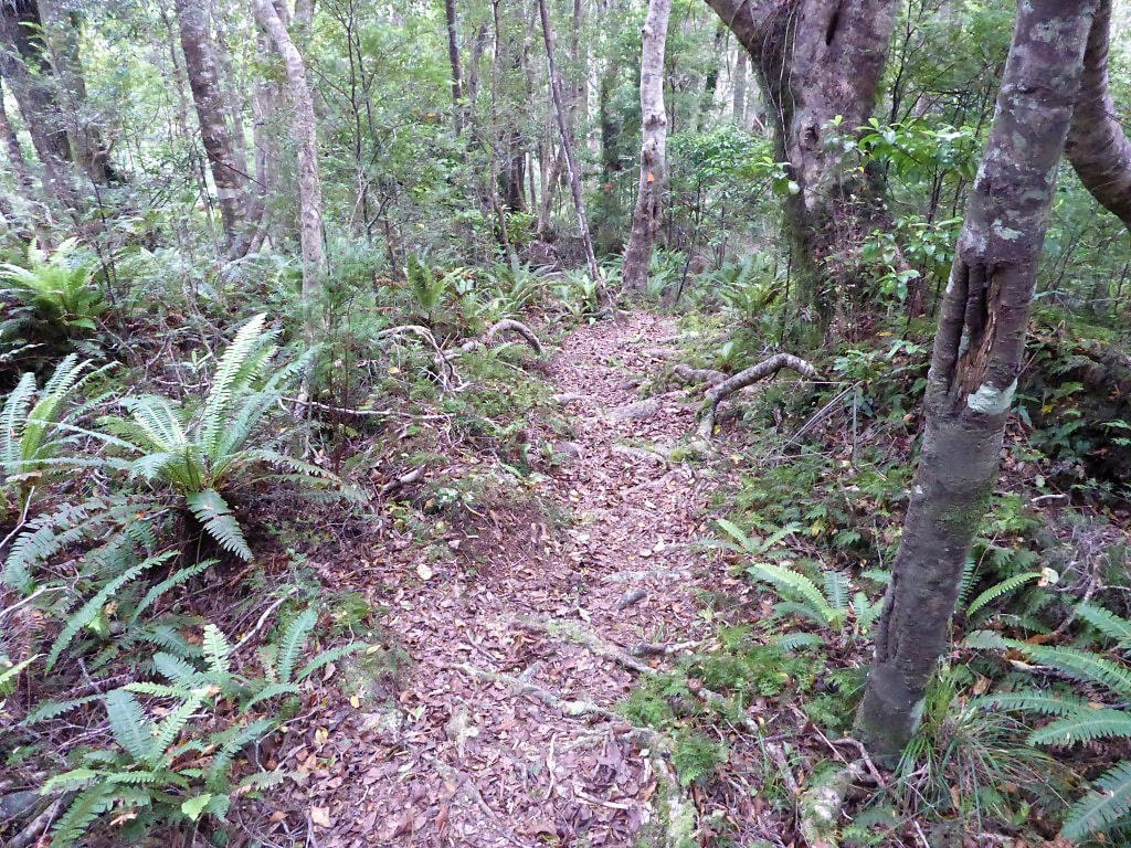
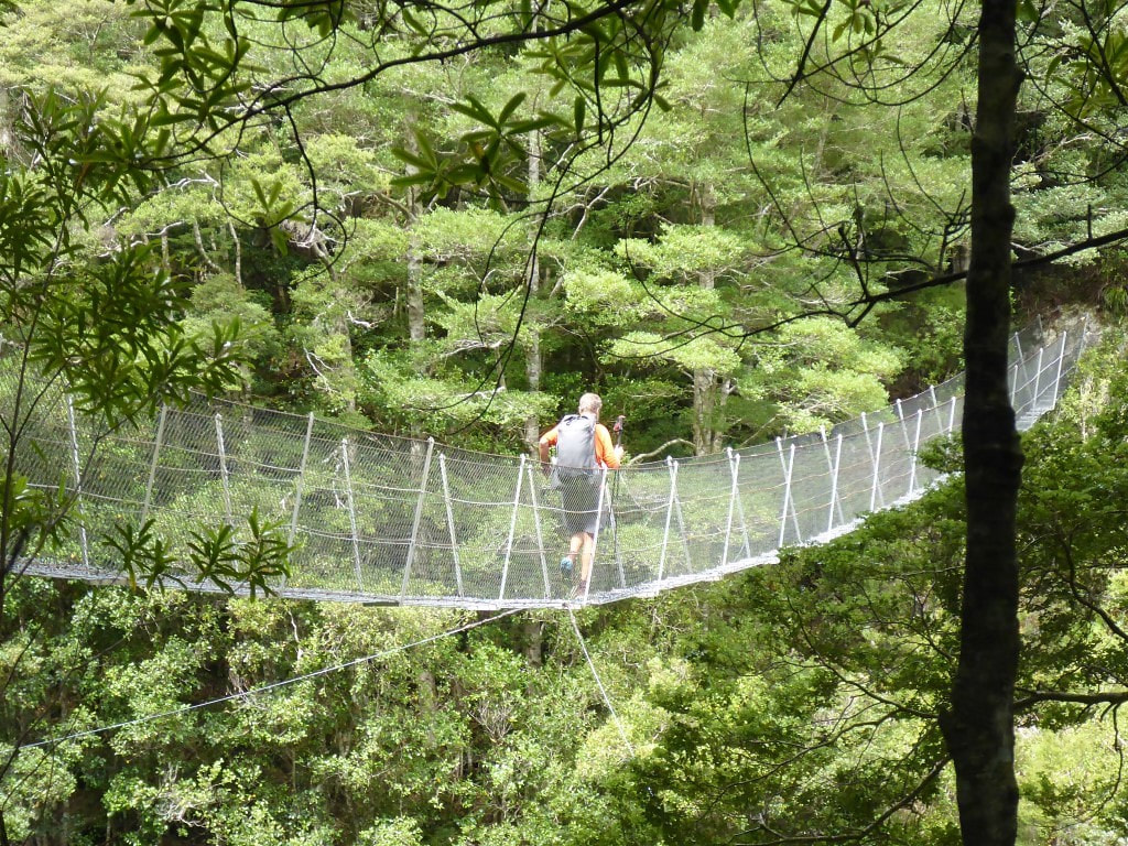
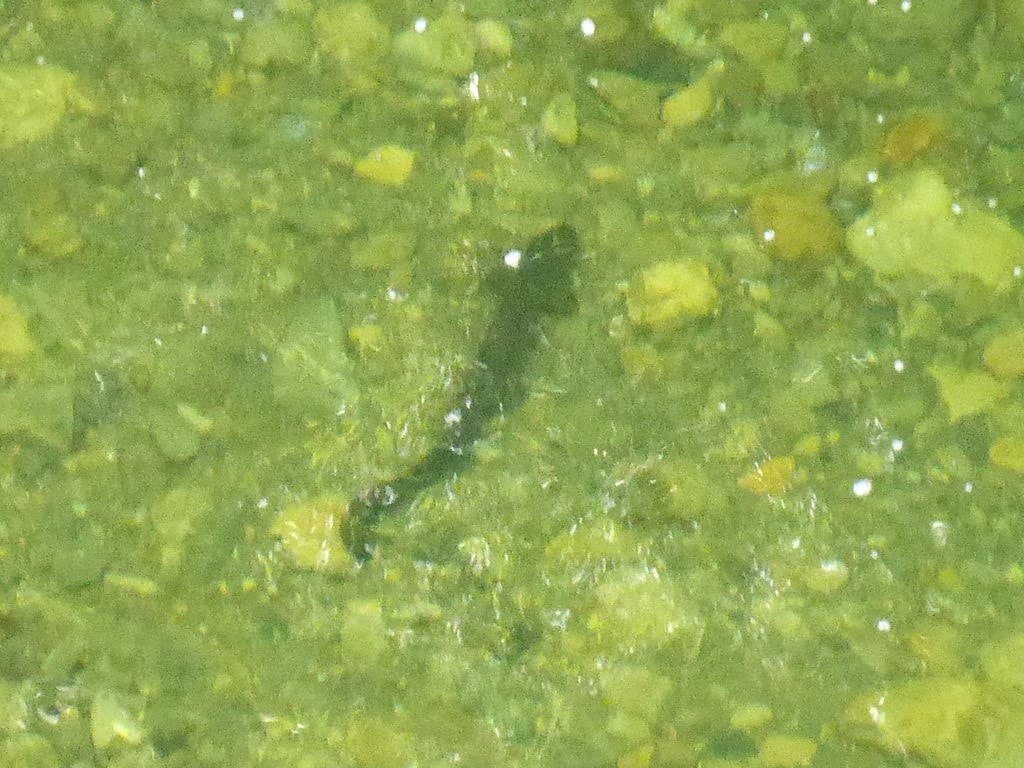
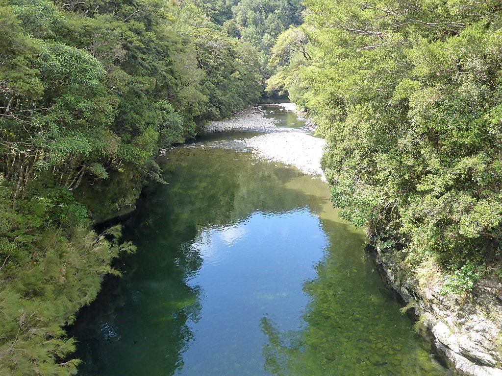
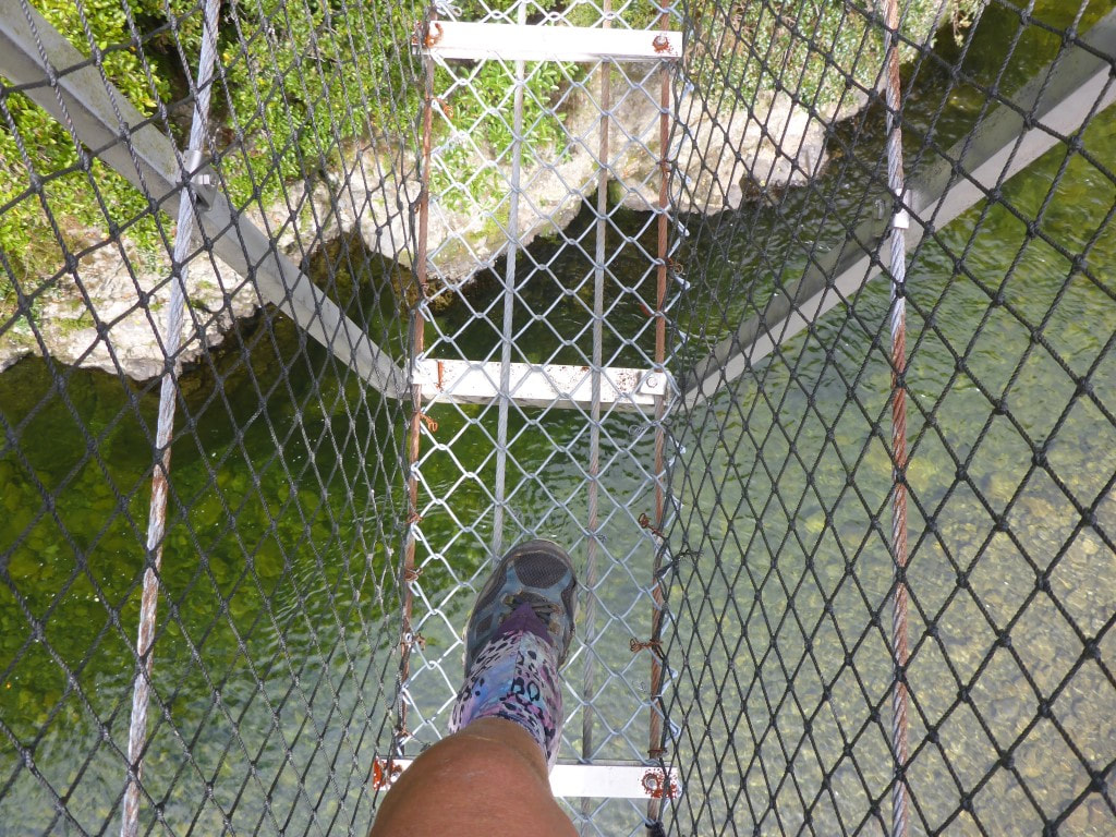
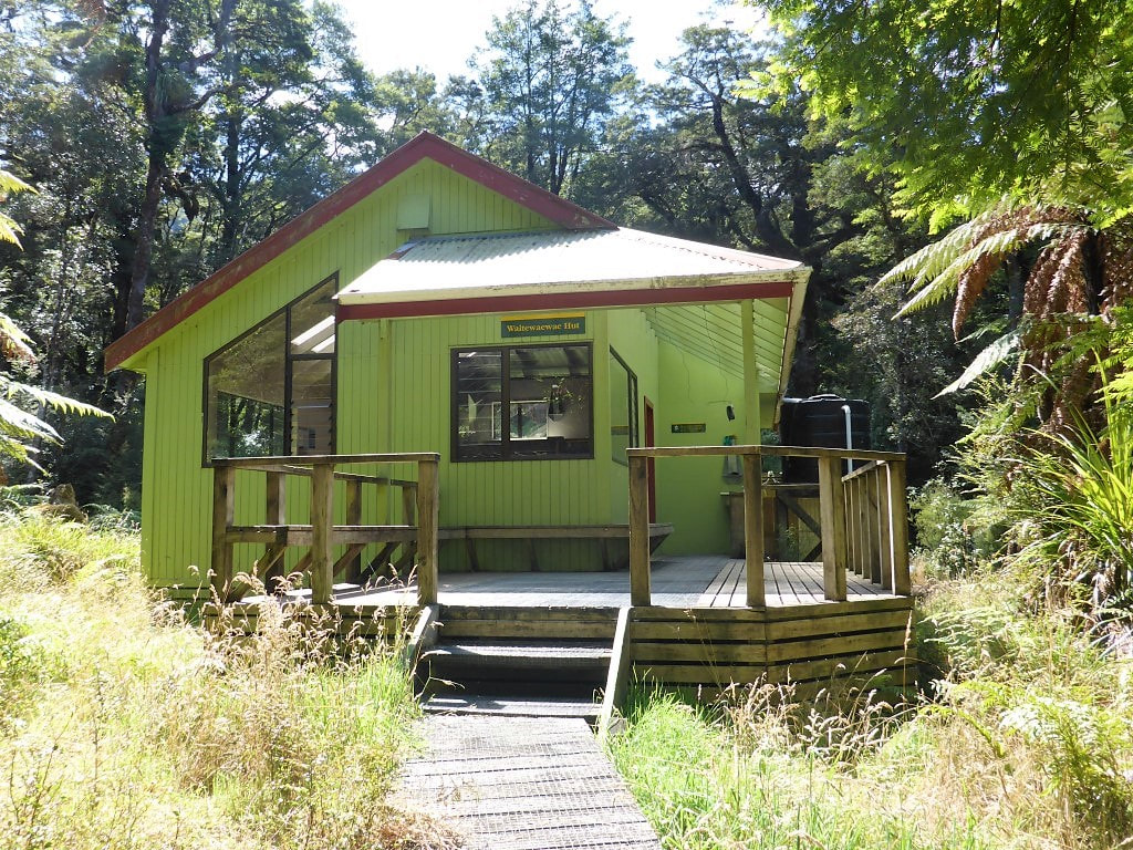
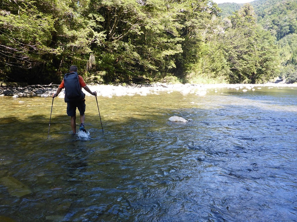
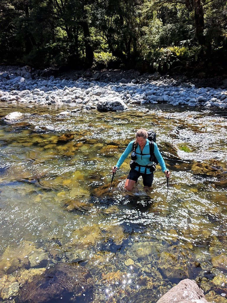
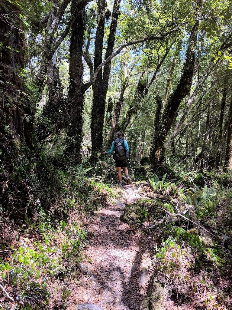
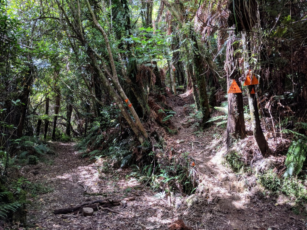
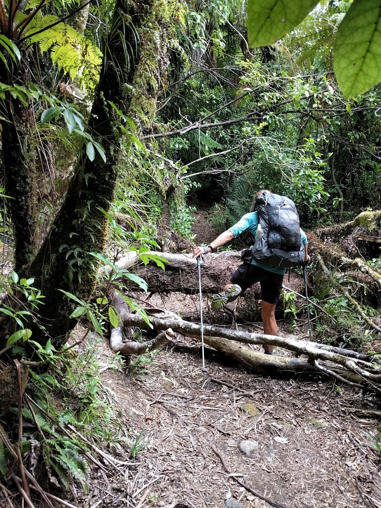
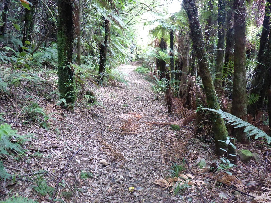
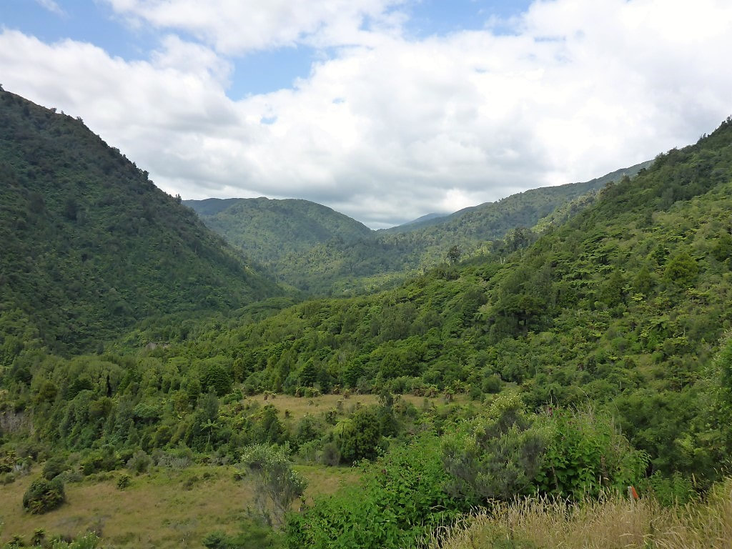
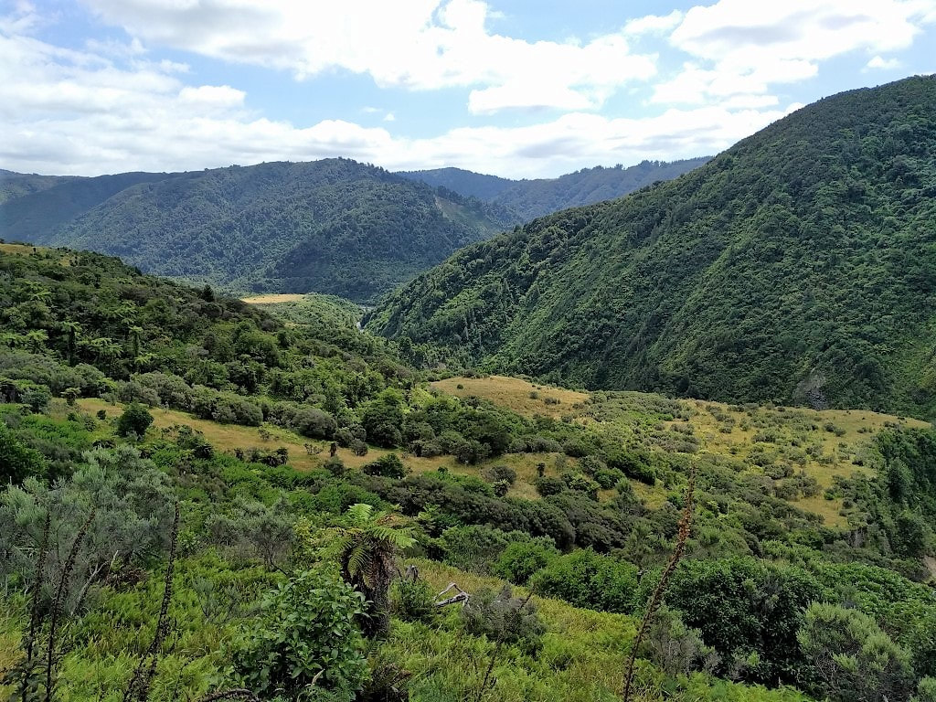
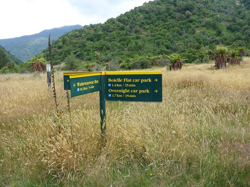
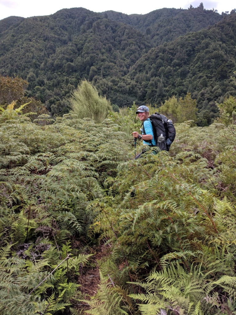
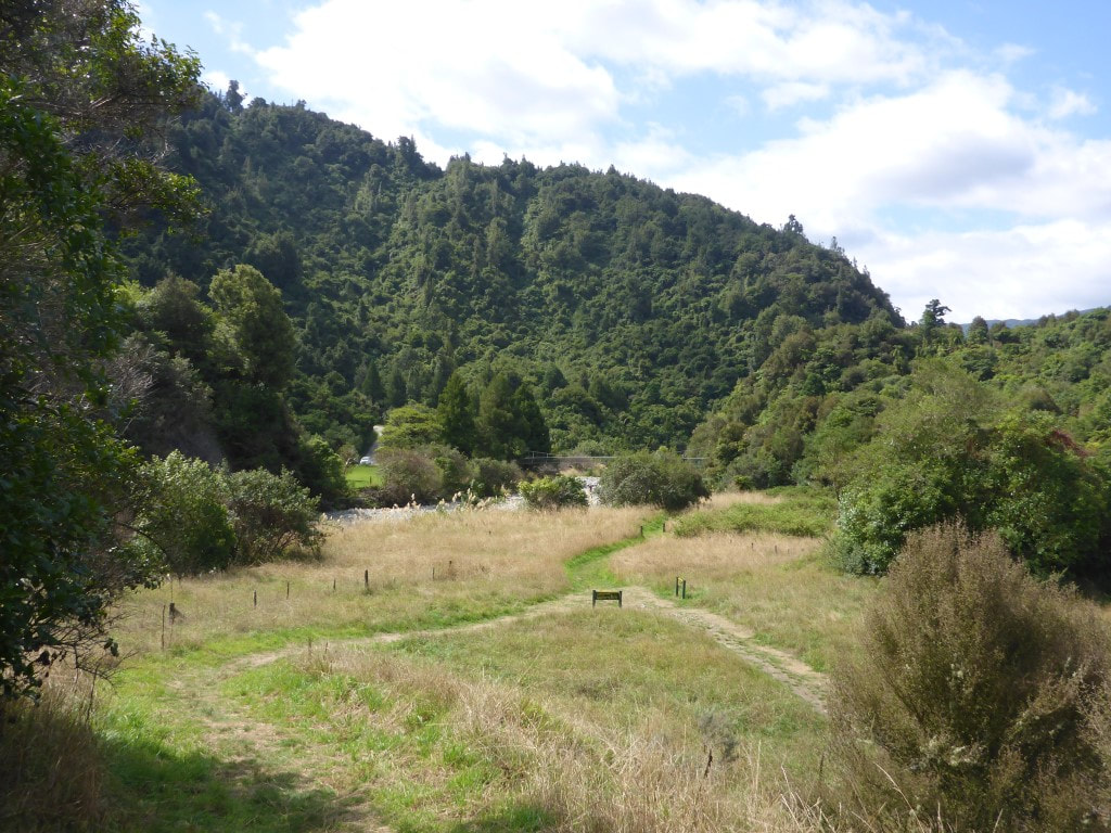
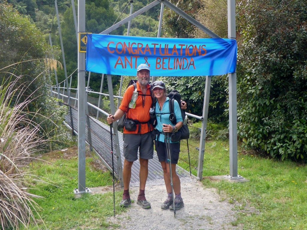
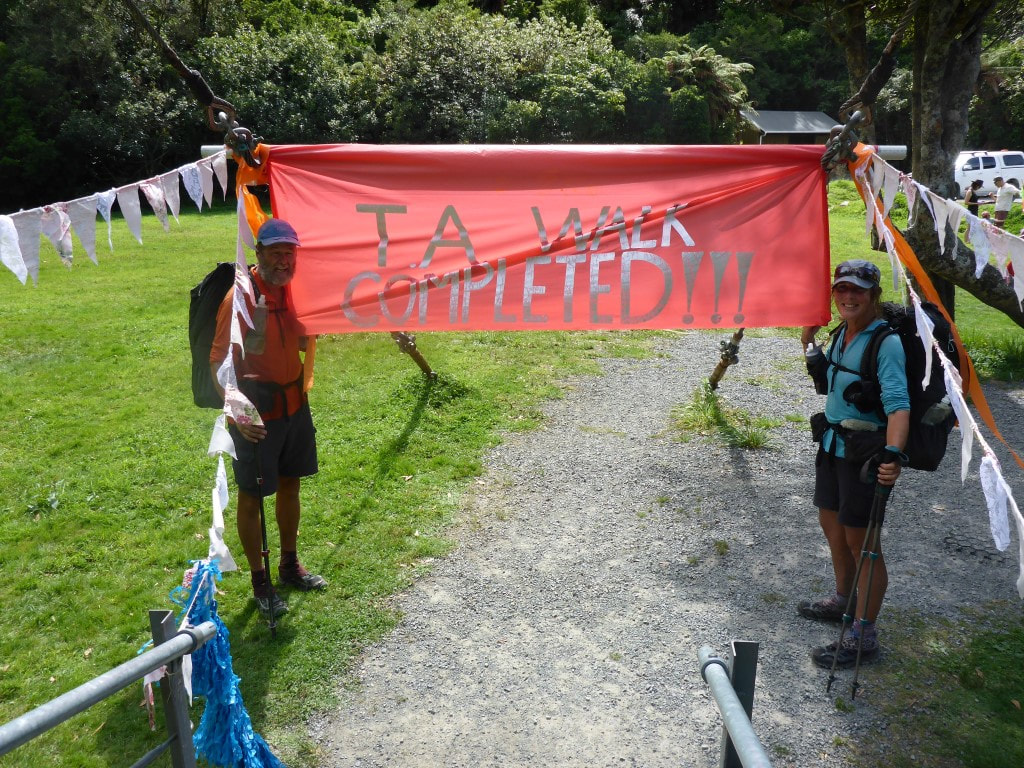
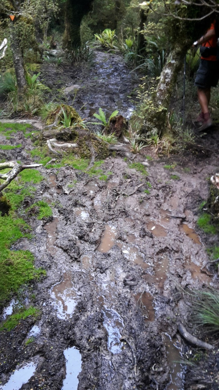
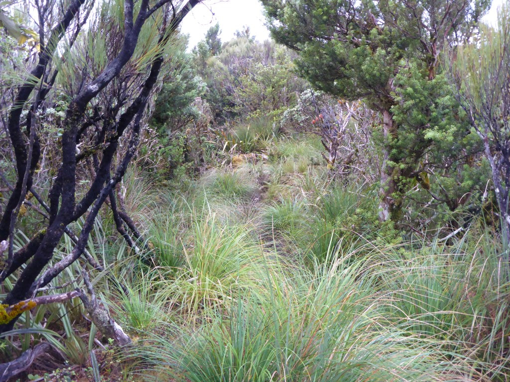
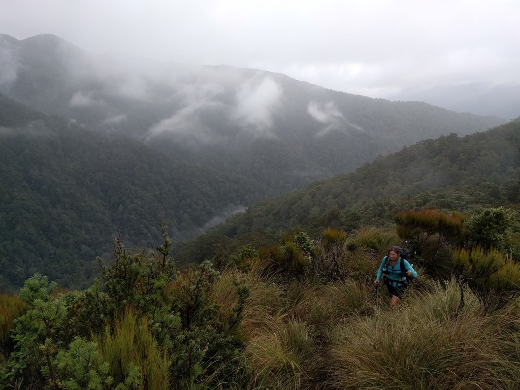
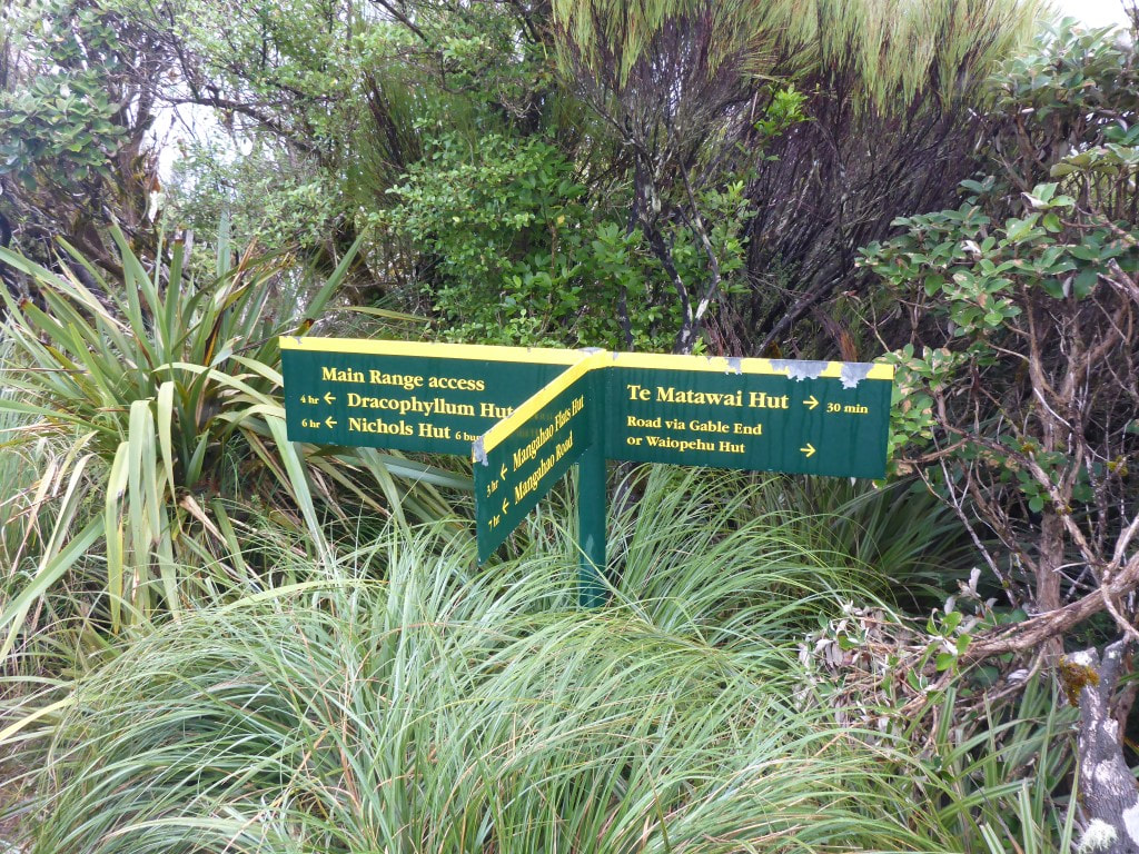
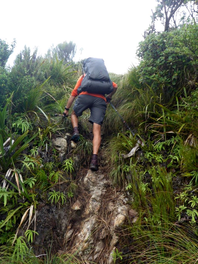
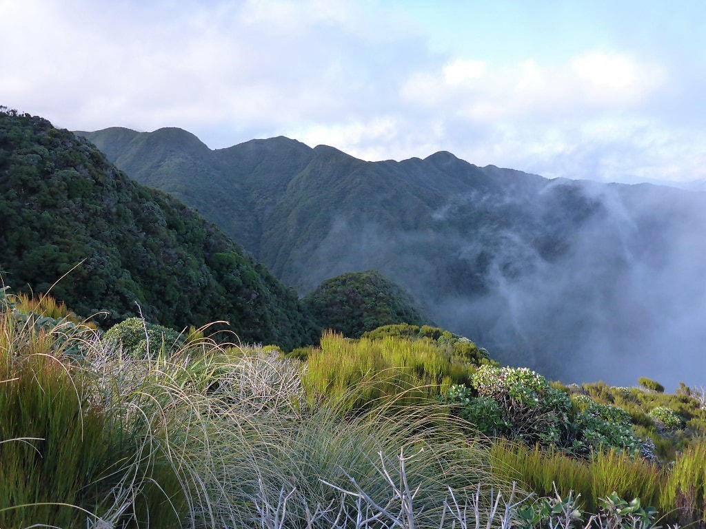
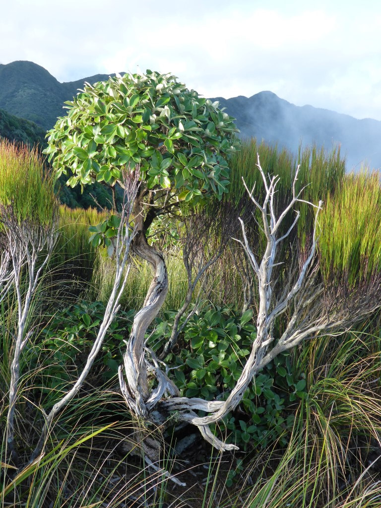
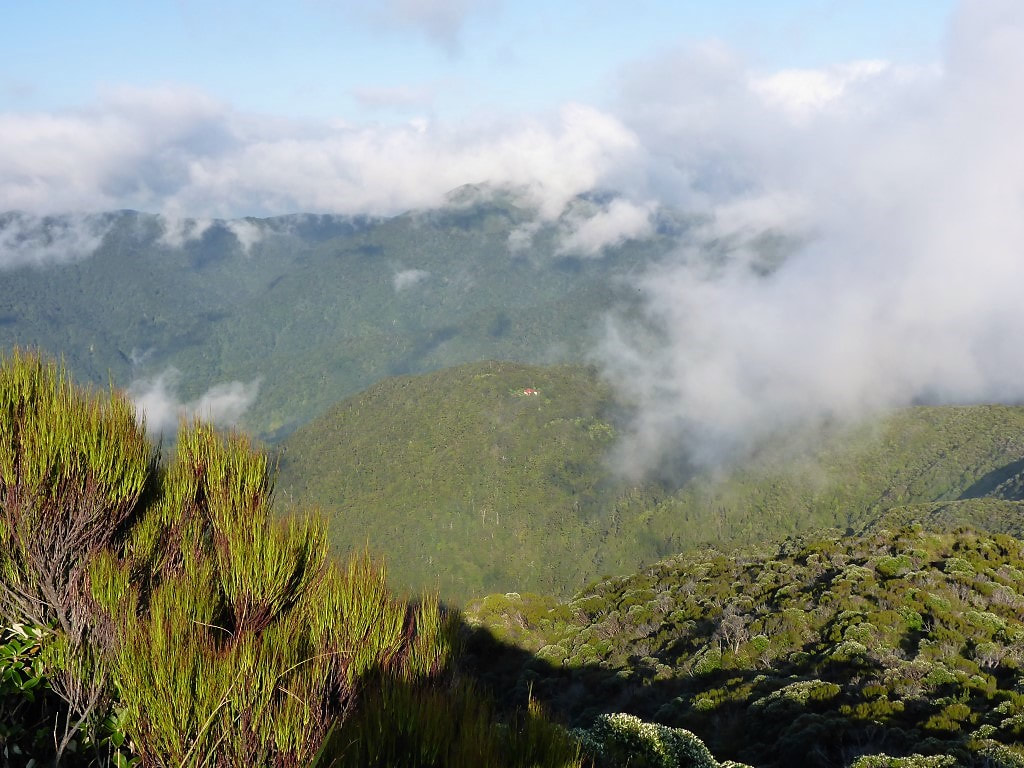
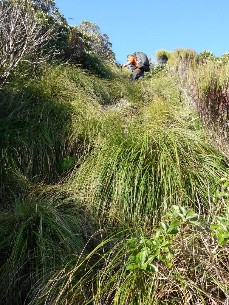
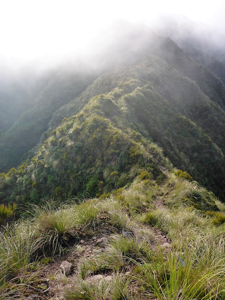
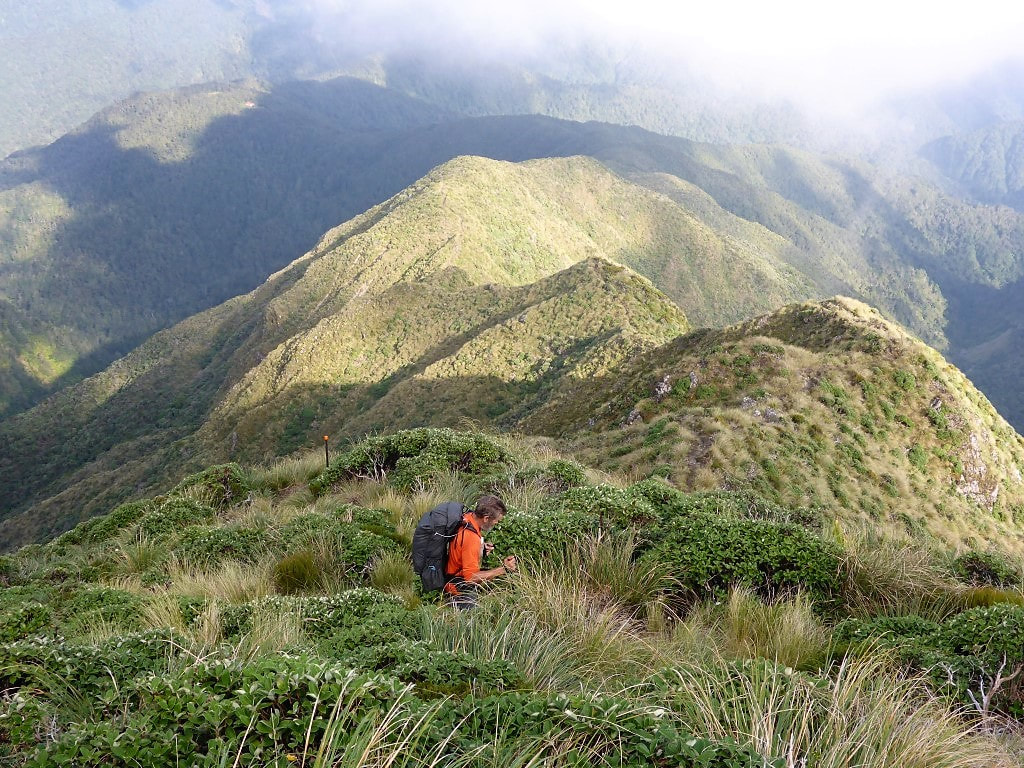
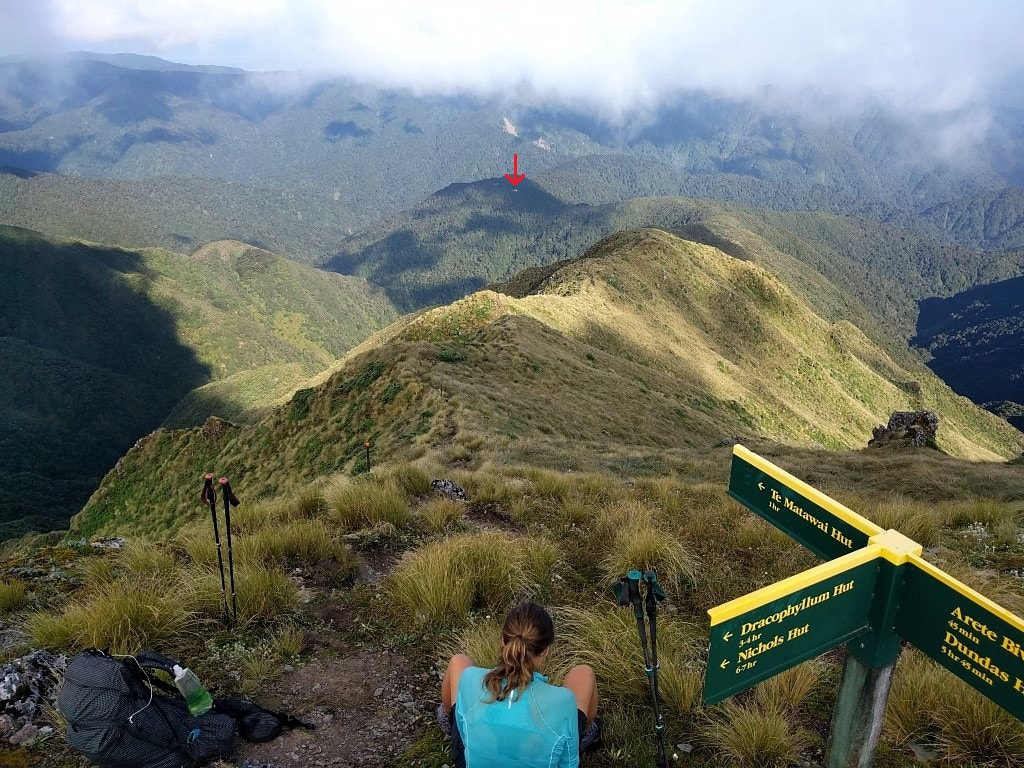
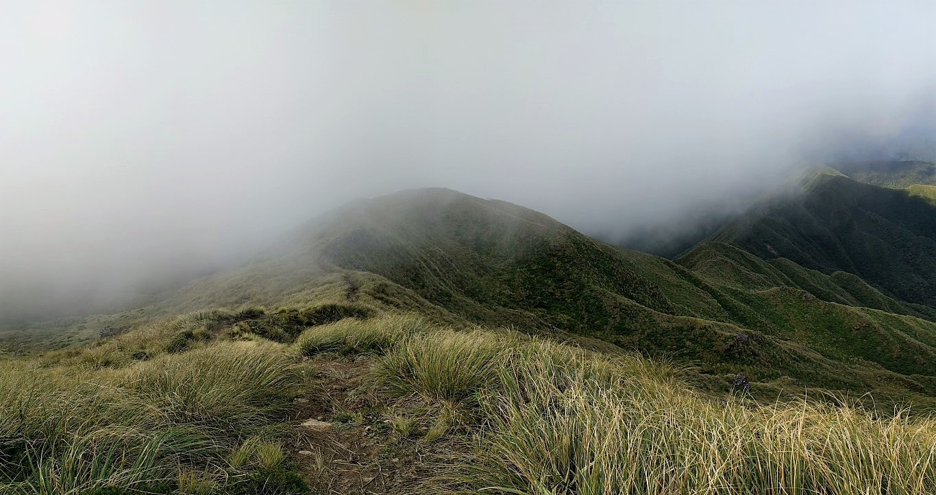
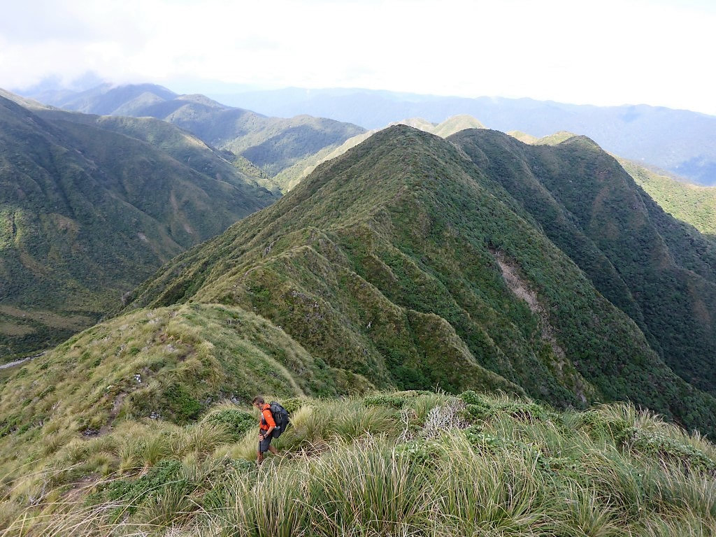
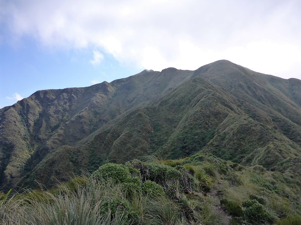
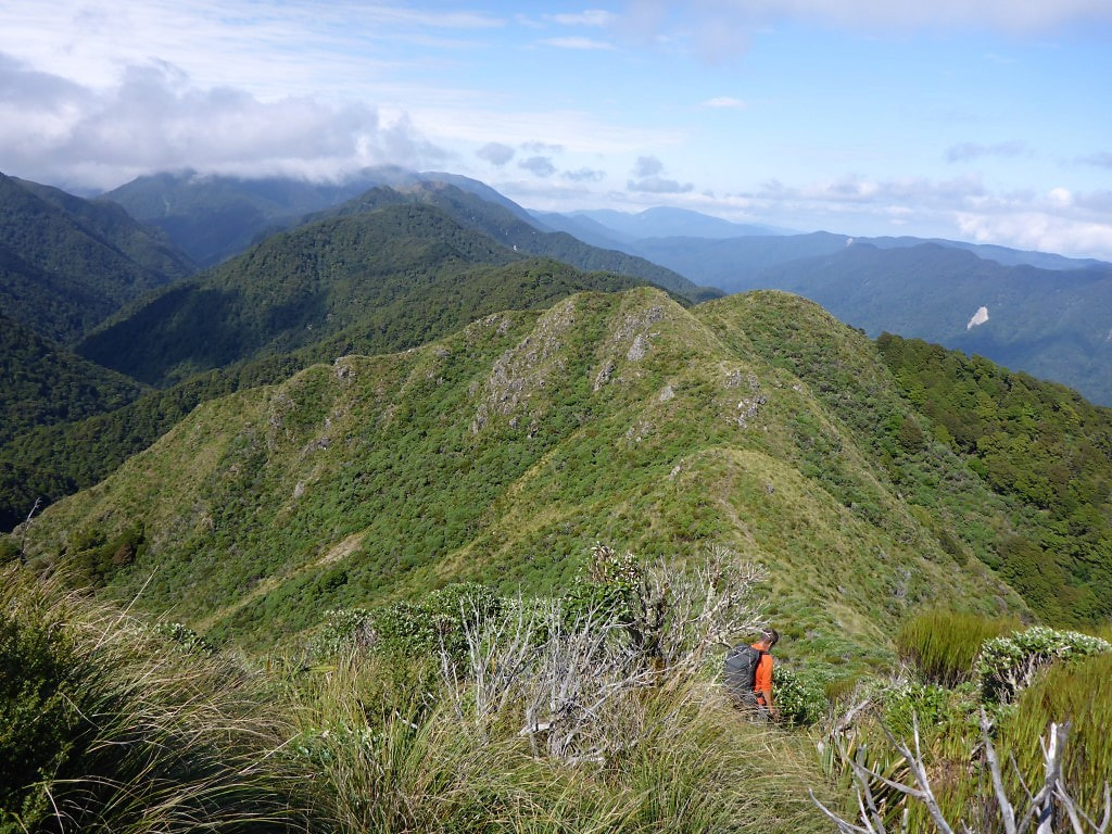
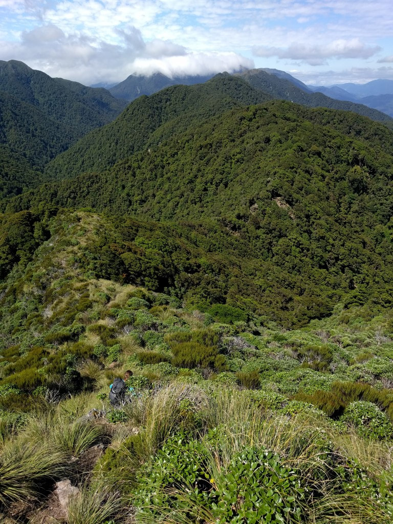
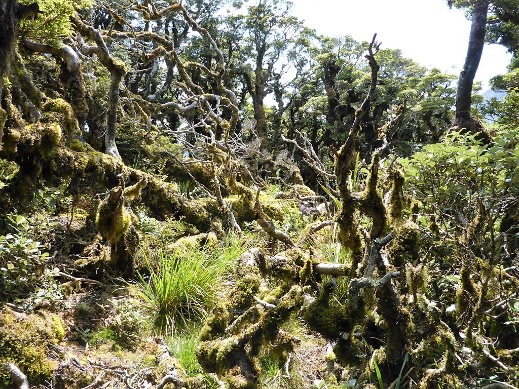
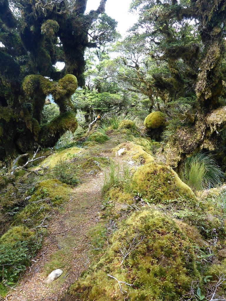
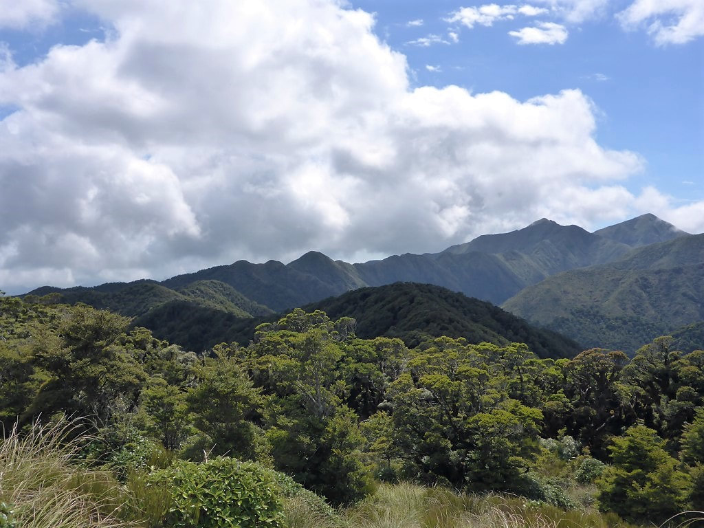
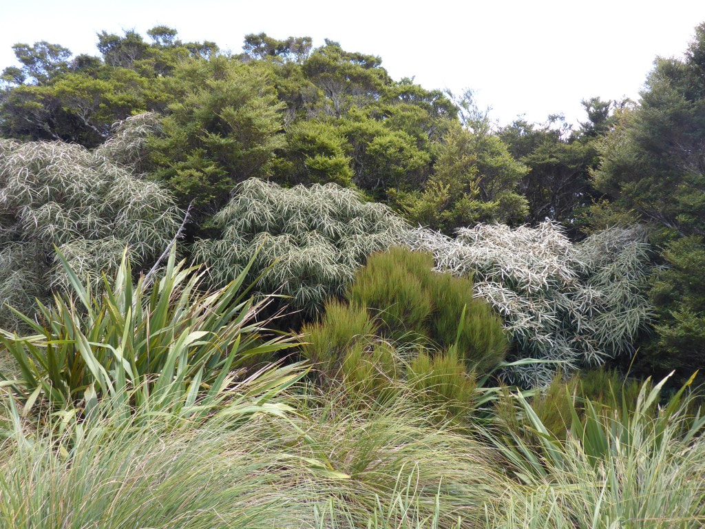
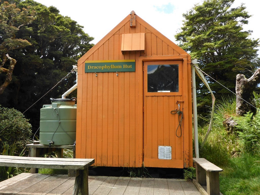
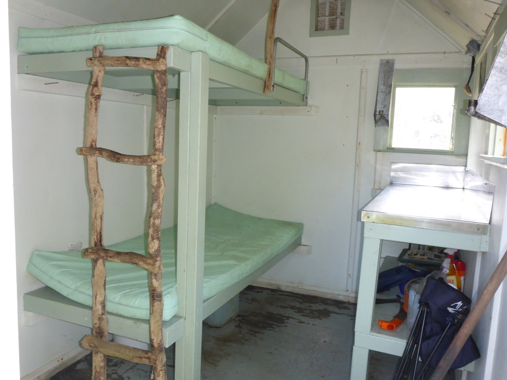
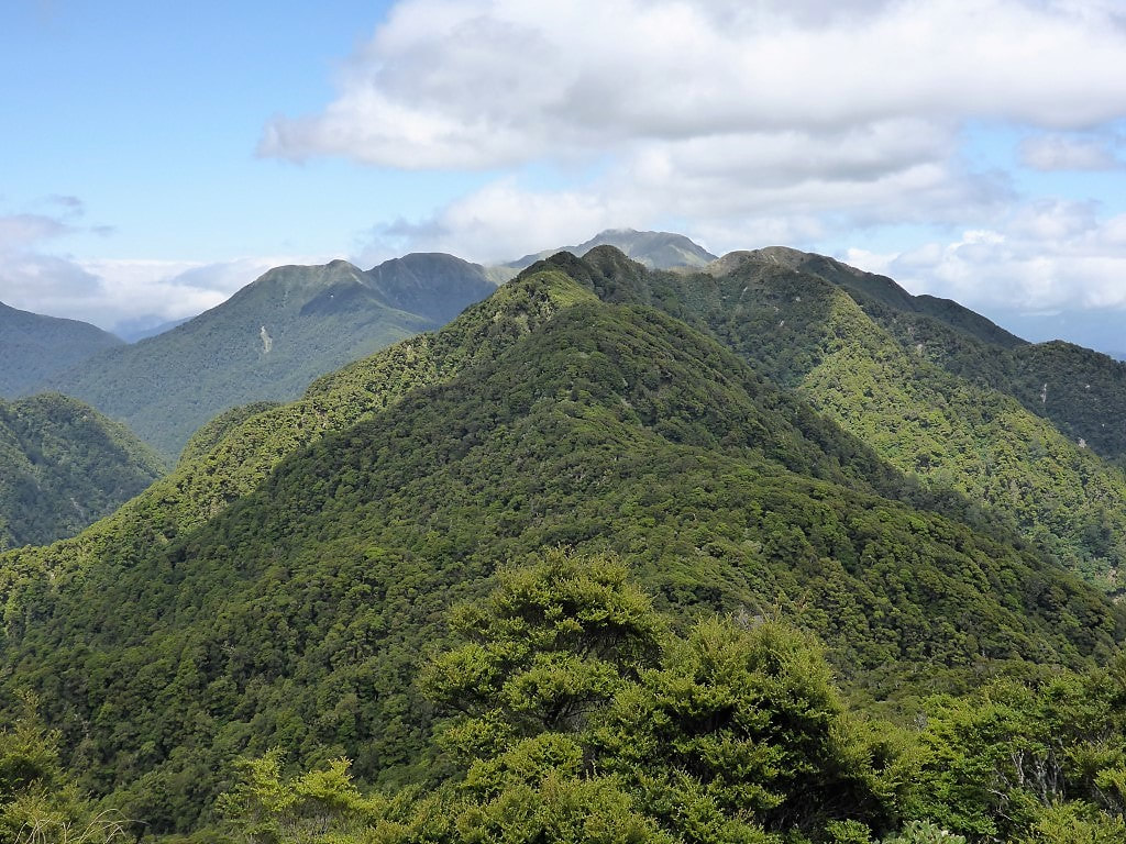
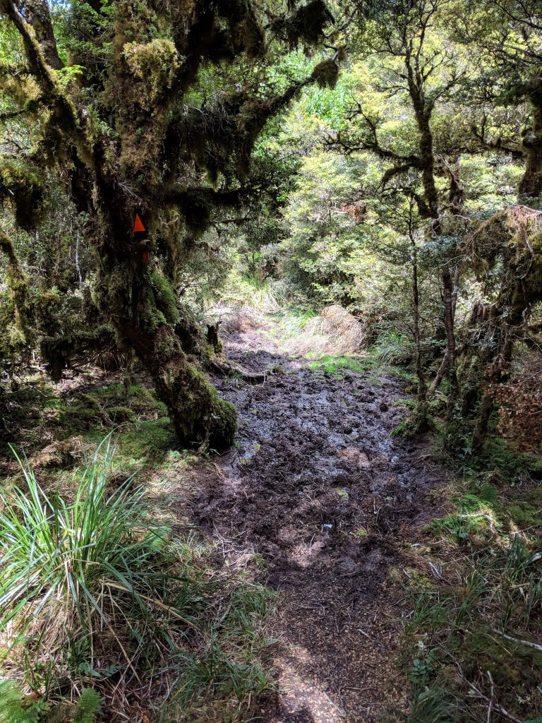
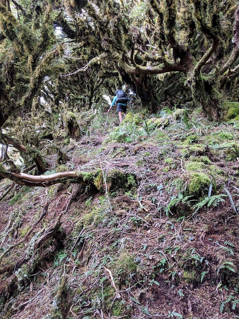
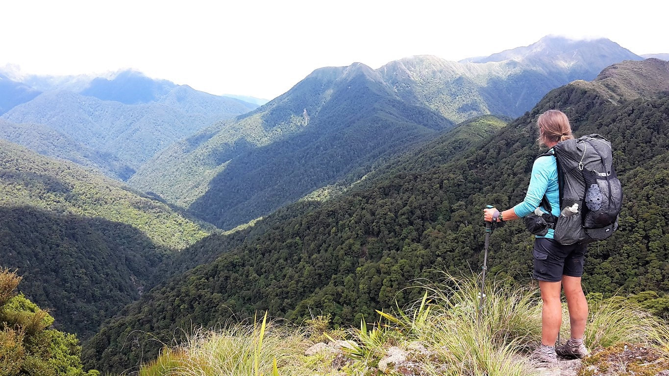
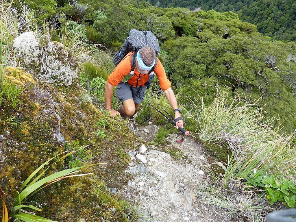
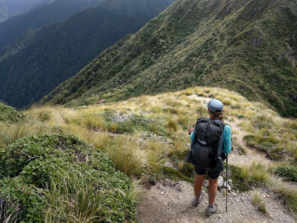
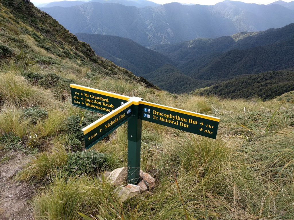
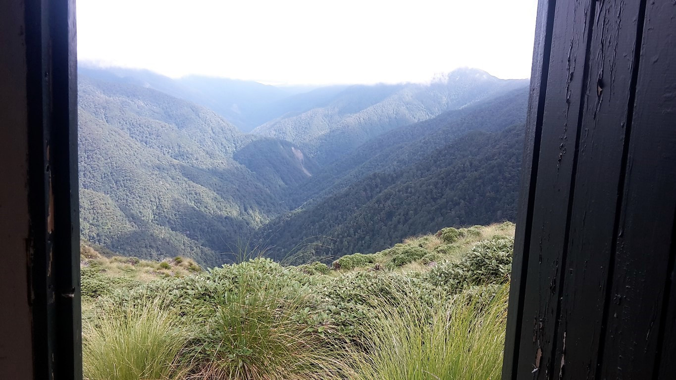
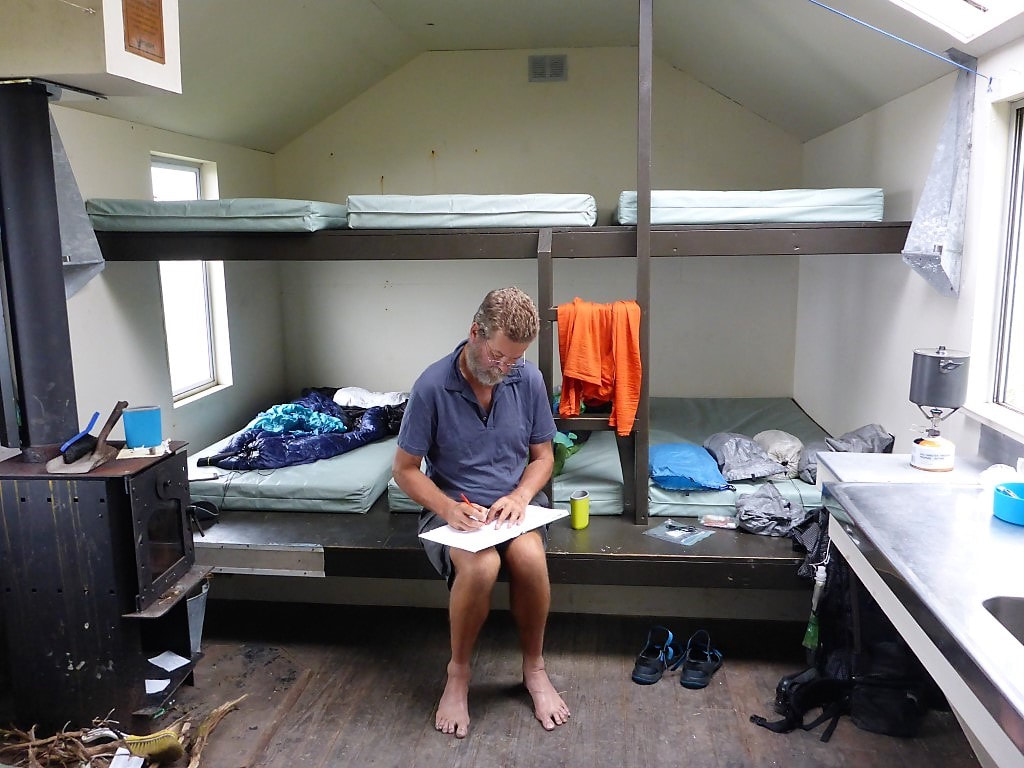
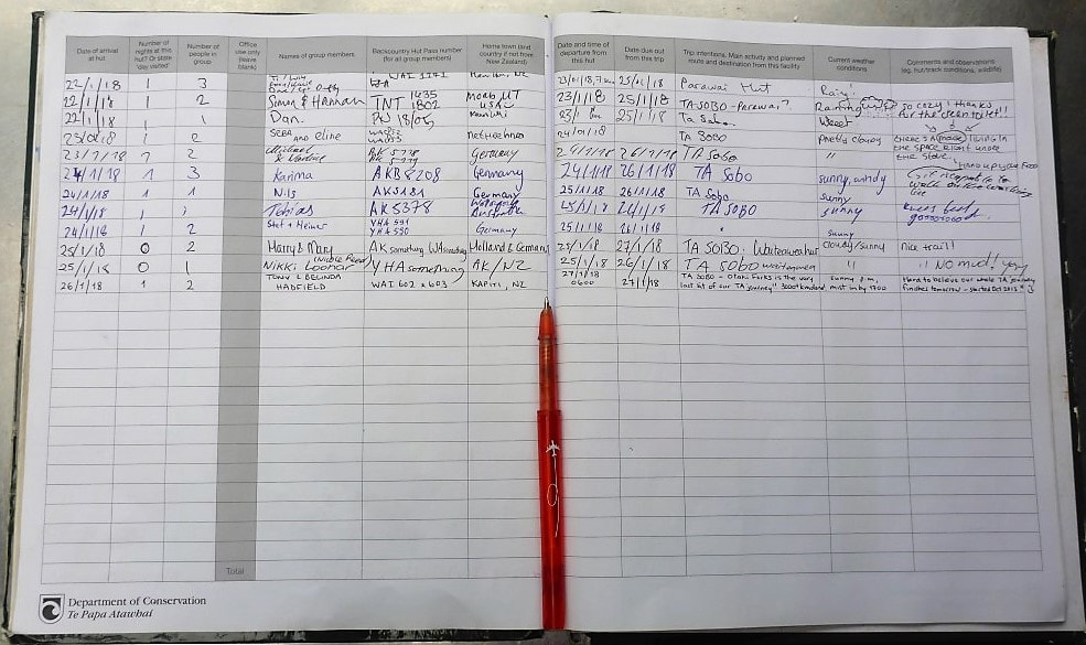
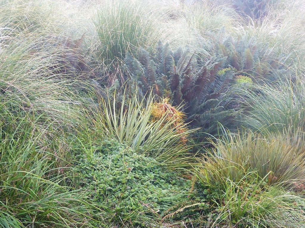
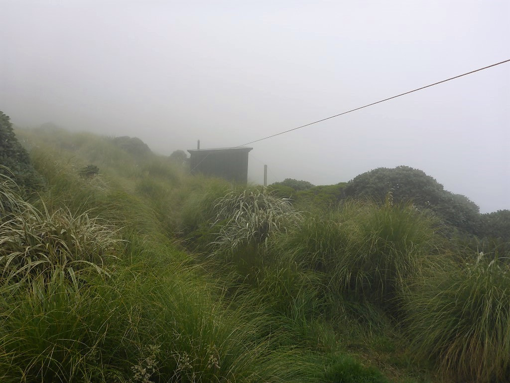
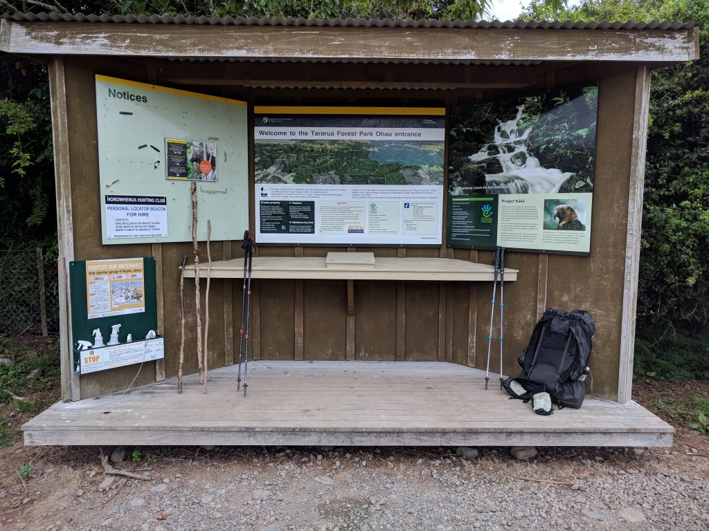
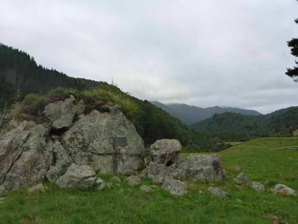
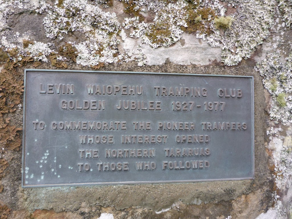
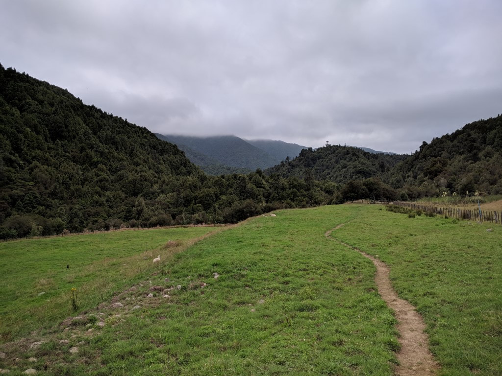
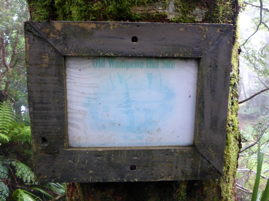
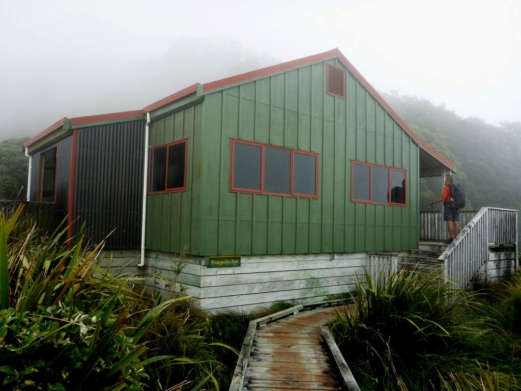
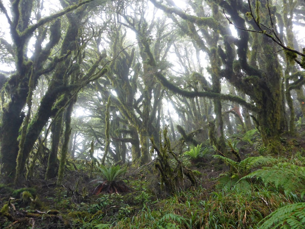
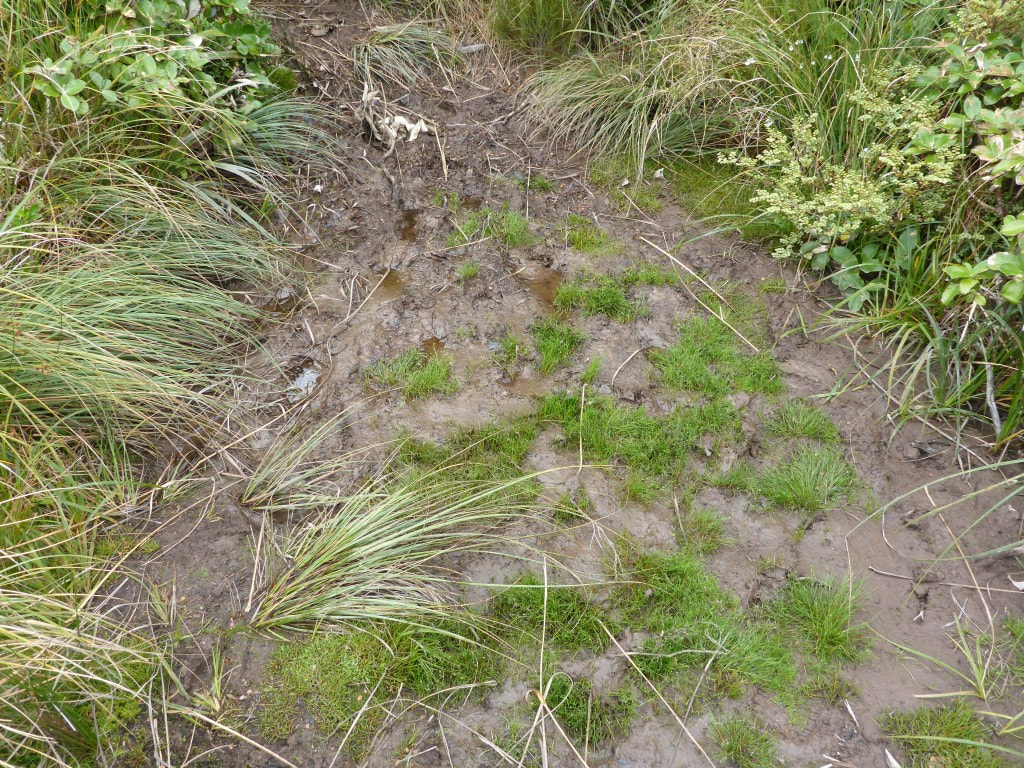
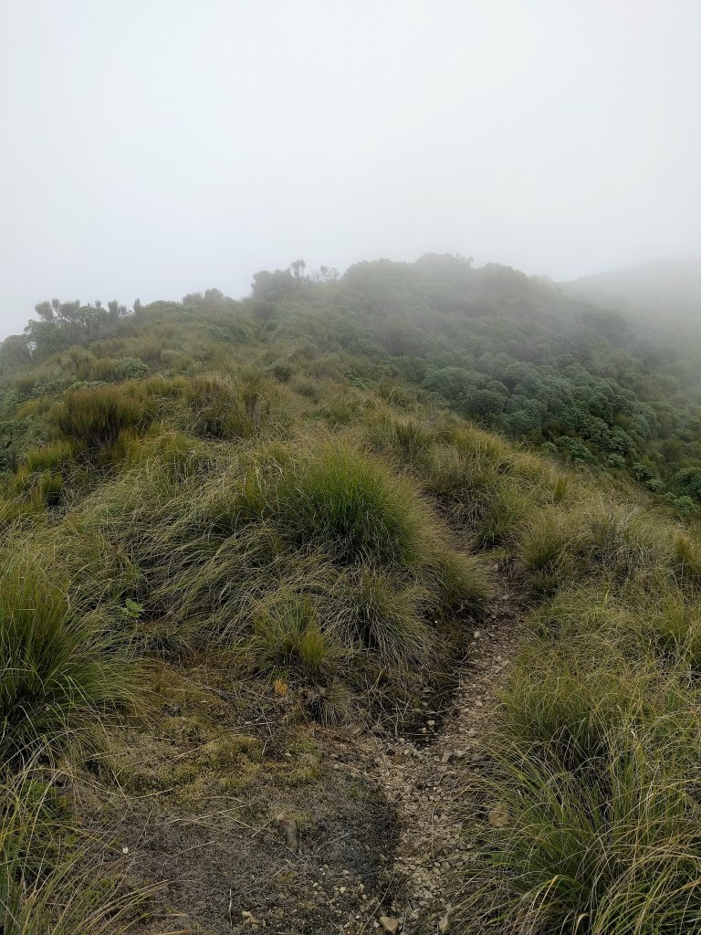
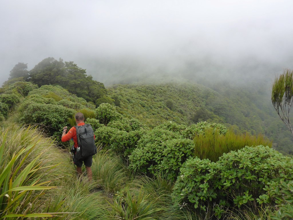
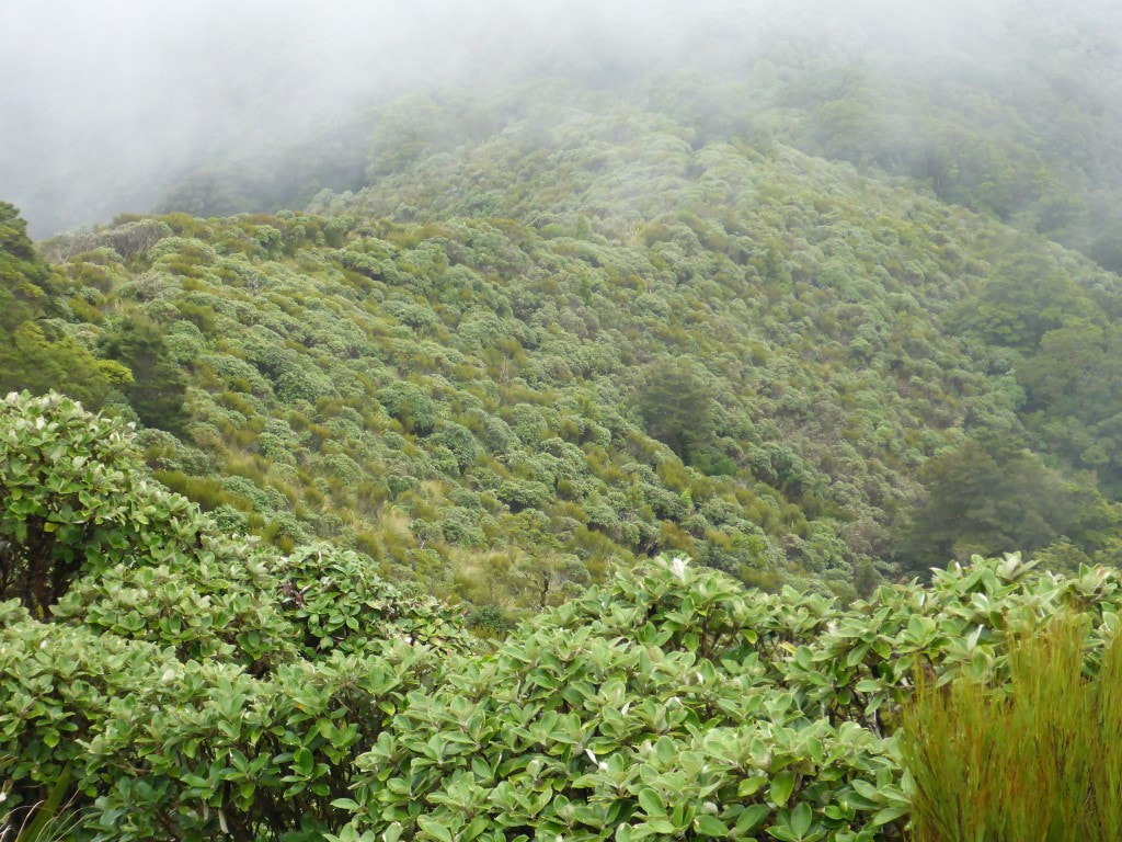
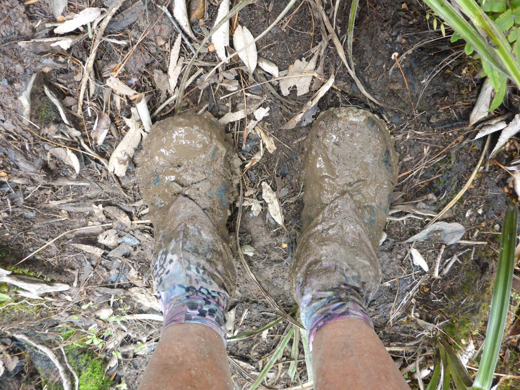
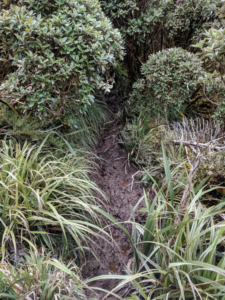
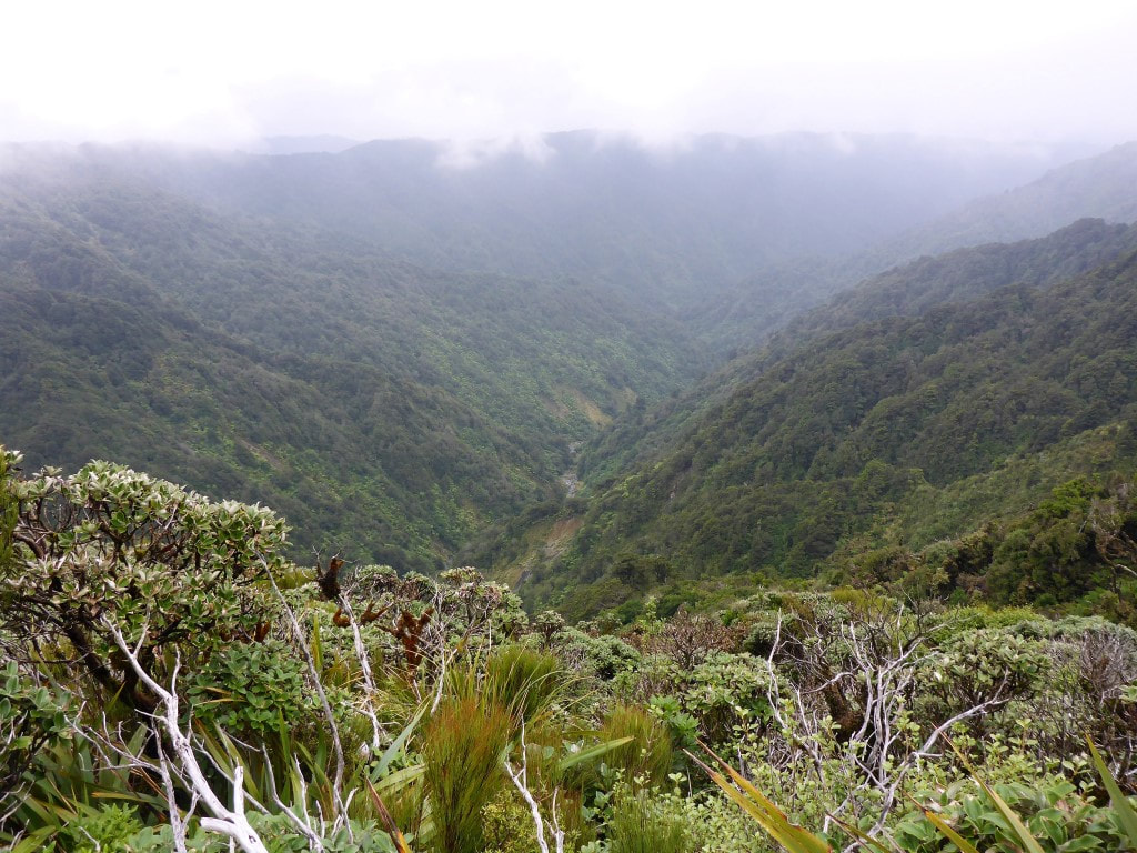
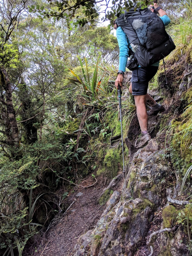
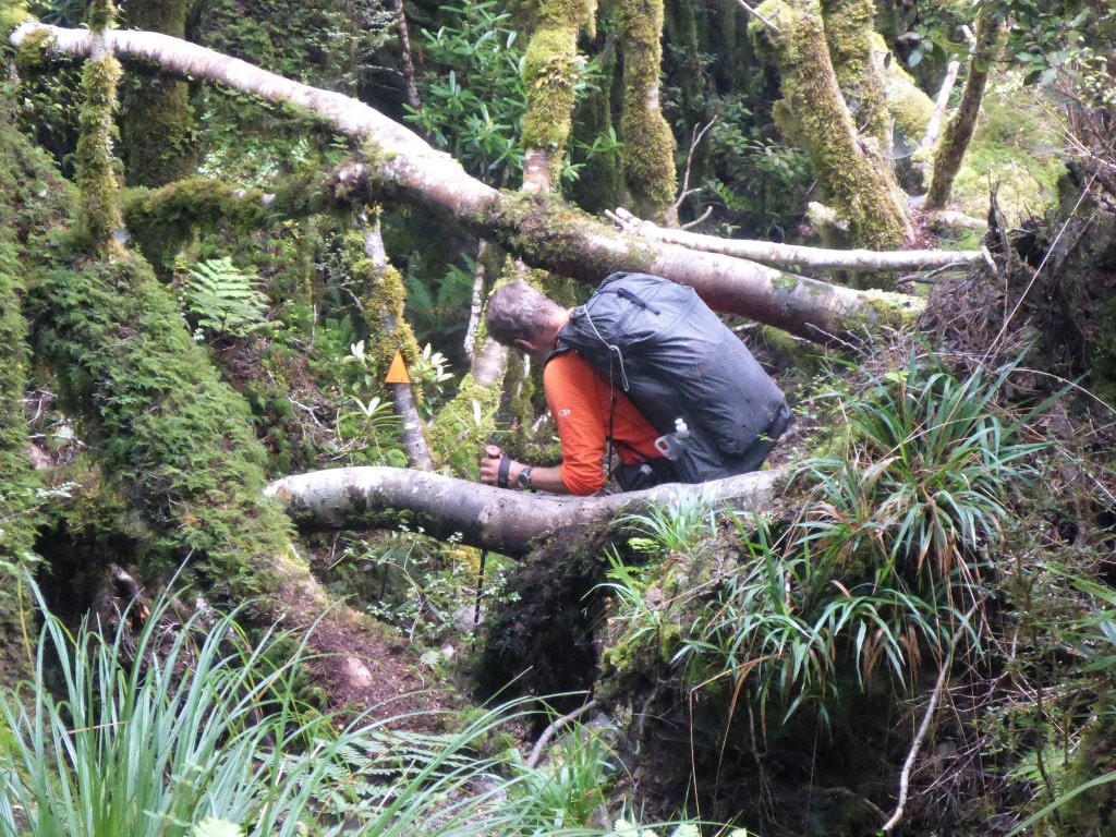
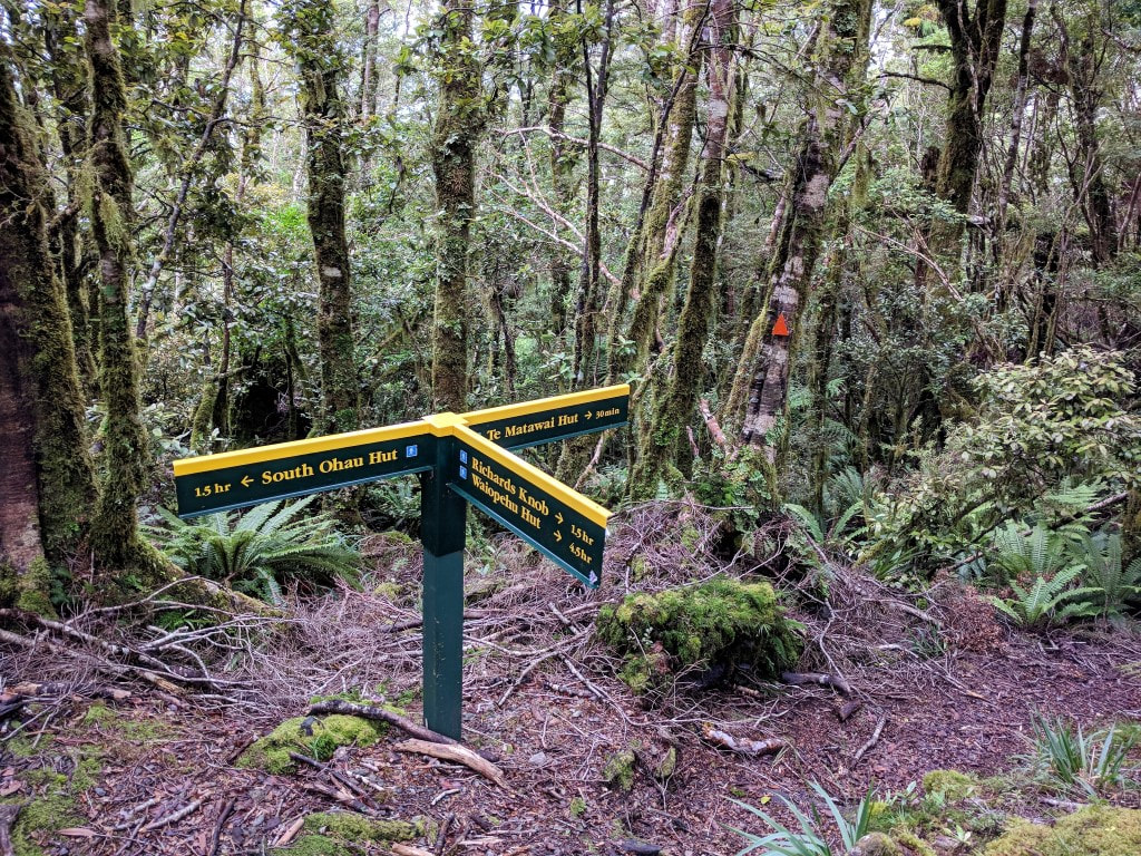
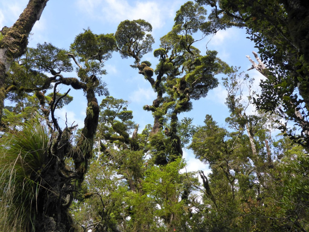
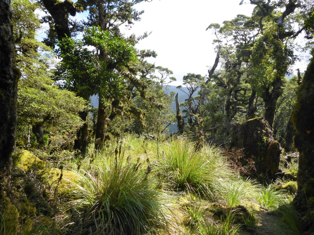
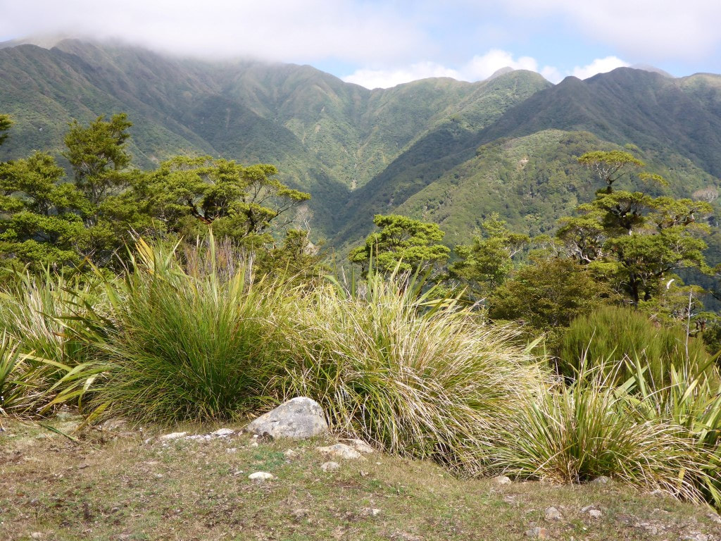
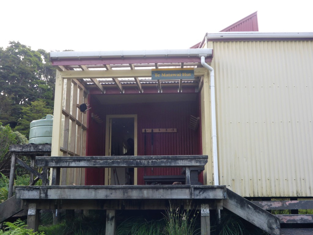
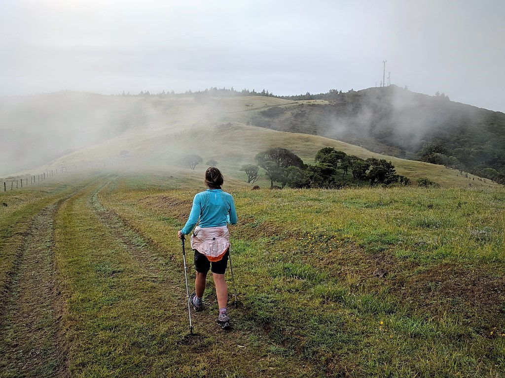
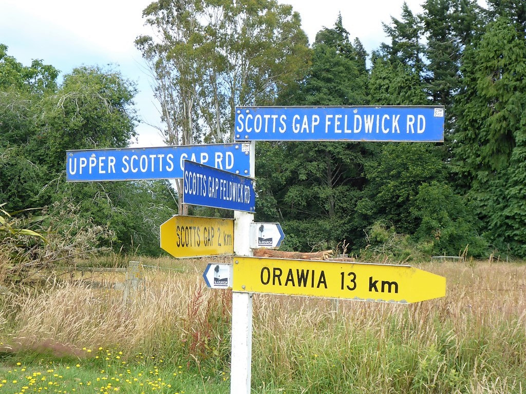
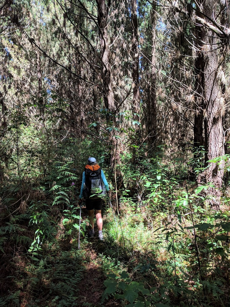
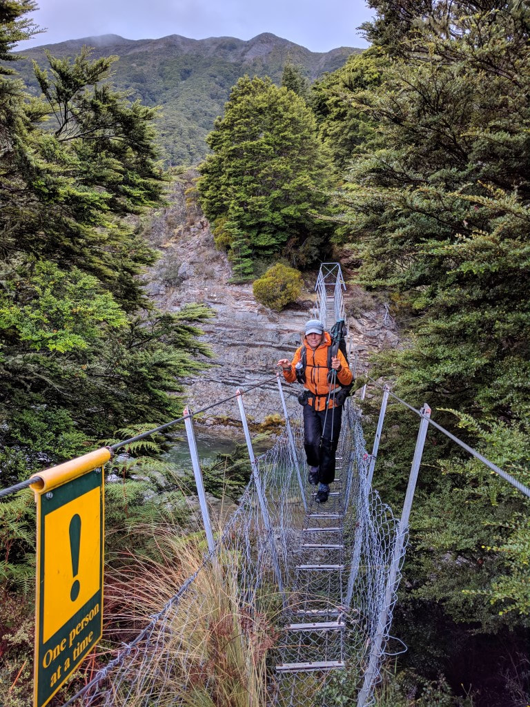
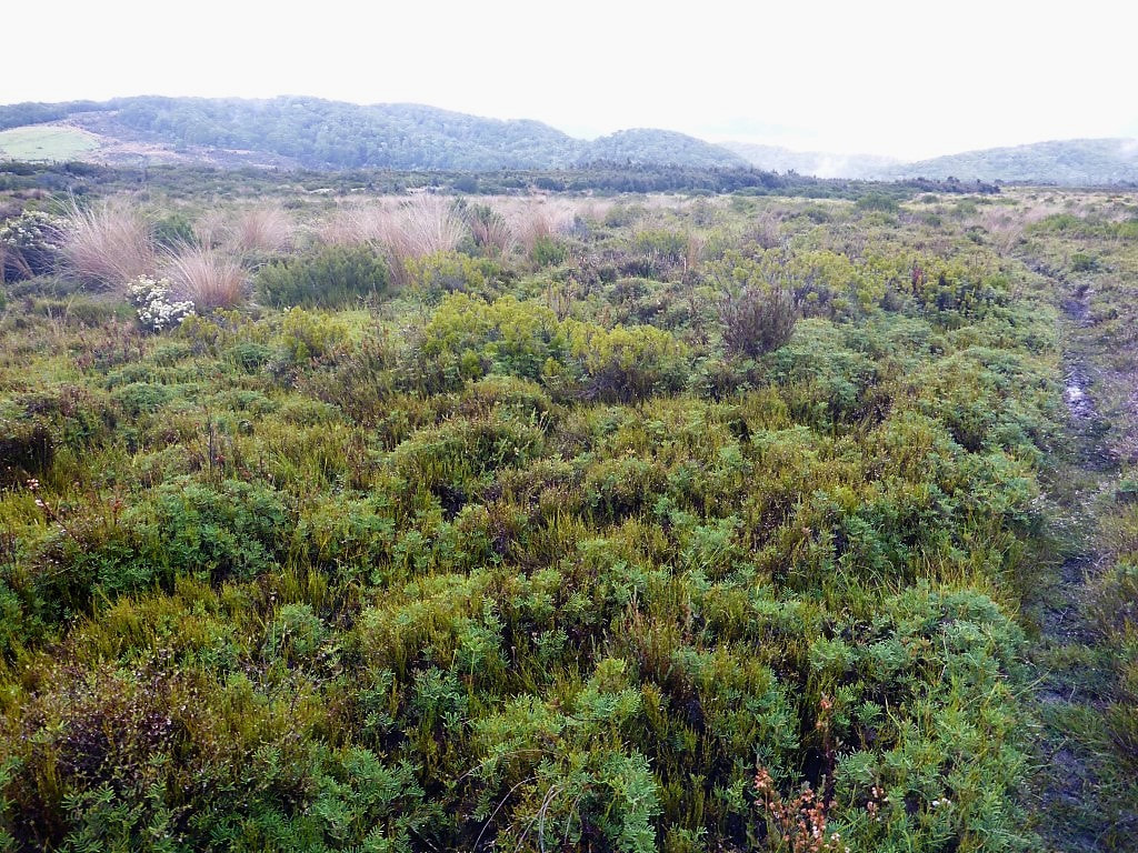
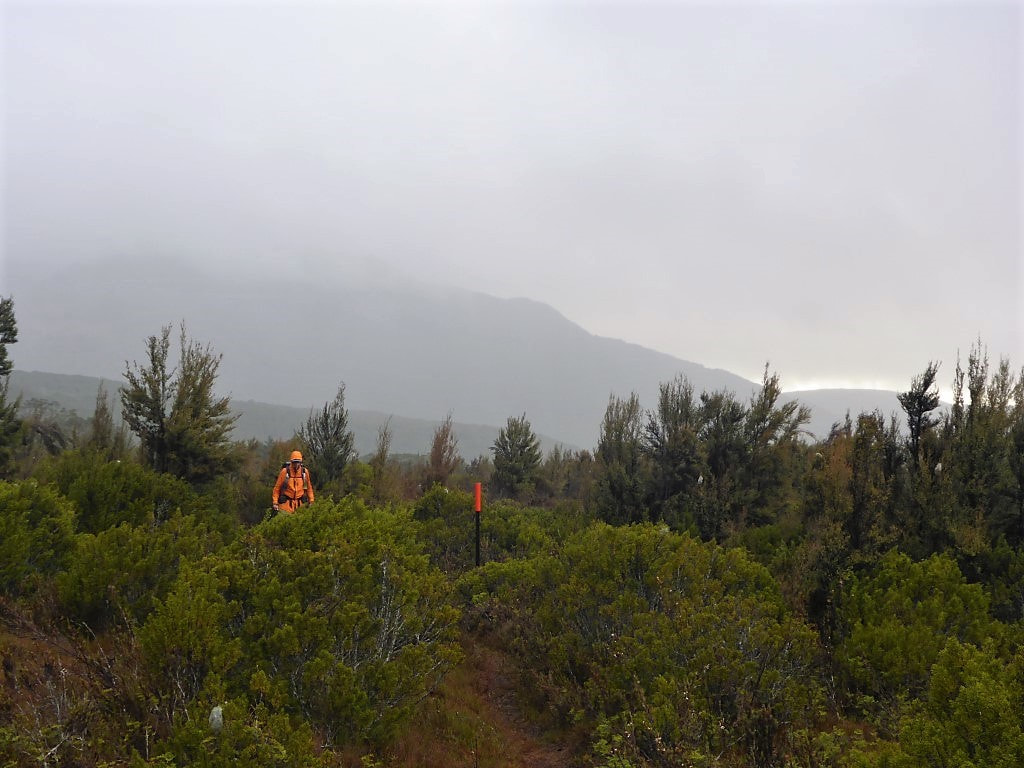
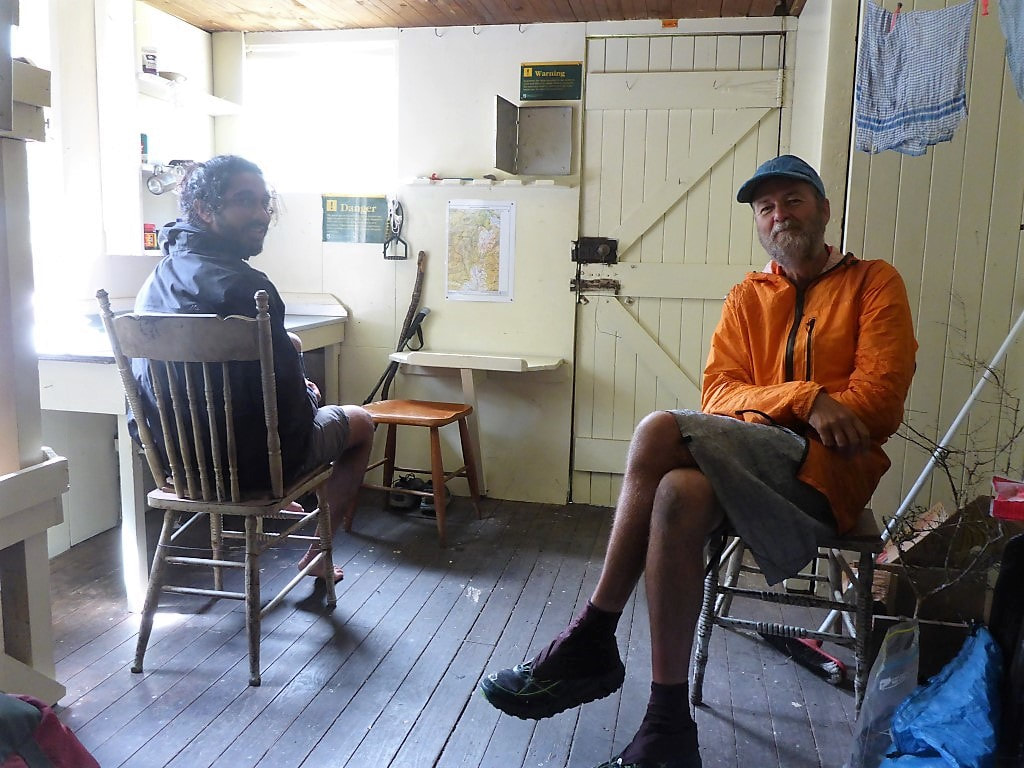
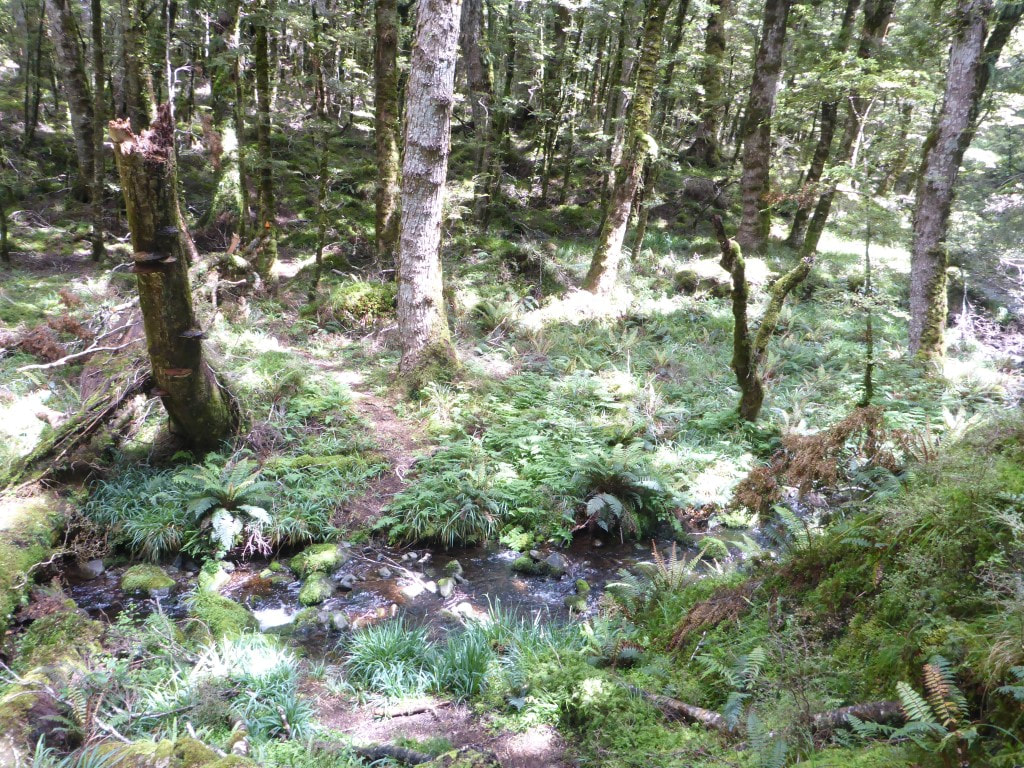
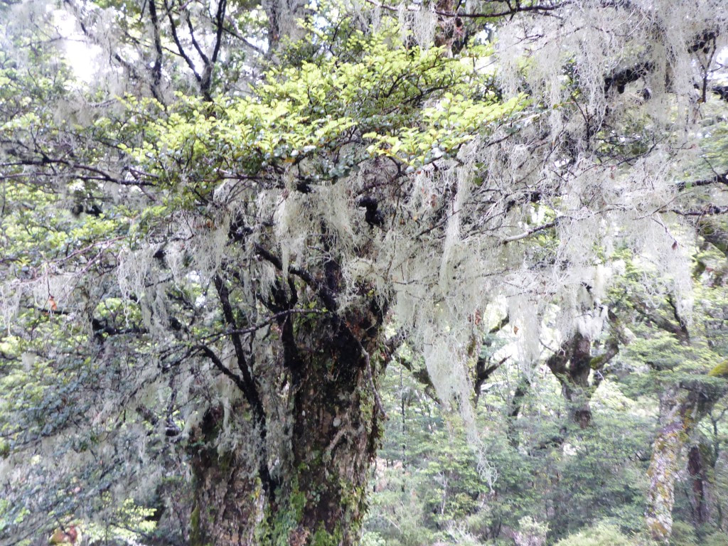
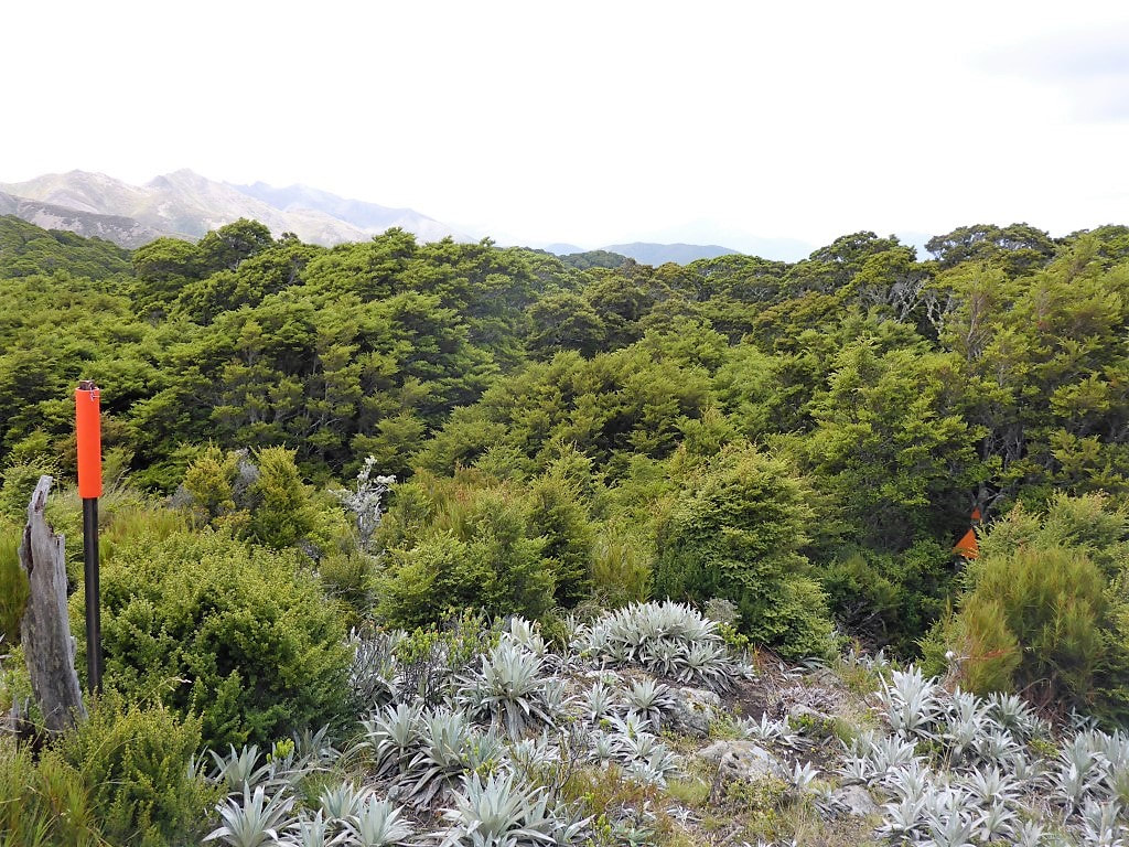
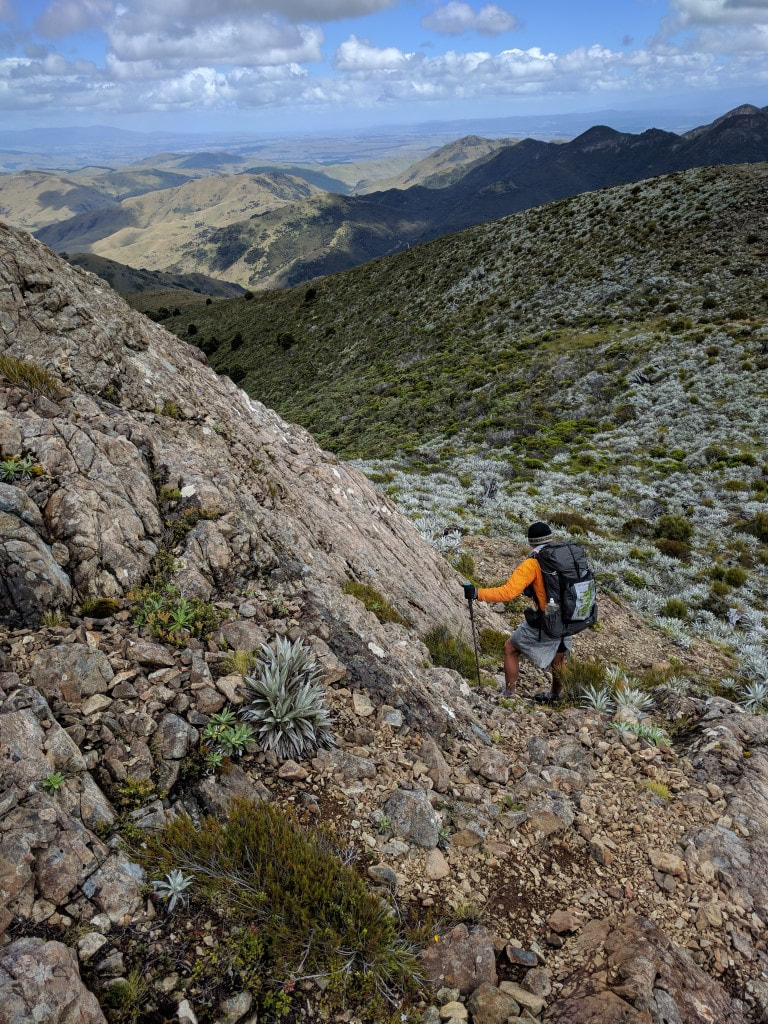
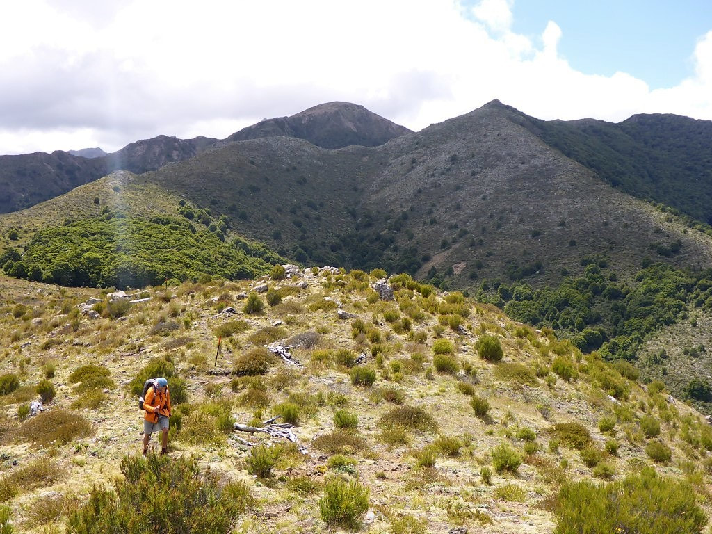
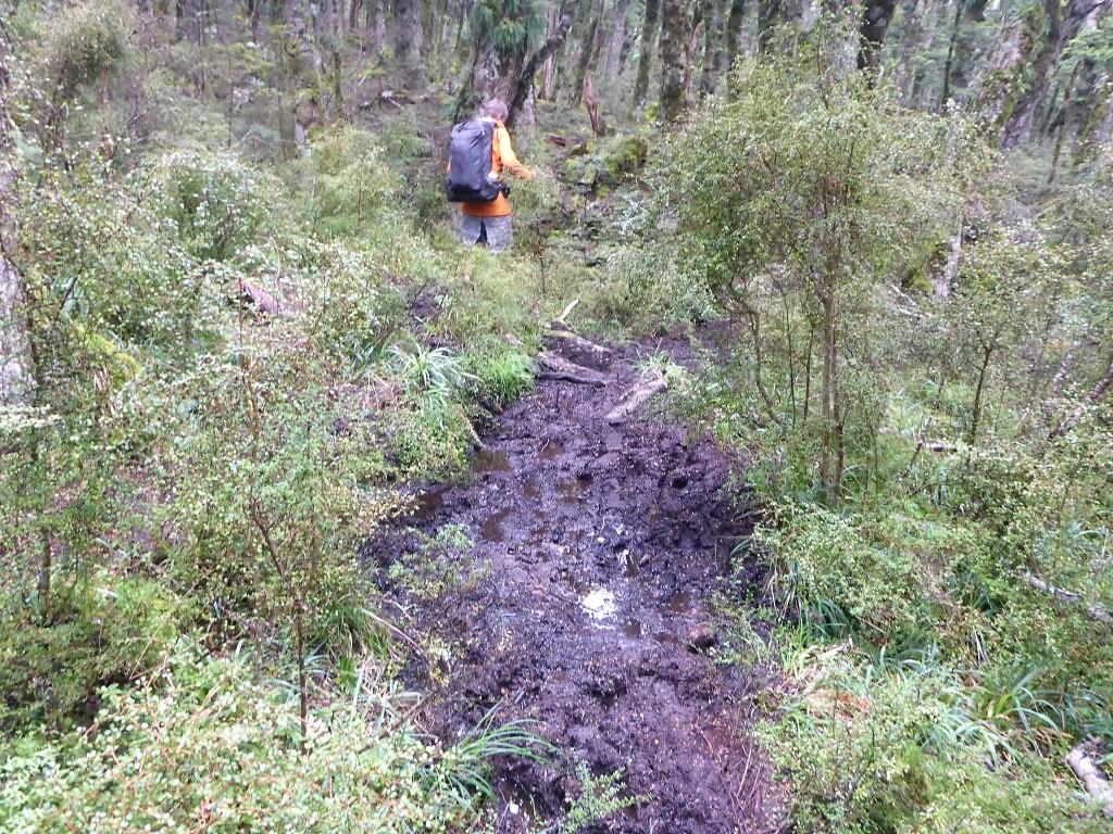
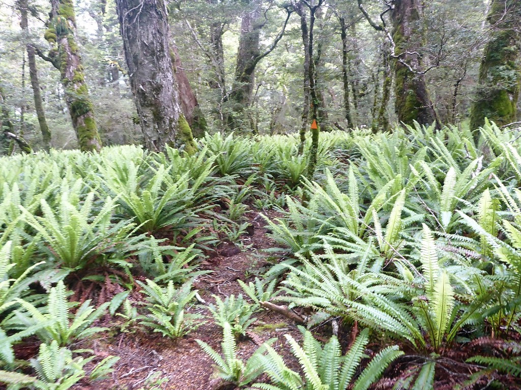
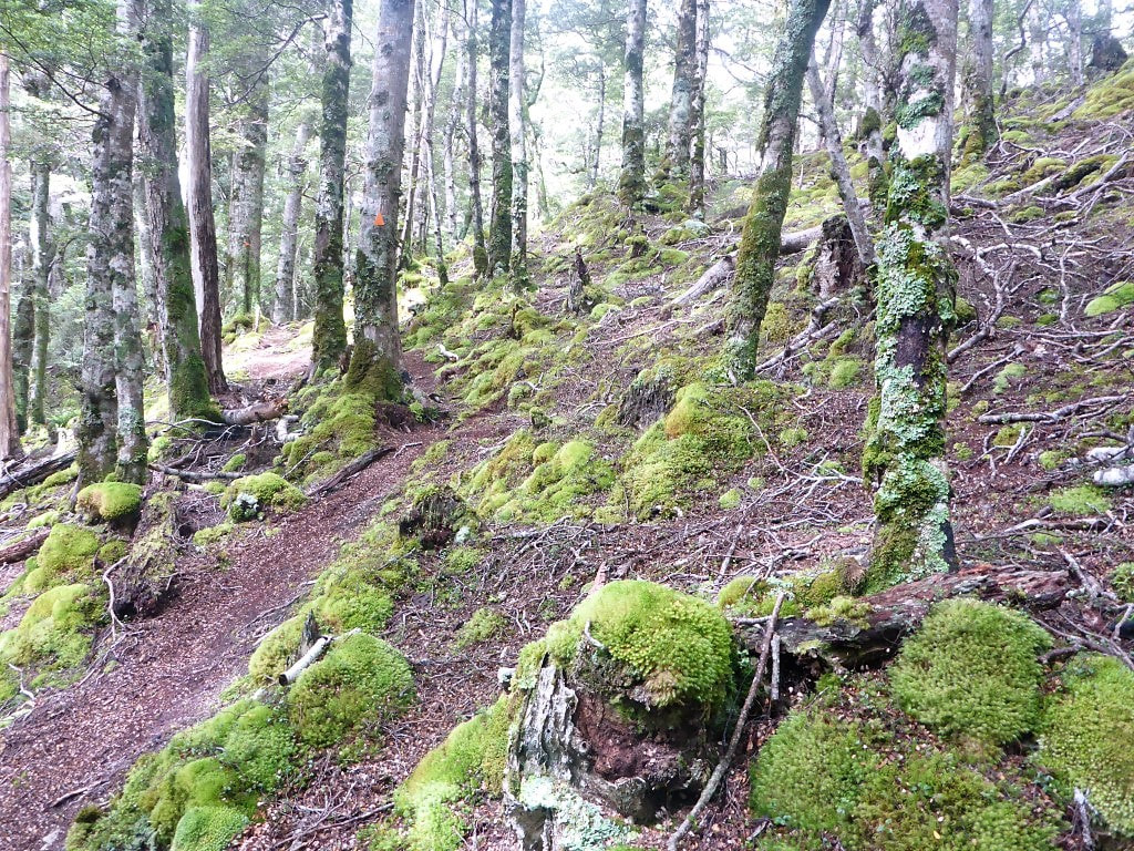
Today was the final day of our TA journey, right from top to bottom!! Belinda’s sister Julia, and husband Pete, had said they would come and pick us up and would be there from around 1600 in case we got in early (we expected to be closer to 1700 at Otaki Forks / Boielle Flat carpark/swingbridge). So we planned to get away early and arose at 0500. I then checked the Suunto which gaily informed me sunrise was at 0618 :-) Should check these things the night before!! Anyway, we had a leisurely breakfast with a couple of cups of tea and were ready to go by 0630 - while it was misty/cloudy, there was plenty of light to see by. TA notes said we had 18km and between 8 and 11 hours ahead of us! Suunto disagree with the distance, and we clocked up 20km finally. We arrived across the final swingbridge about 1615 after just under 8h30 of walking (9h40 in total as we kept our breaks short today so we wouldn’t be too late!!). The GPS tracking for the day is here. As noted, it was pretty misty and the tussock and scrub was wet, so rain skirts and jackets were the go for the start of the day. The jackets weren’t on long (it wasn’t cold or windy) but the rainskirts stayed for a bit longer. It was about 2.6km to Mt Crawford and another 1 km to Junction Knob - this is along some very exposed narrow ridges with sizeable drop-offs on either side. Hence the warning to trampers that they may need to be prepared to wait at Nichols Hut if weather conditions aren’t favourable (it can get REALLY windy up here!!). Luckily we only had a gentle breeze at worst and, at times, no wind at all. At 1462m, Mt Crawford is 300m higher than Nichols Hut so there was a fair bit of “up” and somewhat less “down”! Our views were hindered by the misty cloud but it was an amazing feeling climbing along these ridges in limited visibility nonetheless. We also got some great photos of our shadows in a circular rainbow projected onto cloud to the west, as the sun was behind us (see below). The climb to Crawford took us 1h20 and wasn’t too arduous - the bit that was concerning us most was the fact that the finish line was 1300m lower than Mt Crawford, i.e. lots of descending for the knees to cope with!! Video of us walking in early morning cloud is below. Then it was on down to Junction Knob where we were surprised by a runner coming up behind us out of the mist, who only stopped long enough to tell us he was headed for Kaitoke near Upper Hutt, along the Main Range route south - I have no idea where he stayed last night! We turned west here and started down toward Shoulder Knob. The cloud was clearing a little as we headed down and went further west, so we saw some sun and some more views as time went by. At the 5km mark we got to Shoulder Knob (still at 1300m asl) where we stopped for 25 minutes for a break and to catch up on some phone things (cellphone reception has been pretty good on this trip, although none at Nichols Hut) and let the family know progress. A video below to show us about 30 minutes before Shoulder Knob. Below is a video from Shoulder Knob - note how the clouds come and go between the previous video and this one. From here we headed down into the bushline and a fairly steep descent down towards our first meeting with the Otaki River - 1000m down over 3.7km to the swingbridge across the river at the bottom. Luckily it was fairly dry underfoot so, although challenging terrain, we also realised that it could have been diabolical if it was wet and slippery - shades of the descent from Travers Saddle to Sabine River East Branch in the Nelson Lakes! We still took our time to try and minimise impact on the knees and reached the swingbridge 1h50 after leaving Shoulder Knob. B followed me across the bridge and, in the middle, noticed a rather large eel swimming happily underneath - which she managed to get a shot of. We then followed around above the true right of the river for 1.6km to Waitewaewae Hut (the Suunto had us at 9.5km for the day here against the TA suggested 8km - felt more than 8!!). We stopped here for less than 15 minutes to check the place out and to fill up our water before heading on. We planned to take the “dry weather” route as the river was low. This involves dropping down into the river about 100m after the hut and crossing to the true left, then following along the rocks on that side for about 400m, around a U-bend in the river, before crossing again back to the true left at the point where a nice orange triangle directed us up Arapito Stream. While it was only 600m up Arapito Stream before rejoining the main (wet weather) track, the orange markers and the track disappeared a couple of times, which made us take our time to figure out where exactly the track went - so not sure how much time it saved! From here we headed up onto the Plateau which we thought, from the TA GPS track that we have (using Viewranger app and Topo50 maps) on our phones, might be most of the climbing done for the day, with a benign downhill run. How wrong we were!!! The GPS file didn’t seem to have been updated to include the “new” (actually a few years old now) so-called Sidle Track that was put in to bypass a large slip on the old track. In short, this part of the track was bloody horrible (a nice version of the word I might otherwise use!). At the 13km mark (on my Suunto GPS track - follow the link at the top of the blog post) the Waitewaewae Track used to head down a valley (Saddle Creek) to the Waitatapia Stream. Now you head down around about 3km of gnarly roots, rocks and the occasional fallen tree on a sidle to rejoin the old track before a second slip (which you then climb up around to avoid). This bit was made worse for B by the fact that she had hurt her leg which was causing stabbing pains into her left knee on both ups and downs. Horrible doesn’t really do it justice. The funniest part of this was that, probably because we were feeling grumpy and sorry for ourselves, we didn’t take any useful photos of this bit of the track - so you’ll have to take our word for it!! If you want another view of this bit of track, read the eloquent Anthony Behrens who, with his partner Fiona, (otherwise known as Whin and Whiona!) walked this section northbound as part of an alternative TA journey in March last year. Follow this link to his blog for that day, entitled “Stairway to Hell”!! Eventually we ended up back on the old trail which was part of the old logging tram track that used to run up the valley. This was absolute bliss by comparison and eased B’s leg pain a little :-) It was relatively flat, with only minor up/downs for the next 2 km, running above the Waitatapia Stream, until we dropped down to the penultimate swingbridge - this one across the Otaki River again. This is less than 1.5km from the Boielle Flat carpark at Otaki Forks so there were a number of people swimming in the river here. It has been a very hot summer in the district and I imagine the water is warmer than usual - it certainly felt pleasant to walk in!! A short sharp climb up from the swingbridge on a well-formed track saw us on a plateau with only just over a km to go - we almost got lost here because of a plethora of tracks and even had to rely on the GPS to tell us which grassy path to take!! We finally dropped down to the Waiotauru River onto the Arcus Loop Track and headed for our last swingbridge of the TA - across to the carpark and picnic area. We got a rather large surprise when we saw a congratulatory banner hung on the eastern end of the bridge as we approached. We stopped for a photo under it and crossed the bridge to find another banner and a finishing tape strung across the bridge :-) Julia had excelled herself and had a small reception of family and friends to welcome us - a very nice surprise for us, especially as the surprise included bubbly, beer and a barbeque!! It was a lovely thought that capped off what has been a mammoth journey for us over 2 years and 4 months. So that was it DONE - I’m sure both Belinda and I will have some more thoughts to add “post the event”, when we have had some more time to reflect on what it all means. But, that’s the end of the walking part of the TA blog!! Bye to all, and a big thanks to those who have followed progress and provided moral and physical support:-) We were away just before 0715 today to do what TA suggested was an 8-9 hour / 13km trip to Nichols Hut. We ended up doing 13.8km in just under 7h15 of walking time, arriving just before 1615 (i.e. 9 hours in total, including stops). Although Nichols Hut is only 260m higher than Te Matawai, to get there we, of course, had to ascend a total of about 1450m and descend 1200m to achieve the 260m height gain!! The first 3km was a solid climb from the hut (883m) up to Pukematawai (1432m) over some steep ridges. We had cellphone reception still (as we had at Te Matawai Hut last night), so sent some pics to family and friends from the top before getting back into aeroplane mode. We had a bit of a rest here just before the top (western side) as there was a gentle southeasterly blowing. We arrived here at 0900 after 1h40 walking. From here we turned south down another ridge and generally descended (although nothing is ever a simple descent!!) in tussock/scrub for about 3km before entering bush again for the last 2km or so to Dracophyllum Hut (1100m). There were still plenty of muddy spots in the more open areas although once we hit the bushline again the conditions got slightly better. Some of the ridges were quite narrow and steep on this section, but stunning to be up there amongst it all!! Another feature is that there are no flat bits here - it’s pretty much either up or down, with nothing in between. We arrived at Dracophyllum about 1150 having done 8km in total (in this case the Suunto agreed with the TA notes on distance!). Again we decided that we might as well have an early lunch, making use of the hut, as we would be reasonably early to Nichols Hut at the end of our day. As the TA notes say, the next section to Nichols Hut was pretty much along more ridges in bush, although popping out a couple of times into the open, on Puketoro and Kelleher, for some views. From Kelleher we descended down a steep little face into more bush before rolling up and down along a ridge to eventually climb Nichols (1242m). From here it was a 100m or so down to the saddle where the signpost down to the hut (off trail) was located. From the saddle/sign it was about another 130m (40m vertical descent) down to the hut in a rocky little washed-out track. At the time we arrived (1615), it was reasonably clear and we hung the socks and gaiters out to dry - but by 1715 or so the misty cloud had rolled back in, obscuring any view and ensuring that the socks would not get any drier. Figuring we could stand the smell, we hung them up inside instead!! B had wipe down of benches and general clean as I got the dinner ready. Another BCC Cooked Breakfast for dinner tonight (we love those!) - followed by an apricot crumble for dessert. Note that this is the first time on the whole TA journey we have taken a dehydrated dessert with us (it was only three days after all) - a rare “treat”. To top it all off, B had a couple of mini peanut slabs that we consumed as well. It was, after all, the last night we would be staying in a hut on our TA journey :-( We got to bed at a reasonable hour only to be woken by mice (I was actually woken by B scrabbling around after the mice who were, in turn, scrabbling around!!! We had already hung up our food bags earlier but that didn't stop the little suckers checking everything out. B then hung her pack up (which I hadn't realised) but I could still hear something near mine so I got up and picked it up, whereupon a mouse jumped out and headed for the door! I then hung mine up as well. Yet again we heard rusting coming from the direction of B's pack so she took it down and took out all the drybags etc inside. One of the little suckers had got its way into the bag for the air mattress!! So B let that one out. This too-ing and fro-ing with the mice continued - B reckons she chased about 6 mice out of the hut. I reckon it was at least two that kept coming back :-) A mousetrap might be a good idea in future - although this was probably the most disturbed we had been by mice anytime on our whole TA trip. They were having a great laugh at our expense I'm sure. Eventually some sleep was had - but not the most restful night! Sara (another of Belinda's sisters - the advantage of a large family!!) picked us up at 0630 and dropped us off by the bridge at Poads Rd / Gladstone Rd intersection, where we had finished the previous section on 29/11/16. We ended up walking 17km today, arriving at 1600 or thereabouts, after 7 hours of walking time. Today also involved 1630m of ascent and 840m of descent - lucky we are still fit from our recent 700km stint in the South Island high country! The GPS track data for the day is here. We weren't sure how we would go against the suggested times in the TA notes for this section so the first day would be an interesting test. As noted above, it ended up taking us 9 hours including stops (7 hours walking) against the TA's suggested 8-9 hours, so that gave us a pointer as to expected progress over the next couple of days. The day started just after 0700 with a 1km walk up Poads Road to the carpark at the start of the track, followed by another 1km or so across private farmland, before arriving at the boundary of the Tararua Forest Park, and the beginning of our, mainly, bush walking for the day. The going was not too bad for a tramping track standard, although lots of up and down and quite a few muddy spots - but OK overall. The bush mainly had a fairly “open” feel to it, which suited me as I am not one that really likes walking in the depths of a dark, dank forest!! Not long before Waiopehu Hut we did break out into more alpine tussock/scrub country for a bit. We had a couple of rest stops on the way in keeping with our usual 1.5-2hr stints, so arrived at the hut around 1150. It seemed silly to not stop for lunch, albeit a little earlier than we might usually, in the comfort of the hut - so that is what we did, for about 45 minutes! From here it was supposed to be another 6km to Te Matawai Hut, where we planned to stop for the night. The first half of this was mostly in more open scrub and was very muddy, with trees down in places that required a scramble around or, in some cases, under. This wasn't such a pleasant section and at one stage Belinda was treated to some rather colourful language as I tried to get myself under a difficult tree in the middle of a mud patch - it made me feel better at least!!. We climbed up and over several peaks around the 1000 - 1100m mark and as we started to drop lower towards Butcher's Saddle (back down to 690m, at about the 15.3km mark), and reentered bush, the underfoot conditions improved a bit, although there was still a fair bit of up and down of course! From Butcher's Saddle we followed another ridgeline up and down through the bush for about 1.7km, not getting above 900m, until we arrived at Te Matawai Hut (about 890m asl).
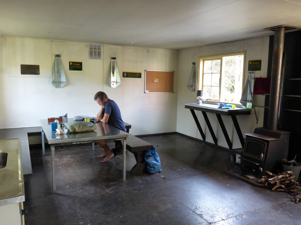
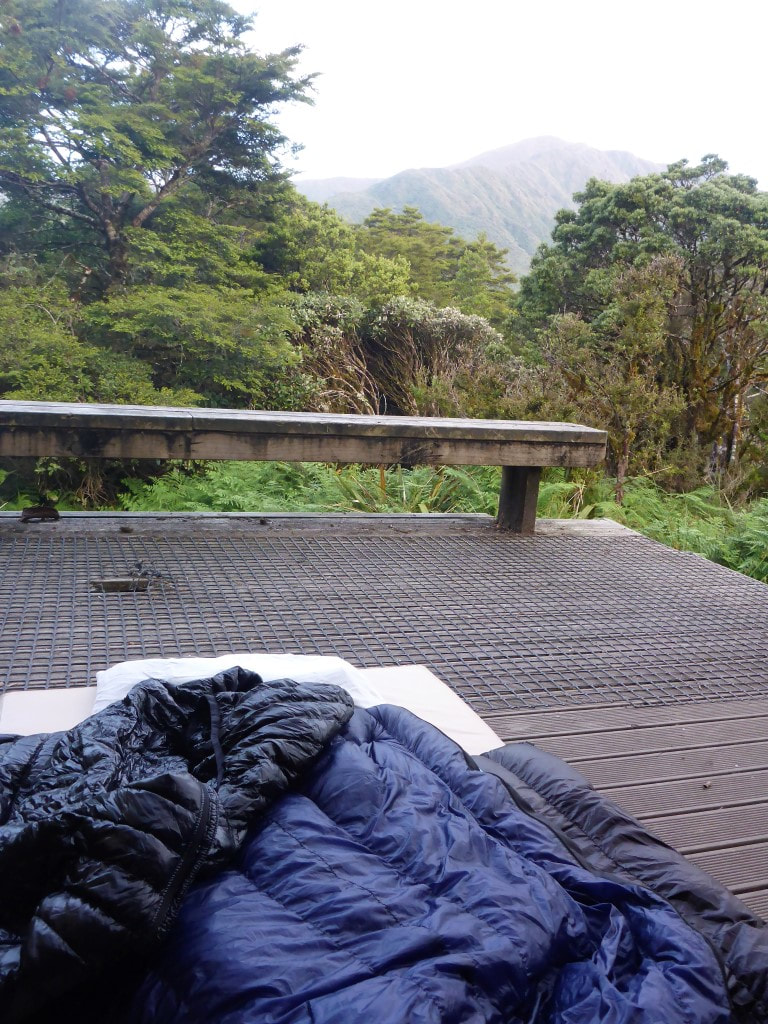
Arriving at the hut about 1600h meant we had time to clean up and relax a bit after a reasonably physical day. We cleaned ourselves off a little first - it had been a slightly muddy day - before I made a cuppa while B gave the hut a bit of a clean. The place was a bit of a tip with the floor not swept and benches covered in crumbs etc - a bit disappointing as it seems that only TA walkers have been in here in the last couple of days. It’s so easy to give the huts a quick tidy up before you leave and a bit sad that people can’t think of others - maybe they have mothers or partners to run round and clean up after them at home? B decided this was another opportunity to sleep outside as there was a nice covered deck outside the front door - and we were the only two occupants in an 18-bunk hut! I, on the other hand, kept to the creature comforts of the inside bunks! Despite the earlier low cloud, B did get to see a few stars :-) We had done most of our packing last night so had a relaxed rise in the motel, with plenty of cups of tea. We left the motel about 0845 to walk up to the family, where Sam was duly cooking bacon and eggs (and mushrooms for B!) which was a nice change from muesli for us :-) Had another nice catch up with the family before we headed off at around 1100 with Sam to go to Invercargill airport. Stopped in at the supermarket on the way to get a roll of cling-film (see below!).
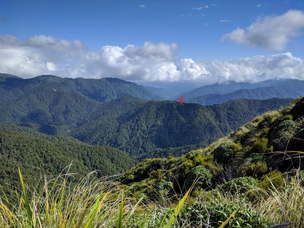
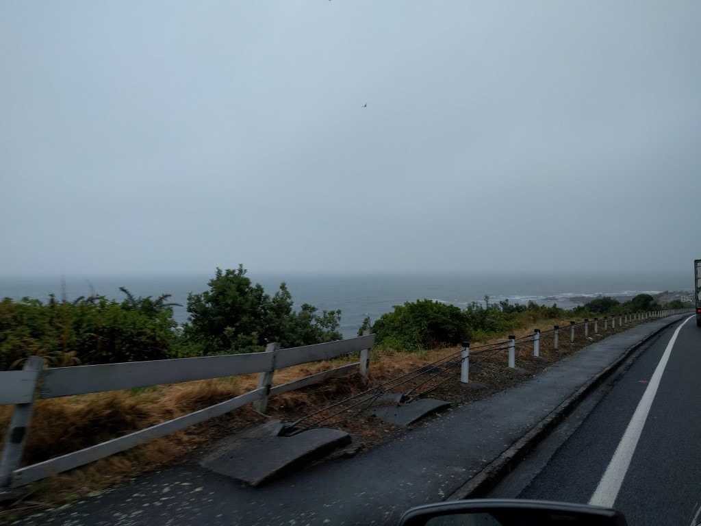
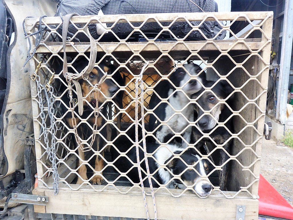
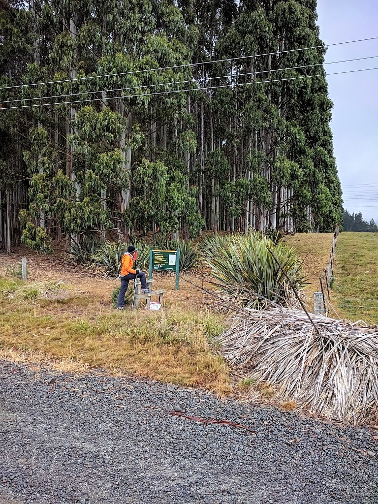
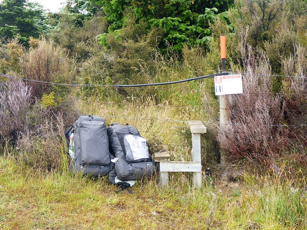
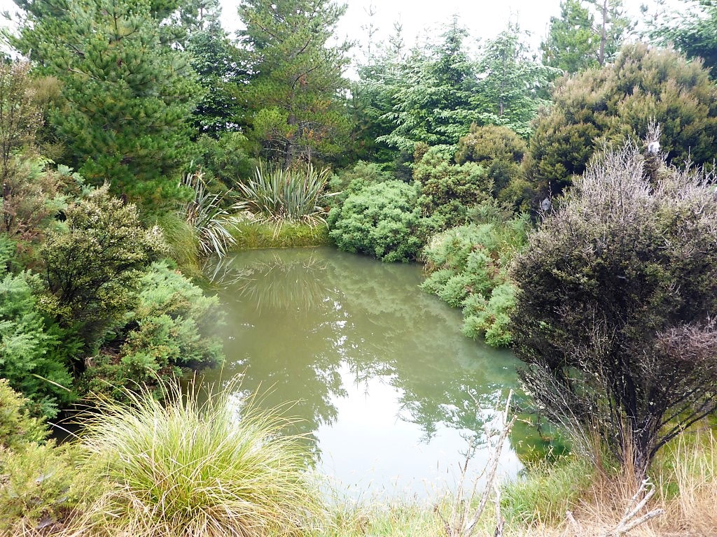
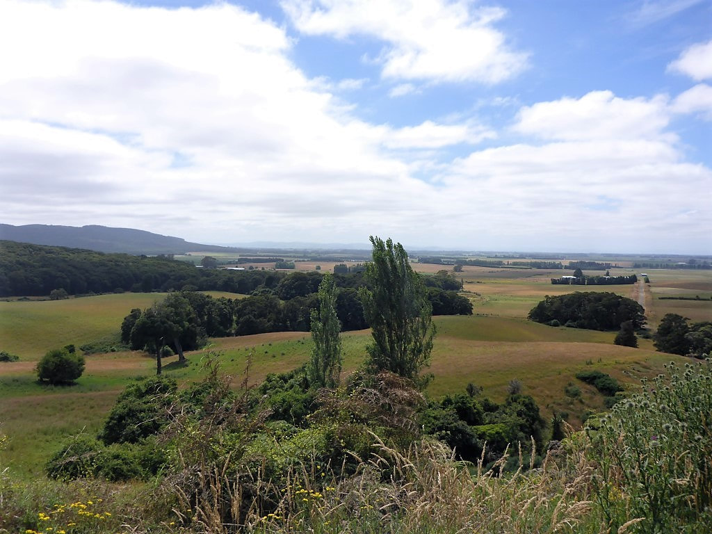
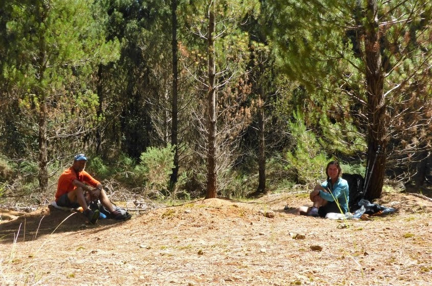
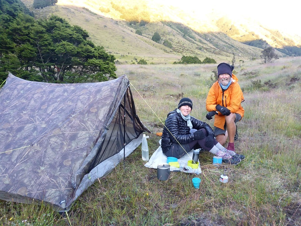
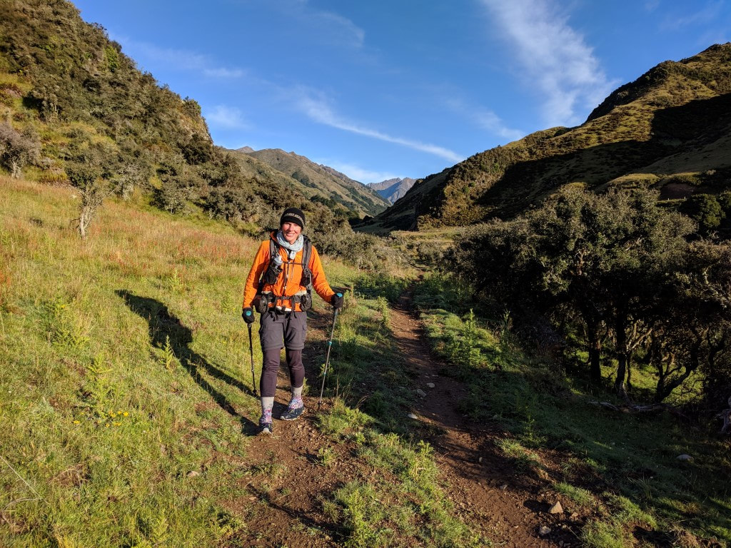
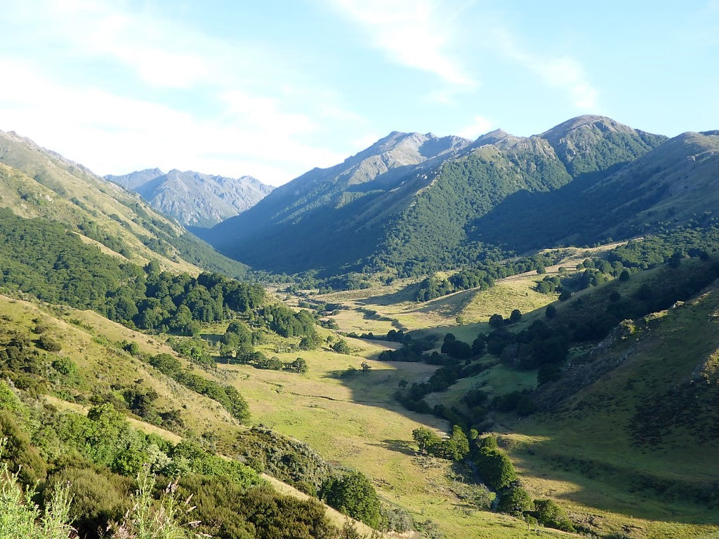
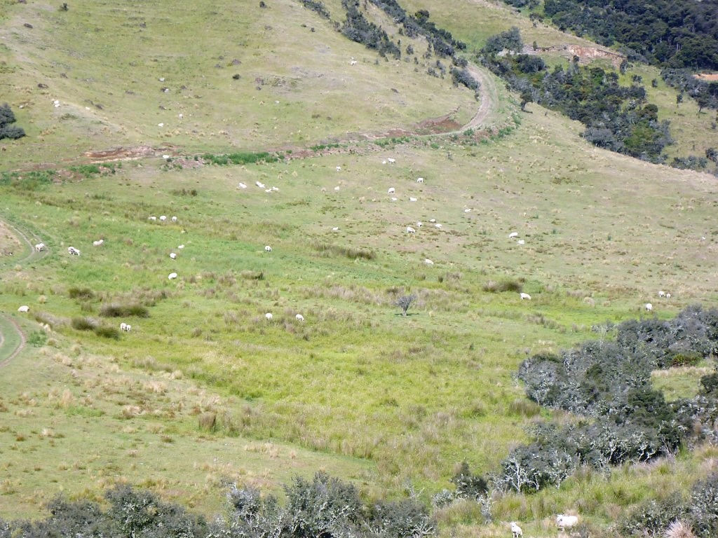
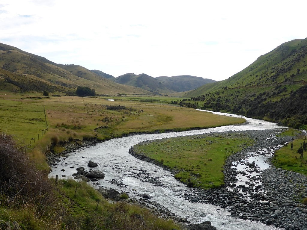
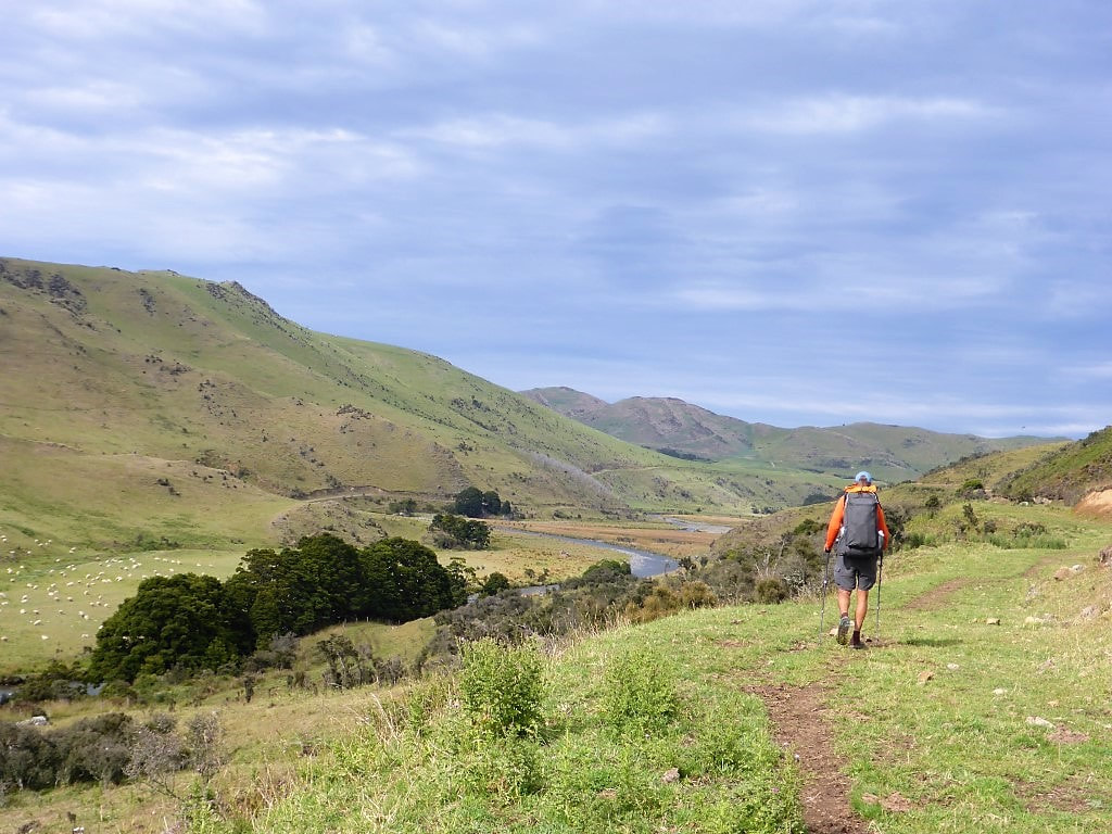
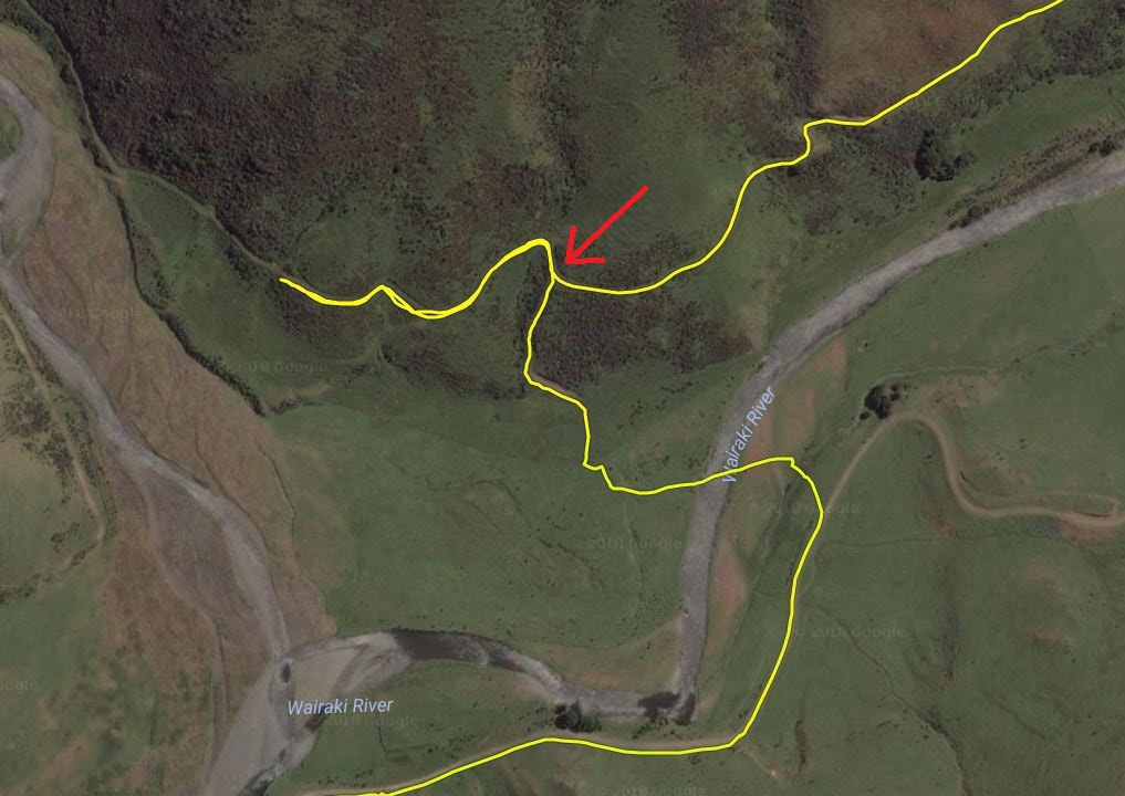
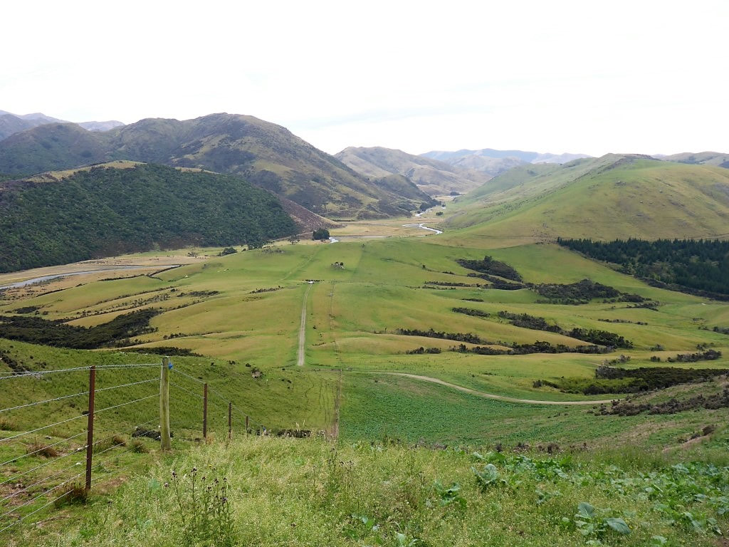
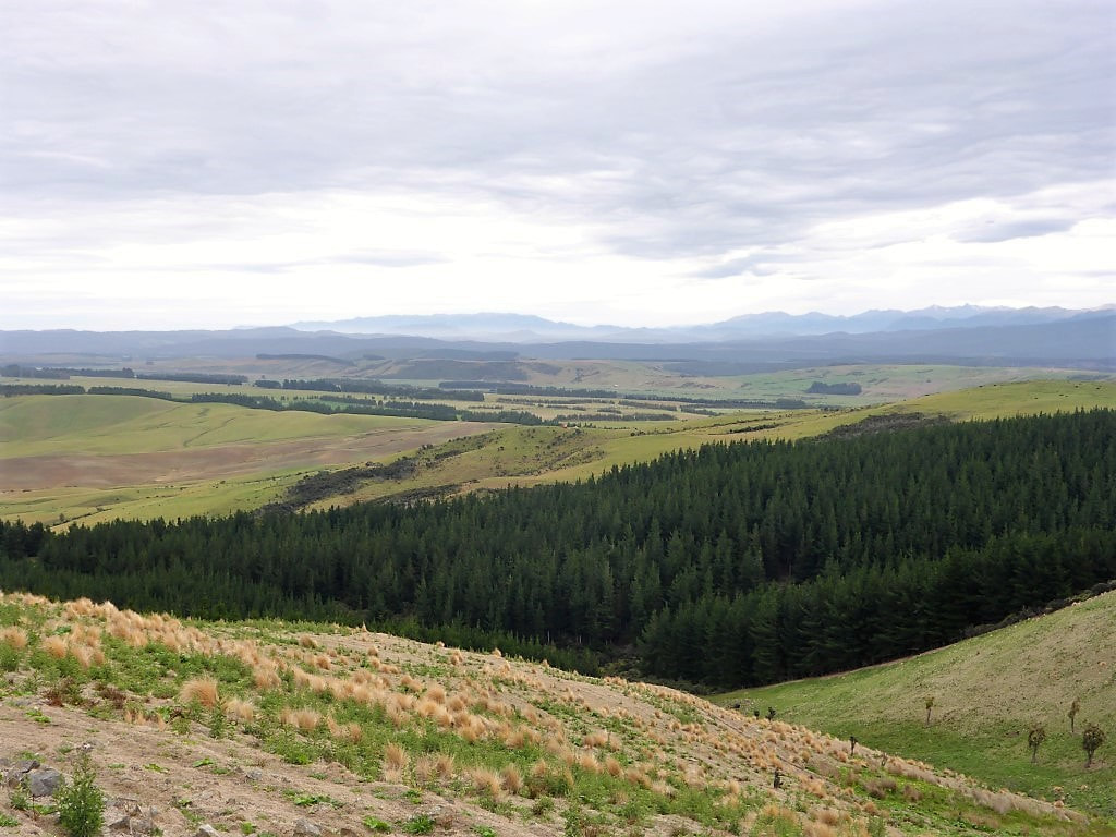
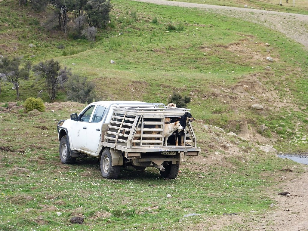
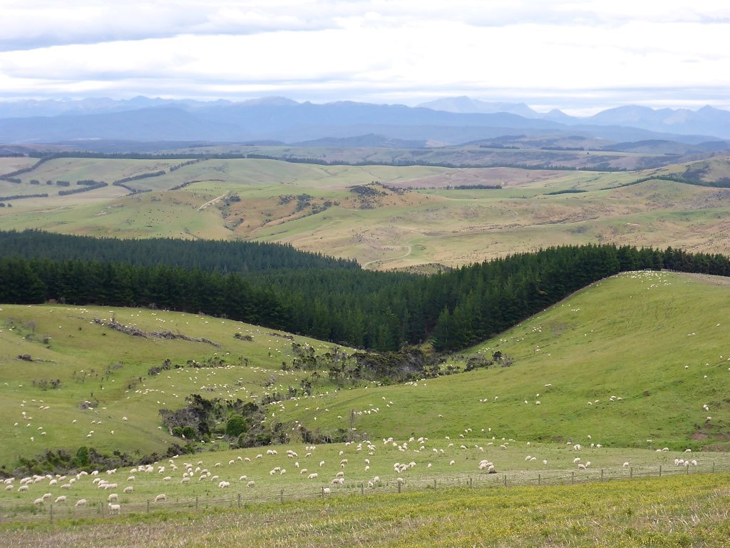
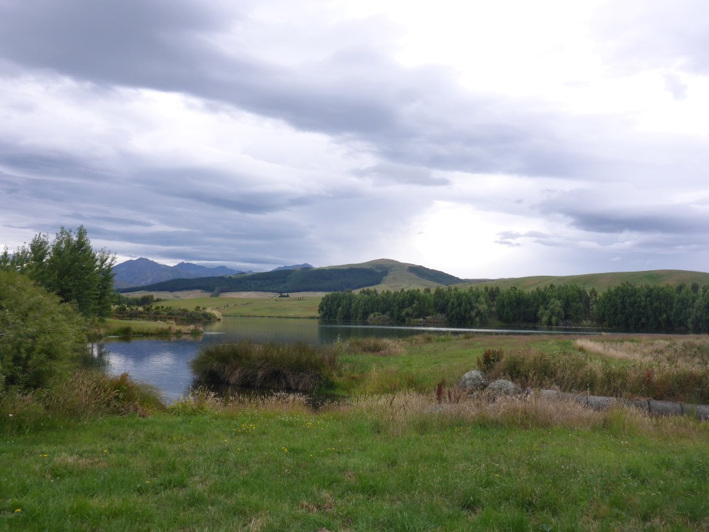
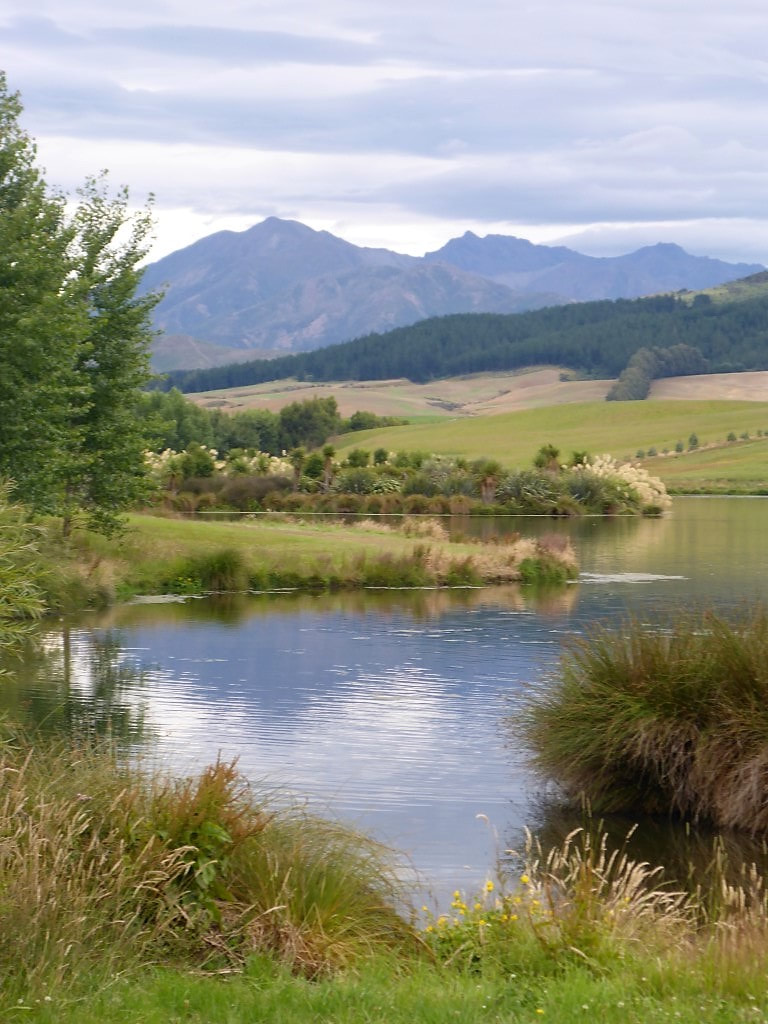
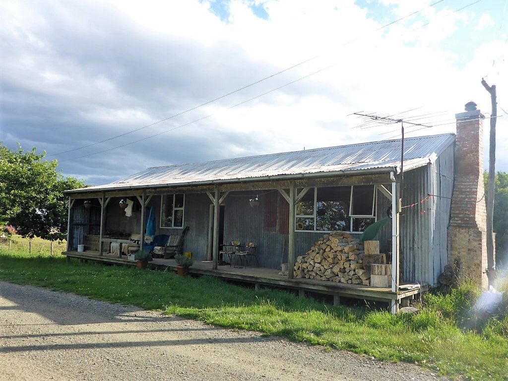
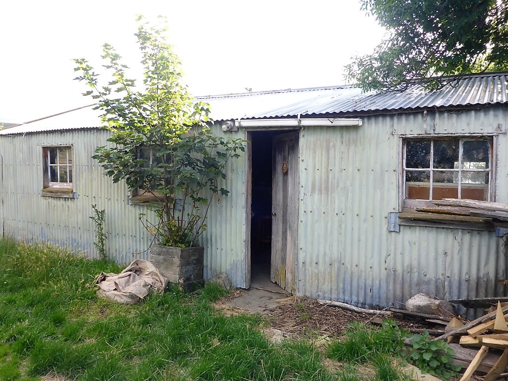
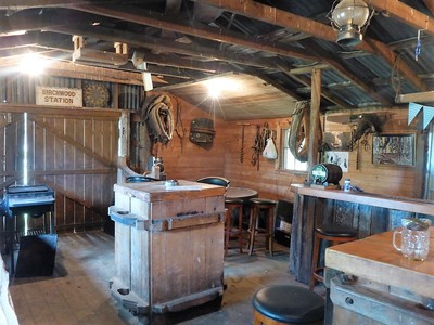
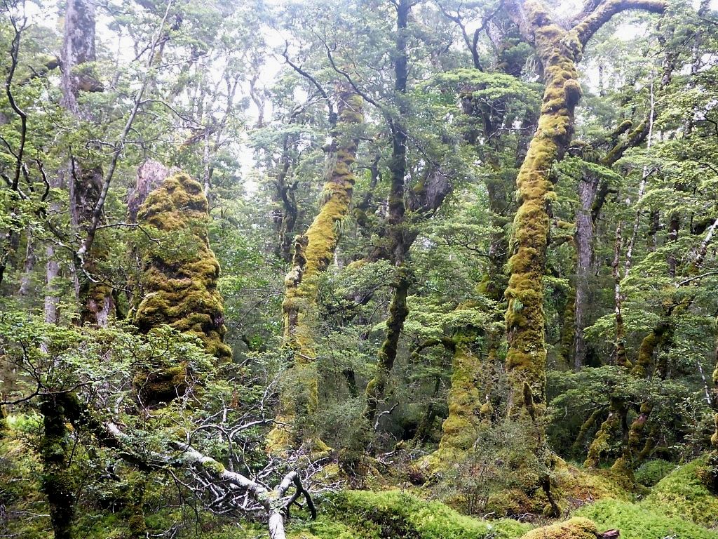
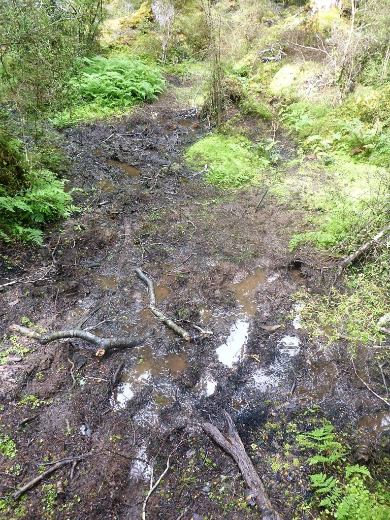
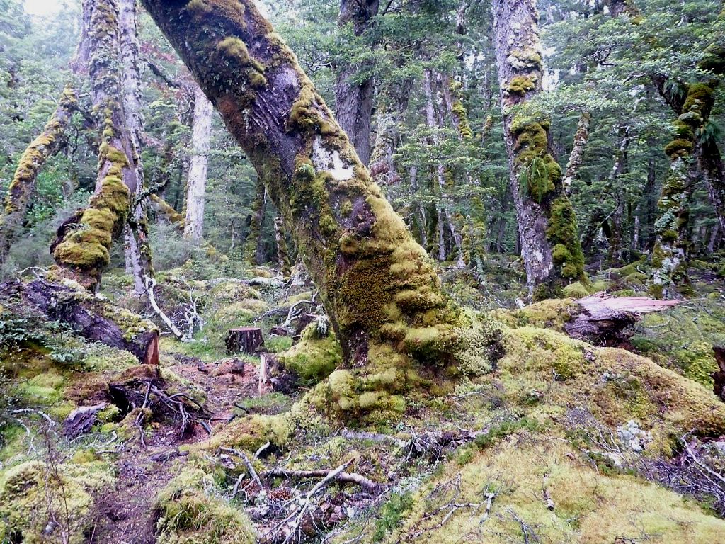
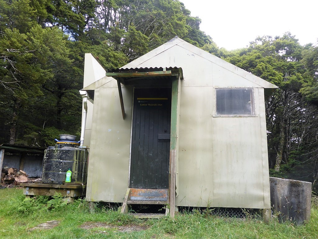
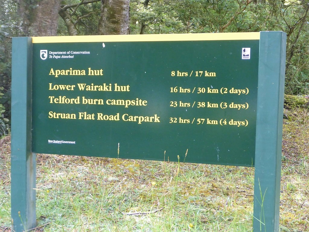
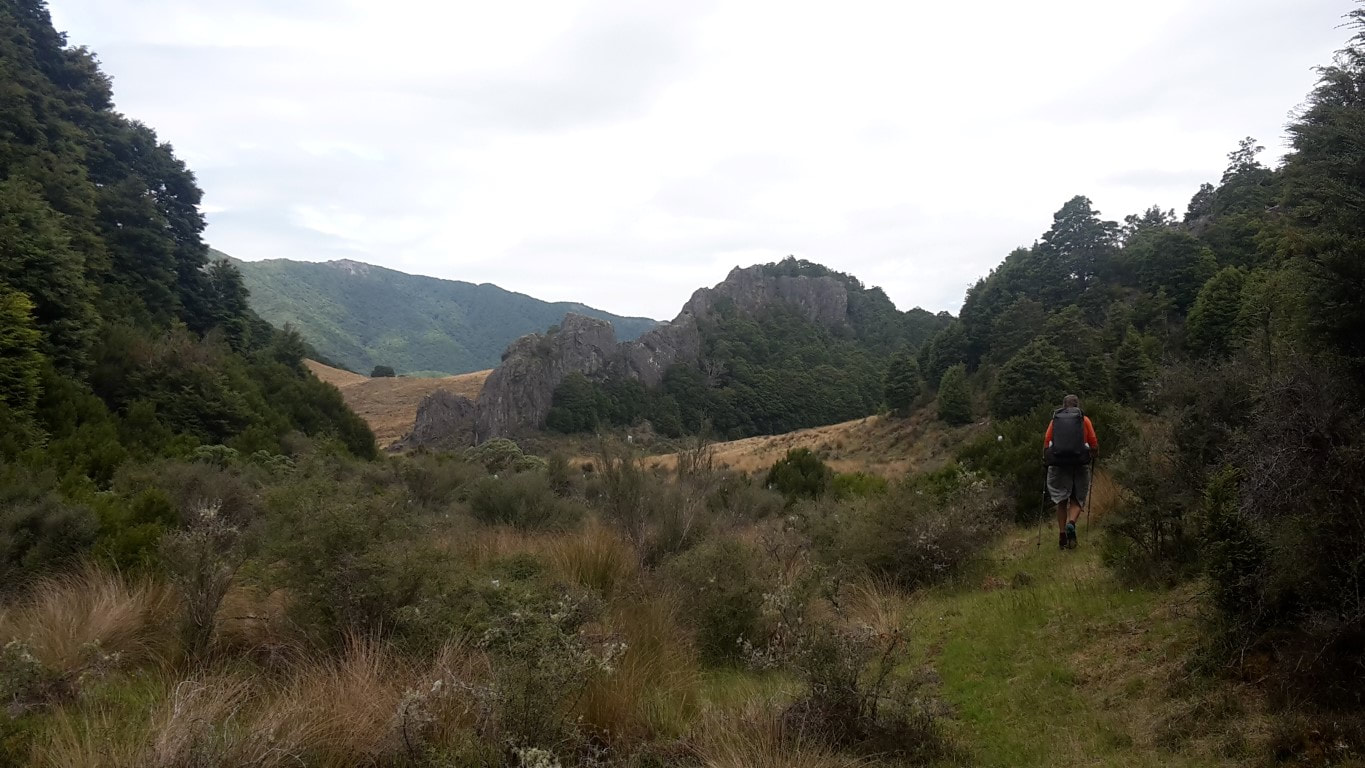
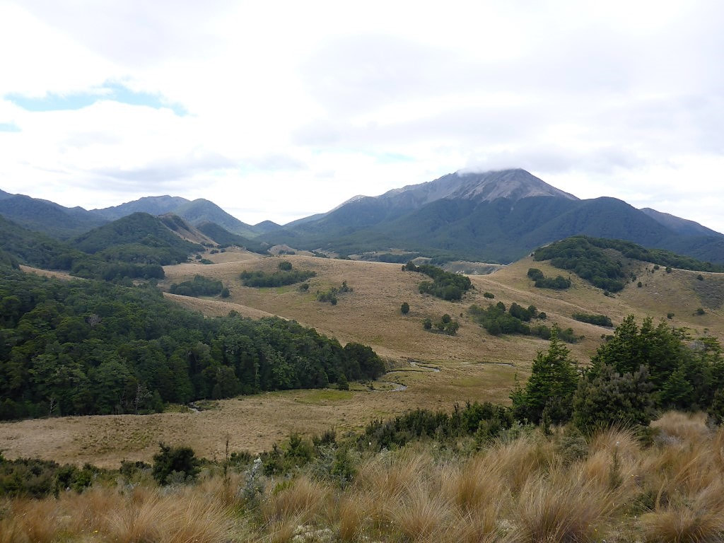
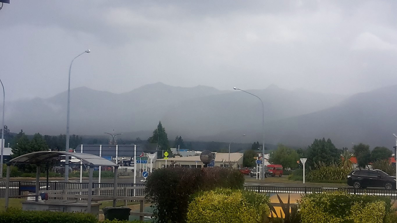
Our flight didn't go until 1330 so we had plenty of time to wrap our packs in the cling-film. We have discovered that this is an easy way to prepare the packs for travel - beats buying cheap stow-bags or getting them commercially wrapped (a service available at some larger airports like Chch). A few times around with the roll is enough to bind all the loose straps together, and is enough to last a short plane journey :-) We had time for a snack and a drink for lunch and gave the remaining cling-film to the ladies behind the counter to avoid it being wasted! The plane was on time so no travel issues today. Julia, B's sister, had again kindly come in to pick us up from Wellington so we were soon heading home, arriving about 1630. After all the relatively good weather we had had (and indeed it had been very hot and dry on the coast as well), we, of course, arrived home to a somewhat murky day. The only photo for today shows the "view" (or not) of where Kapiti Island usually is as you come down the Pukerua Bay hill!! Anyway - nice to be home after another 5 weeks and about 700km of tramping the hills of the South Island. Now its just a matter of waiting for the weather to play ball so we can tackle our last three day stint in the Tararuas. I will update again when that is finally completed :-) We again planned an early start today. I had been in contact with our nephew Sam who had kindly agreed to come from Gore again to pick us up at Merrivale Rd (as he did when we finished there nobo on 2 Jan 2017). We had tentatively set 1530 as the pickup time but said we might be in touch along the way, if we had reception, if it looked as though the timetable could change. We ended up doing 26km in around 6h20 - noting that I had a glitch and missed 1.7km over 25 minutes as we left the forestry block and started up the climb on Birchwood, only 45 minutes into the day. The data for the day is here. We we ready to go at 0645 and stepped out of the accommodation. Dean was at the workshop next door organising the start of the day with staff and, while chatting, offered to ferry our packs up to the top of the farm on the Twinlaw Forest boundary - as he was heading up there mustering lambs anyway! He offered to take us up as well, but we declined as usual :-) This was a great start to our last South Island day as the hardest bit of the day was this initial climb up through Birchwood Station to the Twinlaw Forest - much nicer without packs! We set off down the farm track to join Birchwood-Wairio Rd for about 1.5 km before re-entering Birchwood Station by a eucalyptus plantation. We tracked straight along this, and then a pine plantation, for a kilometre before heading up through hilly pasture towards the top, and the boundary into Twinlaw Forest (it was this point, departing the pine forest, where I left the Suunto paused for 25min!) . We reached the top after 6.9km and 1h50, having climbed to a point 420m above the starting point at the station - definitely faster without packs! Sure enough, the packs were waiting for us, propped up against the fence by the stile - Belinda sent a text to Dean to thank him again and we were off into Twinlaw. Twinlaw was very easy walking on forestry tracks - even good enough that we had a chat with our daughter in London as we were walking along :-) We didn’t really have to concentrate much on where we were putting our feet as the going was so good. We had already decided we were well ahead of our initial targets for Merrivale Rd so had texted Sam to readjust to 1430 pickup, which was OK with him. Twinlaw morphed into Woodlaw Forest, which was about 5 km of native forest so not quite as easy underfoot as Twinlaw, but still not a difficult walk We descended about 400m to come out of the forest (having got back into a little bit of exotic forestry near the end) onto farmland. A brief stint on a gravelled 4wd track saw us at Scotts Gap-Feldwick Rd, whereupon it was then gravel roads for about 3.6km until we entered Island Bush at the top of Hewitt Rd. This was about a 3 km stretch that involved a gentle climb, ascending about 130m to the top before descending, eventually out onto Otautau-Tuatapere Rd. We stopped for lunch in a more open glade amongst the trees just before leaving the 4wd track to start the descent. Then it was a short 2.5km stroll down the asphalt road to the junction with Merrivale Rd, which represents the completion of the South Island portion of TA for us!! Maybe a slight anticlimax finishing where we did (and also considering that we only have 48km of the Tararuas to walk in order to complete the WHOLE TA) but still a major achievement for a couple of “oldies”. So we were happy :-) We arrived at Merrivale Rd junction about 1415 and about 5 minutes later Sam turned up to pick us up - so fantastic timing :-) We set off for the almost 1.5 hour journey to Gore, stopping at Winton for food and drinks for all of us to top up the reserves!! Sam dropped us at our motel (Esplanade Motels) where we have enjoyed staying before - nice establishment with very helpful hosts, and not too far from Sam’s place so we can walk to visit the family. Had kebabs for dinner with the family tonight before heading back to the motel for a good night’s sleep. The promise of Sam cooking us bacon and eggs in the morning, before taking us down to Invercargill airport, awaits :-) We managed to get underway at 0720 this morning and 30km and 7h30 of walking later we rocked into the old shearers quarters at Birchwood Station around 1600! The day’s GPS track is here. I mentioned last night that we headed to bed early to warm up - well, this morning we got up to a thin layer of icy frost on the tent!! It had been blimmin’ cold during the night and this discovery confirmed things. The Suunto had it at 3 degC inside the tent at 0600 but obviously a bit chillier outside!! A good morning for a hot cuppa as well as a bit of warm water in the muesli!! Typical kiwi summer??!! We were first away, with Javed, headed through Mt Linton Station to Birchwood Station - the Invercargill duo were being picked up by a friend at Struan Flat Rd and Javed had thought he could get a ride with them, as they were being taken around the next section and straight to Merrivale Rd (where we expect to finish tomorrow evening). The day took us through Mt Linton Station. It is very generous of the private owners to make the land available - however, the day was not one we really enjoyed all that much as there was nothing really exciting to see, and a few small annoyances - perhaps we were just having a bad day :-) Despite the notes claiming that the track is well-marked, we found several occasions where it wasn’t entirely obvious (maybe we should have been paying more attention!) and in several instances there was definite disagreement between the TA .gpx file and the marked route. At around the 9.3km mark there is a sharp left off the main track to take you down to cross the Wairaki River - we missed the next marker pole which was down the smaller track a little way, and walked over 250m down the larger track before “spidey sense” suggested we might not be on-trail! So a 500m+ total off-trail excursion! As we crossed the Wairaki River we did run into one of the Mt Linton farmhands, with one from a neighbouring station, out with their kids on a Sunday morning for a fish and a swim in the river - a good chance to stop and chat! Apart from that, there was not much else other than walking today. At around 17km on our GPS data we followed the TA GPS track ( a farm track) as we couldn’t see any poles. Heading around the top of a plantation at about 17.8km we discovered a stile and marker that meant we had missed a poled route up the face! As we were doing this little detour, we came across a shepherd trying to muster in a lone calf with his dogs. The dogs were fantastic but it is always a challenge dealing with a lone calf - it was not being cooperative!! We tried to keep out the way and then later tried to block an escape path (at the request of the shepherd) but the calf basically ran B over on the way through - so we headed on, being of no more use!! We met a young couple going nobo and they also had missed the stile at the top coming the other way, so followed our (TA GPS) route here rather than the poled route as well. Soon after, as we were skirting the eastern end of this plantation (22.6km on our Suunto GPS track), I was very lucky to spot another pole down to the right off the farm track we were following at the time. This took us down a line of young gum trees that could have easily been missed. In fact we later found that Javed had missed this entirely and got off-trail. He had tried to go back and find where he had gone wrong but ran into a local farmer who told him to take the old route to get out onto Struan Flat Rd instead!! So we weren’t the only ones with navigational issues on the new route through Mt Linton!! Then it was following fencelines around/across paddocks - some empty, some with sheep in, some with crops planted. Nearing the end, we crossed over a main farm track, following a path that took us through a lake / wetland area that had lots of well-established plantings around it, which was nice for a bit of variety! Arriving at Struan Flat Rd, we found Javed waiting there. We hadn’t seen the Invercargill duo so assumed they would be not far behind to pick him up. We didn’t see Javed at Birchwood Station later (which was his alternative if the ride fell through) so the pick up and transfer to Merrivale Rd must have gone OK :-) Belinda and I headed off to Birchwood (about 1.2km off-trail) and settled into the hut (old shearers quarters) along with a German nobo who had arrived before us. Sarah arrived soon after to check up on us and see we had everything, so we had a lovely chat with her about the farm. Sarah offered to cook us dinner but we had already got ourselves sorted so we declined :-( It was great to have a nice hot shower and a (squeaky) bunk bed to lie in. We had hung our food bags up in case of rodents before bed but during the night could hear definite chewing activity that had all three of us up. Couldn’t find it initially but eventually, after it started again, Belinda found the source. An old plastic oil bottle had been dragged to the fireplace and a rodent had been chewing through the top to get at the remnant oil. B put it in the sink (the oil bottle, that is!) which seemed to fix the issue :-) - allowing for a bit more sleep. Got away about 0710 this morning after a 0600 rise. The day’s journey took us 21.7km in almost 7.5 hours walking time. The GPS data is here. I looked out at 0615 and noted that the sky looked clear - great - then about 15 minutes later it started to rain - not so great! We couldn't see to the south because of trees behind the hut and that was where the weather had sneaked up from. So we started with wet weather gear and had showers on and off until after lunch when it started to clear a bit. Today was mostly about walking in beech forest on tramping standard tracks - i.e. unformed, with lots of roots and quite a bit of up and down. It was also wet due to the rain and very muddy in spots so you had to be careful as it was definitely slippery. The first part to Lower Wairaki Hut was a bit confusing in terms of expected times and distances - there was a mismatch between DoC and the TA notes, although both suggested 6 hours! Anyway, it ended up being 13.6km (closer to the TA distance but not the 16km on the DoC sign!) and we made it in 4h15. We ran into an American couple from Oregon, not long before the hut, who were heading nobo. The woman was a bit cold as some kind soul had told her that NZ was warm at this time of the year so she had sent some of her stuff home (they had been hiking in Mongolia) - who needs friends with advice like that?!! Javed had overtaken us earlier so was at Lower Wairaki hut as well, having lunch. After having a good lunch break in the relative warmth of the hut (it was wet with a very cold southerly wind) we set off for a 500m climb, over about 4km, up through beech forest. This next section through to Telford Burn camp was supposed to be 9km/6hr (DoC) or 8km/4hr (TA). According to the Suunto it was 8km and we did it in 3h15, so I think TA notes win that round! The going up from the hut through the forest was not too bad - certainly better than some other 500m climbs we have done! Climbing up from 500m to 750m was reasonably steady; from 750m to 900m it got a little steeper; and the final climb to just over 1000m was steeper still. We reached an initial peak of about 1000m and then rolled along at about that height for a short while. Along this bit we met a kiwi couple heading nobo to Wanaka, as well as their daughter who had joined them for this section. Emerging from the bush soon after that initial peak (after 18km and 6 hours of walking time) we got a spectacular view of Southland and the coastline, albeit a bit hazy in the distance, looking out over a very rocky ridge! We had certainly not been expecting that! The photos hopefully give an idea of the view - would be even more impressive on a finer day. It was still a bitterly cold southerly so we rugged up for the descent to Telford Burn, all pretty much in the open through some pretty rough farmland (after we got off the rocks). It wasn't too bad going but was around 4km of downhill so we took it slowly for the sake of our ancient joints (especially the knees)!! Bits of the descent were through fern-like plants that hid rocks and uneven ground underneath, so extra caution was required on those bits. Javed had set up on the upper level of the camp but we decided to drop down to a lower level closer to the stream to try and get out of the wind. Around 1900 the other two arrived as well and set up with us on the lower level. The sun was more or less trying to shine, but it was still cold so we had a feed and hot drink early and were in the sleeping bags by 1930 to get warm!
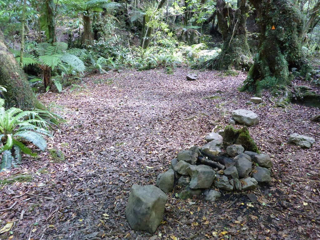
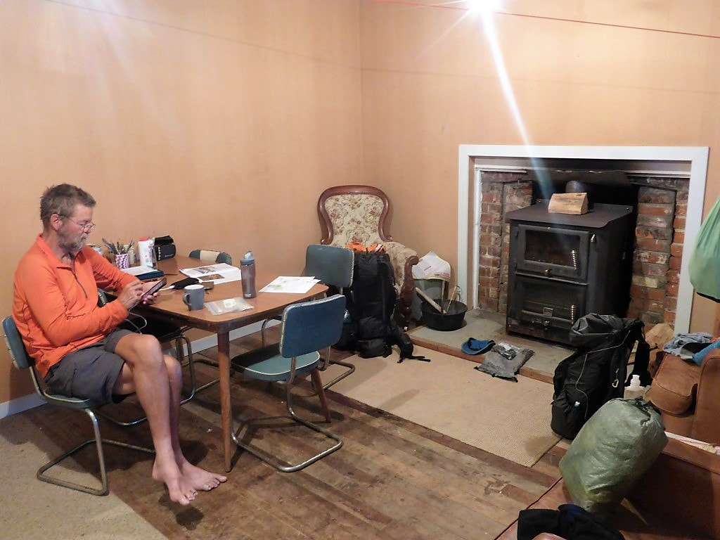
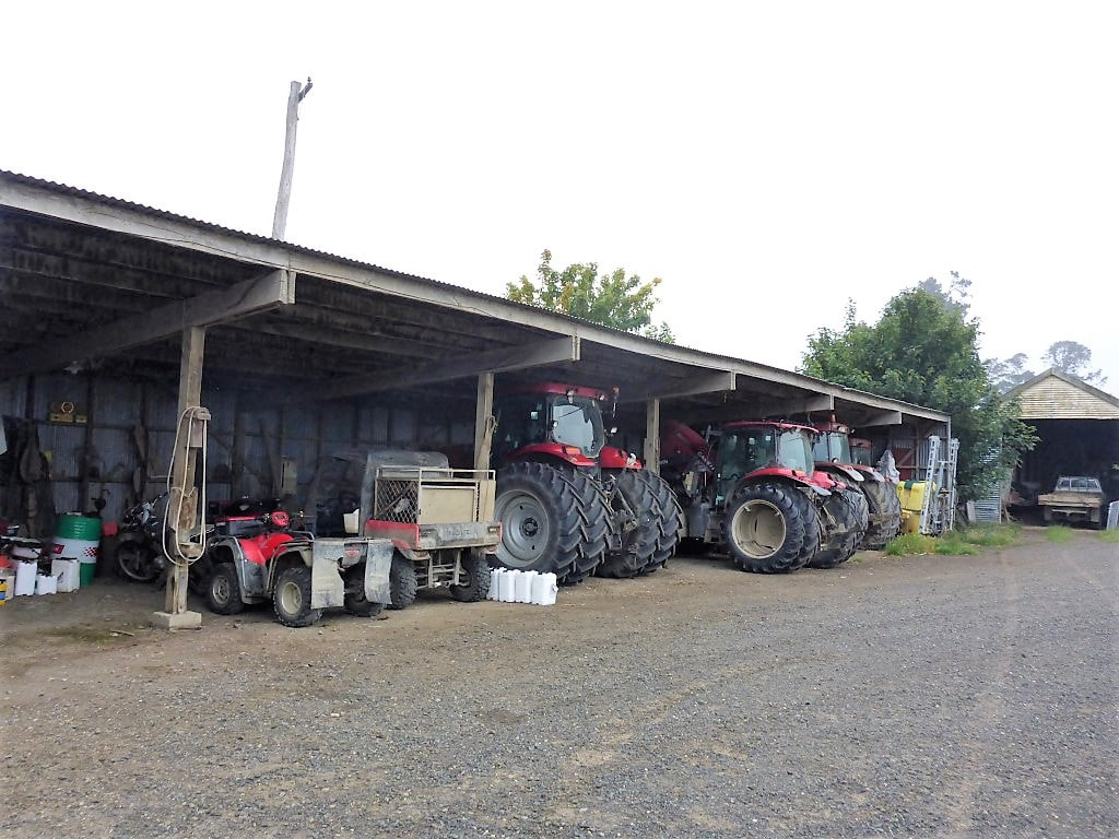
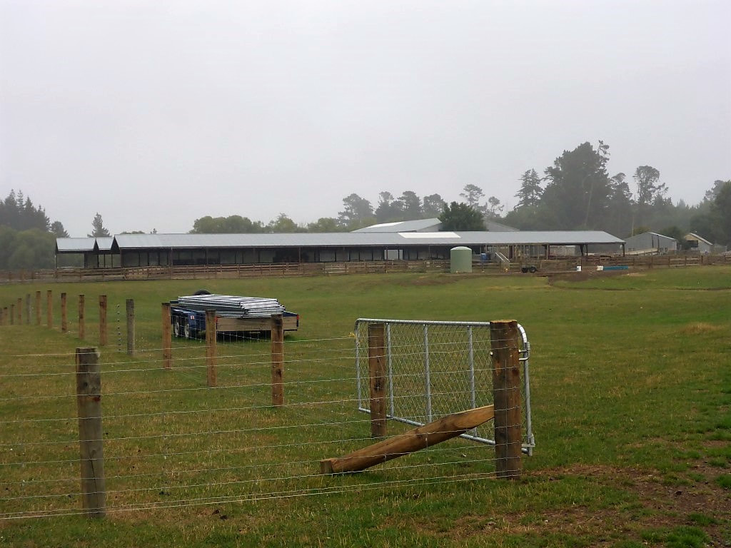
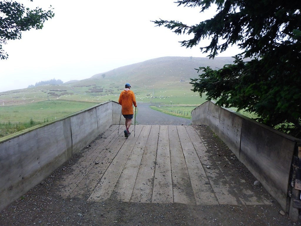
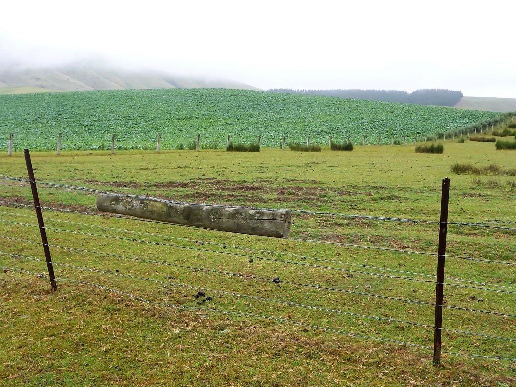
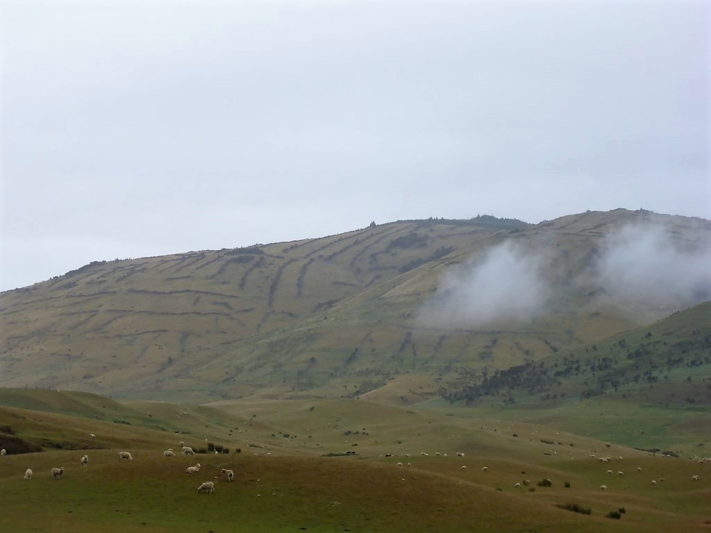
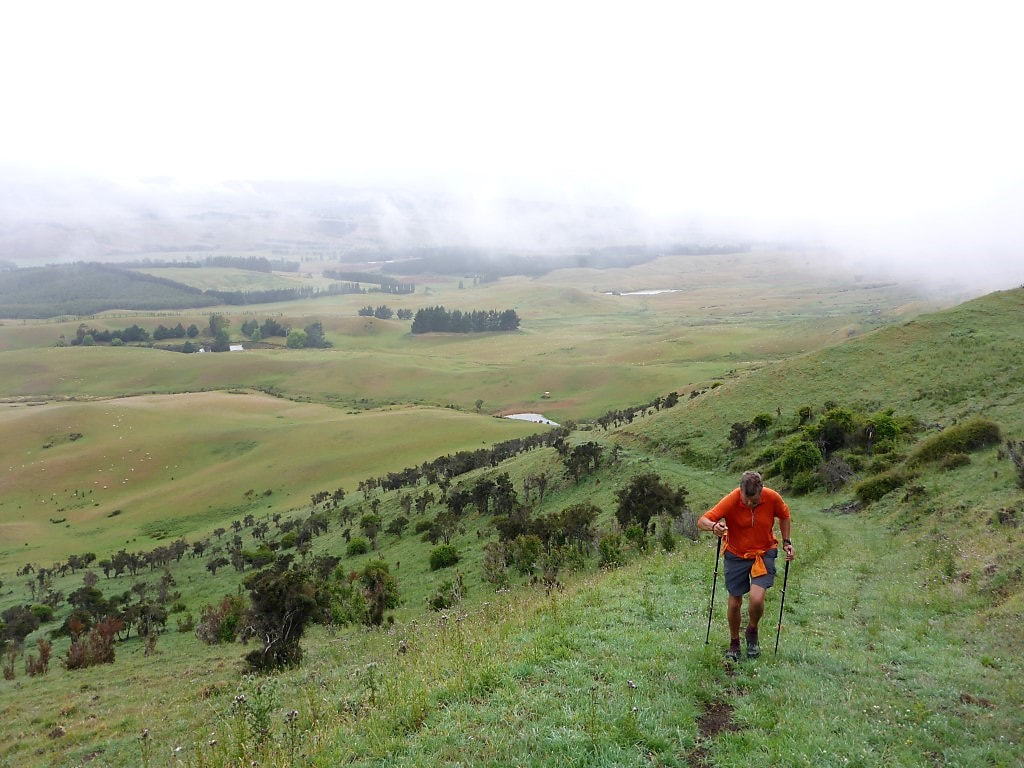
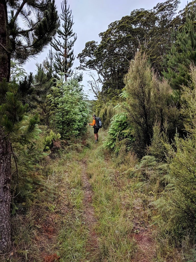
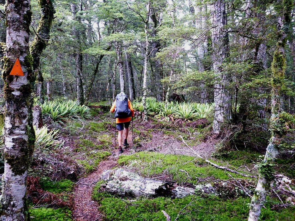
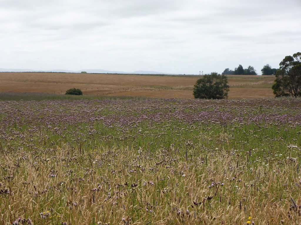
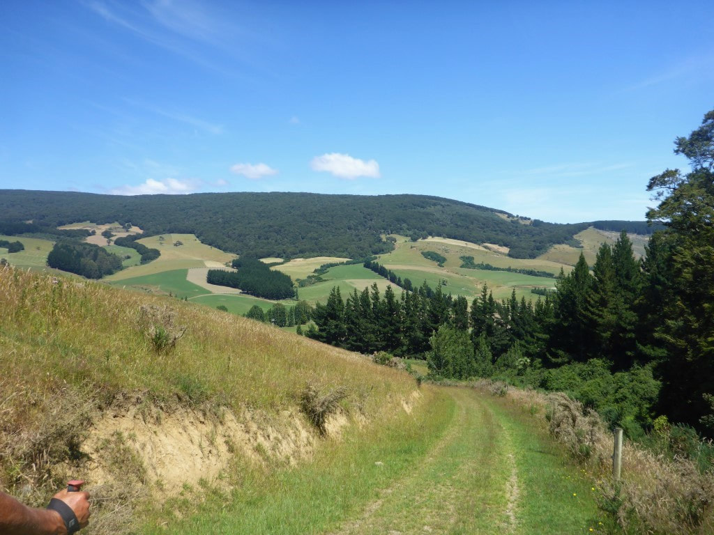
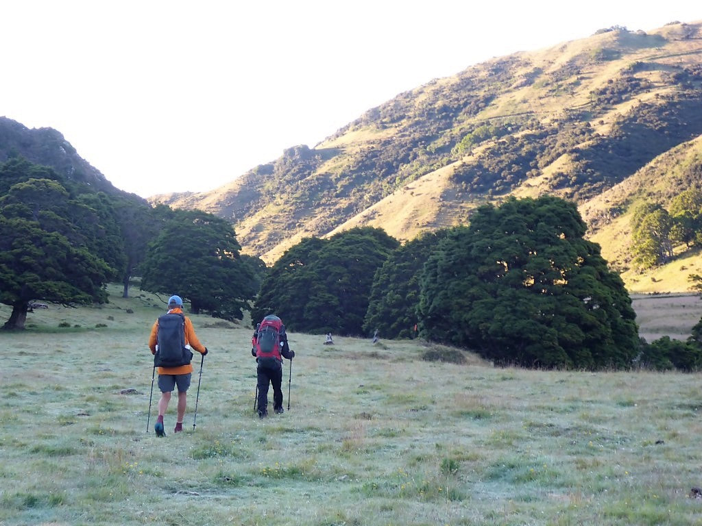
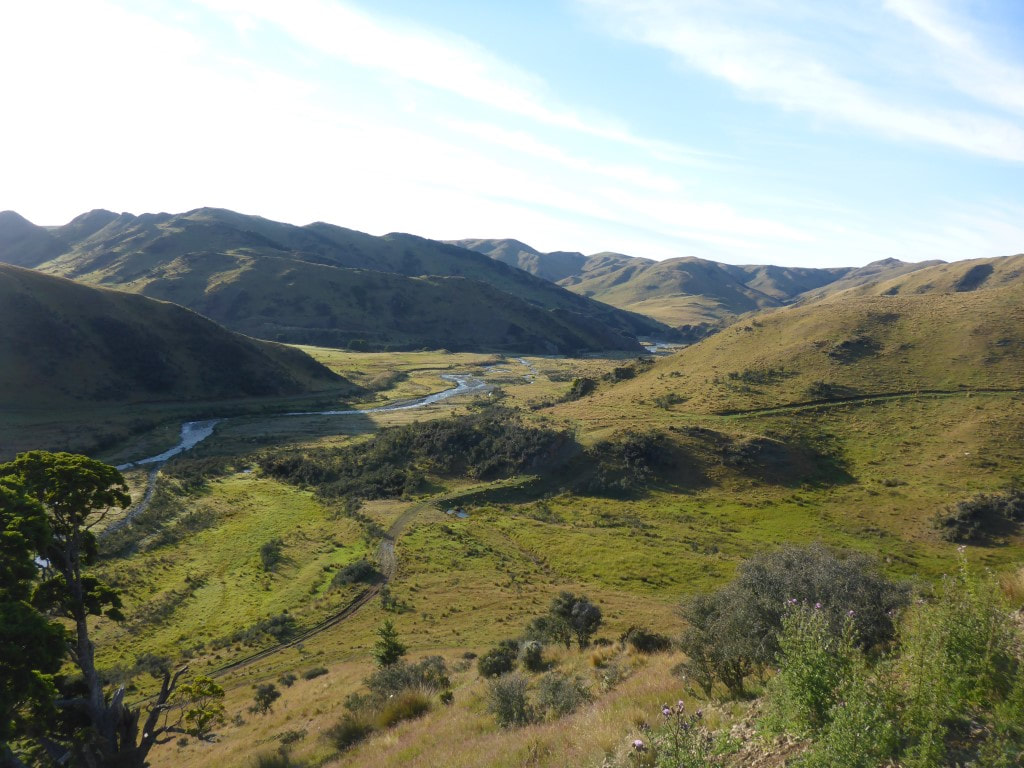
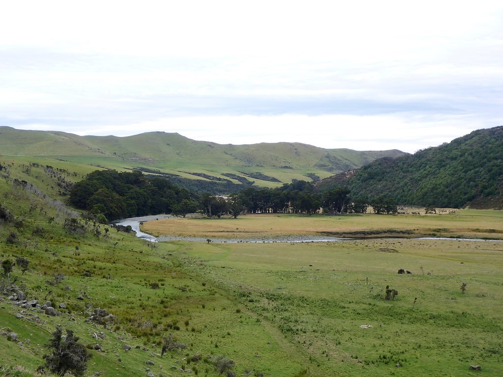
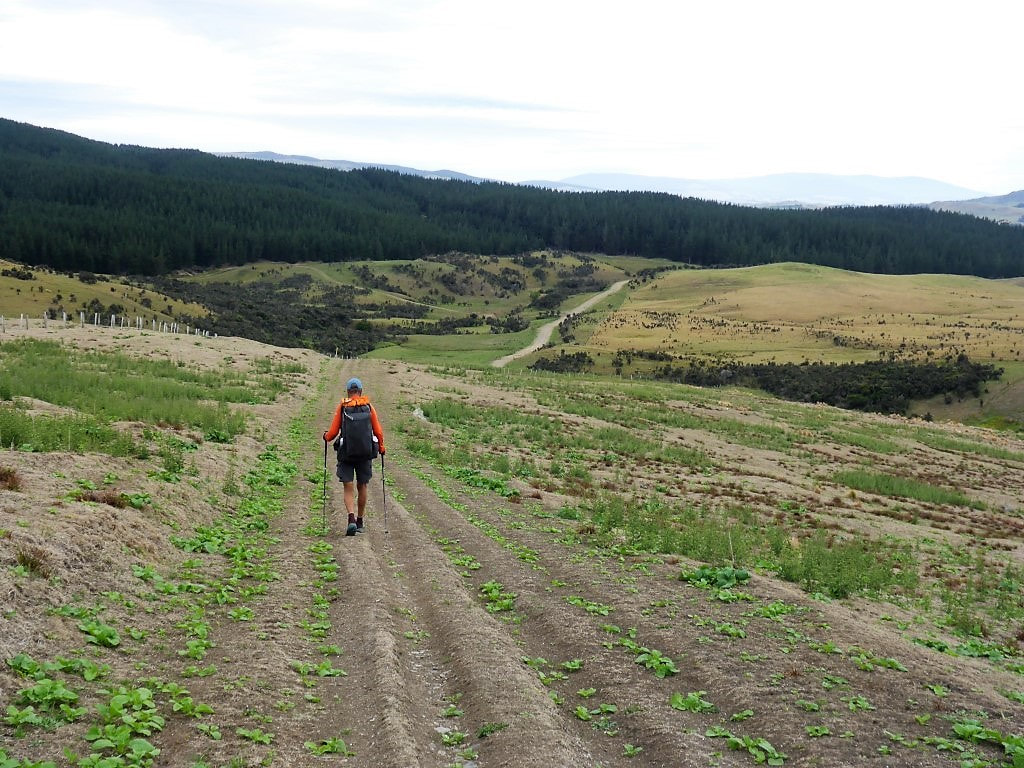
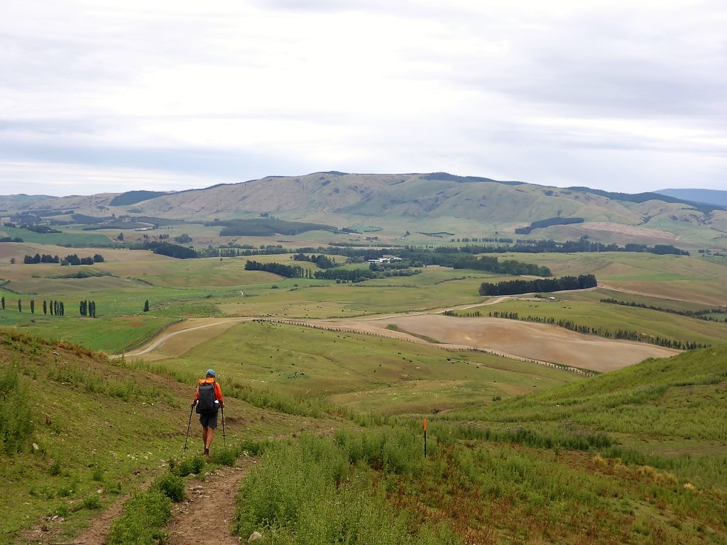
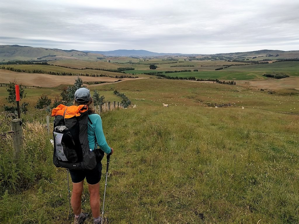
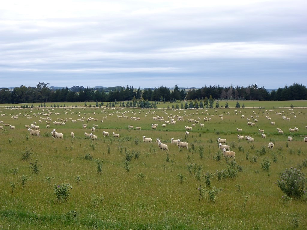
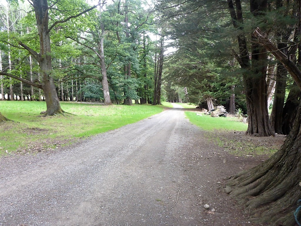
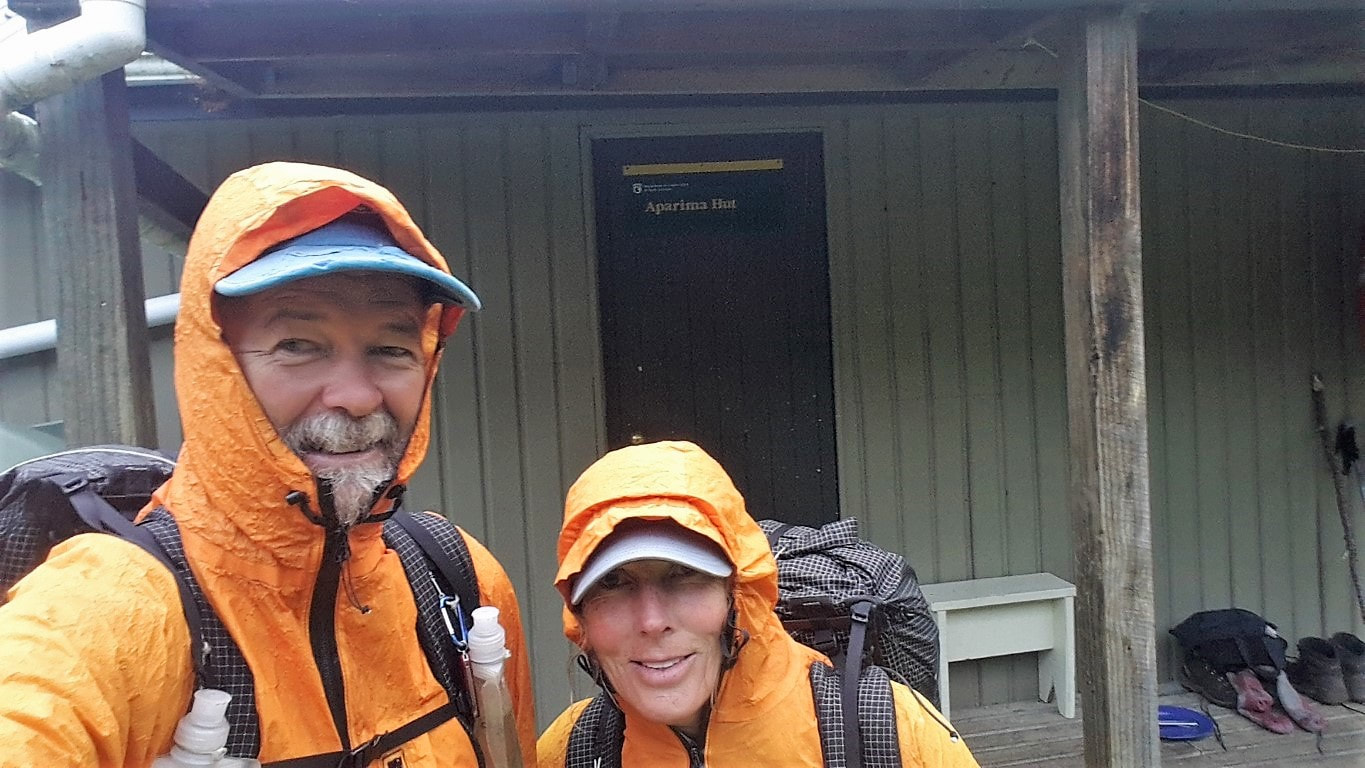
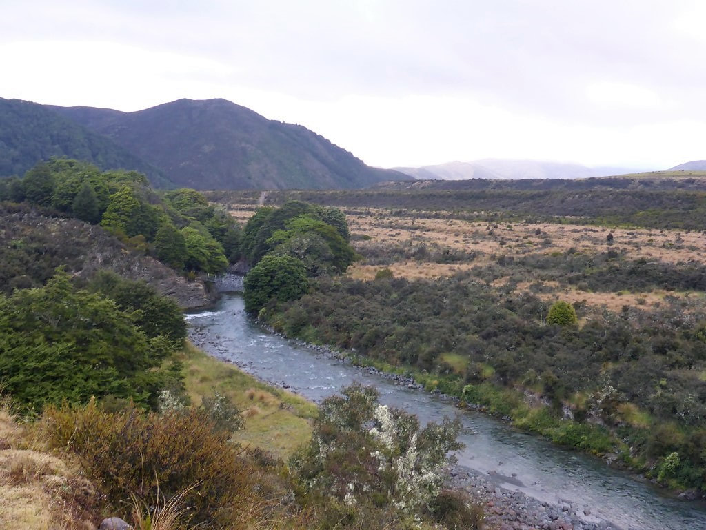
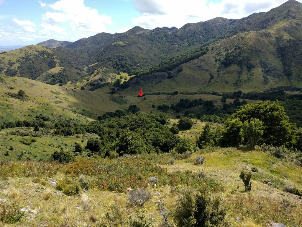
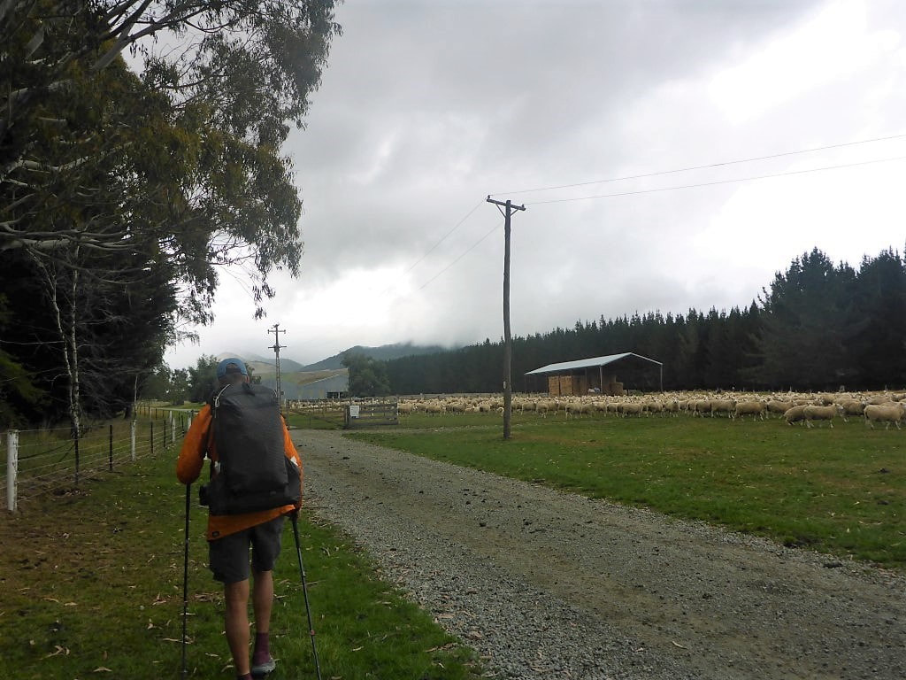
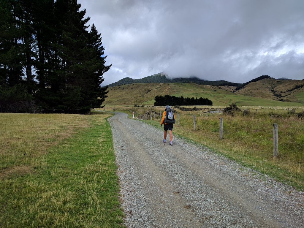
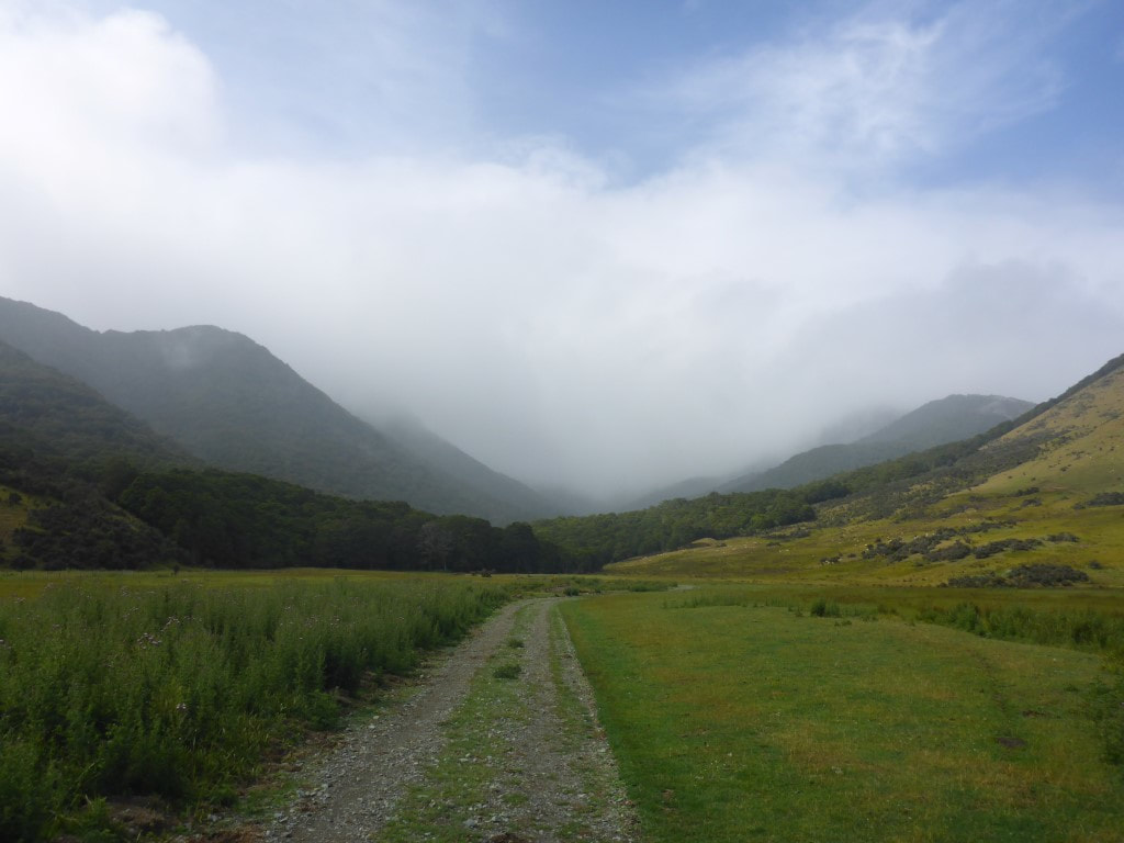
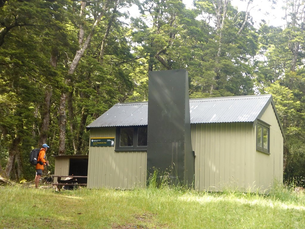
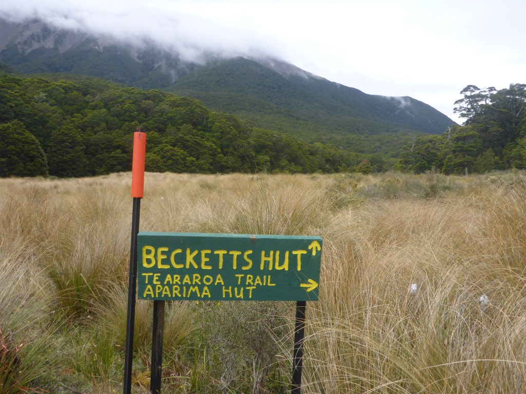
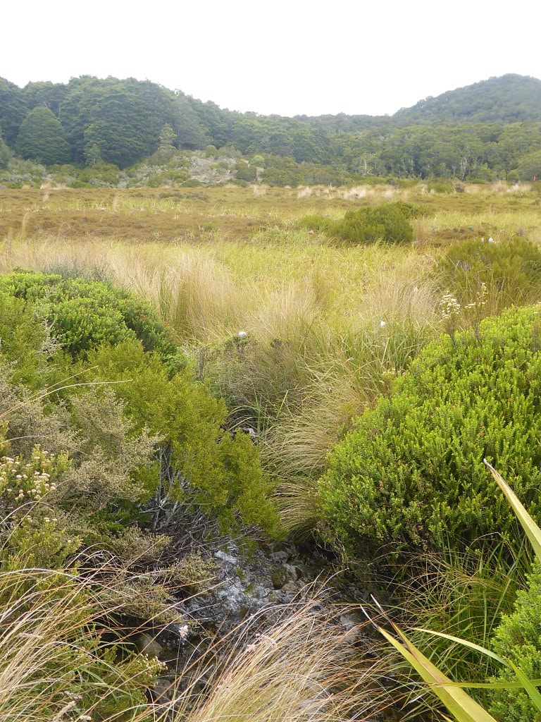
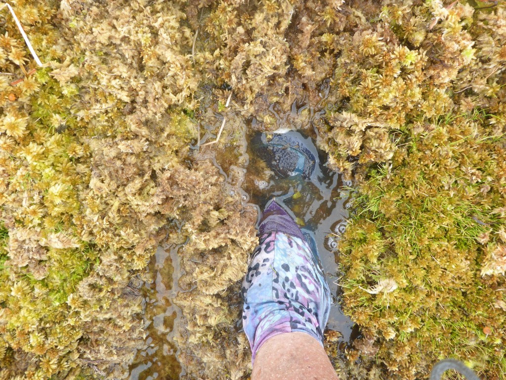
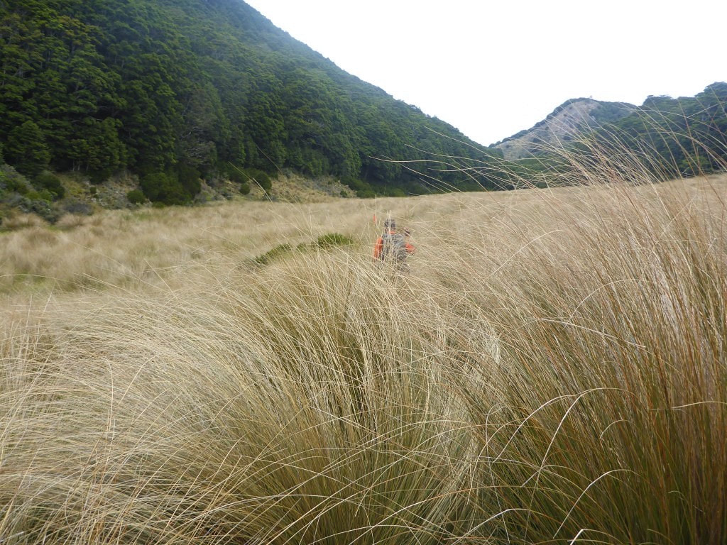
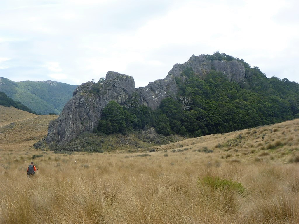
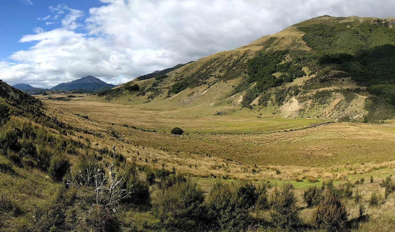
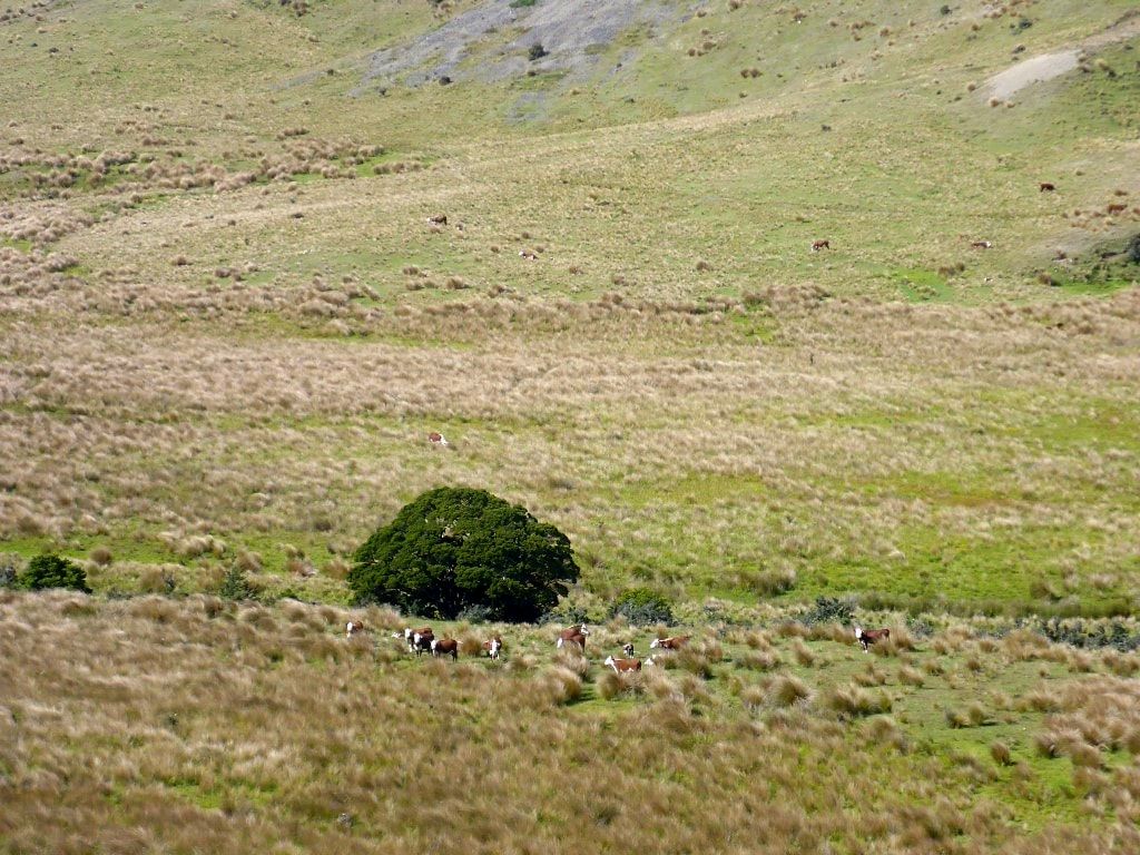
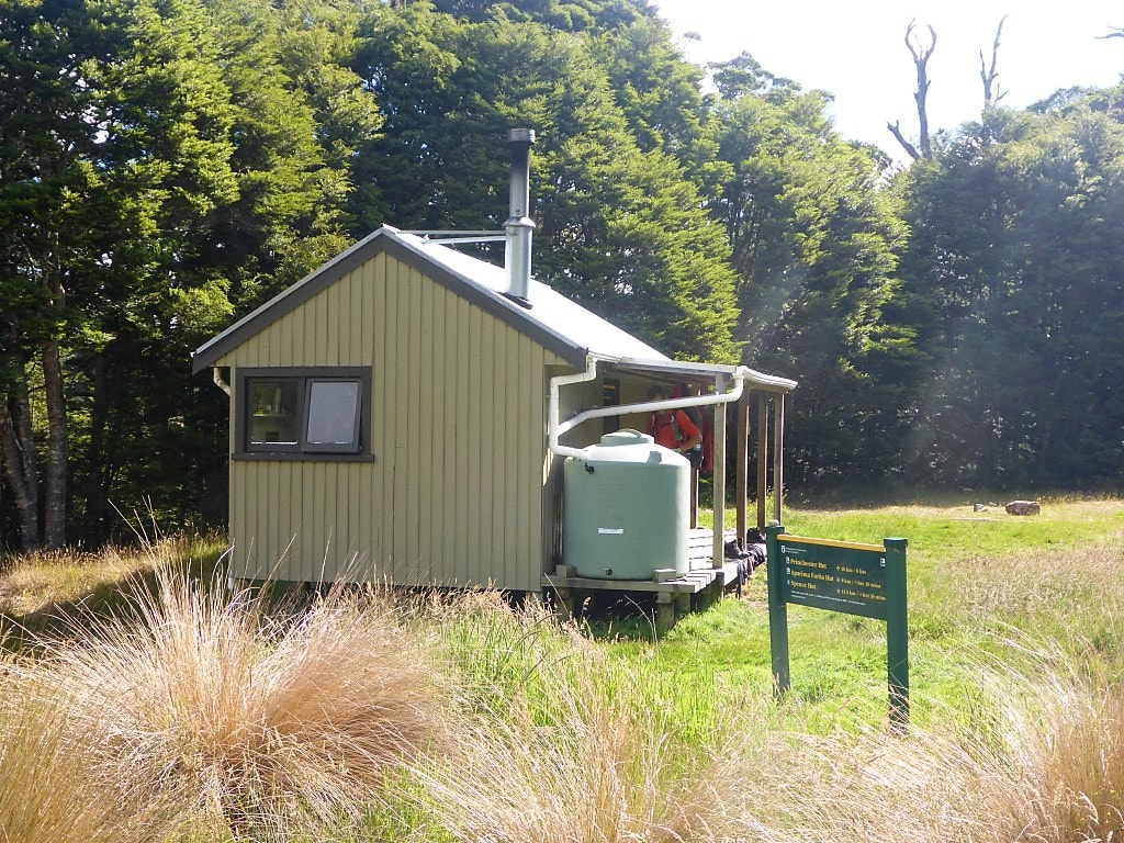
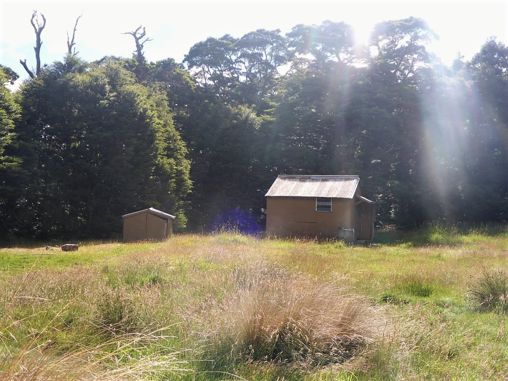
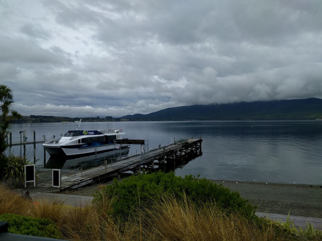
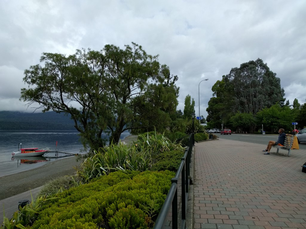
We got sorted for an 0830 start, waiting in the lounge next to reception, but a small crisis at the camp in the morning meant that Anna was needed on the desk for a bit as Brad sorted it out. So our departure was delayed until about 0930 - no problems for us as it was not a long day. Anna kindly dropped us off near the Princhester Rd intersection where there was plenty of room to safely pull off the road. We started from here at just after 0945 and ended up doing 23km in a touch under 7 hours of walking - arriving at Aparima Hut just after 1730. It didn’t feel like a hard day, although we ended up ascending almost 1000m and descending about 900m. The GPS track for the day is here. We set off up Princhester Rd, which was actually a gravel track through a working farm (see photos), but a public road nonetheless. This was very easy walking all the way to the hut, and flat to boot!! As a consequence, we made good time, covering the 6km in 1h12. We stopped at the hut for about 15 minutes before heading into the forest (the hut is right in the forest margin). The weather had been looking a bit misty/drizzly ahead of us but Belinda did a good job of pushing the rain away for the most part :-). It wasn’t long before my raincoat had to come off as I was getting hot and the moisture from above was not particularly wetting. The beech forest was not too bad underfoot for walking generally, but there were numerous muddy spots that were not always possible to completely avoid. There were also wetting bushes and ferns that we had to brush past, potentially wetting the trousers. B had her rain skirt on early and I eventually followed suit. After 4 hours and 11km we broke out into our first (of numerous!) swampy tussock areas (easy to see on the map if you follow the link to the GPS data above). These areas were generally wet underfoot, although not all completely boggy, with random holes for you to fall into with your feet, and a very difficult to follow ground trail (impossible sometimes). So they were a bit of a challenge at times, especially when it was hard to spot the next orange pole to give you a sense of direction! To summarise, for the next 10km we alternated between bush walking and these open tussock/bog areas until we reached the Aparima River at a spot where it does a big “S-bend”, at which stage we headed up onto a bluff overlooking this bit of the river. The weather was behaving for us so all we really had to cope with was the ground conditions which, as I noted above, could be a little challenging at times :-) We climbed for a bit more onto the top of this hill above the river, at which stage we started on a ridge that followed what looked like an old farm track for about a km, before dropping slightly for the last 500m or so to the Aparima Huts (technically there is an old hut as well as the newer one - we all stayed in the latter). Here we met Javed (Australia) and father and son duo from Invercargill who were doing the South Island TA in the school holidays. We did the sleeping bag shuffle to optimise the sleeping arrangements and had a good old chinwag over dinner before hitting the sack before 2100. Everybody was happy for an 0600 rise, although the others thought that they might get away a bit later than Javed and ourselves. I spent a fair bit of today relaxing in the lounge area, continuing to recharge electronics and reading. We went for a bit of a walk through town and down to the lakefront and I ate brunch while we were out. Belinda went for another walk later in the day to buy a couple of things and send some stuff home. We did experience another downpour today as the localised thunderstorms in the central south island eventuated as promised. It’s not the weather system that is currently giving the upper half of the North Island a beating luckily - it is just thunderstorms popping up as a result of warmer air in the lower atmosphere and cooler air higher up - so shouldn’t affect our walking particularly. Later in the afternoon I wandered up to reception to ask Anna (she and husband Brad lease the camp of Brad’s parents) what time the kitchen opened. After responding that “it never shuts”, I said that we were wanting to get underway fairly early so we can hitch to Princhester Rd. She responded that she was heading that way in the morning and could give us a lift if we wanted - things just go your way sometimes :-) So we planned for an 0830 departure - we were not planning a big day tomorrow so no early start was required. |
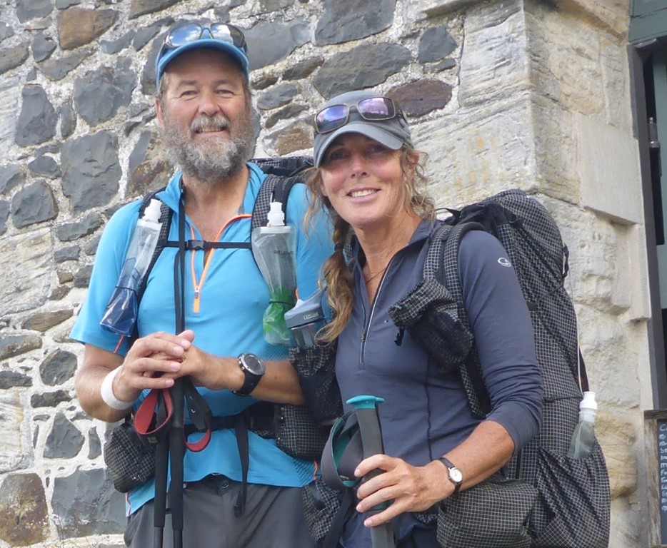
AuthorBelinda and Anthony (aka Tony) Hadfield made a decision, in their late 50's, to do something a "bit different" and walk New Zealand's 3000km Te Araroa Trail over summer 2015/16 - although updates will now tell you that this plan will take longer now!!. As the old saying goes - "don't leave home 'til you've seen the country"!! Archives
January 2018
Categories |


 RSS Feed