|
We got sorted for an 0830 start, waiting in the lounge next to reception, but a small crisis at the camp in the morning meant that Anna was needed on the desk for a bit as Brad sorted it out. So our departure was delayed until about 0930 - no problems for us as it was not a long day. Anna kindly dropped us off near the Princhester Rd intersection where there was plenty of room to safely pull off the road. We started from here at just after 0945 and ended up doing 23km in a touch under 7 hours of walking - arriving at Aparima Hut just after 1730. It didn’t feel like a hard day, although we ended up ascending almost 1000m and descending about 900m. The GPS track for the day is here. We set off up Princhester Rd, which was actually a gravel track through a working farm (see photos), but a public road nonetheless. This was very easy walking all the way to the hut, and flat to boot!! As a consequence, we made good time, covering the 6km in 1h12. We stopped at the hut for about 15 minutes before heading into the forest (the hut is right in the forest margin). The weather had been looking a bit misty/drizzly ahead of us but Belinda did a good job of pushing the rain away for the most part :-). 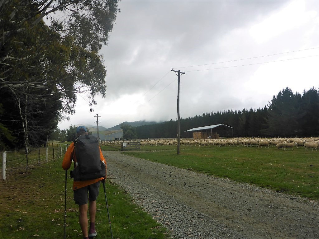 The start of Princhester Rd!! Plenty of sheep poo - but made us feel at home :-) 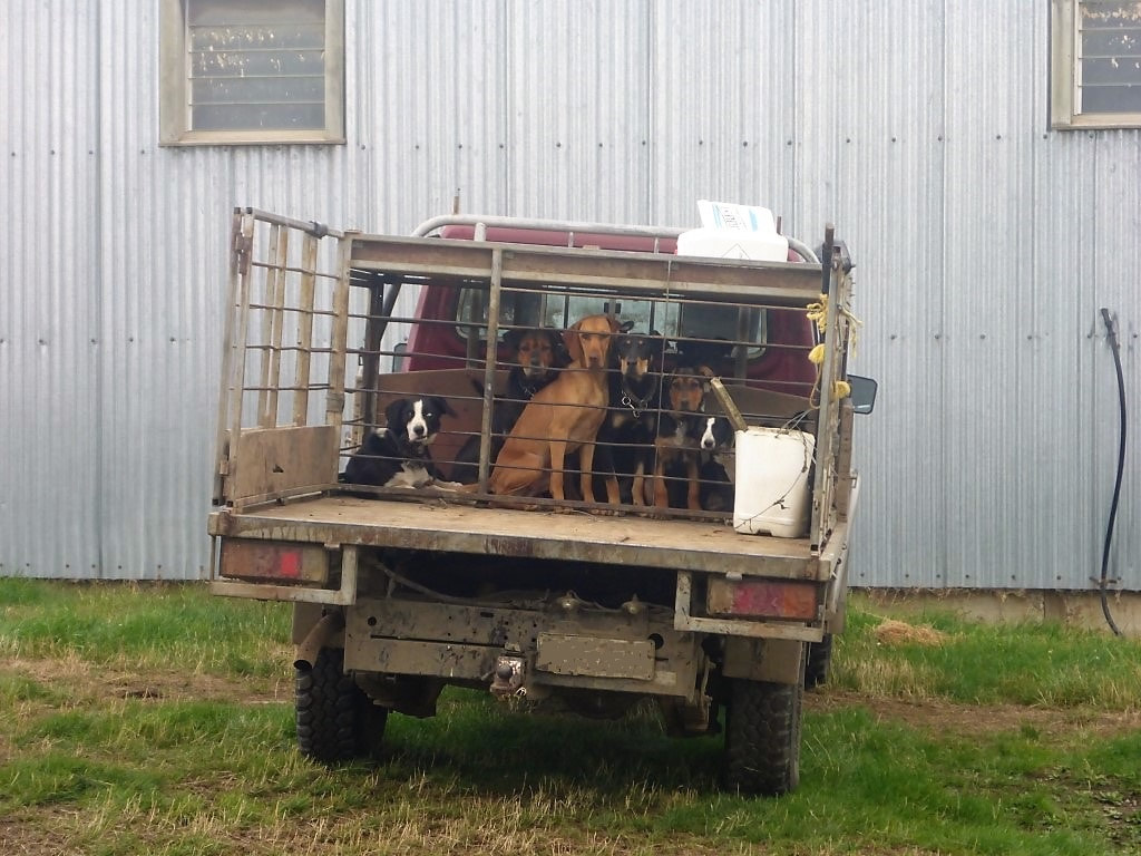 The hired (canine) help. 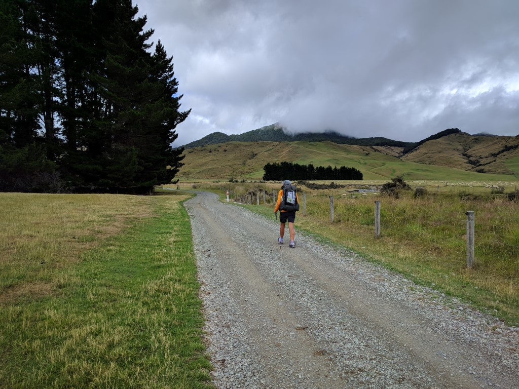 B heading up through the farm on easy going. 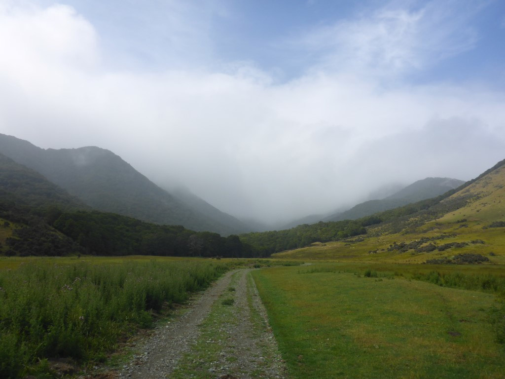 Nearing the end of Princhester Rd - the hut is just in the forest margin ahead. 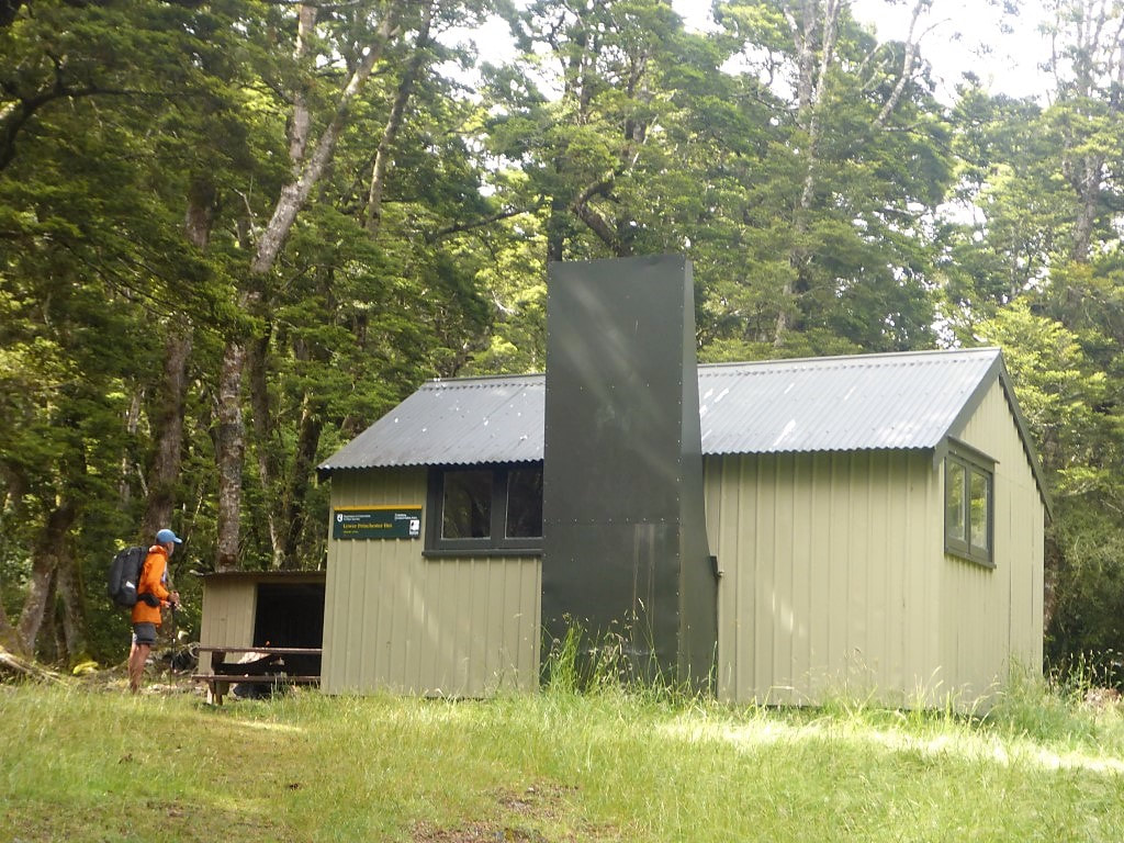 Lower Princhester Hut. 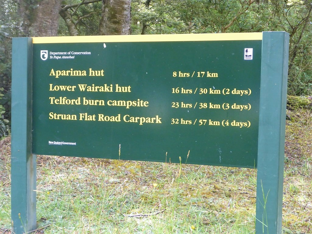 The sign tells "porkies". We did Aparima in <6hr walking and Struan Flat was a very comfortable 3 days (21hrs walking) even at our pace. It wasn’t long before my raincoat had to come off as I was getting hot and the moisture from above was not particularly wetting. The beech forest was not too bad underfoot for walking generally, but there were numerous muddy spots that were not always possible to completely avoid. There were also wetting bushes and ferns that we had to brush past, potentially wetting the trousers. B had her rain skirt on early and I eventually followed suit. After 4 hours and 11km we broke out into our first (of numerous!) swampy tussock areas (easy to see on the map if you follow the link to the GPS data above). These areas were generally wet underfoot, although not all completely boggy, with random holes for you to fall into with your feet, and a very difficult to follow ground trail (impossible sometimes). So they were a bit of a challenge at times, especially when it was hard to spot the next orange pole to give you a sense of direction! 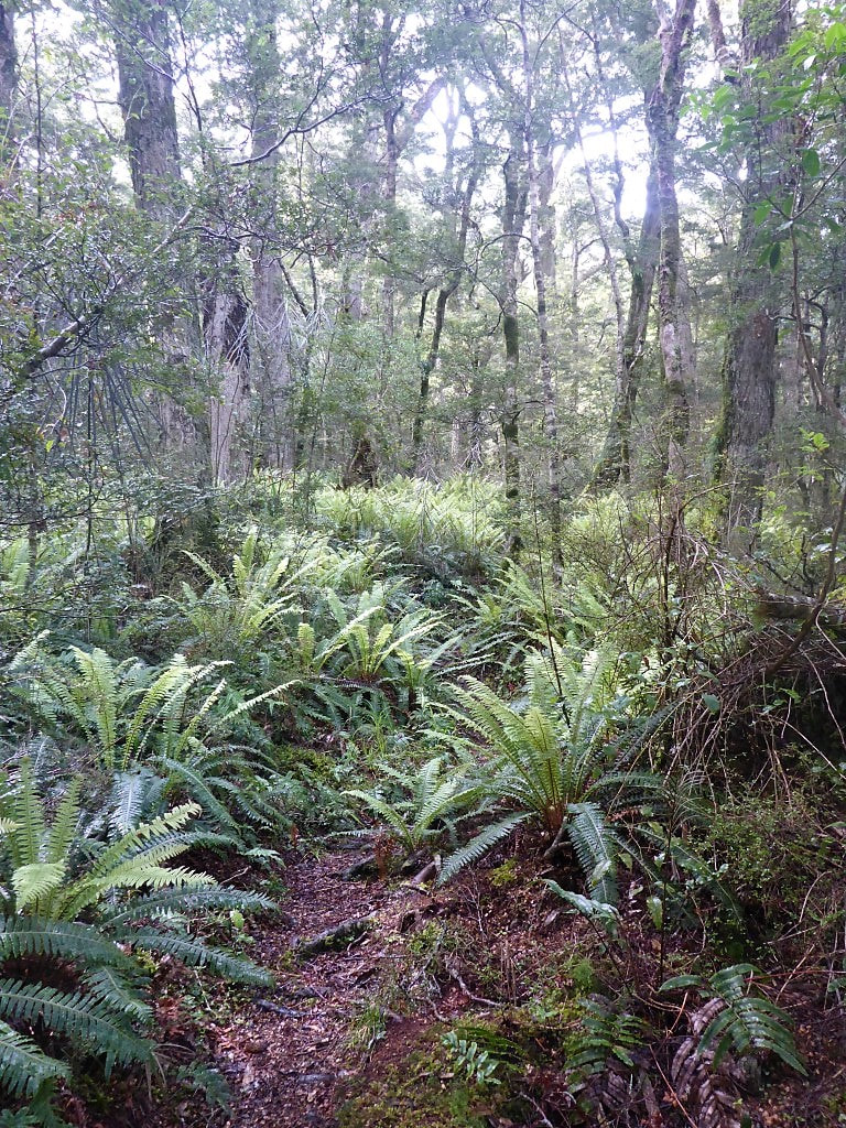 Collection of ferns to wet your legs/trousers. 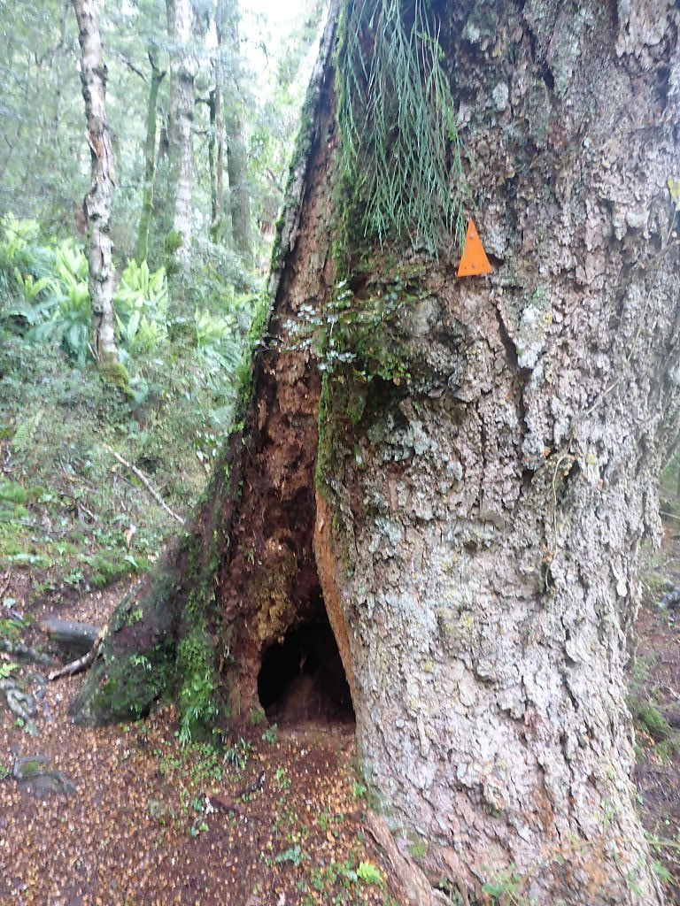 Its no wonder beeches seem to fall over regularly - hollow trunk. 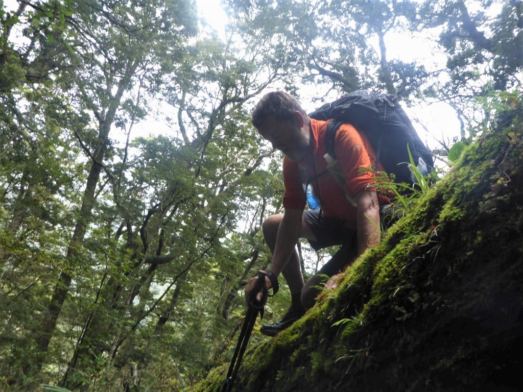 Fallen tree. Option 1 for the taller, older and not so flexible!! 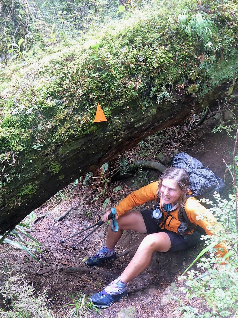 Fallen tree. Option 2 for the shorter, not so old, and more nimble :-) 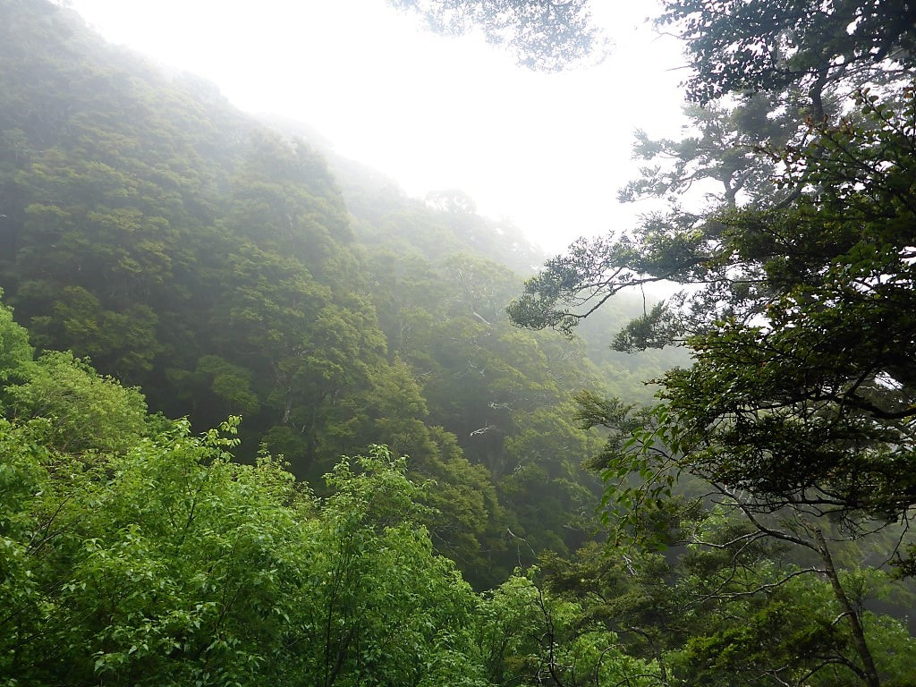 Still a lot of moisture in the air. 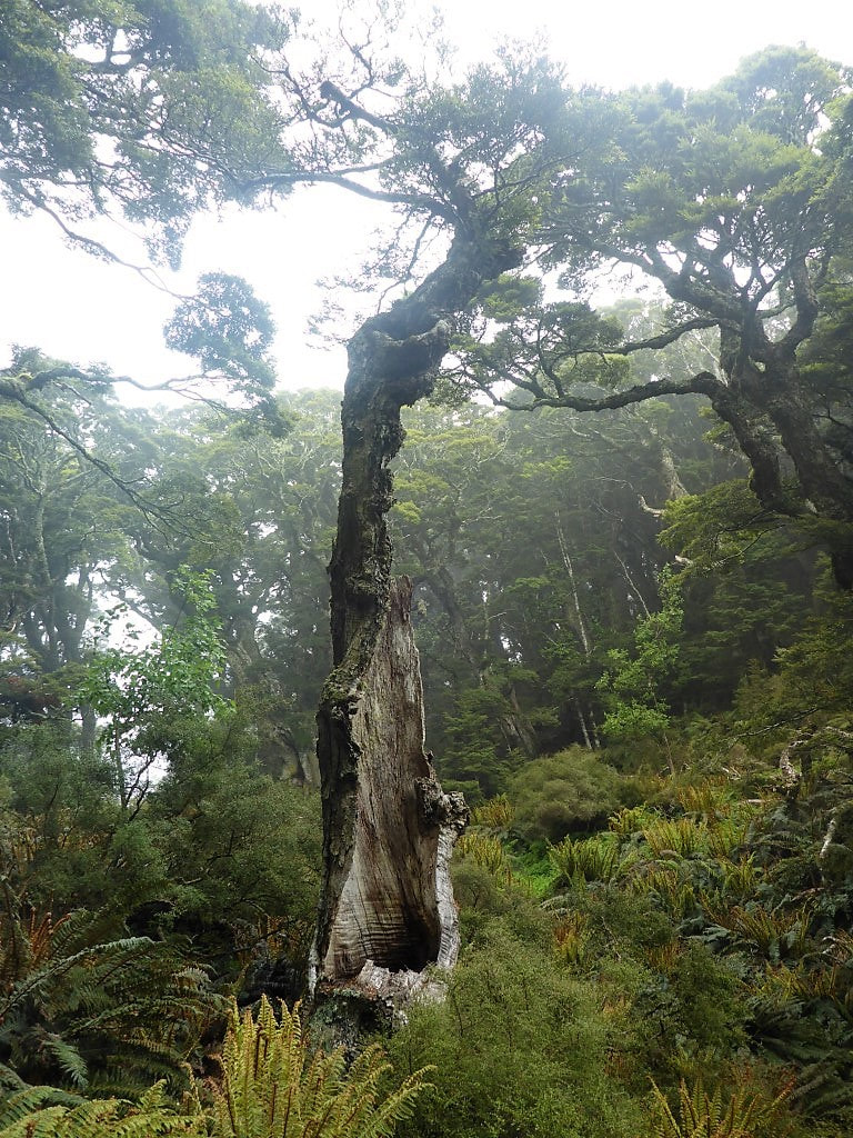 Another example of why beech trees fall. 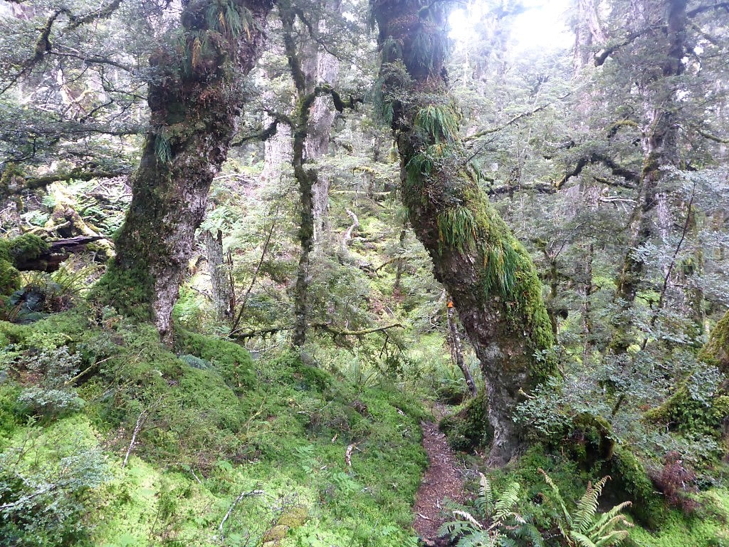 Its easy to spot just how moist this environment is! 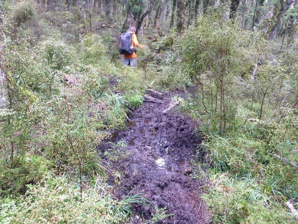 Add a bit of recent rain and the result is ..... mud :-) 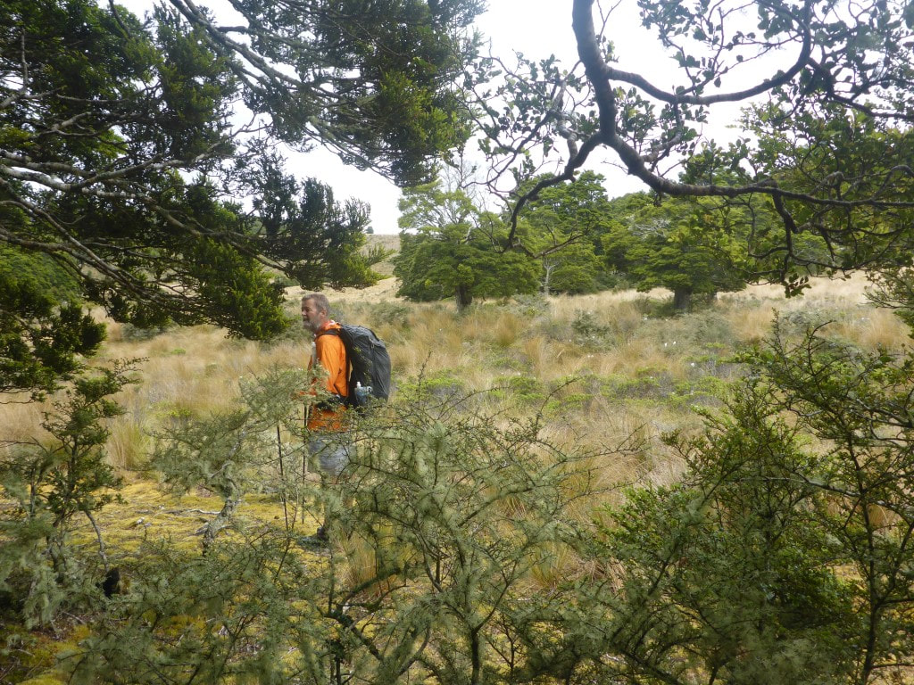 Our first break out of the bush since Lower Princhester Hut. To summarise, for the next 10km we alternated between bush walking and these open tussock/bog areas until we reached the Aparima River at a spot where it does a big “S-bend”, at which stage we headed up onto a bluff overlooking this bit of the river. The weather was behaving for us so all we really had to cope with was the ground conditions which, as I noted above, could be a little challenging at times :-) 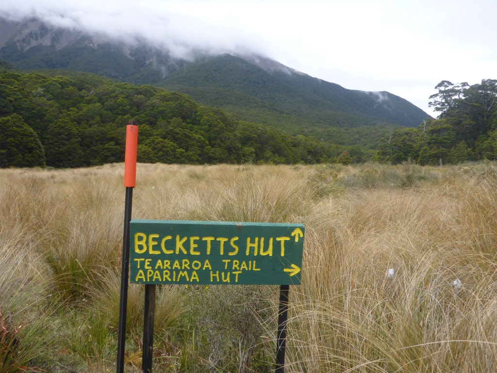 Almost the same colour as the official DoC signs :-) 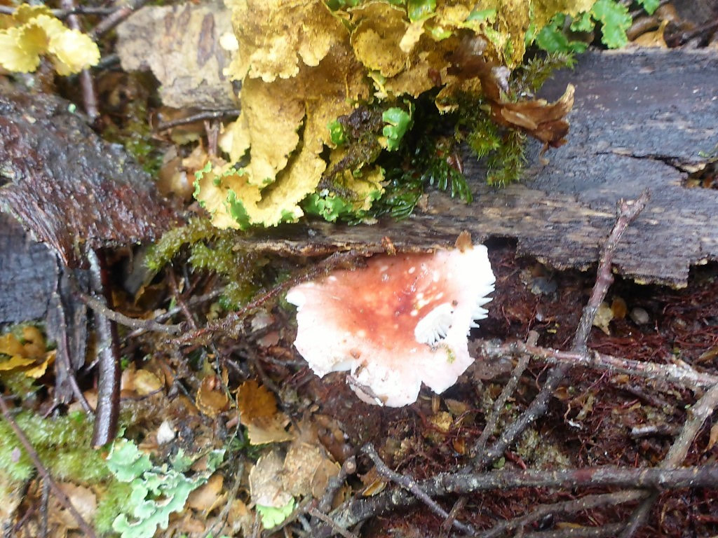 Another consequence of moisture levels - plenty of fungi around. 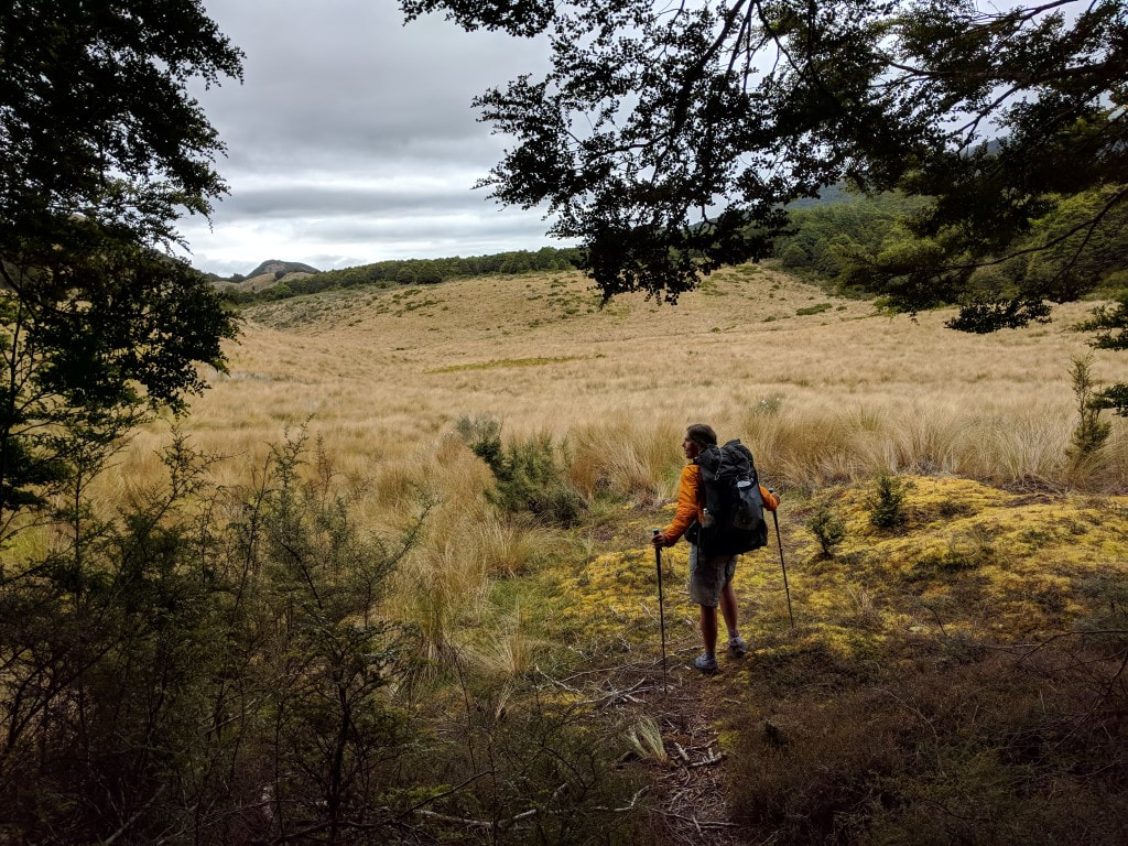 Coming out of another bush section onto tussock and bogs. 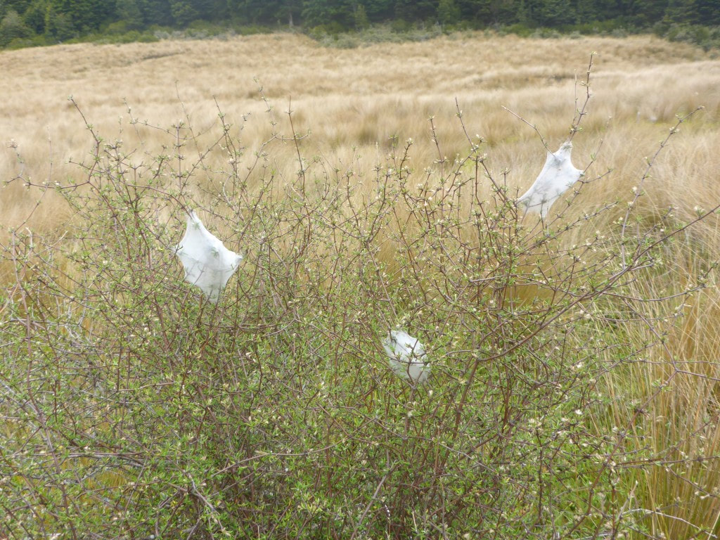 Spiders at work. 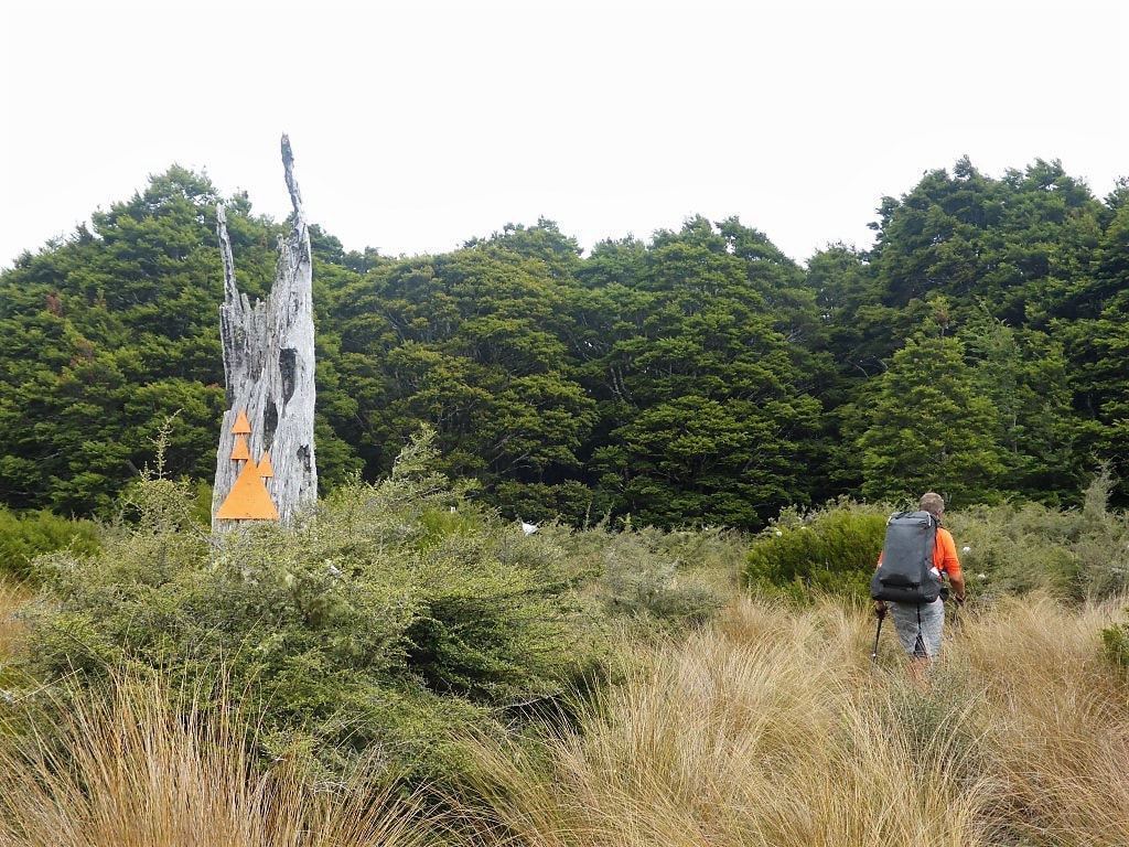 Sometimes it was hard to spot orange markers - in this case it would be hard for anyone to miss the next spot to enter the bush :-) 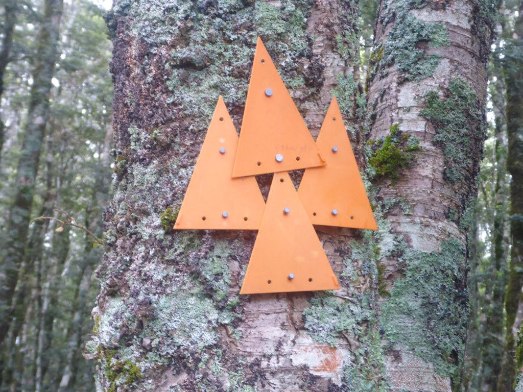 And, once in the bush, more confirmation of the correct direction!! They must have had a few spare orange triangles they didn't want to carry out :-) 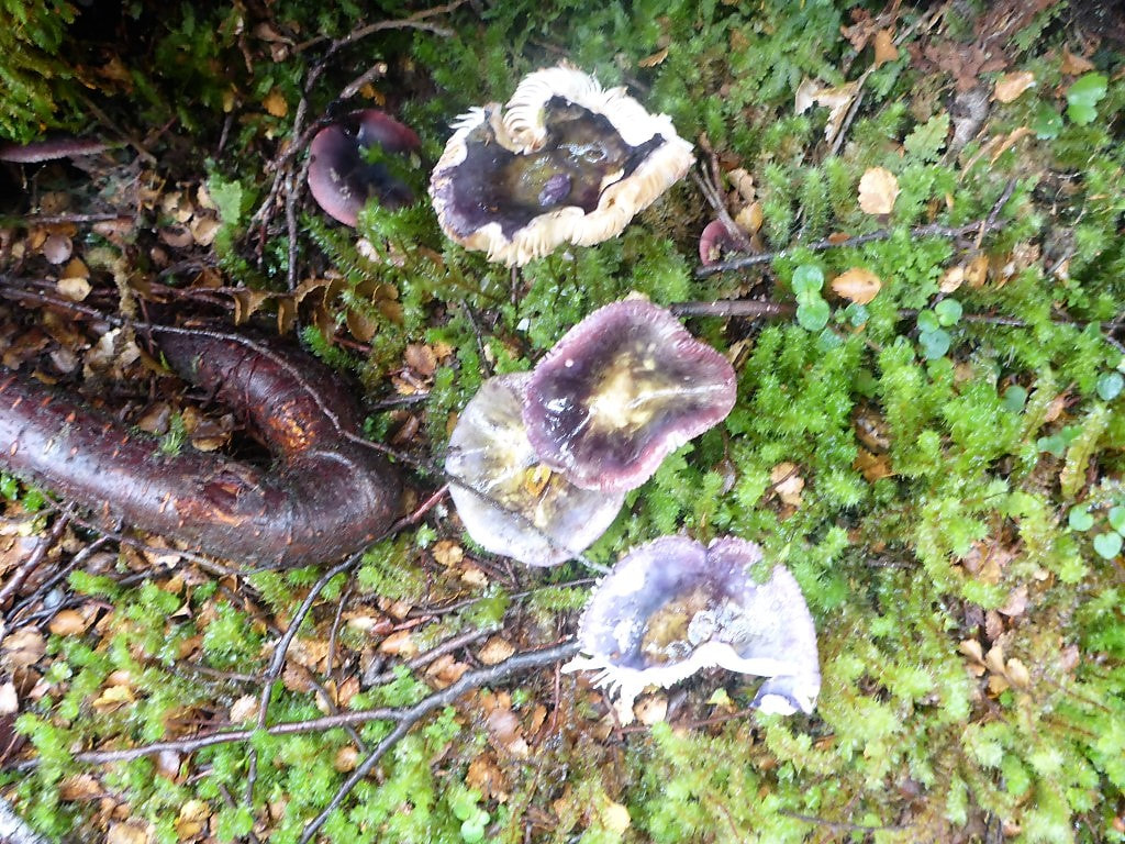 Purple fungi for a change. 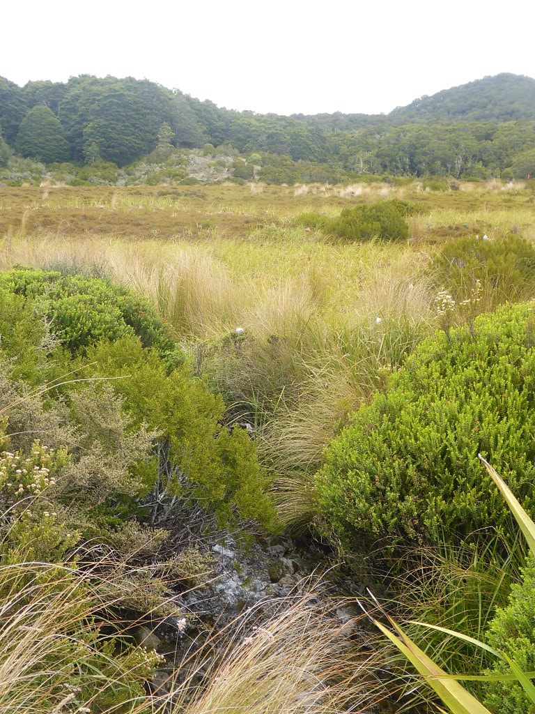 Not easy to spot a ground trail. 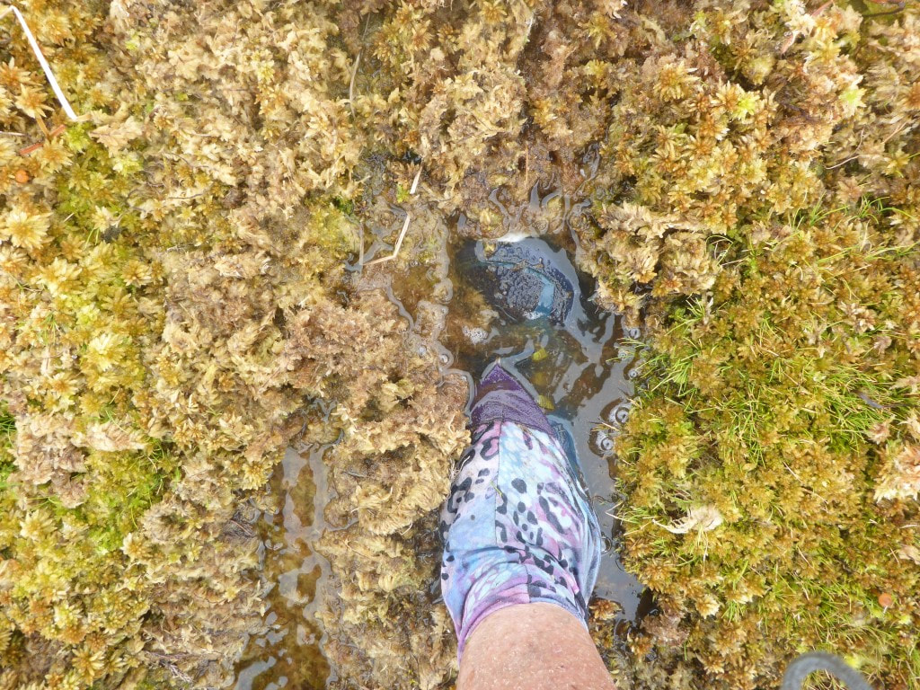 Walking on a sponge-bog! See video below. 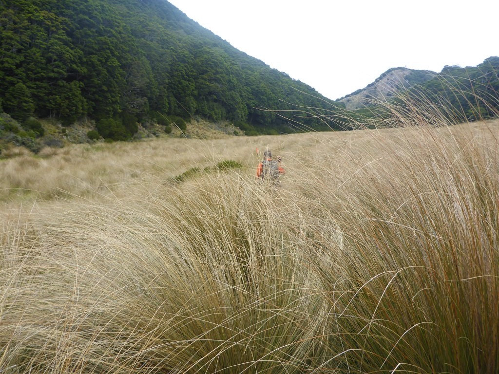 Tall tussock - full of holes and wet areas. A bit hard to navigate when you can't see the next marker pole. 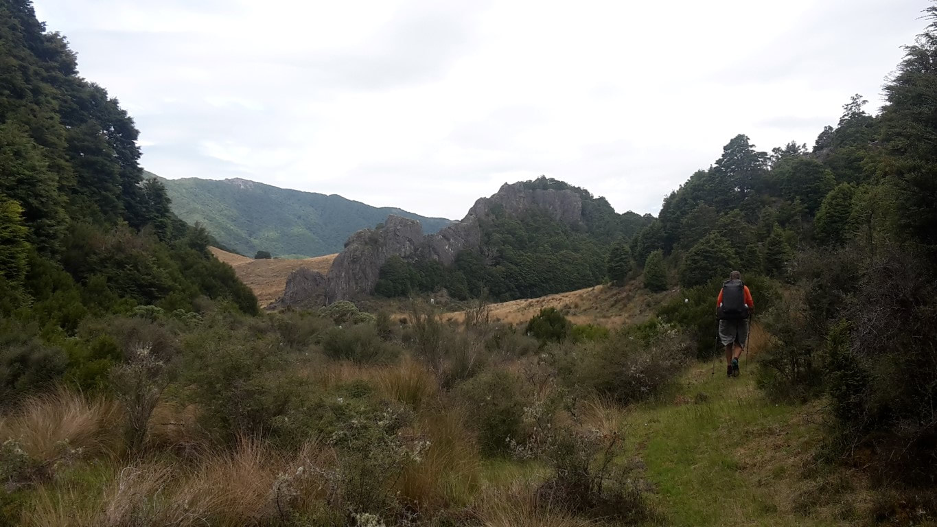 Out of the blue, a very rocky formation. 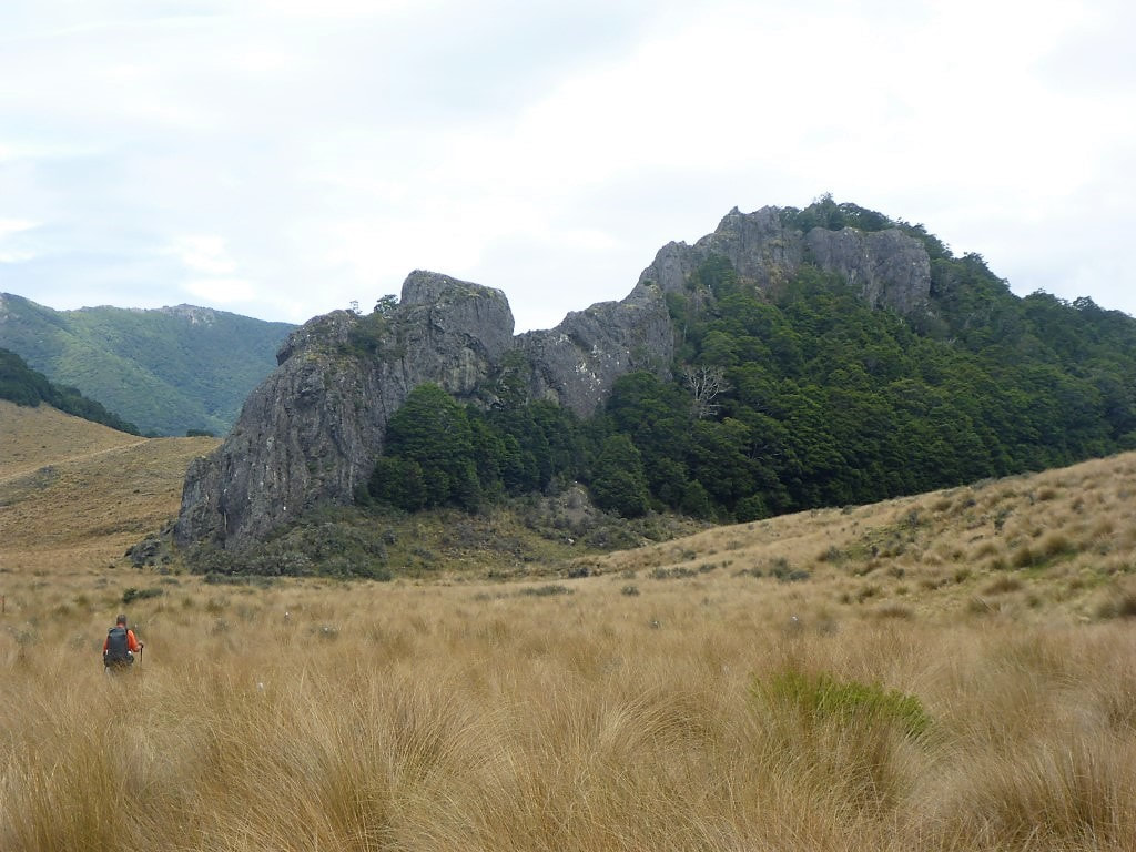 Amazing what trees will grow on. 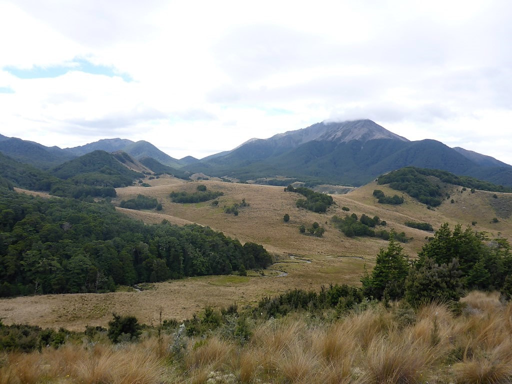 As we are getting further south, its noticeably more "hill country" than "high country". 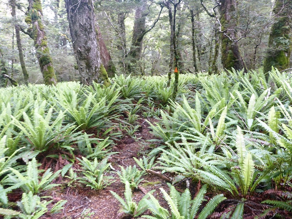 Another fern garden among the beech forest. 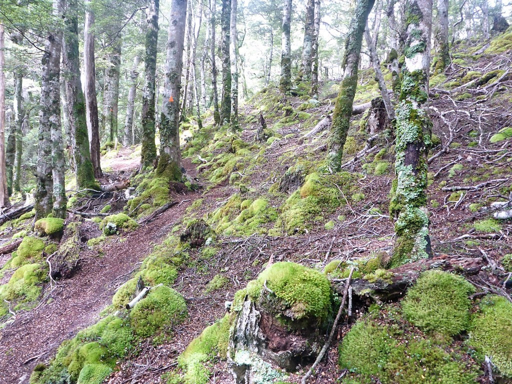 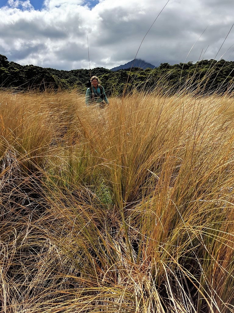 Not quite finished with the tall tussock yet. 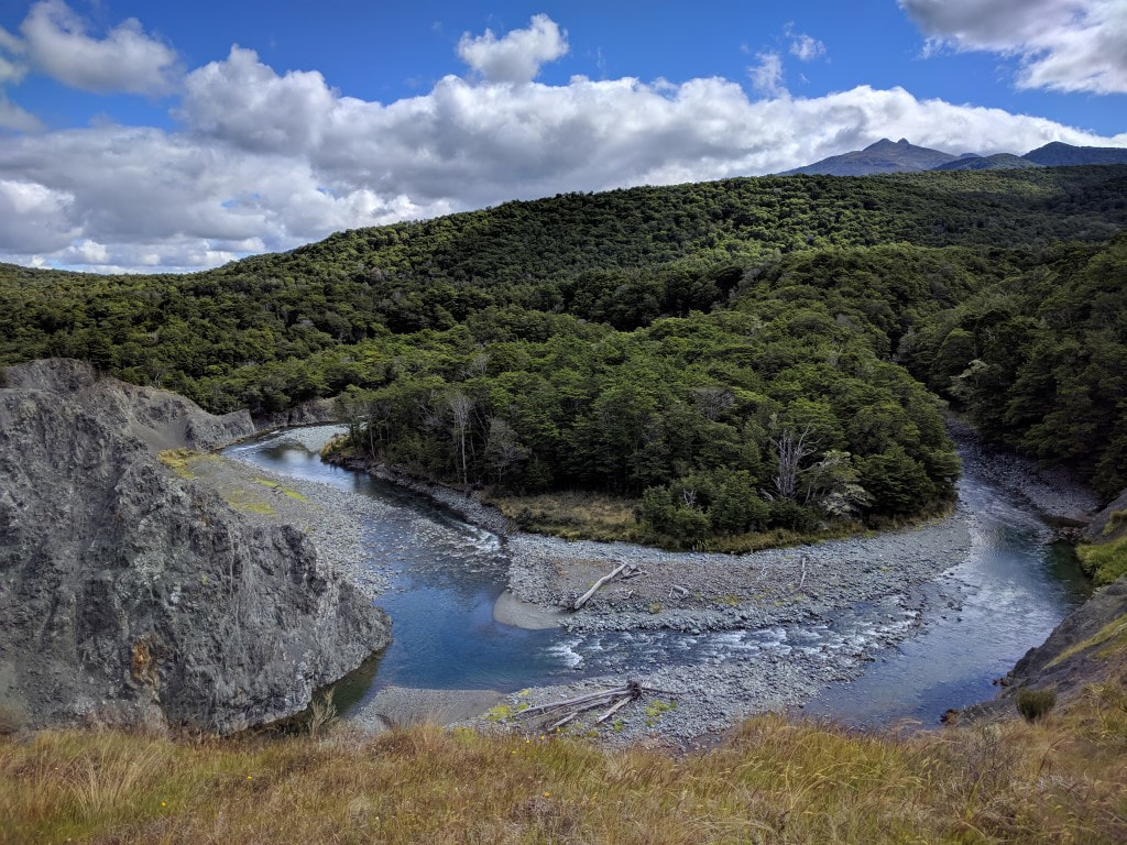 Finally we hit the Aparima River and start climbing up the bluff above it. We climbed for a bit more onto the top of this hill above the river, at which stage we started on a ridge that followed what looked like an old farm track for about a km, before dropping slightly for the last 500m or so to the Aparima Huts (technically there is an old hut as well as the newer one - we all stayed in the latter). Here we met Javed (Australia) and father and son duo from Invercargill who were doing the South Island TA in the school holidays. We did the sleeping bag shuffle to optimise the sleeping arrangements and had a good old chinwag over dinner before hitting the sack before 2100. Everybody was happy for an 0600 rise, although the others thought that they might get away a bit later than Javed and ourselves. 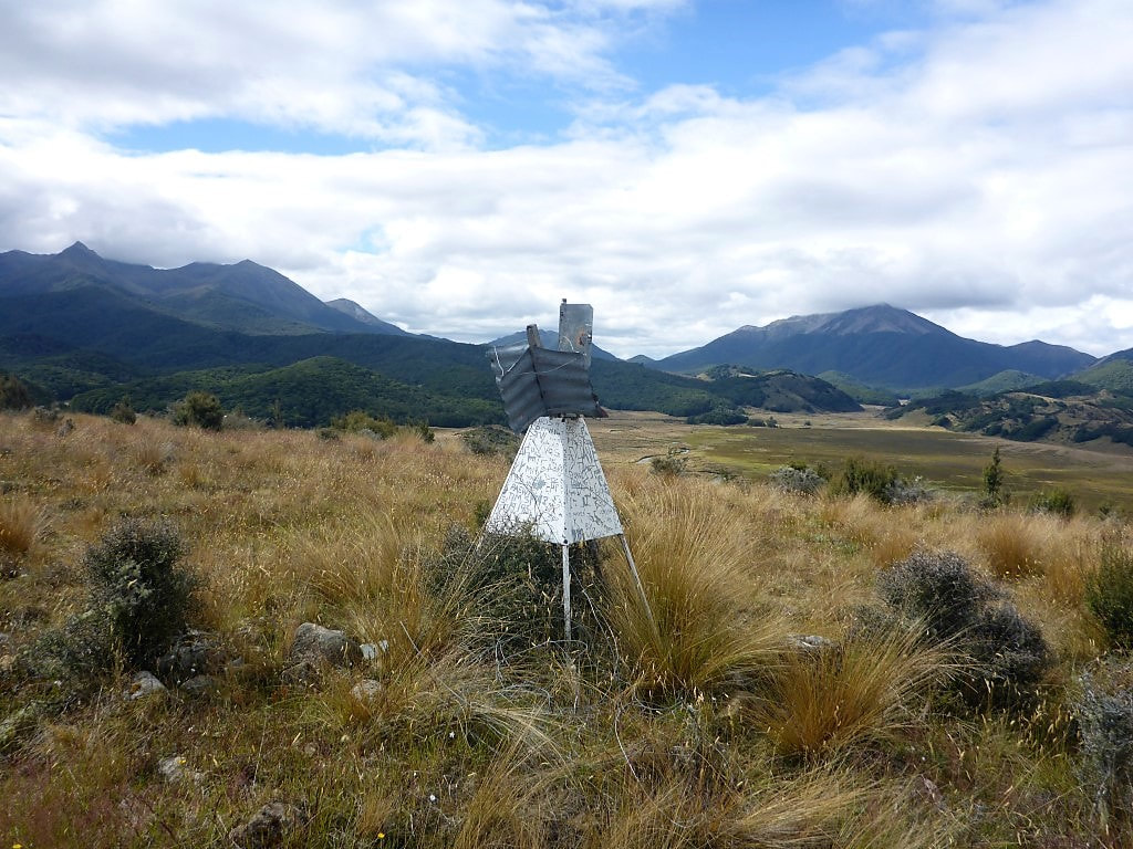 Old trig at the top of the hill. 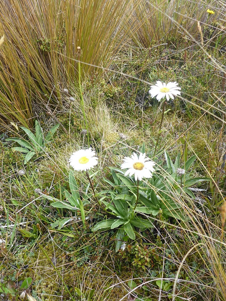 More daisies amongst the tussock. 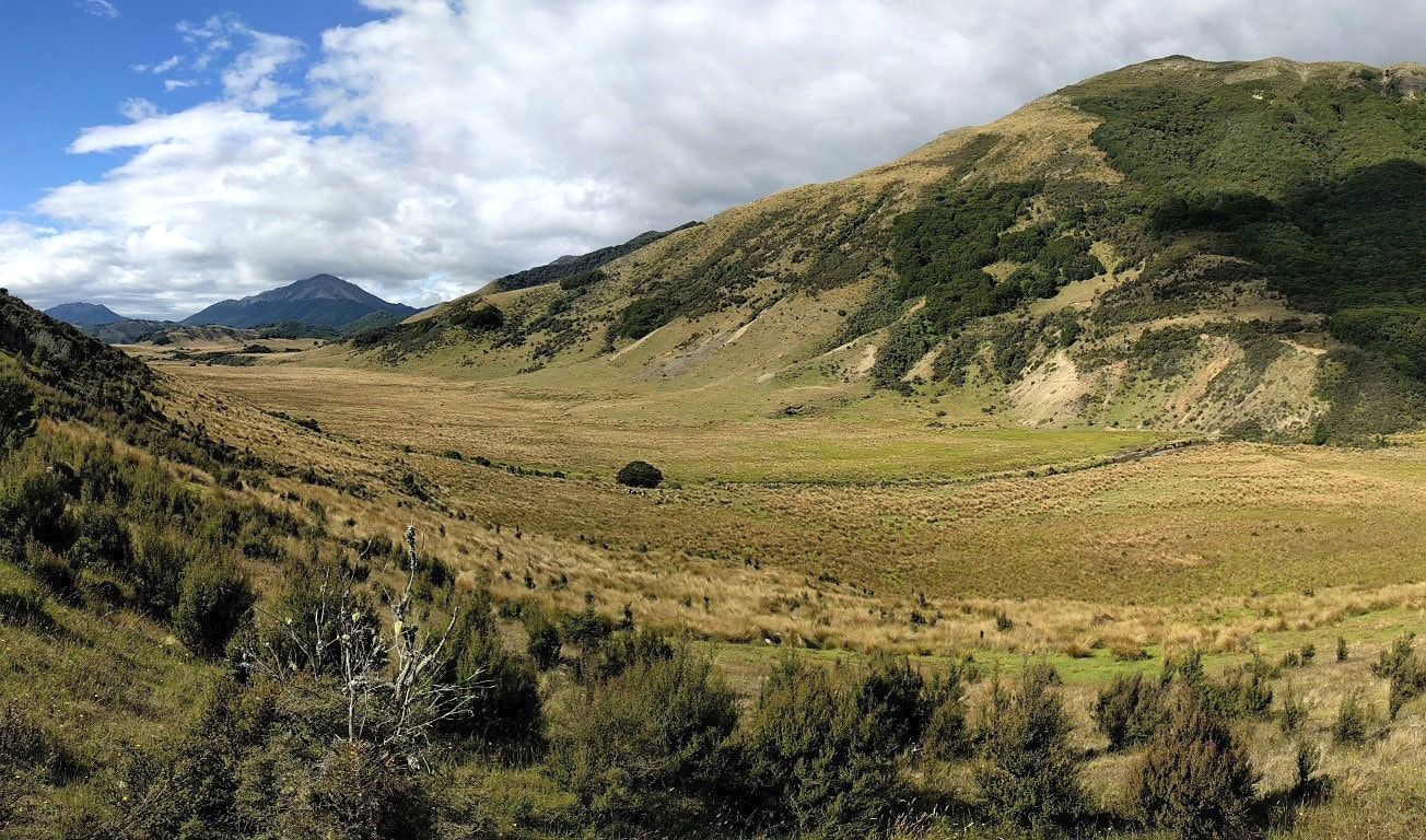 Looking back up the Waterloo Burn valley, nearing Aparima Huts. Hereford cattle being farmed here. 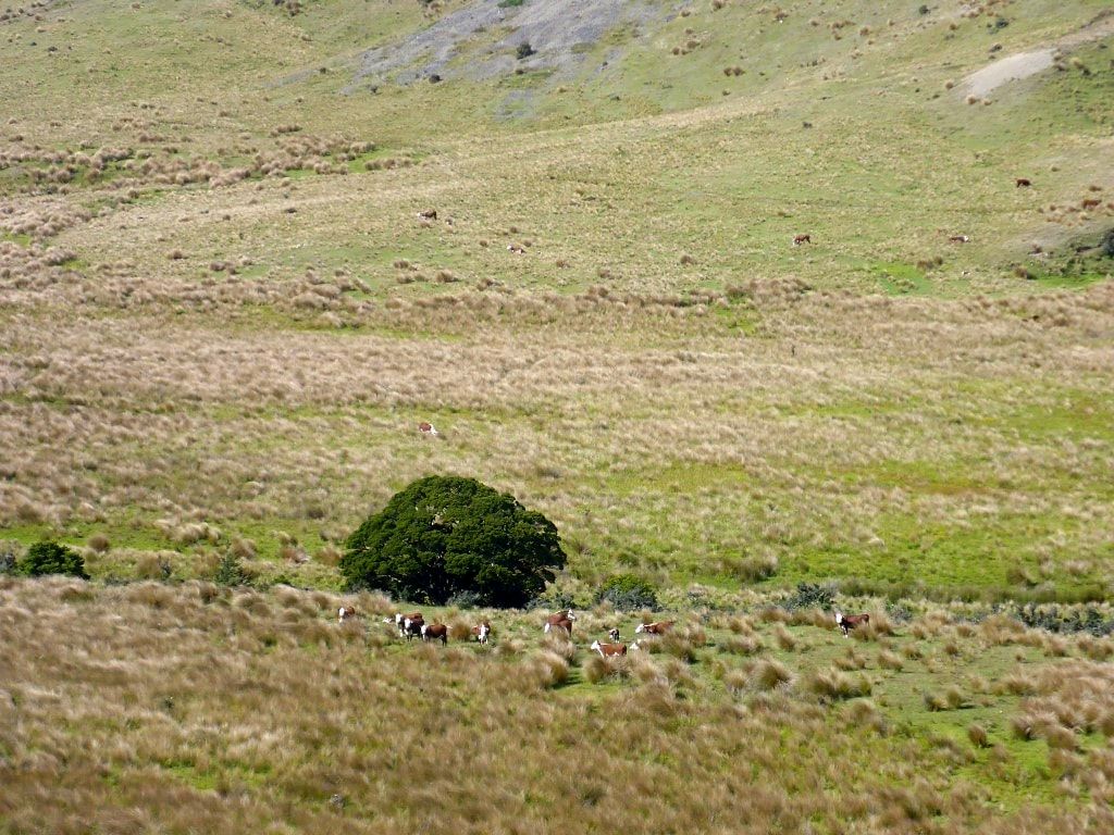 Close up of the clump of trees from centre of previous photo. Herefords again made Belinda feel at home :-) 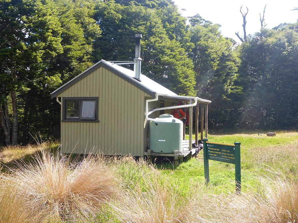 The newer Aparima Hut. 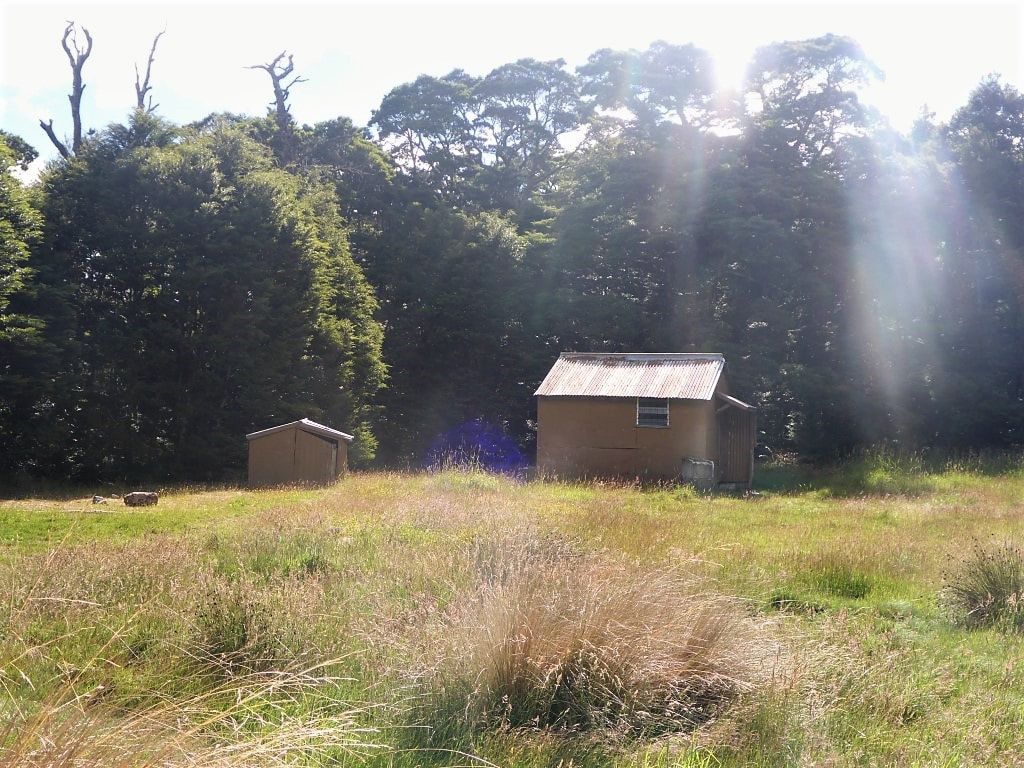 And the older one close by - still usable. 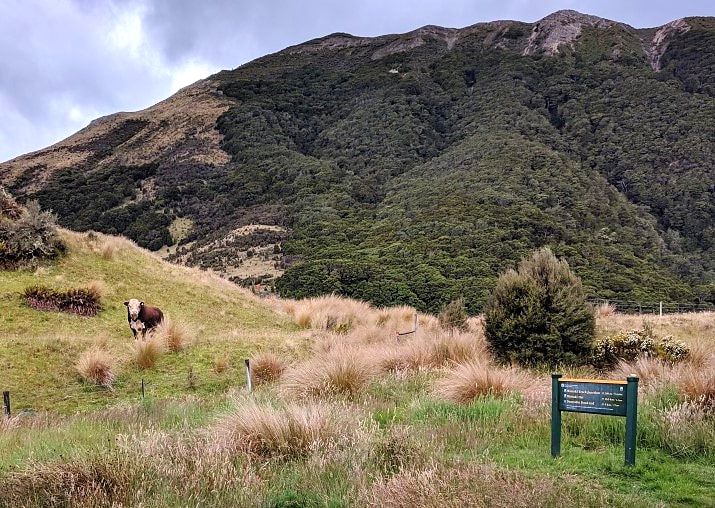 Around 1900 we had a visit from one of the bulls running with the cows.
0 Comments
Leave a Reply. |

AuthorBelinda and Anthony (aka Tony) Hadfield made a decision, in their late 50's, to do something a "bit different" and walk New Zealand's 3000km Te Araroa Trail over summer 2015/16 - although updates will now tell you that this plan will take longer now!!. As the old saying goes - "don't leave home 'til you've seen the country"!! Archives
January 2018
Categories |
 RSS Feed