|
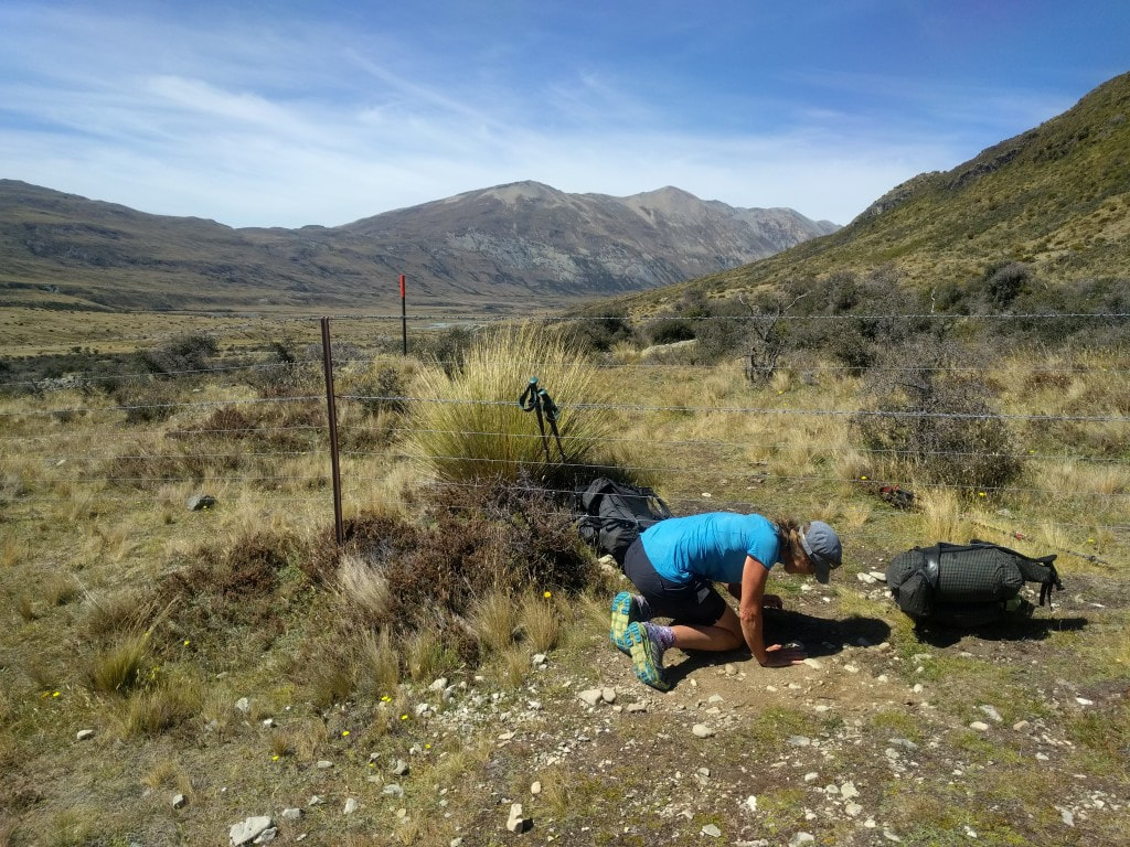
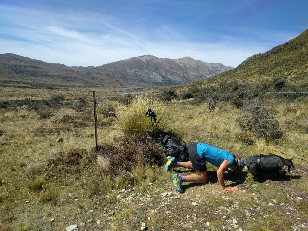
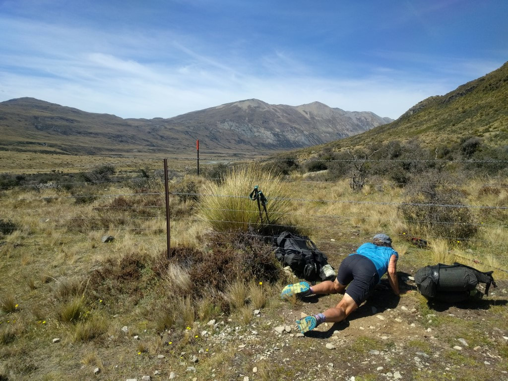
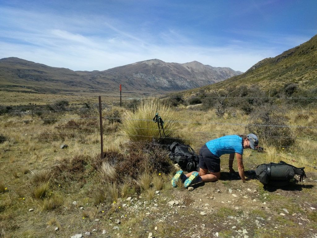
David, Caesar, B and I had left our packs out in the common area last night to minimise noise in the morning as we wanted to be up at 0600. We got underway around 0720. It was a bit misty around the hut at 0600 but it cleared relatively soon so didn’t affect our start. The day ended up being 29km in around 7h45 - I forgot to turn the watch back on after our stop for lunch around 1220 - so missed about 15 minutes and 1km of tracking (its easy to see the straight line on the Suunto GPS map, so I can work out how long it was off!). The GPS info is here. We set off through beech forest knowing there were not a lot of ups and downs today, which should make for relatively easy going. Some of the beech track was “rocks and roots” which made me a little slower as I was still being very careful about where I placed my feet. In other places the underfoot was better, with a few roots and no rocks - which increased speed a little. We had our first stop after 1h40 having averaged 3.5kph to that point, so we knew we were making reasonably good time. As we got higher, we entered areas of scrub and also of tussock - with some bog areas thrown in for good measure. 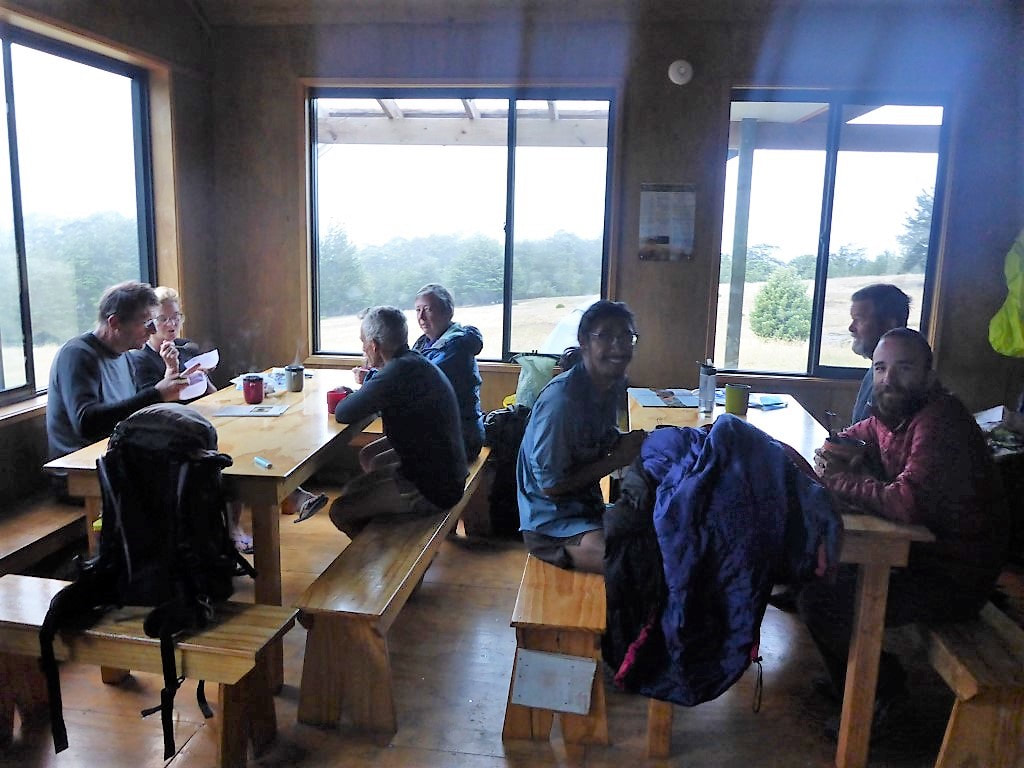 Breakfast - almost ready to go. 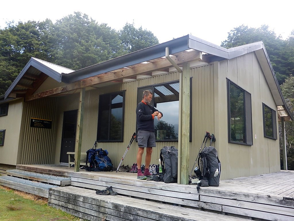 Surely it must be time to go now??! 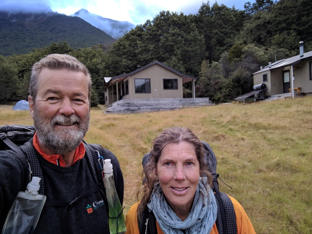 The occasional selfie is deemed acceptable :-) 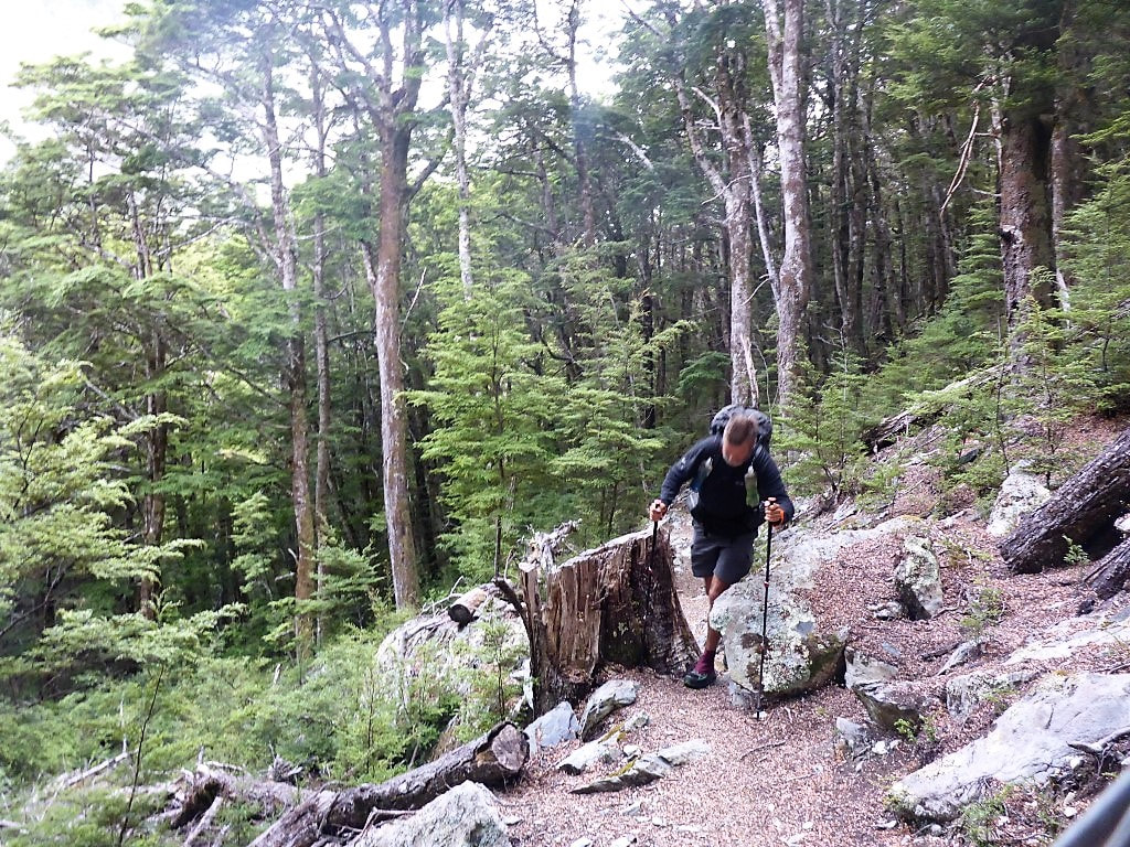 Between a rock and a tree stump! 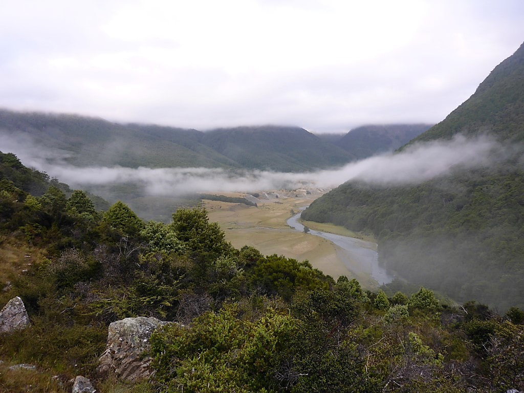 Looking up the Greenstone valley - which we are no longer following. 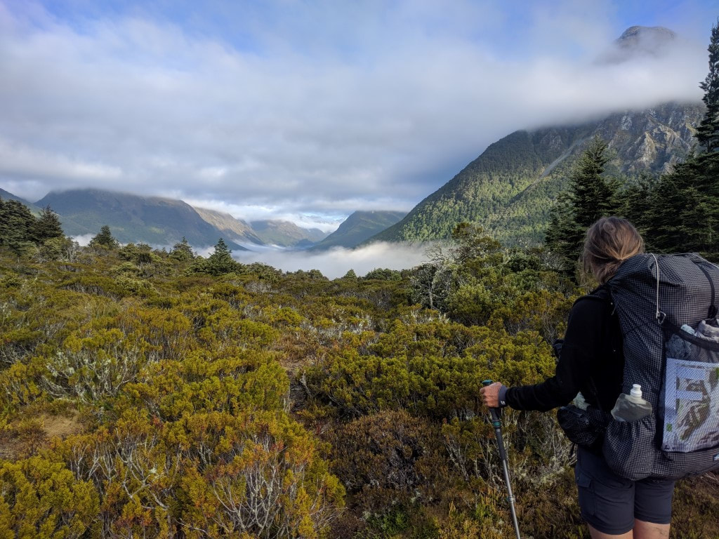 That's our direction. 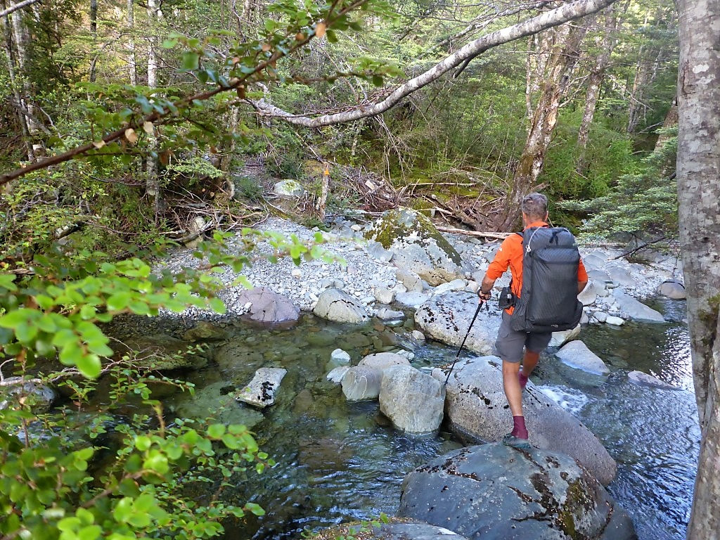 Dry foot crossing :-) 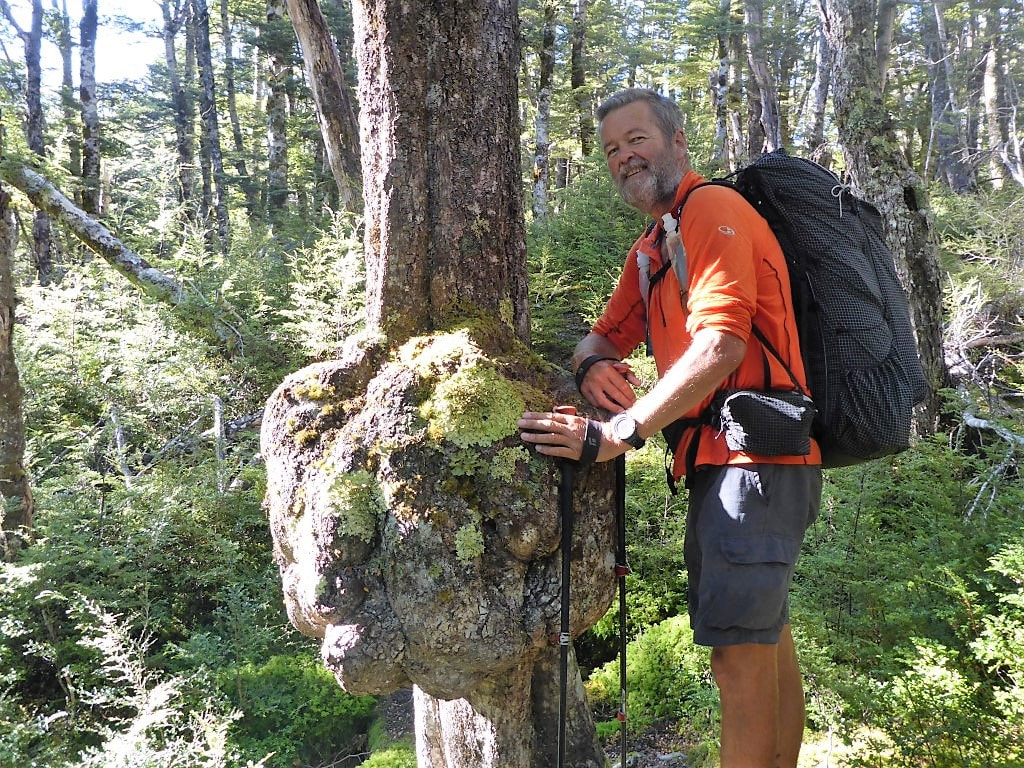 A rather large burl (looks like a "carbunkle"!!). 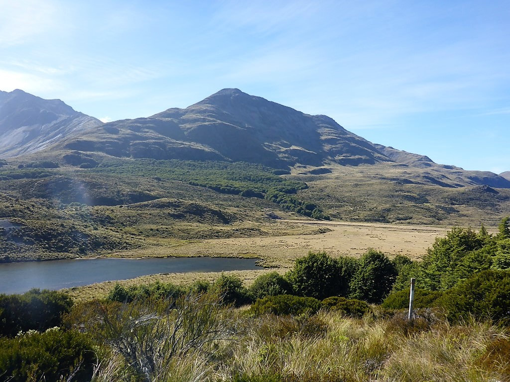 Random little pond amongst the tussock. There were a few of these during the day. 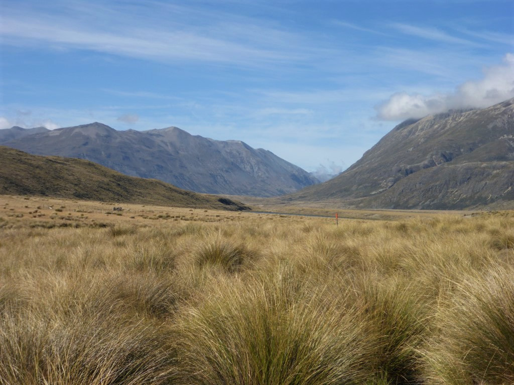 More tussock to wade through as we head down the valley. 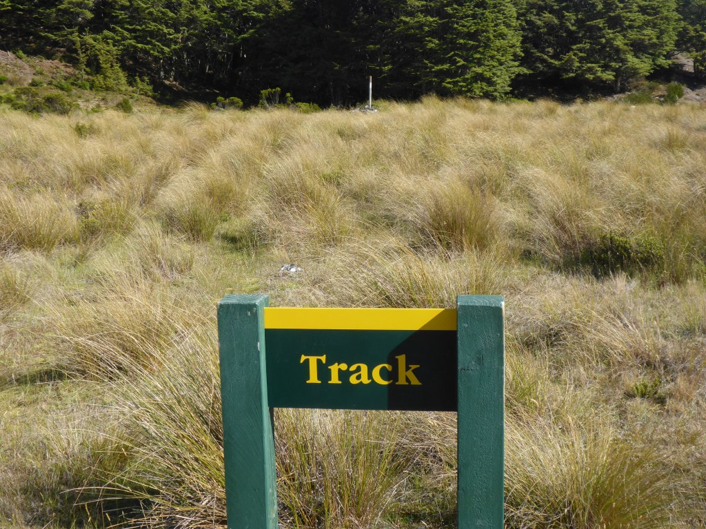 What does one make of this helpful sign? :-) We eventually dropped into the river valley, although we were walking on a sort of terrace above the river often, rather than right down by the river. We arrived at Taipo Hut just before 1030 - 2h45 walking time - so had made pretty good progress seeing as DoC times say 4-5hr! I can imagine, if it is wetter, that some of the boggy areas would be much slower going, but we managed to go over or round all the bogs pretty easily. It was a nice fine day with a gentle breeze, which helps. We had a break at the hut and were underway again after an almost 15min break - straight across a swingbridge over the upper reaches of the Mararoa River (that we would now follow, more or less for the next day and a half). 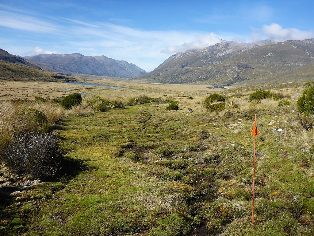 Less than 30 minutes from Taipo Hut. A typical boggy area where it is hard to keep your feet dry. 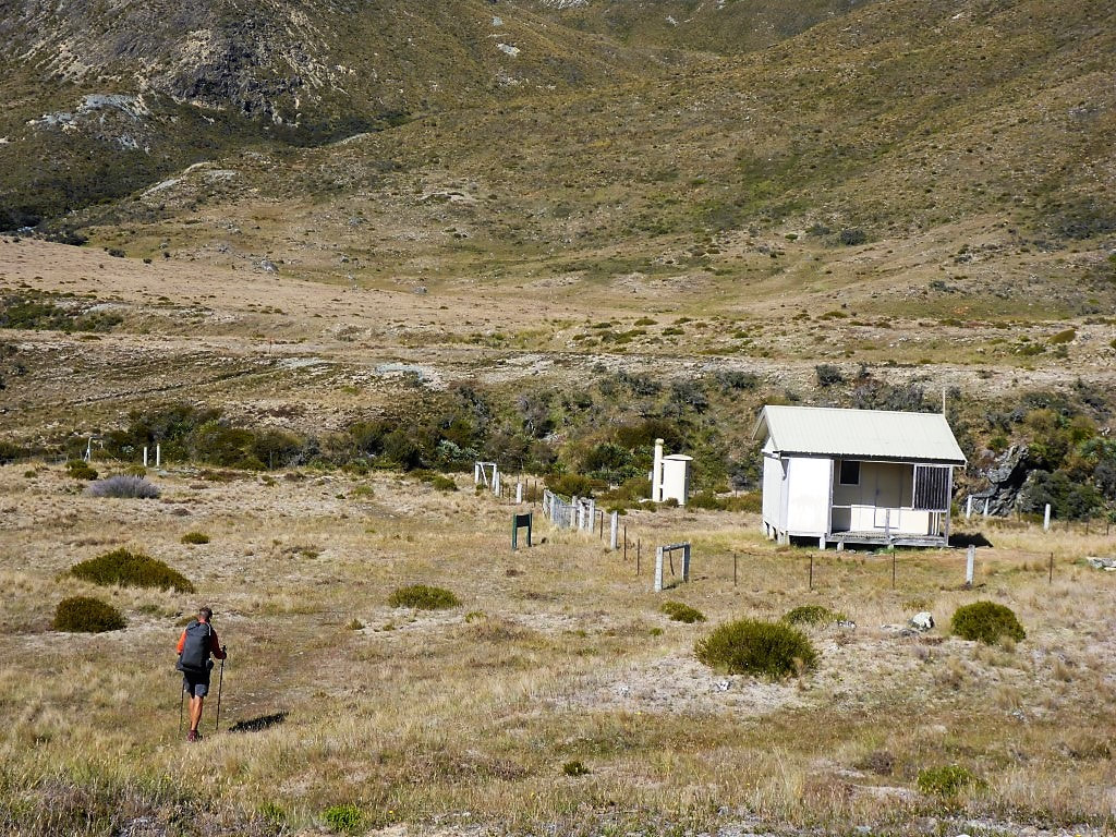 A fenced-off Taipo Hut. Swingbridge is at left of shot. 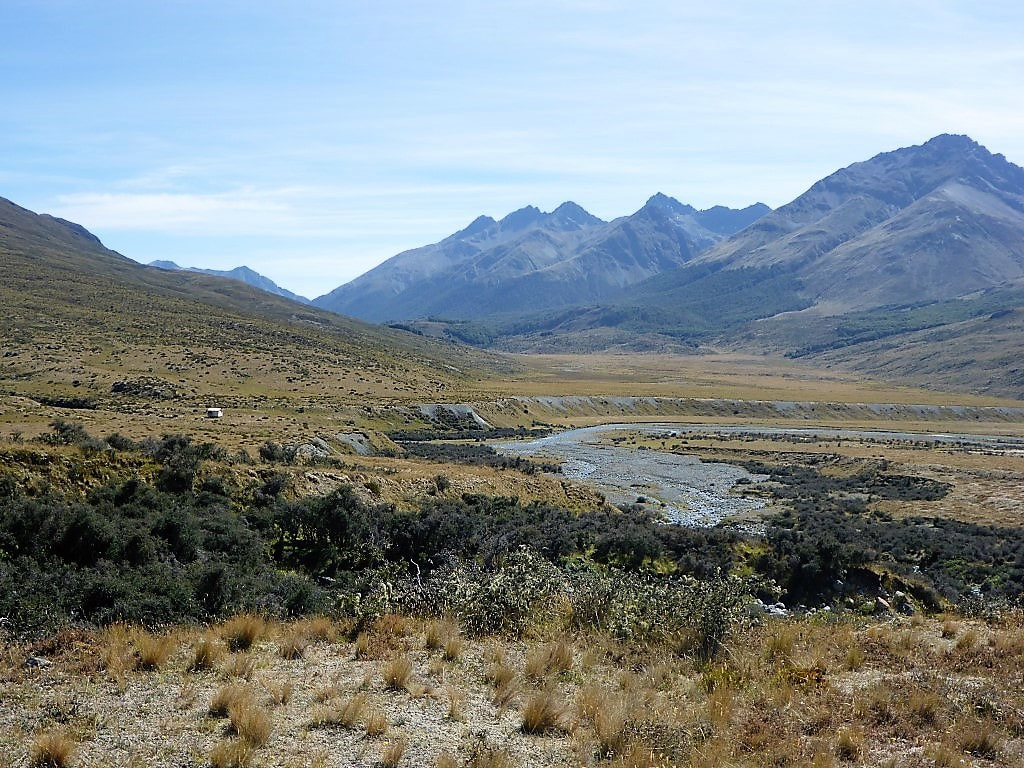 Looking back at Taipo Hut not long after leaving. From here the first couple of kms was very easy going on a flat track before the track headed to the edge of the valley, running just at the bottom of the hills to the west of the river. This made for little ups and downs through more open scrubby/ rocky, tussocky, and occasionally boggy, terrain - so the going was slower. This was mostly the case until we hit the swingbridge across the Mararoa to Boundary Hut - this 12km or so from Taipo Hut took us about 3h15 walking time (with a long stop for lunch thrown in). After the swingbridge, the hut is actually 200m or so back upstream (easy to see on the day’s GPS track) but, as it was hot and time for a break, we headed back to it - also topping up our water while we were there. 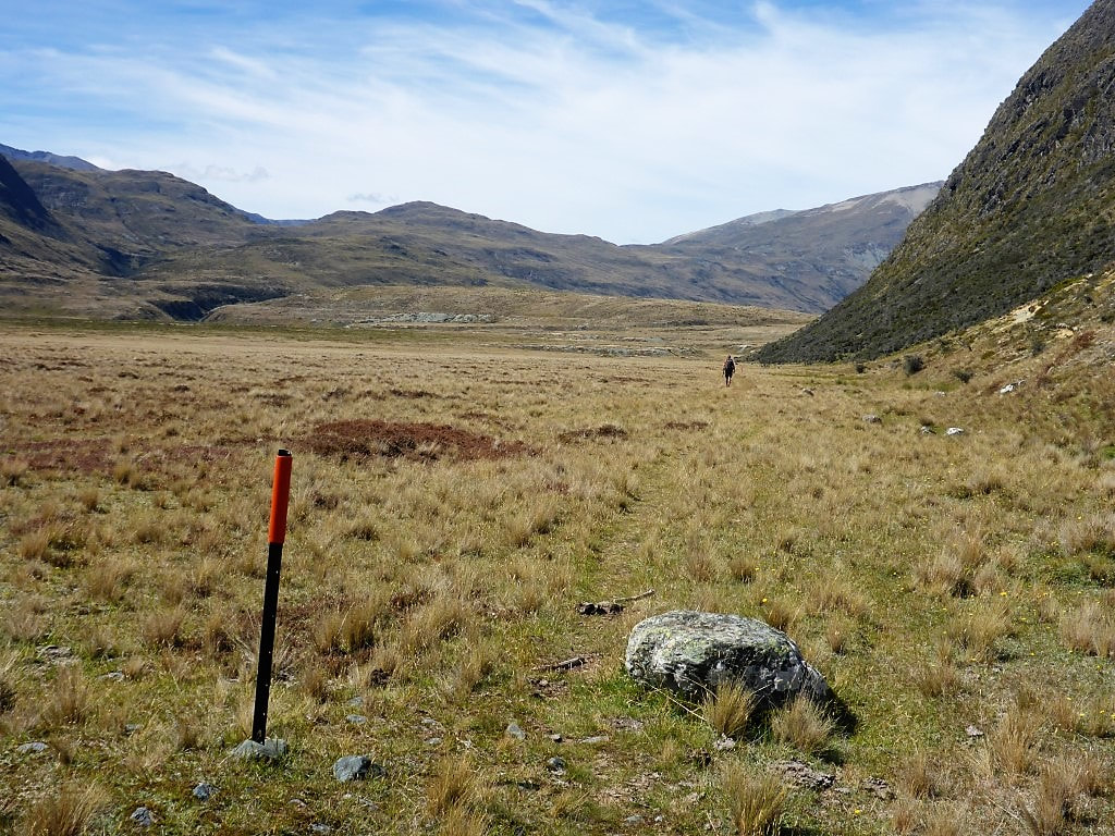 This bit was easy going - maybe it would be like this for most of the way? Yeah .... Nah!! 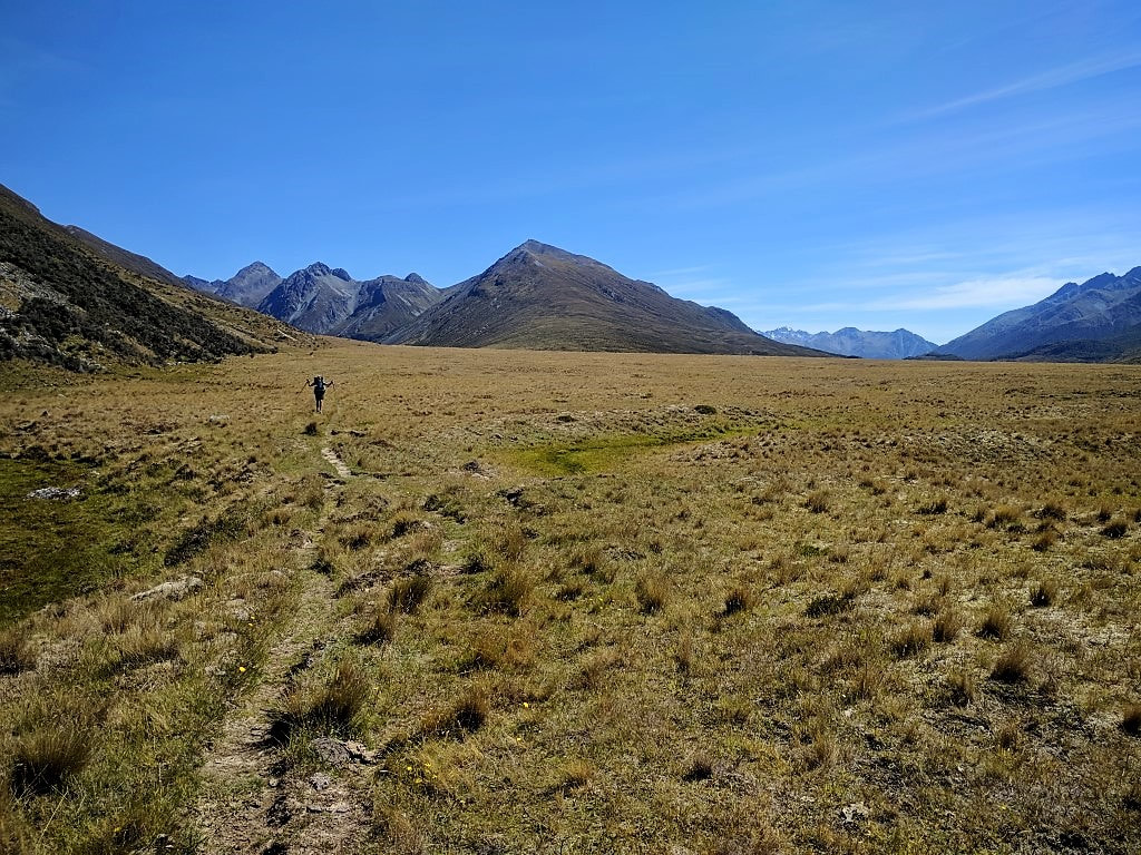 B celebrating the nice walking conditions here :-) 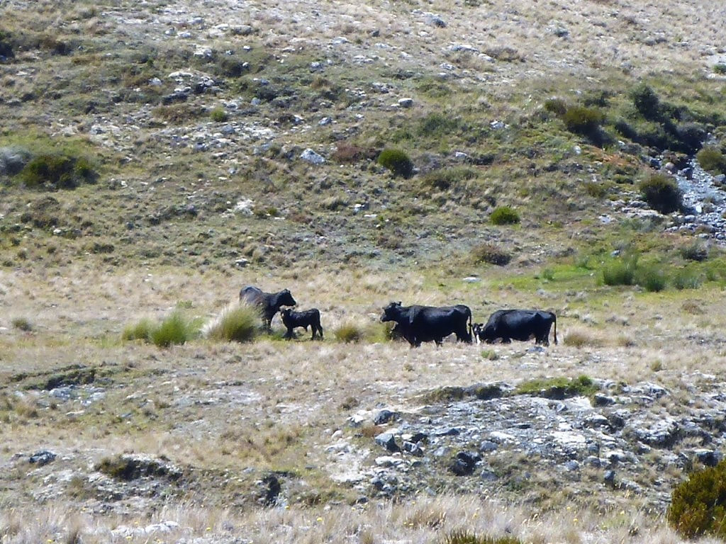 Back into farmed country. 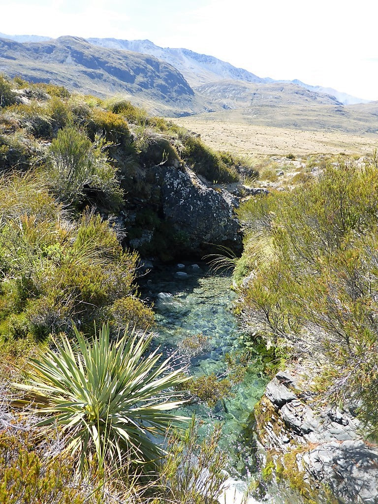 Nice clear stream along the way. Seriously?? The only time we have come to a fence without a stile or gate. Barbed wirw on top, so only sensible way was under without packs attached :-) B is more nimble than me so was chosen as the model for this particular photoshoot. 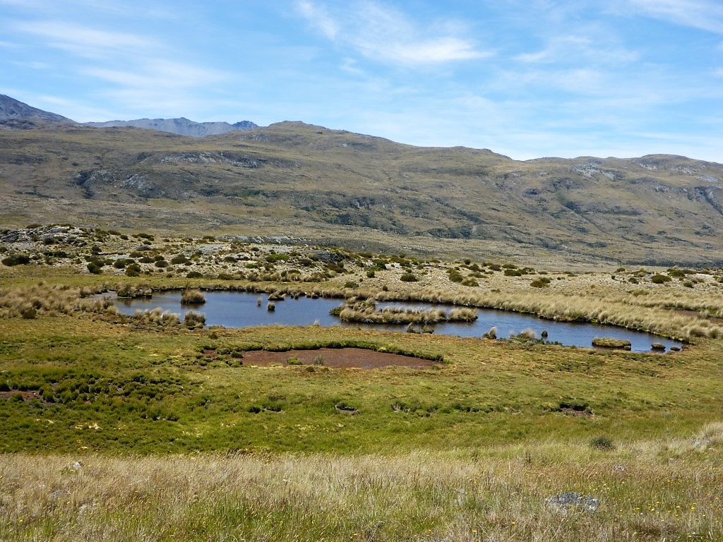 Another boggy pond to detour around. 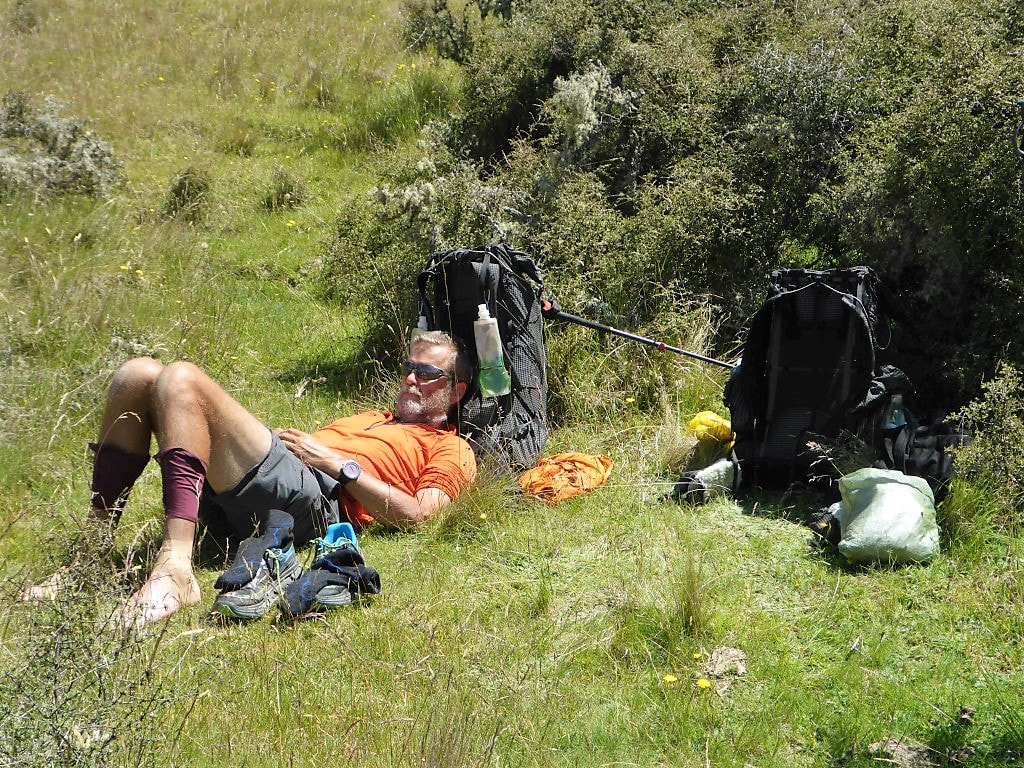 Lunch stop. With strapping tape on the left ankle and compeed/tape for blister on the right foot, a good time to give them some fresh air! 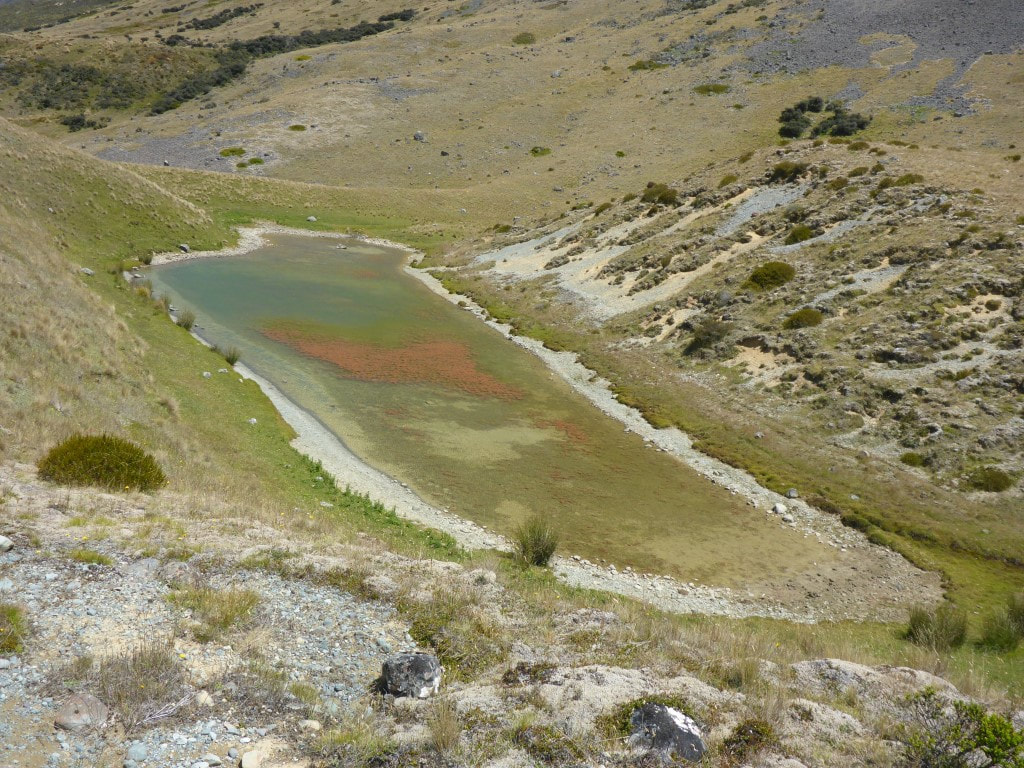 Shallow, and showing some algal growth. 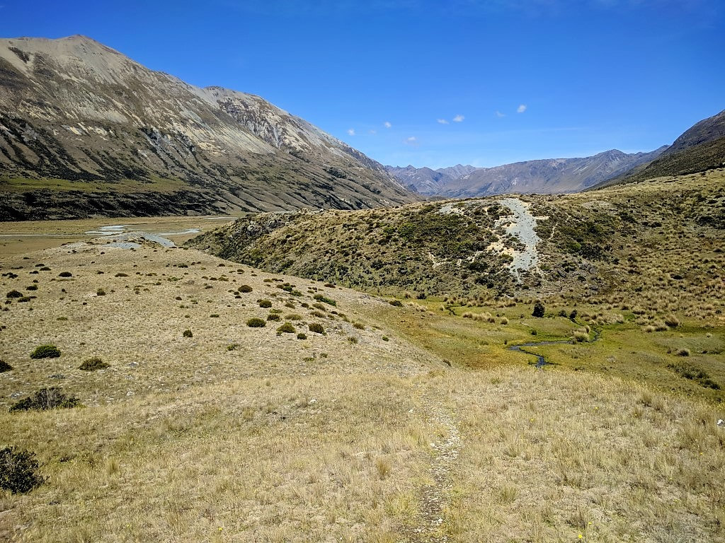 Then we randomly had to drop down, through the wet bit at the bottom, and up that gravel face on the other side :-( 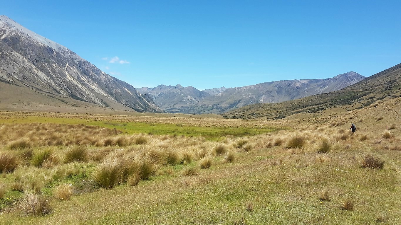 A little section of easier walking on the valley floor. 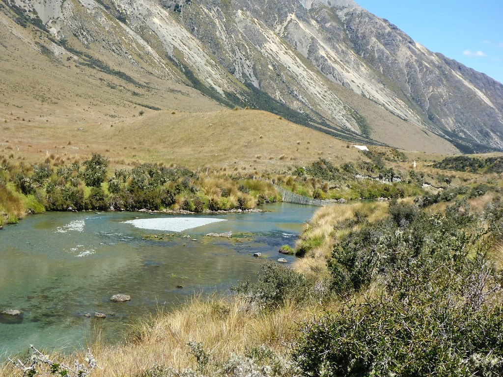 First glimpse of Boundary Hut. Also a substantial stockproof floodgate in the river. 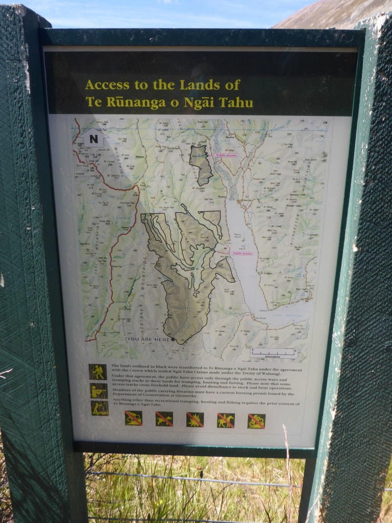 A fair bit of yesterday and today had been through Ngai Tahu lands. This was where we exited those, just before Boundary Hut. 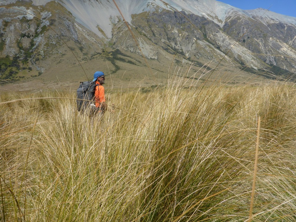 There was some pretty tall tussock to battle through as we neared the swingbridge. 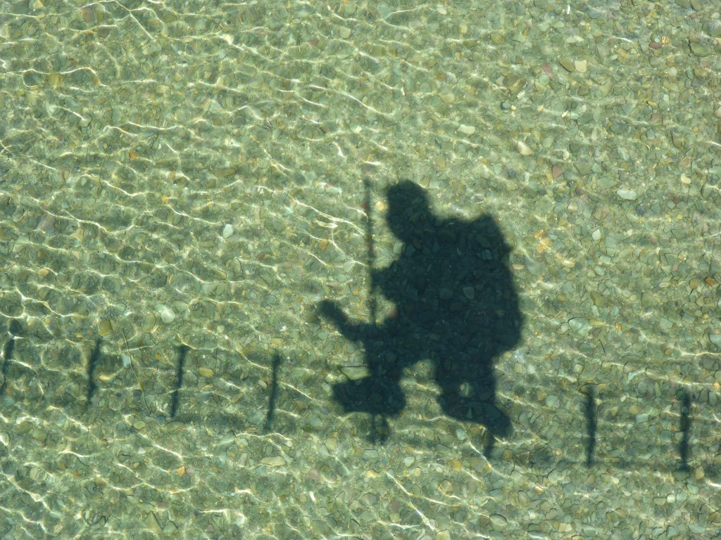 B's different take on crossing a swingbridge :-) 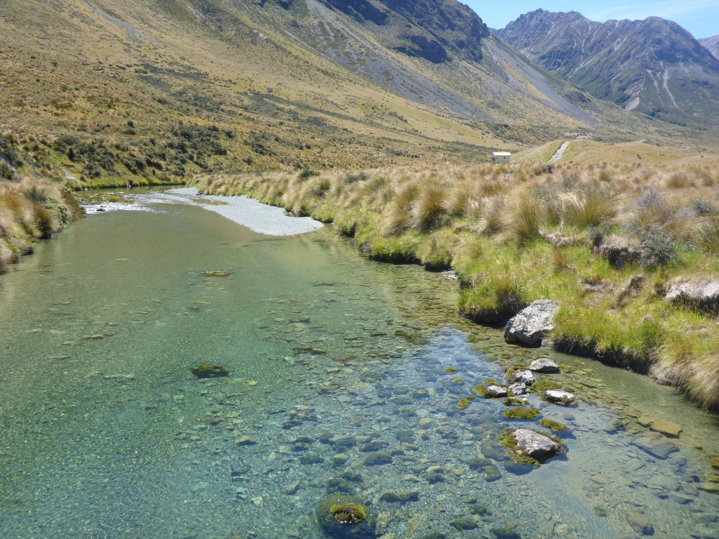 After the bridge we headed back 200m off trail to the hut. We rejoined the trail heading off towards Carey's Hut on a 4wd track and immediately ran into three guys on trail bikes - the only problem with getting so close to “civilisation”! The 4wd track comes as far as Boundary hut, with no vehicular access beyond that. It was only 6.5km to Carey’s Hut, but by now it was really hot so, with no shade, we started to feel the effects! At one stage I had even thought we could do another 10km to Mavora Lakes campsite but by the time we arrived at Carey's I was convinced it was a good place to stop for the day! The last 2.5km or so the track climbed above the Mararoa River on the hillside (up to 60m or so above the river at times), with a fairly sharp descent to the hut over the last little bit. David and Caesar had arrived a couple of hours before us as they are faster and don't stop much. They were lounging in the sun in a couple of deck chairs left at the hut! The hut is right beside the lake so the guys had already been down there for a “refresh”. B and I also took off down there once our packs were off. We both had a bit of a dip in the lake and rinsed out our clothes as well - walking in this weather is very sweat-inducing :-) We had a couple of visits from small groups of bikes - most of them are camped down at Mavora Lakes campsite. About 1800 we also had a couple of American nobos, John and Katie, drop in for a chat. They decided to push on the 1.5 hours to Boundary Hut and maybe try and get out to the Greenstone carpark the next day. So it was the four of us for the night in what is quite a pleasant 6-bunk hut. 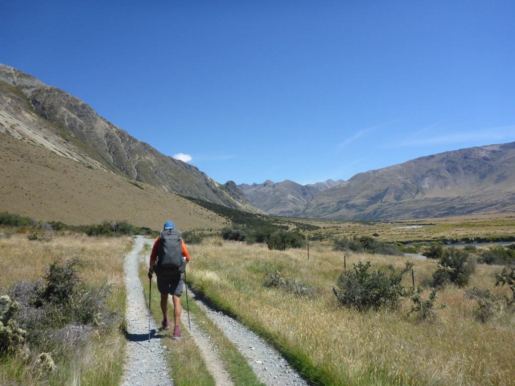 Not atypical of our initial track after the hut - although there were quite a few big puddles (made by 4wd traffic) on the track to get around in places. 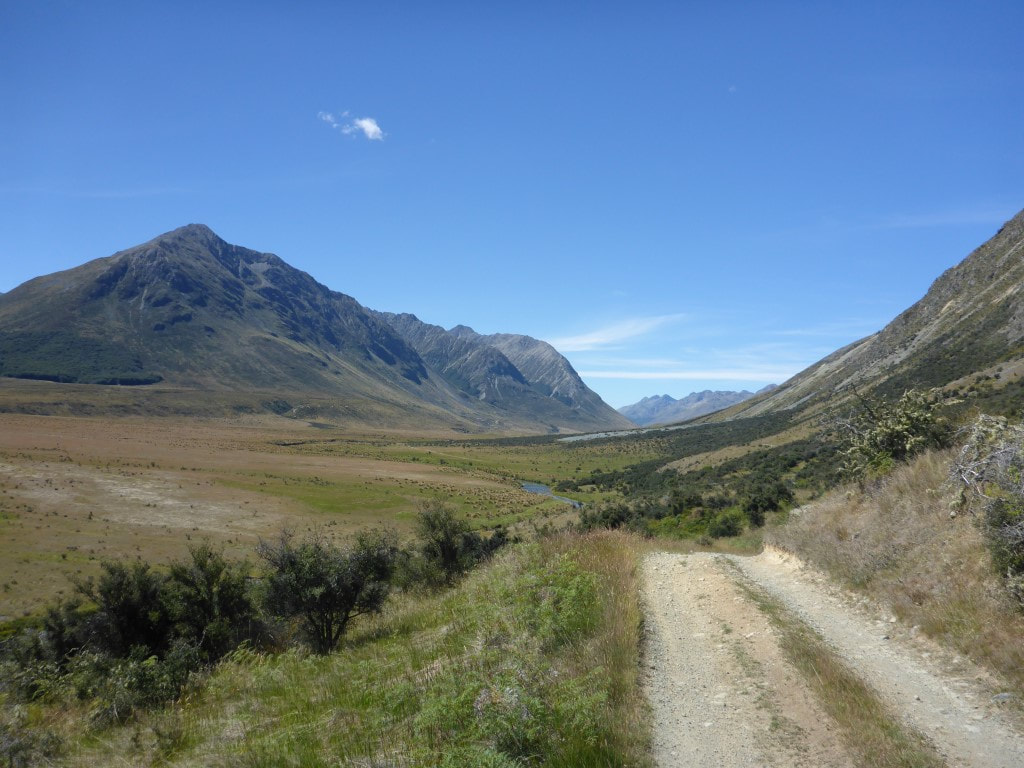 Climbing up above the river for the last 2.5km or so to Carey's Hut. 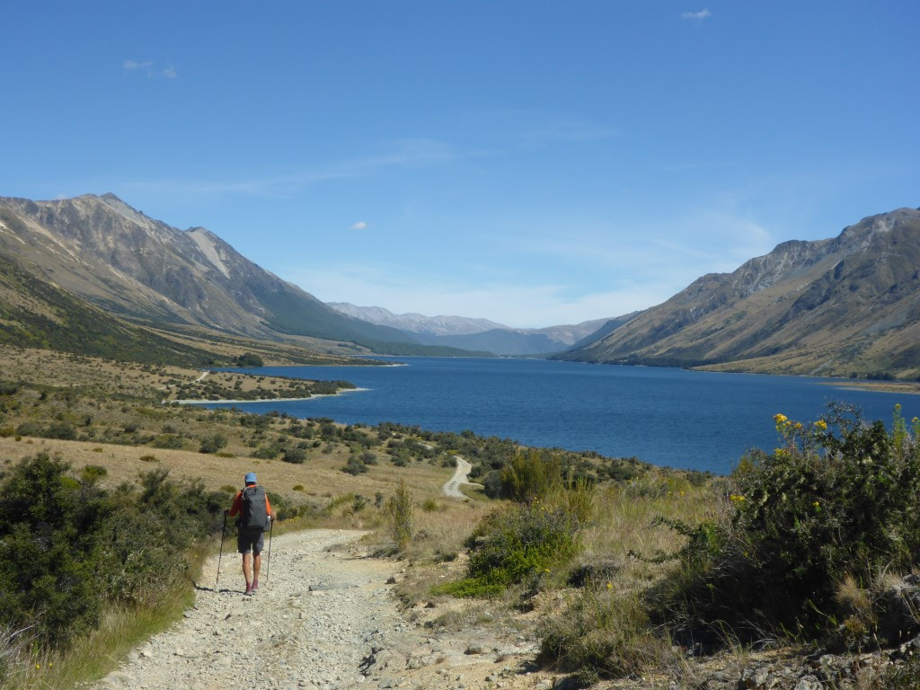 Looking down North Mavora Lake. Not far to go, as the hut is near the head of the lake. 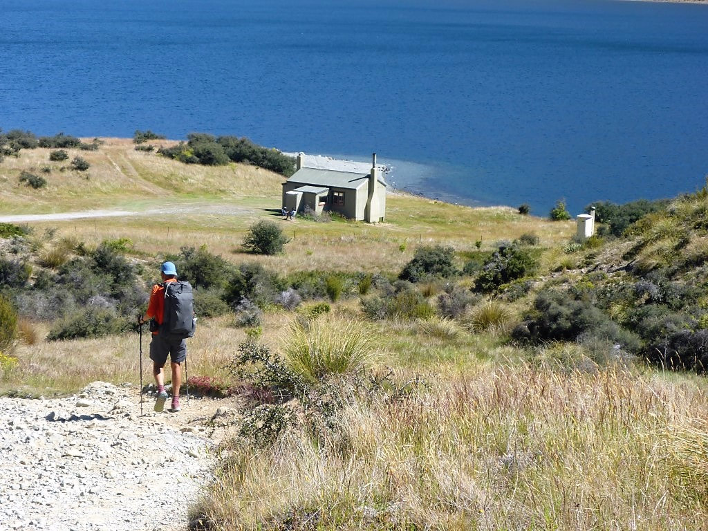 Dropping down to the hut. Could see the guys sitting in the sun! 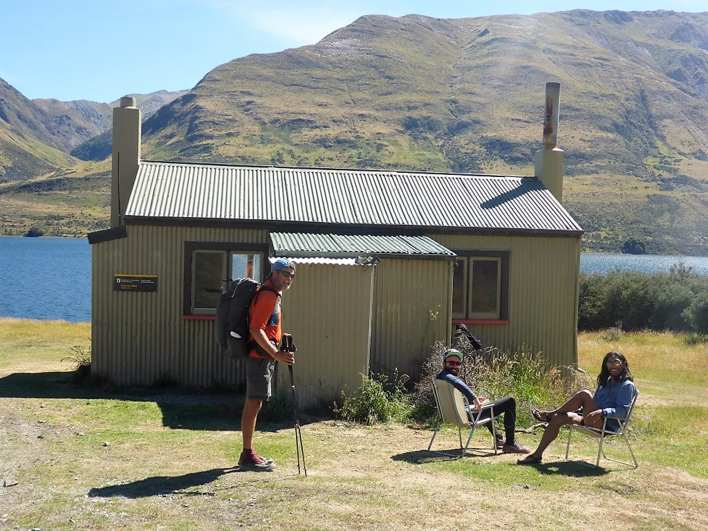 Sheer luxury :-) 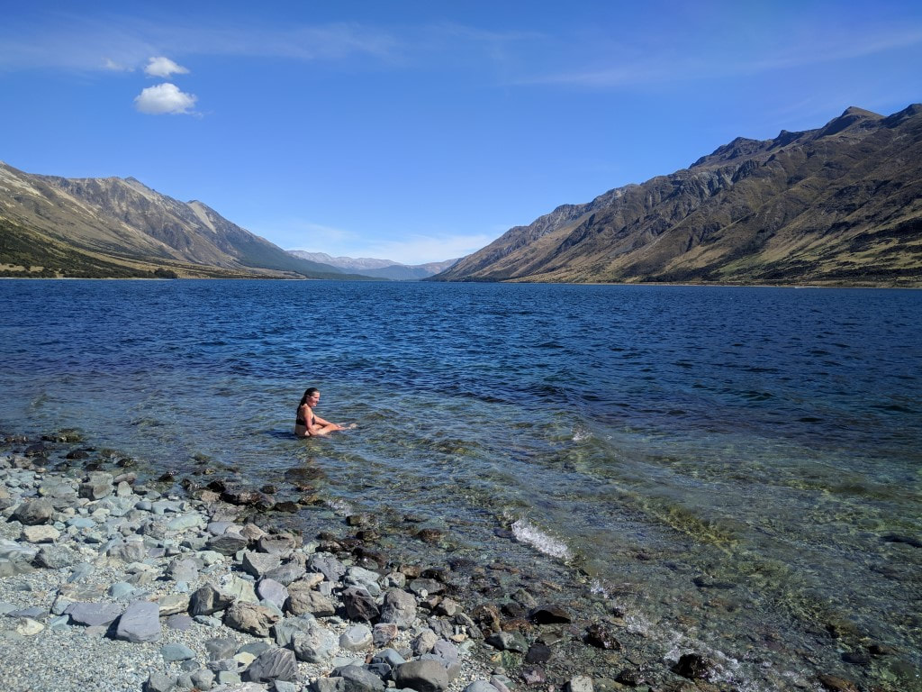 B taking a nice dip in the cool lake - very refreshing after a pretty hot day's walking.
1 Comment
21/4/2021 17:50:34
I love how shallow that pond connecting to the lake is, clear too. Could there be any fish there? Wanna experience this too, but not on summer I guess. - Kevin Leave a Reply. |

AuthorBelinda and Anthony (aka Tony) Hadfield made a decision, in their late 50's, to do something a "bit different" and walk New Zealand's 3000km Te Araroa Trail over summer 2015/16 - although updates will now tell you that this plan will take longer now!!. As the old saying goes - "don't leave home 'til you've seen the country"!! Archives
January 2018
Categories |
 RSS Feed