|
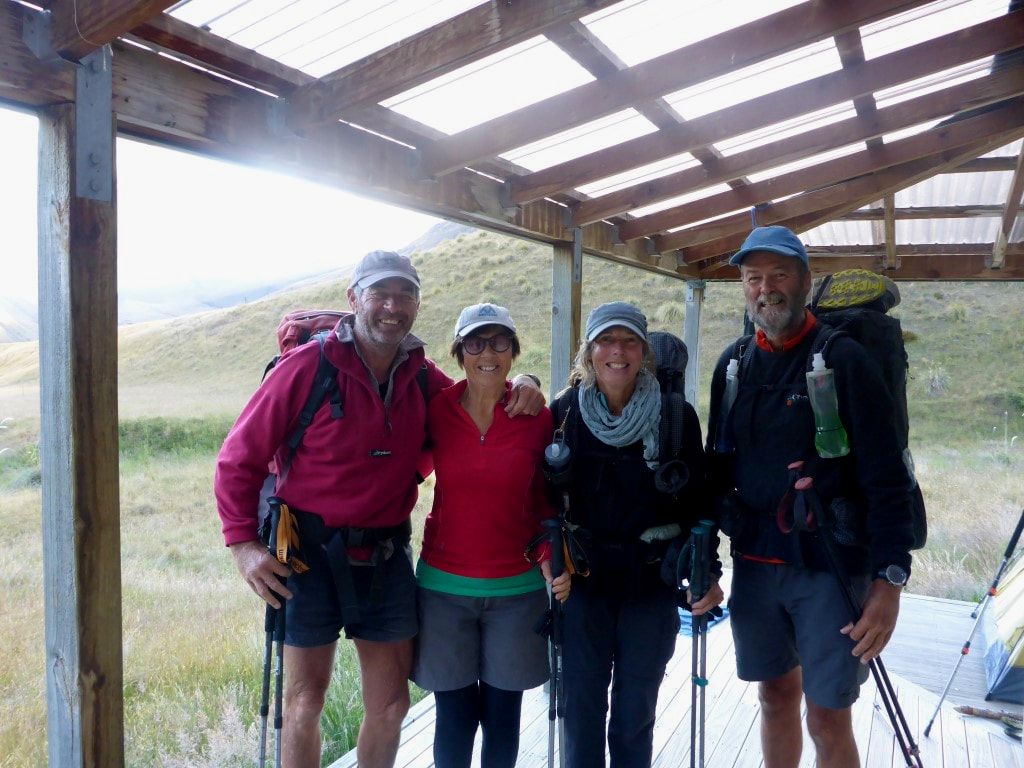
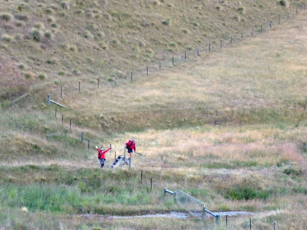
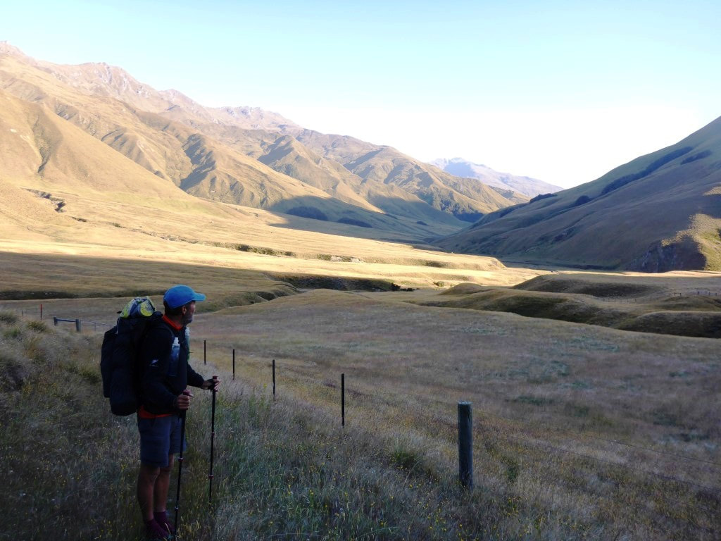
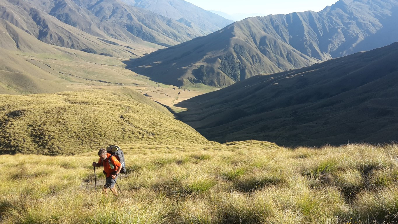
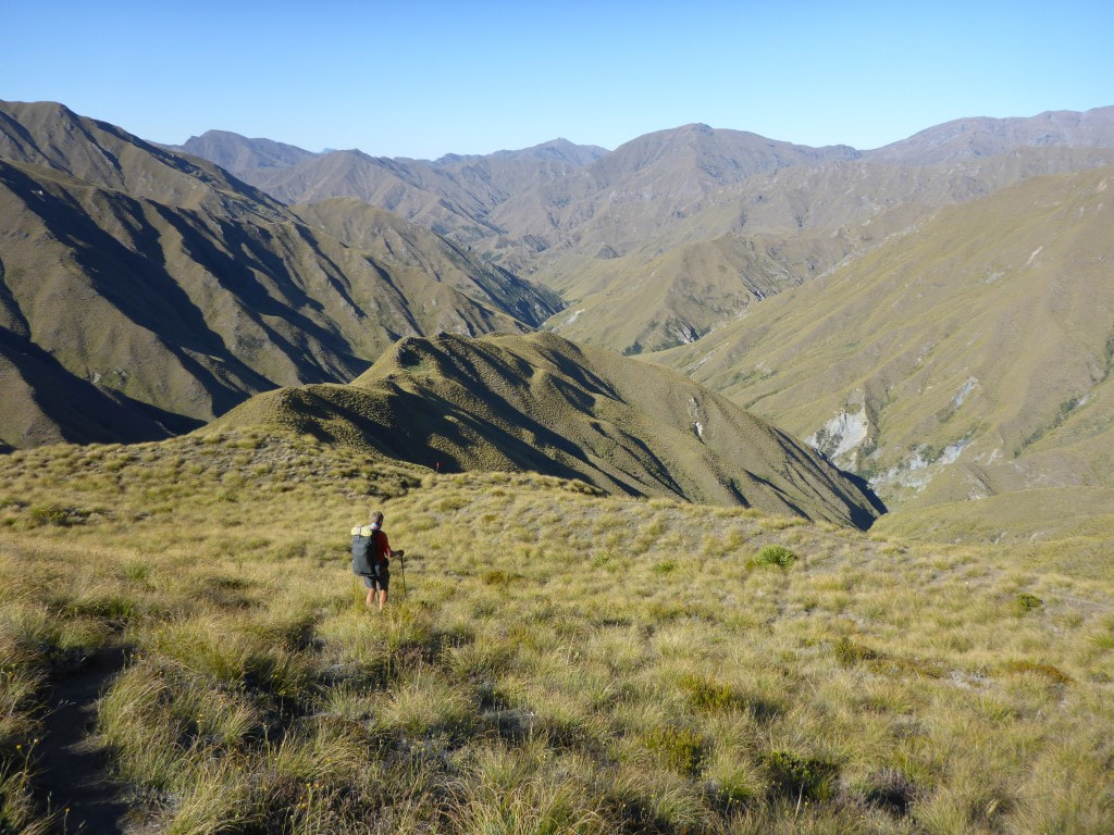
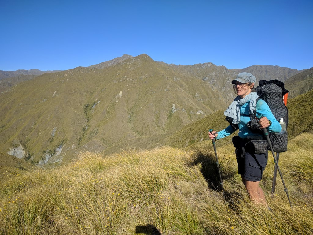
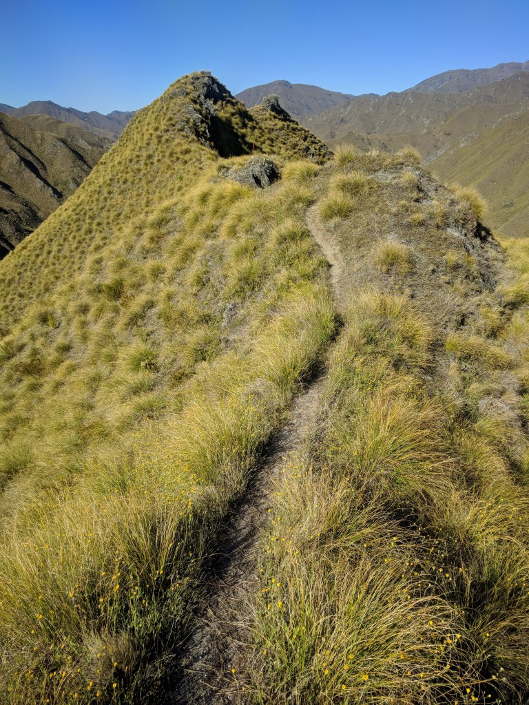
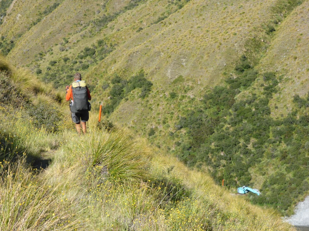
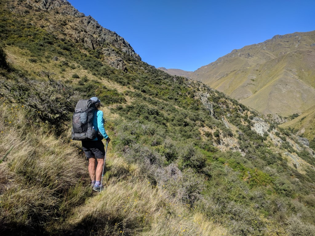
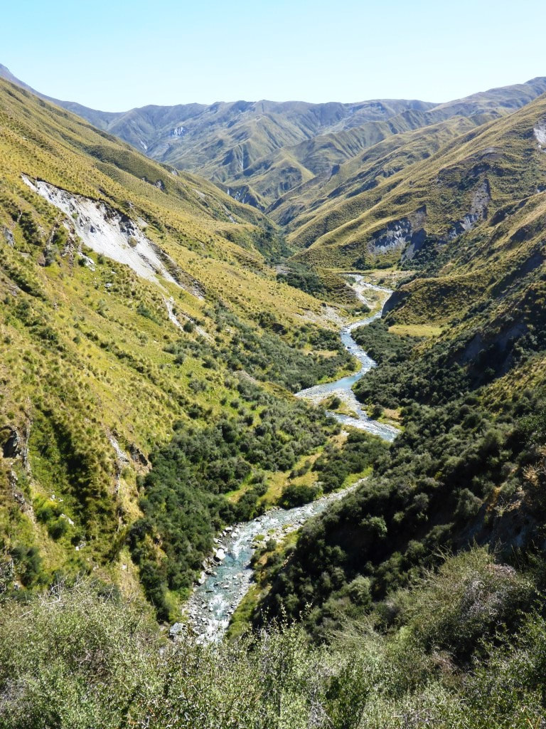
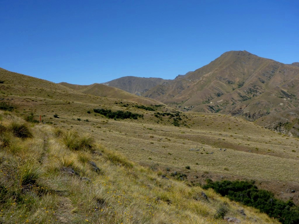
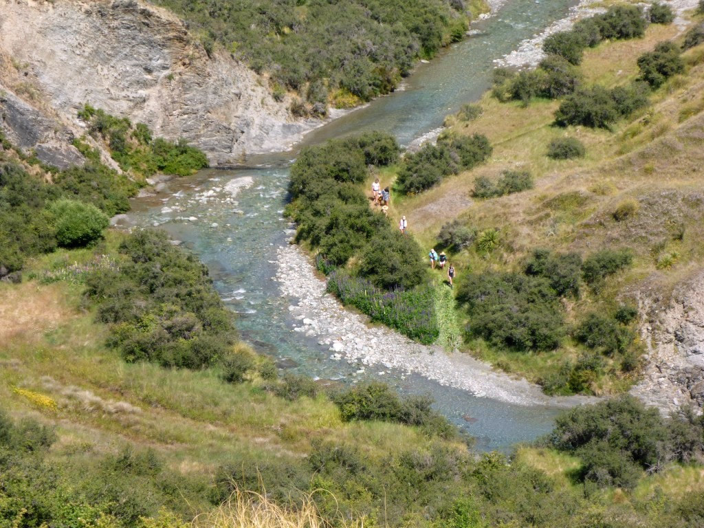
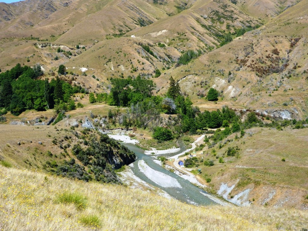
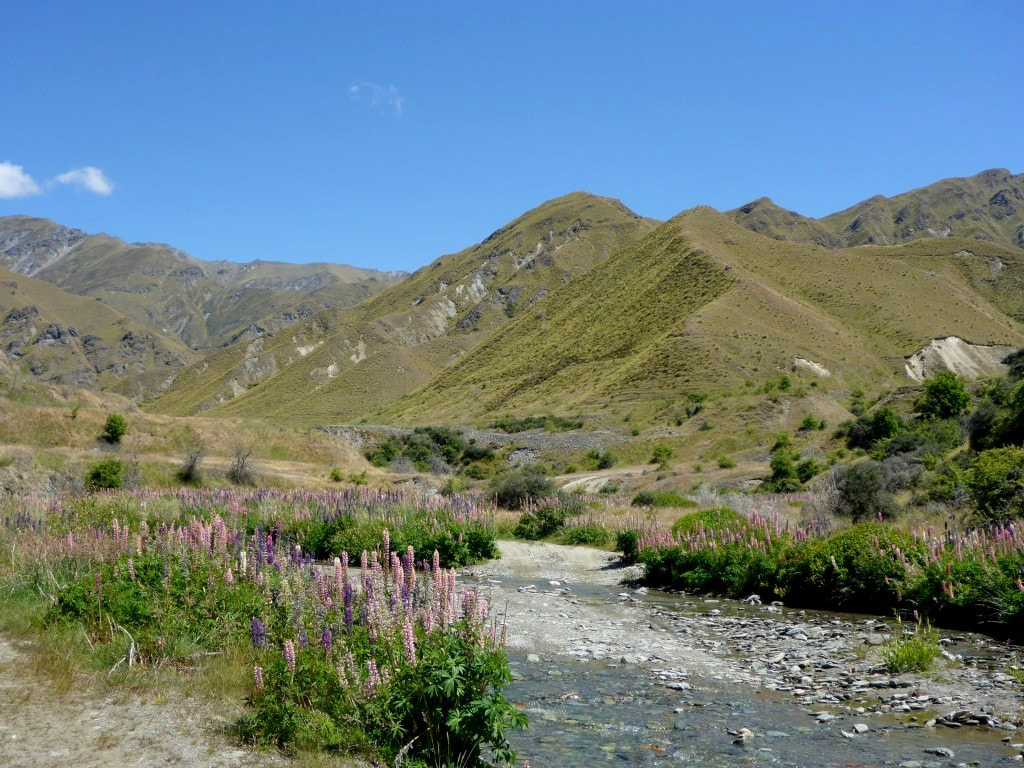
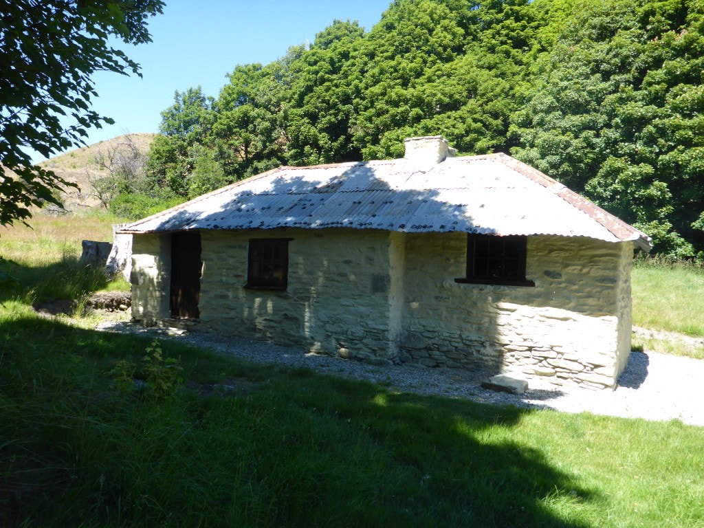
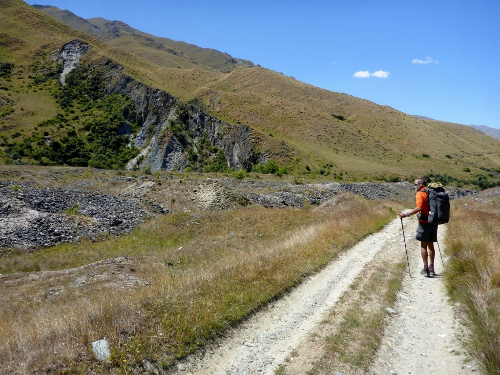
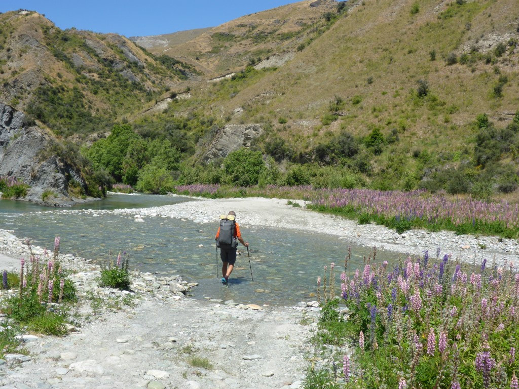
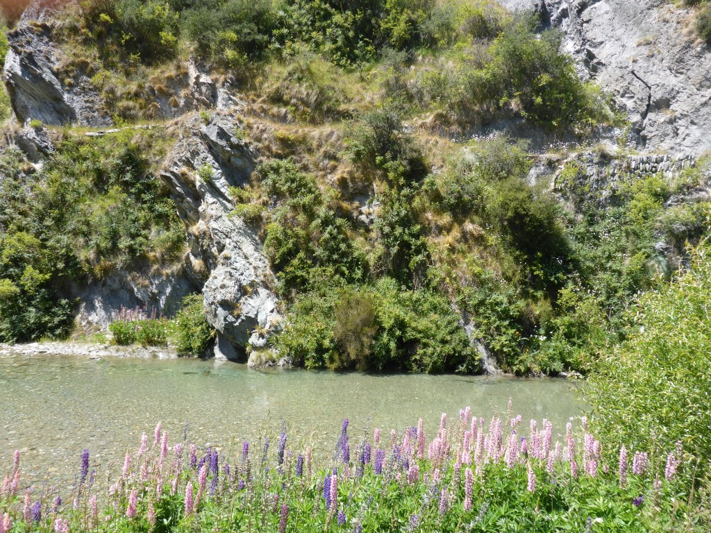
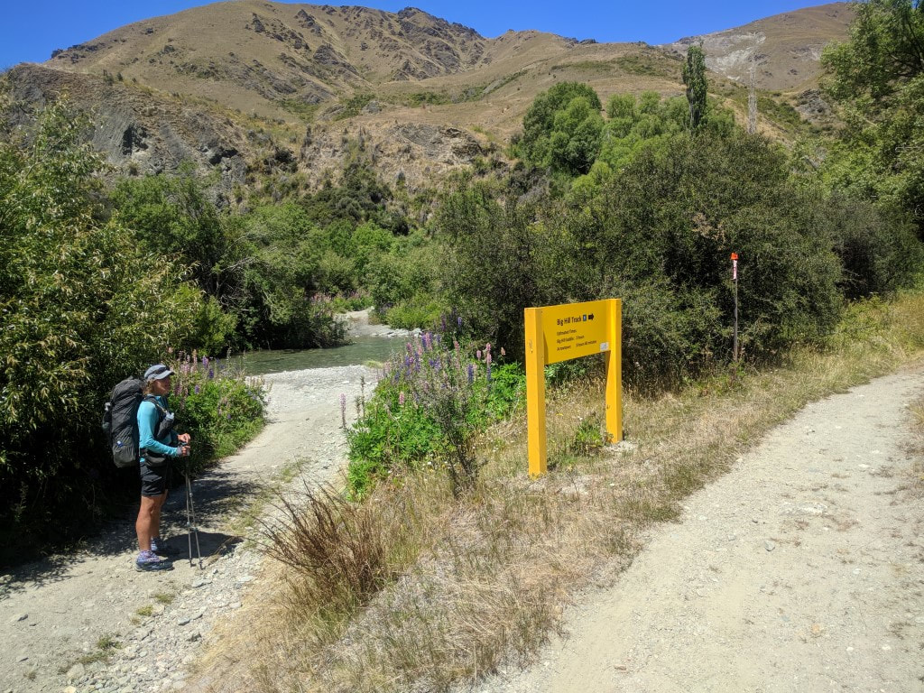
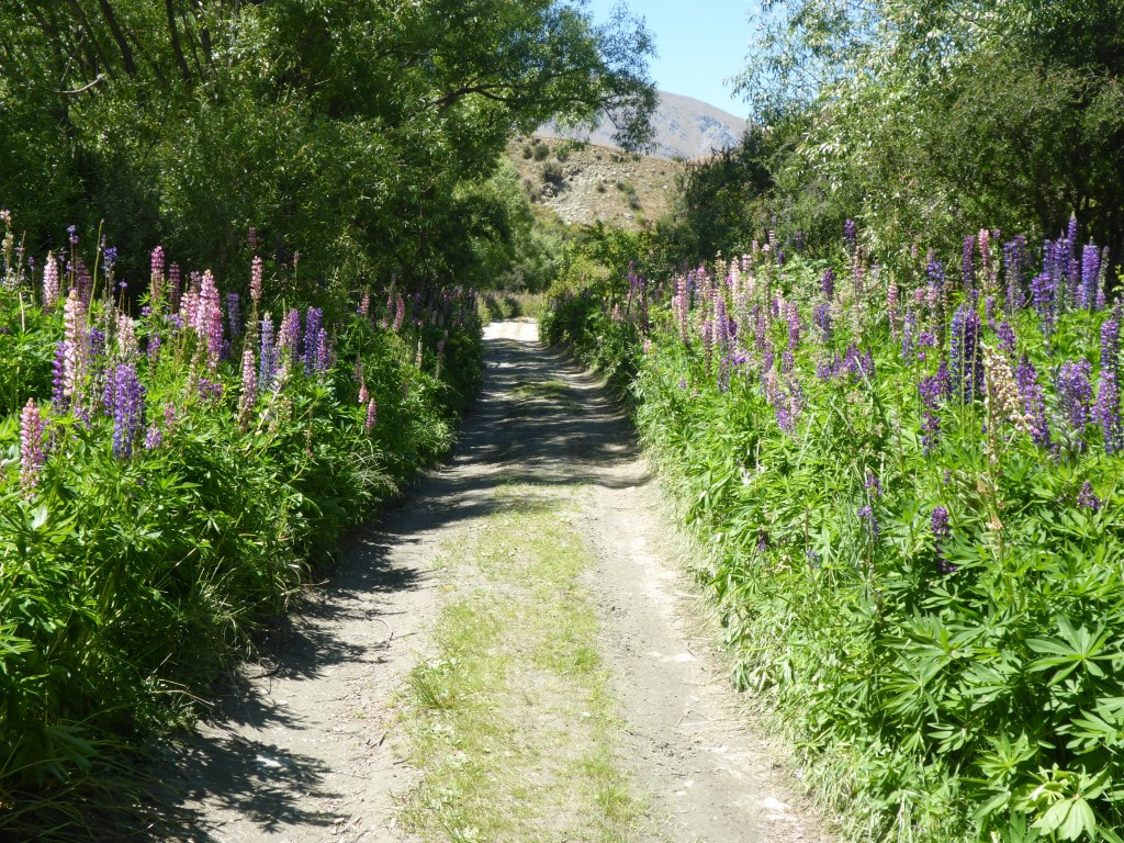
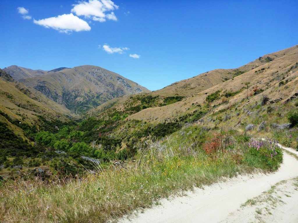
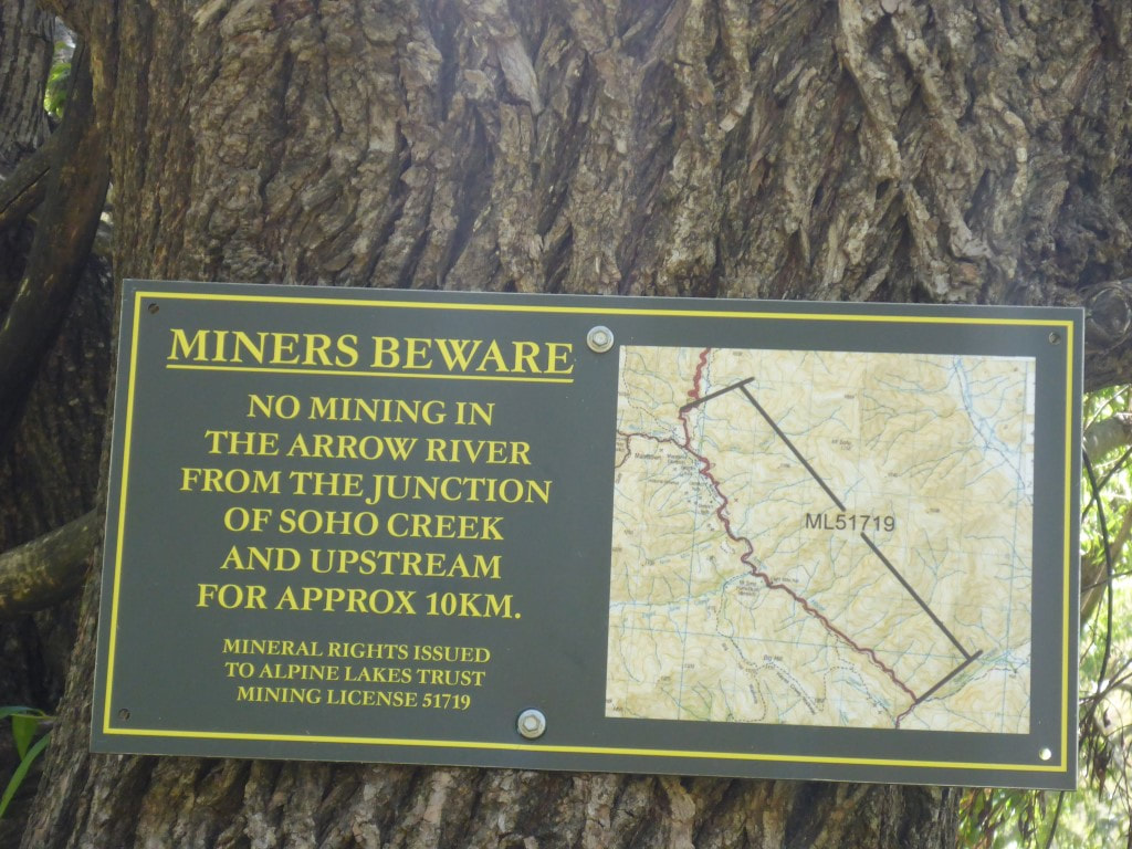
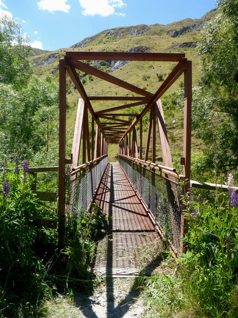
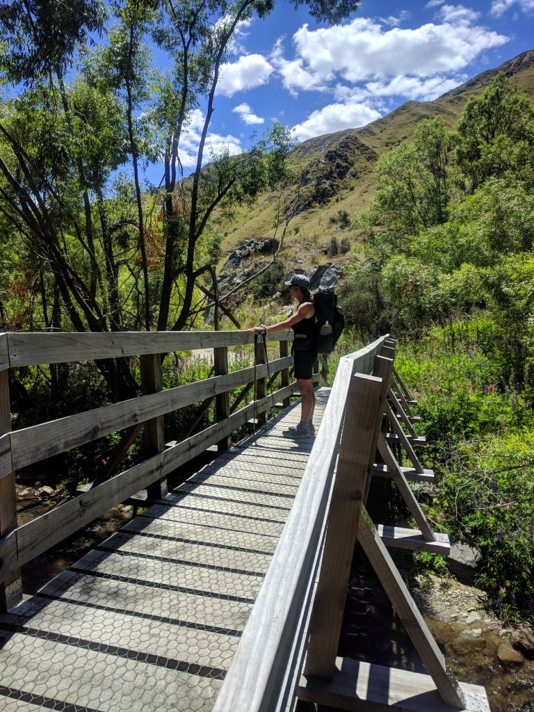
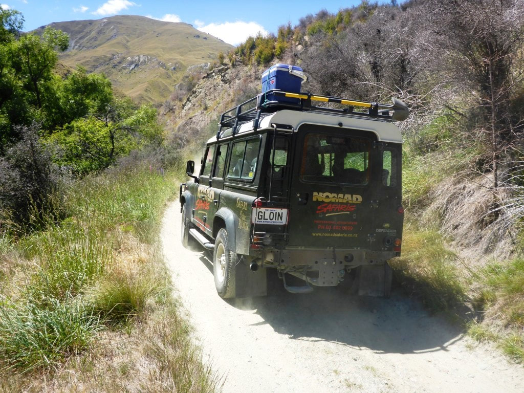
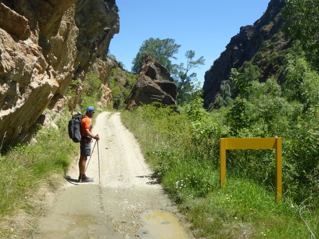
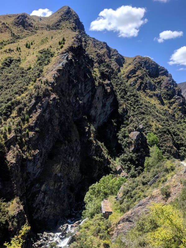
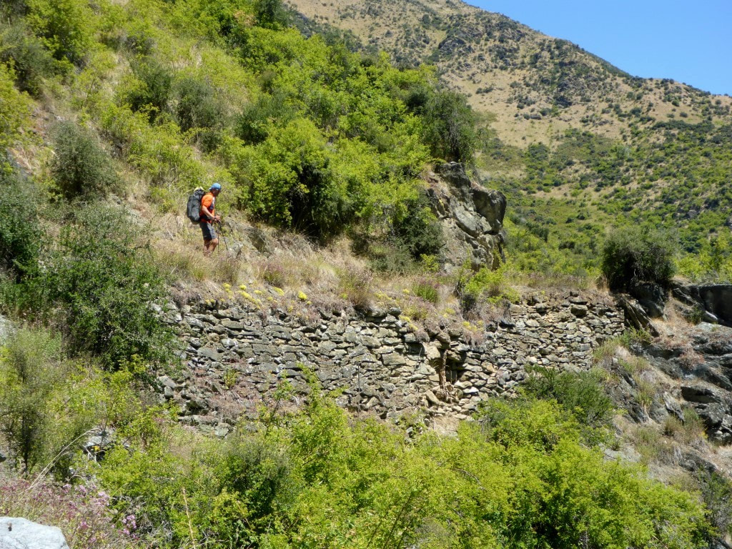
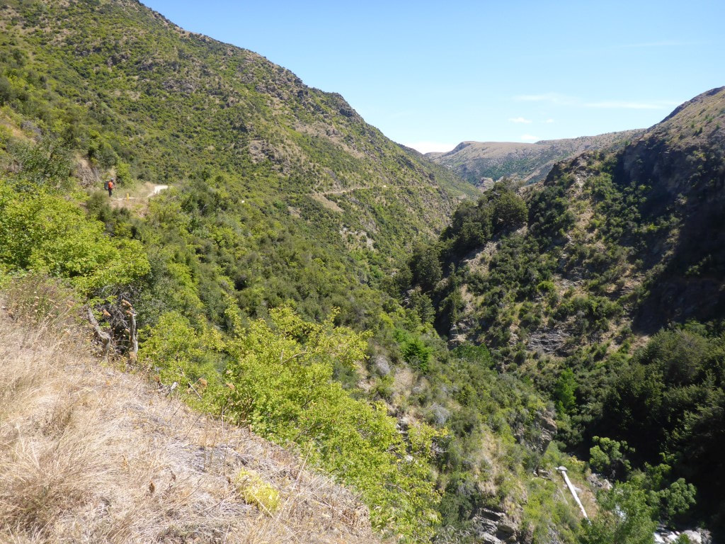
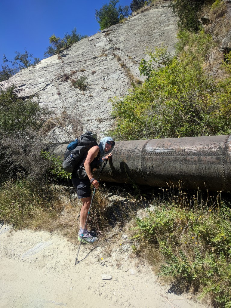
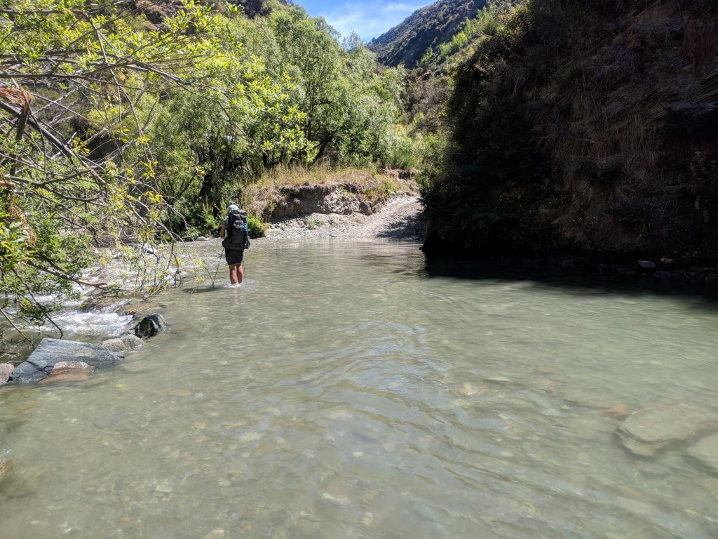
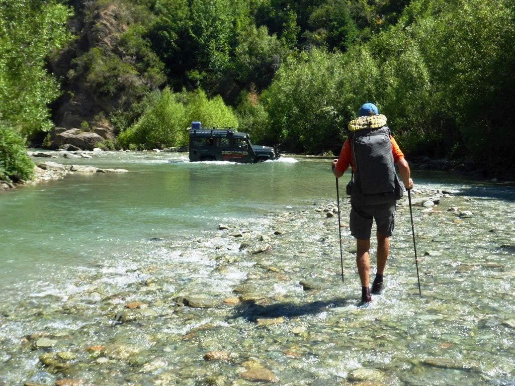
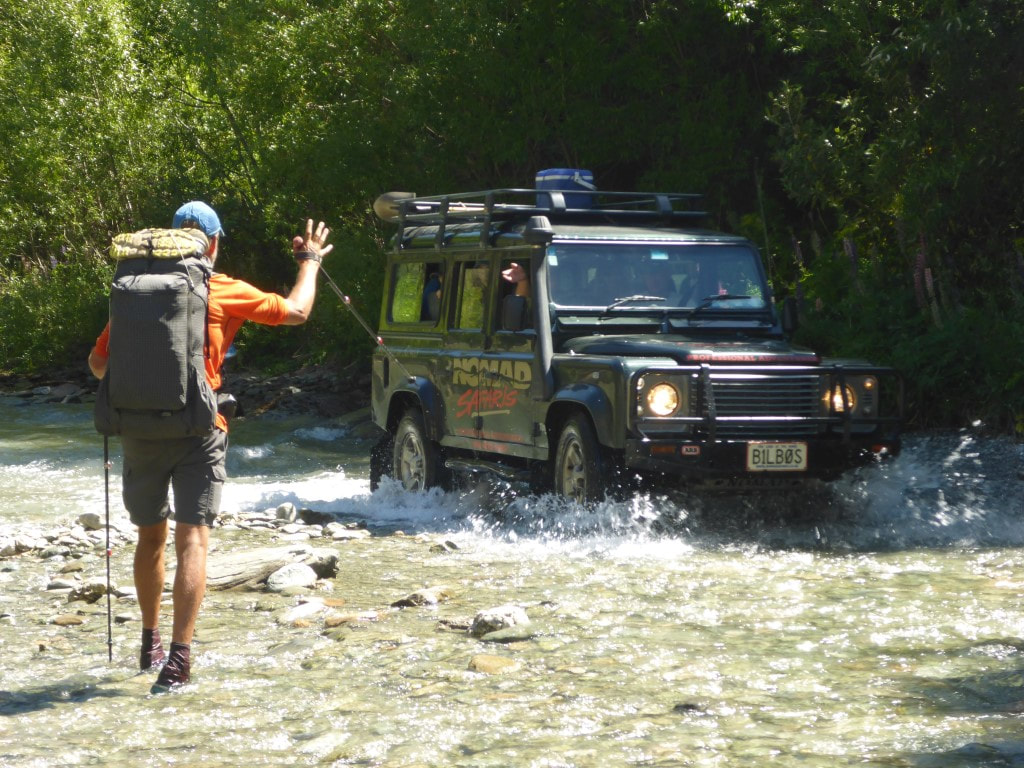
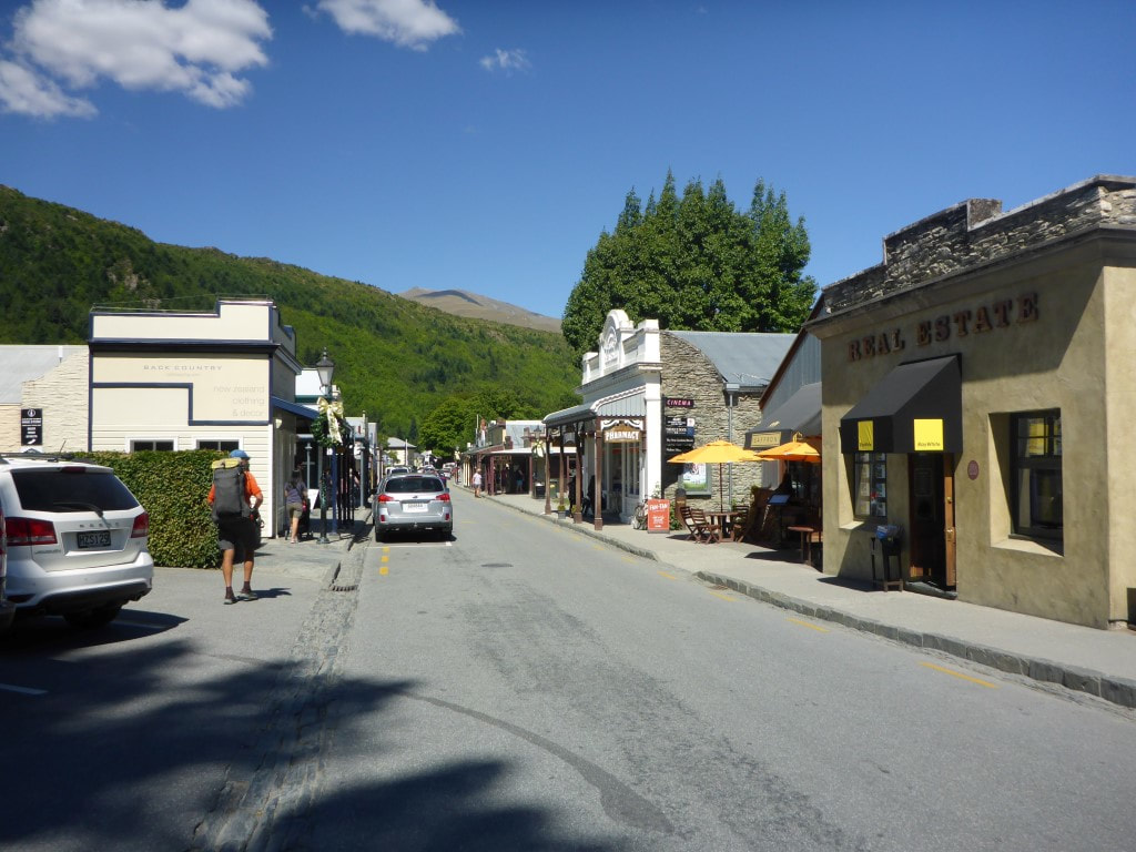
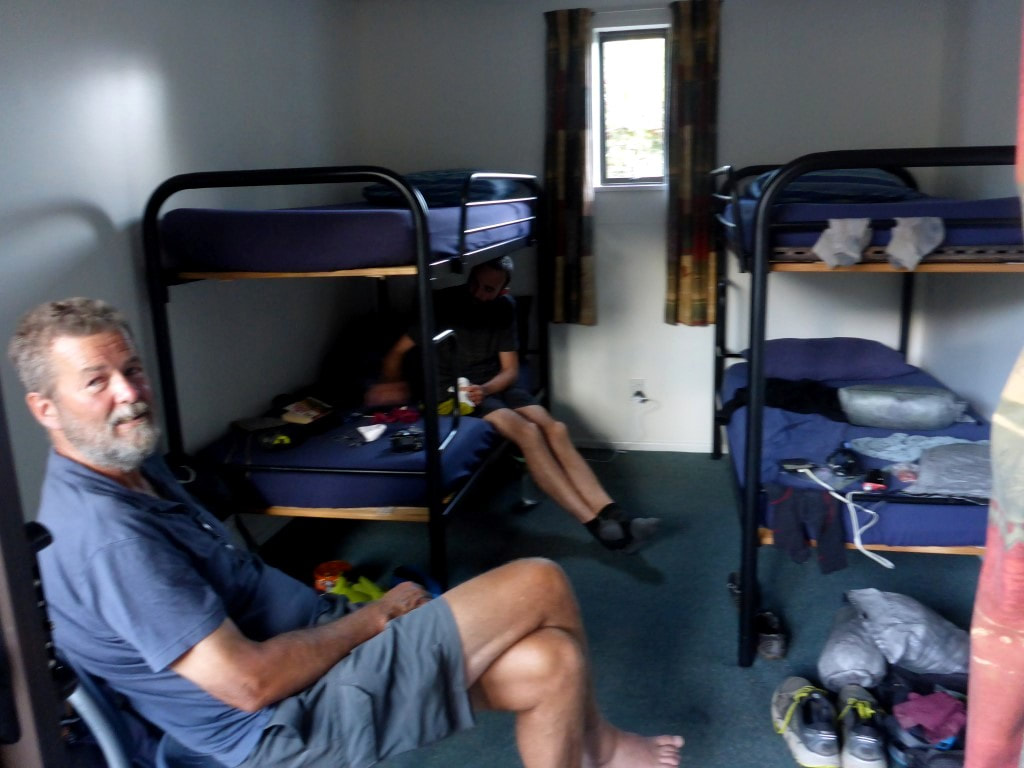
Got up at 0600 with a bunch of others, including Bruce and Chris, and got away about 0715. Today turned out to be almost 25km in 7h45 walking time. The GPS track is here. Bruce and Chris headed off northbound to Highland Creek and beyond. We really enjoyed meeting them, and hope to catch up with them again sometime in the future. Our sobo journey took us pretty much straight into a 540m ascent to Roses Saddle - initially a bit of a zigzag partly on an old farm track, then into some direct ridgeline climbing. Even with our usual regular micro breaks we were at the saddle after 1h15 - pretty much all downhill (I'm generalising!) from here. It was a fine sunny day, although cool to start, and we stopped after 15 minutes to strip off as we struck the sun! Across the top the wind was quite cool so we just kept pushing on to warm up. After 2 hours we stopped for our regular snack break in a nice little sheltered basin. From here we carried on down, eventually dropping down a steep little face into the Arrow River valley. As we were walking down this face, another Karearea rose up out of the scrub in front of us and flew over to the next ridge. At the bottom we could see an excavator and an old hut (Bruce had mentioned this last night). It was here that we made a bit of an error. We hadn’t read the notes before starting out (rookie mistake) - they said that if the river is OK then it was better to just follow the river bed. Belinda was keen (even without having read the notes!) but I thought my sore foot (the deep blood blister underneath the ball of my foot) wouldn’t handle the constant walking over stones in the riverbed. Anyway, we decided to take the high water track on the true left of the river. Not a good idea! It was the shittiest (really the best word to describe it) bit of track that we had experienced to date (perhaps a much less challenging version of the Flood Track up the Otira that we avoided). It went up and down, often bashing through scrub and bush, with sometimes limited ground trail to try and follow. Eventually it broke out into easier tussock, but we were not happy by the time we reached the river crossing at Macetown!! It also dawned on us that this was the section that Bruce mentioned last night where it was better to use the river - we simply hadn’t connected the dots. We would advise anyone coming through (nobo or sobo) to definitely take the river option between here and Macetown if water levels allow. We eventually reached the crossing over the river by the campsite at Macetown and joined the 4wd track on the other side. We had a little look at the historic remains as we walked through Macetown. This can be reasonably busy as it is accessible by 4wd, so we had to watch out for vehicles for much of the rest of the day. So we then effectively followed the Arrow River into Arrowtown - we had decided that we would take the alternative river route rather than going over Big Hill, as the bodies needed a bit of a rest from climbing!! We were in and out of the river as the 4wd track often crossed the river and sometimes went down it for short periods - so the feet were cool!! We did take a couple of detours off the road when offered - these often took us over or around river crossings (for walkers and cyclists). We passed an old water storage/collection system that we thought might be defunct but we followed a large pipeline down the road and river, hearing water in it at times, before eventually finding a sign near the end of the track saying it was an irrigation scheme - so definitely still in use! We got back onto a local walkway (off the road) for the last bit into Arrowtown and found our way to the campground, which was a little off trail. We had only been able to book a tentsite a couple of days ago but, as we arrived, David met us as he was heading uptown. He had hoped to see us as he had a four bunk room all to himself and wanted to ask if we wanted to share it. So we jumped at the chance (thanks again, David :-))!! We sorted out the bookings at the office and then the three of us went uptown for a lovely meal (and a couple of beers in my case!). We had spoken with our friends at Gibbston, Jane and Chris, who we were staying with after Queenstown (for a rest day!) and they suggested leaving much of our gear at the campground to be picked up by them or one of their friends. So we thought that was a great idea to have a “slack pack” day to Queenstown tomorrow!! As he is in no hurry, David is planning to walk with us tomorrow as well.
0 Comments
Leave a Reply. |
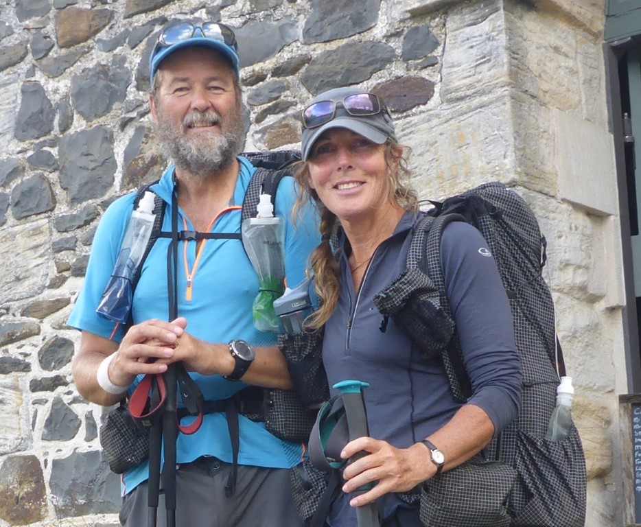
AuthorBelinda and Anthony (aka Tony) Hadfield made a decision, in their late 50's, to do something a "bit different" and walk New Zealand's 3000km Te Araroa Trail over summer 2015/16 - although updates will now tell you that this plan will take longer now!!. As the old saying goes - "don't leave home 'til you've seen the country"!! Archives
January 2018
Categories |
 RSS Feed