|
We managed to make an 0700 start. We achieved 21.6km today in 6.25 hours walking, arriving at Top Timaru Hut at 1430 - where we decided on balanced to stop for the night. There day included over 1100m of ascent and 900m descent - not so much flat!! The GPS track for the day is here. The camera seemed to have produced some pretty washed-out shots today (moisture?) - I have tried to manipulate them a little to improve the look, but I'm no expert. My phone camera was a little better behaved! It started raining lightly at around 0200 and was still raining lightly when we woke at 0530. We fluffed around in the tent packing stuff up as usual and, miracle of miracles, it stopped raining about 0600 so, while the tent was wet, we could pack up and have a cuppa in the relative dry. We had a short walk alongside our stream before climbing up onto a terrace and starting to follow a good farm track. We progressed steadily as the initial climbing was gentle, and reached the private hut (with toilet!) after 8km and 2 hours walking, so a pretty good pace to start. We had already climbed from 700m at our camp to about 900m so only another 780m to go up to the saddle below Mt Martha (1684m asl)! 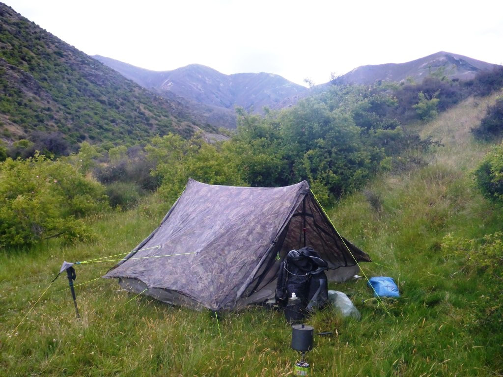 Morning at the tent site. 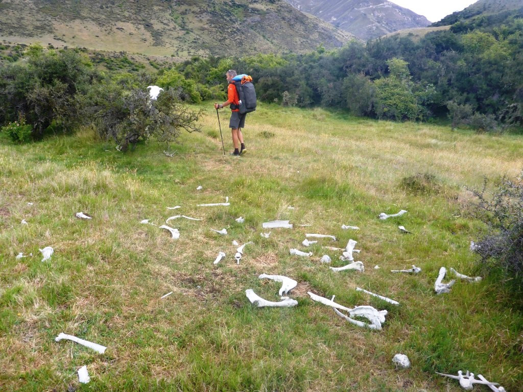 Just starting out - some wag had placed the cow skull on top of a bush. 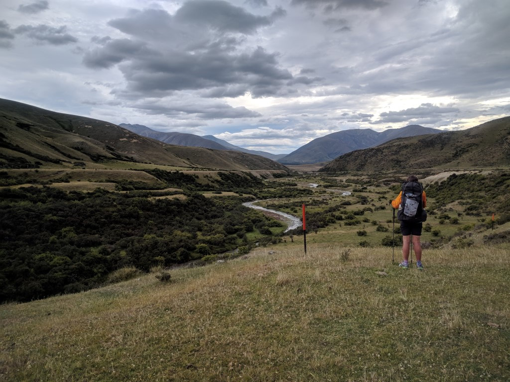 Heading up the valley alongside Avon Burn initially. 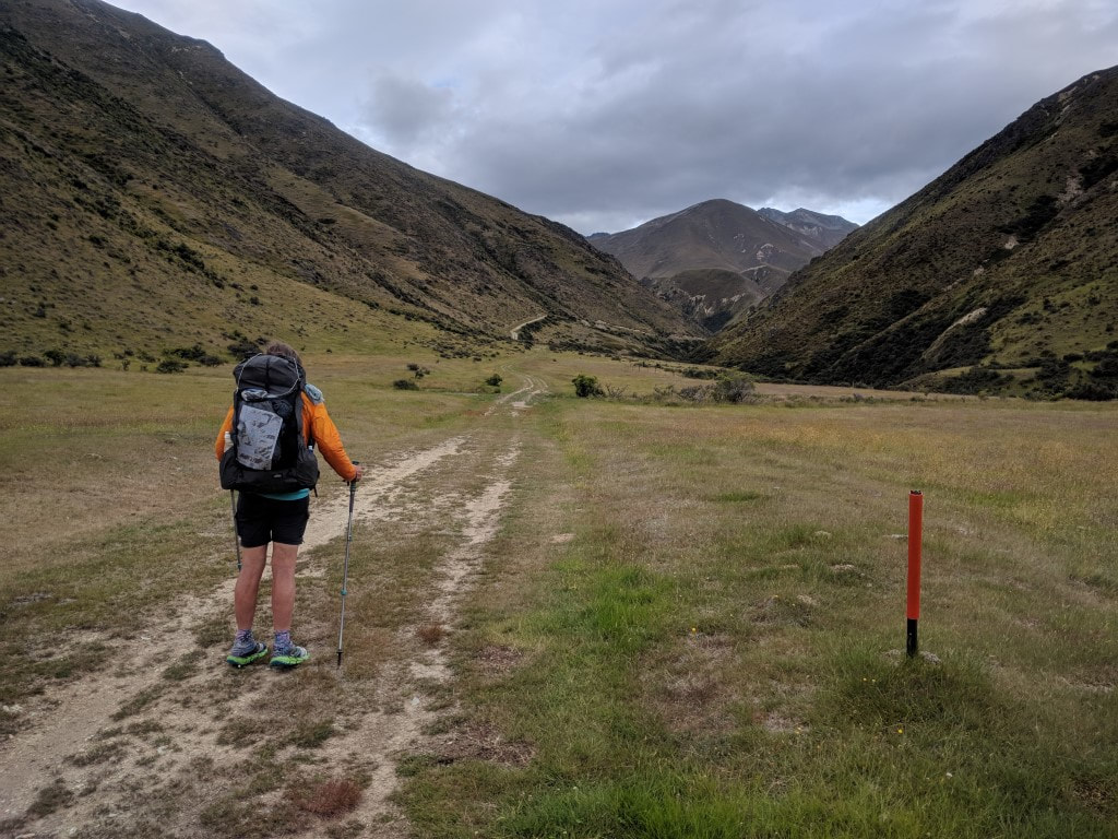 The farm track provided good underfoot conditions today. 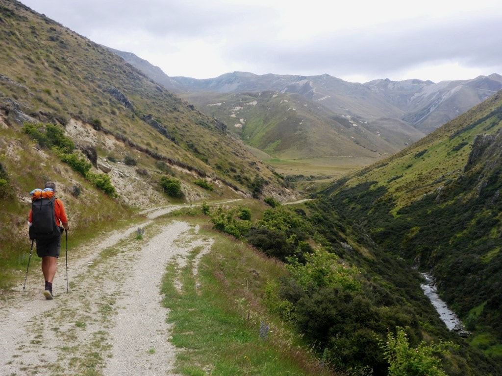 Getting a little hillier, but still a good track. 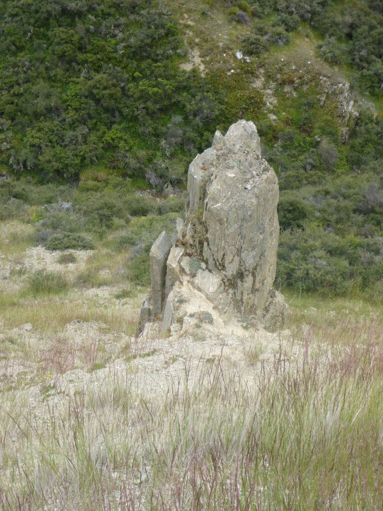 Sticking out like a sore thumb! 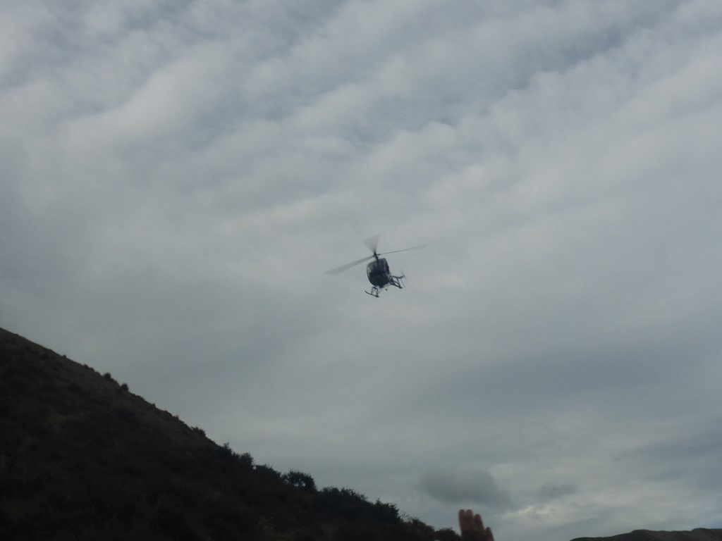 We had heard some helicopter activity - then it flew down the valley over us. B managed to get a shot of it. 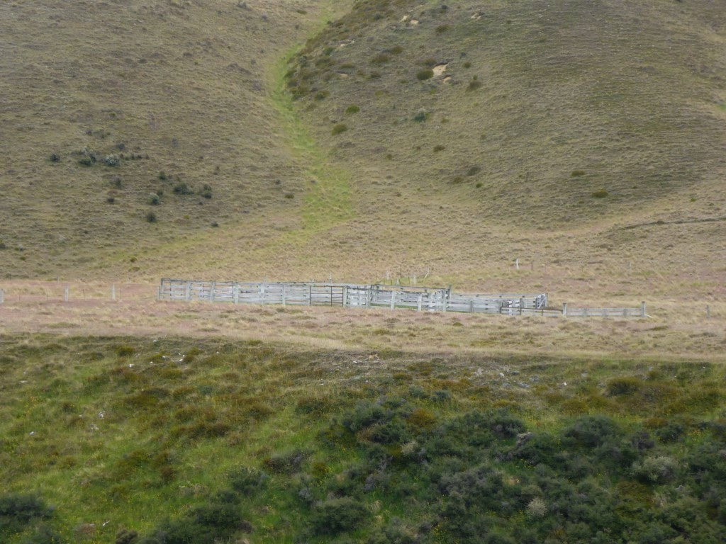 A set of yards in the middle of the farm (this bit is still farmed I think). 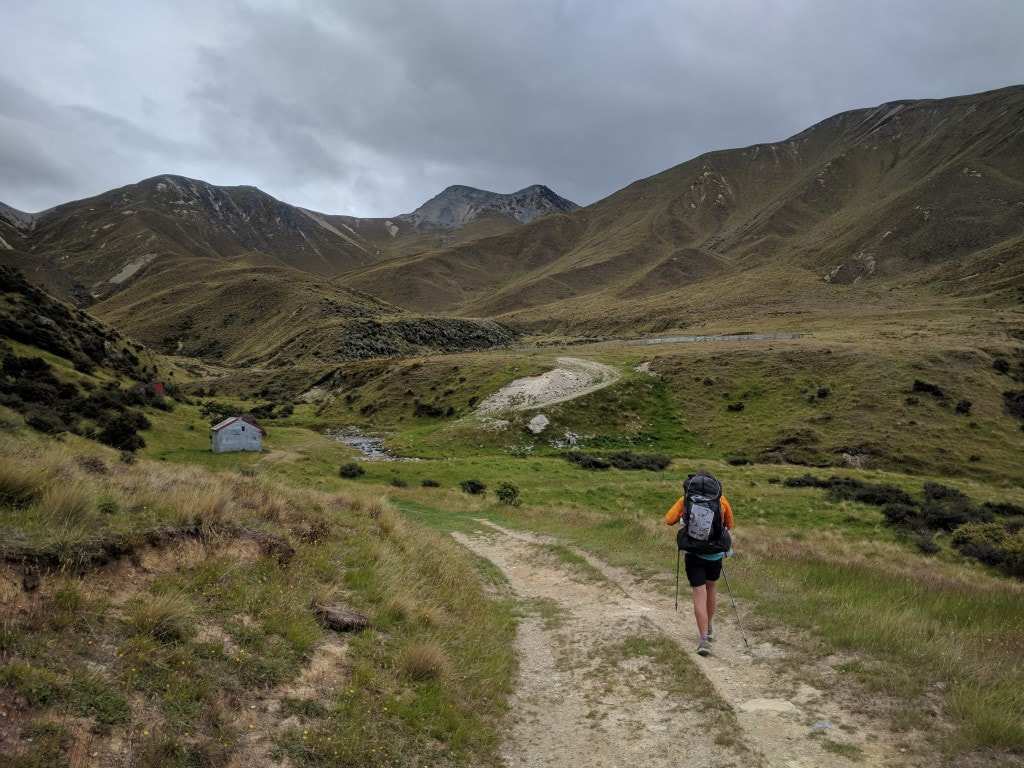 Approaching the little private hut. 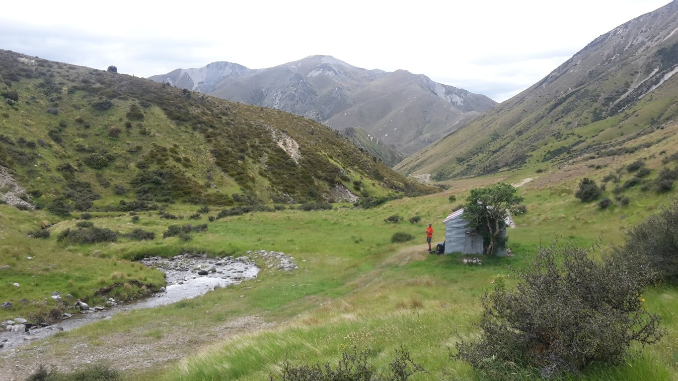 Me outside the hut - we stopped here for a break after about 2 hours. 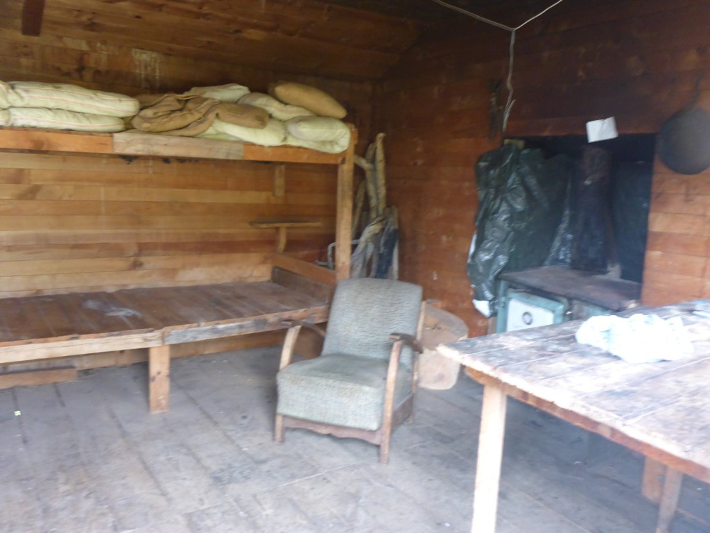 A (fuzzy) glimpse at the hut interior! We started climbing more steadily after the hut, but still on good farm tracks. Eventually we reached the Conservation Park boundary and the quality of the track deteriorated somewhat as it is not really maintained by DoC - certainly not for any vehicle access. However it is still easier than bashing through tussock and spaniard! From the hut we climbed for another 6km to achieve that next 780m vertical, arriving at the saddle after 14km, in 4h10 of walking time (around midday) - which also included a lot of “micro breaks” on the way to rest legs and catch the breath! Overall we were pretty chuffed with our efforts :-) Over the last km or so to the saddle the misty drizzle returned and, with a cool wind, required a stop to put on the rain jackets. We ended up keeping these on all the way down to Top Timaru Hut as, even though the drizzle came and went, the wind remained cool. 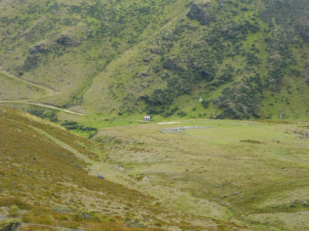 Starting the climb, looking back down to the hut. 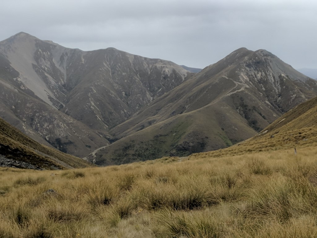 Back into tussock and rock! We were constantly fascinated by where they had bulldozed farm tracks in this mountainous country (see background)! 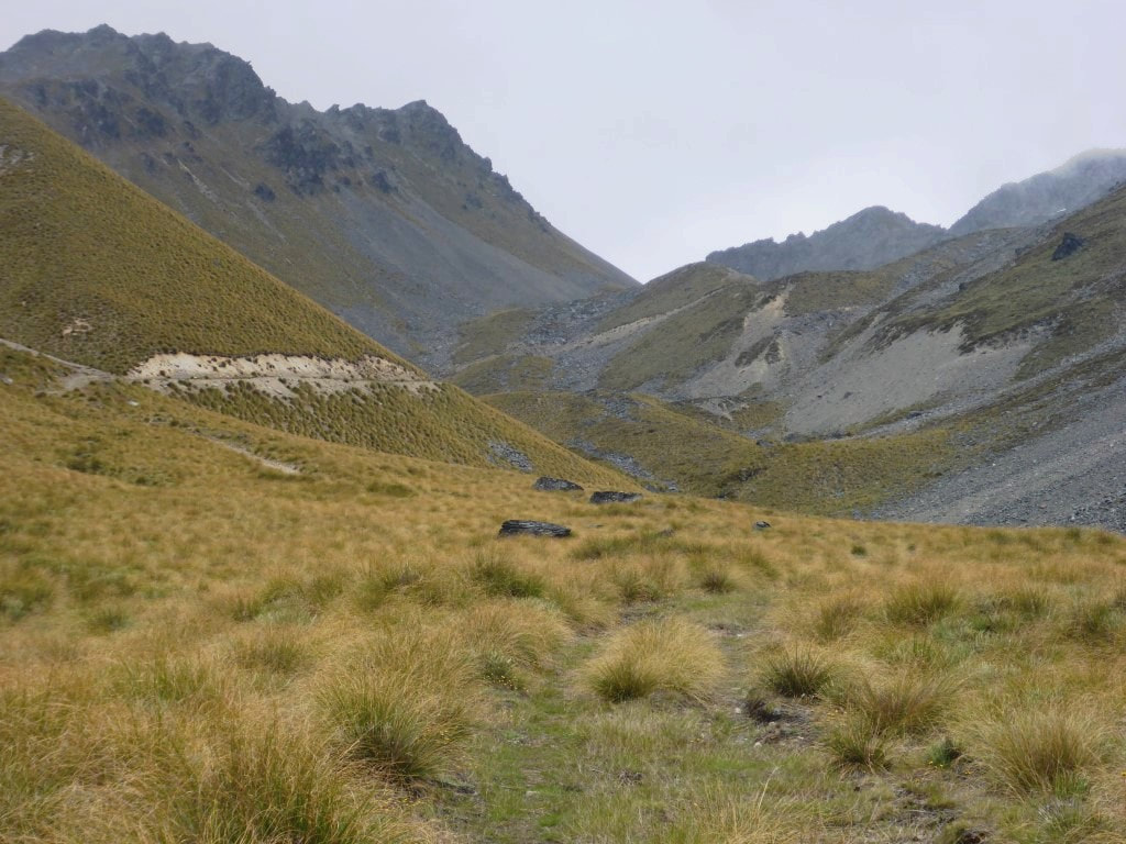 More rugged country, but an easy track to follow. 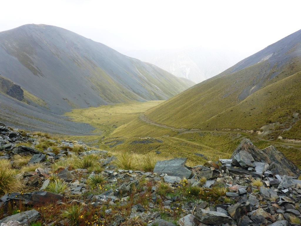 Looking back down to the valley we had come up. 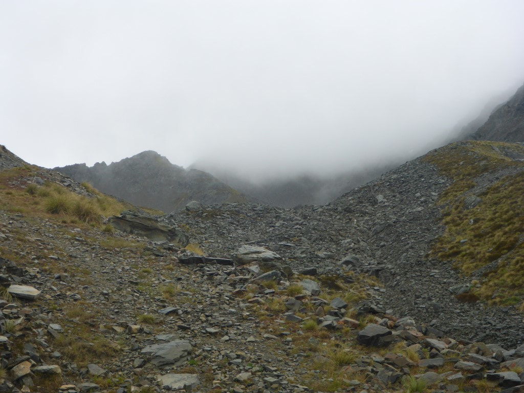 Wasn't looking promising for views at the top at this stage. 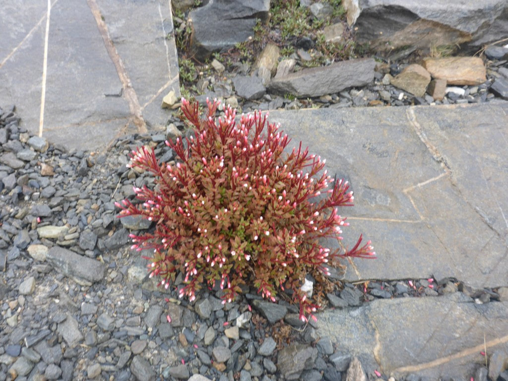 Almost looked like a plant amongst paving stones!! 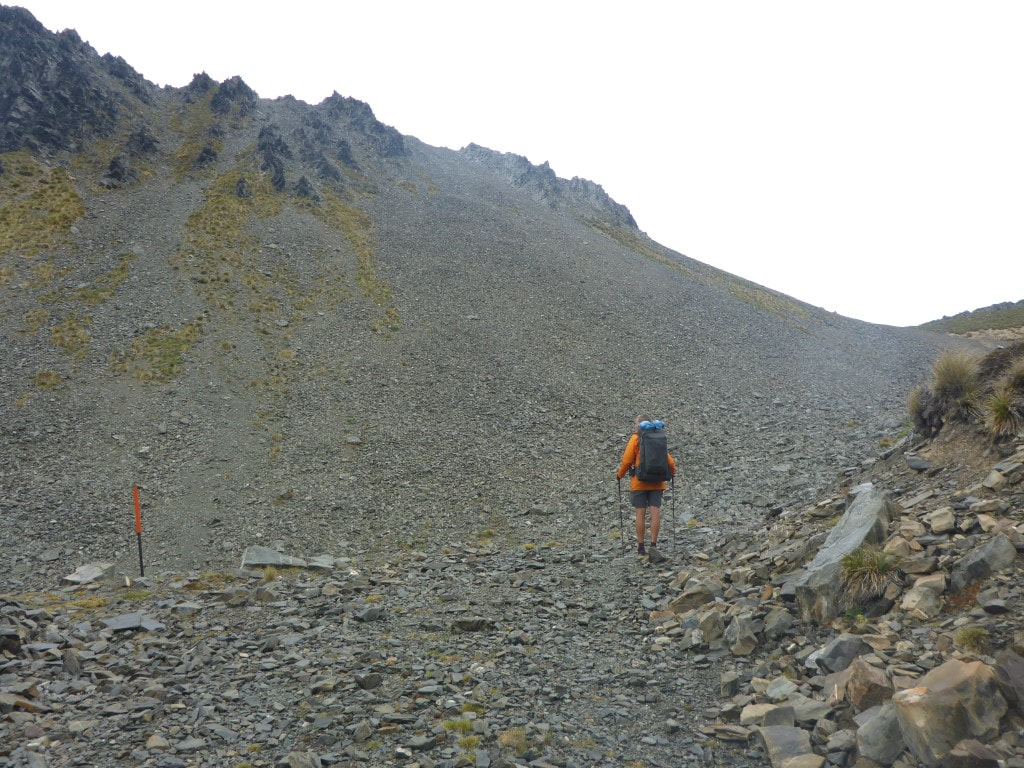 It cleared a little as we continued to climb toward the saddle. 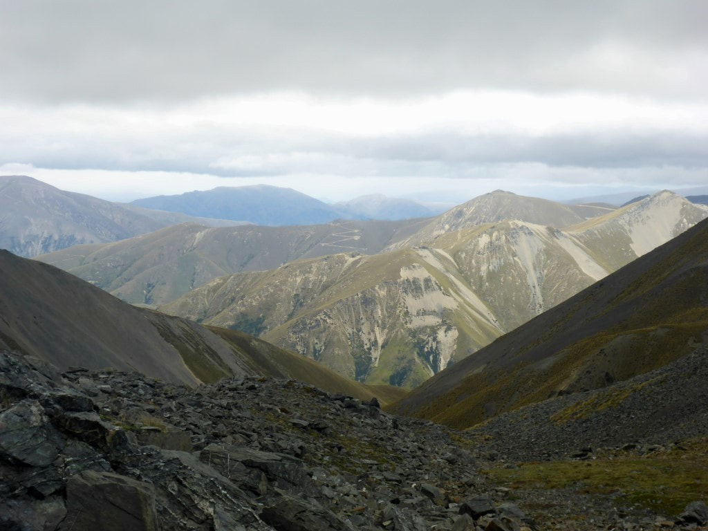 Near to the top - looking back down at the latter part of the climb through steep rocky terrain. 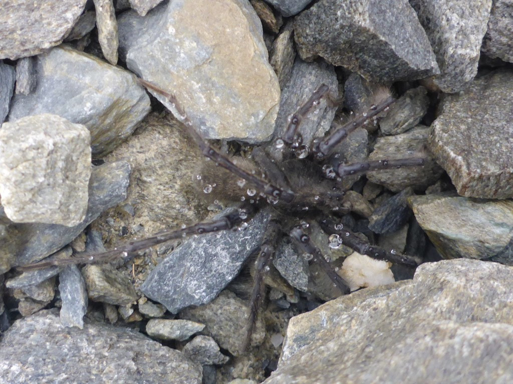 A few of these good-sized spiders around :-) 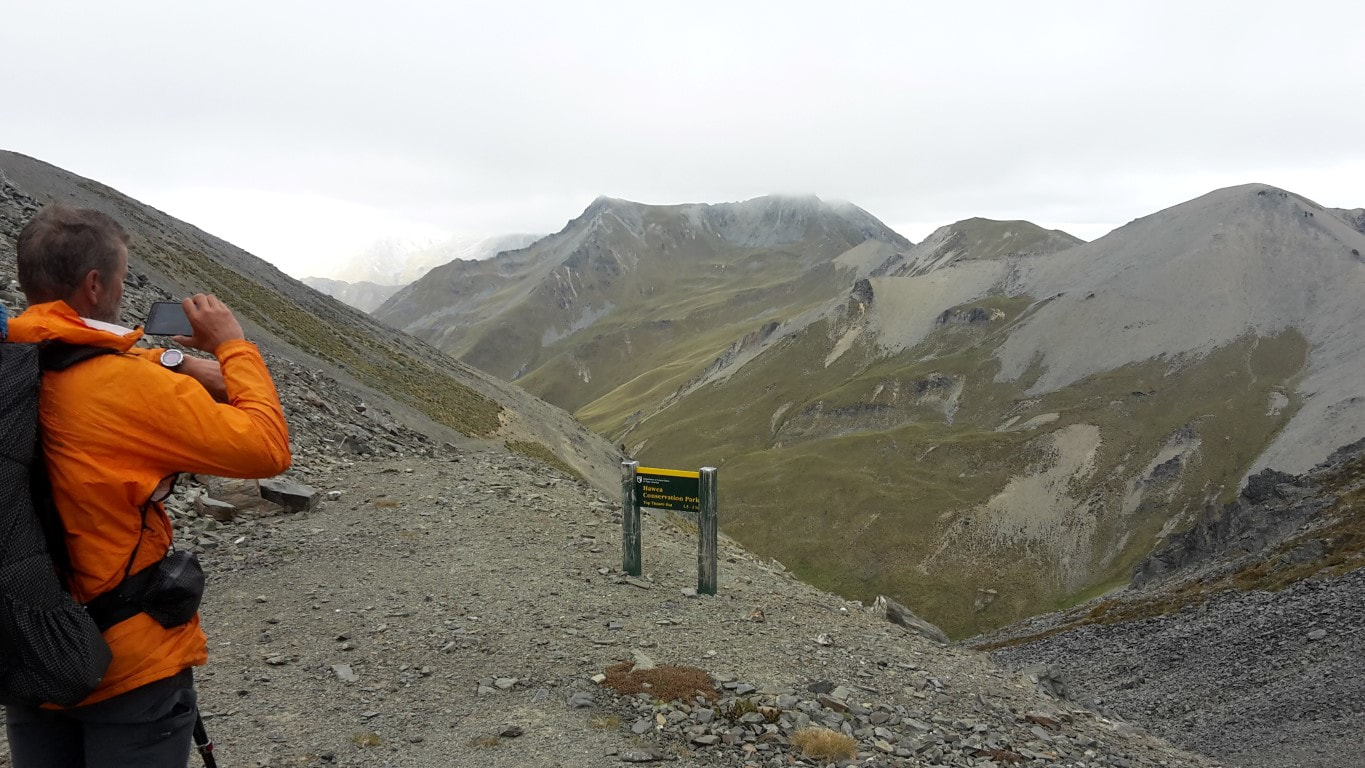 At last - Mt Martha Saddle at 1680m asl. And .... the weather had cleared a little! From the saddle it was a steep rocky descent on a bulldozed track to the valley floor. This was fairly tough for us as it is very hard on the knees - so not the fastest descent on record! Some younger legs had taken more direct routes down, cutting out some of the long zigzags, but the track was steep and rocky enough for us! DoC say 1.5-2 hours from the saddle to the hut - we took just over 2 hours. We stopped for a bit of lunch once into the tussock, then continued on alongside the Timaru River until reaching the hut. The toilet is the first thing you see from perhaps a km away, but the hut (below the toilet) doesn't appear until you are right on top of it. It had stopped raining but was alternating between sunny and cloudy. The hut is a quite new 6 bunk affair and is very comfortable inside - insulated, double-glazed and with bug screens on at least one window. Our biggest problem was trying to cool down - leaving the door open or staying outside inviting the invading airforce of sandflies to attack!! We had tossed up whether to carry on and camp further down as we have two rather long days ahead of us to get to Wanaka by the evening if the 23rd - however we decided to take the opportunity to rest instead and just accept the challenge of the longer days ahead! 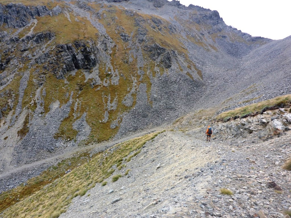 On one of the "zigs" (or maybe it's a "zag"?) not long after leaving the saddle! 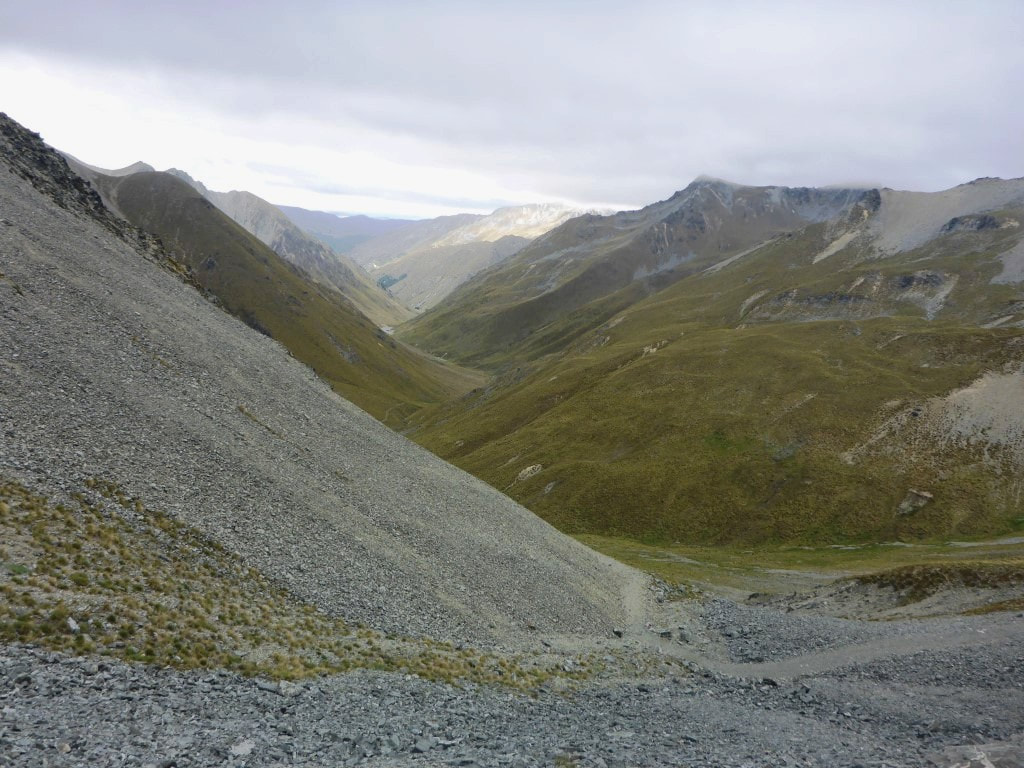 Wending our way down to the Timaru River valley. 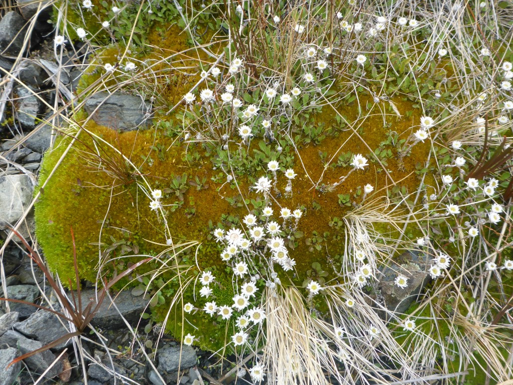 Moss and daisies :-) 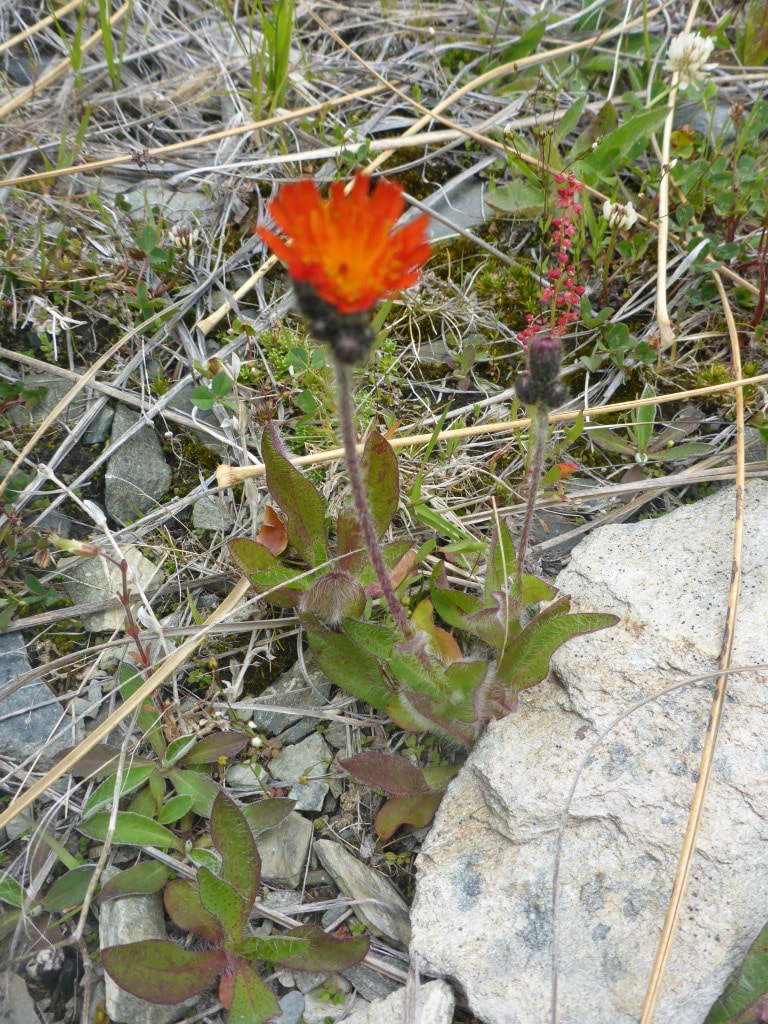 More of the local flora. 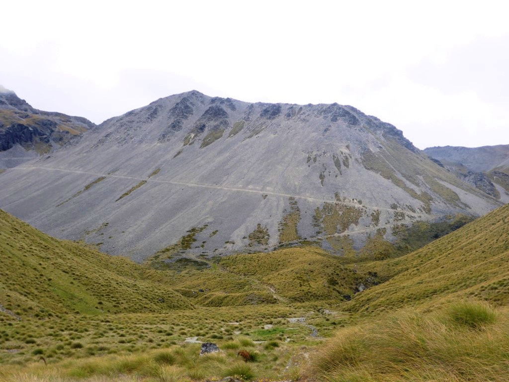 Looking back at the last long traverse coming down - stopped for lunch after the track hit the tussock in centre of shot. 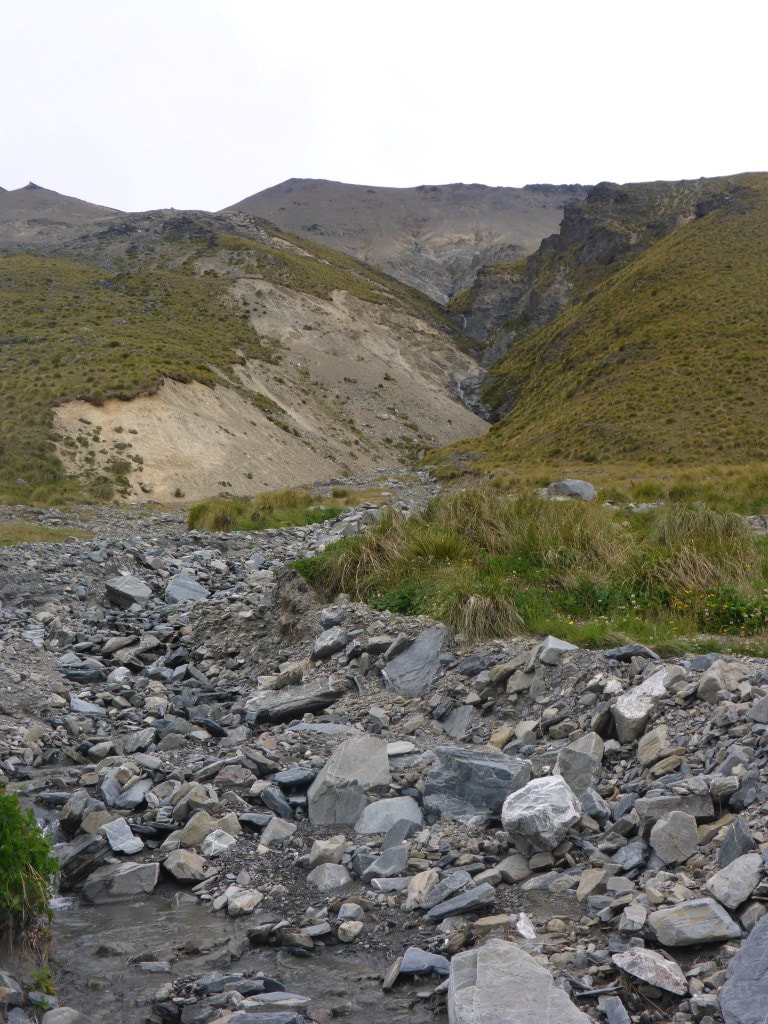 Water still shifts a lot of rocks down into the valley floor. 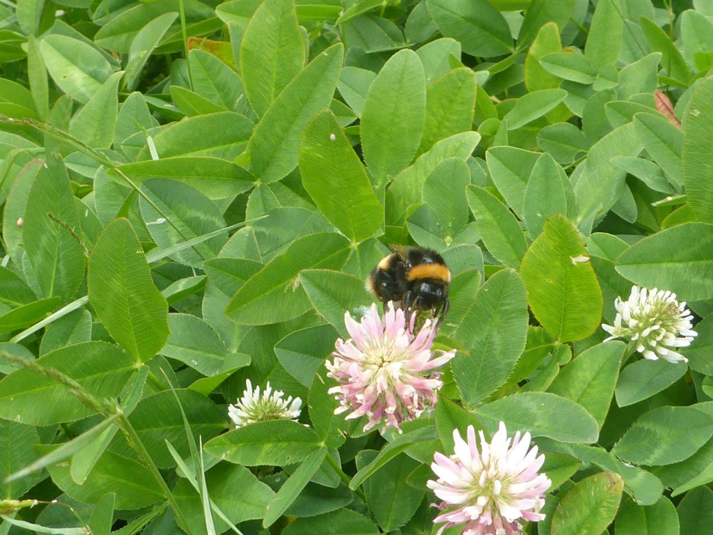 Walking through some boggy patches populated with strawberry clover - the bumblebees love it :-) We could see the tan-coloured toilet from a distance away (red arrow), but not the hut, which only appears down below at the last moment! 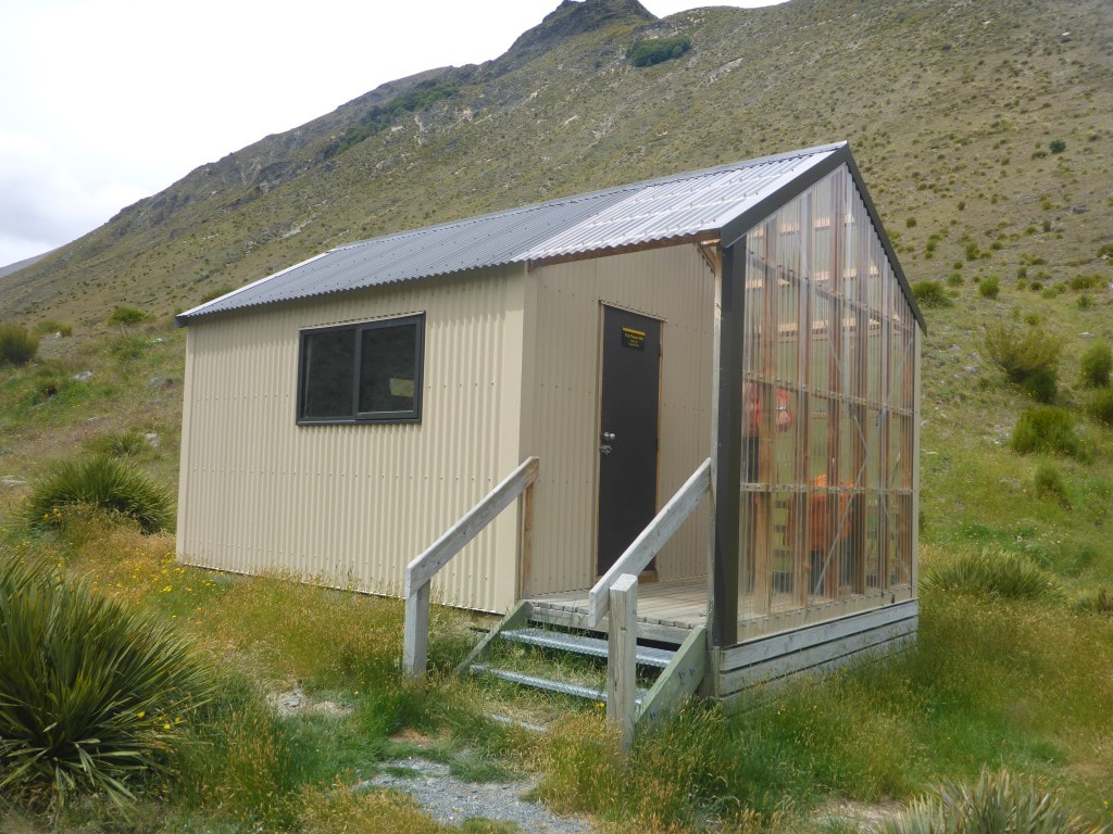 The hut from below - nice porch for drying stuff in - especially when you are the only ones there! 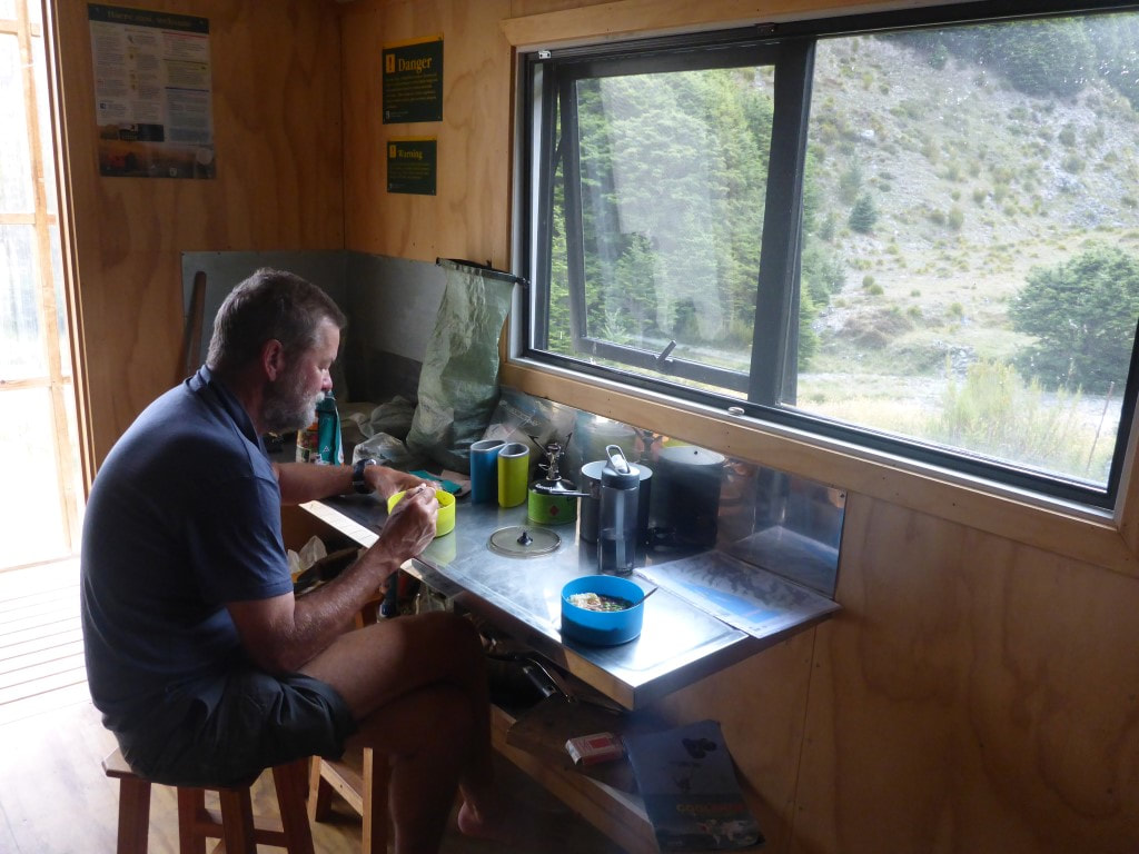 Dinner time - we had succumbed to leaving the door open to cool down at this stage. 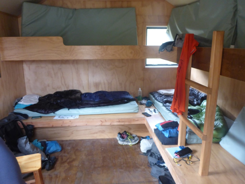 Shot from the door looking at the bunk area.
0 Comments
Leave a Reply. |

AuthorBelinda and Anthony (aka Tony) Hadfield made a decision, in their late 50's, to do something a "bit different" and walk New Zealand's 3000km Te Araroa Trail over summer 2015/16 - although updates will now tell you that this plan will take longer now!!. As the old saying goes - "don't leave home 'til you've seen the country"!! Archives
January 2018
Categories |
 RSS Feed