|
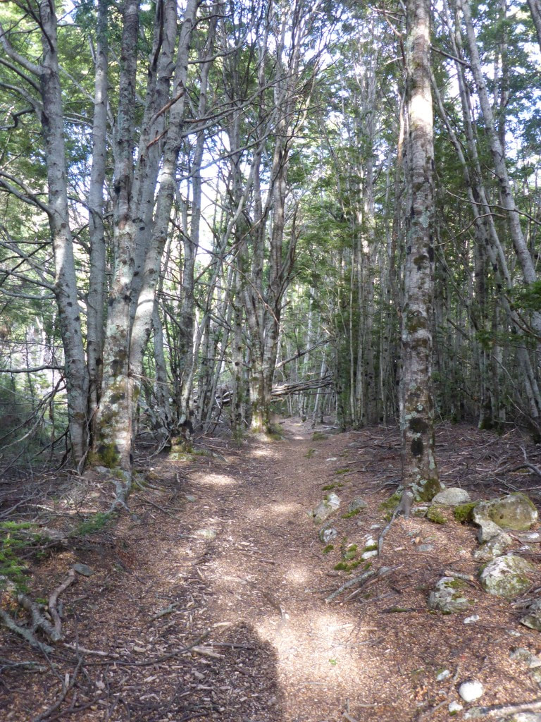
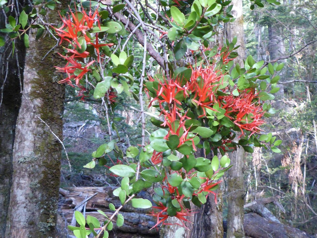
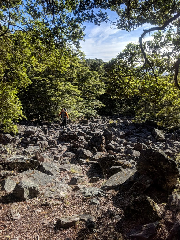
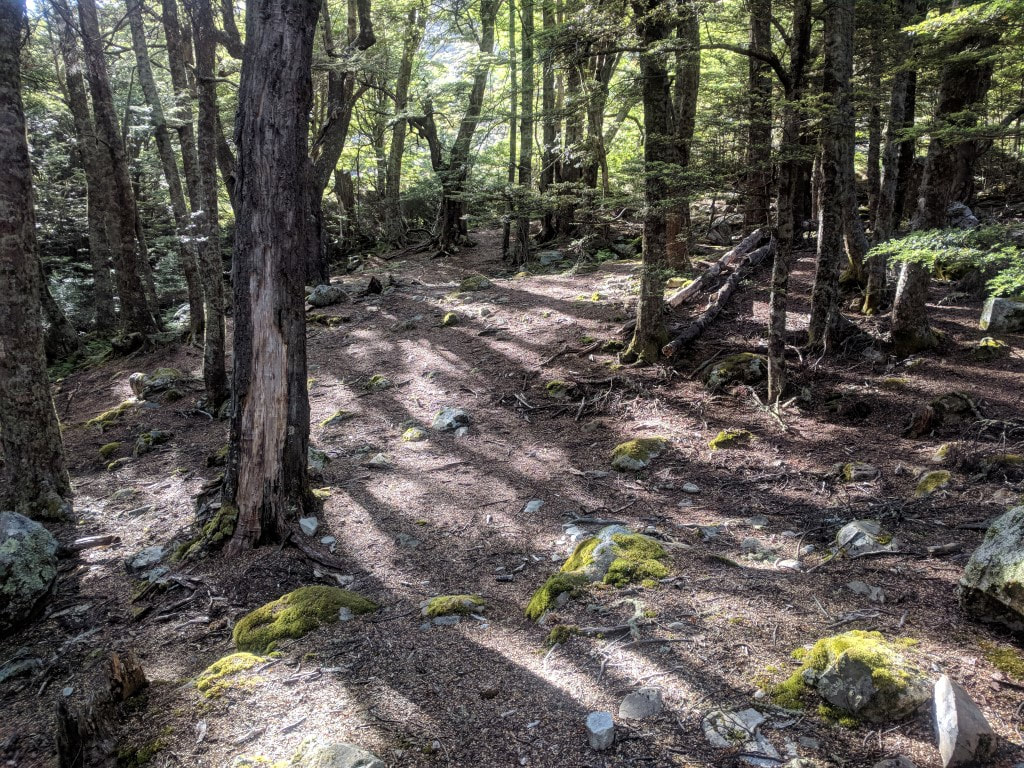
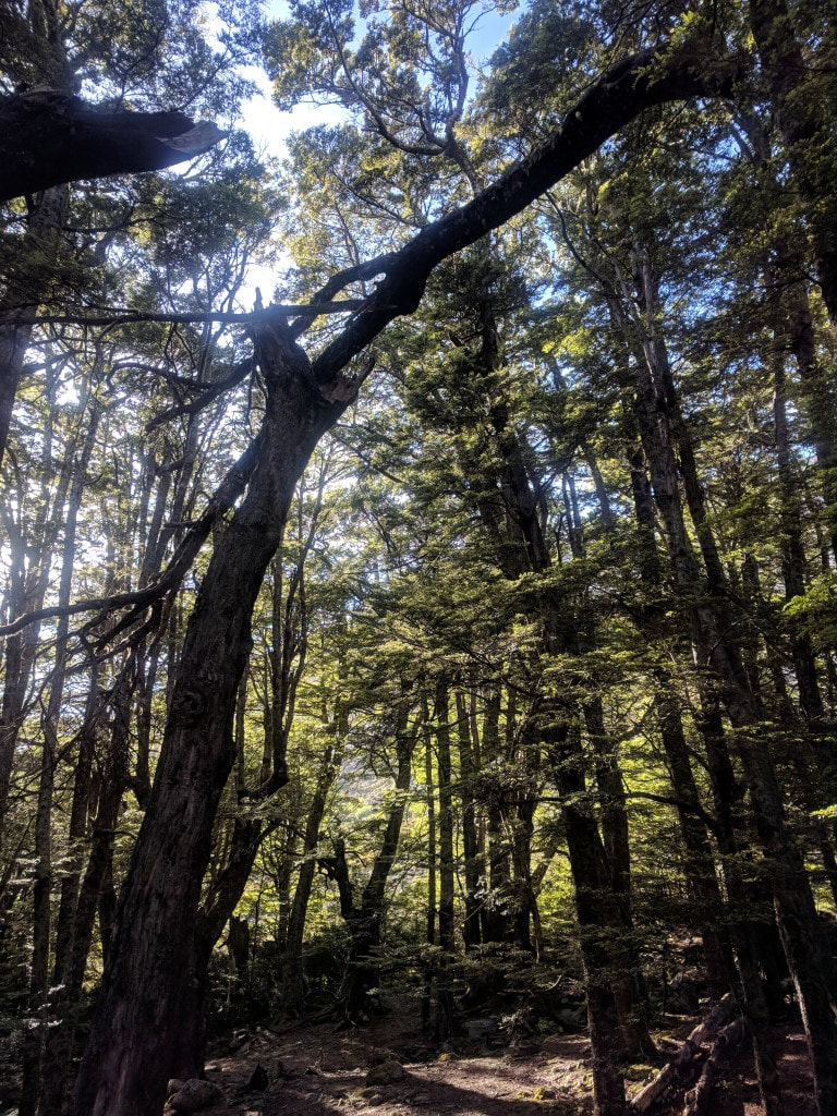
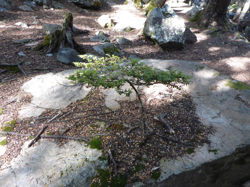
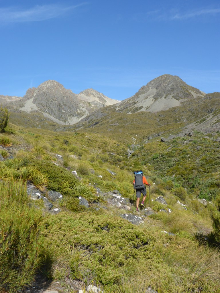
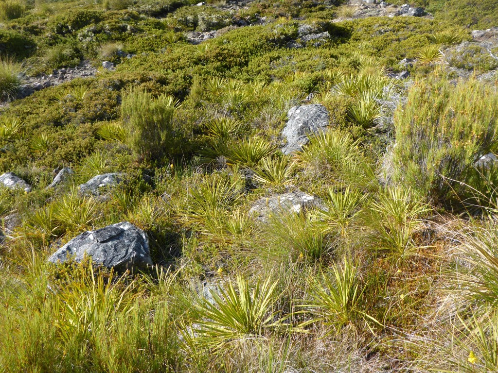
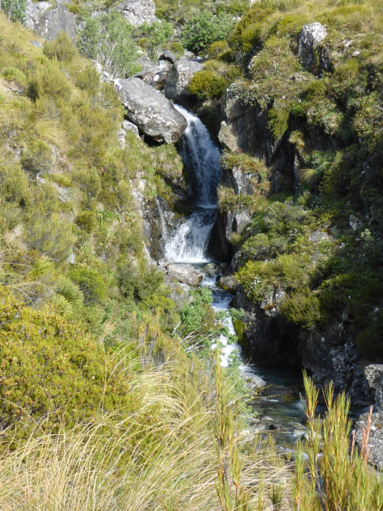
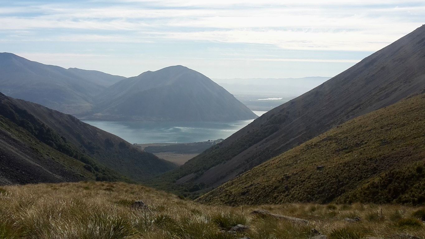
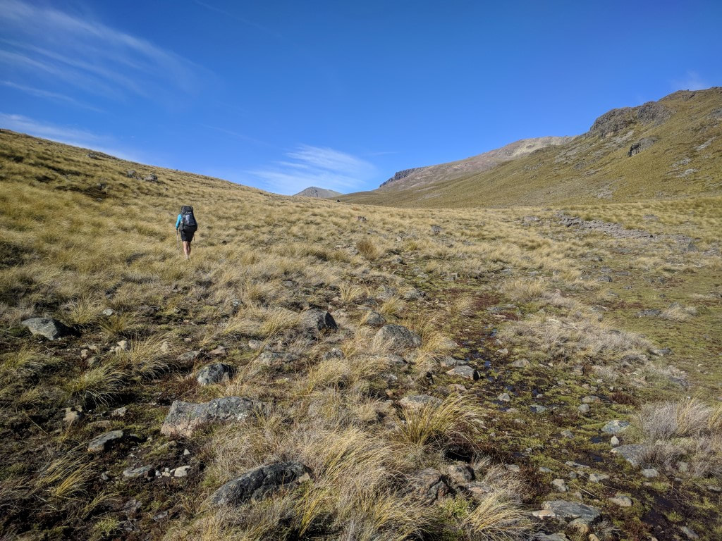
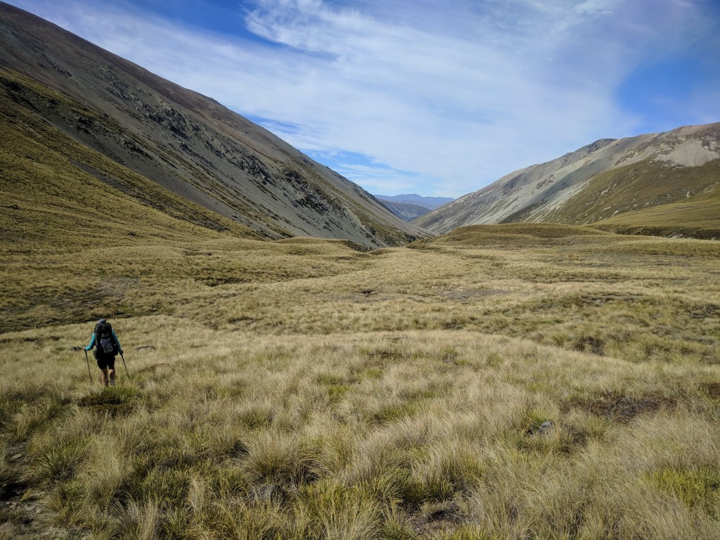
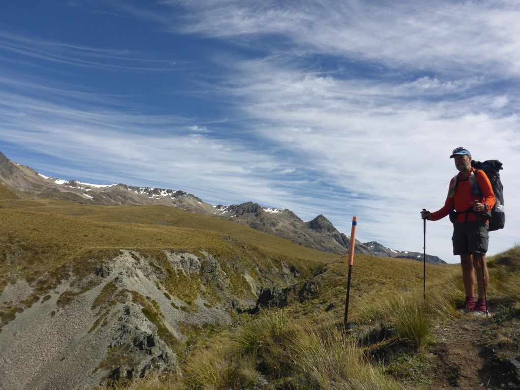
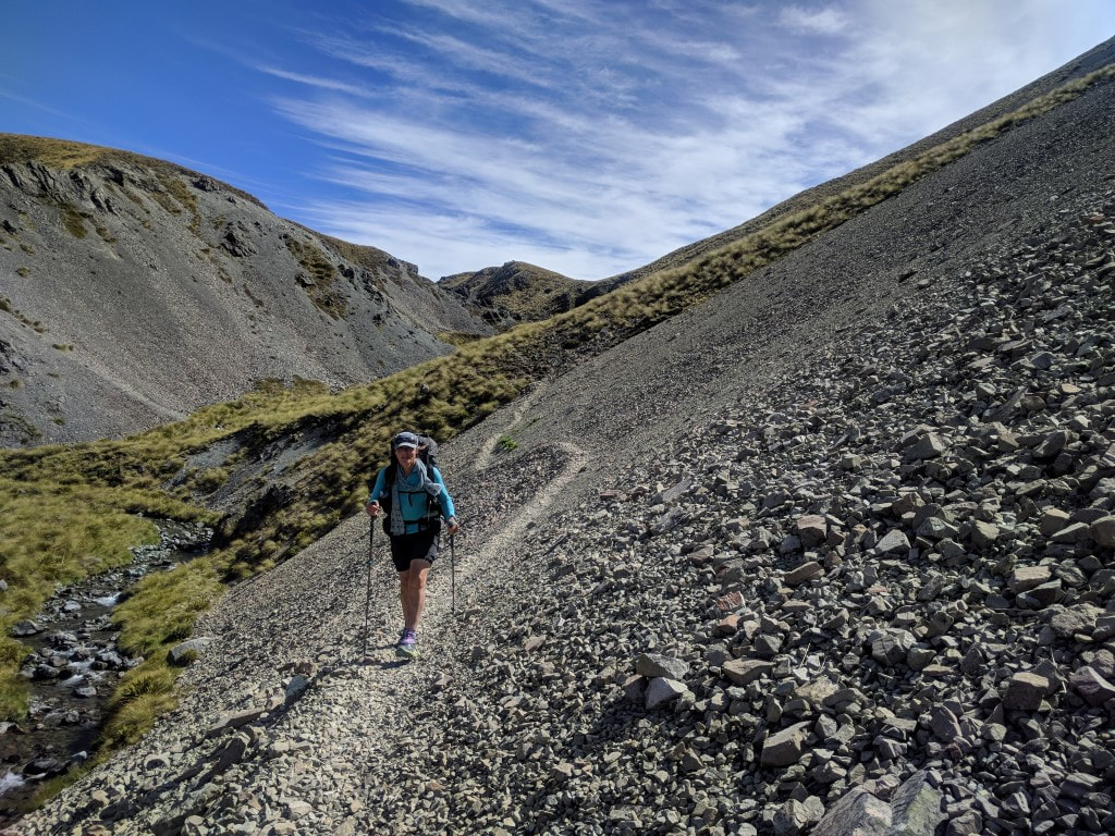
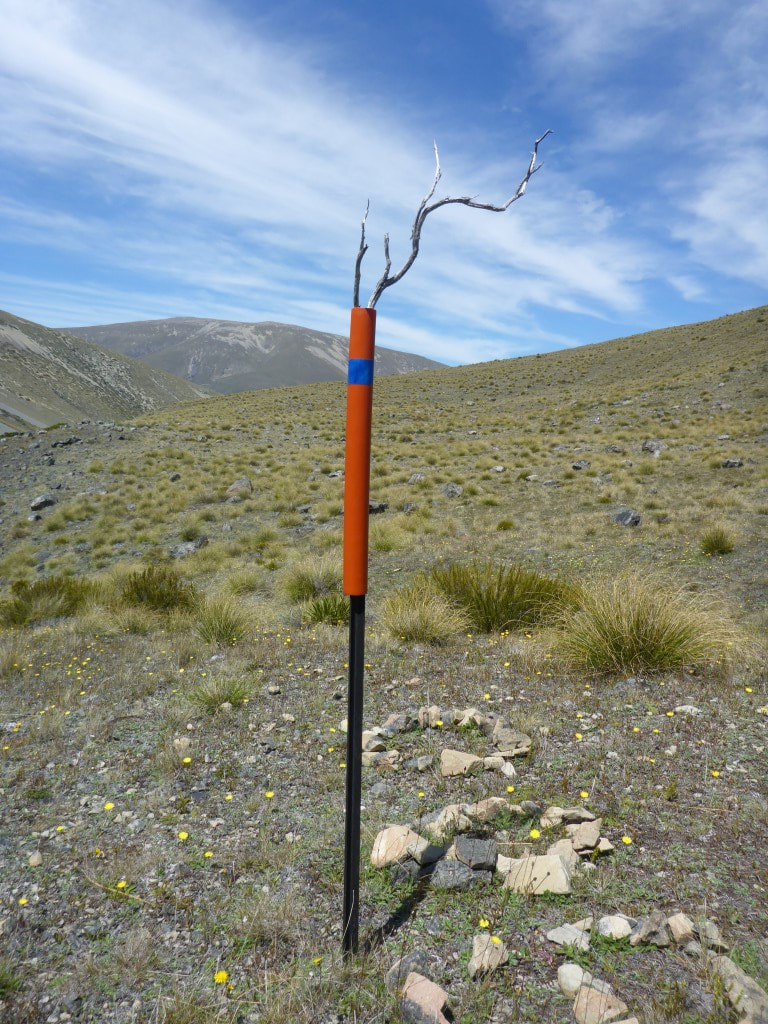
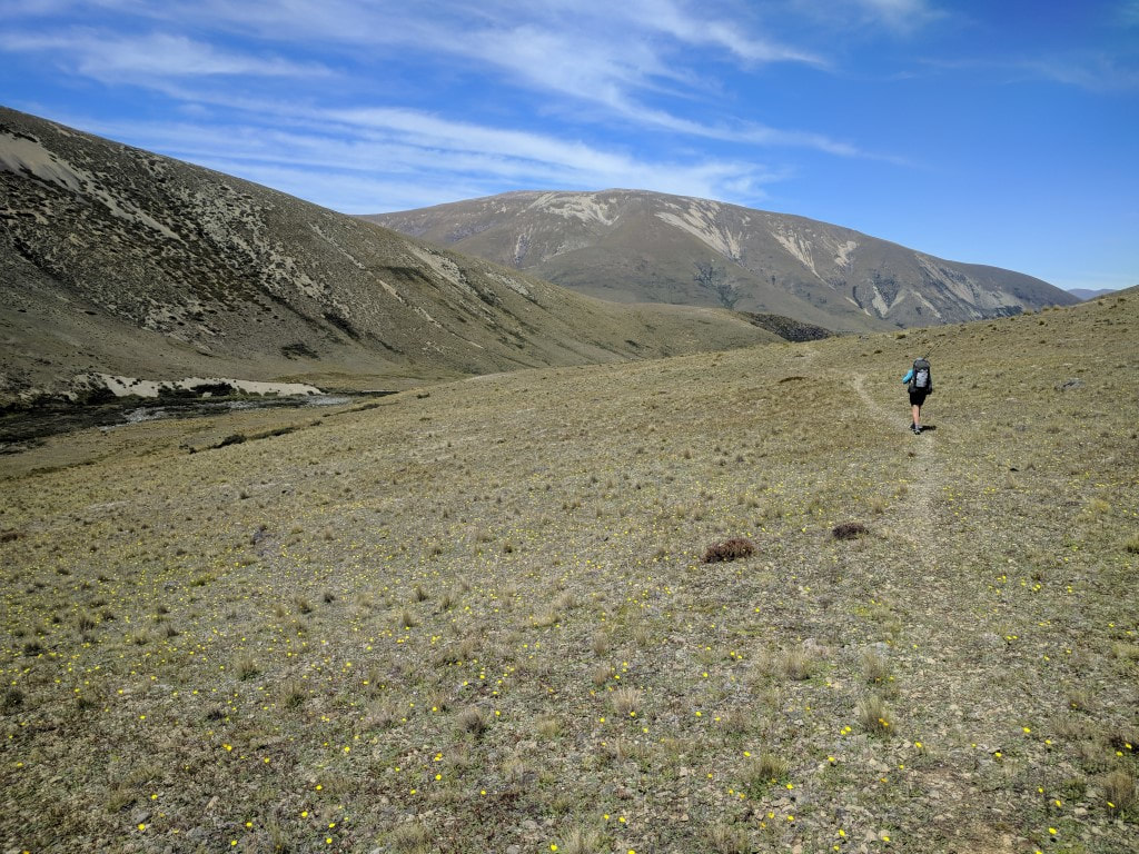
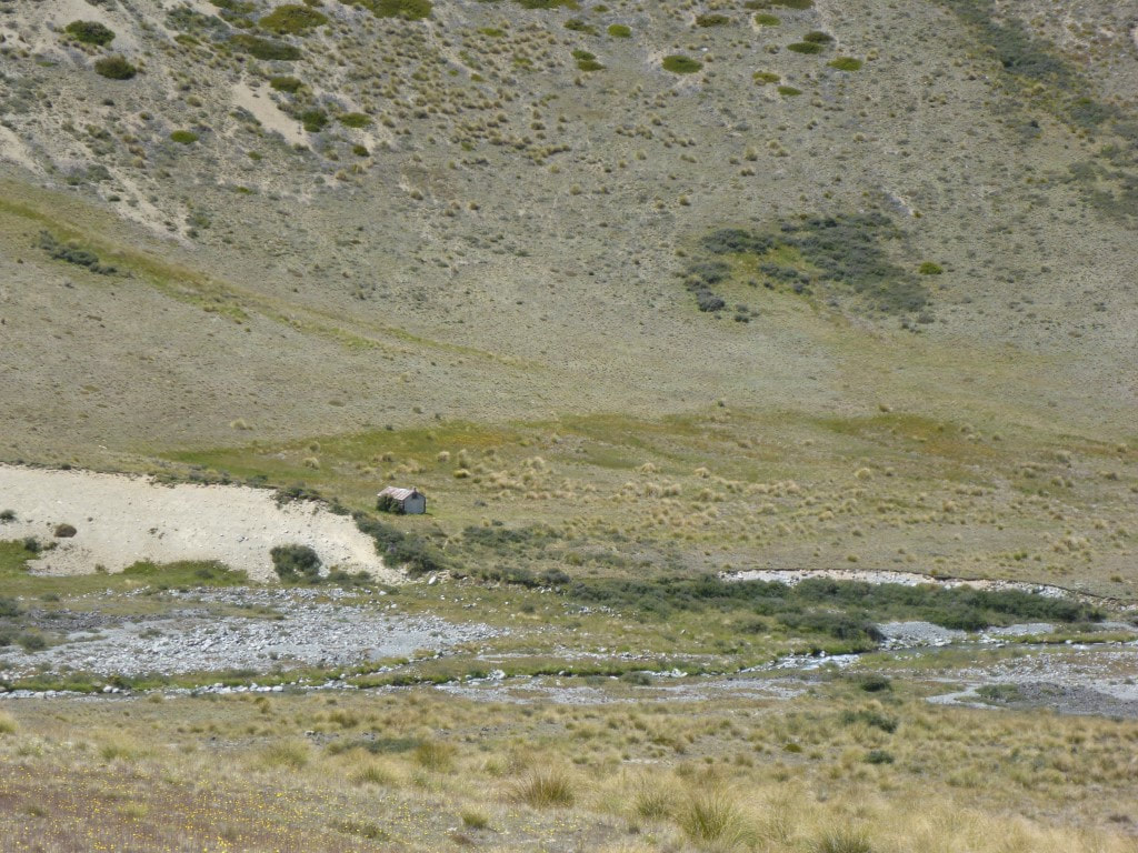
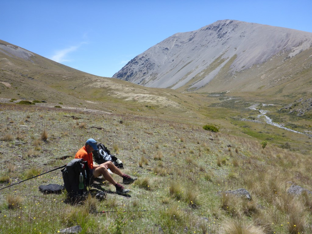
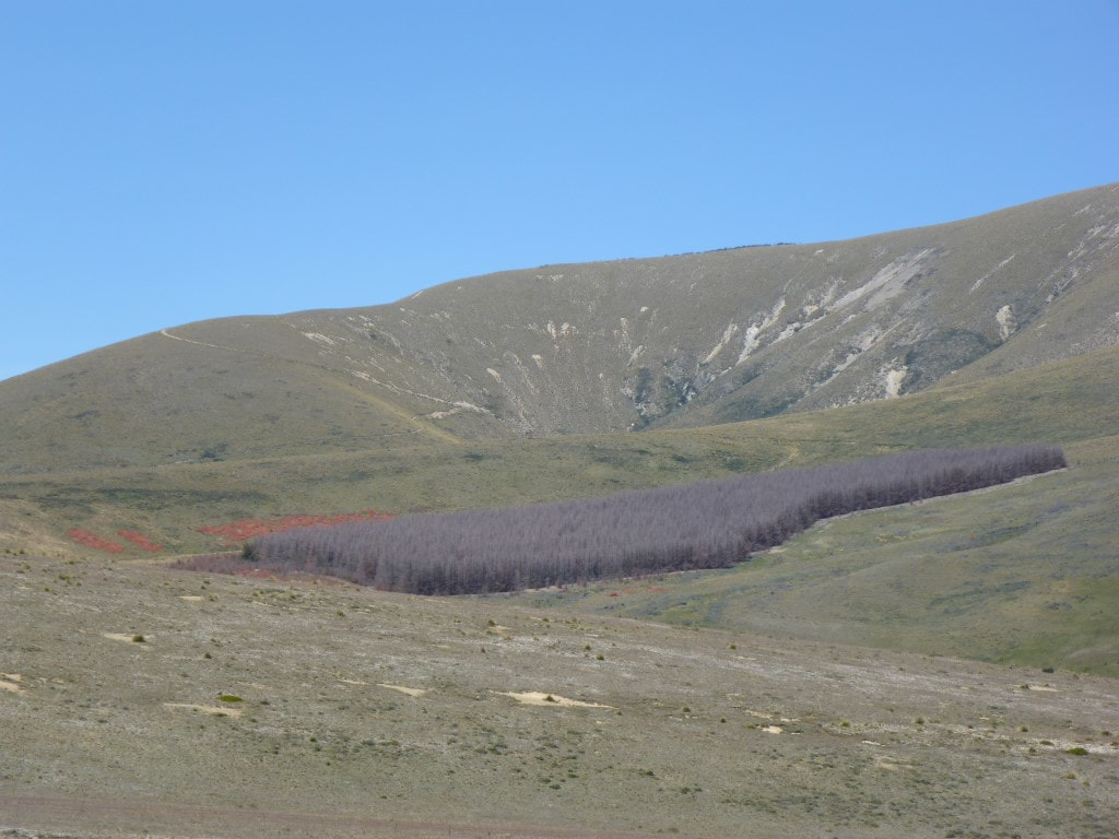
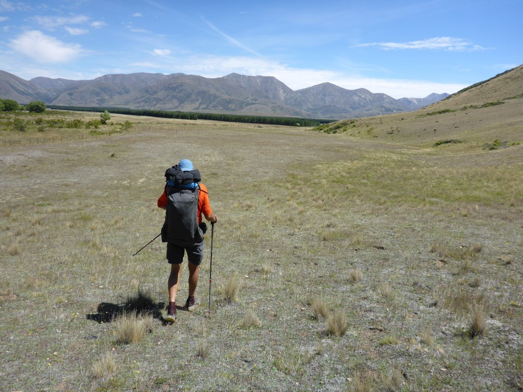
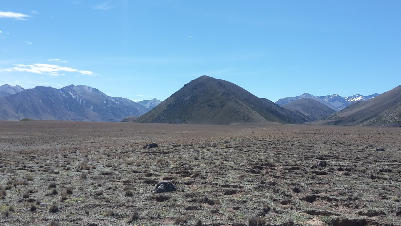
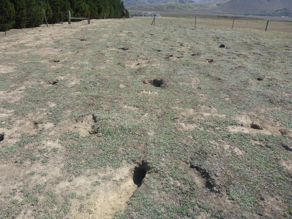
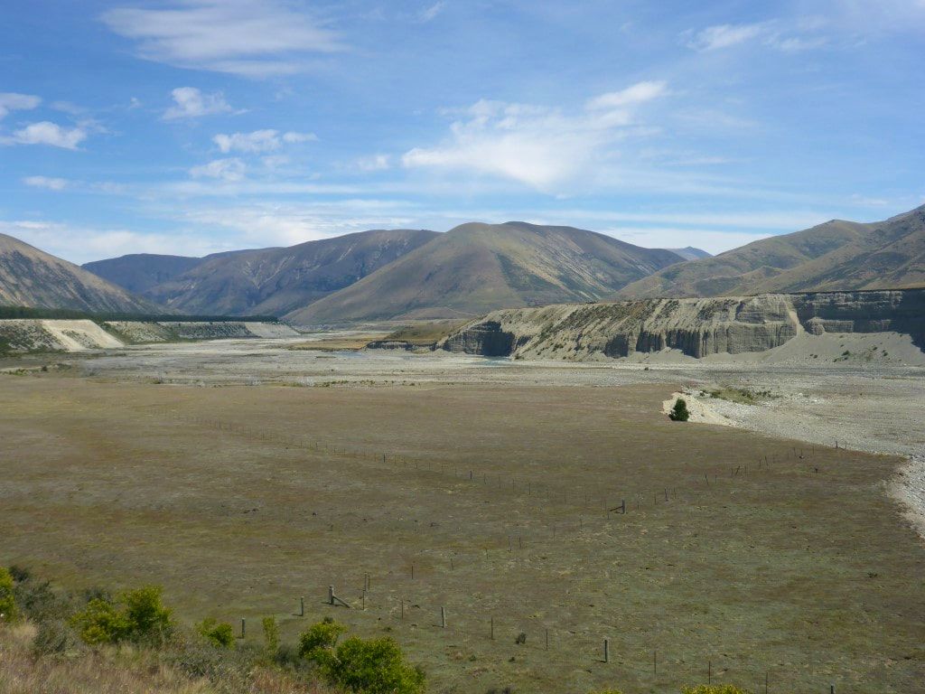
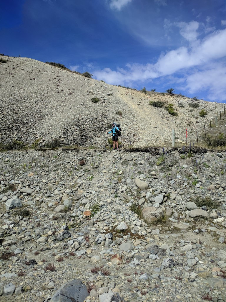
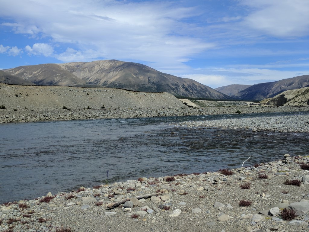
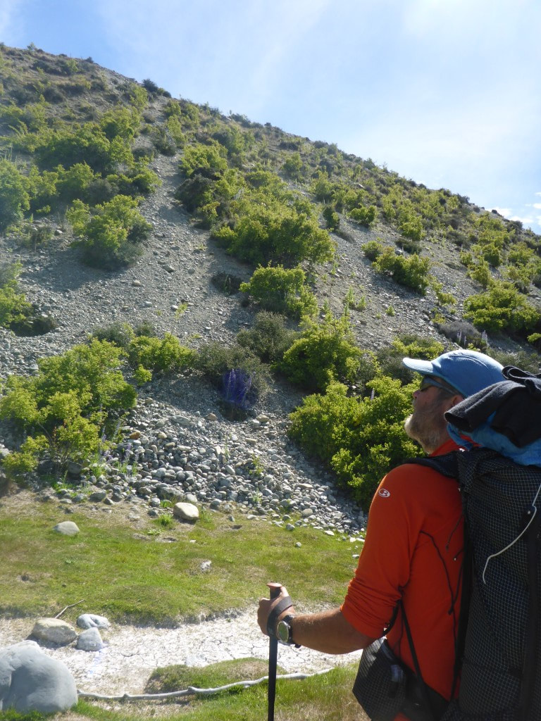
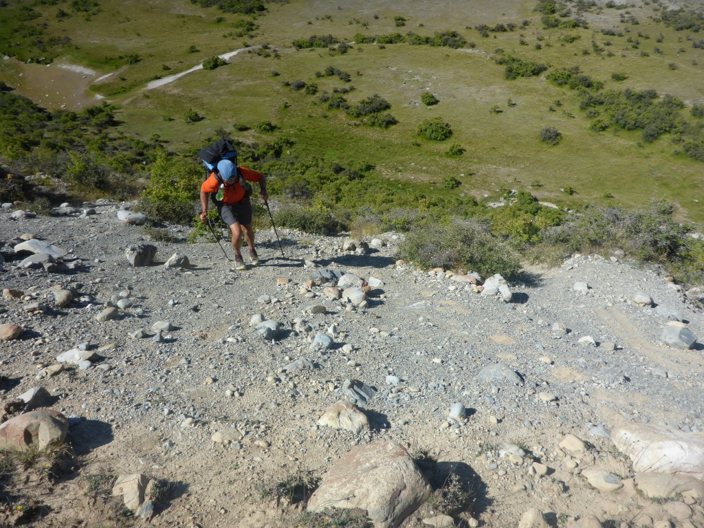
Got up early to 3degC in the tent - very brisk - and had a hot drink with brekkie to ward off the cold! Ended up walking a whisker under 26km in 9 hours of walking. With stops included, it meant we stopped at our camp spot at about 1730. Still plenty of daylight left but the bodies suggested rest would be good! The GPS track for the day is here. We got underway at 0720, up through some lovely beech forest, including a couple of boulder fields to negotiate. Around 2.5km saw us at the treeline. The “informal campsite” mentioned in the notes was there but would have presented challenges for our tent. The best spot had a large dead beech suspended above it - a real “widow maker”! Then it was out into tussock and ever upwards. After 2h15 we stopped for a break at 1420m asl, having climbed 720m in that time over 4.7km. We took it reasonably slowly today, having had a big day yesterday and having to care for our respective niggly joints (the sprained ankle is still strapped and bearing up OK on what had been reasonable going so far). It was only a little more climbing before beginning the descent into the East Ahuriri River. The descent was quite steep but manageable. Once we got down to the river the going was not the best for the first few km - rough tussock and spaniard interspersed with rocks and swamp. In many places the worn track was OK to follow, in other places it was easy to lose. This was quite slow going (and it involved river crossings as well). The going improved when the route diverted up above the river for a couple of kms - while it was mostly sidling, it was good going. Then we dropped back down to the river onto mostly flat ground, interspersed with the occasional boggy crossing! Finally it was a 3km straight run across rabbit-ravaged pasture past pine trees towards the Ahuriri River. From well above, we got a chance to survey the river and spot a likely crossing place - very near to where the large orange triangle is on the other side. We scrambled down to the river and got our phones etc into waterproof bags before setting off together into the river. The deepest part didn't quite reach my crotch so wasn’t too bad. Last I had looked at the river flow data for the Ahuriri at South Diadem - the closest monitor - the flow was about 14 cumecs and dropping. So this is very doable at that flow. Belinda, being somewhat shorter, did get a little wetter than me :-) Then it was out and across to an incredibly steep scramble up a very loose shingle face to get up the other side. Just about the gnarliest little climb (although it was pretty short!) we have had to date, I think - hard top make forward progress at times because of the loose nature of the surface.
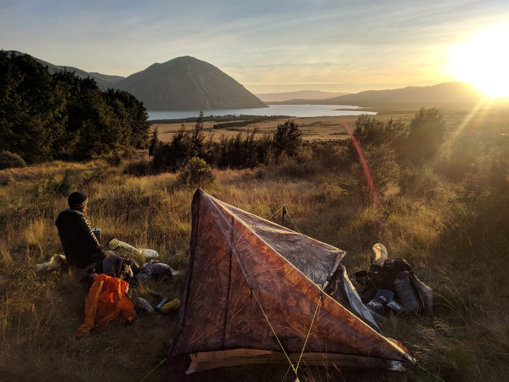
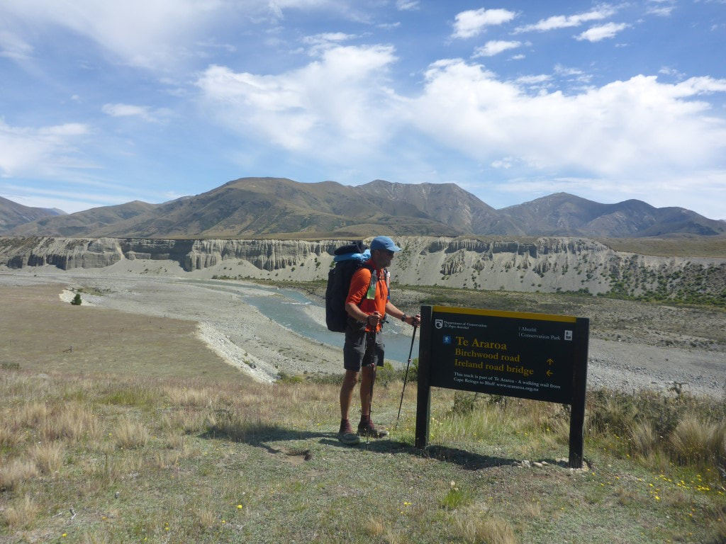
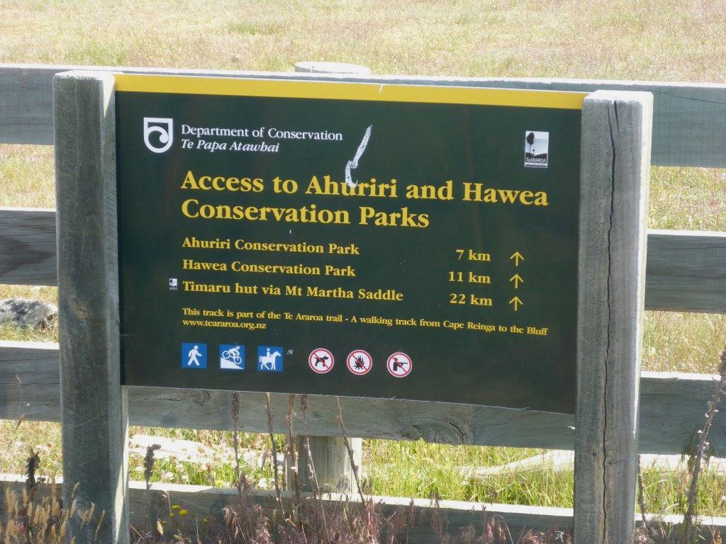
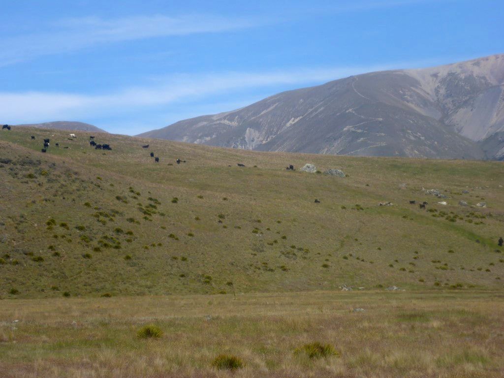
Once up onto farmland (Longslip Station) we headed the 1.5km our so to Birchwood Rd. Just after we started on the track, just on the other side of a fence from a farm road, a young girl on a small quad bike came from a nearby house and wished us a Merry Xmas as she went past :-) We had decided to camp a little way up this next section of track and settled on a nice spot about 1.2km from the road, just after you drop down towards the river. This is farmed, so filtering water was the order of the day - there are cattle here and we had some wandering down the trail past the tent this evening! A wise decision to stop when we did as we have had a couple of longish days now and also have a 980m climb tomorrow as part of a 21km day to Top Timaru Hut (hopefully)!
0 Comments
Leave a Reply. |
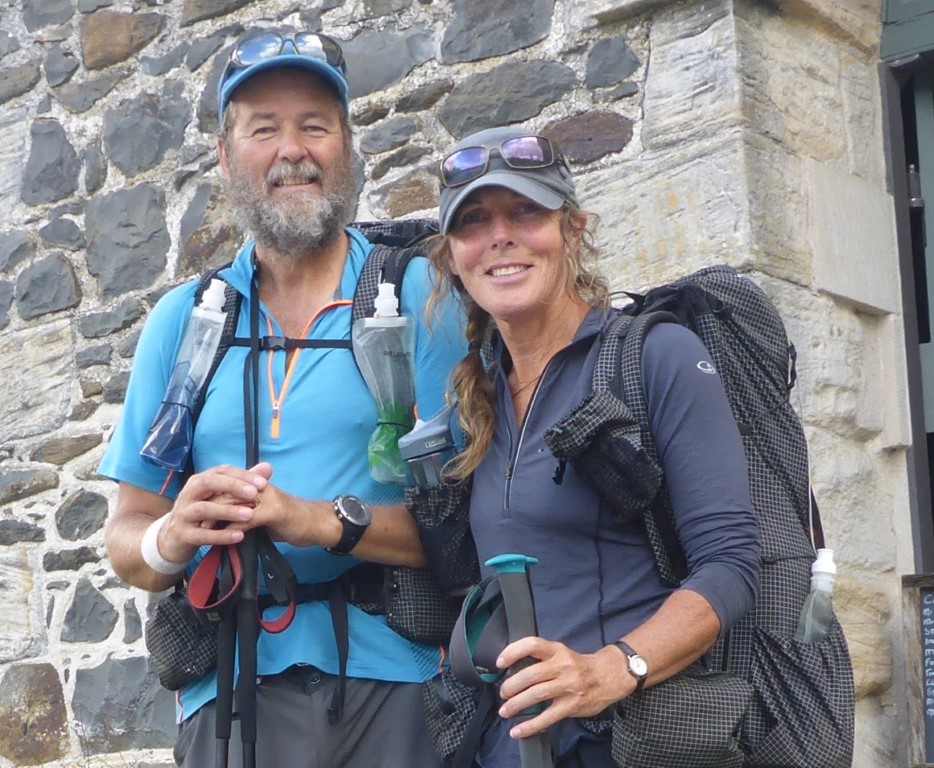
AuthorBelinda and Anthony (aka Tony) Hadfield made a decision, in their late 50's, to do something a "bit different" and walk New Zealand's 3000km Te Araroa Trail over summer 2015/16 - although updates will now tell you that this plan will take longer now!!. As the old saying goes - "don't leave home 'til you've seen the country"!! Archives
January 2018
Categories |

 RSS Feed