|
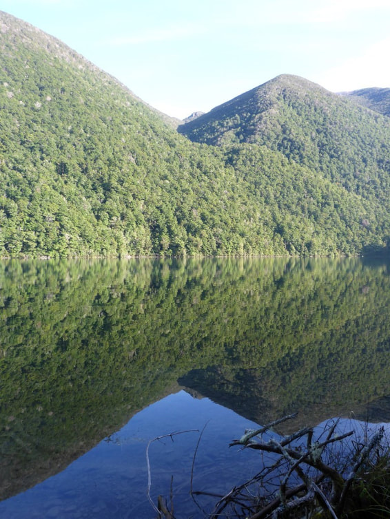
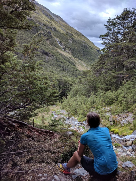
We set off from the Alpine Lodge at 0725. We eventually arrived at Upper Travers Hut at about 1800, having covered 29km in the 10.5 hours (about 9h30 walking time). Upper Travers Hut is 700m higher than St Arnaud so it was mostly flat and relatively gentle uphill walking today as you can see from the GPS elevation profile - here. Re GPS - for those interested, I decided at St Arnaud to change the Suunto GPS accuracy to "good" (down a notch) in order to try and get more battery life. On the most accurate setting (and 10 second sampling) I can get two long days only. Anyway, I wasn't so chuffed with the results of the track on this setting so changed back once we got to Hanmer Springs. So be aware that the track for this coming section to Boyle Village is less accurate / more generalised than previous! There are quite a lot of photos today - I had to prune them down from around 140 taken between Belinda and me. I should perhaps note here that the blog is obviously primarily a record for us (and family and friends who may have an interest in what the "crazies" are up to!) - we both enjoy going back and re-reading what we got up to. As many will know, when you are walking so much, it can easily blur into one great jumble of experiences, with one day hard to distinguish from another once a few days have gone by!! If the blog is also useful to those looking to tackle parts or all of TA in the future - that's great also :-) We headed down the road from the Lodge to the lake (Rotoiti) and basically headed south round the eastern side of the lake, through beech forest mainly, for about 9.5km to Lakehead Hut. It's a very pretty walk, with lots of views of the lake and the hills on the western side. A reasonable amount of bird life was in evidence, especially as the day warmed up a little! Going was OK underfoot, initially smooth but soon into more usual rocks and roots as you headed further away from town - and pretty muddy in places with the recent rain. We arrived at Lakehead Hut at 1005 and stopped there for a short break and to fill in the hut book (as usual!).
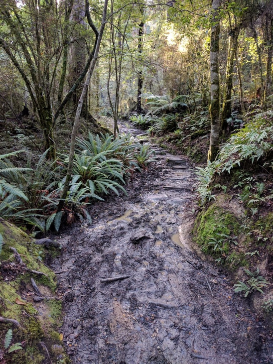
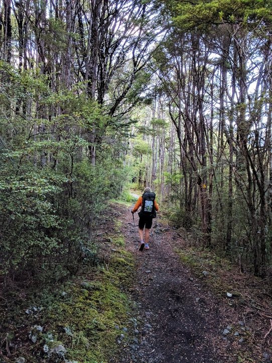 Young beech trees and a reasonable path.
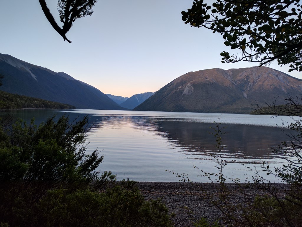
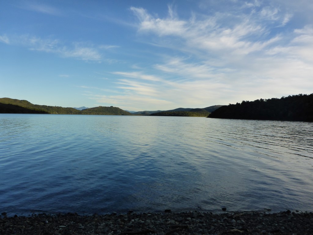 About an hour after we started - looking back towards the St Arnaud end of the lake.
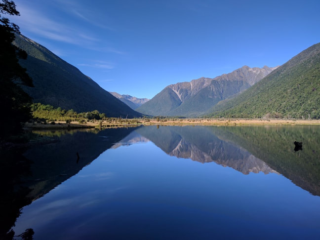
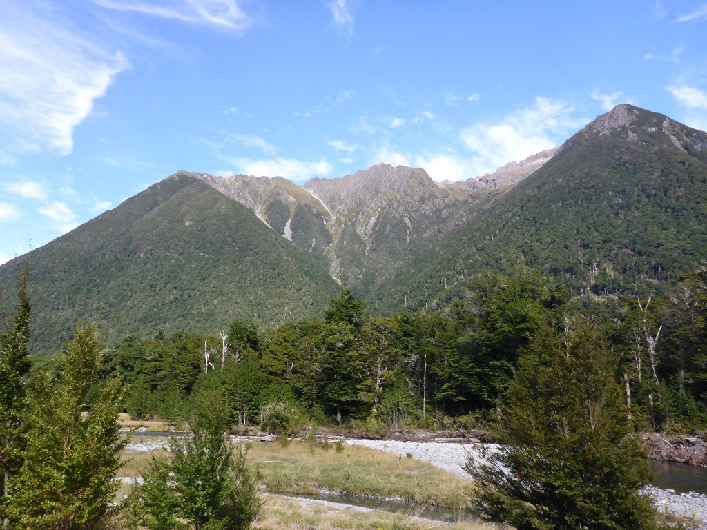
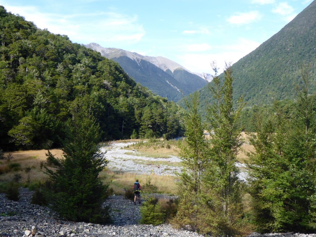
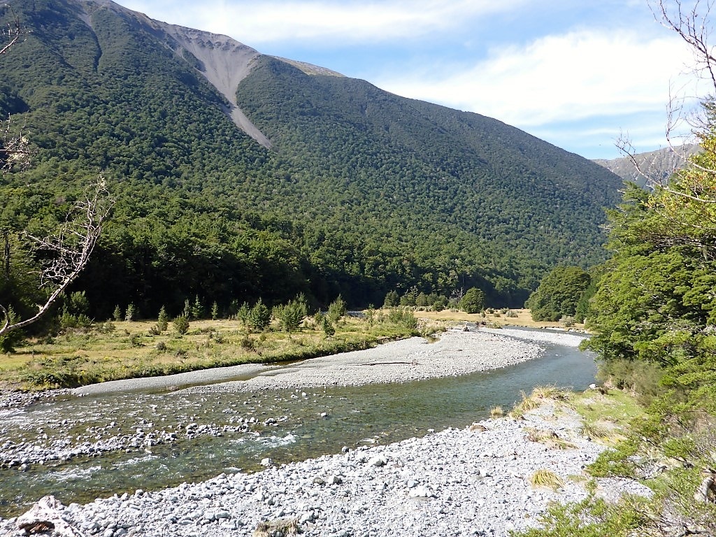
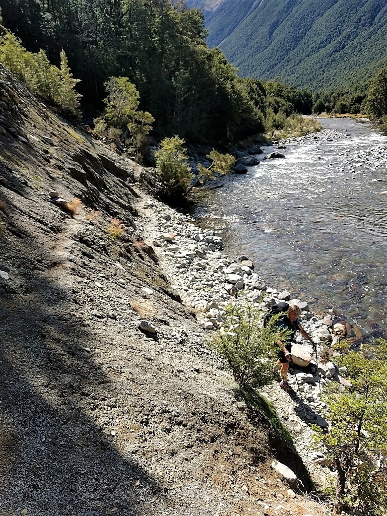
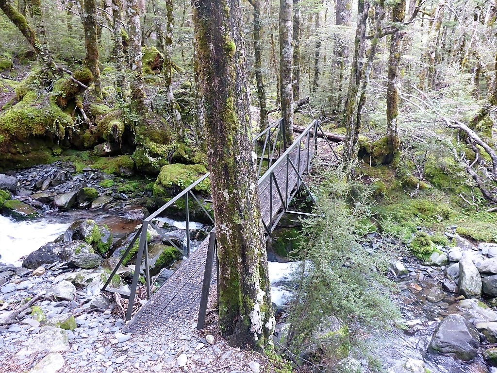
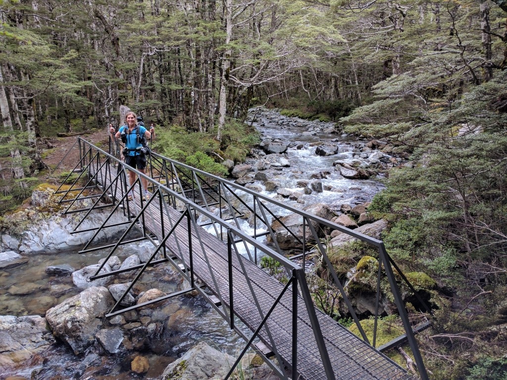
Then it was on up the Travers River valley which included some open river flat walking as well as a good length swingbridge over the Travers River at one point. But as the valley narrowed it was back into more familiar mix of beech forest through large rocky patches and the occasional scramble across rockslides along the edge of the river! Nothing out of the ordinary for TAers :-) John Tait Hut appeared at about 1430 after 23km. We only had a 15 min break here as we had stopped for lunch an hour earlier.
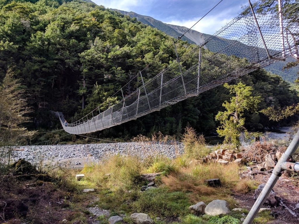 Swingbridge across the Travers - the river was quite low, but it wouldn't take much rain to make the bridge a necessity!
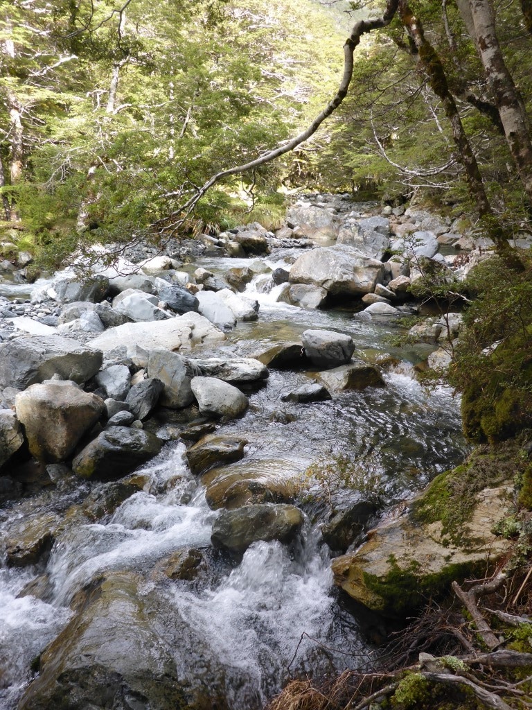
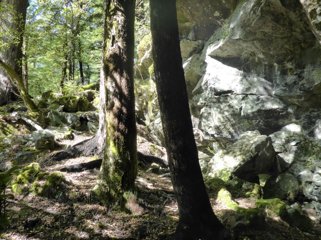 There are some big rocks right through this terrain.
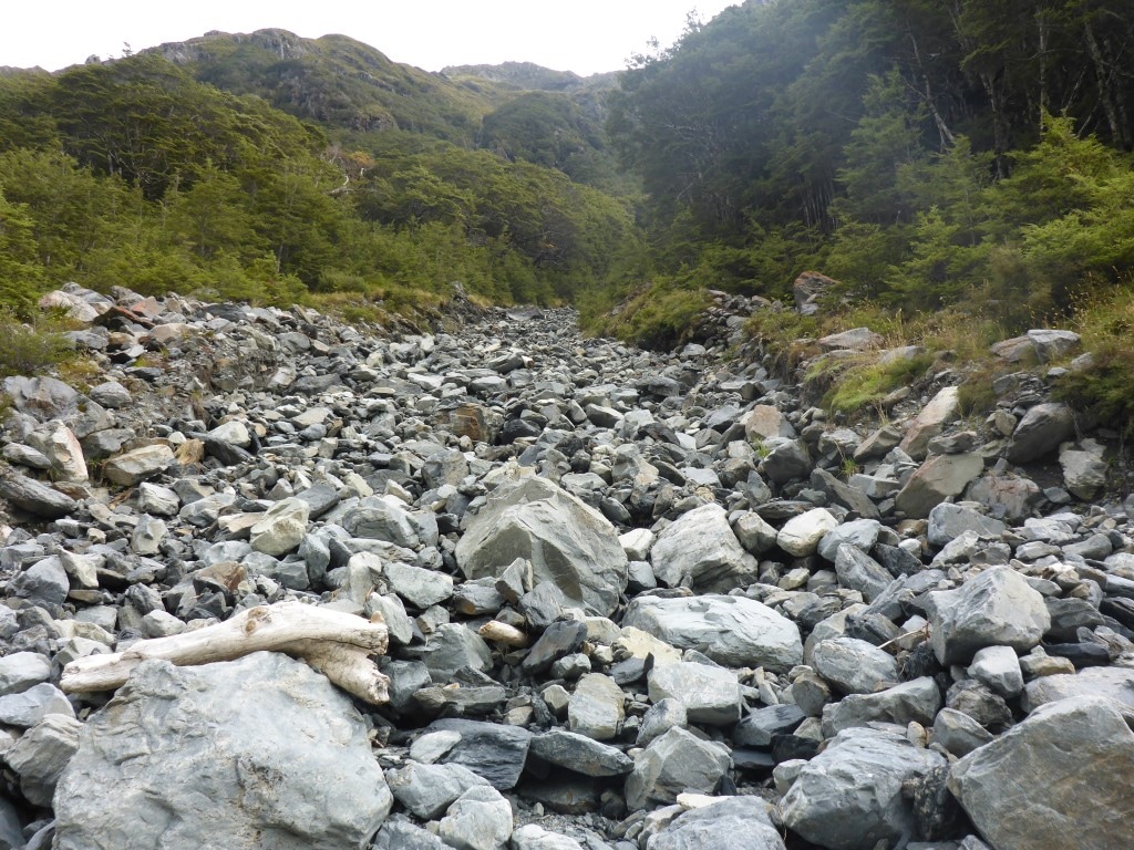
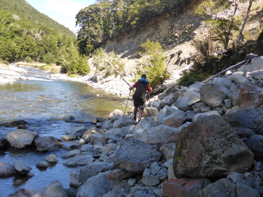 Another boulder/rock slide to negotiate.
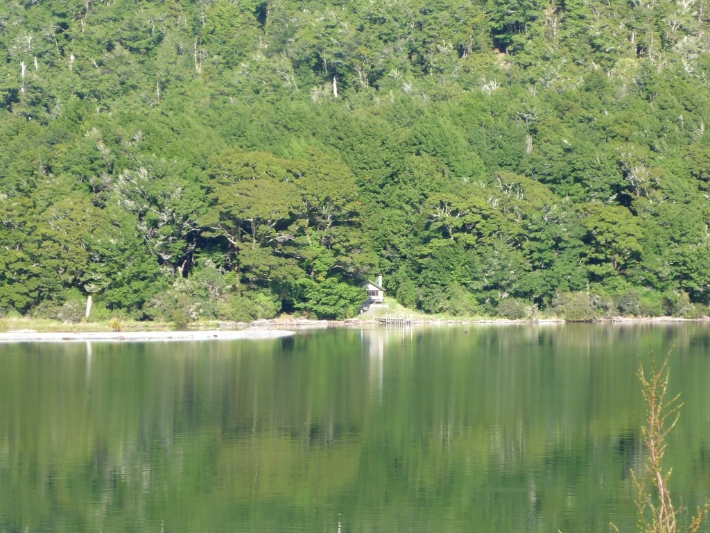
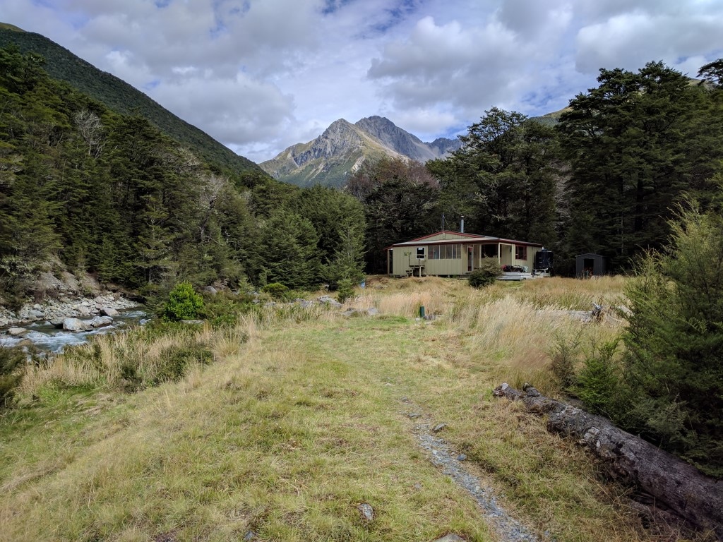 John Tait Hut comes into view. The final stretch was a 6.4km hike mainly following the river up to Upper Travers Hut (1340m asl). B’s sore feet and my rumbling guts slowed us a little on this stretch and, as noted above, we made it to the hut at about 1800. A young German couple, Markus and Nana, were at the hut also. The rain came in just after we got to the hut - Belinda had again done a great job of warding off the weather until we were under cover!! We had a pleasant evening chatting with Markus and Nana, who were good company.
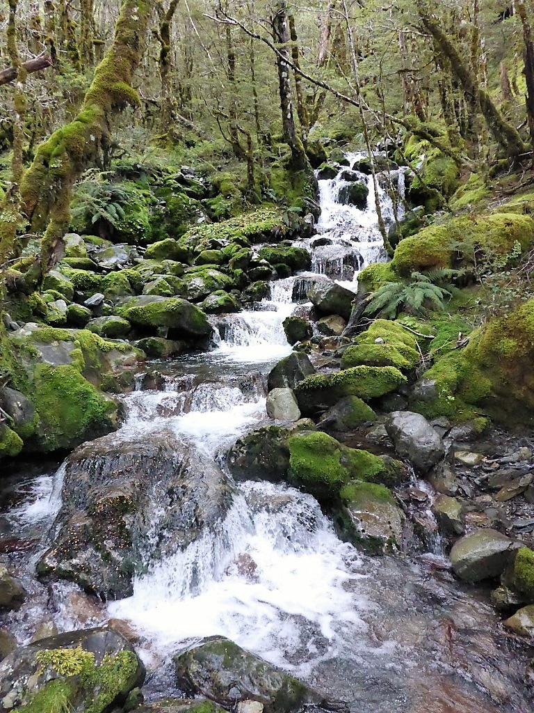
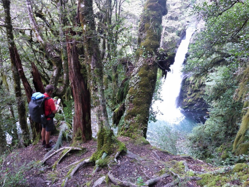 Travers Falls a couple of minutes off trail.
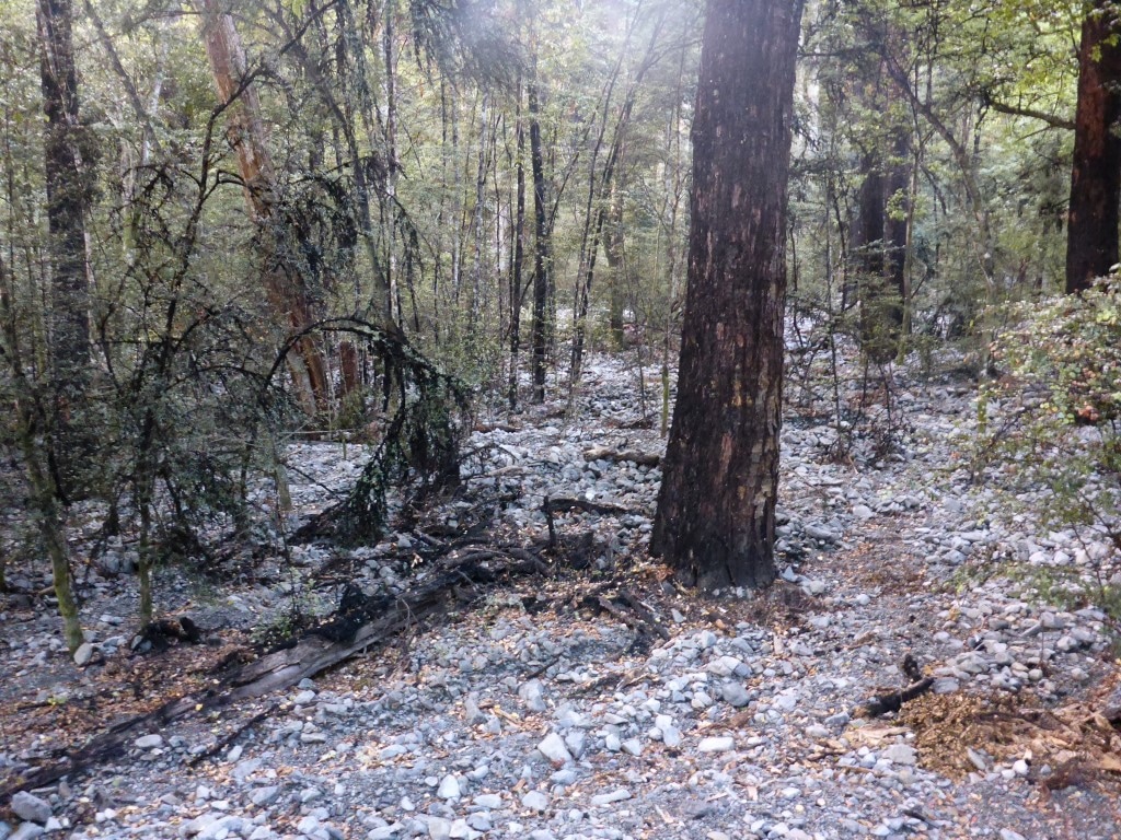
 Another rocky stream bed.
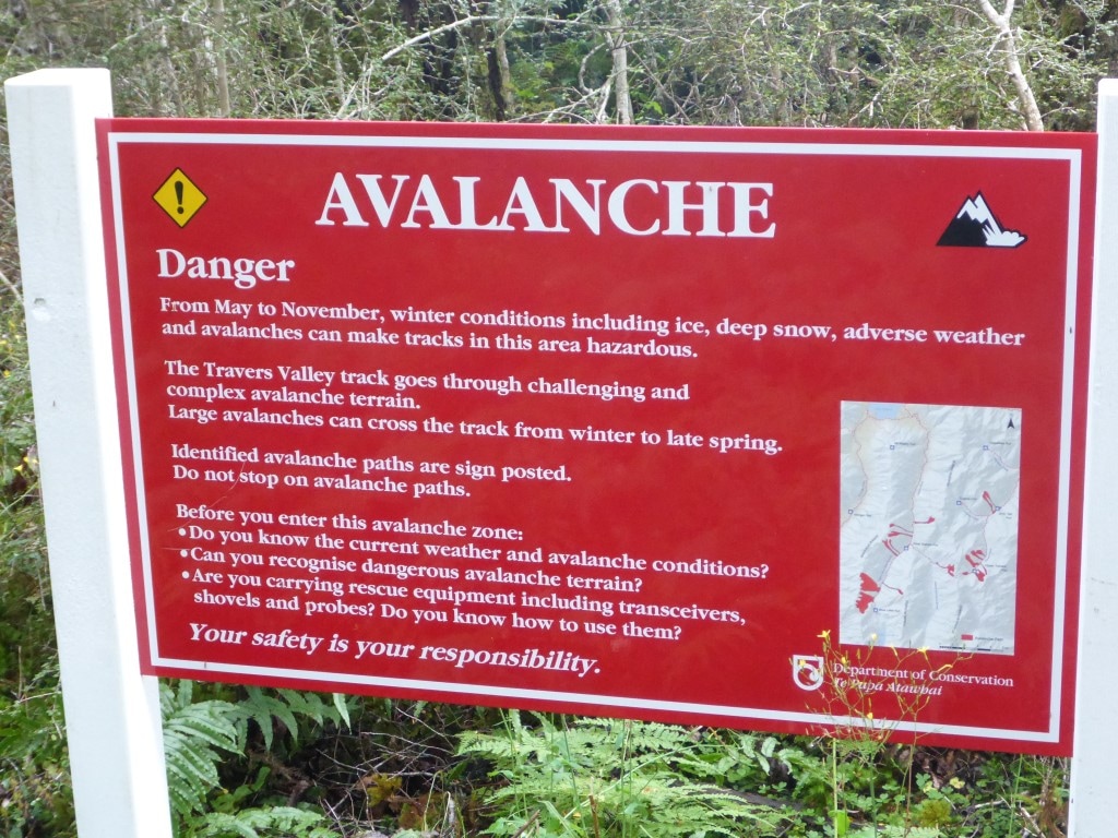
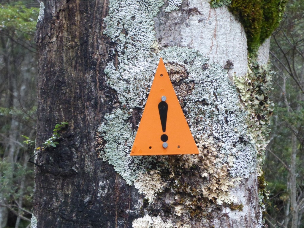 The ubiquitous orange triangles get an exclamation mark added when in an avalanche zone.
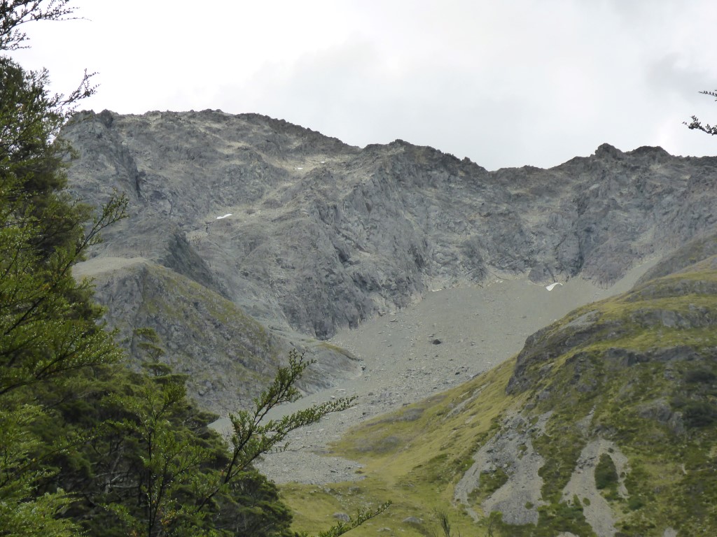
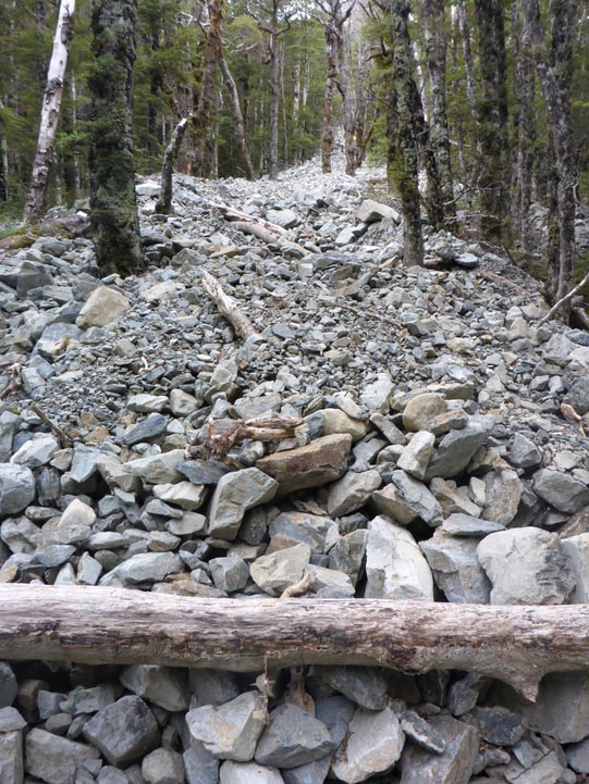 Rockslides, both big and smaller, were evident in gullies all over the place.
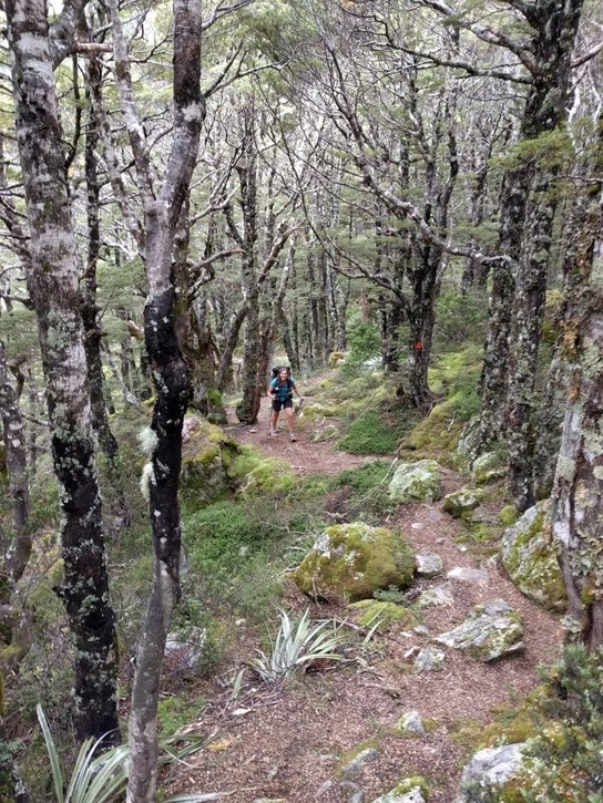 A pleasant bit of track through beeches for a change.
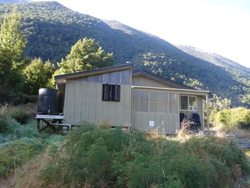
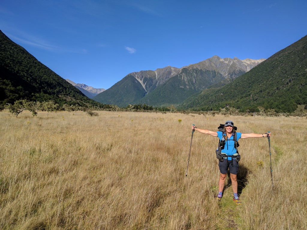
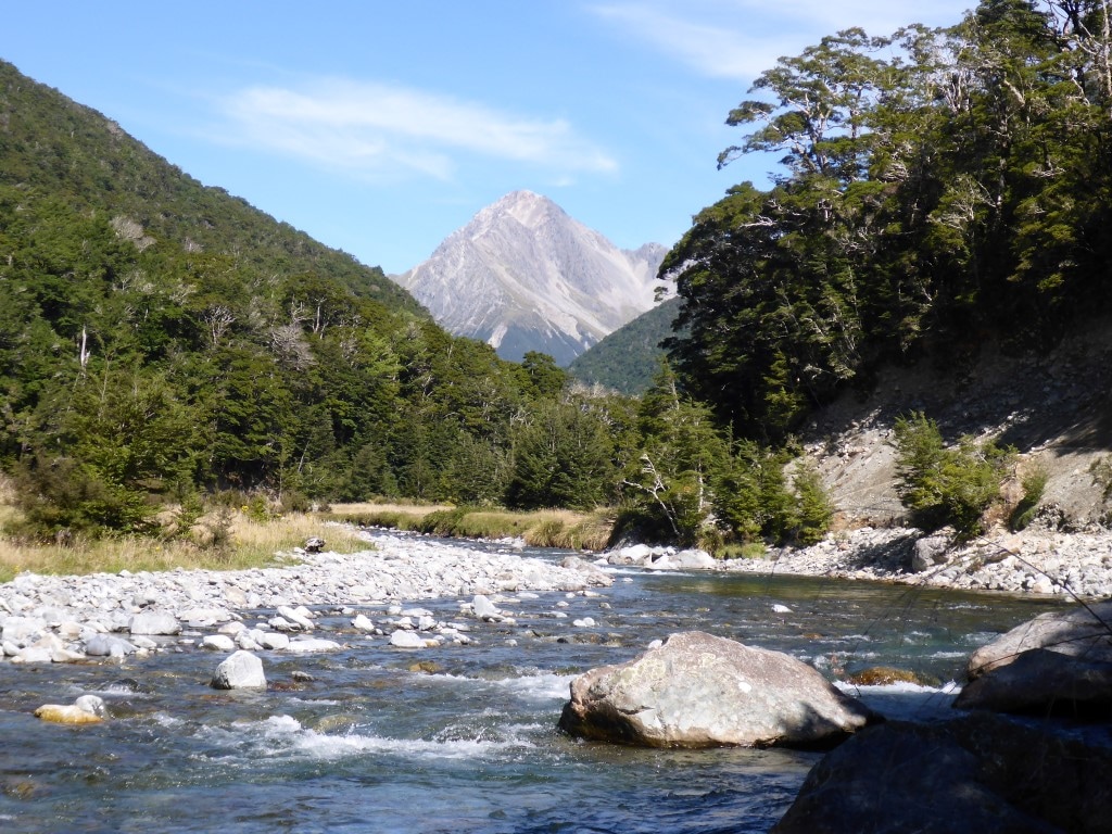
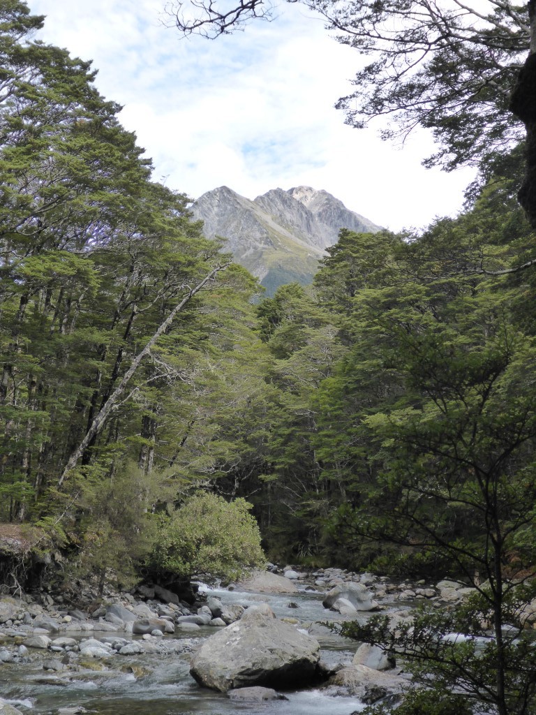
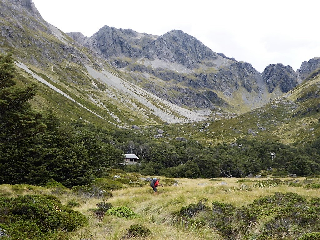 Upper Travers Hut appearing across an area of tussock. 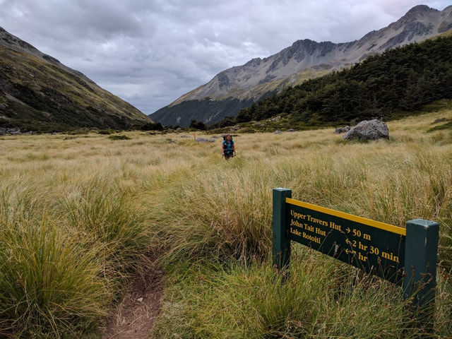 Almost at the hut, looking back down the Travers River Valley.
0 Comments
Leave a Reply. |

AuthorBelinda and Anthony (aka Tony) Hadfield made a decision, in their late 50's, to do something a "bit different" and walk New Zealand's 3000km Te Araroa Trail over summer 2015/16 - although updates will now tell you that this plan will take longer now!!. As the old saying goes - "don't leave home 'til you've seen the country"!! Archives
January 2018
Categories |
 RSS Feed