|
We have been out of cellphone reception for seven days - apart from limited wifi two nights ago - hence no blogs. We have wifi now we are back in Wanganui for tonight (22nd) so I will try and update as soon as I can but it may take a few days to catch up! We set off from the lodge in NP at about 0730, intending to cover at least half of the 53km to Whakahoro today. We ended up doing around 31km, leaving a slightly shorter day for tomorrow. Had a brief chat with our canoe guy, Grant, this morning - the river is still high but we are setting off anyway and he will be there on Saturday where we can make a final decision. Fingers crossed! The GPS data for the day can be found through the following link: https://www.movescount.com/moves/move131949545 A short stroll down the road and over the main trunk railway saw us starting on the Fisher Track. This is also part of the Mountain to Sea cycle trail. This commences as a pleasant gravel 4wd track which is easy walking. There were a few small uphills but the general trend for the day was down - yeah! Although we climbed a total of 200m over the day, we ended up 600m lower! 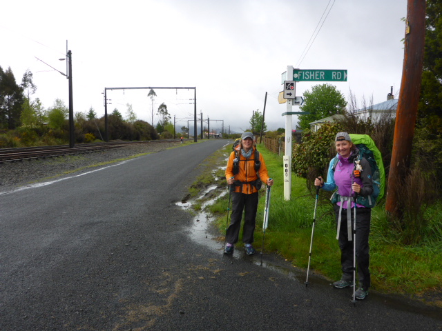 Just leaving NP - at the start of Fisher Rd. Expecting some rain today! 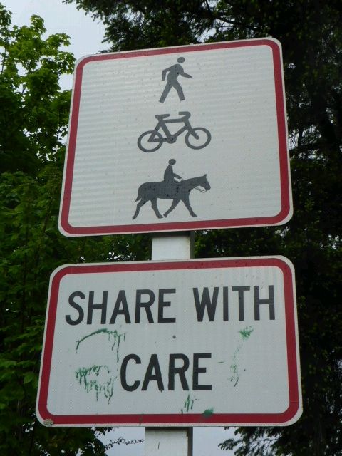 Today and tomorrow's walks are also part of the Mountain to Sea cycle trail, although we only ever saw one cyclist! 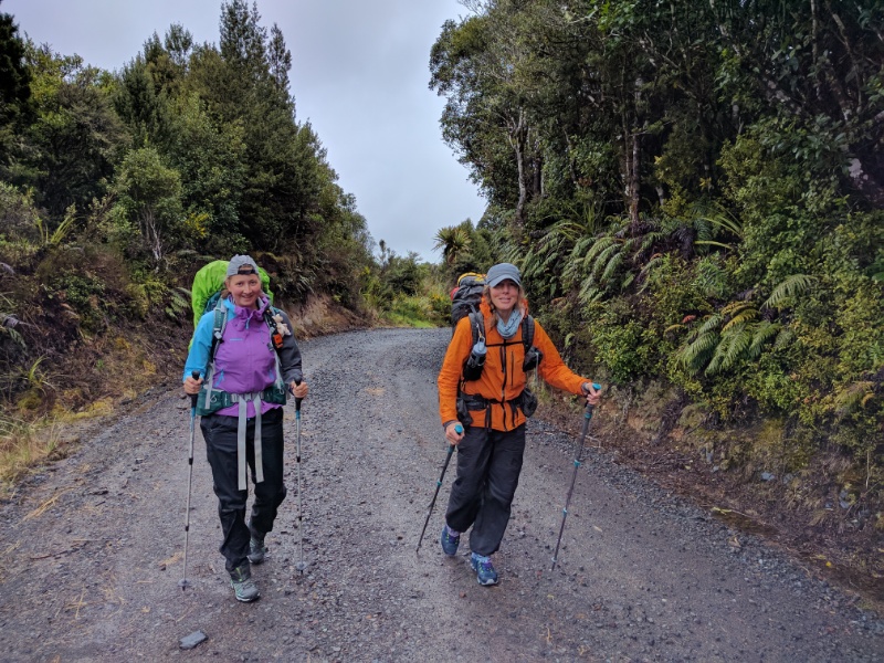 A bit of gentle uphill to start the day! 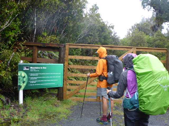 Some of it passes through farmed land so the occasional boundary gate to go through. 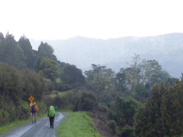 There was a bit of mist and drizzle around - rain gear stayed on for much of the day. This gravel continued for maybe 8-9 km (guess!) before coming to an end at a farm entrance - is amazing how far from civilisation some people live! The track continued on as grass-covered papa which was wet underfoot but still good walking. The weather was variable today with patchy rain all day, interspersed with the occasional sunny break - but it was reasonably cool when the sun wasn't out. This took us through some rugged country which was probably all broken in in the early 1900's, but a lot of which has been left to revert to native scrub and bush. Tough farming country. But there was some farming going on in places including deer fencing, even in amongst the scrubby bits. 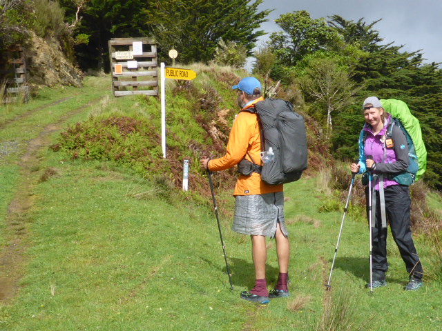 This was where the metal road turned into a grass quad track. Notice of penalties for illegal hunting! 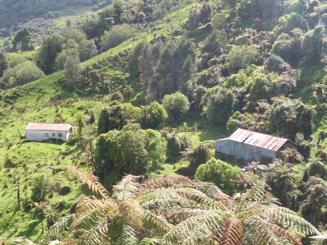 Some seriously tough farming country. 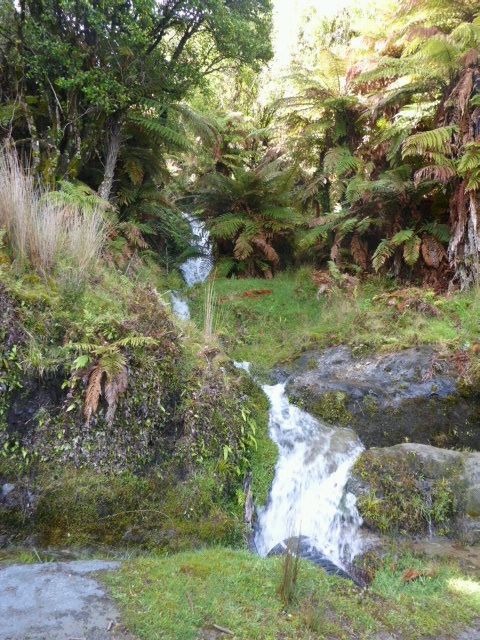 Lots of water flowing after all the recent rain. 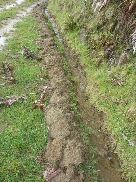 Someone had been there with a shovel to try and keep water flowing in the right direction. 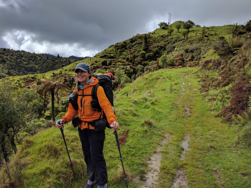 A shot of the track and the type of country we were walking through - with Belinda providing some colour! 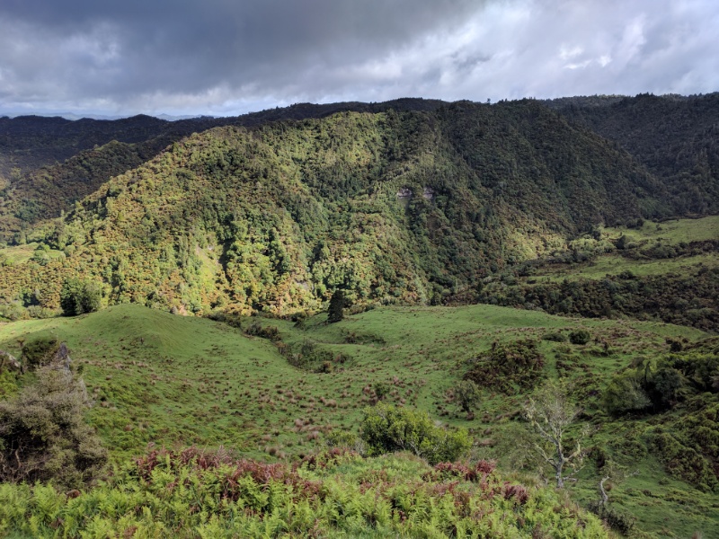 More wild country, but with some farm animals about. 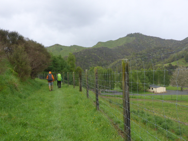 Quite a bit of deer fencing in the area - this is near the end of Fisher Track. After 13km we emerged onto Kurua Rd where we saw a flash house with a grand stone entrance - smacks of an absentee landowner! A couple of kms further down the road we found a large structure made out of the same stone proclaiming Retaruke Estates - we weren't sure whether that was the name of the farm or not. Then we were onto gravel roads - Karua followed by Upper Retaruke. Farming was much more in evidence as we got into valley floors - with what looked like some large operations. Most of the stock appeared to be in pretty good condition. We followed the Retaruke River pretty closely for some time. 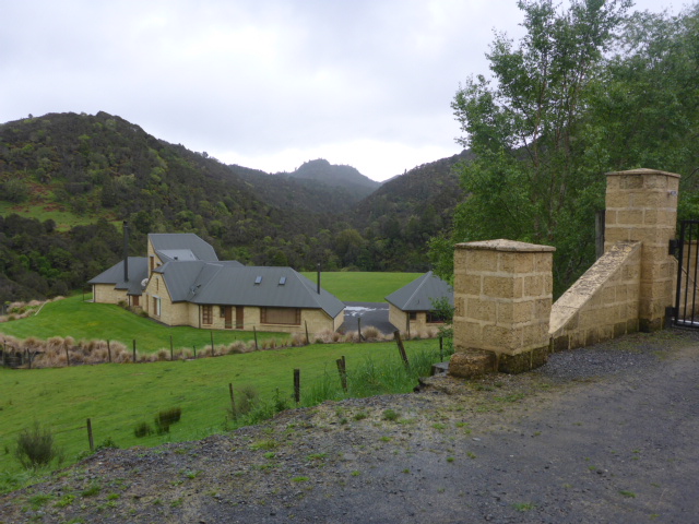 Flash house at end of Fisher Track. 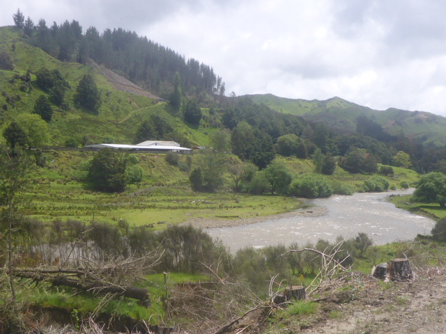 Following the Retaruke River. Large covered sheepyards on the other side. 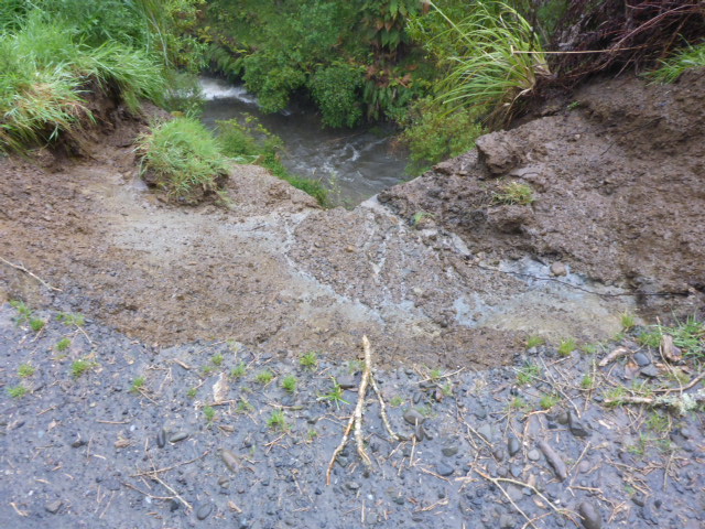 Lots of landslips down into the river with all the rain. 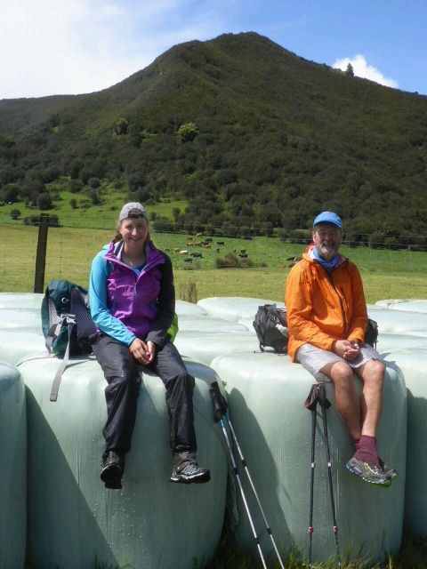 Silage bales made a nice soft seat for a lunch break - great for taking the weight of your feet! 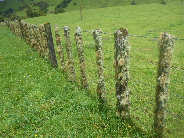 Moss and lichen on battens shows it is a damp climate. 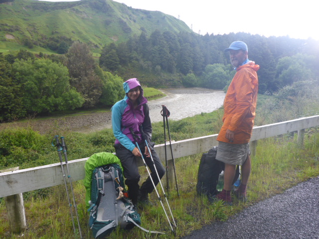 We can confirm the climate is damp!! 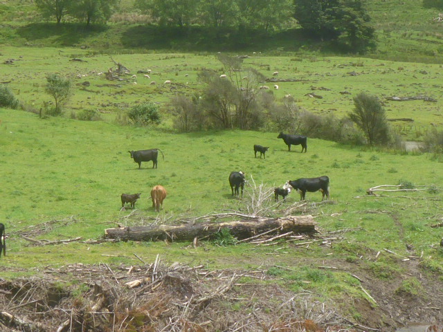 More open country = more animals. Eventually we came to some asphalt and, about a km further on reached the intersection with Oio Rd, which goes out to Whakahoro. We stopped here for a little while as there was a large grassy area here, including a toilet. There is a small cenotaph there and some information boards describing the little general store, blacksmith, post office and saleyard that used to be there. The buildings were long gone but the stock saleyard survived until around 1970. 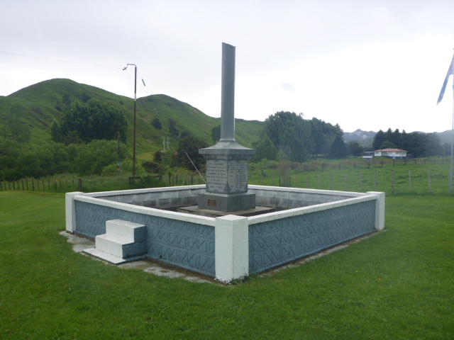 Cenotaph at Kaitieke. 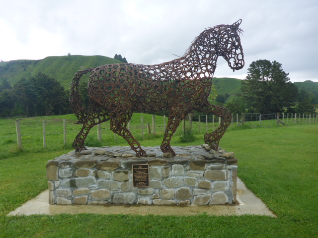 And a tribute to the part horses played in breaking in the farmland - at the same location. It would have been a nice place to stop but it was a bit soon for our plans, so we hiked almost 4km further down the road before finding a spot to put up the tents beside the road. This was only about 1630 but the consensus was it was long enough for today. It rained quite a lot at this stage so it was a bit of a challenge getting everything up, water filtered and dinner cooked while not getting too wet! All done and dusted and ready for sleep by 2000 - even though it's still light! 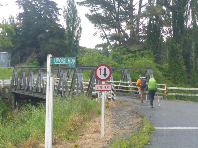 There are dozens of one-way bridges in this part of the country. 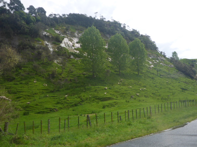 Shiny papa cliff-face, with sheep up to their hocks in grass. 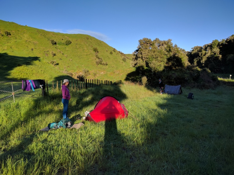 Our campsite beside the road. As noted, we actually set up in the rain - this photo was taken next morning when the sun was coming up!
0 Comments
Leave a Reply. |

AuthorBelinda and Anthony (aka Tony) Hadfield made a decision, in their late 50's, to do something a "bit different" and walk New Zealand's 3000km Te Araroa Trail over summer 2015/16 - although updates will now tell you that this plan will take longer now!!. As the old saying goes - "don't leave home 'til you've seen the country"!! Archives
January 2018
Categories |
 RSS Feed