|
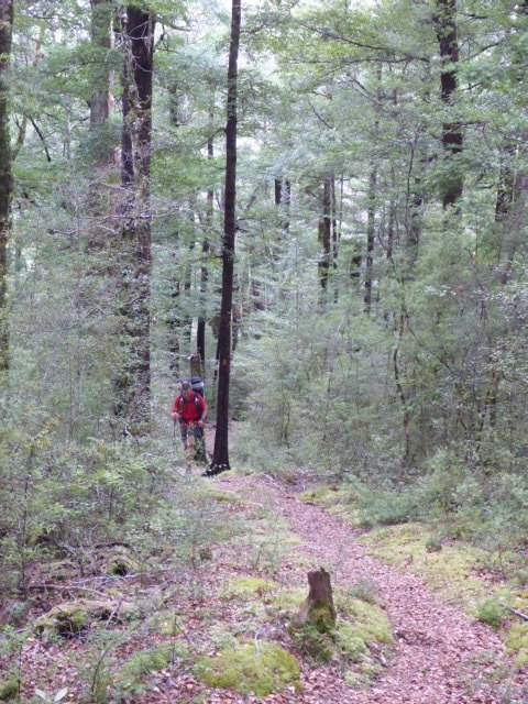
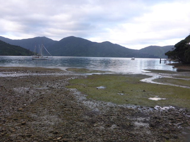
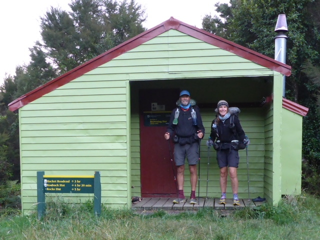
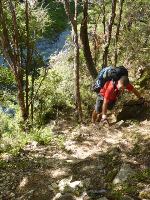
Left Brownings Hut at 0730 and got to Slaty about 1700, covering 15.4km and including 2hrs of stops! About 7 hours of actual walking - with longer than planned stops as noted below. GPS track for the day is here. We headed off downhill through bush, taking only an hour to get to Hackett Hut, which is 180m lower than Browning. Hackett Hut is quite close to a roadend and seems to suffer a bit of misuse. We were quite glad we stopped where we did last night! Then it was a 900m vertical climb to Starveall Hut.
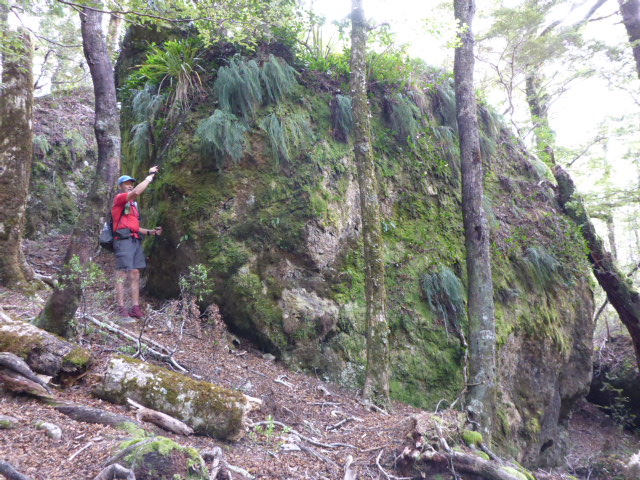
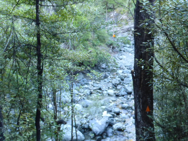
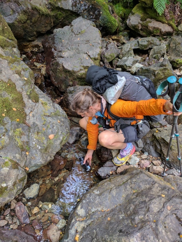
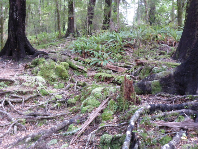
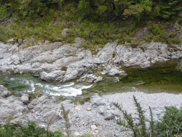
 Rocks and water are always involved!
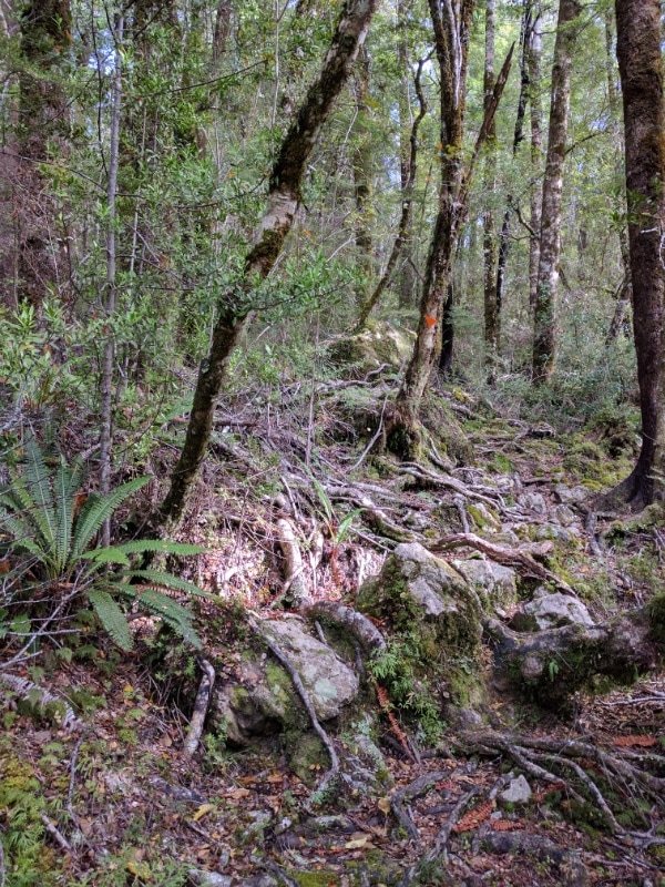
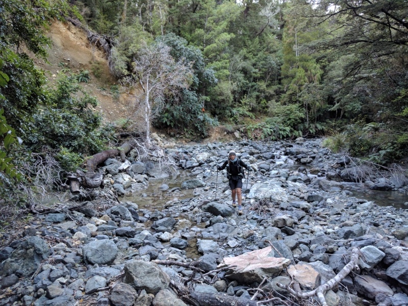 But always more rocks around the corner somewhere.
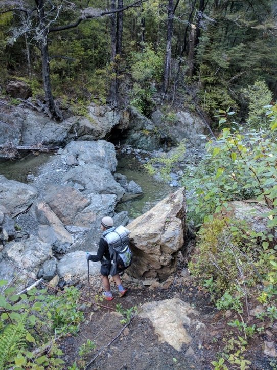
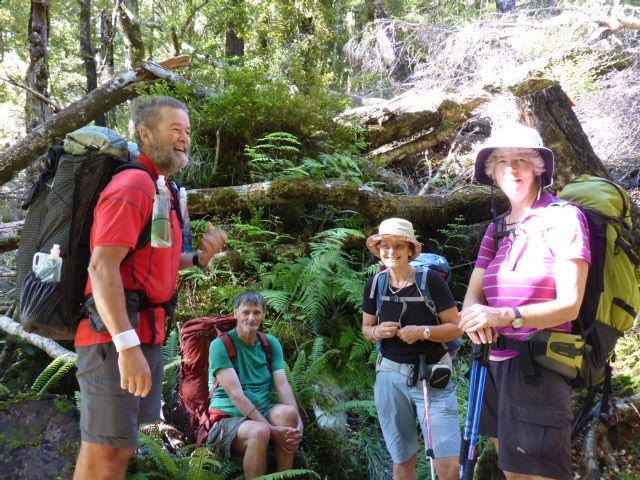
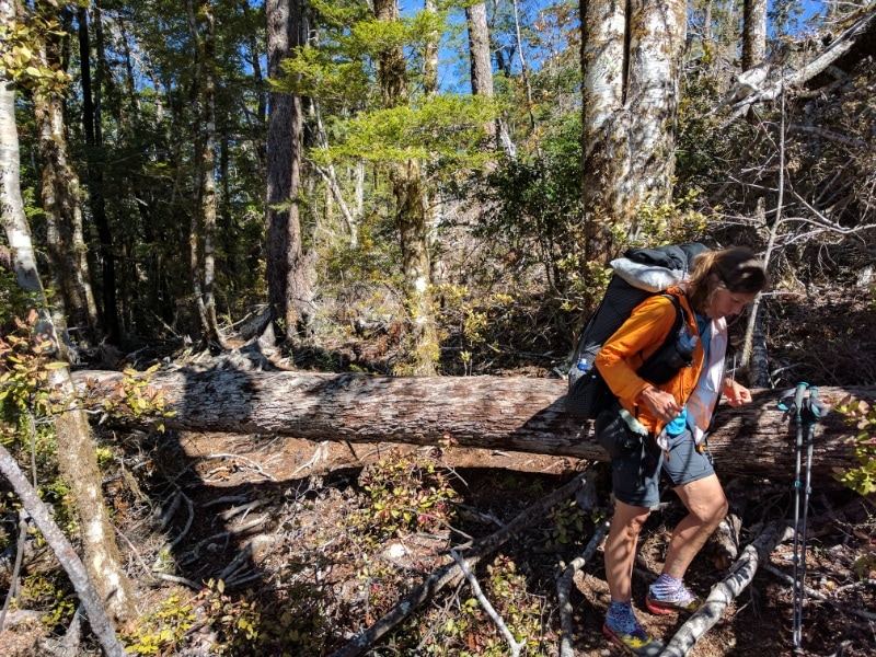
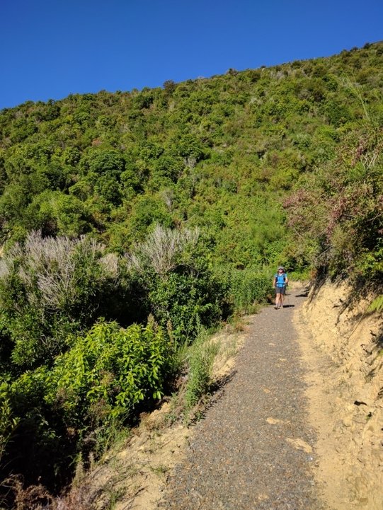
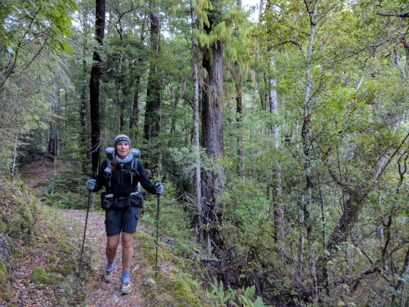
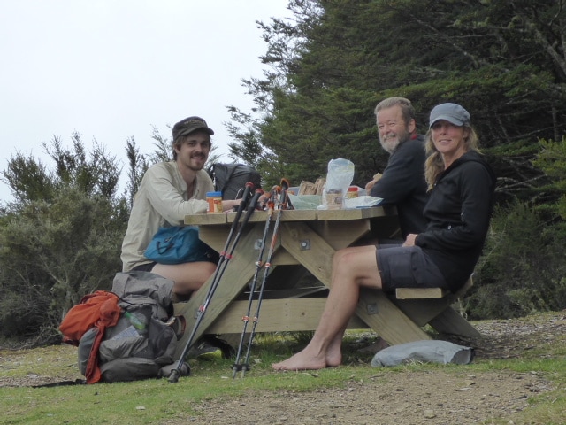
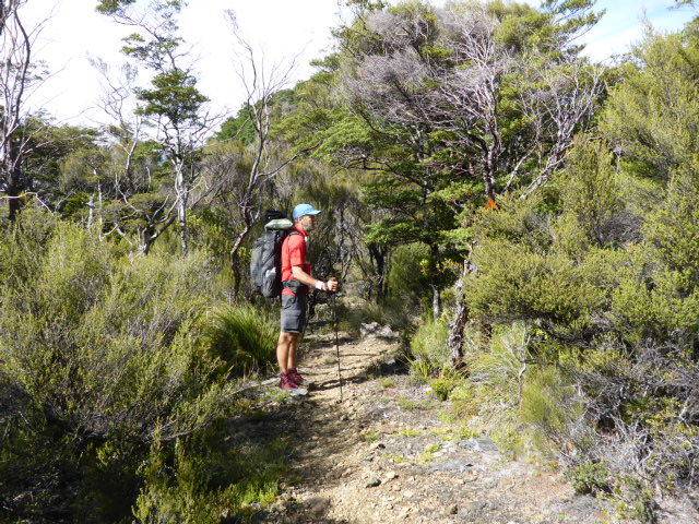
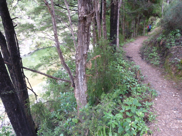
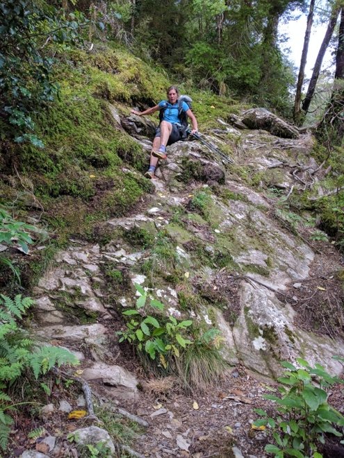
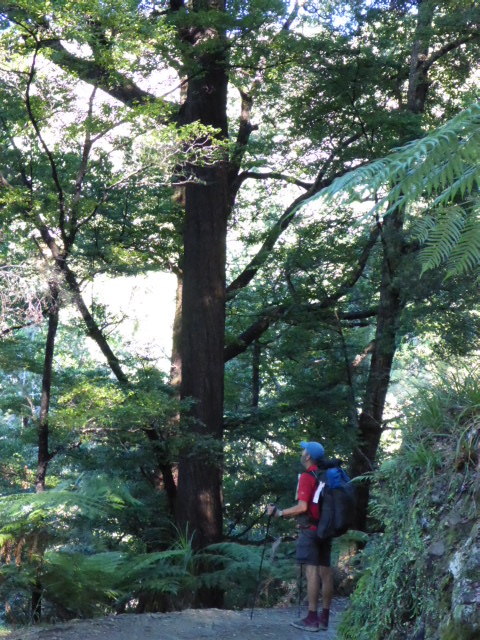
We started off following the Hackett River which involved several crossings and some time walking up the river on boulders. B decided to go wet feet, I managed to stay dry. Then it was off up the hill through bush. The going underfoot was ok, just steep. On the way up we meet a Swedish girl and English guy nobo. Stopped for a brief chat and we asked where Anna was from - she said she was living in Stockholm, having just completed medical studies, but originally from Ostersund! She was surprised when we said we had a number of friends in and around Ostersund!! It's a very small world! About halfway up we stopped for 15 mins and just as we were about to head off we were joined by three kiwis coming down. Ron and Rose were older than us and their friend Mary was similar age! They are section hiking (and biking!) TA. Fantastic to see other older kiwis out doing it! On up to Starveall Hut at about 1150m asl where we stopped for an hour for a "recovery" lunch. Met a young American nobo called Martin ("cool" Martin!).
 About halfway up we ran into Ron, Mary & Rose. 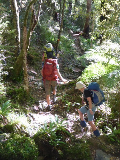 Rose, Ron & Mary heading down after our chat.
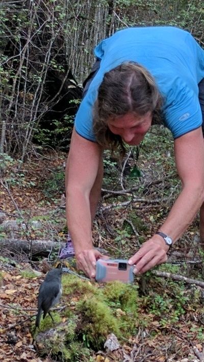
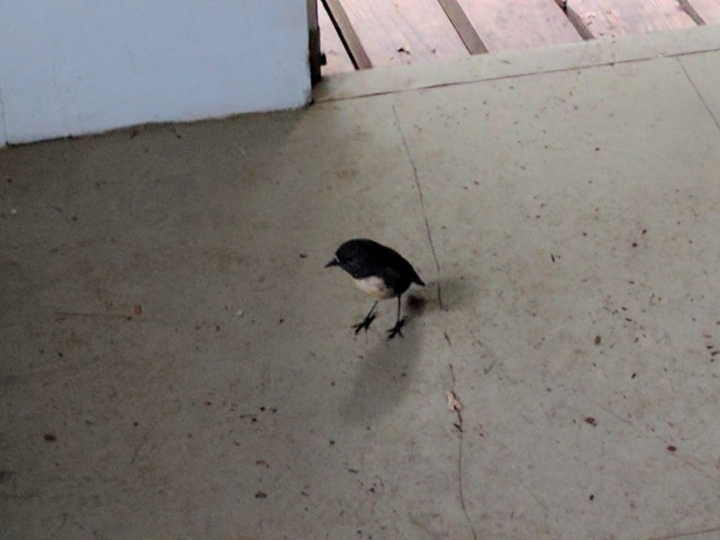
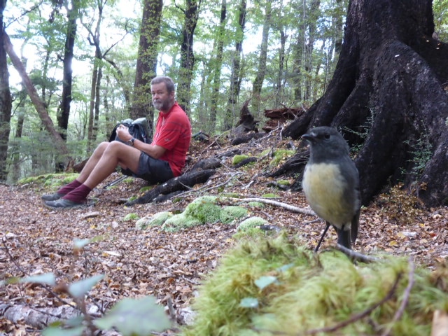 Stopped for a break with this cheeky robin.
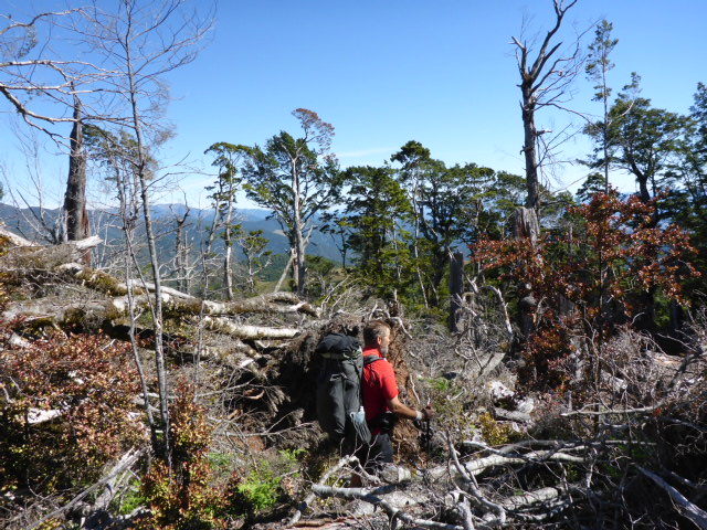
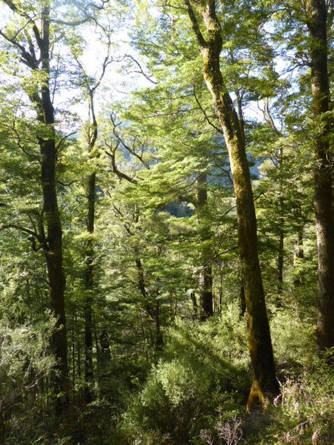
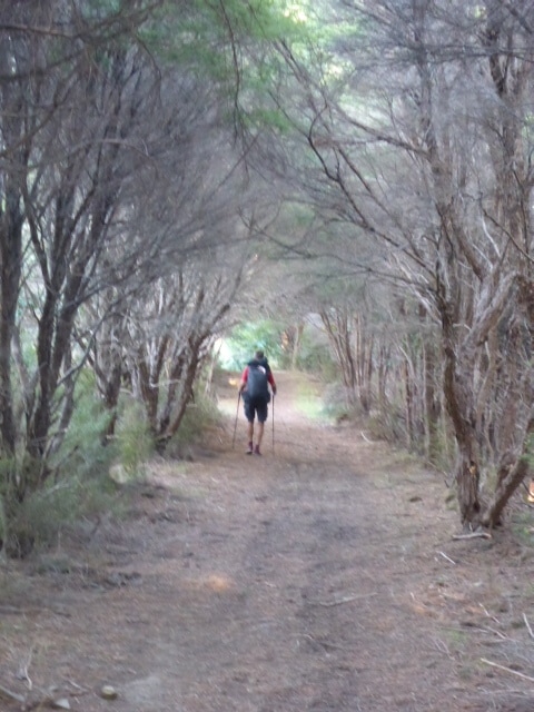
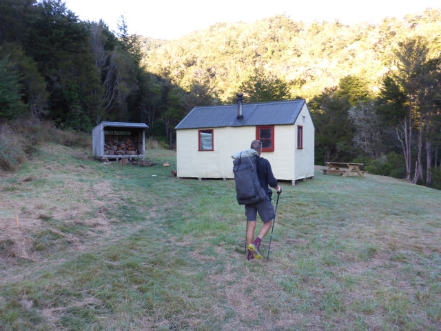
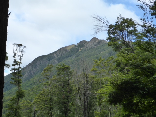
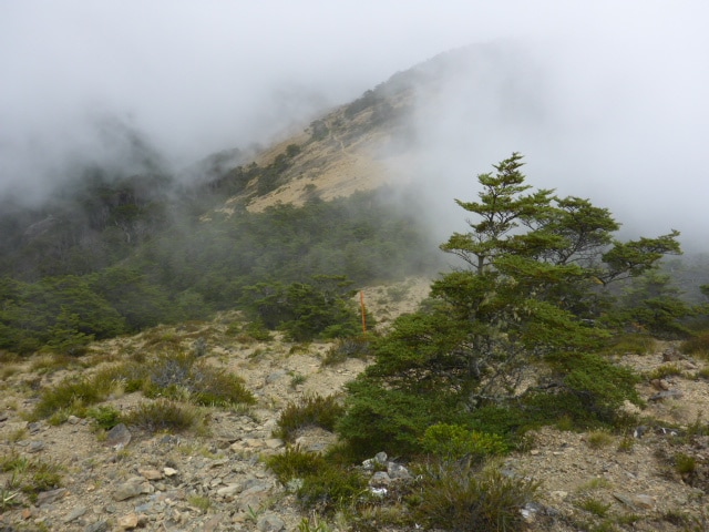
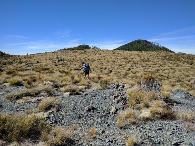
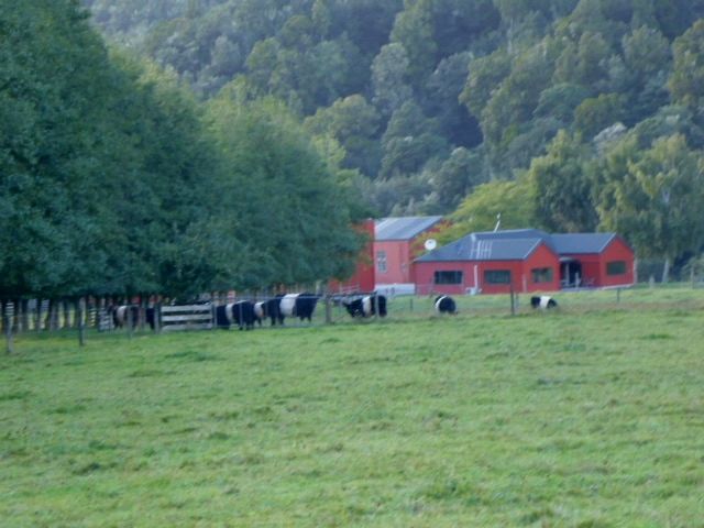
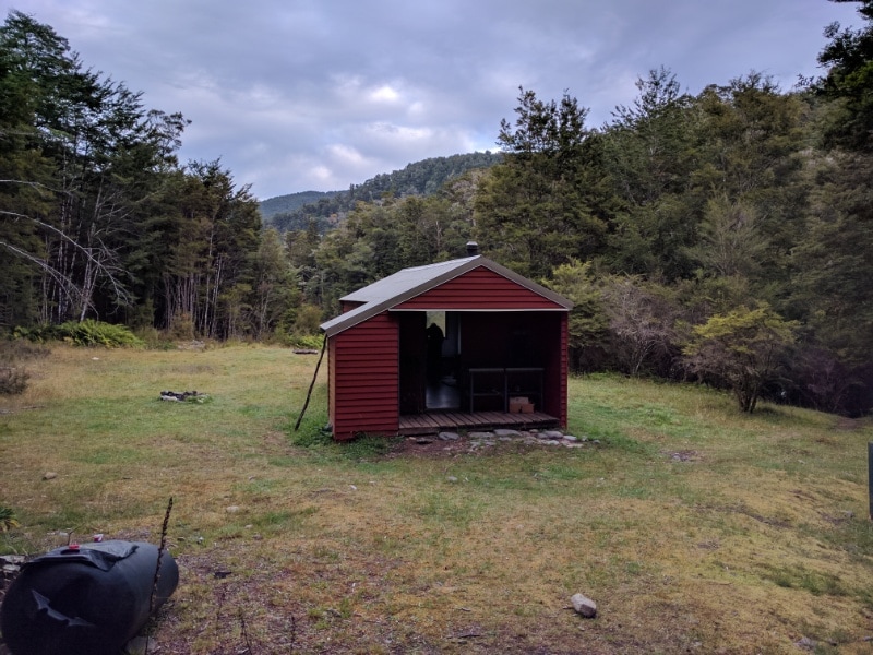
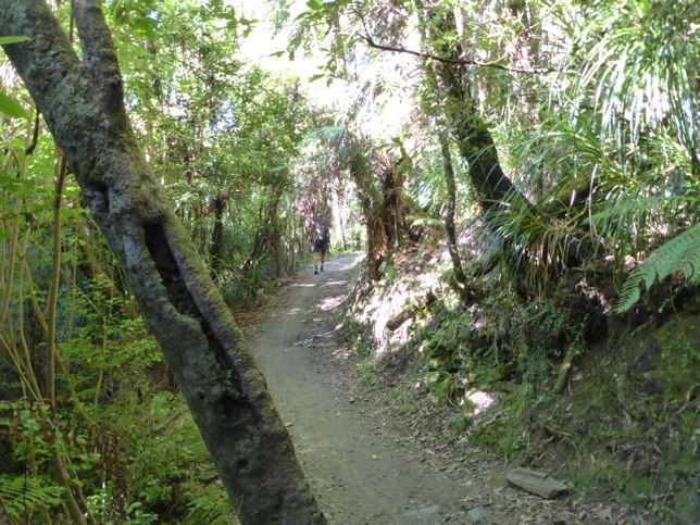
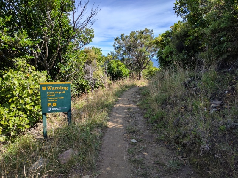
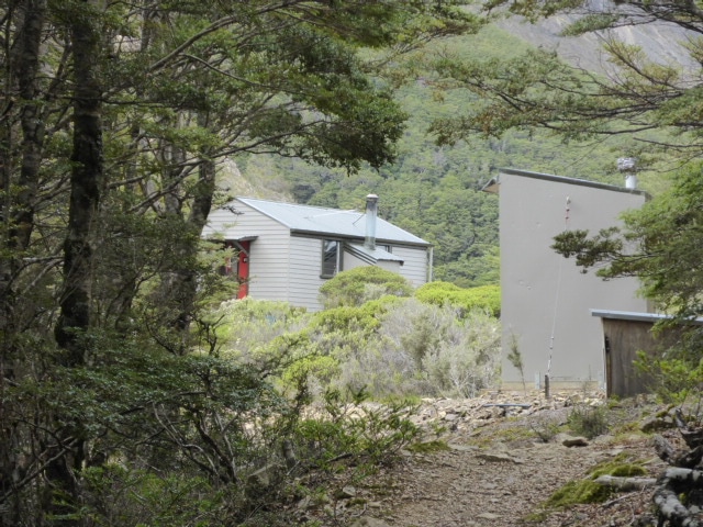 Starveall Hut appears after a 900m vertical climb from Hackett.
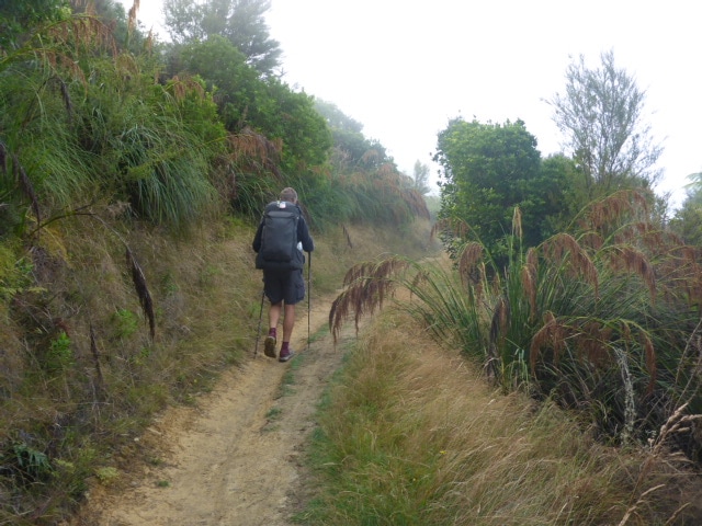
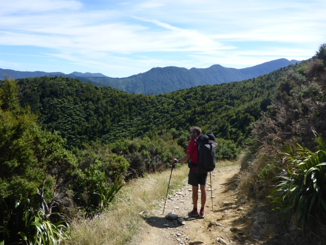
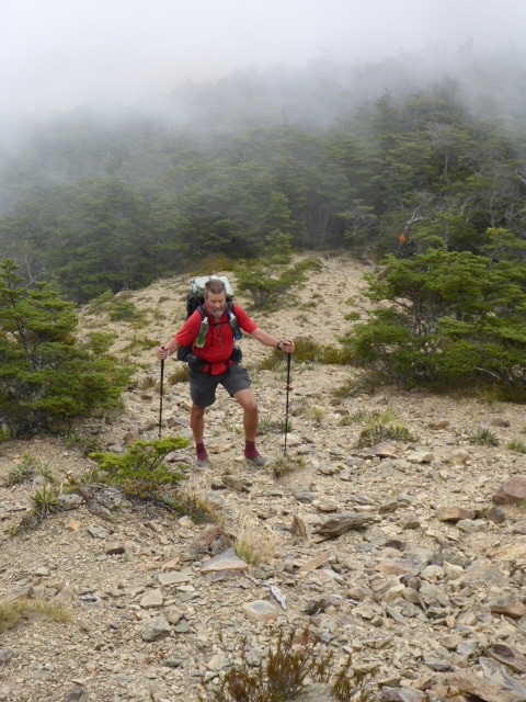
 Martin on his way nobo. Then it was off for another 400m climb followed by some up and down before reaching Slaty Hut at about 1400m asl. The mist had started to roll in by now so we were hoping it didn't get too bad as we went up!
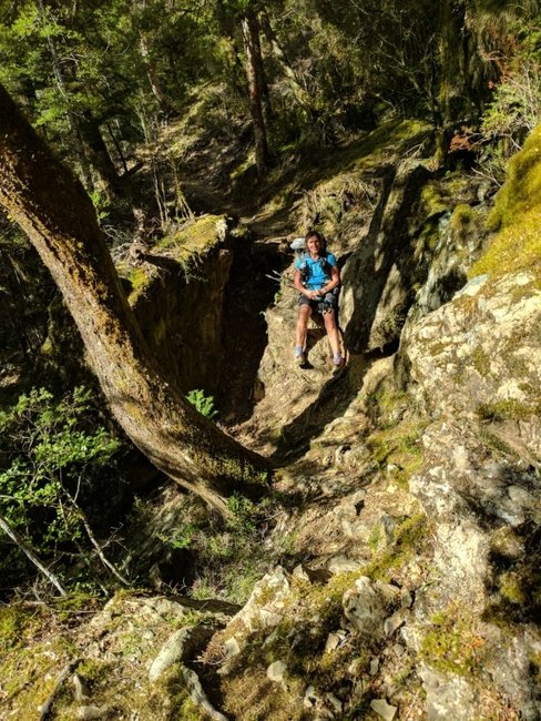
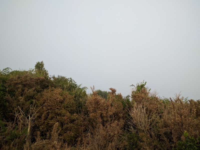
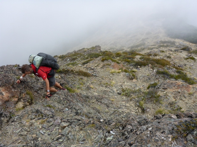 I'd forgotten that there were a few slightly steeper bits on this climb! 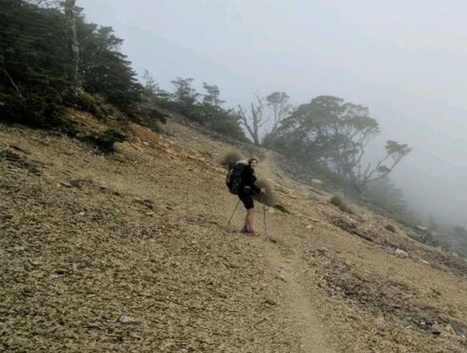 A gentle scree slope to walk on for a bit of variety.
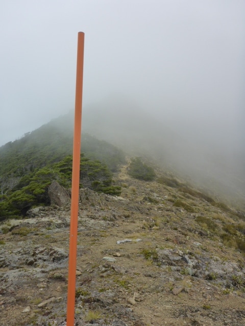
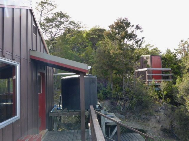
 Luckily the mist never really closed right in even as we got higher. There were two older kiwi guys with one of their daughters and a friend at the hut (6 bunk) - they were also expecting another person so we decided to tent instead. One of the guys, Adrian, had earlier scoped out a possible tent site which we managed to squeeze into with a bit of basic leveling and clearing. We popped into the hut later for an hour or so for a chat before hitting the tent about 1930. 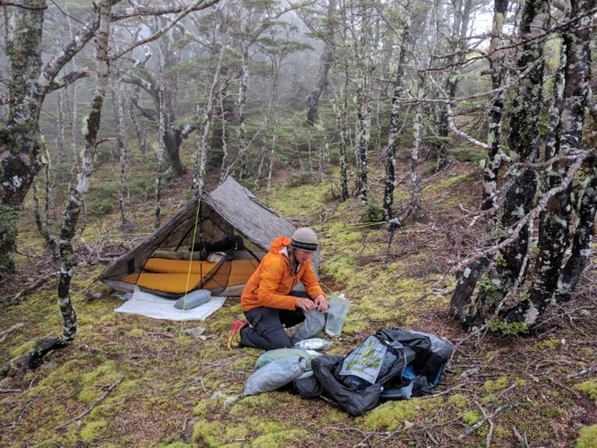 Tent spot just in the bush margin, about 100m from Slaty Hut.
0 Comments
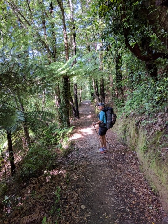
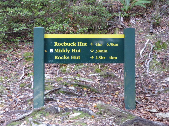
I got up about 0630, which seemed to suit the other hut residents as well! Got away about 0830 and ended up stopping at Browning Hut at 1630 after 16.4km. GPS for the day is here. Jack and Alisa set off about 30 mins before us and Henrick just before us, although he of course is nobo. Turns out that Middy was the last stop together with J & A as their young legs started to outdo ours! The start from Middy Hut was a 650m vertical climb over almost 5km. It was steady and relentless until almost at Rocks Hut, when it evens out a little. It wasn't too bad and we ended up doing it in about 2.5hrs plus a stop half way! Slightly faster than the notes suggest so not bad considering I thought I was really dawdling! Belinda, as always, goes a bit better uphill than me. With a lot of this stretch, the going was mainly roots and rocks through beech forest.
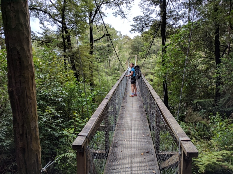
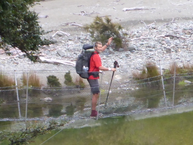
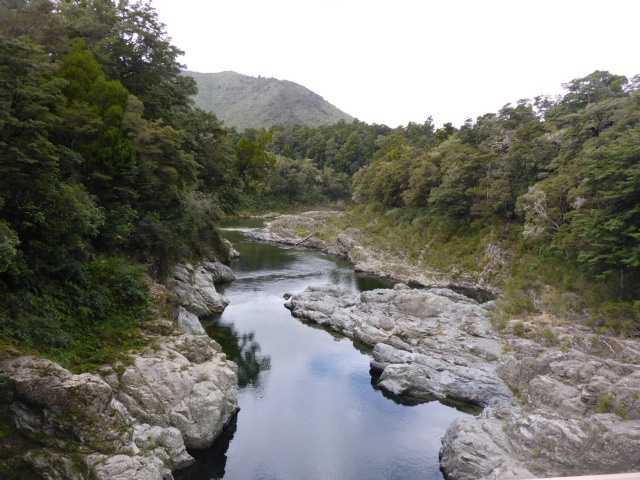
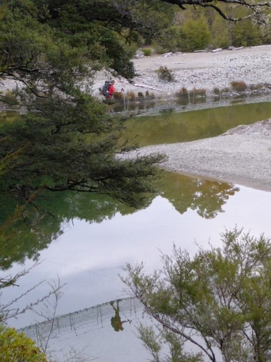 That's actually me on the first swingbridge of the day. B captured the reflection in the river :-)
 Up the hill - good underfoot at this stage.
 A large moss covered rock.
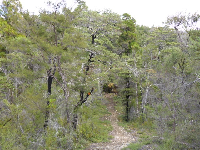
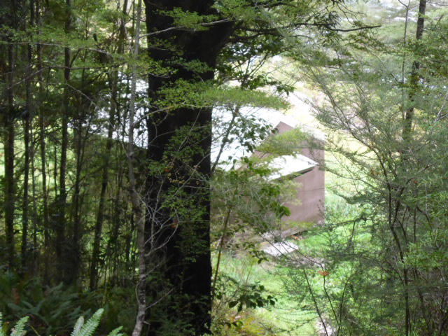
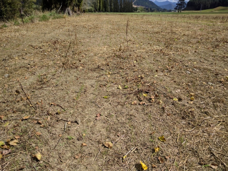
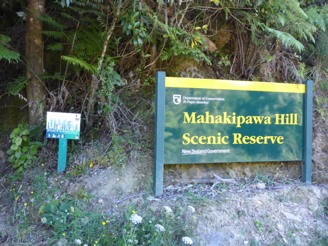
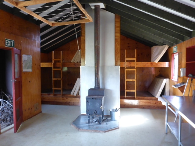 Inside Rocks Hut. A 15 min break at Rocks Hut (flushing toilet!!) and we were of south in the direction of Browning Hut and Hackett junction. We weren't sure how far we would go but were both a little weary and leg-sore so we prepared to stop early. Especially we have a 900m vertical climb from Hackett to Starveall Hut early tomorrow! This 11.5km section to Browning Hut was a mixture of more beech forest and some open tops - there was an interesting barren patch apparently as a result of the mineral composition of the soil. The forest was up and down and again involved a lots of rocks and roots - so the going wasn't fast, although the track is well used.
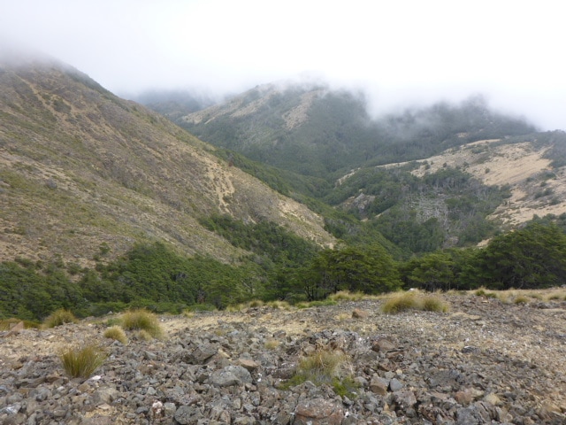
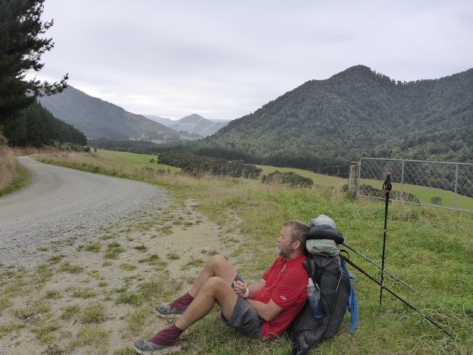
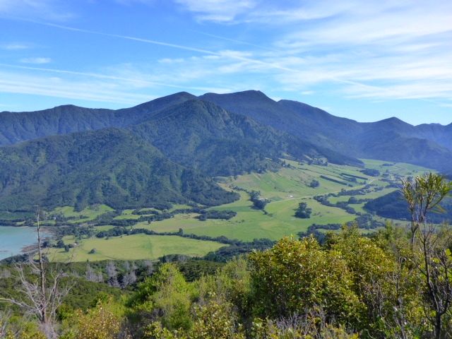
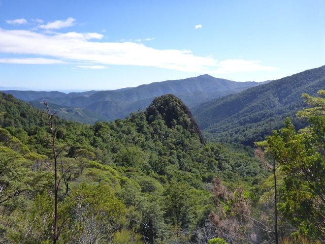
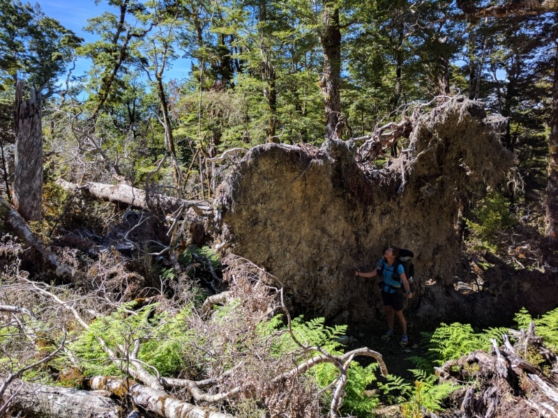
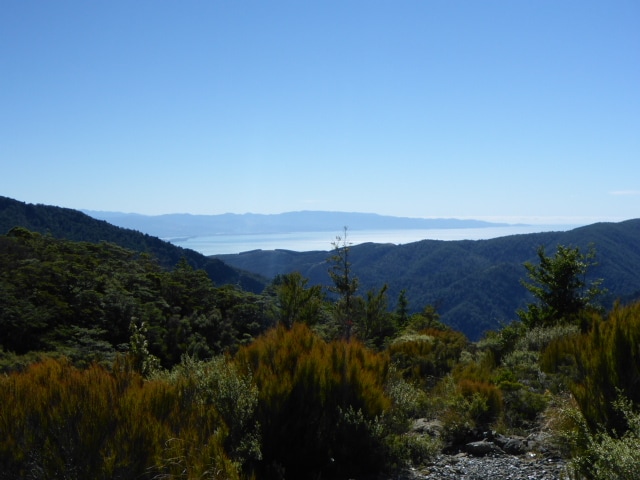
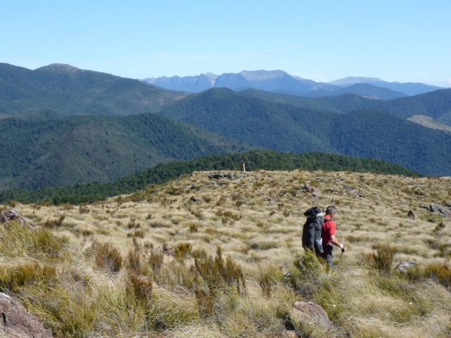
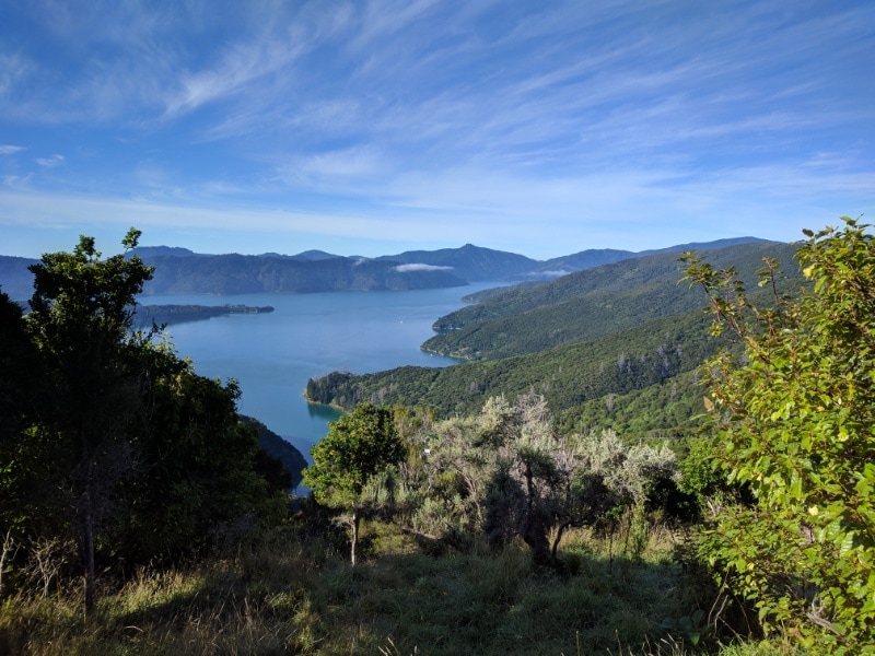
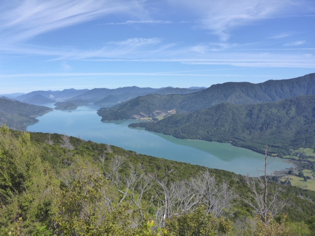
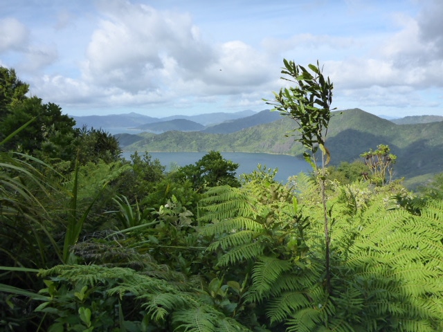
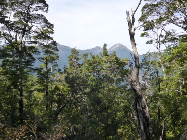 Views in the direction we are heading. Near the tops there were significant areas of storm damage from a few years back, with fallen trees everywhere. It must have been a mammoth task for the DoC guys to clear it at the time! We got some good views of the Ranges from the tops and could also see back down to Nelson - couldn't see the town itself but I could see Rabbit Island! Briefly bumped into two nobo TAers today so there are certainly a few still on the track.
 A more recent casualty to get over.
 Significant areas of fallen trees are obvious. 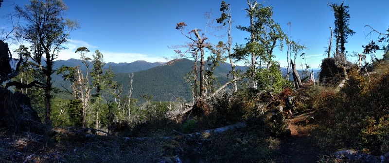 Panorama showing views as well as earlier tree damage. 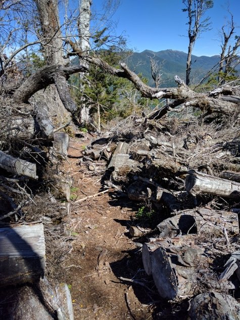 This was DoC cutting a path through a maze of fallen trunks! Hard work!
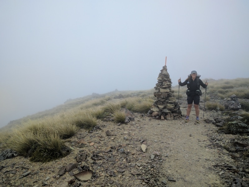
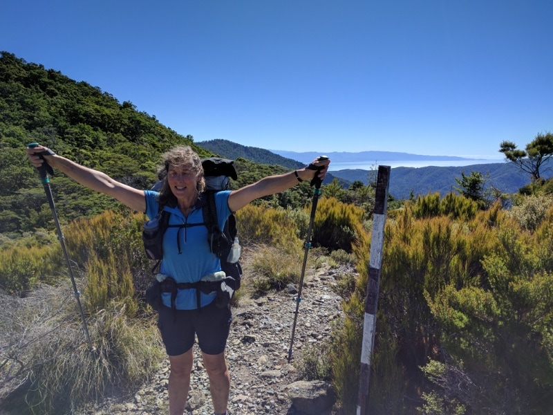 Any sort of marker pole is cause for celebration! Nelson again in background.
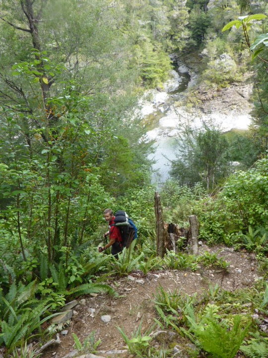
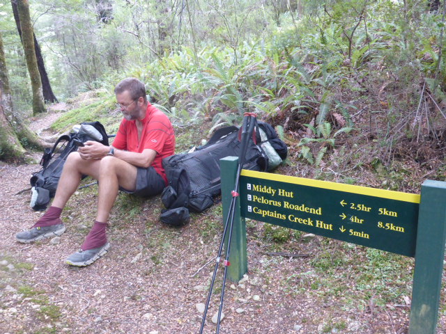
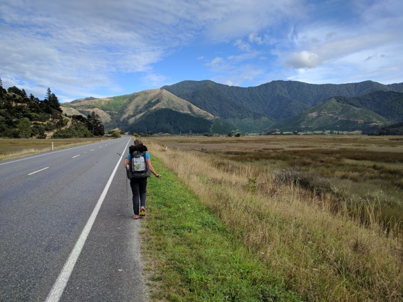
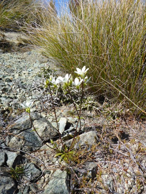 Local flora to pretty things up :-) We had quite a step downhill pinch near the end which was tiring on the legs but we decided to stop at Browning Hut at 1630 or so. Gave us time to wash a couple of things, dry out the damp tent and groundsheet, and put the battery pack on the solar charger for a top up! I should mention that most of the day it was pretty fine and was glorious by the time we stopped! We have not had to don the rain jackets yet! 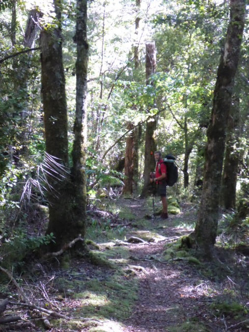 Downhill stretch to Browning Hut. 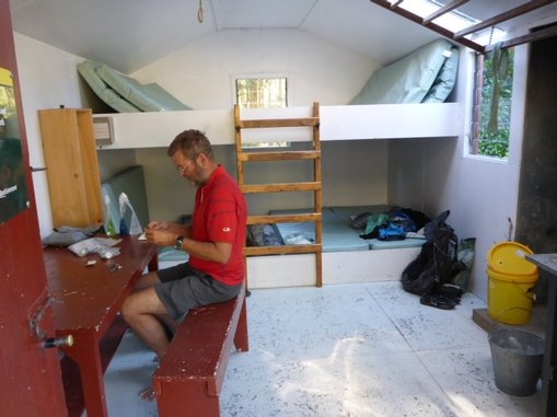 Lovely little 8 bunk hut all to ourselves :-) .We kicked of about 0800 and ended up doing about 31km, including a couple of short side trips, taking about 10 hours in all, including breaks, to reach Middy Hut, arriving just before 1800. The day's GPS is here. The day started by crossing back over the bridge to rejoin the trail at Maungatapu Rd. It was a 14.5 km road walk, on asphalt then gravel, to reach the start of the Pelorus River Track trailhead (despite TA saying 13km, letterbox numbers and my Suunto confirm it's longer!). This part was through a mix of farmland, exotic and native trees.
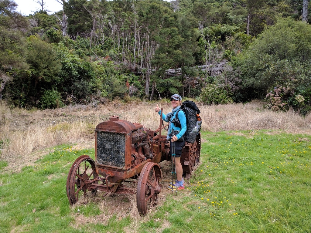
 Interesting display!
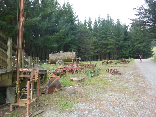 Looks similar vintage to some of the machinery we have at home!
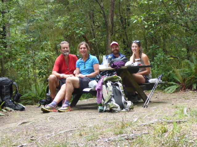
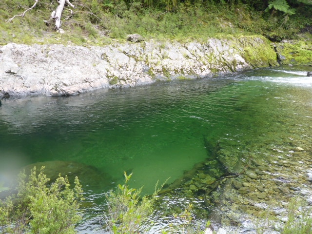
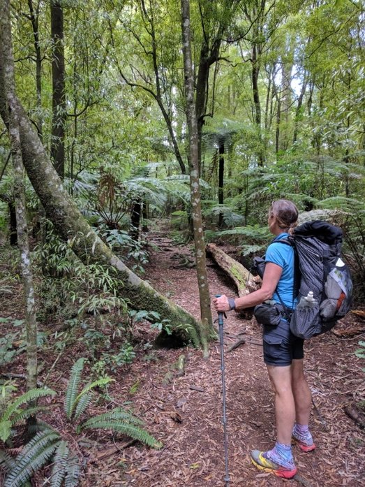
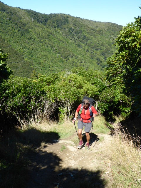
 If there is nothing around, you create your own back rest. 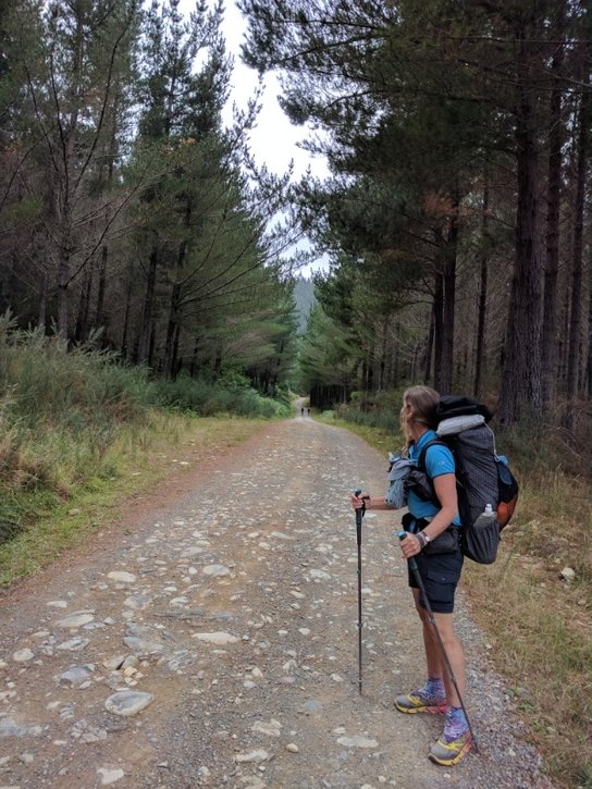 Jack & Alisa coming up behind after we passed them when they stopped for breakfast on the road. Then it was onto the track. About an hour in we reached emerald pool, which is just off track, where we decided to stop for some lunch. Turns out Jack and Alisa were there ahead of us so we stopped for some lunch together before they headed off. Another half hour saw us reach Captain Creek Hut. We stopped for a quick nosy and filled in the hut book. I checked out the longdrop but it had a dozen or more wasps in it so that was a no go!! It was here I also discovered I had lost one tungsten tip on a pole and the other was loose, with the internal thread stripped - so I took that one out and proceeded with no tips. 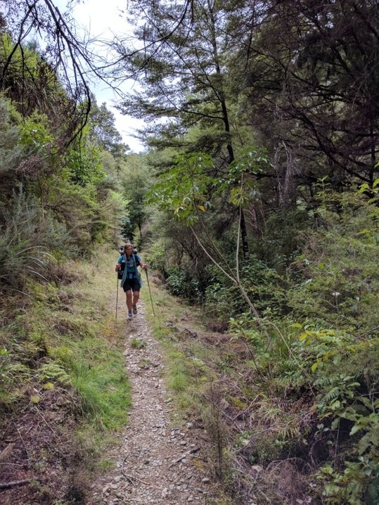 B powering up the Pelorus River Track!
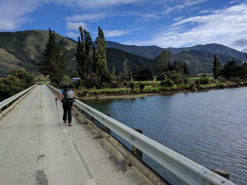
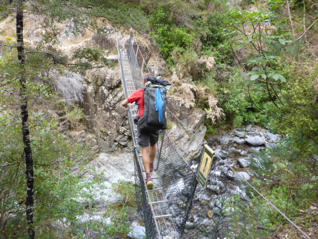 Swingbridge number one!
 Lunch at a real table with Jack and Alisa - Emerald Pool.
 Nearing Captain Creek Hut.
The route from there to Middy Hut was through beech forest (with plenty of wasps in evidence), going up and down mainly following the Pelorus River - including several swingbridges to negotiate (I think three from memory?).
 But beech is beautiful to walk through, despite the ever present wasps.
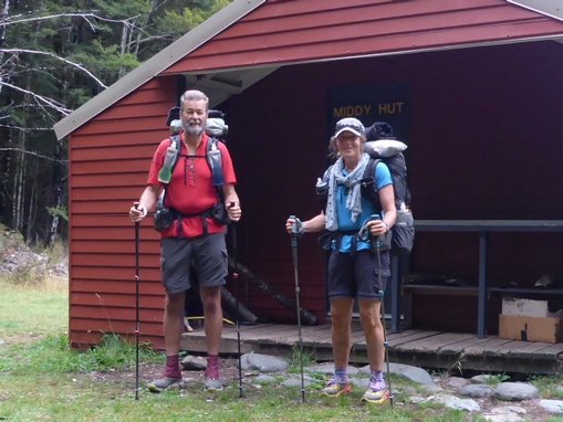
 And again .... !! 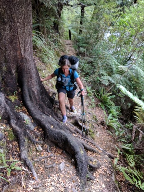 No sitting down over this root system! We arrived at Middy about 1800 to find Jack and Alisa had stopped there as well. There was also a young German nobo, Henrick. J & A kindly offered to take the top bunks so we oldies didn't have to climb - very nice of them :-)
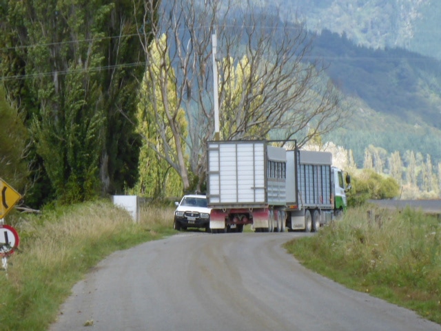
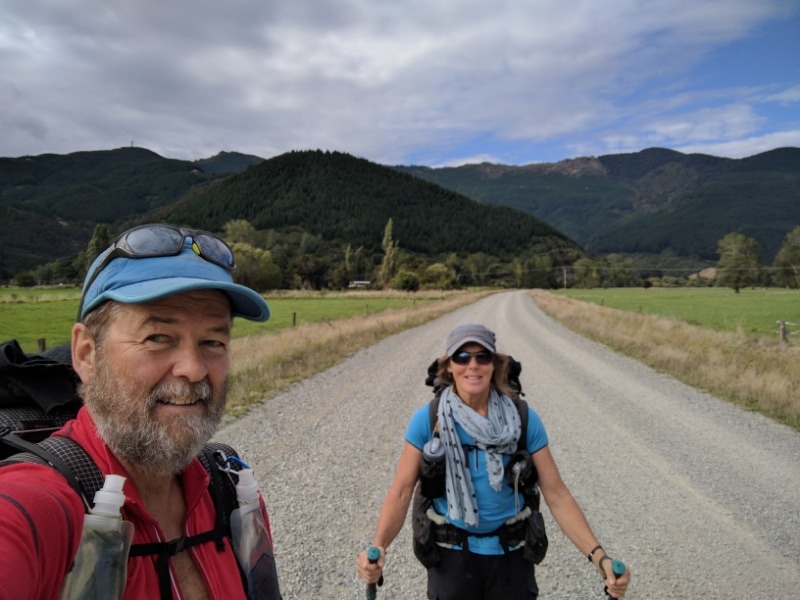
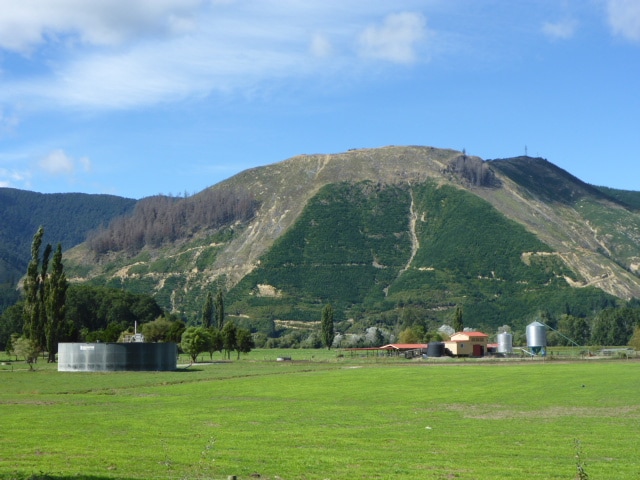
We were in no real rush this morning as we only had 21 km or so to get to Pelorus Bridge Campground so we finally got underway at 0930 after stocking up on a couple of things at the pharmacy and the supermarket. Ended up getting there at 1530 with a couple of breaks for smoko and lunch along the way. GPS for the day is here. The first 3km was on the side of the highway before we ducked off onto a gravel road that took us across two bridges over the Pelorus River and onto Kaiuma Bay Rd - another gravel road that took us through farmland for 9.5km to Dalton's Bridge. As we crossed the second bridge we saw the TA sign pointing to the right when it should be to the left! I took a photo and sent it to Rob Wakelin at TA who replied and said it looked like the whole signpost had been rotated 180 degrees! Anyway, he was going to get one of his local contacts to have a look and sort it out to reduce any confusion!
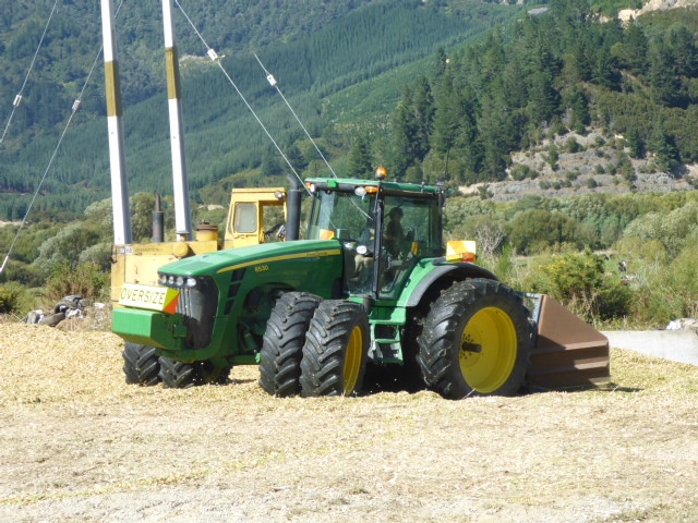
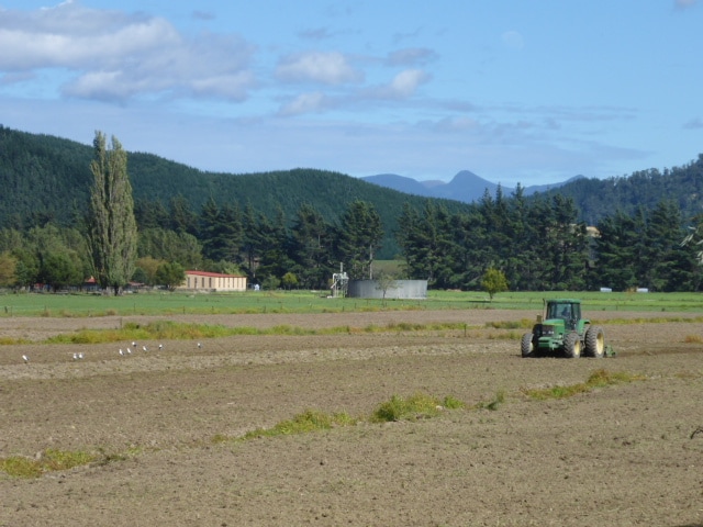
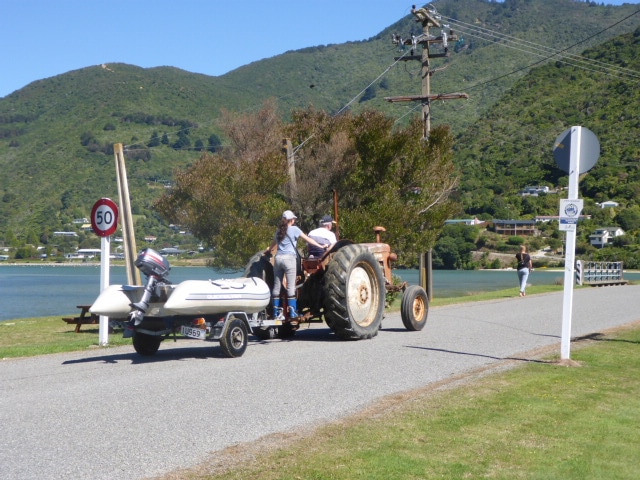
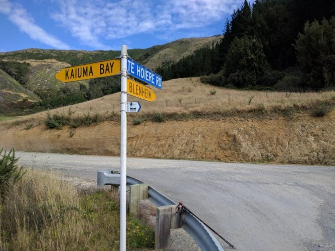 As noted above, some joker had turned the whole road sign 180 degrees - we go left! The trip down the road was punctuated by large truck and trailer units going past with something like grain in them. About half way along the mystery was solved - it was chopped maize going into a silage pit, being compacted by a very large John Deere (I love big tractors, especially green and yellow ones) :-) 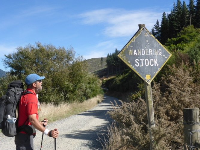 A very old AA sign!
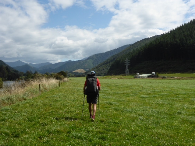
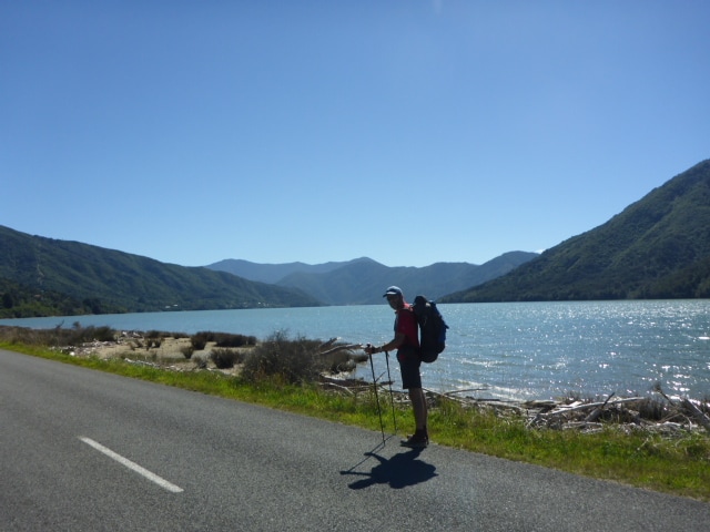
 This was one of the units that was passing us as we walked - stopped for a chat near Daltons Bridge. At Dalton's Bridge the track leaves the road and heads onto farmland - we stopped here in the sun for a half hour lunch before venturing off across the farmland. Basically we walked across pasture, and electric fences, for the next 6km alongside the Pelorus River. 1km from the campsite we entered a lovely bit of bush onto a loop walk that is well used by people stopping at Pelorus Bridge. Then it was across the road bridge to the DoC camp and cafe. It's a great site with excellent facilities, including hot showers! The managers are great and pointed us to a good spot to set up our tent. We then headed back to the café for food and drinks and to pick up the food parcel we had sent here. Spent half an hour repacking all that for our trek to St Arnaud and marveled at how bloody heavy our packs were going to be tomorrow!! All this done by 1730! Met a couple of young Americans, Jack and Alisa, who were heading sobo after completing the North Island.
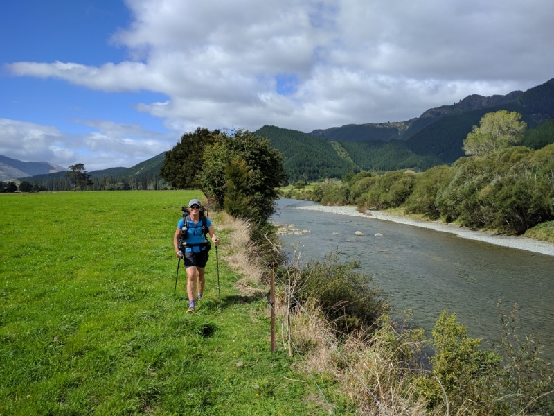 Most of this section from Daltons to Pelorus was on farmland like this, with an occasional small diversion through scrubby dips alongside the river.
 More farmland walking, getting closer to Pelorus Bridge.
 Good facilities in these well used walkways - luxury!
 Self explanatory really!
We luxuriated in a hot shower and had some more food about 1930 before bedding down - hoping that the revellers next door wouldn't keep us up too late! Turns out they were cognisant of the 2130 quiet time!
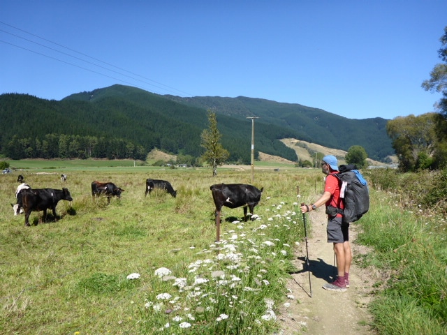
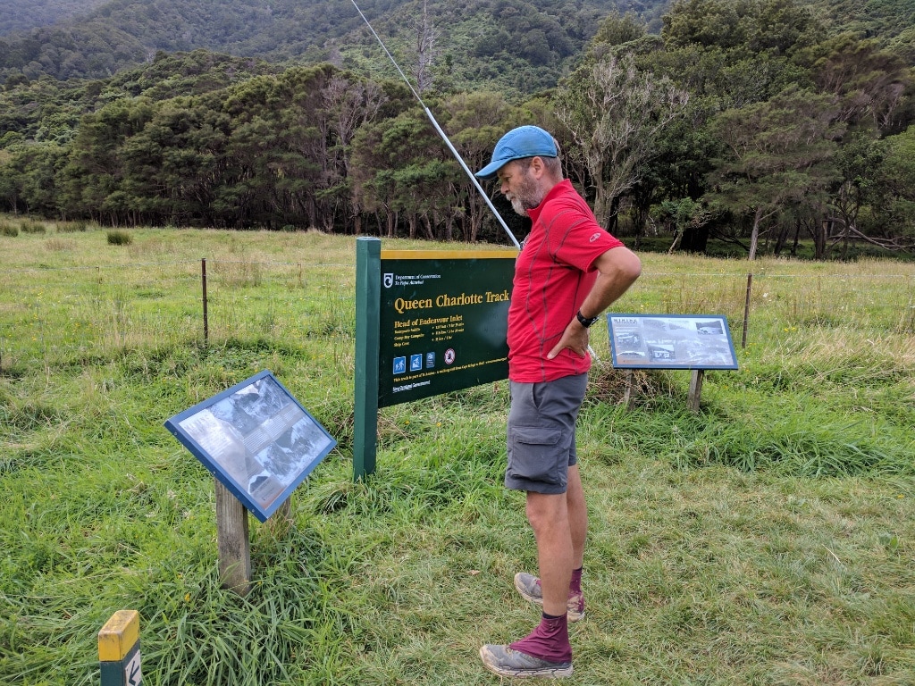
We stirred at 0615 and by the time we got away it was 0810. Arrived at Havelock motel at 1745 after finally covering about 34km. This was somewhat longer than we had planned for, so another physical day, although with not much up and down fortunately! The GPS for the day is here. We had a short 1km climb from the camp back onto the trail followed by another 12km or so to Anakiwa and the official end of the Queen Charlotte Track. The track climbed up through more regenerating bush but later went down through some more mature beech stands. It is beautiful walking through these beech stands as the light is beautifully filtered and beech leaf on the ground makes for pleasant underfoot conditions! It helps that beech trees are B's favourite :-). Anakiwa itself seems a lovely little spot, with Outward Bound and the QC Track making it reasonably busy.
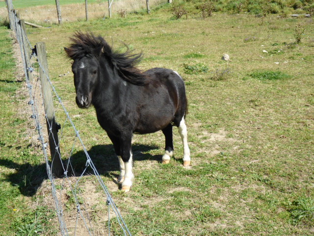
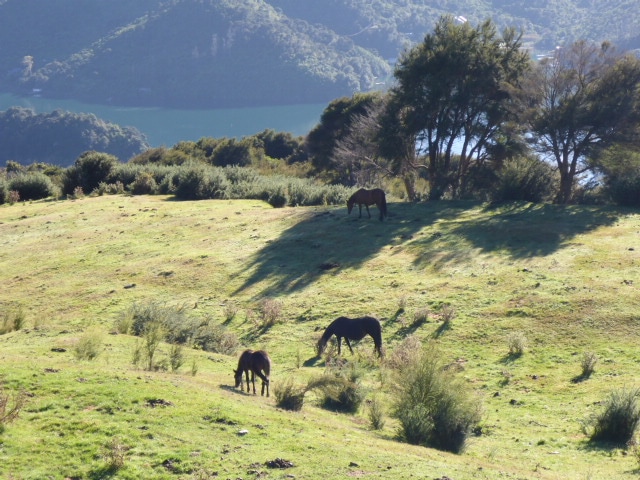 At this stage we were walking alongside a farm fence and B found some more horses to photograph.
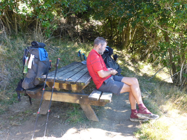 More convenient tables for rest stops :-) 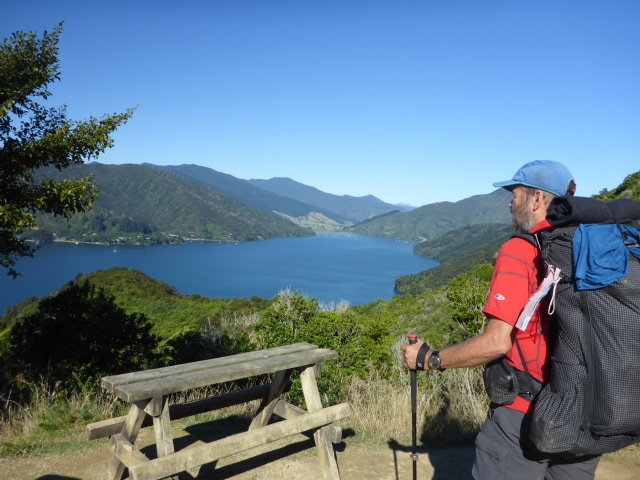 Couldn't stop at all of them - other than to briefly admire the view!
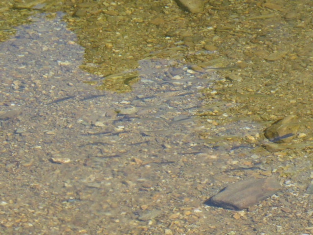 B found some fishies!
 B enjoying the view as we approach Anakiwa.
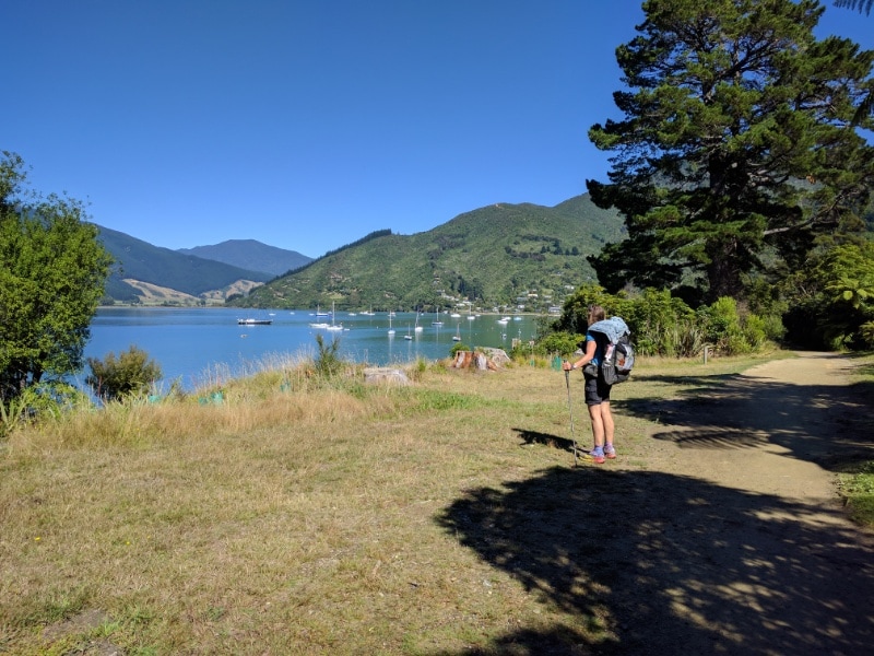
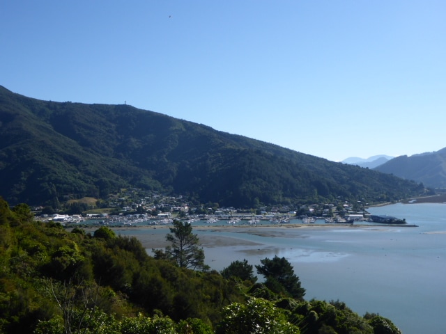
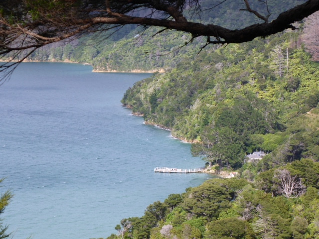
 Heading out of Anakiwa. 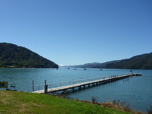 And looking back at the jetty. From there it was out onto Queen Charlotte Drive - partly on the road and partly on the Link Pathway, which is ultimately intended to connect Picton with Havelock. Currently, a fair bit of this stretch of QC Drive is still on the road, although they have just completed another section closer to Havelock. This means the last 5 km or so to the bridge just before Havelock is all off road through bush and scrub on a nice, compacted gravel track suitable for bikes as well. So it is gentle slopes and maxes out at only 150m ASL. Very pleasant walking for the end of a long day!
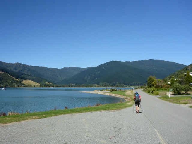
 Approaching Havelock.
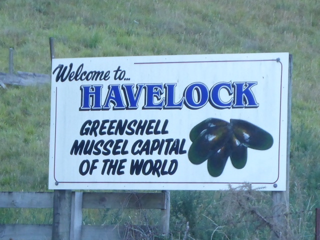
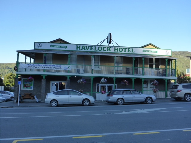
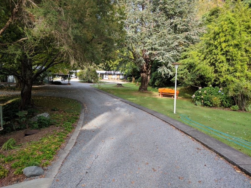
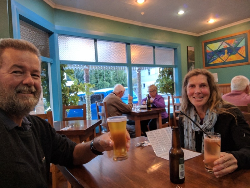
 Looking back up the well formed track as we descended towards the road bridge into Havelock. Across the bridge and up the hill saw us into Havelock's main drag - we had about another km to go to our motel. The Havelock Garden Motel was a lovely spot - we had chosen it mainly because accommodation seemed hard to come by when we booked only a few days ago. We found out this morning that the Havelock mussel festival was on tomorrow, and the nice lady at the motel said the room had only come free just before we booked it, because of a cancellation! Good timing. Anyway, a lovely spot to stay for us - and right next door to the entrance was the Mussel Pot restaurant, so B and I had a good nosh-up for dinner and I got a belated couple of birthday beers!
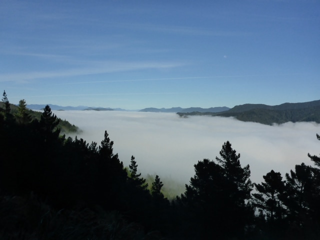
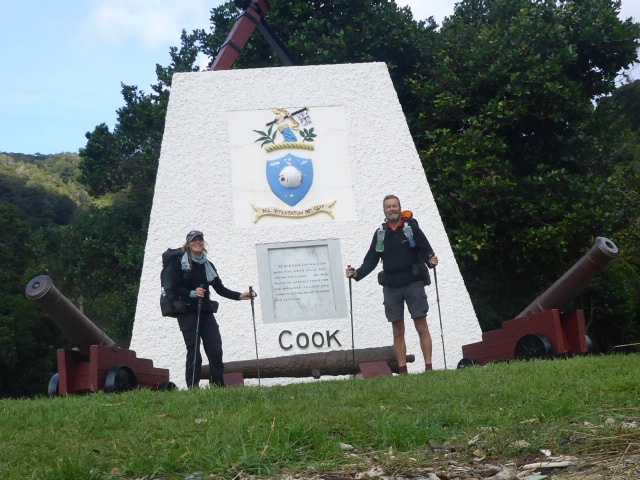
Left Camp Bay about 0730 and arrived at Mistletoe Bay around 1830. Covered 32km today including a couple of kms off trail getting to and from campsites at either end - we also did 1360m vertical up and 1340 down, so a very big day for us! GPS track for the day is here. So, it was my 60th birthday today and we had to celebrate it with a very long, hard day - especially as it was only our second day back on the trail after a couple of month break! The day started with a climb out of Camp Bay, eventually getting up onto the tops that we essentially followed for much of the day. As you can see from the GPS track there was a lot of up and down involved.
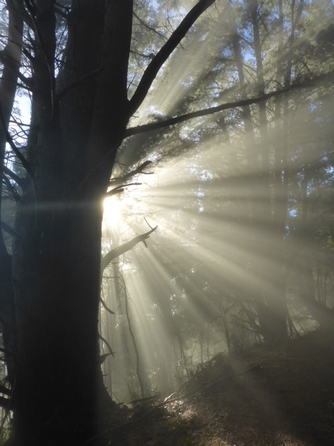
 Track is still easy walking. You can see a hint of the mist around this morning.
 Gives some idea of the mist.
 Pretty wide track in places and good underfoot.
 They really were lovely walking conditions mostly. B in dappled light! We came across quite a few walkers during the day, most of whom were going from lodge to lodge with their gear carted by water taxi - predominantly Australians as it happens. Belinda discovered that one of the tungsten tips had gone from a walking pole which meant it was slipping often. We had an unscheduled 45 minutes stop when we had reception so i could organise with Bivouac in Wellington to send some to our motel in Havelock. We got there in the end!
 And just around the corner was a steep dropoff - no problem for walkers but remember the track is used by cyclists as well!
 Still a bit of farmed land in evidence amongst the bush areas.
 Still standing at 60!!
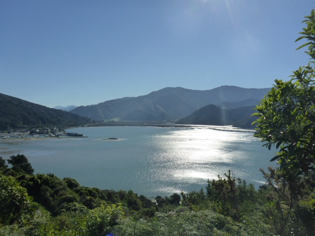
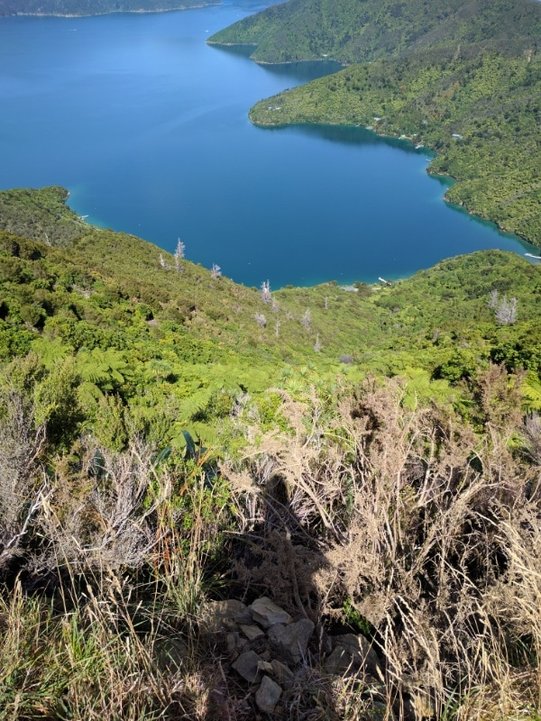
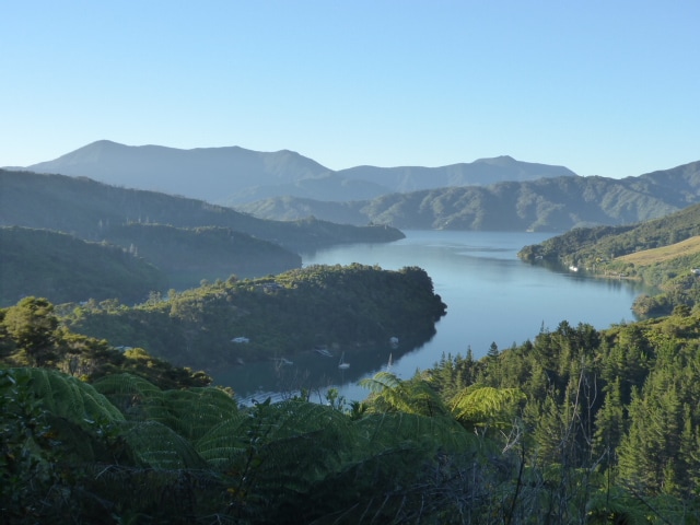
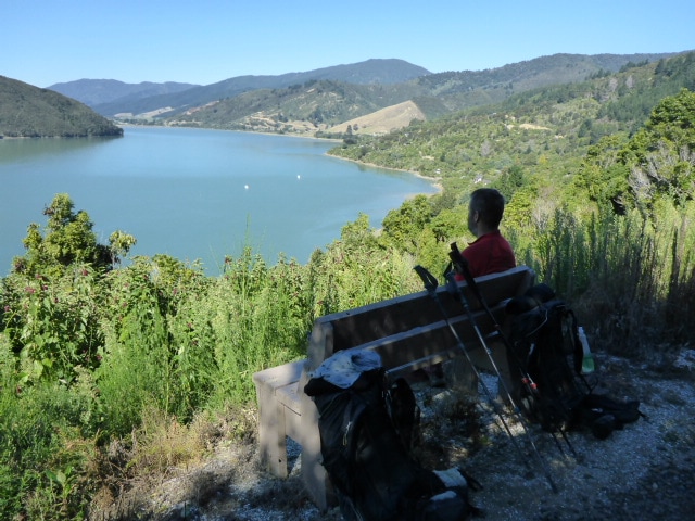
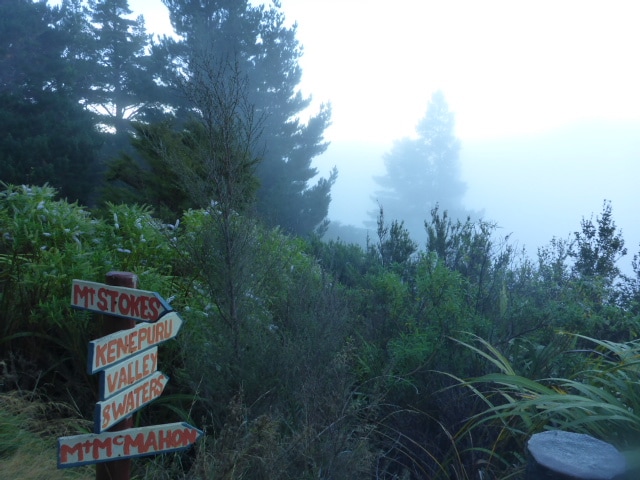
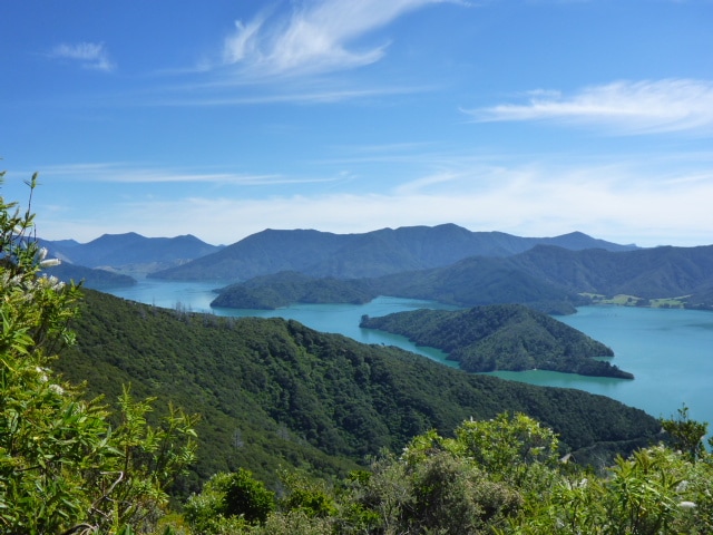
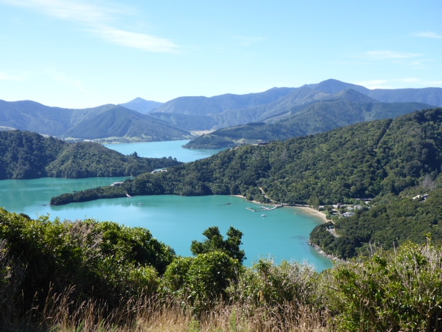
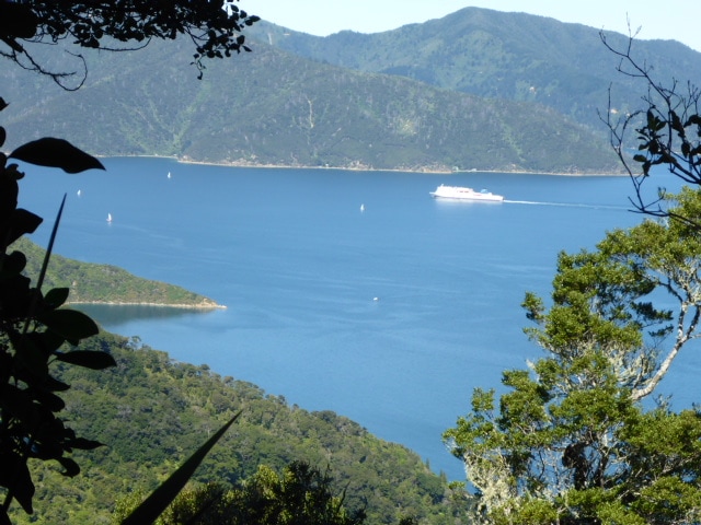 Looking back over to QC Sound (the ferry is a useful hint as to which bit of water it is!). Had some great views of both Queen Charlotte and Kenepuru Sounds as we headed west. The track is generally pretty good as it is well used and mostly goes through relatively young regenerating bush. We stopped for lunch at Black Rock shelter and carried on down to Torea Saddle, where most of the hikers were dropping down into the Portage on the road. We, however, had to carry on across the road and carry on for about another 8.5km to get to Mistletoe Bay - including one km off trail to the campsite itself.
 At least they provided some seats along the way for weary travelers! There were about 100 school kids at the camp but we were pointed towards a quiet area that worked out fine. I shouted myself a Powerade for my birthday drink - no beer on site :-( Yummy dehydrated dinner before bed :-).
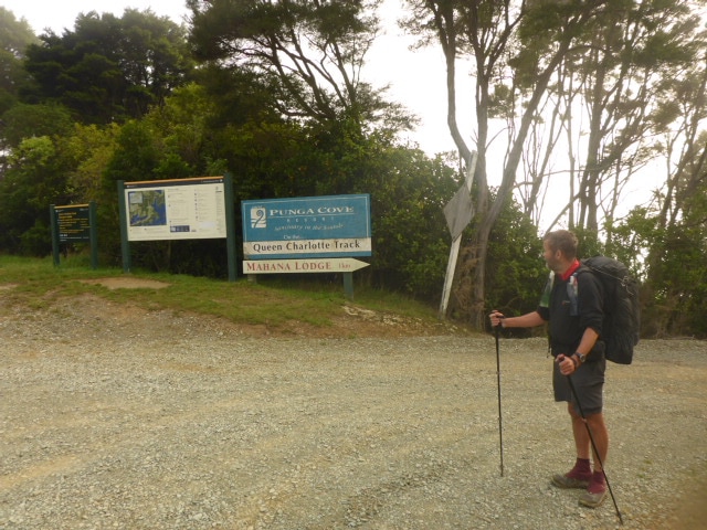
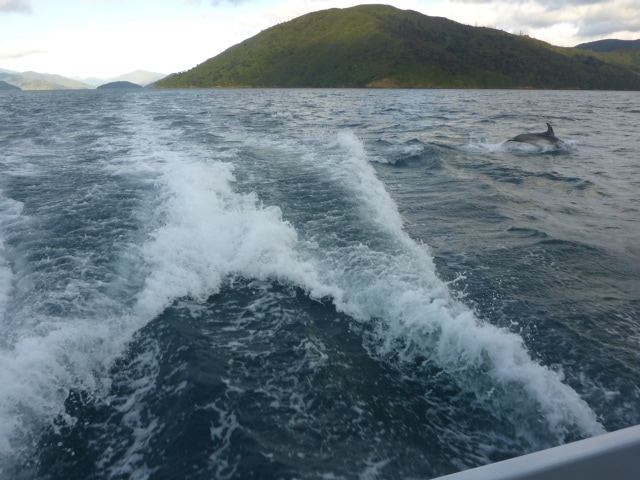
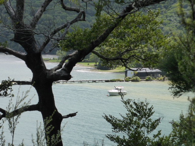
 Kitchen block to left, toilet blocks behind kids tents. We were up the hill in the background a bit - away from most of the noise of 100 kids!! Today's walk was from Ships Cove, at the start of the Queen Charlotte Track, to the DoC campsite at Camp Bay. DoC says it is 27km, the Suunto says we did 26! It took us about 7.5hrs in total - about 6hr45 walking, so not bad for a first day! The GPS track for the day is here. We had caught the ferry across yesterday and stayed at the Atlantis backpackers. We were up at 0630 for breakfast so we could be at Beachcomber Cruises at 0730 to get our tickets for the transfer to Ships Cove. Had time to duck off and get a hot drink, including a coffee for our skipper, Phil :-). Had a great trip out with informative commentary on the area - had a great interaction with a school of bottlenose dolphins at one stage! Phil dropped us off just before 0930 and we were underway soon after. As we were waiting to start we chatted with an Israeli couple doing the QCT. Turns out they had forgotten to pack a lighter for their gas cooker - so our first good deed of this section was to donate them a spare pack of waterproof matches!
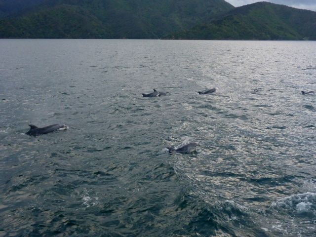 Part of a pod of dolphins cruising with the boat.
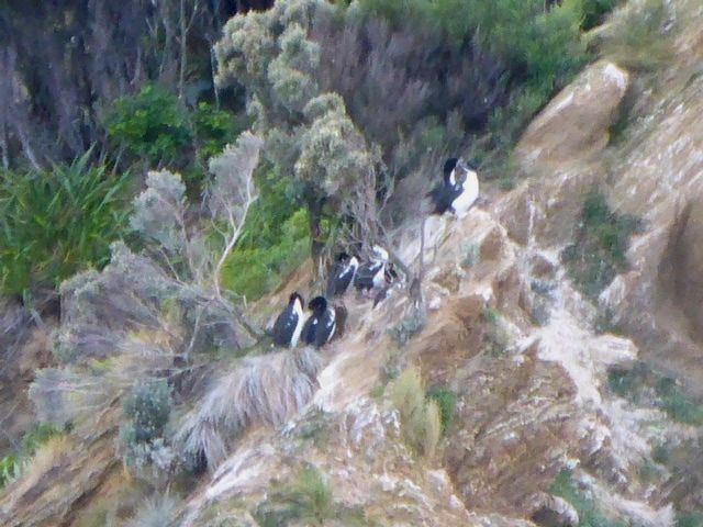 Nosed into the rocks to view some of the local shaggy wildlife!
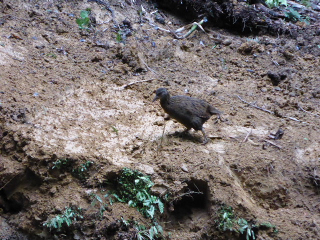
The track launches straight into a steady climb up to about 220m, which is pretty much the high point for the day. Much of the day is through regenerating scrub and older bush on a pretty well formed path. We were up and down a bit for the first half of the day, but from the head of Endeavour Inlet it was pretty gentle all the way to Camp Bay. At times we got some good views of this part of the Sounds and the birdlife was reasonable - quite a few bellbirds especially; even seeing 3 in one little tree right above us at one stage. We also saw a few weka, including hanging around our tent at the campsite, so we're wary of leaving anything out that they could take off with!
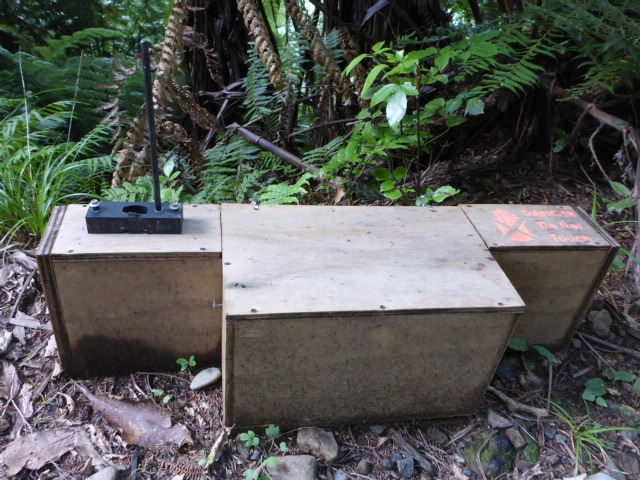
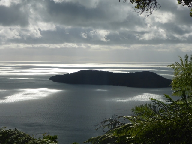 Looking back to Motuara Island. We stopped here on the way out for some people to walk around it.  Use of a trap "fence" for predators. Traps every few metres to create a virtual fence.
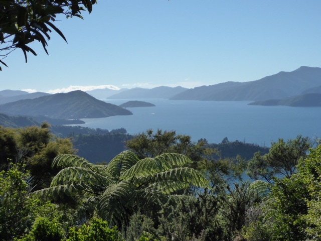
We stopped for a brief look at Furneaux Lodge before continuing on, resting for a lunch break near the head of Endeavour Inlet before carrying on round to Camp Bay's DoC campsite. The track was reasonably busy with mainly day walkers but we did run into a couple of nobo TAers, one kiwi guy finishing today and an Austrian guy at the camp who will be finished tomorrow. Also walked for a while with a lovely Romanian lass, Andrea, who had taken a year off work and was spending some of that time seeing NZ, including a number of bush walks. 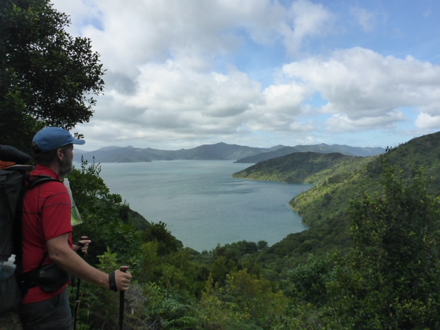 More views - hard to remember which way you are looking, but it is still generally east out to QC Sound!
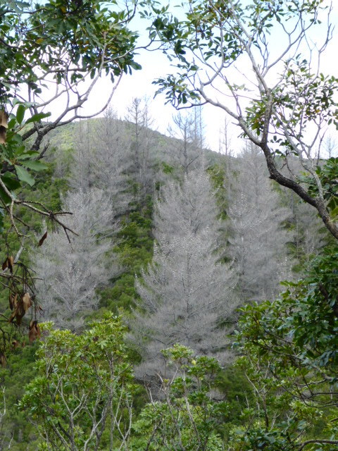 Good to see wilding pine control being undertaken.
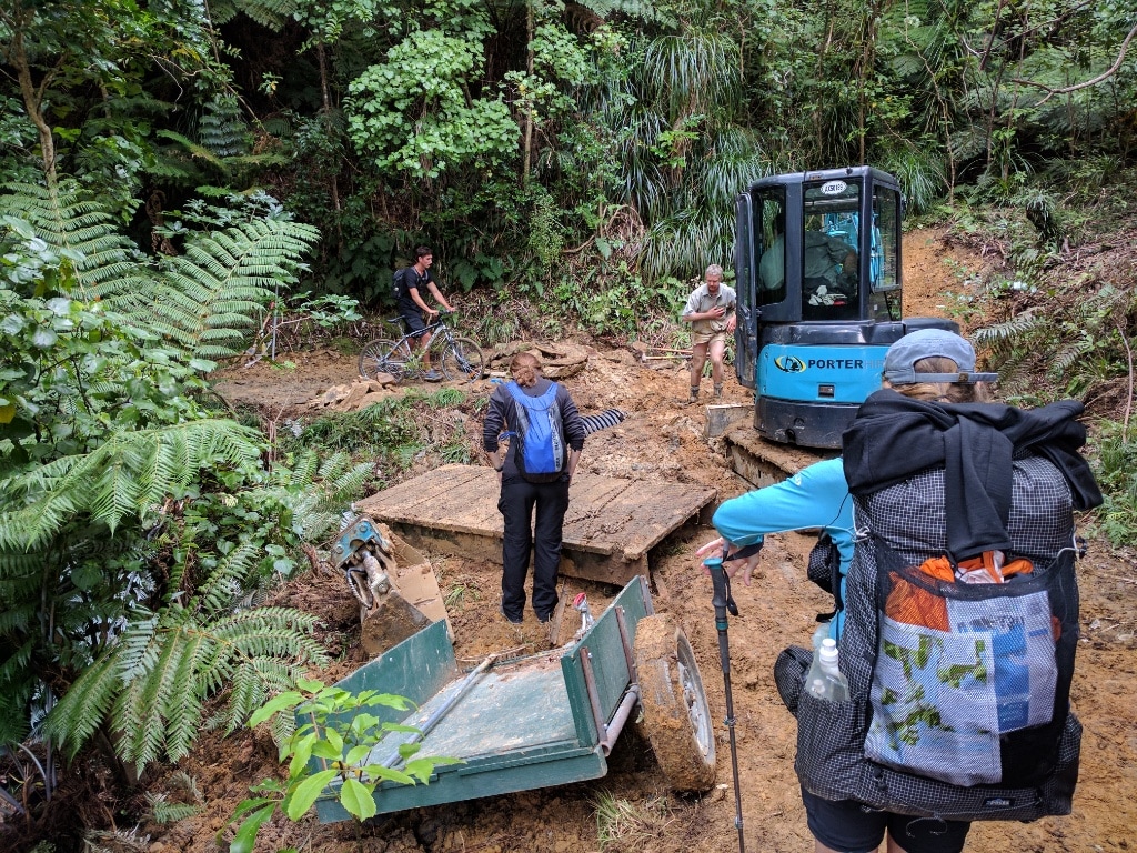 DoC replacing old bridges with large new culverts. Andrea from Romania with blue pack.  The track conditions are really great underfoot most of the time - we are not used to it! We were reasonably pleased with day one - the aches and pains seemingly not too bad. However, B pointed out that we have a very long day tomorrow of over 30km of up and down. Maybe not the most sensible, but it is a bit of a challenge to manage the stops on this walk with the distances between camp spots. We will just have to see how we go! We set up tent and went for a short walk down to the bay itself and also a little way towards nearby Punga Cove before dining and heading to bed.
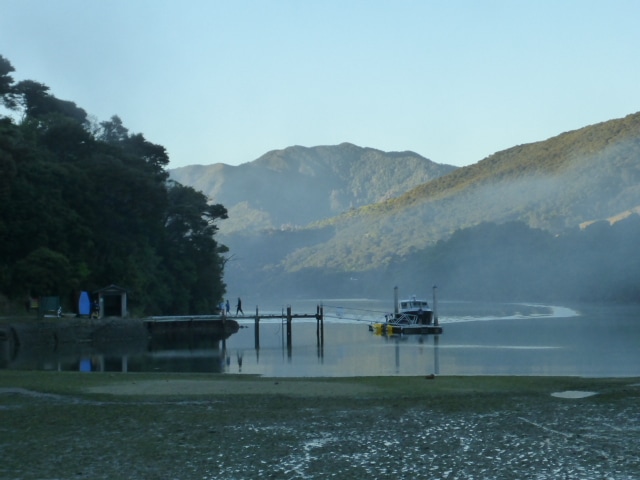
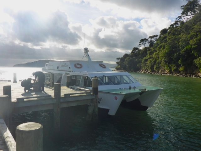
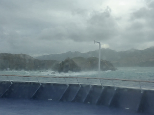
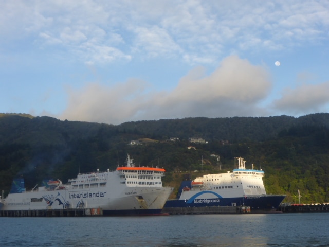
 Camp Bay with the tide out a bit! 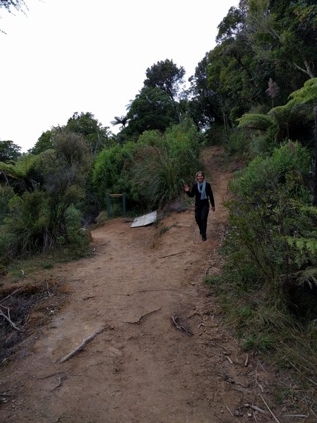 The track to Punga Cove. 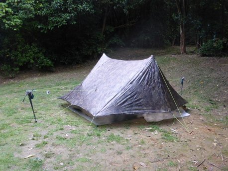 Lovely tent setup on flat ground :-) Julia, Belinda's sister, kindly offered to drive us in to catch our 2p.m. Interislander ferry sailing to Picton. The weather in the Cook Strait was fairly lumpy and it wasn't long before I was feeling a bit queasy! Belinda has a sea(wo)man's stomach and was happy up front for the trip! For me, first it was down to the back of the ship, then sucking on ice and, finally, resorting to the tried and true tactic of going outside into the fresh air! Always works! Arrived in Picton at about 1730 and proceeded to the hostel - after taking some time to remember which one we had booked!! The water taxi people for tomorrow had said just turn up so no need to sort that. A quick wander around Picton and then a night's rest before the restart tomorrow.
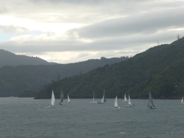
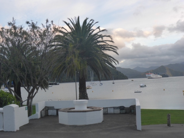 Picton waterfront in the evening. |

AuthorBelinda and Anthony (aka Tony) Hadfield made a decision, in their late 50's, to do something a "bit different" and walk New Zealand's 3000km Te Araroa Trail over summer 2015/16 - although updates will now tell you that this plan will take longer now!!. As the old saying goes - "don't leave home 'til you've seen the country"!! Archives
January 2018
Categories |

 RSS Feed