|
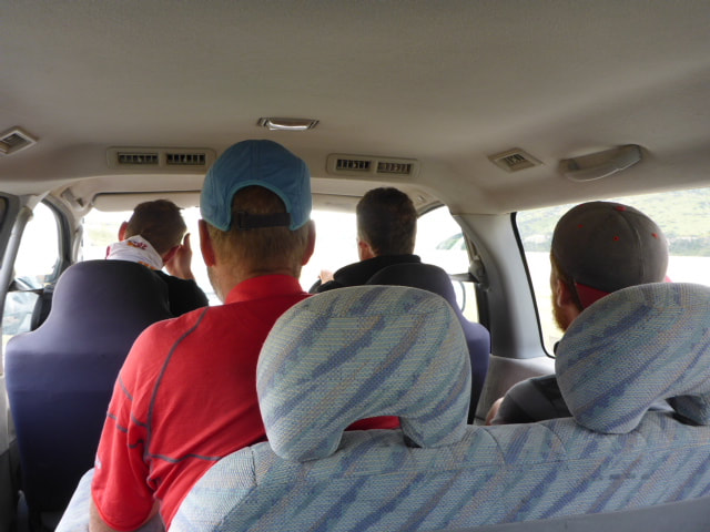
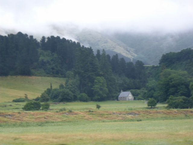
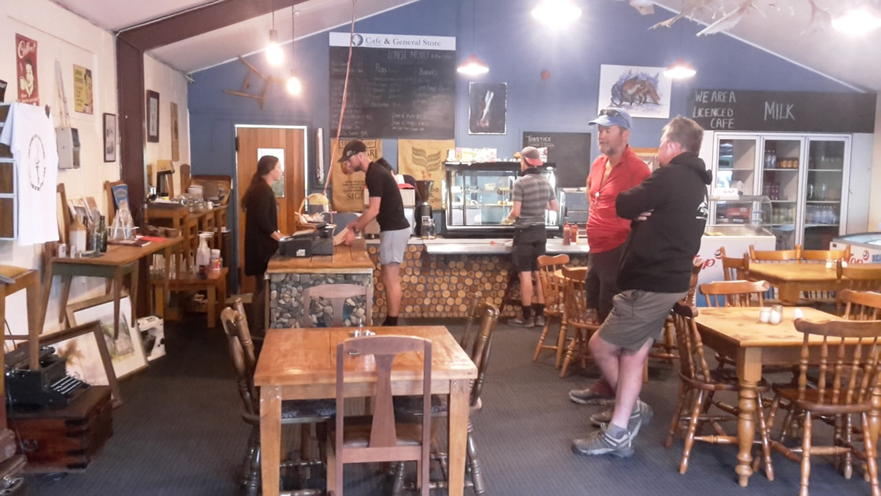
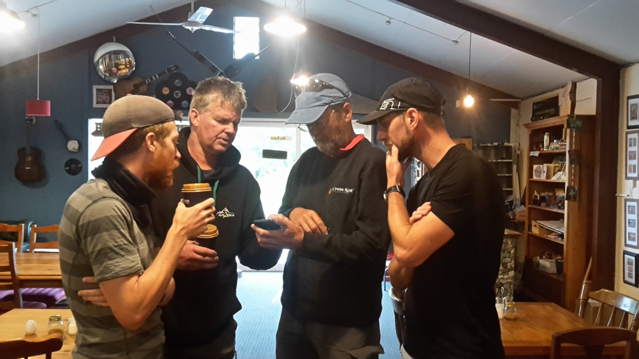
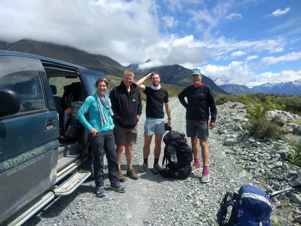
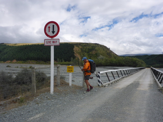
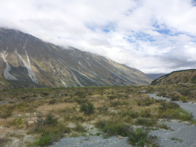
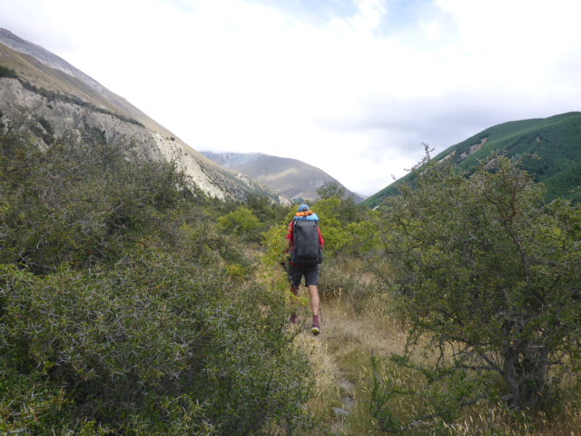
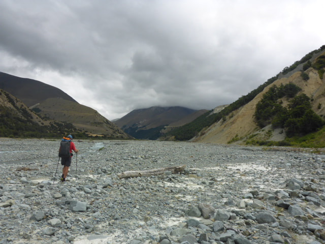
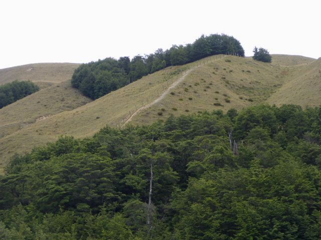
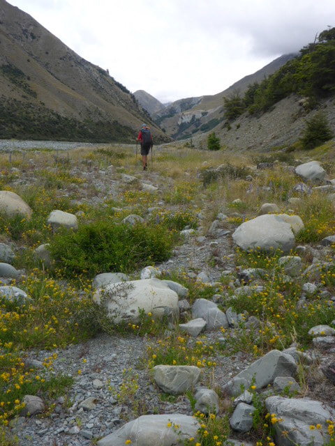
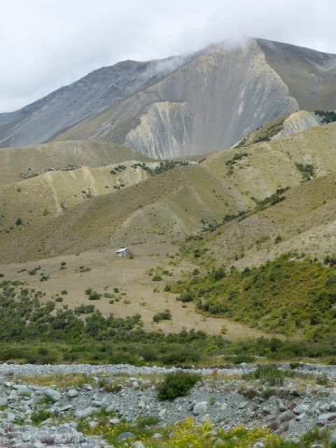
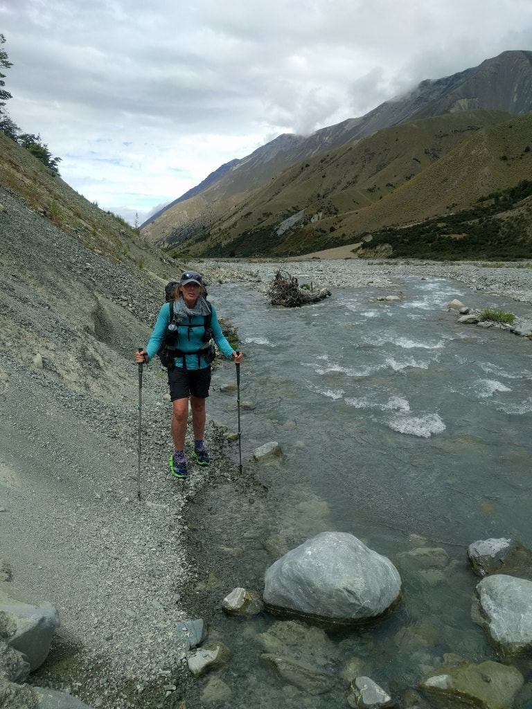
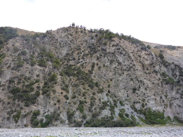
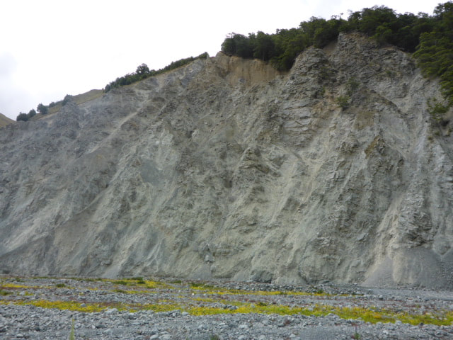
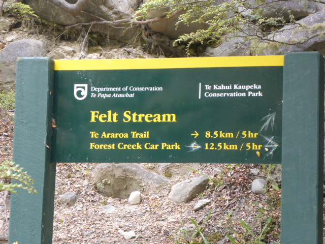
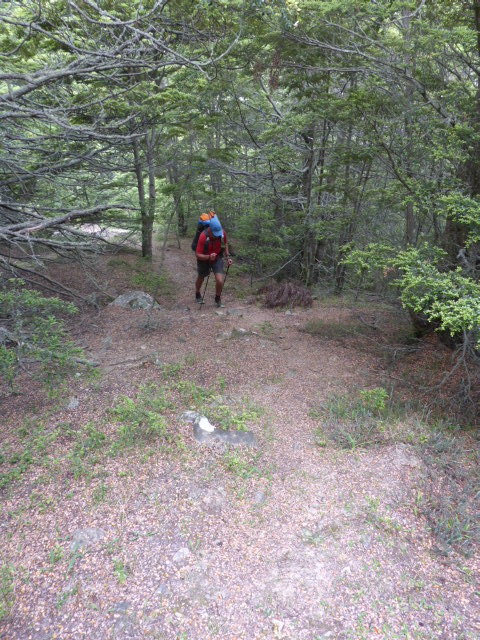
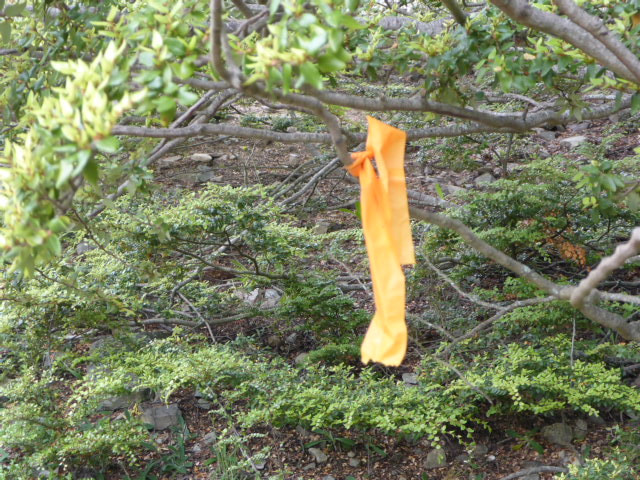
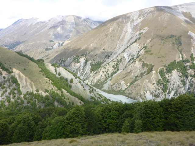
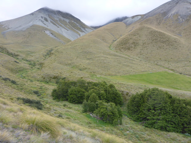
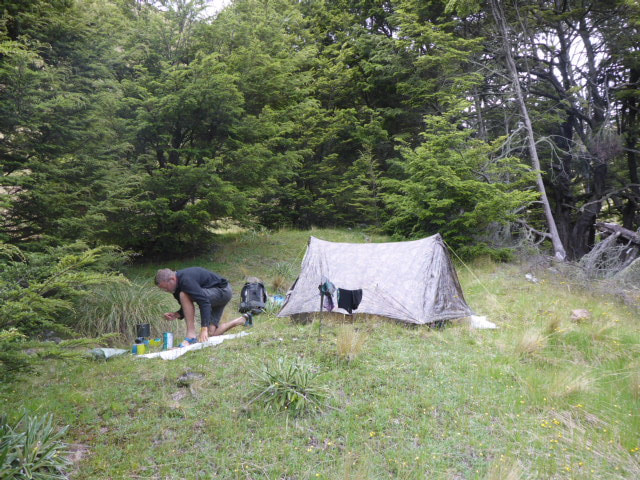
Wayne from Alps 2 Ocean picked us up just before 0900 for the trip around the river. We stopped in Mayfield for a pie (in my case) and other goodies for the others. Stopped again at Peel Forest Store as Wayne said they had the best coffee!! On the way up the South side of the river he mentioned the alternative route using Forest Creek (not Bush Stream) that used to be mentioned in the TA notes as an alternative when Bush Stream was challenging. He said quite a few people had to use it last year when Bush Stream was too high for some time. B and I looked at it as we passed and thought it might be a better bet for us. We all went up to look at Bush Stream and, while up a little, it didn't look too bad so Phil and Viggo decided to do Bush Stream and headed off. We had confirmed that we would try the Forest Creek route so Wayne dropped us a few kms further down the road and showed us how to get onto the track - we set off up Forest Creek at about 1215. It was a very informative trip and we would recommend Wayne to anyone needing some support in this area. We ended up doing over 15km today in over 4.5 hours of walking, climbing about 630m - about 300m of this was gradual up the riverbed followed by a steep 330m climb at the end of the day to our camp spot. The GPS track is here. About 13.5 km and 3.5 hours walking upstream we got to where the Forest Creek track headed off into the hills to eventually climb up to Bullock Bow Saddle (1692m). The walk up the wide Creek bed was OK, part of it following 4wd tracks through the shingle bed but other parts on river boulders and shingle. The 4wd track is not used much and is easy to lose in places, especially after all the heavy rain events over the last winter and spring. There are not many orange markers but they are not much use anyway as you know you are heading up the valley. There are a couple of marker poles and a DoC sign when you reach the track, so that was helpful as I wasn't sure whether it would be obvious or not. We had to cross the river a number of times as we got higher up the valley. When we got to the ”turn off” I was surprised to find we had walked up 300m in elevation during the trip up the river, so at about 780m asl already. We then started up a very steep climb - zig-zagging our way up a step face through some light beech forest. The first 700m of travel took us up about 250m in elevation which gives you some ideas of the steepness! It eased off a little but we still climbed up through open country to about 1100m as we sidle-climbed (new word!) around above the beech trees. Then it was a track (of sorts) through mainly tussock for about another 700m to where we had thought we might camp. This was near a private hut on what we presume is Mesopotamia Station land, so we were not going to try and use that without permission. We found a lovely sheltered spot in some beech, not far from a stream, with enough space for the tent - arrived here about 1740 and set up for the night. Feels like it might be a bit chillier tonight! This will leave us a vertical climb of about 600m to Bullock Bow Saddle tomorrow but we should rejoin the TA (Bush Stream track) in less than four hours, from where it is only a 2km walk to Royal Hut. We expect to meet up again with Phil and Viggo there tomorrow night to compare notes on our respective routes!
1 Comment
Pauline R McAlpine
1/1/2022 09:38:15
This is a very informative account of the trail I have seen. The photos are excellent and as I will be doing this section later this month I have decided to take Forest Creek Track which would be safer for me travelling on my own. Thank you for sharing yoyr travels,. Pauline
Reply
Leave a Reply. |
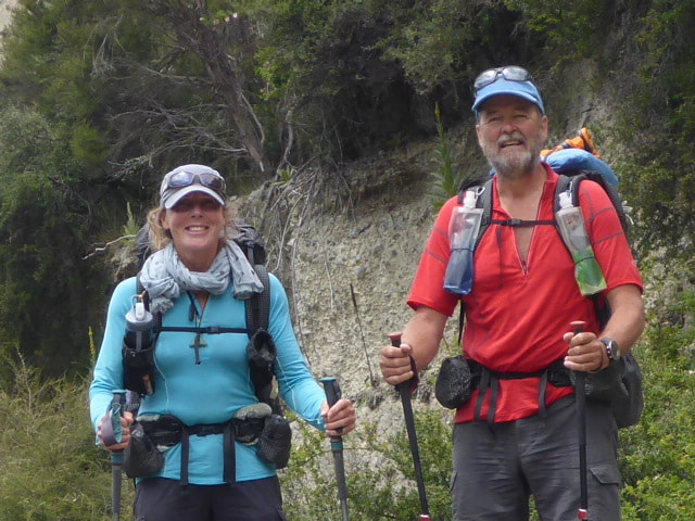
AuthorBelinda and Anthony (aka Tony) Hadfield made a decision, in their late 50's, to do something a "bit different" and walk New Zealand's 3000km Te Araroa Trail over summer 2015/16 - although updates will now tell you that this plan will take longer now!!. As the old saying goes - "don't leave home 'til you've seen the country"!! Archives
January 2018
Categories |
 RSS Feed