|
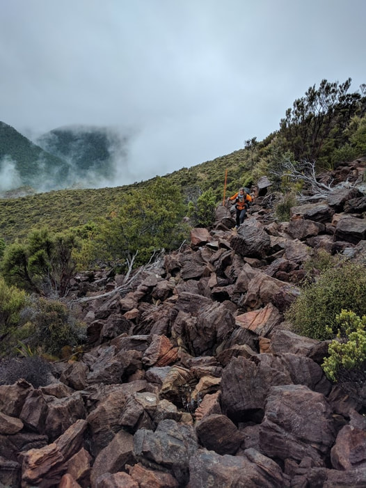
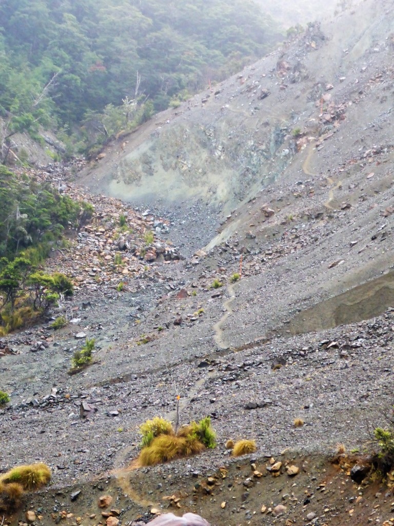
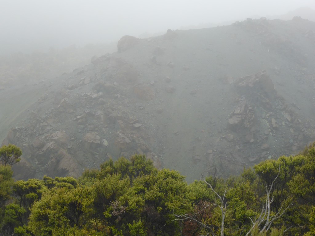
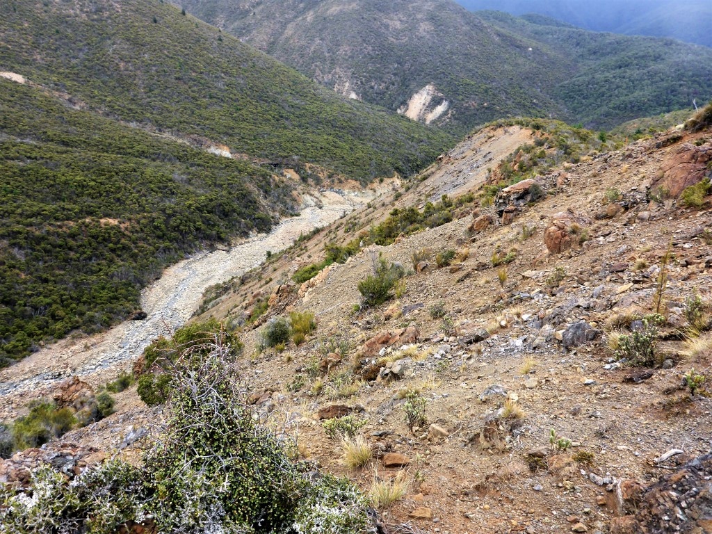
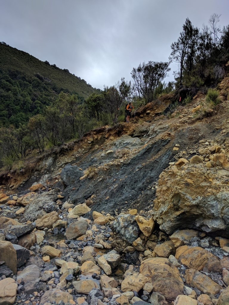
We got away at 0750 today and covered the 18.9km to Red Hills Hut in around 8h20 of walking plus stops, arriving before 1730. Today was more ups and downs - although we never got above 1070m or below about 600m we nevertheless ascended and descended approx 1200m vertical - all the little bits add up!! The day finished with about 4km of steady, sometimes steep, climbing - from the last Motueka River crossing at 600m to the hut at 900m asl. Easy to see from the GPS data here. We set off for Porters Hut initially. Despite the TA maps/notes saying it is about 9km, it turned out to be 7km and we made it in 3h15. The terrain is interesting and involved traversing a lots of rocky sections and boulder fields. It is apparently an odd mineral belt that stretches up toward D'Urville Island. There was an explanation on a poster in Porters Hut so I have included a photo of it below for those interested, rather than try and repeat it all here!! 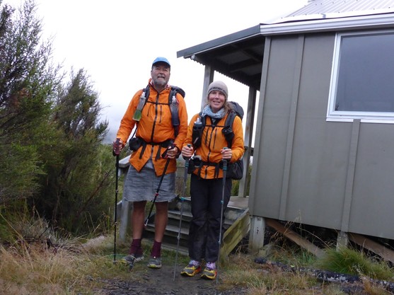 Ready and raring to go :-)
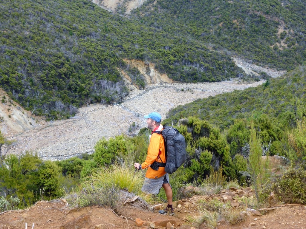
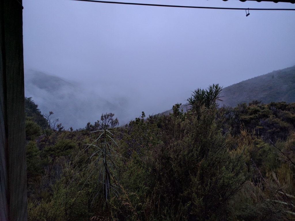
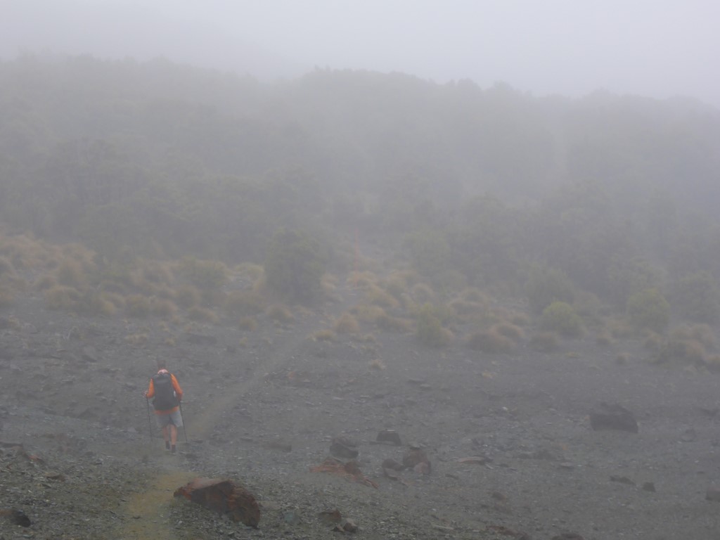
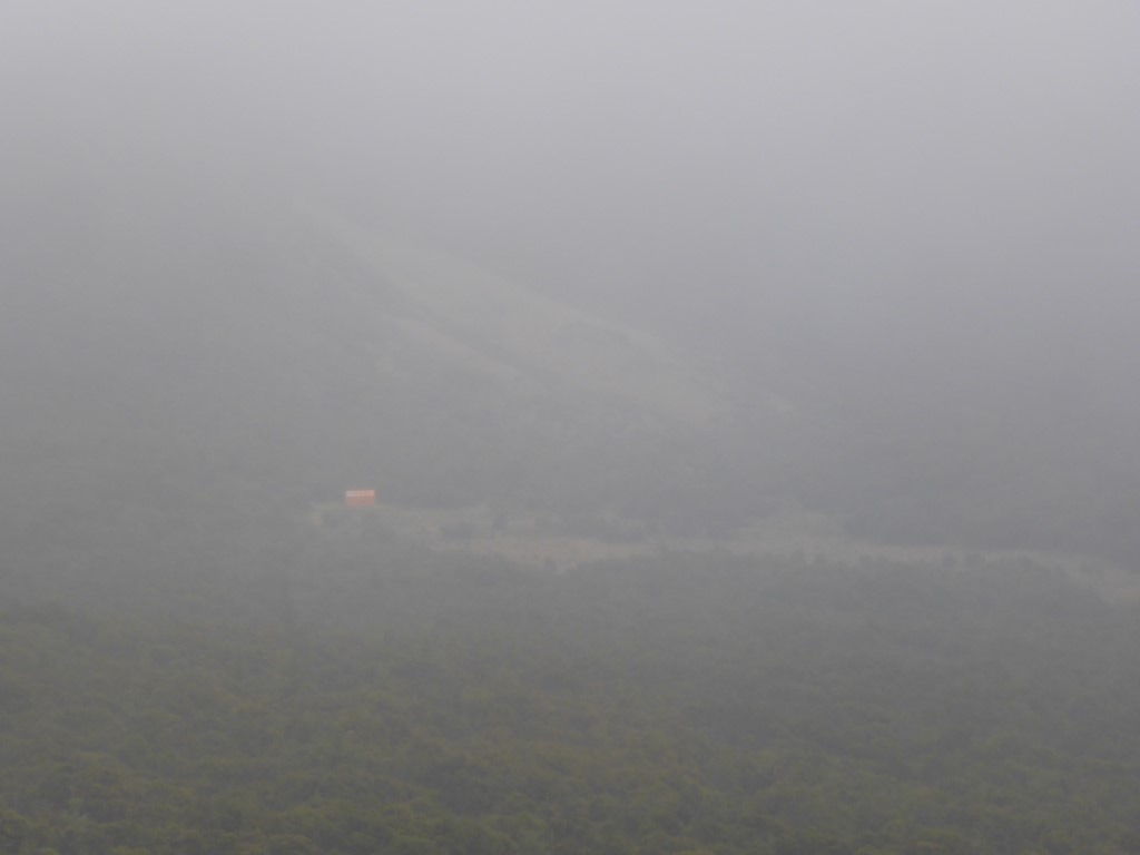
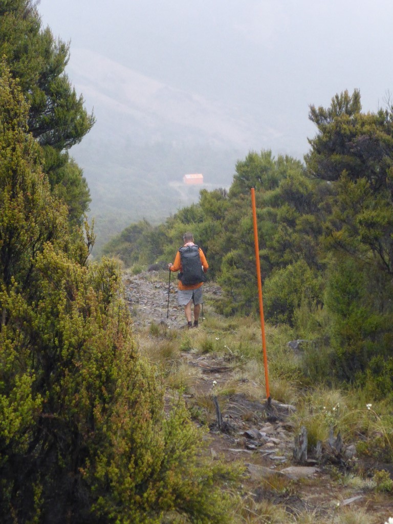
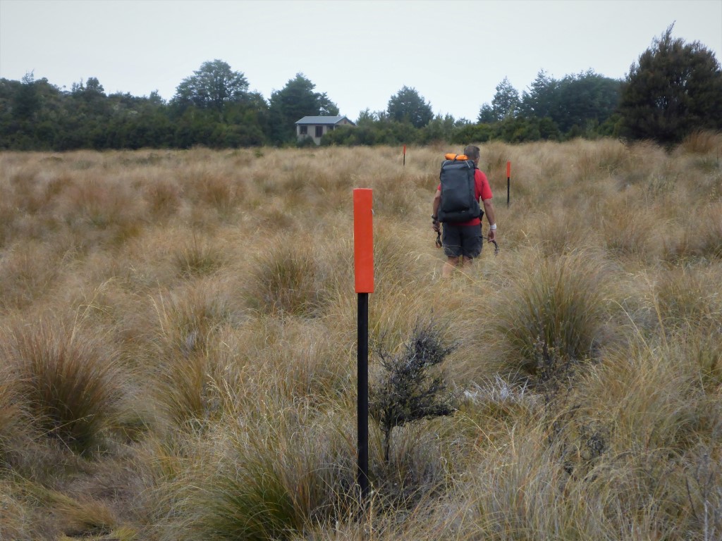
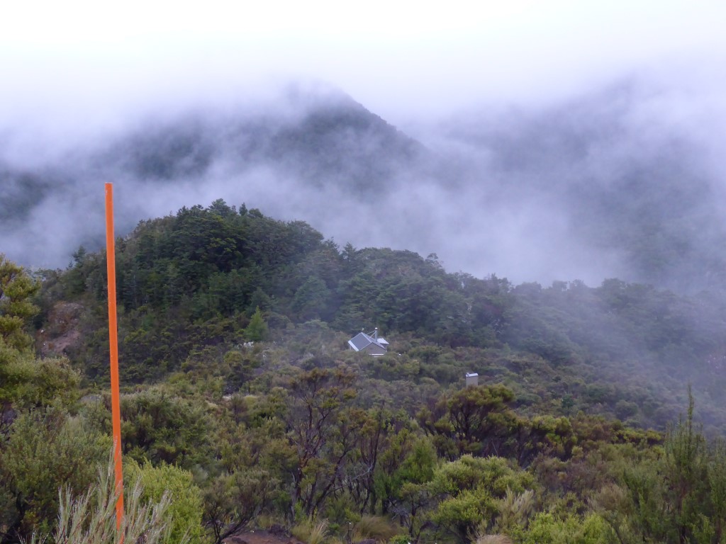 Looking back down on the hut as we head away into the mist. 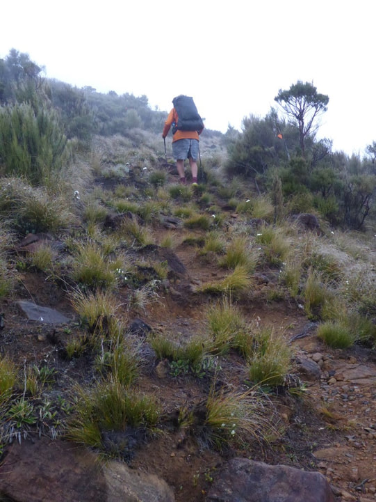 Wet weather gear in evidence.
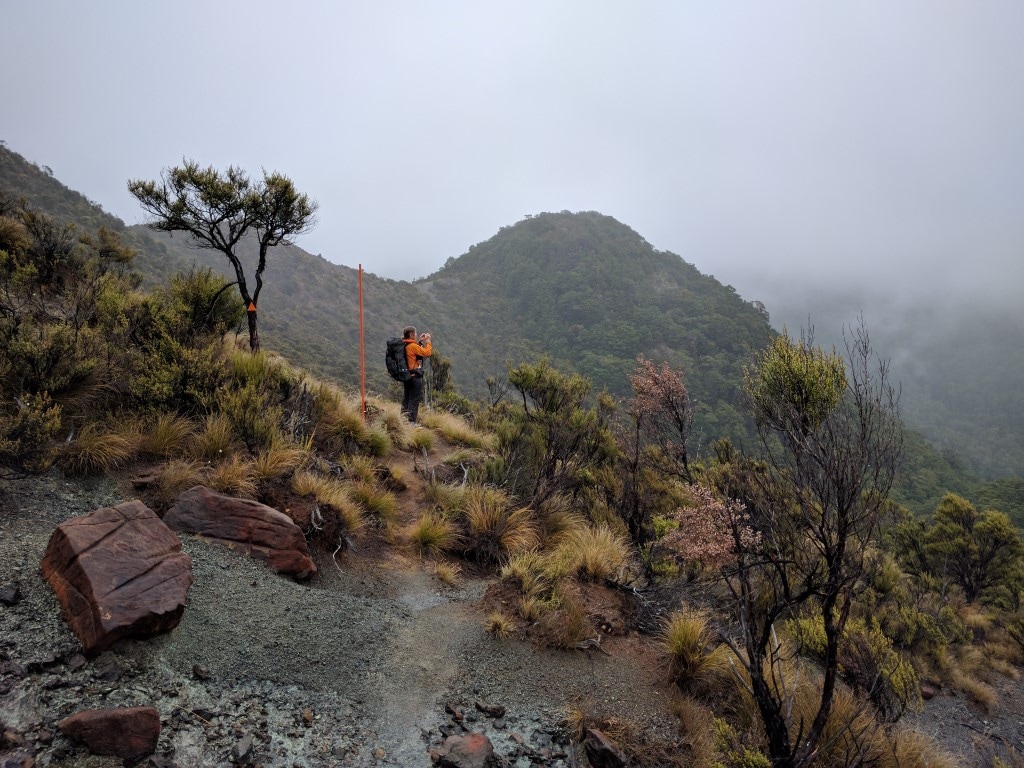 Photographing the photographer.
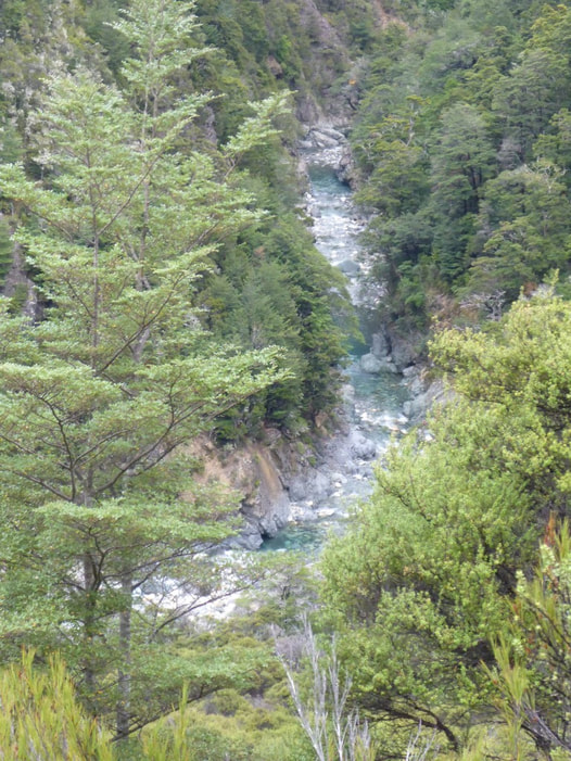
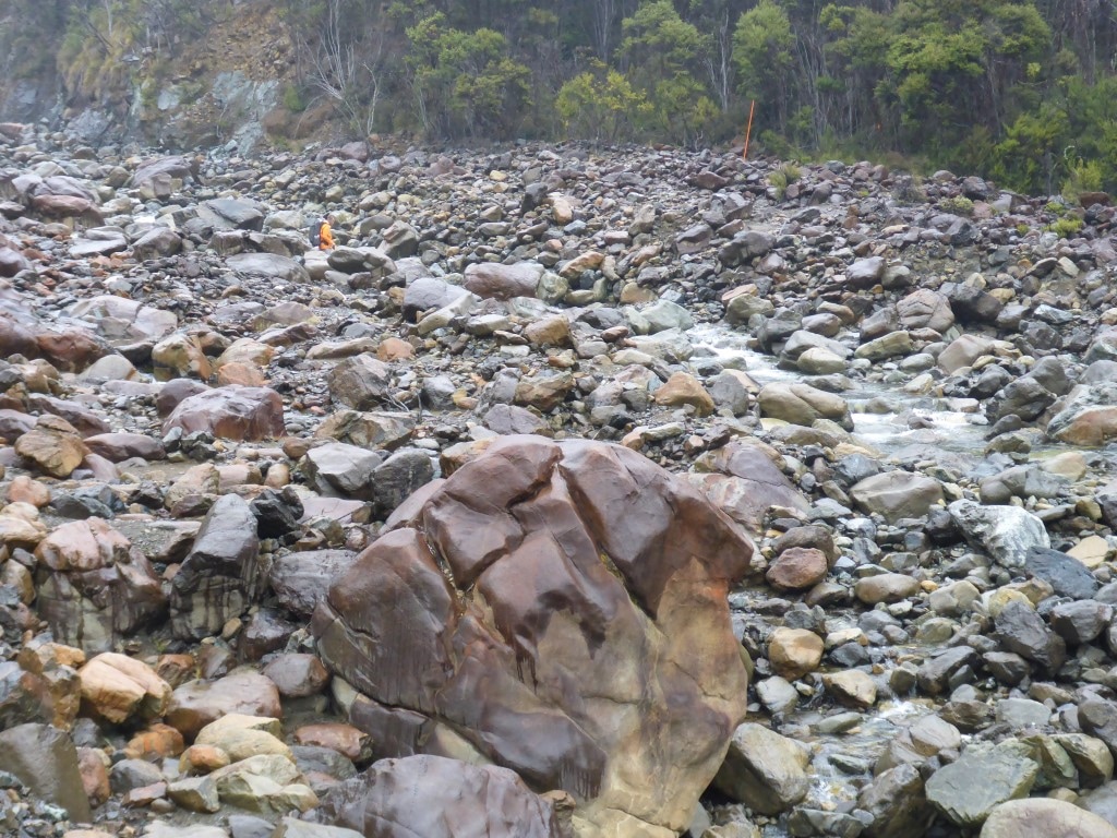 Me disappearing into a bit of a river boulder field.
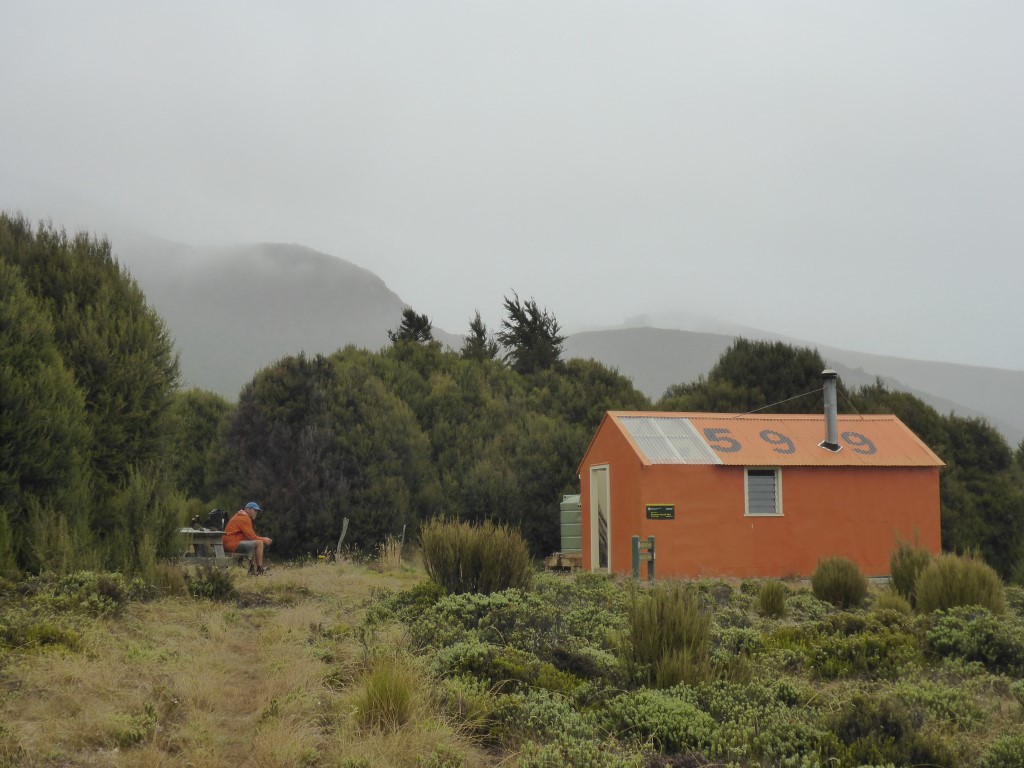
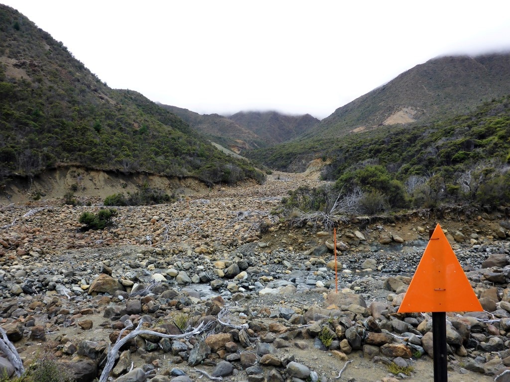
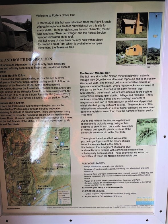 Here's the explanation of the geology of the area! The last km to Porters was pretty much a straight line through low scrub on an open path - very unusual for us! As part of DoCs upgrading of these facilities (partly because of TA numbers) there is now a water tank installed here, despite the notes saying otherwise. We stopped for a brief break as it was not yet lunch time for us. It had started off a bit misty and drizzly today so we had wet weather gear on - finally managing to get it off by about 1300 as the day cleared up a little. Carried on up and over to eventually curve down through more of the same rocky terrain, with numerous stream crossings and the odd bit of boulder hopping on larger river beds, to the Motueka River Right Branch. It is obvious that there are massive sudden water flows down some of these side streams in heavy rain - luckily not an issue for us. We headed along, mostly a little above, the Motueka River before crossing it a last time near the confluence with the Maitland Stream.
 As before - not sure which creek this is - there's soooo many!!!
 B enjoying not being on so many boulders.
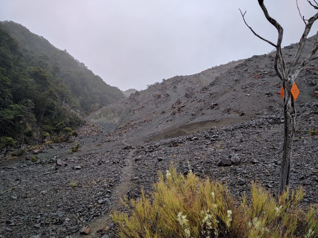
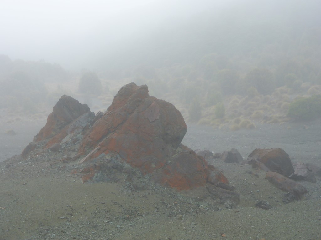
 Nearing the Motueka - an example of one of the many creeks flowing into the Motueka Right Branch from the Red Hills area above us.
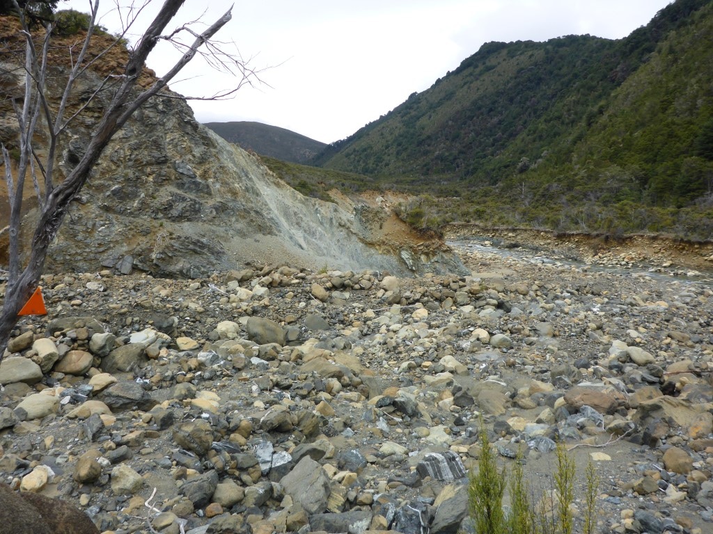 The odd stream bed to cross as we wandered alongside the Motueka.
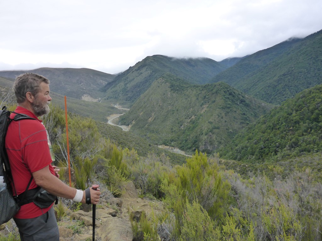
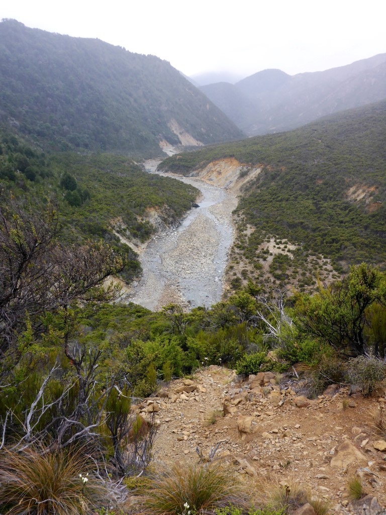
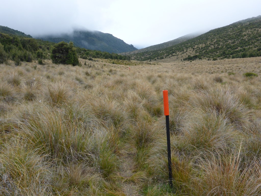
After that it was the final steady climb for 4km or so (although a very steep scramble to get out from the Motueka initially, after that final crossing!), sidling above Maitland Creek towards Red Hills Hut. We started to get into some more swampy/muddy areas here and the last km or less as you approached the hut was across a swampy tussock area. As noted, we arrived at the hut by about 1730. It is a nice new hut (2009) with double glazing but no fire. We found a couple of nobo walkers who had hitched out from St Arnaud - kiwi guy Frank with his Czech girlfriend Zusa. Had a good chat with these guys. The mist had settled in for the evening and the temp dropped somewhat so it was into the sleeping bags about 2030.
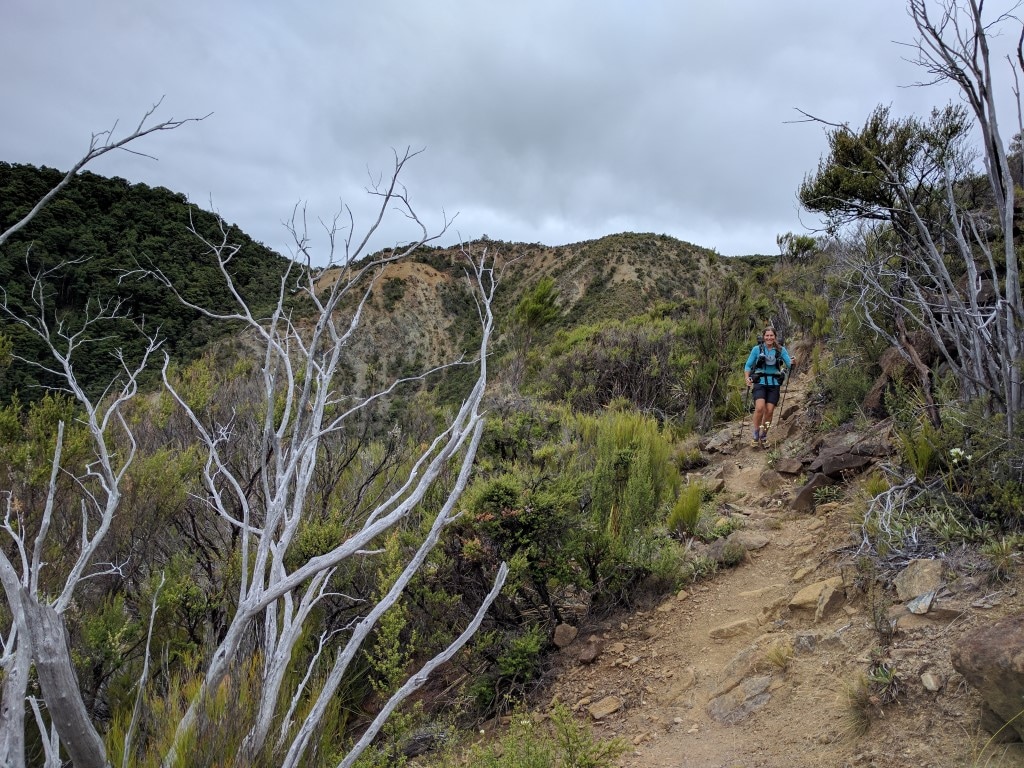
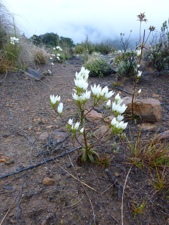
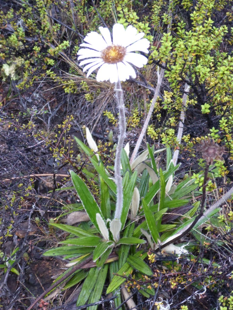
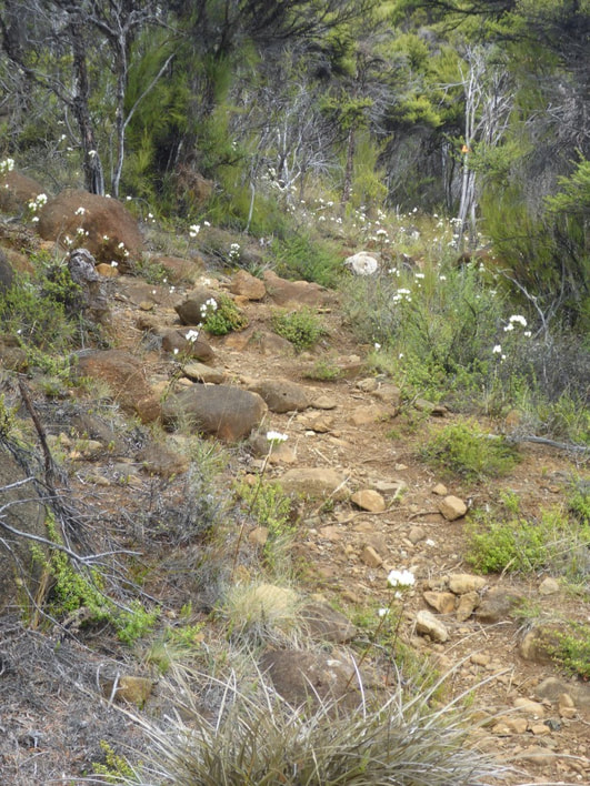
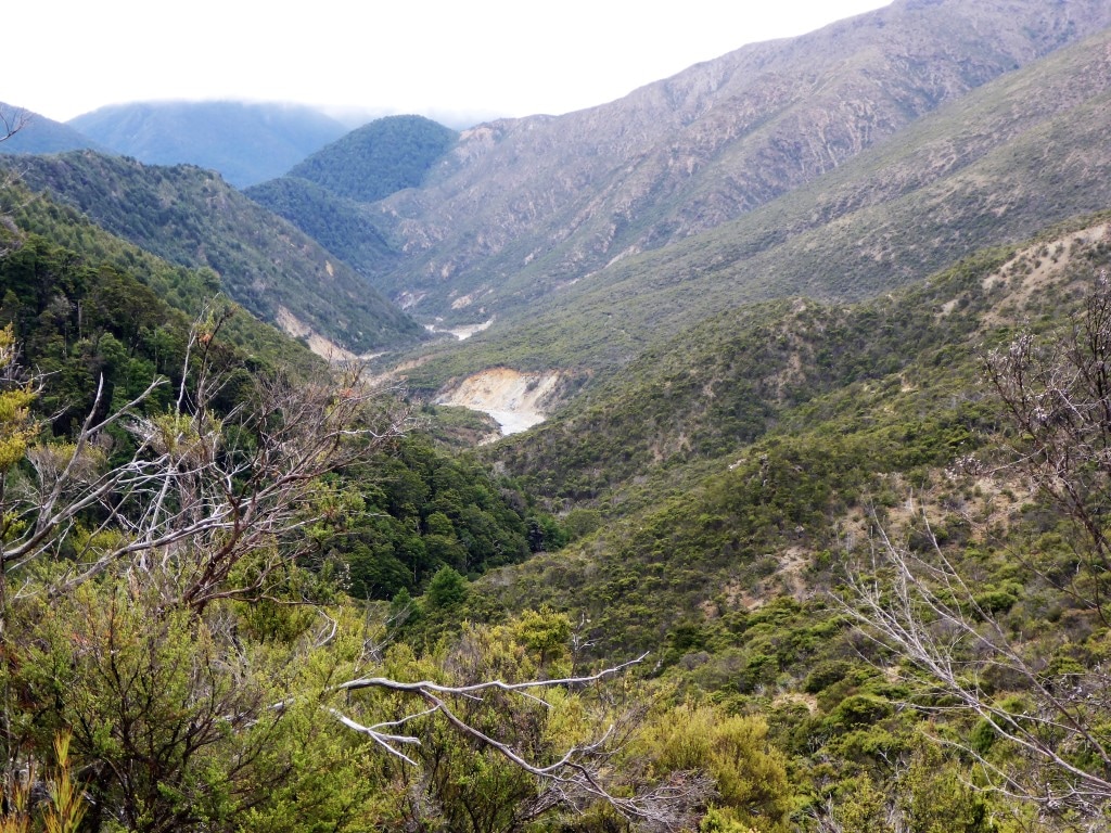 Having made the final crossing of the Motueka, this is looking back down the valley as we climbed up alongside Maitland Stream. 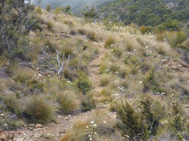 Things got less steep as we approached Red Hills Hut. More flowers to brighten the day!
3 Comments
19/3/2021 15:32:32
Wonder how does it feel to be on such a secluded and peaceful place like that. Was that a smoke or a fog? Leave a Reply. |

AuthorBelinda and Anthony (aka Tony) Hadfield made a decision, in their late 50's, to do something a "bit different" and walk New Zealand's 3000km Te Araroa Trail over summer 2015/16 - although updates will now tell you that this plan will take longer now!!. As the old saying goes - "don't leave home 'til you've seen the country"!! Archives
January 2018
Categories |
 RSS Feed