|
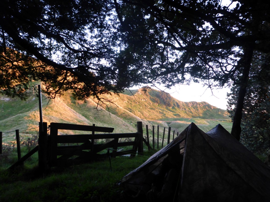
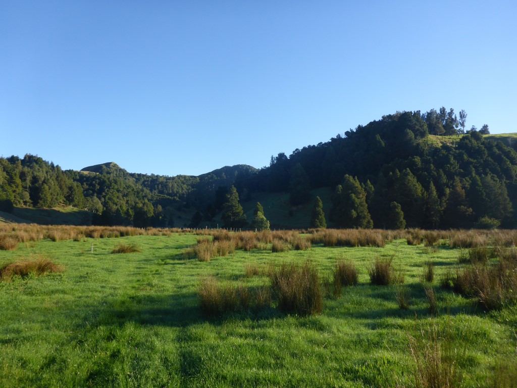
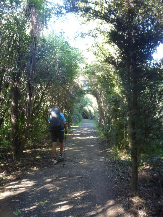
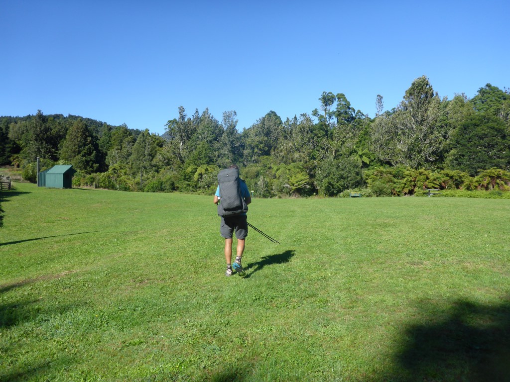
As we didn't have vast quantities of water we left our campsite at 0715 with just a cold snack. The day ended up being around 18km - arriving at Pahautea Hut atop Mt Pirongia near enough to 1600. Not the fastest day but, considering we did over 1000m of ascent and almost 500m of descent over the day, it wasn't too bad for a couple of oldies! After leaving camp, the bush walk continued only for about 1km before we broke out into farmland again. It was dewy so very wet feet were soon the order of the day, although it was nice going for the 2 km or so of farm before coming down by a limeworks and back onto road.
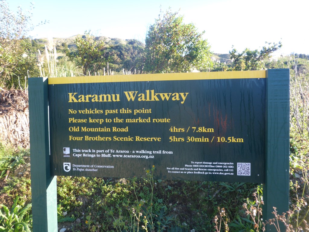
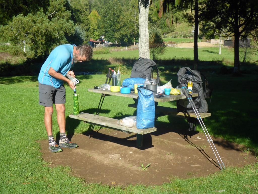
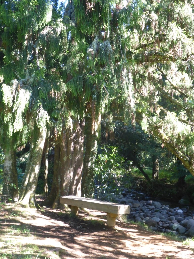
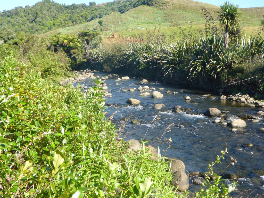
Another 4 km of road saw us reach a small DoC carpark and campsite which is pretty much the start of the walkway up Pirongia. We stopped here and had breakfast for 50 mins or so, including a cuppa! Also topped up our water supplies, from the nearby Kaniwhaniwha Stream, for the climb. We set off following the stream south and after about 600m came to the DoC signs for all the camps and walkways on Pirongia (quite a few!). The sign said our track was 10 km when TA suggested nearer 9km. What's a km or two amongst friends?!
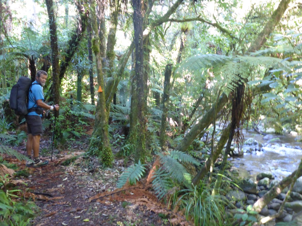
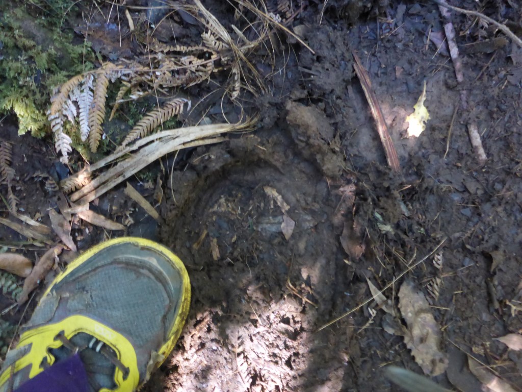
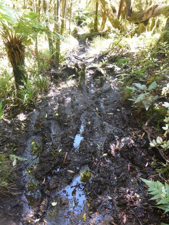
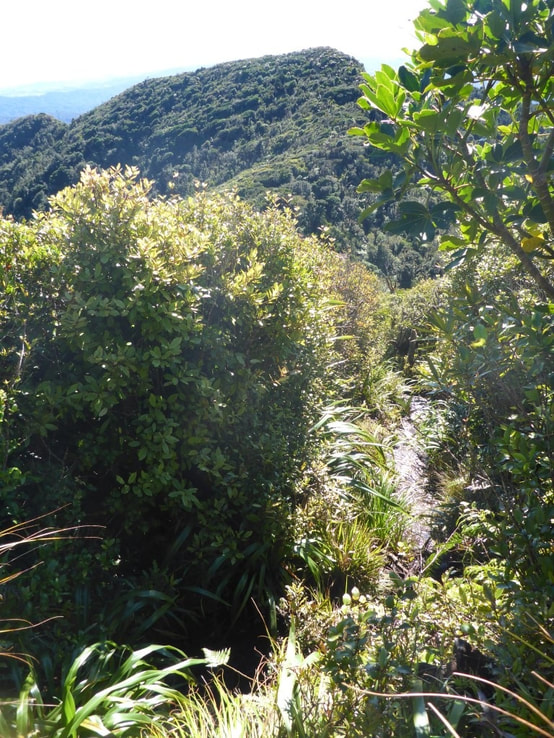
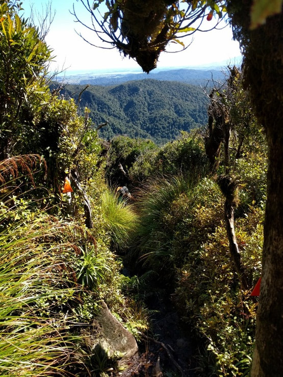
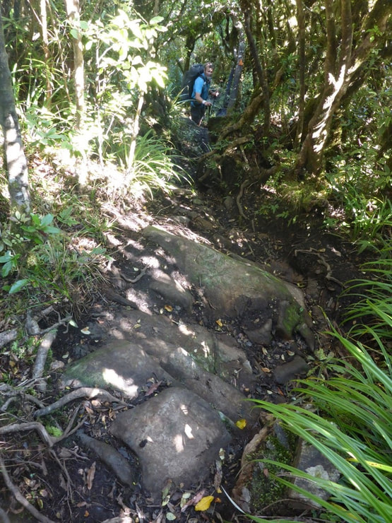
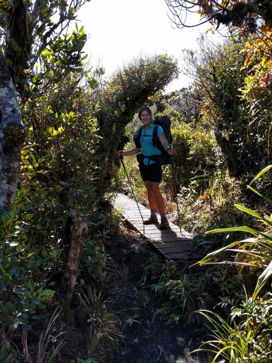
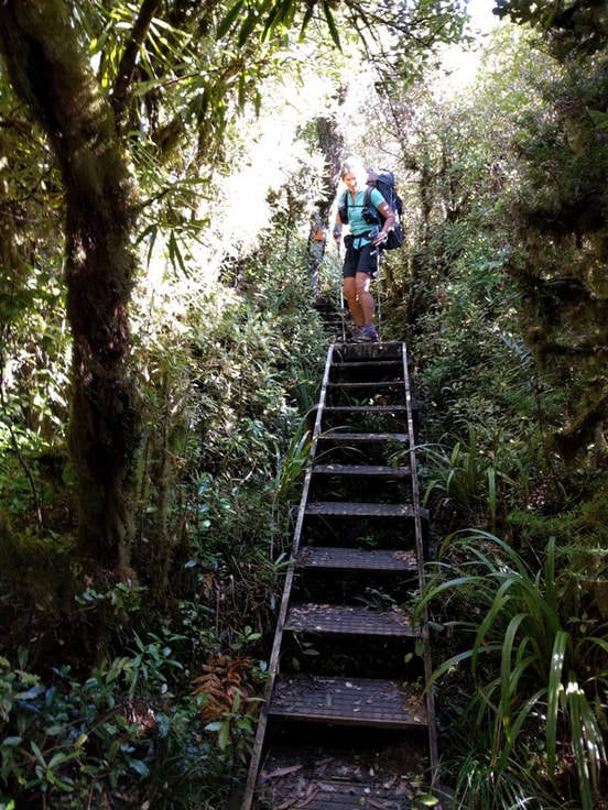
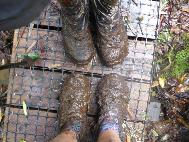
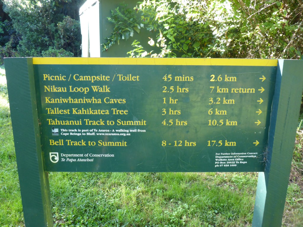 We take the Tahuanui Track - as always with TA, it is the "direct" route!! After our breakfast, we crossed the road from the carpark and started off with some flat road walking for the first 2km or so, when our "goat track" diverged from other tracks up and around the mountain. At this stage the sign said 8 km and 4 hours to the summit. We were only at about 150m ASL here and we had to get to 959m! The first maybe 6km of the track was really rather pleasant - tramping track standard, some mud and obviously steadily uphill, but far from the worst we had seen! However we had been lulled into a false sense of security - this is the TA after all! From here for the last 2 km or so to the summit, the track really was a bit of a goat track - lots of mud everywhere (who knows how it gets so moist high up a mountain when there has been little rain - springs presumably), narrow with lots of steep climbs through tangles of roots, as well as up through rocky patches - pretty much all wet.
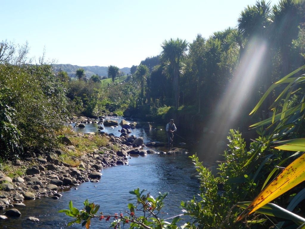 Fisherman at "play" on the Kaniwhaniwha Stream.
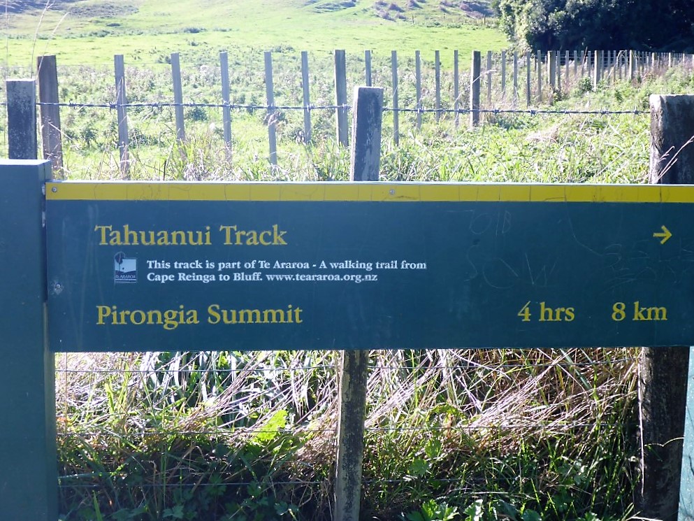 This is our sign at the edge of that camping area.
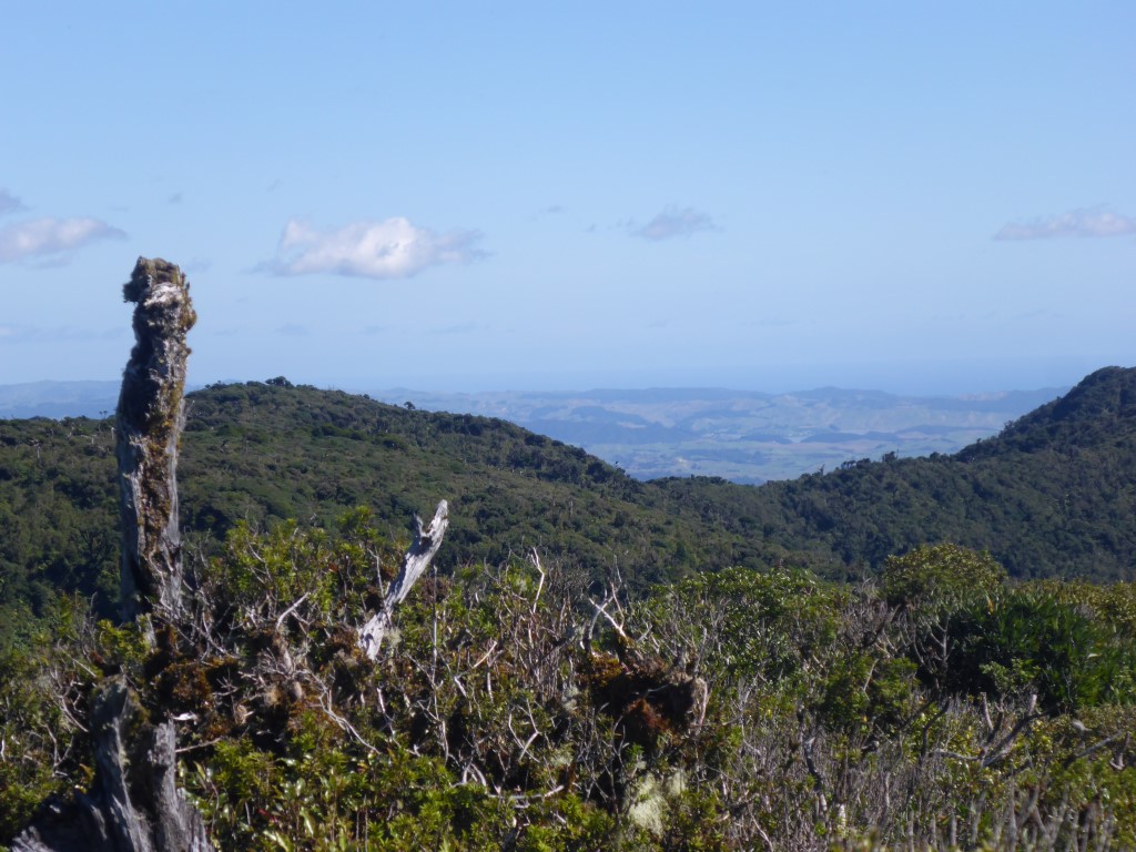
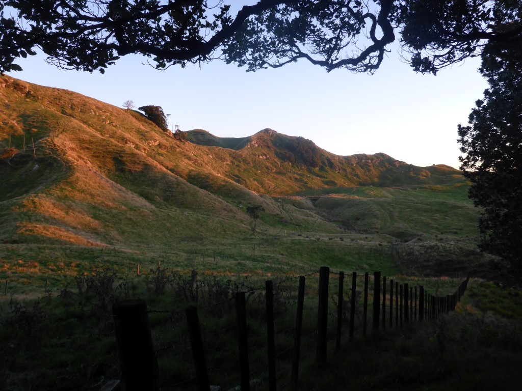
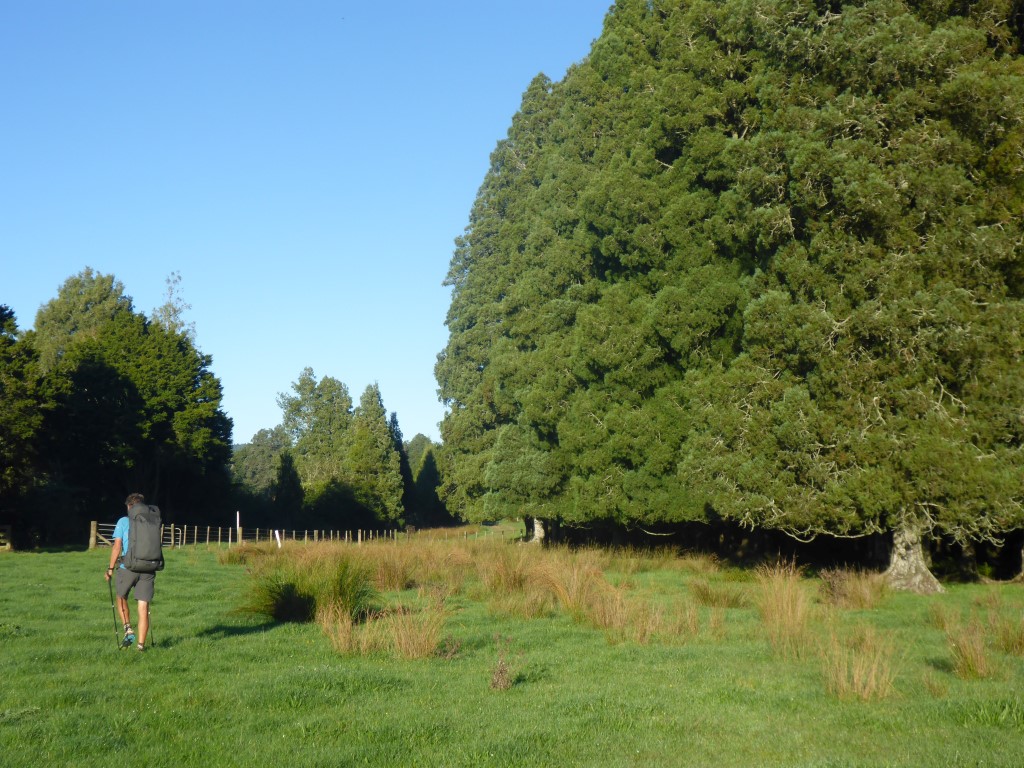
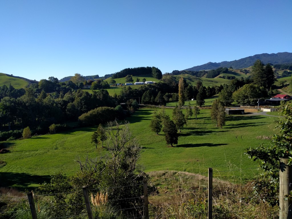
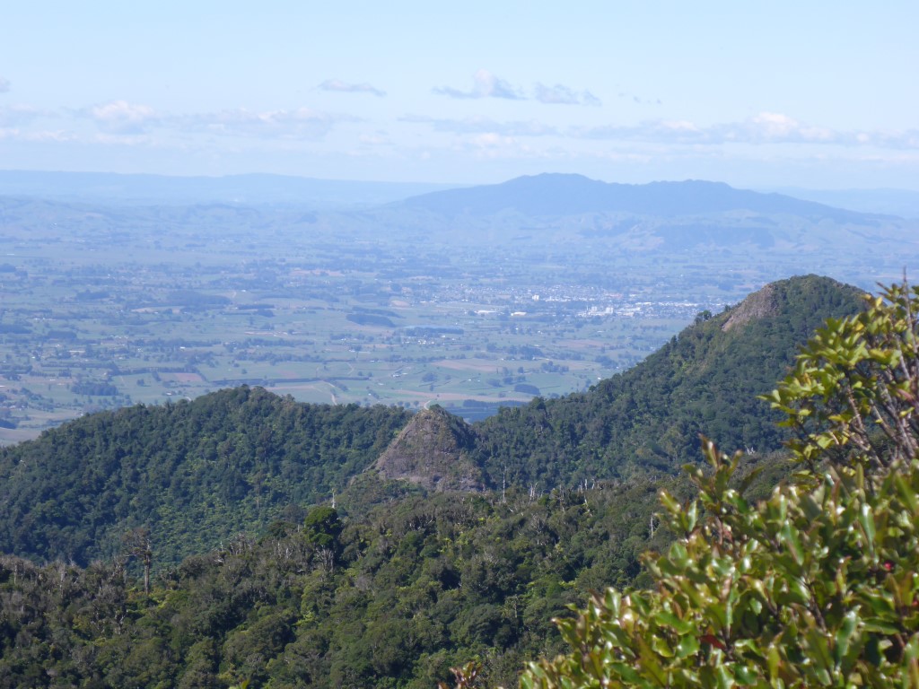
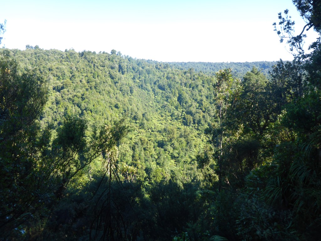 ...... and some great views already.
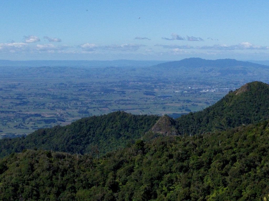 Still the occasional great views - weather was just fantastic. 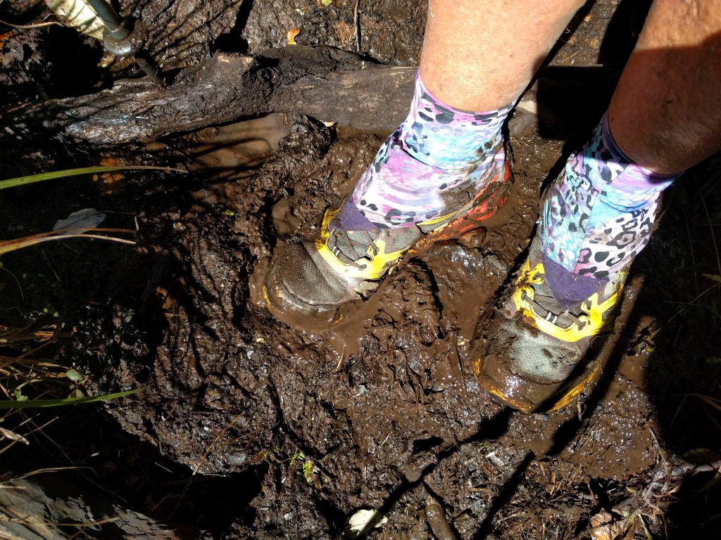 Shoes not too bad at this stage!
 As I note in the blog, it would not be so much fun if you had a bad weather day!
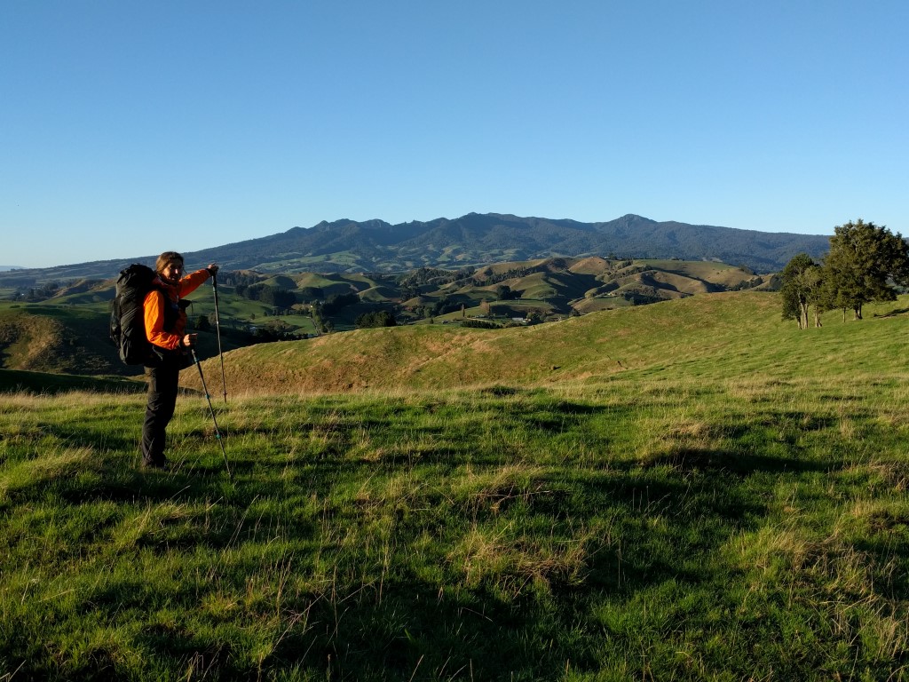
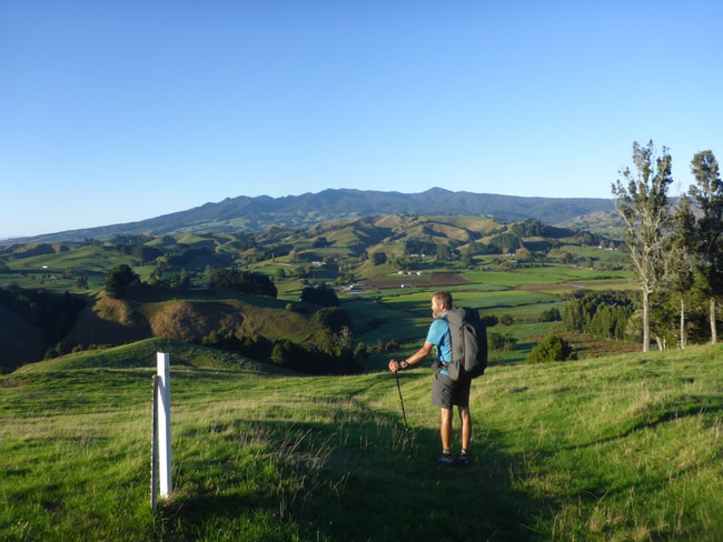
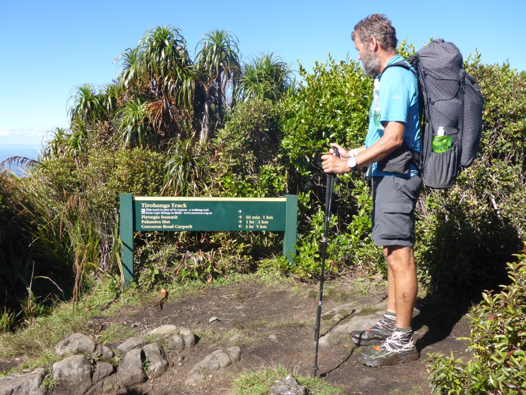 Still 1km to the summit and 2km to the hut.
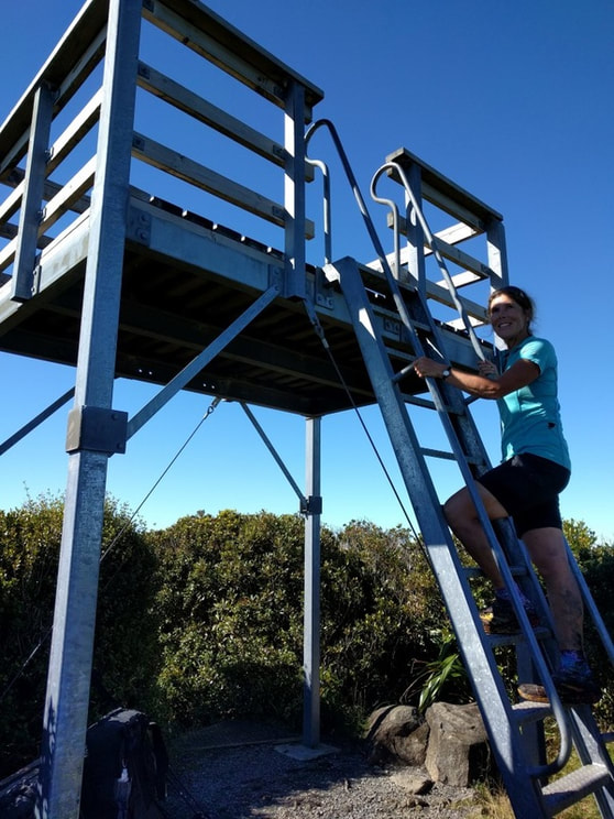
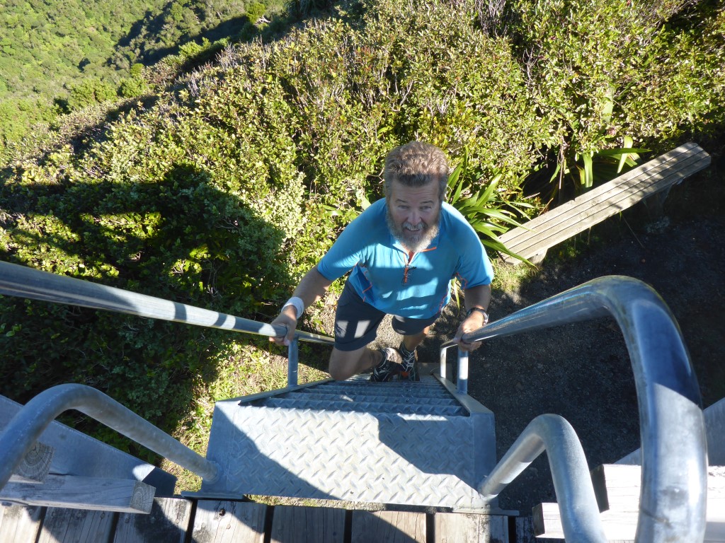
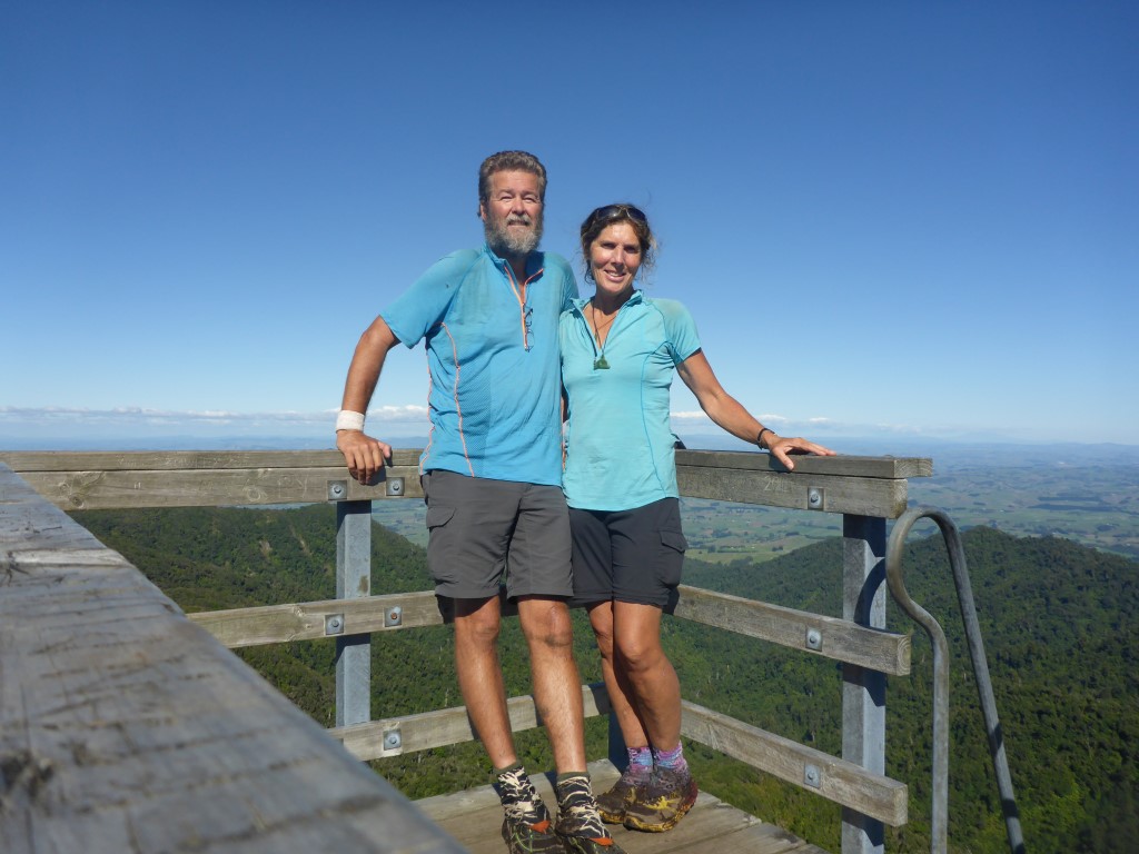
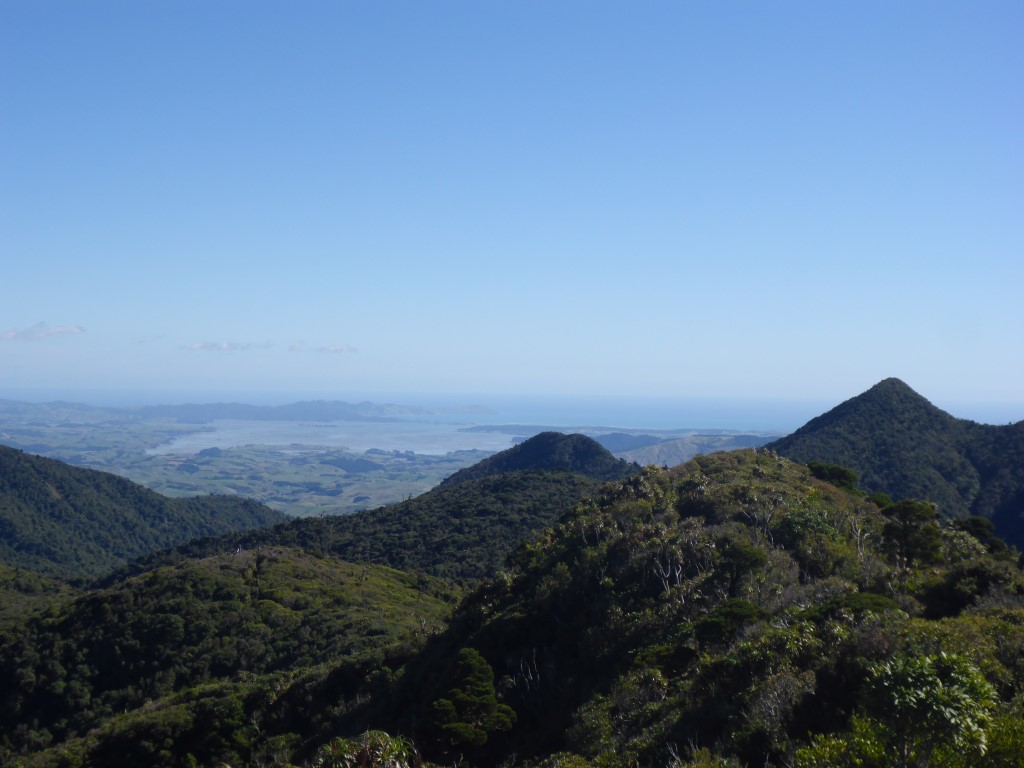
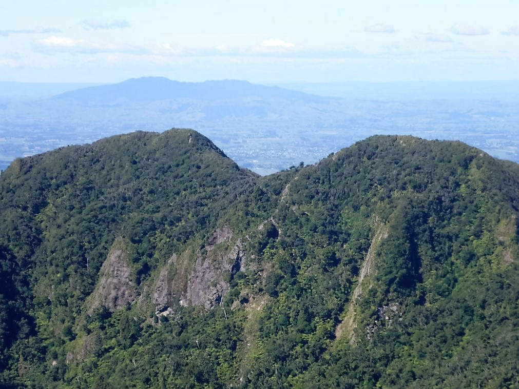
The incongruous thing was that nearer to the summit there were also a few patches of boardwalk and even some steps! We reached the summit about 1400 - meaning we had come in on the lower end of DoC's estimate of 4-5 hrs for the 10 km. Not bad for a couple of old fogies! Glorious 360 degree views from the lookout tower - Kawhia and Raglan to the W/NW, Hamilton to the NE and also looking south to see Ruapehu, Tongariro etc. Stunning fine day as well so that made it all worthwhile. Must be a buggar tramping all the way to the top only to have the weather spoil the views
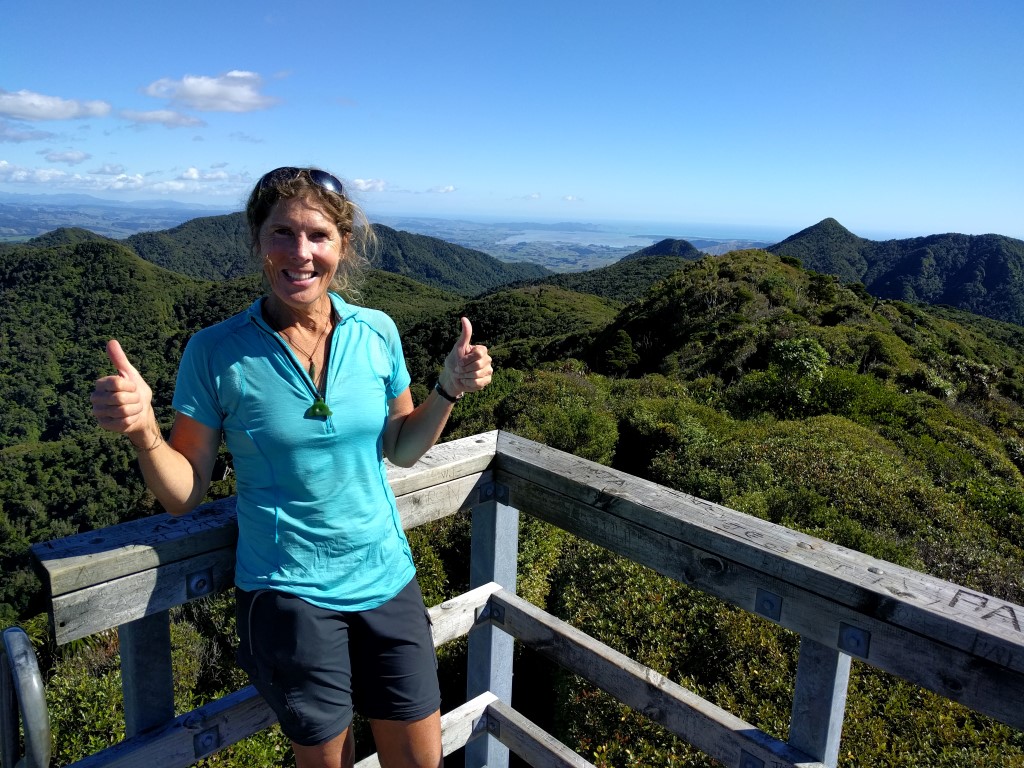 Made it - yahoooo!!!!
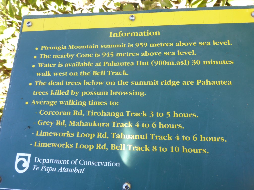 Read for yourselves :-)
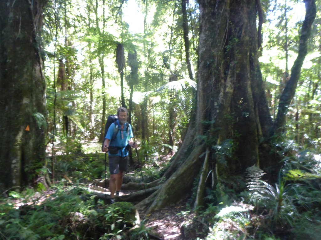
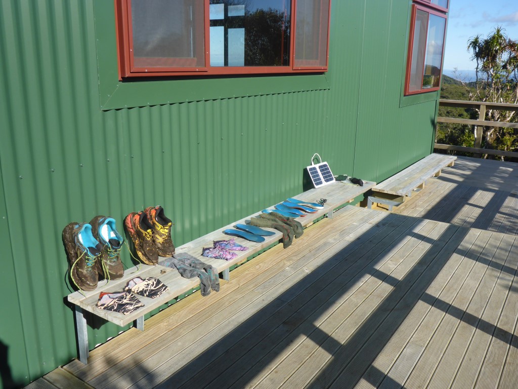
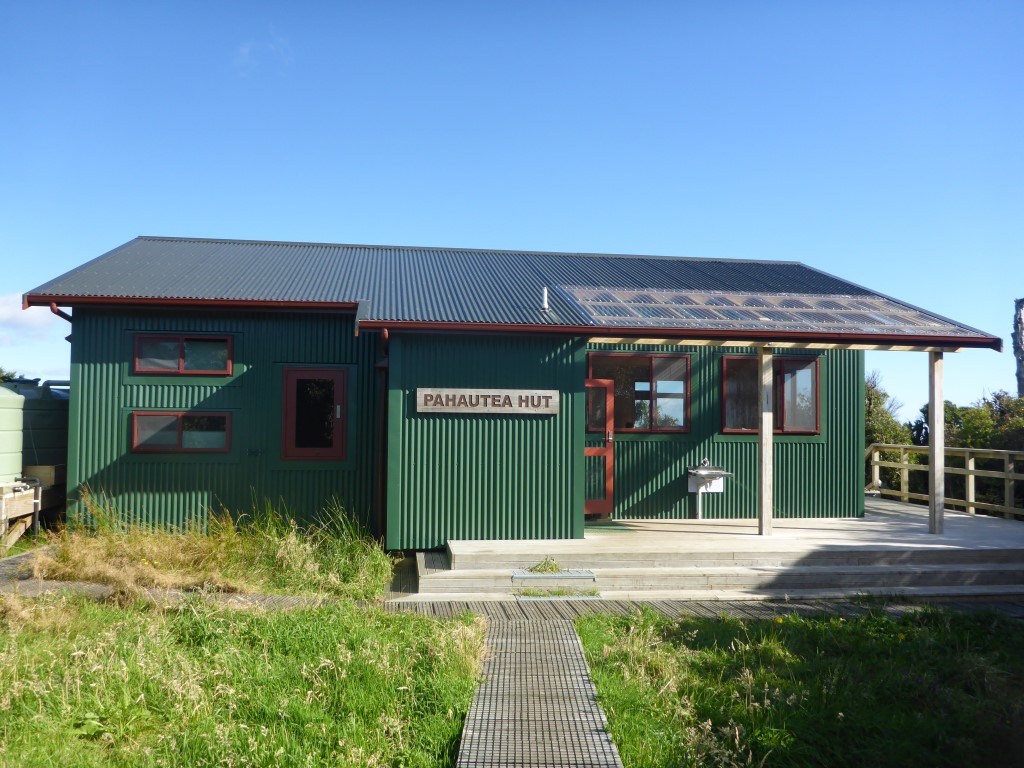
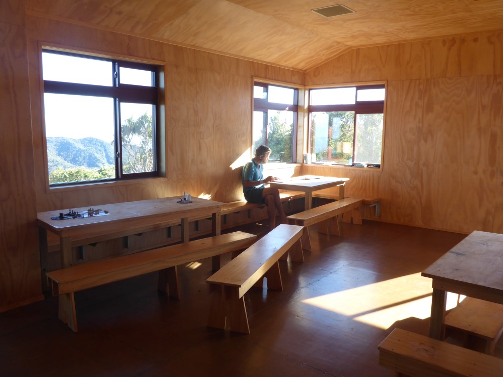
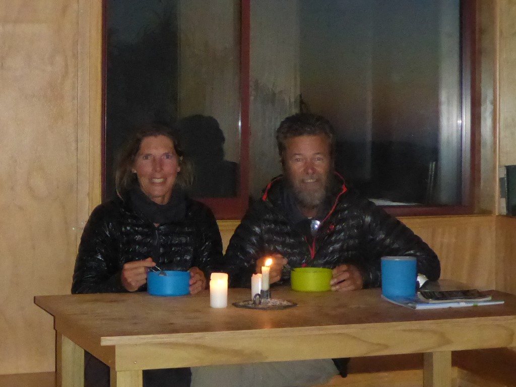
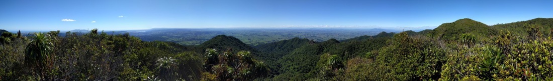 Panorama from the viewing platform. Have included a video I took at the top. Its compressed down to 9MB from the original 300MB so hopefully it will play OK for you. In the commentary, replace "whoflungdungy" with Tongariro and Ngauruhoe!! I had a temporary memory lapse - stagefright! Another very gnarly 1km of mainly descent saw us reach the beautiful new DoC Pahautea Hut. Great place to rest for the night - and we ended up being the only ones here. Shoes etc are very muddy but not worth cleaning as we have what is apparently a similar descent tomorrow - only 5.6 km but expected to take 4+ hours!! We'll worry about that tomorrow!
0 Comments
Leave a Reply. |

AuthorBelinda and Anthony (aka Tony) Hadfield made a decision, in their late 50's, to do something a "bit different" and walk New Zealand's 3000km Te Araroa Trail over summer 2015/16 - although updates will now tell you that this plan will take longer now!!. As the old saying goes - "don't leave home 'til you've seen the country"!! Archives
January 2018
Categories |

 RSS Feed