|
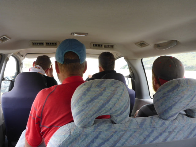
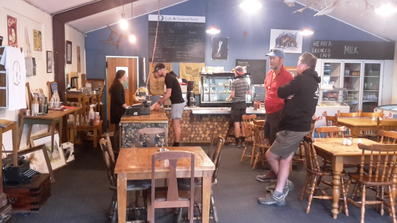
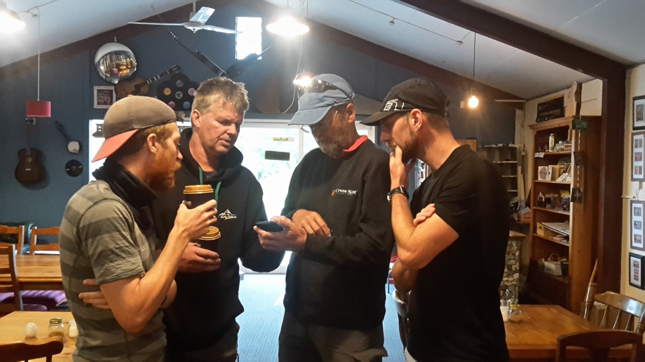
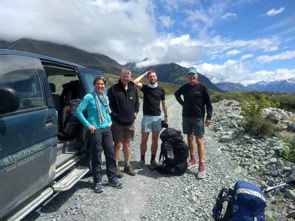
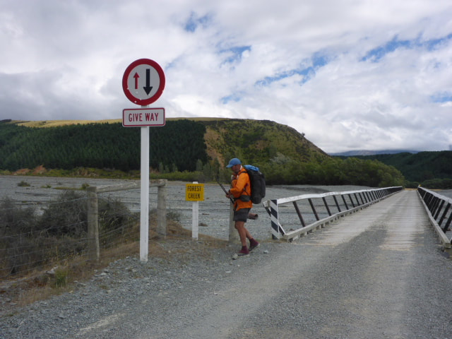
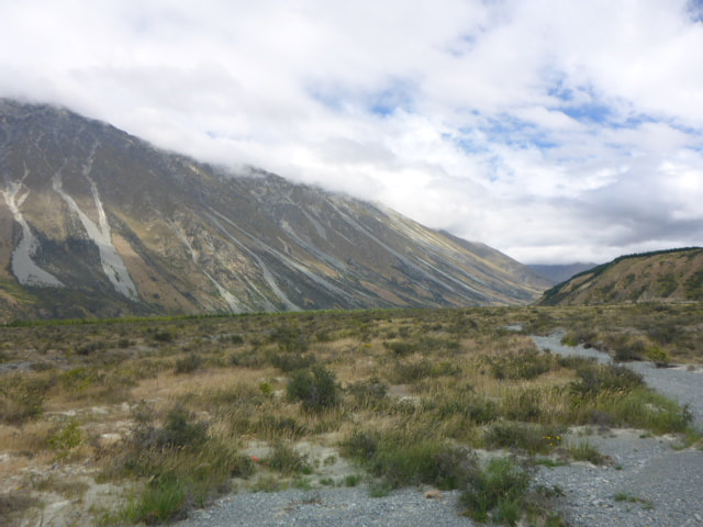
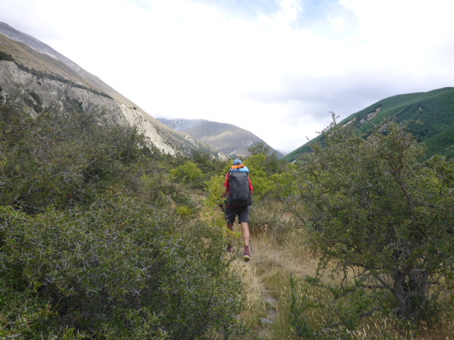
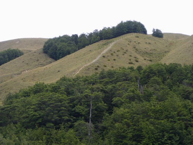
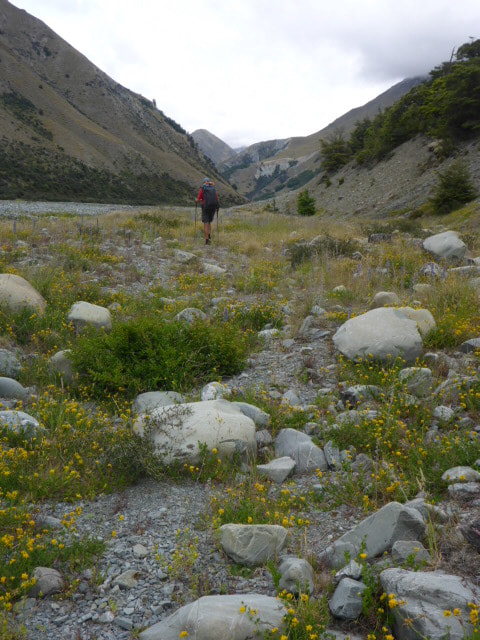
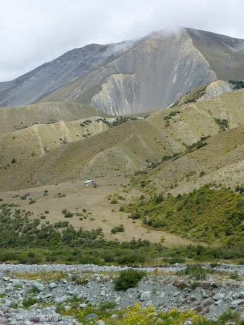
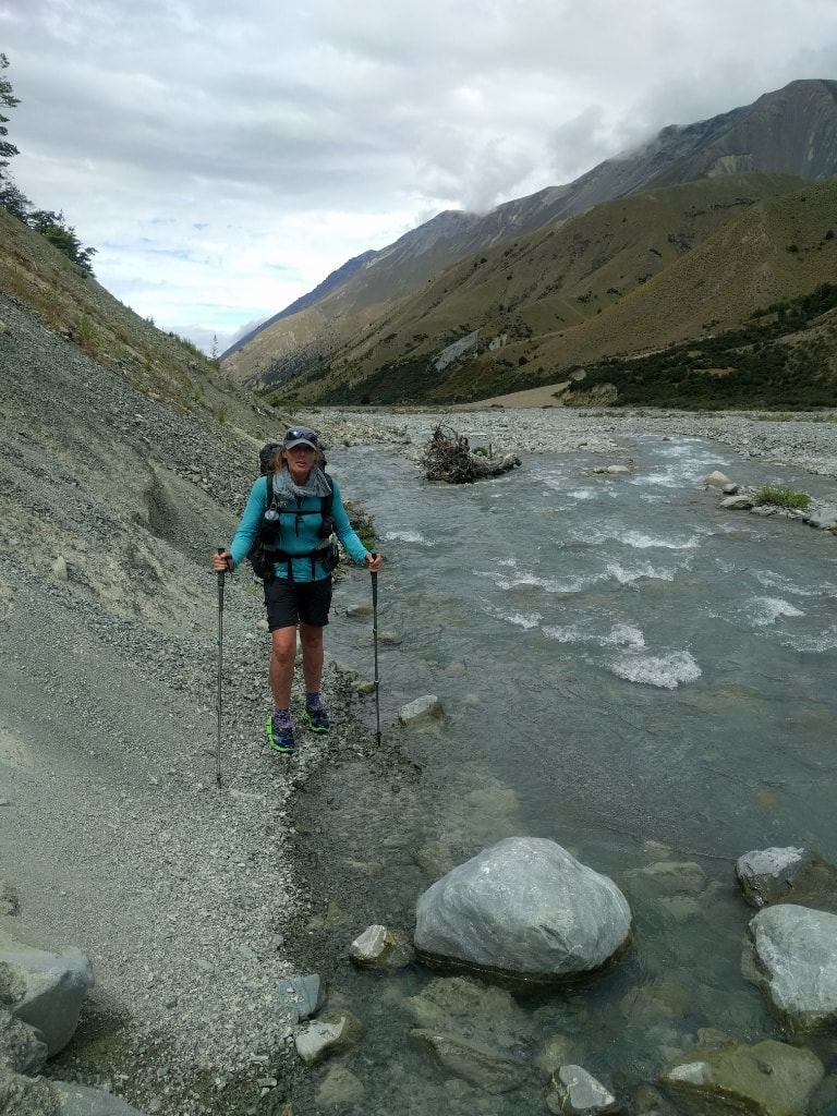
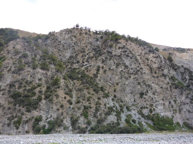
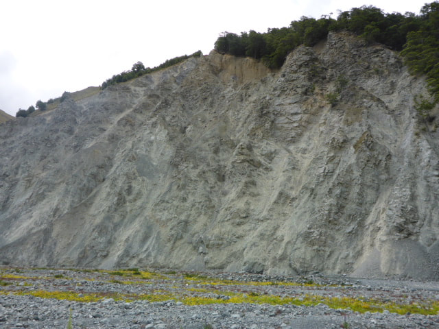
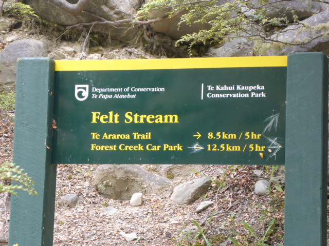
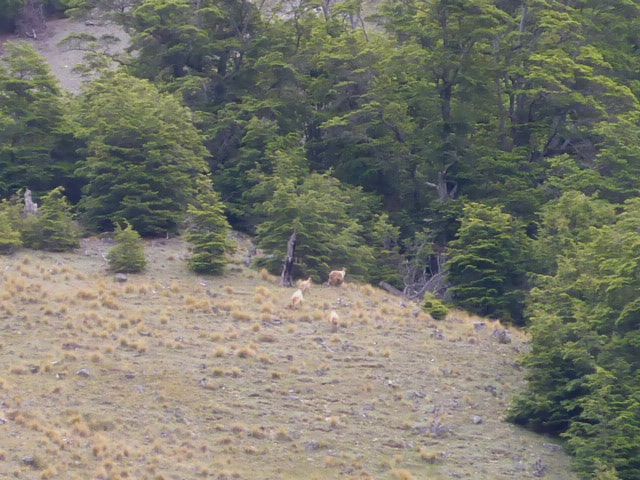
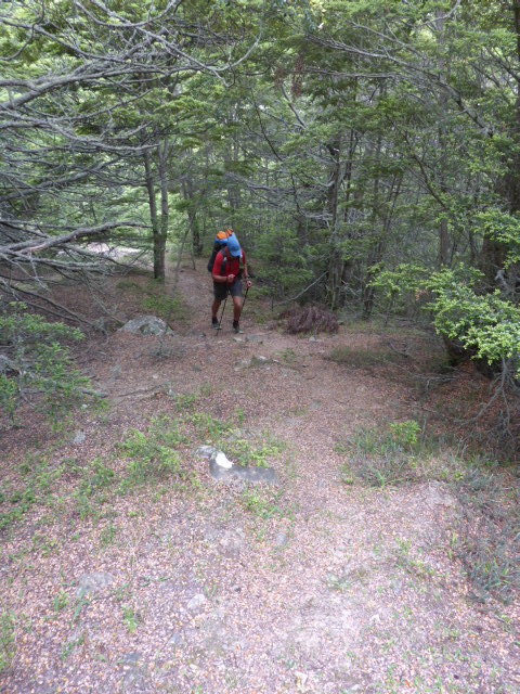
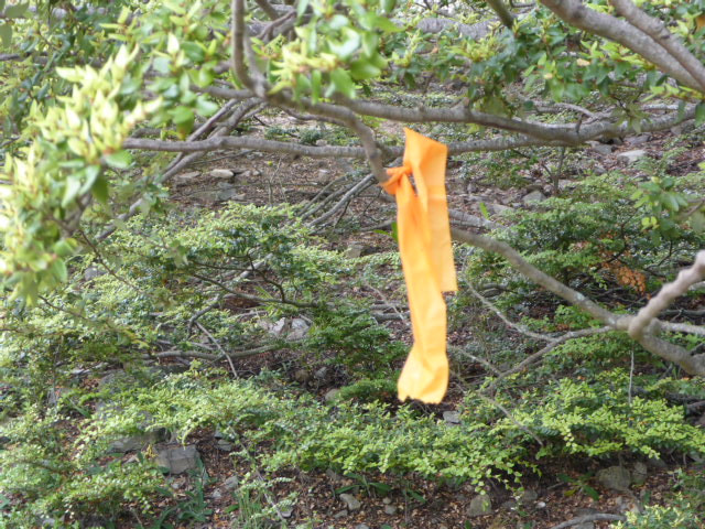
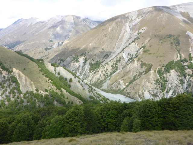
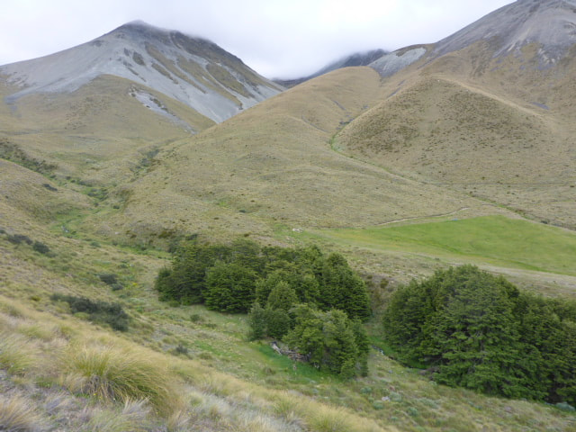
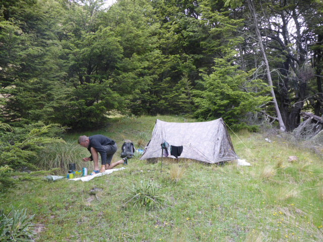
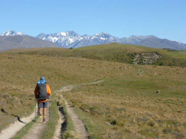
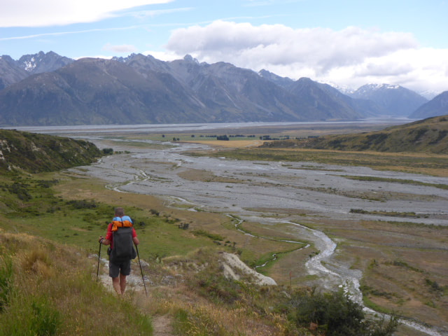
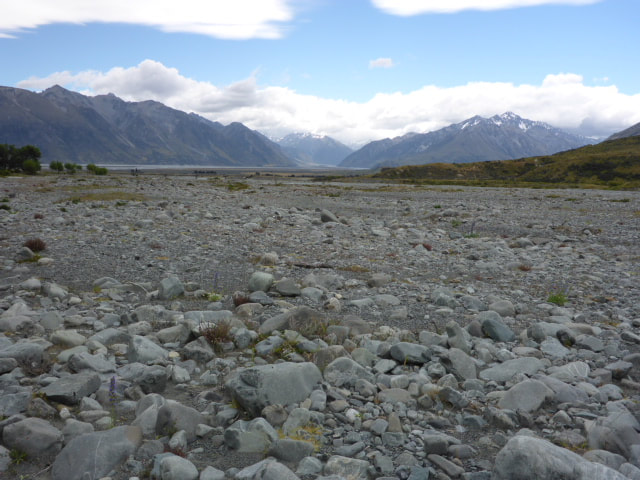
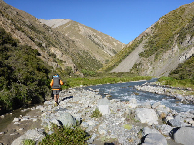
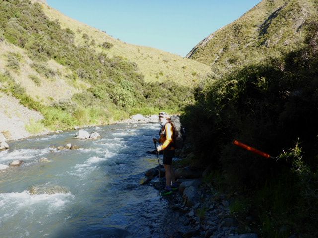
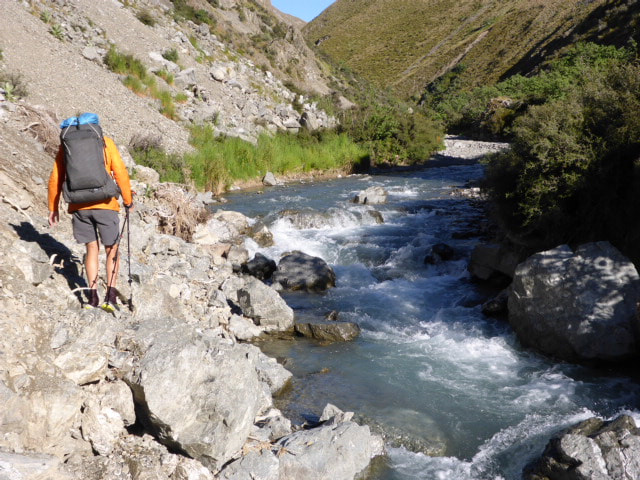
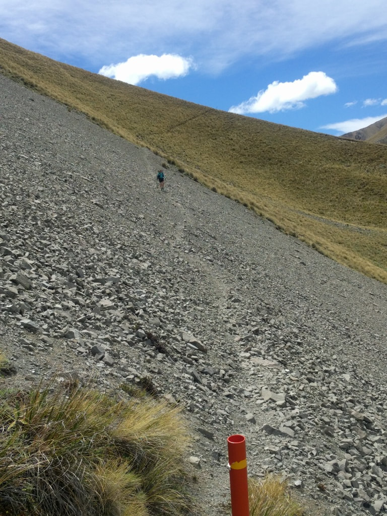
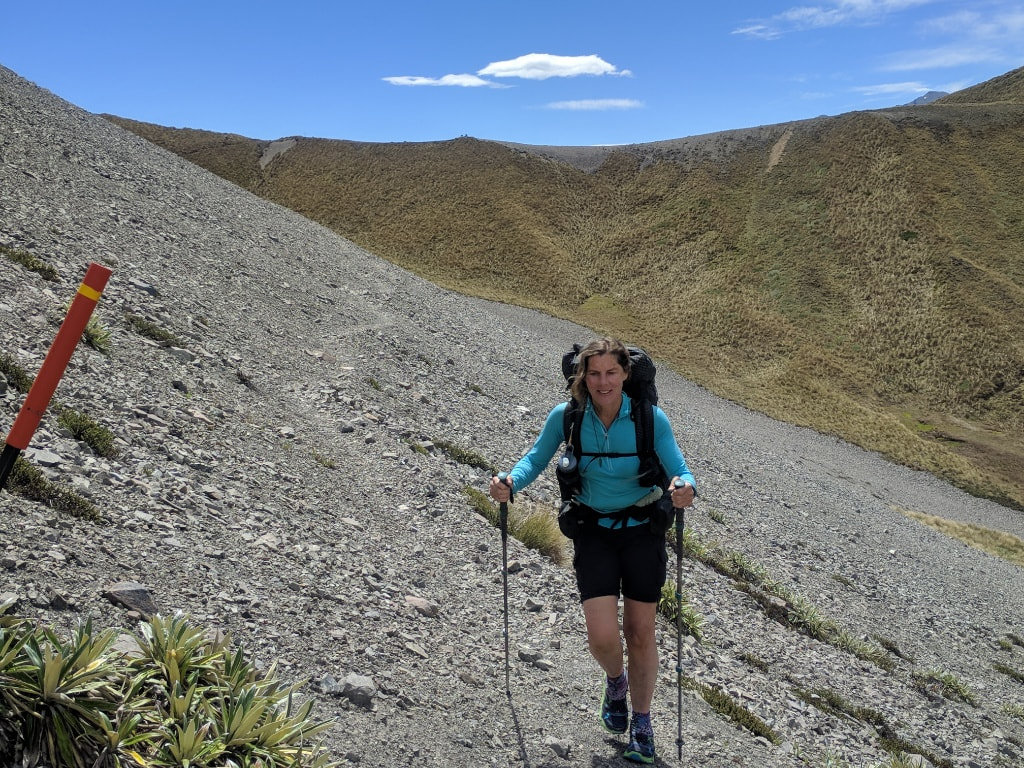
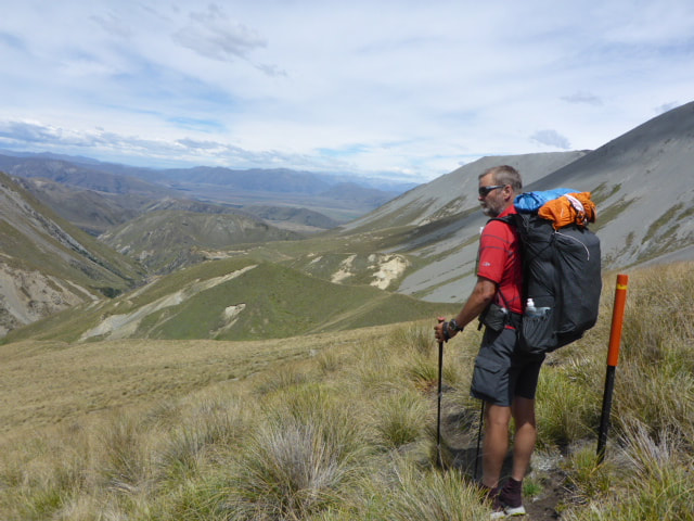
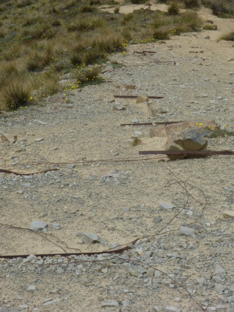
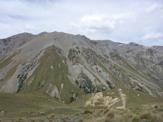
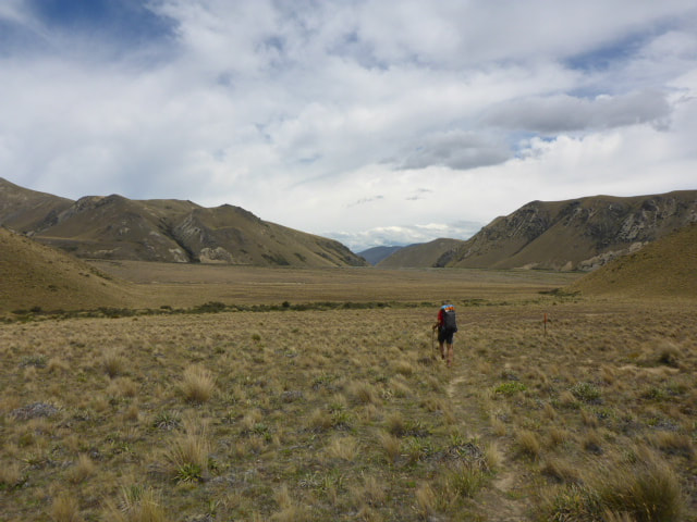
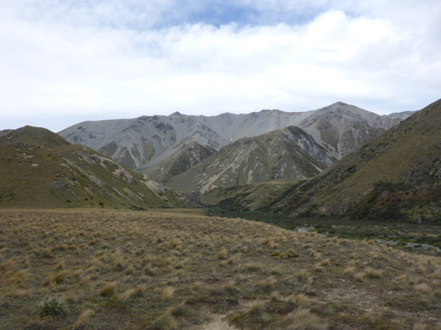
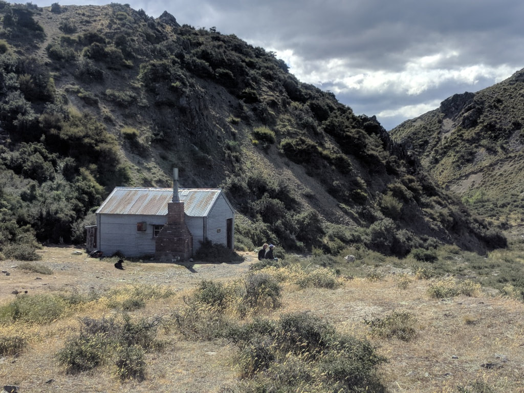
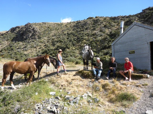
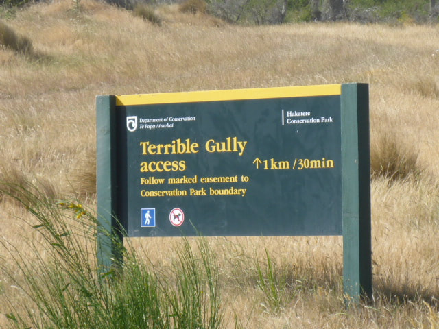
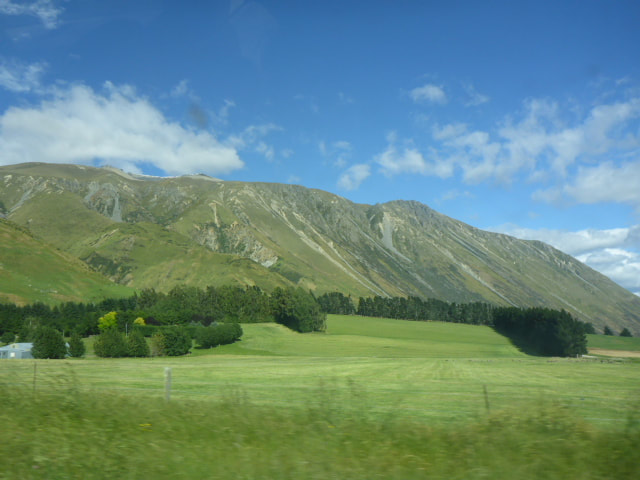
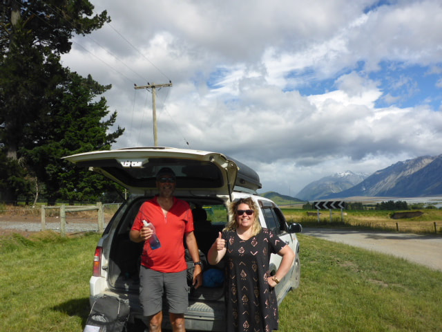
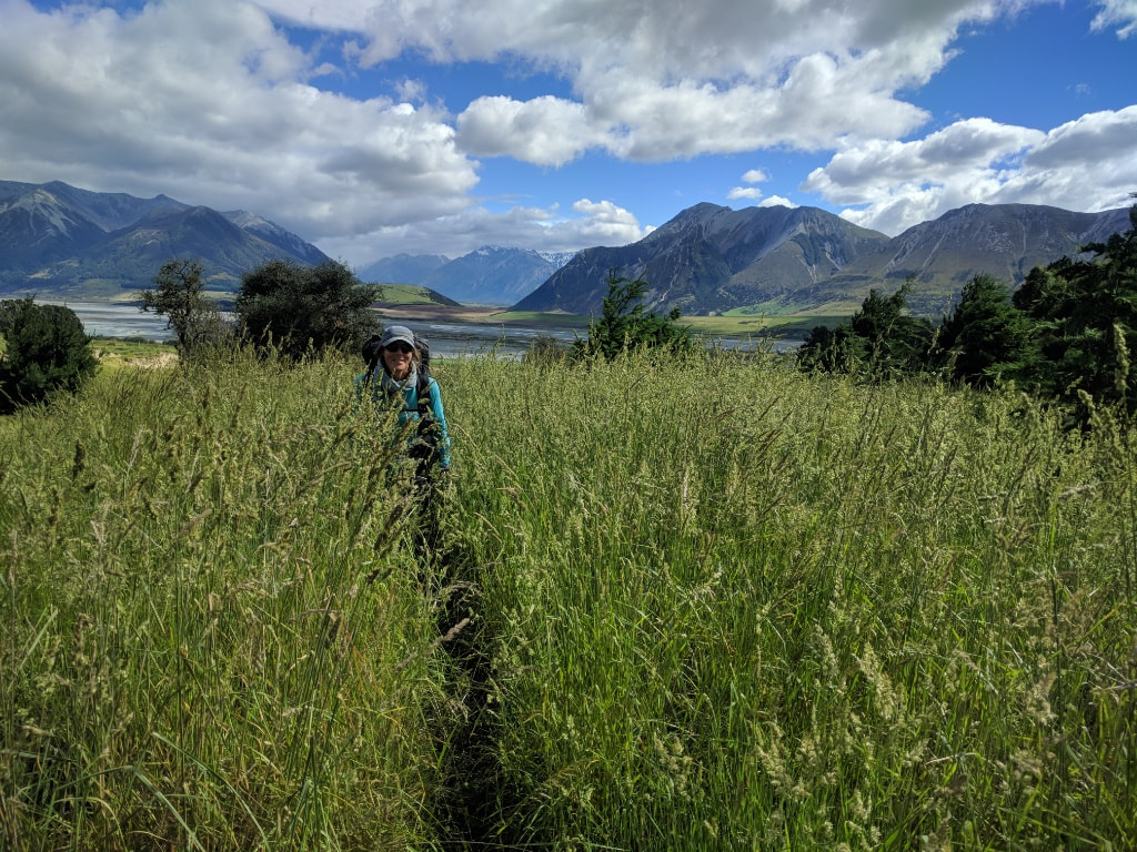
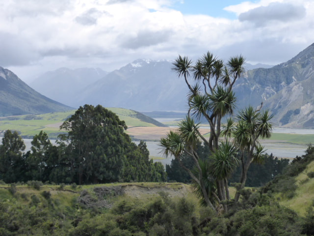
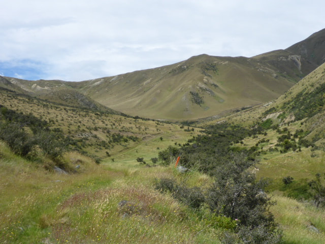
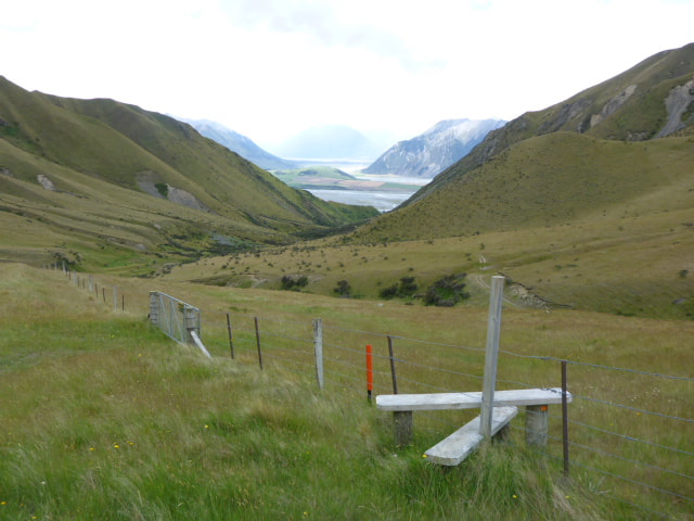
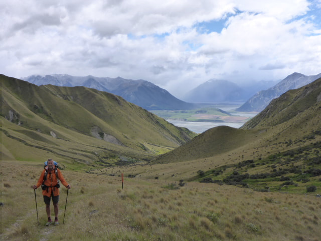
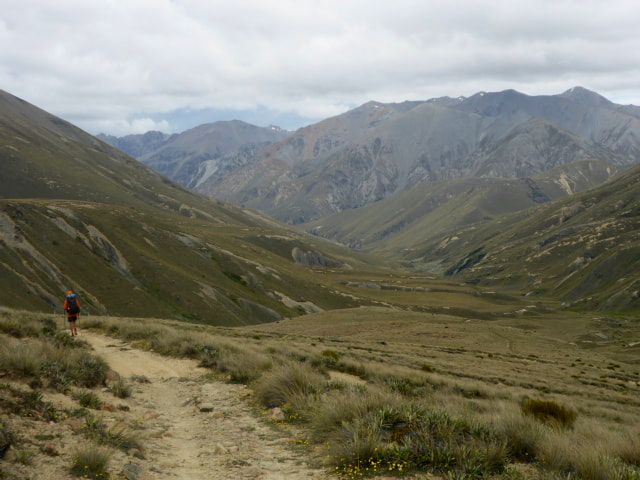
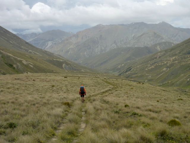
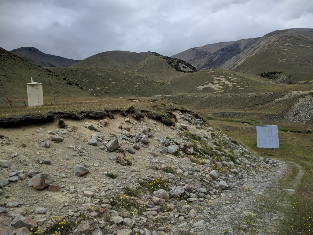
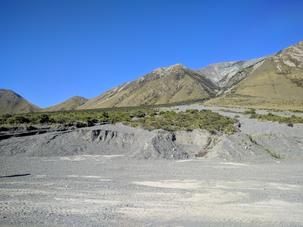
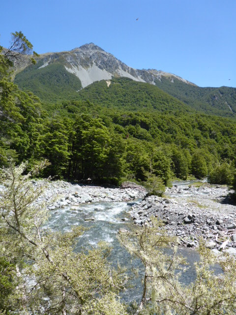
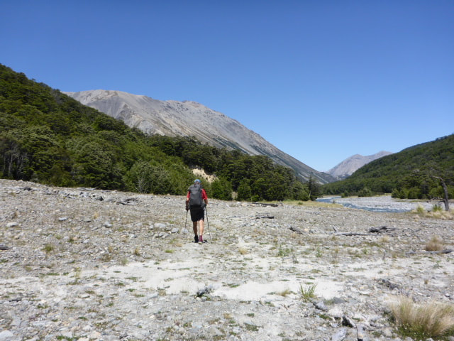
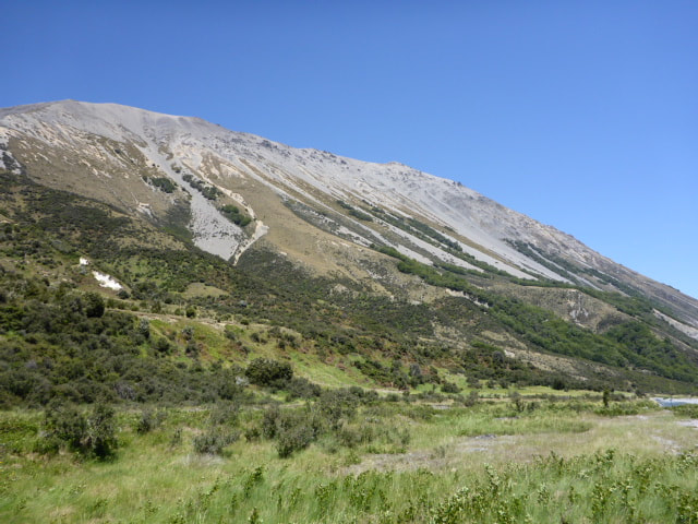
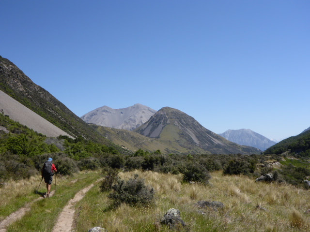
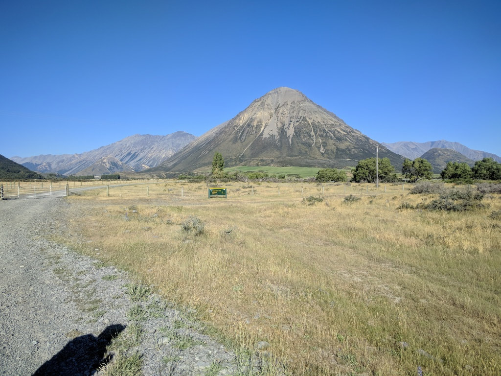
Wayne from Alps 2 Ocean picked us up just before 0900 for the trip around the river. We stopped in Mayfield for a pie (in my case) and other goodies for the others. Stopped again at Peel Forest Store as Wayne said they had the best coffee!! On the way up the South side of the river he mentioned the alternative route using Forest Creek (not Bush Stream) that used to be mentioned in the TA notes as an alternative when Bush Stream was challenging. He said quite a few people had to use it last year when Bush Stream was too high for some time. B and I looked at it as we passed and thought it might be a better bet for us. We all went up to look at Bush Stream and, while up a little, it didn't look too bad so Phil and Viggo decided to do Bush Stream and headed off. We had confirmed that we would try the Forest Creek route so Wayne dropped us a few kms further down the road and showed us how to get onto the track - we set off up Forest Creek at about 1215. It was a very informative trip and we would recommend Wayne to anyone needing some support in this area. We ended up doing over 15km today in over 4.5 hours of walking, climbing about 630m - about 300m of this was gradual up the riverbed followed by a steep 330m climb at the end of the day to our camp spot. The GPS track is here. About 13.5 km and 3.5 hours walking upstream we got to where the Forest Creek track headed off into the hills to eventually climb up to Bullock Bow Saddle (1692m). The walk up the wide Creek bed was OK, part of it following 4wd tracks through the shingle bed but other parts on river boulders and shingle. The 4wd track is not used much and is easy to lose in places, especially after all the heavy rain events over the last winter and spring. There are not many orange markers but they are not much use anyway as you know you are heading up the valley. There are a couple of marker poles and a DoC sign when you reach the track, so that was helpful as I wasn't sure whether it would be obvious or not. We had to cross the river a number of times as we got higher up the valley. When we got to the ”turn off” I was surprised to find we had walked up 300m in elevation during the trip up the river, so at about 780m asl already. We then started up a very steep climb - zig-zagging our way up a step face through some light beech forest. The first 700m of travel took us up about 250m in elevation which gives you some ideas of the steepness! It eased off a little but we still climbed up through open country to about 1100m as we sidle-climbed (new word!) around above the beech trees. Then it was a track (of sorts) through mainly tussock for about another 700m to where we had thought we might camp. This was near a private hut on what we presume is Mesopotamia Station land, so we were not going to try and use that without permission. We found a lovely sheltered spot in some beech, not far from a stream, with enough space for the tent - arrived here about 1740 and set up for the night. Feels like it might be a bit chillier tonight! This will leave us a vertical climb of about 600m to Bullock Bow Saddle tomorrow but we should rejoin the TA (Bush Stream track) in less than four hours, from where it is only a 2km walk to Royal Hut. We expect to meet up again with Phil and Viggo there tomorrow night to compare notes on our respective routes!
1 Comment
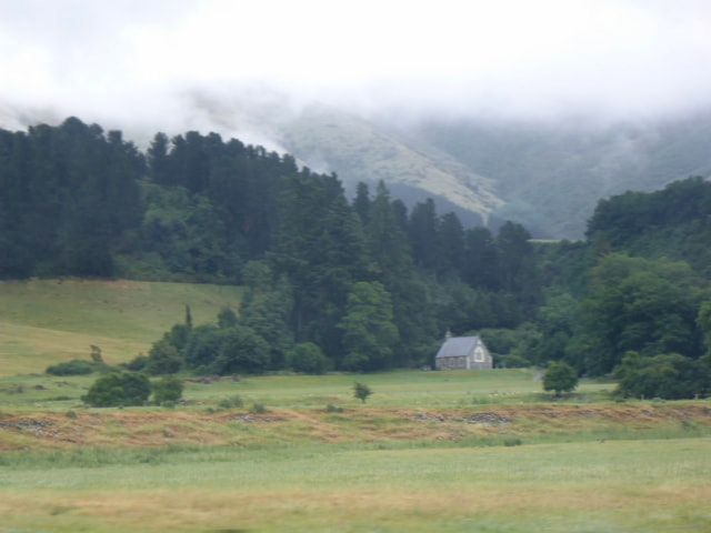
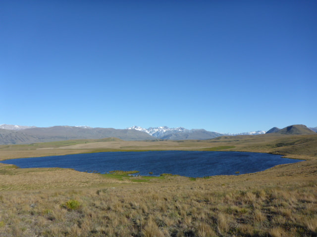
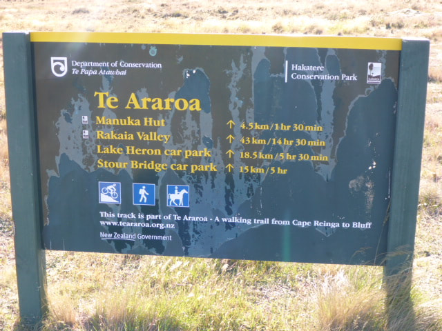
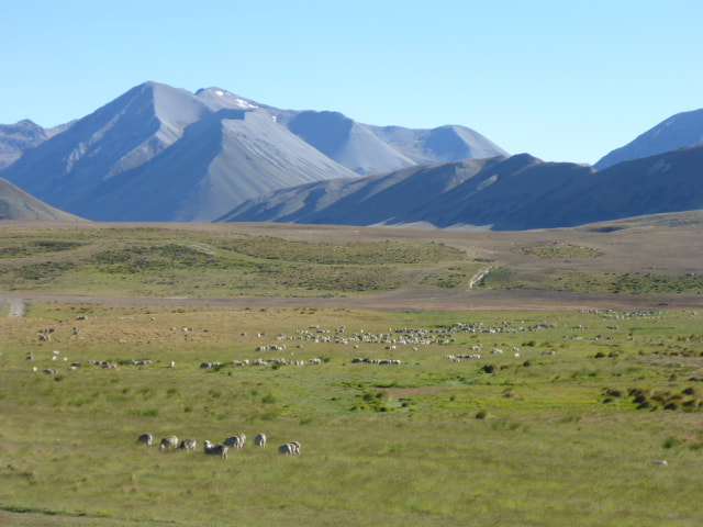
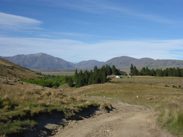
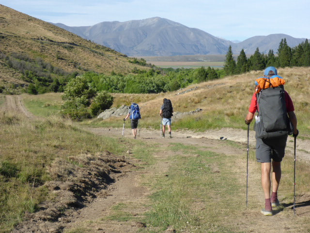
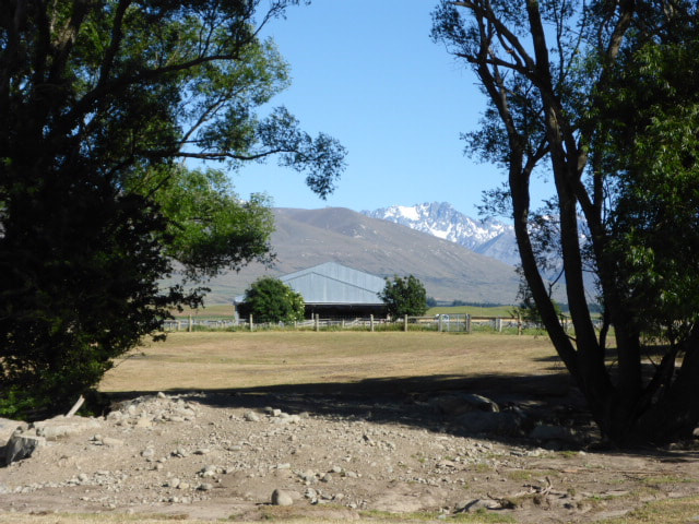
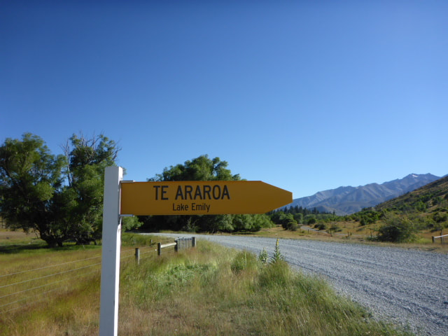
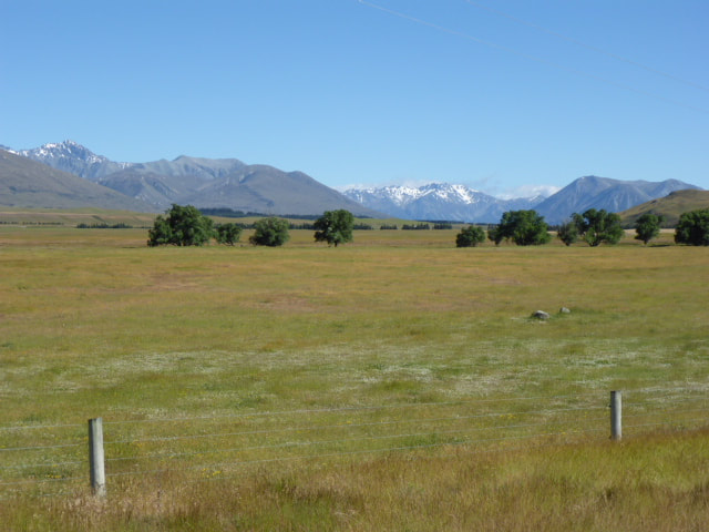
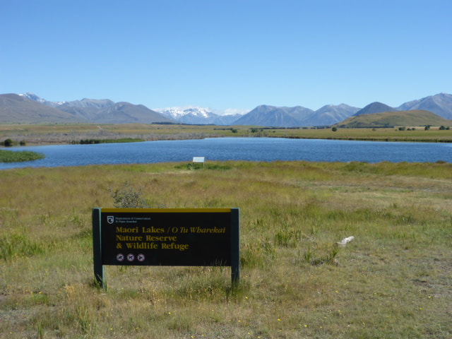
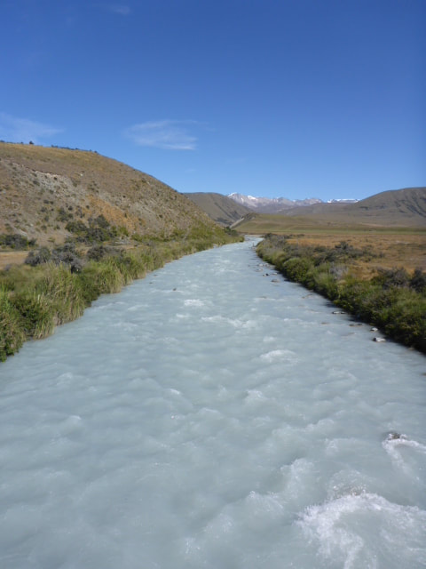
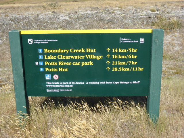
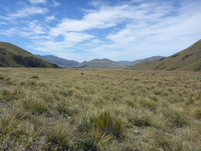
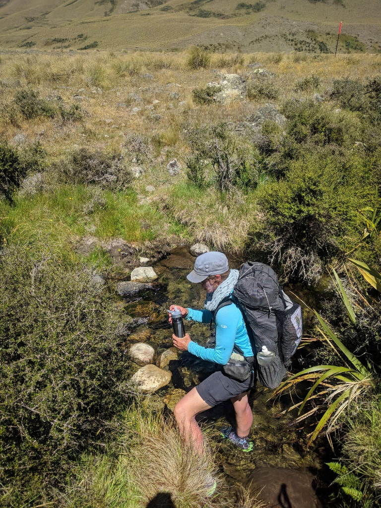
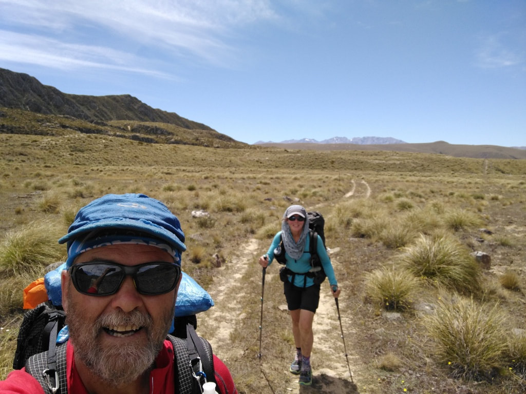
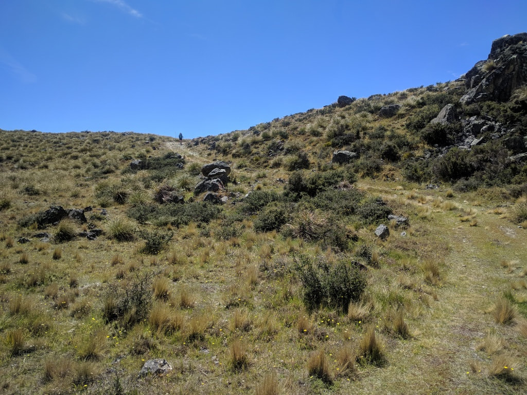
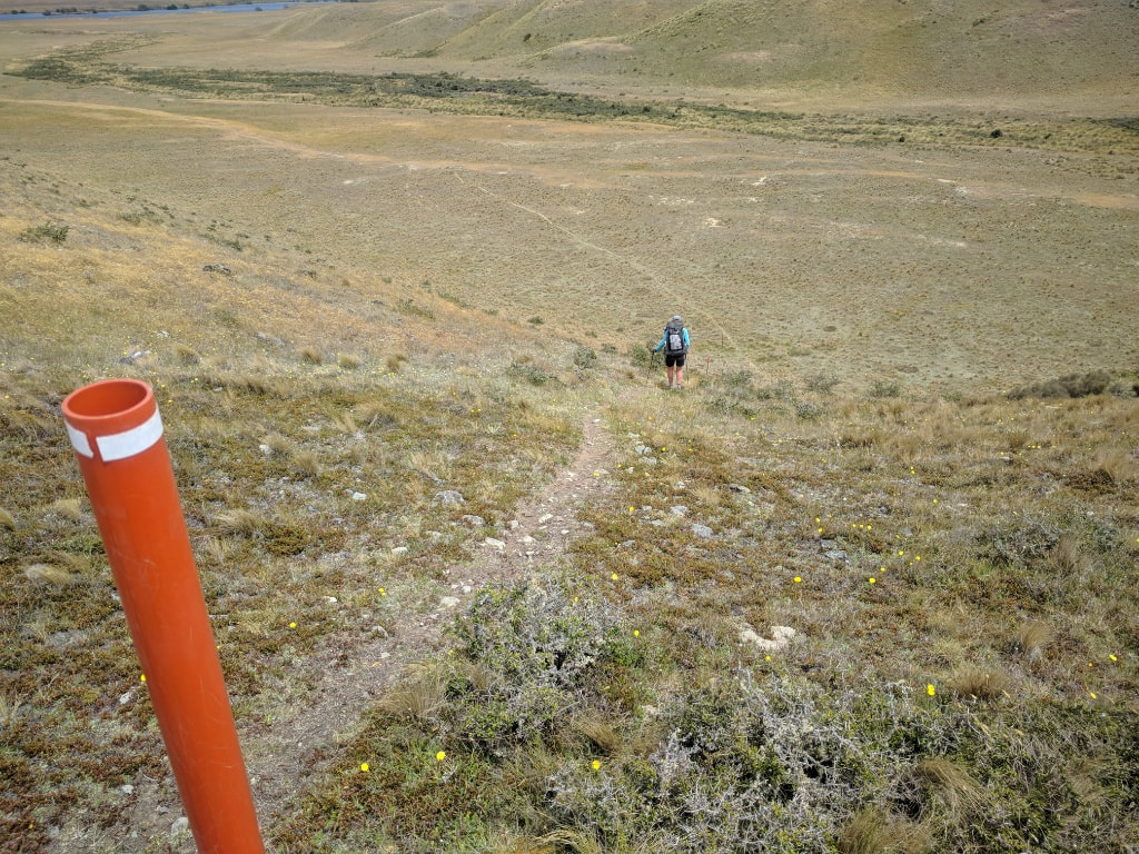
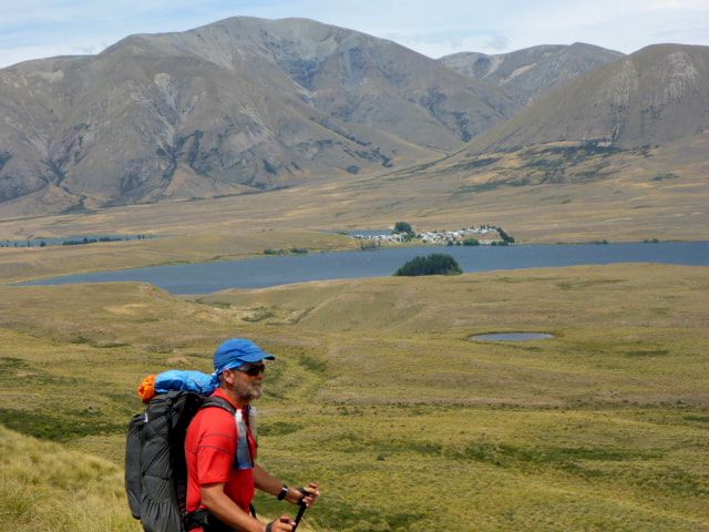
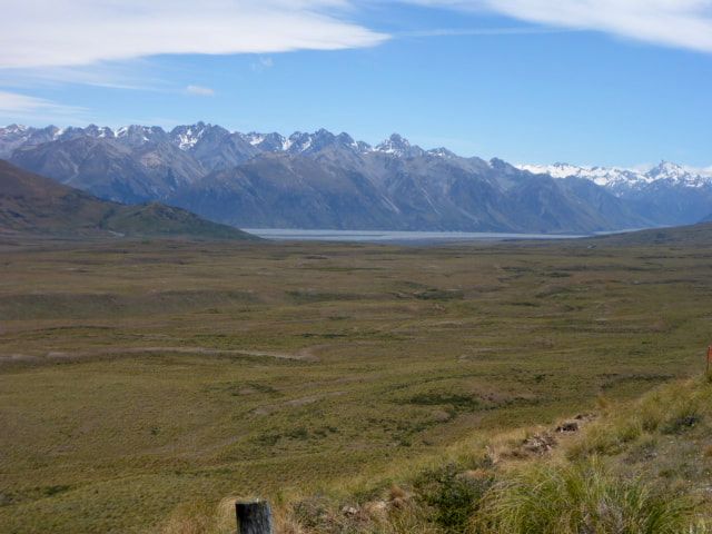
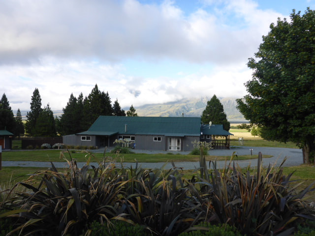
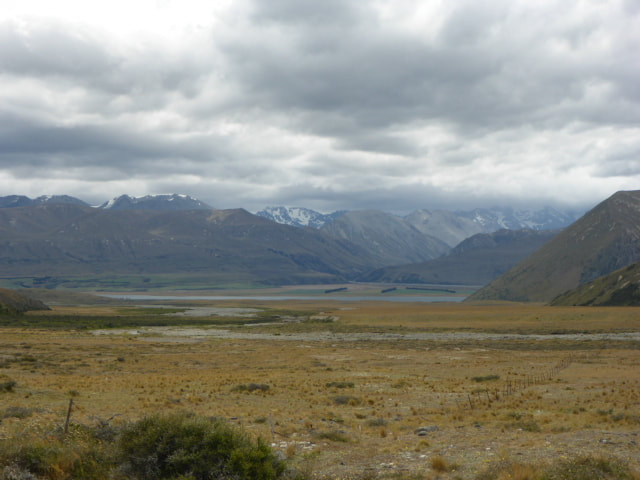
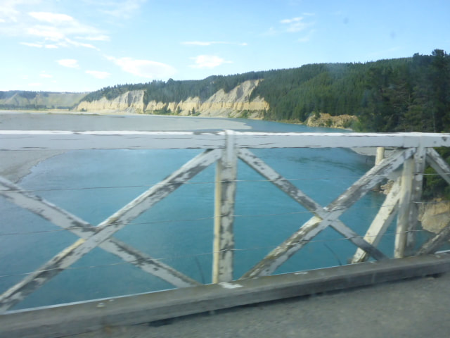
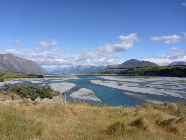
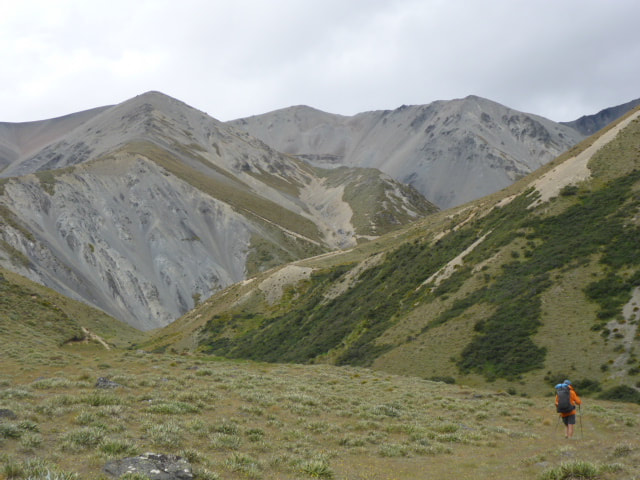
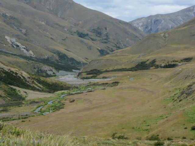
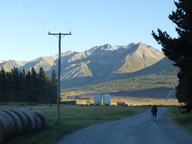
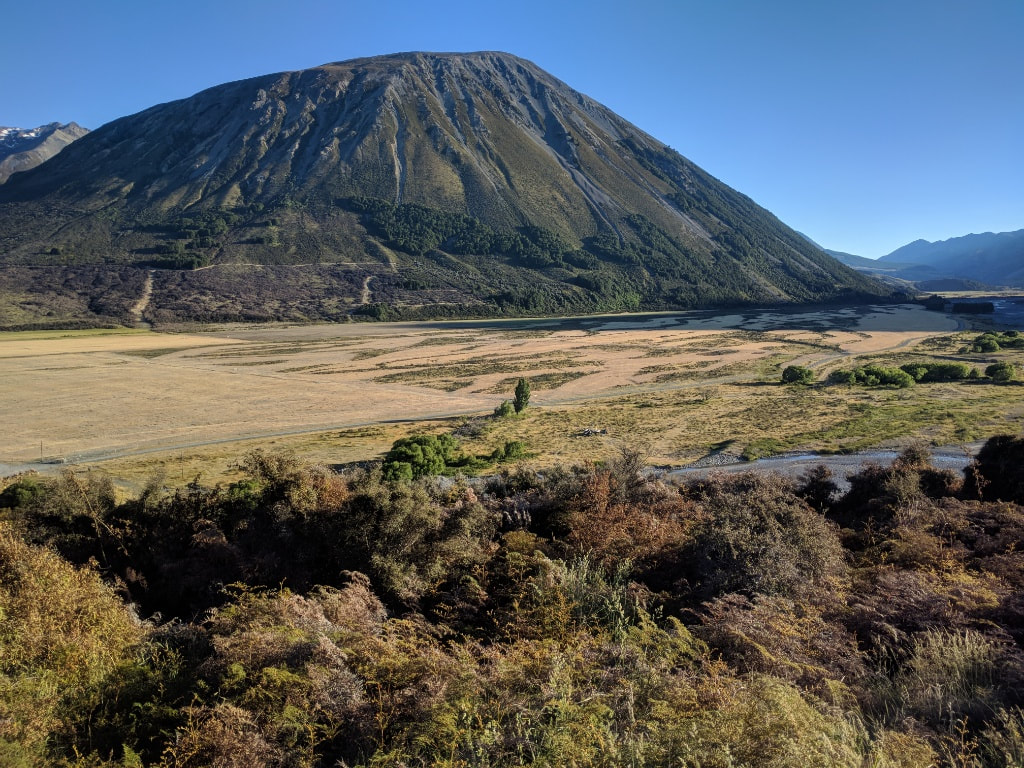
Left Manuka hut about 0700 and finally arrived at Mt Potts Lodge around 1630. We reached the trailhead at the carpark at Potts River bridge after 33.5km and about 8 hours of walking time. It was another 3.3km and 45 minutes walk off trail to get to the Lodge, by which time we were ready for a rest (as usual the last bit was again into a stiff headwind!). GPS tracking is here. The first 4km was a gentle walk to the Lake Emily carpark, including a small sidle around Emily Hill, and took us less than an hour. We passed George's and Jim's cars there (Blythe's father and brother) and then headed down a paper road through Castle Ridge Station until hitting the Hakatere-Heron road. We walked on the road for 4.5km before turning off into the Clearwater track which would take us a further 21km through to the Potts car park. Not much variety in the terrain today. Mostly scrubby tussock and reasonably flat to rolling in most places, with a couple of steeper drops along the way. It was very hot and cloudless for much of the day and we were grateful for the first watercourse we came across after 6km where we could wet our caps/scarf/buff to put on our heads in order to help keep temps down. There is simply no shade to be had on the whole track so rest stops were in the sun, and hopefully out of the wind! The wind picked up even more after midday and was a headwind for us so made things a little harder. As we neared the Potts River, the track, as per the notes, headed off through some rolling hills to avoid private land. We then headed west on bluffs well above the Potts before dropping down a steep slope onto the edge of the riverbed for the final km to the carpark and the end of the trail at the Rangitata. The final 3.3km or so was north across the bridge and up a gravel road into a strong headwind to the Lodge where we had decided to stop for the night in a comfortable room! Phil had been speaking with Wayne from Alps 2 Ocean about a possible ride around the Rangitata. The river had been up significantly (over 200 cumecs) due to rain but was dropping. Anyway, we decided we would take the ride rather than try and cross, and Phil and Viggo agreed - so Wayne will be here to pick us up about 0830 tomorrow. In summary, a long, hot, sunny, windy, flattish day :-)
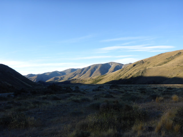
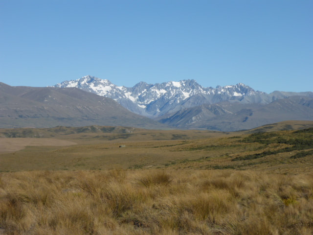
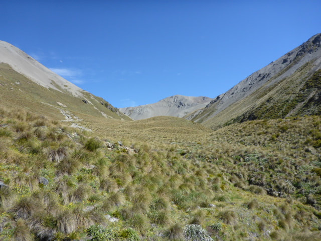
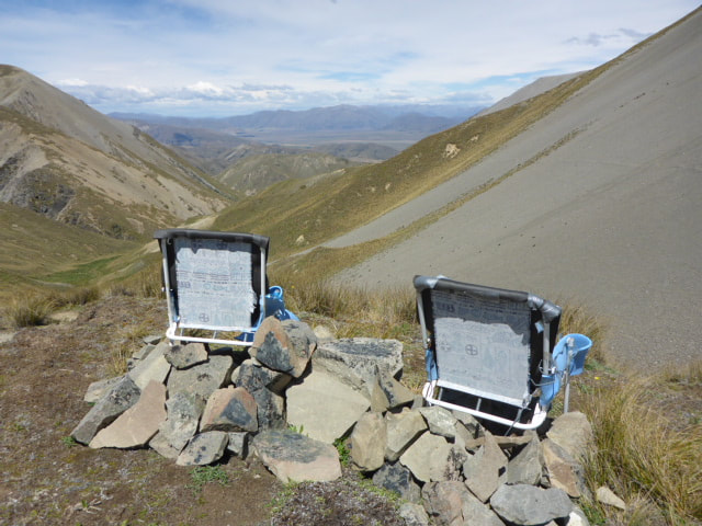
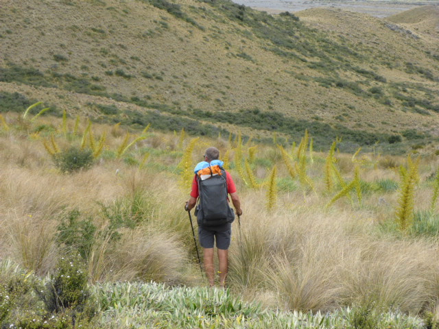
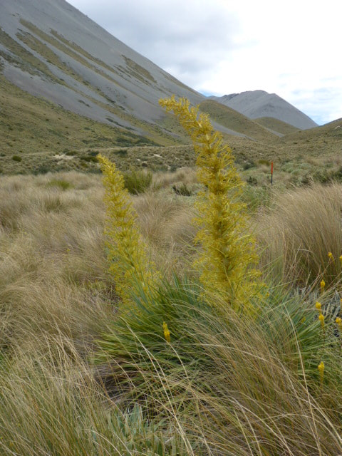
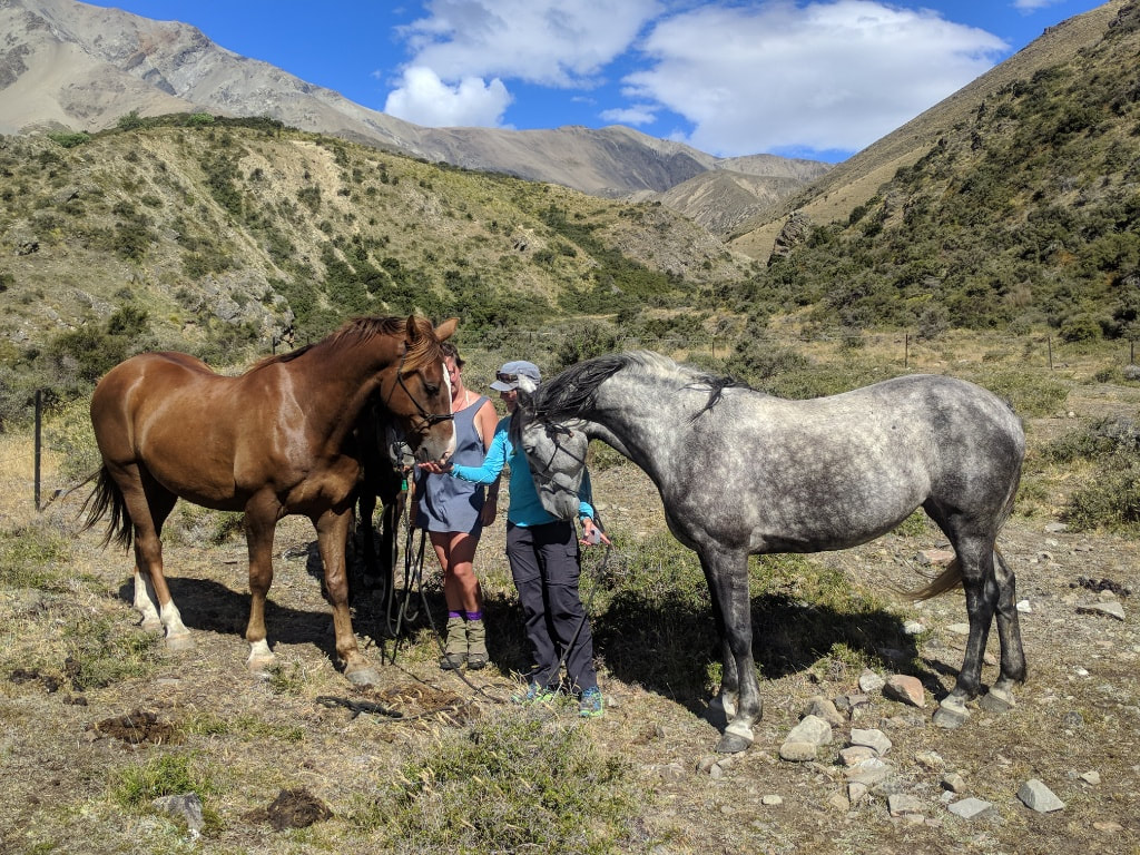
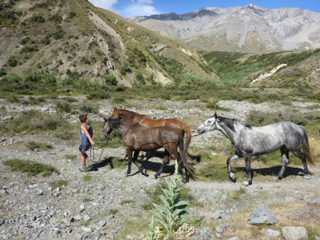
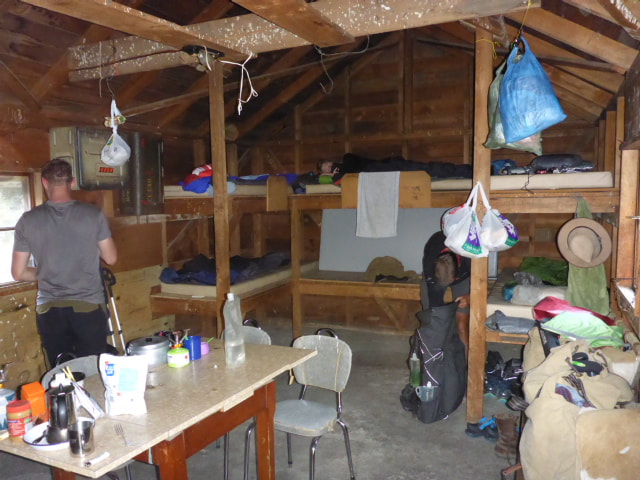
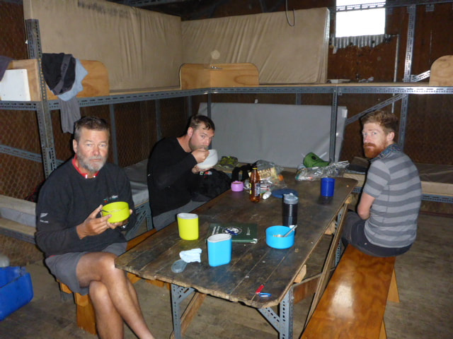
Set off at about 0750, about 15 minutes after Phil and Viggo, and arrived at Manuka Hut about 1610 after almost 23km. Had the GPS on pause for about the first 750m (25min) of the walk up Hakatere Stream after leaving the hut (still can't get it right)!! Of that, about 7.5hr was walking time. We ended up ascending over 900m in total and descending over 1000m so it was a solid day. Both our bodies were a bit niggly today so we were pretty happy with the progress in the end. GPS data is here. The first 7km was walking up first the North Branch Ashburton River, followed by Round Hill Creek. This was nominally 51 river crossings but the reality was we as spent a lot of time walking up the creeks also! There had been a reasonable bit of rain overnight and the creeks were flowing quite well so it wasn't a ”doddle” in that you had to think about many of the crossings - but nothing dangerous and nothing much over my knees. Then it was another 300m of climb over 2km, up to Clent Hills Saddle at almost 1500m asl. The weather was windy but fine so we had some stunning views. Someone had also put two chairs up there so we duly sat in them for a snack! Then it was into some scree sidles as we headed downward. Otherwise we were generally in tussock country, although also populated with matagauri and with spaniard, which is an incredibly nasty spiky plant which you should try and avoid at all costs (not always successfully in our case!). At one stage we came across a section where it was a (Hobson’s) choice between wading through matagauri or spaniard - no contest: matagauri was the winner! A brief video below from Clent Hills Saddle. Have reduced it to 4MB only, so apologies if it slows page loading a bit!! Finally we got down onto some flatter country for the last 6.5km to Manuka Hut. When we arrived we could see three horses in the yard next to the hut. We knew that Phil and Viggo were there ahead of us so thought it might be full (6 bunk hut). Turns out it was a young lady named Blythe who had just finished up working at Mesopotamia Station and was riding her horses back up through the country to her home in Hawkes Bay! (She has a Facebook page at: https://m.facebook.com/BlythesLife/?ref=bookmarks). Her father and brother had walked in to the hut to catch up with her. Belinda, of course, had a great time talking horses. Blythe carries everything with her, including shoeing gear etc. She even makes her own saddle bags for the horses - incredibly able and self-sufficient. This being New Zealand, it turns out I had met her dad and worked on funding for a research project with him back in one of my previous lives - it really is a small world! We offered Blythe a place for her and her horses if she gets near us on her way up the North Island.
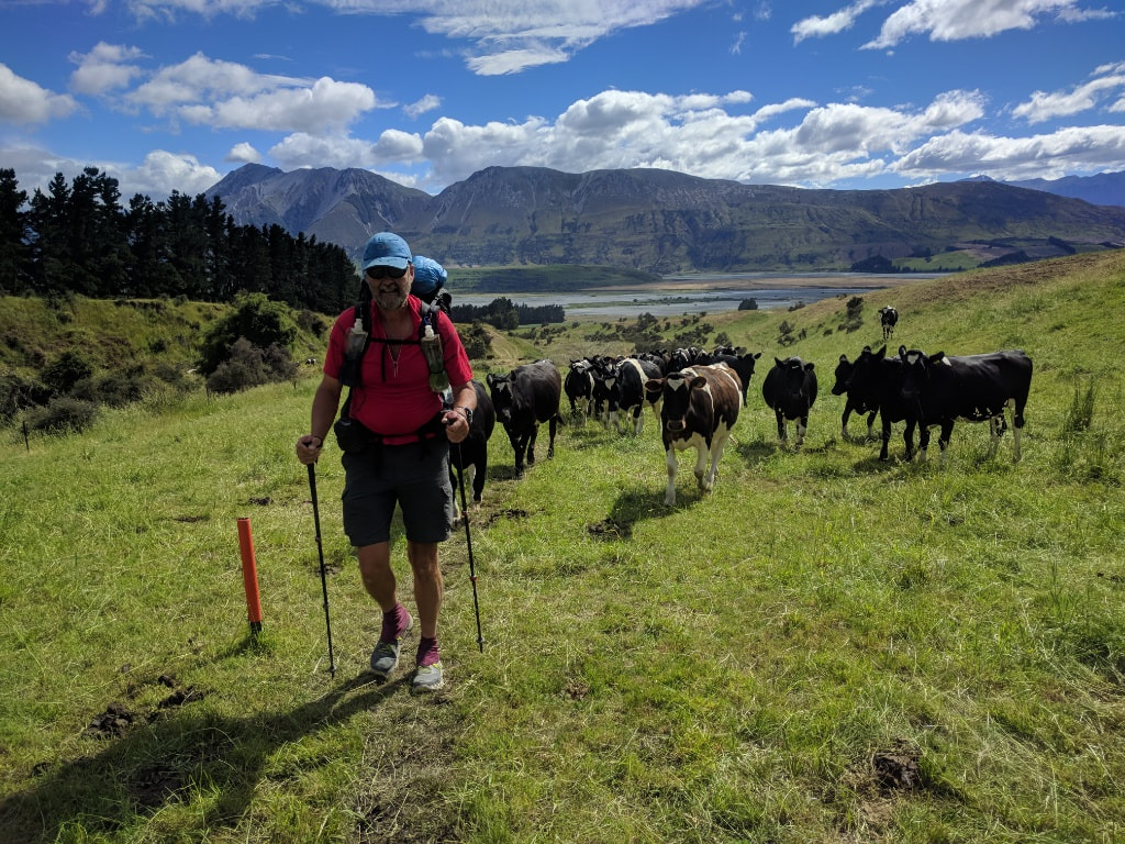
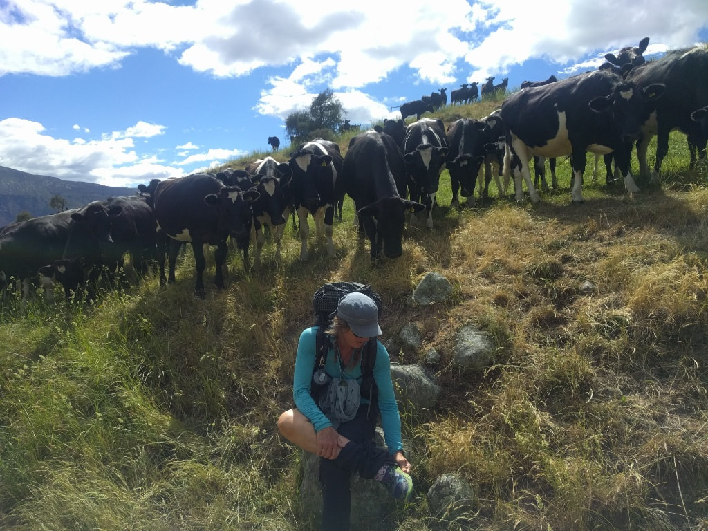
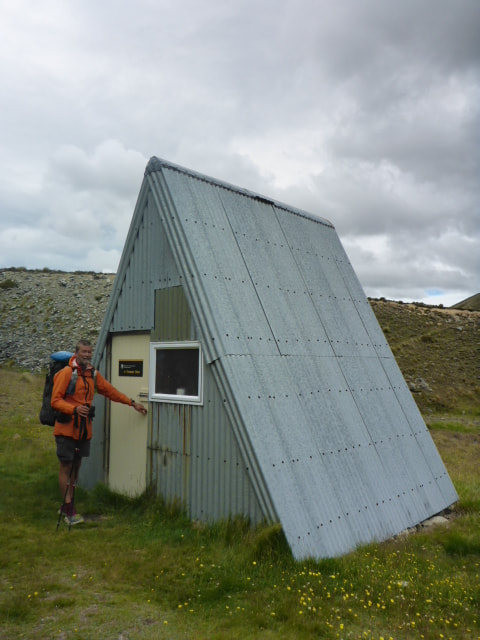
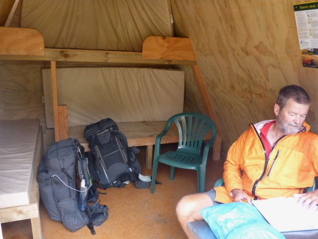
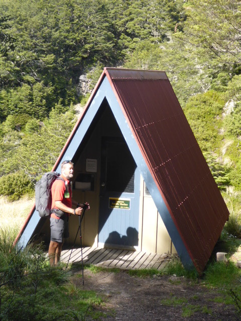
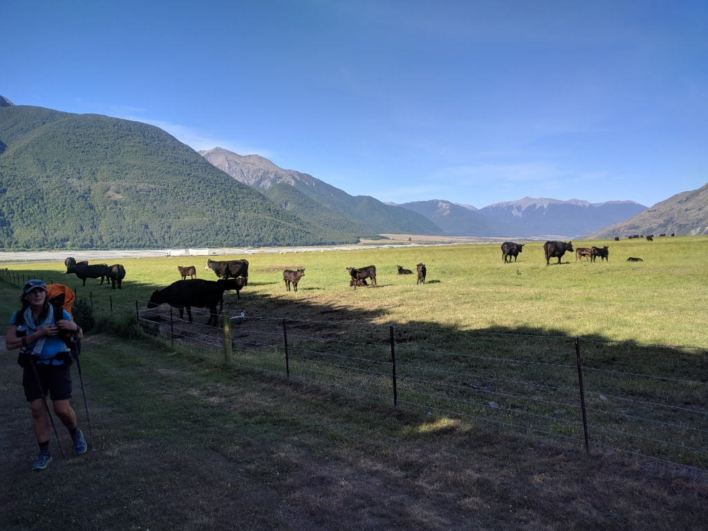
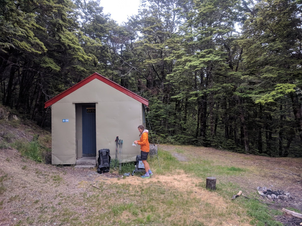
All three of the family ended up sleeping outside so it was the four of us in the hut - all in bed by about 2030! Decided we would only go to Comyns Hut today (17km from trailhead) so, after getting dropped off at the trailhead, we set off about 1000 and arrived after about 5 hours walking time, plus a few stops - a total of just over 17.5km! The GPS data for the day is here (the timing is a bit off as I think I again forgot to turn it off!): Went for a bit of a walk round the village before Jo from the Lodge set off with us in tow at around 0820 for the almost 90min trip around to the Glenrock trailhead on the other side of the Rakaia River. We had great stay at the Lodge with Kevin and Jo as hosts. As noted above, we set off about 1000 for what was a slow climb up through a variety of terrain. Initially we were up through some farmland where we came across some very inquisitive dairy heifers (see photos). Quite randomly, as we climbed, we passed through a stand of kowhai trees (referred to in the notes) - it's unclear to us why they are here, but a bit of a change from the usual suspects :-). One of the first things we struck once inside the conservation area was a zigzag track (switchback to those in the US) up a steep face to Turtons Saddle (1120m), which represented a 600m climb from the trailhead. Pretty much the first time we have not gone straight up a hill!! What is the TA coming to?! From there we meandered back down towards the cute little A-Frame Hut where we stopped for some lunch - there were even a couple of camp chairs in there too sit on! We had been following Phil (Aussie) and Viggo (Swedish) - both living in Copenhagen - in the hut books for the last few days, and saw they had been through here earlier today. From here we more or less followed Turtons Stream for a few kms (crossing several times) before a short stretch to Comyns Hut. When we got to the hut we had indeed caught up with Viggo and Phil as they had been in Methven for a day restocking while we had a supply drop at Lake Coleridge. Good guys, and we had a great evening getting acquainted :-) - part of the fun of the trail.
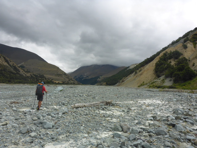
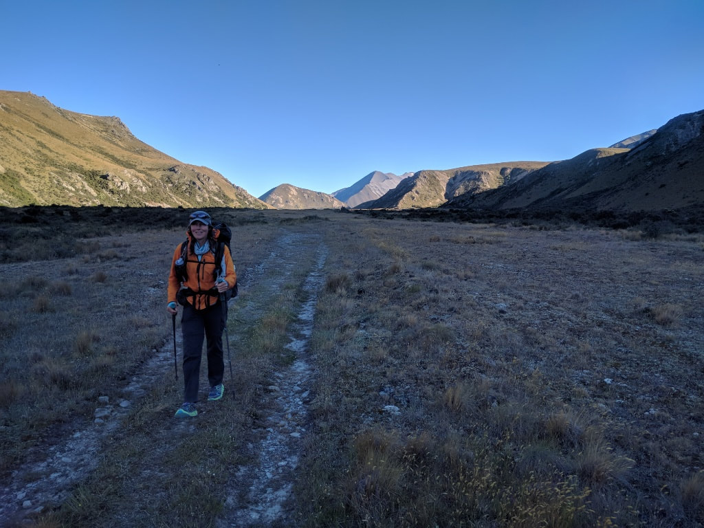
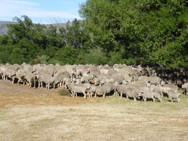
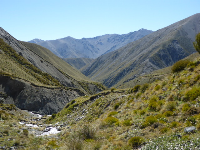
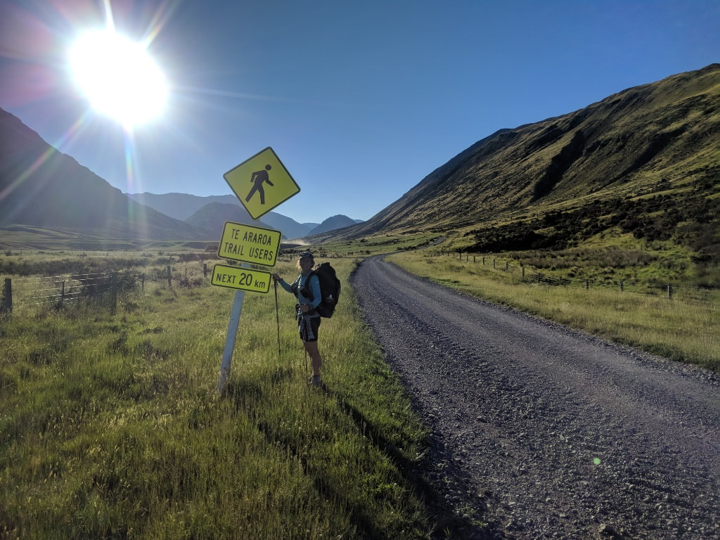
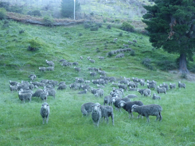
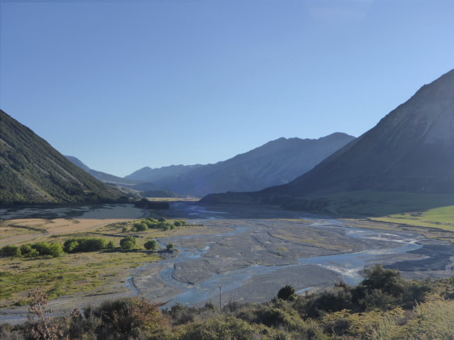
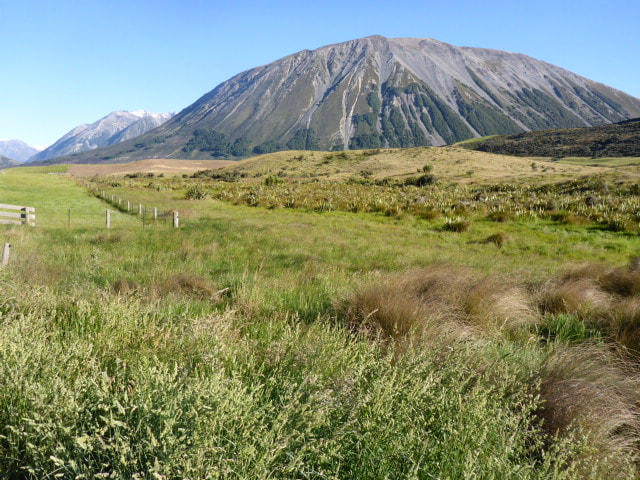
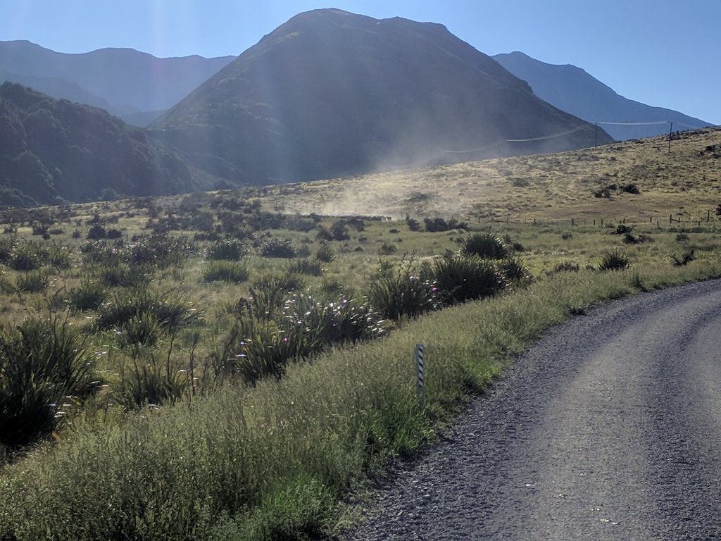
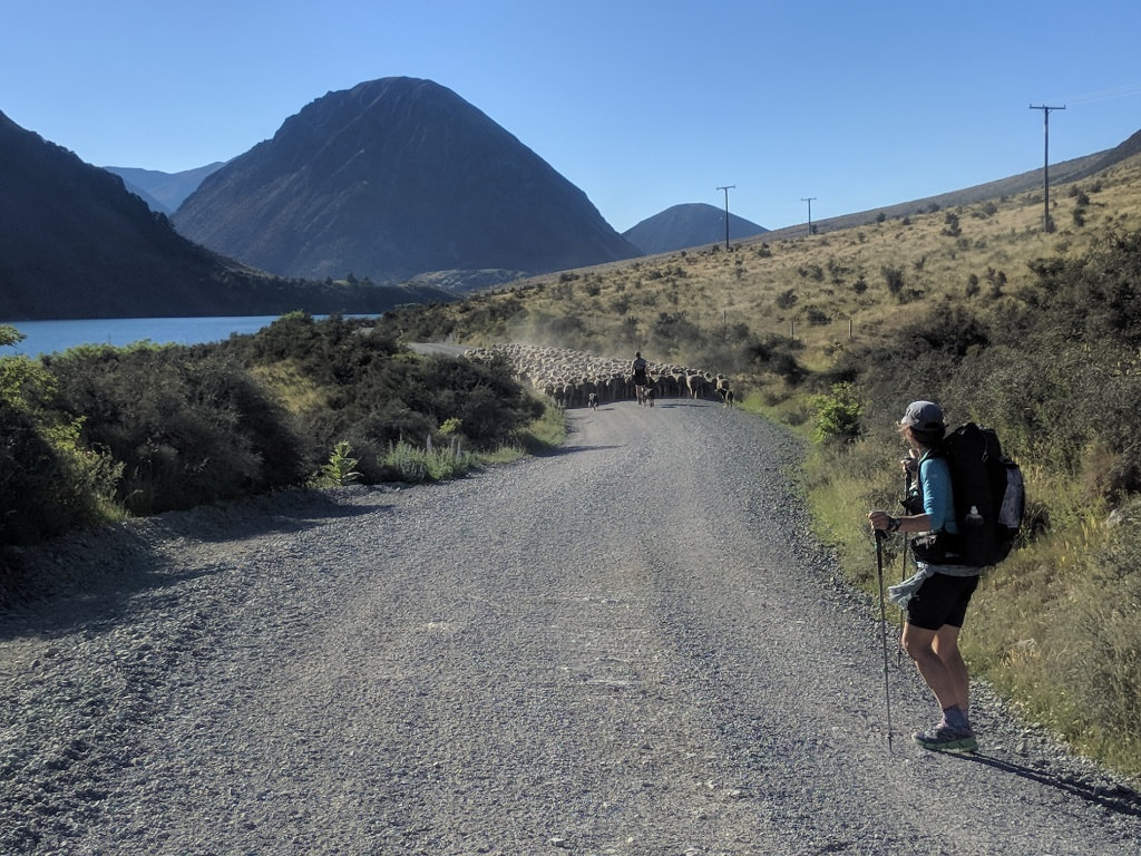
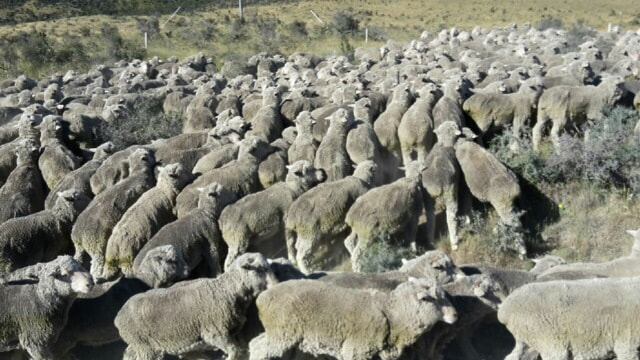
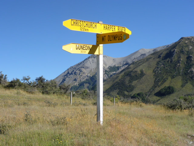
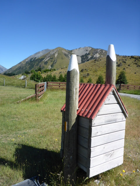
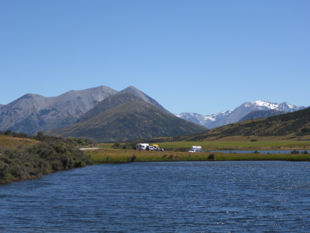
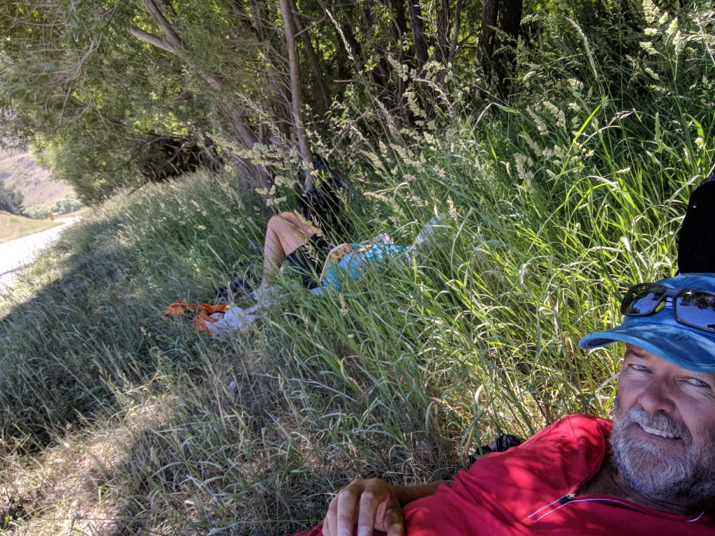
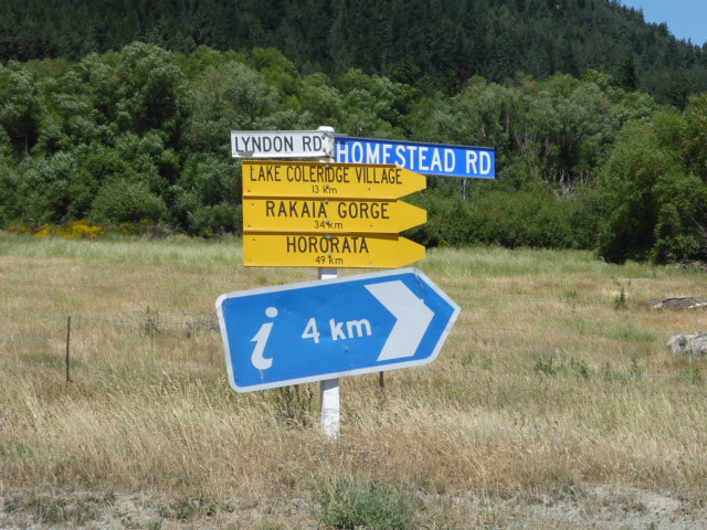
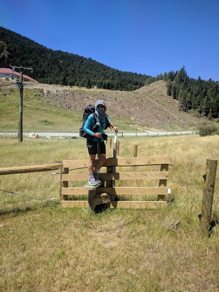
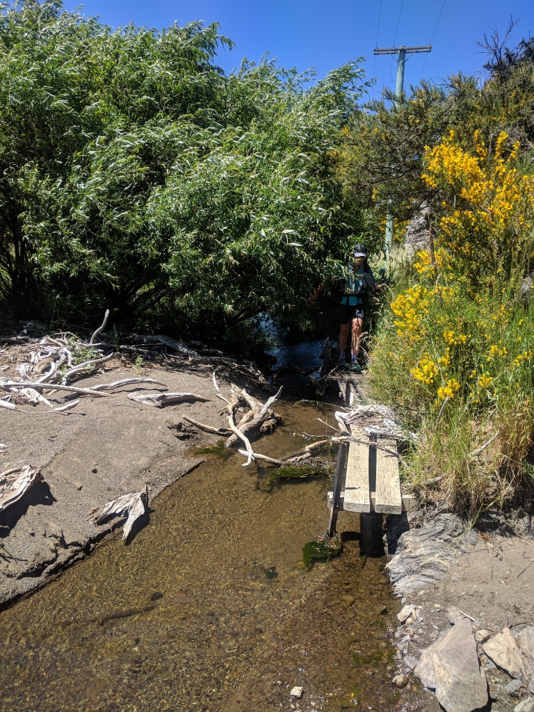
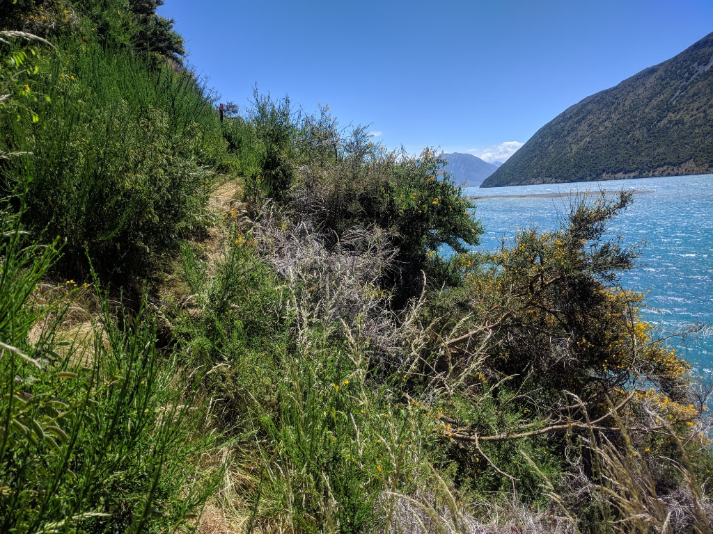
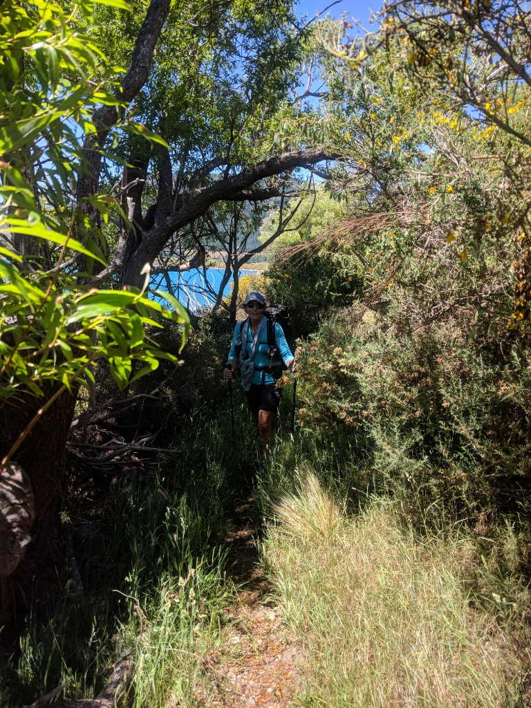
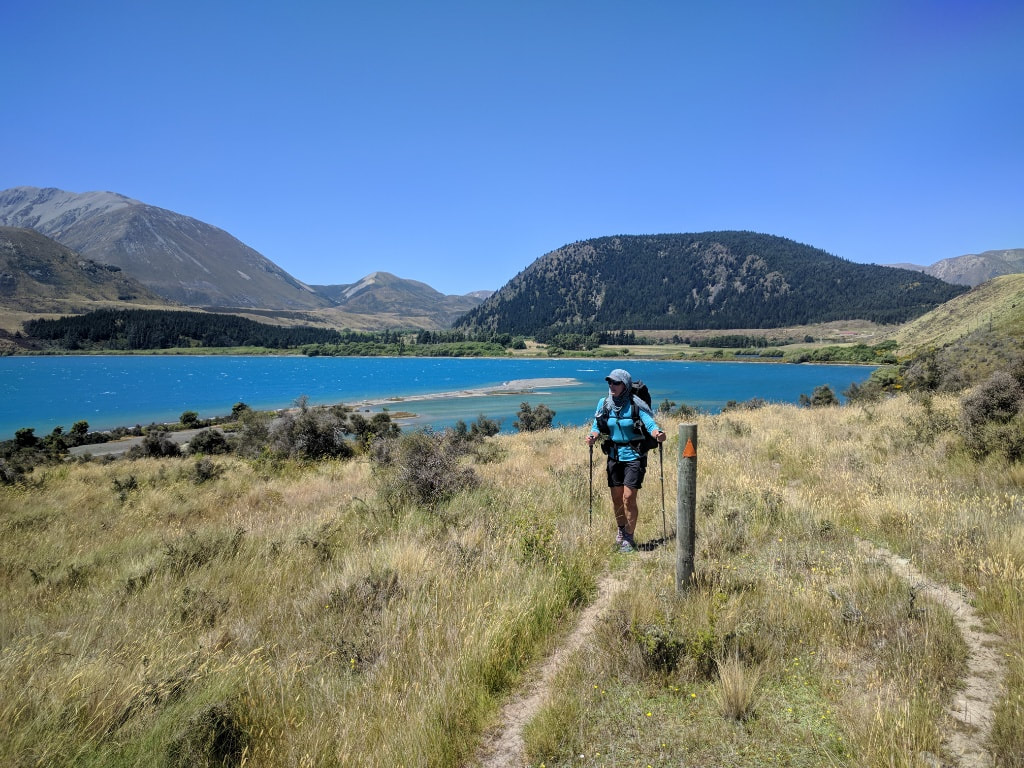
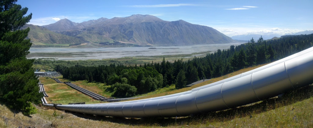
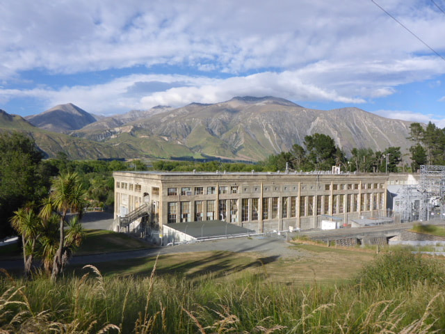
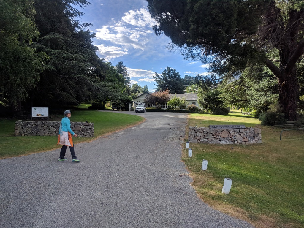
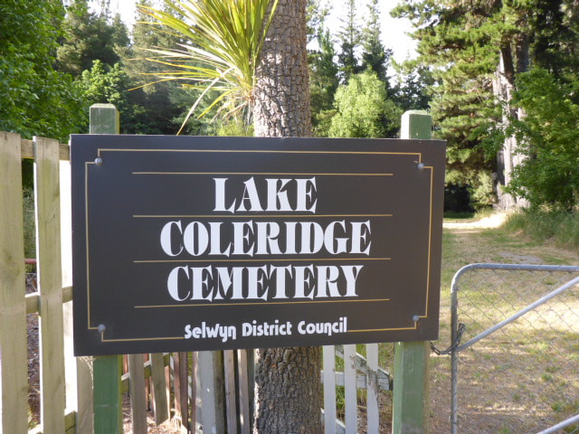
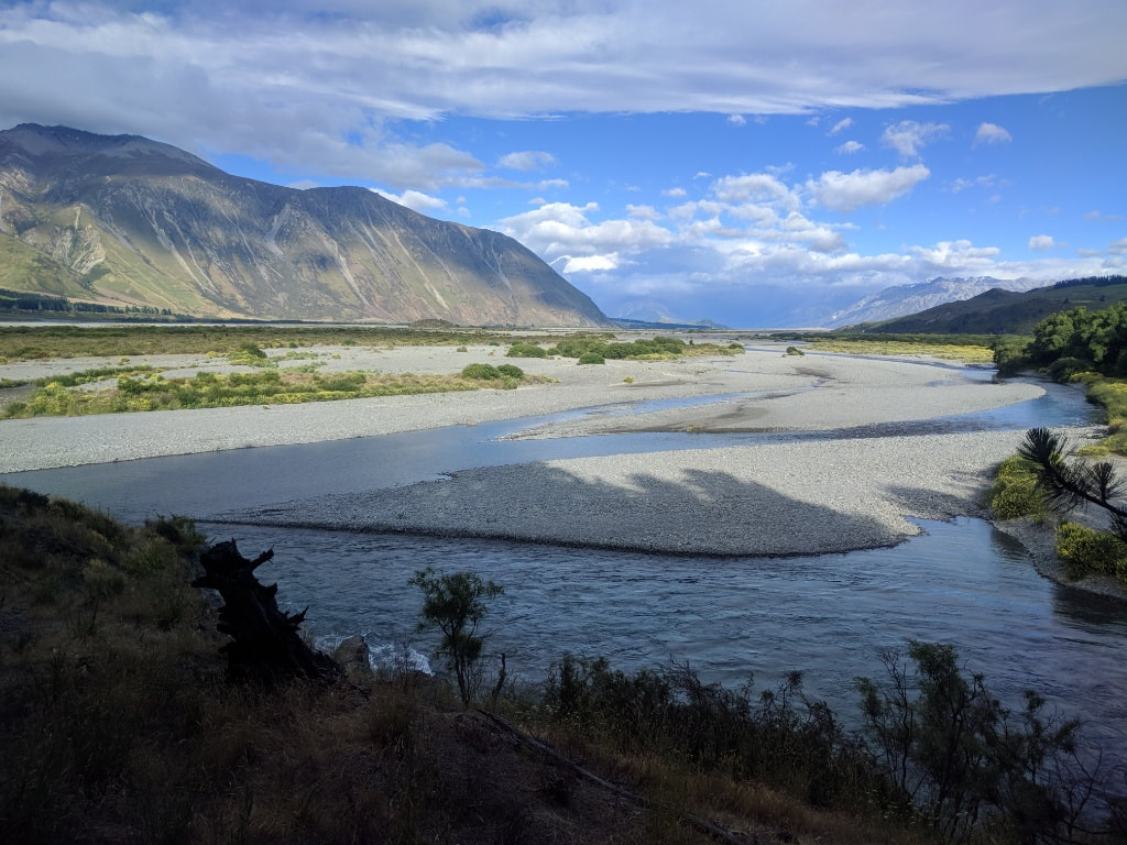
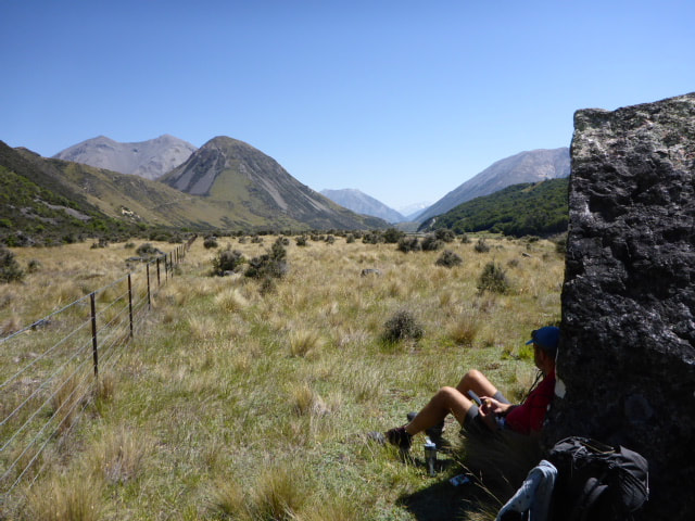
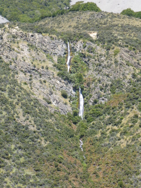
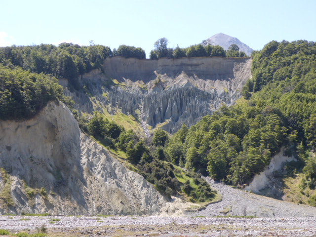
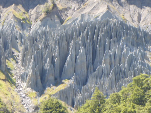
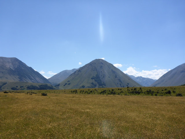
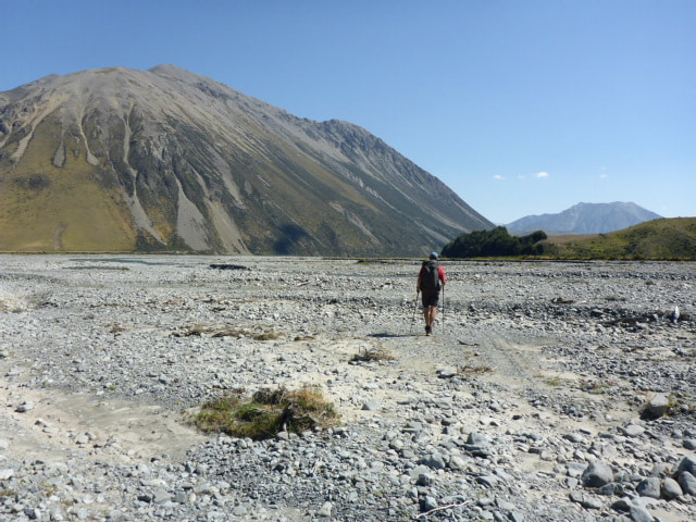
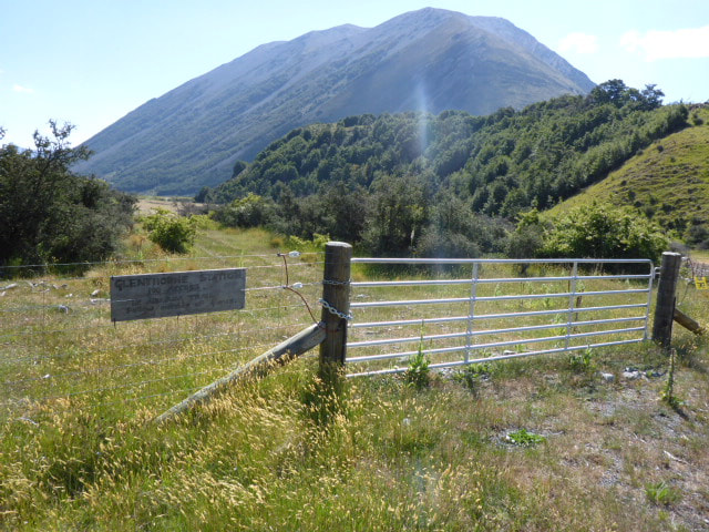
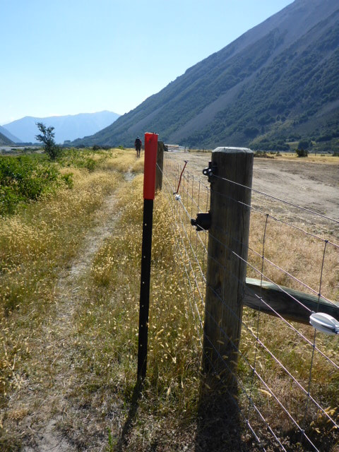
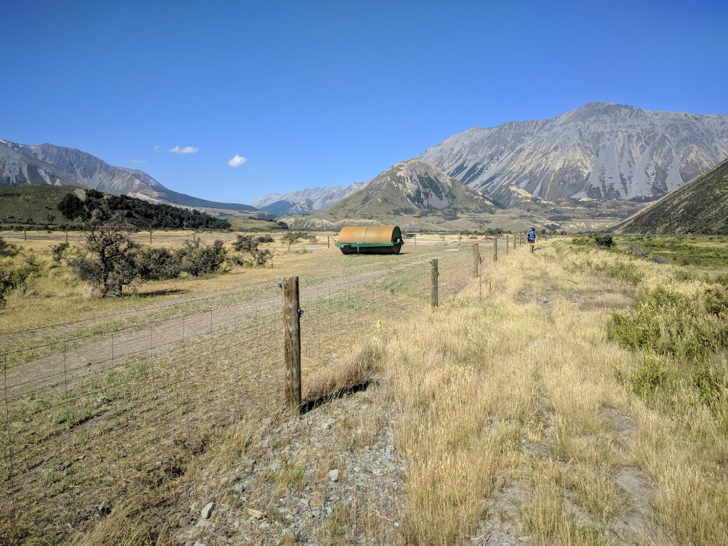
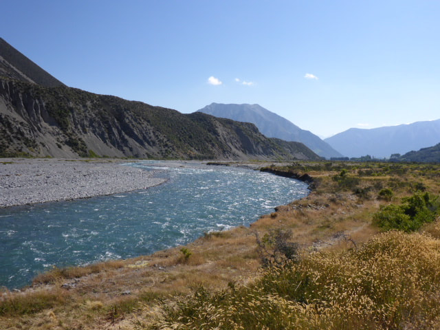
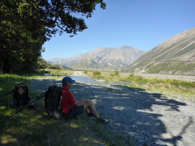
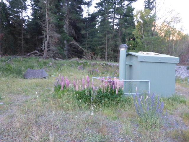
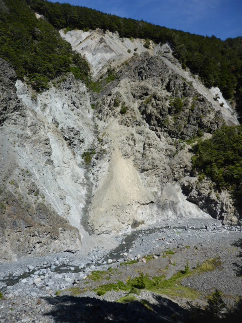
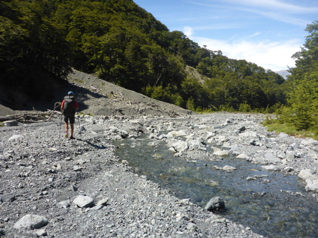
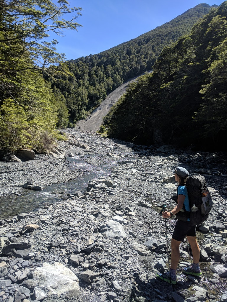
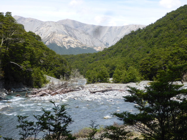
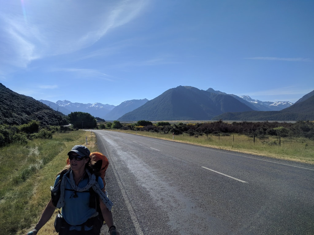
Woke up reasonably early this morning - it had been windy all night but, as noted earlier, we were in a pretty good spot. We got underway just before 0700 and ended up doing just over 30km today in about 8.5hr walking time. GPS track for the day is here. The first 22 km of today was on gravel road so not much change in the walking surface, although we did try and get off onto grassy patches beside the road where possible. We also came up behind a mob of several hundred merinos being driven along the road by a shepherd from Glenthorne Station. We had a brief chat but a truck came up behind soon after and we took the opportunity to go past the mob behind the truck. The rugged scenery helps ease the pain of the road walking, as did wandering past Lakes Selfe, Evelyn and Georgina. Apart from a couple of breaks in the shade (temp in the mid to late 20s) we stopped to chat to a retired couple at Lake Georgina for a bit (he was fishing for trout). Other than that it was basically a 22km road slog with nice scenery!! We broke for lunch just before we got off Harper Road - nice spot beside the road in the shade of some willow trees. We then progressed onto Homestead Rd for a short walk to a stile that took us initially onto farmland (Lkae Hill Track) before leading us to a lake-edge track that was a little dodgy in places ! :-) A brief climb up and over to avoid a bluff was followed by a little more up and down farm walking (having to follow poles close to a track but not being allowed on the track because the poles followed a legal public right of way was a bit frustrating at times, but such is life). We eventually got onto Coleridge Intake Rd to take us towards the village. We then followed Coleridge Intake Rd for a bit until branching off into an arboretum, primarily conifers, planted by a previous superintendent of the power station, from the 1930s onward, from memory. This took us downhill towards the power station and village. Included in this was a short section alongside the penstocks which feed the water from Lake Coleridge to the station. We emerged from the arboretum and walked a short distance down the road to Lake Coleridge Lodge where we were the only guests for the night. Just as we reached the Lodge we had a brief chat with a young kiwi, Rory, who was heading northbound. Met our host, Kevin, who showed us to our nice little room. We partook of some cold drinks from the fridge - later followed, in my case, by a nice cold beer! It was a very pleasant place to put our feet up for the night. We had also sent a food parcel here so Kevin retrieved that for us so we could organise the next stage of our trip. Didn't get out of sleeping bags until 0700 as we were planning a late start so as not to arrive at Harper campsite too early (might as well spend our spare time in a nice hut rather than the tent). Was around 14deg so not a very cold night. Large sandflies still in abundance at that temperature however! Lounged around the hut for the morning - which felt a bit strange - and had lunch at about 1200. Finally got underway just before 1300. Walked for about 20km today in 5 hours of walking - the days GPS track is here. Today was basically walking down the Harper River valley. It was a bit reminiscent of walking down the Waiau in April. We followed an old 4wd track for most of the day, sometimes on stones and sometimes on grassy riverbed. We crossed the Harper a number of times in the way down - hopefully the photos do some justice to the striking scenery. The first half of the walk we had a tailwind but by the time we reached a feature known as The Pinnacles this had turned into a solid headwind which stayed with us for the rest of the walk. All the while it was hot and sunny and, for the most part, very little shade to be had. As we got further down the valley we crossed the Avoca River as planned (no big deal) but got a bit confused between the 4wd track and orange markers, and the TA GPS track we have loaded on the ViewRanger app! Appears to us the GPS track is screwy. Anyway, we followed the 4wd tracks and orange markers, eventually heading along some new fencing put up by Glenthorne Station. About 3.5km from Harper Village we seemed to miss a track and ended up walking for a couple of km on a farm track. When we climbed the gate at the end onto Harper Road, the signs were pointing down to the river which is where we were supposed to have been, parallel to the track we walked on. Still have no idea where we missed the signage - such is life. From there it was only a couple more km to the Trustpower-owned camp spot in the village where we arrived about 1830. Nice new toilet installed as well. Pitched the tent on rocky ground ok - not far from the toilet, but it was the best place to escape the worst of the incessant wind, although the noise of the wind in the trees was also constant :-) .
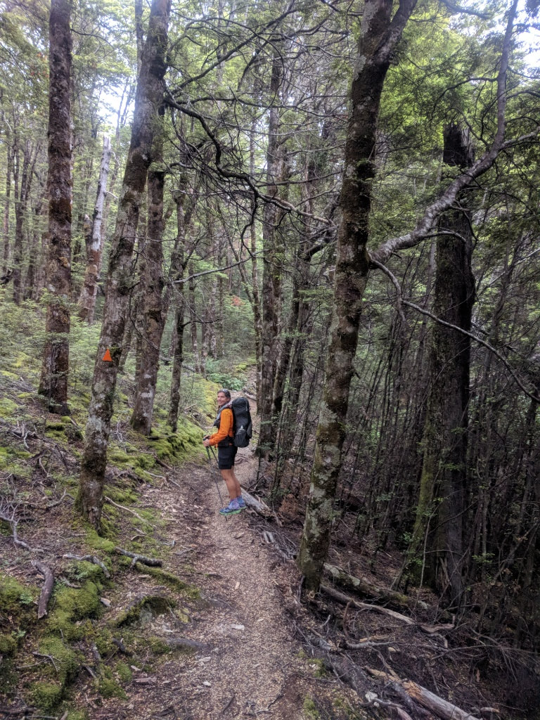
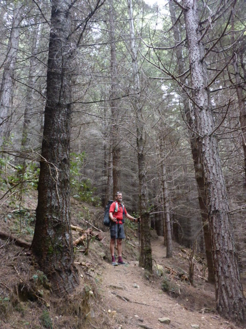
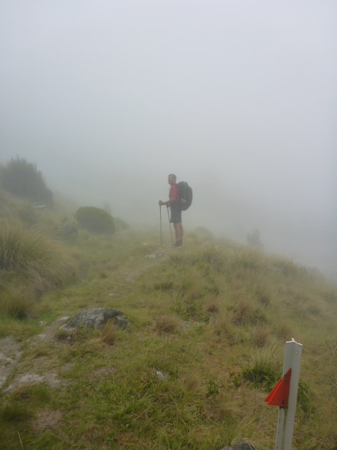
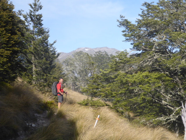
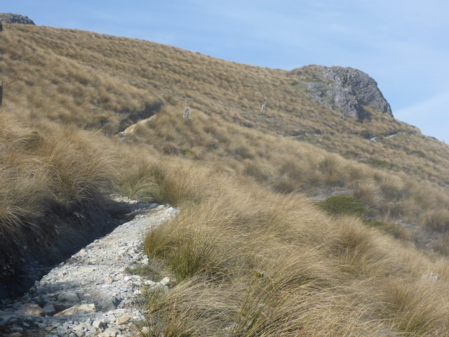
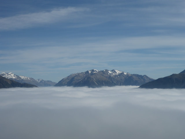
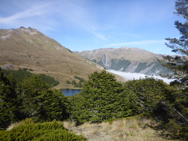
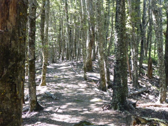
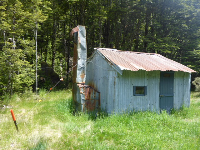
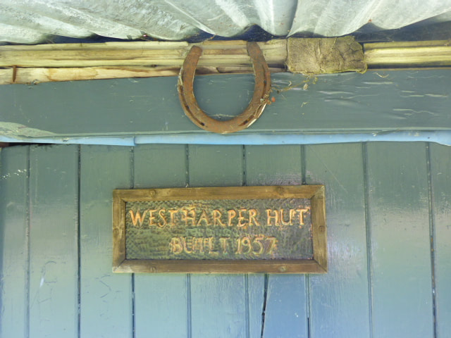
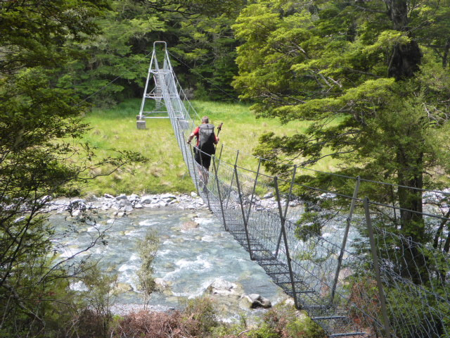
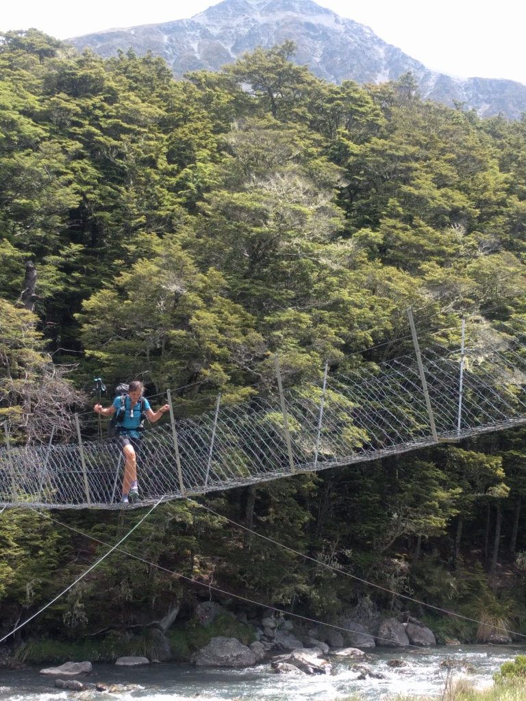
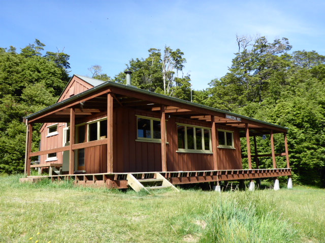
Set of at 0645 and started climbing toward Mt Bruce. Ended up getting to Hamilton Hut around 1500 (again forgetting to turn the GPS tracking off for half an hour!). We covered around 17km and tried to take it fairly easy, walking for 7 hours out of the 8.25 hours. That is about the suggested time of 7 to 8 hours so we did pretty well for our first day back on the job - including around 850m of ascent and 750m descent! GPS track for the day is here. We started off through beech forest but it was still quite misty so we weren't seeing too much, although it was helping keep the temp down which was good! It was due to be 32deg in Chch today and the Suunto said it was 30deg in the shade when we stopped for lunch at West Harper Hut and still 30 at Hamilton Hut at 1530! After climbing through beech and some Douglas fir we broke out into tussock (bits were swampy) on the face of Mt Bruce. We continued around the face but the mist was still reasonably dense. As we got a little higher toward Lagoon Saddle the mist around us cleared a little. We could see the hills, but the Waimakariri River valley and up towards Arthur's Pass was completely shrouded still, as the photos show. Over the saddle it was down towards the Harper River through more mainly beech forest. We had expected to be in the riverbed for much of the rest of the day but in fact we ended up walking mainly up, down and along beside the river! Just as we broke out into the river flat we stopped for a break and met a Finnish couple who were NOBO - so had a pleasant chat with them. Carried on down the river, stopping for lunch at West Harper Hut for 30 minutes or so before tackling the last stretch to Hamilton Hut. Again there were quite a few little ups and downs through forest alongside the river before we crossed the Harper on a swingbridge not far from Hamilton Creek. The is a nice new swingbridge across the Hamilton Creek although B topped up her water and crossed the creek instead :-) Just across the creek we ran into a pleasant English guy named Pete who was heading south to Harper Village. As it was a short run (18km) he had stayed at Hamilton Hut until 1430 so he didn't get to Harper Village too early (avoid sandflies as he is sleeping under a fly!).
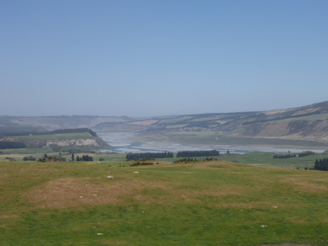
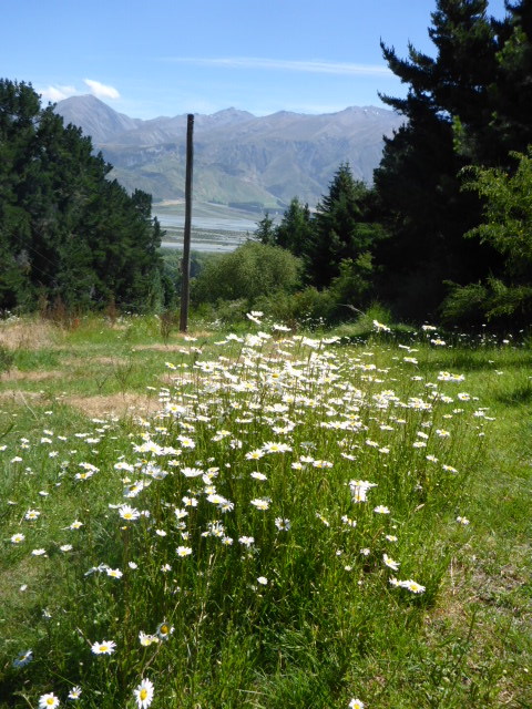
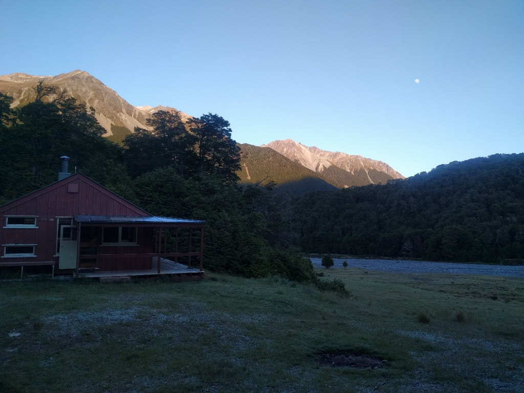
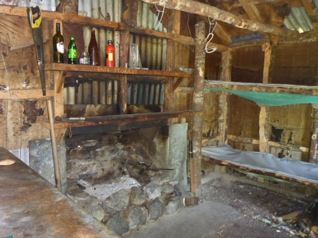
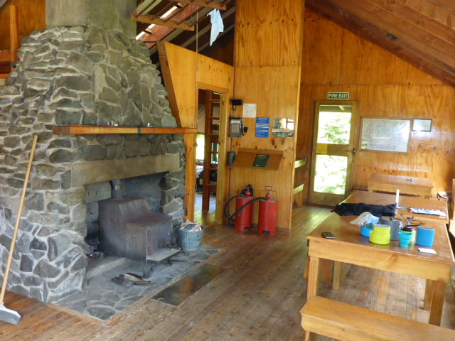
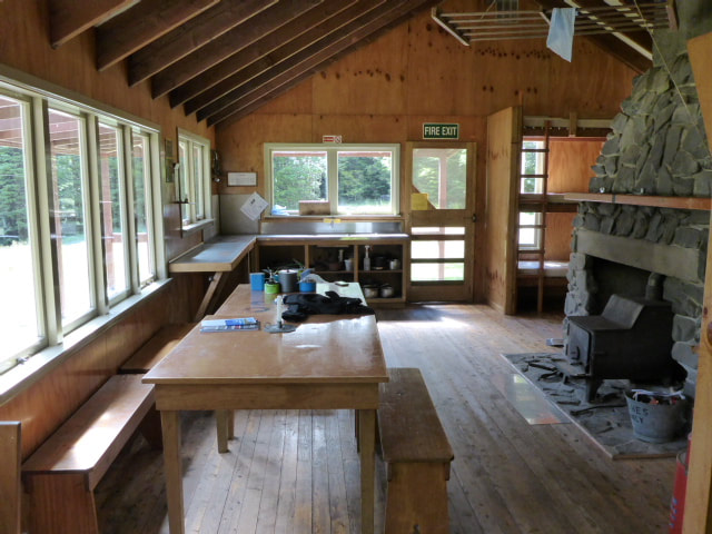
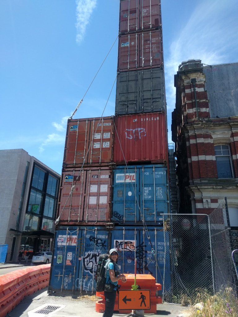
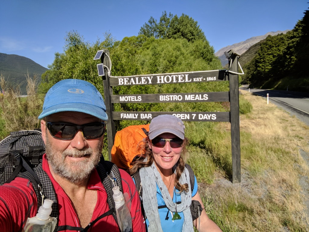
We wandered upstream for 5min or so to the hut (known in some circles as the Hamilton Hilton!) - a lovely 20 bunk hut with a grand stone fireplace as it's centrepiece! Not long after we arrived, a DoC ranger arrived in on a circuit checking tracks, huts and facilities. He was our only company for the night! Its 0530 on Tuesday 5th Dec and we have been up for a couple of hours preparing (last minute rush) for the trip into Wellington airport. Its been a hectic last few days - especially organising the farm and home for an expected 5 weeks plus away. But we are almost there!! We have a flight to Chch from Wellington this morning and then pick up West Coast Shuttles from town (after stocking up on gas and emergency lighter!). This should drop us off at the Bealey Hotel around 1700 (this is where we finished the last section of our trip back in April). From here it will be a relatively short walk down the road to Bealey Spur and then up into the hills to the Bealey Hut where we plan to spend our first night. So .... the journey continues and we are hoping that the bodies will bear up to the strain so we can finish off the South Island in this hit - then it will be back home and hopefully straight into the Tararua section, which will represent the very last stage of our 3000+km walk from Cape Reinga to Bluff!! I'll be, as usual, trying to keep the blog up as cell coverage allows :-) It's Friday 8th and we are at Lake Coleridge just for the night before being out of reception for another 6 days or so. Had hoped to update the blog but with limited time I have been unable to get the camera to connect to the phone to transfer photos. I then thought I could use the photos I have taken on my phone and at least do an abbreviated one - then the bloody blogging software hung while trying to add an image to the blog. So I have officially given up for now - until I can get back to some reception and try and sort it out. Sorry :-( We are currently at Mt Potts Lodge by the Rangitata for a short while and I have managed to add some photos below. Not sure when next days will follow!
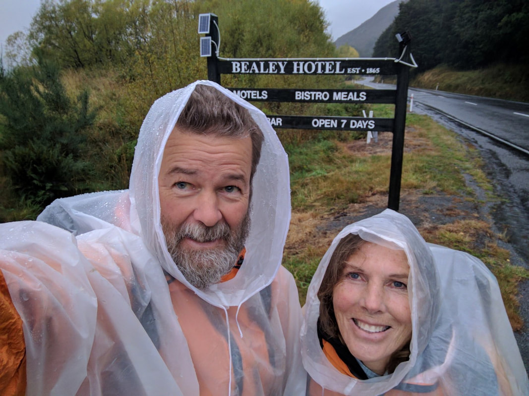
We were dropped off at the Bealey Hotel about 1700 and only had a 3km or so walk back down the highway, followed by a 1.5km walk up into the hills to get to Bealey Hut for our first night back on the trail - so not much to report! |
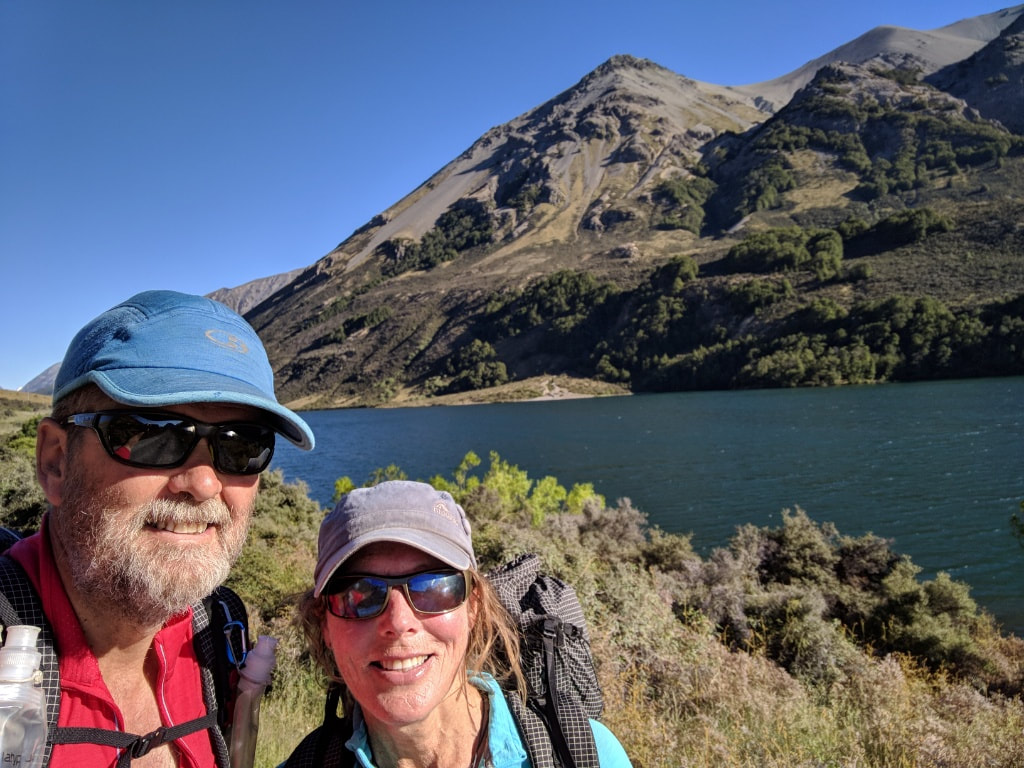
AuthorBelinda and Anthony (aka Tony) Hadfield made a decision, in their late 50's, to do something a "bit different" and walk New Zealand's 3000km Te Araroa Trail over summer 2015/16 - although updates will now tell you that this plan will take longer now!!. As the old saying goes - "don't leave home 'til you've seen the country"!! Archives
January 2018
Categories |

 RSS Feed