|
Had a slight sleep in this morning but still managed to pack up and get away at 0730. Today we aimed to walk down to SH94 and then along to Princhester Rd intersection (around 12km of flat road walking) before starting the hitch, off-trail, into Te Anau. It was around 10.5km to SH94 which we covered in a whisker over 2 hours, passing relatively few cars in the way. We started walking along SH94 to our TA turnoff at Princhester Rd, so we're walking against the traffic as usual so no-one would think we were hitchhiking. However, before we could get to Princhester Rd a couple of girls (English and Israeli) stopped on the other side of the road to ask if we wanted a lift into Te Anau. I suggested to Belinda that we shouldn't be looking any gift horses in the mouth, so we accepted!! So our almost 12km today took us about 2h10, classified as a ”nearo” day (for those unfamiliar, nearo is short for “near zero” - almost a rest day but not quite). :-) 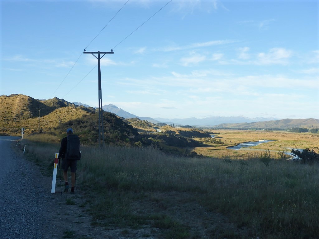 Setting off - campsite was just below us to the right. 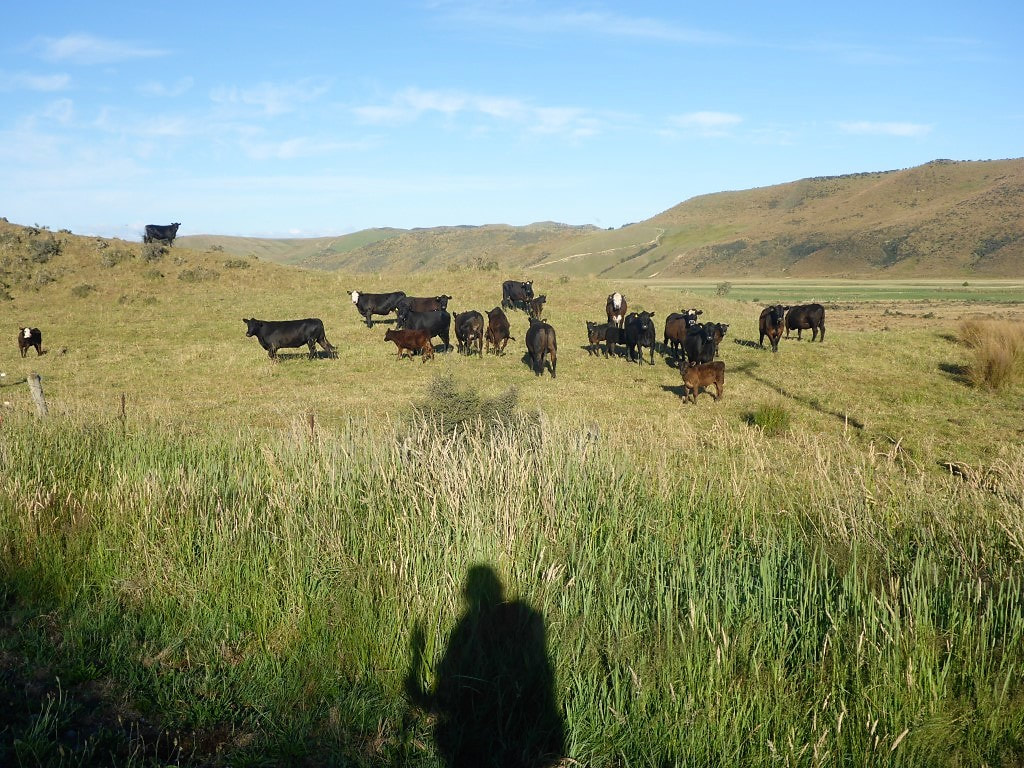 Cattle inquisitive as always. 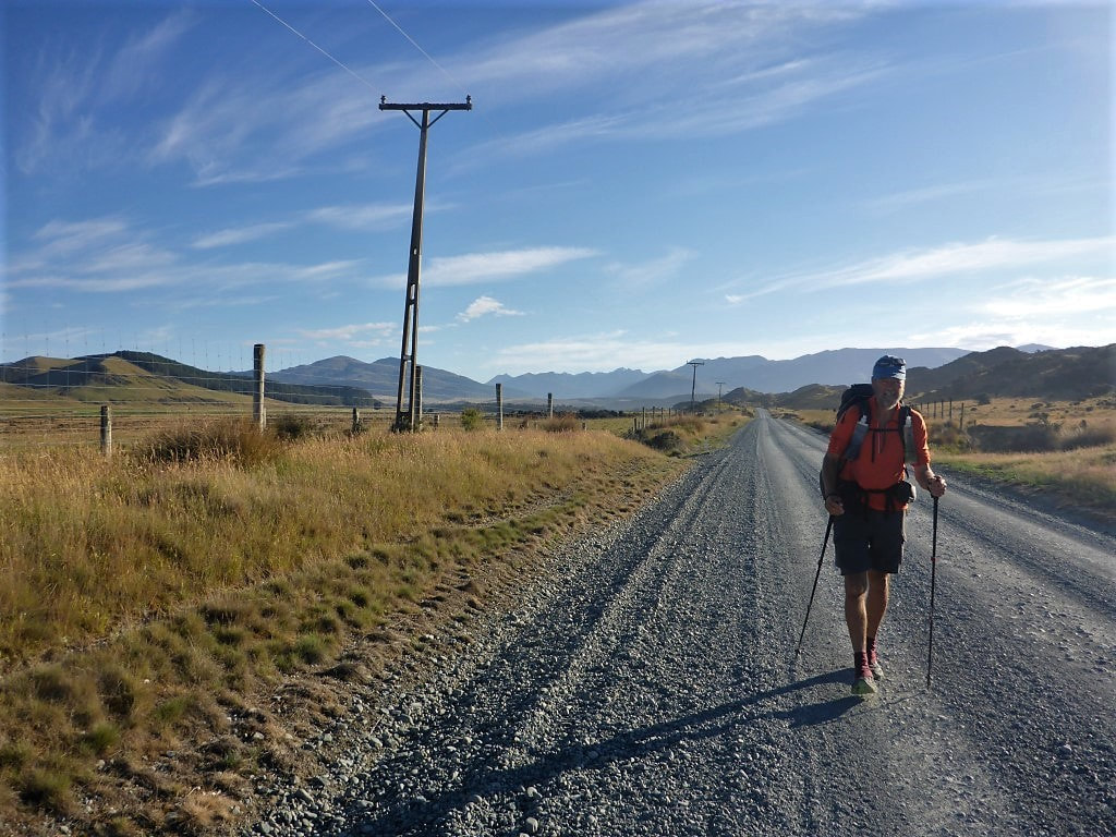 More gravel road walking - a fair few straight bits that seem to never end! 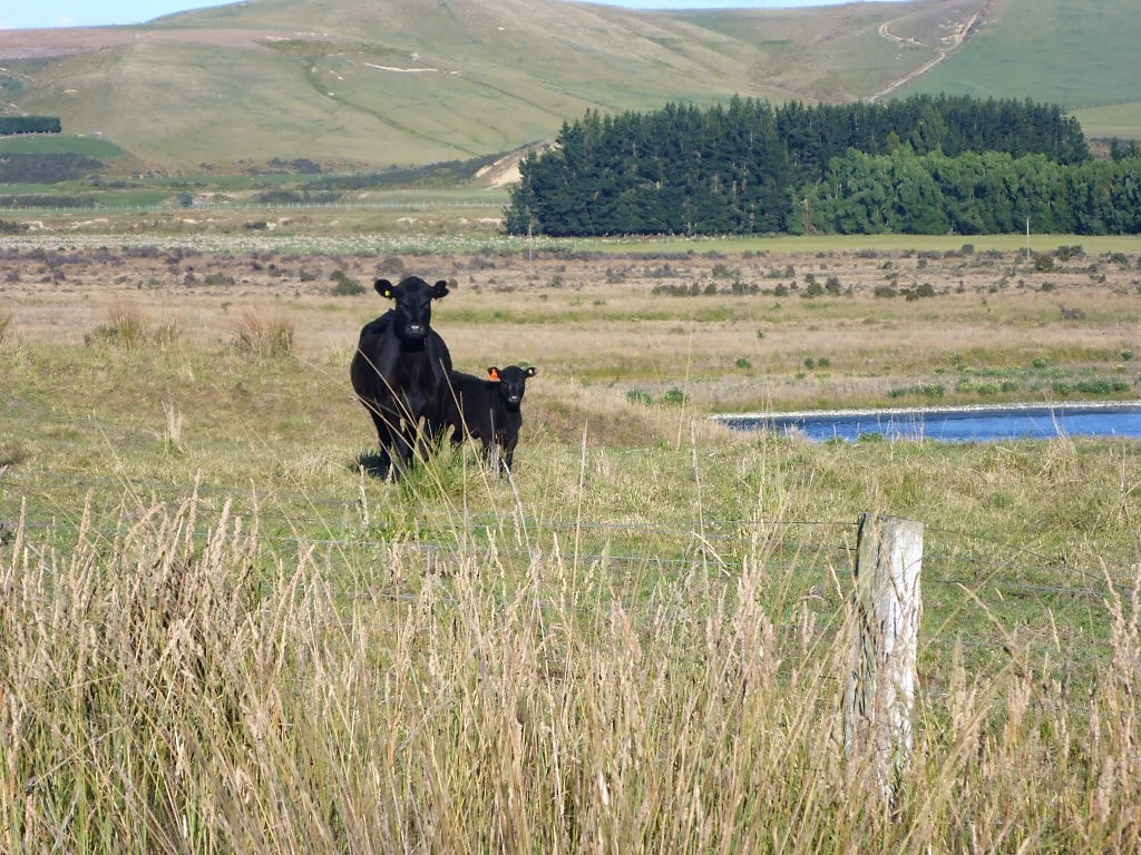 Ears pricked :-) 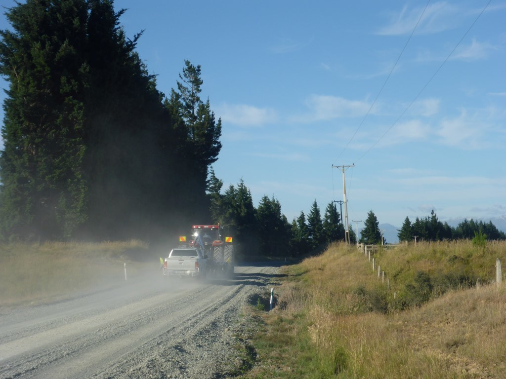 Not much traffic on this bit of road. Local contractor at 0810. 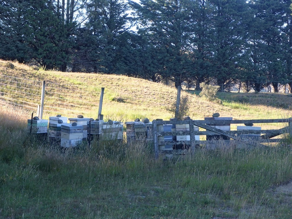 Insects as well as animals. Beehives crop up everywhere nowadays. 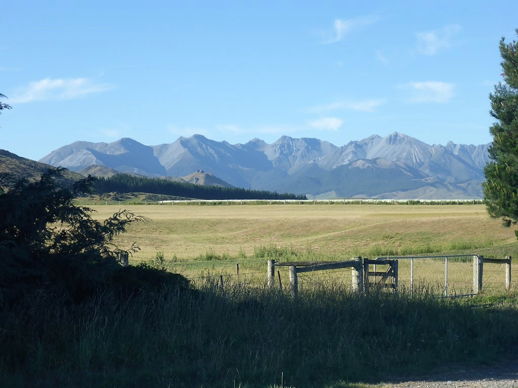 Not far from higher country still. As the crow flies, it is only 25kms to Te Anau and 85km to the Fiordland coast. 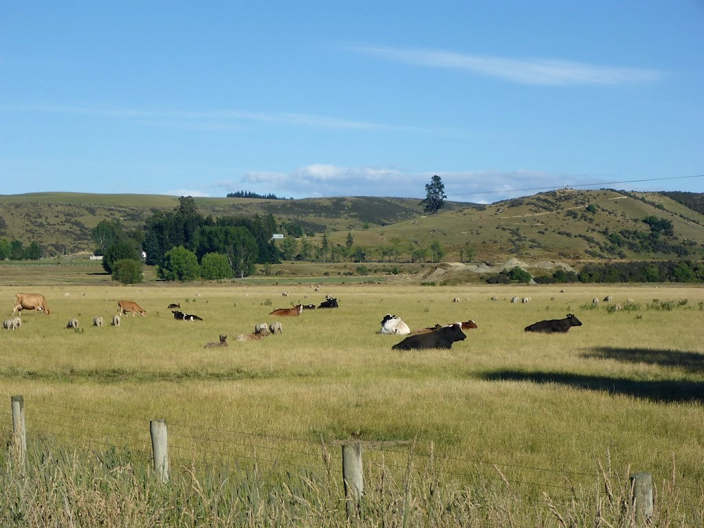 This was the mottliest collection of cattle I think we have ever seen - all sorts!! 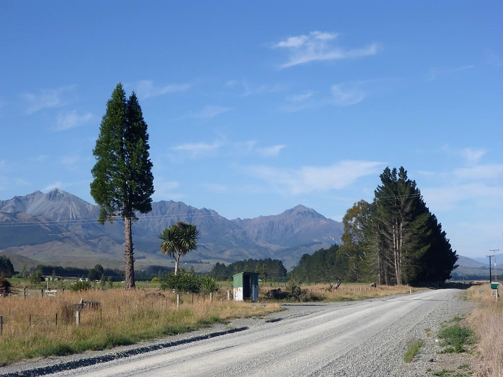 Shelter for kids to wait for the school bus maybe? 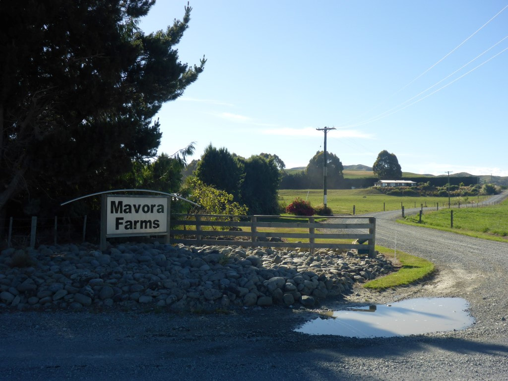 Nice entrance to a dairy operation - the dairy expansion is everywhere. 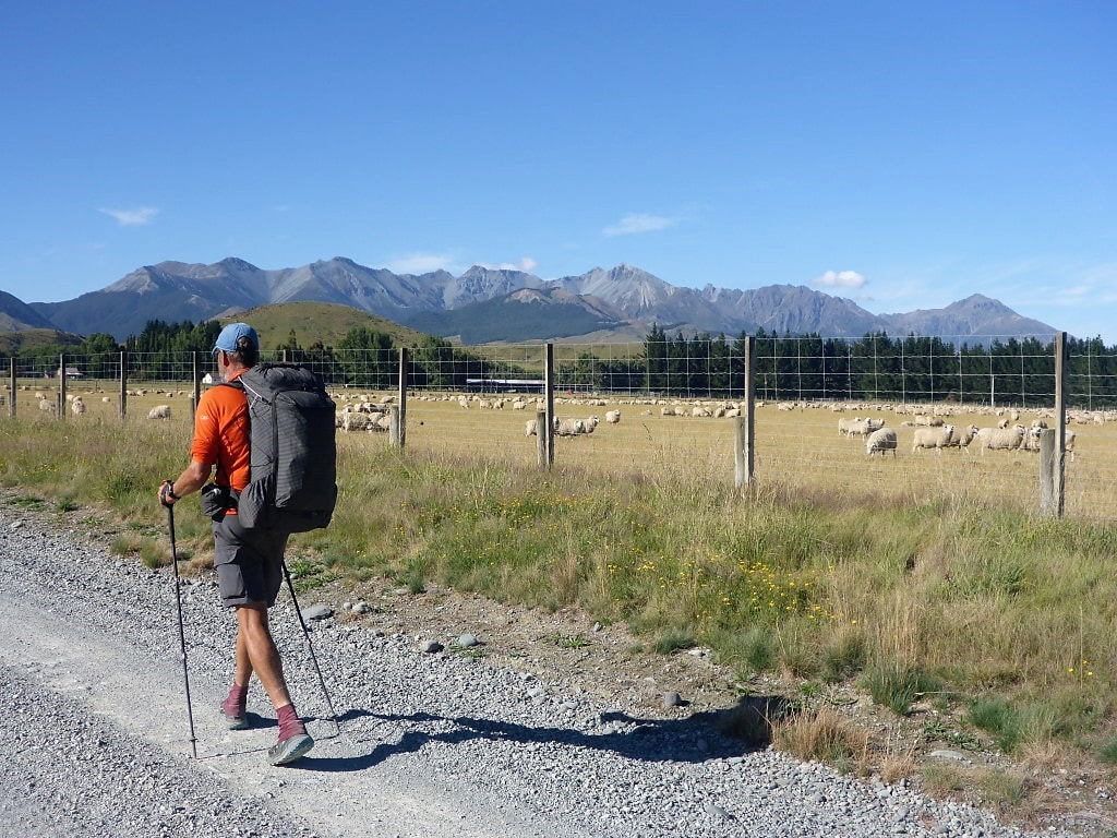 Still plenty of non-dairy farming going on though.  Another farm entrance - this one on SH94. So a quick 30km or so later they dropped us off, at about 1030, by the Te Anau Kiwi Holiday Park in the centre of town, where we had our tent site booked. We got the tent set up and changed shirts (town clothes!) and headed straight into town for a (well-deserved in our opinion!) yummy brunch. Food and a nice drink is always first thing on the agenda after a few days in the boondocks! The camp has a lovely kitchen and lounge facility so I spent a bit of time in the lounge later doing things like charging electronics (harder when you don’t have your own power outlet in a room) and checking up on the news of the world (nothing much changes!). We texted David, who had arrived in town yesterday with Caesar, and made a date to catch up over a pizza dinner - which we duly did, before heading back to the camp. We had another late afternoon thunderstorm while we were eating but it had cleared by the time dinner was over. As the guys had had their rest day today, they were setting off in the morning - so we said our goodbyes, although we will keep in touch via instagram etc :-) We really enjoyed David’s, and more latterly Caesar’s, company so it was sort of sad to part ways - but that’s life on the trail :-) 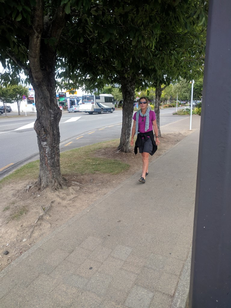 Belinda in Te Anau - in her "town" clothes :-) 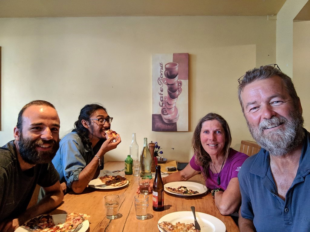 Delicious genuine Italian pizza (lovely crisp thin base) for dinner tonight - along with the obligatory beer for me.
0 Comments
We got away about 0715, just after David and Caesar. This day ended up being our longest ever in terms of kilometres walked - over 42km in just under 9h15 of walking (an 11 hour day in total). The Mavora Lakes campsite was 10 km away and was on a 4wd track all the way. The track was generally OK to walk on, although there were a few deep puddles to get around and for small parts it was on the gravelly lakeside. We met a guy heading northbound and stopped for a brief chat on the lake edge; he commented that the campsite had been a bit noisy for him (especially with offroad motorbikes zooming around all over the place) - reinforcing that it was a good decision to stay at Carey’s Hut :-). We arrived at the start of the campsite and made use of the toilets and water supplies before heading through the camp for the swingbridge at the outlet of North Mavora Lake. The campsite is very large - my estimate from maps is as much as 30ha available - although not all might be suitable for parking / pitching tents.  Brekkie with a cuppa :-) 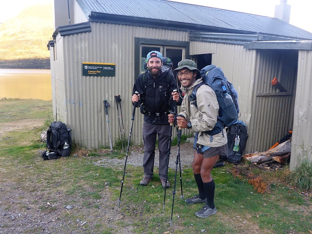 The younger duo ready to spring into action!! 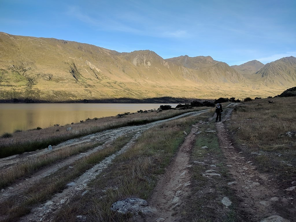 You can see the amount of 4wd activity over time from the various tracks. 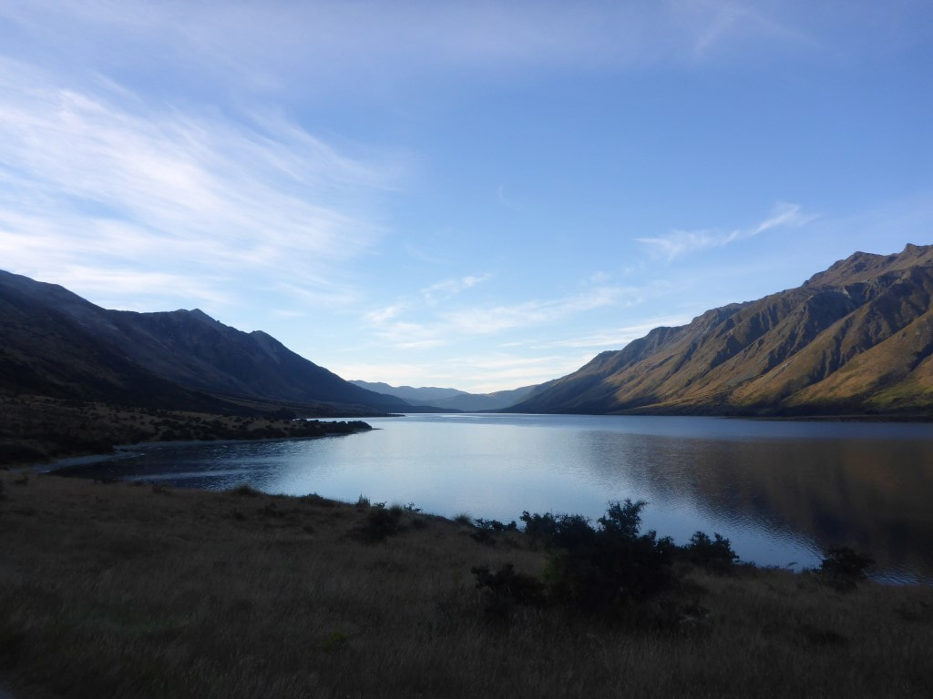 Looking down the lake in early morning light (0720). 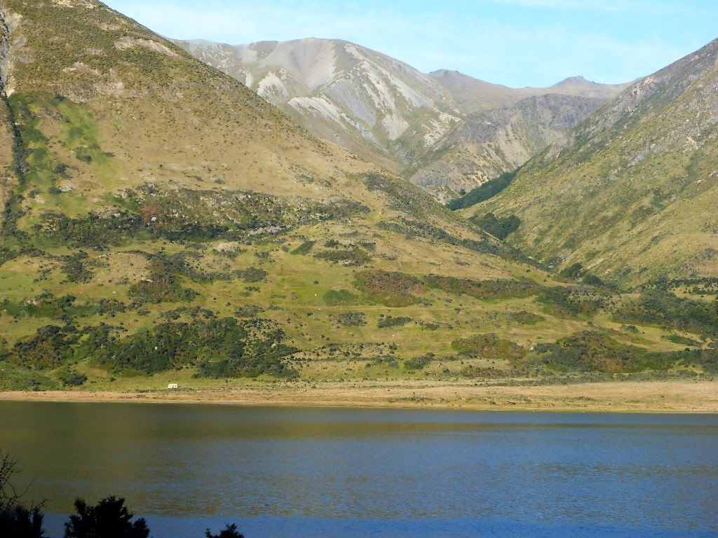 Looking across to the western shore of the lake - West Burn Hut near the lake edge. 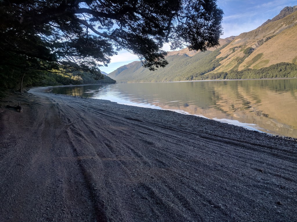 The 4wd track follows the gravelly lake edge for short stretches - apparently impassable (for vehicles) on occasions if the lake level is high. 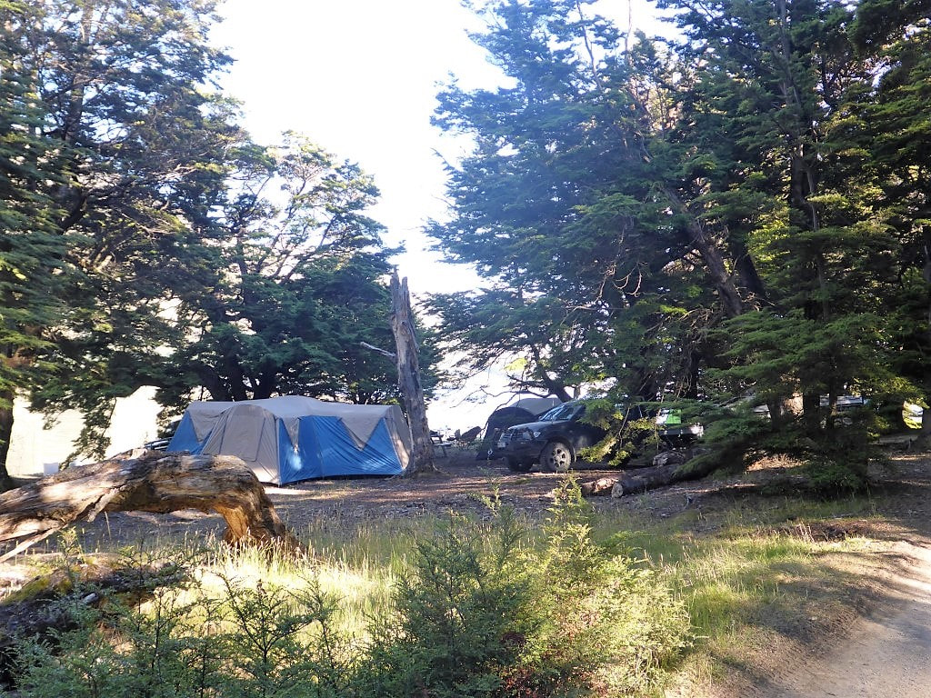 Not everyone sets up down the lake at the campsite. 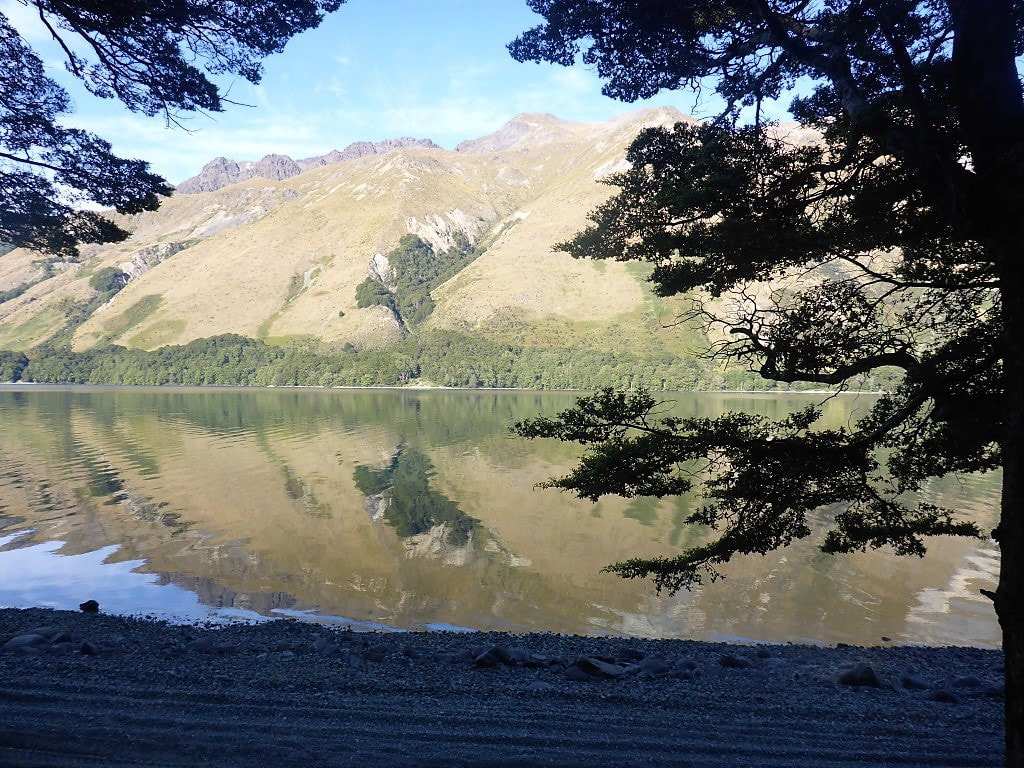 Not an absolutely glassy lake, but nice reflections nonetheless. 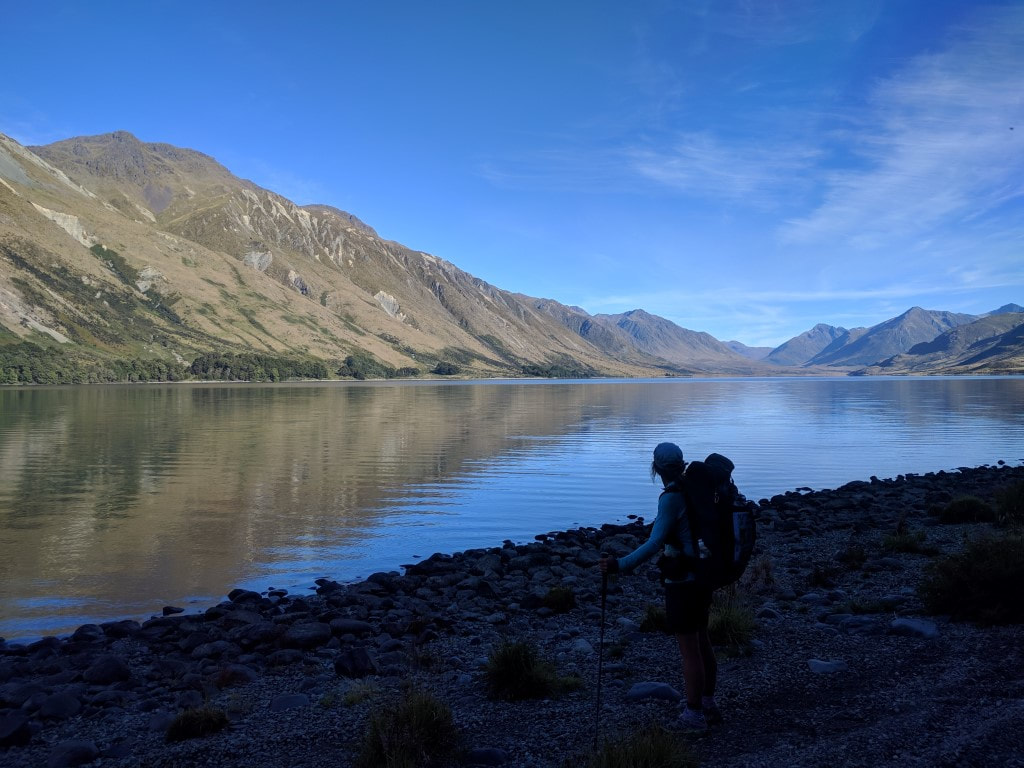 Looking back to the head of the lake. 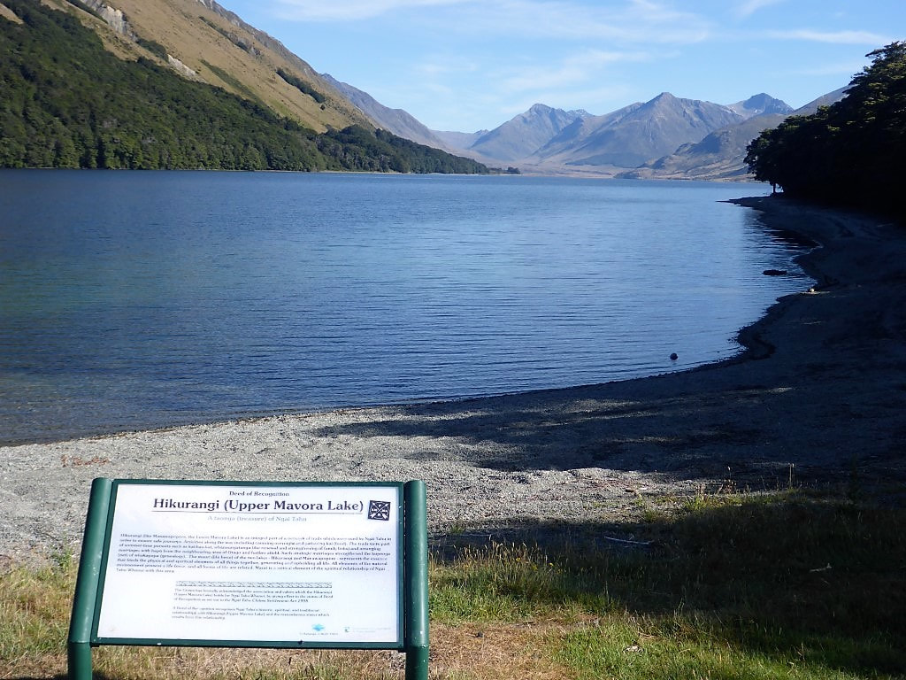 Hikurangi (Upper/North Mavora Lake) - a taonga of Ngai Tahu.  Great info about the area at the campsite.  This is the next part of the camp - about to head down the campsite road (Mavora Lakes Rd is to the left) to the outlet of the northern lake. We crossed the swingbridge and headed down the short (~1.5km) stretch of the Mararoa River that joins North with South Mavora Lake. The first bit of this was in beech, followed by a bit of open ungrazed grassland, before we got back into beech forest to walk around the western shores of South Mavora Lake. This was a very pretty part of the walk for us :-) A young kiwi lass called Kate caught up with us part way around and walked the rest of the way with us. She had been staying at the camp and was doing a short walk from the campground to the bottom of South Mavora Lake where there is another swingbridge that takes you back out onto Mavora Lakes Rd. Interestingly, Kate also told us that the motorbike activity around the campsite had just about driven her nuts! Just something to bear in mind if passing through during the height of the summer season - maybe camp away from the main camp ground!! The DoC sign said 2.5hr from the outlet of North Mavora Lake to the swingbridge at the end of South Mavora Lake - we did it in 1h15. 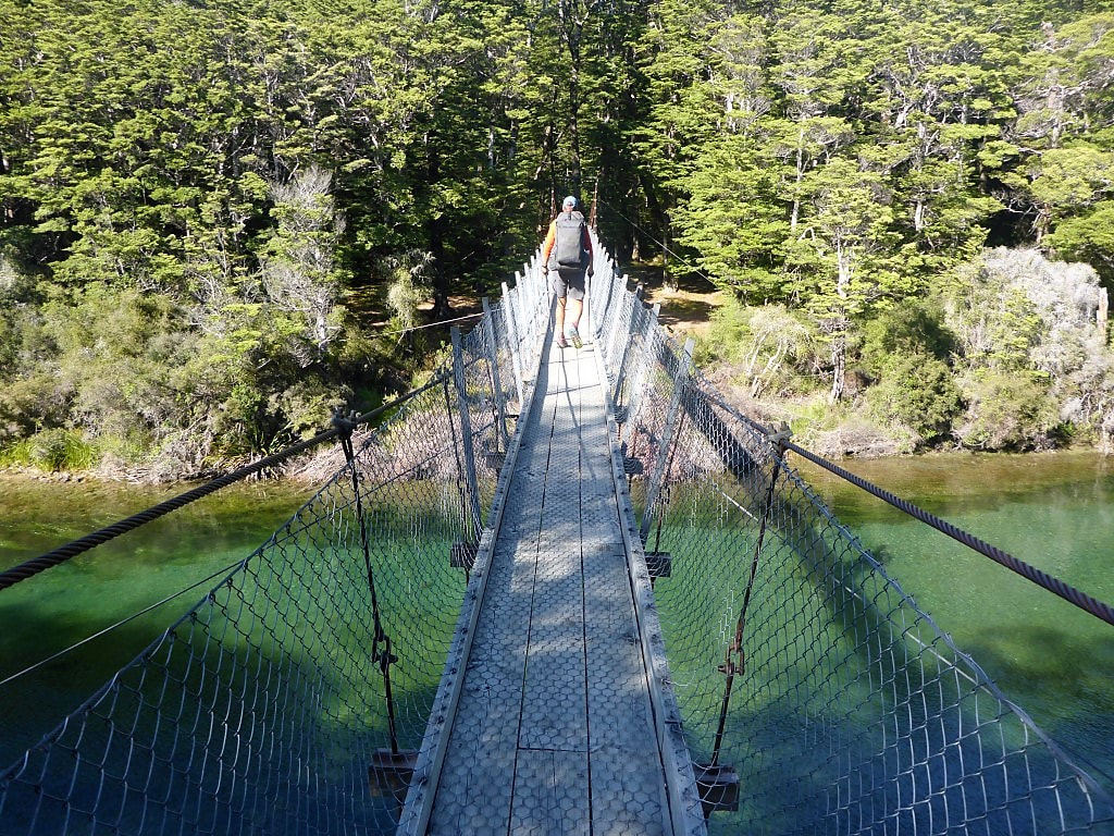 Heading across the outlet to the western side. 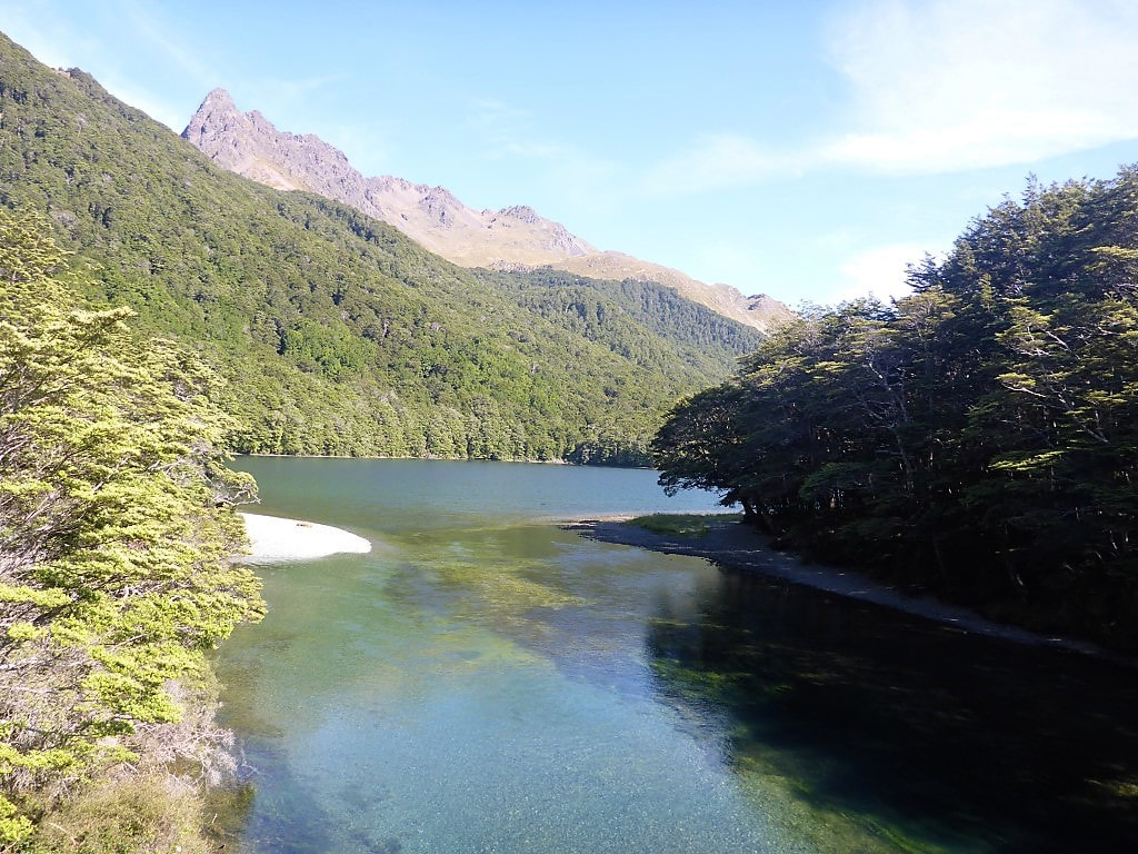 Looking south from the swingbridge.  A bit of nice open beech forest to walk through initially. 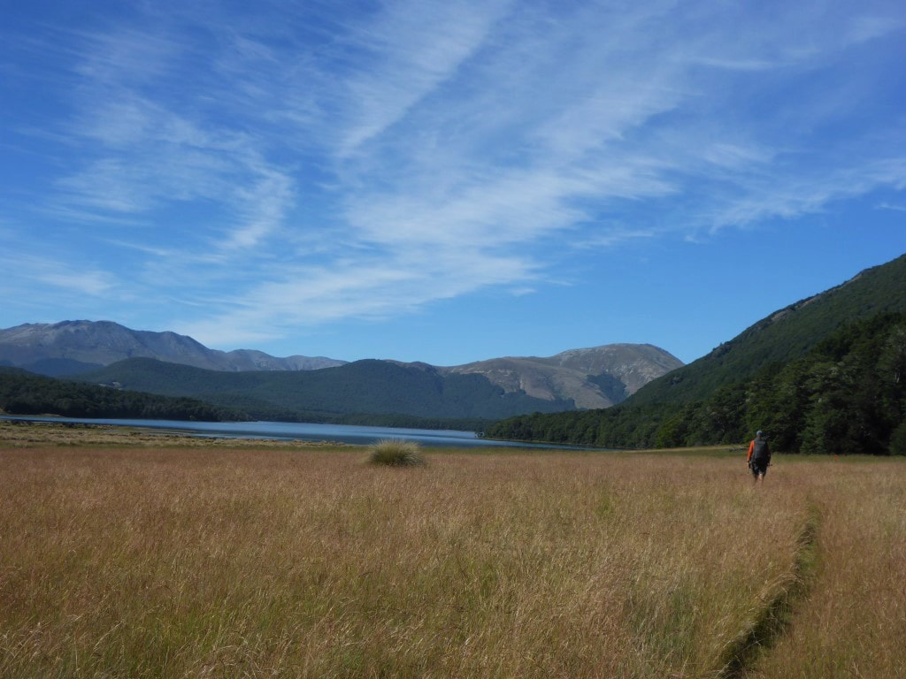 Then a bit of open grassy ground - South Mavora Lake in sight. 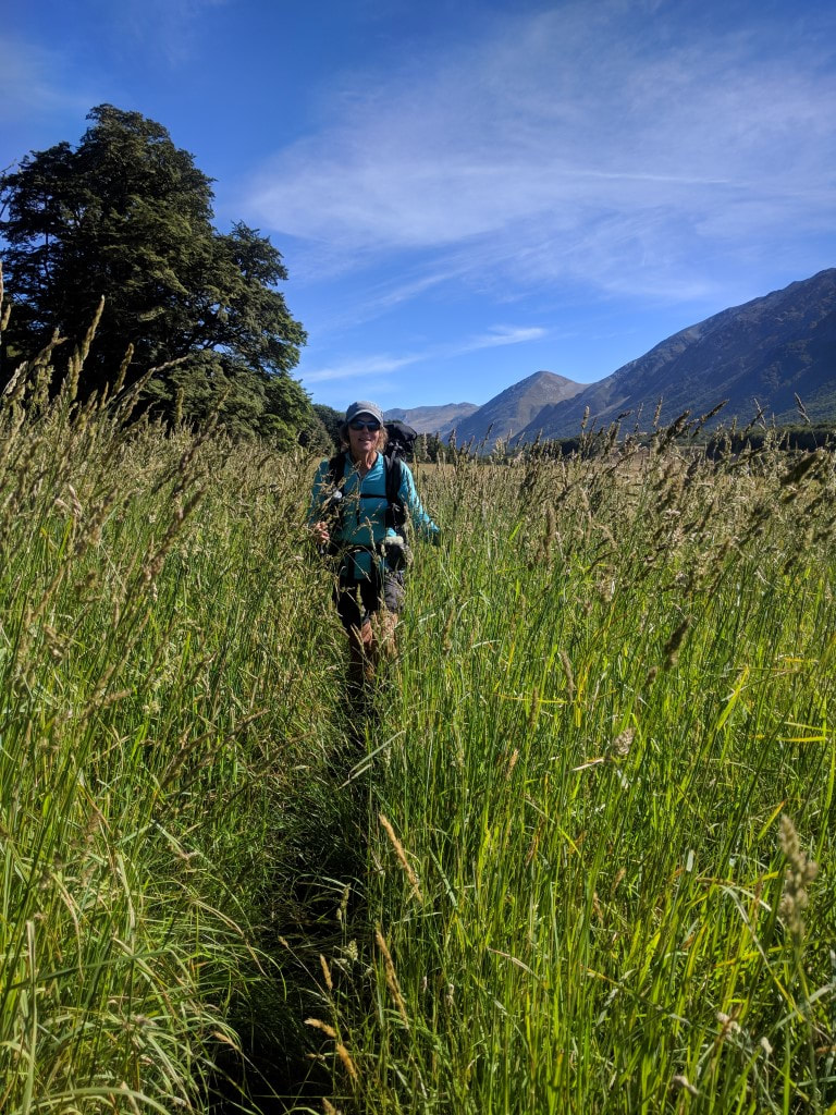 The grass was quite long in places :-) 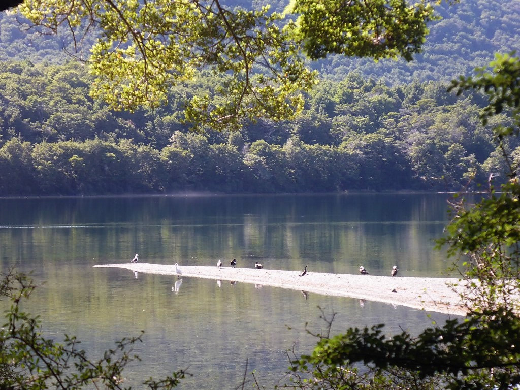 Little spit for the birds to occupy :-) 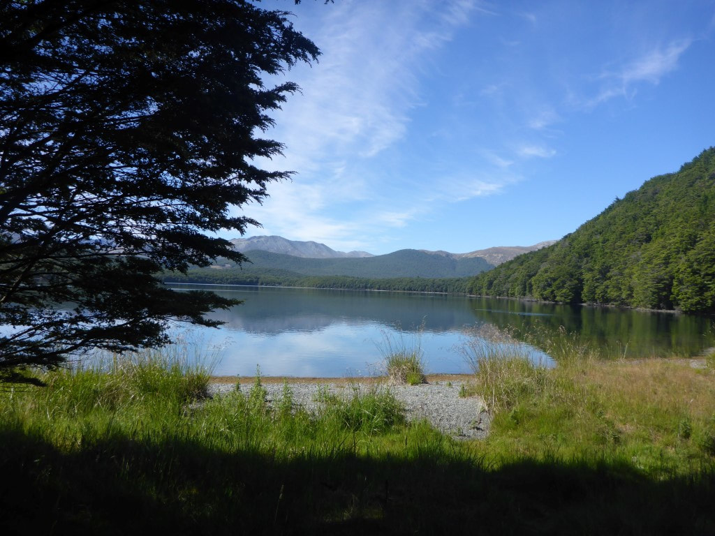 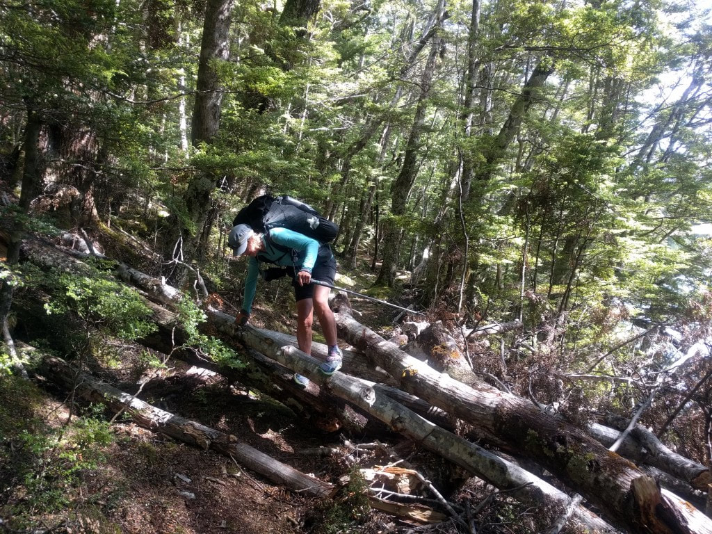 About the worst bit we encountered today - so pretty good :-) 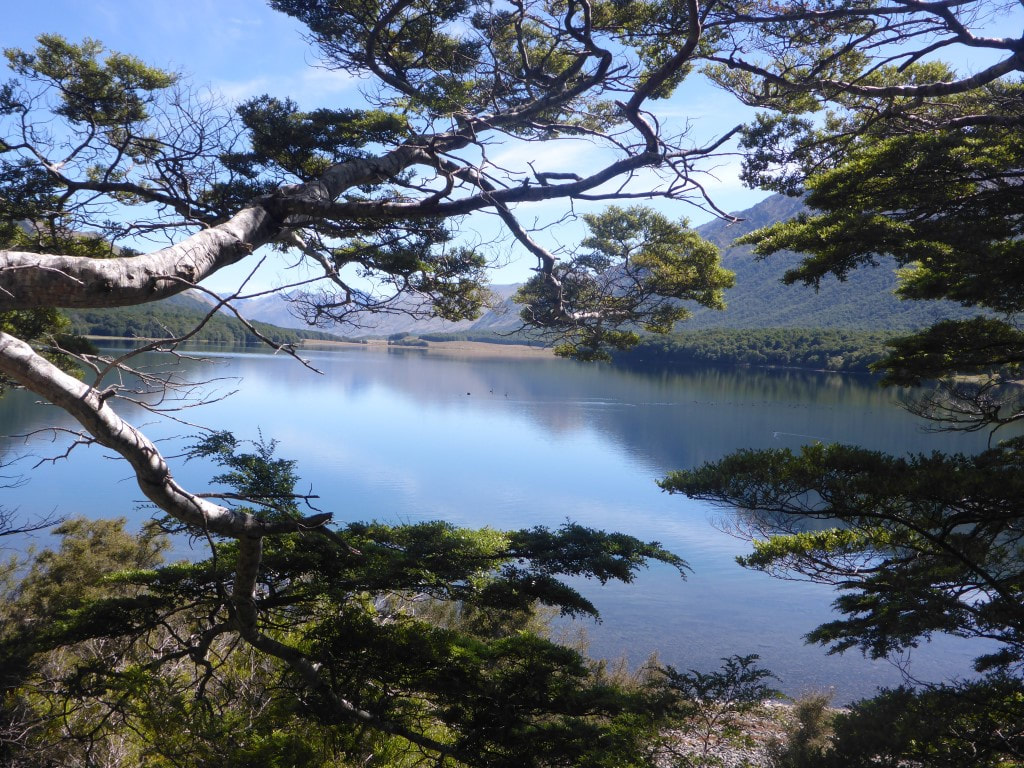 Another pretty lake view. 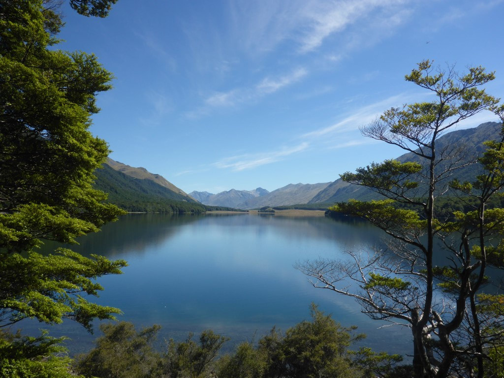 Can't have too many of those :-) 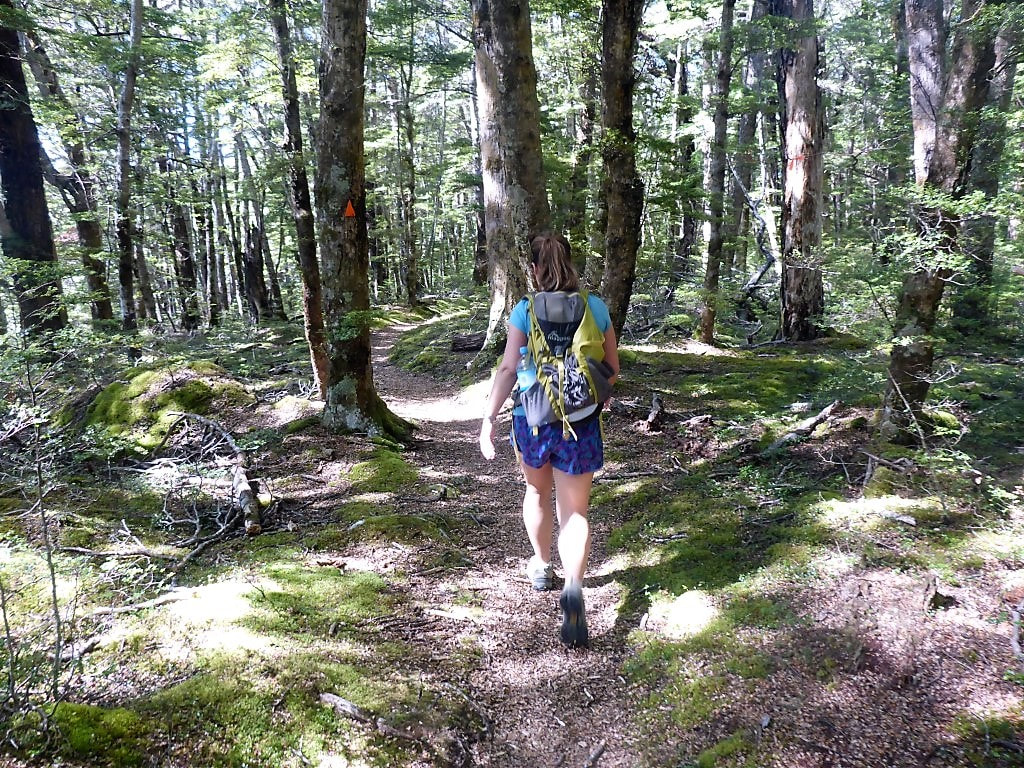 Kate striding along ......... 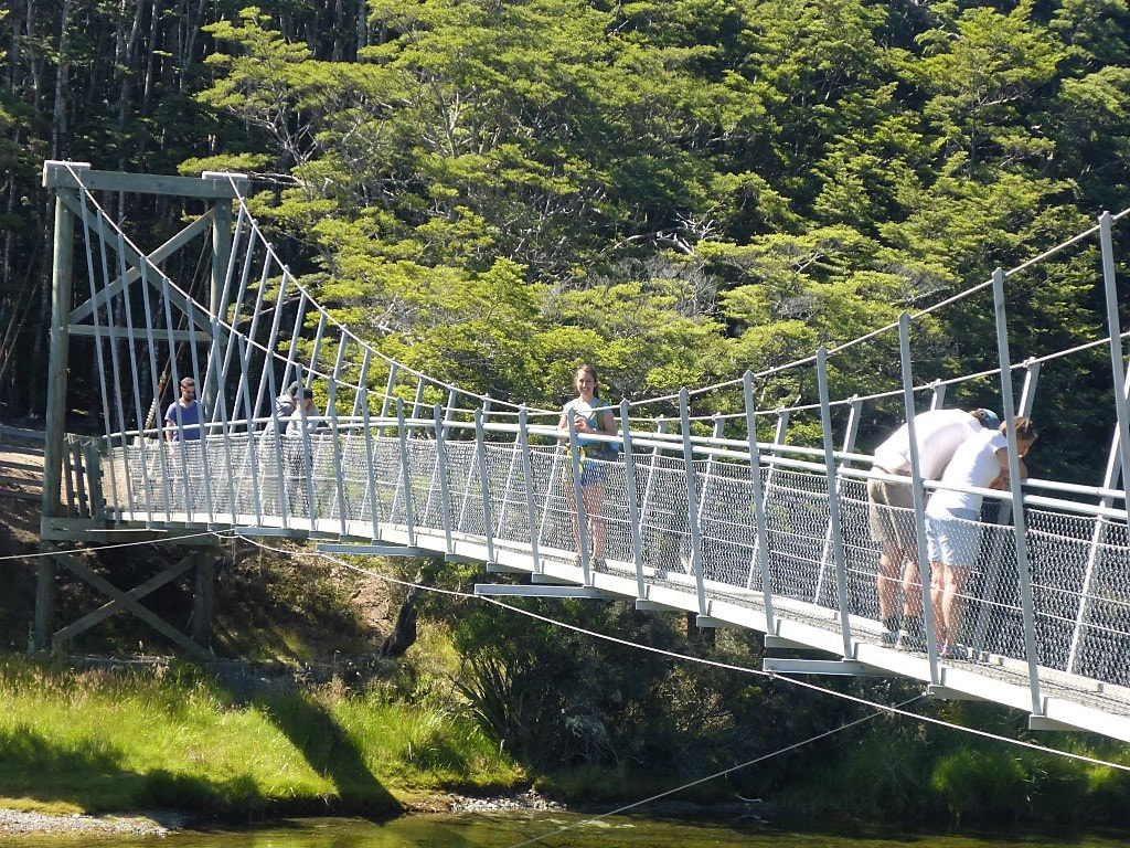 ..... and leaving us to head over the bridge back to Mavora Lakes Rd. From there it was another stint of mainly pretty beech forest following the true right of the Mararoa River down to the Kiwi Burn swingbridge (about another 7km or so), which we did in 1h50 (DoC suggested time was 2.5hr). We arrived there just after 1300 so stopped for lunch for 30 minutes or so in the shade of the trees, before crossing the bridge. We had already decided to avoid the next 18km or so or riverside trail and skip out onto the road here. Kirstine Collins had described it as the worst section of her TA back when she did it!! Also, when we met Bruce and Chris in Roses Hut a few days ago, Bruce had also described much of it as horrible - he indicated a fair bit of it was fenced off farmland on the river margin, so was full of long grass and growing scrub to battle through, with a few bogs thrown in! We can’t find anyone who really has anything good to say about this bit - hence our decision to take the road option instead :-) So after lunch it was across the Kiwi Burn swingbridge followed by a short walk up a gravel access road onto Mavora Lakes Rd. We hit the road already having completed 24.5km for the day - it would turn out to be almost another 18km down the road to where stopped for the night. 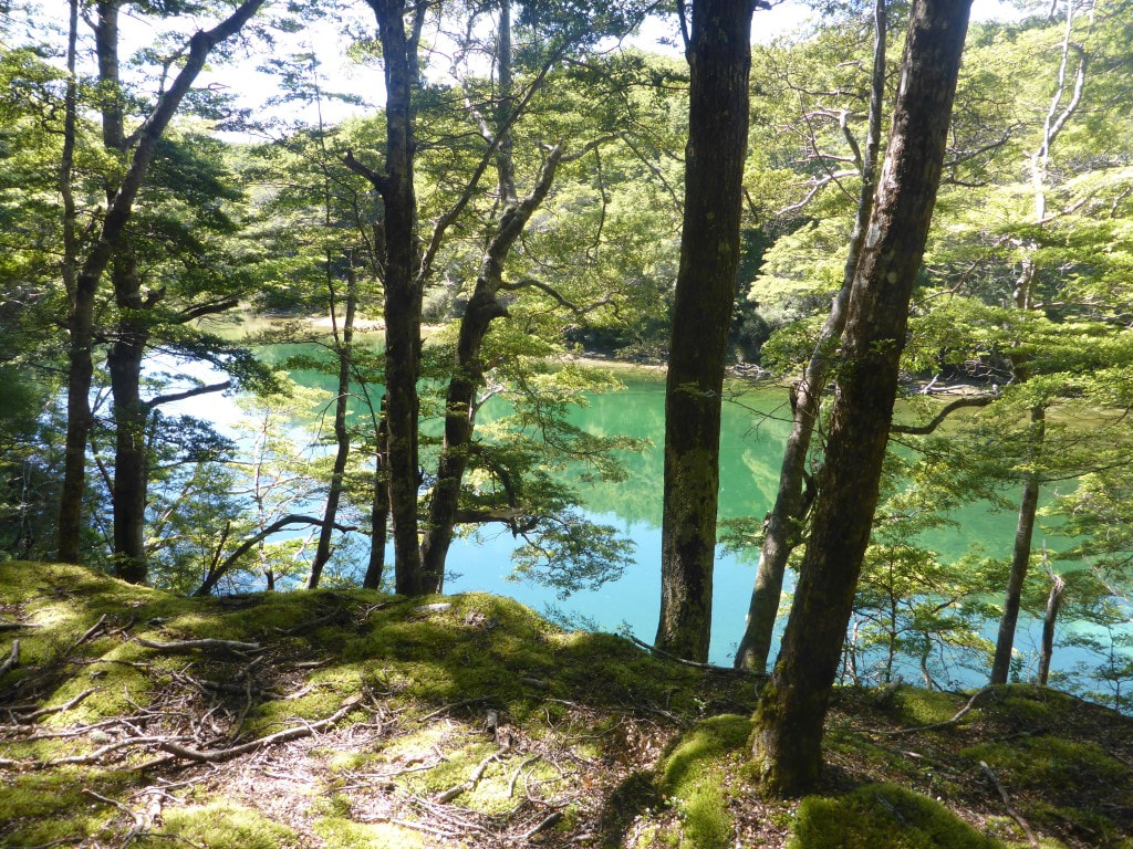 Walking close to the river edge so some nice views of the water along the way. 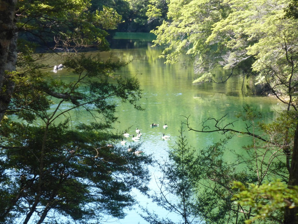 There are heaps of Canada geese, especially on South Mavora Lake and downriver.  B spotted this interesting fungus beneath the roots of a beech :-) 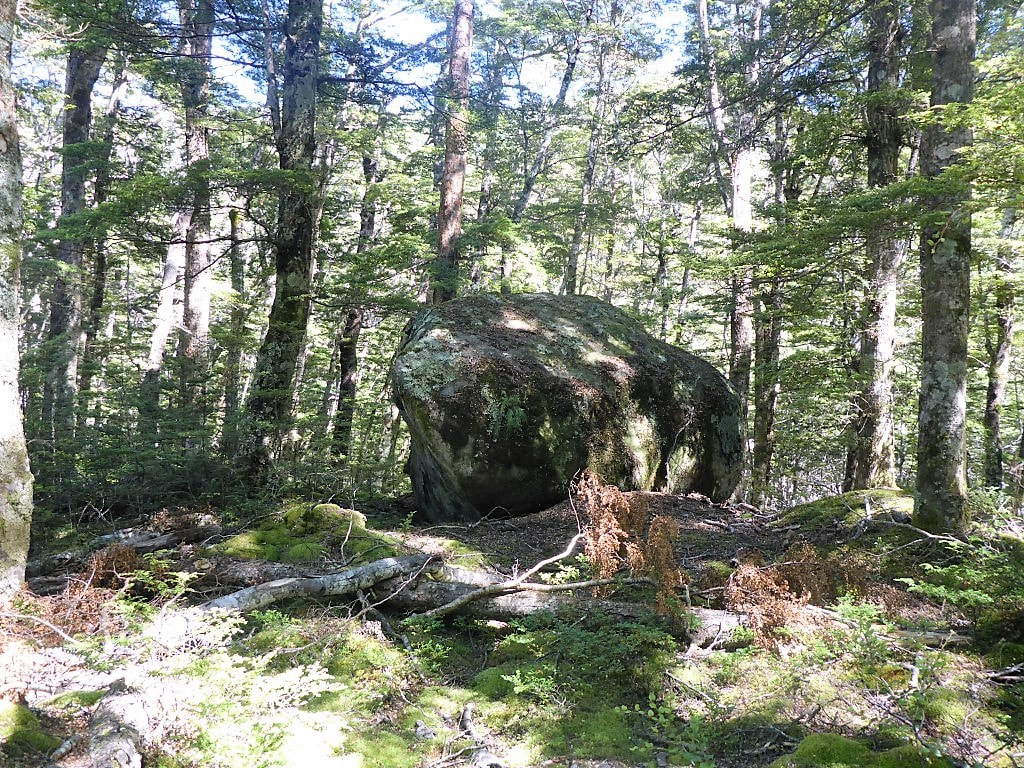 And a random large rock! 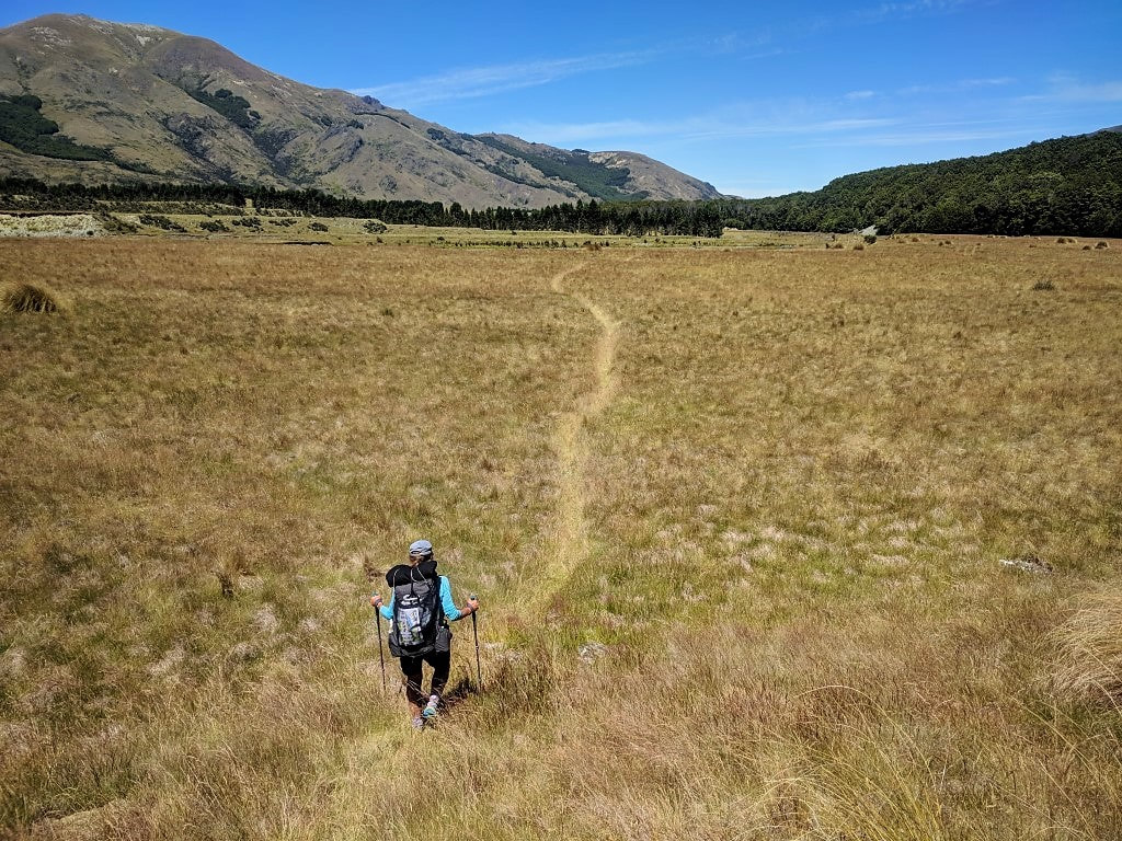 A short walk across more open grassland about half way between the bridges. 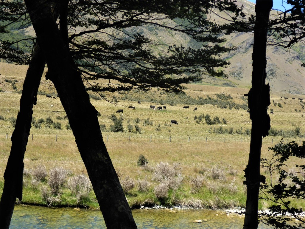 And from there on we could see farming activity on the eastern side of the river. 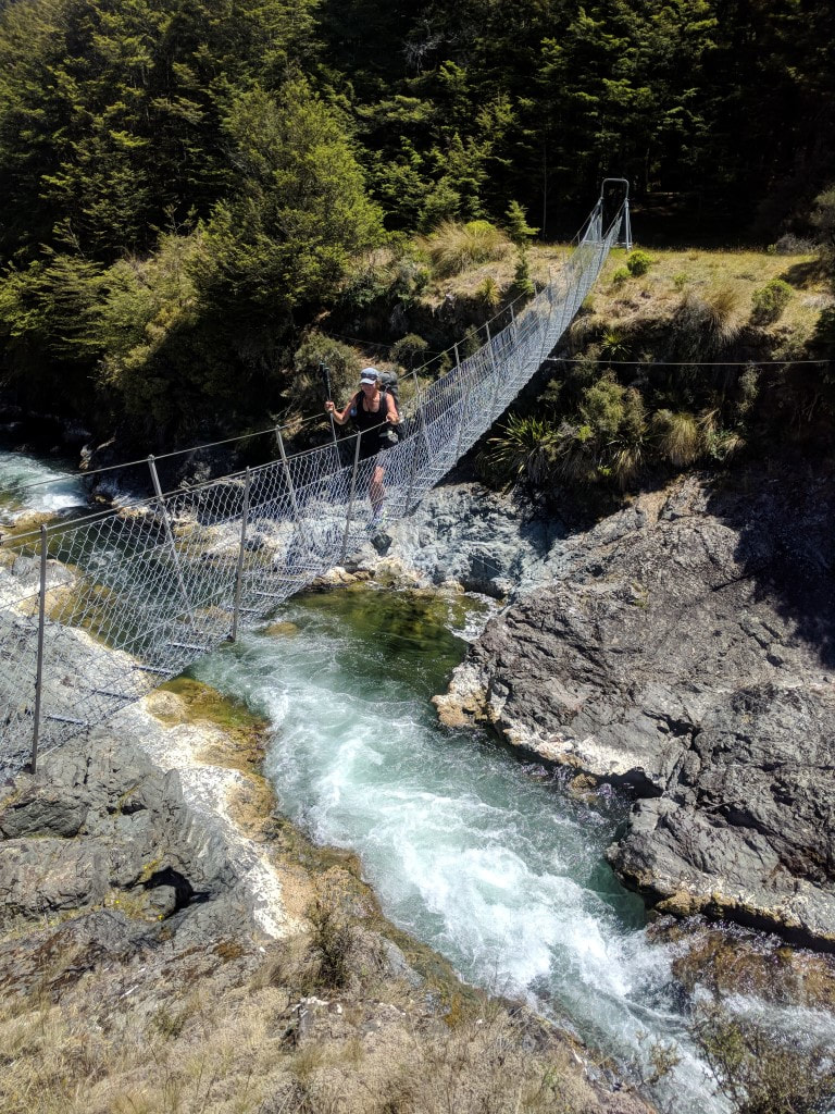 The Kiwi Burn swingbridge goes over quite a deep little gorge. There was a surprising amount of water considering it had been reasonably dry. 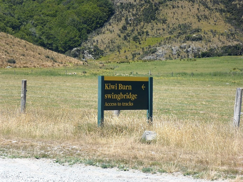 The sign on Mavora Lakes Rd where the access road from the bridge comes out. The rest of the day was just walking down the road (luckily we could walk alongside it, off the gravel, most of the way) until we reached the spot where TA joins up with Mavora Lakes Rd - a total of 42km for the day; as noted above, our longest daily kilometreage ever! It was very hot today but for once we were grateful for a gentle breeze which helped keep the temperature down a little. We had a couple of half hour stops along the way when we found some shade from shelterbelts planted near the road - it really was hot, exposed walking! There was also plenty of dust as there were numerous cars heading up and down to/from the campground.. Water was almost impossible to come by along the way (it is heavily farmed and the waterways showing on the Topo50 maps were very small/non-existent), but we made it with little to spare. 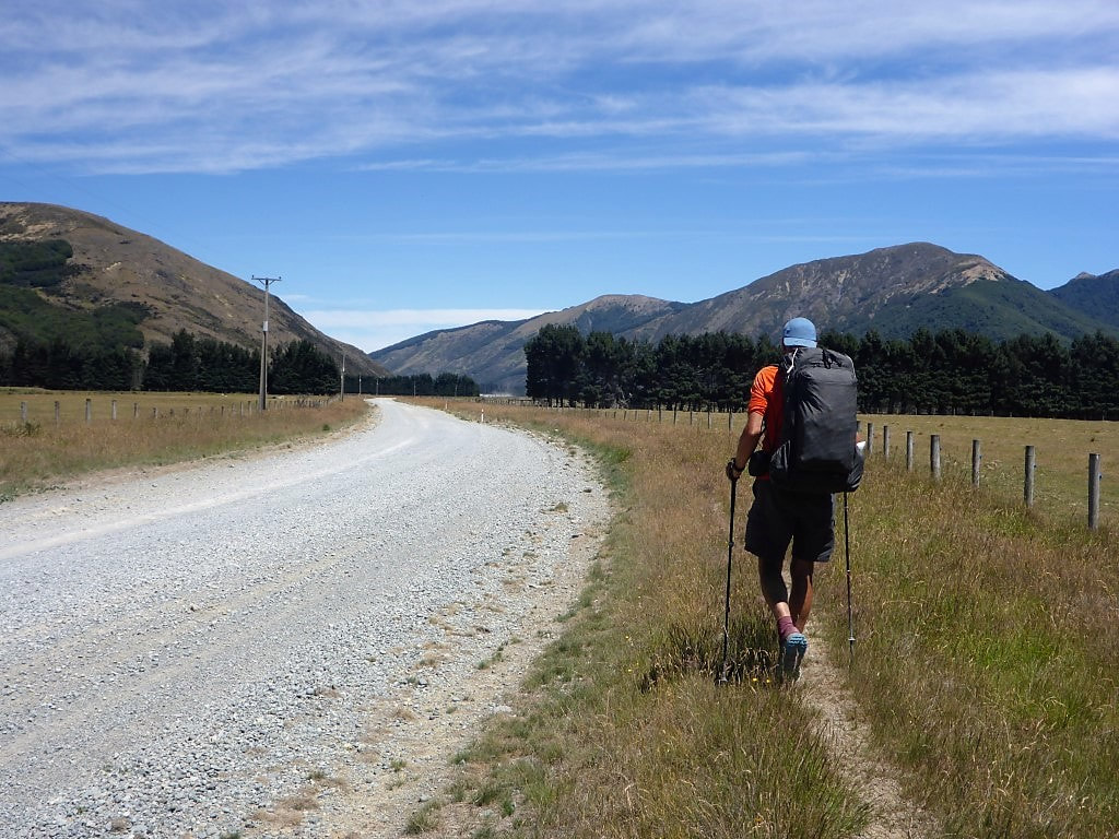 Starting off down the road - this would be a familiar view for us for the next 17+km! 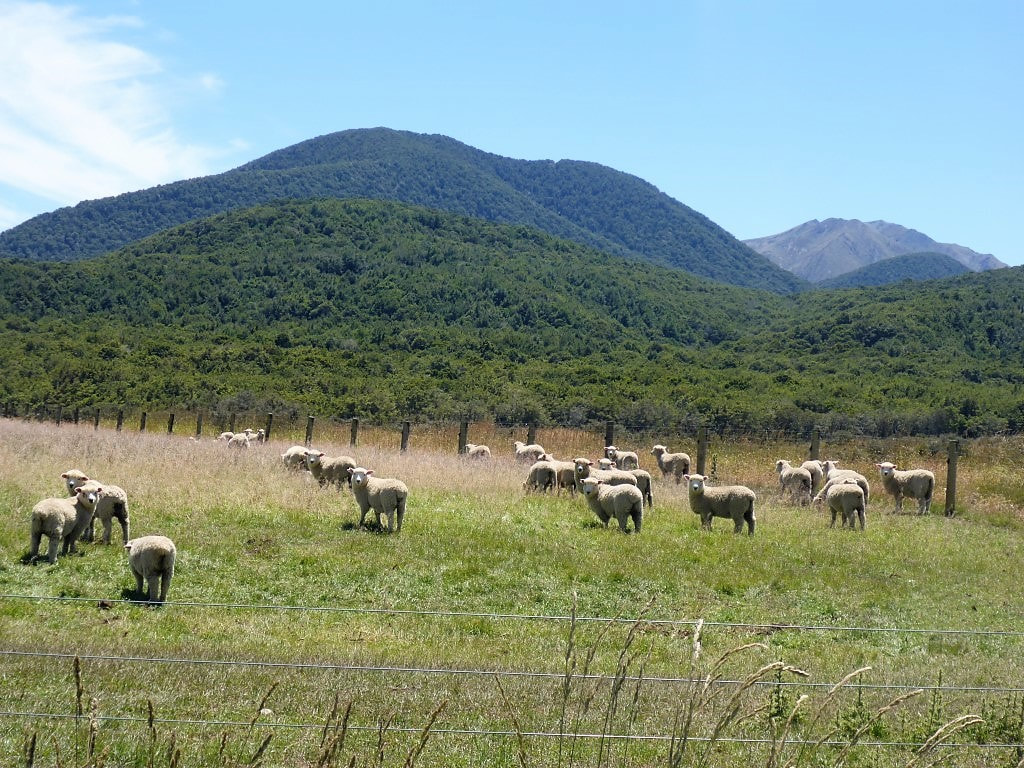 More sheep here than we had seen in a while. 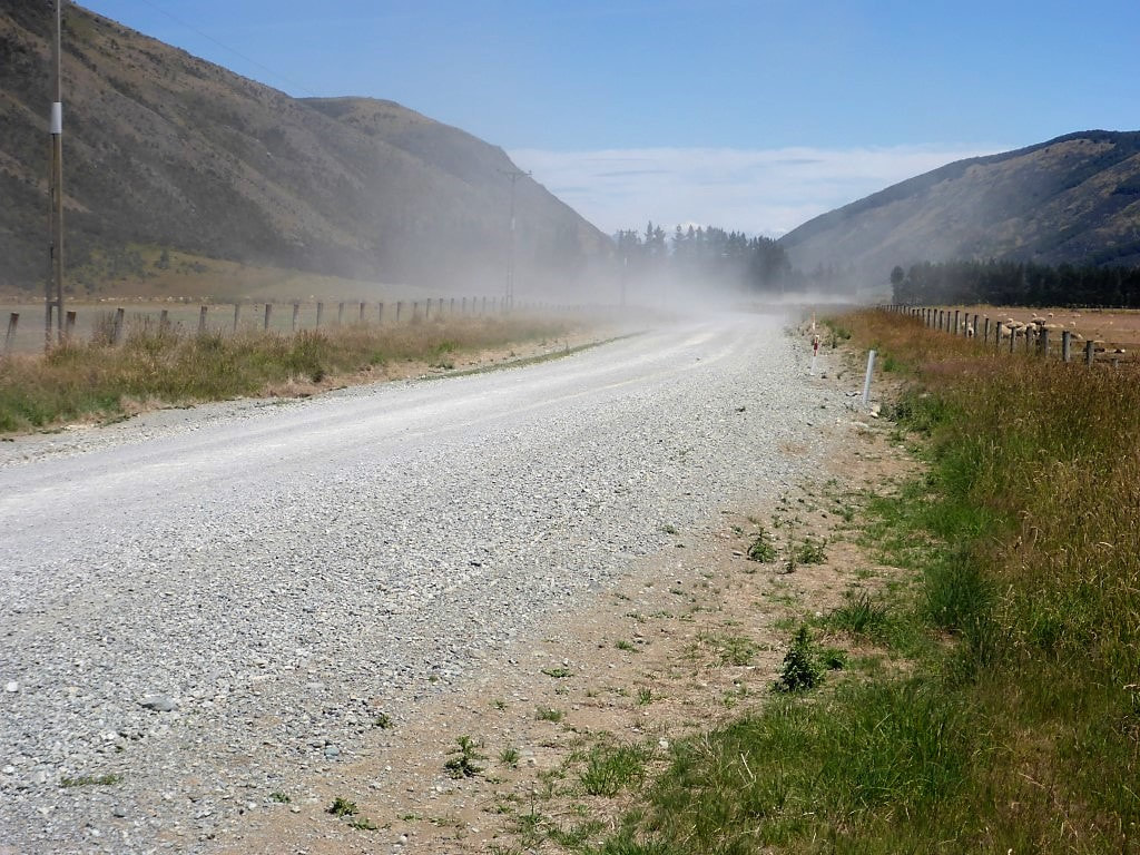 A surprising amount of dust-creating traffic on the road today! Luckily a gentle breeze tended mostly to take it away from us :-) 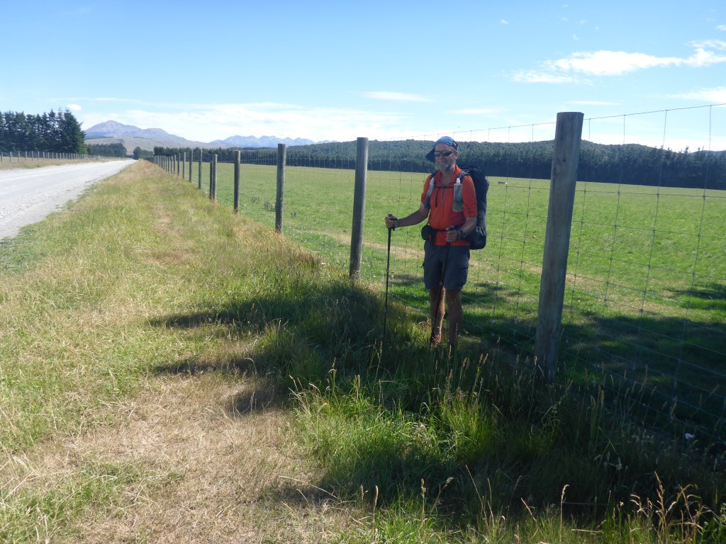 One of very few shady spots we found for a rest stop! 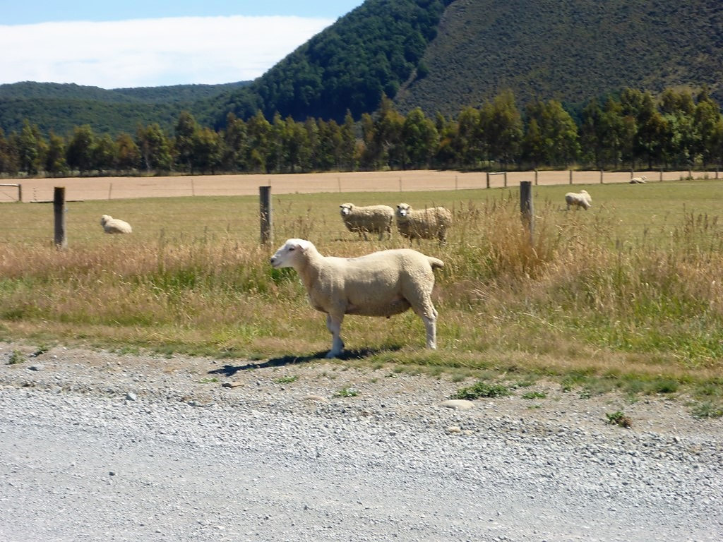 A ram on the road - good thing he wasn't in with the ewes behind as its far too early for that! Took us a little while to get past him as he kept running ahead of us. 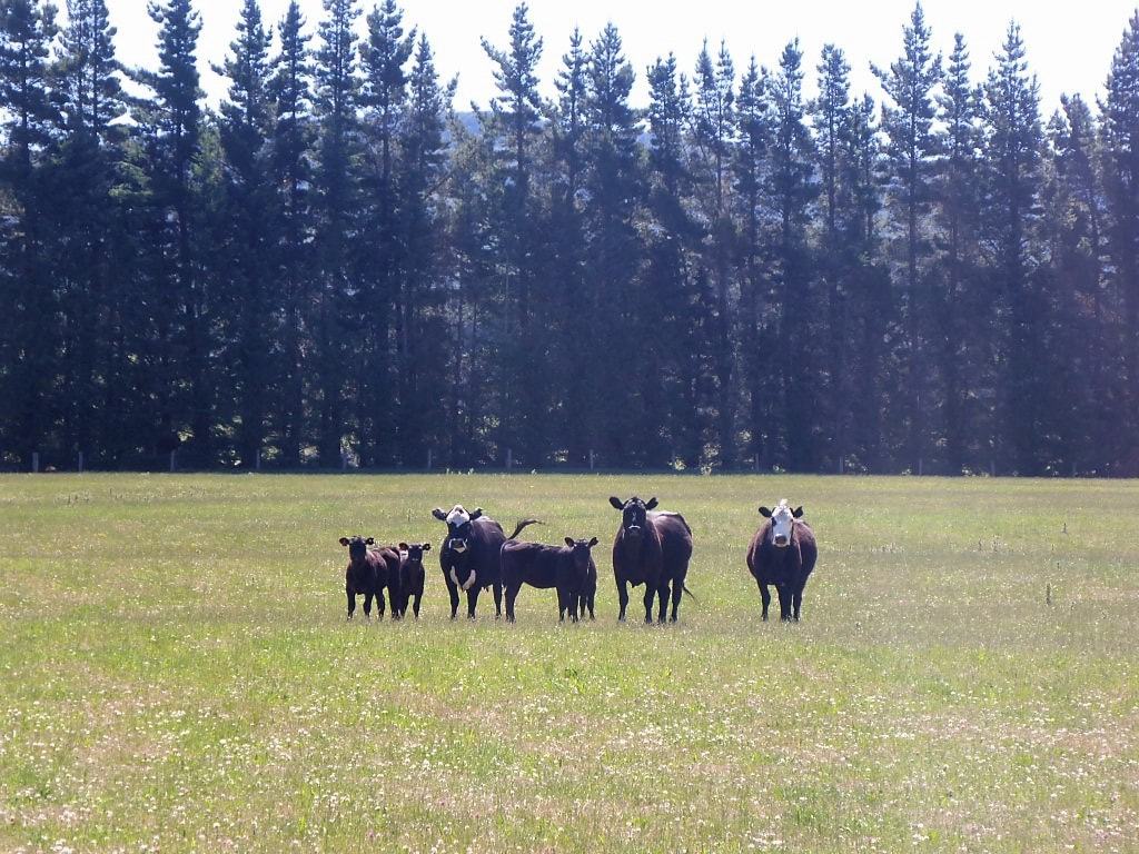 A few cattle in this paddock .......... 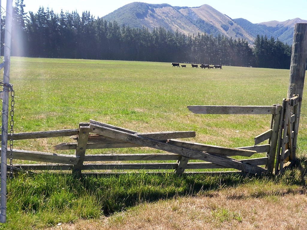 ..... but for how long, given the state of this gate onto the road???!! 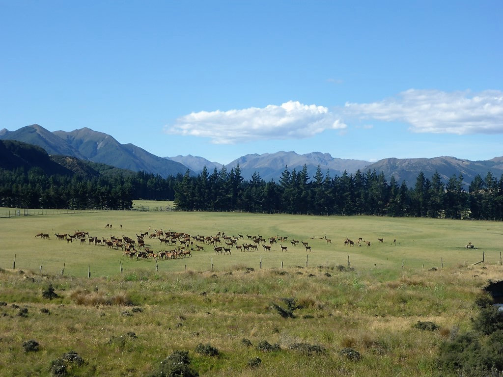 A paddock of deer near where we stopped - Wash Creek in the foreground. We knew that there was water by where the TA joins Mavora Lakes Rd (Wash Creek is very close and the Mararoa River not too far away also) so we shot down below the road to find a flat spot for the tent (luckily we had actually driven up here on our TA break before Xmas last year, so knew what it looked like!), dropped out packs and headed for Wash Creek! Had a nice cool wash and filtered a heap of water for tonight and tomorrow (the stream passes through a Landcorp farm). Had dinner and then set up the tent as it was still really warm - eventually getting in at about 2030 with the sun still beating down! Couldn't wait for it to cool when the sun finally went down. Also managed to get some patchy reception here to arrange some accommodation for Te Anau. The placed is chokka, as expected, but we have a tent site for two nights in the Te Anau Kiwi Holiday Park right in the middle of town (where we had also stayed before Xmas last year) - tenting is not our preferred option for a rest day but it will do!! 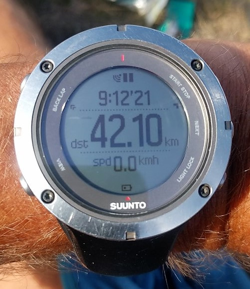 The day's effort in photo form! 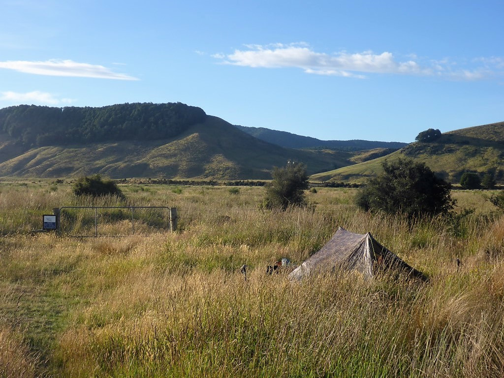 Our spot for the night - about 50m off the road. The The official TA route comes through the gate and up to the road. |

AuthorBelinda and Anthony (aka Tony) Hadfield made a decision, in their late 50's, to do something a "bit different" and walk New Zealand's 3000km Te Araroa Trail over summer 2015/16 - although updates will now tell you that this plan will take longer now!!. As the old saying goes - "don't leave home 'til you've seen the country"!! Archives
January 2018
Categories |
 RSS Feed